Gorges accessible by Dirt track on Crete Island

Find a gorge accessible by Dirt track near you

  • Sykia Gorge at Rodakino

The stunning Sykia gorge, which is actually the easternmost gorge in the province of Sfakia, is located north of Rodakino village. It’s a technical canyon, meaning that traversing it requires specialized equipment due to its over 10 steep descents or waterfalls, which are safeguarded by the speleological groups of Crete. The tallest rappel stands at around 12 meters high.

The Sykia stream combines with the untamed canyons of Rodakino (also known as Maglinara) and the longest gorge in the area, Karavos. The stream then flows under both the new and old bridges of Rodakino, finally reaching the picturesque Korakas beach. Canyon explorers typically leave the gorge just after the old bridge, while those up for a full-length trek will encounter another rappel. The narrowest part of Sykia, after it merges with the Rodakino Gorge, is truly breathtaking.

Speleological clubs have named the gorge Sykia, meaning sycamore-fig tree, due to the abundance of fig trees found along the route. However, its official name is Xepitira. Except for times following heavy rainfall, the gorge is typically dry.

  • Charkomatas Gorge
  • 3 h
  • Hiking

The Chalkomatas, also known as Charkomatas Gorge, is situated close to the village of Chamezi in the province of Sitia. The gorge begins where a dirt road ascends towards the Prophet Elijah temple and Liopetro fortress. The vegetation in the gorge is sparse, but the limestone geological formations are striking. The path along the usually dry riverbed is mostly smooth and relatively easy to navigate.

Approximately halfway along the route, elevated 60m above the riverbed, lies the Geloudospilios cave. Its name derives from the Geloudes, demonic entities that take the form of women and are said to drain the life from newborns by drinking their blood.

A three-hour trek through the gorge leads to the stunning Roussa Limni beach. The beach is located below the Chalkomatas cave, where, as per local folklore, pirates once concealed their valuable loot. There are rumors that locals even detonated the cave in their quest for gold. Alternatively, Roussa Limni can be accessed via a road from the nearby Papadiokambos beach, which is just a short walk away.

  • Koudoumas Gorge
  • 3.5 h
  • Hiking

The Koudoumas or Kofinas gorge starts at an elevation of 1000m near the base of Kofinas, the tallest peak of the Asterousia Range, and concludes at the Koudoumas Monastery beach. Its initial segment is a technical gorge of exceptional beauty, locally known as Katarraktis (Waterfall) or Keadas (Kenad). The total descents in the gorge leading to Koudoumas monastery are 18, with the highest reaching 38m. The upper section is only accessible with canyoning gear and was first explored in 2004 by Kostas Psarakis and Manolis Kambourakis, and bolted in 2017 by the Asterusia Adventure Team (Manos Petrakis, George Makrygiannakis, Nikos Foukakis, Savvas Paragmaian, Giannis Aggelis, Christina Aggelidou, Savvas Eftychis, and Dimitris Karatarakis).

It is possible to descend the gorge without technical equipment by navigating around the Katarraktis section. However, caution is required due to the area’s steep slopes, unstable ground, and lack of marked trails, which can strain the knees.

As you descend, the initial vegetation is predominantly cypress and oak trees, but as you near sea level, pine trees become more prevalent.

  • Havgas Gorge by Kavousi
  • 1 km
  • 1.5 h
  • Canyoneering equipment needed

In the eastern region of Crete, the term Havgas is frequently encountered, often used to name canyons and in some variations such as Ha, Havgoudi, and so on. One of the many gorges bearing the Havgas name is located near Kavousi, in the Ierapetra province. This gorge is essentially the lower segment of the wild Mesonas gorge, which originates from the Thripti plateau.

The section known as Havgas begins close to the Minoan settlement of Azorias and concludes its path in Kavoussi. Despite its short length of only 700m, traversing it via its stream demands technical (canyoning) gear due to the presence of six stunning waterfalls. The tallest of these waterfalls reaches 20 meters in height and retains water well into the late winter.

As an alternative, the gorge can be navigated by foot along the ancient hiking trail that skirts the canyon from its eastern side, linking Avgos to Kavoussi.

  • Agios Charalambos Gorge
  • 1 km
  • 0.5 h
  • Hiking

Saint Charalambos Gorge, a picturesque but petite canyon, is situated to the south of Ano Asites village. The gorge is named after the Saint Charalambos church that was constructed near its entrance beneath a rock. Up until mid-spring, the gorge is filled with water, compelling trekkers to walk along its walls to bypass the riverbed. The stream of the gorge carries water from the valley situated east of Prinias village to Agios Antonios gorge, eventually forming the Xeropotamos river that concludes at the Pancretan Stadium beach in Heraklion.

Our journey begins from the Agios Charalambos chapel nestled in a large rock shelter. We then make our descent along the river, where lovely ponds are formed. As we look upward, the grand walls with their vast caves become visible. The exit of the gorge has incredibly narrow passages which require us to traverse along a trail during winter. However, in the summer, it’s possible to walk on the riverbed, but caution is advised to prevent any ankle injuries.

  • Rodakino Gorge
  • 3.2 km
  • 6 h

The canyon, located to the north of Rodakino village, requires canyoning equipment for access. It begins to the south of Kryoneritis Mount’s peak and extends for 5km before merging with the SykiaSykia canyon, just prior to the Rodakino bridge. The stretch before the Sikia junction features 16 rappels, and there are an additional 4 rappels in the Sikia gorge leading up to the bridge.

Most of the year, the canyon is dry, and in many spots, it narrows to just 1.5m. Typically, canyoners enter the gorge midway, not at the beginning. To find the entrance, one must drive on a dirt road that starts in Rodakino and ends at a sheepfold roughly 2.5km to the northeast. From there, a small stream is descended until the canyon’s riverbed is reached. This part of the canyon has a maximum rappel of 15m and takes around four hours to traverse.

  • Keratida Gorge
  • 3 km
  • 2 h
  • Hiking

The petite Keratida gorge, filled with pine trees, begins just past the village of Koustogerako. After a challenging two-hour hike, it intersects with the coastal E4 trail that links Sougia and Agia Roumeli. Initially, the route runs alongside the gorge. However, the descent is quite steep and requires caution, as the gorge can be quite unforgiving. The route concludes near the sea, in close proximity to Agios Antonios beach (also known as Charei). From Agios Antonios, it takes an additional two hours to get back to Sougia.

  • Maganistra Gorge
  • 3 km
  • 2 h
  • Hiking

The Maganistra Gorge, which originates near the peak of Limni and close to Agios Dimitrios in Varsamakia, winds its way through the abandoned village of Pateriana before concluding its 3 km journey in Lousakies. The gorge is flanked by the towering peaks of Kouvara and Profitis Ilias. The water flow in the gorge lasts until early summer and it offers a moderately challenging trek. The gorge’s river merges with various smaller streams before eventually ending in the town of Kissamos.

  • Ahlia Gorge
  • 1.5 km
  • 0.5 h
  • Hiking

Commencing from the west of the village of Skinokapsala, at the Kipos spot, lies the petite yet fairly broad Ahlia gorge. This gorge, blanketed by pine trees, concludes at the Ahlia beach, also referred to as Galini. Throughout the winter season, the Thripti Range feeds a river with its waters, creating a string of waterfalls that vary in height from 5 to 8 meters. The gorge’s sandstone walls are wide enough to make hiking a breeze, eliminating the need for any canyoning gear.

  • Santorinios Gorge
  • 3 km
  • 1 h
  • Hiking

Just a stone’s throw away from Heraklion city, near the Agios Panteleimonas Monastery in Fodele, you’ll find the Santorinios canyon. This canyon carries water from the Marathos village and the western slopes of Platani to the Fodelianos river. Although the canyon is relatively short, it remains unexplored due to the challenging access caused by thick vegetation and numerous ponds. Trekking through the riverbed, despite getting wet, simplifies the journey but calls for a change of footwear. The canyon’s name originates from the soil’s resemblance to that of Santorini Island, which was previously used in Crete’s construction.

Upon entering the gorge, you’ll encounter the ruins of a two-room watermill, its walls still standing tall, supported by an ivy branch woven into them. After some time, you’ll reach the first pond, Azilakokolymbos, which appears to be the path’s endpoint. However, if you manage to bypass the lake by either swimming or rock climbing, there’s more to discover. After overcoming this hurdle, the journey continues smoothly until you reach a majestic waterfall that forms a stunning pond at its base.

The adventure intensifies from this point. To proceed, you’ll need to scale the right side of the waterfall, approximately 15 meters, to reach the hilltop. To access the waterfall’s edge from here, a rope is necessary due to the steep and slippery terrain. As you continue up the canyon, you’ll be greeted by two awe-inspiring twin waterfalls.

  • Panagia Keralimeniotissa Gorge
  • 0.6 km
  • 1.5 h
  • Canyoneering equipment needed

Also known as Kalami I, the Panagia (Virgin Mary) Canyon runs in parallel to the Xerofarago Gorge, or Kalami II. It’s named after the Panagia Keralimeniotissa Monastery, which used to be located at the canyon’s exit. This canyon is technical, meaning it features steep descents and requires special canyoning gear to traverse. Spanning roughly 600 meters, the canyon includes six rappels, the highest of which is about 15 meters. It’s rich in vegetation and has a distinct beauty. The riverbed holds water until spring. Crete’s speleological clubs have bolted the canyon, and a small canyoning group can navigate it in about 1:30 hours.

If you’re planning to use two cars and park them at the canyon’s entrance and exit, the distance between the two parking spots is around 2.5 km or a 10-minute drive. Alternatively, you can reach the entrance by walking along the canyon walls for approximately 20-25 minutes.

  • Kapni Gorge
  • 5 km
  • 4 h
  • Hiking

The Kapni Gorge, one of Eastern Sfakia’s most stunning canyons, remains largely undiscovered. The gorge begins as an open stream south of the Akones peak at Hionistra, located on the road between Askyfou and Asfendou villages. It concludes in the village of Nomikiana in the Sfakia province. In Hionistra, two streams in calcareous soils converge to form the Kapni Gorge after an hour’s walk. The canyon is extensive, requiring around four hours to traverse. It is among Crete’s challenging and perilous trekking gorges, with a rugged riverbed that forms dry waterfalls in certain areas, necessitating climbing.

It is not advisable for those inexperienced in mountaineering. The riverbed features several small caves that were previously used as sheepfolds. In one of these caves, there is drinking water, the only source in the harsh Kapni region. This water source is hard to find unless one is very familiar with the area. Kapni is home to beautiful vegetation, including maples and oak trees, and stunning walls of platy limestone in several places.

The name Kapni, meaning smoke, traces back to a story from the Venetian era. East Sfakia was once densely forested, providing refuge for Cretans fighting the Venetians. To counter this, the Venetians burned these forests, including the one in Kapni, which was so dense that the fire burned for weeks. The narrowness of the gorge created an oven-like effect, trapping the fire and significantly raising the temperature. The intense heat baked the mountain rock, similar to a lime kiln, and smoke lingered for days after the fire ceased. That autumn, a massive flood swept through the bare, fire-scorched hillsides, moving rocks with immense force to the gorge’s exit. This event resulted in a large deposit of sediment, creating the most impressive scree (locally known as sara) in Crete, visible from miles away. This scree starts at the gorge’s exit and extends to the village of Nomikiana.

  • Agia Irini Gorge - Lassithi
  • 3 h
  • Hiking

The Agia Irini gorge, located near the quaint town of Ziros, begins from the Agia Irini village and concludes at the stunning Agia Irini beach. An ancient path through the gorge leads to the Xerokambos area. Before reaching the sea, it converges with the Platyvolo gorge, which drains the small Hametoulo plateau where a dirt road leads to the beach.

Both gorges are rugged and untamed, characterized by steep inclines and towering walls. The westernmost branch, in particular, can be intimidating and hazardous for those unaccustomed to canyon hiking, though it doesn’t require any technical skills. A hike through the gorge typically takes between 2 to 3 hours, depending on your speed. The steep inclines, which start at an altitude of 500m and descend to sea level, can put significant strain on your knees. There are no marked trails, so hikers must navigate their own way.

  • Xerokambos Gorge (Lamnoni)
  • 5 km
  • 2.5 h
  • Hiking

The Xerokambos Canyon, also known as Ziros Canyon, Hamaitoulo Canyon, or Lamnoni Canyon, is among the driest gorges in Eastern Crete. This gorge once served as a pathway from Ziros to Xerokambos. A hike through this gorge is relatively easy, taking roughly two hours to complete. The canyon is renowned for its rugged charm, featuring towering bare walls and sparse vegetation. As you traverse the gorge, you’ll be able to glimpse the expansive South Cretan Sea in the distance. During the summer, the area can become quite hot with little shade available. It’s recommended that one person in your group drives to the top entrance of the canyon at the small Lamnoni plateau or to the second entrance near Hamaitoulo village, then meets the rest of the group in Xerokampos. There, they can enjoy the area’s stunning sea views and emerald beaches.

Traveling from Xerokampos to the Ziros plateau, the gorge’s exit is clearly visible. From Ziros, head towards the abandoned Lamnoni settlement, approximately 4 km east. Here, you can follow the ravine that soon becomes the gorge. Initially, you’ll come across a small water fountain and may need to open a few gates to allow goats to graze. From this point, you can enter the gorge and walk towards its exit near the Ziros – Xerokampos road. The gorge then extends to Lygia beach.

  • Achendrias Gorge
  • 4 h

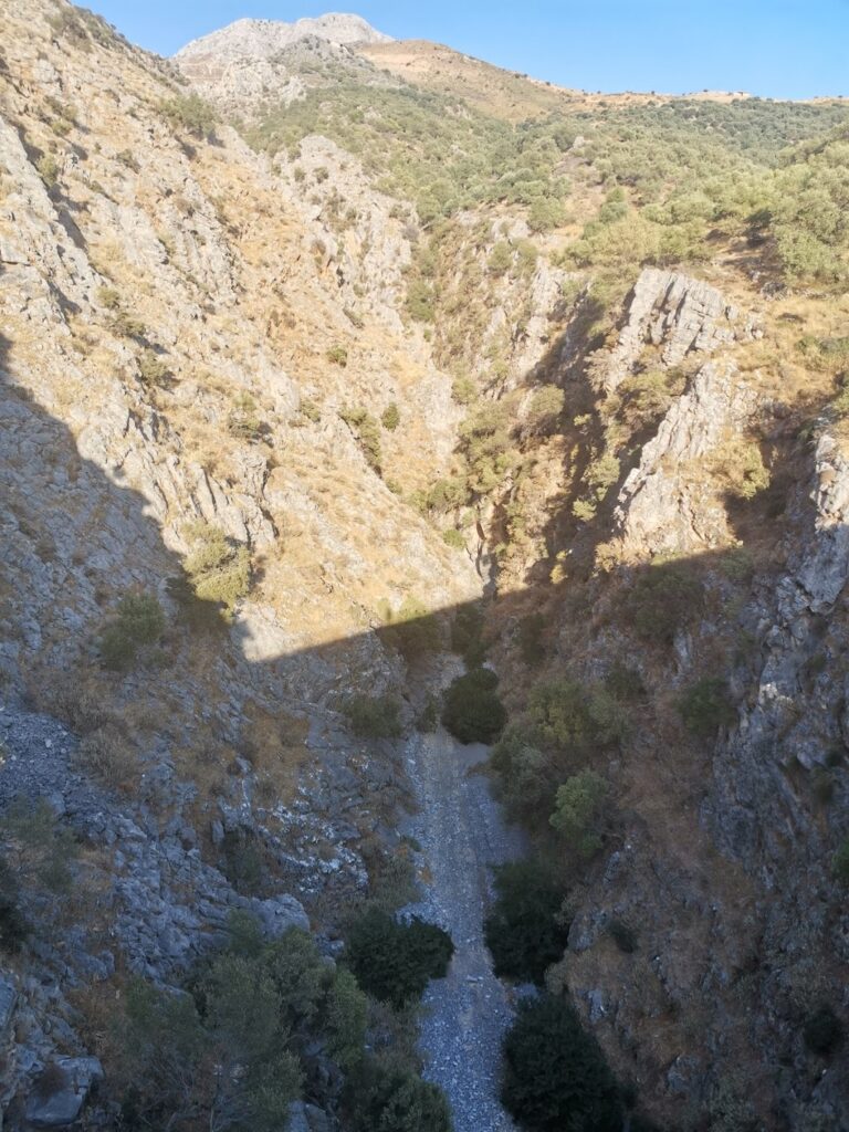
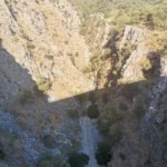
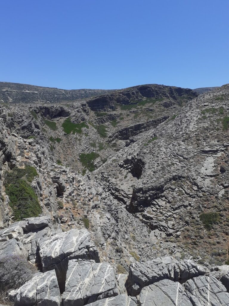
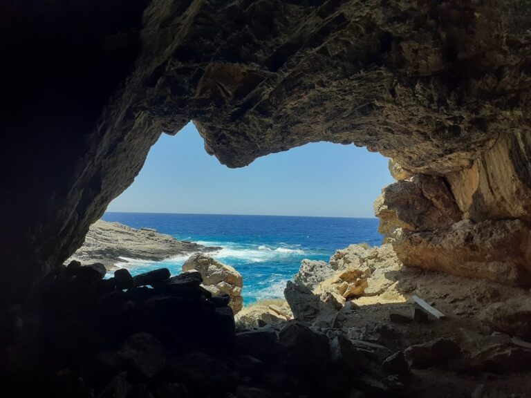
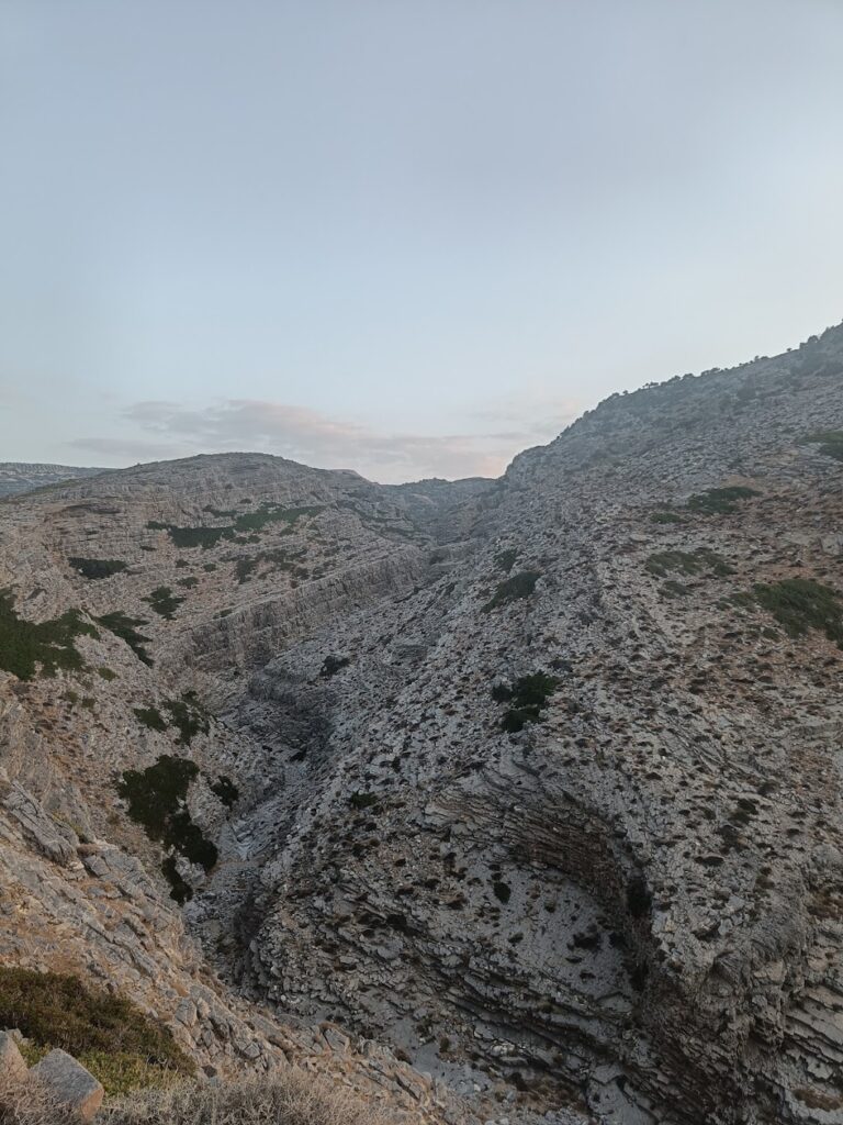
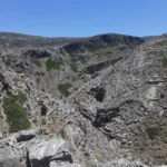
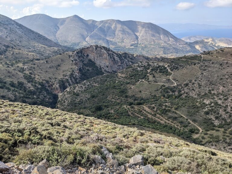
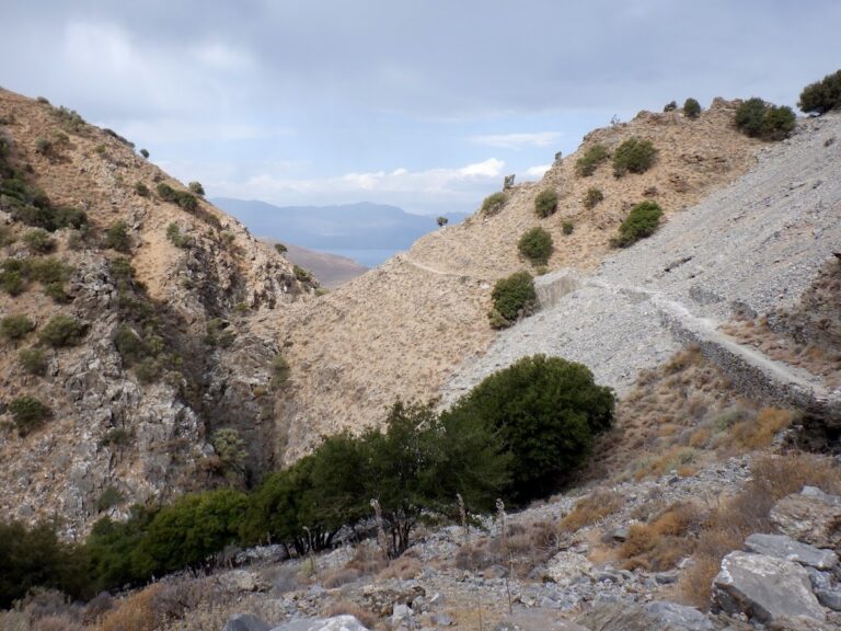
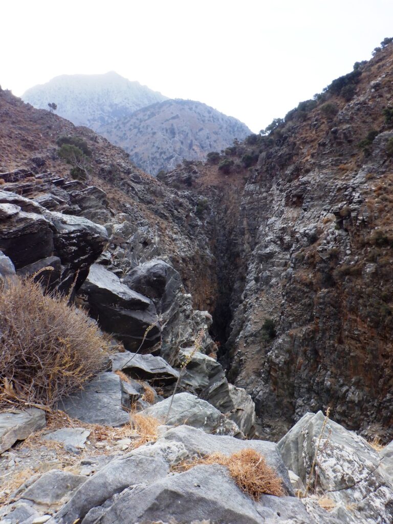
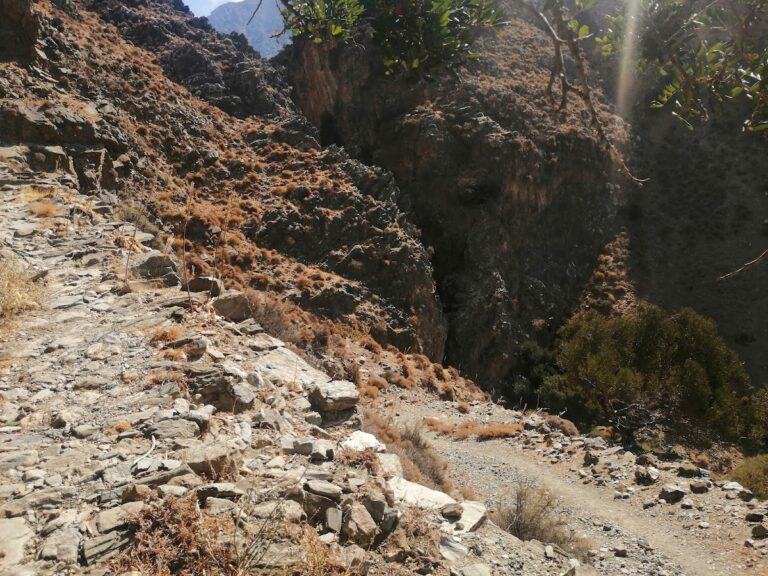
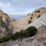
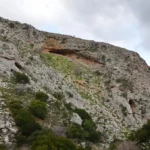
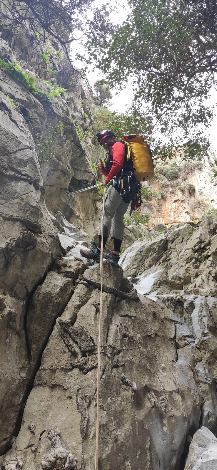
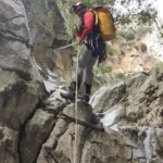
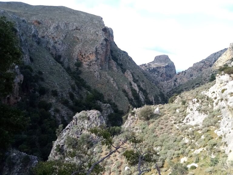
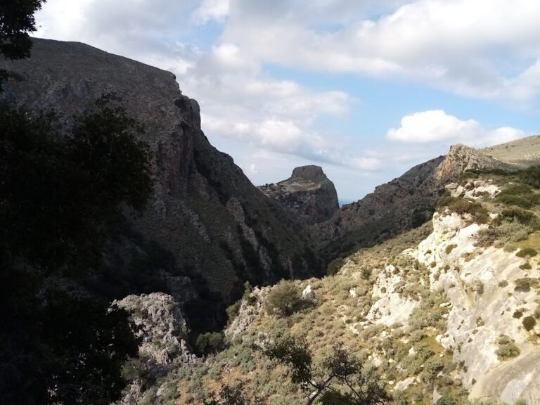
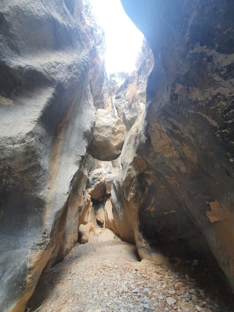
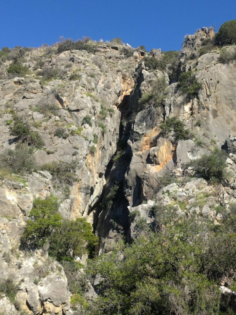
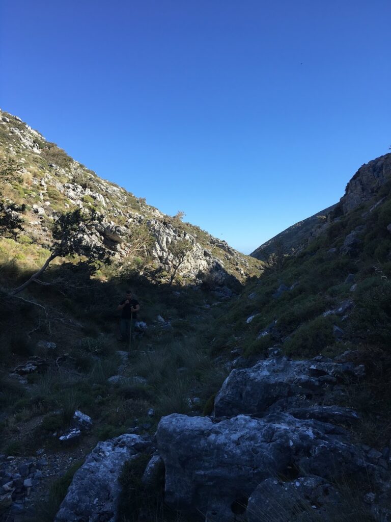
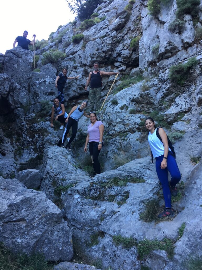
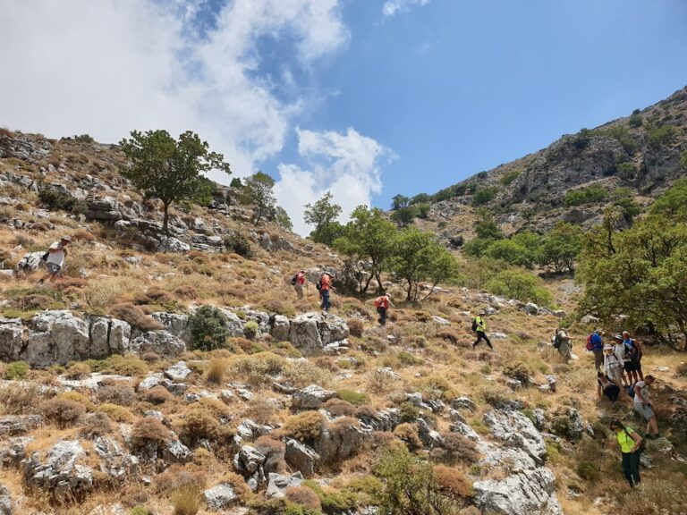
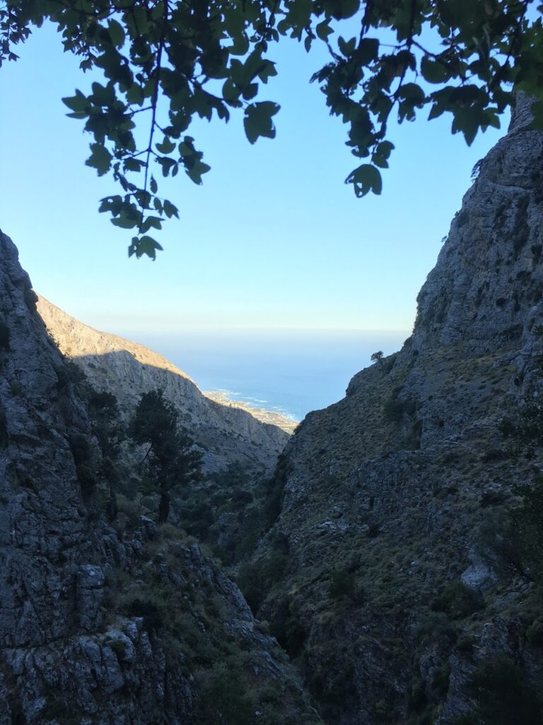
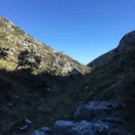
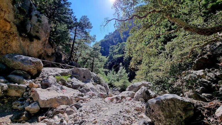
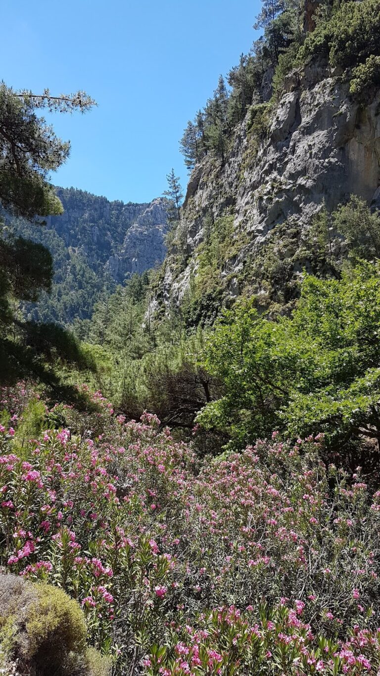
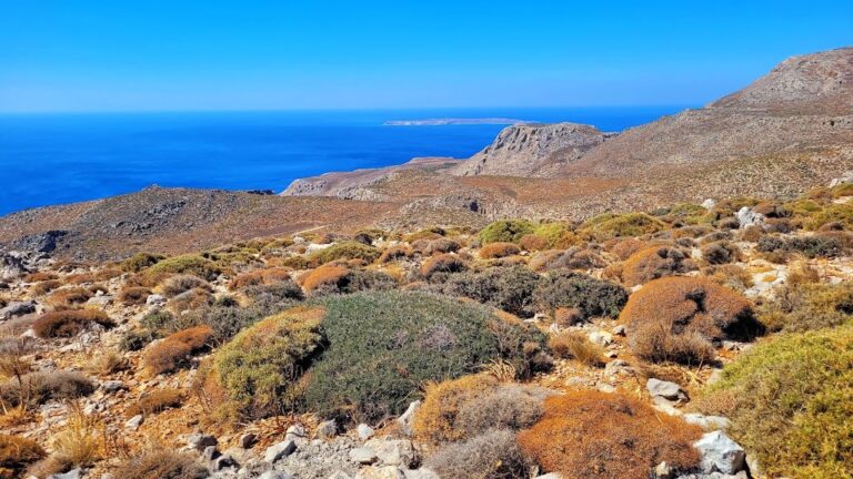
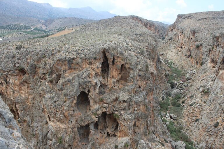
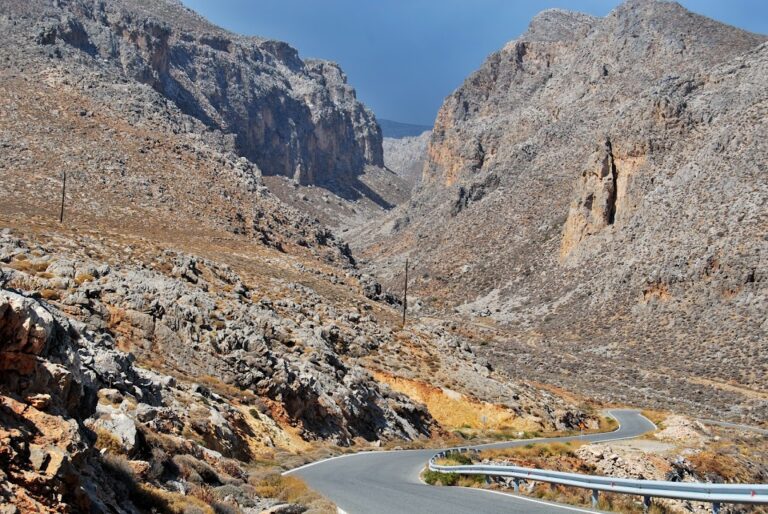
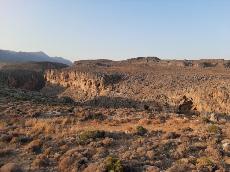
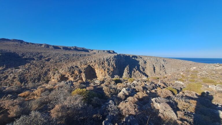
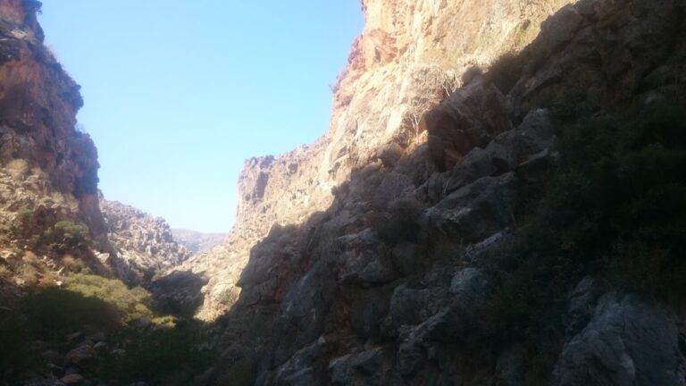
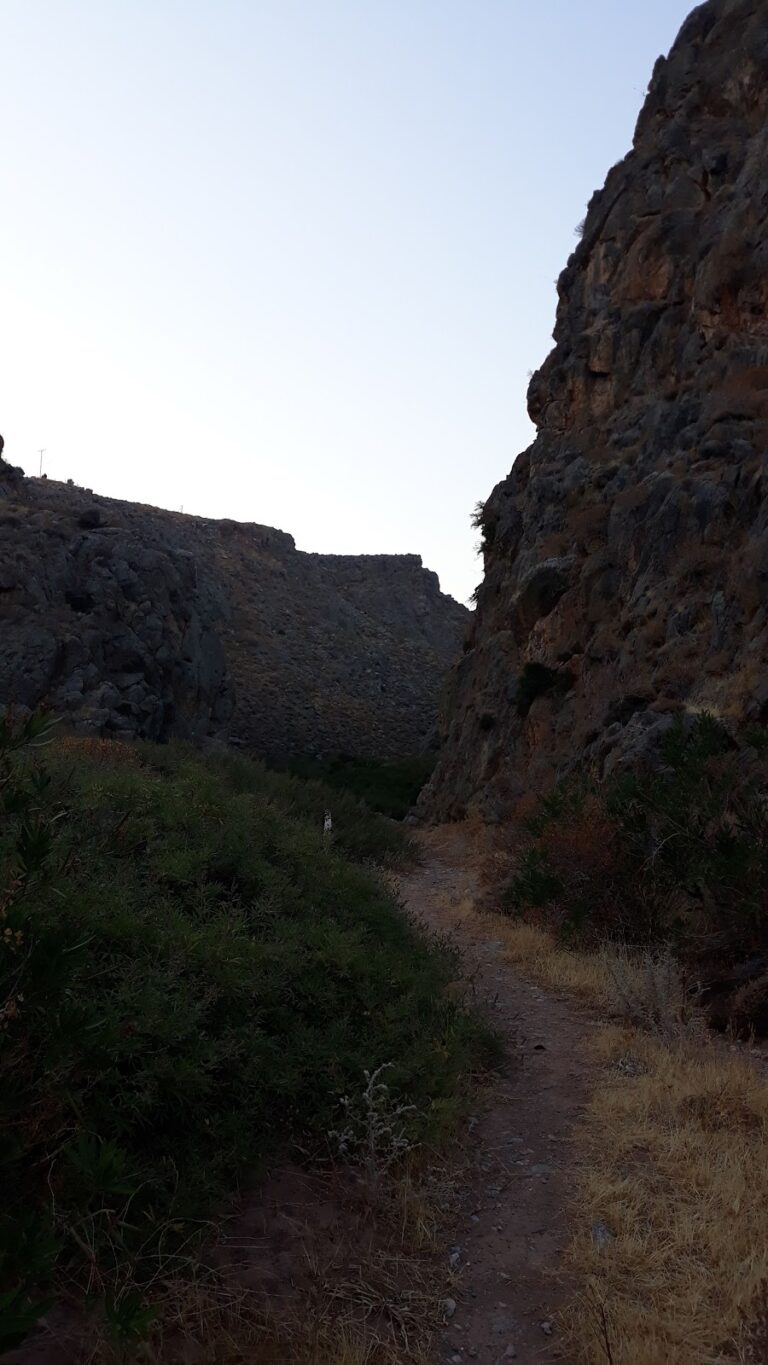
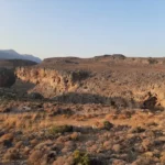
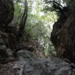
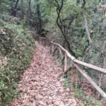
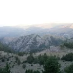
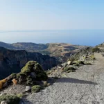
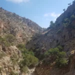
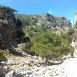
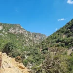
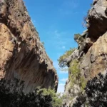
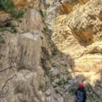
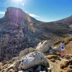
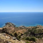
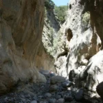
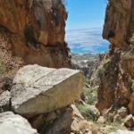
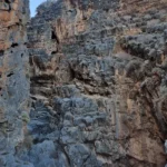
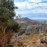
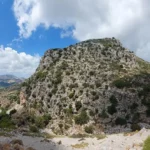
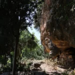
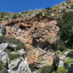
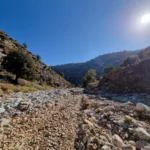
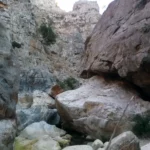
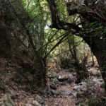
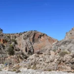
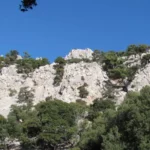
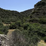
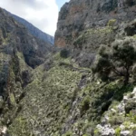
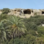
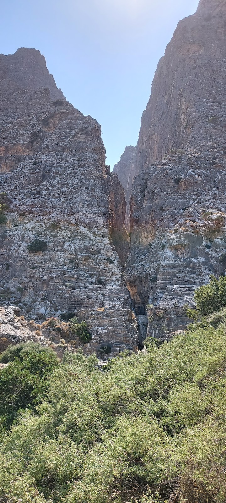
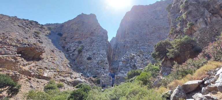
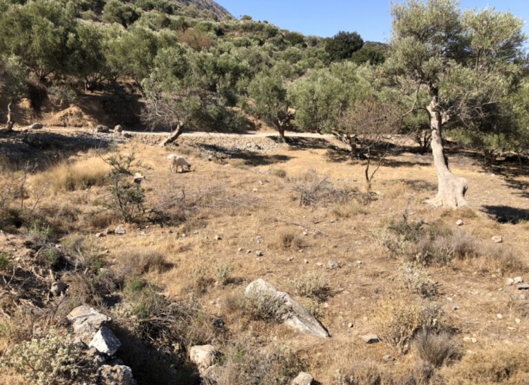
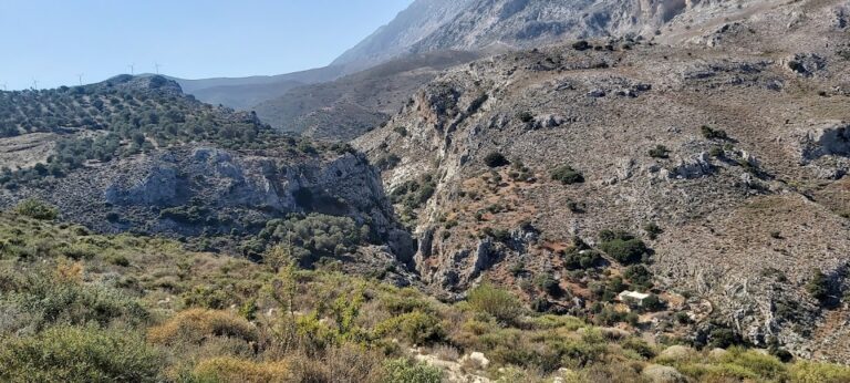
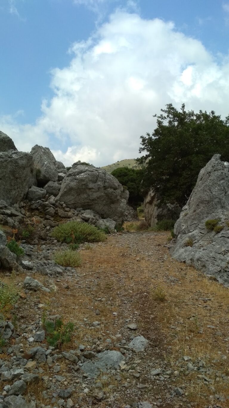
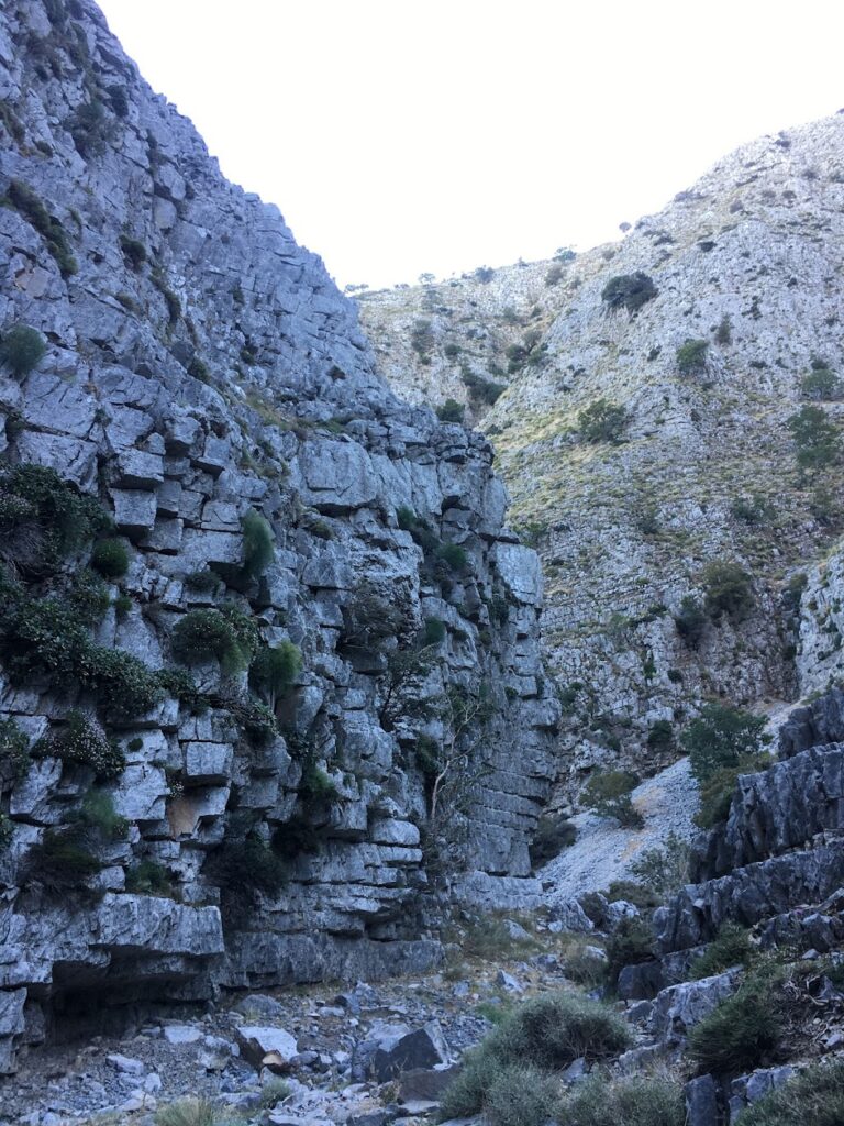
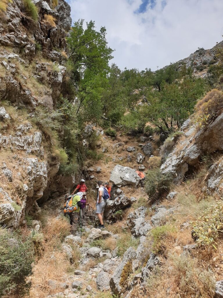
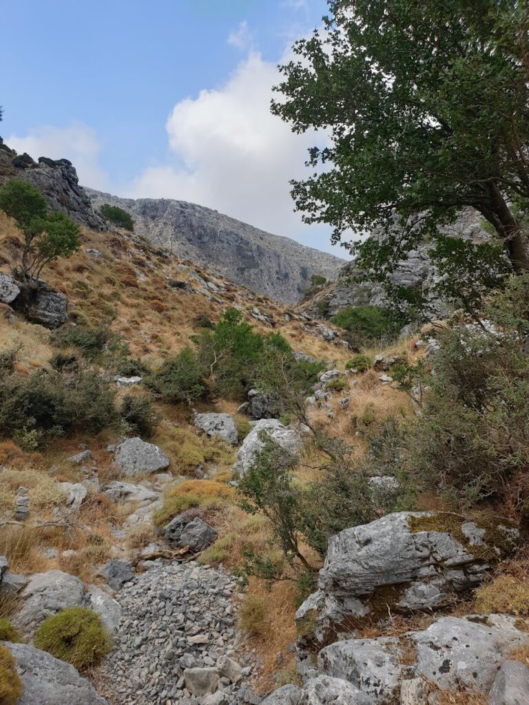
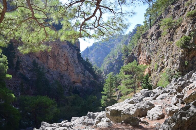
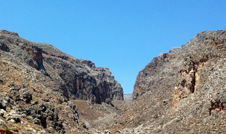
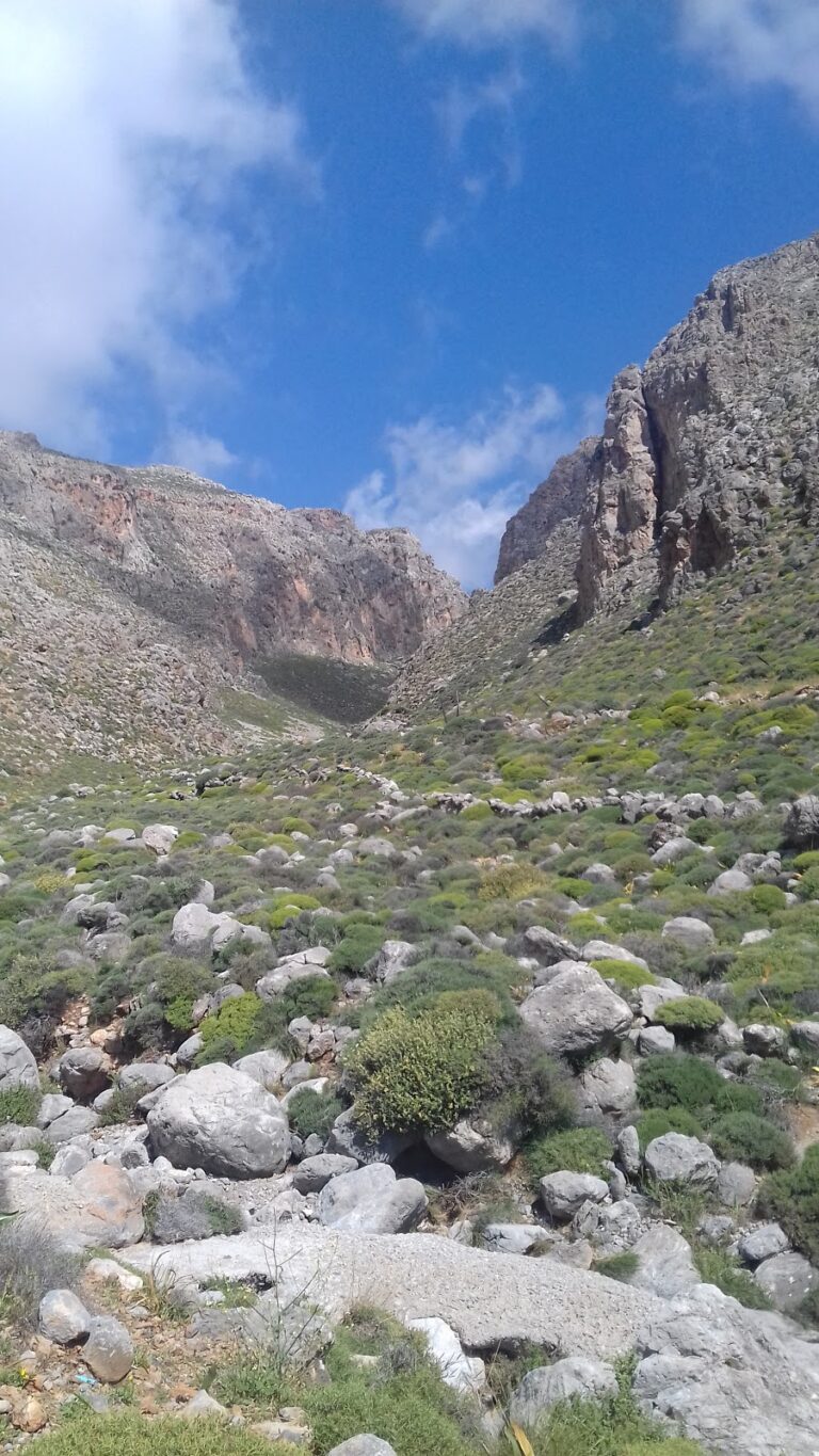
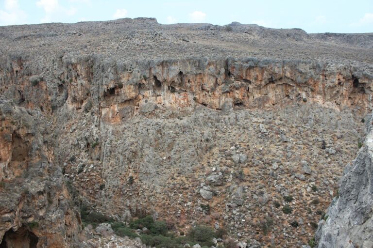
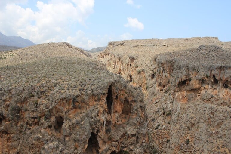
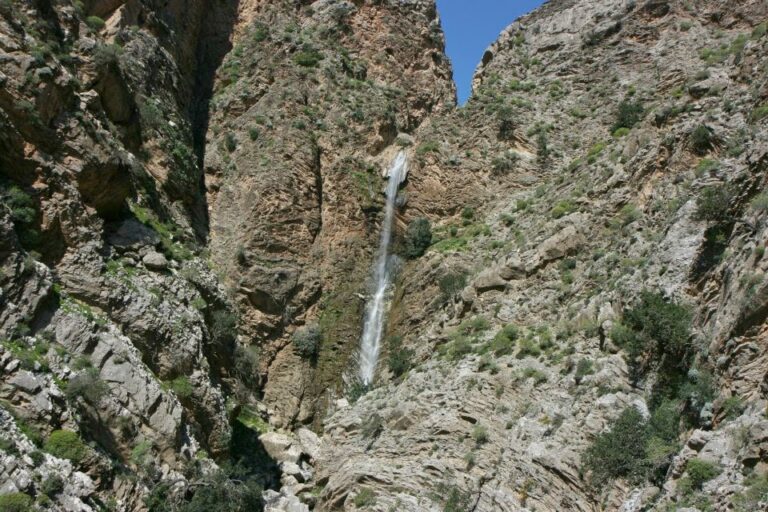
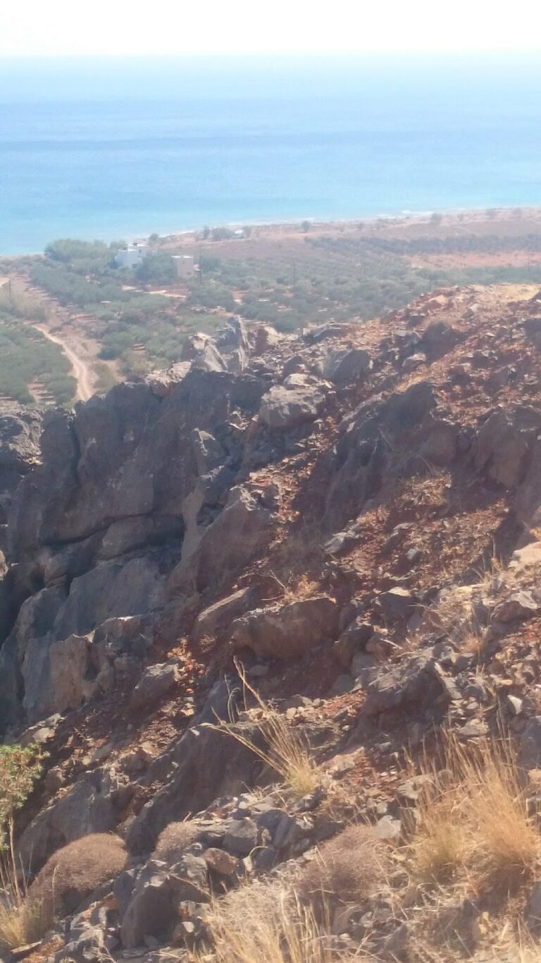
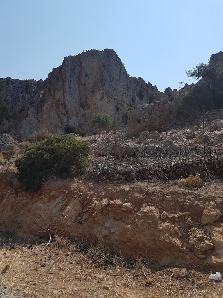
The Achendrias gorge, situated approximately 50km south of Heraklion, concludes at the Maridaki beach. It traverses the barren landscape of the Asterousia Range, marked by stark mountains, jagged rocks, and coarse grazing lands. The gorge is quite accessible for the most part, except for the final stretch, which can only be navigated by seasoned canyoners. This is where high waterfalls form due to the Asterousia fault line.

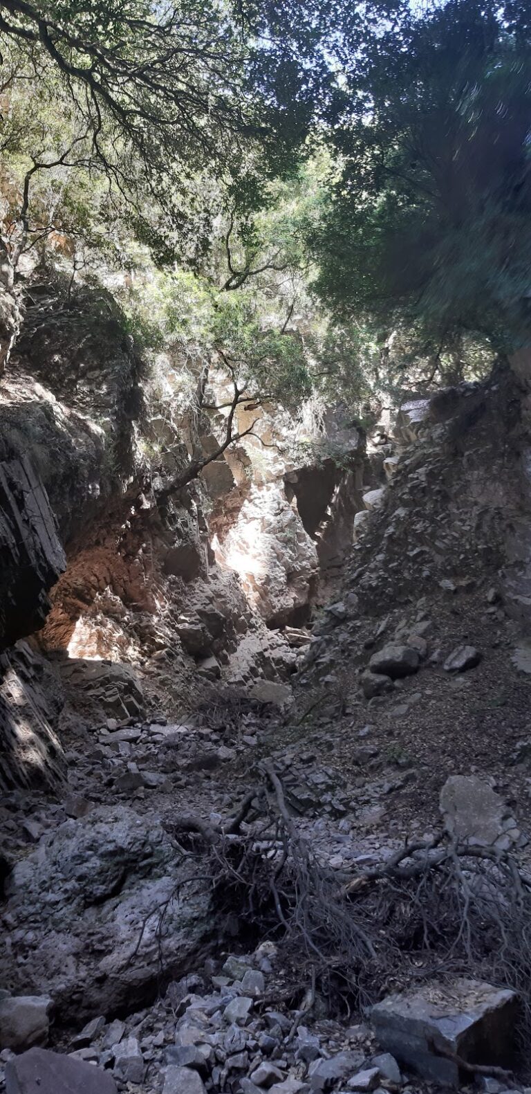
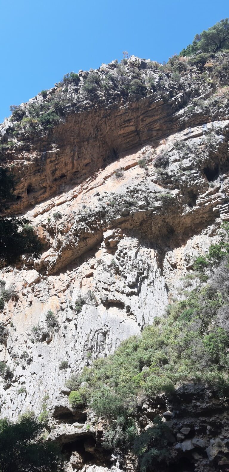
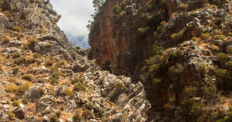
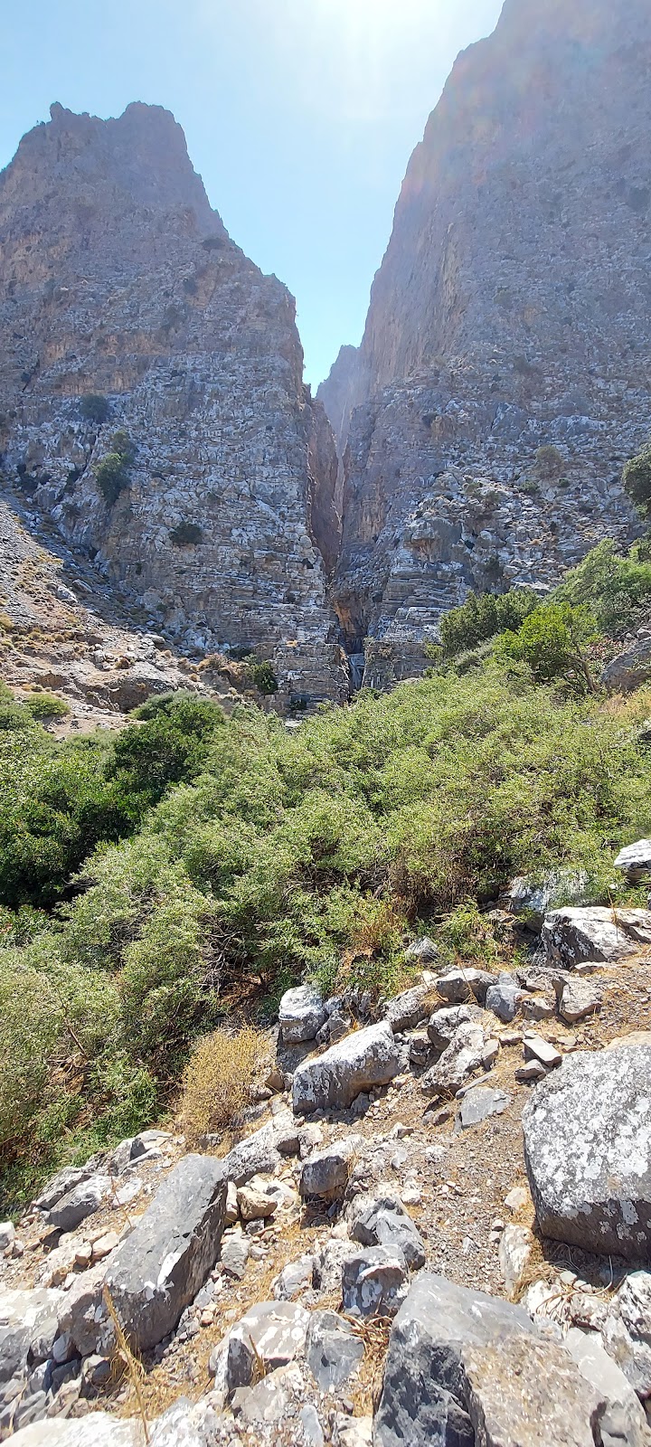
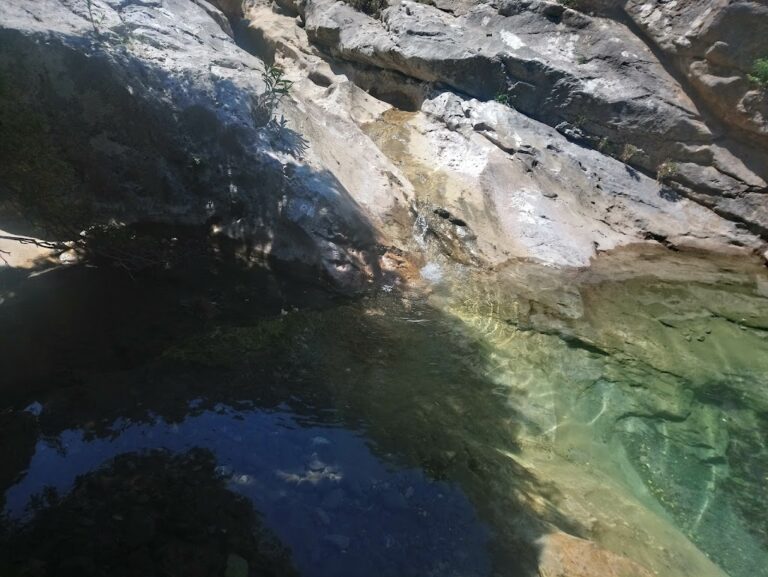
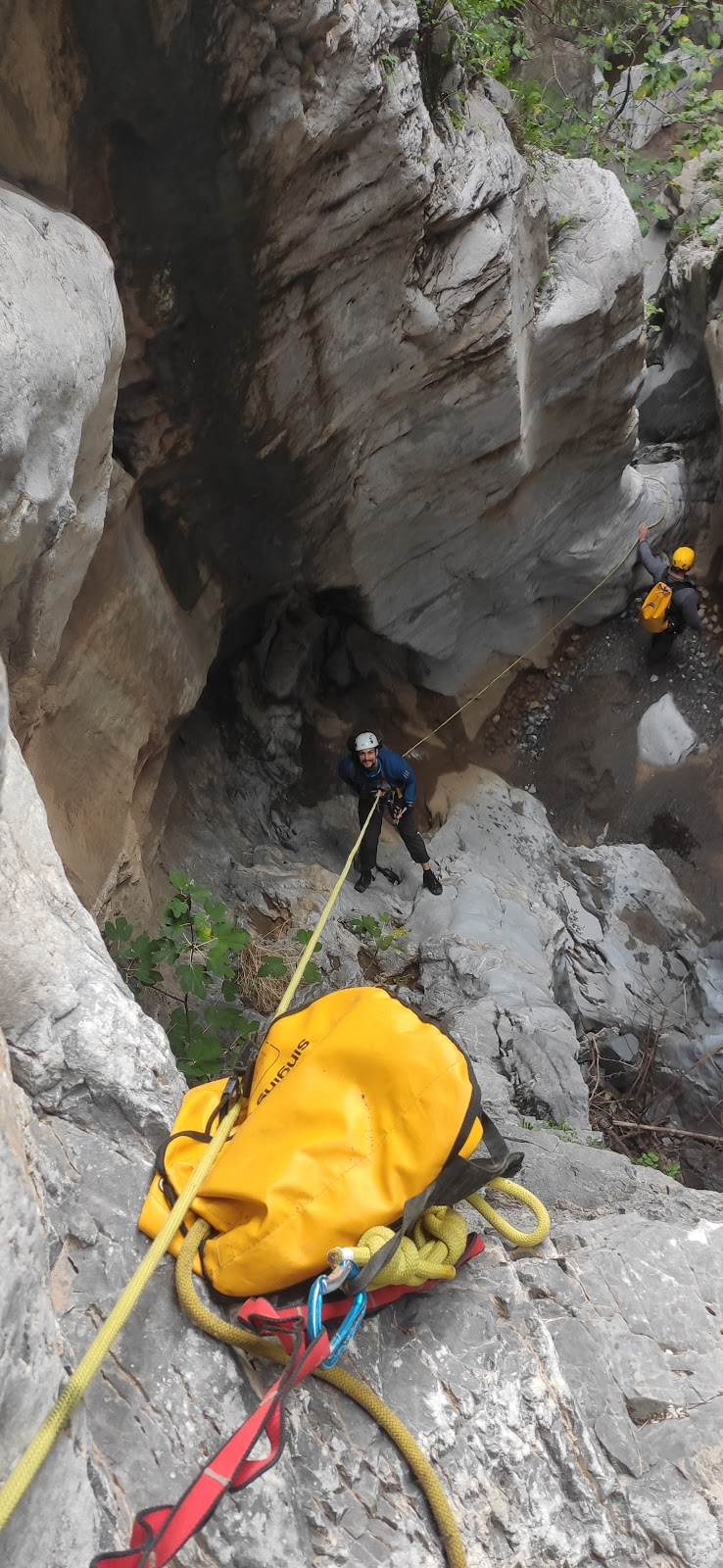
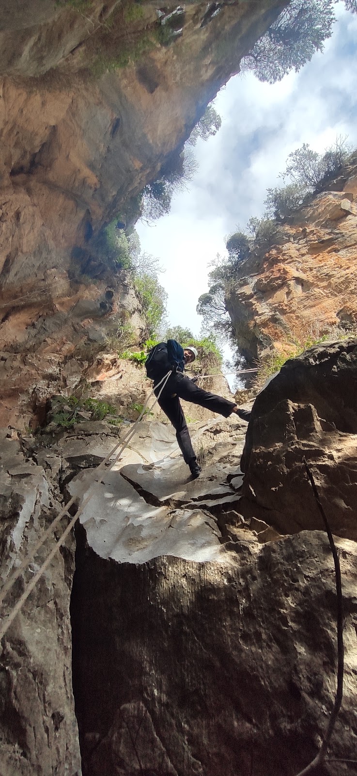
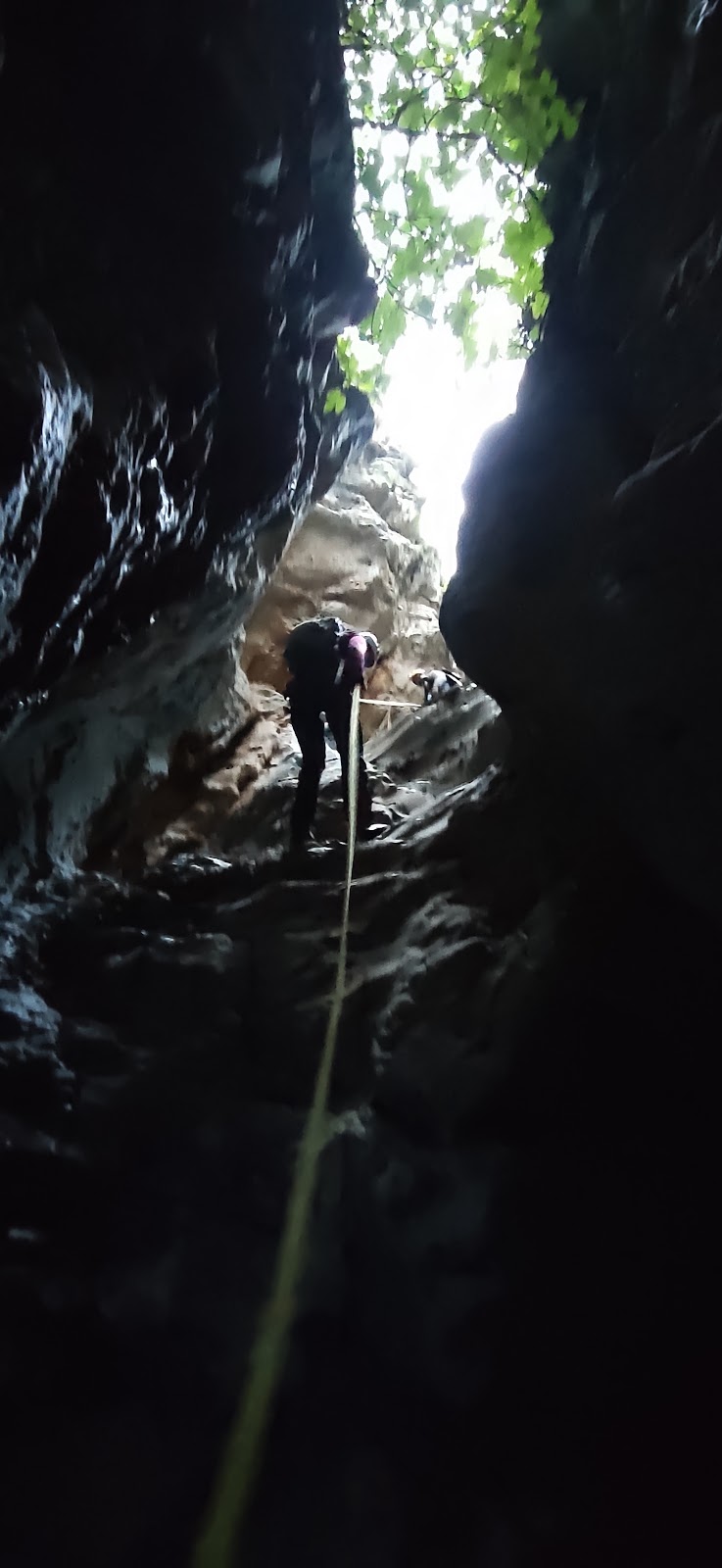
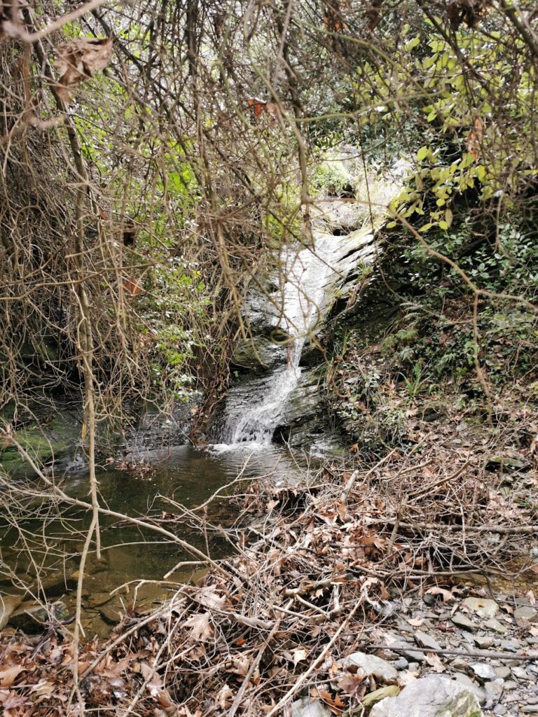
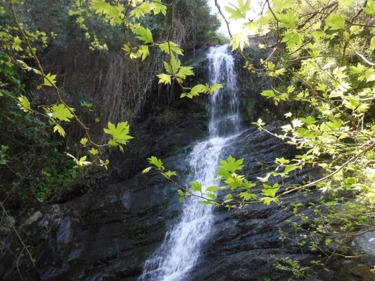
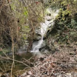
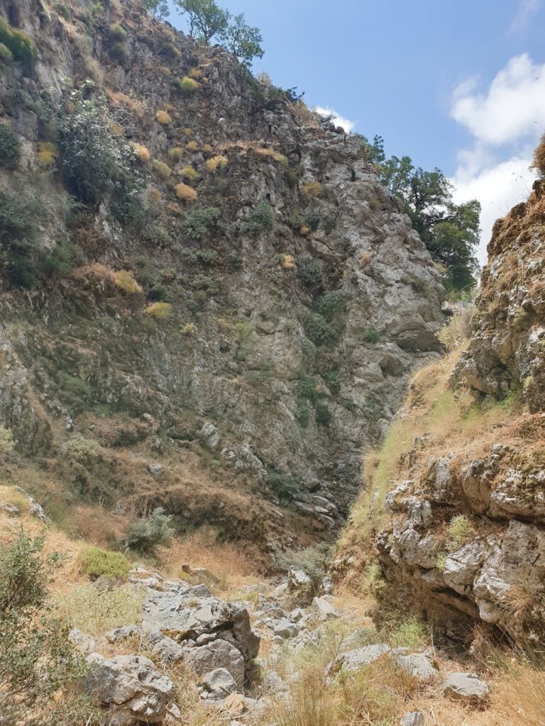
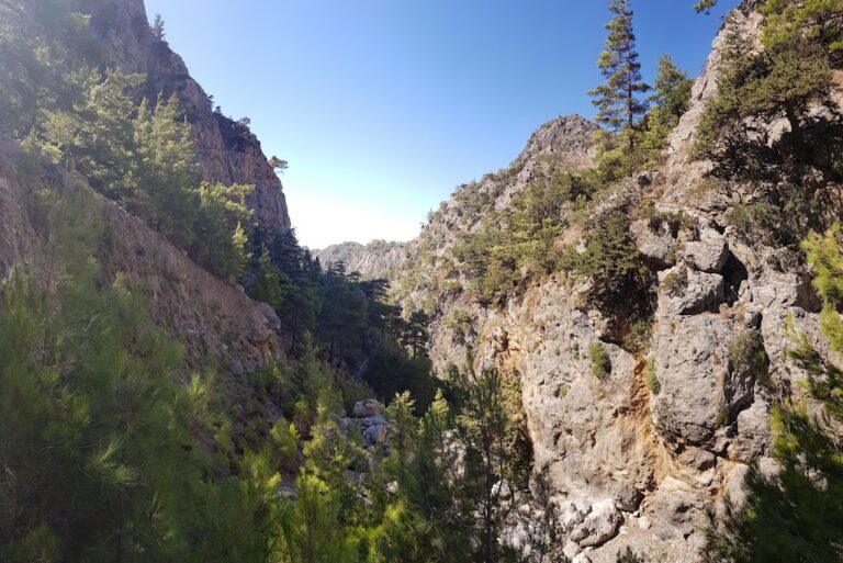
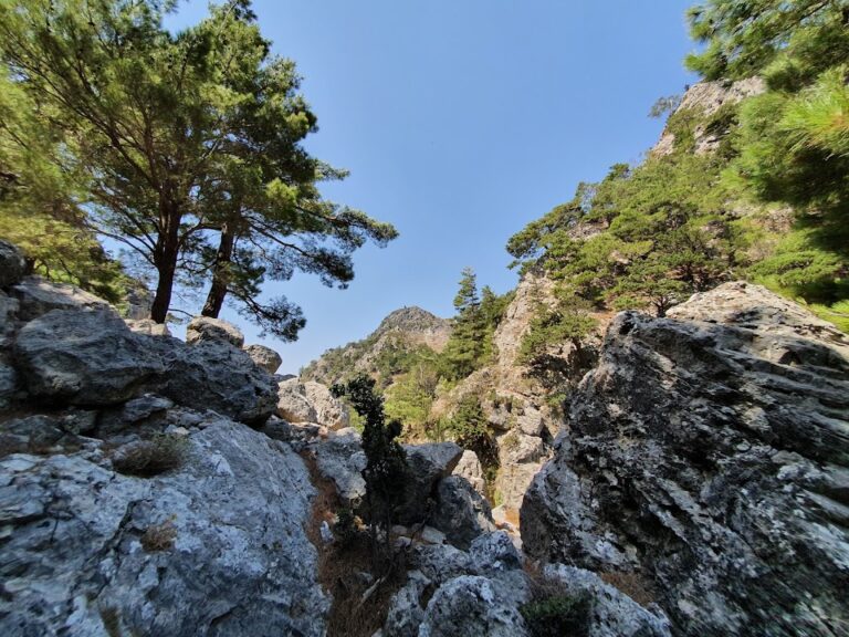
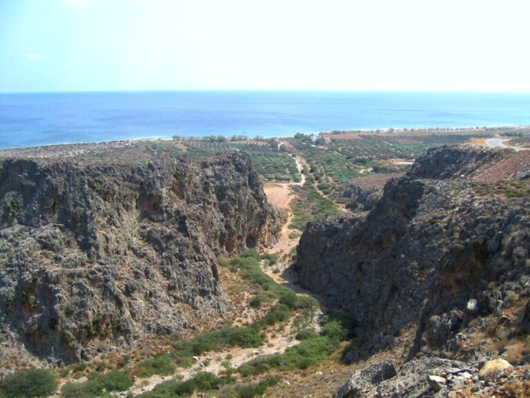
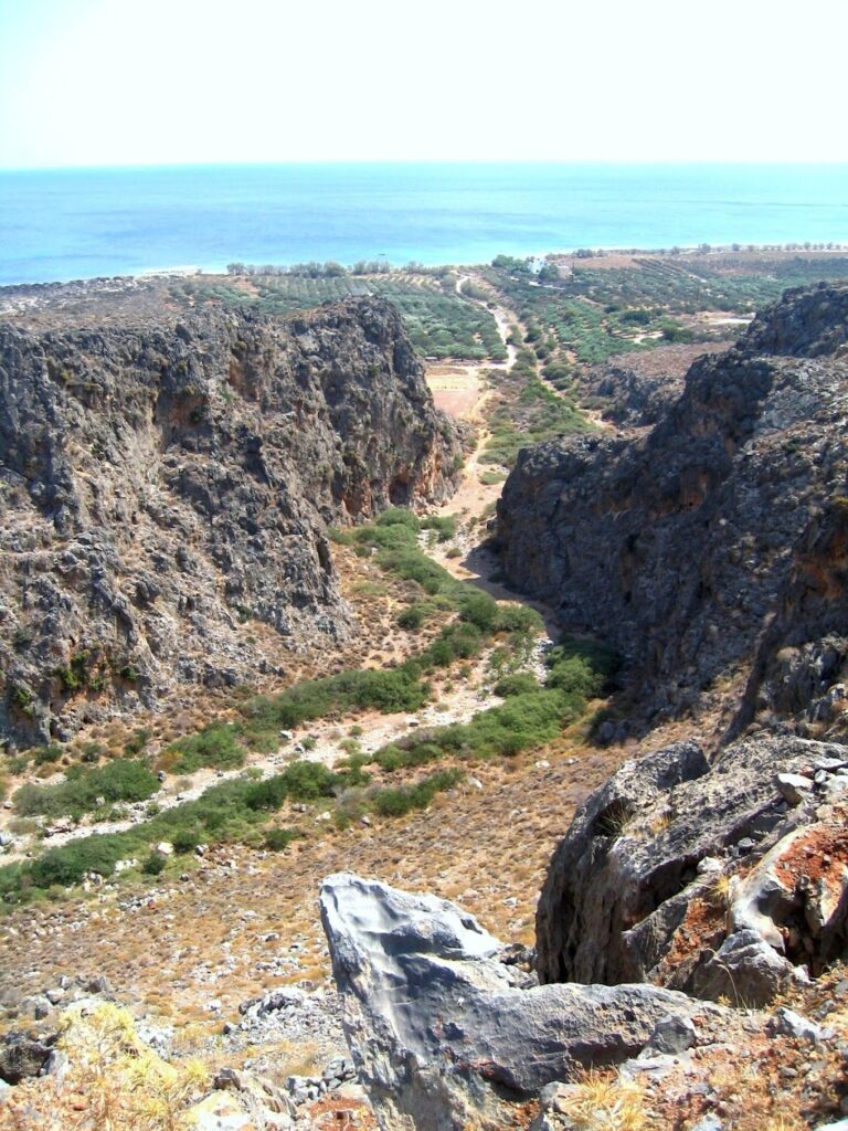
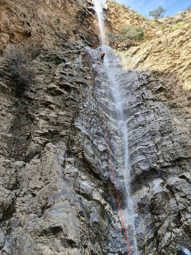
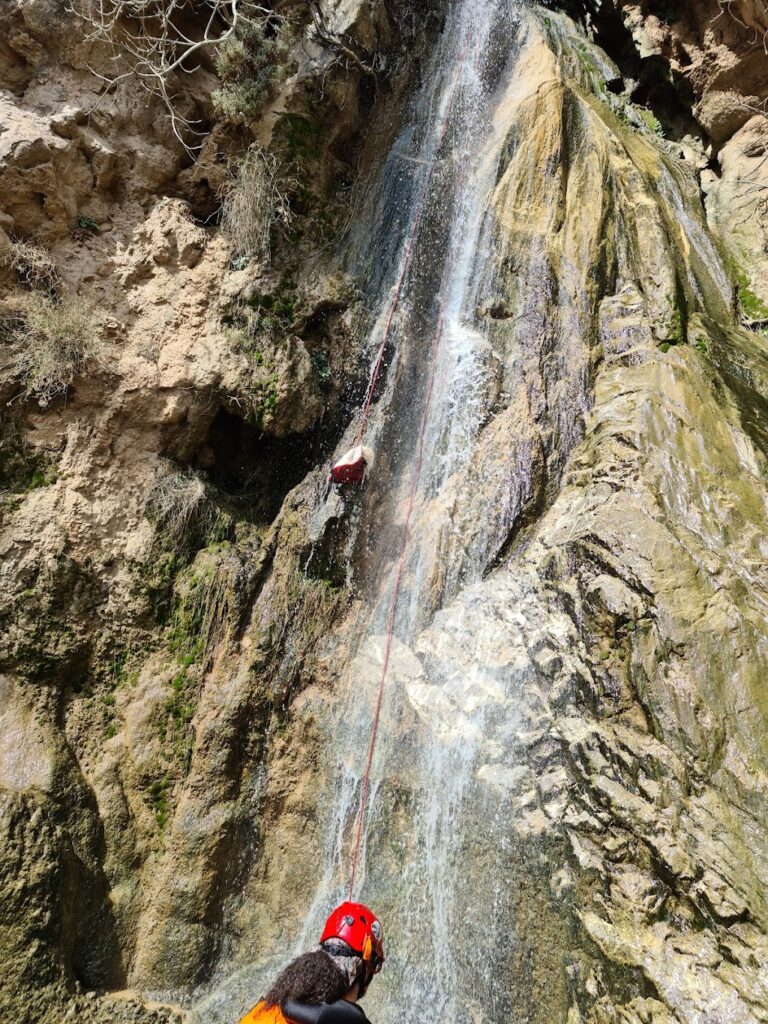
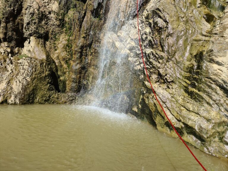
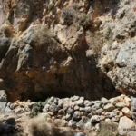
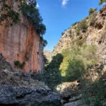
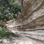
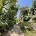
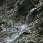
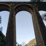
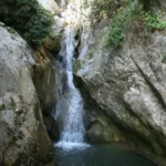
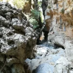
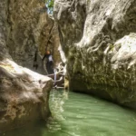
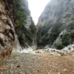
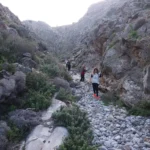
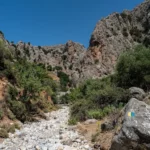
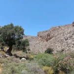
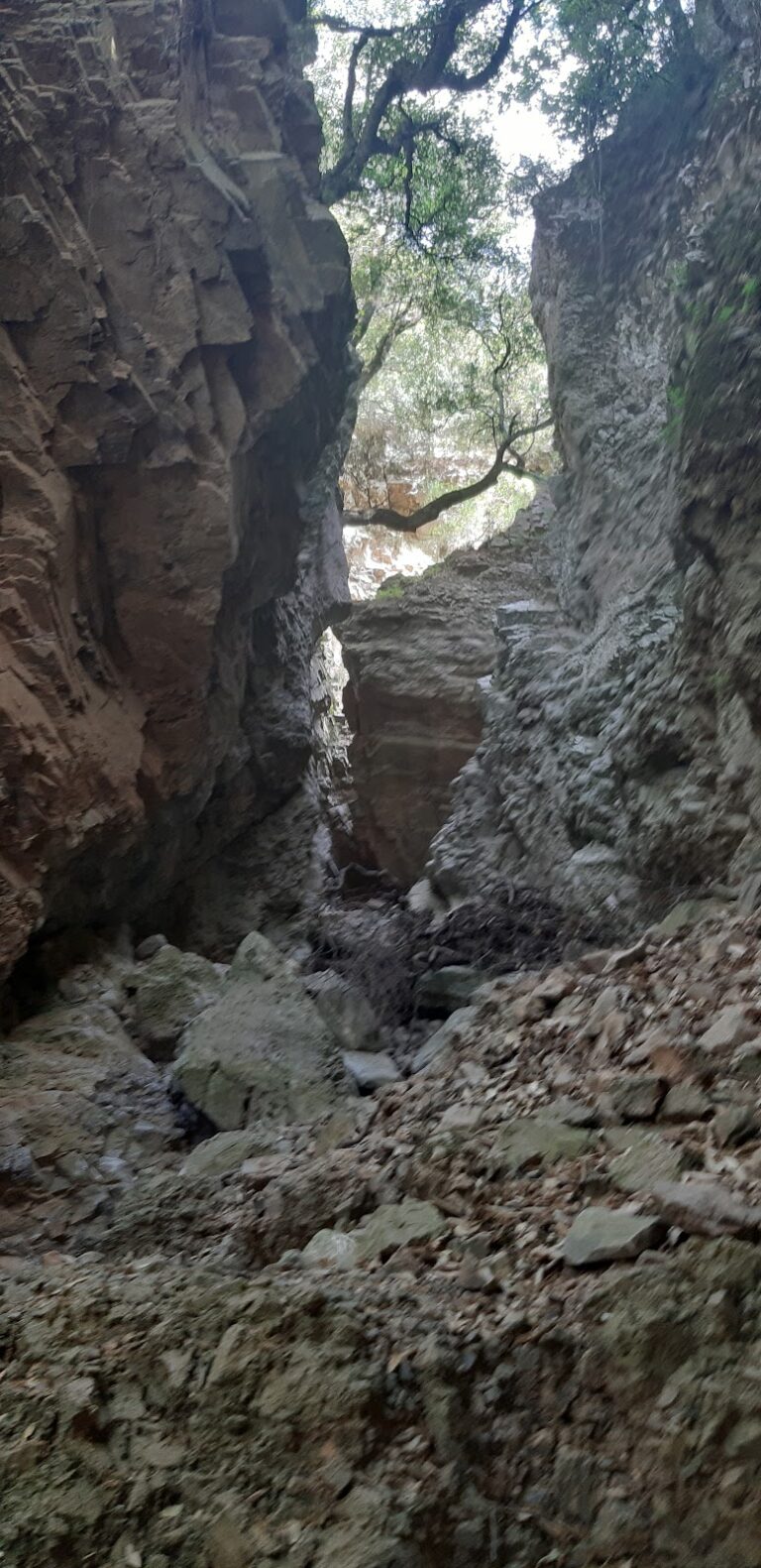
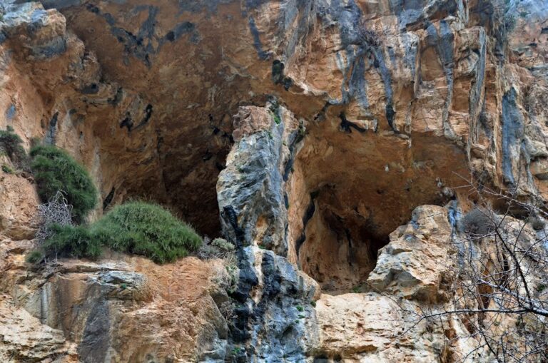
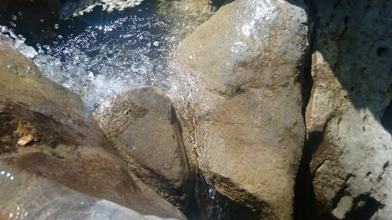
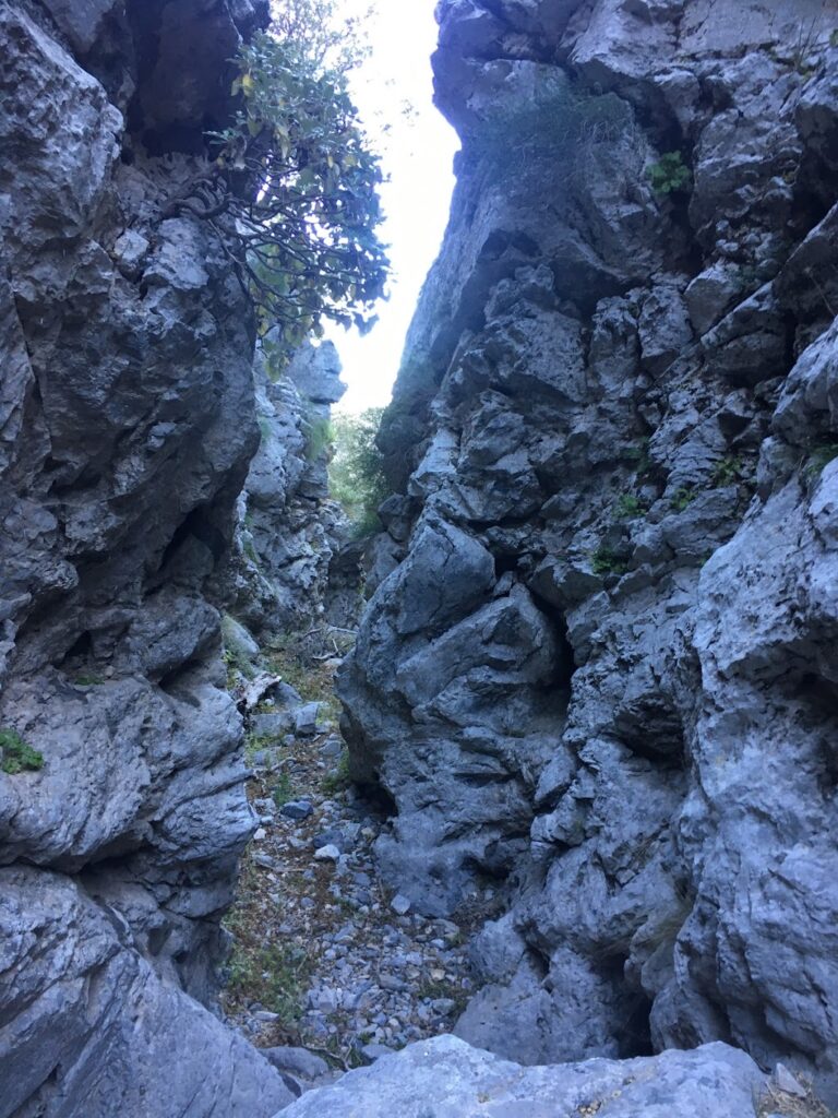
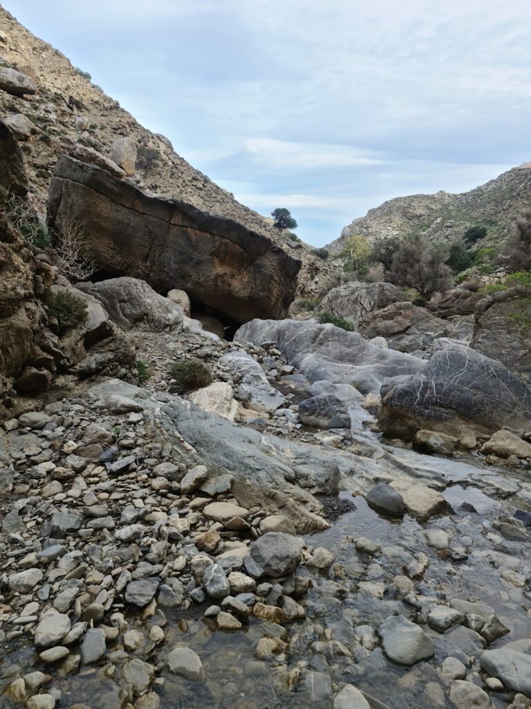
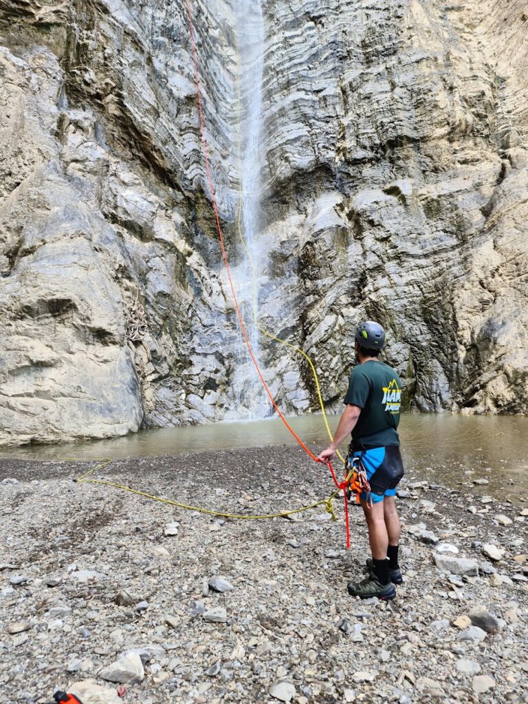
The journey begins gently from the plain of the Achendrias village, where the gorge collects water. It initially passes through the Farangouli location, a fairly open ravine. It then moves through the Plakoures position, a striking stony mass with layered limestone, before reaching the sea via the Lihnistis gorge. Just before it reaches the sea, it forms five waterfalls, the tallest of which is 60 meters and named Lihnistis. This part requires canyoning equipment to cross, otherwise, one must turn back and follow the trail in the Ligiofarago.

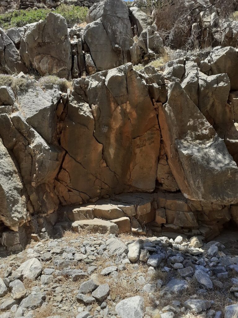
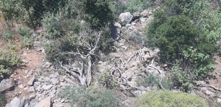
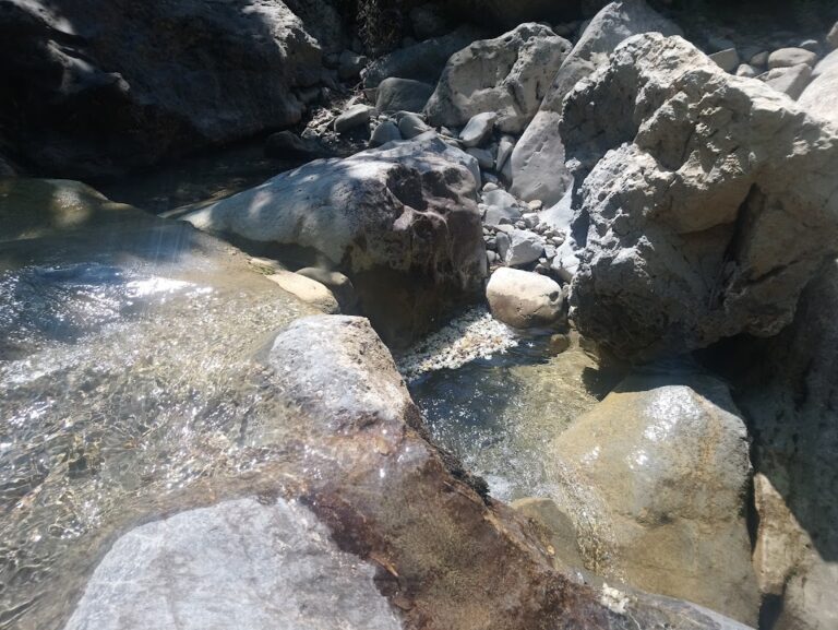
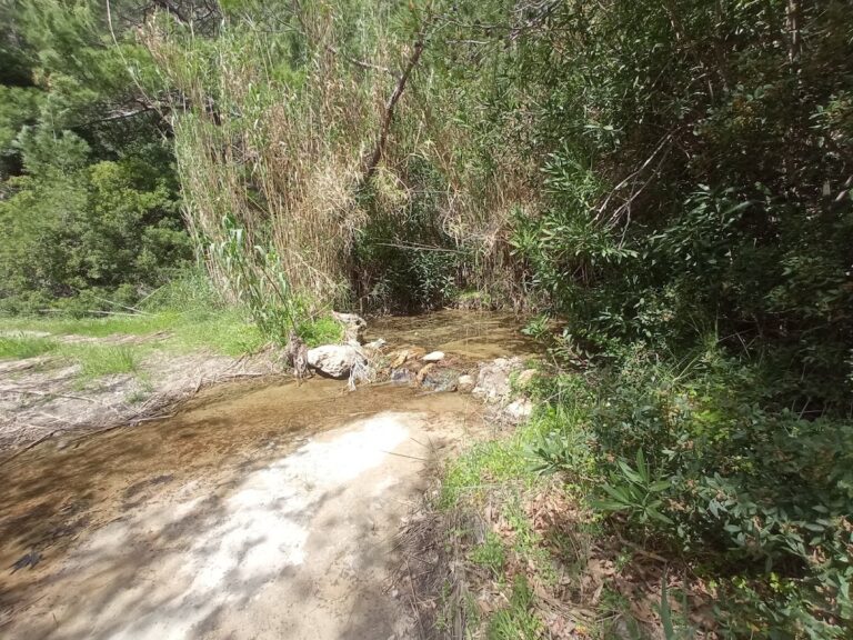
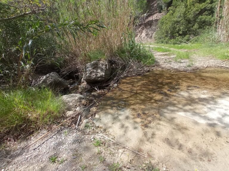
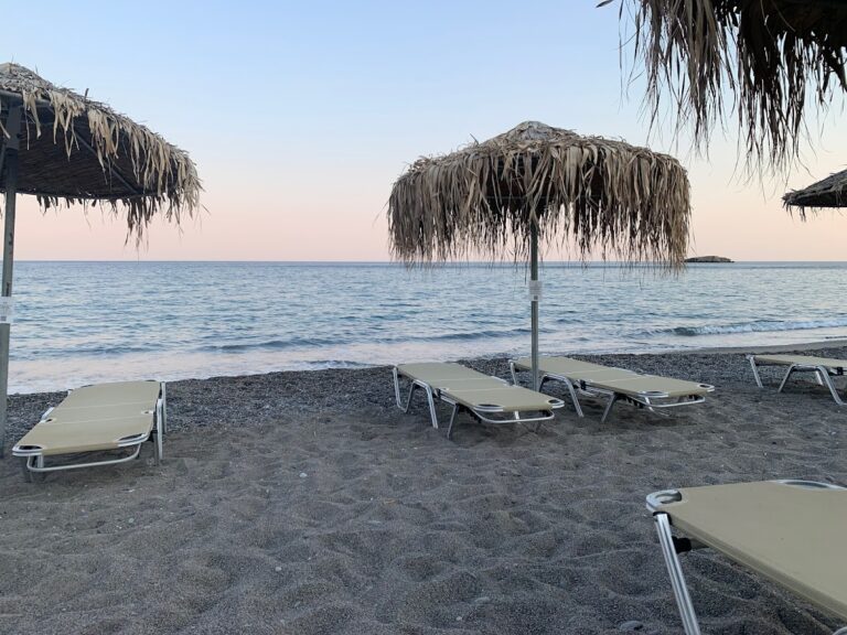
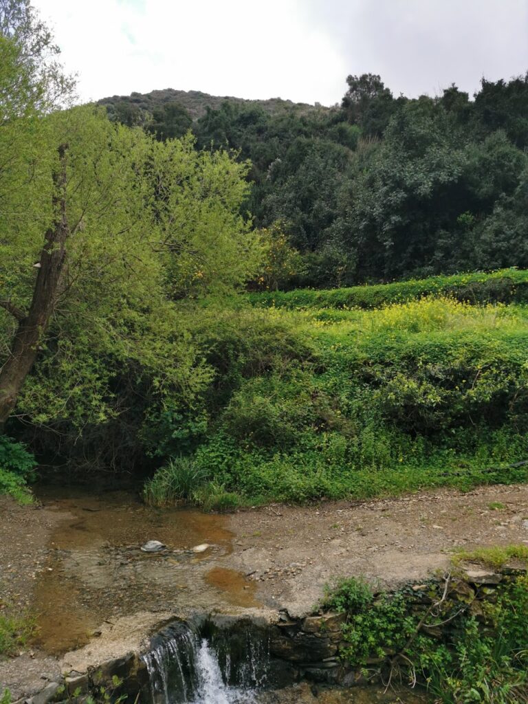
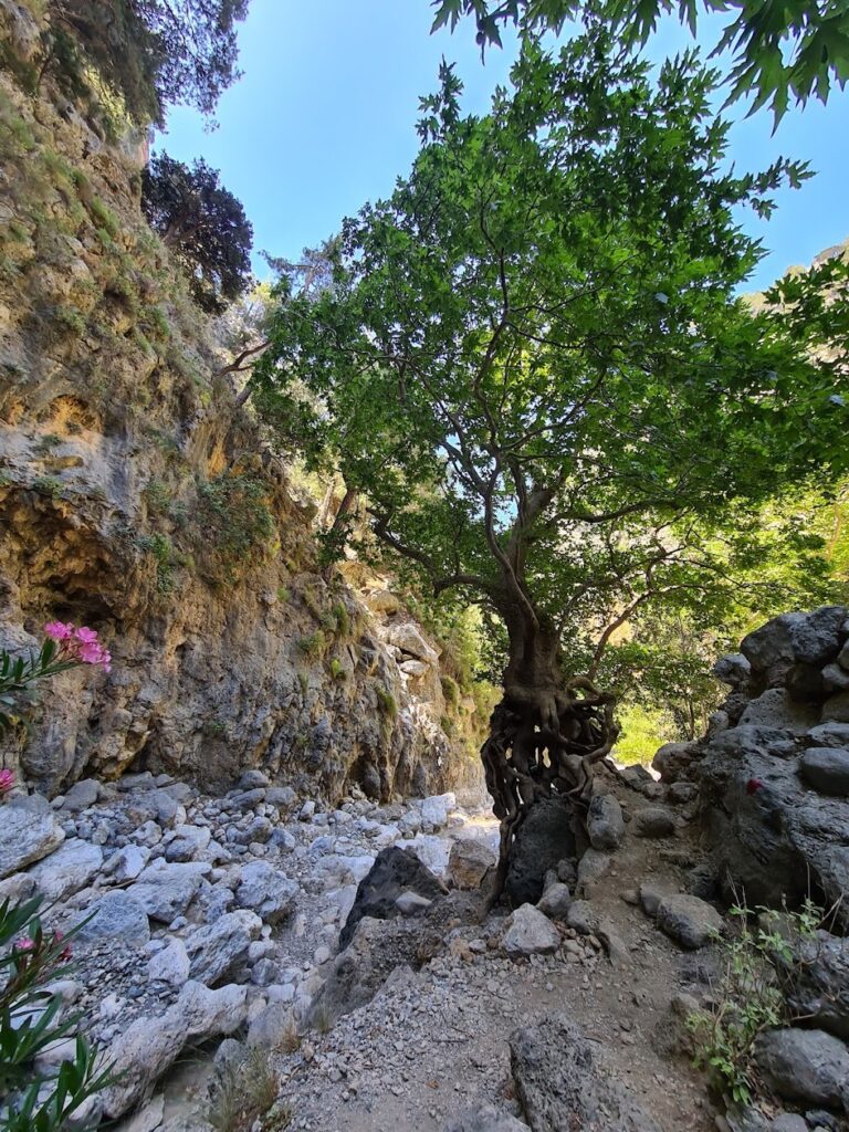
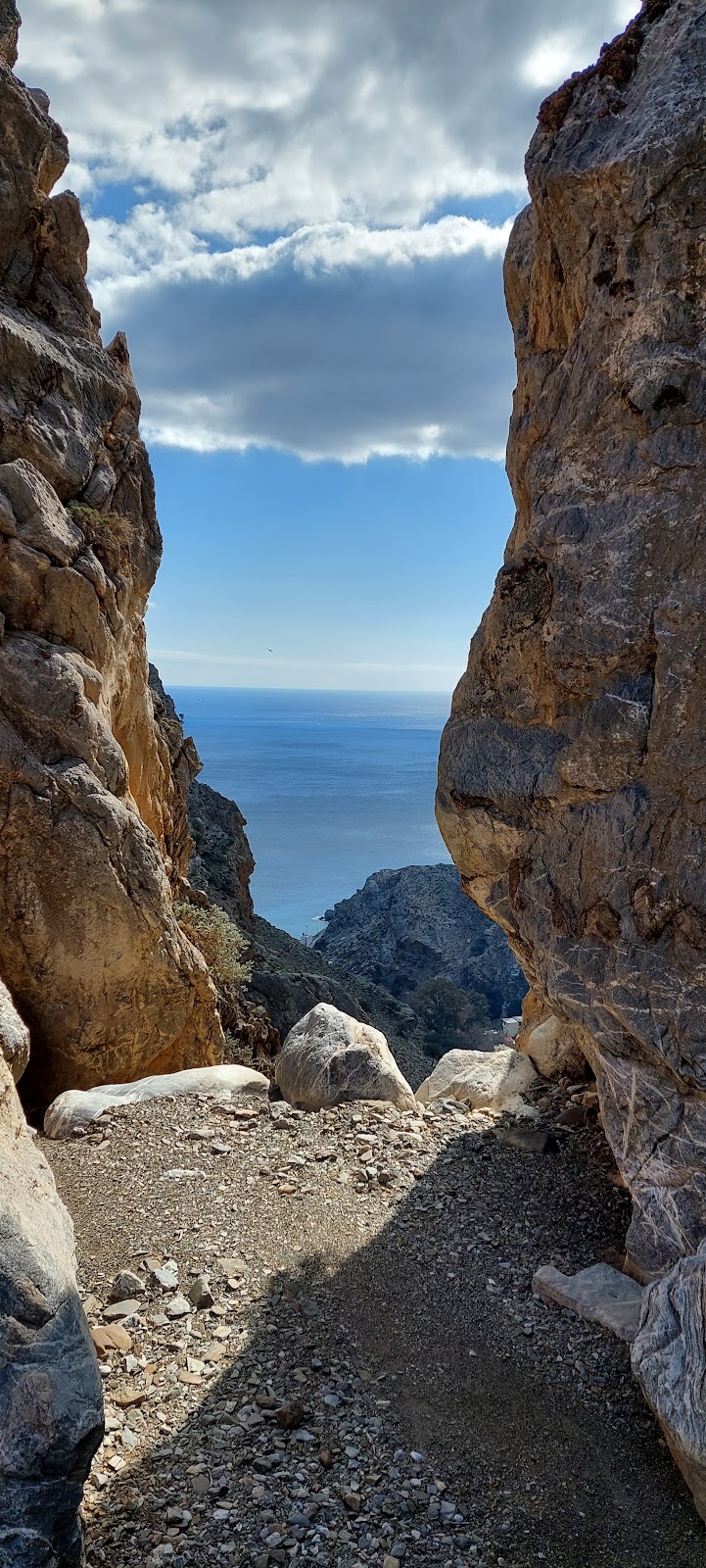
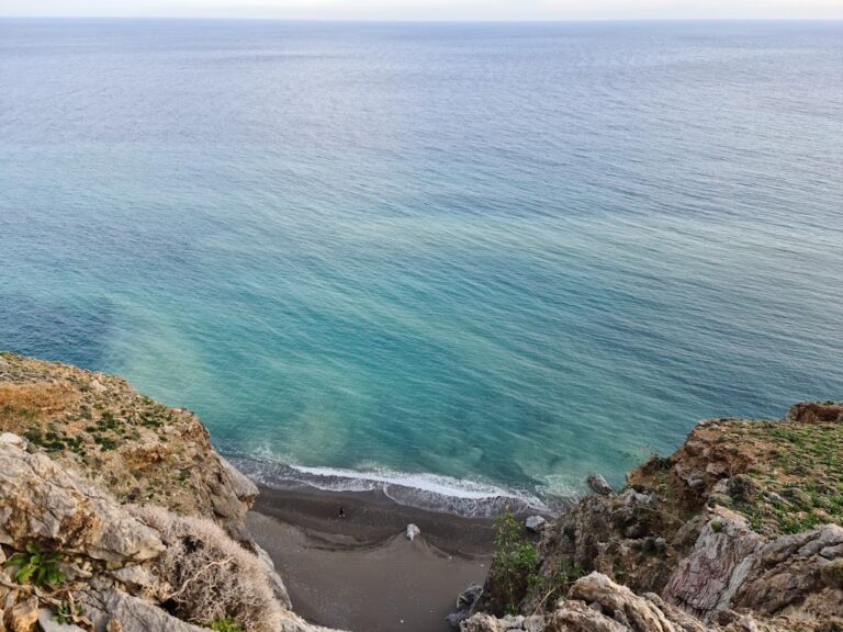
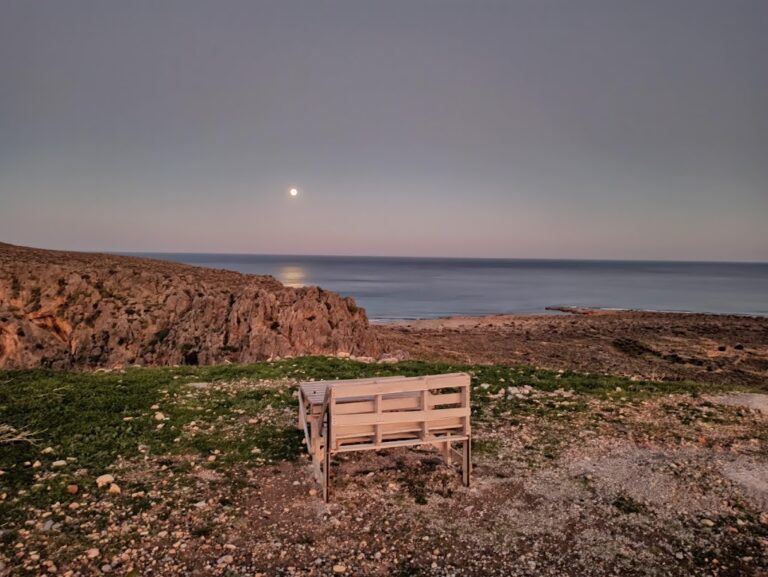
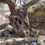
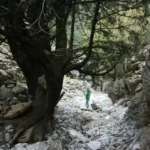
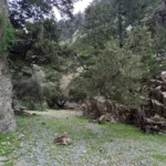
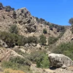
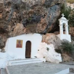
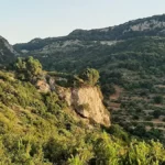
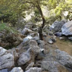
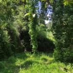
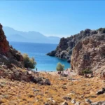
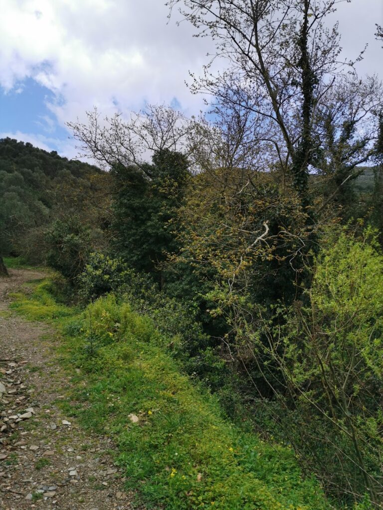
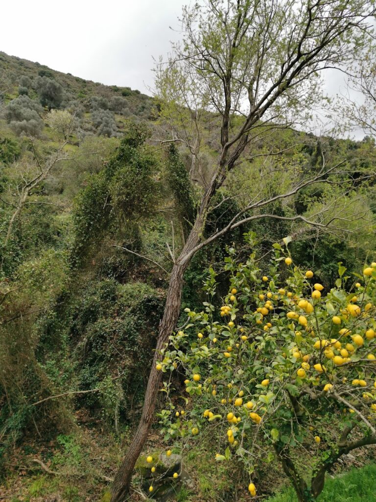
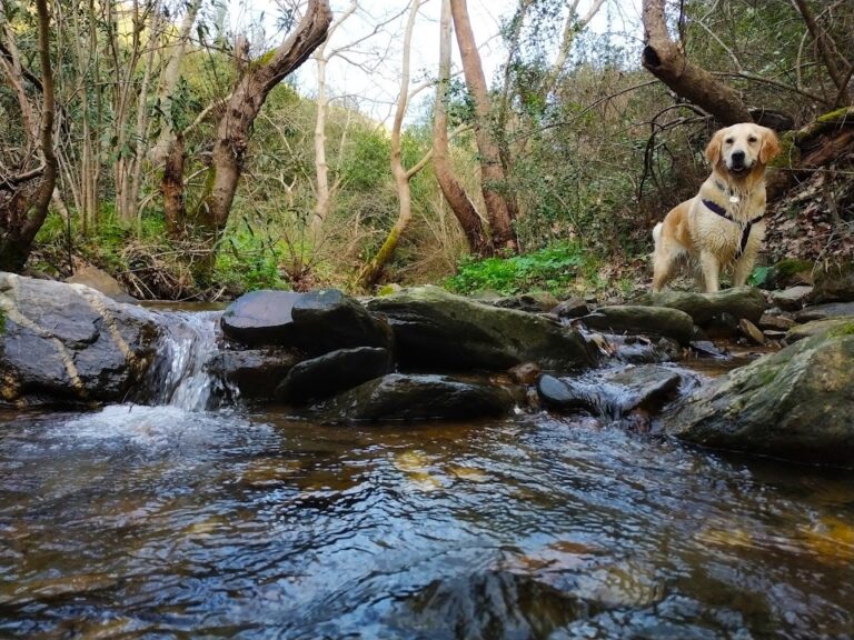
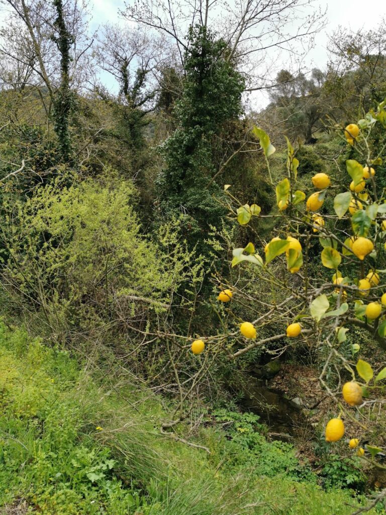
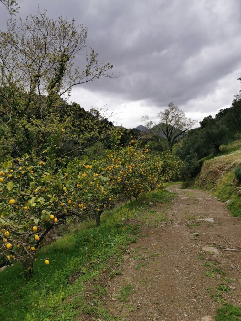
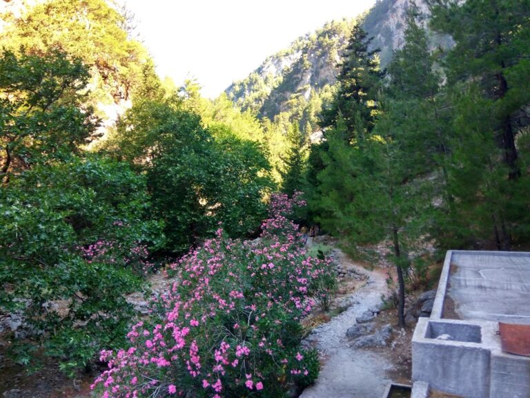
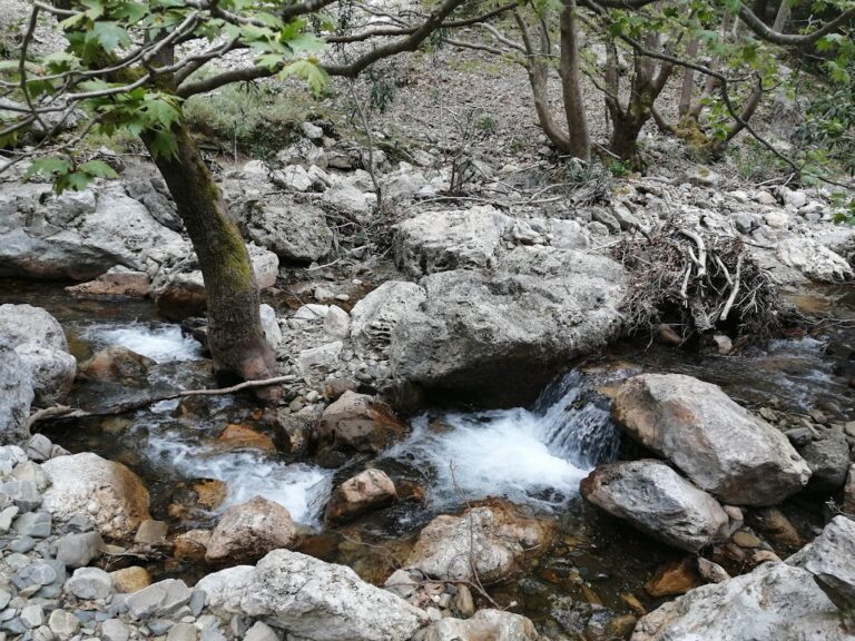
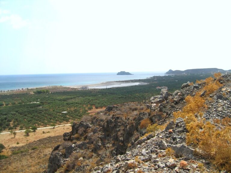
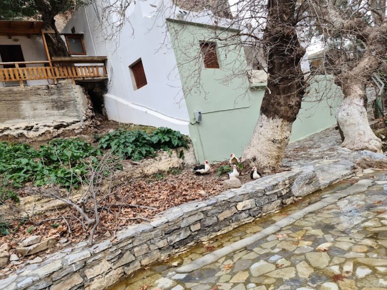
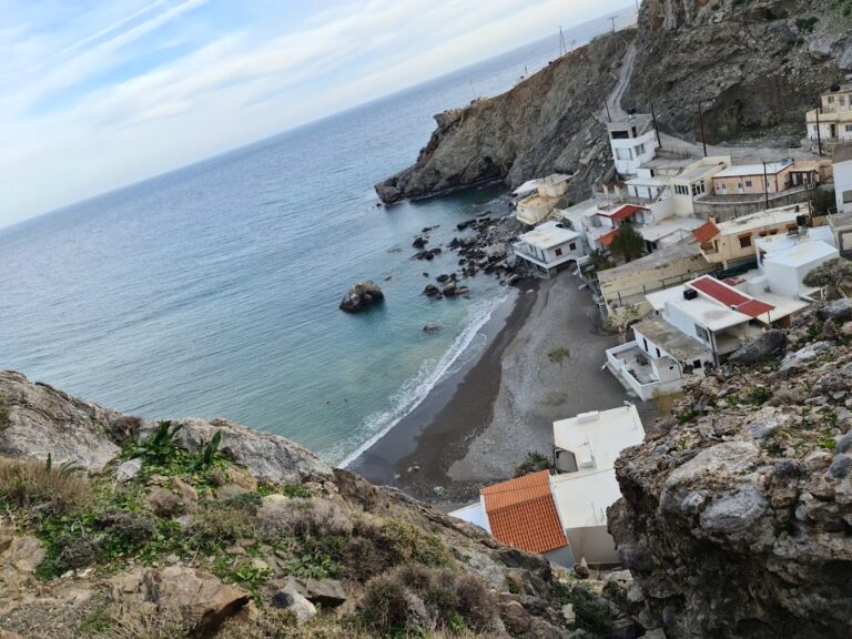
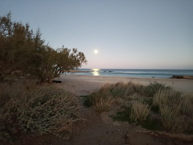
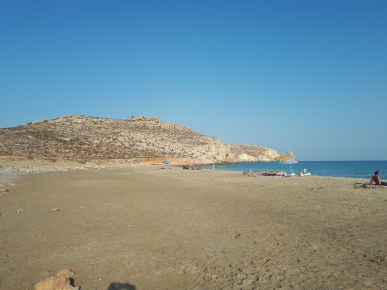
After the waterfall, the landscape transforms into a verdant river valley at the Maridaki settlement, just before the sea. This area is lush with a spring, tall plane trees, and babbling water. If you’re fortunate, you might even spot the river fairies who are said to reside here!

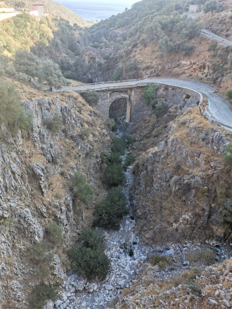
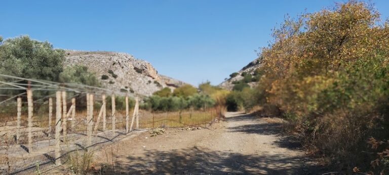
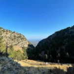
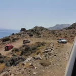
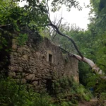
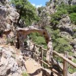
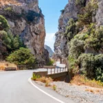
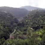
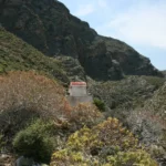
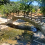
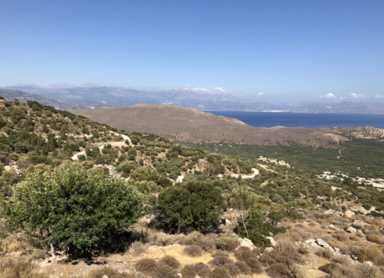
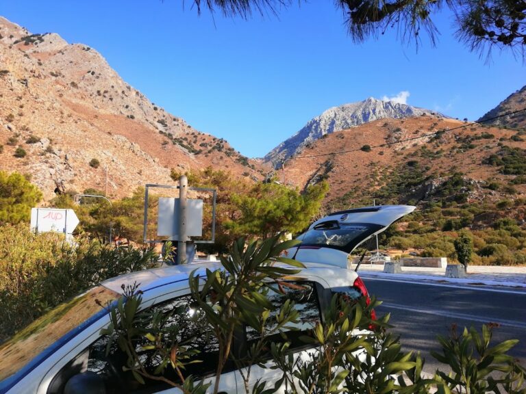
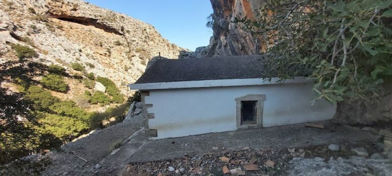
If you prefer not to walk along the gorge, you can still enjoy its beauty by driving the rugged 15km dirt road from Mesohorio to Maridaki, passing by the Agios Nikitas monastery and the Agios Antonios palm grove. A significant portion of this route runs alongside the gorge.

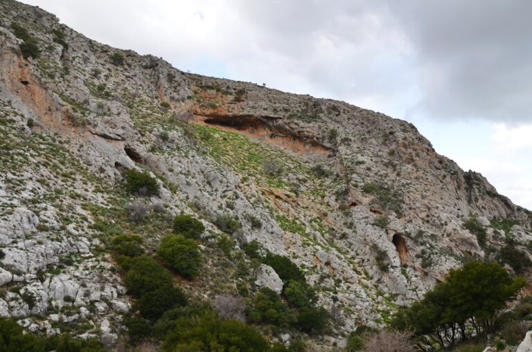
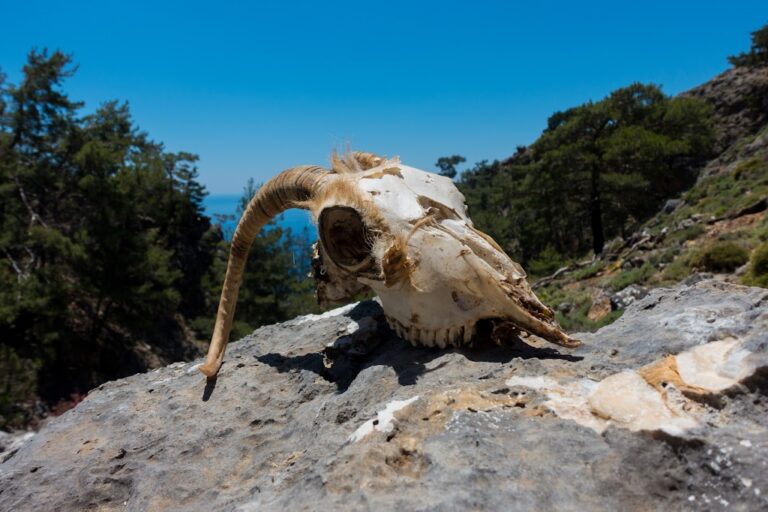
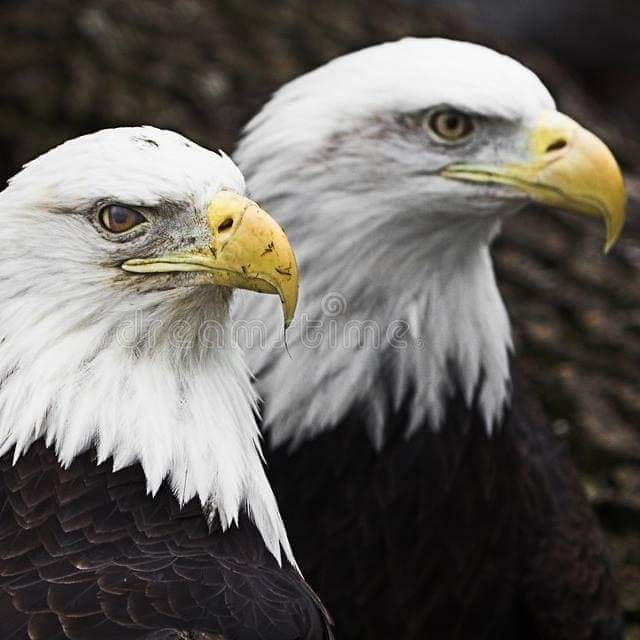
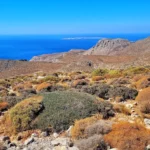
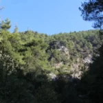
The canyon is home to a large population of raptors and vultures, making the Asterousia gorges the largest habitat for these birds in Europe.

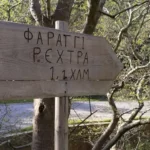
At the gorge’s exit, you’ll find the Lichnistis waterfall, a sequence of 5 waterfalls with the tallest standing at 60 meters. These waterfalls flow after heavy rainfalls and form ponds that are ideal for a refreshing dip in the spring. The waters of Lichnistis originate from springs south of the Ahendrias village and flow into the gorge, whose exit is home to Lichnistis. It’s a mere 10-minute walk from the Maridaki settlement. Named after the way the water disperses into the air like a misty cloud, resembling the winnowing process, the Lichnistis waterfall is one of many in the Asterousia mountains.

  • Katsounaki Gorge
  • Hiking

The Katsounaki Gorge is situated in the arid region of Eastern Crete, to the east of the Xirokambos community. It is essentially a combination of three parallel gorges that converge before they reach the shoreline. These gorges serve as a water transportation system from the eastern portion of the Sitia mountains.

The river that flows through the gorge eventually leads to the Potamos beach, which is adjacent to the stunning sandy beach of Alona. Trekking through the canyon is a simple task and the scenery, with its towering walls, is truly untamed. An alternative option is to walk in the opposite direction starting from Alona.

Other gorges in the areas

Chania

© All rights reserved. Crete Locals