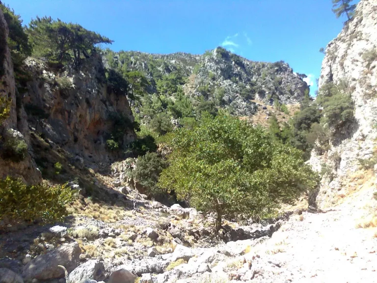
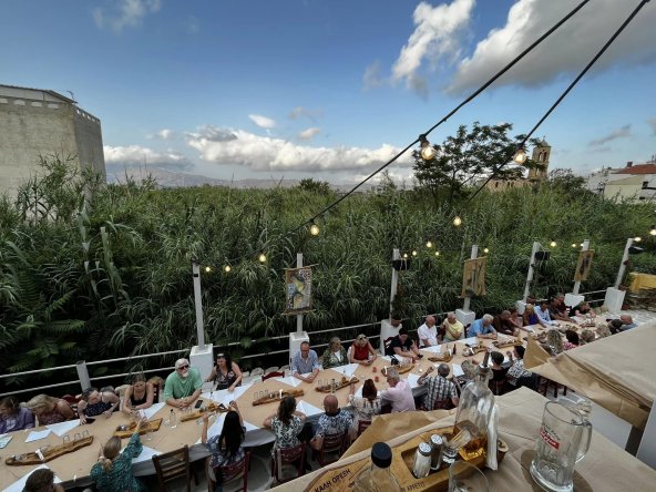
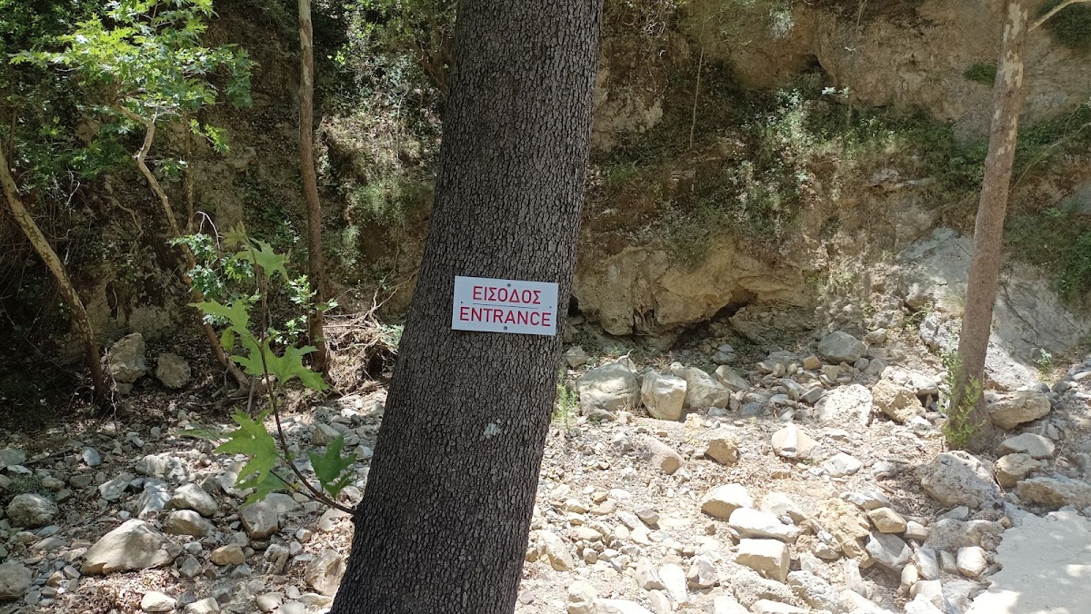
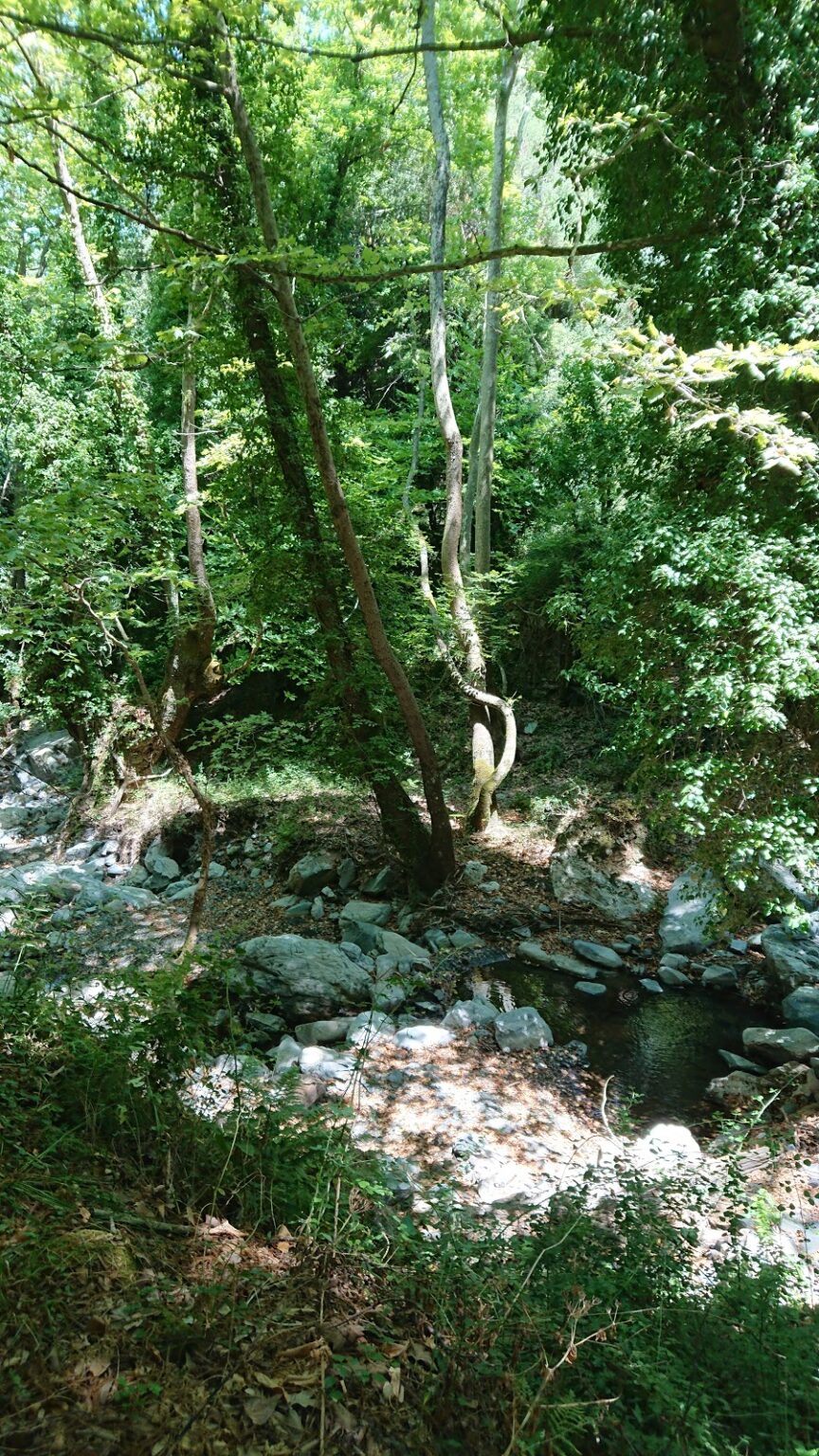
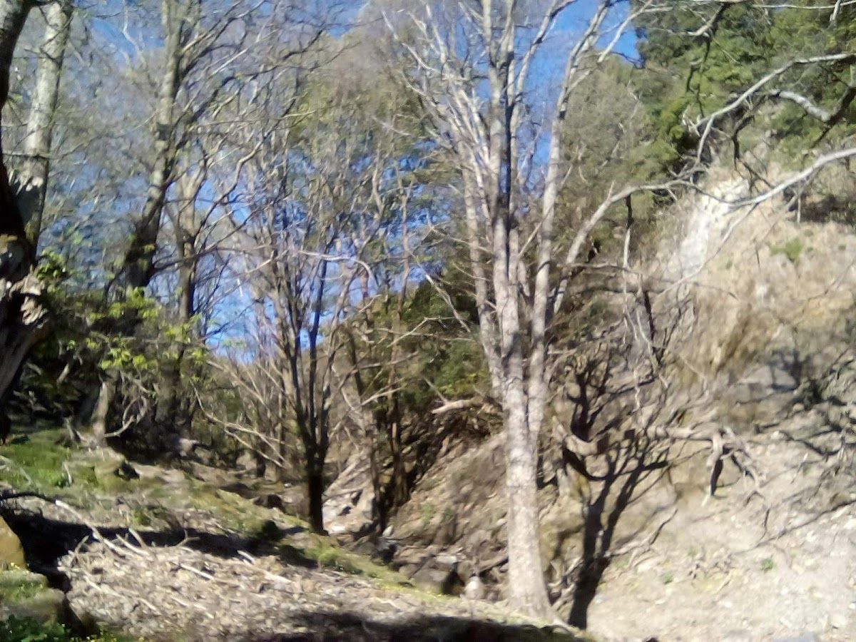
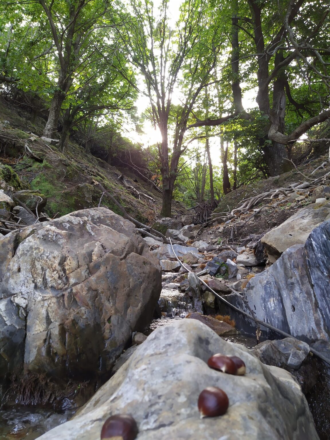
Located about 35km southwest of Chania city, on the northern slopes of Mount Apopigadi, Palea Roumata is a verdant area. This region is made up of 13 neighborhoods, all part of the same village (Palea Roumata), spread across the slopes. Near the small settlement of Lidiana, the Vavouledo and Trachinos canyons converge, providing an ideal circular route with water until late spring.
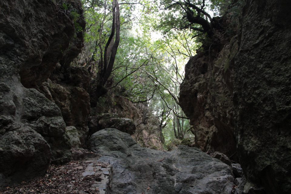
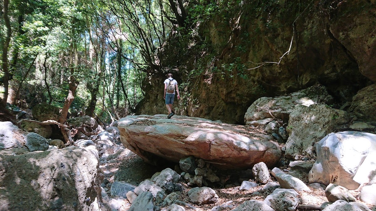
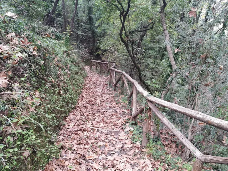
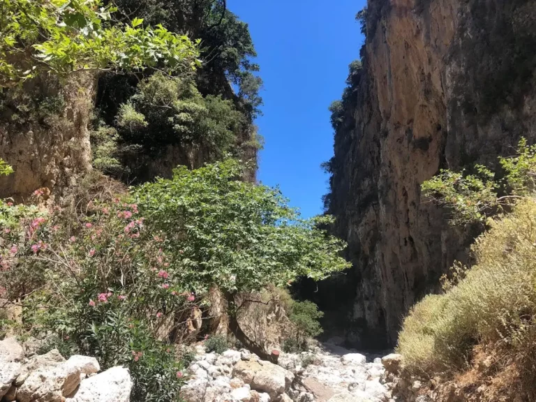
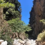
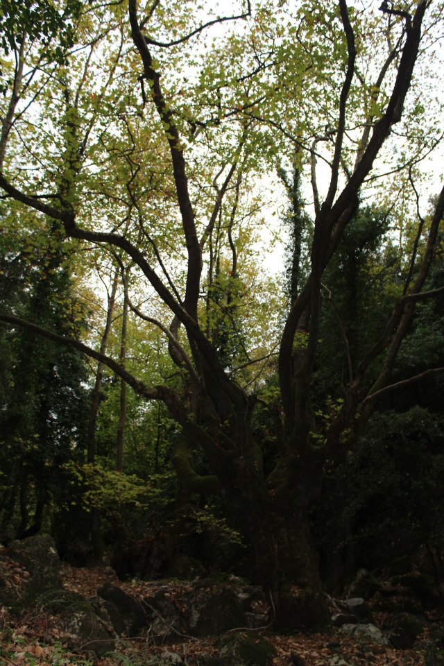
The Trahinos Gorge, starting near the Trahinos hamlet, is fairly short but stands as one of Crete’s greenest gorges. Its walls are so narrow that they’re almost unnoticeable from above. The gorge is filled with dense vegetation, often casting shadows over the riverbed. Similar to Vavouledo, the Trahinos Gorge also features a hiking trail.
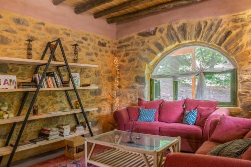
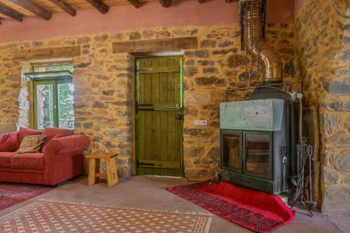
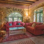
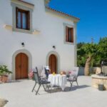
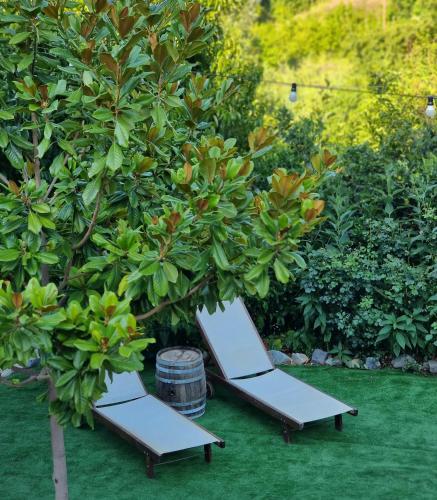
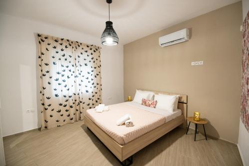
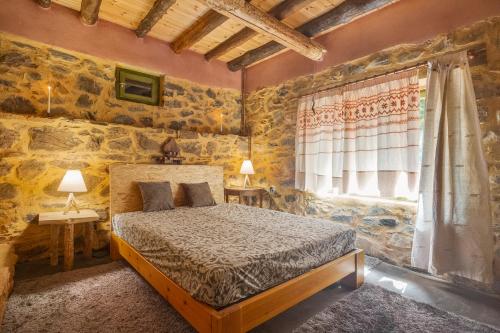
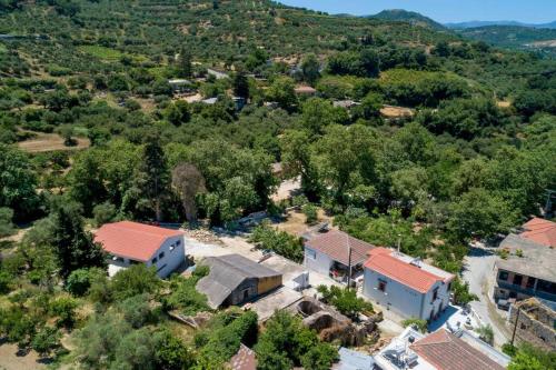
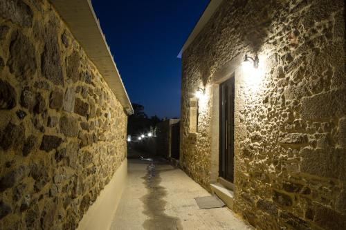
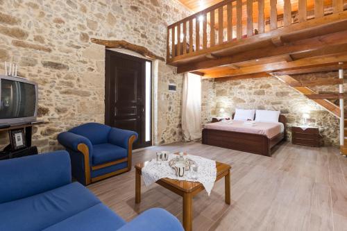
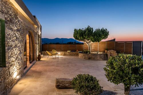
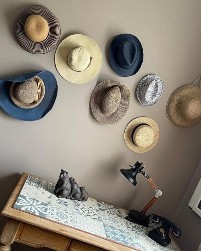
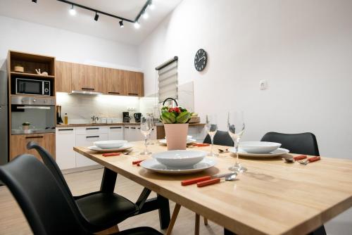
Boasting mountain views, Hani Kastania – Chania retreat for families and groups for holidays and workshops features accommodation with a garden and a balcony, around 18 km from Samaria Gorge. This property offers access to a terrace and free private parking.
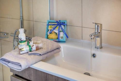
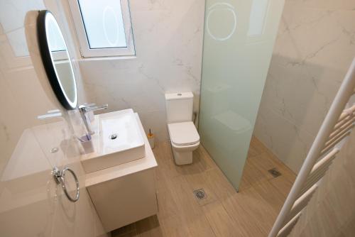
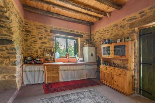
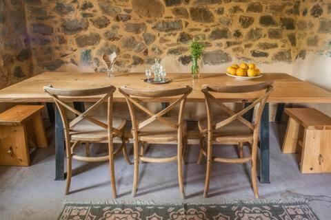
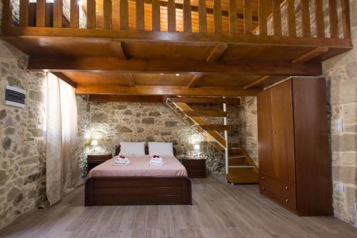
The holiday home includes 3 bedrooms, 2 bathrooms with a bath and a shower, a seating area, and a kitchen with a fridge. Towels and bed linen are offered in the holiday home.
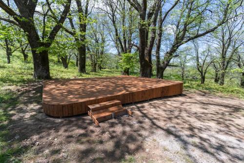
Hani Kastania – Chania retreat for families and groups for holidays and workshops offers a picnic area.
Botanical Park & Gardens of Crete is 24 km from the accommodation, while Limnoupolis is 29 km from the property. The nearest airport is Chania International Airport, 46 km from Hani Kastania – Chania retreat for families and groups for holidays and workshops.
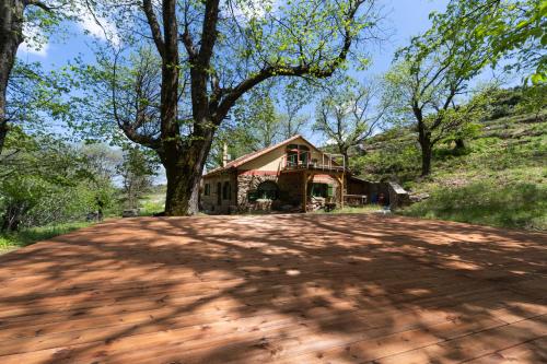
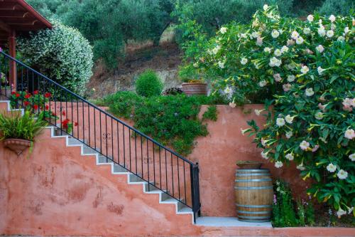
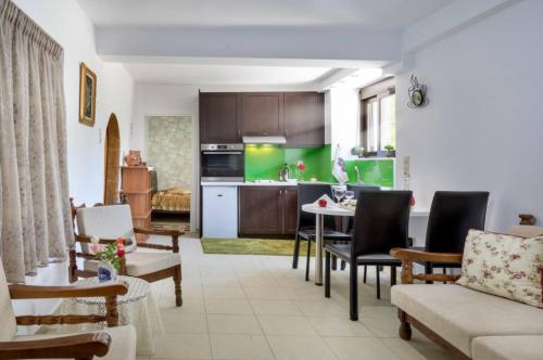
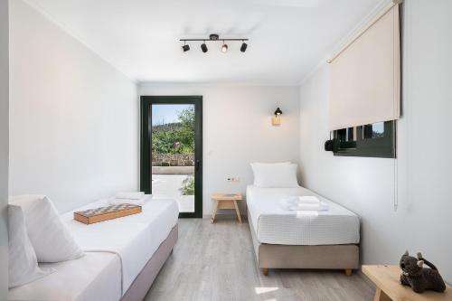
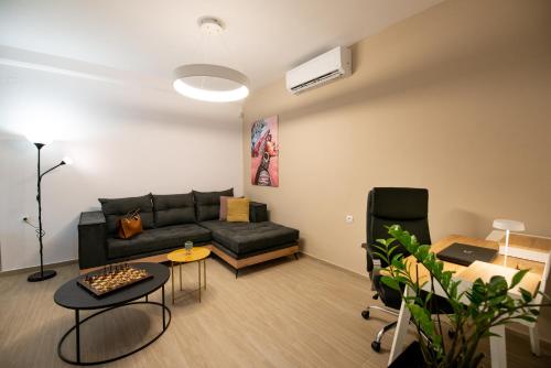
Featuring mountain views, Panethimos House provides accommodation with a balcony and a coffee machine, around 22 km from Kissamos / Kasteli Port. This property offers access to a terrace, free private parking and free WiFi.
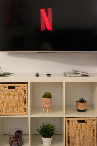
This holiday home comes with 1 bedroom, a kitchen with an oven and a microwave, a flat-screen TV, a seating area and 1 bathroom equipped with an a bath or shower. Towels and bed linen are featured in the holiday home.
The holiday home offers a picnic area. A car rental service is available at Panethimos House.
Agios Dimitrios Church is 26 km from the accommodation, while Platanias Square is 26 km away. The nearest airport is Chania International, 49 km from Panethimos House, and the property offers a paid airport shuttle service.
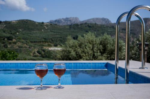
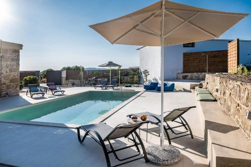
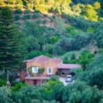
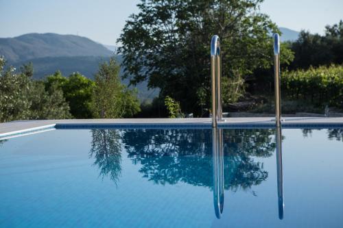
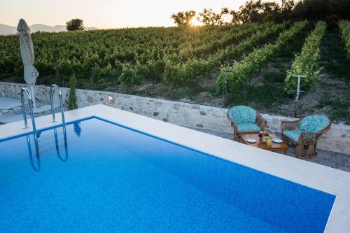
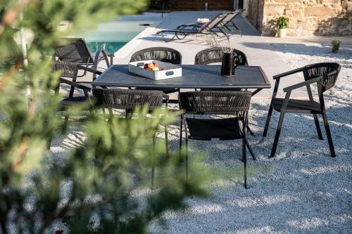
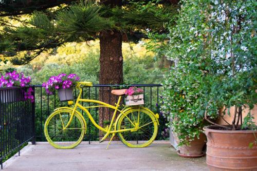
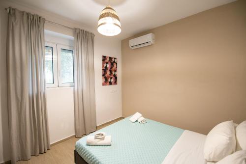
Located in Maláthiros, 19 km from Kissamos / Kasteli Port and 30 km from Agios Dimitrios Church, Villa Margarita’s farm, private pool offers free bikes and air conditioning. This property offers a private pool, free WiFi and free private parking.
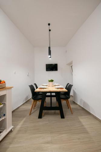
The villa is equipped with 2 bedrooms, 1 bathroom, bed linen, towels, a flat-screen TV with satellite channels, a dining area, a fully equipped kitchen, and a patio with mountain views.
The villa offers a terrace. A car rental service is available at Villa Margarita’s farm, private pool, while cycling can be enjoyed nearby.
Platanias Square is 30 km from the accommodation, while Ancient Falassarna is 31 km away. The nearest airport is Chania International, 53 km from Villa Margarita’s farm, private pool, and the property offers a paid airport shuttle service.
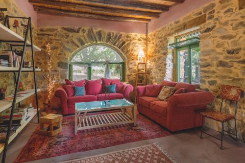
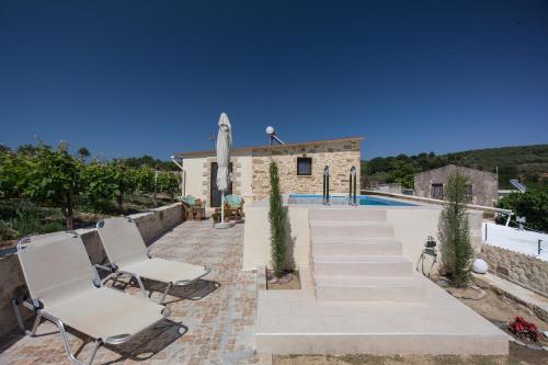
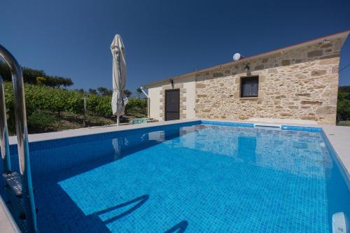
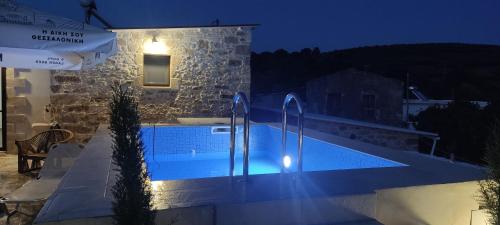
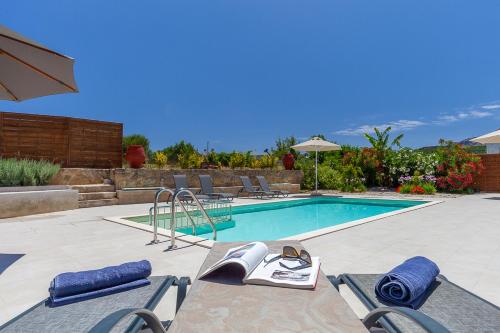
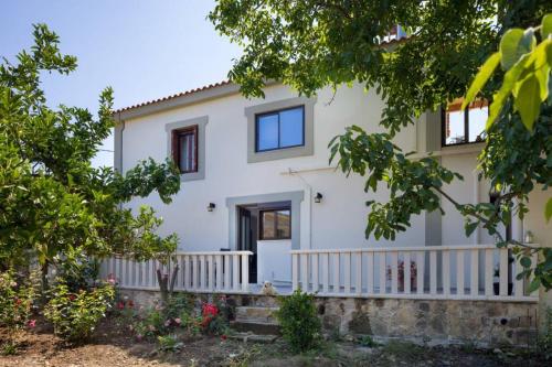
Boasting a seasonal outdoor swimming pool, a garden and a lounge, Trialonia Luxury Villa features accommodation in Kissamos with free WiFi and pool views. This villa provides air-conditioned accommodation with a patio.
The villa has 3 bedrooms, a TV with satellite channels, an equipped kitchenette with a dishwasher and a microwave, a washing machine, and 2 bathrooms with a shower.
The villa offers a children’s playground. A bicycle rental service is available at Trialonia Luxury Villa.
Kissamos / Kasteli Port is 18 km from the accommodation, while Gramvousa is 30 km from the property. The nearest airport is Chania International, 56 km from Trialonia Luxury Villa, and the property offers a paid airport shuttle service.
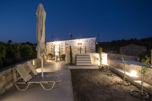
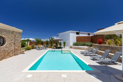
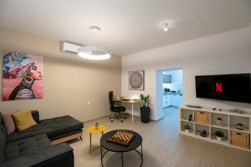
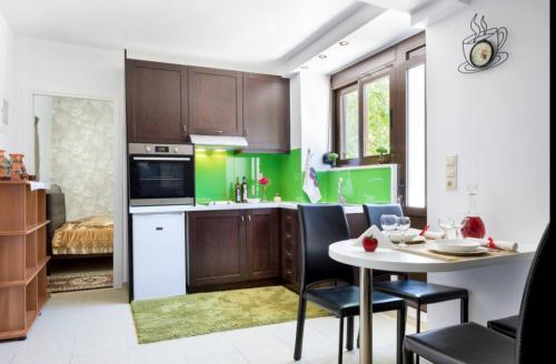
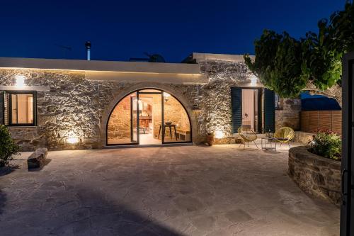
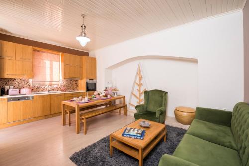
Boasting garden views, Casa Arokaria features accommodation with a patio and a coffee machine, around 17 km from Platanias Square. This property offers access to a balcony, free private parking and free WiFi.
The apartment has 3 bedrooms, 1 bathroom, bed linen, towels, a flat-screen TV with satellite channels, a dining area, a fully equipped kitchen, and a terrace with mountain views.
The apartment offers a barbecue. Both a bicycle rental service and a car rental service are available at Casa Arokaria, while cycling and hiking can be enjoyed nearby.
Agios Dimitrios Church is 18 km from the accommodation, while Municipal Garden is 26 km from the property. The nearest airport is Chania International, 41 km from Casa Arokaria, and the property offers a paid airport shuttle service.
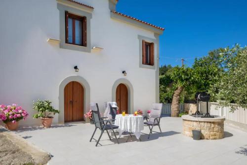
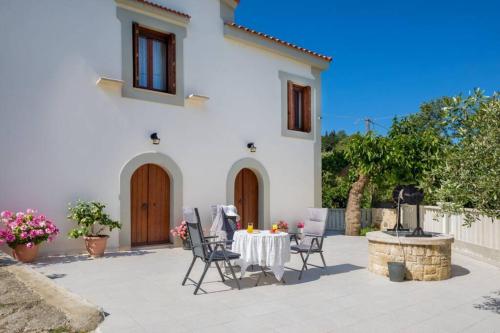
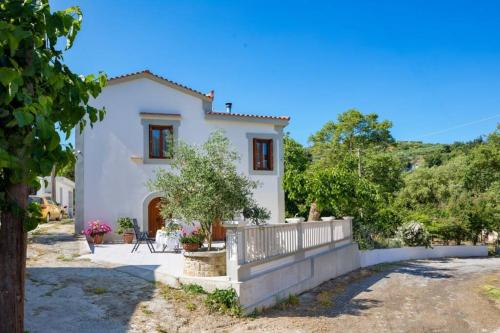
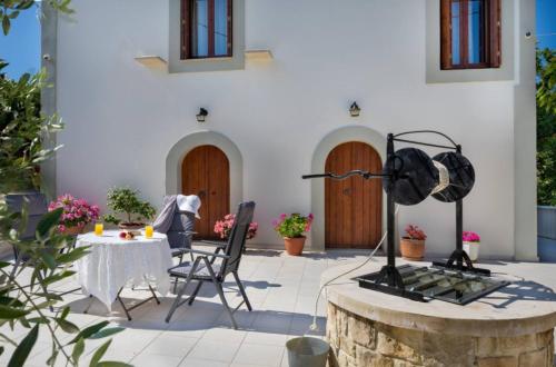
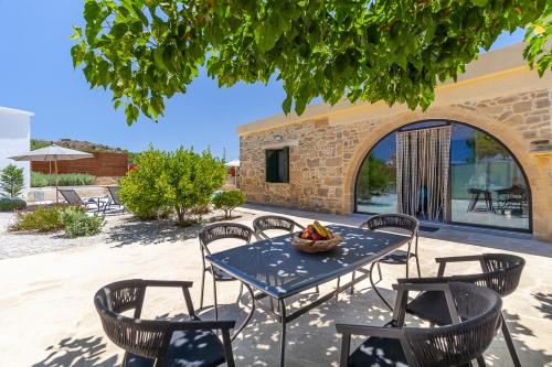
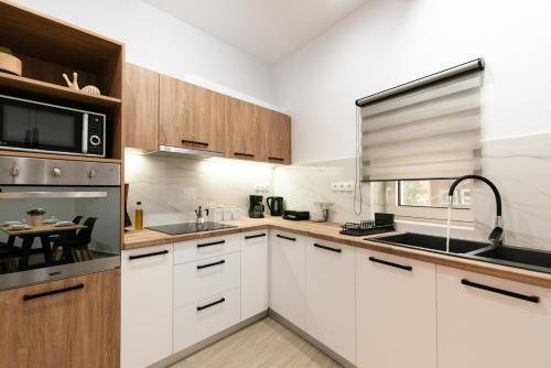
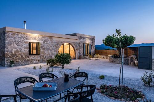
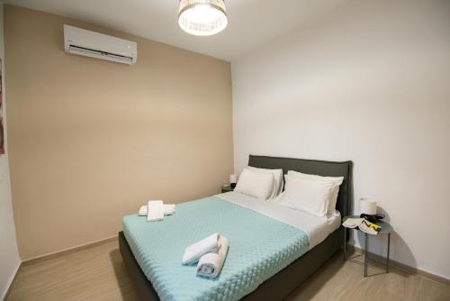
Featuring garden views, M and A village house with two bedrooms in quiet village provides accommodation with a patio and a coffee machine, around 16 km from Agios Dimitrios Church. The air-conditioned accommodation is 16 km from Platanias Square, and guests benefit from complimentary WiFi and private parking available on site.
The apartment is equipped with 2 bedrooms, 1 bathroom, bed linen, towels, a flat-screen TV with streaming services, a dining area, a fully equipped kitchen, and a terrace with mountain views.
Both a bicycle rental service and a car rental service are available at the apartment.
Municipal Garden is 24 km from M and A village house with two bedrooms in quiet village, while Fransiscan Monastery of Agios Fragkiskos is 24 km away. The nearest airport is Chania International, 40 km from the accommodation, and the property offers a paid airport shuttle service.


