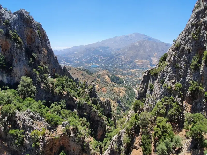
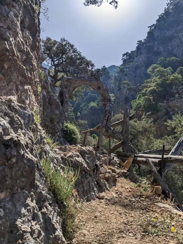
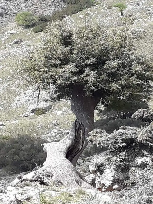
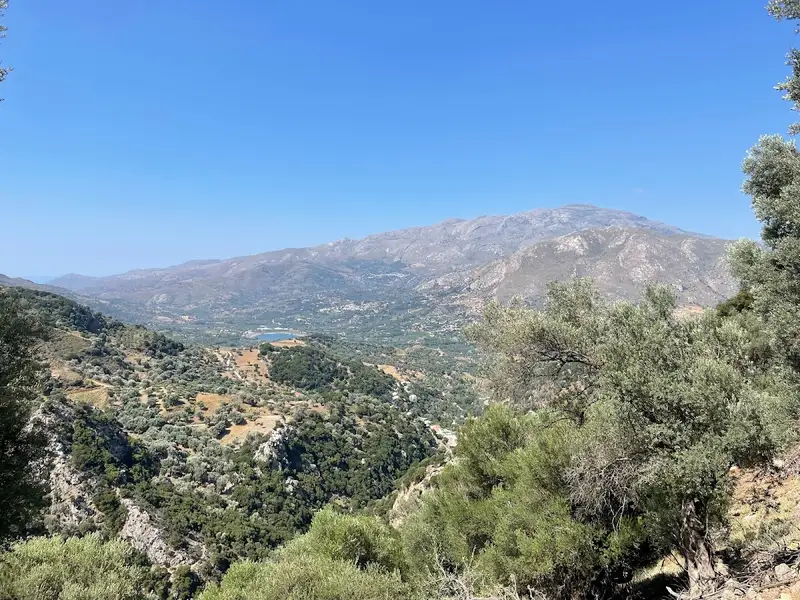
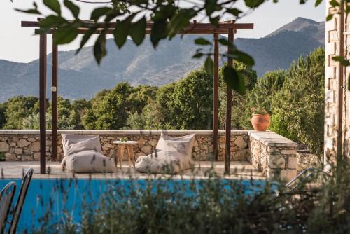
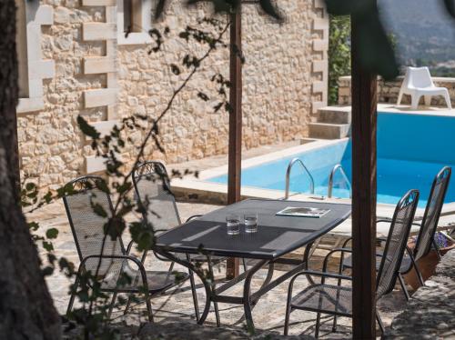
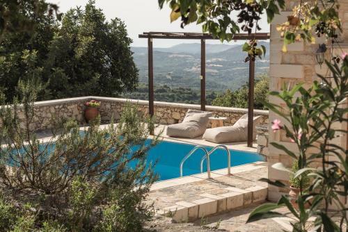
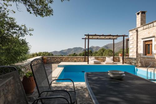
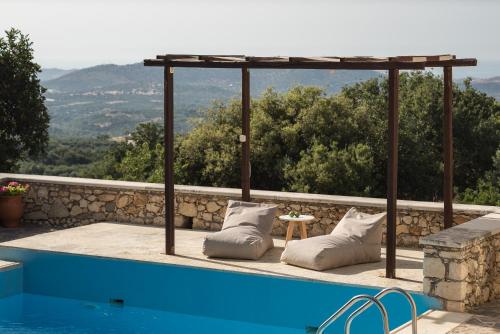
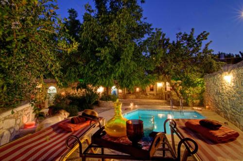
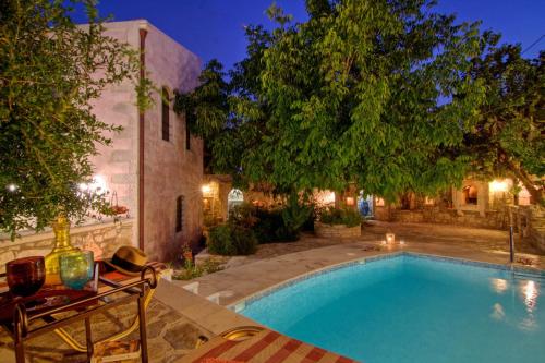
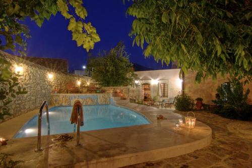
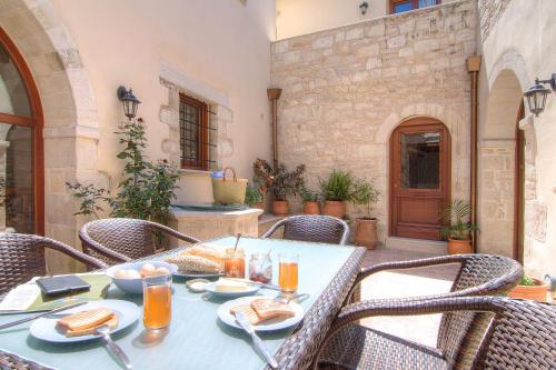
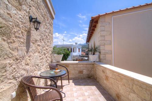
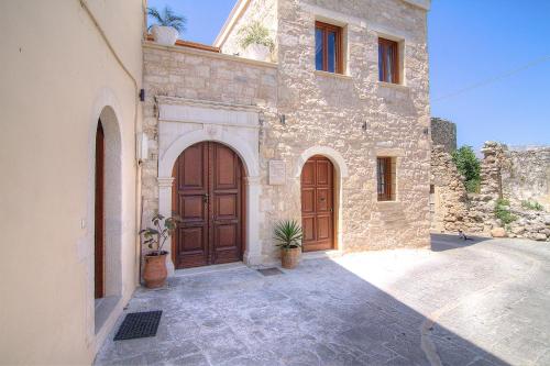
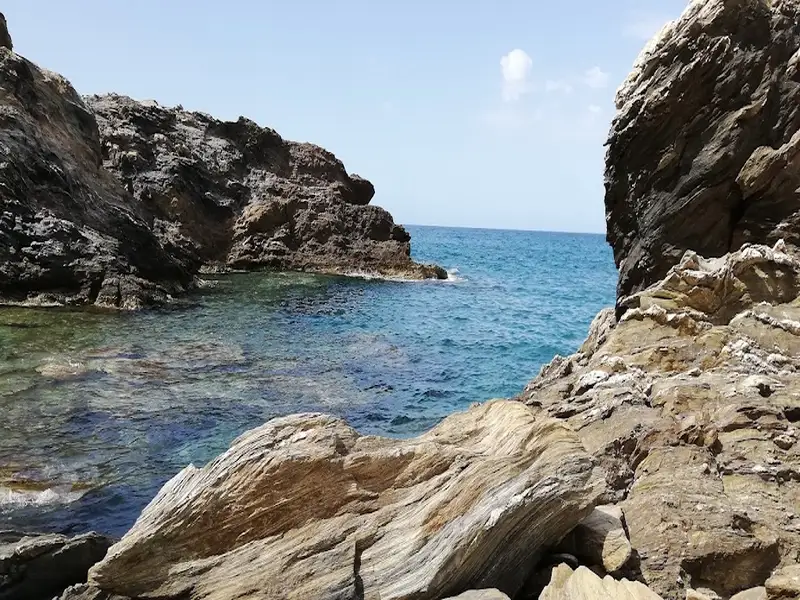
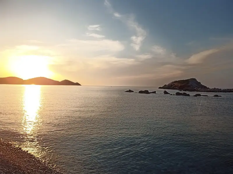
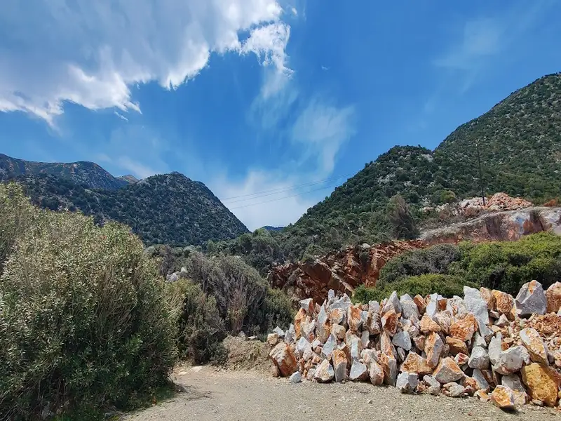
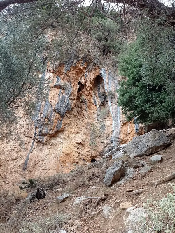
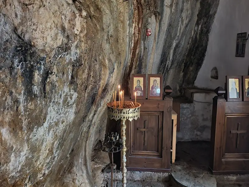
Embark on a guided off-road driving adventure in discovery of the history and traditions of Crete. Meet locals, see nature and wildlife, and embrace the renowned Cretan hospitality. Then enjoy a relaxing lunch featuring local food and wine.
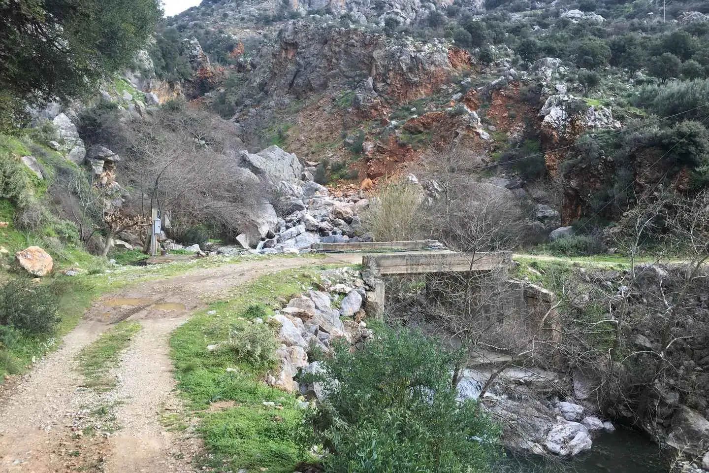
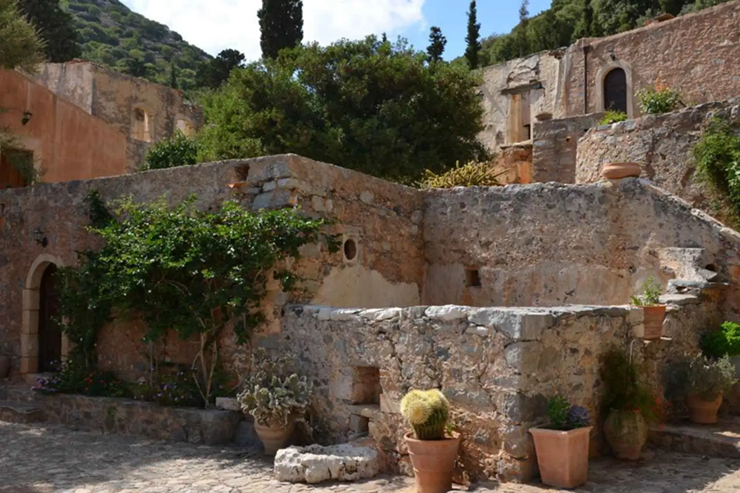
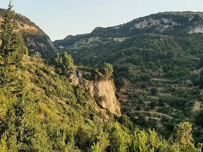
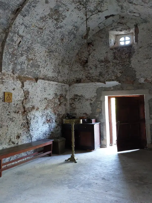
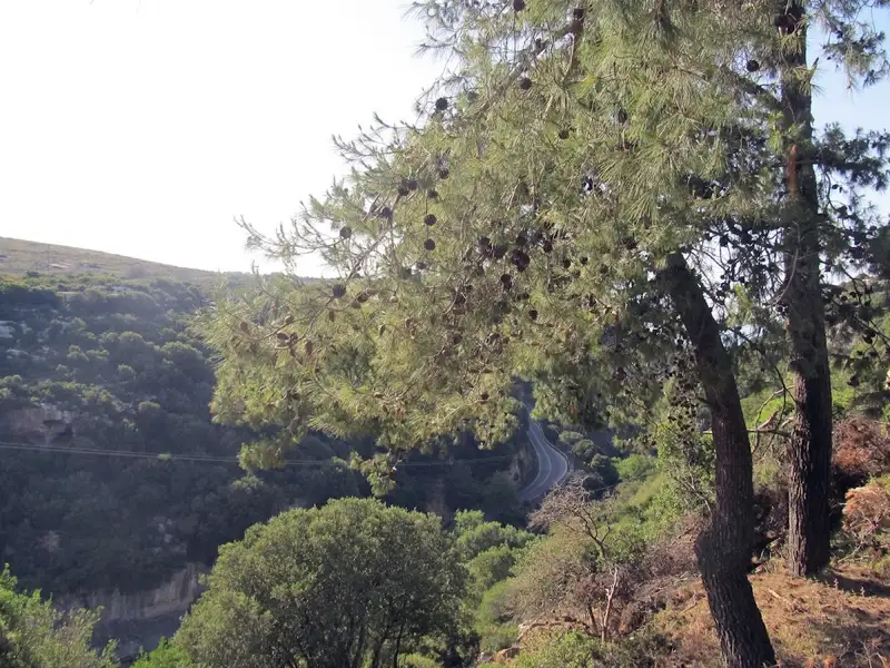
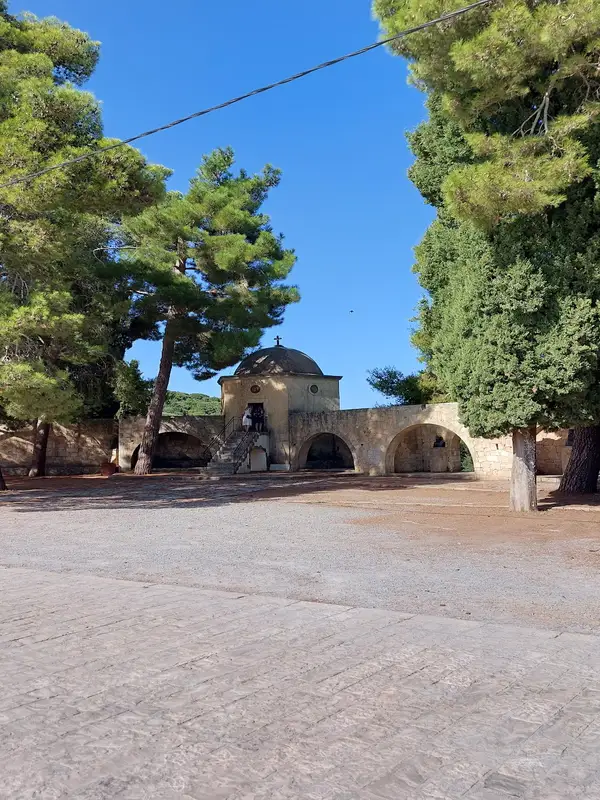
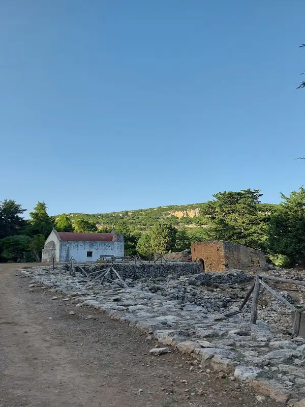
Head south from Rethymno, passing through the villages of Halepa, Garazo, Faratsi, and Veni, known for their dense vegetation, fresh aromas, and unique views. Stop off at the historic Halepa Monastery, former refuge for Cretan rebels during civil wars. Take pictures of the magnificent mountain tops and valleys that surround you.
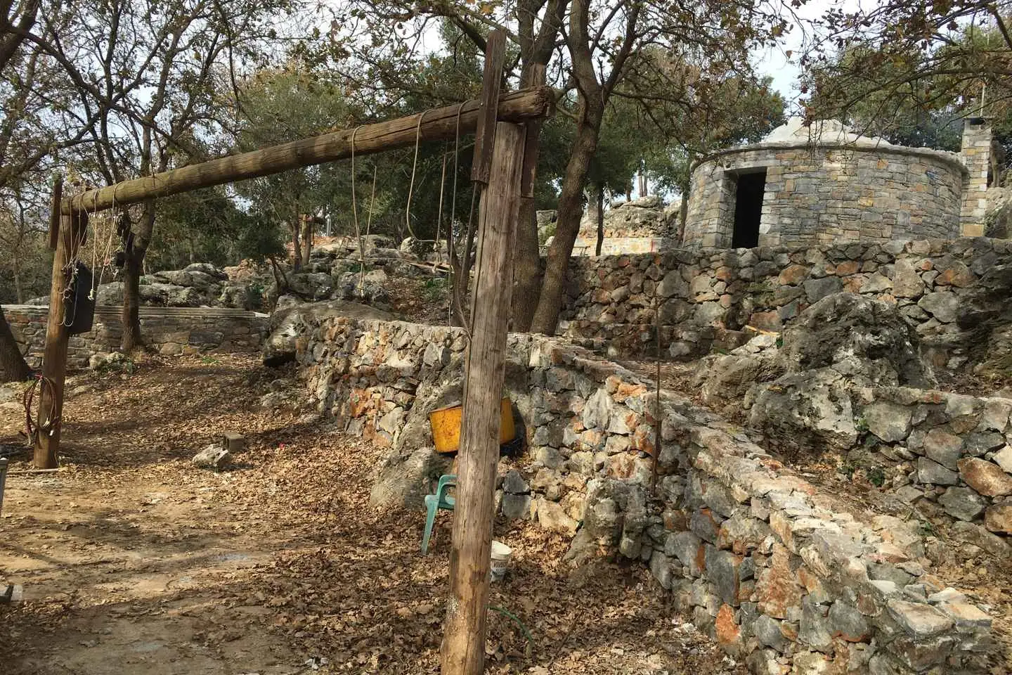
Continue the drive while taking in the panoramic views and trying to spot wild eagles and goats along the way. Arrive at a mitato (shepherd’s hut) and learn all about the shepherd
lifestyle and cheese-making process.
Satisfy your appetite at a traditional Cretan tavern in the village of Axos and savor the local cuisine and wine before returning to Rethymno.
Immerse yourself in the traditional customs of Crete on a private tour from Rethimno. Meet the only living nun at Vossakos monastery and be introduced to Mr. Andreas and Mrs. Eleni at a local pasture. Learn about goat-herding and beekeeping from the experts and indulge in delicious Cretan cuisine.
Get picked up from your accommodations in Crete and leave the city center behind for the picturesque countryside. Arrive at the historical Vossakos monastery, settled in a landscape of beautiful flowers, lush trees, and aromatic herbs.
Walk towards the monastery and be welcomed within by the one remaining nun who lives here. Be treated to her smile and a taste of the sweet loukoumi, learning about the stories surrounding these holy walls.
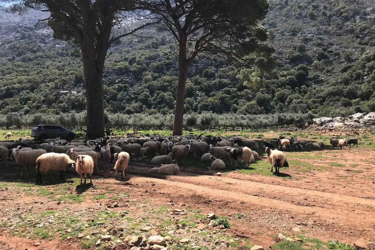
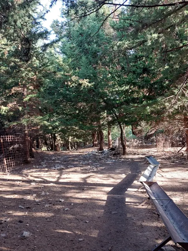
Depart from the monastery to visit a local pasture. Pass through the entrance of three huge trees and meet Mr. Andreas, the resident shepherd. Listen to him detail his daily routine, including taking care of the goats and the process of producing milk.
Indulge in the delicious flavors of traditional Cretan appetizers, such as cheese, olives, and a glass of raki. With a happy stomach, follow the shepherd out to his flock and watch as 100 goats rush out of their pen into the high hills.
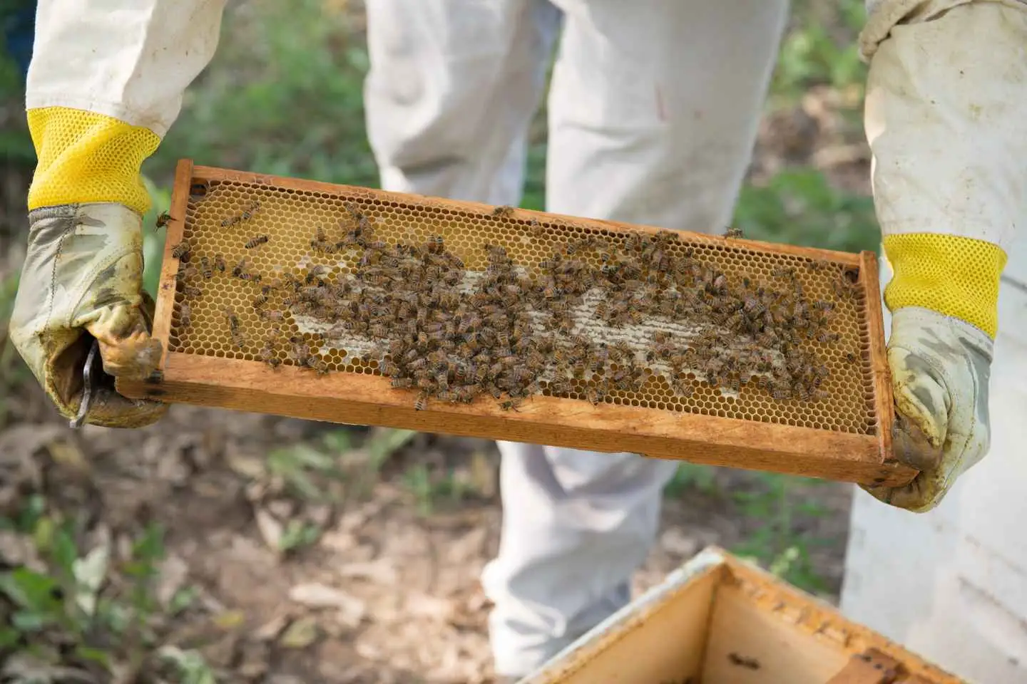
Say goodbye to Mr. Andreas and be introduced to his wife, Mrs. Eleni. Slide into your beekeeping uniform as she leads you to the hives, demonstrating her mastery over the honey-loving insects.
Observe the procedure for honey extraction that Mrs. Eleni undertakes with her bare hands! Learn the family secrets behind why she has no need for her own beekeeper’s uniform.
Bee welcomed into the home of Mr. Andreas and Mrs. Eleni, situated high up in the mountains with breathtaking views over the village. Take a walk through the peaceful environment, relaxing into this fairytale-like world.
Open a bottle of wine and enjoy a glass while a traditional lunch is prepared for you. Tuck into a range of local organic products and finish off your meal with a delicious dessert, such as pitakia with honey on top.
After lunch, be guided to the heart of Apladiana, one of the most ancient villages on the island which still adheres to Cretan customs. Cross through a field full of orange trees, reveling in the citrusy breeze, and finish your tour in the village square.
Our adventure begins from our base in Bali, after a security update and a little practice. We drive away from the main traffic through provincial and country roads, which only locals know and we cross one of the biggest olive groves of the island.
We explore 10 small traditional villages with narrow streets, meet local people and admire Venetian and Ottoman stone buildings of the 17th and 18th century, which will take us back in time to another era.
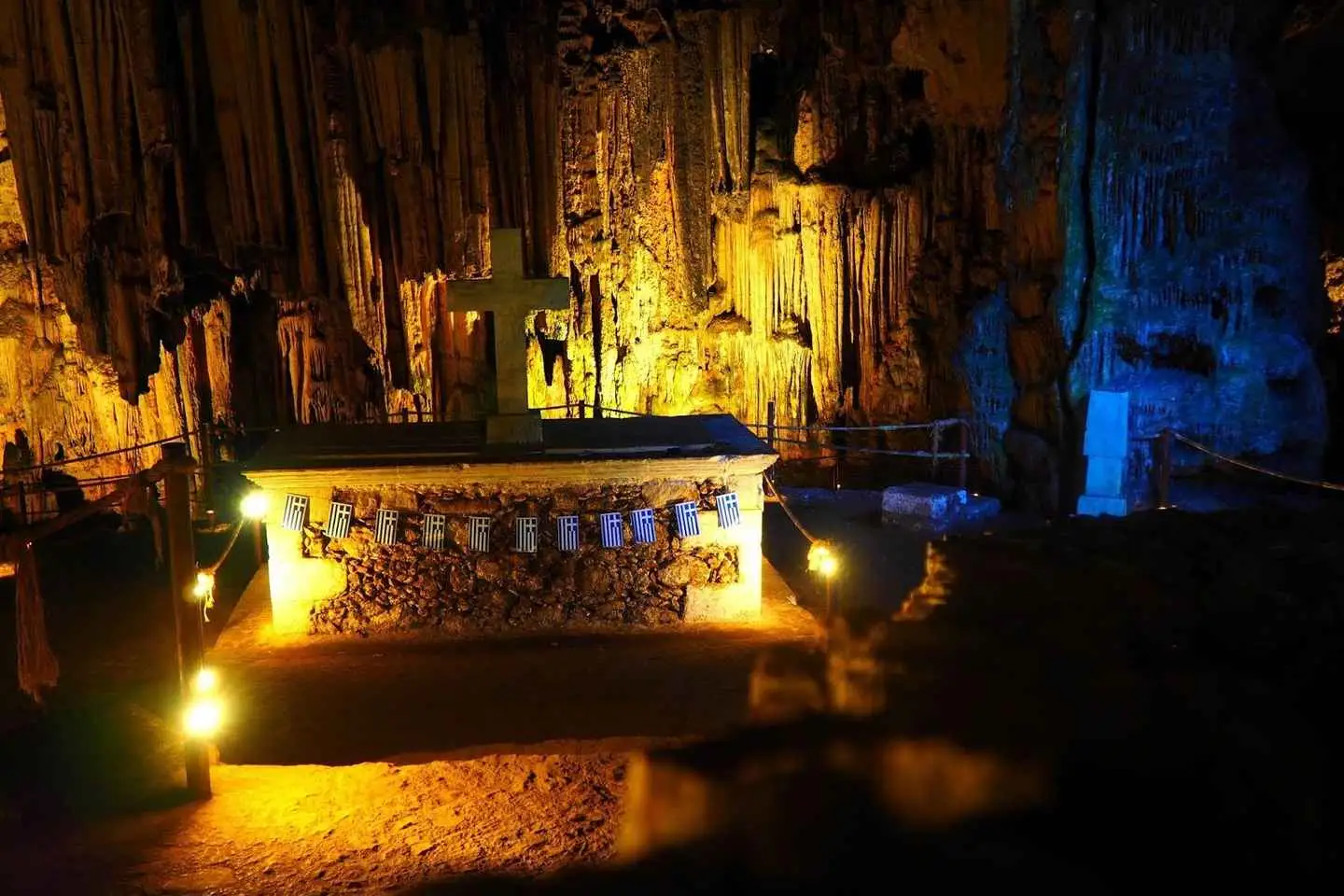
In one of our stops we explore one of the most important caves of Crete, Melidoni cave, which is located on top of a mountain.
We enjoy the amazing panoramic view of the beautiful valley, with dozens of villages and the highest mountain of Crete called Psiloritis – Idi.
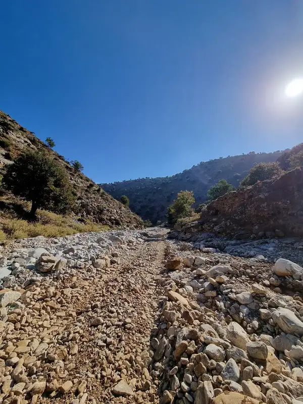
We have much fun on the dirt roads, passing through the fields as we discover unique picturesque landscapes of the beautiful wildlife of Crete.
We’ll make enough stops during our safari, offering excellent opportunities for amazing pictures and breathtaking landscapes.
Benefit from pick-up at your hotel in the Rethymno area, and then explore the traditional lifestyle and historical legacy of Crete.
Learn the Neolithic history of the Melidoni Cave and discover the pottery traditions of the village of Margarites.
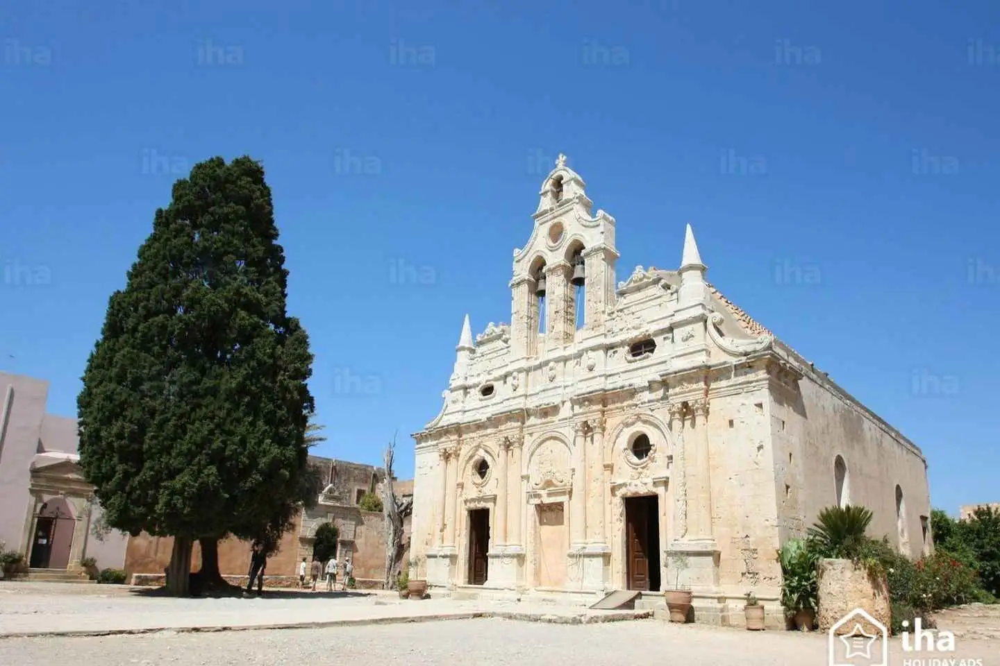
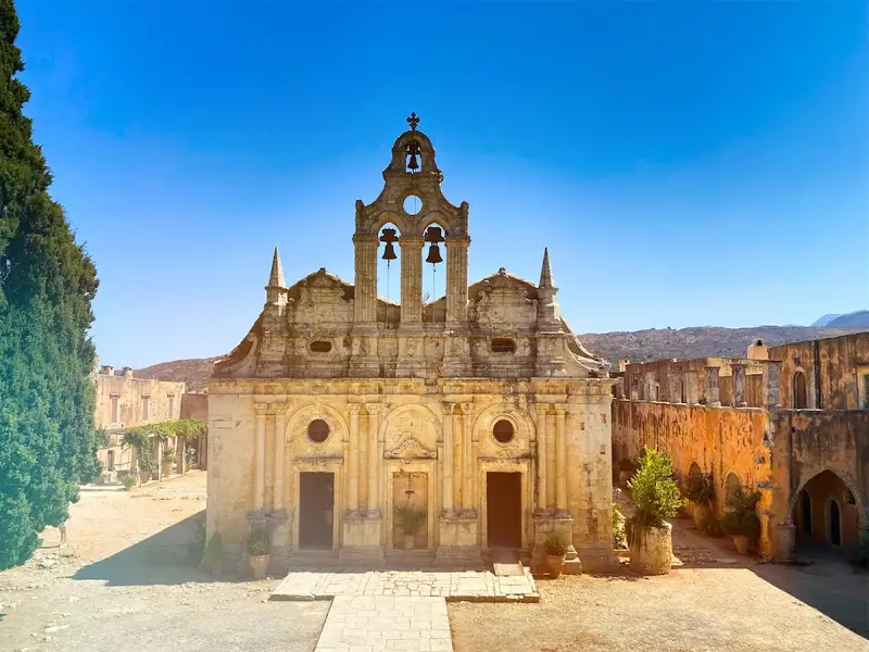
Discover the oldest monastery in Crete at the 16th-century Arkadi Monastery, and then go to the village of Apostoli to visit an old olive oil factory. Enjoy lunch in a traditional tavern and listen to the beautiful sound of live folk music before making your way to St. Antonios Gorge. Stop at the Fragma Potamon dam before making your way back to Rethymno.
No results available
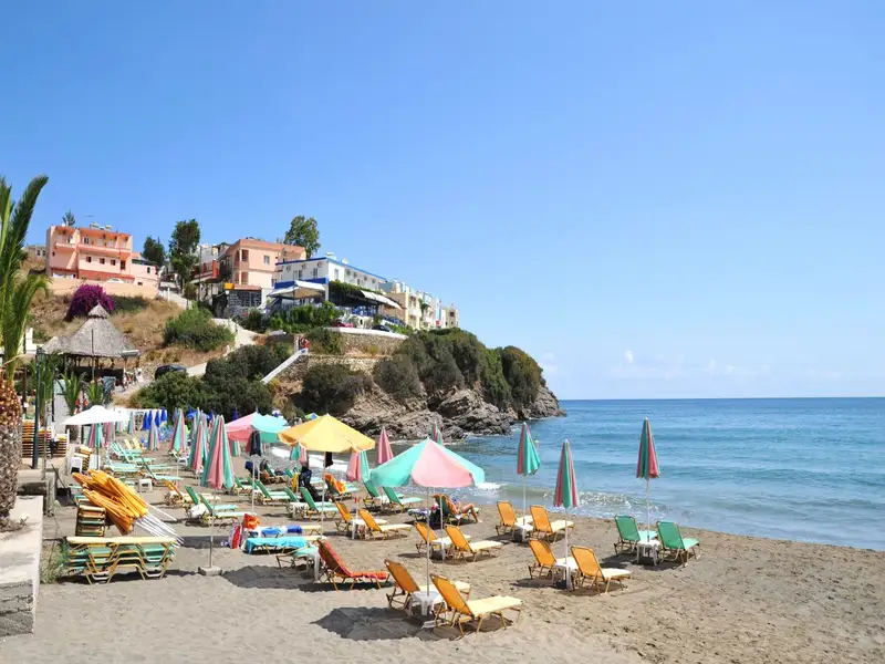
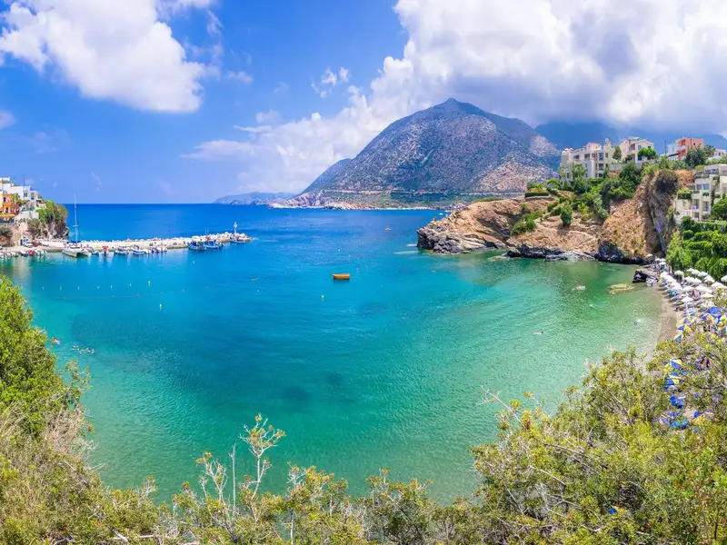
| Beach | Character | Best for |
|---|---|---|
| Livadi | Longest beach; open bay, more exposed to wind; lively | Space, easy access, first stop in the village |
| Varkotopos | Secluded bay; sand and gravel; shallow water | Young children, families |
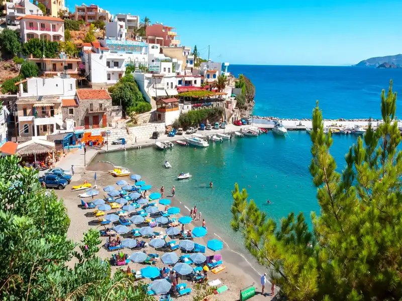
| Limani (Harbor) | Beside the port; restaurants and shops | Eating out, a swim near the harbor |
| Karavostasis | Smallest and prettiest; can feel crowded | A scenic swim, photos |
Charakas is a region situated approximately 36km to the east of Rethymno and 44km to the west of Heraklion, near Bali. Just half a kilometer east of the Panagia Charakiani Church, a small peninsula forms where the petite beaches of Glaros and Katevati can be found. The major highway that links Heraklion and Rethymno is conveniently close by.
Katevati Beach
Located on the western edge of this peninsula is the small but charming Katevati beach, known for its large pebbles. It boasts spectacular views of the rugged Talean Mountains to the south. Its rocky underbelly makes it an ideal spot for fishing and snorkeling. However, it is unregulated, so visitors are advised to come equipped with necessities such as an umbrella, food, and water. Furthermore, it is shielded from the prevalent northern winds due to its eastern positioning. To the north of the beach, on a hill, there are ruins from an ancient settlement.
Glaros Beach
A short distance to the north of the first beach, accessible via a trail starting north of the highway, are the three beautiful beaches of Glaros (also referred to as Glaria or Peristeri) which face west. The beach gets its name from the small, greenish islet of Glaros that’s separated from the shore by a very narrow canal (less than 2m in width). While the shore is sandy, the seabed is rocky, making it an ideal spot for solitude seekers and snorkeling enthusiasts. The northernmost beach, which can be reached by crossing a hill with a Minoan settlement, is considered the most beautiful.
Charakiani Beach
Situated below the Panagia Charakiani Church is a beach with large, round pebbles that attract snorkelers and spearfishermen. This beach can be easily accessed by following a trail that starts from the church. It is easily identifiable by a small islet located directly opposite the beach.
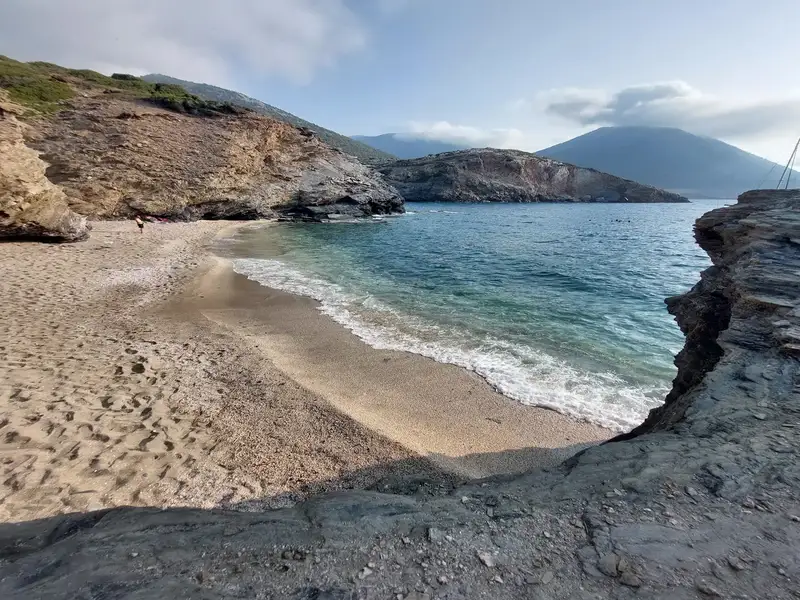
The beach of Agios Nikolaos, situated slightly west of Bali in the province of Mylopotamos, is nestled in a secluded area. The beach’s name is derived from the Byzantine two-nave church of Saint Nicholas, which is positioned within a lush green creek leading to a stunning cove. Despite the ravine drying out towards the end of spring, the presence of numerous plane trees indicates the existence of water.
The cove is encased by striking limestone rocks that create small caves, adding to the charm of Agios Nikolaos. The beach, however, has a rocky seabed and is almost semicircular in shape. Unfortunately, it is often littered with trash brought in by the north winds.
Access to Agios Nikolaos beach is via two poorly maintained dirt roads that start near the motorway, beyond Bali. One of these routes, which first ascends to the antennas at Bombadopirgos peak before descending to the beach, is closed off. The other route approaches the beach from the east, but due to its poor condition, a walk of roughly 10 minutes is required.
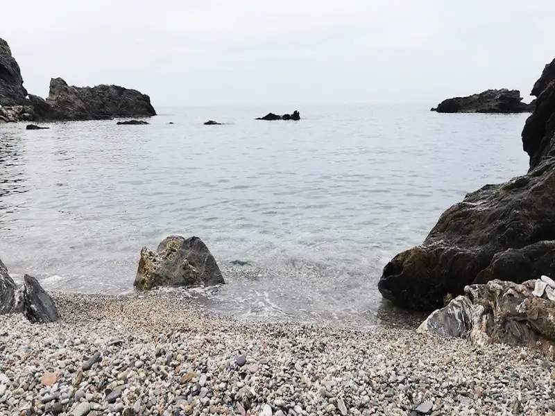
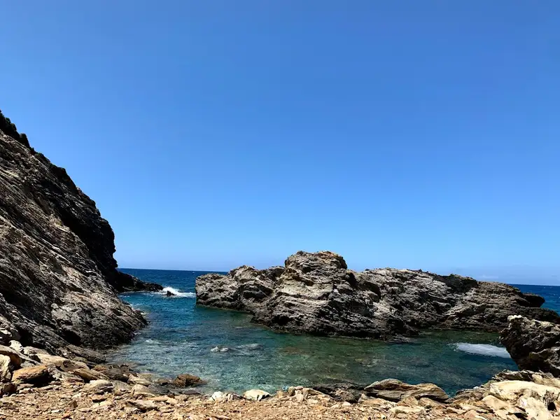
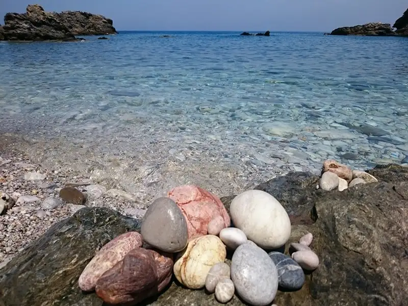
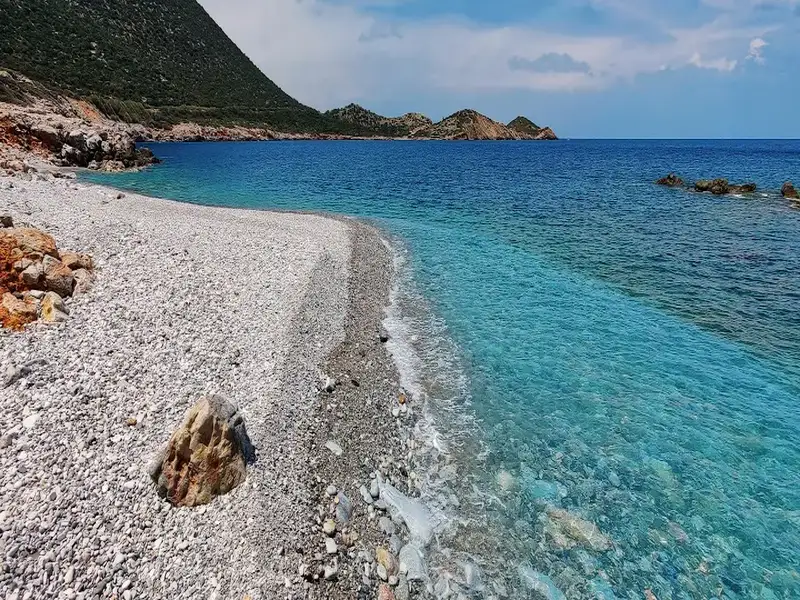
Between the coast of Panagia Charakiani and Kefali hill, where archaeological remnants have been found, lies the region of Propatoumenos, just a short distance west of Holy 317 Fathers Church. Propatoumenos translates to “the area that can be walked”. This is because there used to be a walking trail to the ancient town of Astali, near Bali. Given that the surrounding Talean mountains are incredibly steep and difficult to traverse, this area was perfect for walking. This broader area is rich in unexcavated Minoan settlements, most of which have been left to the mercy of roaming goats. Within this region, we encounter three remote pebbly beaches with pristine waters, situated just a stone’s throw away from the highway. The seabed, teeming with rocks, conglomerate formations and natural arches, is an ideal spot for snorkelling. Across the beaches, the small islet of Prassonissi, home to seagulls, can be accessed by swimming.
Kefala Beach
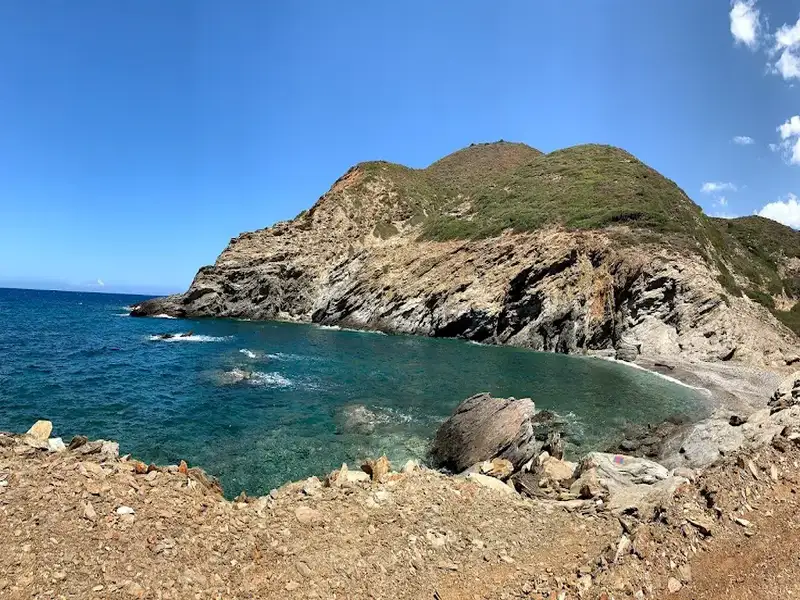
Tucked away to the east of Panagia Charakiani, near Bali, is Kefala Beach. This hidden gem, with its crystal clear waters all year round, remains fairly unknown. Although generally inaccessible, the beach unveils a stunning coastline adorned with vibrant hues of red soil and green vegetation from shrubs and wild carob trees during calm weather. Kefala has a charming pebble beach with a rich seabed. Further east, the beaches of Kalo Horafi and Vrahi can be found. Kefala gets its name from the low peak, about 40 meters high, situated just above the sea that once housed an unknown Minoan settlement. The entire area above the beach is scattered with remnants of ancient walls and structures.
No results available
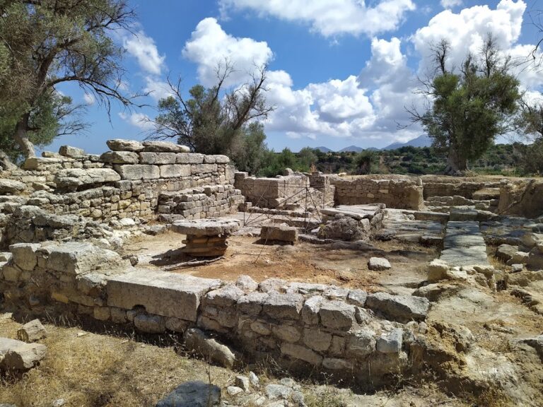
The ancient site of Eleftherna is situated 25km southeast of Rethymno and in close proximity to the Monastery of Arkadi. It is the most significant archaeological location in the Rethymno prefecture, with many areas still to be excavated. The University of Crete began the first organized excavations in 1985.
Eleftherna was established by the Dorians around the 9th century BC and was inhabited until the early Byzantine years. Its strategic location at an altitude of 380m, with roads connecting it to ancient Kydonia, Knossos, and Ida Mount, contributed to its long history. Findings have been discovered in three different positions on the same hill.
During the first Cretan War (205BC-200BC), Eleftherna sided with Macedonia against Knossos. The town resisted the Roman occupation, led by general Quintus Caecilius Metellus, until it eventually fell by treachery. In the Roman period, the city continued to prosper, with the construction of baths, cisterns, villas, public buildings, and towers. The Byzantine era marked the last period of the city before its destruction by the Arabs. It became a Diocese, and the great basilica, of which remains still stand today, was built. The significance of Eleftherna as an archaeological site led to the creation of the Archaeological Museum of Eleftherna above the site.
At the Orthi Petra position, a necropolis was discovered, becoming the most important part of Eleftherna with numerous findings (and still being excavated). Here, archaeologists found the “tomb of warriors” containing 480 vases, weapons, and the trench of warriors killed in battle.
In 2010, archaeologists discovered an unlooted tomb from 700BC. The tomb was a large lying jar, with its entrance blocked by an 800kg boulder. Inside the jar were the bones of a young couple, possibly siblings, covered with a gold cap made of 3000 gold sheets of different shapes. The girl wore gold jewelry depicting a bee, the first representation of a bee as a goddess in Crete. Interestingly, when the jewelry is turned upside down, the bee disappears, and a beautiful lily takes its place. In another jar, archaeologists found a golden, real-size eye among the bones. They named it “Tutankhamun’s eye” as it is identical to the one in the funerary mask of the Egyptian King.
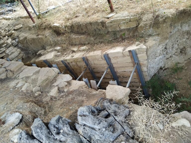
About 4 km northeast from the village Margarites, in the province of Milopotamos, a dirt road leads to the Late Minoan domed tomb of Margarties dating back to 1350 BC, which is considered one of the most important sites in the area. An aisle with carved stones leads to a circular domed tomb. Inside it, the bones of four adults and two children were discovered. The findings suggest that they belonged to a higher social and religious class.
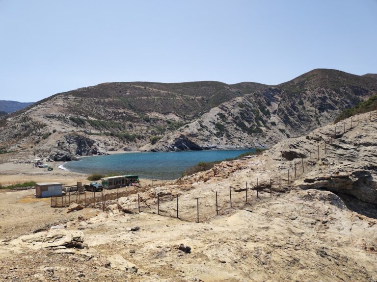
On the eastern edge of Pera Galini beach, there is a small cape known as Kefali Soudas. This area is home to the ruins of a Minoan settlement, believed to have been one of the most significant ports in the Talea Range region.
At Kefali, you will notice ongoing excavations covered with plastic sheets that resemble greenhouses. These excavations have uncovered a sanctuary, and it is believed that the settlement was destroyed by an earthquake. Please note that entry to the fenced archaeological site is not allowed.
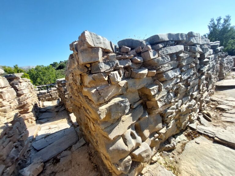
The ancient site of Zominthos can be found in the Psiloritis range, 7km west of Anogia, on the road leading to the Nida plateau. Discovered in 1982, Zominthos is considered one of the most significant archaeological finds in Crete, often compared to Knossos.
During archaeological work in the cave of Ideon Andron (1982), archaeologist Yiannis Sakellarakis spoke with a local shepherd who mentioned the name Zominthos. Sakellarakis immediately realized that this name referred to an ancient location and visited the site the next day, where he quickly identified traces of a Minoan mansion.
Excavations are still ongoing, conducted by the Greek Archaeological Service and the University of Heidelberg. So far, archaeologists have uncovered a large, luxurious building covering an area of 1360 square meters, constructed from local stone and consisting of around 80 rooms. The two- or three-story building had walls plastered with clay for insulation and adorned with murals. A smaller Mycenaean building has also been discovered nearby. It is remarkable that such a large complex existed at an altitude of 1200m, although it is believed to have been closed during the winter months due to snow.
The building was constructed around 1900 BC, reached its peak in 1600 BC, and was destroyed in 1400 BC, likely by an earthquake. Zominthos was undoubtedly one of the most prominent Minoan settlements and is thought to have been a station for Minoans visiting the sacred cave of Ideon Andron. Indeed, Zominthos is situated on the ancient trail that began at Knossos, passed through the gorge of Kroussonas, Livadi Plateau, and then through Zominthos, where a sacred spring was located (at the site of the current church of Saint Marina). According to Homer, King Minos visited Ideon Andron every nine years to receive laws for his people. Thus, Zominthos may have also been built to accommodate Minos during his visits to the cave.
However, Zominthos also appears to have served as a financial and organizational center for trading the famous Cretan cypress, as well as the popular agricultural products and livestock of the Ida Range. It is no coincidence that scripts from Knossos mention thousands of sheep, which likely originated from Ida.
Archaeologists are working to reconstruct the physical environment in which Zominthos was situated. This task is relatively easy, as there has been no human presence for centuries, and the natural environment has remained intact. Additionally, within the archaeological site, a large hawthorn tree has been officially declared a monument of nature.
No results available
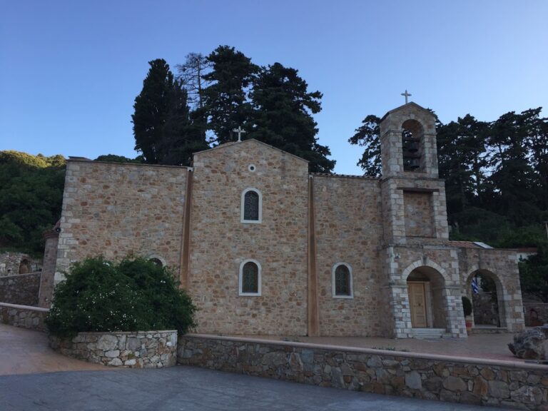
Located near Rogdia, the Savatiana or Savvathiana Monastery is nestled in a picturesque, well-protected wooded area at an altitude of 440m and 20km west of Heraklion city. The monastery is one of several that operated during the Venetian period in this region, which was later brutally destroyed by the Turks.
The Savvathiana Monastery was constructed on a naturally fortified position, possibly to shield the monks from persistent pirate attacks before the Venetian period. During the Venetian Occupation of Crete, it was likely the most robust monastery in the area, even more so than the renowned Agia Pelagia Monastery on the north side of Agia Pelagia beach, which later became a dependency of Savatiana.
A stunning path, enveloped in lush vegetation, leads to the monastery entrance. Just 200m from the monastery, you can visit the cavernous St. Anthony church, which may have once functioned as an independent monastery. The church features a newer aisle devoted to Saint Savvas and is accessible via a picturesque trail with a very old stone bridge. The main temple of Savatiano, dedicated to the Nativity of the Virgin Mary and the Forty Martyrs, is relatively new. The monastery has undergone renovations in recent years while maintaining its original style. Within the complex, visitors can also see the monastery cemetery, ossuary, a former mill, the visitors’ dining room, the old guest room, the nuns’ cells, and the old water tower.
Currently operating as a nunnery, the monastery houses the ancient “Great are You, Lord” icon painted by Ioannis Kornaros, and a copy of which is still preserved in Toplou Monastery. The icon was thought to be lost until 1991 when the Archaeological Authorities cleaned a pitch-black icon to reveal the old painting.
Among the monastery’s abbots was Maximos Marnounios, a renowned scholar of the Venetian Era. Additionally, the tombs of two significant rebels against the Turks, Evmenios Vourexakis and Iraklis Kokkinidis, can be found in Savatiana.
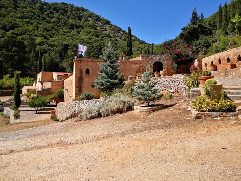
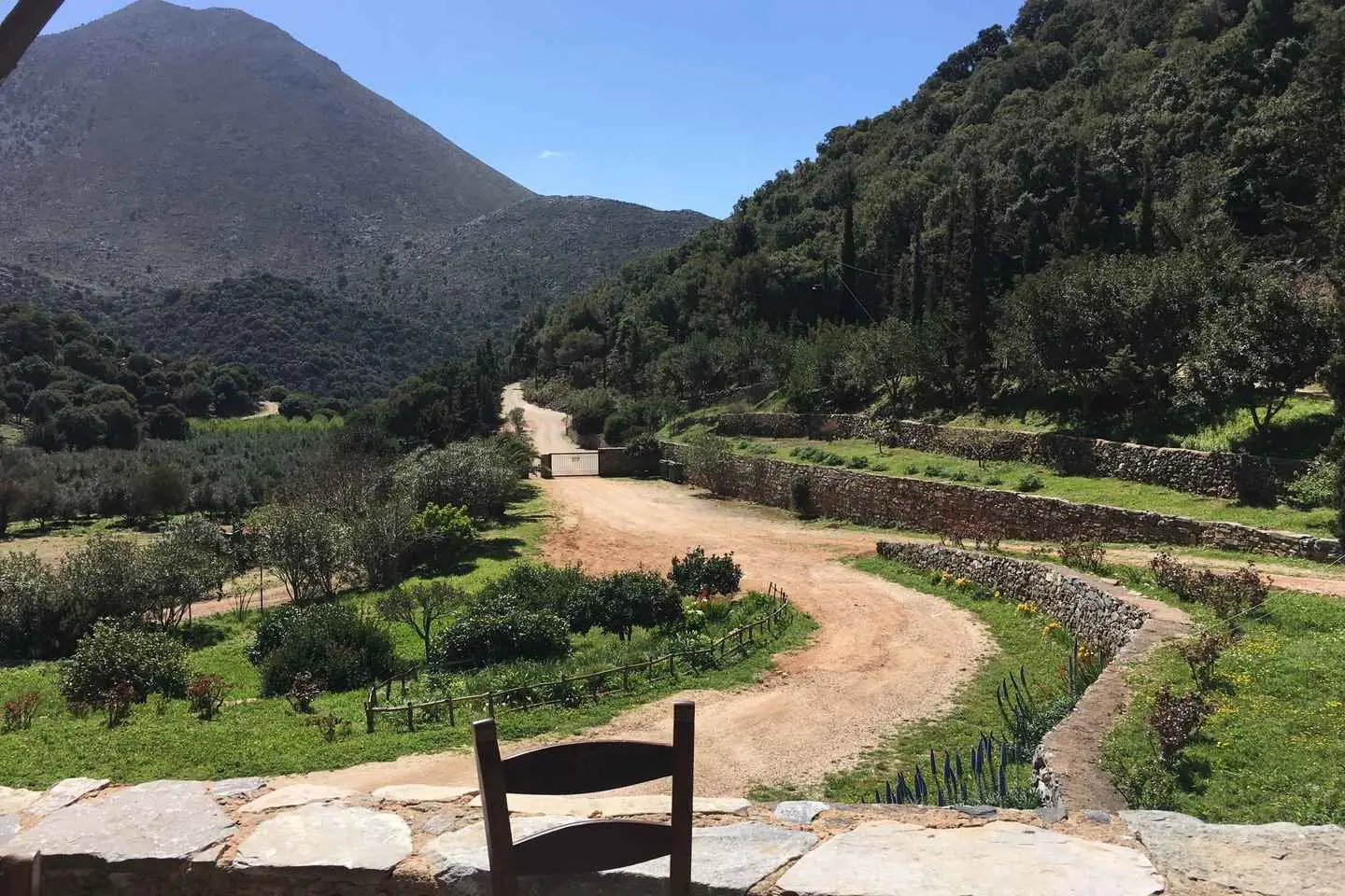
The Holy Cross Monastery (Timios Stavros) in Vosako is situated on a small plateau amidst the peaks of Koutroulis and Mesokofinas in the Talean Mountains, approximately 50km east of Rethymno. To reach the monastery, visitors can drive through the village of Doxaro, where they will be greeted by the stunning, rugged landscape. Alternatively, there is another route that begins in the village of Sisses.
The name Vossako is derived from the Greek words “vous” (buff) and “sakos” (fold), which translates to “cattle pen.” This is likely because the plateau was once used to feed cattle.
Constructed like a fortress, the monastery’s main temple (Katholiko) is dedicated to the Holy Cross. During celebrations, pilgrims embark on a challenging trek to the monastery from Kalo Horafi, near Panagia Charakiani in Bali, which takes around 2-3 hours.
Up until the late 20th century, the monastery lay in ruins and was completely abandoned. However, it has since been restored and now functions normally. The buildings are spread across two levels and feature two courtyards, with the main temple located in the southern courtyard. A beautiful Venetian fountain can be found outside the temple, while the main entrance is quite impressive.
Historically, the monastery played a significant role in the revolution against the Turks, leading to its destruction by them on two separate occasions.
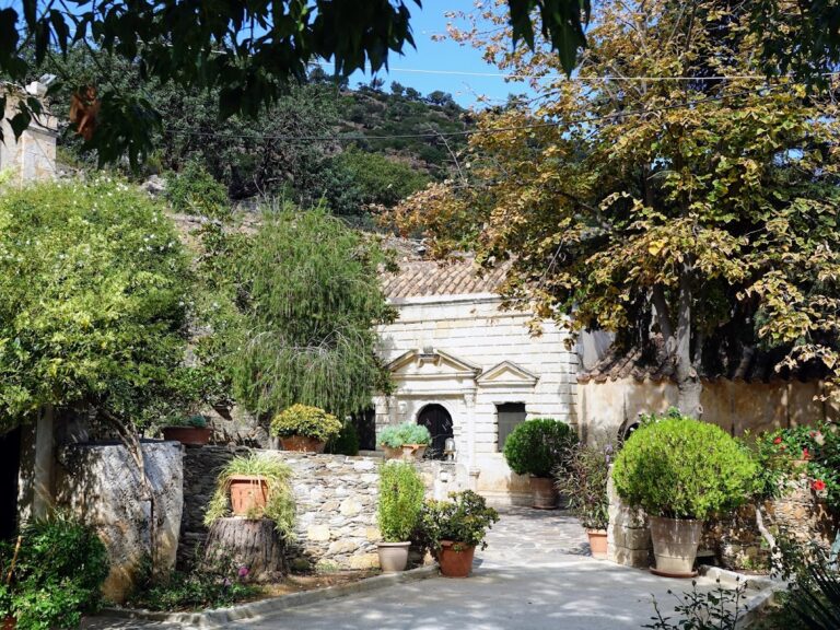
Attali Monastery, also known as Bali Monastery, is situated on the hill of Agia Ypakoi, to the west of Bali, offering stunning sea views and easy access to the main road connecting Rethymnon and Heraklion. Before the highway was built in 1970, the area was quite isolated, allowing monasticism and asceticism to thrive.
This male monastery is dedicated to Saint John the Baptist and features a two-level complex. Near the grand entrance, you’ll find the stables, and as you explore further, you’ll come across the old mill, a pottery workshop, a bakery, the monks’ cells, and the refectory adorned with frescoes.
Unlike most Cretan monasteries, the church is situated on the northeast side of the complex and outside it. To protect the monks from frequent pirate attacks, a heavy door was installed to isolate the stairs leading to the temple, creating a fortress-like structure. However, the temple remains outside of this protective barrier.
The Bali area has been significant in local history due to its bay being a crucial point for supplying rebels with ammunition and communication with liberated Greece. The Turks attempted to occupy the area multiple times, causing severe damage to the monastery. Interestingly, there is another monastery named Bali in Sifnos, where it is believed that the monks of Attali transferred the sacred icon of Our Lady to protect it from Turkish hands.
Although one of the lowest peaks in the Talean Mountains of Rethymno, the summit of Apakoui holds great archaeological significance. It is strategically located above Bali, offering unobstructed views of the sea, Pyrovolopetra (the port of ancient Astali), and the plains of North Milopotamos. The name Apakoui is derived from the Virgin Mary Gorgoepikoos, who is said to listen to prayers.
On the summit of Apakoui, you can find scattered broken pottery and the remnants of old walls on a small artificial plateau, which is all that remains of the chapel of Virgin Mary Gorgoepikoos. The church, built during early Christian times, was later destroyed, but its name lives on. A rough wooden cross stands nearby, signifying the area’s sacredness. The chapel was constructed on the site of a former Minoan Peak sanctuary, believed to have been the sanctuary of Astali. On the hill’s north side, a portion of the trail connecting Eleftherna to ancient Astali remains. The east side of Apakoui features a stone fountain that supplies water to Atali Monastery. However, the ascent to the summit is steep, dangerous, and the old path is damaged.
The monastery of St. John is home to the church of Panagia Charakiani, located just off the highway. According to tradition, a shepherd discovered the miraculous icon of Panagia in a cavernous rock (charaki). This icon is kept in the monastery and moved to Charakiani during August. Locals used to stay in reed huts for the first 15 days of August, leading up to the celebration of Panagia on August 15, though this tradition has declined in recent years. To the west of the church, you can find the blazon of the Kallergis family, the most influential Cretan family during the Venetian period.
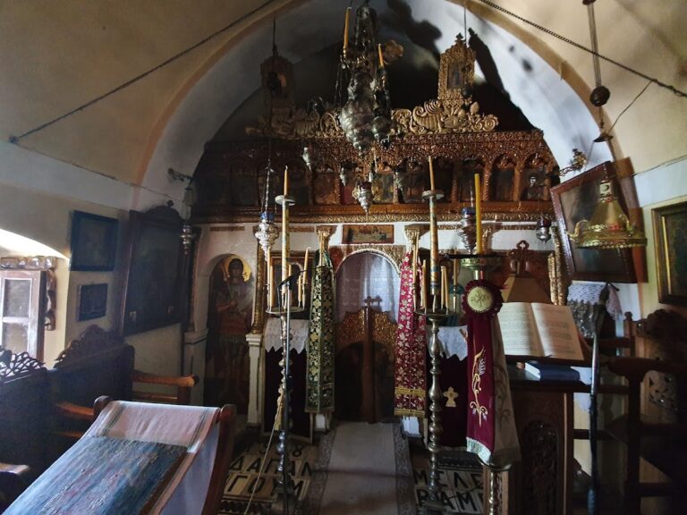
Located 43km east of Rethymnon, the Diskouri Monastery is regarded as one of Crete’s oldest monasteries, with the nearby ornately adorned Byzantine church of Saint John the Baptist attesting to its age.
Currently owned by the Halepa Monastery, the complex is thought to have been constructed on top of an ancient temple of Dioscuri, though this has yet to be confirmed. It took on its present form during the final years of Venetian rule when it resembled a fortress.
The church of Saint George sits at the center of the courtyard, and its old icon of Saint George is well-known among Cretan herders who swear on it when accused of stealing animals.
Having been severely damaged by the Turks and the unsightly interventions of the 20th century, the monastery has significantly changed from its original form. Bishops Parthenios and Meletios, as well as Arkadi Monastery’s chieftain Paul Dedidakis, were laid to rest in the courtyard.
No results available
No results available
No results available
No results available
No results available
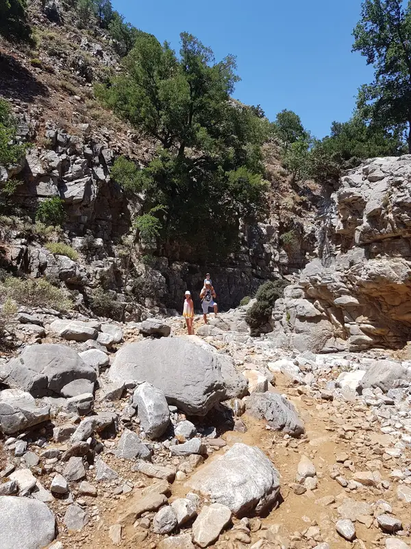
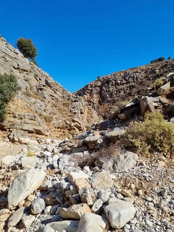
The Zoniana canyon is situated to the south of Zoniana village within the Psiloritis Range. It begins at a height of 950m, gathering water from several streams that flow from the Zoniana mountains, and concludes at the village at a height of 650m. The “serpentine” river Oaxis, which carries water until spring and ultimately drains into the Geropotamos river, flows through this gorge.
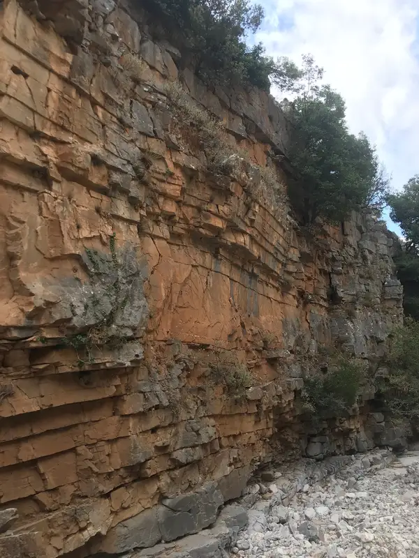
This gorge is not only easily accessible but also safe for hiking due to its gentle slope. The rock formations in many areas are truly remarkable, made up of numerous layers, and there are stunning geological structures and trees clinging to the steep slopes and narrow points. As it nears the village, the canyon broadens and morphs into a slender valley.
Margarites is a renowned village in the Milopotamos province, celebrated for its stunning architecture and traditional pottery. The broader region, encompassing the villages of Margarites, Orthe and Eleftherna, is characterized by a sequence of small, parallel gorges. Tiny watercourses like Margaritianos meander northwards, contributing to the Geropotamos River. These gorges are carved into the white-yellow marly limestone from the Upper Miocene era (8-10 million years ago), a result of the area’s uplift and water erosion.
The gorges’ most striking features are their abundant flora and extraordinary environment. Small groups of horizontally branched cypresses (Cupressus sempervirens var horizontal) blend with low shrubs, wildflowers, and aromatic plants. The local authorities have fashioned small trails that reveal the area’s beauty to visitors.
The Platania Gorge, positioned above the Platania village, links the southeast slopes of the Psiloritis range to the Amari valley, approximately 38km southeast of Rethymno. The river flowing through it collects water from the west of the Migia (1584m) and Spathi (1779m) peaks and channels it to the River Platys, which terminates in Agia Galini. A challenging yet secure trail winds its way up to the starting point at Kokkinoharako, skirting its steep slopes. The trail provides hikers with breathtaking views of the towering cliffs, vertical limestone rocks displaying yellow-red hues of erosion, rock shelters, and numerous caves.
At roughly 800m altitude, a small plateau hosts the cave-like church of Saint Anthony (Agios Antonios), constructed near a spring. The trail from Agios Antonios continues its ascent northwest, meeting a dirt road originating from the Vistagi village. On the opposite side of the gorge, in the east, lies the Panas cave, named after the ancient god Pan, god of the wild, shepherds, and flocks, who, as per local folklore, was born here. The cave houses petroglyphs from the Minoan era, indicating continuous worship at the site. The same dirt road from Vistagi provides access to the nearby church of Saint Mammes (Agios Mamas), the patron saint of shepherds in Christianity.
The Platania Gorge’s interior is stunning, though few get to witness it due to its steep waterfalls, which require technical canyoning equipment to navigate. The tallest waterfall stands at approximately 40m. The first known crossing of the gorge was in 2008 by the canyoning group of Giannis Bromirakis and Christoforos Cheiladakis. The cliffs provide a nesting habitat for various bird species, including vultures, hawks, wild pigeons, and crows.
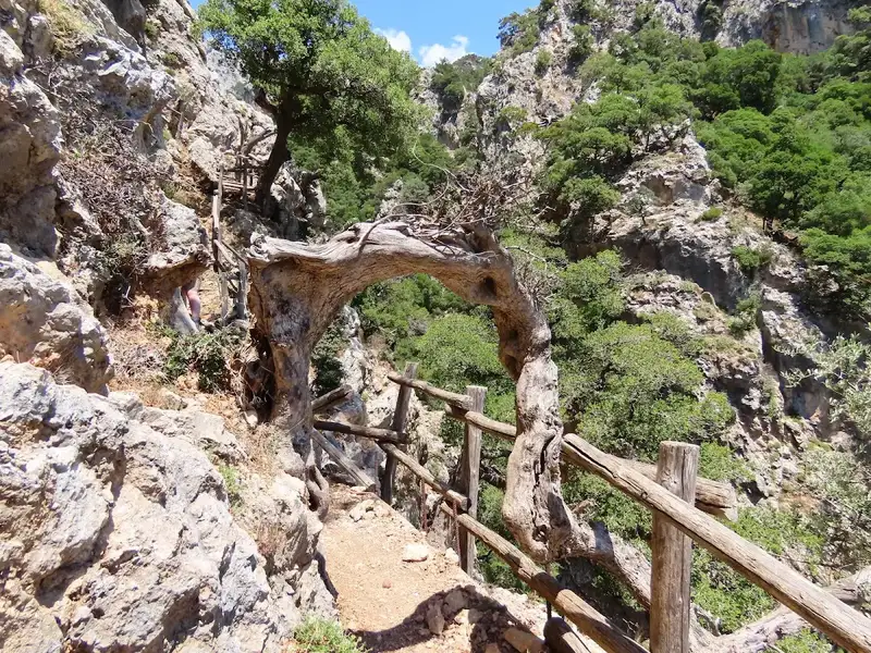
Arkadi Gorge is a moderate 4.5 km hike in the Rethymno region of Crete that starts just north of Arkadi Monastery and takes about 2 hours to walk. The route follows the eastern bank of a green, rocky ravine, ends near the village of Pikris where it meets the Gypofarago gorge, and pairs naturally with a visit to the historic monastery above it. There is no entrance fee and no facilities on the trail, so you carry your own water and food.This guide covers what the gorge is, how hard it is, how to reach the trailhead, what you see along the way, how to combine it with the monastery, and what to pack.
No results available
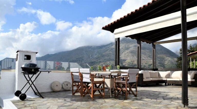
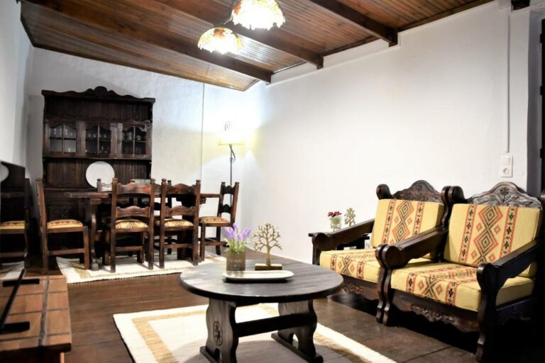
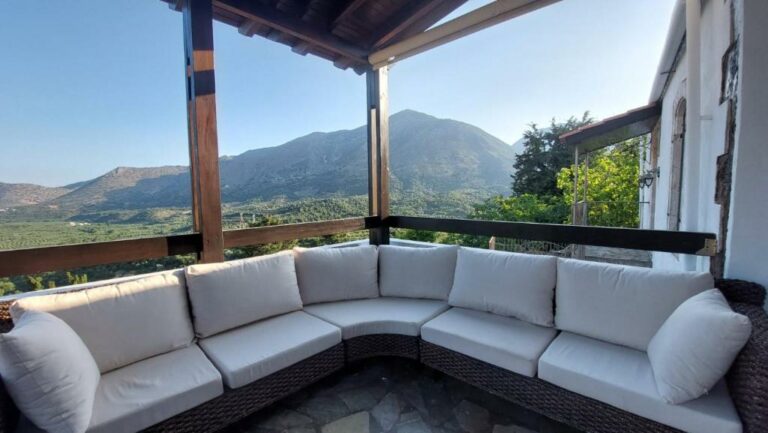
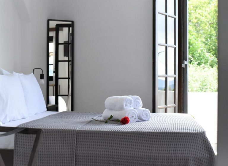
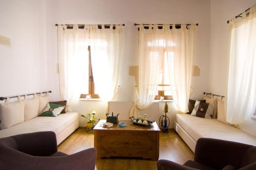
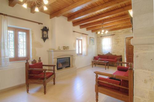
Located in Garazo, 22 km from Museum of Ancient Eleftherna and 37 km from Archaeological Museum of Rethymno, Lale’s House provides air-conditioned accommodation with a balcony and free WiFi. With garden views, this accommodation offers a patio.
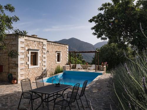
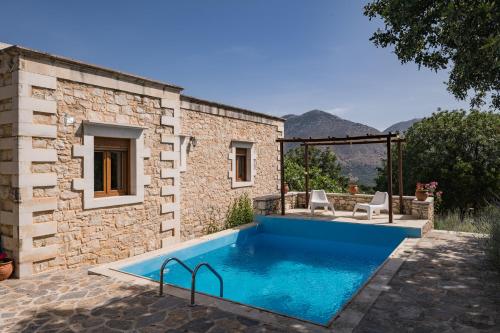
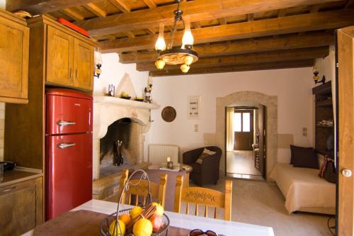
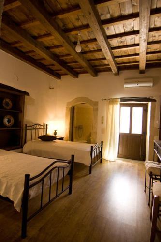
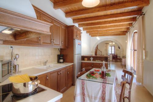
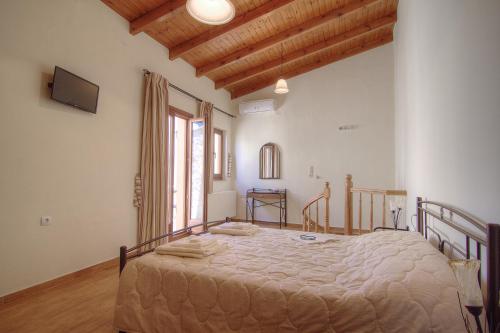
The villa with a terrace and mountain views features 5 bedrooms, a living room, a flat-screen TV, an equipped kitchen with a dishwasher and an oven, and 2 bathrooms with a bath. Towels and bed linen are featured in the villa.
The villa offers a barbecue. A an indoor play area is also available at Lale’s House, while guests can also relax in the garden.
Venetian Walls is 48 km from the accommodation, while Heraklion Archaeological Museum is 49 km away. The nearest airport is Heraklion International, 51 km from Lale’s House, and the property offers a paid airport shuttle service.
from
€89
/night
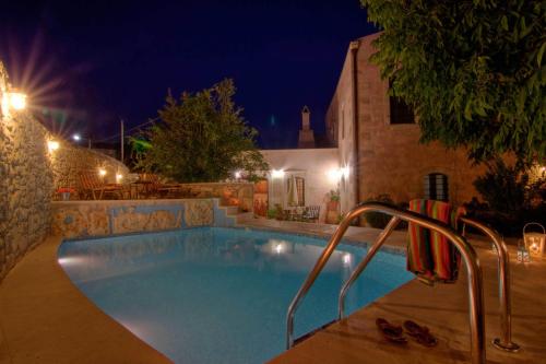
Koules Estate, simplicity & natural, By ThinkVilla features pool views, free WiFi and free private parking, located in Argoulión, 22 km from Museum of Ancient Eleftherna.
The villa provides guests with a terrace, mountain views, a seating area, satellite flat-screen TV, a fully equipped kitchen with an oven and a microwave, and a private bathroom with shower and a hair dryer. A toaster, a fridge and stovetop are also featured, as well as a coffee machine and a kettle.
Koules Estate, simplicity & natural, By ThinkVilla offers a picnic area.
If you would like to discover the area, cycling and walking tours are possible in the surroundings and the accommodation can arrange a car rental service.
Archaeological Museum of Rethymno is 37 km from Koules Estate, simplicity & natural, By ThinkVilla, while Venetian Walls is 48 km away. The nearest airport is Heraklion International, 52 km from the villa, and the property offers a paid airport shuttle service.
from
€142
/night
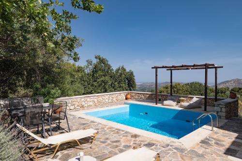
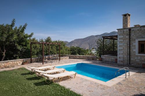
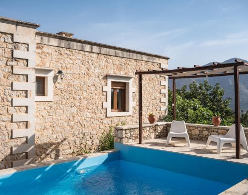
Boasting air-conditioned accommodation with a private pool, pool view and a balcony, Eleni’s Stately Home, picturesque location, By ThinkVilla is situated in Garazo. It has a garden, garden views and free WiFithroughout the property.
The villa features 3 bedrooms, 1 bathroom, bed linen, towels, a flat-screen TV with streaming services, a dining area, a fully equipped kitchen, and a terrace with mountain views.
Staff at the villa are available to provide advice at the 24-hour front desk.
If you would like to discover the area, snorkelling, cycling and fishing are possible in the surroundings and Eleni’s Stately Home, picturesque location, By ThinkVilla can arrange a bicycle rental service.
Museum of Ancient Eleftherna is 22 km from the accommodation, while Archaeological Museum of Rethymno is 36 km from the property. The nearest airport is Heraklion International, 51 km from Eleni’s Stately Home, picturesque location, By ThinkVilla, and the property offers a paid airport shuttle service.
from
€153
/night
Featuring mountain views, Askoutsi Manor, a Natural Tranquil Retreat, By ThinkVilla offers accommodation with a balcony and a coffee machine, around 24 km from Museum of Ancient Eleftherna. This property offers access to a terrace, free private parking and free WiFi.
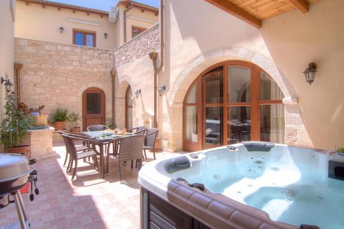
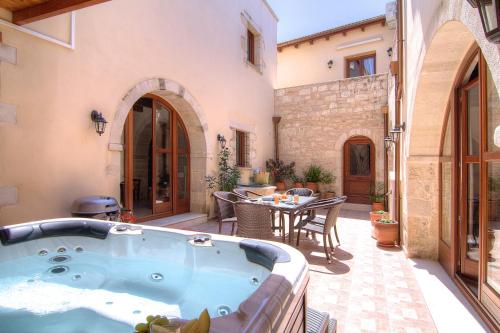
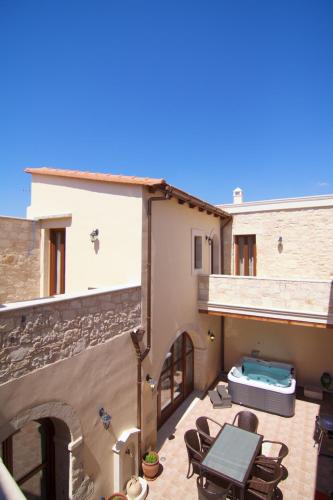
Boasting a DVD player, the holiday home has a kitchen with an oven, a microwave and a toaster, a living room with a seating area and a dining area, 4 bedrooms, and 4 bathrooms with a hot tub and a bath. Towels and bed linen are offered in the holiday home.
The holiday home offers a hot tub. Both a bicycle rental service and a car rental service are available at Askoutsi Manor, a Natural Tranquil Retreat, By ThinkVilla.
Archaeological Museum of Rethymno is 36 km from the accommodation, while Arkadi Monastery is 27 km from the property. The nearest airport is Heraklion International, 55 km from Askoutsi Manor, a Natural Tranquil Retreat, By ThinkVilla, and the property offers a paid airport shuttle service.
from
€94
/night
No results available
Connect with thousands of Crete visitors and boost your bookings.
No results available
© All rights reserved. Crete Locals