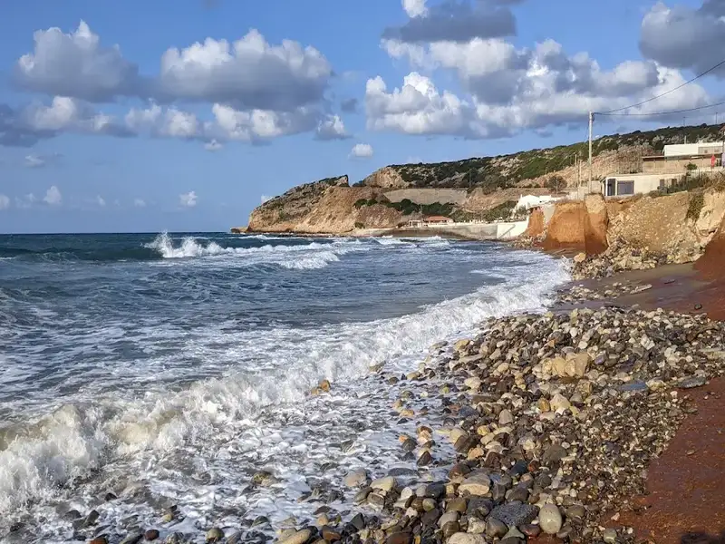
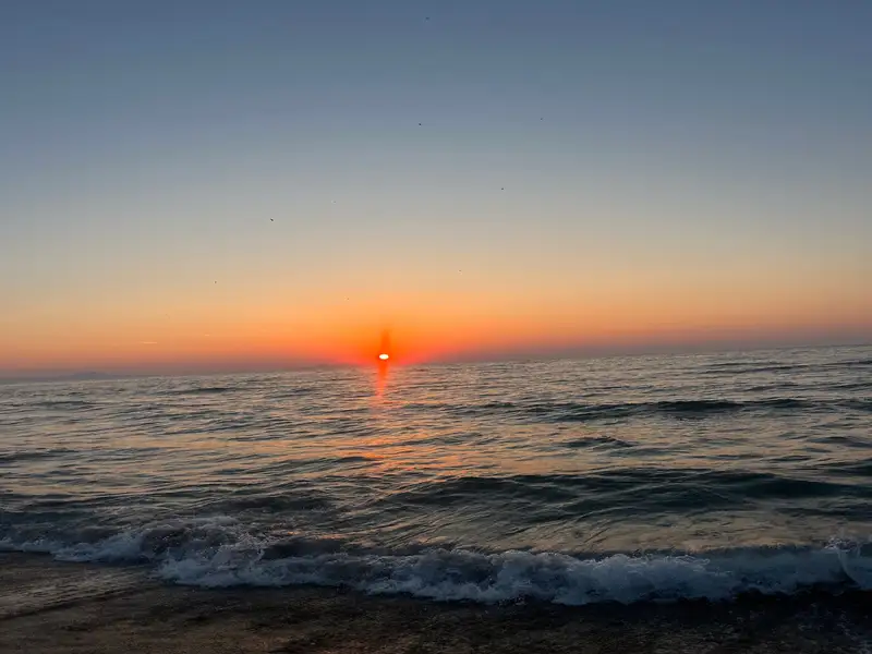
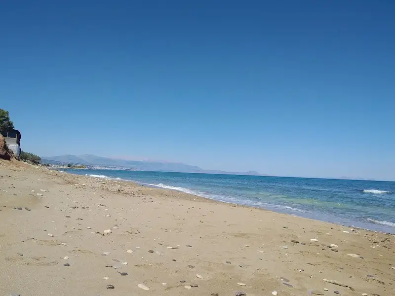
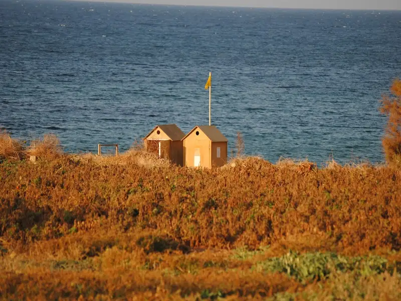
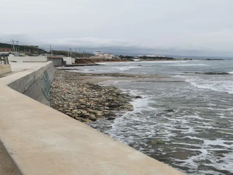
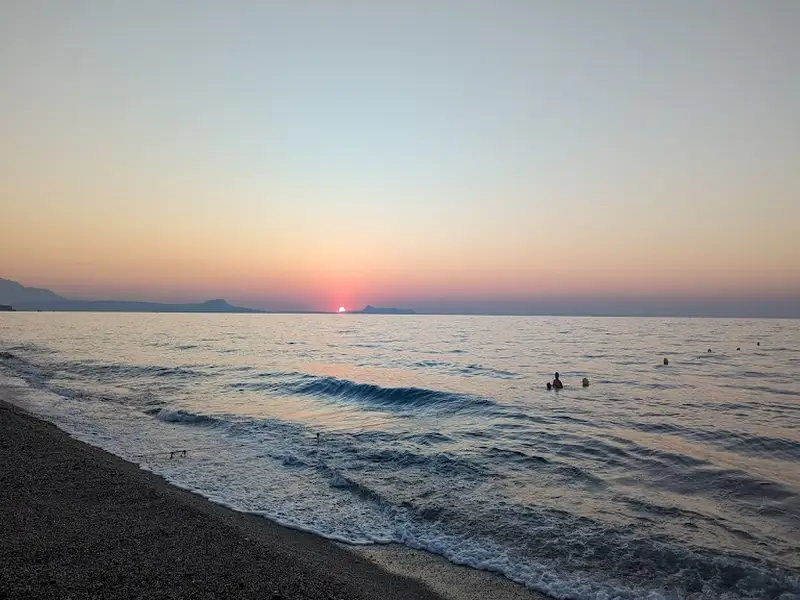
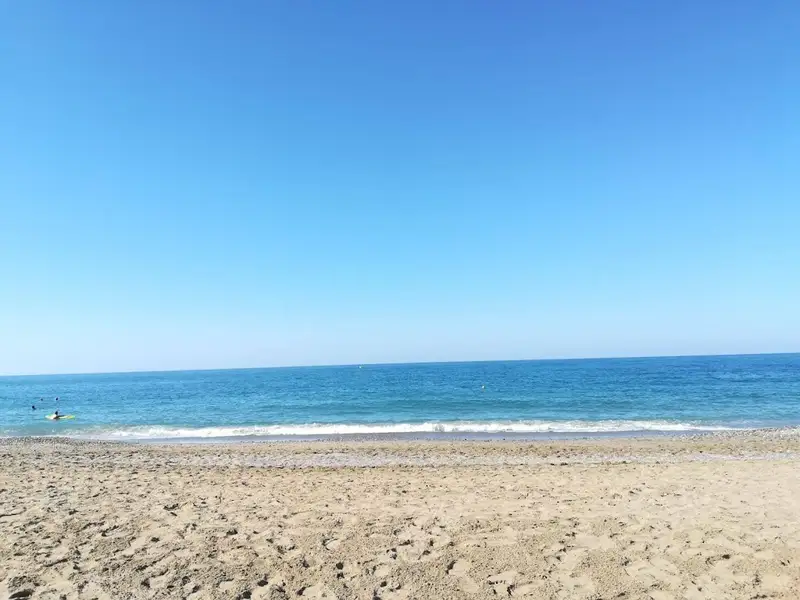
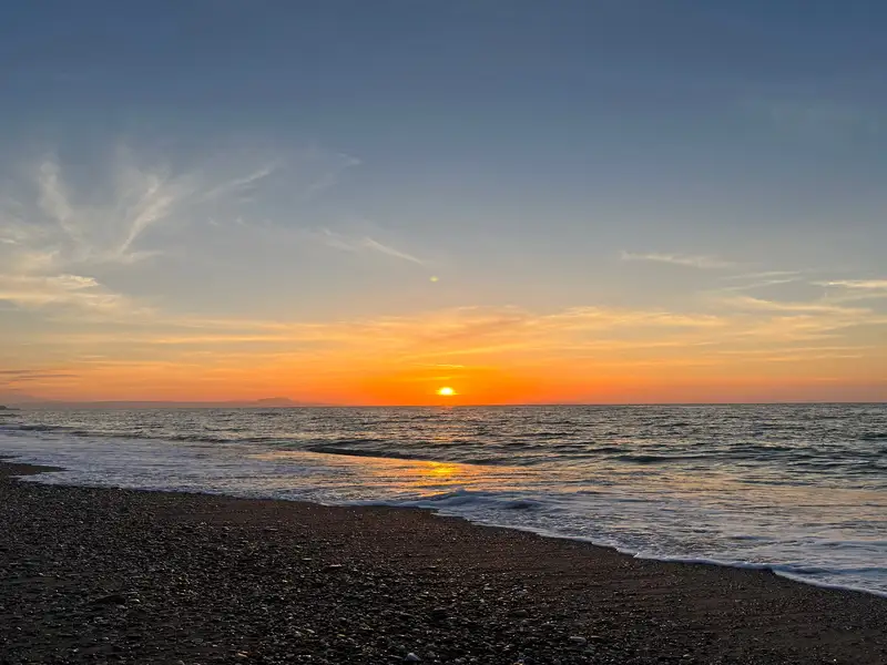
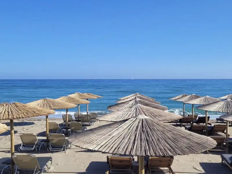
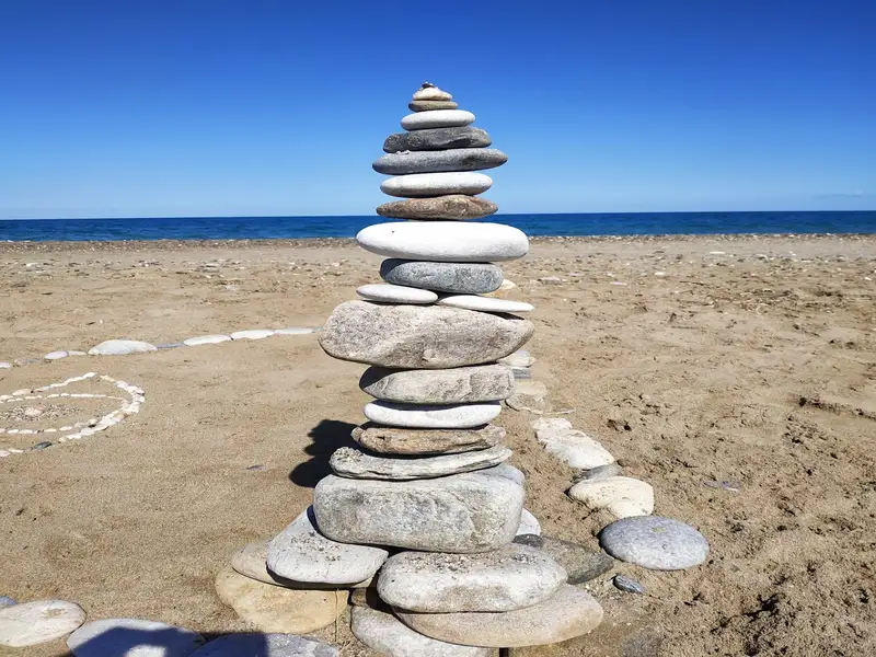
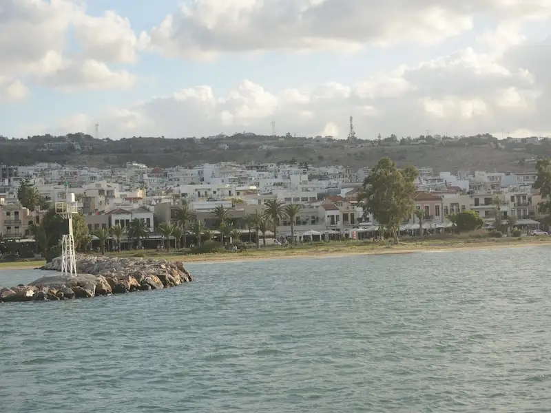
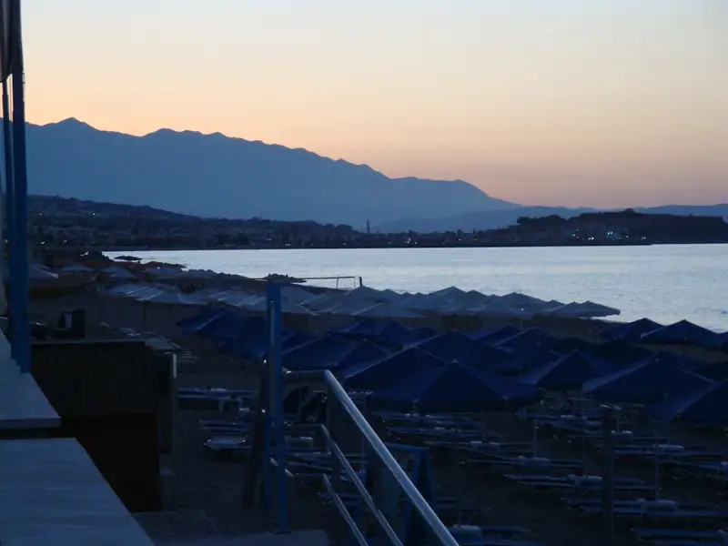
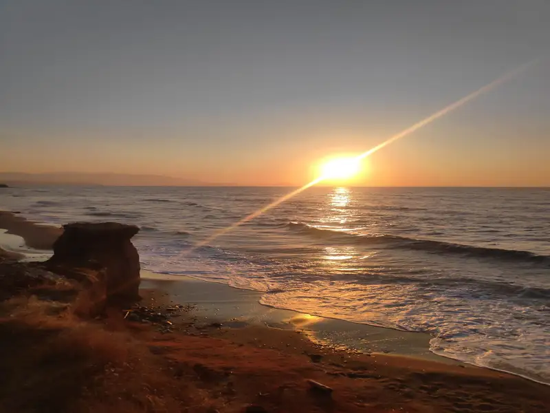
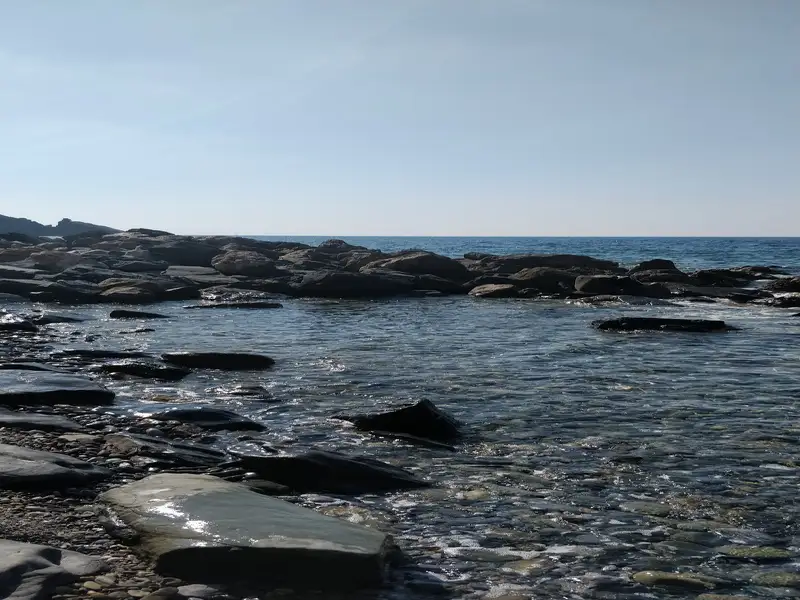
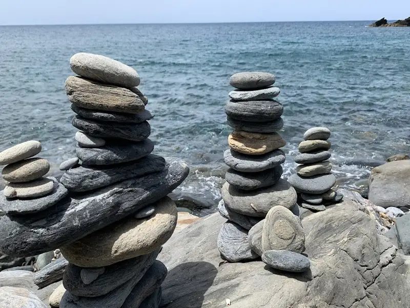
Commencing 11km east of Rethymno and extending 3km eastward is the Skaleta beachfront, marking the end of the expansive beach of the Bay of Rethymno. The first resort you encounter after Pighianos Kampos is Sfakaki, which is exceptionally well arranged.
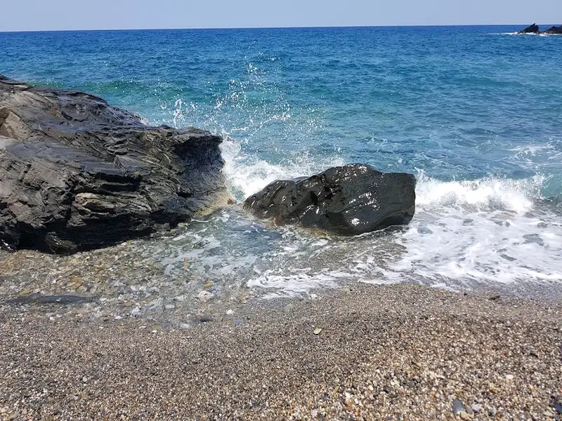
Stavromenos beach is the next stop, just 1km away, named after the area’s synonymous settlement. The beaches here are predominantly sandy and meticulously organized, with spots featuring pebbles and tiny rocks. As you journey eastward, the sandy stretch narrows down and gradually fades until it vanishes at the end of the Rethymno Gulf.
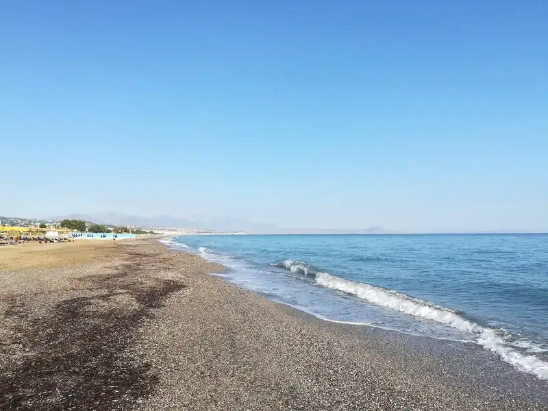
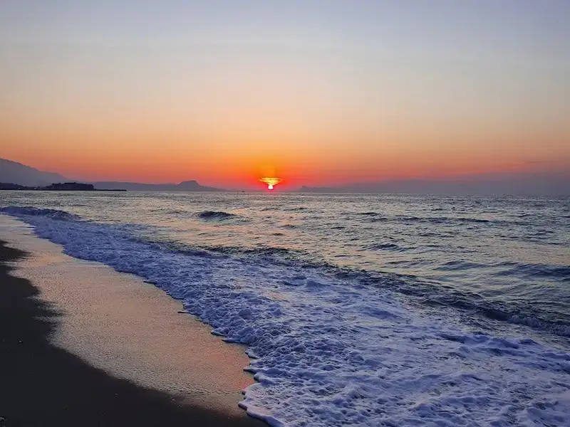
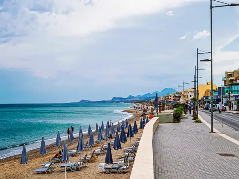
Continuing another 1km, you will reach the final segment of the immense East Rethymnon beachfront, Skaleta. Like all beaches on the north coast, Skaleta beachfront is exposed to the winds and typically experiences waves. The surrounding area has seen considerable development in recent years, now abounding with large hotels and tourist facilities. Regular bus services are available from Rethymno to Sfakaki, Stavromenos, and Skaleta.
From May to September, summer nights bring an extraordinary sight as loggerhead sea turtles lay their eggs in the Gulf’s sand. It’s not uncommon to see small areas of the beach cordoned off and inaccessible to visitors where nests have been spotted.
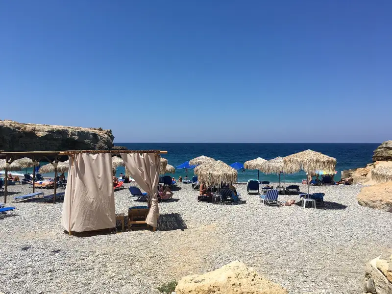
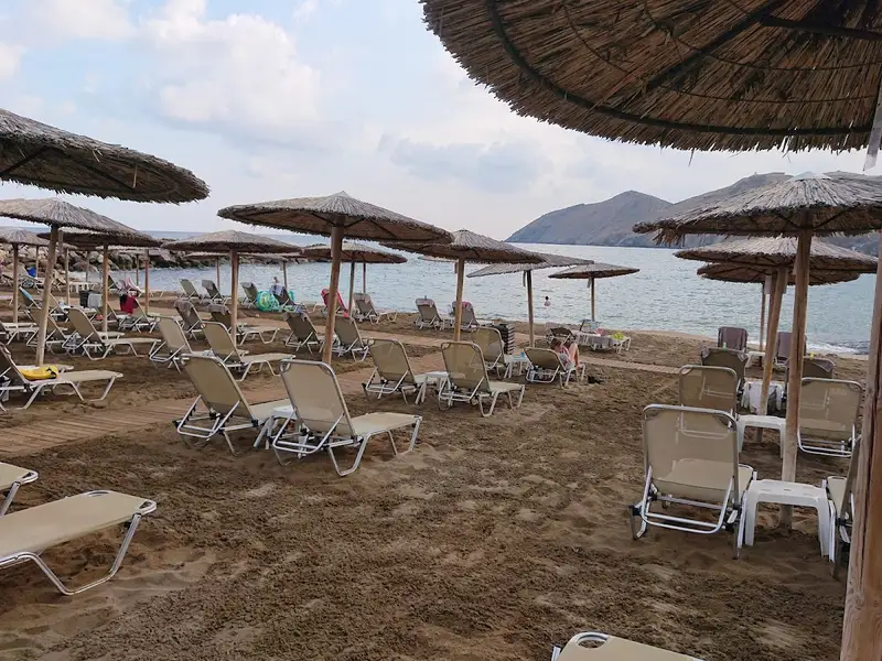
Geropotamos, situated approximately 18km east of Rethymnon and 3km west of Panormo, is named after the eponymous river that empties into the eastern end of the beach. The beach, though small, is marked by its sandy terrain and crystal-clear, cool water, a result of the river that runs throughout the year, forming a small lake near the shore. The beach is minimally organized with umbrellas and a canteen that provides refreshments, coffee, water, and some basic food supplies. A luxurious hotel is also located adjacent to the river. Although easily accessible, the beach remains quiet and uncrowded. However, the orientation of the shore makes it susceptible to northern winds.
Geropotamos’ location on the main road connecting Heraklion and Rethymno makes it easily accessible. You can even reach it by bus by asking the driver to stop at Geropotamos. The area’s importance is underscored by its status as a natural shelter for rare birds and animals, courtesy of the Waterland. West of Geropotamos, the shore is riddled with cavities, home to the rare monk seals (Monachus monachus) and falcons.
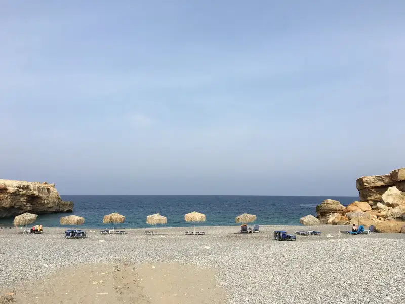
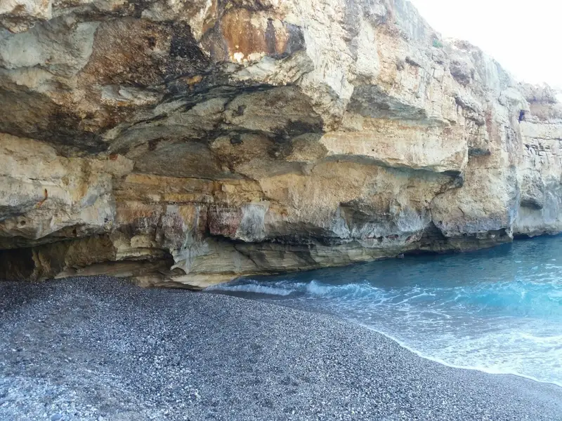
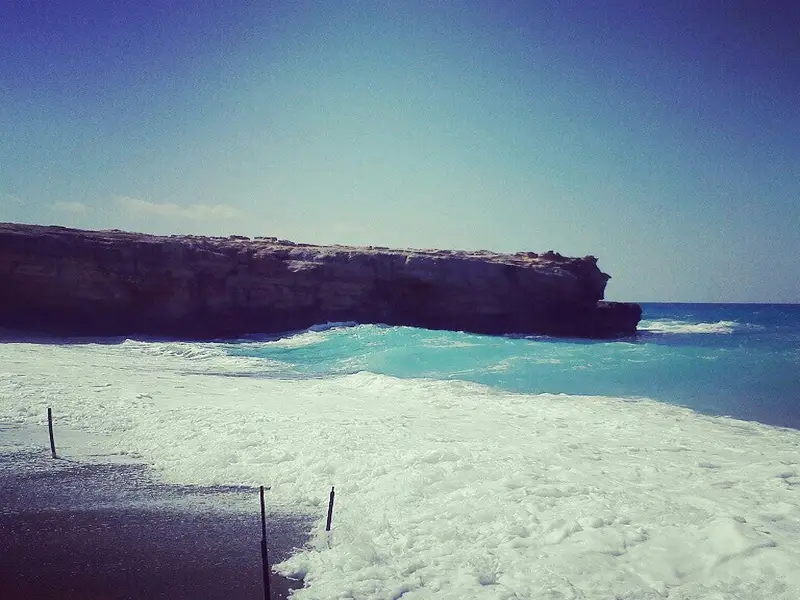
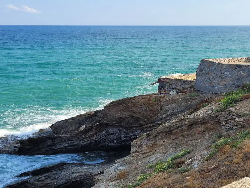
A few meters west of Geropotamos beach, you’ll find an extraordinary rocky arch known as Kamara. Beneath Kamara, there lies a small beach with sand, small pebbles, and crystal blue waters. The beach’s size makes it vulnerable to north winds, with waves almost covering it. However, on calm sea days, it is truly beautiful. The beach, surrounded by vertical cliffs that provide natural shade, is only accessible by boat. A fun activity on windless days is to swim from Geropotamos and snorkel en route.
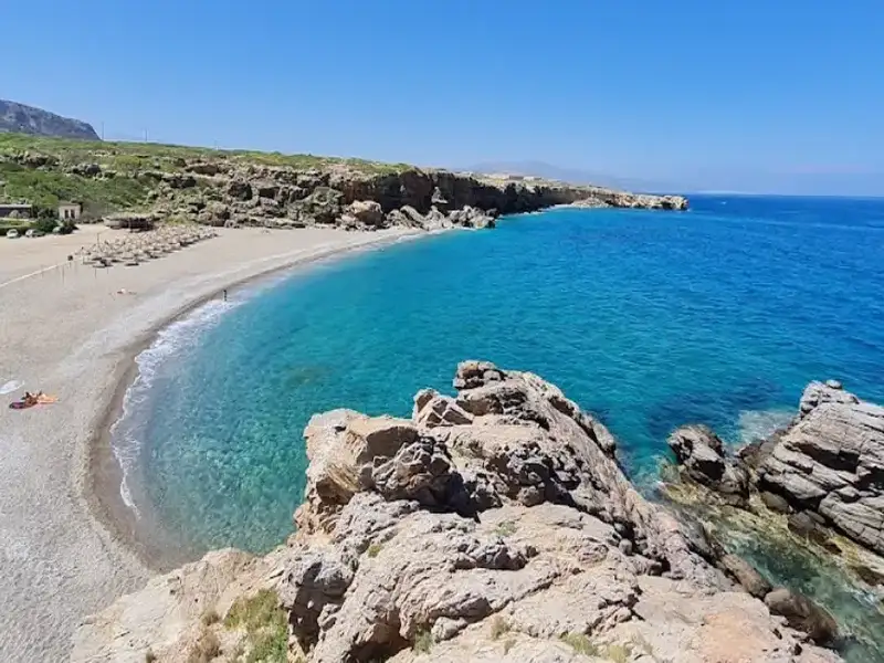
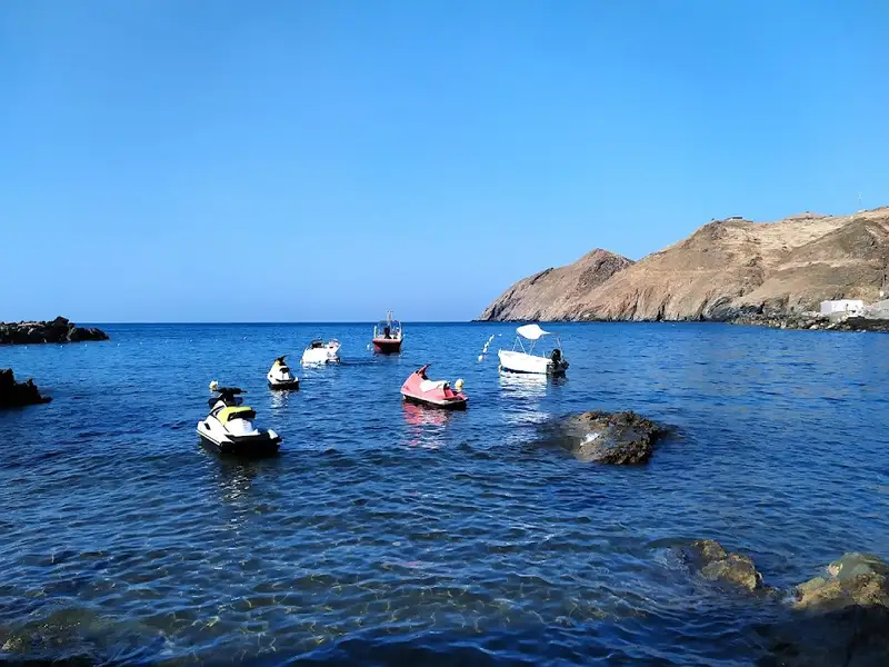
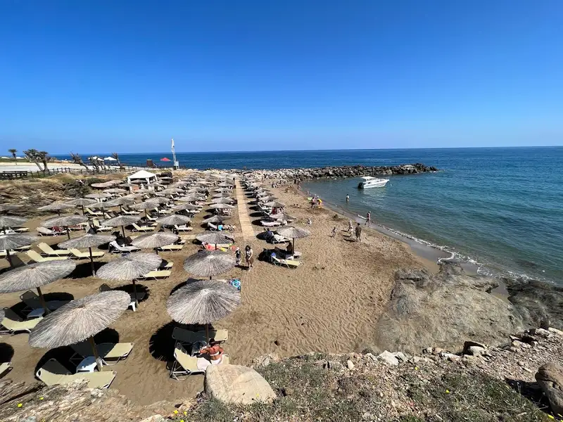
Cape Lianos, the eastern end of Geropotamos beach, also known as the Lavris area, is a rocky cape with a luxury hotel built on it. In front of the hotel, there are some small artificial coves with piers protecting them from waves. Although they appear private, you can reach the coves via a footpath that begins near the Geropotamos beach and heads eastwards, even if you’re not a hotel guest.
The Lianos Cape area, along with the Geropotamos wetland, is protected under the European program “Natura 2000”. It is home to a variety of reptiles, birds, turtles, amphibians, mammals, and plants, some of which are indigenous or endangered.
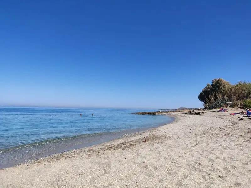
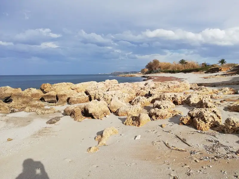
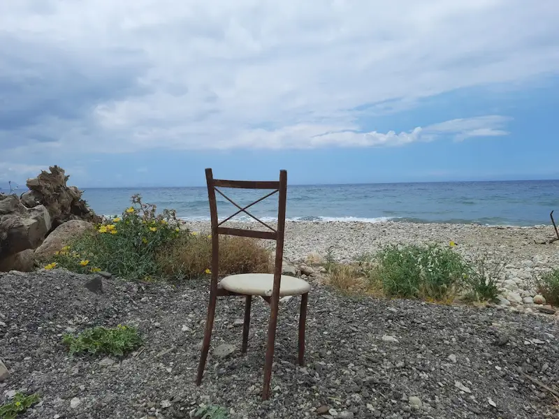

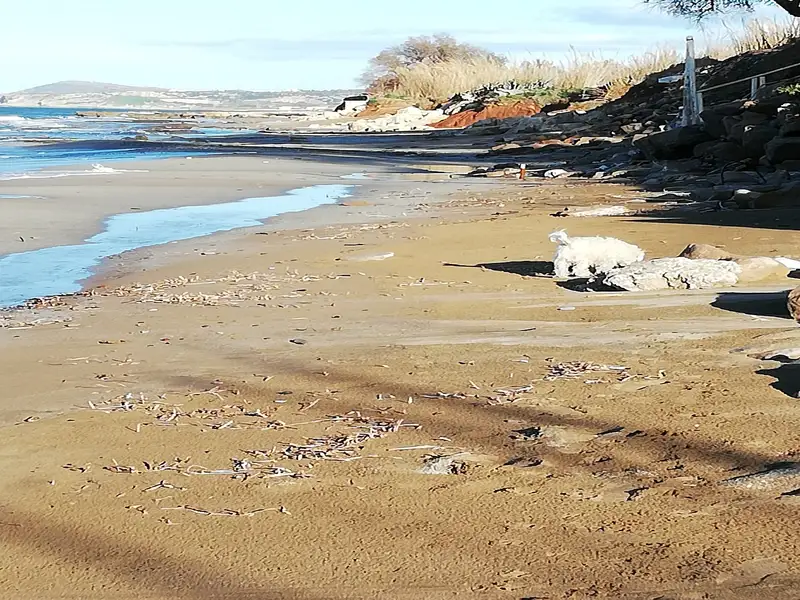
Pigianos Kambos, also known as Pigi beach, is situated 8km to the east of Rethymno, centrally positioned along Rethymno Bay’s extensive beach. The name, Pigianos Kambos, translates to “Plane of Pigi” from Greek, reflecting the fertile fields that belong to the inhabitants of the nearby Pigi village. Today, Pigianos Kambos serves as a coastal tourist destination, albeit less developed than its neighbor, Adelianos Kambos. The area boasts a variety of accommodations, from apartments and rooms to larger hotels, complemented by multiple dining, entertainment, and shopping options.
The beach in Pigianos Kambos offers a peaceful and quieter atmosphere compared to the other beaches in Rethymnon. Between Pigianos Kambos and Stavromenos, visitors can enjoy swimming and snorkelling in the numerous small, rocky coves. A unique feature of Pigianos Kambos is the opportunity to spot protected sea turtle nests, as these creatures choose this sandy beach to lay their eggs.
Regular bus services from the center of Rethymnon make Pigianos Kambos easily accessible.
Adelianos Kambos, also known as Adele Beach, is a seaside suburb of Rethymnon situated 6km to the east on a flat plain. This area, previously used for vegetable cultivation by residents of the adjoining village Adele, has seen considerable development over the past century, becoming an integral part of Rethymnon city. Access to Adelianos Kambos is straightforward, with local buses running regularly from the city centre.
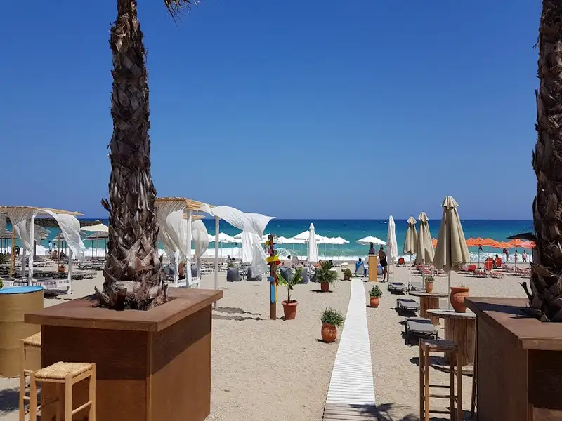
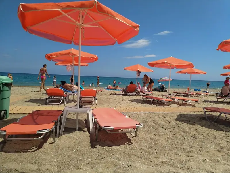
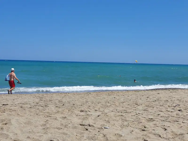
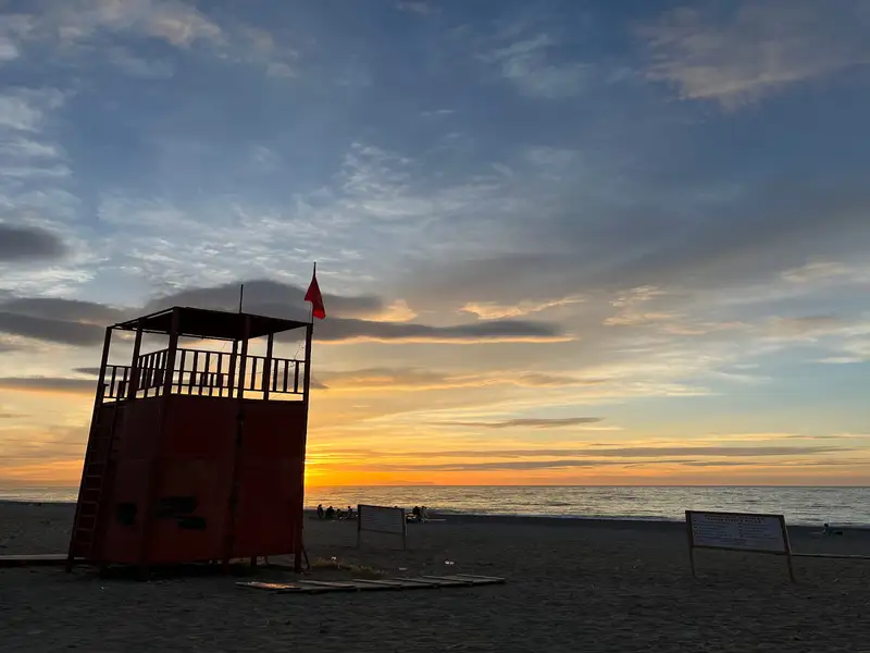
The extensive sandy stretch of Rethymnon Gulf beach begins at Adelianos Kambos and continues to Skaleta. The suburb offers a variety of accommodation options, from large hotels to smaller establishments, and plenty of choices for dining, shopping, and entertainment. The beach is well-equipped with amenities like umbrellas, lifeguards, changing rooms, showers and bars, making it a popular spot for beach sports and water activities. The sea here is typically shallow but can be wavy, a characteristic of all open beaches on the northern side of Crete. An interesting feature of this beach is the sea turtles that lay their eggs here, leading to the occasional sight of marked nests protected by ropes and signboards.
Panormo, located approximately 20km east of the city of Rethymnon in the Milopotamos province, is a peaceful coastal village. It has experienced rapid growth in recent years while preserving its traditional charm. Its attractiveness lies in the untouched beauty of the Cretan countryside, the charming village, stunning beaches, and convenient accessibility.
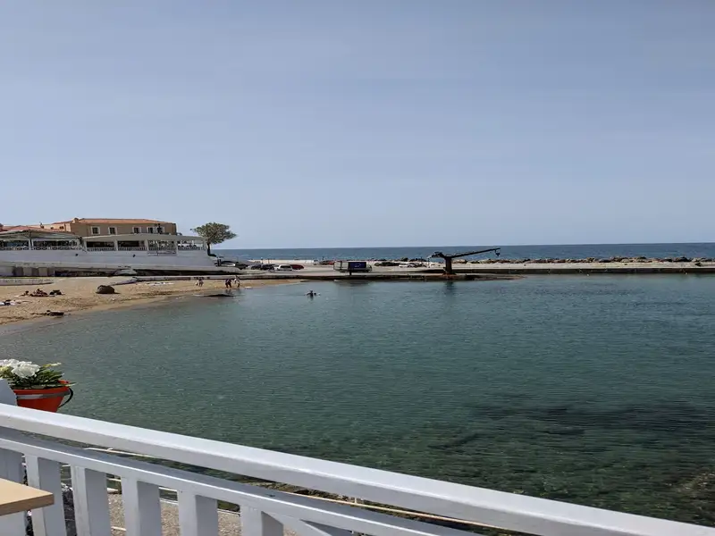
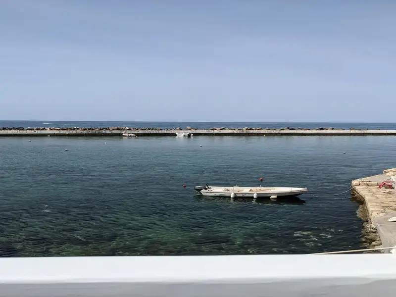
Panormo boasts two primary beaches and several smaller ones. The village’s Greek name, which translates to ‘a location with a natural port’, aptly describes Panormos as it is a natural harbour with tranquil waters. The beach at the harbour, known as Limanaki, serves as the region’s port. It’s sandy, with clear waters, making it perfect for families with young children due to its shallow waters and the protection from waves provided by a cement pier. The beach is well-equipped with umbrellas, showers, water sports facilities, and plenty of accommodation and dining options nearby. Adjacent to Limanaki is a smaller, less populated sandy beach.
The second main beach, Limni, is situated just 200m west of the village. Similar to Limanaki, it is sandy and shielded by a rocky pier, essentially dividing it into two separate beaches. Further east, a small, secluded cove with a pebbly beach is perfect for undisturbed relaxation and snorkelling during calm seas. Panormo can be reached via direct bus services from Rethymnon or suburban bus services between Heraklion and Rethymnon. Excursion boats also operate from the local harbour.
A short history of the area
Panormo is historically significant and is thought to be located on the site of the ancient city of Panormus. The discovery of the impressive basilica of St. Sophia, dating back to the 6th century AD, confirms the presence of an ancient city. The basilica, situated 500m southwest of the village, is considered one of the largest Christian churches in Greece and the biggest in West Crete. The village is also known as Kastelli of Milopotamos, named after the fort built by the Genoese conquerors in 1206, which was later captured by the Venetians. Remnants of this fort can still be seen near the harbour.
In more recent history, Panormo served as a hub for transporting goods produced in the surrounding region, particularly olives and carobs. A renovated old carob mill, now used as a cultural centre, can still be visited. The village was bombed during the German Occupation. The construction of a new national road in the 1970s, adjacent to the village, and the building of a marina in 1980 has contributed to Panormo’s tourism growth. The village celebrates three festivals every year: Ascension, St. John on June 24, and St. Nicholas on December 6.
The suburbs of Pervolia, Missiria, and Platanias, also known as Platanes, are situated 3-5km to the west of Rethymnon city. Initially, these were independent settlements that have now merged into the urban region of Rethymnon, as a result of the residential growth over the previous century.
A vast sandy beach extends in front of these suburbs, forming part of the extensive coastline of Rethymnon Bay. Originating near the Rethymno harbour, the beach stretches eastward for 13km until it reaches Skaleta. This well-maintained beach offers a wealth of options for food, drink, and accommodation.
Just like the rest of the lengthy coastline, this beach also serves as a nesting ground for the loggerhead sea turtle. These turtles are under the protection of the Greek State. Rethymno Bay is counted among the three most crucial nesting sites for this species in Greece, with more than 400 nests reported annually.
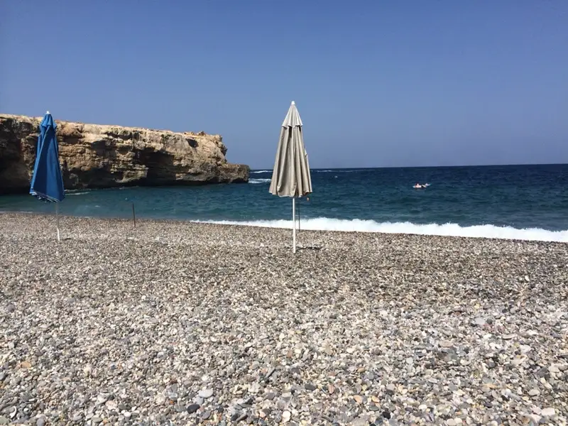
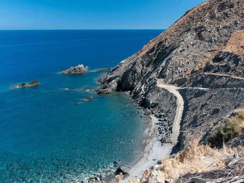
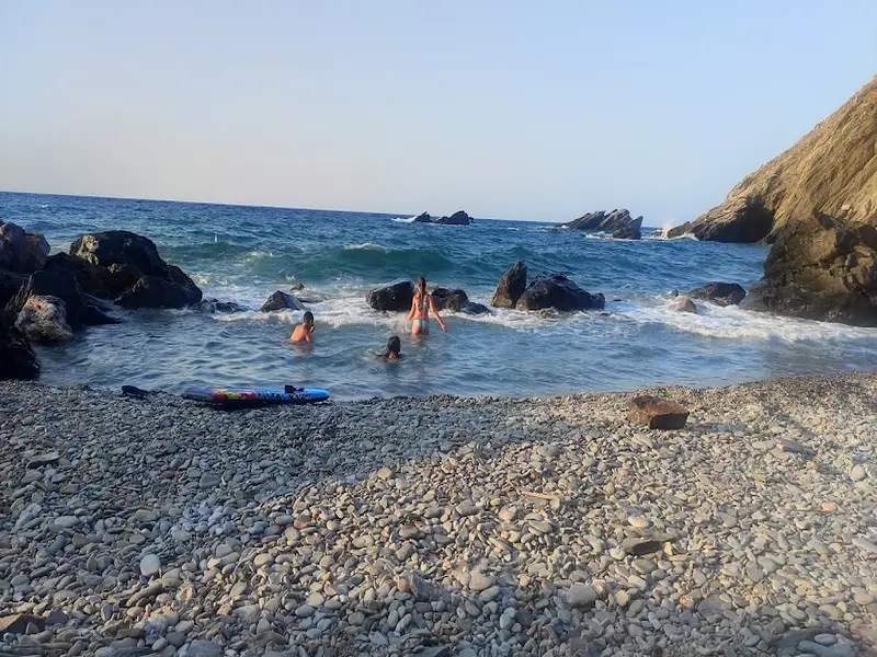
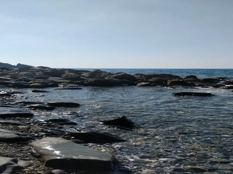
The Skepasti beaches, situated roughly 27km to the east of Rethymnon and a mere 2km eastward from the namesake village Skepasti in the Milopotamos province, are predominantly reachable via poor dirt roads that originate from the village. Among these beaches, the local population’s favourite is Koukistres. The Skepasti beaches, which are exposed to the northern winds, are characterized by their pebbly texture and deep waters. They are entirely unorganized and quite a distance from the closest hotels and eateries, which are located in Panormos. Thus, it’s essential to bring all necessities if you plan to visit. The surrounding terrain, marked by rugged Cretan landscapes and barren, rocky grounds, adds to the remote charm.
While here, it’s recommended to combine beach activities with a trip to the quaint, traditional village of Skepasti. The village derives its name from the Byzantine church of Panagia Skepasti, which has a fascinating legend associated with it that’s worth exploring.
Pervolia, Misiria, and Platanias, also known as Platanes, form a trio of suburbs that adjoin the city of Rethymnon, and are situated 3-5km west of the city. Previously individual settlements, they have now merged into Rethymnon’s urban district due to the growth of residential areas.
A sprawling sandy beach extends in front of these suburbs, forming part of a 13km long coastal strip that begins near Rethymno’s harbour and reaches as far as Skaleta beach. This well-maintained beach offers a wide variety of options for dining, drinking, and lodging. Along this extensive stretch of coastline, loggerhead sea turtles (Caretta caretta) come to nest. These turtles are at risk of becoming extinct, but the Rethymno Gulf stands as one of the three most crucial habitats for the species in Greece, hosting an average of over 400 nests each year.
The name Misiria originates from the Arabic term ‘Misr’, referring to a suburb of Cairo known for its fertile soil. In a similar vein, Misiria is so named due to its productive land, which continues to yield a bounty of vegetables.
Three neighbouring suburbs of Rethymnon, Pervolia, Misiria, and Platanias (also known as Platanes) are situated 3-5km west of the city. Initially independent settlements, they have been subsumed into Rethymnon’s urban region due to expansion in residential development.
A lengthy sandy beach, part of Rethymnon bay’s expansive beachfront, extends in front of these suburbs. The beach begins near Rethymnon’s harbour and continues eastwards for 13km until reaching Skaleta. The beach is well-maintained and offers a wide selection of food, drink, and lodging options.
A notable feature of this beach, like the entirety of the vast beachfront, is the nesting activity of the Caretta caretta sea turtle. These turtles, protected by international law, lay their eggs in the sand. Rethymno Gulf is one of Greece’s three critical habitats for Caretta caretta, with over 400 nests documented annually.
No results available
No results available
© All rights reserved. Crete Locals