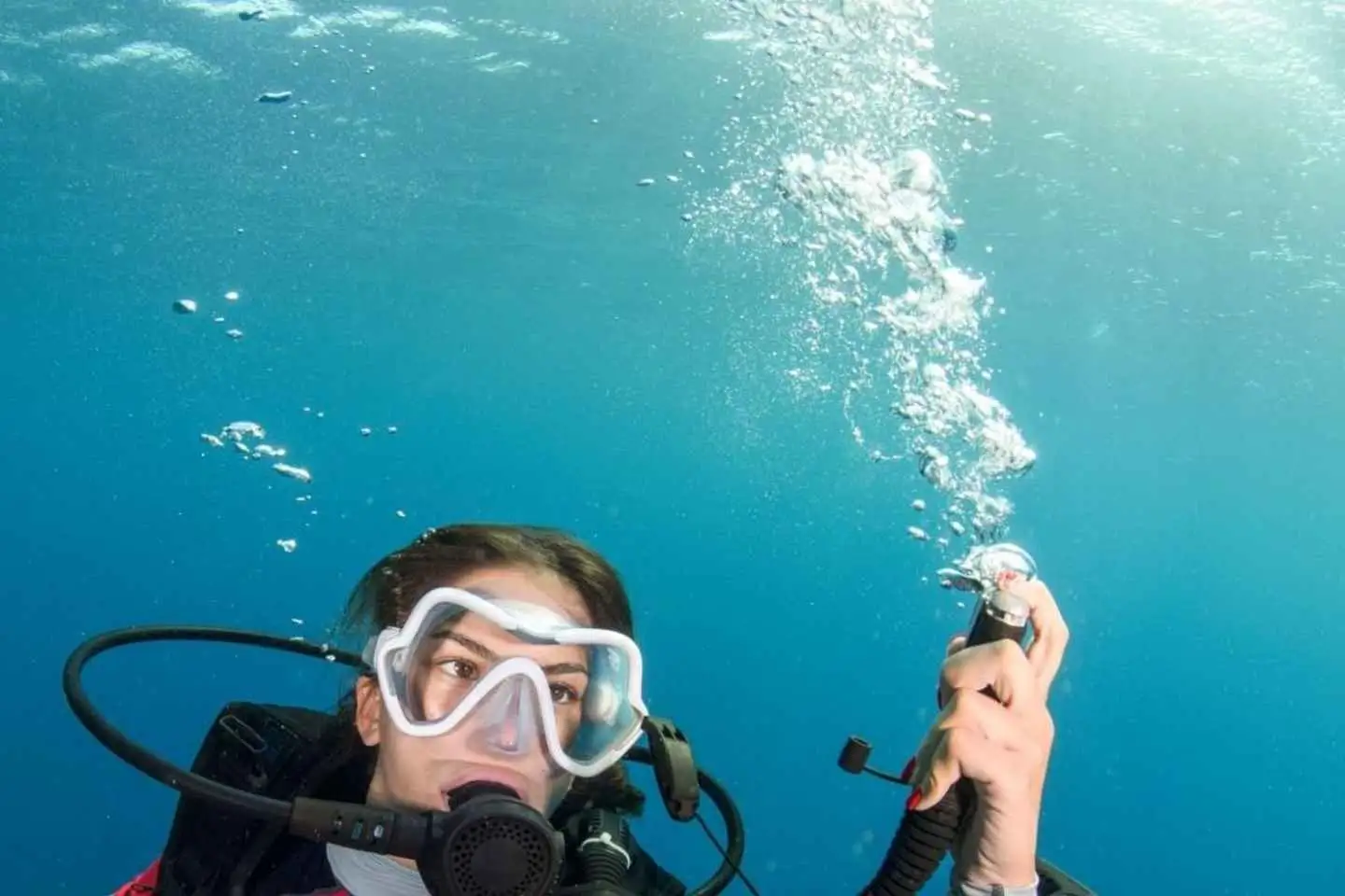
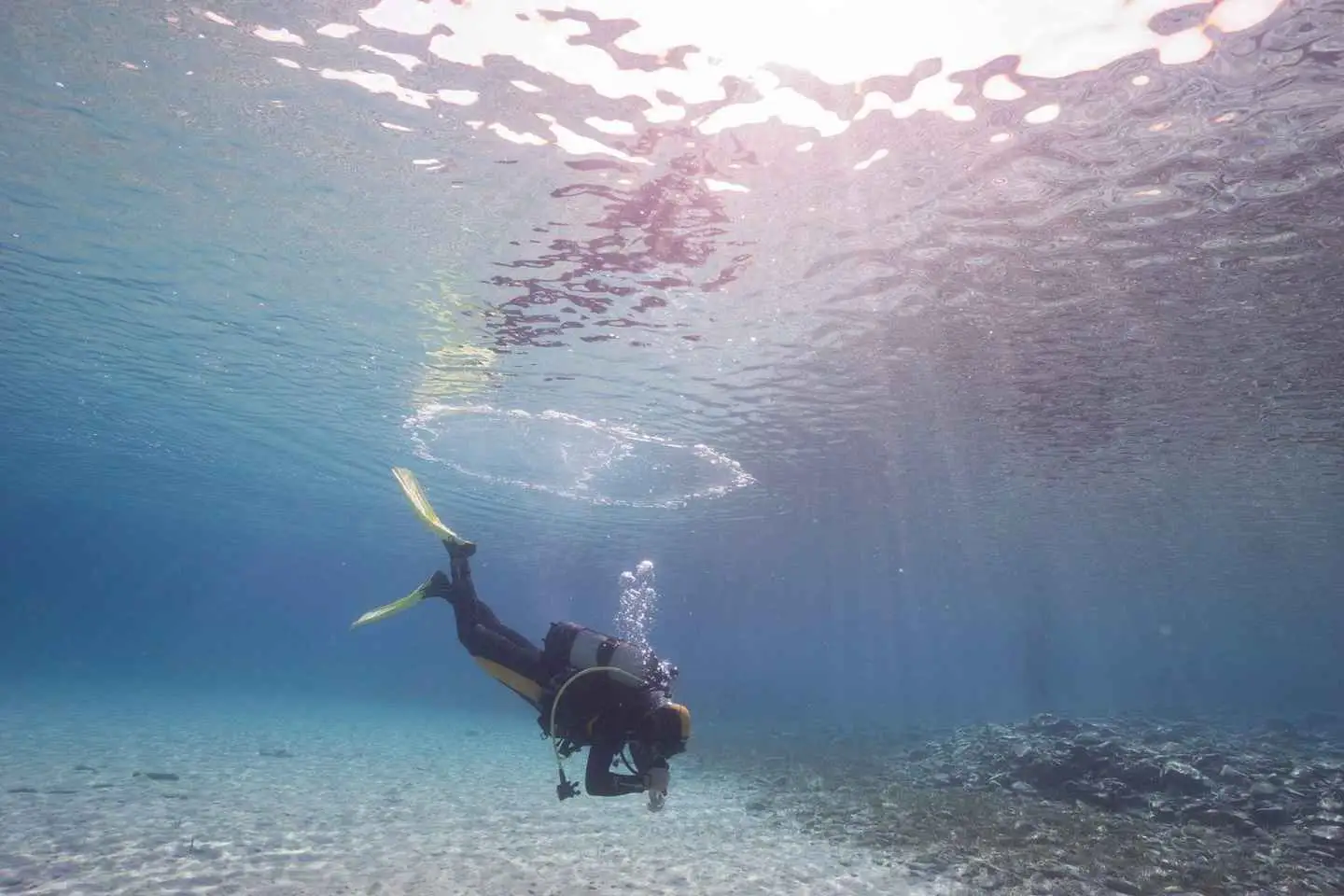
Pick-Up or Meet-Up: We’ll either pick you up or meet you at our dive center, where you’ll meet your instructor.
Briefing and Theory: Following the excitement of your first dive, we’ll gather for a quick session covering essential theories behind safe diving practices, equipment basics, and safety tips.
Choose Your Gear: Your instructor will guide you in selecting the gear that best suits you
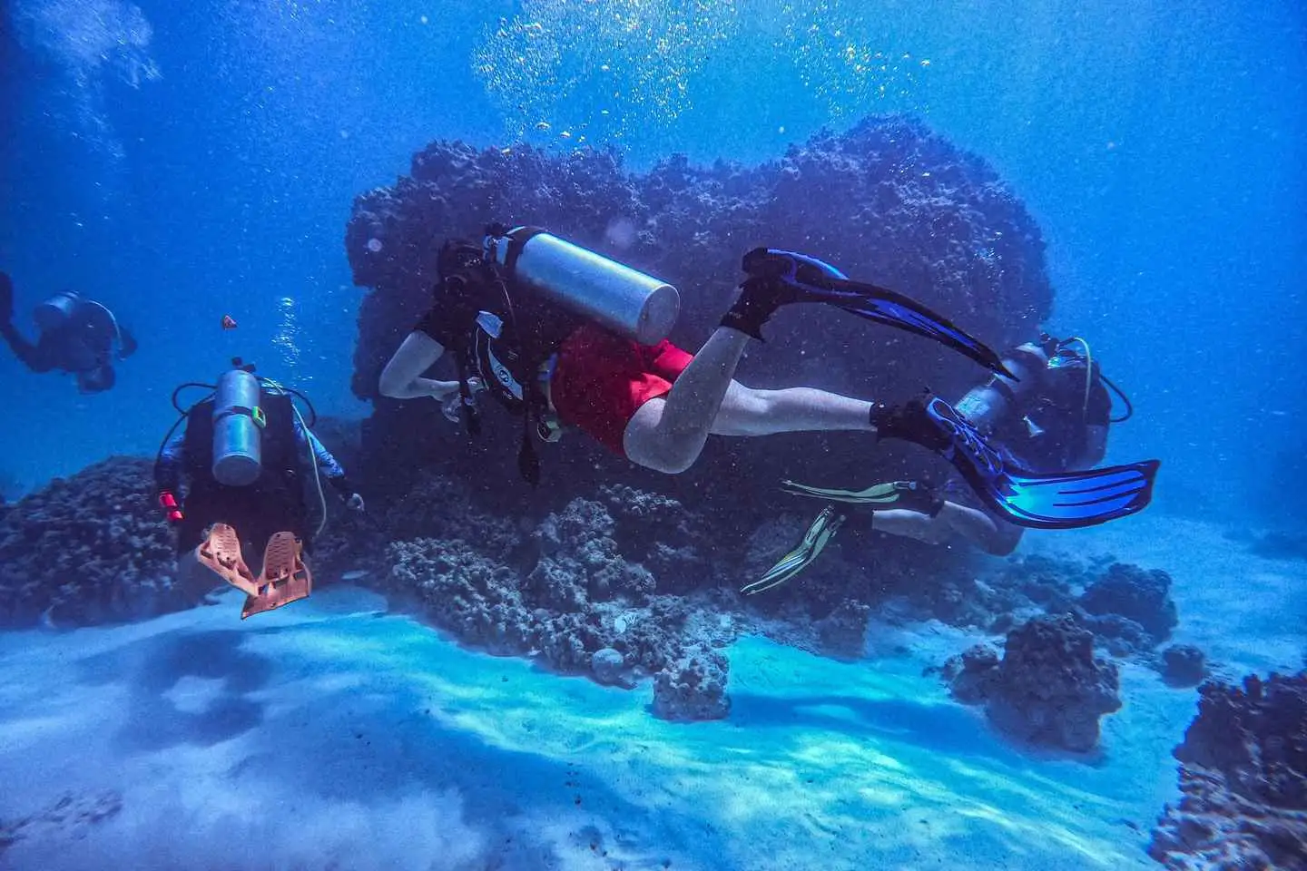
Beach Prep: We’ll head to the beach together, assemble our gear, and get ready for our first dive for about 45minutes.
After a refreshing break: we’ll change cylinders and then get ready for the second dive at maximum depth of 12 meters.
After we finish, we’ll return back to the dive center where you will receive your Basic Diver Certification .
Finally: Let’s get ready for the drop-off or if you have your own transportation, you are more than welcome to use it.
Book your beginner scuba diving today and let the exploration begin!
Are you ready for an unforgettable journey beneath the surface?
-Pick-Up or Meet-Up: We’ll either pick you up or meet you at our dive center, where you’ll meet your instructor.
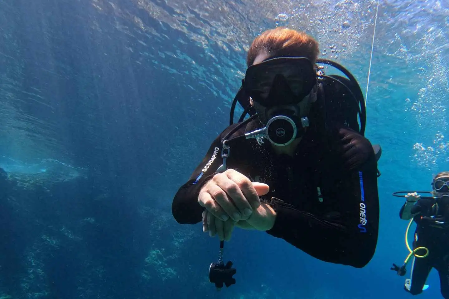
-Theory and Briefing: Get ready for a quick session to cover essential theories behind safe diving practices and equipment use basics and safety tips.
-Choose Your Gear: Your instructor will help you pick out gear that suits you best.
– Beach Prep: We’ll head to the beach together, gear up, and get ready for our dive.
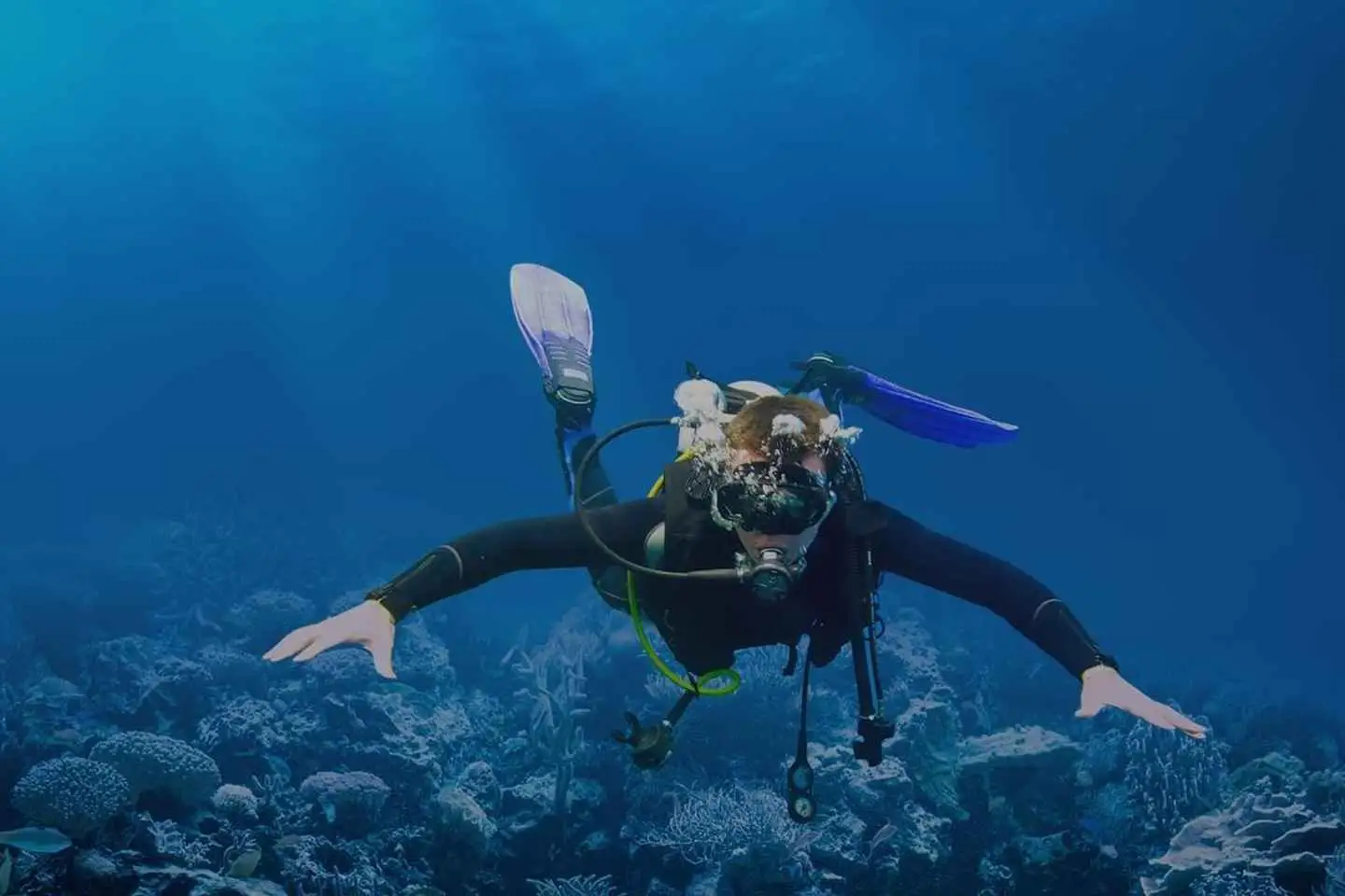
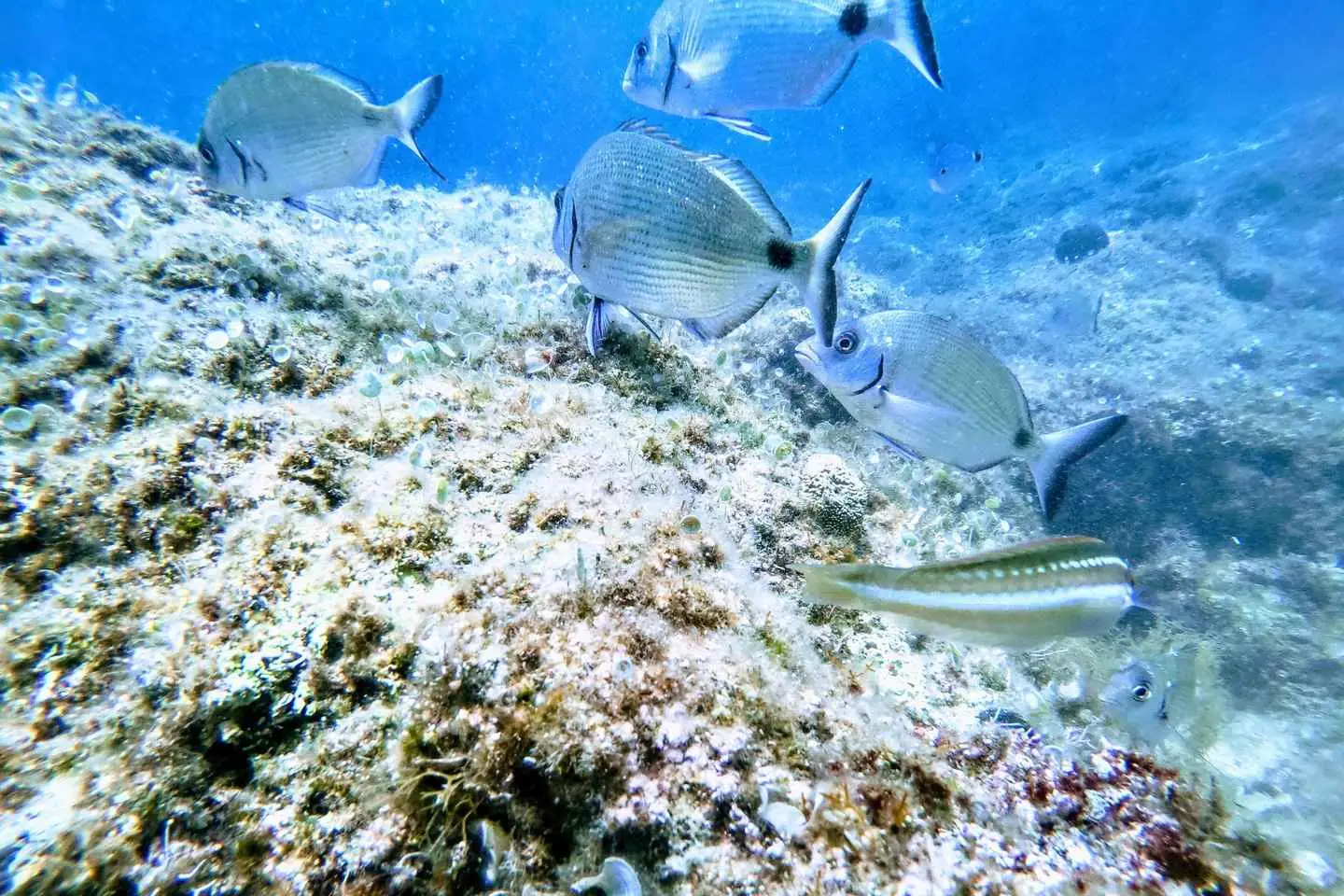
– Dive Time: Let’s dive in and explore the stunning underwater world together, for about 45minutes
-After we finish, we’ll return back to the dive center to get ready for the drop-off or if you have your own transportation, you are more than welcome to use it.
Our experienced instructors will take you through step-by-step instruction, before diving, covering everything you need to know in order to make most of it!
Book your beginner scuba diving course today and let the exploration begin!
Before reaching Chania city and wander to the narrow streets of the old city, firstly stop at the peninsula of Akrotiri.
There it is the grave of the important politician Eleftherios Venizelos, where we can enjoy a fabulous view over Souda Bay.
Chania, the second largest city of the island of Crete will be next stop. After a city tour, your steps will leads you to the city port where you will enjoy some small Cretan specialties. Free time to explore the city on your own will be next. You can also visit the famous market hall here. We continue with the stop at the ruins of “Aptera” and spend some time for the sensational view over the north coast. Final stop is the freshwater lake “Kournas”, here you can end the day with a Greek coffee on a terrace from one of the numerous coffee shops.
This private tour unfolds the history behind the battle of Crete in Chania: A certified Historian/ Archaeologist specializing in Contemporary History is ready to guide you through the line of events that led to the Battle of Crete and the mysteries of the Archaeological remains of the battlefields.
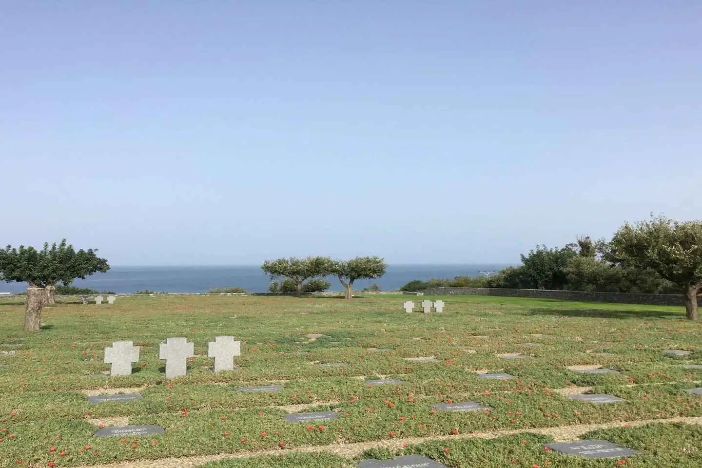
We start our tour at the Airport of Maleme, a site that was of vital importance for the Axis forces, and played a crucial role during World War Two. A tour of hill 107 is being carried out, as well as a visit to the German War Cemetery. We stand in grief, due to the sheer size of human losses and afterwards we visit two different abandoned German lockouts in an undisclosed location.
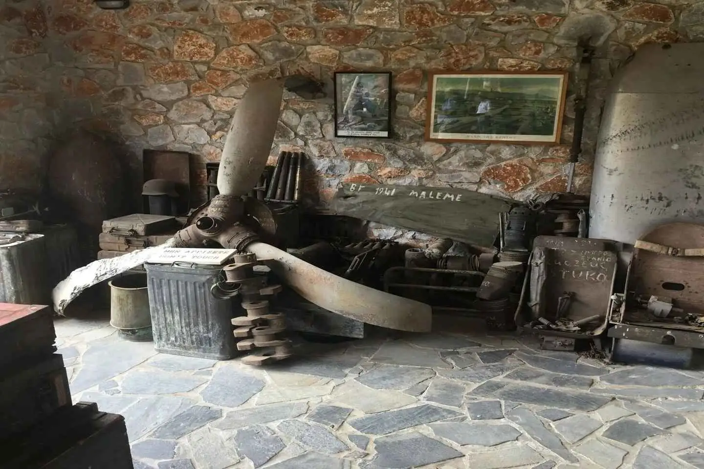
A visit to a private war museum lets us understand how the battle was being carried out, and we learn about unknown facts about the battle of Crete due to our Historian Guide’s expertise and rare archive photos that were found after tedious research.
The British Commonwealth Nations (Such as Australia, New Zealand and Great Britain) played a vital role in the Battle of Crete, and we pay great respect to our allies, by visiting the British Commonwealth Allied Cemetery. We learn about the history of the allied cemetery in Souda Bay as we overlook the spectacular views of the bay on which “Lest We Forget”* is a common phrase.
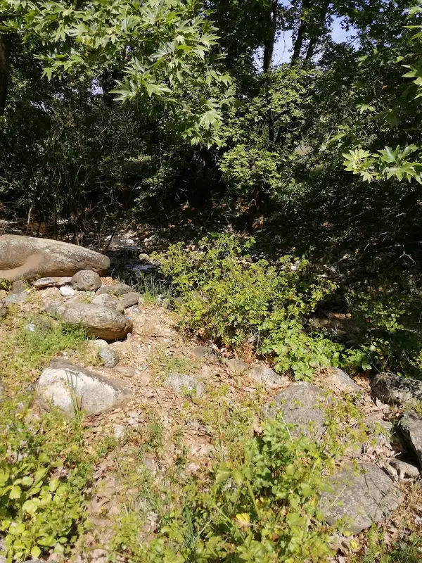
A small coffee/ lunch break at a beautiful riverside with overgrown vegetation will help us to talk about questions and inquiries. Afterwards, we continue our tour to an undisclosed location to inspect battlefield Archeology and the untouched history of the Battle of Crete to an abandoned German Bunker. We learn about the daily war routine, as well as the military equipment, regimes and ammunition used by both the Axis Forces and the Allies during the second world war.
No results available
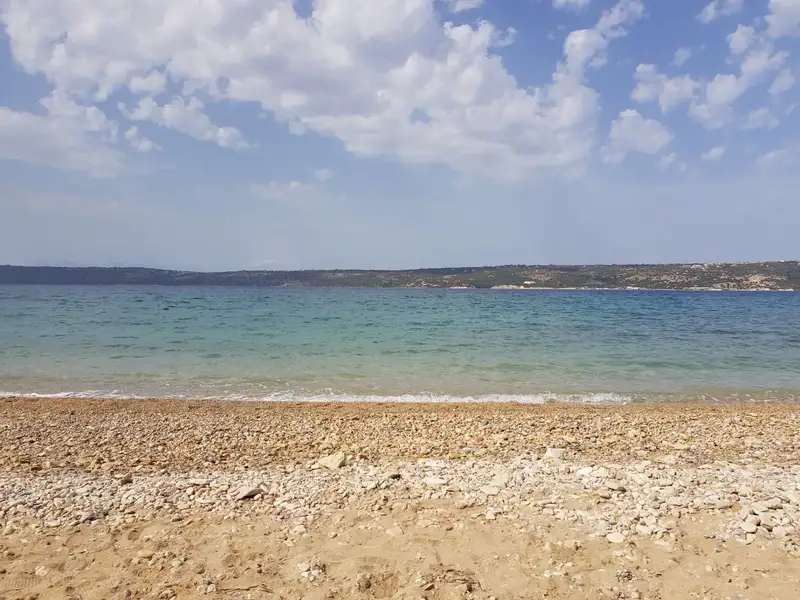
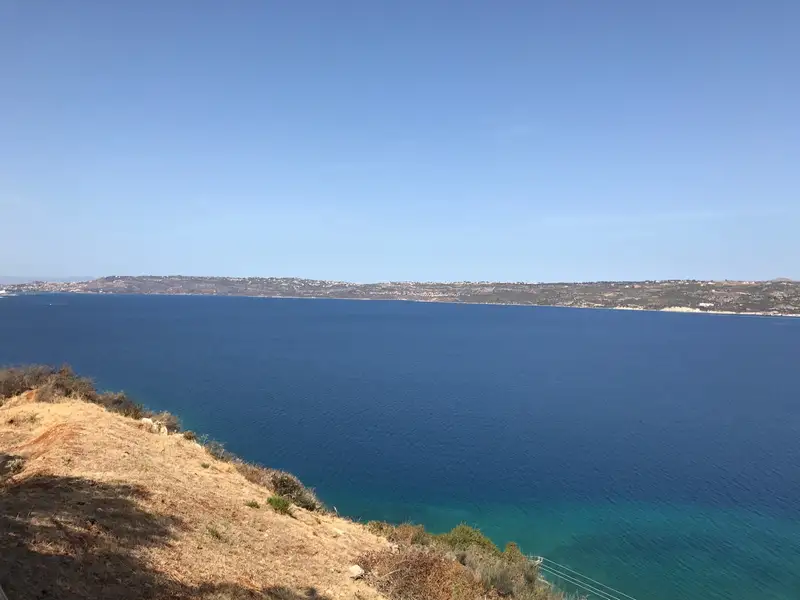
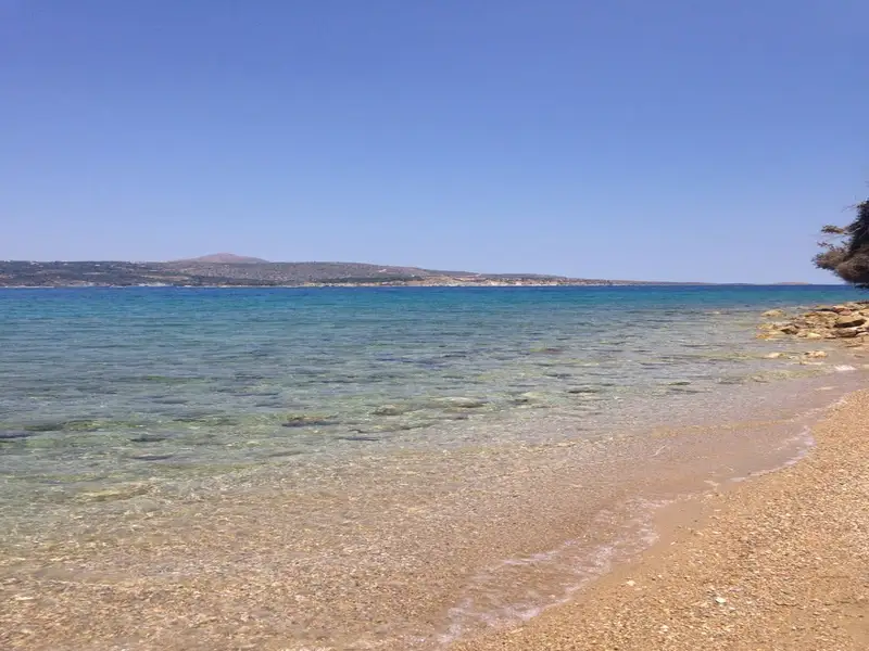
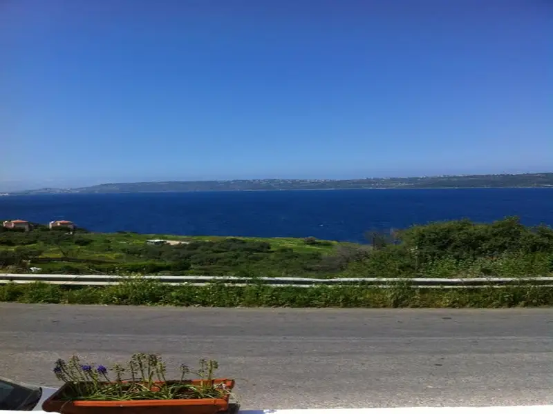
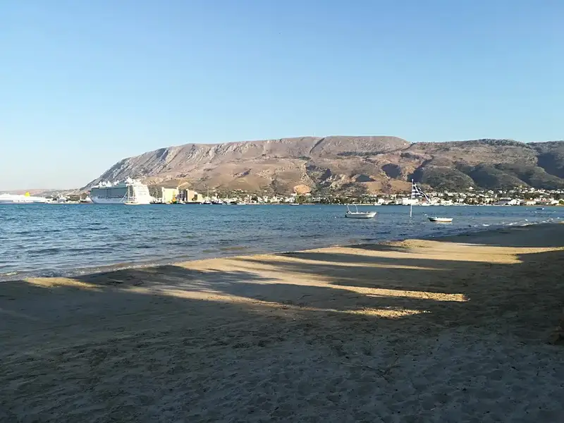
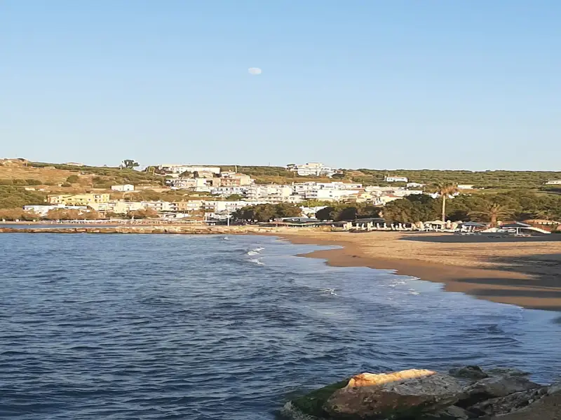
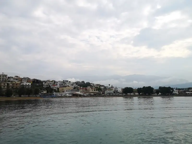
The village of Kalami is situated 15km to the east of Chania city, nestled on the southern shore of Souda Bay and in close proximity to Megala Chorafia village. It boasts a breathtaking panorama of the bay and Souda fort. Moreover, it’s near the ancient city of Aptera and the Turkish forts of Intzedin and Aptera.
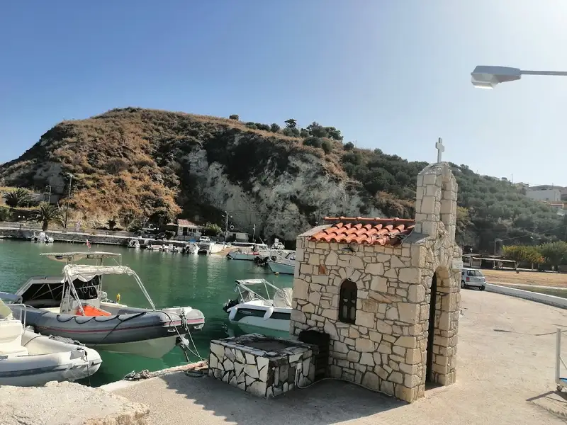
A mere 500m north of the village, a delightful beach adorned with rounded pebbles and deep water is found. At the beach’s east end, there’s a small harbour housing various boats. The beach is a favourite spot among the locals, although it’s yet to be fully organized. There are a handful of umbrellas and tamarisk trees scattered about. The village and the surrounding region offer a few accommodation and dining options.
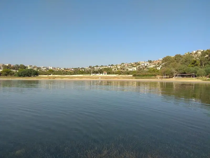
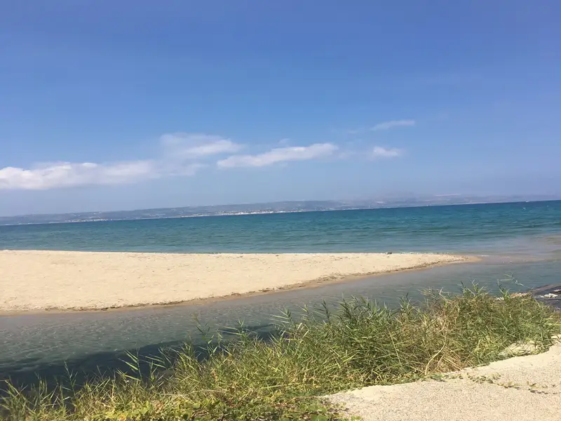
Vlites beach, a well-sheltered spot situated in the grand Souda bay, lies about 5 km to the east of Chania city and holds the title of the longest beach in the bay. This expansive beach takes shape north of the Moronis River’s mouth, extending northwards to the Souda Bay War Cemetery.
The sandy seashore is ideal for kids due to its typically tranquil state and shallow waters. Previously, its closeness to both the Souda Naval Base and Souda’s commercial port led many locals to avoid swimming in its waters. However, chemical analysis has confirmed the water’s cleanliness, assuring that swimming at Vlites beach is entirely safe.
The coastal resort of Kalives is situated 19km west of Chania, along the southern edge of Souda Bay. This charming village is nestled in a verdant valley where several rivers meander. Its name, which translates to “Huts” in Greek, is thought to have originated from the primitive structures erected by farmers for summer overnight stays. The rivers of Xidas and Mesopotamos flow near the village’s eastern boundary. The combination of these rivers with the sea’s many springs results in a cooler sea temperature.
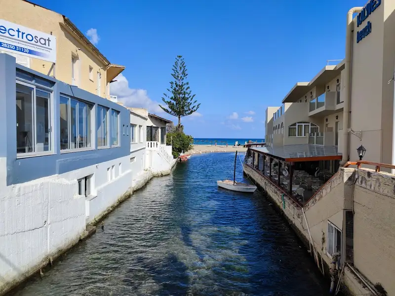
Adjacent to the Xidas river, both east and west, are two sandy beaches with shallow waters, exposed to northern winds. Named Xidas and Maistrali respectively, these beaches are well-equipped with standard tourist amenities. A petite, picturesque bridge at Xidas river’s mouth connects these two beaches. The scenic harbor of Kalives neighbors Maistrali and is connected to Chania through regular bus services. The area also houses banks, post offices, clinics, shops, and more.
North of Kalives, at the mouth of the Kiliaris river, lies the serene beach of Kiani Akti or Glaros. The Kiliaris river, which carries water from the White Mountains, maintains a year-round flow, a rarity in Crete. This results in cooler seawater near the river.
Kalives’ geographical position and fertile soil have made it a place of habitation since ancient times. It is believed to be the location of the ancient city Amfimatrion. Notable historical events include the construction of the Castel Apicorno fortress in 1206 and the village’s destruction by the pirate Barbarossa in 1538. The village is also close to the ancient city of Aptera and the Ottoman forts of Intzedin and Aptera.
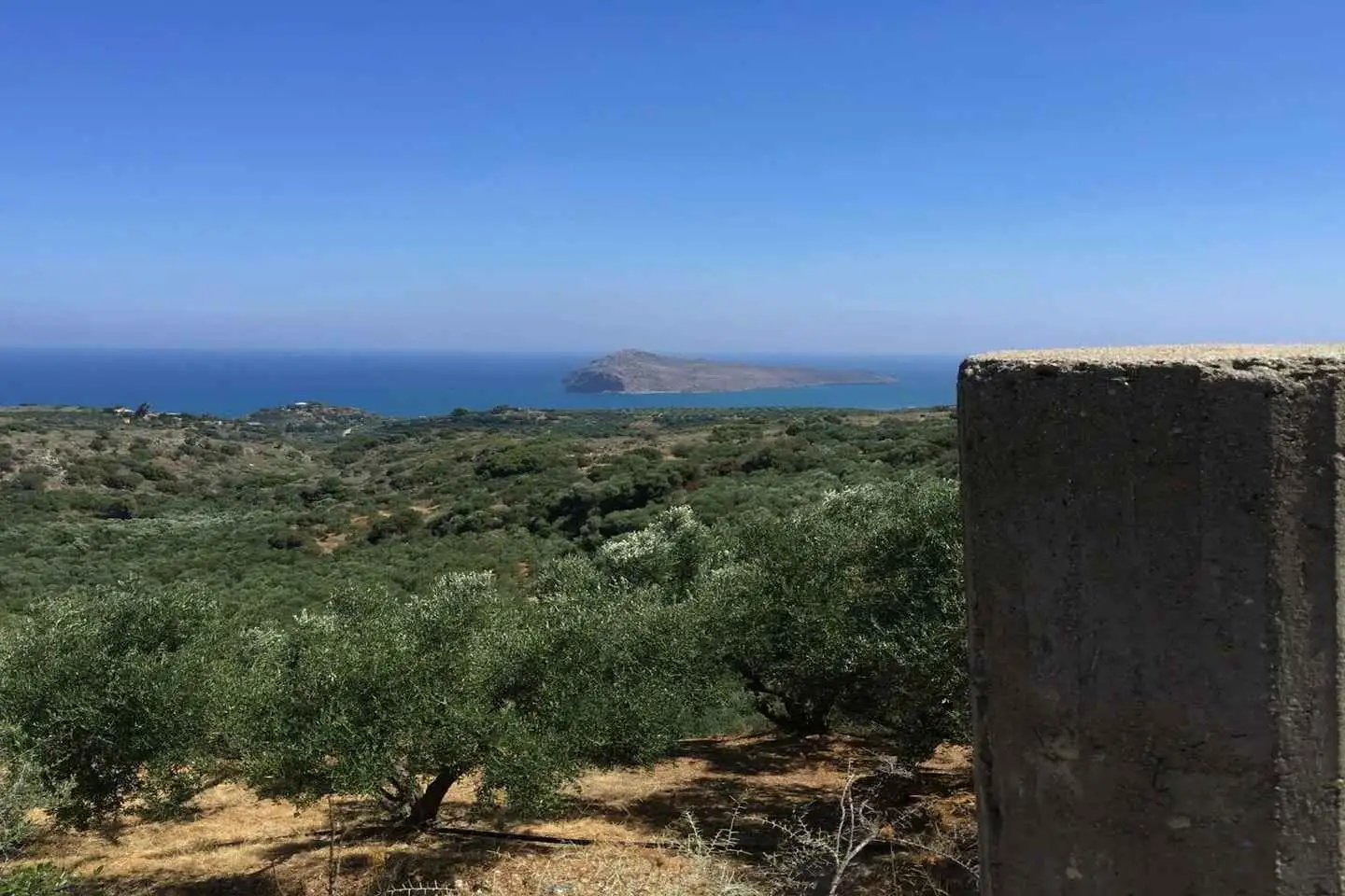
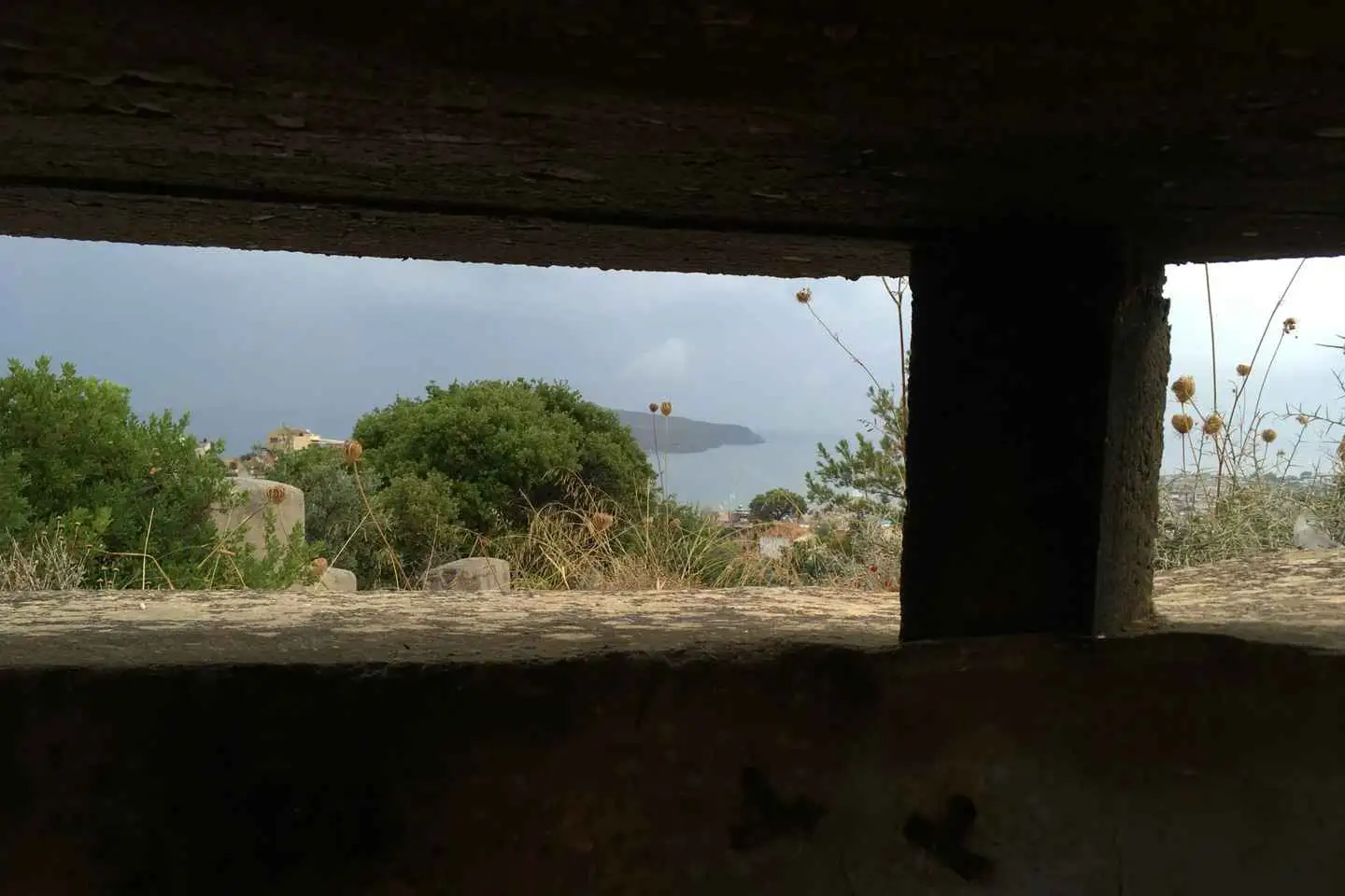
The harbor houses a German cannon concealed in a cave on the other side of a mountain. A small window at the tunnel’s end offers breathtaking views of the cliffs and sea. This is merely one example of the German defensive structures scattered across the broader Apokoronas and Akrotiri Cape area.
Visitors are encouraged to stroll through the village’s picturesque narrow streets, eventually reaching the village’s central square, home to a large plane tree and the Agia Paraskevi church. The church, adorned with frescoes, was constructed during the German Occupation in World War II.
An old Venetian mill, one of Crete’s most complex, is located along the Mesopotamos river. Built from stone and kourasani (a mixture of mortar and ground tile), it is renowned for its durability.
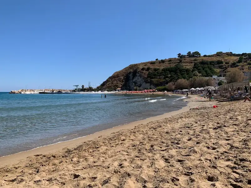
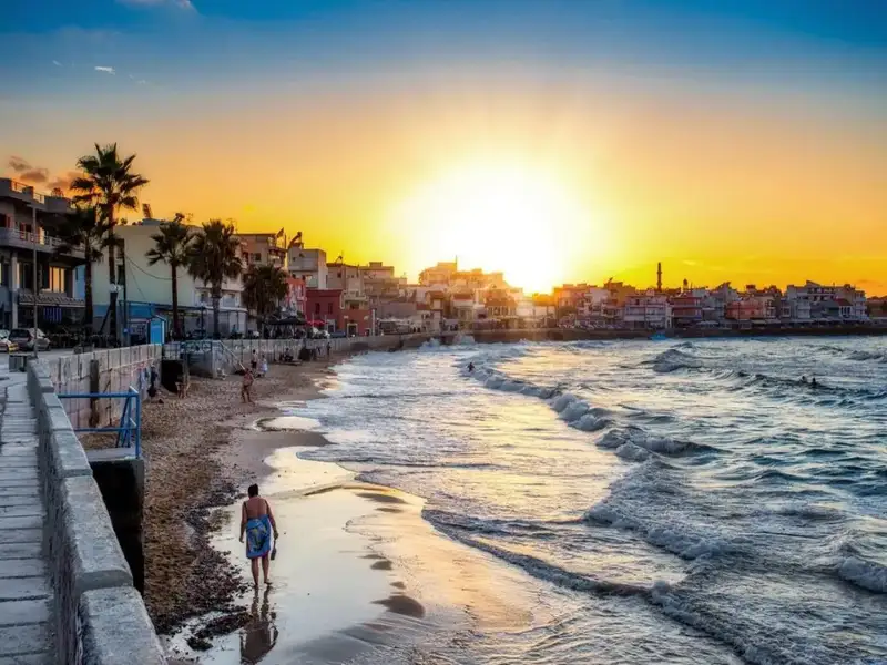
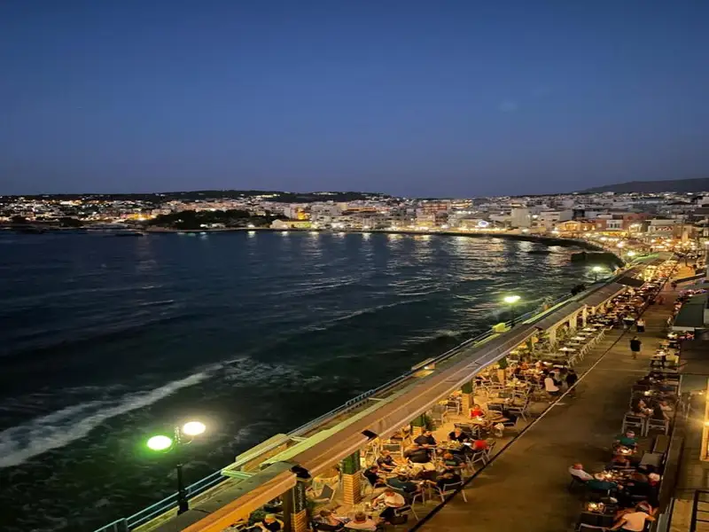
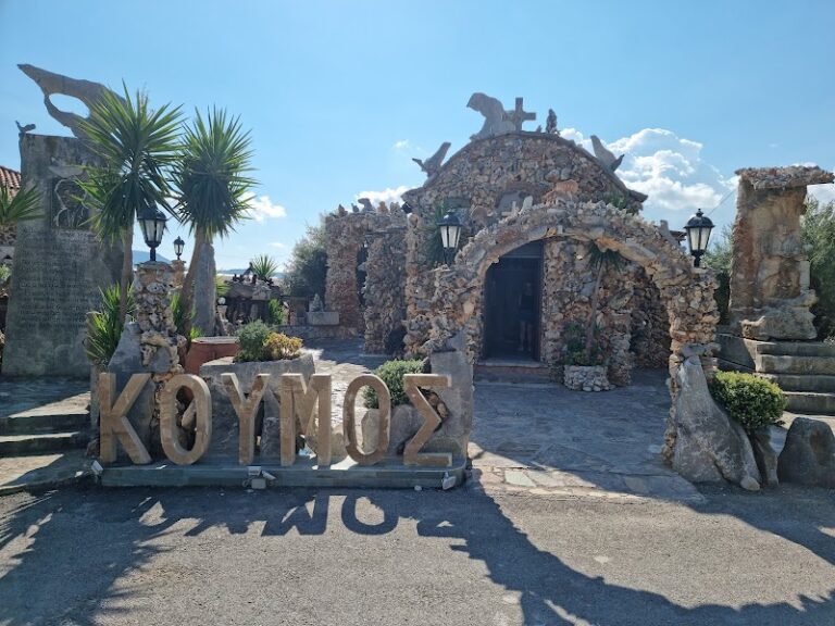
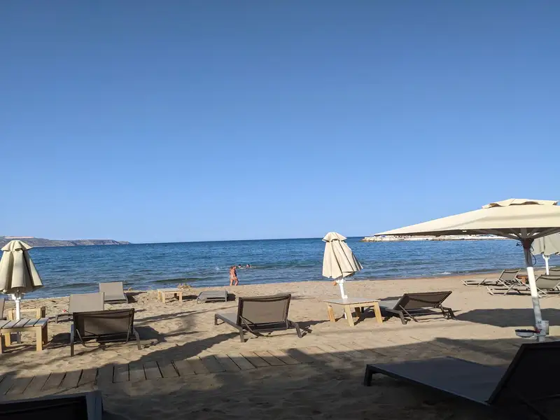
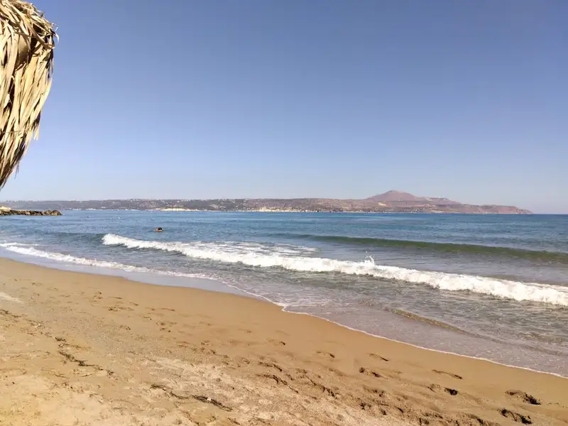
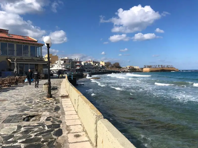
Koum Kapi is a roughly 1km strip of sand and a cafe and bar district on the eastern edge of Chania’s old town, just beyond the Venetian port. It is best known for its long coastal street lined with cafes and nightclubs rather than for classic beach days, and it stays unorganized, with no sunbed or umbrella setup. People do swim on the sandy east side, though many locals still hold back after years when swimming here was banned. Come for a seafront coffee, a sunset drink, and an easy walk from the old town; treat the swim as a bonus rather than the reason to visit.
Koum Kapi sits at the eastern edge of the scenic port of Chania, directly in front of the historical Bedouin district. The area was once home to African economic migrants who lived in rush-made huts during the Ottoman period, having first arrived on the island as slaves. None of those huts remain today. The only visible structures now are the buildings along a long coastal street lined with cafes and nightclubs.
The name comes from the Turkish phrase Kum Kapisi, meaning the Gate of Sand. This was a gate on the Venetian Walls that stood next to the sandy beach, and the district still carries that name. Backed by the old town and open to the sea, Koum Kapi reads more as a lively urban waterfront than a resort beach.
The heart of Koum Kapi is its seafront promenade. A long coastal street runs beside the water, lined with cafes and nightclubs, and this is where most visitors spend their time. It works through the whole day, from morning coffee to late-night drinks, with the sea and the old-town backdrop in view.
The strip sits within easy reach of the Venetian harbour and the old town, so it pairs naturally with a wider evening out. Browse guided walks, tours, and other bookable options to build a full day around the waterfront on the Crete Locals list of things to do in Chania and across the island.
Koum Kapi stretches for about 1km to the east, running beneath a pedestrian road. To the west, the sea meets the road’s wall with no beach in between, so there is little room there. On the east side, a strip of sandy beach forms, and this is where most people swim. Further east, a beautiful cove takes shape, though locals still tend to avoid swimming in it.
The sand is soft, the water reads blue, and the shallows stay shallow close to shore, with a sea surface that is usually calm. In earlier years Koum Kapi was a popular swimming spot in Chania, but declining seawater quality led to a swimming ban. Recent upgrades to the city’s biological cleaning infrastructure have improved the water, and the city’s Water Supply and Sewerage Authority considers it safe for swimming again. Even so, the beach stays unorganized and is still not fully trusted by many locals, so it is sensible to check conditions on the day before you get in.
Koum Kapi lies within the city of Chania, on a paved road at the eastern edge of the old town, which makes it one of the easier spots to reach on foot from the centre. Bus services run to the area, and the paved-road access means you can also drive in.
There is a parking area near the beach, but it fills up and gets crowded in peak season, so arriving early helps. Compare rental options through Crete Locals car rental in Crete when you want the freedom to move between beaches and villages across the wider region.
Koum Kapi fits travellers staying in or near Chania old town who want a seafront base for coffee, food, and drinks without leaving the city. It is family friendly, with shallow, usually calm water on the east-side sand, and it suits anyone who values atmosphere and walkability over a fully organized beach.
It is a weaker choice if you want sunbeds, umbrellas, and beach services, or a long stretch of open sand. For a more conventional swim close to town, the sandy bays just west of the harbour are a better match than Koum Kapi.
A short way east, in the Halepa suburb of Chania beside the Agia Kyriaki chapel and beach, you will find Kouloura, a small rocky pond. It serves as a favoured natural pool among Halepa residents, many of whom have their own story about the place.
Koum Kapi also sits close to some of the city’s landmarks, including the Venetian Harbour, the Archaeological Museum of Chania, and the Municipal Market of Chania. When you are ready to swim somewhere more open, nearby options include Lazaretta islet, Vlites beach, Chrissi Akti beach, and the sandy Nea Chora beach just west of the port. You can plan a wider coastal route from the full Crete Locals guide to beaches in Crete.
Koum Kapi beach is in the city of Chania, on the island of Crete, Greece, at the eastern edge of the old town in front of the historical Bedouin district.
Yes, Koum Kapi beach is suitable for swimming, and the city’s Water Supply and Sewerage Authority considers the water safe after infrastructure upgrades. It is still recommended to check the water conditions before entering the sea.
The beach has sand, the water colour is blue, the water near shore is shallow, and the surface of the sea is usually calm.
Visitors can swim on the east-side sandy strip and enjoy the several cafes and restaurants along the coastal street.
Koum Kapi beach is unorganized, so it has no sunbeds or umbrellas, but there are accommodation options and food and water available nearby.
The beach is reached by bus services and by a paved road, and there is a parking area nearby that can get crowded in peak season, so it helps to arrive early.
Yes, nearby attractions include the Venetian Harbour, the Archaeological Museum of Chania, and the Municipal Market of Chania.
No results available
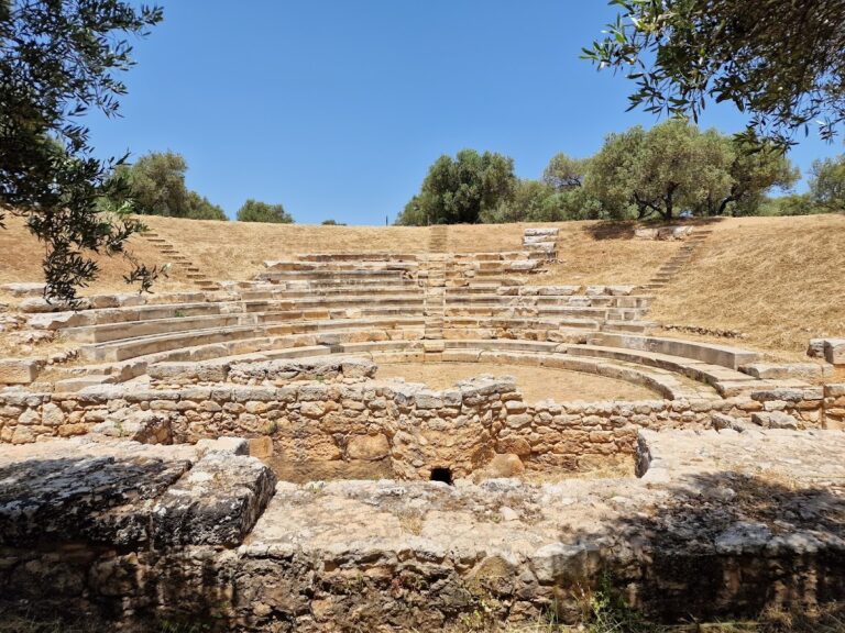
Aptera is a highly significant archaeological site in West Crete. Established in the 8th century BC, the ancient city of Aptera was strategically located to control Souda Bay and prospered during the Hellenistic period. However, it was abandoned during the Arab years due to pirate attacks. The city relied on the ports of Marathi and Kalives, which made Aptera one of Crete’s most important commercial centers, if not the most important one.
Tradition has it that the city was named after the Sirens who lost their wings in a musical contest against the muses, rendering them wingless (aptera in Greek). However, it seems that the name actually comes from Aptera Artemis (wingless Artemis), who was worshipped in the area, as evidenced by the city’s coins.
Aptera was fortified with a strong wall, of which a large part (4km) still stands today. Within the city, one can find a sanctuary from the 5th-4th century BC, enormous Roman vaulted cisterns, a carved-in-ground theater, a “parliament,” and a nearby necropolis. Various artifacts have been discovered, including vases, coins, figurines, inscriptions, and sculptures.
The city of Aptera was renowned for its skilled archers who served as mercenaries in various areas outside Crete, bringing wealth back to their homeland. The valuable silver they introduced enabled the city to mint its own coins. These intricate coins typically featured the goddess Artemis on one side and the city’s founder King Apteras on the other. Other designs depicted Apollo or Hera and a torch, bee, or bow.
Aptera is situated 13 km from Chania and is most conveniently reached by car, as there are no direct public buses to the site. Alternatively, you could take any bus heading towards Rethymno or Heraklion and get off at the crossroads leading to Aptera. However, keep in mind that this option requires a 45-minute uphill walk to reach the archaeological site.
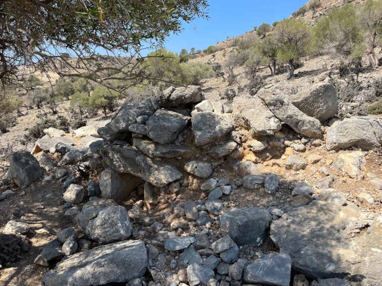
South of the archaeological site of Aptera and near the village Stylos, at position Azogires, we come across the domed tomb of Stylos that was discovered in 1961, having already been looted, by archaeologists Nikolaos Platon and Kostas Davaras. This impressive tomb belonged to a local lord and features a circular stone chamber and a long, road corridor (20.80 m long).
The relieving triangle above the entrance housed 12 cups from the Hellenistic period, a detail that verifies that ceremonies were conducted there. Similar Hellenistic pottery was also discovered in the corridor.
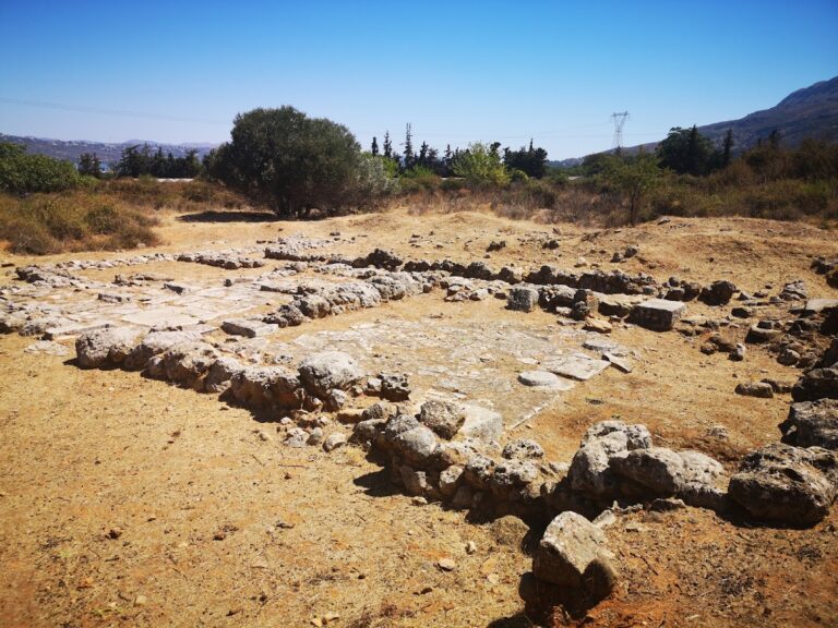
The Minoan settlement situated near the village of Nerokouros in the suburbs of Chania was unearthed in 1977. A Minoan villa, constructed according to palatial standards (such as tiled floors, polythyron, and two floors) was discovered at this location. The villa is believed to date back to around 1600 BC.
Another, less remarkable house was found 300 meters to the east, featuring two storage rooms and a tiled floor. Besides the Minoan sites, various other antiquities spanning from the Minoan era to the Early Christian years have been excavated in the broader area of Nerokouros.
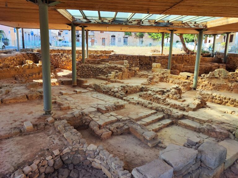
The Minoan Kydonia was established at the present site of the old town of Chania. Kydonia was likely the third largest town of Minoan Crete. A flourishing craft industry developed here, and the town became wealthy through maritime trade, which was facilitated by its location. In fact, ancient writers referred to Kydonia as the mother of the Cretan towns.
There are two versions of the origin of the name. One version attributes it to Kydon, the mythical son of Minos and the nymph Akakkalida. The other version suggests it comes from an old name for Crete (Chthonia).
Most remnants have been identified on the Kastelli hill above the old Venetian port. Plates of Linear A and Linear B have also been discovered. The remaining traces, such as the palace of Kydonia, are situated beneath the modern city of Chania and have not been excavated.
The city has continued to develop up until today, incorporating elements from all periods of the island’s history. So far, excavations have uncovered Minoan tombs, Mycenaean buildings, small palaces with frescoes, numerous vases, Roman statues, Hellenistic mosaics, and more.
No results available
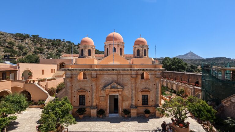
The Agia Triada of Tzagarolon Monastery is among the most opulent and stunning monasteries in Crete. Located near Chania Airport, it sits on the Tzobomylos area of Cape Melecha and at the base of Mount Stavros. Chania is a mere 15km away.
The monastery was established by Venetian noblemen Jeremiah and Lawrence Tzagarolo. Jeremiah, a renowned scholar and friend of the Patriarch of Alexandria, Meletios Pigas, had an extensive education. He was even considered for the role of Patriarch of Constantinople. Influenced by Italian architect Sebastiano Serlio from Verona, Jeremiah designed and constructed the monastery complex.
Nowadays, the monastery houses a small museum showcasing various paintings and icons. The most notable pieces include a 12th-century altar covering, icons of St. John the Theologian (16th century), St. Nicholas (17th century), and the works of painter Skordilis: the Enthroned Christ, Living Spring, and the Second Coming (1635-1645).
Despite its storied history, the monastery still plays a significant role in the religious and economic life of Crete. As a Stavropegic institution, it falls under the direct management of the Ecumenical Patriarchate of Constantinople. Visitors can experience a beautifully preserved and lively monastery that produces and exports organic products such as olive oil, wine, honey, vinegar, and high-quality olive oil soap.
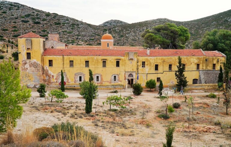
The Gouverneto or Gderneto Monastery can be found 19km east of Chania, on the northern side of Cape Akrotiri of Chania, near the Agia Triada Tzagarolon Monastery. To reach it, follow the signs from Agia Triada.
Perched on a rocky site at an altitude of 260m, close to the entrance of the Avlaki gorge, the monastery features fortress architecture and four towers with bastions guarding its corners. Built before 1537, as evidenced by an inscription at the fortress entrance, Gouverneto Monastery is one of the oldest in Crete. It is thought to have been founded by hermits and monks from the nearby seaside Katholiko Monastery, who may have constructed the new monastery atop an existing ancient temple to protect themselves from pirate attacks.
Dedicated to the Virgin Mary, the monastery is also known as Kyria ton Agelon (Lady of the Angels Monastery). Its church has a cruciform shape with a dome, and the entrance is adorned with relief representations of monsters. Construction began during the Venetian Era but was only completed 2.5 centuries later due to the Turkish invasion of Crete and subsequent ban on building Christian temples.
Surrounding the church, which is situated in the center of the courtyard, are the other buildings of the complex. These include 50 monk cells on two floors, a dining room, a small museum, and more. Additionally, two chapels dedicated to Agii Deka (Saints Ten) and Saint John the Hermit can be found next to the church.
St. John the Hermit, who lived in a cave in the adjacent Avlaki gorge, is considered the founder of the monastery. A stone-paved trail leads down to the sea through the gorge, and after a 20-minute descent, you’ll encounter the Arkoudospilio Cave, followed by the ruined Katholiko Monastery and the cavernous church of St. John, where the hermit resided. After another 10 minutes, the gorge concludes at a narrow, rocky fjord with green waters.
Visitors can explore the monastery on Mondays, Tuesdays, and Thursdays (9:00 to 12:00 and 17:00 to 19:00) and on weekends (9:00 to 11:00 and 17:00 to 20:00). Please ensure you are dressed appropriately, as shorts, swimwear, and similar attire are not permitted.
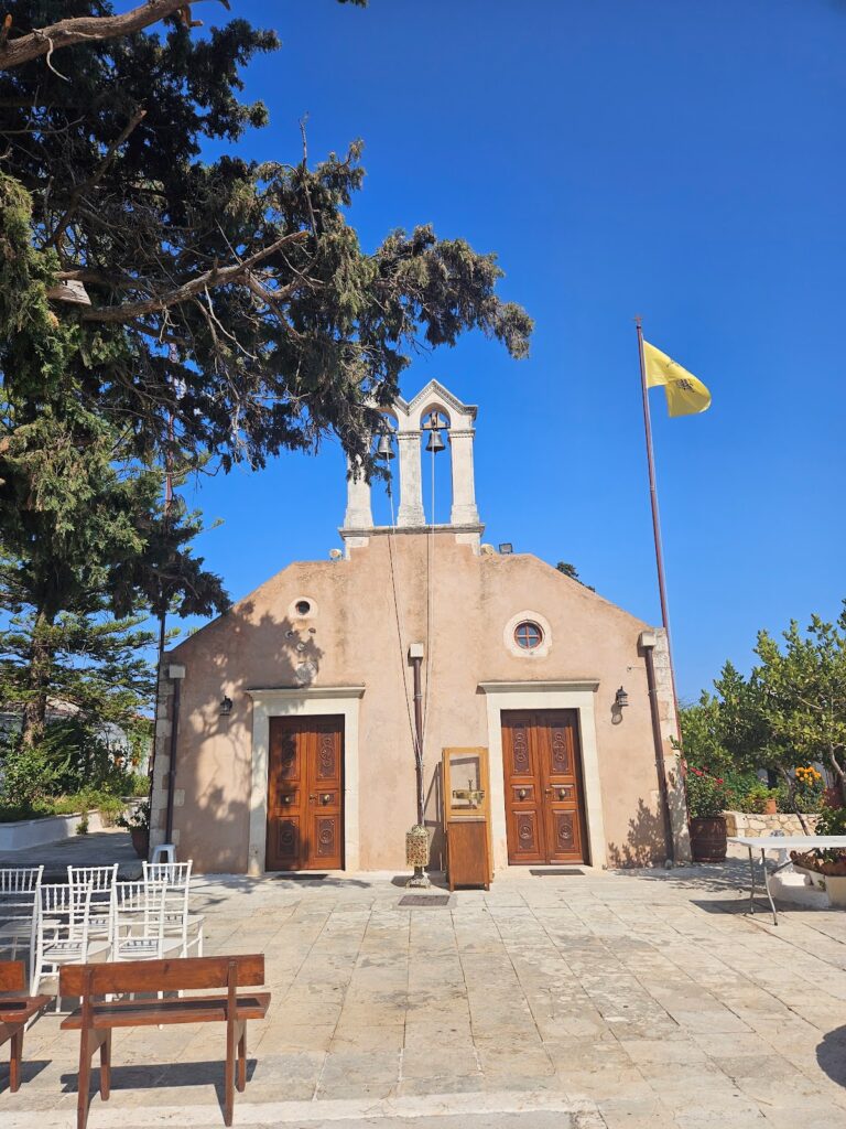
The Monastery of St. John the Baptist, located in the Korakies area of Akrotiri near Chania’s airport, is a historic yet relatively unknown convent in Chania.
Throughout its history, the monastery has been destroyed multiple times by various conquerors of Crete, resulting in the loss of valuable documents that could have helped determine the exact date of its foundation. However, it is believed to have been initially established before the Fall of Constantinople (1453) in the coastal region of Agia Kyriaki, within Chania’s Halepa suburb. Due to the continuous pirate raids by the Arabs, the nuns relocated to a safer location on St. Matthew’s hill, and eventually moved to their present location.
Enclosed by a tall wall, the monastery’s main entrance is relatively modest compared to other monasteries in Akrotiri. Within the lush grounds, visitors can find the two-aisled church of St. John the Baptist (celebrated on August 29) and St. George (April 23), accompanied by simple cells and other monastery buildings. The monastery’s icons have been painted by the nuns, and the small chapels of St. Andrew the Cretan and Panagia Portaitissa can also be found on the premises.
In the past, a notable Housekeeping School operated within the monastery, in the present-day museum location. The school quickly gained an outstanding reputation across the island, with the nuns even sewing the wedding dress of Greek Queen Olga in 1867.
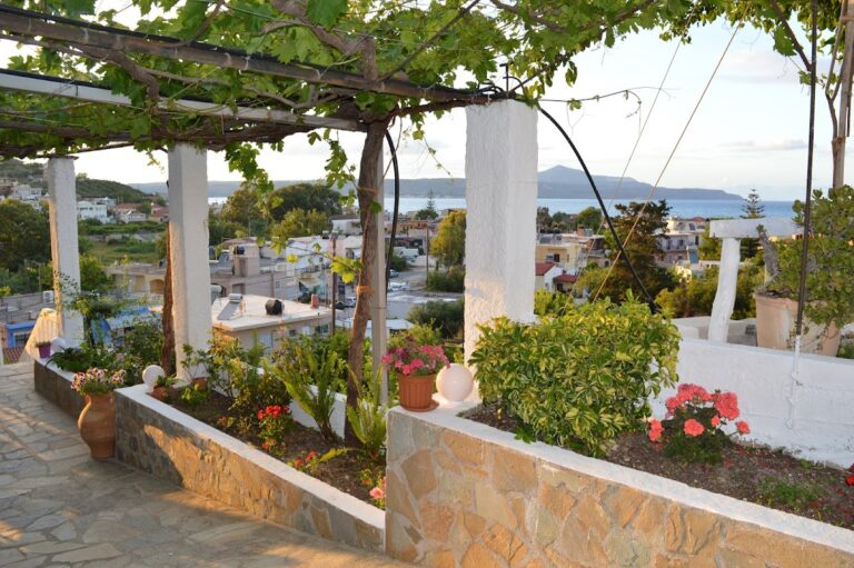
Located at Tria Kamarakia, near the Rethymnon-Chania highway, the Holy Cross “St. Raphael” Foundation is a quaint, informal monastery with a primary focus on charity work. Its main temple is a three-aisled basilica dedicated to the Neomartyrs (Raphael, Nicholas, and Irene), the Holy Cross, and Saint Ephrem.
No results available
No results available
No results available
No results available
No results available
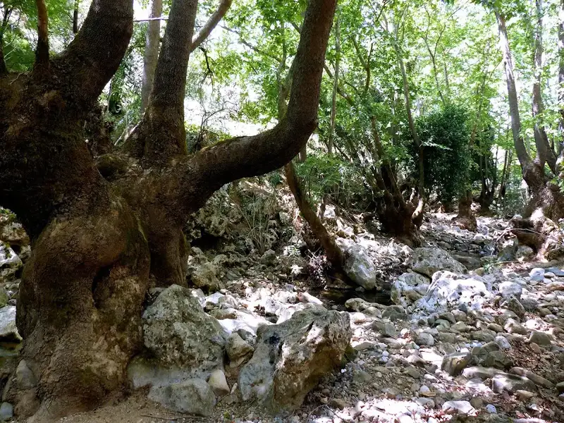
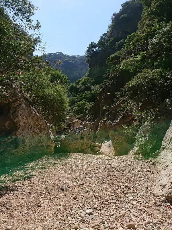
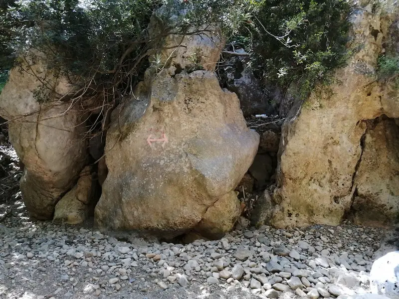
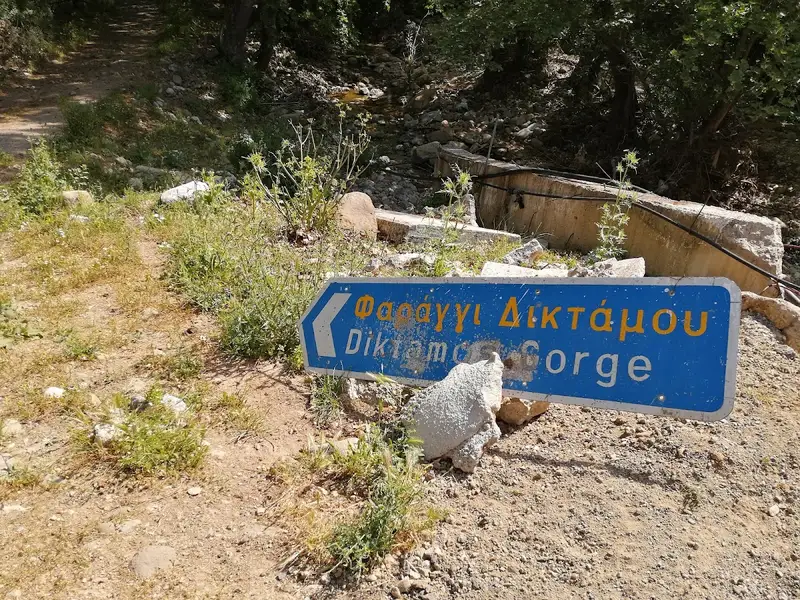
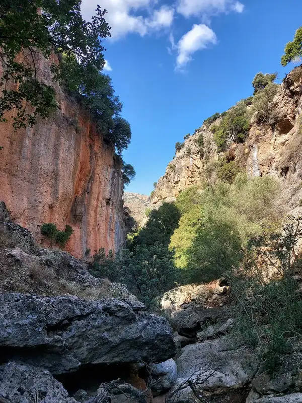
The Diktamos Canyon, nestled within the White Mountains, commences 21km to the east of Chania, near the Katochori village at an elevation of 300m. It concludes 8km further east, at the Faragi village, situated at a height of 40m and in close proximity to the Stylos village in the Apokoronas province. Consequently, it is also referred to as the Katechori Gorge or Stylos Gorge. The canyon’s stream serves as the primary tributary of the Kiliaris River, gathering water from the northern slopes of the Mavri peak and discharging it onto the Kalives beach.
Navigating through the canyon can be challenging, with certain areas requiring extra caution and approximately 3 hours to traverse. The canyon is a stunning, verdant landscape filled with towering trees and steep inclines, home to dittany or diktamos, a herb endemic to Crete. In Stylos, you have the opportunity to explore the ancient church of Apostle John (Agios Ioannis Theologos), refresh yourself at the local springs, and replenish your energy at the village’s taverns.
The Cyclamen Gorge, also known as Agios Georgios Gorge or Gorge Vandes, is nestled on the northern slopes of the White Mountains. Its starting point is the Aletrouvari settlement, situated at an altitude of 300m, and it extends east of Agios Georgios village, ultimately ending at the village of Vandes, which is at an elevation of 50m. The stream that runs through this gorge gathers water from the Drakona area, resulting in the formation of quaint, small ponds at certain spots.
However, this route is not recommended for novice hikers as it requires approximately 2 hours to traverse from Aletrouvari or about 1 hour from Agios Georgios. As visitors journey through this route, they will encounter a diverse landscape that changes along the river, all under the cool shade of towering plane trees and cypresses.
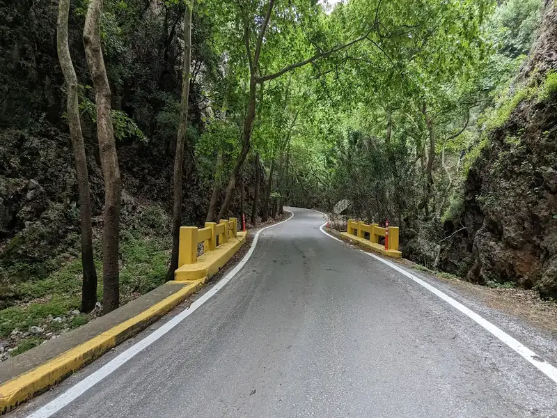
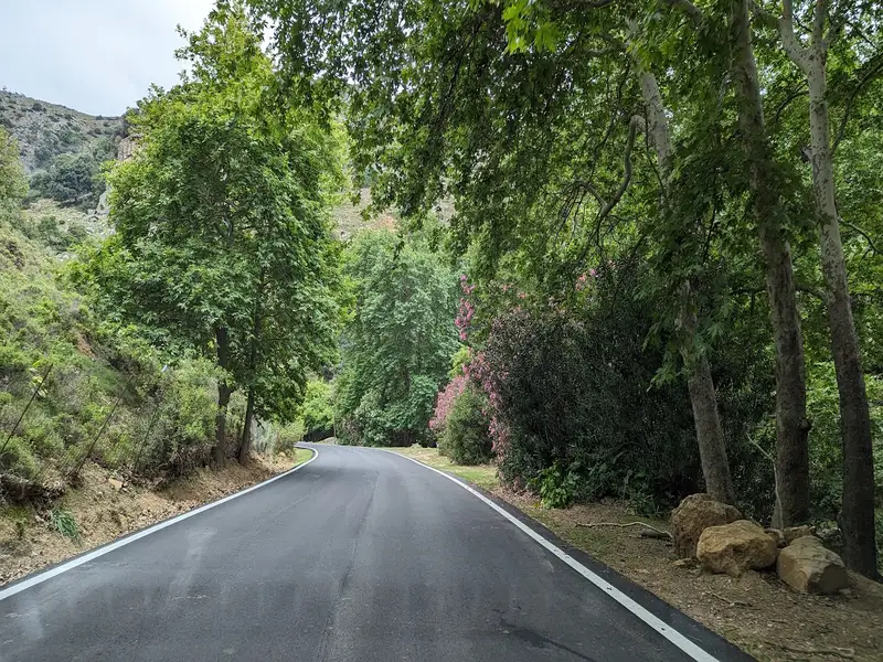
Positioned near the city of Chania, the Therisso Gorge (also known as Eleftherios Venizelos) is an awe-inspiring sight. This six-kilometre-long canyon is adorned with impressive vertical cliffs and lush greenery, rivalling any other gorge in the Chania region. Accessible by car, it’s worth combining a trip to the gorge with a visit to the historic village of Therisso, nestled at the foot of the White Mountains, just 15 kilometres from Chania. This village, steeped in history, offers an unforgettable experience to any visitor.
With a population of just over 100, the valiant village of Therisso has held a significant role in Crete’s modern history, mainly due to the resilience of its inhabitants against Turkish invasions. In 1866, the village was burnt by Mustapha Pasha Naili, forcing many, including the mother of future Greek Prime Minister, Eleftherios Venizelos, to relocate to Kythera and the Peloponnese. Therisso gained further historical prominence in 1905 when Eleftherios Venizelos and his allies initiated a revolution against the autocratic rule of Prince George, imposed by the Great Powers, charting a course for Crete’s union with Greece. Notably, the heroic Halides brothers, key figures in the 1821 revolution, also hailed from Therisso.
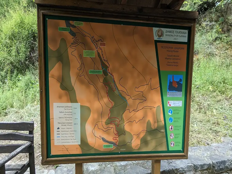
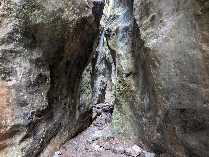
Sarakina Gorge is a short, easy hiking gorge near the village of Meskla, about 20 km from Chania town at the foot of the White Mountains. The gorge runs 3 km, rates 1 out of 10 for difficulty, and takes roughly 30 minutes to 1.5 hours to walk as a circular route that starts and ends beside the Church of the Panagia in Meskla. Water flows through the ravine until spring, and a developed path of dirt track, wooden and stone staircases, and metal walkways carries you between towering cypress and plane trees to a point where the limestone rock splits down the middle.
Sarakina Gorge is a compact hiking gorge hidden inside a deep ravine at the foot of the White Mountains. The gorge sits close to Meskla, a quiet village roughly 20 km from Chania, and its somewhat elusive location keeps it off the beaten track for many locals. That obscurity is part of the appeal, because it has kept the ravine an untouched natural spectacle rather than a crowded attraction.
The name comes from local lore that the Saracens once used the ravine as a hiding place. Do not confuse this ravine with the other well-known Sarakina Gorge in East Crete, near Mythi in the Province of Ierapetra.
Sarakina Gorge has a difficulty level of 1 out of 10, which makes it one of the gentler walks in the region. The gorge is 3 km long with an altitude difference of about 300 meters, so the effort stays light across the whole route. Walking it as a circular trail takes about an hour, and most visitors finish somewhere between 30 minutes and 1.5 hours depending on how long they linger at the rock formations.
No technical skill or climbing is needed here. Families with children and casual walkers manage the path comfortably, since local authorities have developed the trail with staircases and walkways throughout.
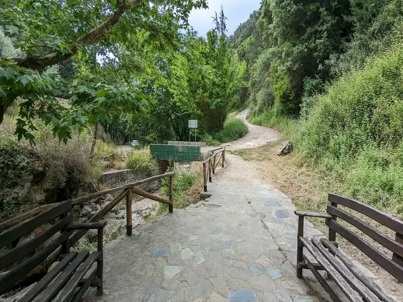
Reach the trailhead by driving to Meskla, where a paved road leads all the way to the gorge. The village lies about 20 km inland from Chania town, and the drive climbs gently toward the White Mountains. Park at the Church of the Panagia in Meskla, which marks both the start and the finish of the circular trail and offers the parking space for visitors.
Public transport into these mountain villages is limited, so the easiest way to arrive is with your own vehicle. Book a rental car for exploring inland Crete if you want the freedom to combine Meskla with the wider valleys around Chania town.
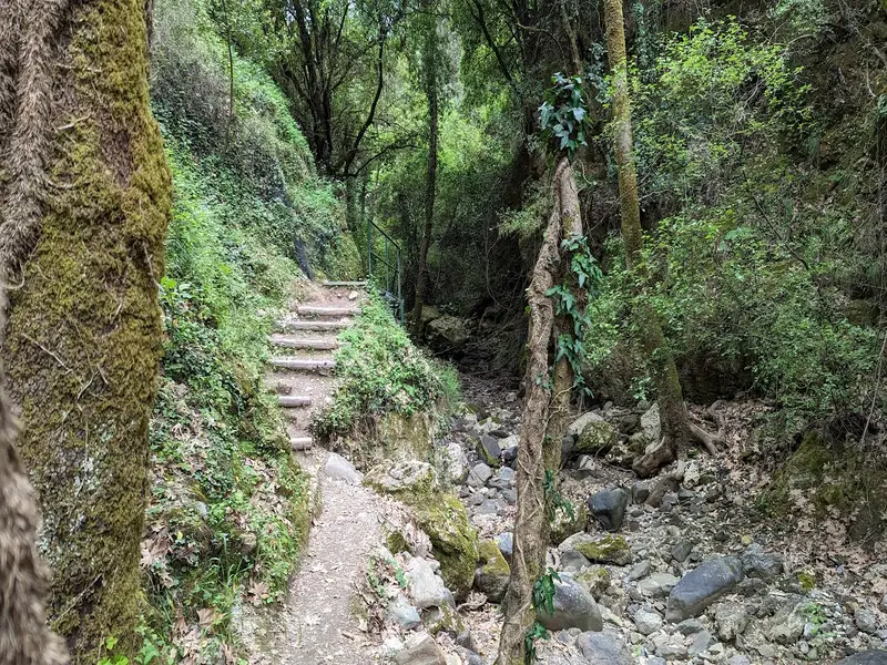
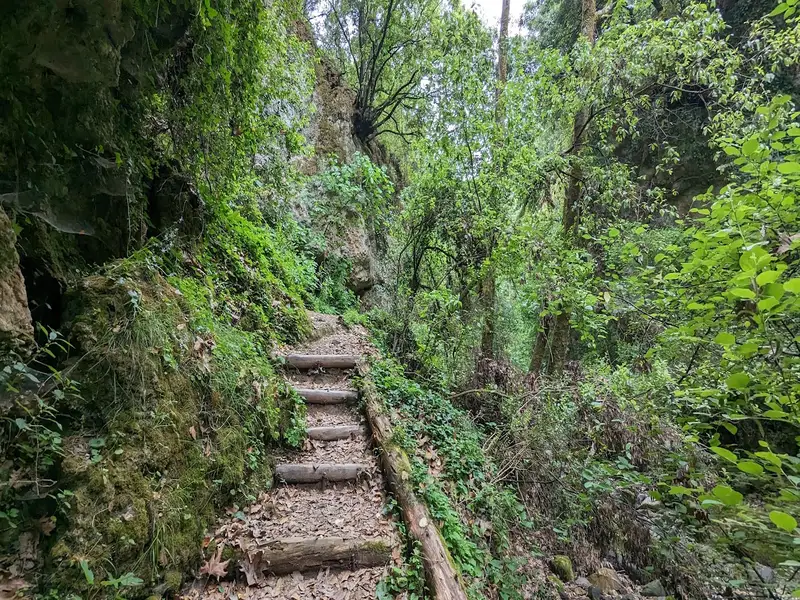
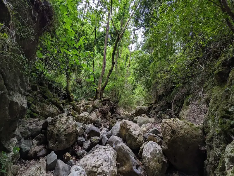
The walk opens with a ten-minute stretch on a dirt road that then joins a path running alongside the river. Wooden and stone staircases and metal walkways cross the water as you move deeper into the ravine, framed the whole way by cypress and plane trees. Water runs through this section until spring, adding sound and greenery to the shaded canyon.
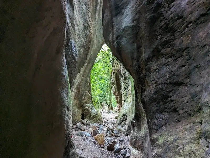
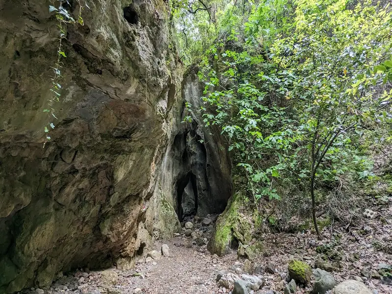
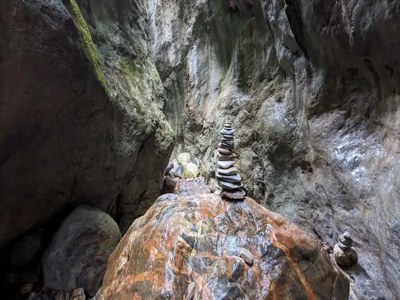
After the first segment the landscape changes sharply, shifting from a gravel bed to solid limestone boulders. The highlight arrives where the rock appears split down the middle, carving out a breathtaking natural sculpture that gives the gorge its character. This limestone gallery is the reason most hikers make the trip, and it rewards a slow pace and a camera.
Pack for a short mountain walk with water underfoot. Bring the essentials below so the easy grade stays comfortable across the 3 km loop:
Meskla sits within easy reach of several other Chania gorges worth pairing with Sarakina on a walking day. Each offers a different character, from lush greenery to historic villages, and all lie in the same mountainous corner south of Chania.
For guided hikes and day trips that include transport, browse the full range of Crete hiking experiences. You can also compare the region’s ravines side by side on the Crete gorges.
Sarakina Gorge is a hiking gorge. The trail suits walkers of all levels and needs no climbing or canyoning gear.
Yes, water flows through Sarakina Gorge until spring. The river runs alongside much of the path, crossed by wooden and stone staircases and metal walkways.
Sarakina Gorge is easily accessible, because a paved road leads all the way to it. Parking sits at the Church of the Panagia in Meskla, where the circular trail begins and ends.
Sarakina Gorge is 3 km long. The circular route walks back to Meskla, so you cover the distance and return to your car without arranging a pickup.
Sarakina Gorge has a difficulty level of 1 out of 10. The altitude difference of about 300 meters is spread gently across the walk, keeping it suitable for families.
Hiking Sarakina Gorge takes approximately 30 minutes to 1.5 hours. Most walkers complete the circular trail in about an hour, with extra time for photos at the split-rock formation.
No results available
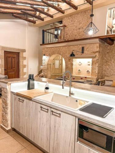
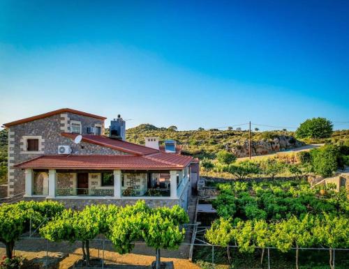
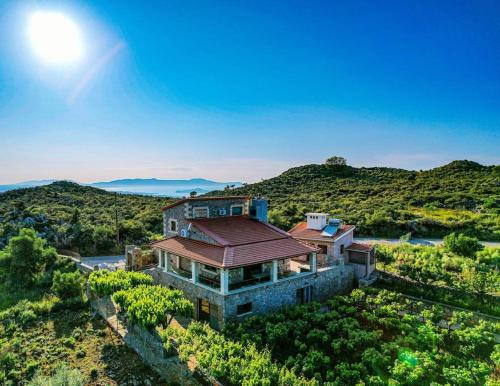
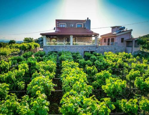
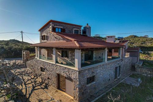
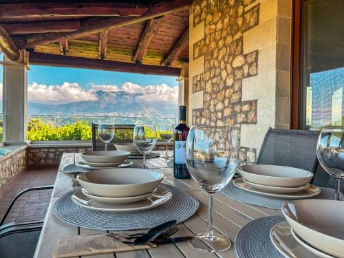
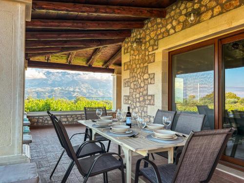
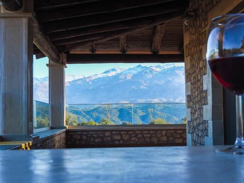
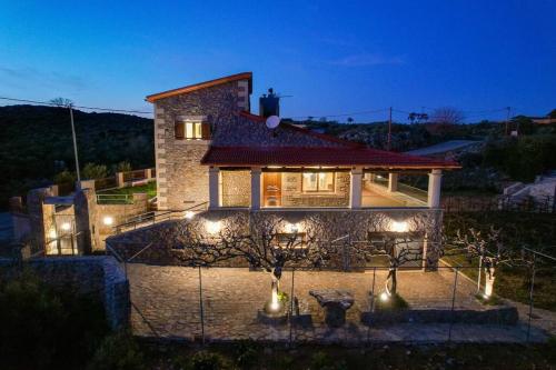
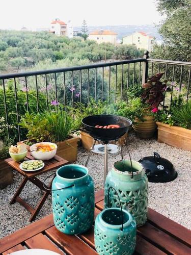
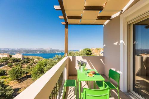
Featuring garden views, Villa Recluso-3 bd luxury country villa, individual bbq & large yard, mountain view offers accommodation with a patio and a coffee machine, around 12 km from Conference Centre of MAICh. This property offers access to a balcony, free private parking and free WiFi.
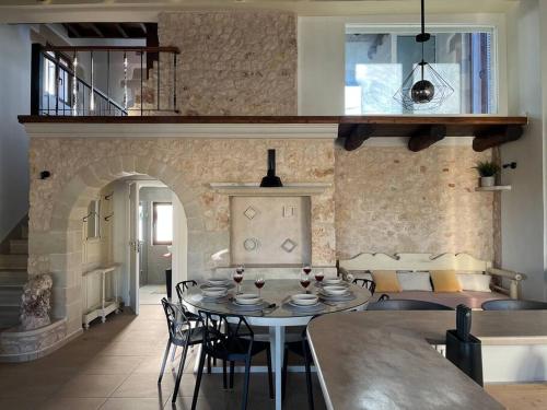
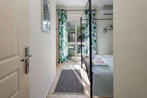
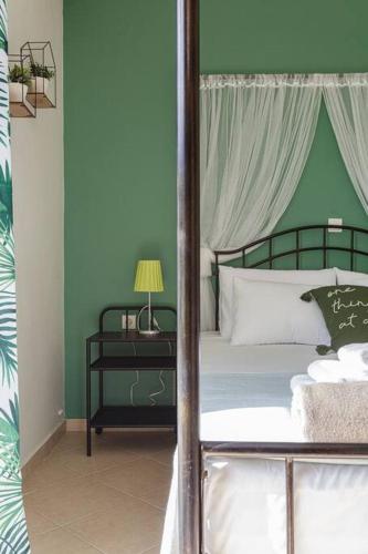
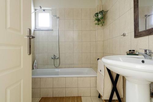
The villa is fitted with 3 bedrooms, 2 bathrooms, bed linen, towels, a flat-screen TV, a dining area, a fully equipped kitchen, and a terrace with mountain views.
Guests can relax in the garden at the property.
Municipal Art Gallery of Chania is 13 km from the villa, while Mitropoleos Square is 13 km away. The nearest airport is Chania International Airport, 23 km from Villa Recluso-3 bd luxury country villa, individual bbq & large yard, mountain view.
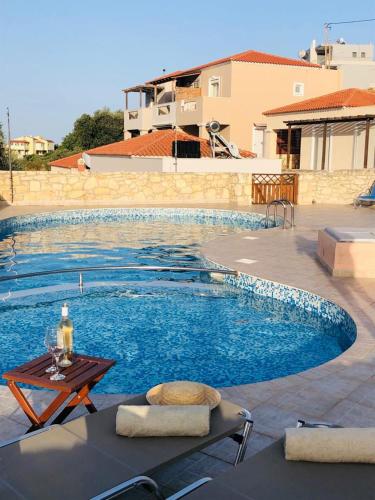
Boasting air-conditioned accommodation with a private pool, garden view and a terrace, Villa Alysso with shared pool is set in Megála Khoráfia. This property offers access to a balcony and free private parking.
With free WiFi, this 2-bedroom villa offers a cable flat-screen TV, a washing machine and a kitchen with a dishwasher and oven. Towels and bed linen are offered in the villa.
The villa offers a picnic area. Guests can relax in the garden at the property.
Archaeological Museum of Rethymno is 46 km from Villa Alysso with shared pool, while Ancient City of Aptera is 2.6 km from the property. The nearest airport is Chania International Airport, 20 km from the accommodation.
from
€133
/night
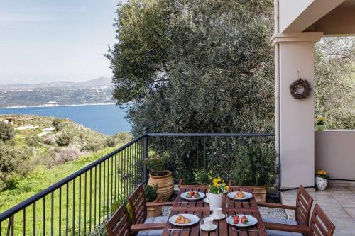
Boasting air-conditioned accommodation with a private pool, pool view and a balcony, Joel Living Collection – Rustic Villa is situated in Áptera. It features garden views and free WiFithroughout the property.
The villa with a terrace and mountain views has 3 bedrooms, a living room, a flat-screen TV, an equipped kitchen with a dishwasher and an oven, and 2 bathrooms with a bath. Towels and bed linen are available in the villa.
A car rental service is available at the villa.
Kalami Beach is 3 km from Joel Living Collection – Rustic Villa, while Archaeological Museum of Rethymno is 45 km from the property. The nearest airport is Chania International, 20 km from the accommodation, and the property offers a paid airport shuttle service.
from
€182
/night
Set in Tsikalariá in the Crete region, KOEV slow living has a terrace. The accommodation is 3.3 km from the Conference Centre of MAICh and features free WiFithroughout the property.
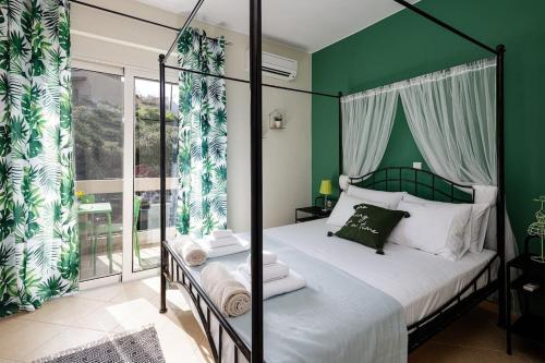
The air-conditioned apartment consists of 1 bedroom, a living room, a fully equipped kitchen with an oven and a coffee machine, and 1 bathroom with a shower and slippers. Towels and bed linen are featured in the apartment.
A car rental service is available at the apartment.
Archaeological Museum of Chania is 6.8 km from KOEV slow living, while House-Museum of Eleftherios Venizelos is 6.8 km away. The nearest airport is Chania International Airport, 14 km from the accommodation.
from
€124
/night
No results available
Connect with thousands of Crete visitors and boost your bookings.
No results available
© All rights reserved. Crete Locals