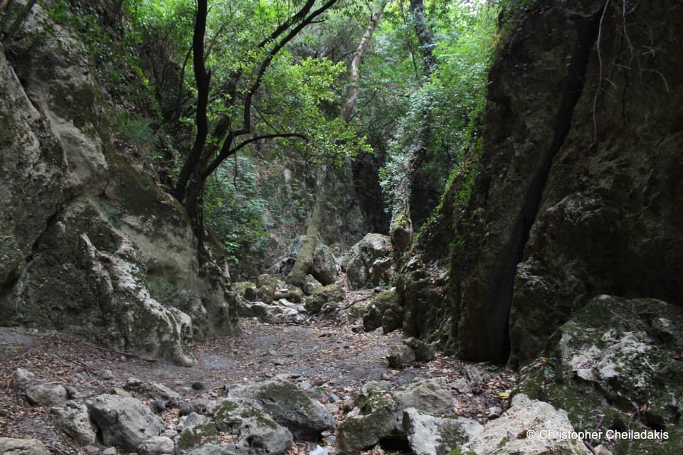
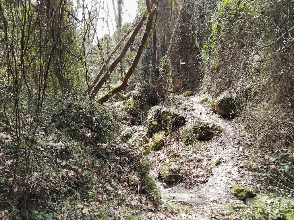
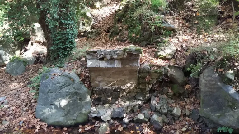
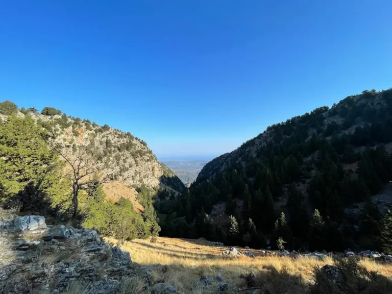
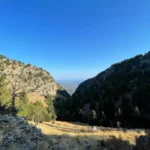
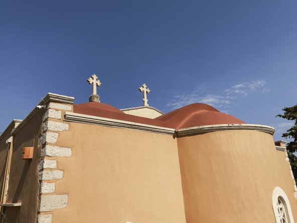
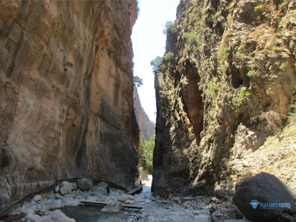
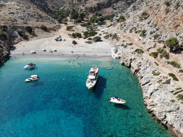
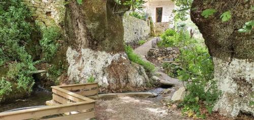
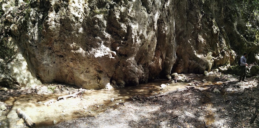
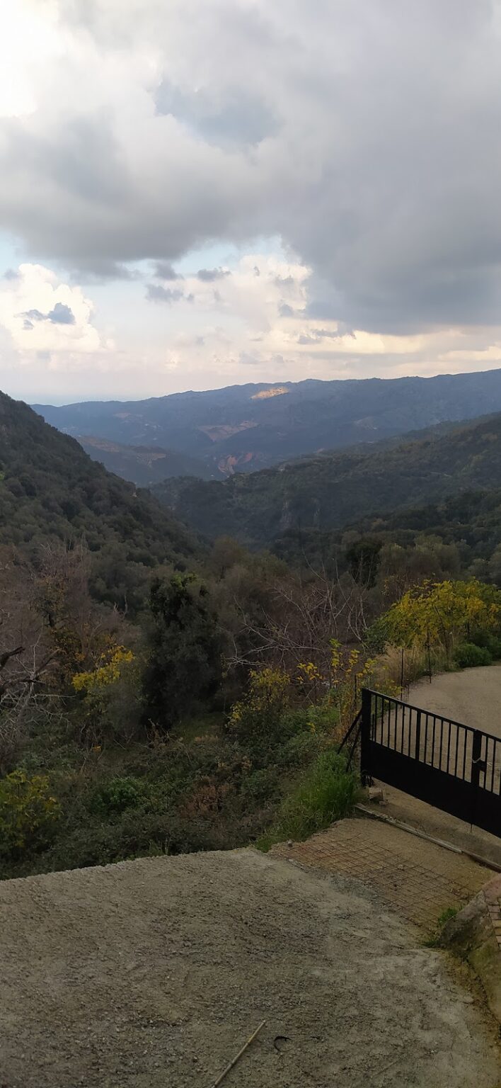
In the mountainous region of Kydonia near Chania, nestled at the base of the White Mountains, you’ll find the picturesque Kydoni gorge. Named after the area, not the Greek word for “quince” which is also kydoni, this gorge is one of the most verdant in Crete, boasting lush vegetation with trees towering over twenty meters high. The journey begins in the village of Karanou, starting at the site of an ancient fountain. A downhill path takes you through a breathtaking centuries-old olive grove, past the church of Saint Demetrius (Agios Dimitrios) with its remnants of old frescoes, and finally to the stream bed. The greenery is abundant throughout the gorge, with sunlight only filtering through in a few places, making it a perfect spot for a cool walk on a hot, sunny day.
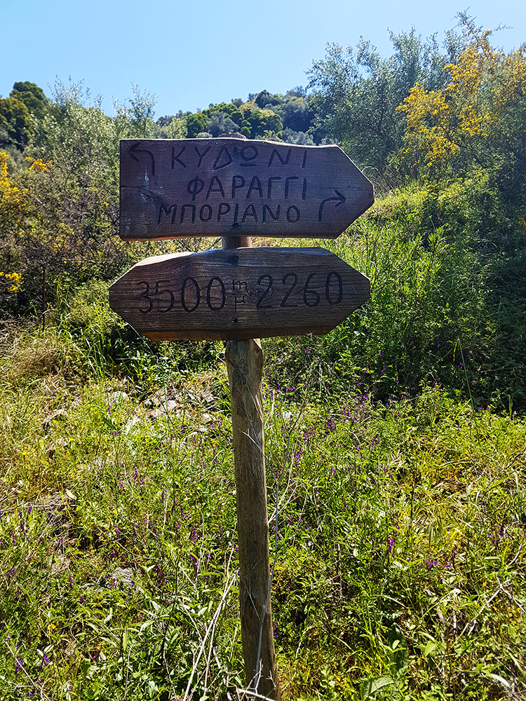
The trail that traverses the gorge is one of the most well-marked in Crete, with signs posted every 500 meters indicating the distance. The entire route is 2 km long, ending where the Kydoni stream meets the Platanias river tributary, Mavropiliotis, in the Mavra Pila area. The name Mavra Pila translates to “dark muddy soil” in the Cretan dialect, a fitting description for the blackish soil that turns into black mud when wet.
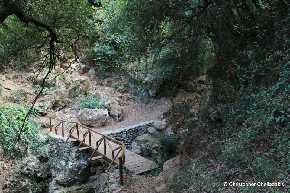
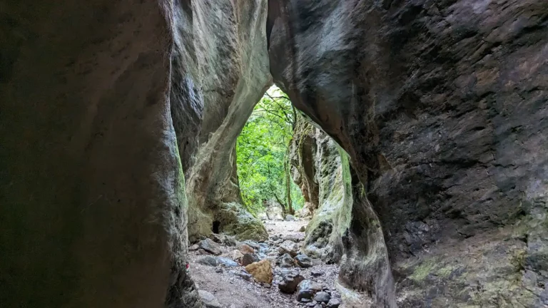
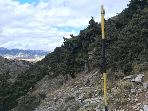
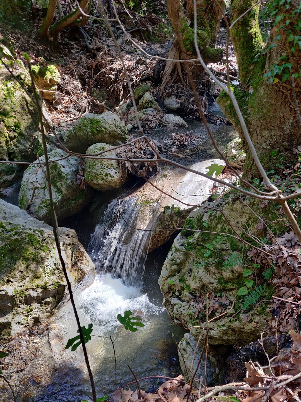
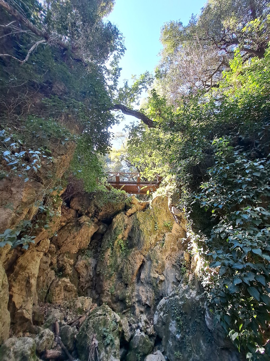
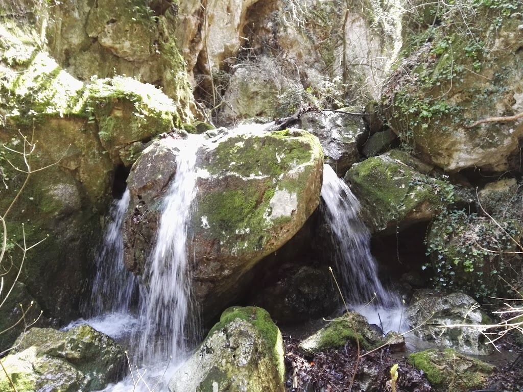
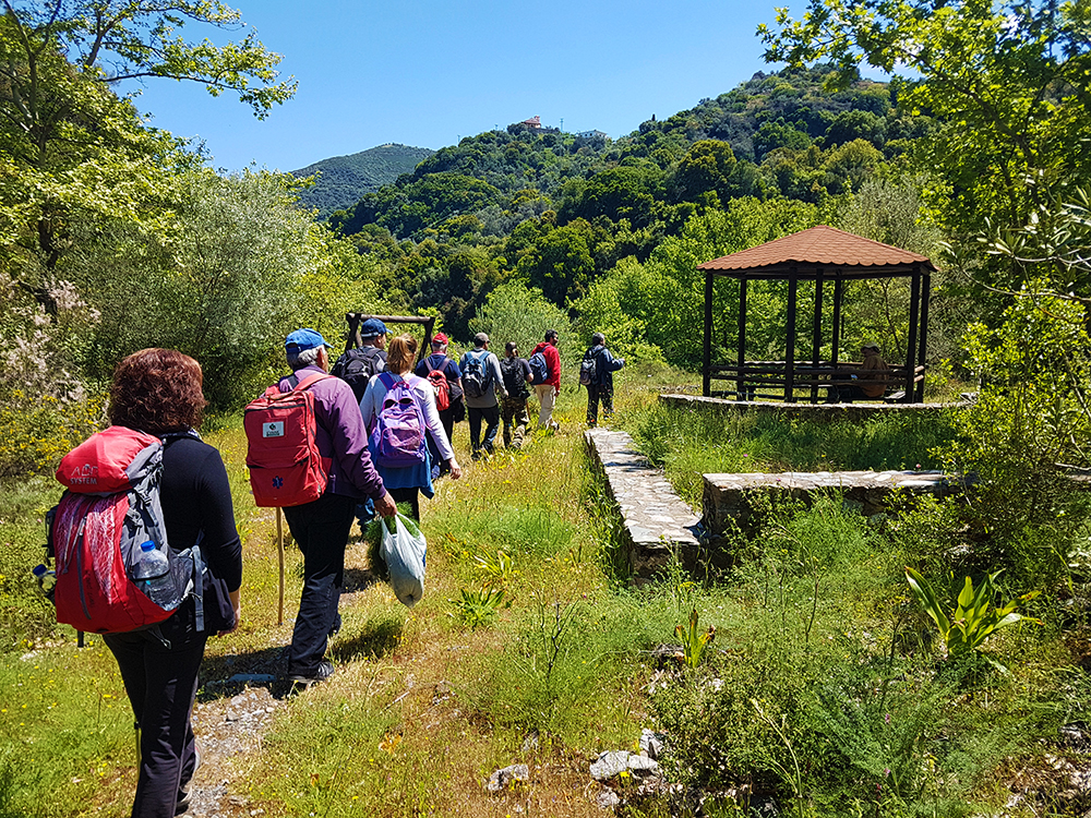
The trail continues from the end of the Kydoni gorge into the Boriano gorge, which runs parallel to Kydoni and originates from the Boriana neighborhood in Karanou. The Kydoni stream is typically dry throughout the year, only filling with water during the heavy rains of winter. Along the route, there are 2-3 small waterfalls, with the tallest one crossed by a charming wooden bridge that leads to a rock shelter adorned with small stalactites. The descent through Kydoni takes about an hour of hiking. Towards the bottom of the gorge, you’ll find two old trails leading to the nearby settlement of Skordalou.
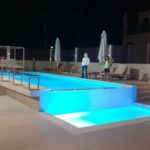
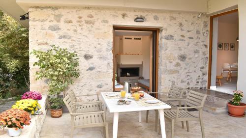
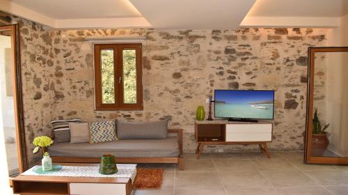
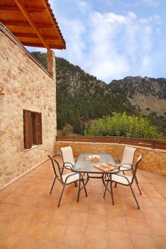
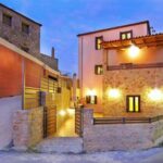
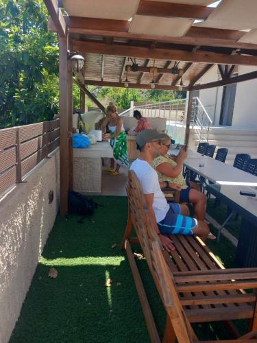
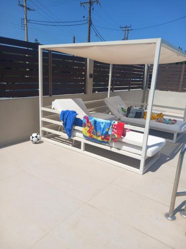
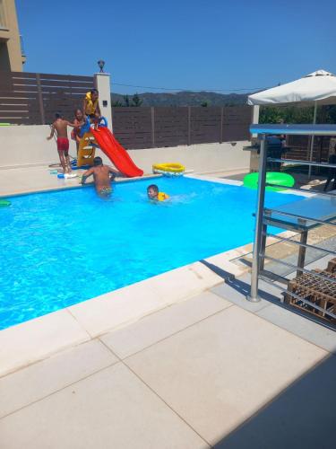
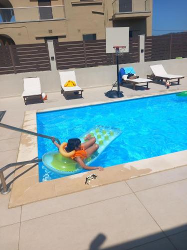
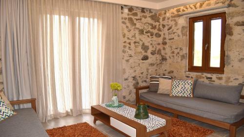
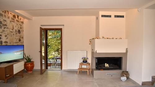
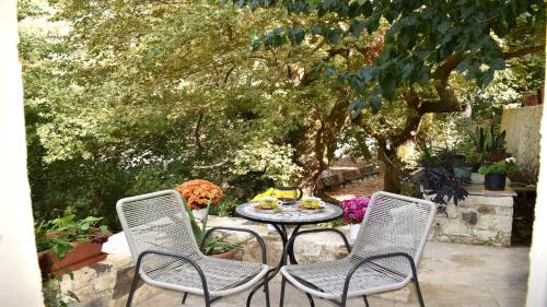
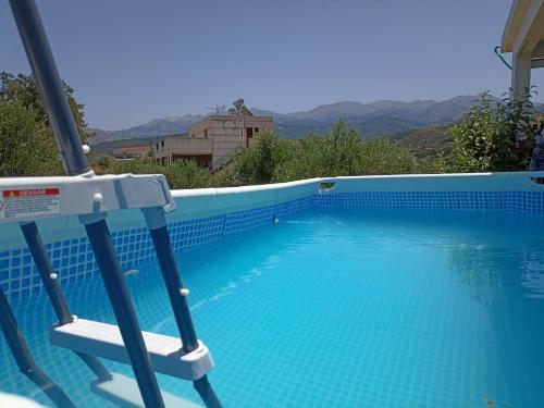
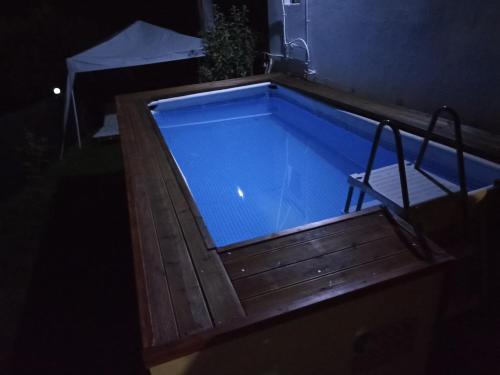
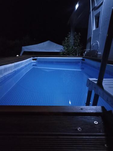
Boasting air-conditioned accommodation with a private pool, pool view and a patio, Giannis Villa is set in Skinés. This property offers access to a balcony, free private parking and free WiFi.
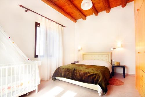
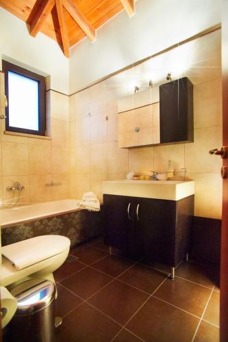
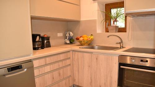
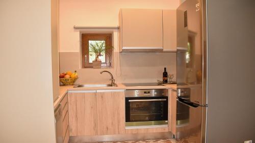
The villa with a terrace and mountain views has 3 bedrooms, a living room, a flat-screen TV, an equipped kitchen with a dishwasher and an oven, and 3 bathrooms with a hot tub. Towels and bed linen are offered in the villa.
The reception at the villa can provide tips on the area.
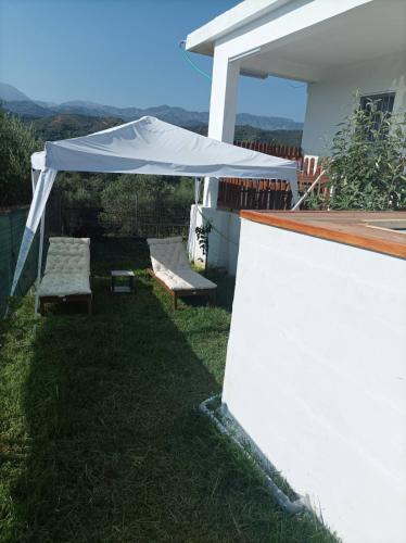
Guests can relax in the garden at the property.
Botanical Park & Gardens of Crete is 5.5 km from Giannis Villa, while Limnoupolis is 11 km from the property. The nearest airport is Chania International Airport, 28 km from the accommodation.
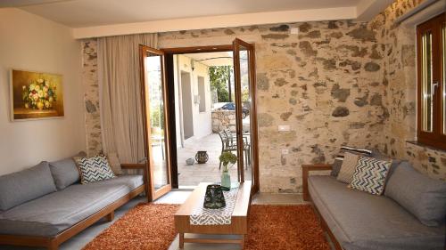
Situated in Mesklá, 7.2 km from Botanical Park & Gardens of Crete and 15 km from Limnoupolis, Platanus House features air-conditioned accommodation with a balcony and free WiFi. With garden views, this accommodation offers a patio.
The villa with a terrace and mountain views has 2 bedrooms, a living room, a flat-screen TV, an equipped kitchen with a dishwasher and an oven, and 2 bathrooms with a walk-in shower. Towels and bed linen are available in the villa.
The villa offers a picnic area. Guests can relax in the garden at the property.
Agios Dimitrios Church is 18 km from Platanus House, while Platanias Square is 18 km from the property. The nearest airport is Chania International Airport, 31 km from the accommodation.
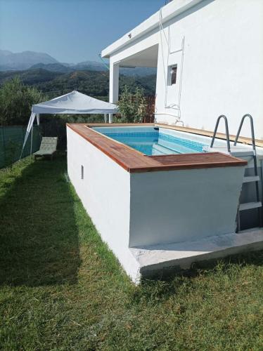
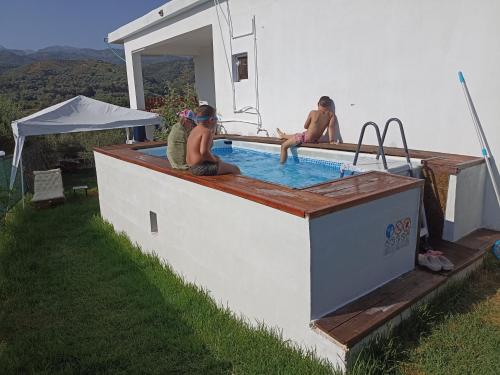
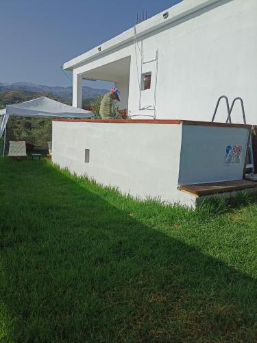
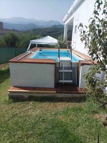
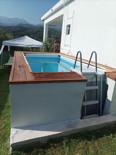
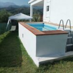
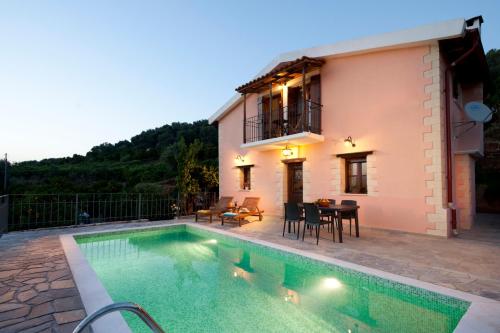
Boasting air-conditioned accommodation with a private pool, pool view and a balcony, Chania Mini Villas is situated in Skinés. This property offers access to a patio and free private parking.
The holiday home with a terrace and mountain views has 1 bedroom, a living room, a flat-screen TV, an equipped kitchen with an oven and a fridge, and 1 bathroom with a walk-in shower. Towels and bed linen are available in the holiday home.
Guests can also relax in the garden.
Botanical Park & Gardens of Crete is 6.4 km from the holiday home, while Limnoupolis is 12 km from the property. The nearest airport is Chania International Airport, 28 km from Chania Mini Villas.
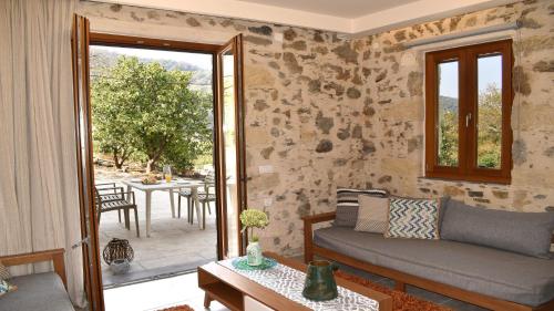
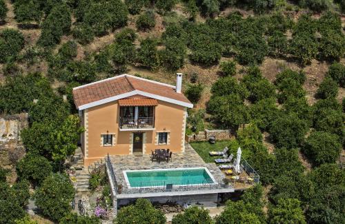
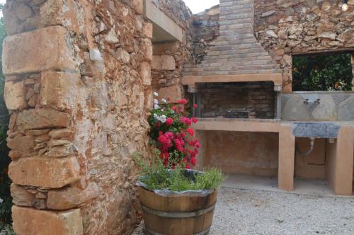
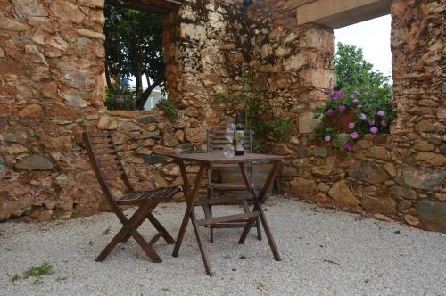
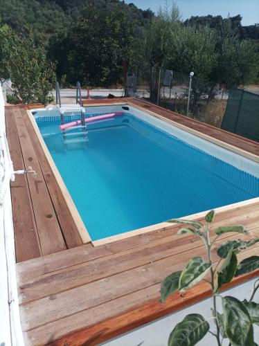
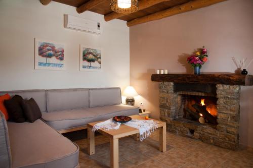
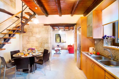
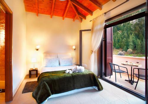
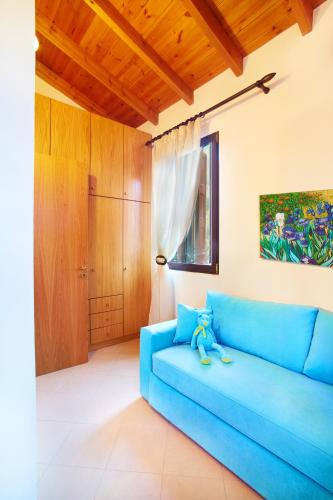
Quietly located in Fournes village, Citrea Villa offers an outdoor pool and free bikes. This stone built, split-level accommodation opens out to a balcony and terrace with garden, mountain and pool views. Free WiFi is provided throughout.
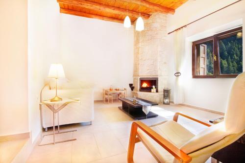
Fitted with beamed ceiling, Citrea Villa features handmade wooden furniture. It includes a fireplace and flat-screen, satellite TV in the living room. A fully equipped kitchen, a dining area and a washing machine are also provided. The villa comes with 2 bedrooms and 2 bathrooms.
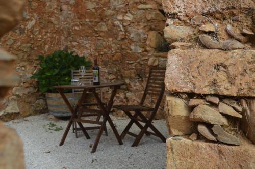
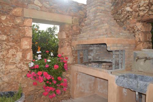
At Citrea Villa you will find barbecue facilities. Activities in the surrounding area include cycling and hiking.
Souda Airport is located 32 km away and Souda Port lies within 15 km. The property offers free parking.
Featuring inner courtyard views, Olga’s Organic garden Home for a couple! with Wifi & AC provides accommodation with a patio and a coffee machine, around 10 km from Limnoupolis. The air-conditioned accommodation is 4.1 km from Botanical Park & Gardens of Crete, and guests benefit from private parking available on site and free WiFi.
The holiday home is equipped with 1 bedroom, 1 bathroom, bed linen, towels, a flat-screen TV with cable channels, a dining area, a fully equipped kitchen, and a terrace with garden views.
Guests can relax in the garden at the property.
Agios Dimitrios Church is 14 km from the holiday home, while Platanias Square is 14 km away. The nearest airport is Chania International Airport, 27 km from Olga’s Organic garden Home for a couple! with Wifi & AC.
Villa Zourva is a self-catering accommodation located in the traditional village of Zourva. It offers unobstructed views of the surrounding mountains from its balconies. Chania Town is 23 km away.
Including beamed ceilings and stone-built features, accommodation will provide you with a satellite, flat-screen TV, air conditioning and a fireplace. There are also a full kitchen with cooking equipment, and a bathroom with a bath and hairdryer.
At Villa Zourva you will find BBQ facilities. A restaurant is just 20 metres away.
Souda Airport is within a distance of 40 km. The owners can help with car rentals. Parking is possible on site.


