Beaches with Fine Pebbles on Crete Island

Find a beach with Fine Pebbles near you

Discover the exceptional beauty of Crete’s pebble beaches, each distinguished by its unique allure. Our website features 103 such destinations, and here’s a glimpse into what they offer.

Voulisma, famous for its pebble-studded shoreline and crystal-clear waters, provides a vibrant snorkelling experience due to its rich marine life. On the other hand, St. Paul Sandhills offers a secluded retreat for those seeking tranquillity. Its pebbly shores and azure waters are surrounded by towering cliffs, making it an unparalleled spot for meditation or yoga.

Kedrodasos, an exotic beach adorned with cedar trees and fine pebbles, is a haven for eco-lovers. In contrast, the historical Spinalonga beach, with pebbled stretches near the Venetian fortress, connects you with Crete’s rich past. Whether you’re an adventure seeker, a peace chaser, or a history enthusiast, these pebble beaches of Crete promise a memorable coastal escape. Don’t forget to check the water quality and local amenities of each beach listed on our site, ensuring your comfort and safety during your visit.

  • Kimzou Sea Lounge Beach
  • Fine Pebbles, White Sand
  • Normal
  • Blue, Deep blue

The charming Kimzu Sea Lounge isn’t just a fantastic bar, but also hosts an enchanting beach with shimmering white pebbles and sand, lapped by crystal-clear waters. The beach is located just 1 km away from Lake Voulismeni in Agios Nikolaos.

The beach offers full amenities, including an ample supply of sunbeds and umbrellas. Unique to this locale, visitors get to recline on lush, cool grass rather than hot sand, a delightful departure from typical beach experiences.

Despite its small size, the beach doesn’t usually feel crowded, offering ample space for all visitors. The water is shallow and inviting, making it particularly popular with families with young children. Strategically placed anti-wave blocks, about 120 meters off the coast, ensure the beach remains free of large waves, adding to its serene atmosphere.

Adjacent to the bar, a park provides additional recreation options, featuring a large children’s playground and a basketball court. It’s an idyllic spot for spending an entire day, from sipping on a rich Greek coffee in the morning, enjoying a delicious lunch and dinner, to toasting the day away with craft cocktails in the evening. The Kimzu Sea Lounge truly offers a comprehensive beach-bar experience.

  • Triopetra beach
  • Fine Pebbles, Pebbles, Sand
  • Normal
  • Blue

Triopetra beach, nestled at the base of Mount Siderotas and 52km south of Rethymno, can be reached via paved roads leading from either Akoumia or Sachtouria. Part of the extensive Akoumiani Gialia beachfront, Triopetra got its name as a historical winter refuge for the inhabitants of Akoumia, who built small huts near their olive groves. Presently, most land and hotels in the area are owned by descendants of these Akoumia residents.

Triopetra boasts two distinct beaches, separated by a petite peninsula. The peninsula’s defining feature is the three spectacular rocks jutting out from the sea, giving Triopetra its name, which translates to “Three Rocks”.

The first beach, Small Triopetra or Koumado, resides in an enclosed bay lined with sand and rock to the south of the three rocks. Here, the Akoumianos river meanders into the sea, forming a natural boundary between Triopetra and the enchanting Agios Pavlos Sandhills at Cape Melissa. Small Triopetra hosts a handful of taverns and rooms, with umbrellas available for sun-seekers. Additionally, the southeast edge of the beach is home to a small harbour, known as Stomio or “mouth”, named after the river’s mouth meeting the sea. Just 1km northeast of the beach, the awe-inspiring chapel of Prophet Elias stands on a high hill, commanding an impressive view over Akoumiani Gialia.

  • Stefanou beach
  • Fine Pebbles
  • Deep
  • Deep blue

Stefanou Beach, found at Seitan Limania (which translates to “satan harbours”), is situated 22km northeast of Chania and 2km east of the village of Chordaki. This intriguing location is on the eastern side of Akrotiri Cape. Named Seitan Limania due to the untamed landscape, steep cliffs, and powerful sea currents perceived as dangerous, it features three parallel, narrow, well-sheltered coves.

The northern cove is home to the breathtaking Stefanou beach, with its deep, azure waters. The beach is decorated with fine pebbles and sand, carried from a nearby quarry through the Diplohahalo canyon. To the right and left of the cove, towering marble rocks stand guard, protecting the beach from inclement weather. Its reputation has grown quickly since 2010 when an asphalt road made it more accessible; during peak season, it can get crowded, so arriving early is advised.

The road leading to Seitan Limania beach is a bit curvy and steep, but it should not be a problem for those who have driven on mountain roads before. The road has been recently paved, and during the drive, one can enjoy the natural beauty of Crete. The asphalt road descends abruptly and ends at a parking area near the beach. It is essential to put the handbrake on when parking the car and use stones to secure the tires.

To reach the beach, park the car near the church of Agios Spyridon and walk for 10-15 minutes down the path. Wearing trainers is recommended as the path can be slippery, and flip-flops should be avoided.

Seitan Limania beach does not have any amenities, which is why it is not crowded, but it is essential to bring water (at least a litre per person), sunscreen, towels, food, drinks, and entertainment such as headphones or a book.

The beach is magnificent, with soft sand and crystal clear blue waters, and one can also encounter friendly goats.

  • Matala beach
  • Fine Pebbles, Sand
  • Deep
  • Blue, Green

The beach of Matala is situated 68km southwest of Heraklion, where the Messara plain and Asteroussia Mountains intersect. It is one of the most frequented tourist spots in Crete and the most well-known beach in the southern region of the Heraklion prefecture. Matala is notable for its rock-carved caves and its association with the hippie culture of the 1970s. It lies in close proximity to Phaestus, the second largest palace of the Minoan civilization, having once served as its port. During the era of the Romans, Matala transformed into a port for Gortyn.

Nestled at the end of a small valley, Matala overlooks an enclosed bay with a picturesque view of the Paximadia islands. The beach spans 300m and features beautiful sandy shores, fine gravel, and crystal-clear deep waters. However, parts of the seabed, particularly the central area, are quite rocky and waves are common due to frequent westerly winds. A large cave can be found on the northern part of the beach, from which some thrill-seekers dive.

Matala beach is well-equipped with amenities such as umbrellas, restrooms, showers, lifeguards, first aid facilities, beach volleyball courts, snack bars, water sports, excursion boats, and a camping site. The surrounding area of Matala offers a range of accommodation, dining, and entertainment options. The beach is largely shaded by tamarisk trees, providing a respite from the sun. Come evening, the beach bars are brimming with people, both locals and tourists. The internationally acclaimed Matala Festival draws large crowds every June.

  • Agiofarago beach
  • Fine Pebbles
  • Deep
  • Deep blue

Agiofarago Beach, is a picturesque beach situated about 80km south of Heraklion city. To get there, you can opt for a 25-50 minute scenic trek through the Agiofarago Gorge or a boat ride from Matala, Agia Galini, Kokkinos Pirgos, or Kali Limenes. If you decide to trek through the gorge, you’ll enjoy a beautiful journey surrounded by towering walls. On your way, you will pass large caves inhabited by hermits from the nearby Odigitria Monastery and the charming St. Anthony’s chapel with its small brackish water well.

The end of the gorge route will bring you to the stunning Agiofarago Beach, where clear blue waters and fine pebbles are framed by towering cliffs. A unique rock formation to the west creates an enchanting swimming spot. However, it’s worth noting that due to the area’s religious significance in Crete, naturism is discouraged.

For those seeking an adventure in the afternoon, sturdy footwear is recommended to climb the eastern cliffs for an awe-inspiring view. A short walk to the southeast will reveal Vourvoulitis, a hidden saltwater lake surrounded by steep cliffs, linked to the sea via an underwater passage. Be careful, as the descent to the lake can be perilous.

To reach Agiofarago Beach from Heraklion, drive towards Sivas village and then to the Odigitria Monastery. From Odigitria, follow the dirt road leading to St. Anthony’s Church. After about 4km, turn right at the Agiofarago sign and continue until you reach a small plateau that serves as a parking area. However, avoid parking under trees to prevent goats from damaging your car while they’re trying to eat the tree leaves. A 30-minute walk through the gorge will then lead you to the stunning beach. Along the way, you’ll pass St. Anthony’s small church and Goumenospilios cave. For those arriving by boat, the rocky islet of Papadoplaka, located opposite Agiofarago and known for its small sea salt ponds harvested by locals, is worth a visit.

  • Vai beach
  • Fine Pebbles, Sand
  • Shallow
  • Blue, Green

Vai beach is located 94km east of Agios Nikolaos and 24km east of Sitia. It is the most famous beach in east Crete, as its main feature is the large palm grove with the Cretan Date Palm (Phoenix theophrasti). Its name derives from the word vai, meaning palm in Greek. The palm grove is the largest in Europe with approximately 5000 trees, while there are smaller colonies in other parts of Crete and in Southwest Turkey. According to the legend, the trees have grown from discarded date stones thrown into the sea by Saracen pirates. However, the palm grove is more than 2000 years old and the pirates are more recent. Thus this hypothesis has changed and the Saracens have been replaced with Phoenicians, that governed the Mediterranean Sea 20 centuries ago.

The heavenly palm grove is planted in a wide valley watered by the local river for centuries. An exotic sandy beach with whitish sand is formed near the shore, backed by the Edenic palm forest, reminding of African and Caribbean seascapes. The entire region is owned by the powerful Toplou Monastery, which is the largest landowner in eastern Crete. The 15th-century monastery is built like a fortress and hosts a great collection of Byzantine icons.

Vai was totally unknown until the early 1970s, when a popular commercial for the Bounty chocolate with coconut was filmed here, using the magical background of palm trees. In the advert, coconuts were falling from trees, however, Vai palms produce dates. Consequently, coconuts had to be falsely hung to create the right impression. The ad made this unknown earthly paradise renowned throughout the world. Thus, hundreds of hippies started to stay here on their holidays. In the 1980s, when hippies faded out, Vai was invaded by backpackers and rapidly degenerated into a rubbish-strewn campground. The palm grove was consequently fenced off and proclaimed a conservation area, being open to the public only during daylight.

The beach has whitish sand and flat turquoise waters. In a few places, there are slippery smooth rocks, while on the opposite there are small islets that beautify the landscape. The beach is slightly organized (whatever the protection scheme allows) with umbrellas, showers, water sports and a canteen. The closest rooms to let are located outside the protected area (15′-25 ‘walk). If you want to stay isolated, there is a lovely sandy beach 5 minutes north of Vai, while another option is the idyllic Psili Ammos beach in the south.

If you come by car then you should leave it in the parking area. There are also buses running from Sitia and all travel agencies in Crete organize daily tours. The only drawback of Vai is that from the first moment you think that someone wants to dip into your pocket. Indeed, prices for parking, umbrellas and the canteen are too high. However, Vai is one of the most special beaches in Crete that surely deserve a visit.

  • Ligres beach
  • Fine Pebbles
  • Normal
  • Blue

Situated 51km to the south of Rethymno and 7km below the village of Kerames, Ligres is nestled at the base of the grand Siderotas mountain. It forms the northern segment of the Akoumiani Gialia beachfront, which runs from the cape of Mellissa to the south.

Ligres is an expansive beach graced with rough sand and a spectacular deep sea. Its somewhat challenging access has thankfully deterred the encroachment of tourism, preserving it as one of the most serene, secluded and pristine beaches on the island. Although the beach is not developed, there are a few taverns and rooms available on its western side accessible via a poorly maintained asphalt road. At the beach’s western tip, there is a stunning waterfall that boasts a year-round water supply, cascading right next to the sea.

Beyond the northern end of the beach, also known as Katsouni, lies a secluded beach favored primarily by nudists. Despite its seclusion, there are numerous spots along this vast, uninhabited beach where nude swimming is possible. It’s worth venturing along the beachfront to Triopetra, up to the Xiromilia area, to marvel at the astonishing rock formations. In the heart of Ligres, a remarkable reddish boulder stands out near the sea.

  • Agia Fotia beach
  • Fine Pebbles
  • Normal
  • Deep blue

The beach of Agia Fotia is situated 45km southeast of Agios Nikolaos and 12km east from Ierapetra. It’s a small bay nestling at the outlet of a stream flowing down from the Thripti mountain. The name of the settlement is derived from the local Church of Agia Fotini, also known as Agia Fotia. The stream is cloaked by enormous plane trees, while the bay is encircled by conglomerate cliffs, adding to the enchanting landscape.

This beach is well-known and a favourite among the inhabitants of the city of Ierapetra. Its shores are covered in coarse greyish sand, while the water is crystal clear and tranquil. The beach is well-equipped with amenities including beach bars, taverns, and hotels. There are tamarisk trees on the beach where one can find shade. Additionally, beach volleyball tournaments are hosted annually at the local court, a recent tradition that has added to its popularity.

  • Myrtos beach
  • Fine Pebbles, Sand
  • Normal
  • Blue

Myrtos, a quaint seaside village, lies 13km west of Ierapetra where the River Kryos meanders through the stunning Sarakina Gorge and into a valley abundant with greenhouses and citrus groves. Despite recent mild development, Myrtos has retained its traditional charm. Its appealing beaches, characterized by coarse grey sand that doesn’t stick to the skin, have amassed a global following. The village offers small hotels, bars, cafes, restaurants, supermarkets, a gas station, and a clinic, in addition to a nearby pharmacy and accessible bus route to Ierapetra.

The extensive beach, considered among the finest in southern Crete, is ideal for serene family vacations as it’s sheltered from strong winds. According to locals, Myrtos is where the wind never rages. The beach is well-equipped with lifeguards, umbrellas, showers, changing rooms, cafes, restaurants, water sports, and beach volleyball. As you head west, the beach widens and offers even more tranquility.

Take a leisurely stroll around Myrtos’ local harbor or wander through its traditional narrow streets filled with lush gardens and homes that echo Aegean landscapes. The surrounding nature and gorges are also worth exploring. Notably, you can visit two Minoan settlements, Fournou Korifi (near Nea Myrtos) and Pirgos (on the east shores of the River Kryos), which were uncovered during excavations. The Archaeological and Folk Art Museum of Myrtos, situated next to the old church of St. Anthony, is a point of interest. Lastly, a monument in the village commemorates the 18 victims who were executed by the Nazis in 1943 as retribution for the deaths of two Germans in the neighboring village of Symi.

  • Domata beach
  • Fine Pebbles, Pebbles
  • Deep
  • Deep blue

The picturesque Domata beach, positioned 7km east of Sougia and 58km south of Chania city, resides at Tseses. This beach marks the end of the Klados gorge, a wild and rugged landscape. Its unique natural beauty is a result of the erosive power of water. The name Domata, translating to “roofs”, is derived from the layered structure of the surrounding conglomerate rocks, reminiscent of enormous walls. The beach owes its creation to the large amounts of pebbles and dirt deposited by the gorge, and the continuous oscillation of the sea and air.

The beach is striking, with its fine pebbles and transparent blue waters. By digging in the sand, you can discover fresh water from subterranean springs. As anticipated, the area is devoid of roads and infrastructure. However, the abundant pine trees near the beach provide natural shade and ideal camping spots. The southernmost section of the beach, separated from the main beach of Domata by rocks, is known as Kolotrividis, named after the adjacent cape.

You can reach Domata via the E4 European trail, which heads east and guides you to Agia Roumeli (a 3 -4 hour walk). Be cautious though, as the trail ascends to an altitude of 700m, with some sections being steep and potentially hazardous.

  • Menies beach
  • Fine Pebbles, Pebbles, Rocks in places
  • Normal
  • Blue, Deep blue

Menies, also known as Diktynna, is situated 45 kilometers northwest of Chania, on the northeastern coast of the Rodopos Peninsula and at the mouth of the Foundas Gorge. This secluded beach is characterized by its pebbles and the deep, crystal blue of its waters. Protected from the prevalent winds in the region, Menies offers a haven of solitude, far from the hustle and bustle of city life. With no signs of modern civilization for miles, visitors are advised to come prepared with all necessities. The journey to Menies beach can be challenging, as it involves a 23-kilometer ride on a dirt track, beginning from the village of Rodopos. This road, though unpaved, leads to the beach but isn’t suitable for low-slung vehicles. An alternative route to Menies is via small boats that depart from Platanias harbor.

Menies sits on the historical site of ancient Diktynna, which was the primary temple of the goddess Vritomartis, the Cretan counterpart of Artemis. This sanctuary used to draw worshippers from all over the island, who would travel via a road that linked the sanctuary to the town of Polirinia. Some sections of this paved road are still intact across the Rodopos peninsula. Vritomartis was worshipped here during the Hellenistic and Roman periods. Today, a few remnants of the ancient Roman temple can still be seen, although no traces of the Hellenistic temple have been discovered.

Roughly one kilometer southwest of the beach, visitors can explore the ancient monastery of St. George, constructed in the 9th century. The monastery was later abandoned during the pirate invasions, but the 16th-century lookout tower used to spot incoming pirate ships can still be seen in the monastery’s courtyard.

Several small bays can be found between Menies and Afrata, formed at the mouths of small streams and accessible either on foot or by boat. The most picturesque of these is Xeronissia, situated beneath the Saint George monastery.

  • Zakros beach
  • Fine Pebbles
  • Normal
  • Blue

Kato Zakros, a quaint fishing village, is nestled 107km east of Agios Nikolaos and 40km east of Sitia. It serves as the scenic port of Ano Zakros village, which is located 7km to the west, amidst a fertile valley bordered by rugged mountains and lush olive groves. This remote corner of Crete provides the perfect escape for those seeking tranquillity and an escape from the bustling city life, making it a favourite among families.

The village, though small, offers all the fundamental amenities without the trappings of luxury. The villagers primarily focus on the production of world-class olive oil. Rich in archaeological sites, including the renowned Minoan palace of Zakros, the village retains its natural beauty with limited construction. However, you will find a few accommodations, taverns, mini markets, pharmacies, and petrol stations. Regular bus services from Sitia also connect the village. The warm and welcoming locals will make you feel right at home.

The serene beach fringing the village is nestled within a large protected bay. Comprising mainly pebbles and occasional rocks, the beach boasts tranquil waters, offering a peaceful retreat even during the busy month of August. The rocky seabed is a paradise for fishing enthusiasts.

When in Kato Zakros, the famous Gorge of Zakros, ominously known as Deads’ Gorge, is a must-visit. Named after the many Minoan graves discovered within its cavernous sides, the gorge offers an adventurous hike from Zakros village that takes around two hours. The Minoan palace of Zakros, the fourth largest after Knossos, Phaestus, and Malia, is a significant archaeological site located near the gorge’s exit. It houses numerous artistic masterpieces from 1900BC and is open to the public, with the most significant findings displayed at the Archaeological Museum of Heraklion.

An old dirt road leading to Zakros, offering breathtaking views of the Gorge’s steep cliffs, is worth exploring if you have a car. Upon reaching the village, take a leisurely stroll through its narrow streets and visit its churches. The springs of Zakros, forming a small oasis amidst the wild landscape of Eastern Crete, are also worth a visit.

If time permits, a boat trip (or rigorous hike) to the secluded Cave of Pelekita could be an exciting expedition. As one of Crete’s largest caves, it has traces of Neolithic habitation. A nearby quarry, presumably used by the Minoans for constructing the palace of Zakros, is also an interesting sight.

  • Skinaria beach
  • Fine Pebbles, Rocks in places
  • Normal
  • Turquoise

Located 33km south of Rethymno and 3km south of the village of Lefkogia on Crete Island, you’ll find the small, serene beach of Skinaria (or Shinaria). The beach is situated in the eastern part of the broader Plakias area. Skinaria boasts soft, grey-beige sand and fine pebbles, complemented by the crystal blue depths of the sea. The sea bed is primarily rocky, though the northern part of the beach features sandy terrain.

The area is teeming with life, both terrestrial and marine. Freshwater ponds dot the beach, fed by springs from the Kouroupa mountain. These ponds have fostered lush vegetation around them, giving the area a tropical landscape feel. The local inhabitants claim that the marine life is as vibrant as the terrestrial, and indeed, Skinaria’s seabed is one of the richest on the island. It is home to an abundance of marine creatures, including huge morays, blackfish, and octopuses. Furthermore, the water’s clarity is remarkable, often exceeding 40m horizontally, making it a popular spot for scuba diving centres in Crete.

The beach offers minimal organization, with a local tavern providing a few umbrellas and refreshments. On our last visit, umbrellas and sunbeds were complimentary with a refreshment purchase. Access to the beach is via a narrow, 2km road that begins in Lefkogia. Along the way, an awe-inspiring cylindrical cave can be spotted within a rock on your left.

  • Souda beach
  • Fine Pebbles, Rocks in places
  • Normal
  • Blue, Green

Souda is nestled 41km to the southwest of Rethymno city, and a mere 3km east from the bustling resort of Plakias. Don’t mistake it for Souda Bay, the natural harbour of Chania city. It is, in fact, the final beach along the Plakias seafront, known as Yialia, commencing at Shinaria many kilometers away. Situated at the mouth of a verdant valley, Souda is crisscrossed by the Finikas river, which flows all year round. Cretan palm trees of Theophrastus, native to the area, flourish along the river and numerous other locations, establishing Souda as a significant refuge for the species.

In the midst of this stunning landscape, a sandy beach stretches out, adored by all who visit. However, this affection can quickly turn to annoyance when the northern winds whip up the sand, blasting unsuspecting swimmers. The landscape today bears no resemblance to the secluded paradise of the 90s, where a narrow dirt path led to a rocky shoreline and a sparsely populated nudist beach. While nudists still frequent the area, they no longer enjoy the same level of comfort. The beach is now more accessible with paved roads, organized facilities, umbrellas, and showers. There are several taverns and accommodations nearby. The rocky beach edges offer ideal conditions for fishing and snorkeling. A few benches can be found above the eastern rocks on the main road, offering panoramic views of the South Cretan Sea.

  • Loutro
  • Fine Pebbles, Pebbles
  • Deep
  • Deep blue, Green

Located roughly 71 km south of Chania city on Crete Island, Loutro is a quaint seaside village at the edge of Cape Mouri. This charming village is steeped in history, once being the site of the ancient city of Phoenix and the port of ancient Anopolis. It later served as a winter port for Chora Sfakion, its naturally formed harbour providing safe anchorage for ships even amidst harsh weather conditions.

Loutro makes for an excellent base for exploring the neighbouring beaches, accessible by taxi boat, canoe, or on foot. A small ferry can whisk you away to the stunning Glyka Nera beach to the village’s east. Alternatively, you can opt for a canoe ride or a hike along the E4 trail to the secluded pebbly beaches of Timios Stavros and Pervolaki, with your journey continuing to Glyka Nera. If you prefer to stay within Loutro, the village’s own beach and the extended Keramos beach to the east offer a serene retreat, especially during strong southern winds. These well-maintained pebbly beaches boast calm, crystal-clear waters in shades of deep blue and green. Nearby beaches of Likos, Finikas, and Marmara are also within easy reach by boat or on foot.

Loutro is a haven for those seeking a unique experience away from the bustle of mass tourism. This picturesque fishing village in southwest Crete is devoid of large hotels and swimming pools, crowded streets, restaurants, and beaches, and even cars! The only means of access is by boat or a 1.5-2 hour trek from Chora Sfakion. Daily ferry services operate to and from Chora Sfakion, Sougia, Gavdos island, Paleochora, and Agia Roumeli.

Things to do in Loutro

While in Loutro, you can revel in nature’s beauty by exploring the scenic mountain landscape, valleys, and gorges. Start with a visit to the Koules fort situated above Loutro, then head to the small port of Finikas. The village brims with historic sites, including the Old School, which served as the Chancellor of Sfakia’s seat in 1821, and the ancient Church of Panagia nestled next to it. Marvel at the tall Cretan date palm trees and the ruins of the Castella fort, part of the ancient town Phoenix, and the temple of Apollo just south of the village.

For the more adventurous, a climb to the idyllic village and plateau of Anopolis awaits. This entails a two-hour ascent on a 2000-year-old mule track, culminating in a selection of inviting taverns at the top. You can also explore the Aradena gorge or snorkel in the local waters, home to frequent sea turtle visitors.

Loutro, which translates to “bath” in Greek, was named after the baths discovered in the area, their waters once directed towards nearby Anopolis.

  • Sarandaris coves
  • Fine Pebbles, Rocks in places, Sand
  • Normal
  • Blue, Green

The tranquil beaches of Hersonissos Coves, also known as Limanakia, are located 27km east of Heraklion, extending from Cape Sarandaris to Hersonissos harbour. The beaches are protected from the strong northwest winds by Cape Sarandaris (Sarantari), providing calm waters for visitors. These coves are easily reachable and are situated near the vibrant town of Hersonissos with plenty of bars and cafes.

The western edge of the coves features a concrete dock ideal for diving, nestled on the rocky western side of Cape Sarandaris (Sarantari) near the quaint St. George Sarandaris chapel. A staircase leads to a sunbathing spot with hotel umbrellas and a rocky seabed perfect for swimming and snorkeling.

Further down, at Cape Sarandaris’s base, you’ll discover the breathtaking Sarantari Cape beach, arguably the most picturesque and sheltered beach in Hersonissos. Its sandy beaches, shallow crystal-clear waters, and an intriguing sea cave make it a tranquil alternative to other beaches, despite the challenging descent through steep limestone cliffs.

Contrary to popular belief, Hersonissos also has a stony naturist beach located next to Sarandaris Cape, hidden discreetly by tall cliffs. This sandy, rocky cove provides a peaceful spot for swimming and solitude.

The well-known Sarandari beach comes next, popular among children due to its shallow waters and soft sands. The beach offers umbrellas, sunbeds, and a small canteen for convenience.

Next to Sarandari is Giofyri beach, situated under the main road and supported by a massive concrete wall. With its unique white coarse sand, deeper waters, and rocky seabed, it’s a popular choice among visitors, complete with umbrella and sunbed facilities.

Heading east from Giofyri along the coastal road, a series of small, slim beaches framed by white rocks awaits, their light-blue waters offering a truly mesmerizing sight. This captivating landscape stretches until you reach the large beach in front of the Creta Maris hotel, which extends up to Hersonissos port. This beach is well-equipped with sunbeds, umbrellas, water sports facilities, and a beach volleyball court, becoming busier and more exposed to winds nearer the harbor.

Regardless of whether you decide to swim, a casual walk from the port to Cape Sarandaris offers stunning views of Hersonissos Bay and St. George’s chapel in Sarandaris. At Hersonissos port, consider visiting the lighthouse and the Agia Paraskevi church, partially built into the rock. On Kastri Hill, the remnants of the early Christian Hersonissos basilica and its preserved mosaics are a must-see.

  • Maleme beach
  • Fine Pebbles, Sand
  • Normal
  • Blue

Situated 18km west of Chania, Maleme forms part of the expansive beach that stretches from Kolimbari to the vicinity of Chania. This lengthy bay is adorned with stunning sandy and pebbly beaches, although they are exposed to frequent northerly winds. The beach at Maleme is sandy and the surrounding area is well developed, with all necessary amenities conveniently located near the beach. For those seeking a more secluded spot for a swim, the west end of the beach, adjacent to the old military airport, offers a quieter location.

The name Maleme is believed to derive from the word “Malama”, translating to gold, hinting at the possibility of a gold mine existing in ancient times, although this hasn’t been confirmed. In addition, a domed tomb from the late Minoan period has been discovered near Maleme. Despite having been looted, two cylindrical seals depicting running wild animals were found by archaeologists.

During World War II, Maleme held significant historical importance. It was home to the Allies’ military airport until it was seized by German forces. The Battle of Crete in 1941 saw German paratroopers descend upon Maleme to gain control of the airport. They were met with fierce resistance from local Cretans and Allied forces, leading to substantial casualties on the German side. With only rudimentary weapons at their disposal, the local Cretans dealt a significant blow to the German paratroopers, which drew praise for Cretan patriotism from Hitler himself. This marked the first time in the Second World War where German forces faced strong resistance from a local population. It was also the first large-scale airborne invasion in history, and the last of its kind. The German Cemetery, located on a hill near Maleme, is the final resting place for the 4500 German paratroopers who lost their lives. A monument dedicated to fallen RAF airmen can also be found near Maleme, close to the River Tavronitis bridge.

  • Paximadia islets
  • Fine Pebbles, Pebbles
  • Deep
  • Deep blue

The Paximadia Islands are twin uninhabited islets located off the Gulf of Messara, situated approximately 12km south of Agia Galini. At a distance, they appear as one due to their proximity, but on closer inspection, they are separated by a slender channel known as Bogazi. The locals often refer to these islands as the “Elephant” due to their resemblance to a reclining elephant when viewed from the Messara plane. The collective length of these islets is roughly 3km.

Contrary to common belief, the Paximadia Islands are not merely large barren rocks in the sea, but they also harbor beaches. The smaller of the two islands, the East Paximada, boasts four exquisite tiny beaches with clear waters and picturesque pebbles. These islands are accessible via tour boats departing from Kokkinos Pirgos and Agia Galini.

The West Paximadi, though lesser-known, possesses its own unique charm. It houses a beautiful beach named Varkaki. Starting from Varkaki, the western edge of the island stretches out to the cape of Sakouleva. Sakouleva is a striking spot, often wavy and adorned with a plethora of vibrant colors due to the presence of various rock types on Paximadia. The entire Big Paximadi is a wild landscape with steep cliffs culminating in a pyramid peak, with Sakouleva being the most awe-inspiring spot. A boat ride allows you to reach the edge of Sakouleva and its imposing rock formation. The view extends to the cave of Tzigounas, the largest among the numerous caves on Paximadia.

Historically, these minor islands were under the rule of Phaestos, a powerful and affluent city. They were then known as the Islets of Dionysoi, named after Dionysos, the god of wine. Local lore suggests that the goddess Artemis and nymph Vritomartis hunted here frequently. They were also called Litoai or Letoae, after the goddess Lito, mother of Apollo and Artemis, who was worshipped in Phaestos. One legend even implies that Lito gave birth to Apollo and Artemis on these islands. Presently, they are known as Paximadia, as their form resembles Paximadia, a traditional dry bread named after the Hellenistic cook, Paximus.

  • Lendas beach
  • Fine Pebbles, Sand
  • Shallow
  • Blue

Situated 74km south of Heraklion, on the southern fringes of the grand Asterousia Mountains, is the isolated seaside village of Lendas. This modestly designed tourist resort promises a serene vacation. The journey to Lendas, from Agii Deka near Mires town, via the village of Miamou, is via a narrow paved road that winds through the rough mountains, descending from an elevation of about 1000m to sea level, offering an awe-inspiring view of the Lendas sea.

The vicinity is scattered with beaches, popular among naturists. The beach in the village of Lendas, shielded on the east by Cape Psamidomouri and on the west by the renowned Cape Lion, was once the old port of Lendas, which has since been relocated to Loutra. This beach is the busiest in the area with basic amenities such as umbrellas, showers, sunbeds, and water sports. Beyond the beach, numerous taverns and rental rooms are available. The beach’s trademark is its ducks that wander freely. Additionally, the endangered loggerhead sea turtle lays its eggs on Lendas beach between May and September. For those seeking solitude, the secluded beaches of Dyskos and Loutra are ideal.

Lendas is established on the site of the ancient city Levina, a name believed to be derived from the Phoenician “Lavi” meaning Lion. A lion-like cape located west of the village supports this belief. Legend says this lion was one of the lions pulling goddess Rhea’s chariot and was turned into stone at this location. Another theory suggests the name originates from the Phoenician word “levina”, meaning white, describing the whitish hue of the local rocks. The modern name Lendas is derived from the Greek word “Leondas” meaning lion. This cape, also known as Lion, is an archaeological site that can be visited by a short 15-minute walk to its peak, where you can enjoy a beautiful sunset. Archaeologists have uncovered evidence of early Minoan graves and a settlement, which had ties with Egypt. The ancient city of Levina prospered in the Hellenistic and Roman era, serving as a port for Gortys, the most powerful town in Crete at the time.

East of Lentas, a spring with supposed healing properties can be found. Even today, studies suggest the water aids in healing stomach, blood, and bleeding disorders. Consequently, a massive temple dedicated to the divine doctor Asclepius and Hygeia Sotira was built in the 4th century AC. This temple gained fame as a center for hydrotherapy, physiotherapy, and psychiatry, attracting patients from distant places, such as Libya. Remnants of the temple, a Byzantine church dedicated to Agios Ioannis Theologos, and Roman baths can still be found in the area. Levina was presumably abandoned in the 7th-8th century due to frequent pirate attacks.

East of the village, opposite the Psamidomouri Cape, a rock resembling a crouching elephant can be seen, with another beach formed opposite the rock. Further on, Cape Trafoulas bears a resemblance to a crocodile from Lendas. According to a local legend, Cleopatra once visited Lendas with her favorite animals, namely a lion, a crocodile, and an elephant. She was so enchanted by the place that she left her animals behind when she returned to Egypt. To this day, these “animals” remain there, patiently waiting for Cleopatra’s return.

  • Anissaras beaches
  • Fine Pebbles, Rocks in places
  • Normal
  • Blue

Located 21km east of Heraklion and west of Cape Sarandaris, the tranquil resort of Anisaras is now home to a plethora of large hotels, most of which provide all-inclusive services. Small sandy beaches with rocky seabeds line the front of these hotels, all well-equipped with umbrellas and sun beds mainly offered complimentary to hotel guests.

Although beautiful, the beaches have a generally rocky seabed, making them popular with snorkelers. Regular waves can pose challenges. The beach near Analipsi, however, the longest in the area, is notably sandier. The coastal road of Anissaras starts from here, running along the coast, stopping before the large Anissaras hotel complex, and then extends southwards, passing around the hotels up to Cape Sarandaris. To swim at the hotel-front beaches, one must either stroll along the coast until finding a preferred cove or seek permission from hotel security to cross the hotel grounds.

The small, picturesque chapel of St. George can be found on Cape Sarandaris, offering breathtaking views of Hersonissos’ western coves. It can be accessed by walking eastwards from the hotel beaches or by taking the road that links Anisaras and Hersonissos. Near the cape, a stone footpath leads to the church.

Anisaras is not a structured settlement, but rather a scattering of hotels and holiday homes, limiting dining and entertainment options outside the hotels. However, the close proximity of Hersonissos provides alternatives. Access to Anisaras from Heraklion by bus is slightly problematic, with no direct route available. The buses destined for Hersonissos stop about 2km from the beach, necessitating a taxi.

Contrary to rumors, Anisaras does not derive its name from the plant anise, which is not found in the area. Instead, the name is a corruption of ‘agisaras,’ the Greek name for the plant Cistus creticus (also known as aladania), which is abundant in the region.

  • Koutsounari beach
  • Fine Pebbles, Pebbles, Sand
  • Normal
  • Blue

Koutsounari, a quaint seaside hamlet, lies 6km east of Ierapetra and 43km southeast of Agios Nikolaos. It nestles near the scenic village of Agios Ioannis, set against the backdrop of the Thripti Range. The village is perched on a verdant hill, surrounded by olive groves and pine trees, just a kilometer north of the South Cretan Sea coastline.

A kilometer to the south of Koutsounari is the expansive Long Beach of Agios Ioannis, stretching 5km, one of the longest in Crete. This broad, serene beach features the distinctive coarse grey sand typical of southern Crete. In many spots, tamarisk trees punctuate the landscape, and their length makes the beach appear deserted. The beach is somewhat organized in certain areas (near hotels) and is dotted with hotels, restaurants, mini markets, and a camping site.

If you venture eastward along the beach, you’ll encounter fewer swimmers. On the eastern end of Long Beach, a bay known as Psaropoula (named after an old local tavern) is shaped. Psaropoula features soft sand and tranquil waters, situated in front of a hotel, it is well-equipped with umbrellas, sunbeds, showers, and water sports. The sea here is typically calm, and the rocky seabed makes it a suitable spot for snorkelling.

Beyond Psaropoula lies another small cove boasting a well-appointed beach with umbrellas, showers, and water sports. This beach, located in front of the Kakkos Bay hotel, is called Villa Despot, translating to “Priest’s Villa” in Greek, named after a priest-owned building nestled between the two beaches. The beach is flanked by large rocks that provide a perfect spot for diving into the sea.

Visiting Long Beach in autumn offers a sight of the rare white sand lilies, signaling the summer’s end. These lilies are protected, so visitors are encouraged to appreciate their beauty from a distance without touching or picking them.

  • Sougia beach
  • Fine Pebbles
  • Deep
  • Blue

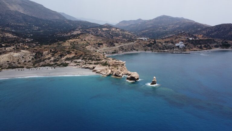
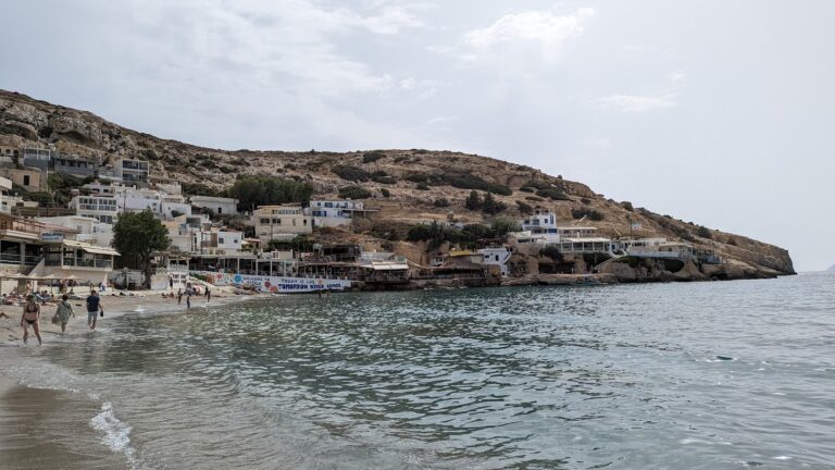
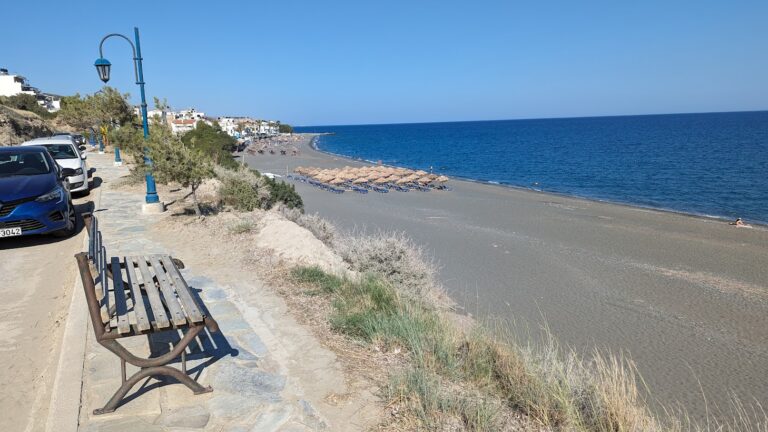
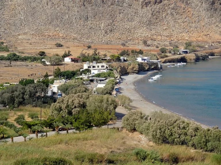
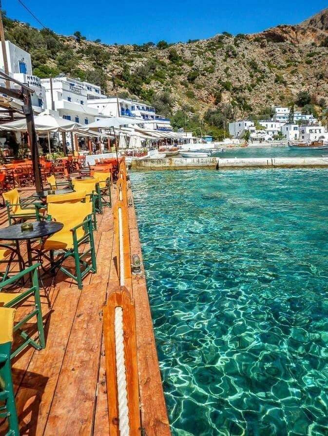
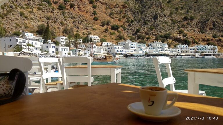
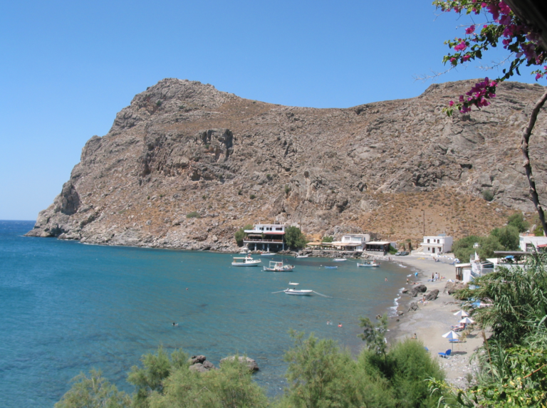
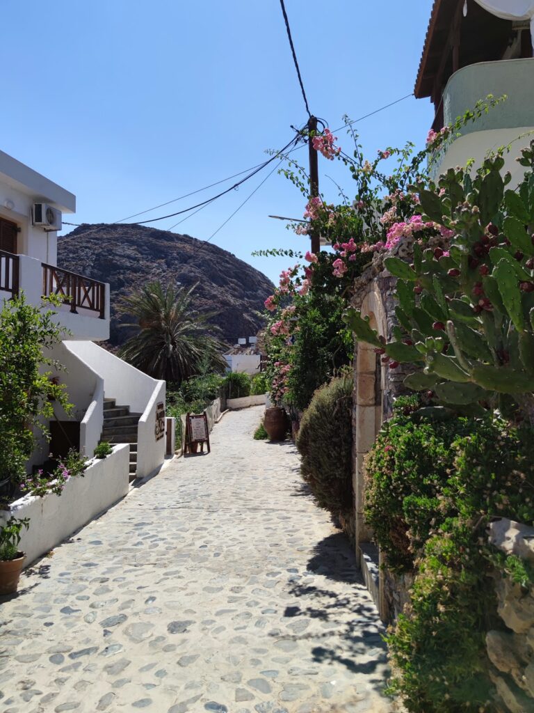
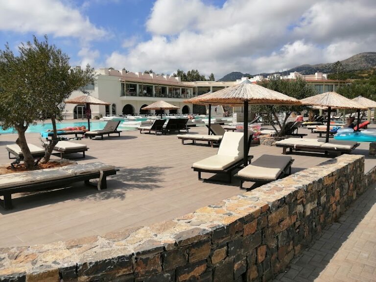
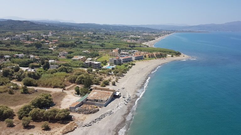
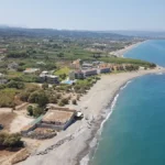
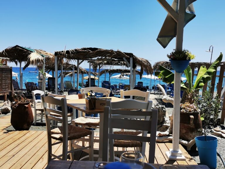
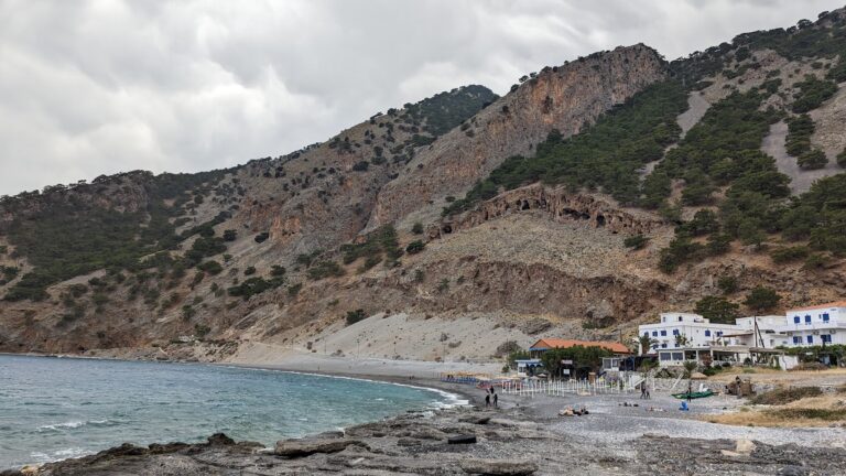
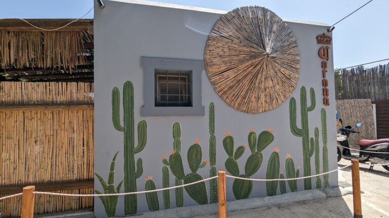
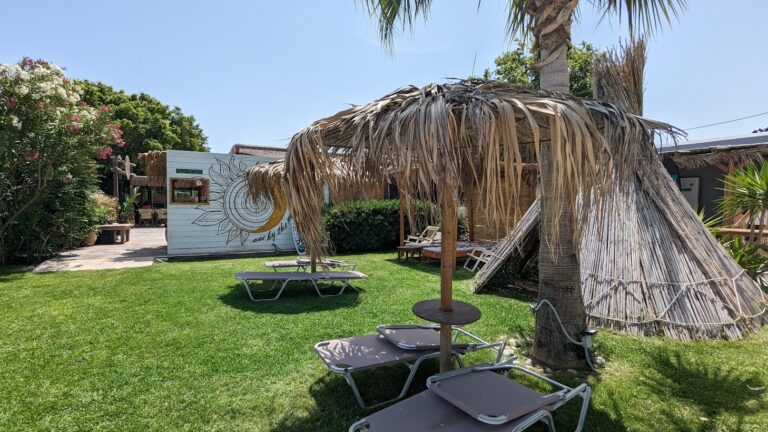
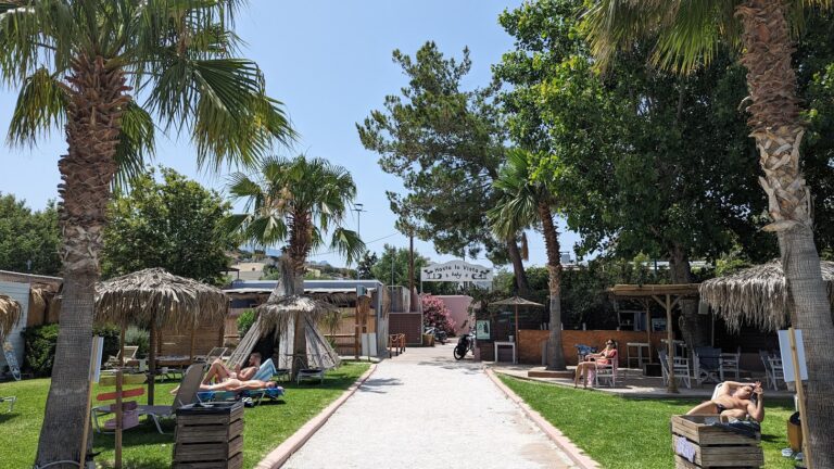
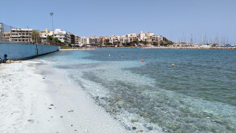
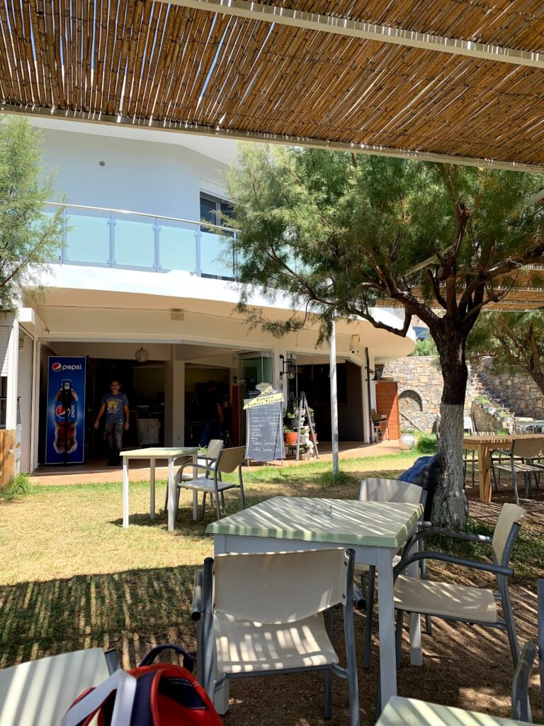
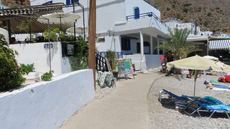
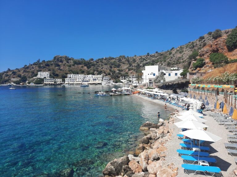
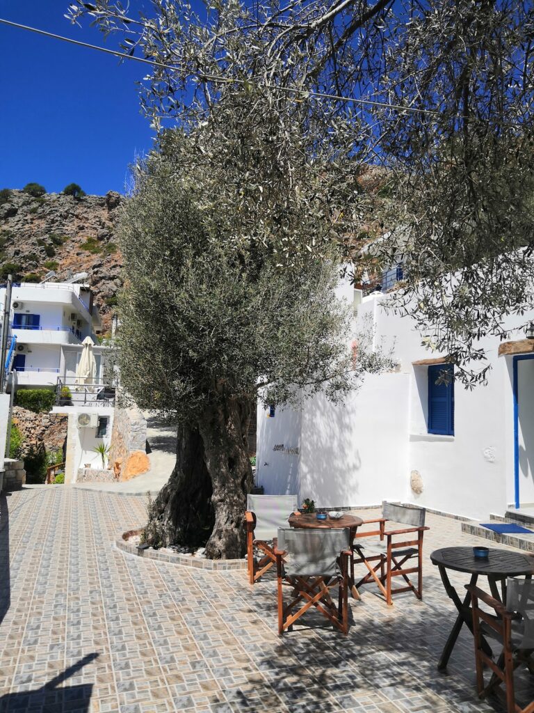
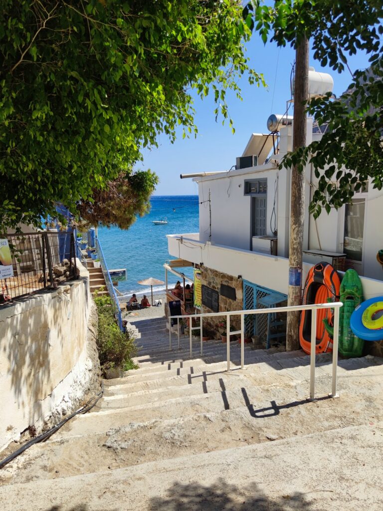
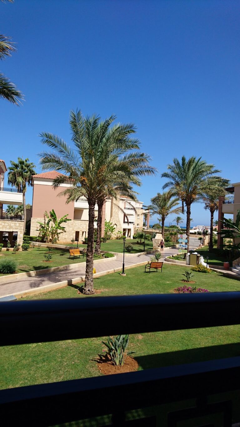
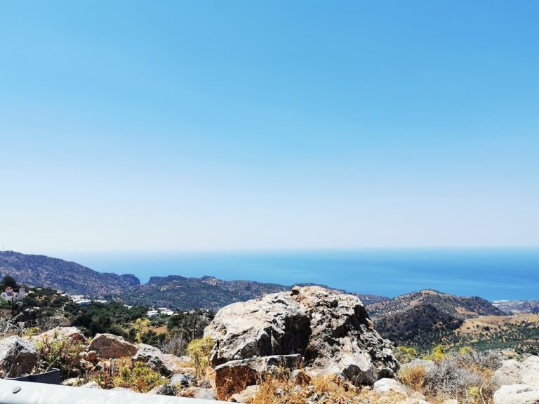
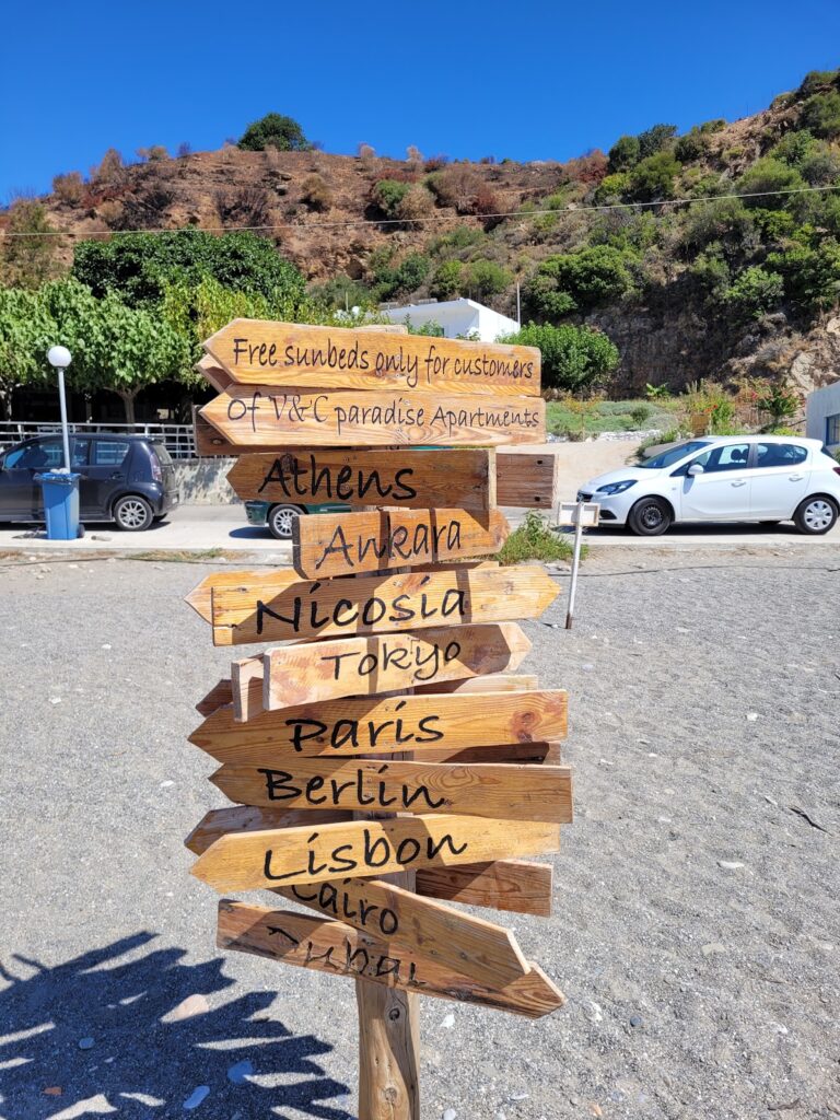
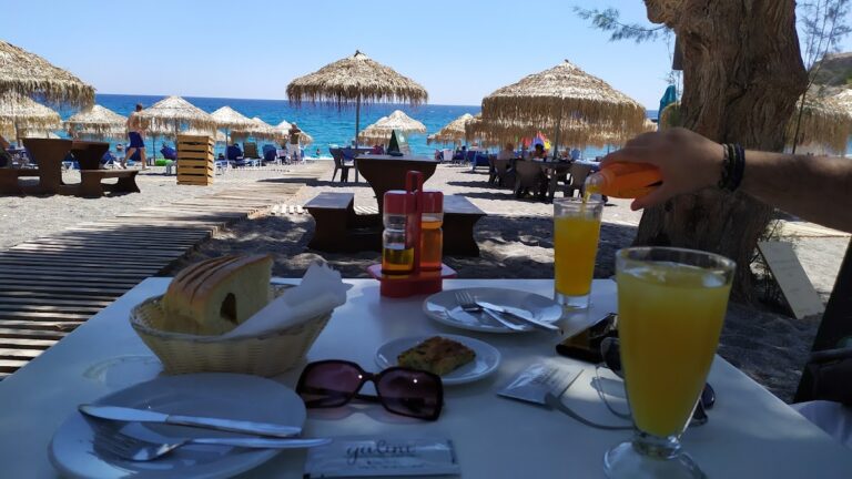
Sougia is a charming village situated at the entrance of the beautiful Agia Irini Gorge, 75km west of Chania city. Once a 70’s hippie haven, it now serves as a peaceful getaway offering relaxing vacations amidst scenic landscapes, equipped with necessary amenities. The village features a variety of restaurants, taverns, accommodation choices, cafes, bars, and mini markets, though larger facilities like gas stations, hospitals, pharmacies or banks are not available in this secluded paradise.

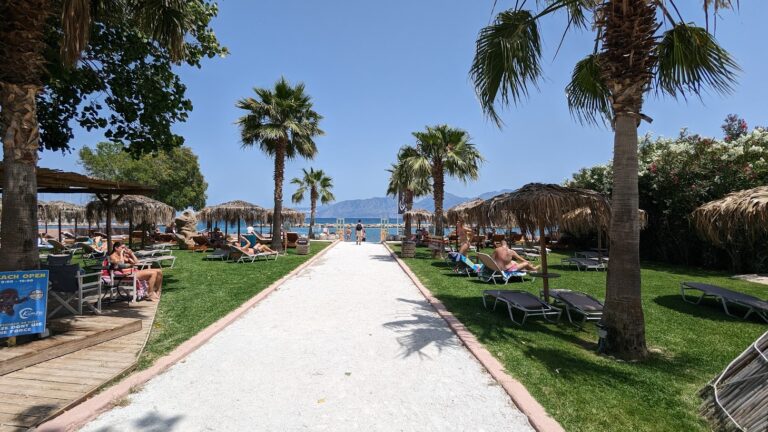
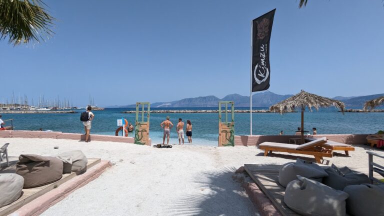
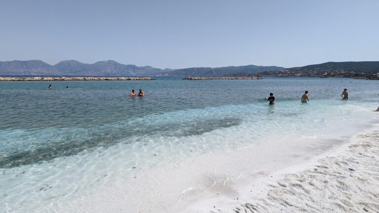
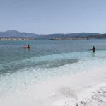
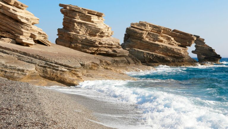
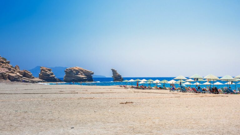
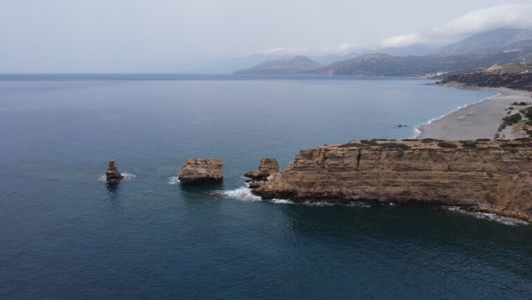
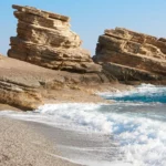
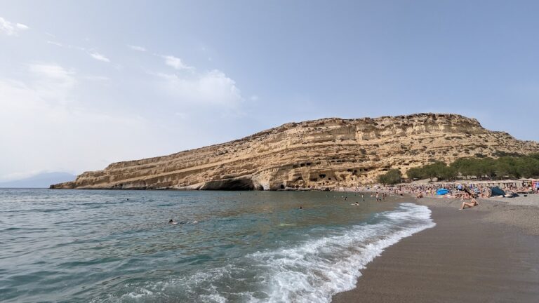
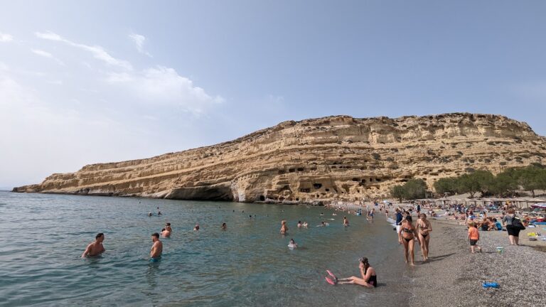
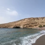
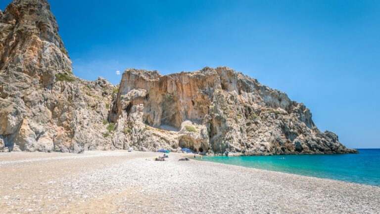
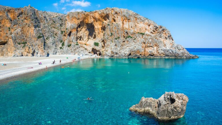
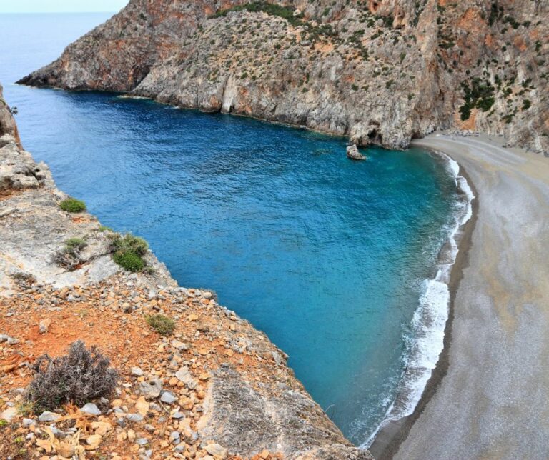
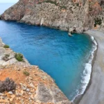
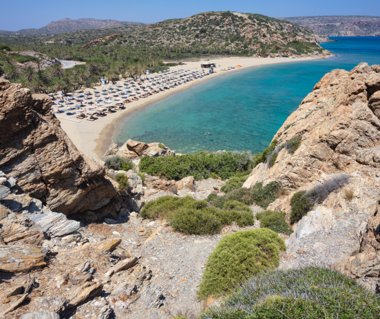
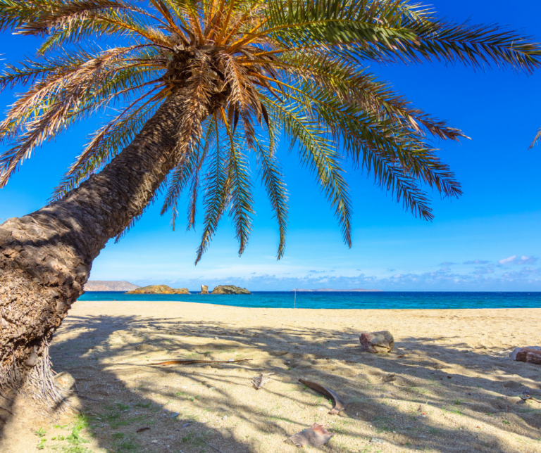
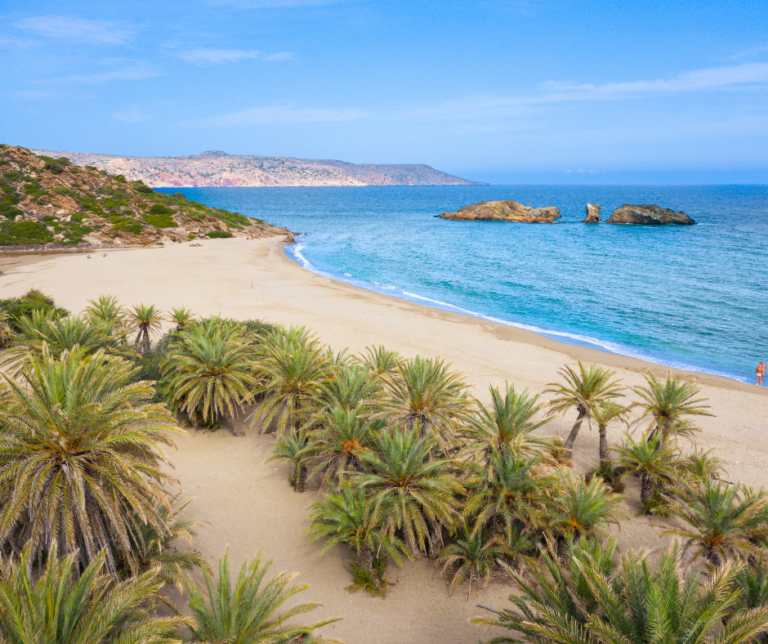
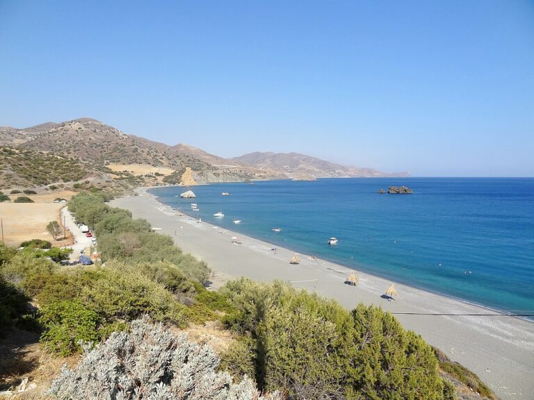
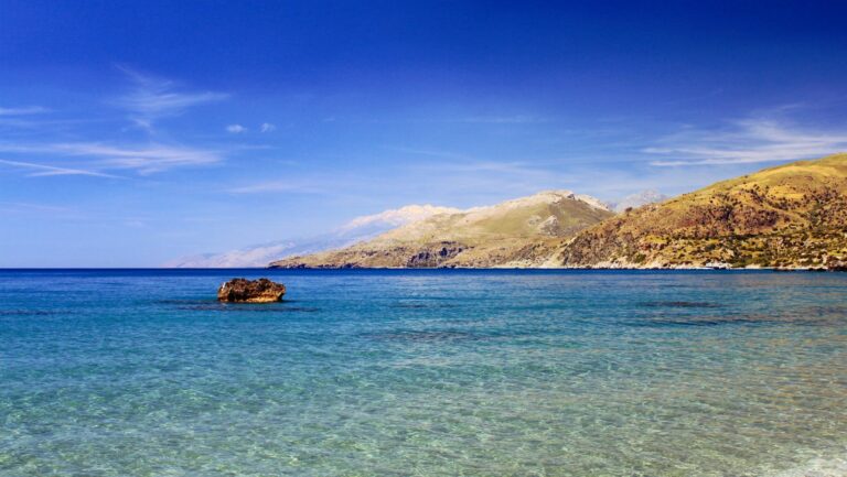
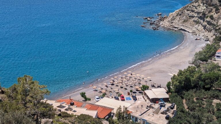
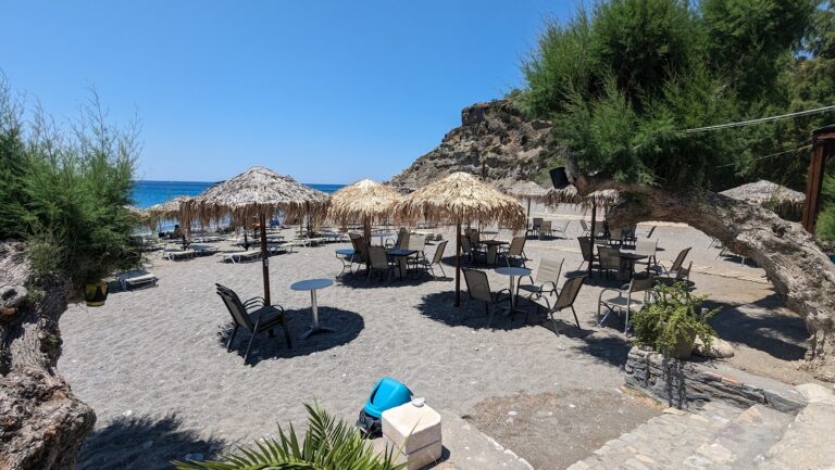
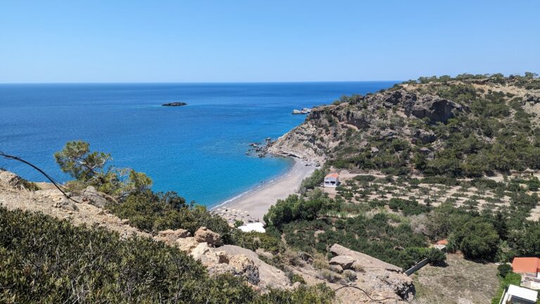
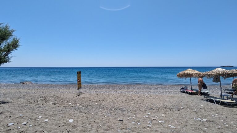
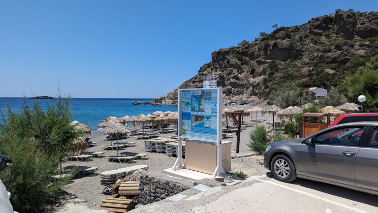
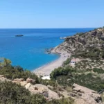
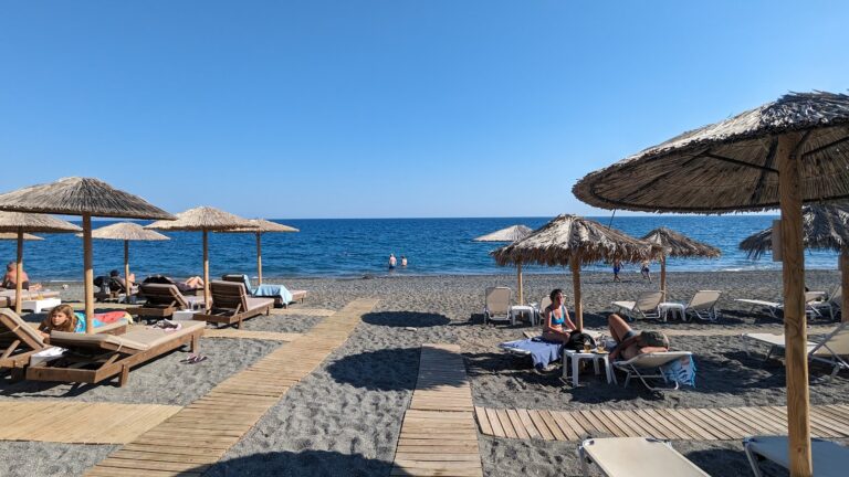
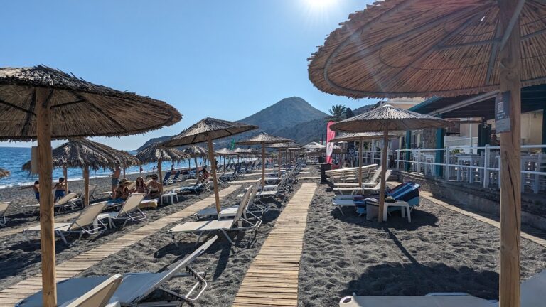
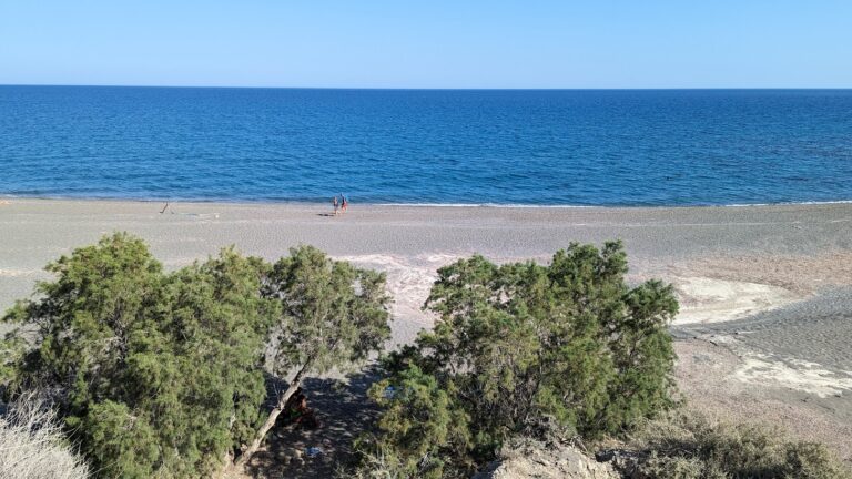
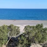
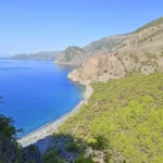
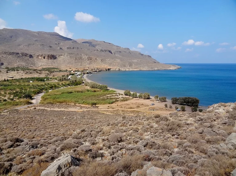
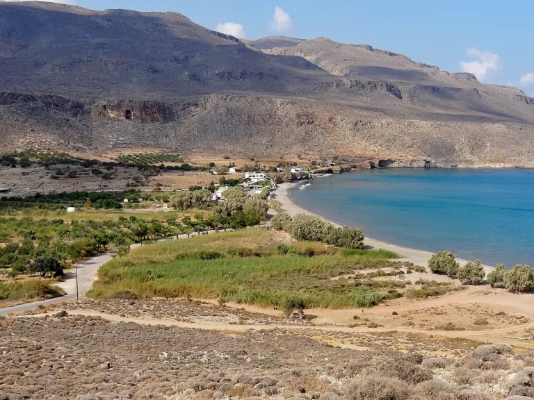
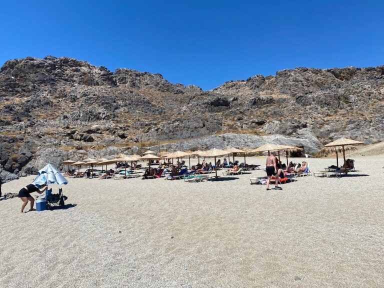
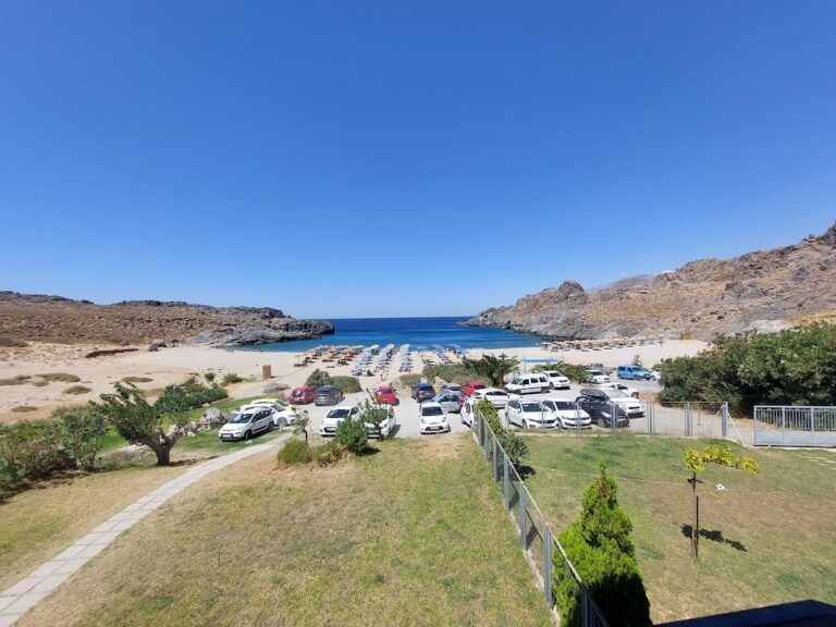
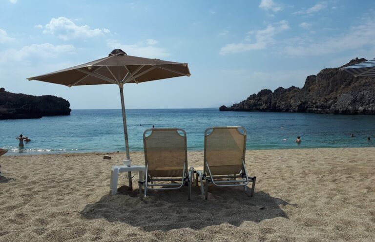
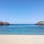
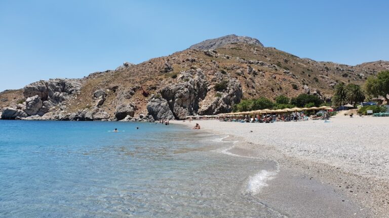
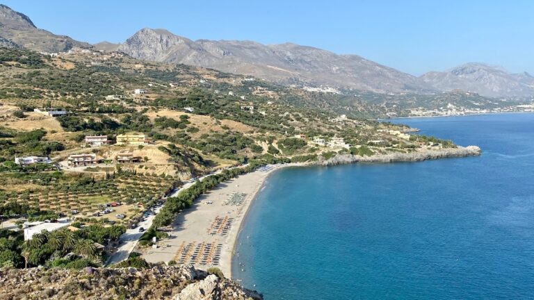
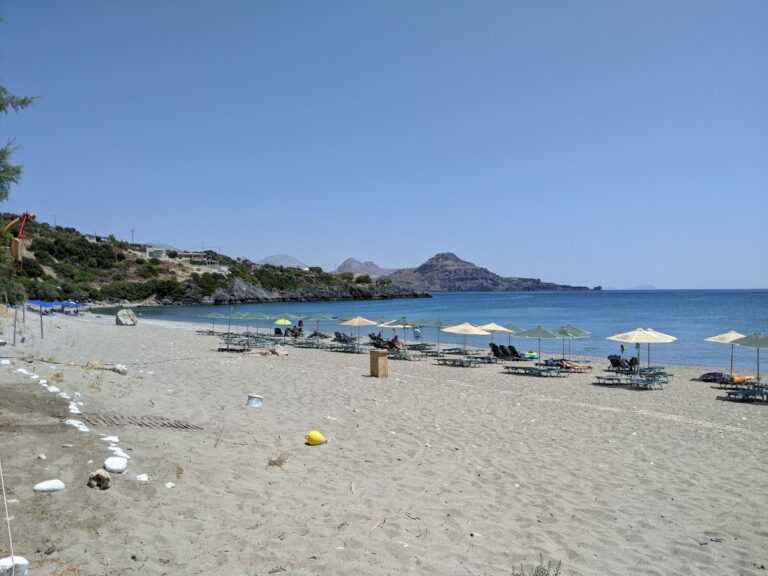
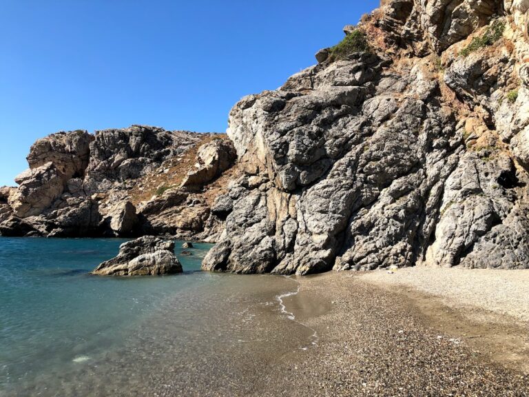
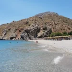
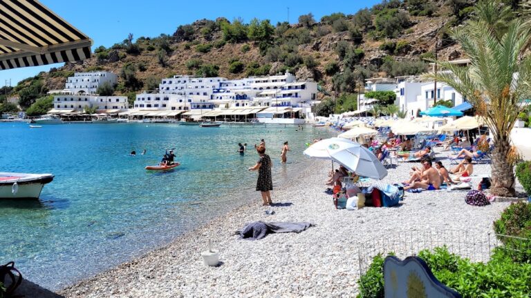
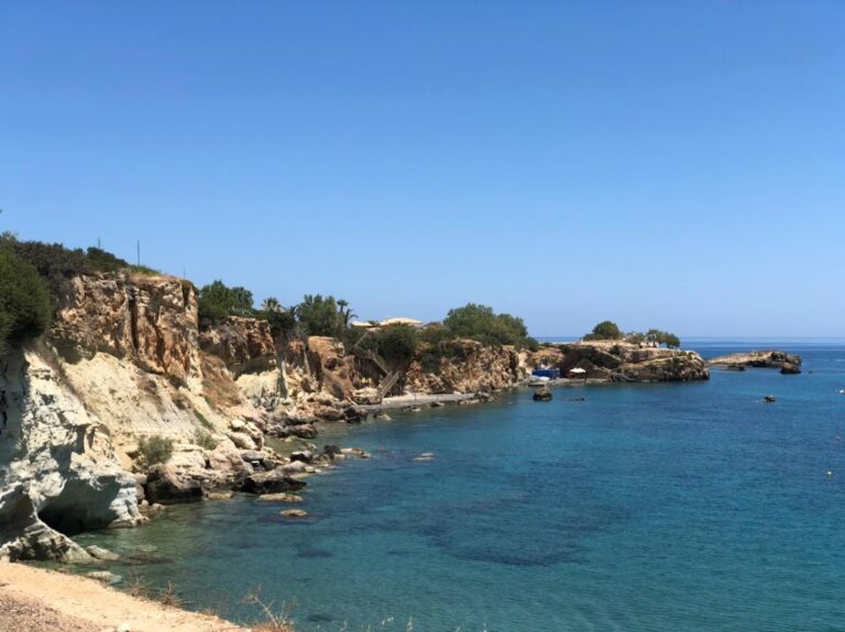
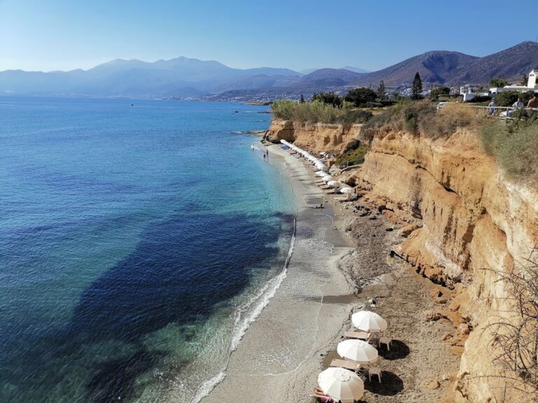
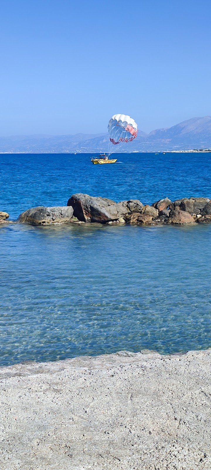
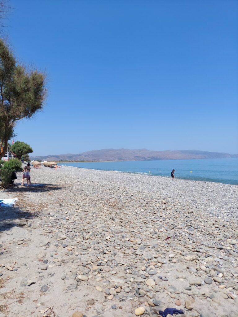
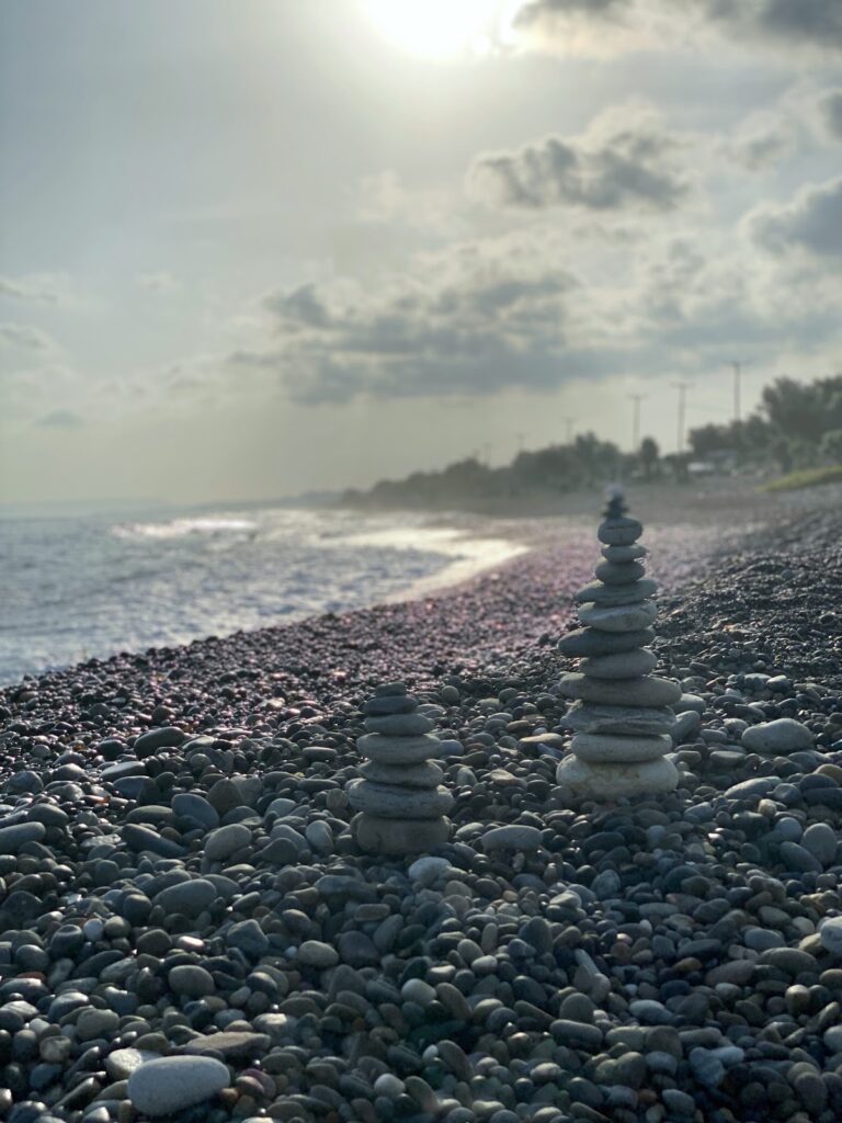
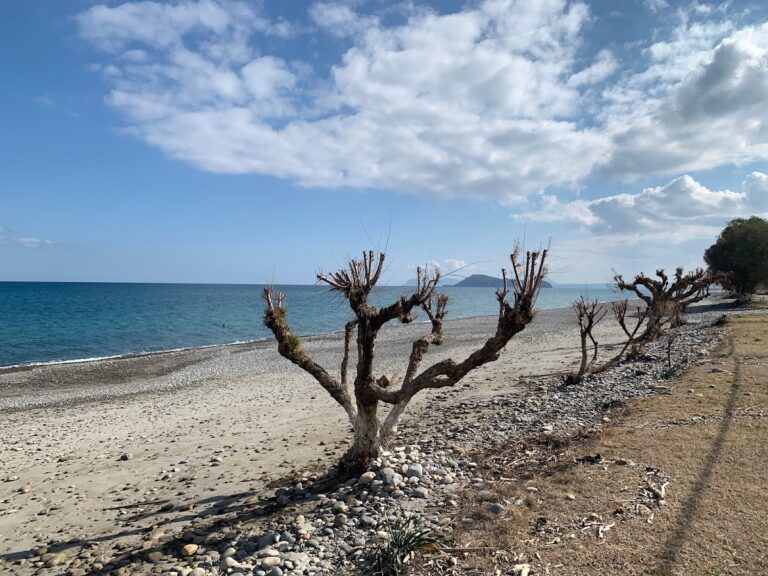
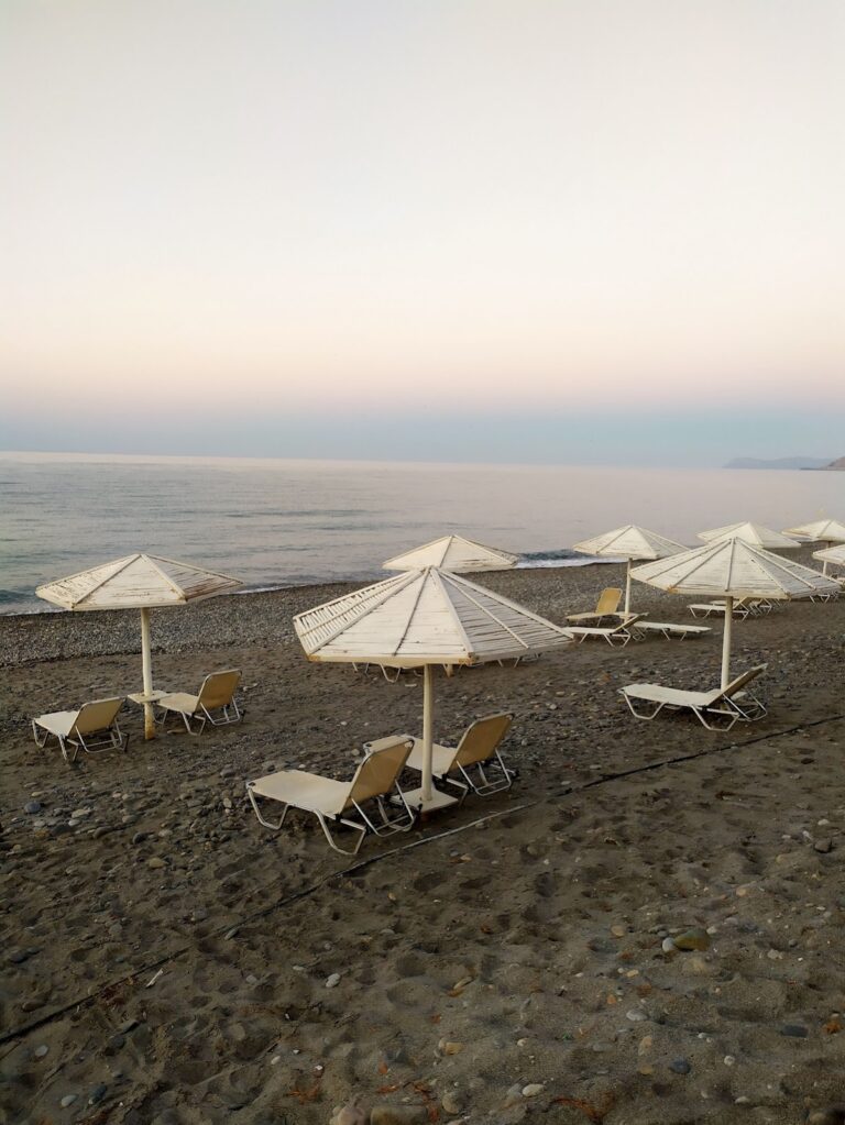
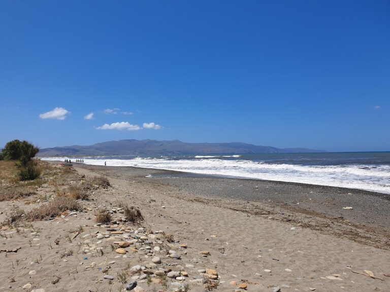
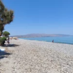
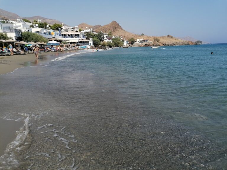
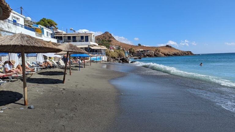
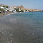
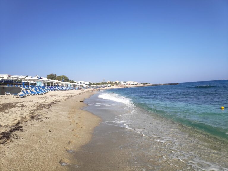
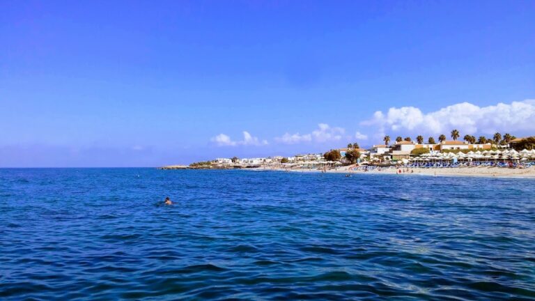
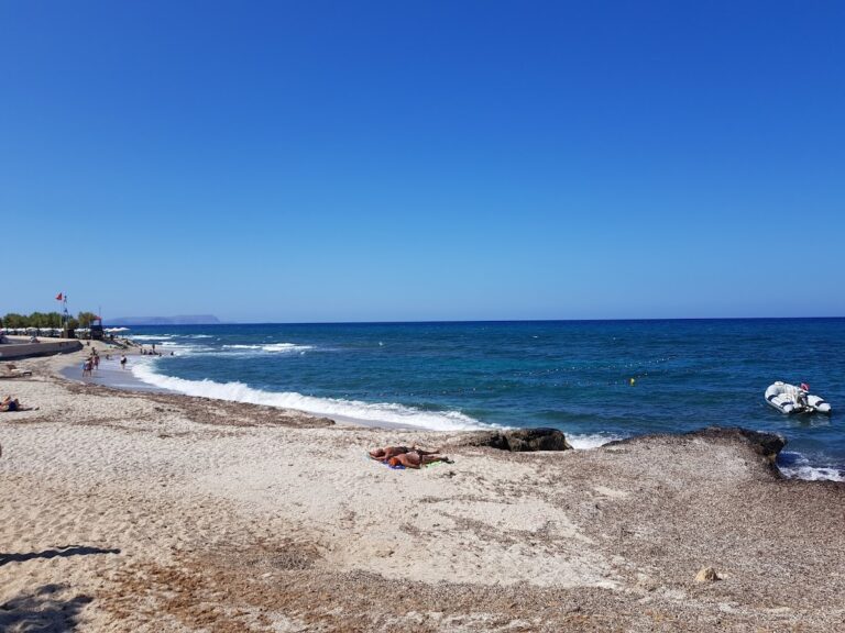
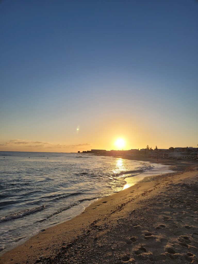
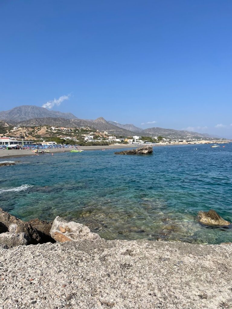
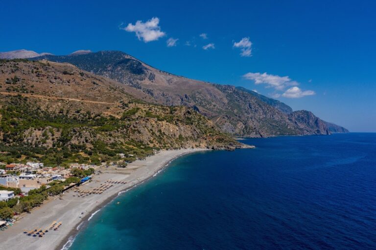
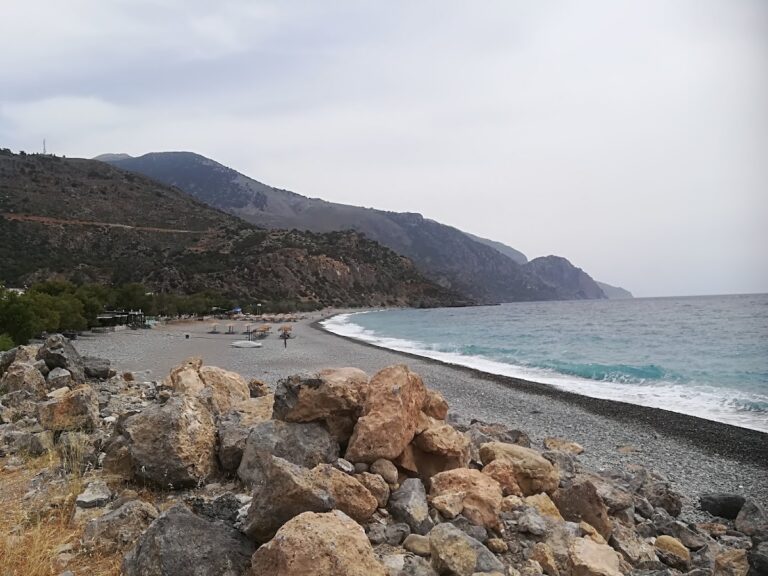
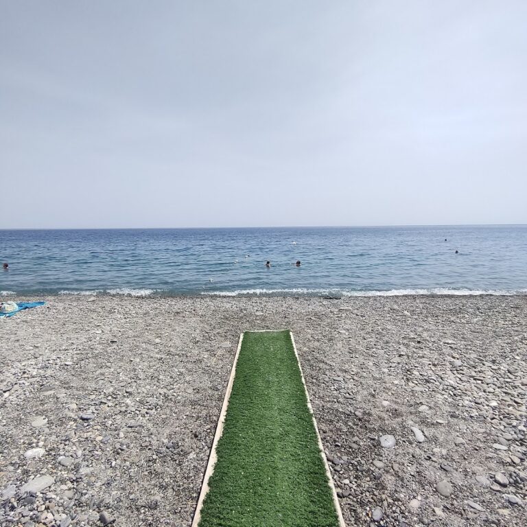
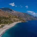
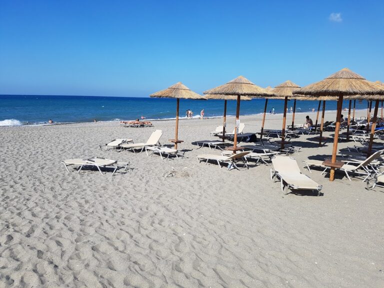
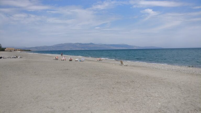
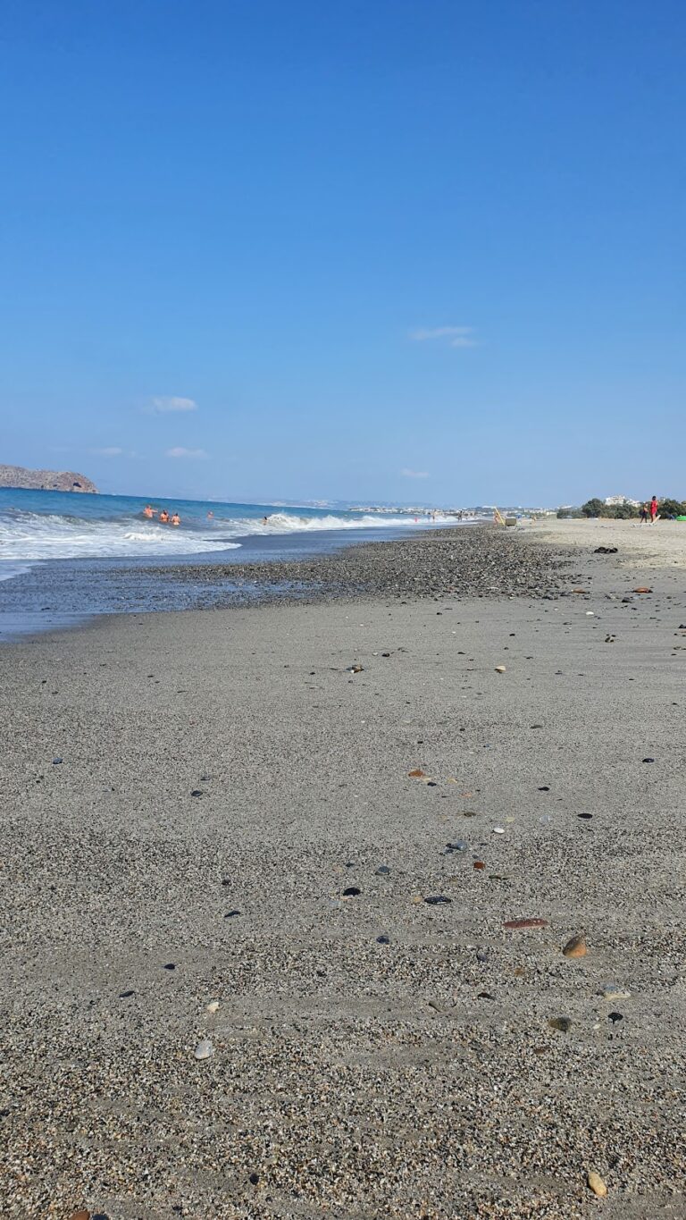
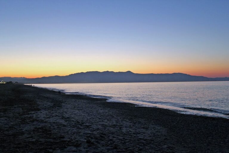
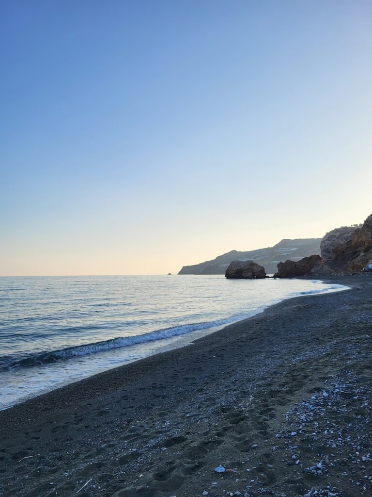
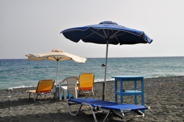
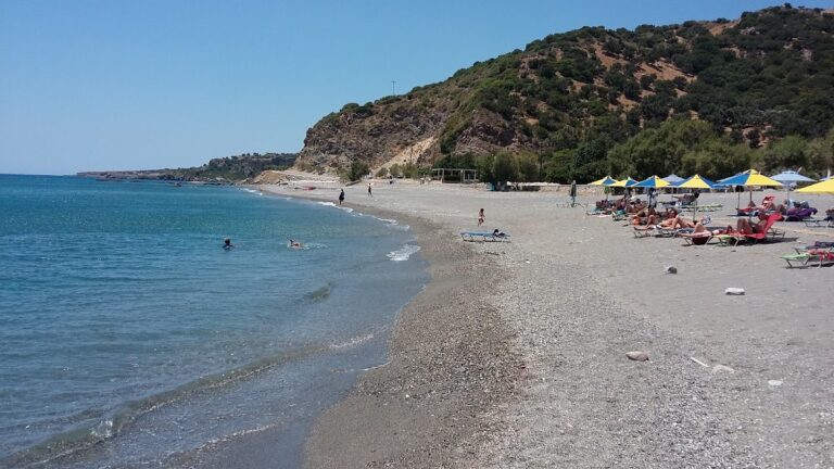
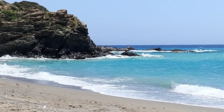
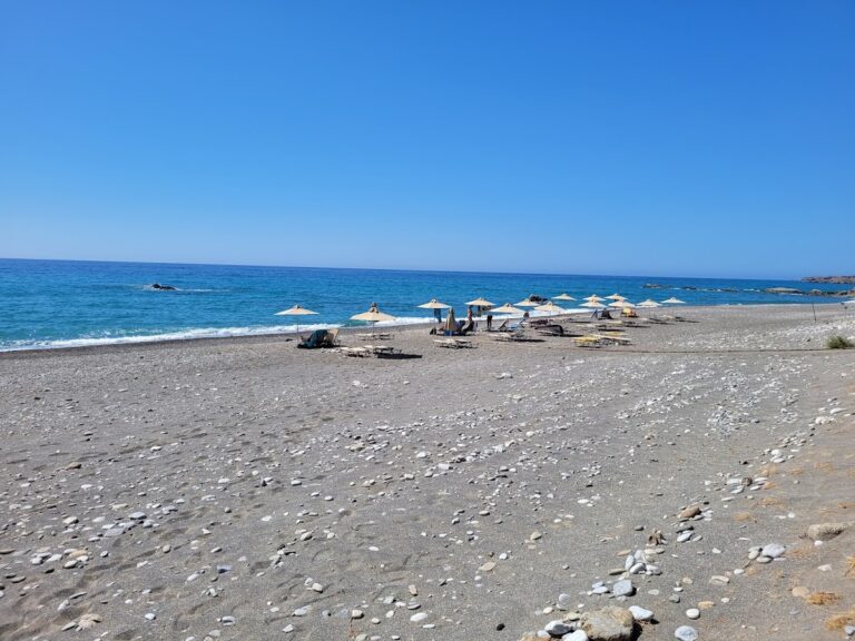
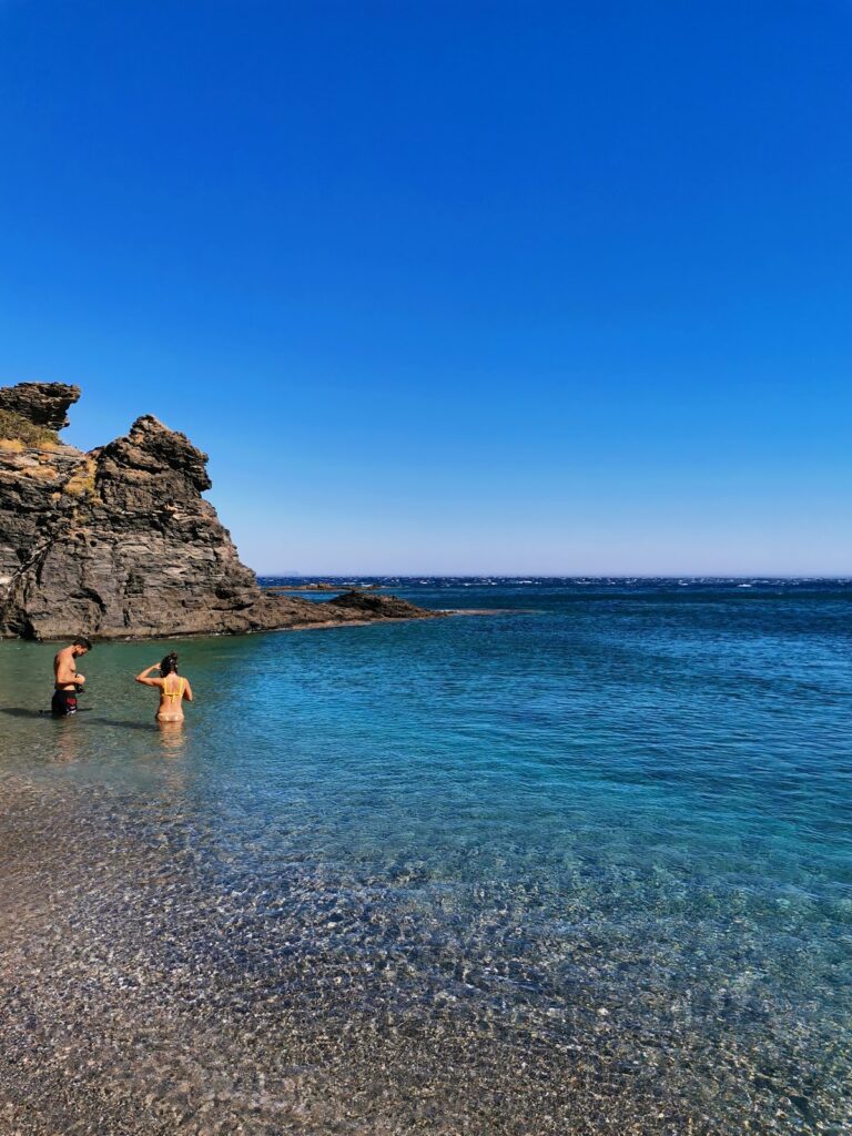
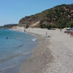
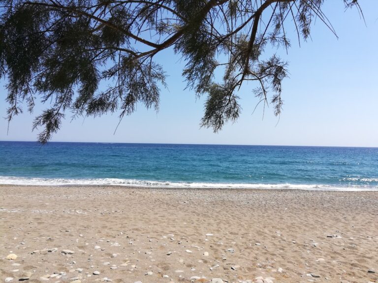
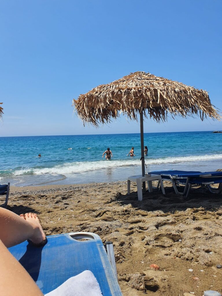
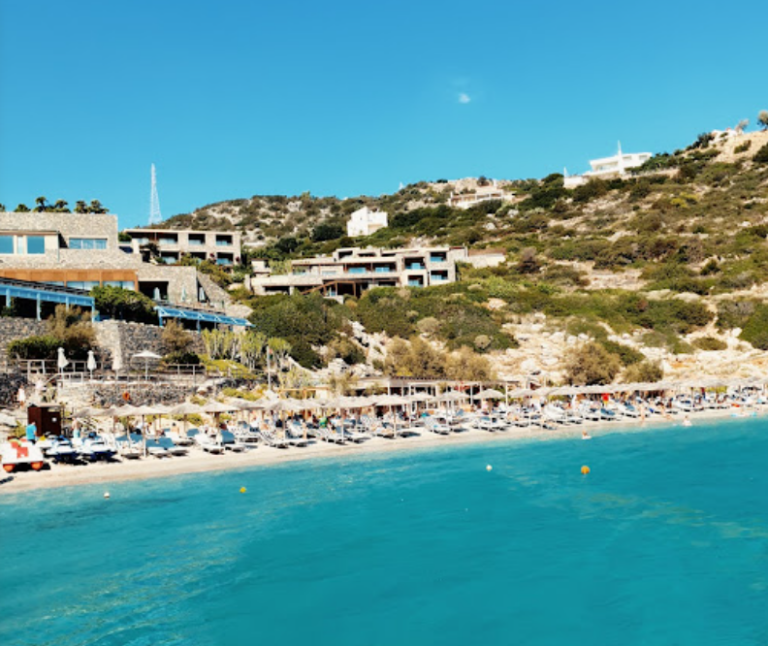
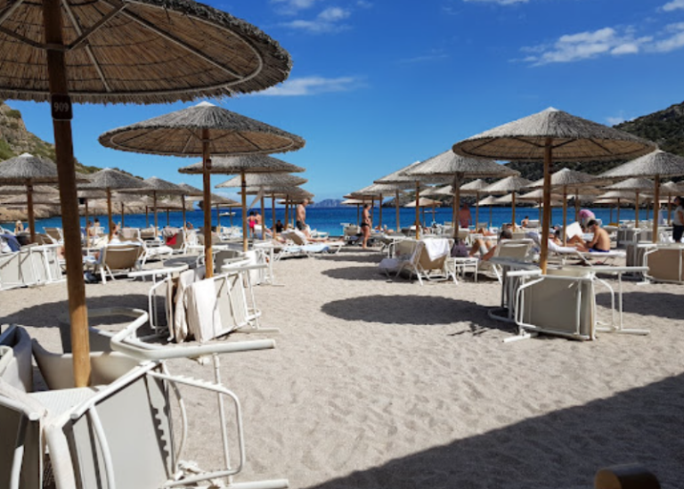
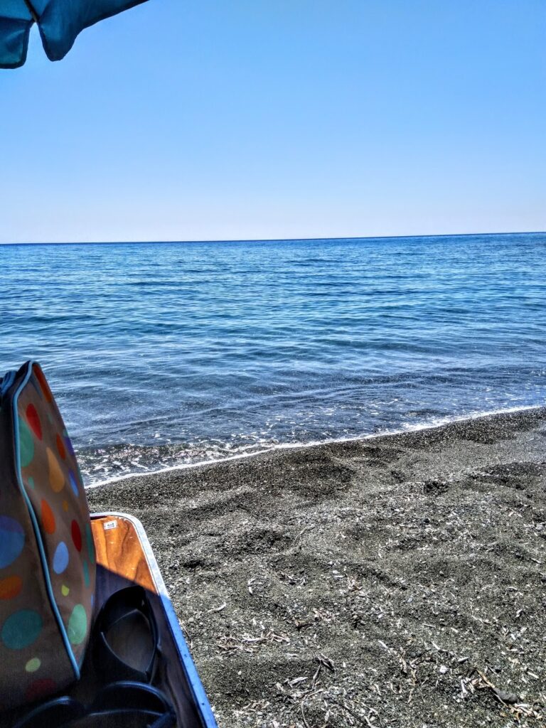
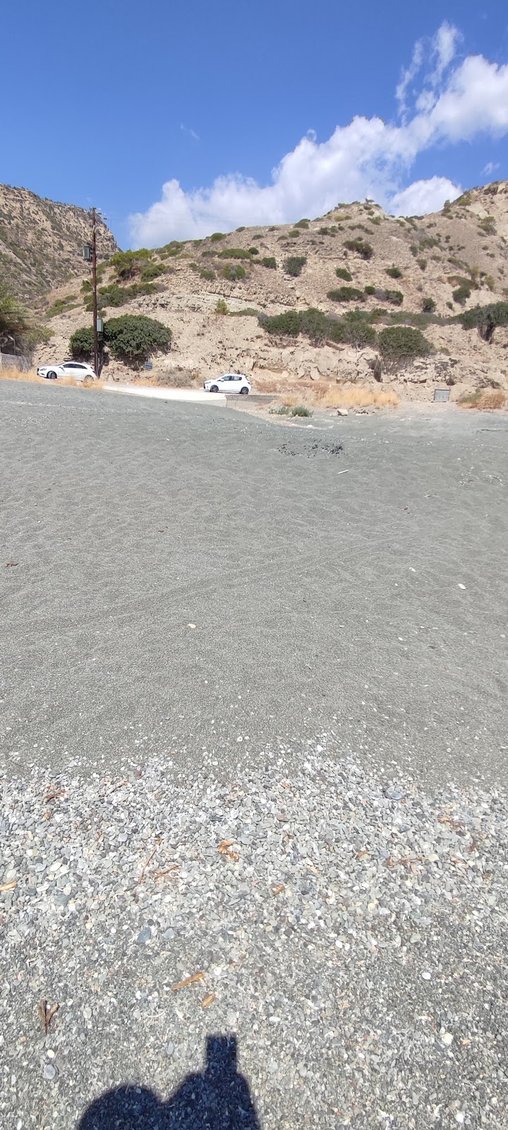
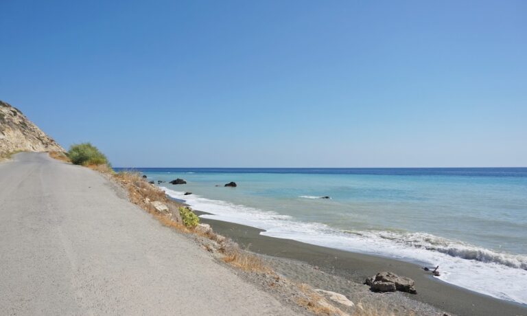
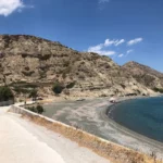
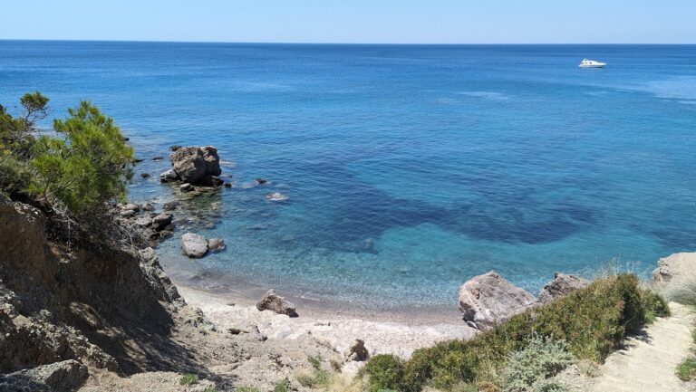
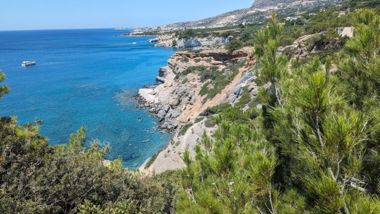
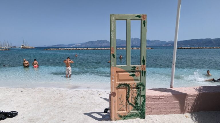
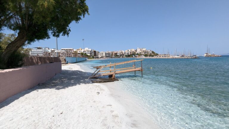
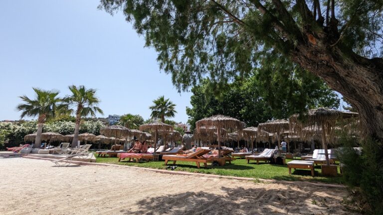
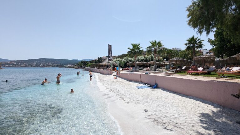
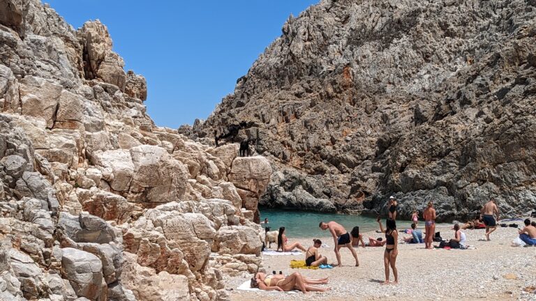
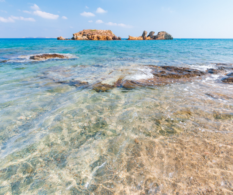
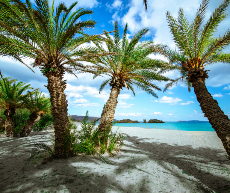
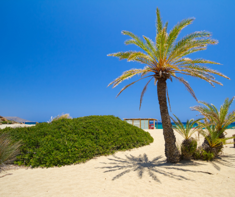
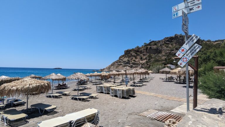
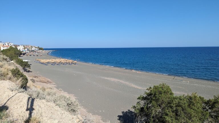
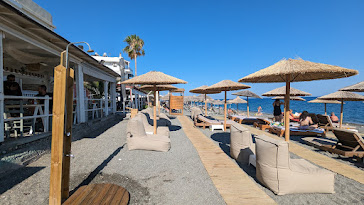
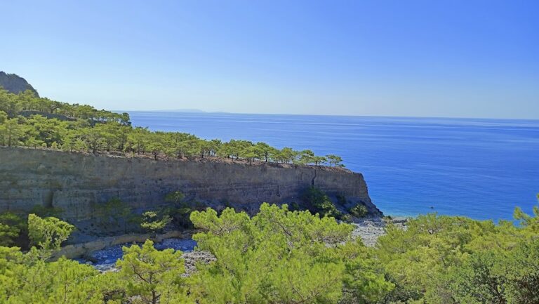
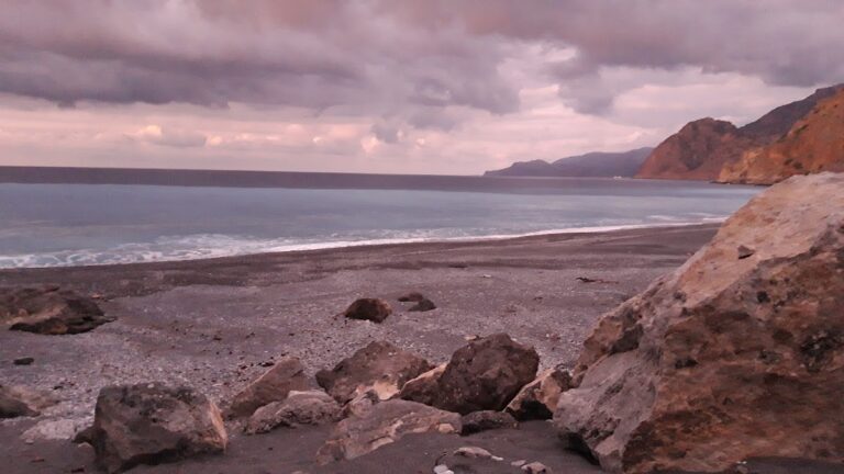
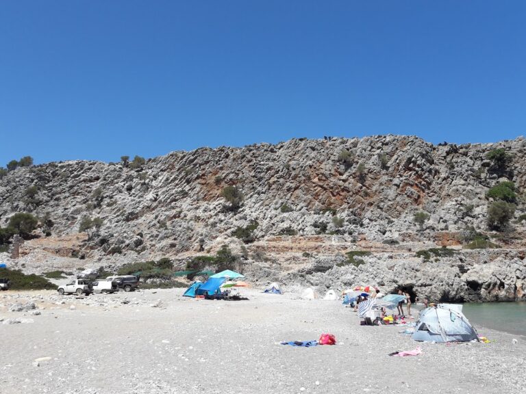
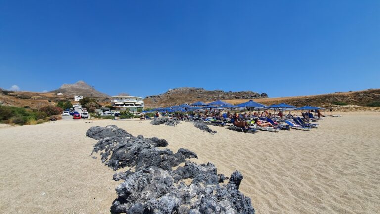
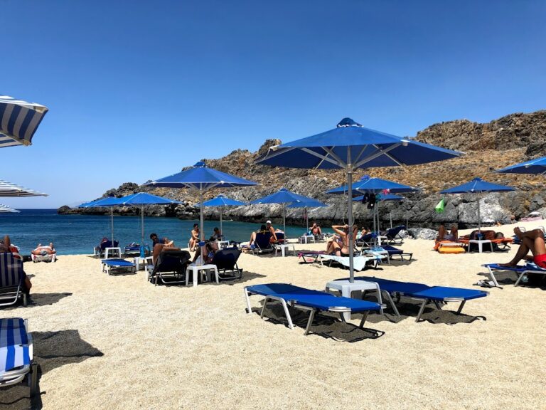
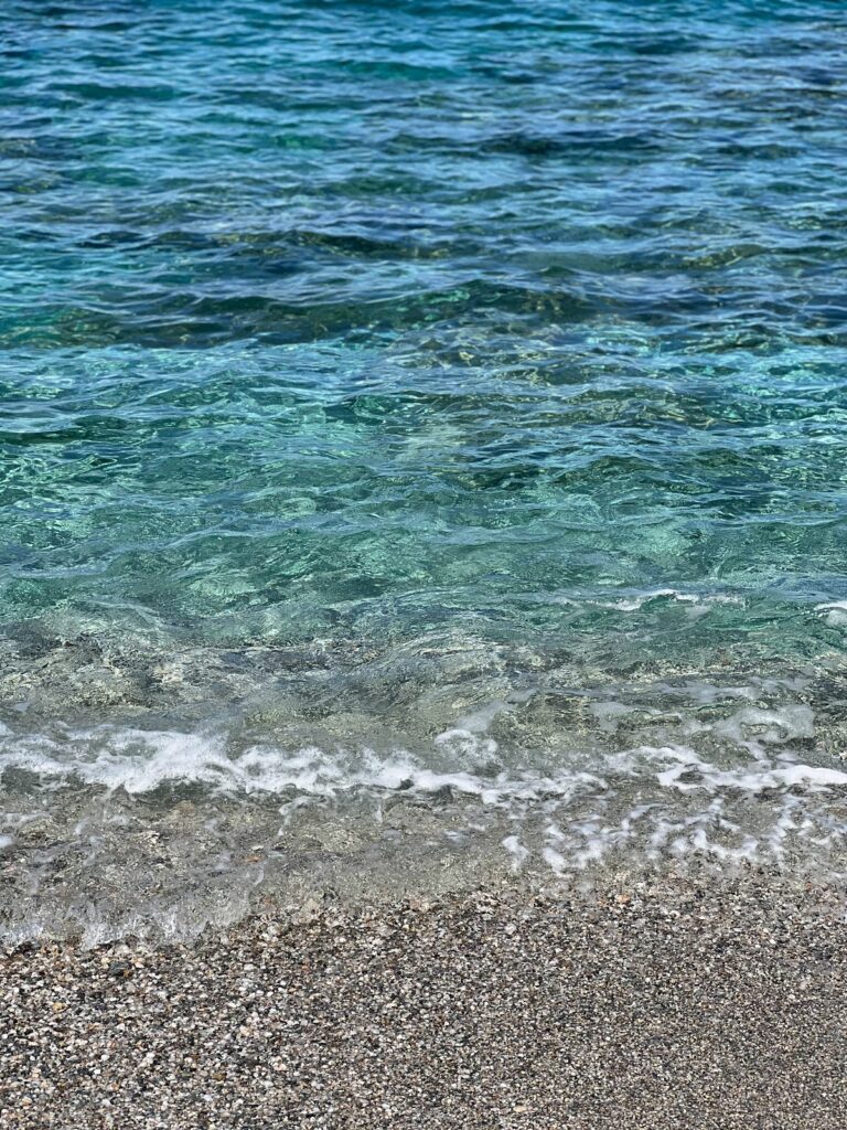
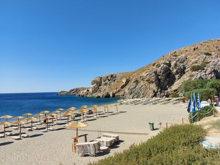
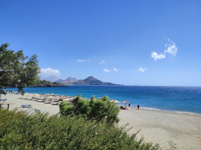
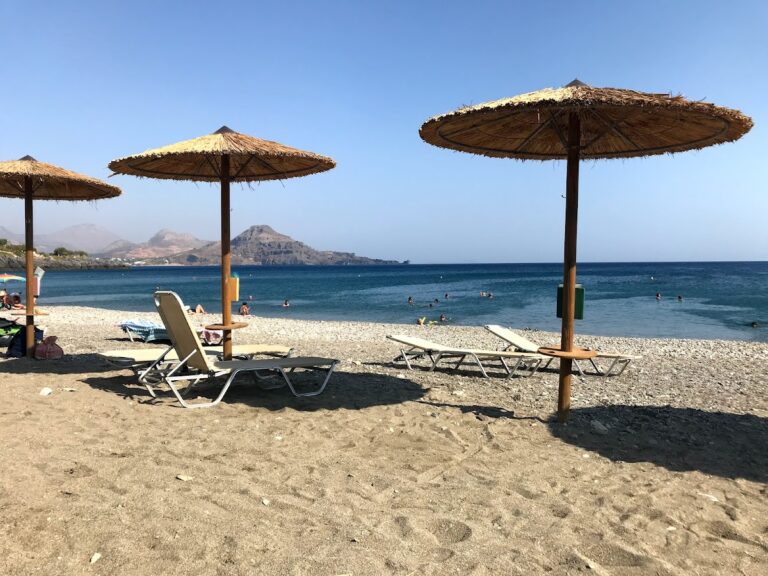
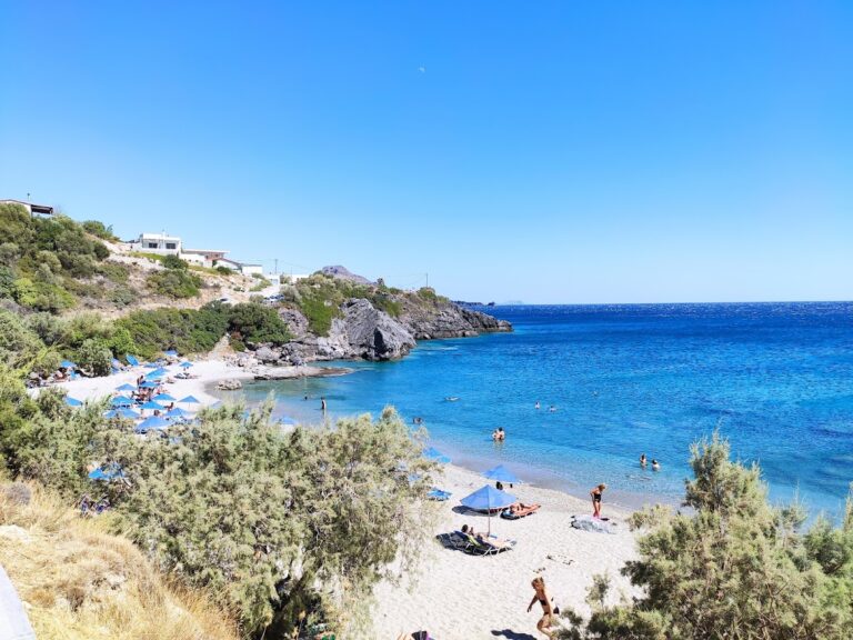
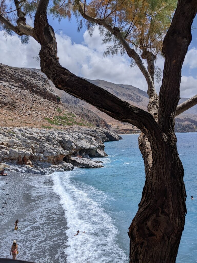
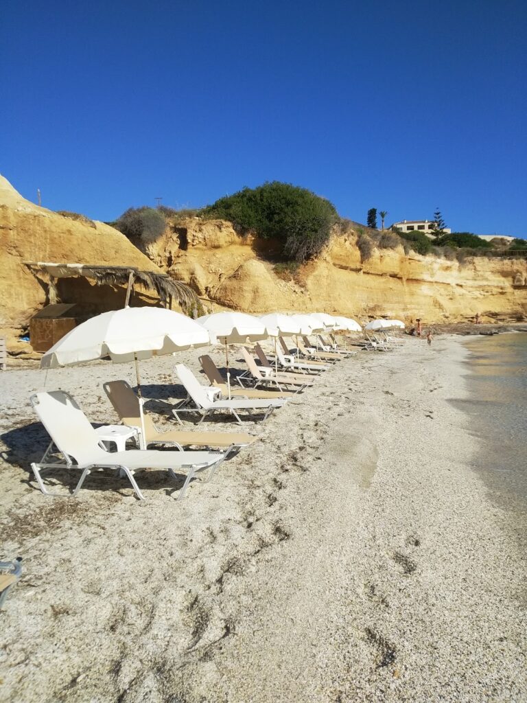
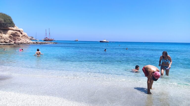
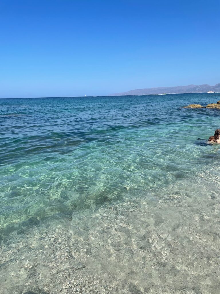
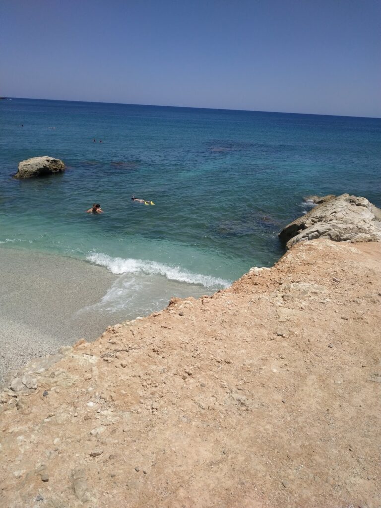
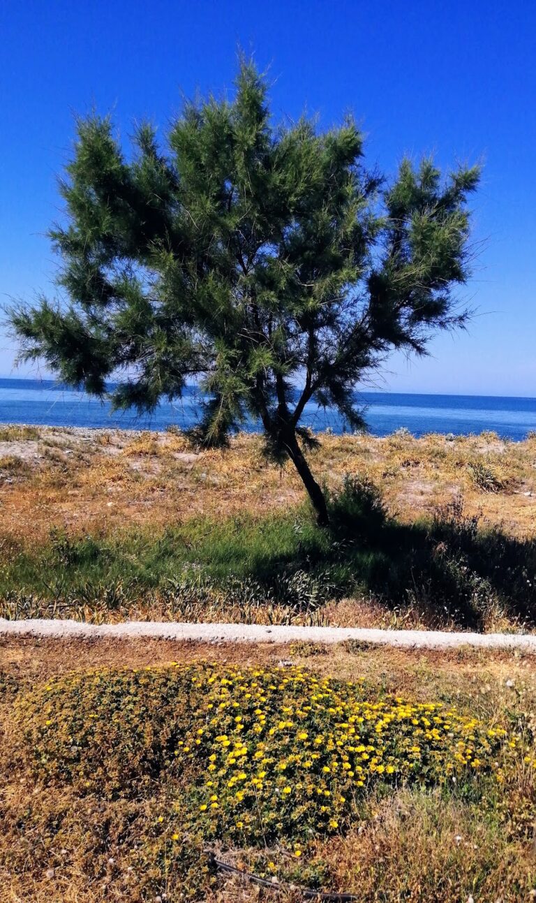
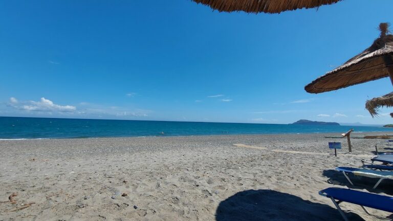
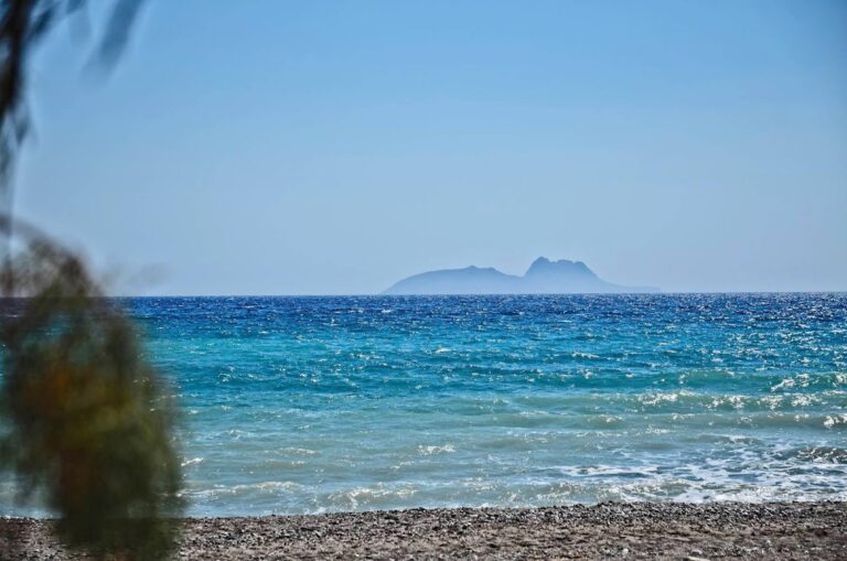
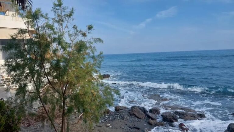
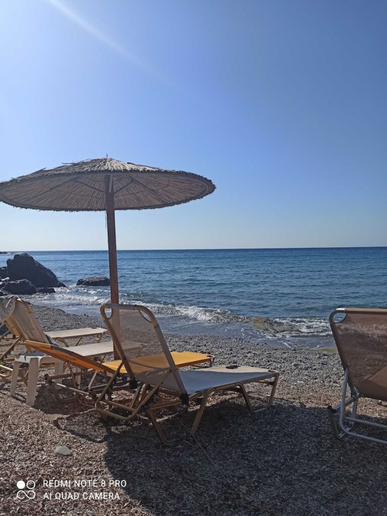
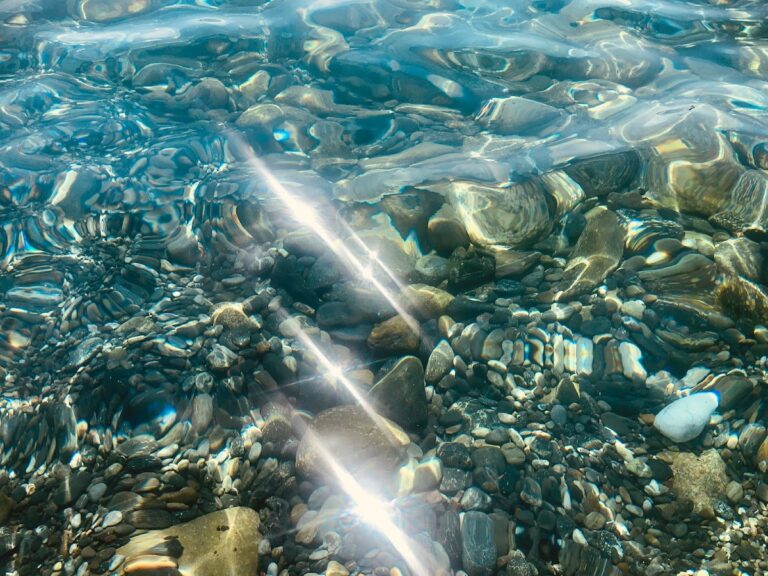
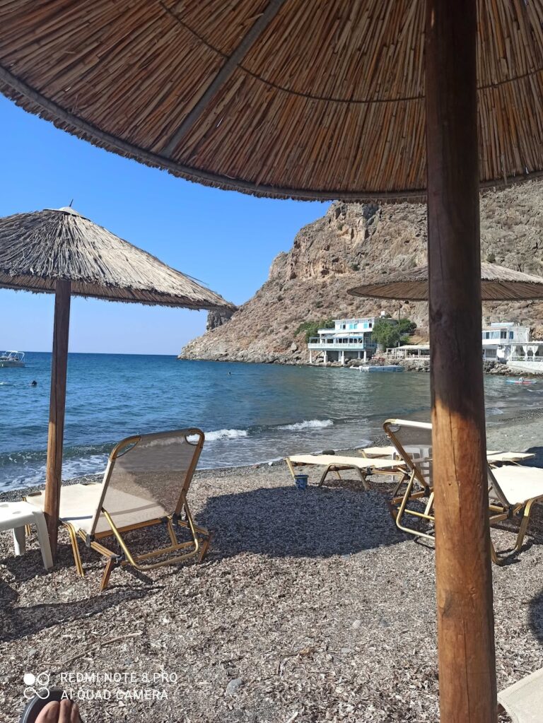
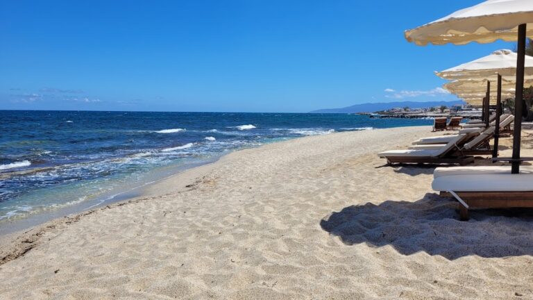
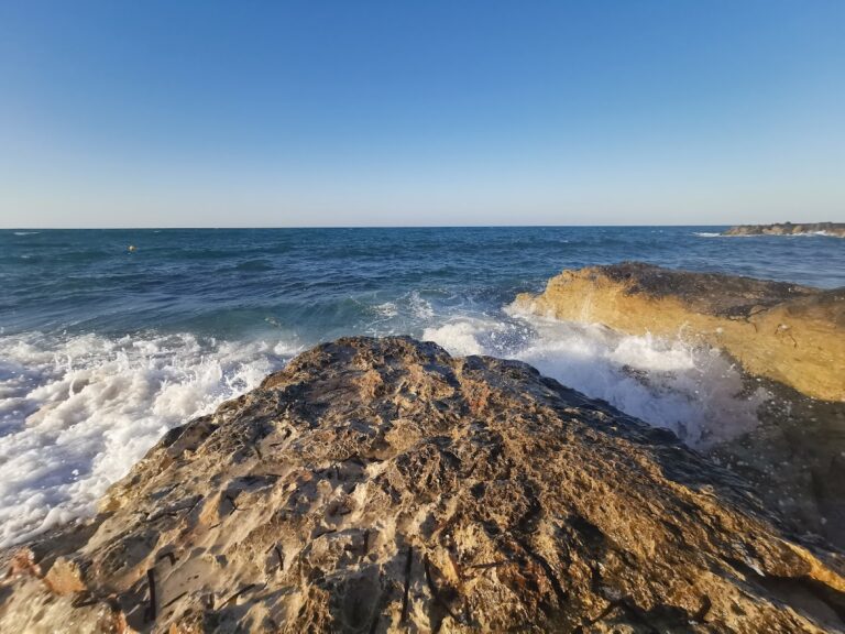
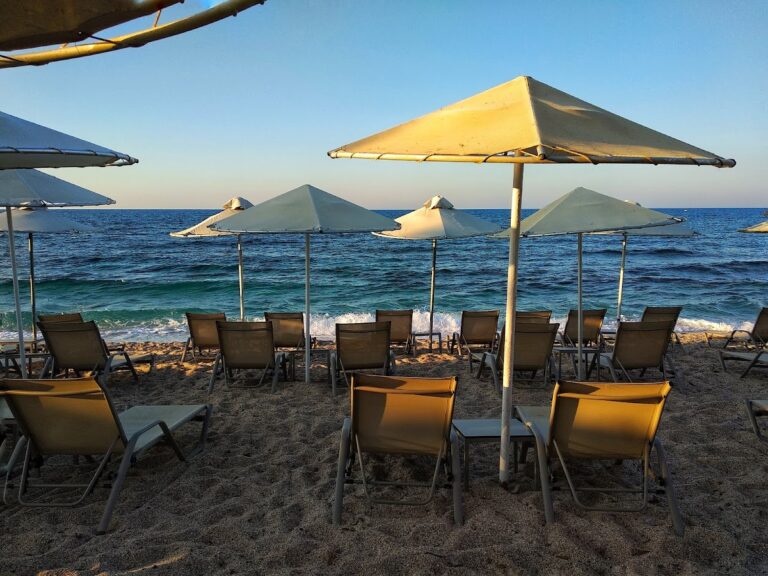
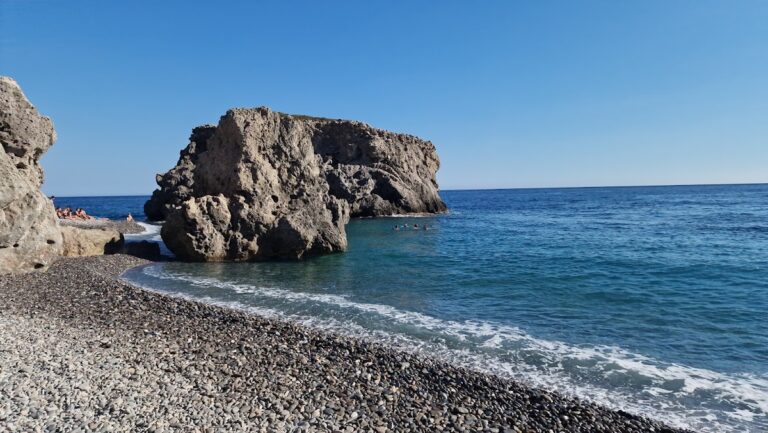
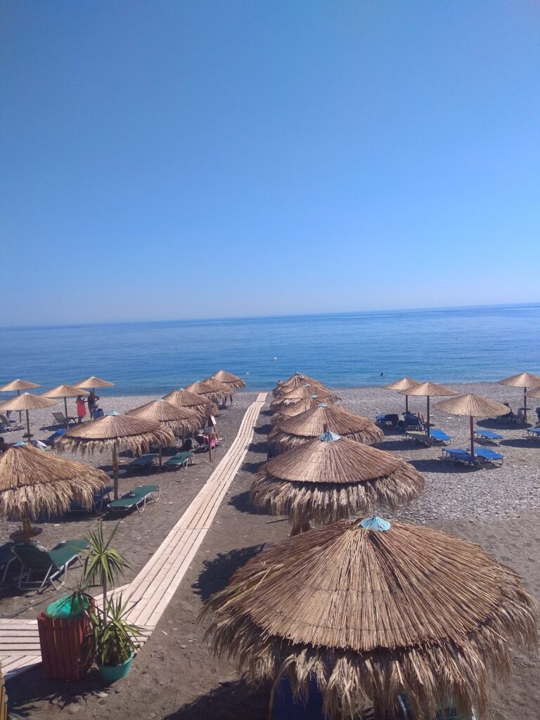
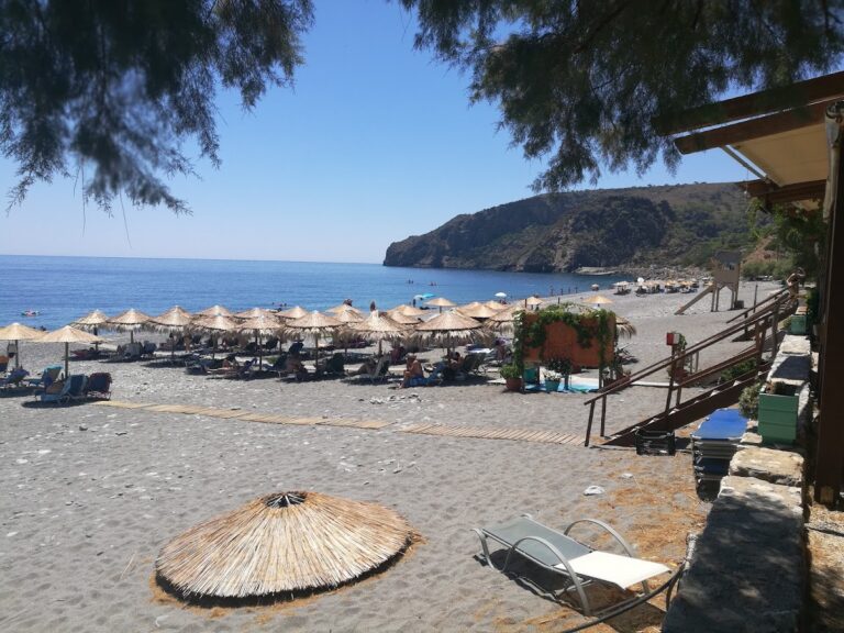
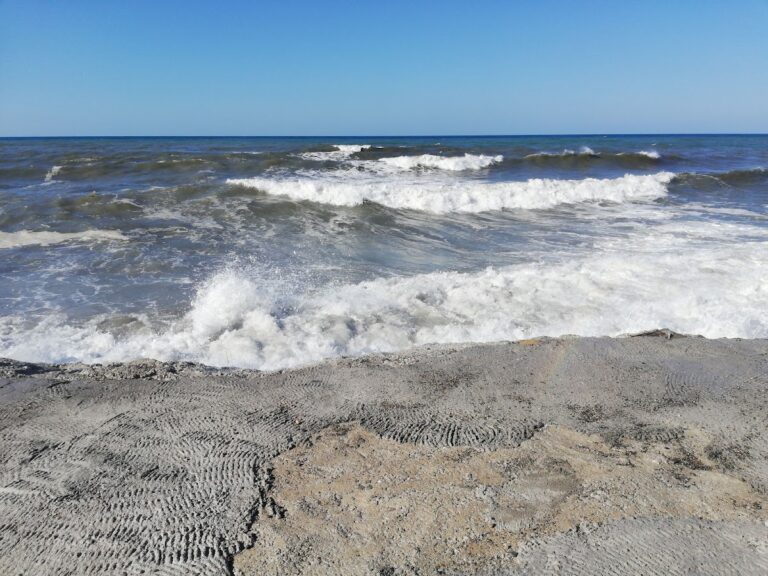
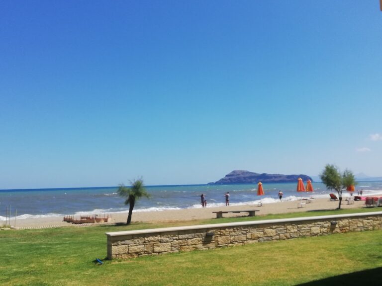
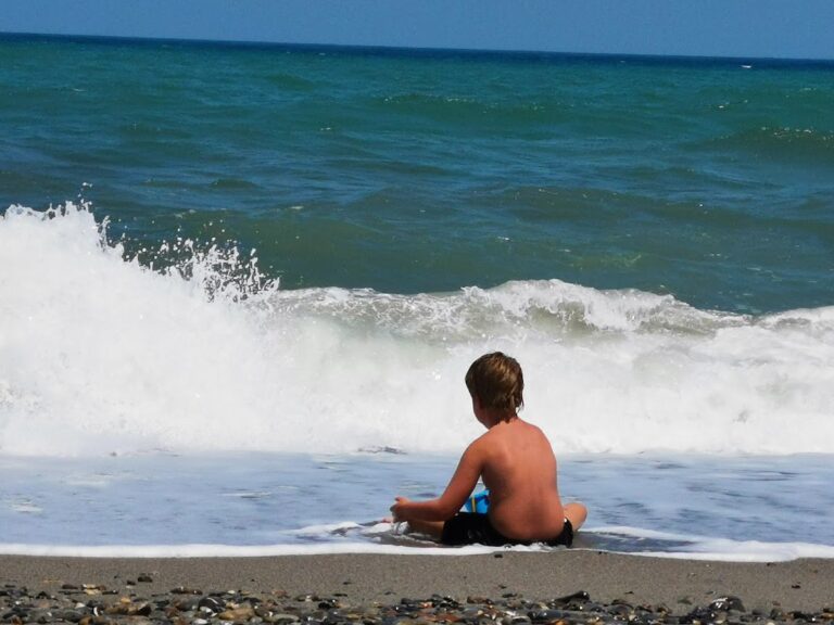
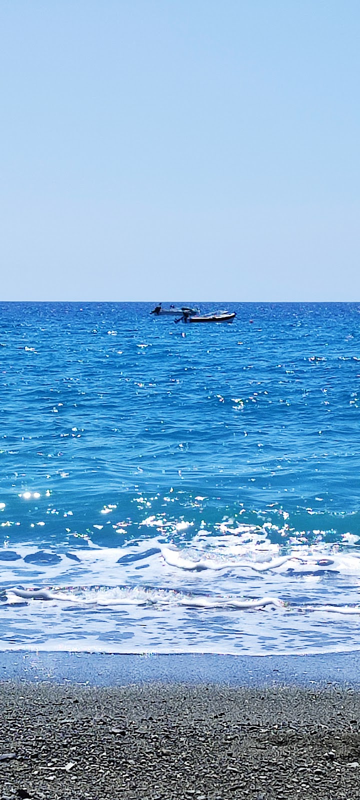
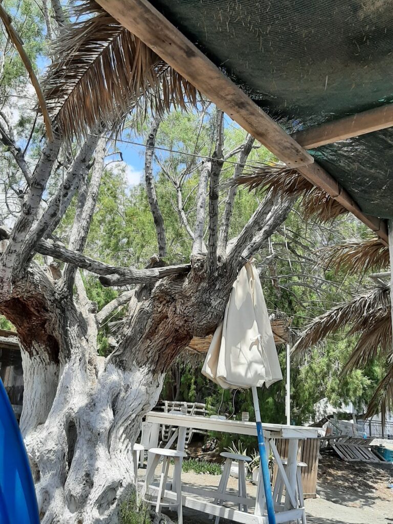
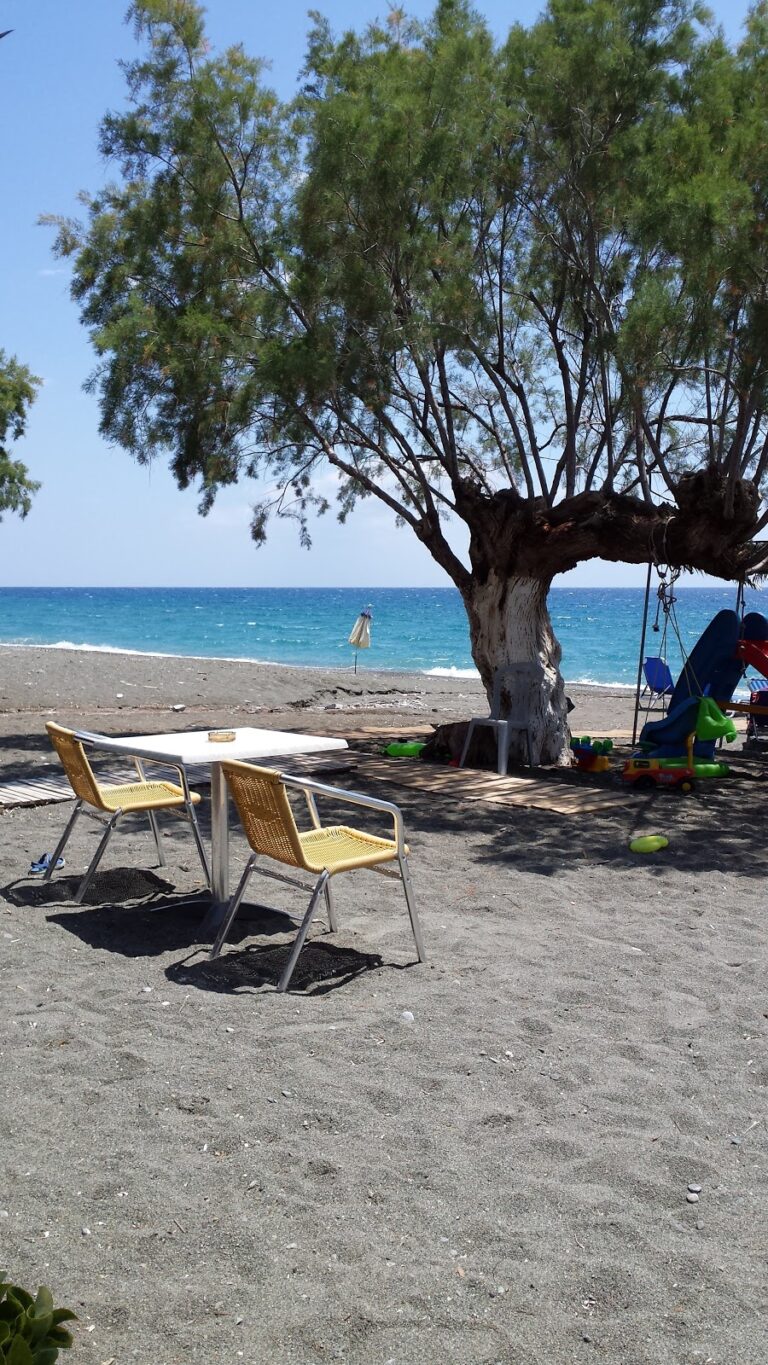
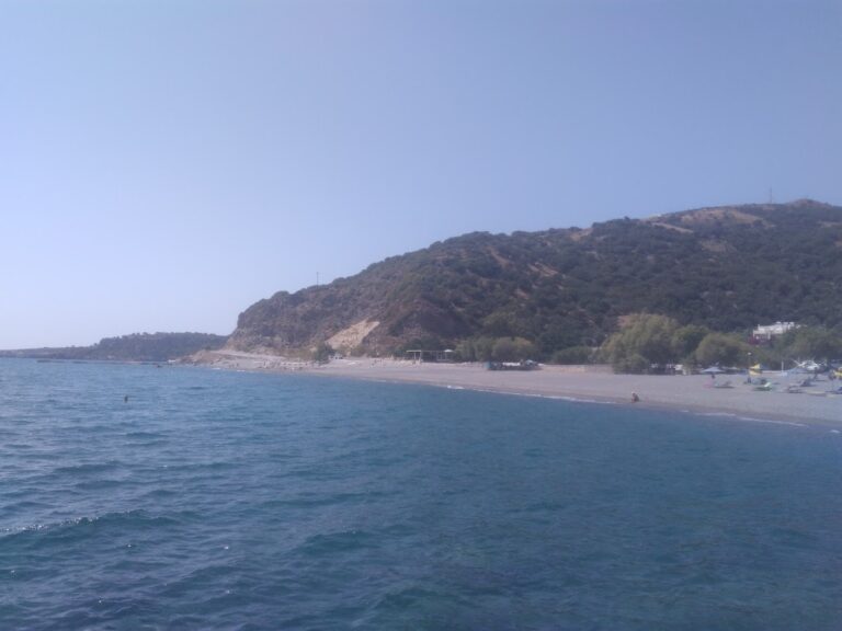
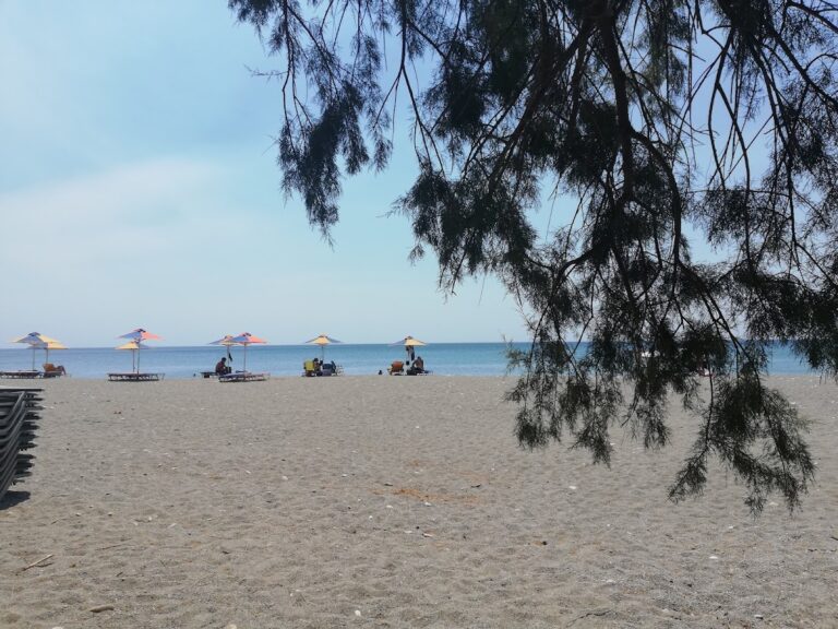
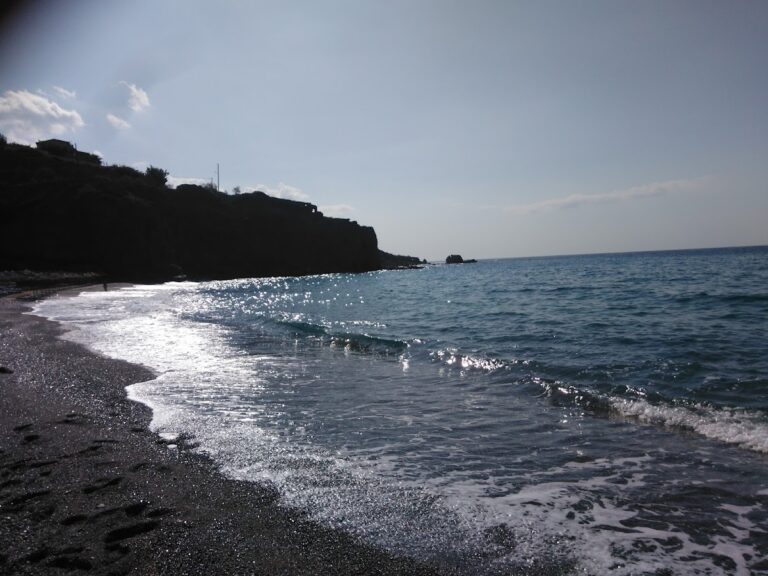
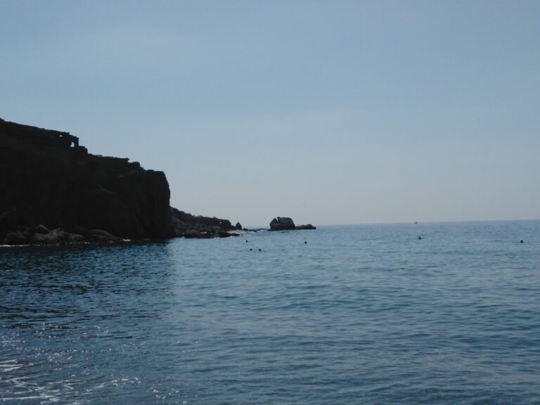
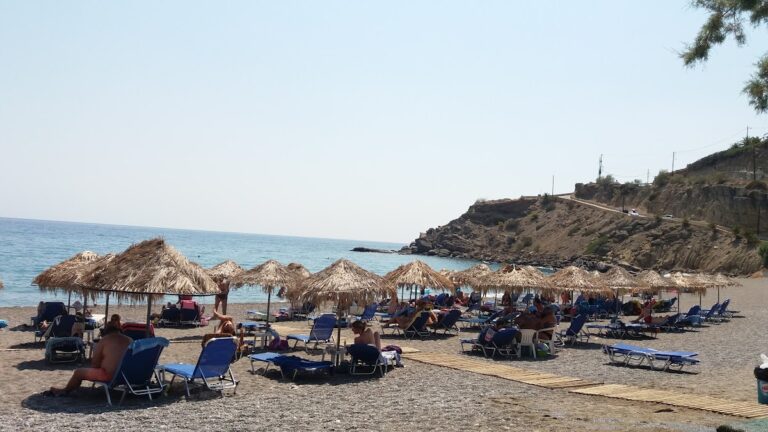
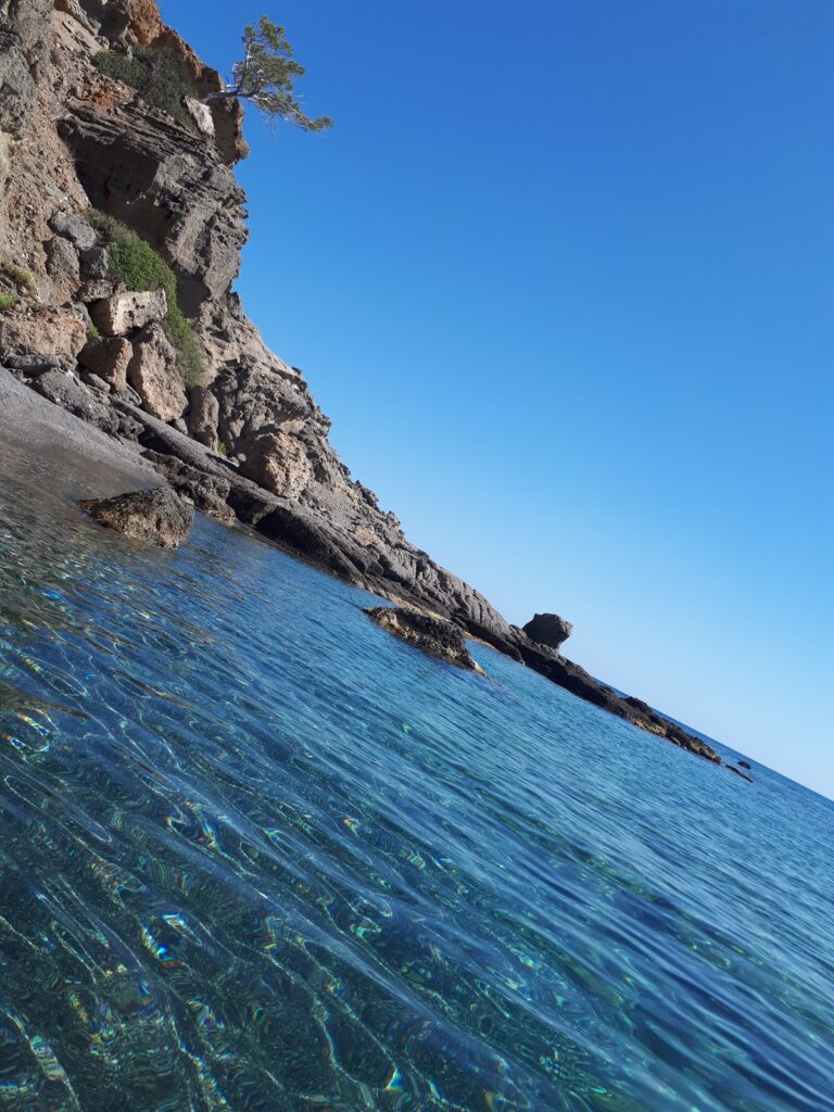
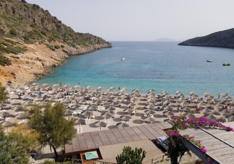
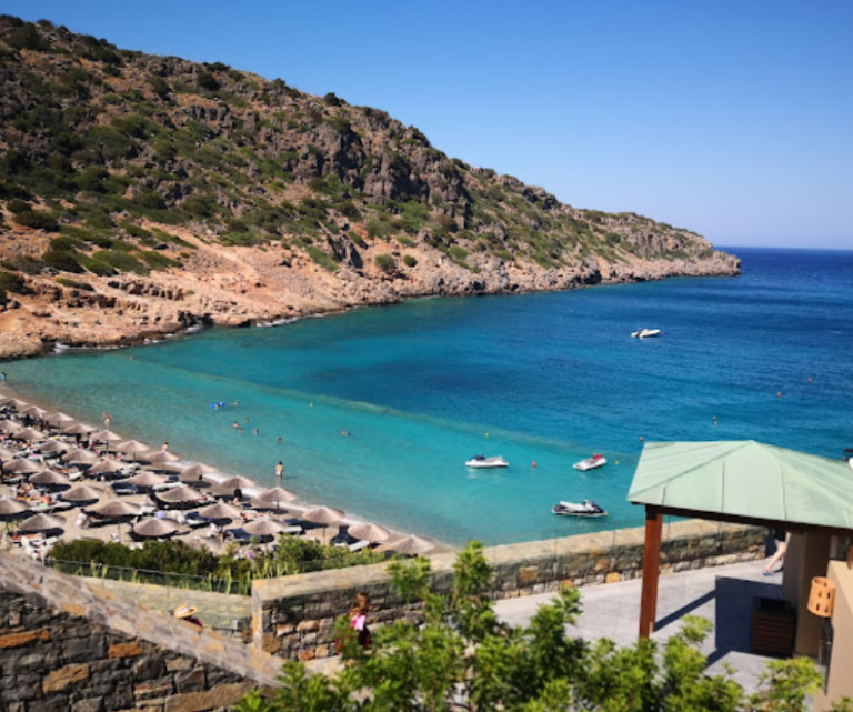
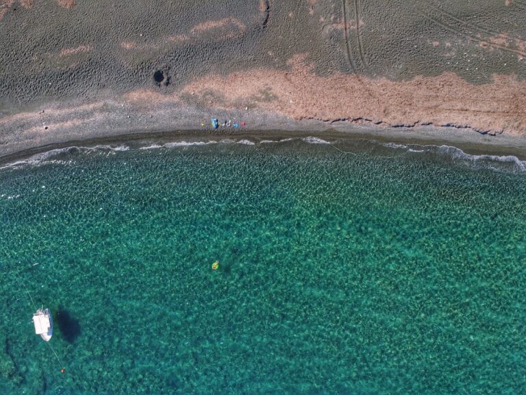
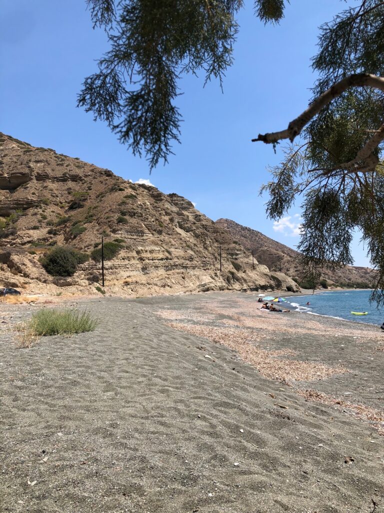
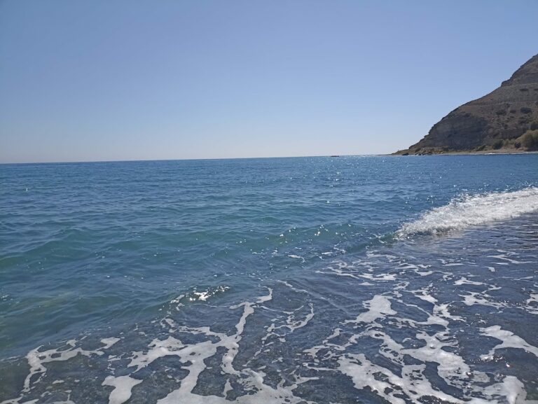
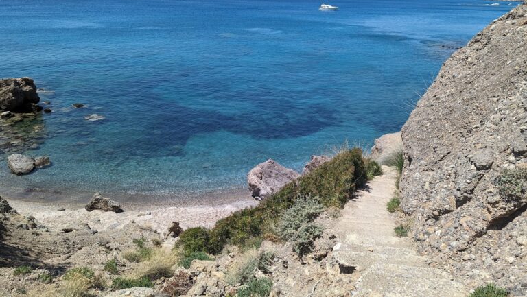
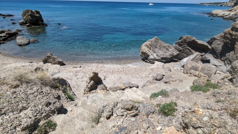
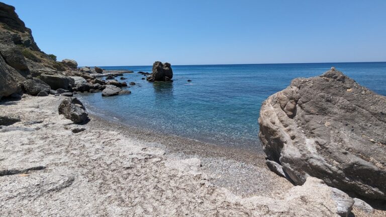
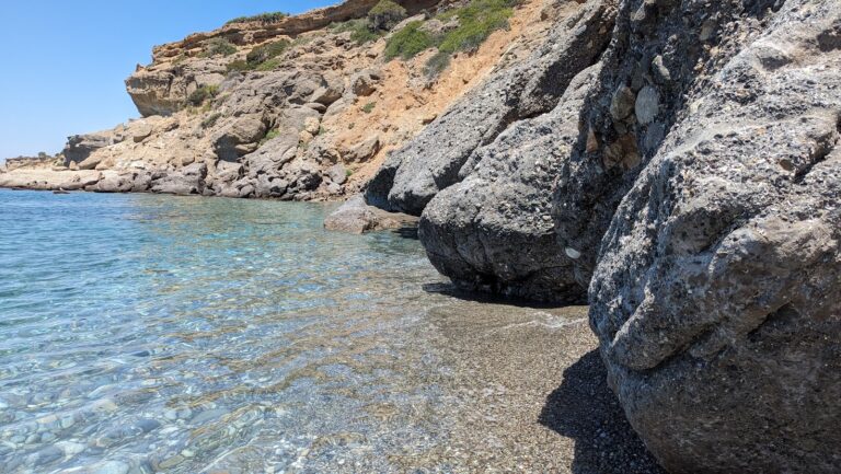
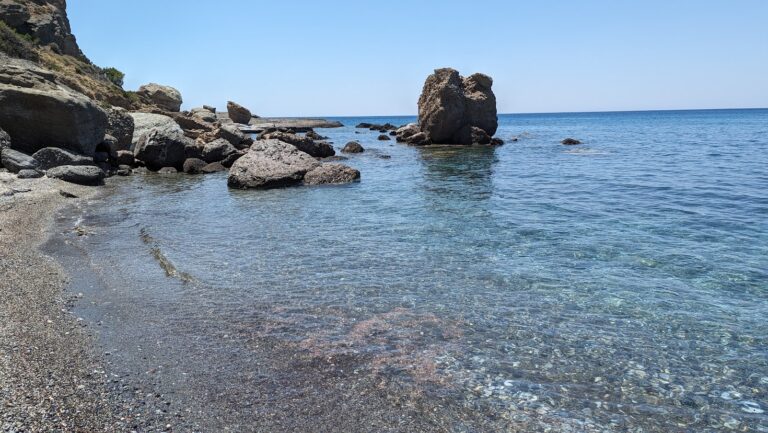
The village is home to a beautiful, long beach adorned with pebbly sand and crystal-clear deep water. The beach stretches an impressive 1.5km from the quaint harbour of Sougia at the Lissos Gorge exit to the east, concluding in a private cove surrounded by rocks. This part of the beach, largely undeveloped, is a favourite among naturists. The beach section facing the village, however, is well-equipped with facilities including umbrellas, showers, sports facilities, and a lifeguard tower. Tamarisk trees dotted along the beach provide ample shade.

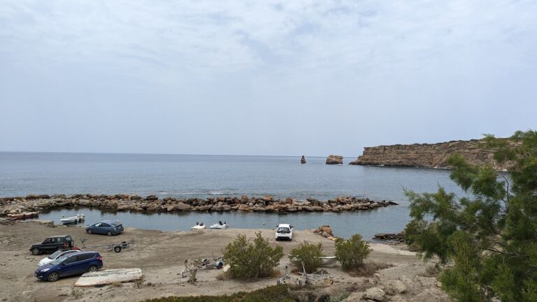
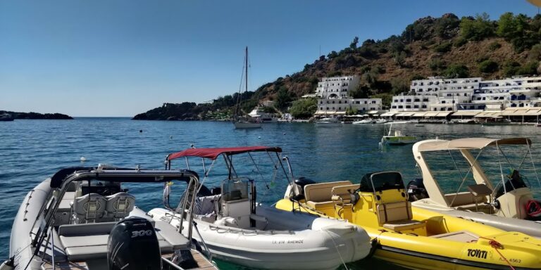
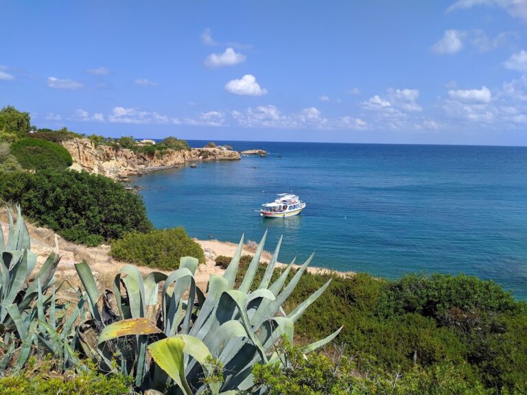
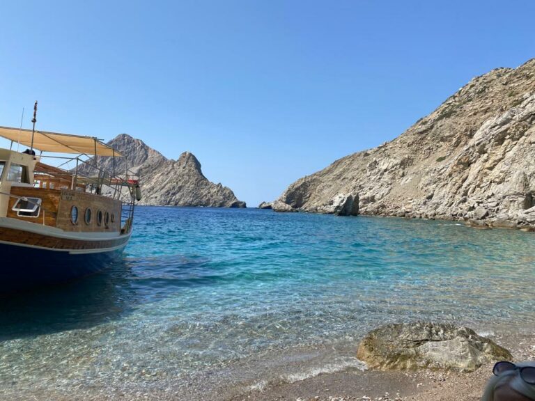
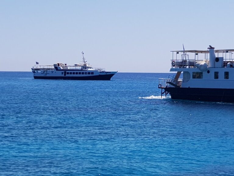
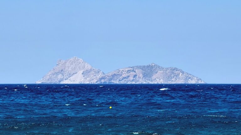
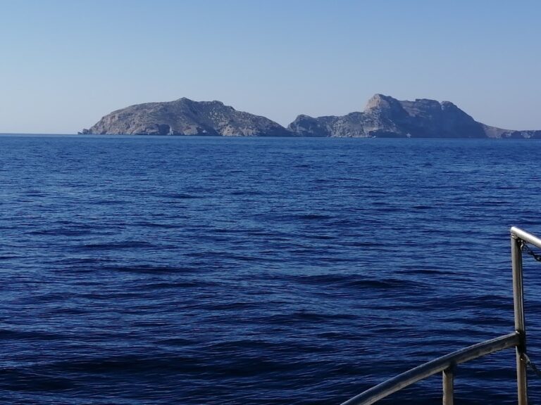
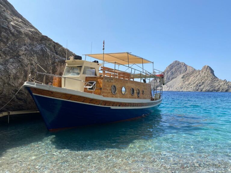
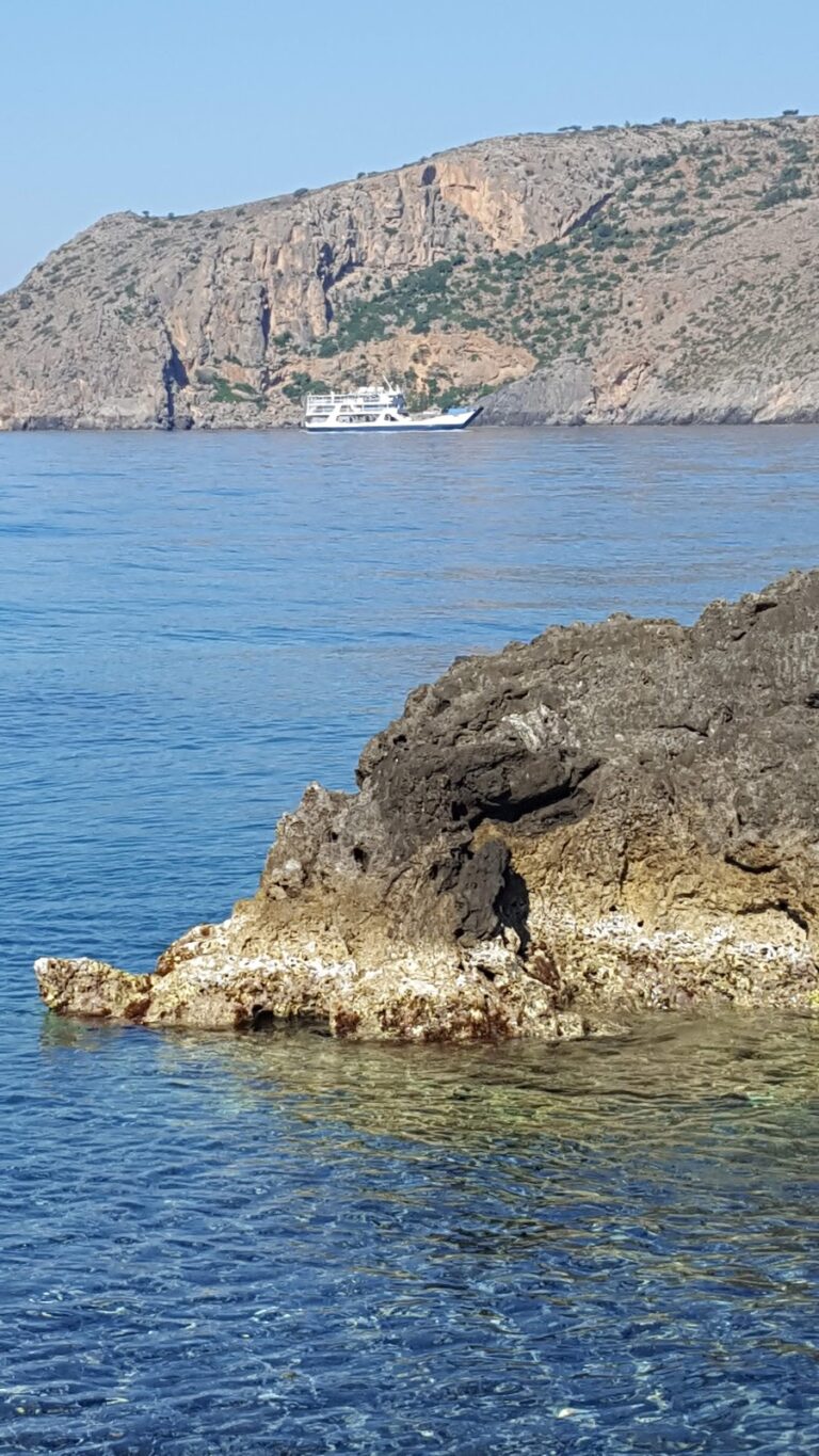
In the summer, daily ferries carry tourists from Sougia to various destinations such as Chora Sfakion, Paleochora, Agia Roumeli, Gavdos Island, and Loutro.

Historical Importance and Nearby Attractions to Sougia

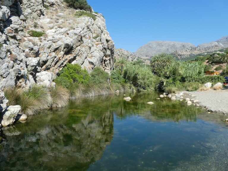
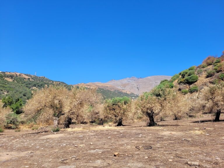
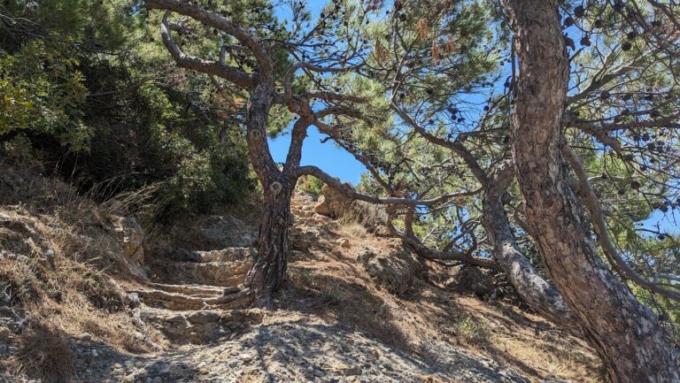
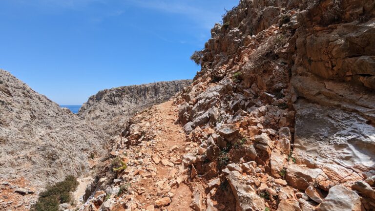
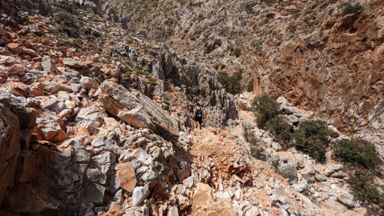
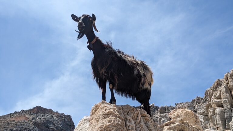
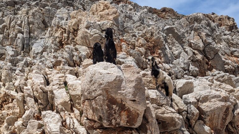
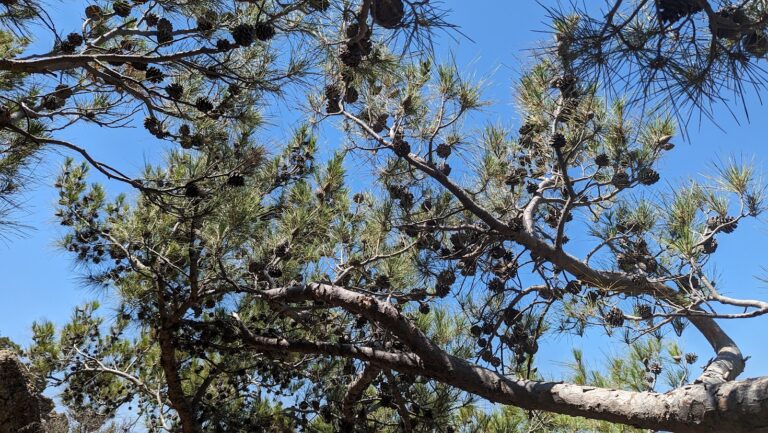
Known as Syia (“place of hogs” in Greek) in ancient times, Sougia was once a hub for pig herding due to the region’s abundant oak trees. Today, you can still see the oak trees while trekking through the majestic Agia Irini Gorge, a popular tourist spot in West Crete.

Consider exploring the remains of the Doric town of Elyros, with Syia acting as its port in the past. The ruins are located on Kefala hill, near Rodovani village. Elyros flourished from 500 to 350 BC, being one of the main cities of southwest Crete with approximately 16,000 inhabitants. Known for its weapons manufacturing, Elyros even had its own currency.

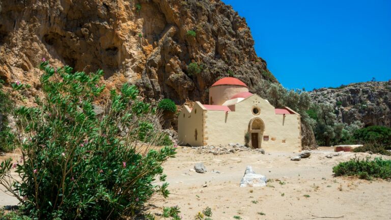
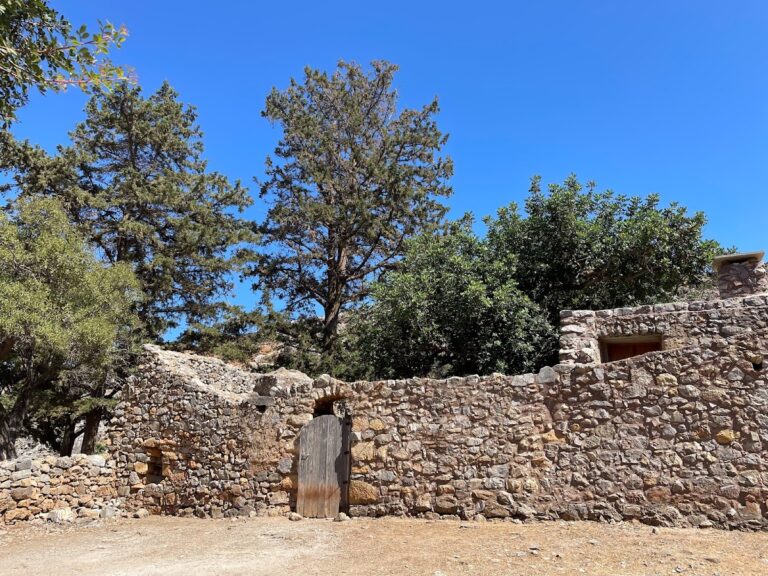
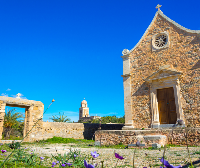
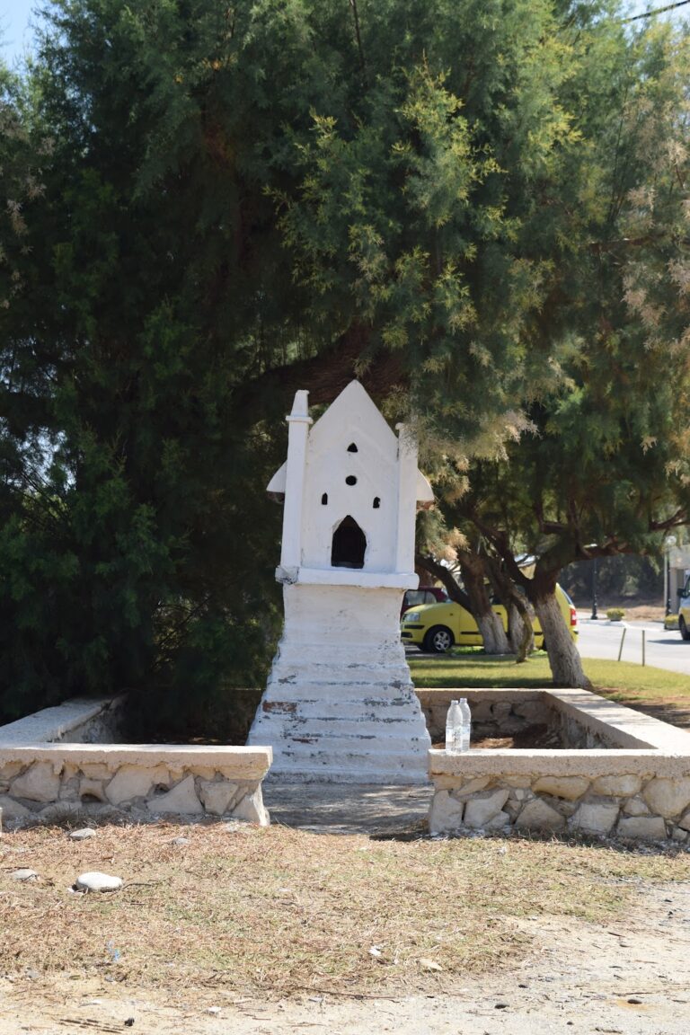
Other points of interest include the Church of Saint Panteleimon, built on the site of Syia’s early Christian Basilica, which houses ancient mosaics depicting natural scenes from the 6th century AD. Although the church is usually closed, keys can be obtained at the local kiosk.

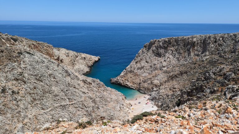
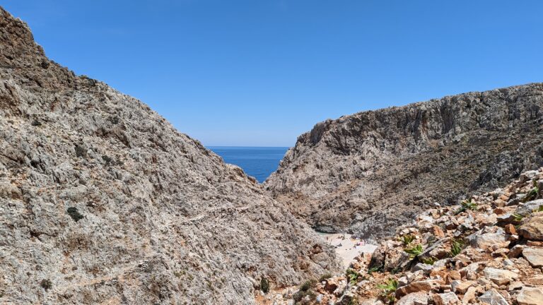
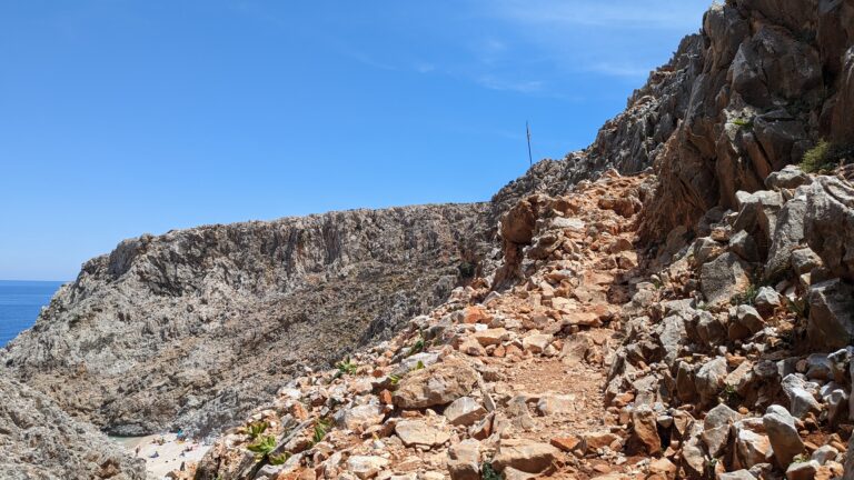
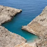
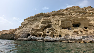
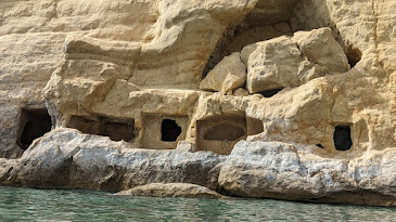
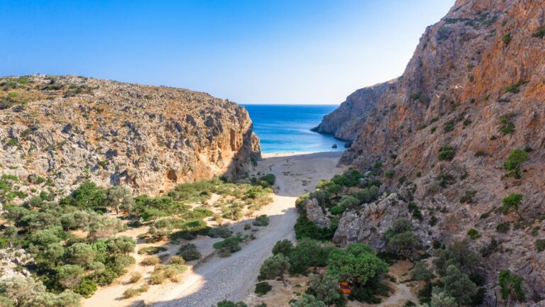
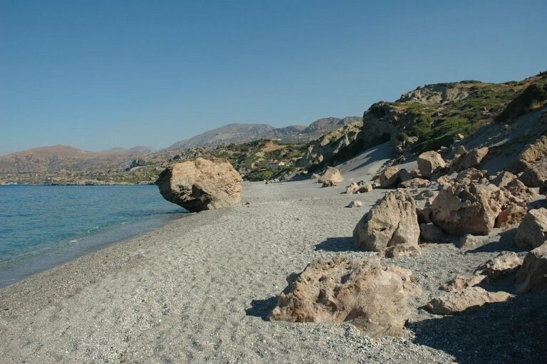
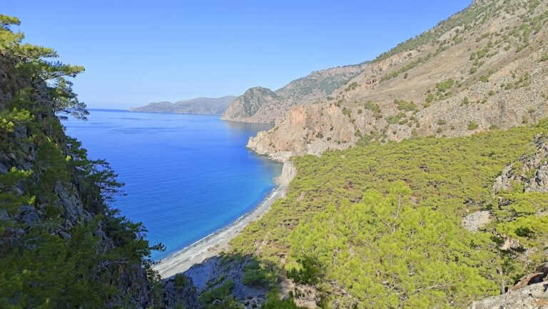
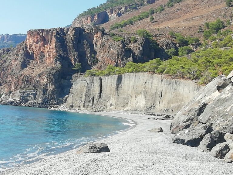
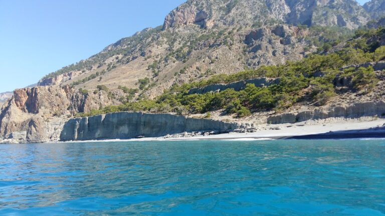
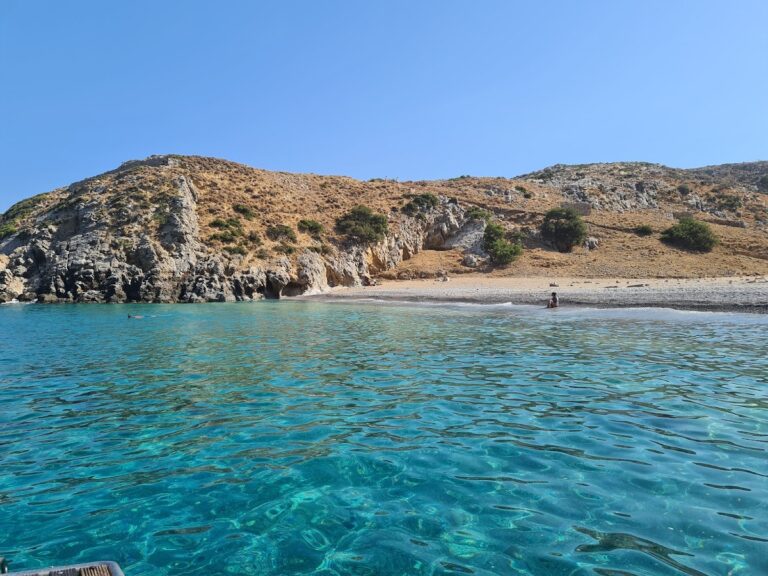
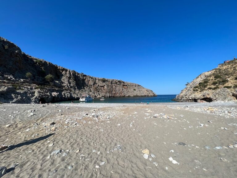
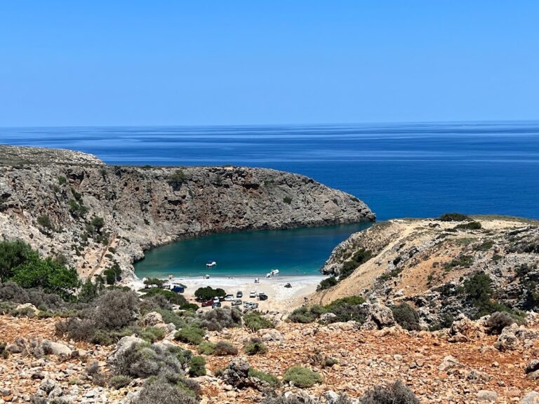
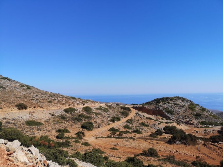
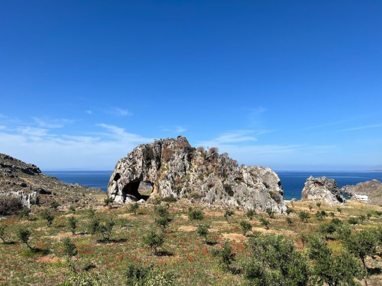
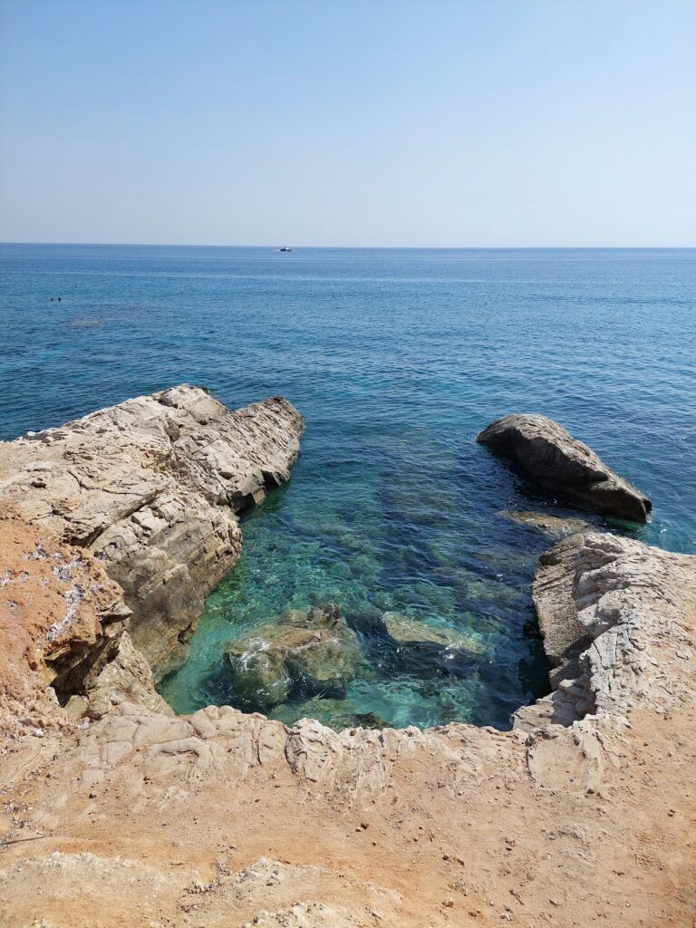
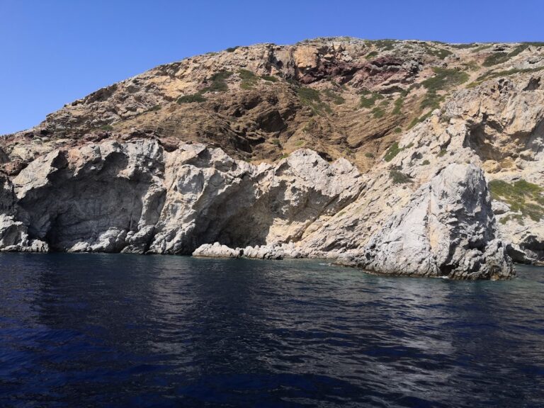
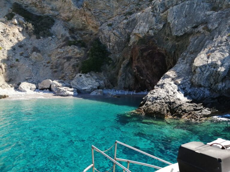
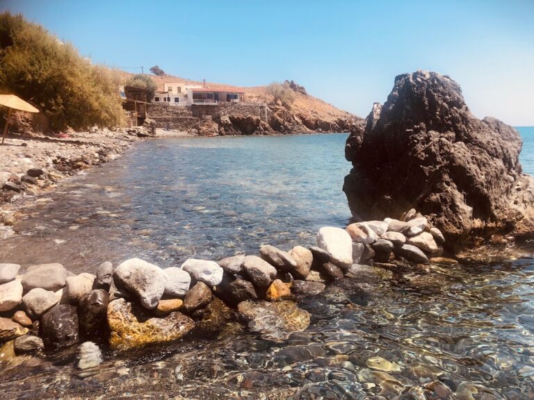
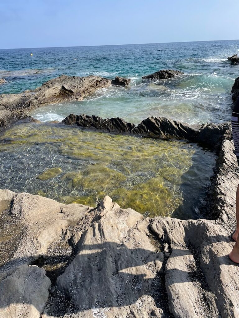
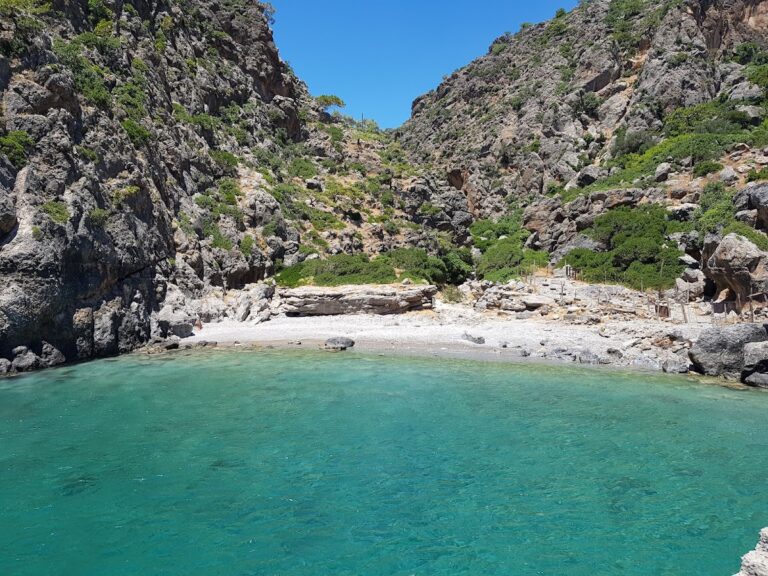
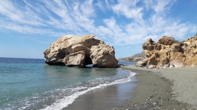
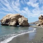
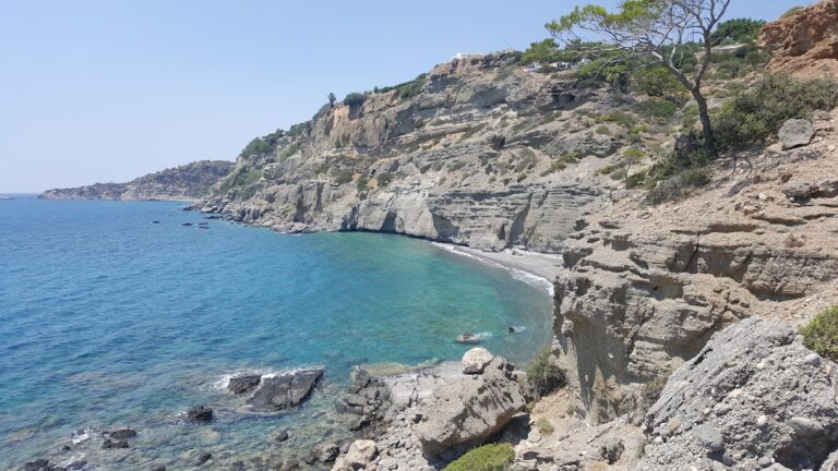
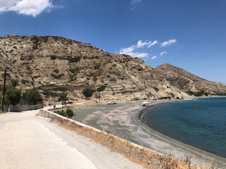
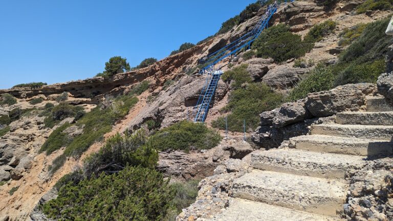
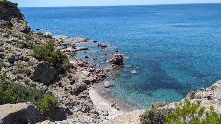
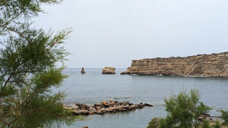
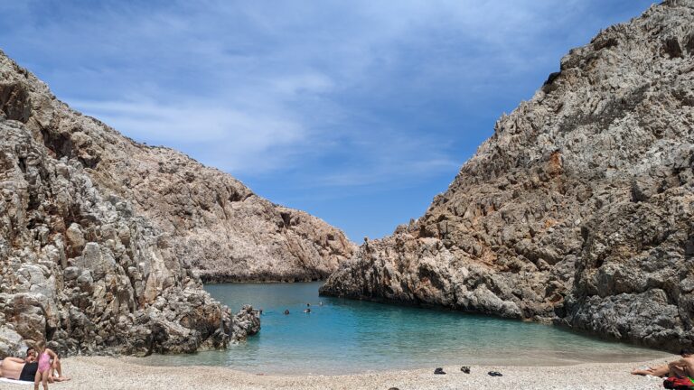
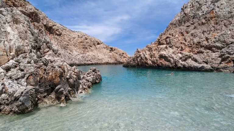
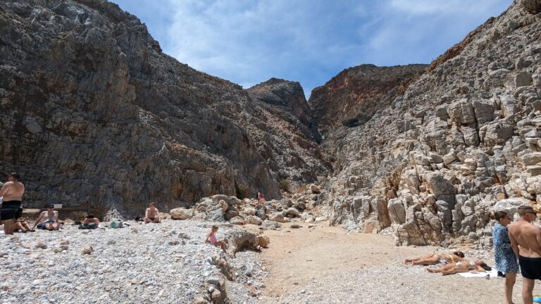
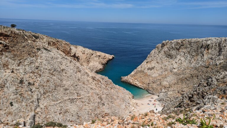
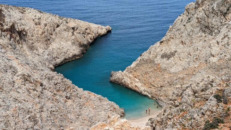
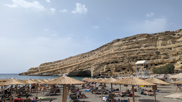
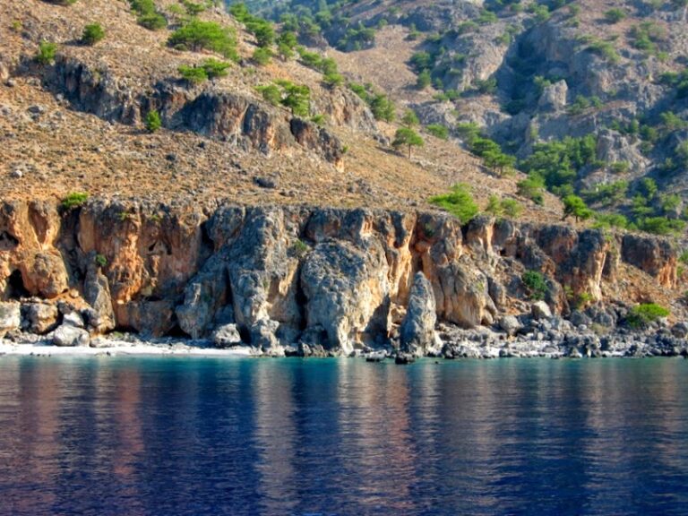
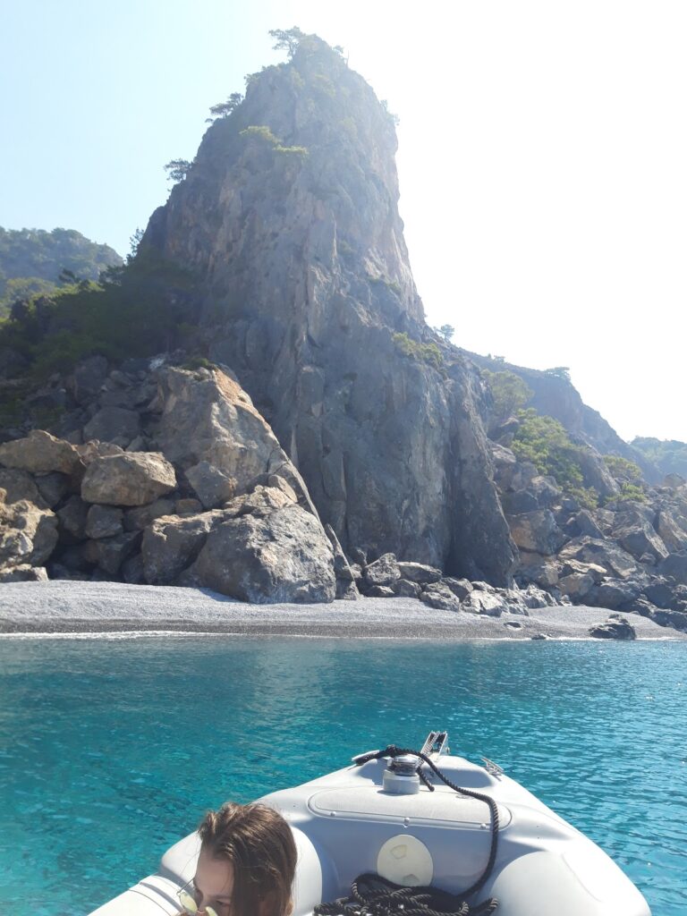
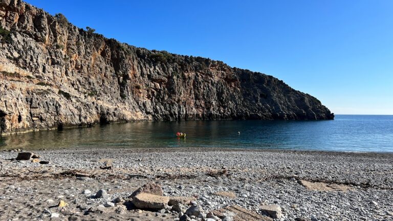
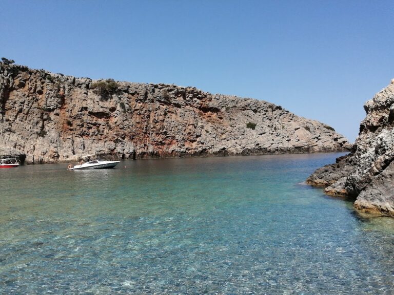
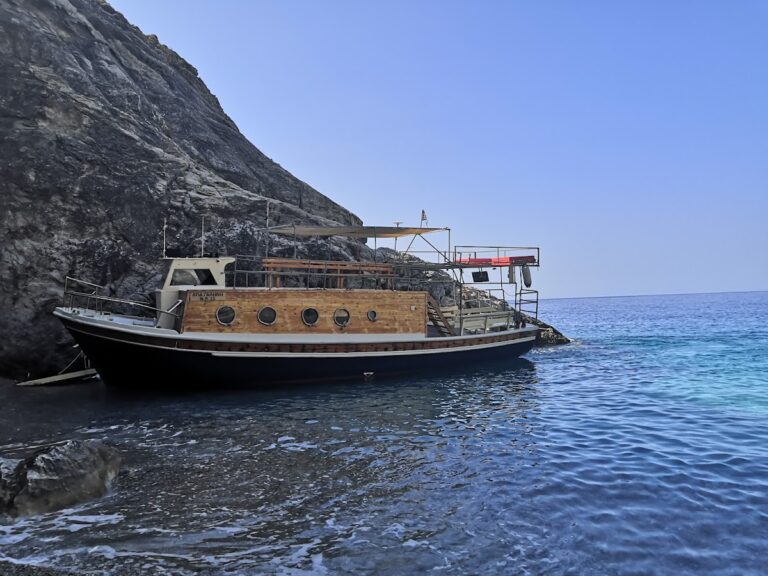
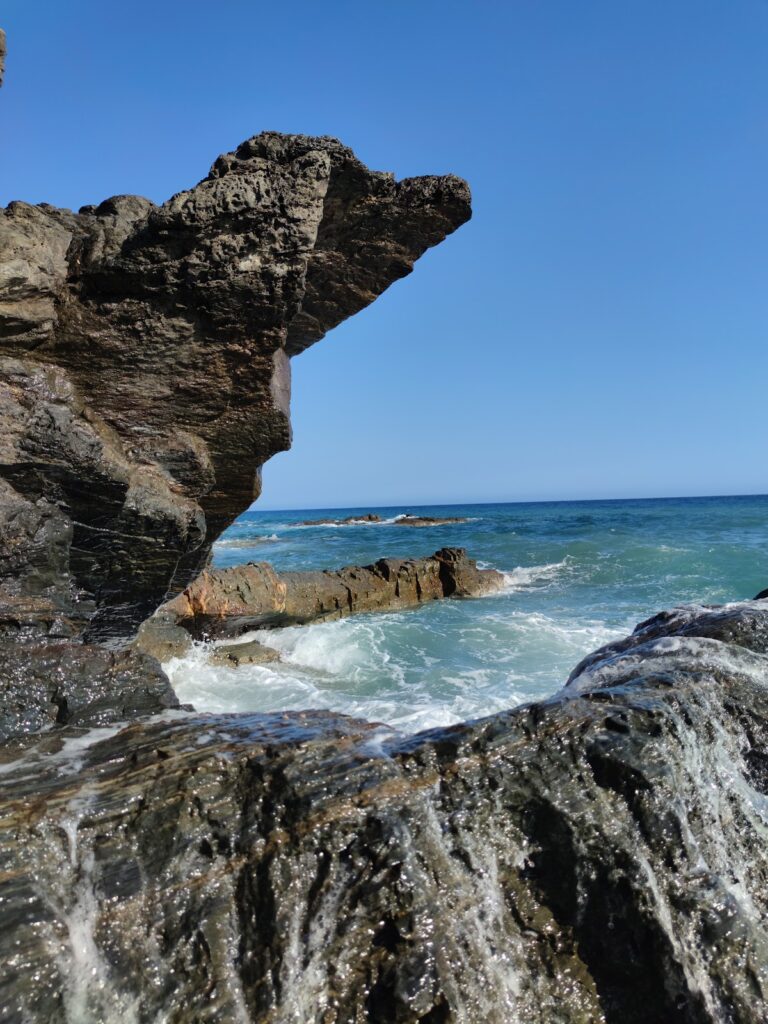
Near Sougia, the archaeological site of Lissos, Elyros’ secondary seaport, contains remnants of an ancient theatre, thermal baths, and the Asclepeion, fed by the Lissos spring. Accessible by a boat or a hike through the Lissos Gorge, the ruined city is a two-hour walk away.

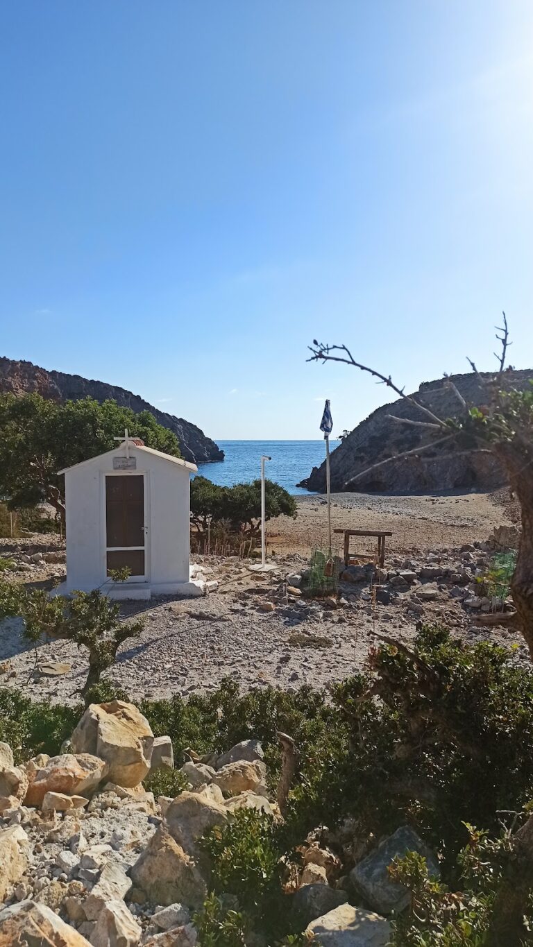
Lastly, a two-hour hike east on the E4 trail towards Agia Roumeli will take you to the picturesque St. Anthony Chapel, situated in a scenic cove, and further on, the legendary cave of Polyphemus.

  • Gerani beach
  • Fine Pebbles, Sand
  • Normal
  • Blue

Situated 13 km west of Chania city, nestled between Maleme and Platanias, lies the quaint coastal village of Gerani. The village is nestled in a lush valley filled with olive and citrus groves, which were once the primary source of income for the villagers. Today, tourism drives the economy of Gerani.

Stretching across 2.5 km, Gerani’s beach is known for its beautiful sand and crystal-clear water. The beach is equipped with numerous amenities such as umbrellas, showers, beach bars, water sports facilities, and lifeguards, making it an ideal destination for family vacations. Several tamarisk trees provide shade, and for those preferring less crowded spots, there are unorganized parts of the coast. However, visitors must tread carefully, as the sandy beach serves as a nesting ground for the Caretta caretta turtles from May to September.

The village of Gerani got its name from a simple water-pumping method used in the village. The method involved the use of a wooden fork and a horizontal piece of wood, with a rope tied at one end to a bucket and a counterweight at the other end.

Historically, Gerani is thought to be the site of ancient Kydonia, according to some scientists. It is also believed that the village once housed a temple dedicated to Goddess Vritomartis, the Cretan counterpart of Goddess Artemis.

The village witnessed a battle against the Turks in 1867, where the Cretan rebels emerged victorious. However, fearing retaliation, the locals asked the rebels to leave, leading to the Turks returning and causing havoc. Gerani also holds significance as the place where famed Cretan novelist John Kondilakis started his teaching career in 1885-1886. The school where he taught, located in Pano Gerani, still stands today.

  • Tertsa beach
  • Fine Pebbles
  • Normal
  • Blue

Tertsa, a quaint village, is nestled 91km south of Iraklion and 54km southwest of Agios Nikolaos, positioned between Myrtos and Psari Forada. The village, situated in a lush valley carved by the Tsounas river, houses a fresh water spring within a small gorge formed by the river. The majority of the land in Tertsa is owned by settlers from the northern village of Sykologos, just 7.5km away. Originally, the structures in the settlement served as storage depots for carobs and citrus fruits harvested in the region. Presently, the handful of villagers continue their agricultural pursuits, their land teeming with greenhouses of bananas and fields of tomato, pepper, cucumber and more. The Byzantine church of St. George is a significant landmark near the village.

The village overlooks a tranquil beach adorned with rough grey sand. Despite its lack of development, Tertsa retains its traditional Cretan charm, with just a few taverns and rooms available. The settlement is shaded by several tamarisk trees. The beach extends westward to Vourdolakos bay, beyond the rock of Psaroharako. The beach beyond the rock, also named Psaroharako, is more secluded and beautiful than the one in front of the settlement.

  • Korakas beach
  • Fine Pebbles, Rocks in places
  • Normal
  • Blue

Situated 45km southeast of the city of Rethymno, right on the edge of the steep Rodakino canyon that cuts through the Kryoneritis mountain, is the village of Rodakino. The village is nestled between the resort of Plakias to the west and Fragokastelo to the east. Rodakino, a traditional Cretan village, spreads on both sides of the gorge, creating two distinct settlements known as Kato and Ano Rodakino. From the village, one can enjoy the stunning views of the azure South Cretan Sea. The village derives its name, which translates to ‘peach’ in Greek, from a peach tree that managed to grow in the region’s arid climate. Some locals, however, believe the gorge was originally named Rikinthos, which over time morphed into Rodakino.

A few kilometres south of the village, where the canyon’s torrent meets the sea, lie several serene beaches. To reach them, one must follow the road leading to Korakas beach. Despite being blessed with an extensive beachfront, Rodakino has managed to preserve its traditional charm and tranquillity. The first beach you encounter at the end of the dry river is the Korakas beach, named after the Greek word for ‘crow’. It boasts of a long coastline with fine greyish pebbles and crystal-clear waters. There are a few amenities like umbrellas, taverns and rooms for rent. On the eastern end of the beach, there are hollowed-out rocks that locals believe once resembled a crow’s beak before being eroded by the sea and salt.

In the vicinity of Ano Rodakino, you’ll find the age-old churches of the Assumption, Transfiguration and Saint Panteleimon. Kato Rodakino is home to the old churches of St. George, Prophet Elijah and St. Anthony. Adventure seekers can follow the E4 trail to the summit of Kryoneritis Mount and then descend to Alones. At the peak, you’ll find the Church of the Holy Spirit, where a grand festival is held annually. According to local folklore, a shepherd discovered an icon of the Holy Spirit in a hole near the chapel, guided by the light of the Holy Spirit. The icon would mysteriously disappear when taken home and reappear at the same spot. This story led to the construction of the church. Moreover, the first flag of the Revolution was unfurled at the Kourkoulos site on May 24, 1821, by Melchizedek Tsouderos, the abbot of the Preveli monastery.

During the Cretan revolution of 1866, Korakas bay played a significant role as a landing spot for Greek cruisers unloading munitions, which were stored in the nearby Skotini cave. It was also the site where the famed steamship “Arcadi” made one of its final voyages to deliver munitions but was forced to retreat by the Ottomans.

  • Galini beach
  • Fine Pebbles
  • Deep
  • Deep blue

Situated 47km southeast of Agios Nikolaos and 13km east of Ierapetra, near Achlia beach, lies the quaint village of Galini. Nestled amidst a lush landscape dotted with pine trees, Galini is a small yet slightly developed village. The coastline surrounding the village is marked by numerous hidden coves and pebbly beaches, only accessible via a few well-concealed paths.

Among these is Galini beach, a serene spot nestled between Ahlia and Agia Fotia. Characterized by fine pebbles and clear calm waters, the beach’s seabed is rocky in certain spots. The beach remains concealed from the main road due to towering conglomerate rocks and isn’t easily accessible, making it a quiet and ideal spot for those seeking solitude. While the beach is not organized, the proximity of village hotels and taverns makes it convenient for visitors. A short path from Galini’s main road leads directly to the beach.

  • Agia Roumeli beach
  • Fine Pebbles, Pebbles
  • Deep
  • Deep blue

Situated 56km south of Chania city, Agia Roumeli is a quaint village nestled in the wide bay at the exit of Samaria Gorge. This serene village, set against the rugged and mountainous backdrop of Sfakia province, attracts thousands of visitors every day who descend through the gorge. The village can be reached either by trekking through the gorge or by taking a ferry from Chora Sfakia, Loutro, Paleochora, and Sougia. The village offers basic amenities like traditional taverns, accommodation facilities, cafes, a mini market, internet access, and a telephone.

From 13:00 to 16:00, the village and its beaches are bustling with visitors, but it regains its tranquillity after the departure of the ferries. An overnight stay in the village offers a unique opportunity to appreciate the beauty of this place, its warm-hearted inhabitants, delectable food, and breathtaking natural beauty.

The magnificent beaches of Agia Roumeli spread over a length of 3km or more. The area near the village is more crowded and organized, with Gialos beach in front of the taverns being the most developed and crowded. Other beaches include beautiful pebbly beaches at Zeromouri, Mashali, and beaches near the caves known as Spilies sto Marmaro or Caves in Marble.

The Samaria Gorge, the longest in Europe at 18km, is a prime attraction, drawing thousands of tourists in summer who trek the distance in about 6 hours. Some tourists visit Crete specifically to traverse the majestic gorge. If time is a constraint, you can start from Agia Roumeli and walk backwards.

Agia Roumeli is built on the ruins of the Roman settlement, Tara. The ruins of the Temple of Apollo (or Artemis) and the old church of Panagia (Virgin Mary) built in 1500 can be found west of the village. A ruined Turkish castle (Kule), offering spectacular views of the village, the Libyan Sea, and the islands of Gavdos and Gavdopoula, sits atop the hill above the village. Nearby, you can visit the beautiful church of St. Anthony nestled in a rocky cavity.

About 2km north of the village, within the gorge, lies the old village of Agia Roumeli, surrounded by greenery. Here, you can find ruins of old houses and some restored homes. The village, devastated by floods in 1954, was relocated to its current location in Agia Roumeli.

Agia Roumeli’s people and food are attractions in themselves. The locals are true Cretans, warm and welcoming, offering home-bred meat, cheese, vegetables, and honey in their restaurants. Despite the influx of tourism, Agia Roumeli has retained its authenticity and charm, offering visitors a chance to experience traditional Cretan hospitality, savor local delicacies, and enjoy the serenity of nature.

  • Vathi beach
  • Fine Pebbles, Sand
  • Normal
  • Blue, Deep blue

Situated just 10km south of Agios Nikolaos before reaching Istron’s beaches, you’ll discover the lesser-known beach of Vathi. This hidden gem wasn’t on the map before 2010, as it’s a man-made creation and is not visible from the main road connecting Agios Nikolaos with Eastern Crete.

Nestled within a well-protected cove, Vathi remains largely unaffected by wind, except for the infrequent easterly gusts. The beach is characterized by its pristine white sand that enhances the mesmerizing hue of the sea. Managed by the nearby luxury resort, Daios Cove, the beach is well-equipped with amenities.

For non-hotel guests, accessing Vathi involves a descent down a concrete pathway and staircase. To find the entrance, take a left just before the hotel gates and follow the road until it leads to a narrow path heading towards the stairs. Vathi is an excellent choice for families thanks to its calm, waveless waters. For those keen on exploring, snorkelling along the rocky edges of the bay offers another dimension of this unique beach.

  • Kalikovrechtis beach
  • Fine Pebbles, Pebbles
  • Normal
  • Blue

The Kallikovrechtis beach, situated 19km west of Ierapetra and 4km east of the scenic town of Myrtos, can be accessed via an asphalt road from Myrtos or Tertsa. This beach is part of the Ghodia village outskirts and is created at the Kalikovrechtis stream’s exit, nestled between the peaks of Kolechtos and Kako Oros, right on the boundary that separates the counties of Heraklion and Lassithi.

Kallikovrechtis is home to only a handful of cottages, and the beach itself is entirely untouched. It boasts beautiful, fine, greyish pebbles, and the water is typically tranquil. A few tamarisk trees provide shade, and due to the high and steep slopes, the beach gets shaded early in the afternoon. The road linking Teresa and Myrtos runs directly above the beach, making access quite easy.

  • Giorgakis beach
  • Fine Pebbles, Sand
  • Deep
  • Blue

Situated about 10km east of Ierapetra and 45km southeast of Agios Nikolaos, within the vicinity of the Agios Ioannis village, lies the beautiful Giorgakis beach. This stunning beach is nestled in the Ferma area, a region renowned for its numerous beaches. Despite being surrounded by towering cliffs, you can reach the beach via stairs originating from the Ferma Solaris Hotel. Once you descend, you’ll find yourself on one of the most picturesque beaches in East Crete, adorned with fine pebbles, rocks, and naturally formed caves.

The beach is segmented into two sections by a low-lying rock. The smaller western beach is the outlet of a local stream that meanders from the Strongyli peak region. Before reaching the beach, the stream creates a stunning waterfall, about 10 meters in height, which showcases vibrant rocks and dries up during the summer.

Ferma’s broader area is a lush oasis within the typically dry landscape of Eastern Crete, enveloped by pine trees and dense vegetation. Nearby, you’ll find several freshwater springs that continue to drip, even in summer, promoting the growth of such lush greenery.

© All rights reserved. Crete Locals