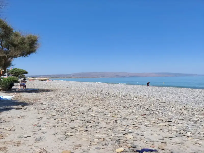
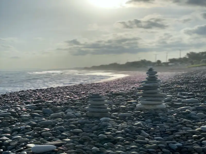
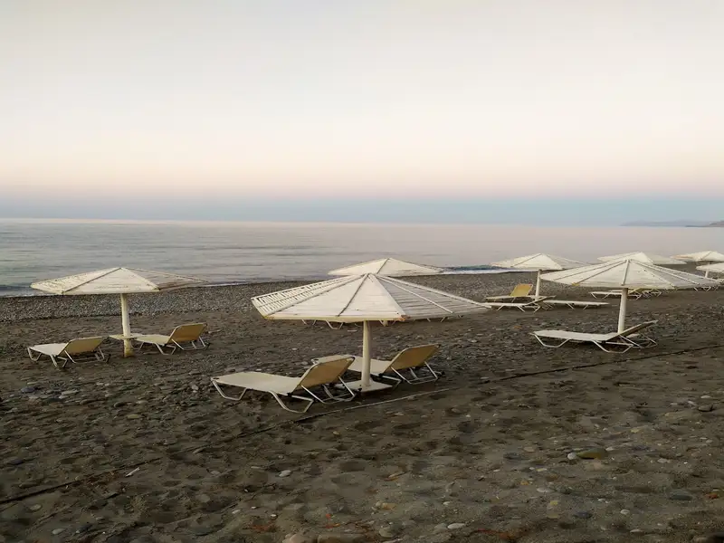
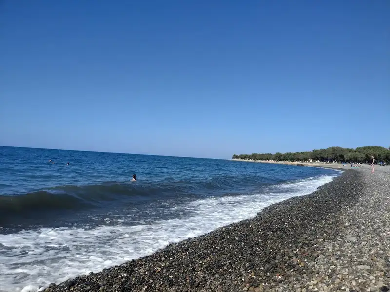
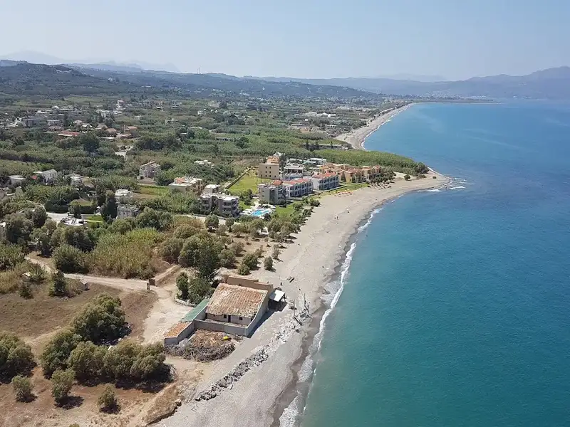
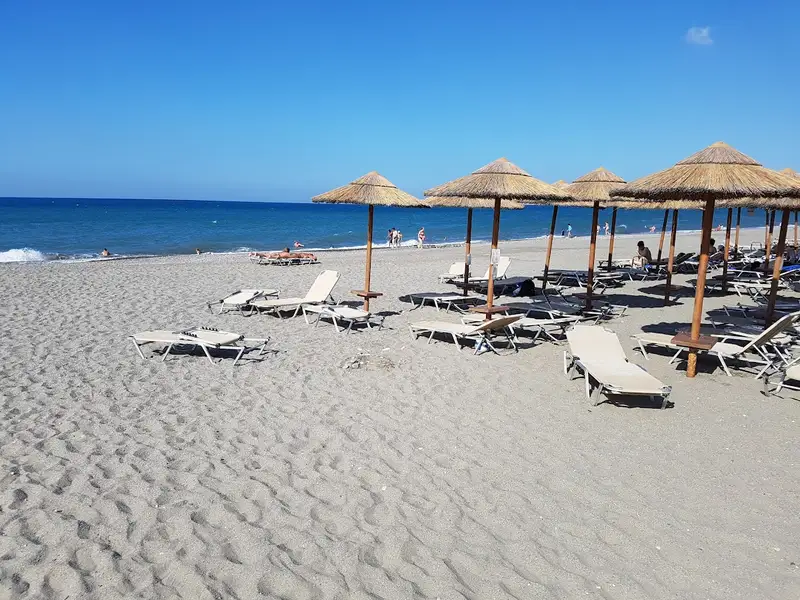
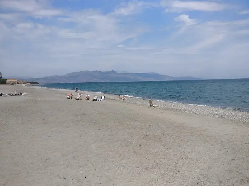
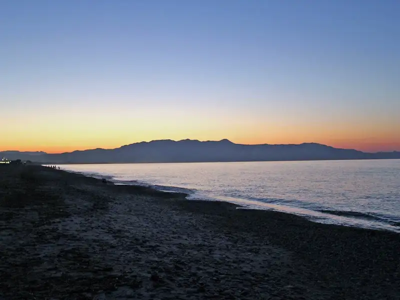
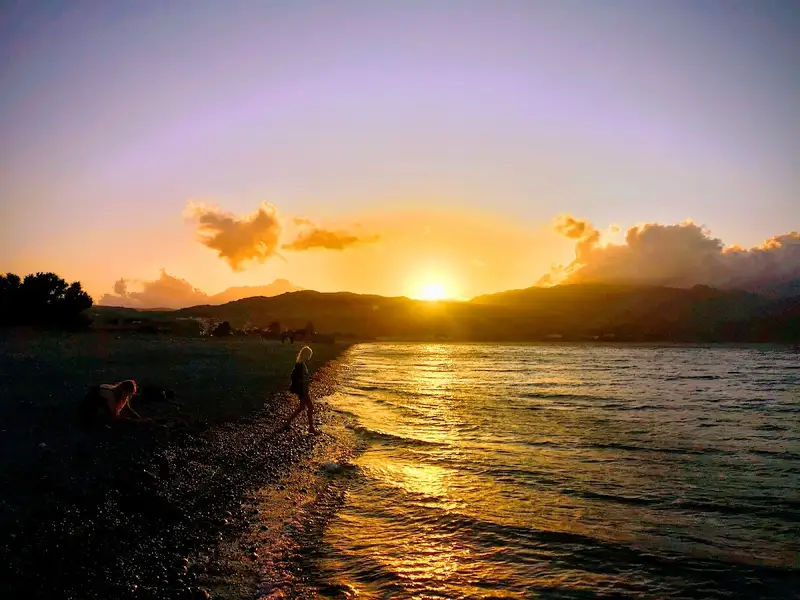
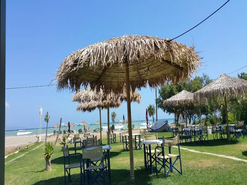
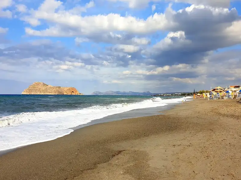
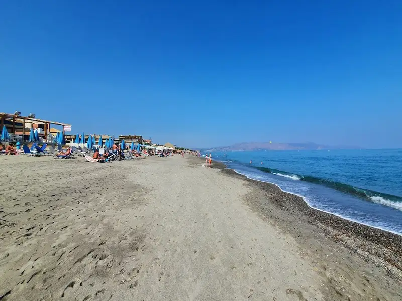
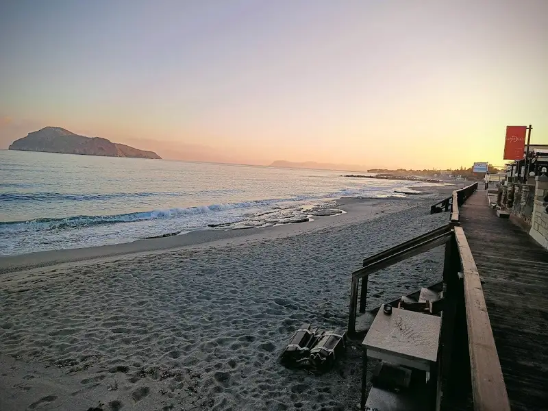
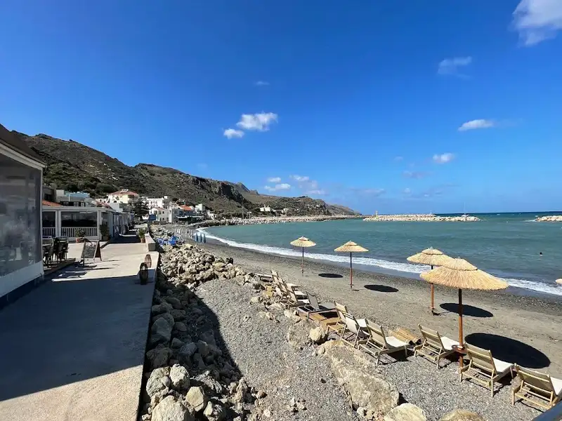
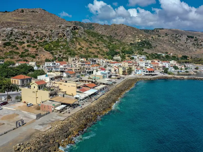
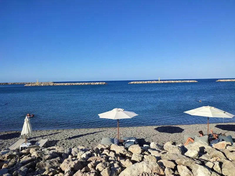
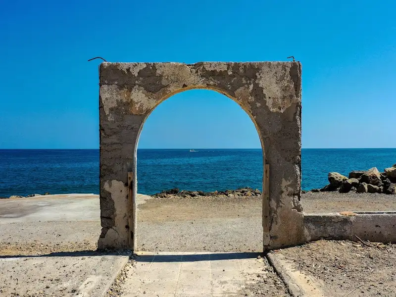
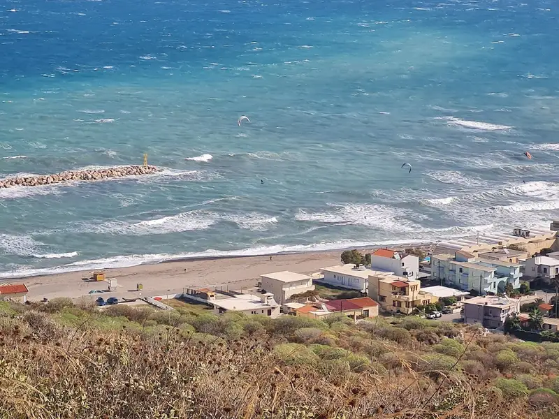
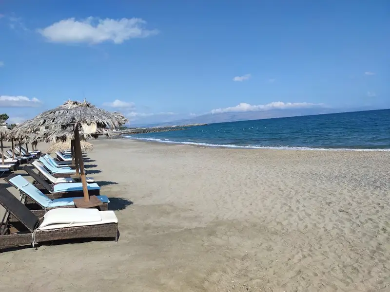
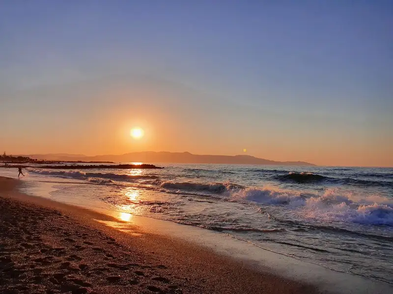
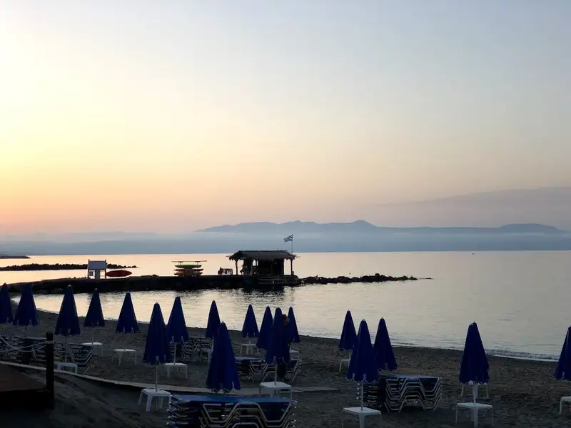
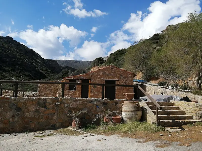
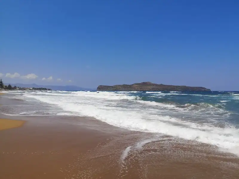
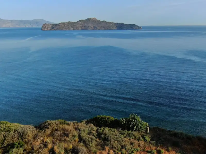
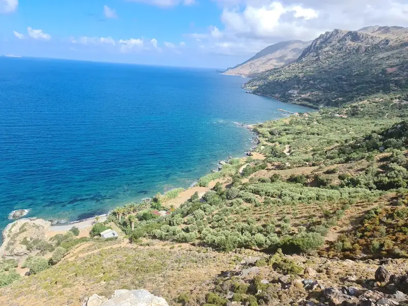
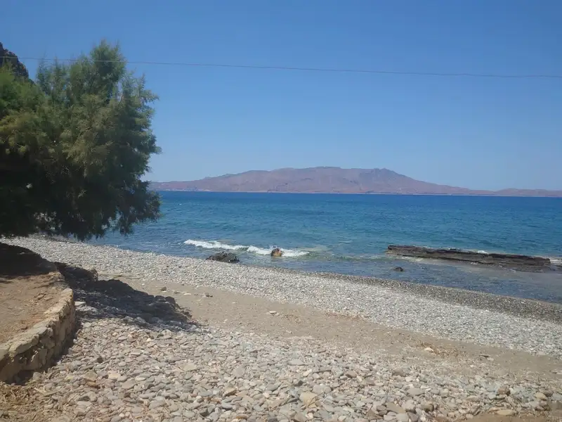
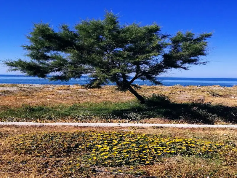
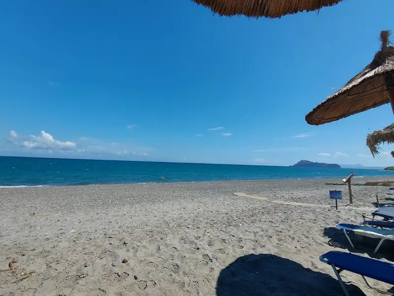
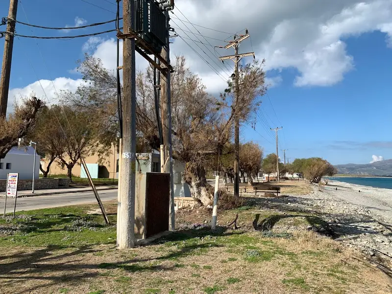
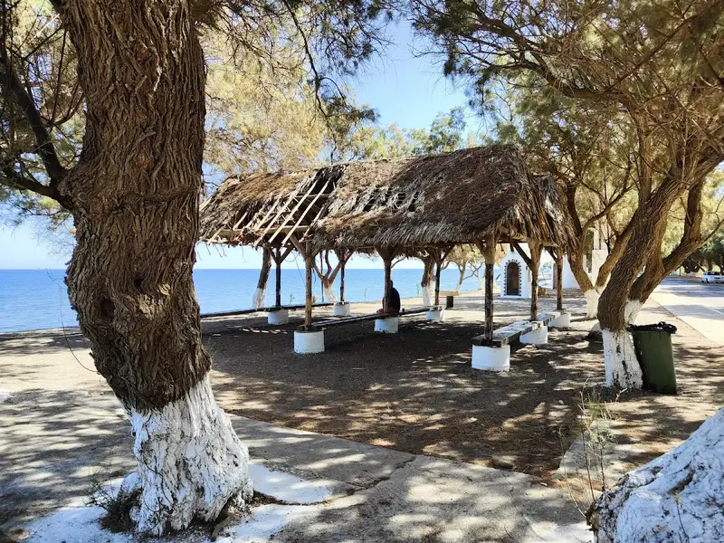
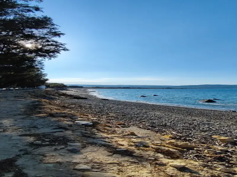
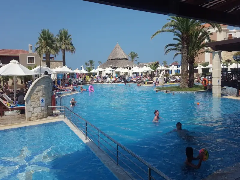
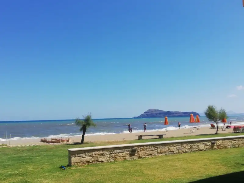
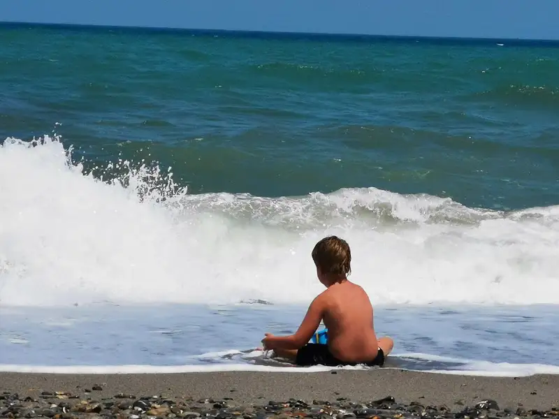
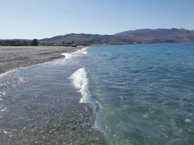
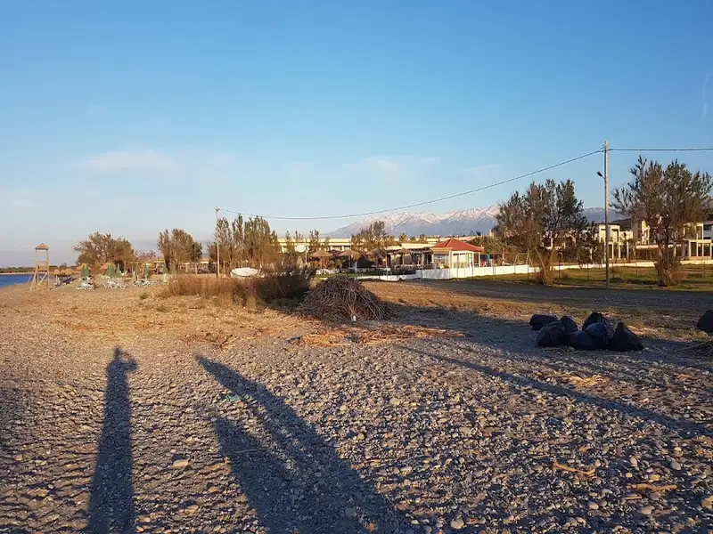
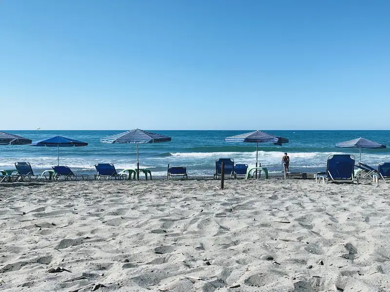
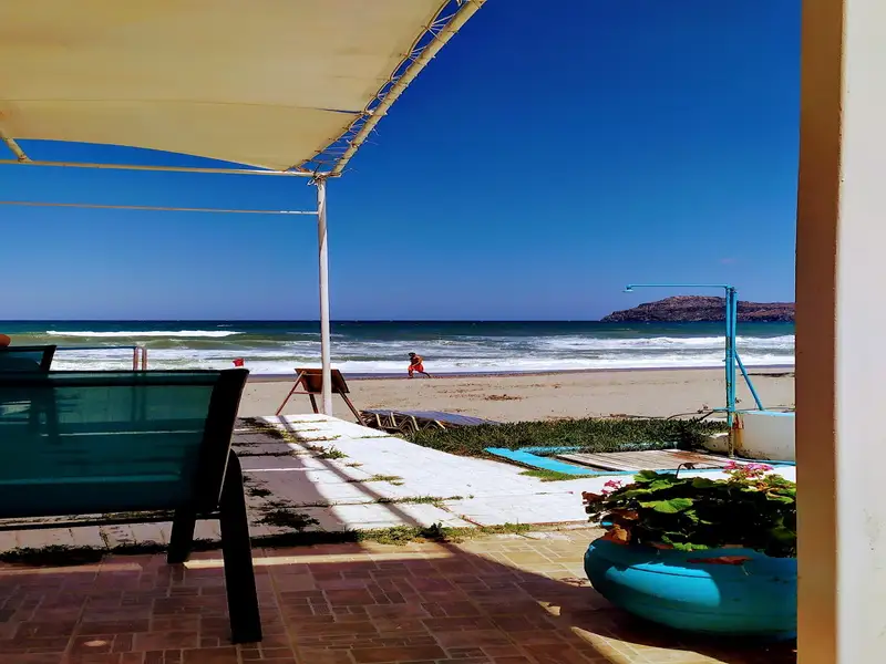
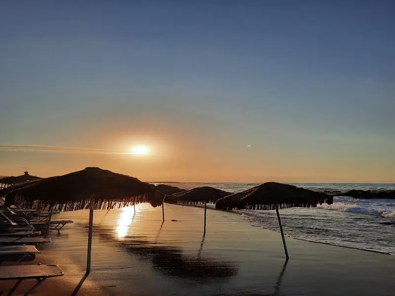
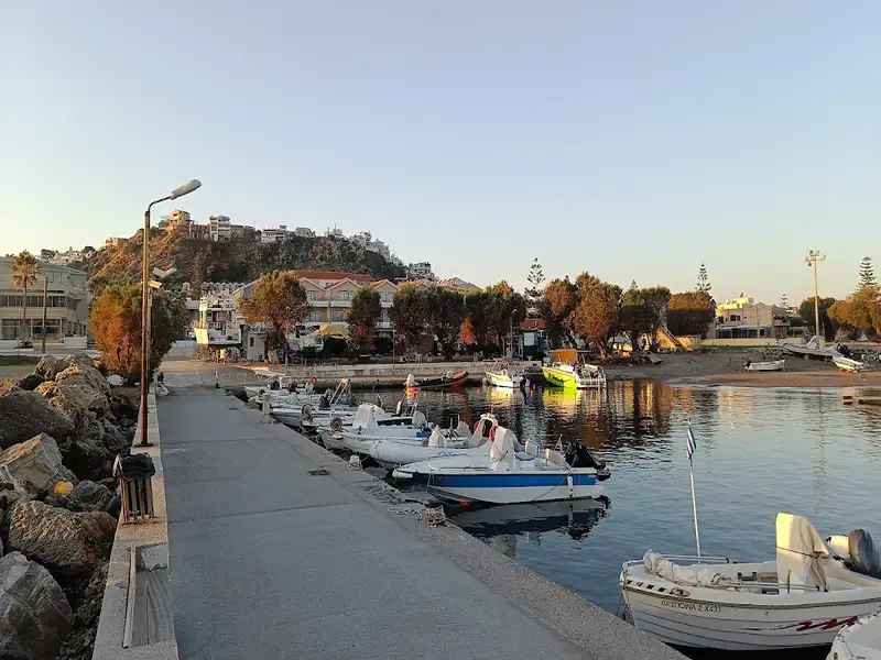
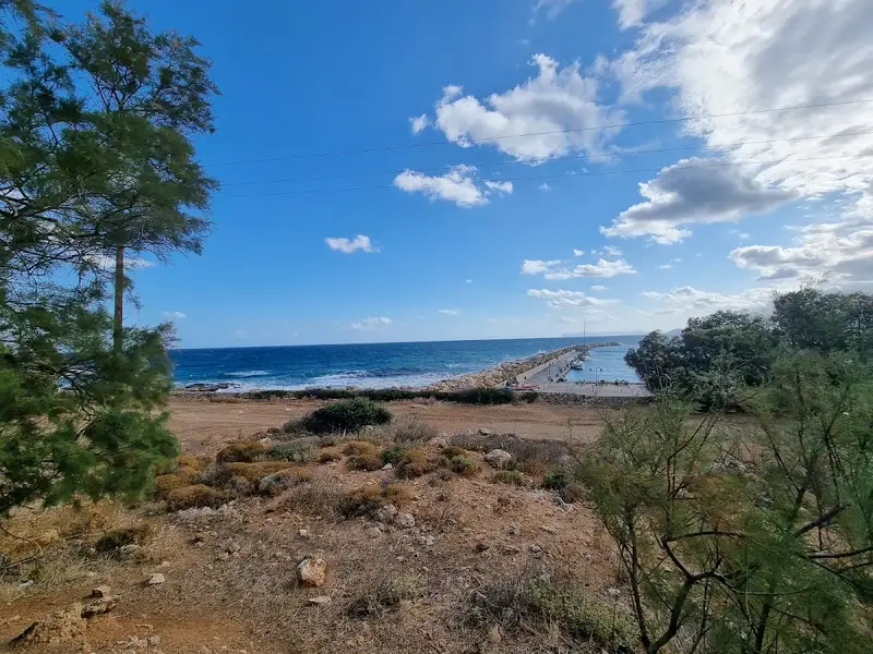
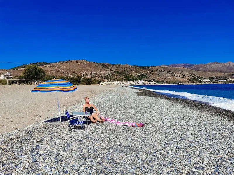
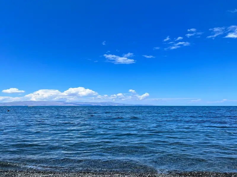
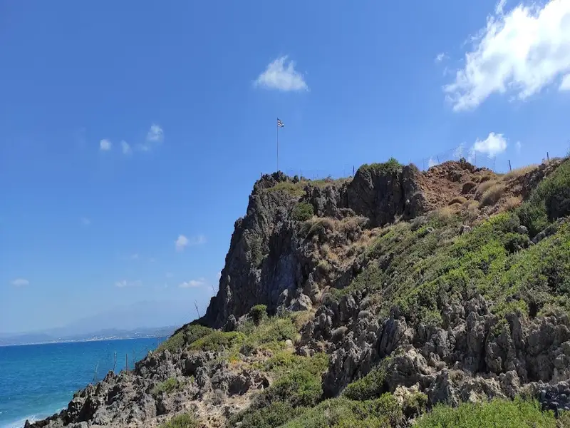
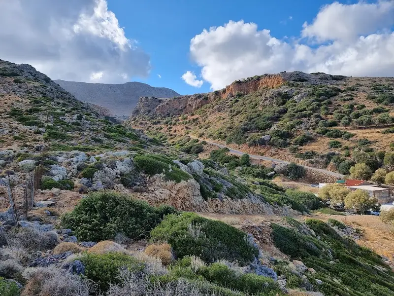
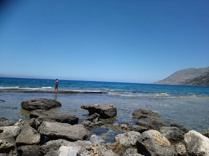
Situated 18km west of Chania, Maleme forms part of the expansive beach that stretches from Kolimbari to the vicinity of Chania. This lengthy bay is adorned with stunning sandy and pebbly beaches, although they are exposed to frequent northerly winds. The beach at Maleme is sandy and the surrounding area is well developed, with all necessary amenities conveniently located near the beach. For those seeking a more secluded spot for a swim, the west end of the beach, adjacent to the old military airport, offers a quieter location.
The name Maleme is believed to derive from the word “Malama”, translating to gold, hinting at the possibility of a gold mine existing in ancient times, although this hasn’t been confirmed. In addition, a domed tomb from the late Minoan period has been discovered near Maleme. Despite having been looted, two cylindrical seals depicting running wild animals were found by archaeologists.
During World War II, Maleme held significant historical importance. It was home to the Allies’ military airport until it was seized by German forces. The Battle of Crete in 1941 saw German paratroopers descend upon Maleme to gain control of the airport. They were met with fierce resistance from local Cretans and Allied forces, leading to substantial casualties on the German side. With only rudimentary weapons at their disposal, the local Cretans dealt a significant blow to the German paratroopers, which drew praise for Cretan patriotism from Hitler himself. This marked the first time in the Second World War where German forces faced strong resistance from a local population. It was also the first large-scale airborne invasion in history, and the last of its kind. The German Cemetery, located on a hill near Maleme, is the final resting place for the 4500 German paratroopers who lost their lives. A monument dedicated to fallen RAF airmen can also be found near Maleme, close to the River Tavronitis bridge.
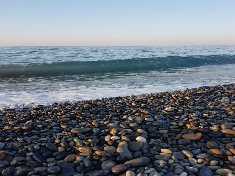
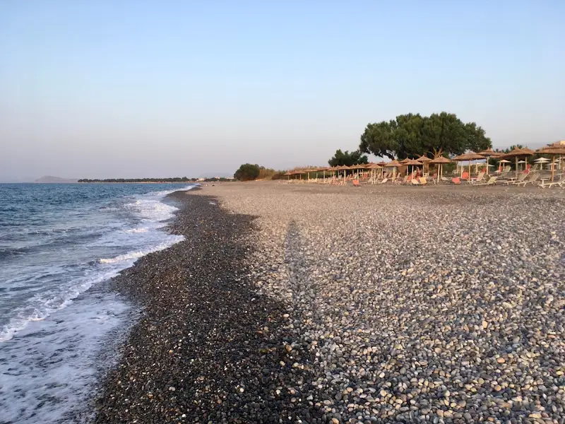
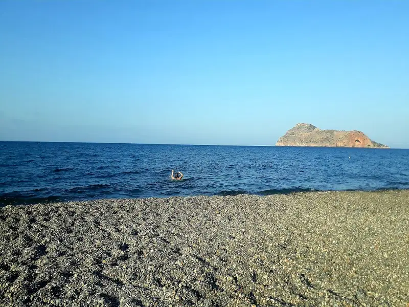
Tavronitis beach, found 20km west of Chania, is situated on the western side of the historic Maleme airport, one kilometer north of the village of Tavronitis and is named after the Tavronitis river that flows nearby. This long, pebbly beach is just a segment of the expansive coastline that stretches from Kolimbari to Stalos, making it an ideal swimming spot, especially during calm weather as the northern coast of Crete often experiences waves. There are ample amenities nearby, including hotels, tavernas, restaurants, and a variety of tourist facilities.
The beach holds historical significance as it is near Maleme airport, the site of a significant resistance against the German forces in 1941, known as the Battle of Crete. This marked the first time in World War II where the local population fiercely resisted the German army, causing them heavy losses. Despite this, the Germans managed to gain control of a small area east of the Tavronitis river and the airport. Today, visitors can pay their respects at the German cemetery and other monuments dedicated to this historic event.
Situated 13 km west of Chania city, nestled between Maleme and Platanias, lies the quaint coastal village of Gerani. The village is nestled in a lush valley filled with olive and citrus groves, which were once the primary source of income for the villagers. Today, tourism drives the economy of Gerani.
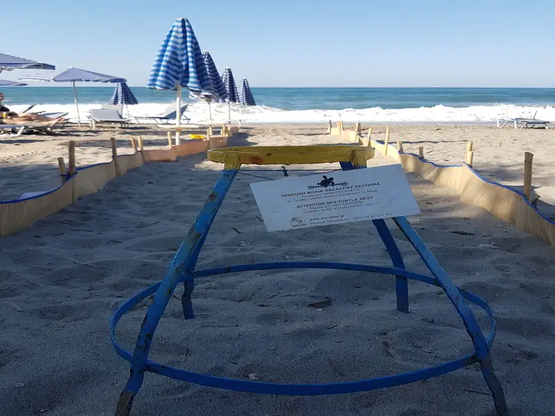
Stretching across 2.5 km, Gerani’s beach is known for its beautiful sand and crystal-clear water. The beach is equipped with numerous amenities such as umbrellas, showers, beach bars, water sports facilities, and lifeguards, making it an ideal destination for family vacations. Several tamarisk trees provide shade, and for those preferring less crowded spots, there are unorganized parts of the coast. However, visitors must tread carefully, as the sandy beach serves as a nesting ground for the Caretta caretta turtles from May to September.
The village of Gerani got its name from a simple water-pumping method used in the village. The method involved the use of a wooden fork and a horizontal piece of wood, with a rope tied at one end to a bucket and a counterweight at the other end.
Historically, Gerani is thought to be the site of ancient Kydonia, according to some scientists. It is also believed that the village once housed a temple dedicated to Goddess Vritomartis, the Cretan counterpart of Goddess Artemis.
The village witnessed a battle against the Turks in 1867, where the Cretan rebels emerged victorious. However, fearing retaliation, the locals asked the rebels to leave, leading to the Turks returning and causing havoc. Gerani also holds significance as the place where famed Cretan novelist John Kondilakis started his teaching career in 1885-1886. The school where he taught, located in Pano Gerani, still stands today.
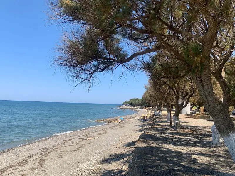
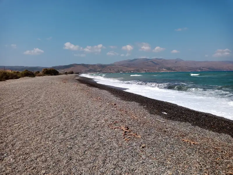
Rapaniana Beach is a calm, mixed sand-and-pebble beach on the northwest coast of Chania, 20 km west of Chania town and 4 km east of Kolymvari. Rapaniana Beach forms part of one long, open shoreline that runs from the Rodopos Peninsula toward Chania, so it stays uncrowded and feels local even in summer. The bay suits travelers who want a wide, unhurried stretch of coast with everyday village services close at hand, rather than a busy organized resort beach.
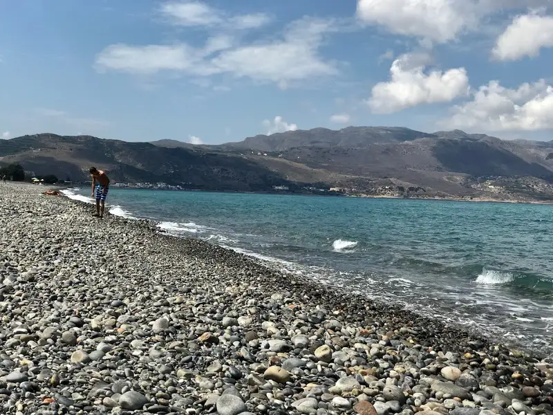
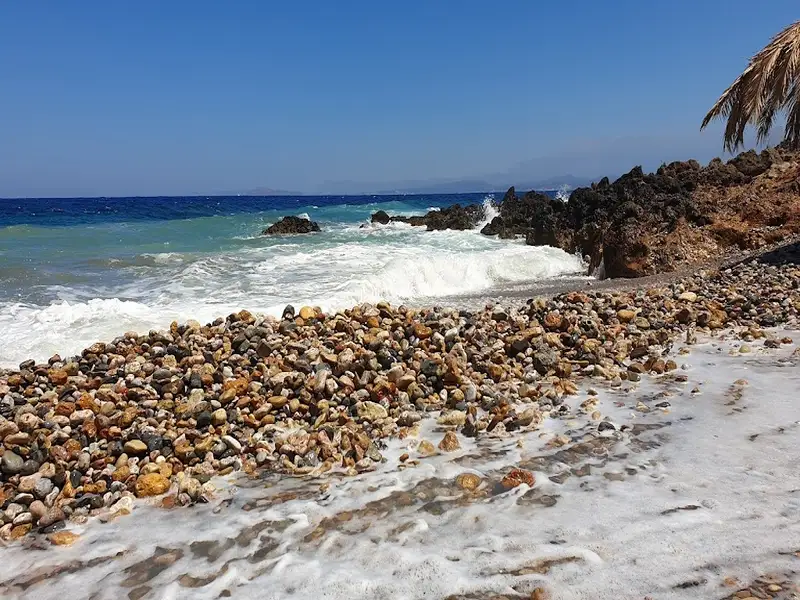
Rapaniana Beach mixes sandy patches with pebbly ground, and the seabed is made up of fine pebbles and pebbles. The shore is part of a much longer coastal stretch that reaches from the Rodopos Peninsula all the way to Chania, taking in the beaches beside the villages of Skoutelonas, Minothiana, and Rapaniana. Because the coast here is open and continuous, you can usually find your own space along the sand and shingle. The beach is kept notably clean, which adds to its relaxed, low-key character.
This part of the coast also carries real ecological value. Rapaniana and its neighboring beaches serve as nesting grounds for the loggerhead sea turtle (Caretta caretta), a protected species that lays its eggs on quiet northern-Crete sands. Treat any marked nests with care and keep the beach free of litter so the turtles keep returning.
Reach Rapaniana Beach by driving the north-coast road west from Chania, roughly 20 km out of town, then continuing 4 km east past Kolymvari. The beach sits along the villages of Skoutelonas, Minothiana, and Rapaniana, so any of these makes a natural landmark as you approach. You can pin the exact spot and follow live directions using Google Maps or Waze.
A car gives you the most freedom here, since the beach spreads across several village access points and the wider northwest coast rewards day-tripping. Kolymvari, the Rodopos Peninsula, and Chania town all sit within an easy drive once you have your own wheels. Travelers who want that flexibility often sort out their car rental in Crete before arriving.
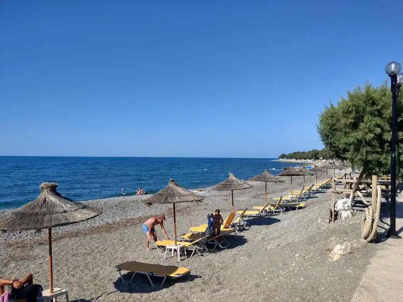
Rapaniana Beach offers the practical basics for a comfortable day by the water, including umbrellas, showers, and a lifeguard tower. The surrounding villages fill in everything else you might need during a stay on this coast.
The village provides a full set of everyday services:
Because these services sit right around the beach, Rapaniana works well as a base rather than only a passing stop.
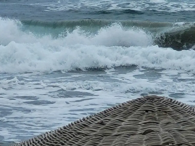
Swim at Rapaniana Beach on calm days, when the water is at its clearest and most inviting. This is a north-facing shore, and the northern coastline sees frequent waves, so the sea can turn choppy when the wind picks up. The mixed sandy and pebbly bottom means water shoes are handy for a comfortable entry over the fine pebbles.
Check the forecast before you go and plan your swim around settled, wind-free weather. On a still day the long, clean shoreline gives you plenty of room to wade in and cool off.
Rapaniana Beach suits travelers who prefer a quiet, natural stretch of coast over a crowded resort beach. The open shoreline, everyday village services, and relaxed pace make it a good fit for several types of visitors.
Plan your visit around calm weather to get the best of the swimming and the views. A few practical pointers make the day smoother:
Rapaniana Beach lies on the northwest coast of Chania, 20 km west of Chania town and 4 km east of Kolymvari. It forms part of a long coastline running from the Rodopos Peninsula toward Chania.
Rapaniana Beach is a mix of sandy and pebbly areas, with a seabed of fine pebbles and pebbles. Water shoes make entry over the shingle more comfortable.
Rapaniana Beach has umbrellas, showers, and a lifeguard tower. The surrounding villages add mini markets, restaurants, accommodation, a health centre, pharmacy, dentist, post office, bank, telephone services, and car rental.
Rapaniana Beach is best for swimming on calm days, when the water is clear and settled. The northern coastline sees frequent waves, so choppy conditions are common when the wind rises.
Rapaniana Beach and its neighboring beaches serve as nesting grounds for the protected loggerhead sea turtle. Keep the sand clean and avoid disturbing any marked nests.
Platanias, a coastal hamlet situated 11km west of the city of Chania, has seen a significant surge in tourism in recent years, transforming it from a quaint village into a bustling suburb of Chania. Its close proximity to the city, coupled with its stunning beach and frequent bus services from Chania, have made it the most favoured beach near the city. The original village, nestled on a hillside, offers a breathtaking view of the sea and the islet of Thodorou.
The beach in Platanias is an attractive stretch of sandy shore dotted with hotels of varying class and standard tourist facilities. Beachgoers can avail of all the amenities typical of well-organized beaches, including beach bars, umbrellas, showers, snack bars, lifeguards, and water sports. On the eastern side of the local harbour, near Agia Marina, swimmers can enjoy several small, man-made coves. In the summer, the area’s nightclubs come alive, hosting thousands of both Greek and foreign party-goers who dance until daybreak.
Kolimbari, a quaint seaside town housing over 5000 residents, is situated 24km west of Chania, on the eastern edge of the Rodopos Peninsula. This picturesque town is quite developed, primarily due to its stunning, lengthy beach that extends from the village to Tavronitis in the east. The sandy beach at Kolimbari is occasionally dotted with small pebbles, and while the waters are shallow, they tend to be wavy, a typical characteristic of northern Crete’s open beaches. The area adjacent to the beach offers ample choices for accommodation, dining, and entertainment.
For those seeking a more serene beach experience, the tiny coves near the Gonia Monastery, just 1km northwest of Kolimbari, are worth visiting. Boats frequently depart from the Kolimbari port to the Rodopos Cape, renowned for its majestic cliffs and tranquil beaches, with Menzies being the most popular.
The historic Gonia Monastery, reminiscent of a fortress, is located 1km northwest of the town. It’s dedicated to the Virgin Mary Odigitria, also known as the Guide, and houses a notable collection of Byzantine icons. The Orthodox Academy of Crete, a venue for nationwide and global conferences on theological and general topics, is also located near Gonia.
Agia Marina, a charming coastal town, lies just 9km west of the city of Chania. It’s one of Chania’s most sought-after holiday spots, boasting numerous hotels and a full range of tourist amenities. The town’s name is derived from the local Agia Marina church, which holds its festival on July 17th.
Agia Marina is renowned for its stunning chain of sandy beaches. To the west, near the Platania port, there are several small, man-made piers where swimming is possible. To the east, the beach extends to Stalos, offering a long stretch of sand. A variety of services are available along the seashore, typical of a well-appointed beach.
Around 1.5km south of the town, you’ll find the Nerospilia cave, home to spectacular stalagmites and stalactites. Unfortunately, public access is not permitted due to its location on private property. This cave was a place of worship during the Middle Minoan era. While in Agia Marina, don’t miss a visit to the local folklore museum.
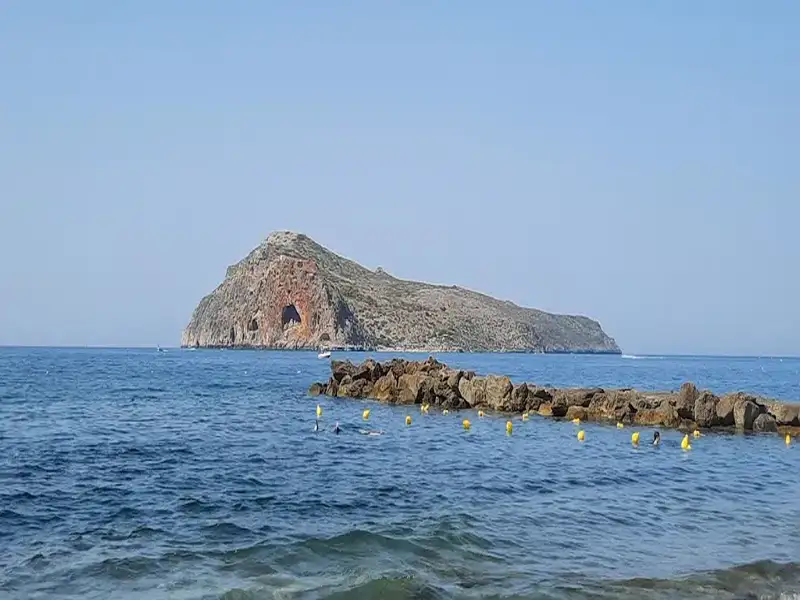
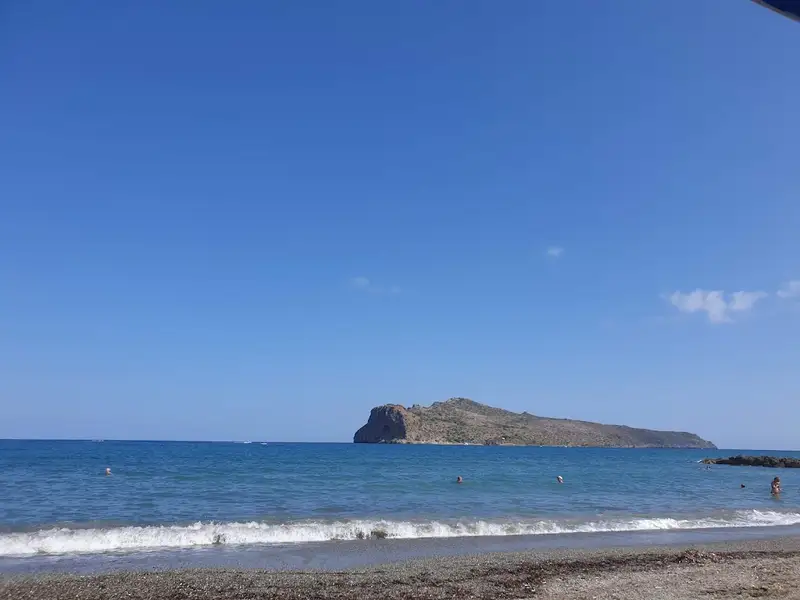
Facing the beach of Agia Marina is the protected island of Thodorou, designated as a nature reserve. It’s a sanctuary for the endangered Cretan wild goats, relocated here from the White Mountains, near Samaria Gorge. While approaching the island is generally forbidden, limited boat tours are sometimes available with special permission from the Forest Service. The island’s small sandy beach in the tiny cove, which doubles as the harbour, offers wonderful views of Agia Marina.
Afrata is a quaint village nestled 3.5km north of Kolymbari and 28km west of Chania, situated at Cape Rodopos. Just 1km east of the village, within a serene bay, you’ll find the charming beach of Afrata.
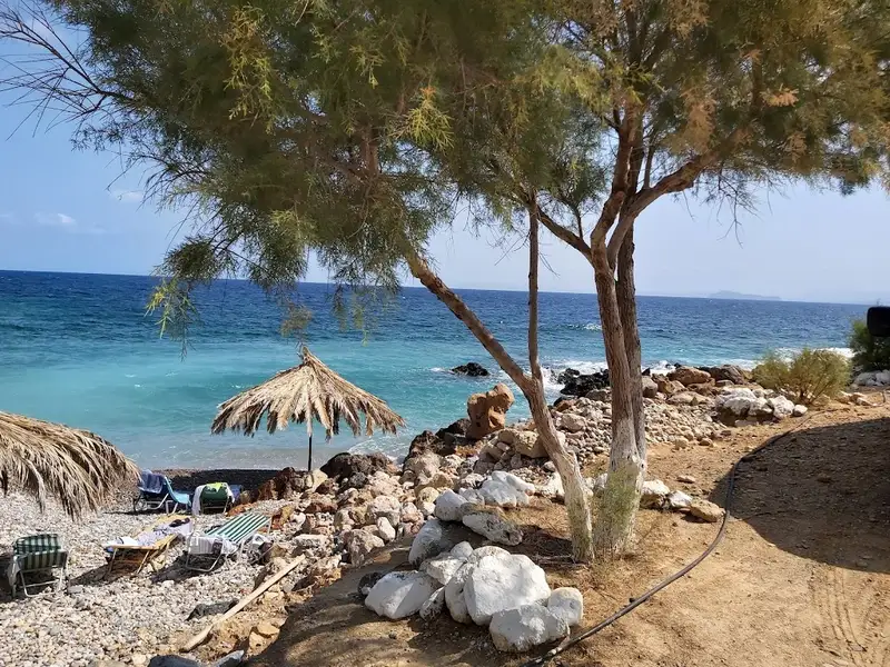
The beach, with its pebbly terrain and appealing water hues, is a popular spot among locals, as it remains untouched by the area’s winds. The raw beauty of Rodopos Cape, coupled with the tranquil sea and the picturesque village, makes Afrata an ideal destination for a peaceful getaway. The beach features a small canteen for food and water purchases, and shade is provided by umbrellas and tamarisk trees.
The road to Afrata from Kolimbari is paved with asphalt, but caution is advised due to its narrowness. After passing through the village, the road leads to the beach via a stunning gorge. Along the way, just below Odigitria Gonia monastery, you’ll encounter the quiet, rocky coves of Odigitria.
The route from Kolymvari to Afrata also takes you past the historic Panagia Odigitria Gonia Monastery and the Orthodox Academy. The Monastery is a significant part of the island’s history. The Turkish occupation of Crete began here in 1645, and in 1897, it was the landing point of the Greek army, triggering the Greek-Turkish war. Located near Kolymbari port, the Monastery comprises the main temple, an inner courtyard, monks’ cells, and walls that served to protect against pirates, Turks, and other invaders. On the northeast side, within the walls, you can still see the damage caused by the Turkish gunfire against the Monastery.
Additionally, north of Afrata is the Ellinospilios cave, an archaeological treasure trove. However, the path to the cave, due to the region’s rocky landscape, is rather challenging and recommended for experienced walkers only. Specialized knowledge and equipment are necessary for cave entry. The cave’s entrance is positioned just above sea level and the path continues northeast.
Situated 7km west of Chania, nestled between Kalamaki and Agia Marina, lies Stalos. This well-developed location magnetizes a significant amount of tourists each summer. The coastal region of Stalos, known as Kato Stalos, boasts a stunning sandy beach that is not only well-equipped but also provides all necessary touristic amenities. This makes it a yearly recipient of the coveted blue flag award.
Situated 150m to the south is Pano Stalos, a charming traditional village that is enveloped by lush green hills and striking rock formations.
Stalos serves as a perfect holiday destination due to its proximity to the city of Chania and its ability to cater to all the needs of its visitors. There are also frequent bus services to the city of Chania.
The name ‘Stalos’ is steeped in Cretan mythology, believed to be derived from Talos, a bronze giant who guarded the island from enemies by circling it thrice daily. Legend has it that Talos had his base in Stalos. However, it is more likely that the name ‘Stalos’, originates from the Greek verb stalizo, meaning to stop for rest. This is where local shepherds would halt with their flocks for rest, hence the English word ‘stall’ shares the same Greek roots.
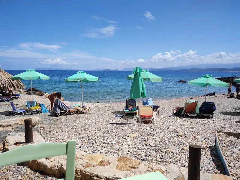
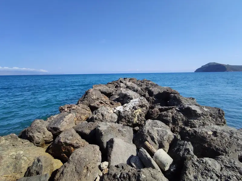
Ravdoucha is a quiet pebble beach on the western side of the Rodopos peninsula, about 21 km west of Chania and next to Ravdoucha village. You reach it by a paved road off the Chania to Kissamos highway. The water is clear and blue but often wavy from the western winds, and the rocky coves make it one of the best snorkelling spots in the area. There are fish tavernas and basic facilities nearby, but no organised sunbeds or umbrellas, so shade comes from the trees and the rocks.
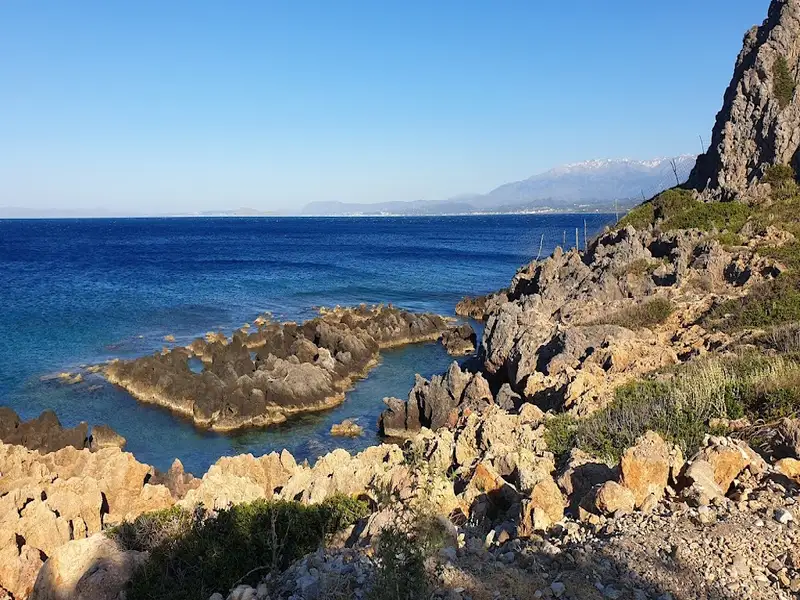
Ravdoucha sits on the western coast of the Rodopos peninsula, roughly 21 km west of Chania and close to the village of the same name. The scenery is the main draw: towering mountains, rugged rocks and olive groves frame a coast broken into small bays, each with its own rock formations and pebbly shore. The sea shows a clear blue, though it is regularly stirred by the western winds, so the surface is often wavy rather than glassy. This is a quiet, undeveloped stretch rather than an organised resort beach, and it usually stays calm even in summer.
You reach Ravdoucha by car on a well-maintained paved road that turns off the Chania to Kissamos highway. The village is built on a height with a clear overlook of the sea, so the final approach drops from the village down toward the water, and it pays to take the bends slowly and watch for oncoming cars on the narrower stretches. On the way down you pass the cave-like chapels of St Marina and St Onoufrios, both worth a short stop and a photo. There is a parking area near the beach. If you would rather not tackle the coastal roads in a standard car, it is worth arranging a suitable vehicle in advance through a local car hire service.
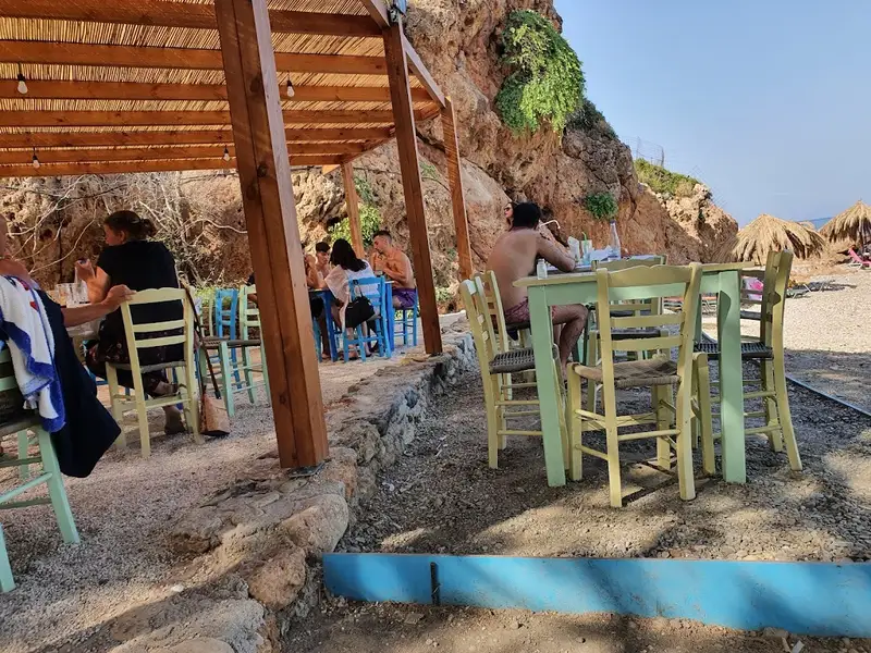
Facilities here are basic and low-key. Ravdoucha has several well-known fish tavernas nearby and the essentials for a day by the sea, including food and water and showers, but there are no rows of sunbeds or umbrellas on the sand. For shade you rely on the trees and on the rock overhangs along the coves. Accommodation sits within walking distance of the shore, so an overnight stay is easy to arrange, and you can see what is open near the beach on the local accomodation listings.
The water is clear and the seabed is pebbles with rocks in places, which gives good visibility and, on calm days, comfortable swimming. Because the western winds funnel along this coast, the surface is often wavy and the currents can be strong, so swim close to shore when the sea is up and keep a close eye on children. The rocky bays and clear water make Ravdoucha one of the better local spots for snorkelling and spearfishing. There are no water sports operators or rentals on site, so bring your own mask and fins.
The northernmost beach in the area is called Neratzia, after a small tavern of the same name, and it is a quieter, sandy cove rather than pebbles. A small pier on one side serves as a modest harbour for local boats. It is a good option if you prefer sand underfoot or a more sheltered corner on a windy day.
Ravdoucha works best for travellers who want a quiet swim, a snorkel and a fish lunch away from the crowds, rather than sunbed service and beach bars. It suits families as long as an adult watches the children near the water, given the currents. Walkers and beach-hunters are well placed here too, with several remote coves within reach. The cove of Skotini lies south along a steep gorge trail, and the same route links on to Agios Vasilios.
East of Ravdoucha the coast opens into more hidden coves. The long sandy Nopigia beach has shallow water and village facilities, while the wild rock formations of Choni reward anyone happy to walk a little for clear blue-green water. Ravdoucha also has a well-known sea cave and the ruins of an early 20th-century iron ore mine offshore, and both feature on the guided Kissamos kayak tour. For the full picture of this coastline, browse all the Crete beaches in one place.
Ravdoucha is on the western coast of Crete, about 21 km west of Chania, on the western side of the Rodopos peninsula next to Ravdoucha village.
Yes, it is suitable for swimming, but the western winds can make the sea wavy and the currents strong, so take care and stay near the shore when the sea is up.
The main beach is pebbles with rocks in places, while the northern Neratzia cove is sandy.
There are fish tavernas, food and water and showers nearby, plus accommodation within walking distance, but no organised sunbeds, umbrellas or water sports.
Yes, there is a parking area near the beach.
Yes, families visit Ravdoucha, but keep a close eye on children in the water because of the currents.
Drive there on a paved road that turns off the Chania to Kissamos highway. The beach sits below the village, which is built on a height overlooking the sea.
No results available
No results available
© All rights reserved. Crete Locals