Explore Vibrant beaches on Crete Island

Find a Vibrant beach near you

  • Katholiko Bay, Akrotiri
  • Rocks in places
  • Normal
  • Deep blue, Turquoise

Katholiko Bay, nestled in northwest Crete, is just a 30-minute drive from Chania. This captivating destination promises an adventurous hike that showcases numerous caves, a historic abandoned monastery, a stunning Avlaki gorge, and finally culminates at the picturesque Katholiko Bay. This beach once served as a port for the Katholiko Monastery, where monks used to dock and mend their boats. Its strategic location also made it a prime target for pirate invasions, leading to the monastery’s abandonment in the 16th century.

To embark on this adventure, start at the Gouverneto Monastery. A 30-minute trek will lead you to the deserted Katholiko Monastery. Venture below the bridge, traverse the Avlaki gorge, and in another 20 minutes, the mesmerizing beach awaits. While it’s a rocky haven devoid of sand, the crystalline waters more than compensate. With towering cliffs enclosing the beach, it’s an ideal spot for cliff-diving enthusiasts. Note that the area lacks shade, but there’s a quaint cave on the mountainside for some respite.

  • Kimzou Sea Lounge Beach
  • Fine Pebbles, White Sand
  • Normal
  • Blue, Deep blue

The charming Kimzu Sea Lounge isn’t just a fantastic bar, but also hosts an enchanting beach with shimmering white pebbles and sand, lapped by crystal-clear waters. The beach is located just 1 km away from Lake Voulismeni in Agios Nikolaos.

The beach offers full amenities, including an ample supply of sunbeds and umbrellas. Unique to this locale, visitors get to recline on lush, cool grass rather than hot sand, a delightful departure from typical beach experiences.

Despite its small size, the beach doesn’t usually feel crowded, offering ample space for all visitors. The water is shallow and inviting, making it particularly popular with families with young children. Strategically placed anti-wave blocks, about 120 meters off the coast, ensure the beach remains free of large waves, adding to its serene atmosphere.

Adjacent to the bar, a park provides additional recreation options, featuring a large children’s playground and a basketball court. It’s an idyllic spot for spending an entire day, from sipping on a rich Greek coffee in the morning, enjoying a delicious lunch and dinner, to toasting the day away with craft cocktails in the evening. The Kimzu Sea Lounge truly offers a comprehensive beach-bar experience.

  • Georgioupolis beaches
  • Sand
  • Shallow
  • Blue

Georgioupolis, a small coastal town located 38km east of Chania and 21km west of Rethymnon, is a seaside resort nestled in a verdant valley crisscrossed by rivers and springs. Situated on the western edge of a sprawling 10km beach, the town’s beach spans 2km to the east, beginning at the Almiros river and terminating at Kavros beach, a natural continuation of the former. The beach in Georgioupolis is sandy, dotted with dunes, and has shallow waters.

The beach is well-maintained and child-friendly, with lifeguards on duty. Caution is advised during windy conditions due to sea currents. Amenities such as umbrellas, showers, and food and drink stalls are available for beachgoers. Approximately 700m east of the port, the Perastikos river bifurcates the beach, which then widens as it continues eastward. On the opposite end, west of Georgioupolis’s port and near the Almyros river’s exit, lies the picturesque Kalivaki beach.

  • Red beach
  • Sand
  • Normal
  • Blue, Green

The Kokkini Ammos, or Red Beach, can be found 68km southwest of Heraklion and a short 800m from the popular resort of Matala. You can reach this hidden gem by following a clearly marked trail from Matala, which takes you over Kastri hill. While the trail includes some initial rock climbing and a steep descent at the end, it’s quite feasible. After a 15-25 minute walk from Matala, passing through a shepherd’s gate along the way, the breathtaking Red Beach comes into view. It’s an ideal spot for enjoying panoramic views and beautiful sunsets. Alternatively, you can also reach the beach by boat from Matala Harbour for a small fee of around 5 euros.

The beach is most noted for its red sand, a result of the area’s unique geology, which forms a stunning contrast against the bright blue-green sea. However, it’s important to note that it’s not shielded from the typical western winds in the region. The beach has minimal facilities, with a simple stone-wall coffee shop that opens occasionally offering food and drinks, and some umbrellas. It’s recommended to bring your own mats and umbrellas as the only natural shade is provided by a few tamarisk trees near the canteen.

In the 1960s and 70s, Red Beach was a popular spot among hippies, and its legacy continues with enthusiasts still visiting the beach regularly. Especially the northern part of the beach has gained a reputation as a nudist-friendly area and has gained international recognition for this. The beach and its surrounding area are protected by the Natura 2000 program due to its ecological importance.

The northern end of the beach features a long rocky limestone formation, similar to the limestone found in Matala. These rocks are decorated with carvings of Minoan and Egyptian sea figures, created by Gerard, a Belgian fan of Matala. These carvings have become a key part of the beach’s appeal. Between Matala and the Red Beach, there’s a large rock known as Theosini that offers stunning views of Messara Bay. This rock has been eroded by the sea, creating a marine cave known as Kouroupi, which can only be accessed by boat. The cave is a haven for endangered Mediterranean seals and various species of wild pigeons.

  • Plakias beach
  • Sand
  • Shallow
  • Blue

Situated 36km to the south of Rethymno city, Plakias is a charming tourist haven nestled at the mouth of a fertile valley just beyond the Kouroupa range, where the Kotsifos river meets the sea. It owes much of its popularity to the impressive Gialia beach, stretching for 1.3km from the edge of the town to the east, ending at Cape Mouri. This fully-equipped beach, characterized by its crystal-clear, cool waters, is an ideal location for leisurely walks or cycling along the adjacent road. It features numerous hotels and restaurants, as well as beach essentials such as umbrellas, water sports facilities, beach volley courts, snack bars, changing rooms, and showers.

Paligremnos, the eastern portion of the beach, boasts fine sandy shores and is well-appointed with various amenities close to local accommodation and eateries. Noteworthy are the tall, vertical cliffs nearby that prove to be a magnet for climbing enthusiasts. This spot, also known as “Gonates” (knees), is steeped in local lore; it’s said that the epic hero Digenis knelt here to drink from a local spring. An intriguing phenomenon takes place here every full moon from September to January, as the moon’s reflection on the sheer cliffs draws large squids to the beach, which locals catch with long sticks. A few meters south of Paligremnos, you can also discover tunnels once used for transporting coal to waiting cargo ships.

  • Stavros beach
  • Sand
  • Shallow
  • Blue, Green

Stavros beach is situated 17km northeast of Chania on the farthest point of Cape Akrotiri, is known for its distinct, camel-shaped mountain, Vardies. This towering landmark gained recognition in the film “Zorba the Greek” as the backdrop for Anthony Quinn’s iconic Sirtaki Dance in 1964. Once a quaint fishing hamlet, Stavros has since transformed into a bustling tourist hub, complete with numerous hotels and top-tier tourist facilities. The area’s popularity is further boosted by its two stunning beaches.

The primary beach lies to the village’s east, nestled at the base of the Vardies mountain and adjacent to the scenic harbour. It forms a protected, semi-circular lagoon with pristine white sands and shallow, turquoise waters. The contrast between the rugged mountain and the tranquil beach provides a unique and enchanting swimming experience. As anticipated, the beach is well-equipped with all the necessary amenities.

200 meters northwest of the main beach, you’ll find Stavros’ secondary beach, a mix of sandy stretches and rocky areas. It’s less developed and cleaner than its counterpart, but its exposure to the elements can lead to wavy seas. The peninsula separating the two beaches holds historical significance, housing remnants of an ancient quarry that provided limestone for Chania’s Venetian-era Walls (13th- 17th century).

Beyond beaches, Stavros offers an array of other services including accommodation, eateries, mini markets, shops, cafes, and regular bus connections to Chania city.

  • Gramvousa Islet
  • Rocks in places, White Sand
  • Normal
  • Turquoise

The island of Imeri Gramvousa is located 20km northwest of Kissamos, opposite the imposing Cape of Gramvousa and 2 miles northwest of the famous lagoon of Balos.

Its historical significance is captured by the majestic Venetian fortress that remains standing 137m above the beach. This fortress is not just a relic of the past but also an icon of pirate legends, which suggests a buried treasure somewhere on the island. An old shipwreck, long deserted near the beach, has become an integral element of Gramvousa’s unique panorama.

Two sizable bays on the island’s southern flank cradle the iconic shipwreck between them. The western bay, situated below the castle, is a popular destination for hundreds of daily visitors who arrive via excursion boats from Kissamos, a journey that takes an hour. These boats make a stop at Gramvousa before heading onward to the stunning Balos Beach.

Visitors have the chance to explore the castle and shipwreck, as well as indulge in a refreshing swim in the crystal-clear waters of the western cove, adjacent to the Holy Apostles Church. The beach, known for its mesmerising turquoise hue, features a mix of white sand and occasional rocky spots. Tamarisk trees near the beach provide a natural shade, while the area’s seabed is a snorkeler’s delight. Excursion boats provide food and water from onboard bars. Due to the area’s protection under the Natura 2000 program, no additional facilities are available, and overnight stays are prohibited.

  • Agiofarago beach
  • Fine Pebbles
  • Deep
  • Deep blue

Agiofarago Beach, is a picturesque beach situated about 80km south of Heraklion city. To get there, you can opt for a 25-50 minute scenic trek through the Agiofarago Gorge or a boat ride from Matala, Agia Galini, Kokkinos Pirgos, or Kali Limenes. If you decide to trek through the gorge, you’ll enjoy a beautiful journey surrounded by towering walls. On your way, you will pass large caves inhabited by hermits from the nearby Odigitria Monastery and the charming St. Anthony’s chapel with its small brackish water well.

The end of the gorge route will bring you to the stunning Agiofarago Beach, where clear blue waters and fine pebbles are framed by towering cliffs. A unique rock formation to the west creates an enchanting swimming spot. However, it’s worth noting that due to the area’s religious significance in Crete, naturism is discouraged.

For those seeking an adventure in the afternoon, sturdy footwear is recommended to climb the eastern cliffs for an awe-inspiring view. A short walk to the southeast will reveal Vourvoulitis, a hidden saltwater lake surrounded by steep cliffs, linked to the sea via an underwater passage. Be careful, as the descent to the lake can be perilous.

To reach Agiofarago Beach from Heraklion, drive towards Sivas village and then to the Odigitria Monastery. From Odigitria, follow the dirt road leading to St. Anthony’s Church. After about 4km, turn right at the Agiofarago sign and continue until you reach a small plateau that serves as a parking area. However, avoid parking under trees to prevent goats from damaging your car while they’re trying to eat the tree leaves. A 30-minute walk through the gorge will then lead you to the stunning beach. Along the way, you’ll pass St. Anthony’s small church and Goumenospilios cave. For those arriving by boat, the rocky islet of Papadoplaka, located opposite Agiofarago and known for its small sea salt ponds harvested by locals, is worth a visit.

  • Vai beach
  • Fine Pebbles, Sand
  • Shallow
  • Blue, Green

Vai beach is located 94km east of Agios Nikolaos and 24km east of Sitia. It is the most famous beach in east Crete, as its main feature is the large palm grove with the Cretan Date Palm (Phoenix theophrasti). Its name derives from the word vai, meaning palm in Greek. The palm grove is the largest in Europe with approximately 5000 trees, while there are smaller colonies in other parts of Crete and in Southwest Turkey. According to the legend, the trees have grown from discarded date stones thrown into the sea by Saracen pirates. However, the palm grove is more than 2000 years old and the pirates are more recent. Thus this hypothesis has changed and the Saracens have been replaced with Phoenicians, that governed the Mediterranean Sea 20 centuries ago.

The heavenly palm grove is planted in a wide valley watered by the local river for centuries. An exotic sandy beach with whitish sand is formed near the shore, backed by the Edenic palm forest, reminding of African and Caribbean seascapes. The entire region is owned by the powerful Toplou Monastery, which is the largest landowner in eastern Crete. The 15th-century monastery is built like a fortress and hosts a great collection of Byzantine icons.

Vai was totally unknown until the early 1970s, when a popular commercial for the Bounty chocolate with coconut was filmed here, using the magical background of palm trees. In the advert, coconuts were falling from trees, however, Vai palms produce dates. Consequently, coconuts had to be falsely hung to create the right impression. The ad made this unknown earthly paradise renowned throughout the world. Thus, hundreds of hippies started to stay here on their holidays. In the 1980s, when hippies faded out, Vai was invaded by backpackers and rapidly degenerated into a rubbish-strewn campground. The palm grove was consequently fenced off and proclaimed a conservation area, being open to the public only during daylight.

The beach has whitish sand and flat turquoise waters. In a few places, there are slippery smooth rocks, while on the opposite there are small islets that beautify the landscape. The beach is slightly organized (whatever the protection scheme allows) with umbrellas, showers, water sports and a canteen. The closest rooms to let are located outside the protected area (15′-25 ‘walk). If you want to stay isolated, there is a lovely sandy beach 5 minutes north of Vai, while another option is the idyllic Psili Ammos beach in the south.

If you come by car then you should leave it in the parking area. There are also buses running from Sitia and all travel agencies in Crete organize daily tours. The only drawback of Vai is that from the first moment you think that someone wants to dip into your pocket. Indeed, prices for parking, umbrellas and the canteen are too high. However, Vai is one of the most special beaches in Crete that surely deserve a visit.

  • Falassarna beach
  • Rocks in places, White Sand
  • Normal
  • Turquoise

The stunning Falassarna beach is situated 59km to the west of Chania city and about 17km to the west of Kissamos, at the western end of the Gramvousa peninsula. The northern end of this beach features the remains of the ancient Greco-Roman city of Phalassarna. Widely acclaimed, Falassarna is home to some of the most celebrated beaches in Greece, having been awarded the best beach in Crete and recognized as one of the top 10 European beaches multiple times. The area spans a large expanse and is made up of five consecutive beaches, with the two central beaches being the most popular.

The whitish sand on Falassarna gives the water a tropical hue. Visitors may find themselves entranced by the beach and its turquoise waters, provided the west wind is not blowing (which is rare in west Crete). The main beach, Pachia Ammos, is a 1km long and 150m wide exotic beach. Despite being the most popular, due to its size, it never seems too crowded. There are a few snack bars, cafes, umbrellas, and services for water sports and beach volleyball courts.

To the north of the main beach is another 800m long beach that is divided into smaller beaches by a sand dune and some rocks. This beach is quieter than Pachia Ammos and offers no facilities. A small cove facing south near the archaeological site is also an option for those who prefer isolation, although it has a rocky seabed. A long sandy beach at Livadi, located to the south of Pachia Ammos, is great for snorkelling and is surrounded by a wetland area that attracts many birds during winter. South of this beach, near the small harbour of Limeniskos settlement, there is a small pebbly beach, which is ideal for those who prefer not to stay remote.

Falassarna is situated in a protected nature reserve, and the sunset considered the best in Crete, is a romantic sight to behold. However, one drawback is that the beach is typically wavy due to its westward orientation, although this is desirable for windsurfers. The area’s greenhouses are also rumoured to pollute the sea with fertilizers and waste, which is unfortunate if true. Visitors who lack transportation can take the bus from Chania or Kissamos.

  • Karteros beach
  • Sand
  • Shallow
  • Blue

The Karteros Bay, situated at the exit of the synonymous Karteros Gorge, lies 7km east of Heraklion and stretches 3.5km to the east. It pays homage to the Byzantine General, Krateros, who in 824AC attempted to liberate Crete from the Saracens by landing his ships on the bay’s beach, but unfortunately, he was defeated. The bay encompasses two villages, Karteros and Amnissos, which have now merged due to the area’s rapid evolution. The area’s development can be attributed to its proximity to Heraklion and the presence of an exquisite beachfront featuring fine golden sand.

You’ll find numerous hotels, eateries, and beach bars in close proximity to the bay. Karteros Bay is exposed to the northern winds, and as a result, the water tends to be wavy. The water is shallow with almost no rocks, except for a few areas. The least crowded part of the beach is situated next to the “Nikos Kazantzakis” airport, 7km west of Heraklion, known as Florida. This part got its name from an old tavern that no longer exists and is the most serene of all the beaches. Compared to the easternmost beaches, Florida has fewer umbrellas and facilities. The river from the Karteros Gorge empties into Florida, creating a small wetland on the beach, which dries up during the summer. It’s certainly worth a visit, especially in the spring.

While in Florida, you should stop by the old Church of St. John and St. Nikon Metanoite, constructed within a large cave. Moreover, don’t be startled if you spot horses on the beach as it’s home to the Heraklion Riding Club.

  • Agia Fotia beach
  • Fine Pebbles
  • Normal
  • Deep blue

The beach of Agia Fotia is situated 45km southeast of Agios Nikolaos and 12km east from Ierapetra. It’s a small bay nestling at the outlet of a stream flowing down from the Thripti mountain. The name of the settlement is derived from the local Church of Agia Fotini, also known as Agia Fotia. The stream is cloaked by enormous plane trees, while the bay is encircled by conglomerate cliffs, adding to the enchanting landscape.

This beach is well-known and a favourite among the inhabitants of the city of Ierapetra. Its shores are covered in coarse greyish sand, while the water is crystal clear and tranquil. The beach is well-equipped with amenities including beach bars, taverns, and hotels. There are tamarisk trees on the beach where one can find shade. Additionally, beach volleyball tournaments are hosted annually at the local court, a recent tradition that has added to its popularity.

  • Myrtos beach
  • Fine Pebbles, Sand
  • Normal
  • Blue

Myrtos, a quaint seaside village, lies 13km west of Ierapetra where the River Kryos meanders through the stunning Sarakina Gorge and into a valley abundant with greenhouses and citrus groves. Despite recent mild development, Myrtos has retained its traditional charm. Its appealing beaches, characterized by coarse grey sand that doesn’t stick to the skin, have amassed a global following. The village offers small hotels, bars, cafes, restaurants, supermarkets, a gas station, and a clinic, in addition to a nearby pharmacy and accessible bus route to Ierapetra.

The extensive beach, considered among the finest in southern Crete, is ideal for serene family vacations as it’s sheltered from strong winds. According to locals, Myrtos is where the wind never rages. The beach is well-equipped with lifeguards, umbrellas, showers, changing rooms, cafes, restaurants, water sports, and beach volleyball. As you head west, the beach widens and offers even more tranquility.

Take a leisurely stroll around Myrtos’ local harbor or wander through its traditional narrow streets filled with lush gardens and homes that echo Aegean landscapes. The surrounding nature and gorges are also worth exploring. Notably, you can visit two Minoan settlements, Fournou Korifi (near Nea Myrtos) and Pirgos (on the east shores of the River Kryos), which were uncovered during excavations. The Archaeological and Folk Art Museum of Myrtos, situated next to the old church of St. Anthony, is a point of interest. Lastly, a monument in the village commemorates the 18 victims who were executed by the Nazis in 1943 as retribution for the deaths of two Germans in the neighboring village of Symi.

  • Sitia beach
  • Sand
  • Shallow
  • Blue

Situated 64km east of Agios Nikolaos, Sitia is the furthest city to the east on the island of Crete. In the broader region of the Sitia province, there are numerous petite beaches that offer a delightful combination of sun and sea. For those who enjoy staying near the urban area, the city’s long beach is an attractive option. Situated to the east of the city, Sitia beach stretches from the port all the way to the Petras area. The beach, largely composed of sand with some pebbles scattered here and there, has shallow waters. It is well-equipped with amenities such as umbrellas, showers, lifeguards, beach/water sports, and beach bars. However, quiet spots can be found along its extensive shoreline, particularly towards the east. The east side also accommodates campervans and is dotted with a few trees.

Beyond the Petras area to the east, you can explore the ruins of an ancient city at Trypitos Cape, alleged to be Itia, the hometown of the Wise Myson. Moreover, archaeologists have discovered remnants from various phases of the Minoan era in Petras. West of Trypitos’s archaeological site, another small beach named Karavopetra is located. This name translates to “Ship Stone”, inspired by the sea boulder where ships would traditionally anchor.

  • Fragokastelo beach
  • Sand
  • Shallow
  • Blue

Frangokastello, meaning “Castle of the Franks”, is a renowned beach in Western Crete, steeped in history and folklore due to its age-old Venetian castle and the intriguing legend of the Drosoulites ghosts. This beautiful beach lies in a valley at the foot of the White Mountains, situated 13km east of Hora Sfakion and 80km southeast of Chania.

Fragokastelo’s main beach is an appealing spectacle with its sandy shoreline and shallow turquoise waters, a perfect setting for children and families. Despite being well-equipped with amenities and buzzing during the summer months, the beach is sometimes subject to bothersome northern winds that sweep the sand. However, the area boasts plenty of accommodations, dining options, shops, and an ATM, with the nearest hospital located in Sfakia.

To the west of the main beach, the expansive Vatalos beach and a significant wetland (in winter) offer a different experience, with a mix of sand, pebbles, and rocks perfect for snorkelling. A short 300m walk to the east from the main beach leads you to the breathtaking Orthi Ammos beach, renowned for its sand dunes.

Accessing Fragokastelo from Crete’s northern coast requires a drive along the National Road connecting Chania and Heraklion, exiting at Vrysses and following the road to Chora Sfakion (Sfakia). This route takes you across the Askyfou plateau and through the stunning Imbros Gorge to the southern coast of the Sfakia province. Fragokastelo is well-signposted from here, and the journey typically takes around 1 hour and 20 minutes. If you’re coming from Rethymnon, take the road to Plakias, then head east to Rodakino before reaching Fragokastelo. This drive is around one hour and provides a less challenging but also less scenic route than through the Imbros Gorge. Alternatively, buses to Fragokastelo are available from Chania.

  • Stalos beach
  • Sand
  • Shallow
  • Blue

Situated 7km west of Chania, nestled between Kalamaki and Agia Marina, lies Stalos. This well-developed location magnetizes a significant amount of tourists each summer. The coastal region of Stalos, known as Kato Stalos, boasts a stunning sandy beach that is not only well-equipped but also provides all necessary touristic amenities. This makes it a yearly recipient of the coveted blue flag award.

Situated 150m to the south is Pano Stalos, a charming traditional village that is enveloped by lush green hills and striking rock formations.

Stalos serves as a perfect holiday destination due to its proximity to the city of Chania and its ability to cater to all the needs of its visitors. There are also frequent bus services to the city of Chania.

The name ‘Stalos’ is steeped in Cretan mythology, believed to be derived from Talos, a bronze giant who guarded the island from enemies by circling it thrice daily. Legend has it that Talos had his base in Stalos. However, it is more likely that the name ‘Stalos’, originates from the Greek verb stalizo, meaning to stop for rest. This is where local shepherds would halt with their flocks for rest, hence the English word ‘stall’ shares the same Greek roots.

  • Platanias beach
  • Sand
  • Normal
  • Blue

Platanias, a coastal hamlet situated 11km west of the city of Chania, has seen a significant surge in tourism in recent years, transforming it from a quaint village into a bustling suburb of Chania. Its close proximity to the city, coupled with its stunning beach and frequent bus services from Chania, have made it the most favoured beach near the city. The original village, nestled on a hillside, offers a breathtaking view of the sea and the islet of Thodorou.

The beach in Platanias is an attractive stretch of sandy shore dotted with hotels of varying class and standard tourist facilities. Beachgoers can avail of all the amenities typical of well-organized beaches, including beach bars, umbrellas, showers, snack bars, lifeguards, and water sports. On the eastern side of the local harbour, near Agia Marina, swimmers can enjoy several small, man-made coves. In the summer, the area’s nightclubs come alive, hosting thousands of both Greek and foreign party-goers who dance until daybreak.

  • Damnoni beach
  • Sand
  • Shallow
  • Blue

Situated 35km south of Rethymnon and 5km east of Plakias on Crete island, Damnoni beach is a well-known tourist destination. The resort is fully developed and well-structured, featuring a wide bay with turquoise waters and coarse, whitish sand. Visitors can enjoy numerous facilities including umbrellas, snack bars, showers, changing rooms, and water sports. Additionally, there’s a scuba diving centre, top-notch hotels, restaurants, and a horse-riding centre.

The westernmost part of the beach, which is highly organized, is home to a small river that maintains water nearly all year round. The eastern end of the beach is more serene and connects to the neighbouring Ammoudakii beaches via a short unpaved road. Beyond the western end of the beach, you’ll find several secluded small coves with sand and rocks, located right next to the area’s small harbour.

  • Sissi beaches
  • Rocks in places, Sand
  • Normal
  • Blue

Sissi, also known as Sisi, is a tranquil traditional seaside village nestled 26km west of Agios Nikolaos and 41km east of Heraklion, not far from Malia. The village is renowned for its natural harbour, characterized by tranquil deep green waters, and its charming taverns nestled within narrow streets. The Sissi coastline is predominantly rocky, with only a few sandy stretches. The sea around here is typically choppy, making the only calm swimming spot the small beach within the harbor (Limani). This petite beach offers a few umbrellas and showers for visitors.

If you desire to explore other beaches, you can travel east to Harkoma bay, home to the well-kept Boufos beach. This sandy beach is exposed to the wind. Adjacent to it, you’ll find the smaller Avlaki beach, situated at the exit of a narrow bay.

Moving further east, you’ll find the sandy Kalimera beach, located in front of the Kalimera Kriti hotel. Managed by the hotel, the beach is well-organized and boasts of shallow waters, making it perfect for children. On the opposite side of the hotel is Spiliada, the last beach within the Sissi territory. Spiliada is a sandy beach shaded by numerous tamarisk trees, offering a more peaceful atmosphere compared to the other beaches.

  • Zakros beach
  • Fine Pebbles
  • Normal
  • Blue

Kato Zakros, a quaint fishing village, is nestled 107km east of Agios Nikolaos and 40km east of Sitia. It serves as the scenic port of Ano Zakros village, which is located 7km to the west, amidst a fertile valley bordered by rugged mountains and lush olive groves. This remote corner of Crete provides the perfect escape for those seeking tranquillity and an escape from the bustling city life, making it a favourite among families.

The village, though small, offers all the fundamental amenities without the trappings of luxury. The villagers primarily focus on the production of world-class olive oil. Rich in archaeological sites, including the renowned Minoan palace of Zakros, the village retains its natural beauty with limited construction. However, you will find a few accommodations, taverns, mini markets, pharmacies, and petrol stations. Regular bus services from Sitia also connect the village. The warm and welcoming locals will make you feel right at home.

The serene beach fringing the village is nestled within a large protected bay. Comprising mainly pebbles and occasional rocks, the beach boasts tranquil waters, offering a peaceful retreat even during the busy month of August. The rocky seabed is a paradise for fishing enthusiasts.

When in Kato Zakros, the famous Gorge of Zakros, ominously known as Deads’ Gorge, is a must-visit. Named after the many Minoan graves discovered within its cavernous sides, the gorge offers an adventurous hike from Zakros village that takes around two hours. The Minoan palace of Zakros, the fourth largest after Knossos, Phaestus, and Malia, is a significant archaeological site located near the gorge’s exit. It houses numerous artistic masterpieces from 1900BC and is open to the public, with the most significant findings displayed at the Archaeological Museum of Heraklion.

An old dirt road leading to Zakros, offering breathtaking views of the Gorge’s steep cliffs, is worth exploring if you have a car. Upon reaching the village, take a leisurely stroll through its narrow streets and visit its churches. The springs of Zakros, forming a small oasis amidst the wild landscape of Eastern Crete, are also worth a visit.

If time permits, a boat trip (or rigorous hike) to the secluded Cave of Pelekita could be an exciting expedition. As one of Crete’s largest caves, it has traces of Neolithic habitation. A nearby quarry, presumably used by the Minoans for constructing the palace of Zakros, is also an interesting sight.

  • Golden Beach Belegrina
  • Sand, White Sand
  • Normal, Shallow
  • Blue, Turquoise

Crete is home to numerous stunning beaches, and the Golden Beach on Chrissi Island is considered one of the finest in all of Europe. However, a significant update has recently been implemented by the local government: they have suspended all boat access to the island.

Here’s what this implies:

  • Disembarking from all types of vessels is now prohibited, meaning no boats are allowed to dock at Chrissi Island.
  • While visitors are permitted to swim from their boat to the beach, they are prohibited from venturing into the island’s interior. This is an effort to protect the habitat of the island’s sea cedars.
  • Essentially, boats will drop you off 10-20 metres from the shore, from where you’ll need to swim to reach this paradisiacal beach.
  • The island no longer features sun umbrellas or other amenities.

These changes have been put into effect to preserve the land and marine environments of Chrissi Island.

Typically, throngs of visitors would arrive daily by boat from Ierapetra to enjoy the famous Belerinina or Golden Beach on Chrissi Island. The stunning tableau of vivid blue waters, white sands tinged pink from countless crushed shells, and junipers with expansive roots holding the sand in place is an irresistible allure for anyone.

  • Ammoudara beach - Heraklion
  • Sand
  • Shallow
  • Blue

Ammoudara, a beach extending 7km west from River Giofyros, located 1km west of Heraklion’s centre, draws in thousands of tourists annually, predominantly due to its expansive sandy coastline. Now a suburb of Heraklion, the beach is known for its unique brownish sand, with a rocky strip about 50m inland signifying the ancient shoreline.

Whether you prefer bustling environments or more private settings, Ammoudara caters to all. The coastline offers organized beaches equipped with sunbeds, umbrellas, beach bars, lifeguards, showers, changing rooms, and a plethora of water sports. Known for its year-round strong winds, Ammoudara is a popular spot for windsurfers. For a quieter experience, the beach’s western area, starting from the Pancretan Stadium and extending east towards the Xeropotamos wetland and dunes, is ideal. River Almiros and River Gazanos’ mouth areas, along with the Ellinoperamata industrial area, also offer peaceful beach spots.

The surrounding locale is also remarkable. The Almyros river spring, Crete’s largest water source, forms the area’s most extensive habitat. Nearby lies the Almiros gorge, an easy location for a leisurely walk. Alternatively, you can opt for a hike up the Stroumboulas mountain, Heraklion’s volcanic-like mountain.

  • Panormo beaches
  • Sand
  • Shallow
  • Blue

Panormo, located approximately 20km east of the city of Rethymnon in the Milopotamos province, is a peaceful coastal village. It has experienced rapid growth in recent years while preserving its traditional charm. Its attractiveness lies in the untouched beauty of the Cretan countryside, the charming village, stunning beaches, and convenient accessibility.

Panormo boasts two primary beaches and several smaller ones. The village’s Greek name, which translates to ‘a location with a natural port’, aptly describes Panormos as it is a natural harbour with tranquil waters. The beach at the harbour, known as Limanaki, serves as the region’s port. It’s sandy, with clear waters, making it perfect for families with young children due to its shallow waters and the protection from waves provided by a cement pier. The beach is well-equipped with umbrellas, showers, water sports facilities, and plenty of accommodation and dining options nearby. Adjacent to Limanaki is a smaller, less populated sandy beach.

The second main beach, Limni, is situated just 200m west of the village. Similar to Limanaki, it is sandy and shielded by a rocky pier, essentially dividing it into two separate beaches. Further east, a small, secluded cove with a pebbly beach is perfect for undisturbed relaxation and snorkelling during calm seas. Panormo can be reached via direct bus services from Rethymnon or suburban bus services between Heraklion and Rethymnon. Excursion boats also operate from the local harbour.

A short history of the area

Panormo is historically significant and is thought to be located on the site of the ancient city of Panormus. The discovery of the impressive basilica of St. Sophia, dating back to the 6th century AD, confirms the presence of an ancient city. The basilica, situated 500m southwest of the village, is considered one of the largest Christian churches in Greece and the biggest in West Crete. The village is also known as Kastelli of Milopotamos, named after the fort built by the Genoese conquerors in 1206, which was later captured by the Venetians. Remnants of this fort can still be seen near the harbour.

In more recent history, Panormo served as a hub for transporting goods produced in the surrounding region, particularly olives and carobs. A renovated old carob mill, now used as a cultural centre, can still be visited. The village was bombed during the German Occupation. The construction of a new national road in the 1970s, adjacent to the village, and the building of a marina in 1980 has contributed to Panormo’s tourism growth. The village celebrates three festivals every year: Ascension, St. John on June 24, and St. Nicholas on December 6.

  • Vathy beach
  • Rocks in places, Sand
  • Normal
  • Blue, Green

Vathi, a breathtaking beach, lies 79km and 17km southwest of Heraklion and the Sivas village respectively. It’s located near Crete’s southernmost point, Cape Lithino, and well away from bustling cities, making it a perfect spot for those longing for ultimate serenity. The beach is nestled at the mouth of a petite gorge and enclosed by extensive cliffs. Its circular cove shields it from the open sea, rendering Vathi a natural sanctuary, with legends claiming it served as a pirate anchorage. The beach, well-protected, typically boasts calm waters, despite surrounding beaches often witnessing waves. Only southwest winds trigger storms in this region.

The gorge walls in the area are adorned with fascinating natural cavities, resulting from wind and salt erosion of the white limestone. The vicinity hosts a few makeshift huts, old campervans, and basic homes constructed by locals, primarily from the Gergeri village. These locals’ ancestors would bring their flocks to this warm location in the winter, and their descendants now enjoy their summers here.

The beach is predominantly sandy with sporadic stones. The shallow waters are bordered by numerous tamarisk trees providing shade. Nudity is prohibited here, respecting the area’s religious heritage (linked to the Odigitria Monastery).

To reach Vathi by car, drive along the paved road from Sivas village towards the Odigitria Monastery. From the monastery, take the first dirt track on your right, heading west towards Kefali Peak and up the untamed Cape Lithino. Continue for about 15km on the rough gravel road, following the signs to Vathi. Alternatively, if you’re without a car or prefer not to drive, consider hopping on an excursion boat to Vathi from Matala, Kokkinos Pirgos, or Agia Galini.

  • Rethymnon beach
  • Sand
  • Shallow
  • Blue

The golden sands and crystal clear shallow waters of Rethymno city’s beach, located a mere 500m east of the city’s core and adjacent to the Venetian port, are truly captivating. The well-organized beach is conveniently located near the city’s amenities and is the westernmost edge of Rethymno Bay’s 13km beachfront that extends eastwards to Skaleta. Despite being constantly bustling with activity, the expansive beach never feels excessively crowded. The city’s seafront road, Eleftheriou Venizelou Str., which runs parallel to the beach, provides an idyllic setting for evening strolls.

The beach offers numerous services including umbrellas, lifeguards, beach bars, showers, changing rooms, and water sports. A noteworthy fact about this beach is the presence of the loggerhead sea turtle (Carretta carretta) that nests here. Therefore, don’t be surprised to encounter roped-off areas; these are spots where eggs have been discovered and are safeguarded from swimmers. With over 400 nests annually, Rethymno Gulf ranks among Greece’s three most significant loggerhead sea turtle nesting sites.

  • Souda beach
  • Fine Pebbles, Rocks in places
  • Normal
  • Blue, Green

Souda is nestled 41km to the southwest of Rethymno city, and a mere 3km east from the bustling resort of Plakias. Don’t mistake it for Souda Bay, the natural harbour of Chania city. It is, in fact, the final beach along the Plakias seafront, known as Yialia, commencing at Shinaria many kilometers away. Situated at the mouth of a verdant valley, Souda is crisscrossed by the Finikas river, which flows all year round. Cretan palm trees of Theophrastus, native to the area, flourish along the river and numerous other locations, establishing Souda as a significant refuge for the species.

In the midst of this stunning landscape, a sandy beach stretches out, adored by all who visit. However, this affection can quickly turn to annoyance when the northern winds whip up the sand, blasting unsuspecting swimmers. The landscape today bears no resemblance to the secluded paradise of the 90s, where a narrow dirt path led to a rocky shoreline and a sparsely populated nudist beach. While nudists still frequent the area, they no longer enjoy the same level of comfort. The beach is now more accessible with paved roads, organized facilities, umbrellas, and showers. There are several taverns and accommodations nearby. The rocky beach edges offer ideal conditions for fishing and snorkeling. A few benches can be found above the eastern rocks on the main road, offering panoramic views of the South Cretan Sea.

  • Loutro
  • Fine Pebbles, Pebbles
  • Deep
  • Deep blue, Green

Located roughly 71 km south of Chania city on Crete Island, Loutro is a quaint seaside village at the edge of Cape Mouri. This charming village is steeped in history, once being the site of the ancient city of Phoenix and the port of ancient Anopolis. It later served as a winter port for Chora Sfakion, its naturally formed harbour providing safe anchorage for ships even amidst harsh weather conditions.

Loutro makes for an excellent base for exploring the neighbouring beaches, accessible by taxi boat, canoe, or on foot. A small ferry can whisk you away to the stunning Glyka Nera beach to the village’s east. Alternatively, you can opt for a canoe ride or a hike along the E4 trail to the secluded pebbly beaches of Timios Stavros and Pervolaki, with your journey continuing to Glyka Nera. If you prefer to stay within Loutro, the village’s own beach and the extended Keramos beach to the east offer a serene retreat, especially during strong southern winds. These well-maintained pebbly beaches boast calm, crystal-clear waters in shades of deep blue and green. Nearby beaches of Likos, Finikas, and Marmara are also within easy reach by boat or on foot.

Loutro is a haven for those seeking a unique experience away from the bustle of mass tourism. This picturesque fishing village in southwest Crete is devoid of large hotels and swimming pools, crowded streets, restaurants, and beaches, and even cars! The only means of access is by boat or a 1.5-2 hour trek from Chora Sfakion. Daily ferry services operate to and from Chora Sfakion, Sougia, Gavdos island, Paleochora, and Agia Roumeli.

Things to do in Loutro

While in Loutro, you can revel in nature’s beauty by exploring the scenic mountain landscape, valleys, and gorges. Start with a visit to the Koules fort situated above Loutro, then head to the small port of Finikas. The village brims with historic sites, including the Old School, which served as the Chancellor of Sfakia’s seat in 1821, and the ancient Church of Panagia nestled next to it. Marvel at the tall Cretan date palm trees and the ruins of the Castella fort, part of the ancient town Phoenix, and the temple of Apollo just south of the village.

For the more adventurous, a climb to the idyllic village and plateau of Anopolis awaits. This entails a two-hour ascent on a 2000-year-old mule track, culminating in a selection of inviting taverns at the top. You can also explore the Aradena gorge or snorkel in the local waters, home to frequent sea turtle visitors.

Loutro, which translates to “bath” in Greek, was named after the baths discovered in the area, their waters once directed towards nearby Anopolis.

  • Kalathas beach
  • Sand
  • Shallow
  • Blue

The seaside village of Kalathas is located 12km northeast of Chania city, in a natural bay at Cape Akrotiri, which is open to the north winds. Current Kalathas is a relatively new village, which has been inhabited by residents of Chania who wanted to live away from the city centre.
The beach in front of the village is beautiful, with fine sand and shallow crystal clear water. Opposite Kalathas, there is a small island which you can easily reach by swimming.

The beach is very well organized with umbrellas, water sports, restaurants, hotels, lifeguards, mini markets, etc.

West of the main bay, beyond the rocky end, there is a secluded sandy bay. This is not organized and is ideal for those who do not like crowded places.

Tip: If you continue towards the far right of the beach, you will find a rather remote beach with usually hardly any people should you wish to avoid the crowded part of the beach.

  • Kalives beaches
  • Sand
  • Shallow
  • Blue

The coastal resort of Kalives is situated 19km west of Chania, along the southern edge of Souda Bay. This charming village is nestled in a verdant valley where several rivers meander. Its name, which translates to “Huts” in Greek, is thought to have originated from the primitive structures erected by farmers for summer overnight stays. The rivers of Xidas and Mesopotamos flow near the village’s eastern boundary. The combination of these rivers with the sea’s many springs results in a cooler sea temperature.

Adjacent to the Xidas river, both east and west, are two sandy beaches with shallow waters, exposed to northern winds. Named Xidas and Maistrali respectively, these beaches are well-equipped with standard tourist amenities. A petite, picturesque bridge at Xidas river’s mouth connects these two beaches. The scenic harbor of Kalives neighbors Maistrali and is connected to Chania through regular bus services. The area also houses banks, post offices, clinics, shops, and more.

North of Kalives, at the mouth of the Kiliaris river, lies the serene beach of Kiani Akti or Glaros. The Kiliaris river, which carries water from the White Mountains, maintains a year-round flow, a rarity in Crete. This results in cooler seawater near the river.

Kalives’ geographical position and fertile soil have made it a place of habitation since ancient times. It is believed to be the location of the ancient city Amfimatrion. Notable historical events include the construction of the Castel Apicorno fortress in 1206 and the village’s destruction by the pirate Barbarossa in 1538. The village is also close to the ancient city of Aptera and the Ottoman forts of Intzedin and Aptera.

The harbor houses a German cannon concealed in a cave on the other side of a mountain. A small window at the tunnel’s end offers breathtaking views of the cliffs and sea. This is merely one example of the German defensive structures scattered across the broader Apokoronas and Akrotiri Cape area.

Visitors are encouraged to stroll through the village’s picturesque narrow streets, eventually reaching the village’s central square, home to a large plane tree and the Agia Paraskevi church. The church, adorned with frescoes, was constructed during the German Occupation in World War II.

An old Venetian mill, one of Crete’s most complex, is located along the Mesopotamos river. Built from stone and kourasani (a mixture of mortar and ground tile), it is renowned for its durability.

  • Lendas beach
  • Fine Pebbles, Sand
  • Shallow
  • Blue

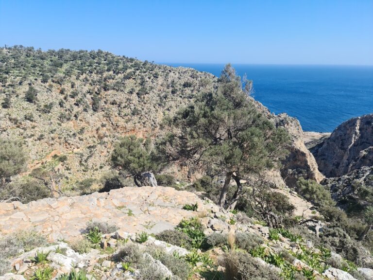
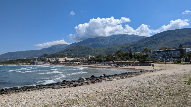
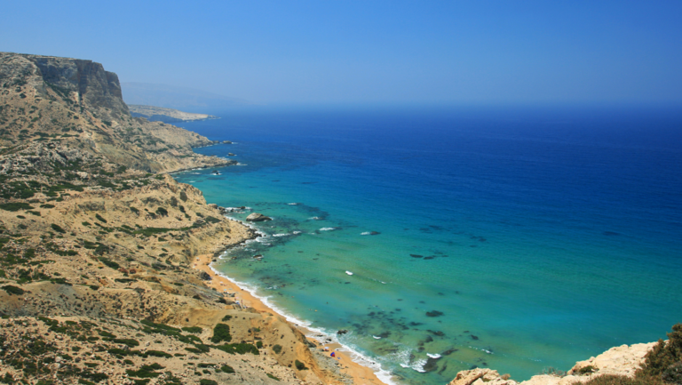
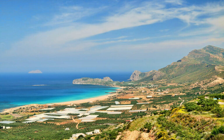
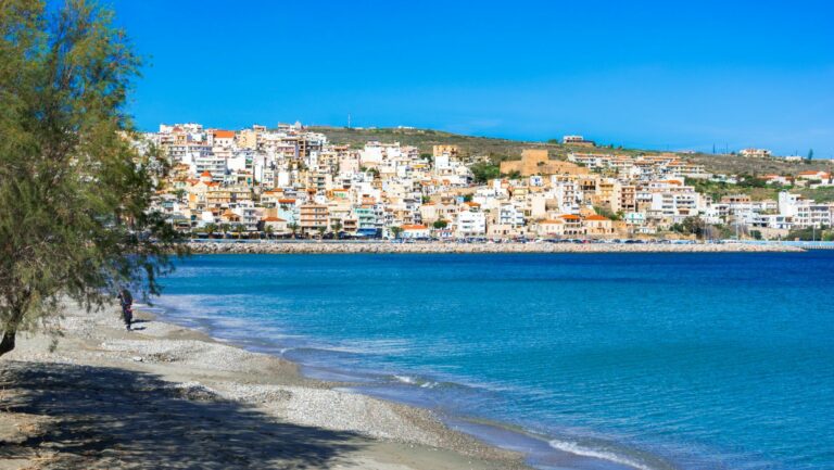
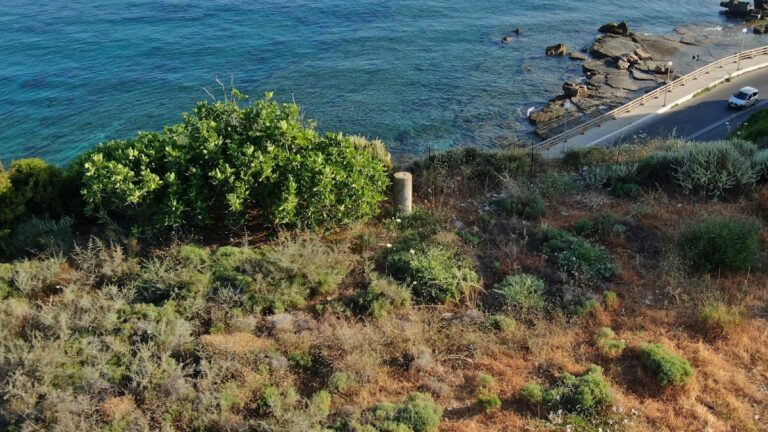
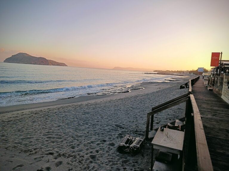
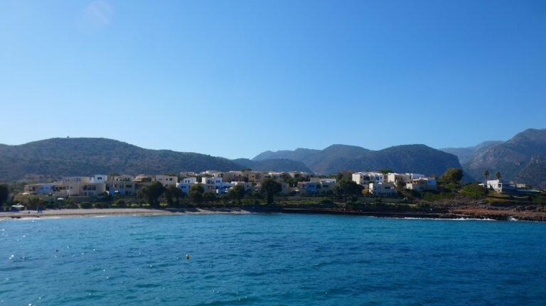
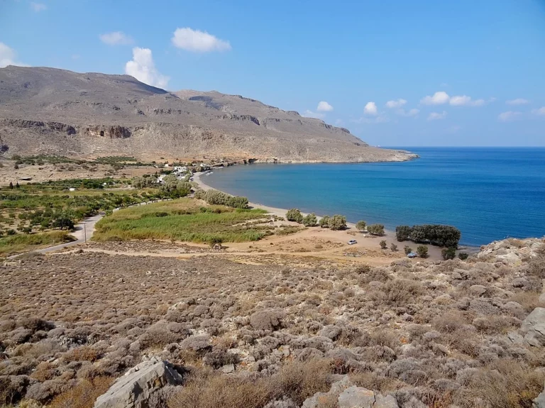
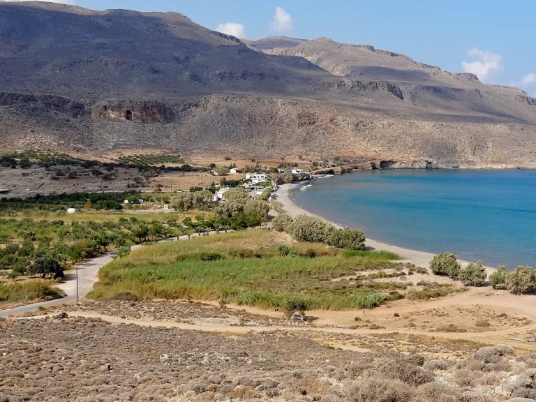
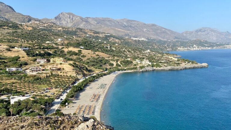
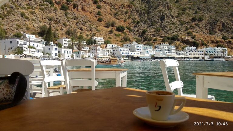
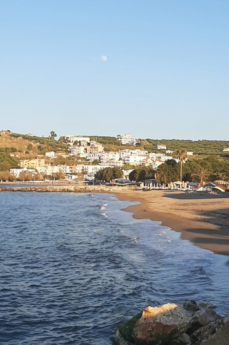
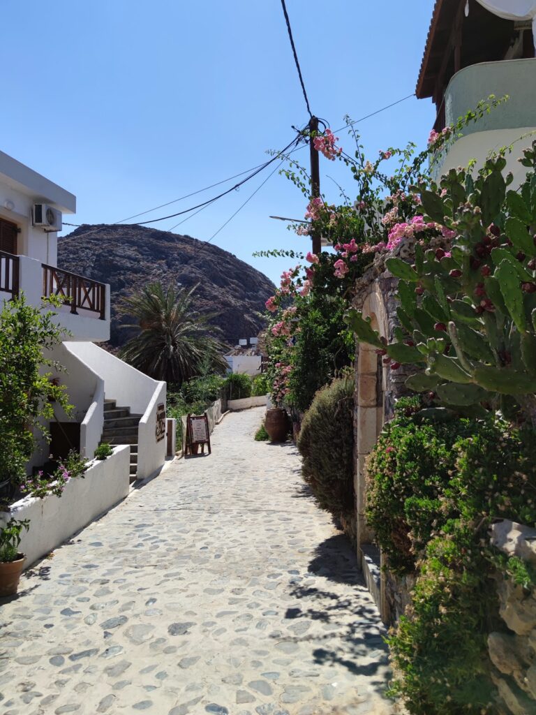
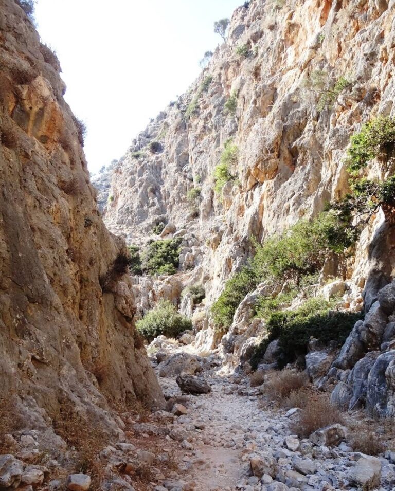
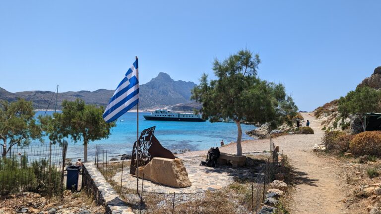
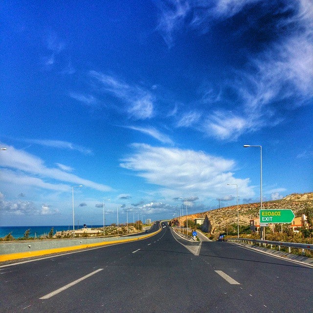
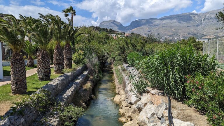
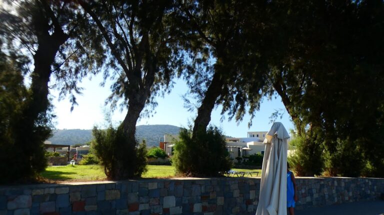
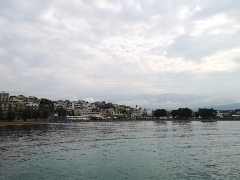
Situated 74km south of Heraklion, on the southern fringes of the grand Asterousia Mountains, is the isolated seaside village of Lendas. This modestly designed tourist resort promises a serene vacation. The journey to Lendas, from Agii Deka near Mires town, via the village of Miamou, is via a narrow paved road that winds through the rough mountains, descending from an elevation of about 1000m to sea level, offering an awe-inspiring view of the Lendas sea.

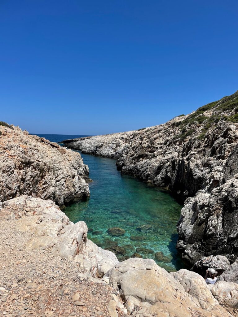
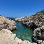
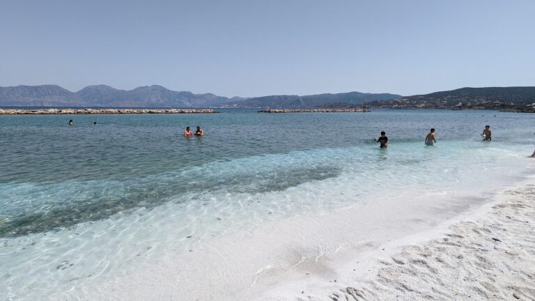
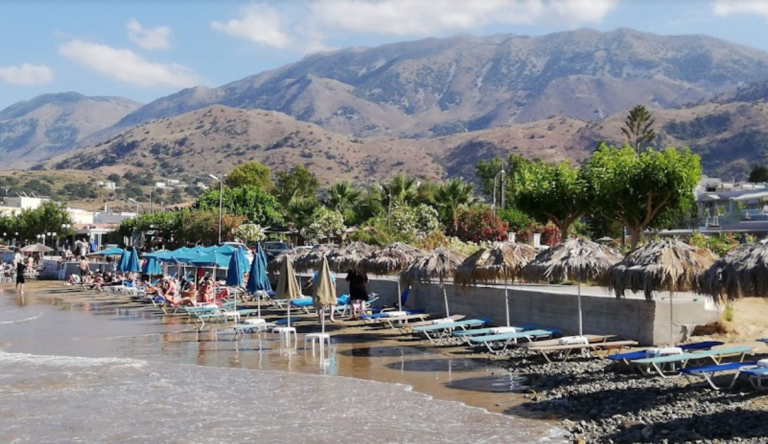
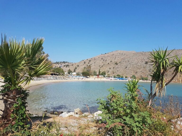
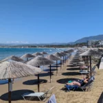
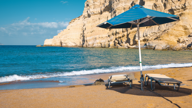
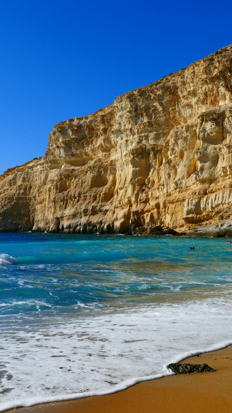
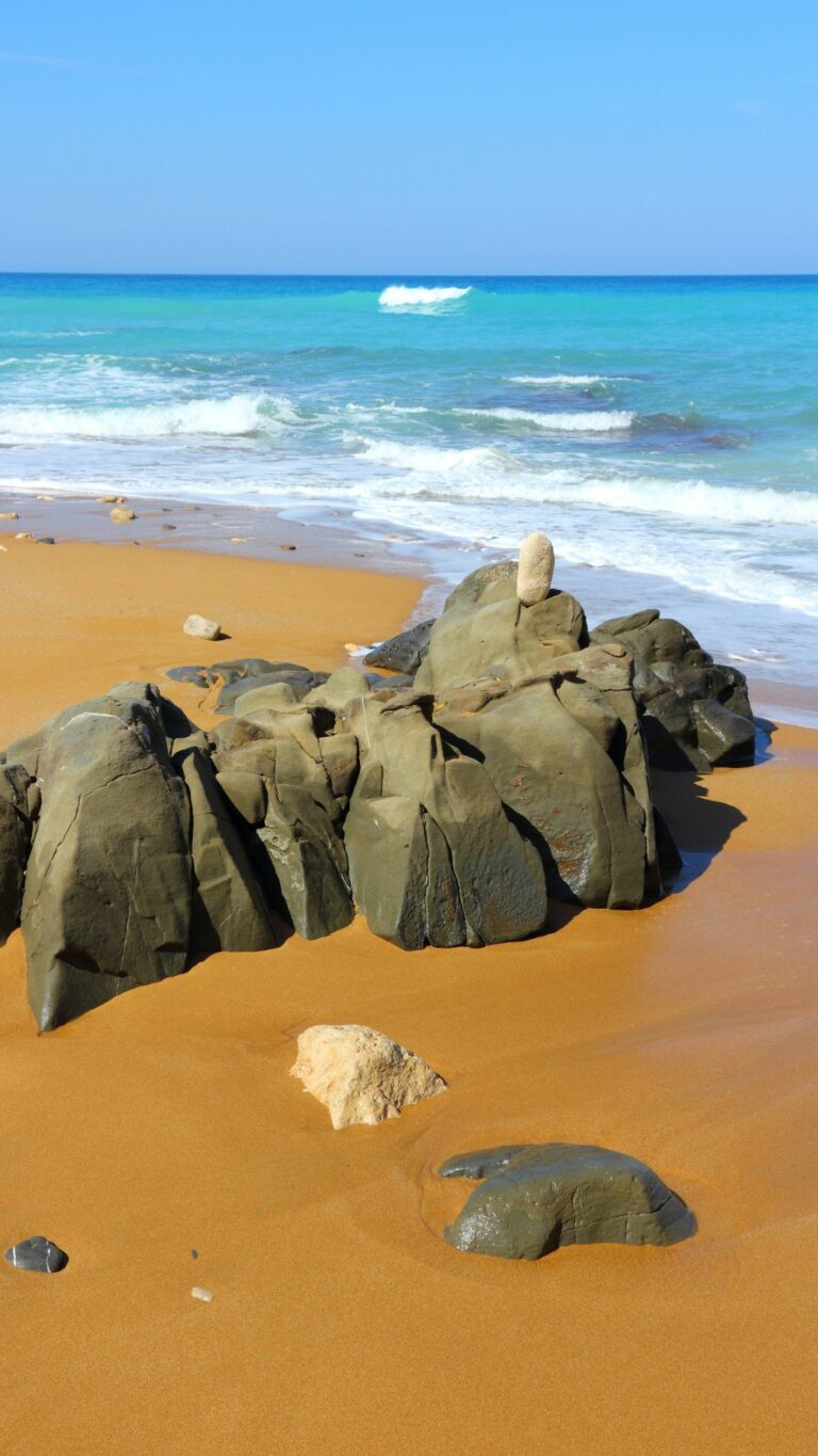
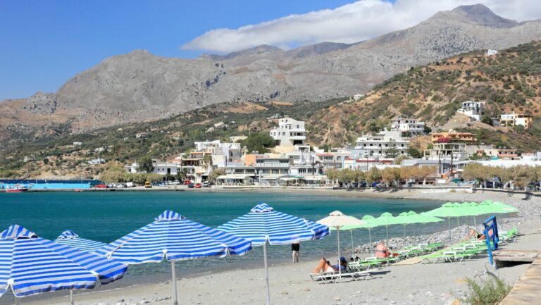
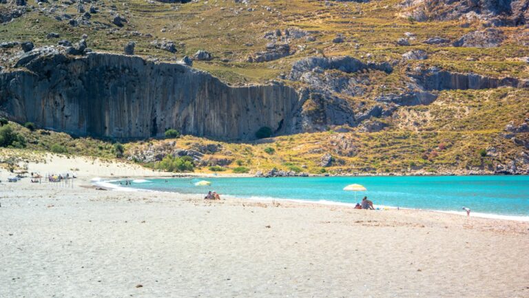
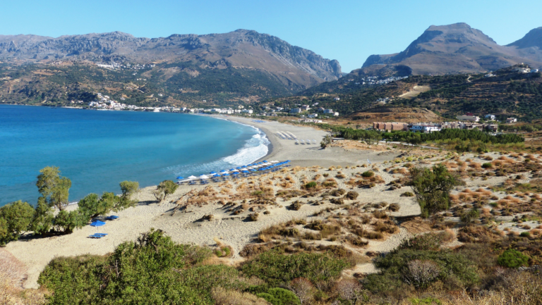
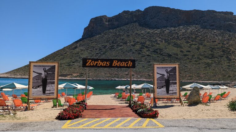
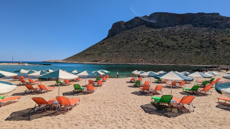
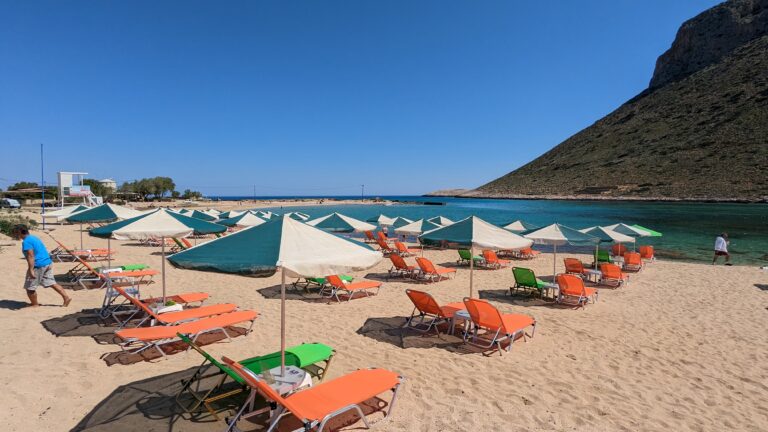
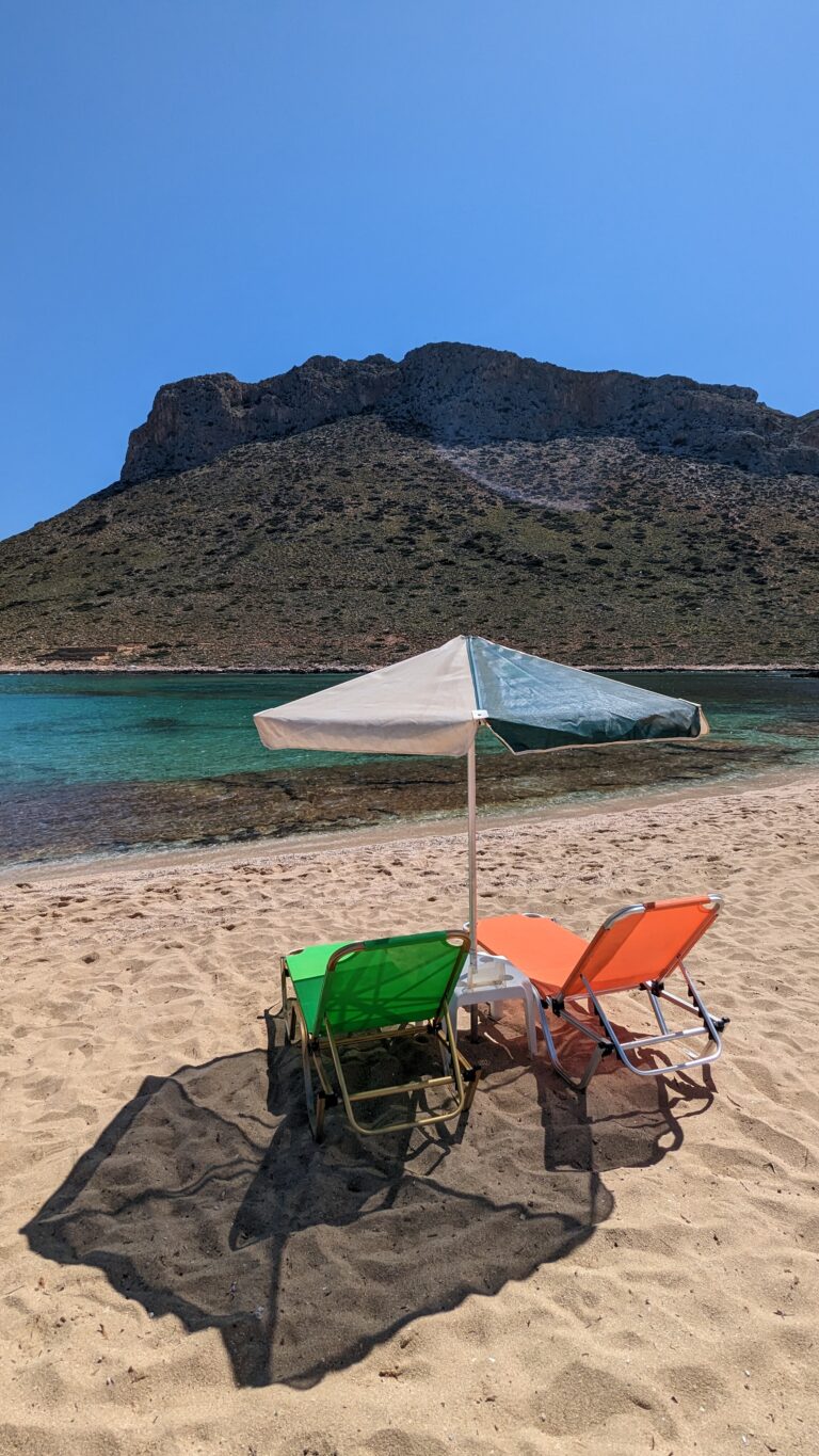
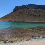
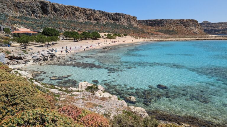
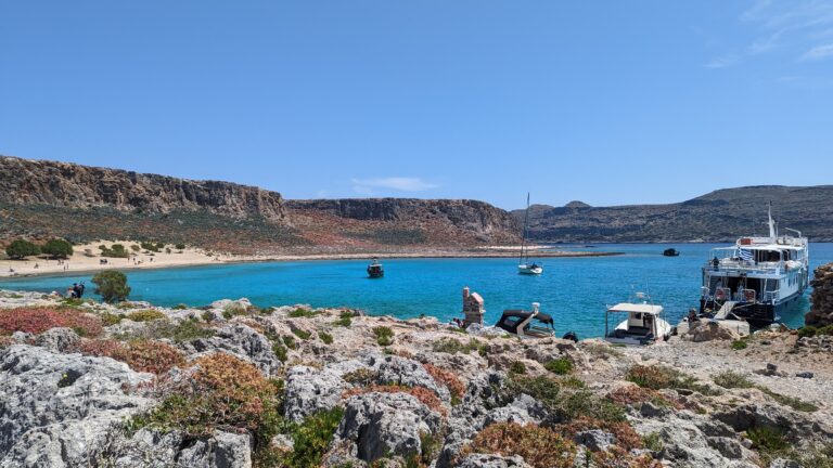
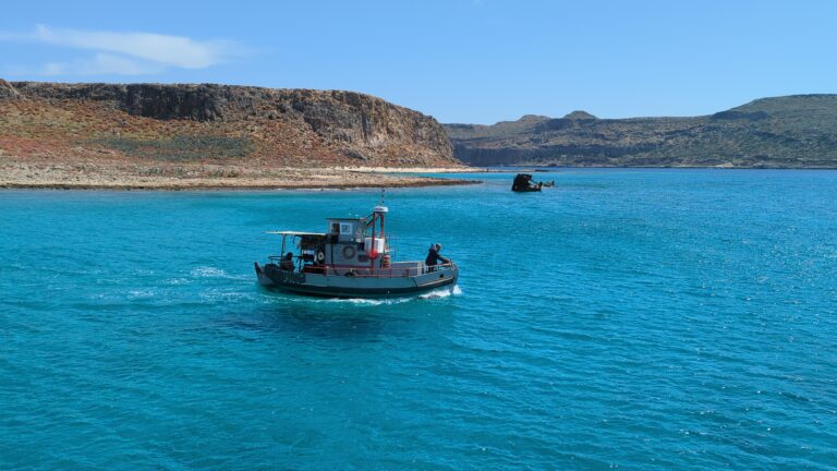
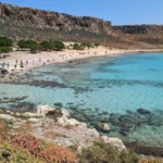
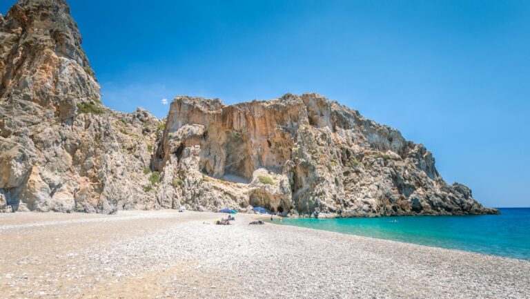
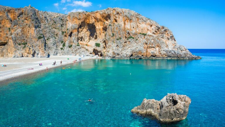
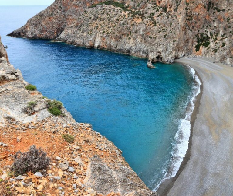
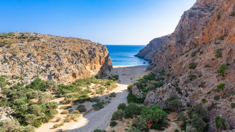
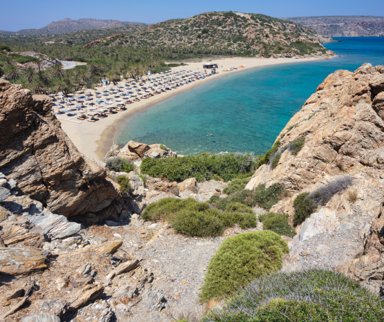
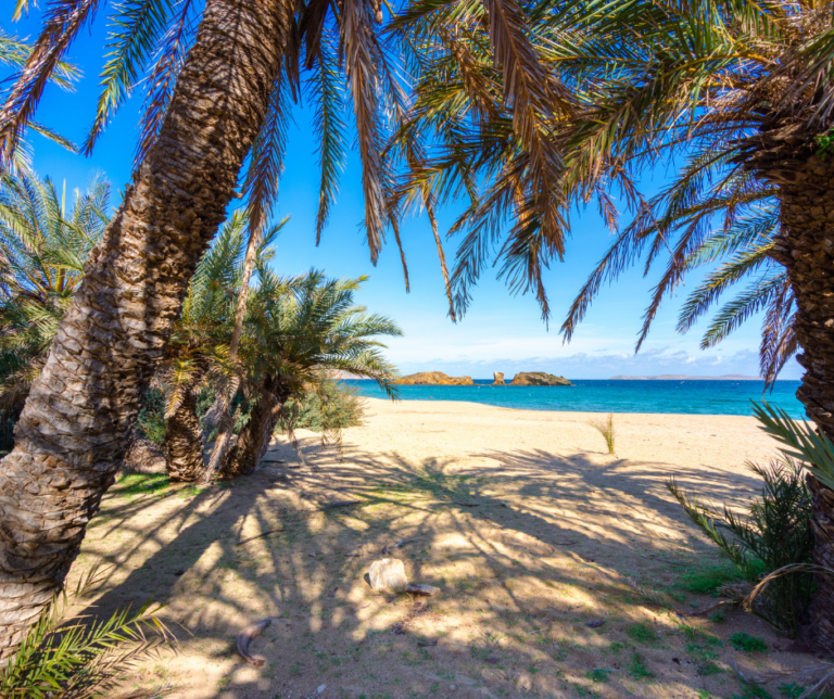
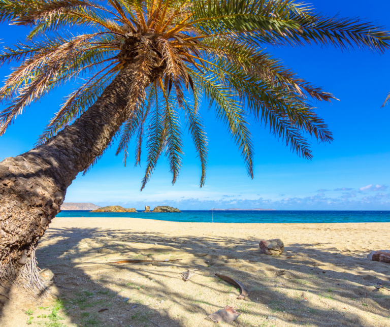
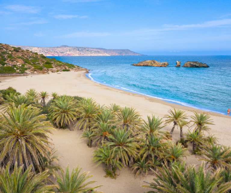
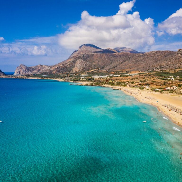
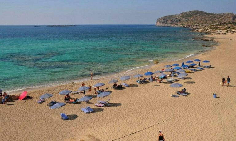
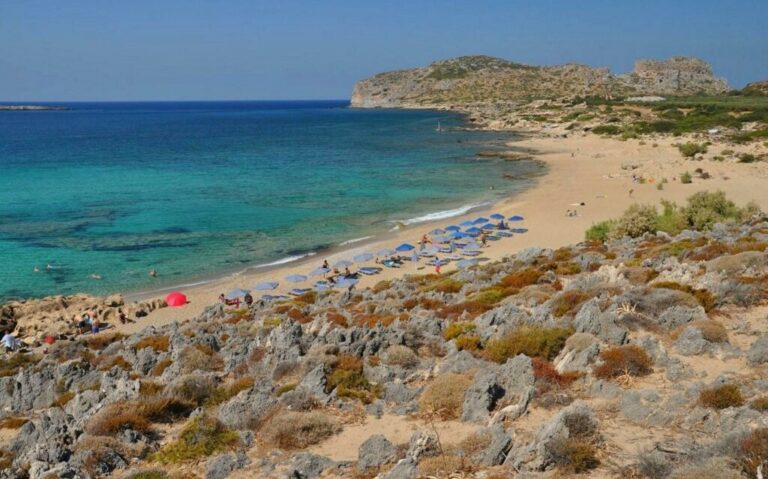
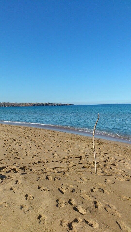
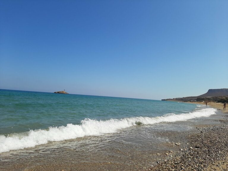
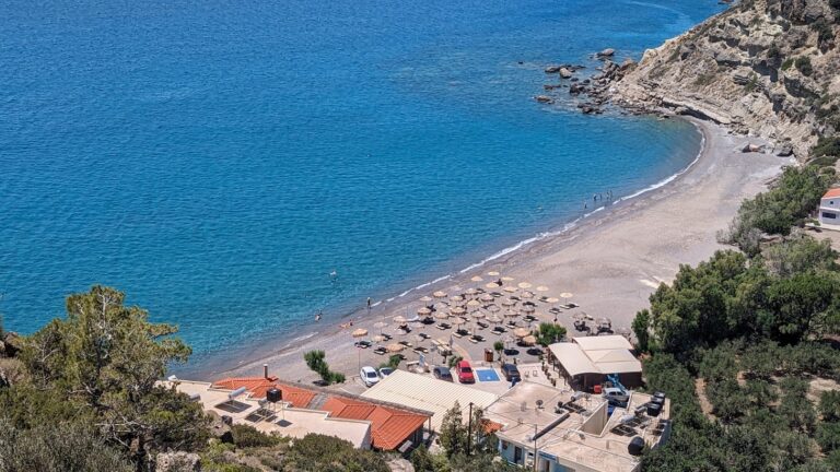
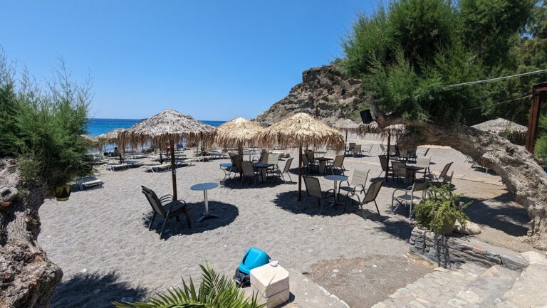
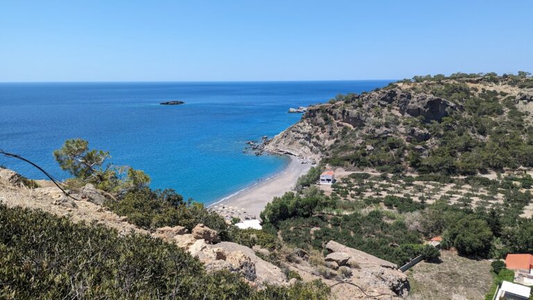
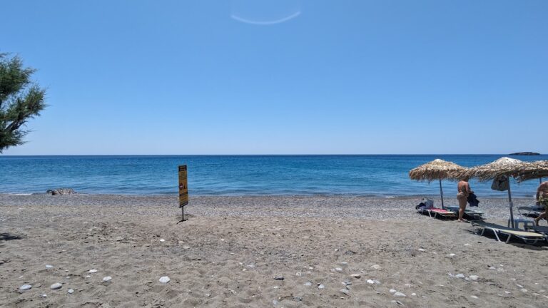
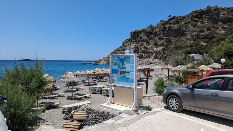
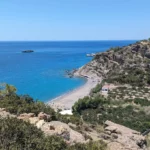
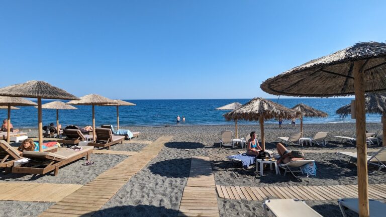
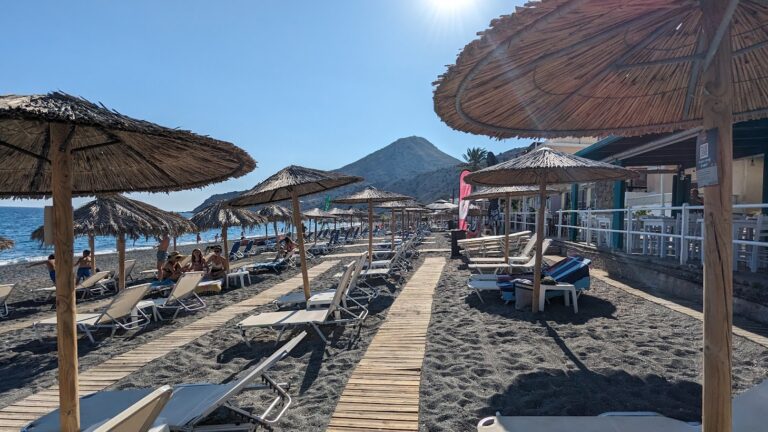
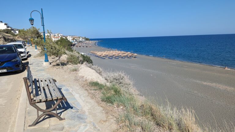
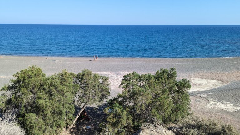
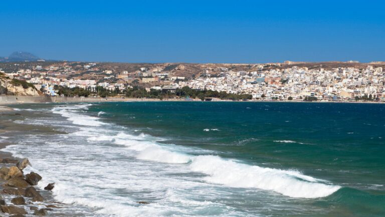
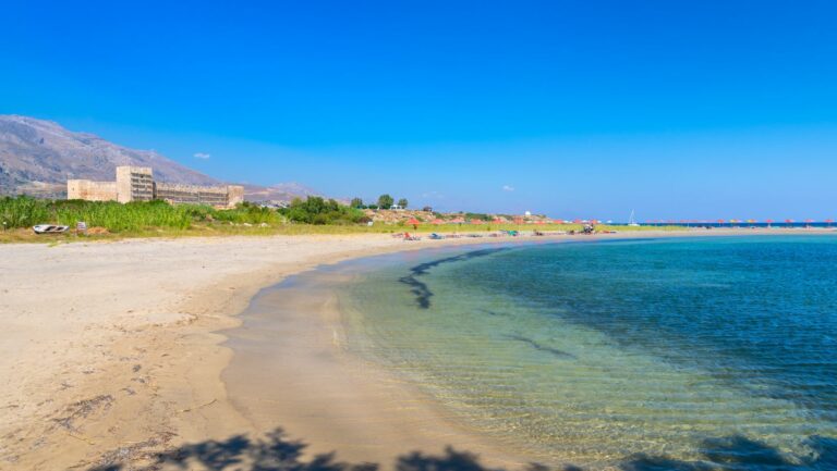
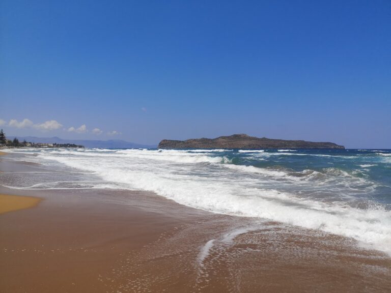
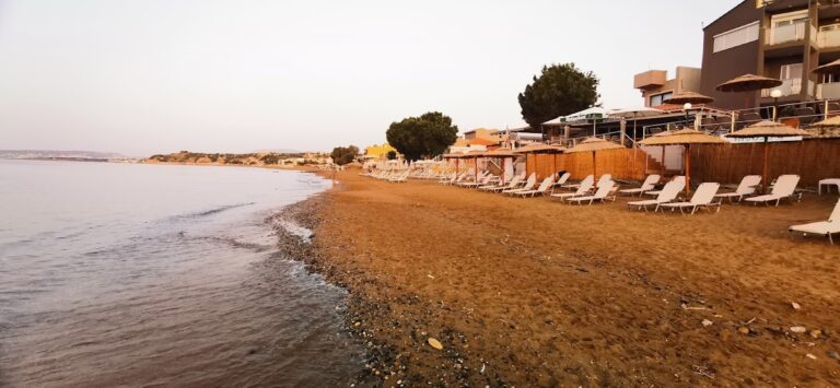
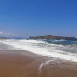
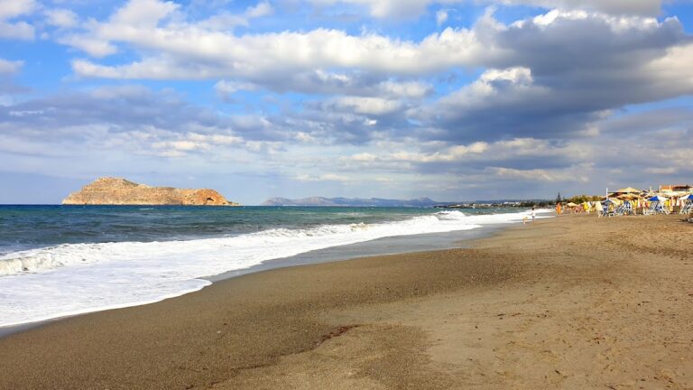
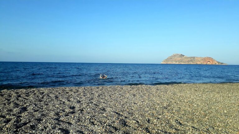
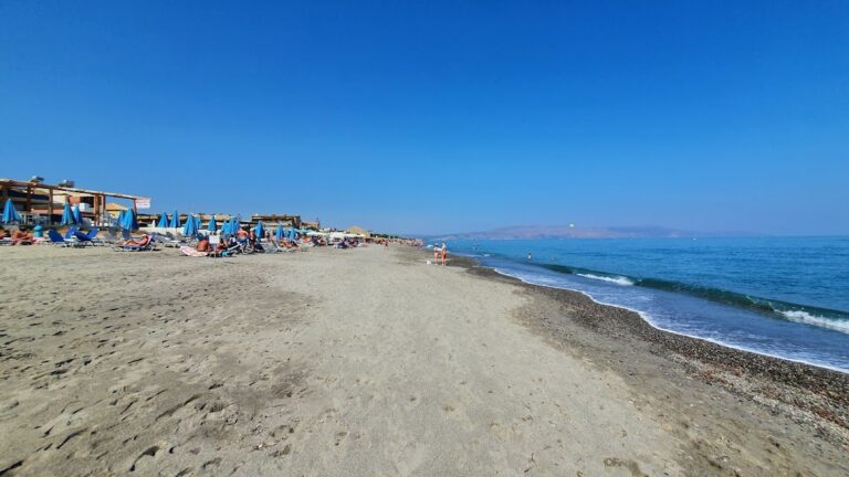
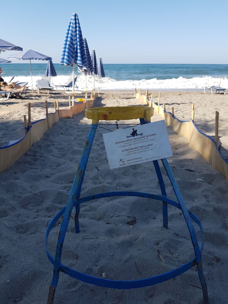
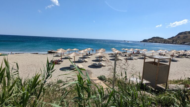
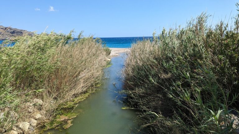
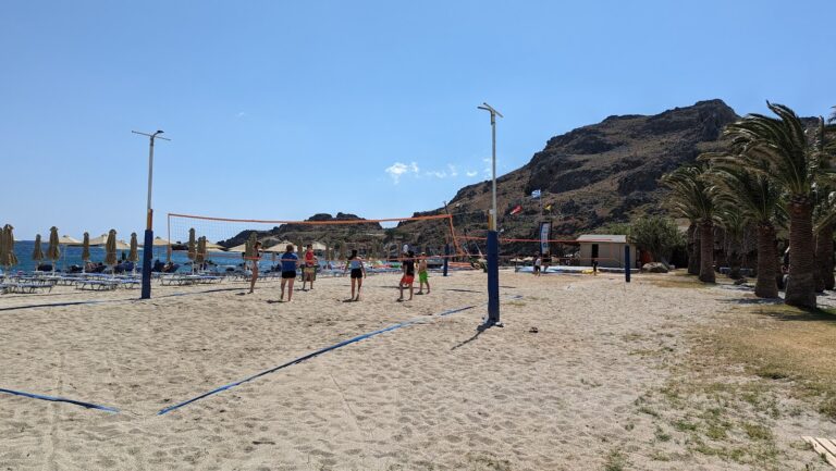
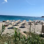
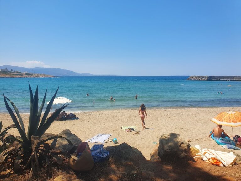
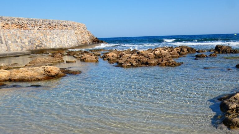
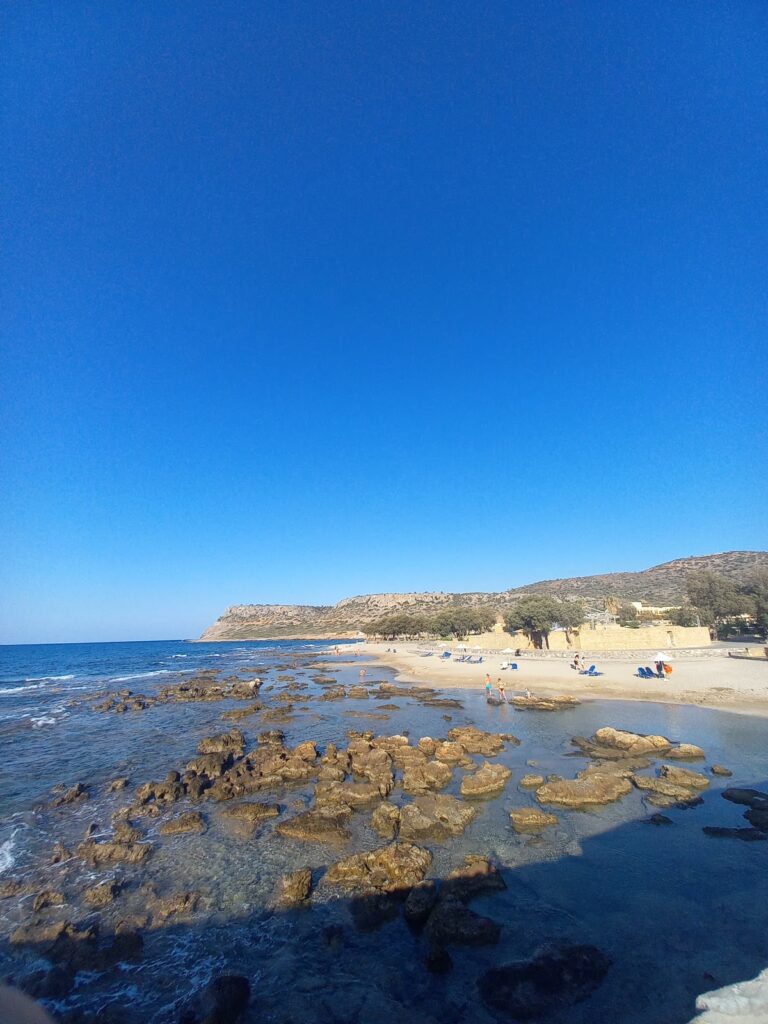
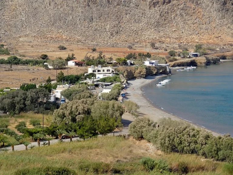
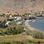
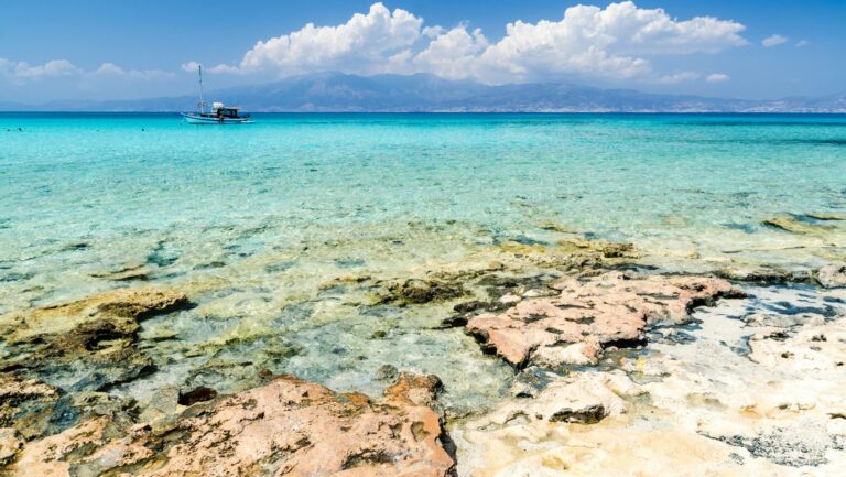
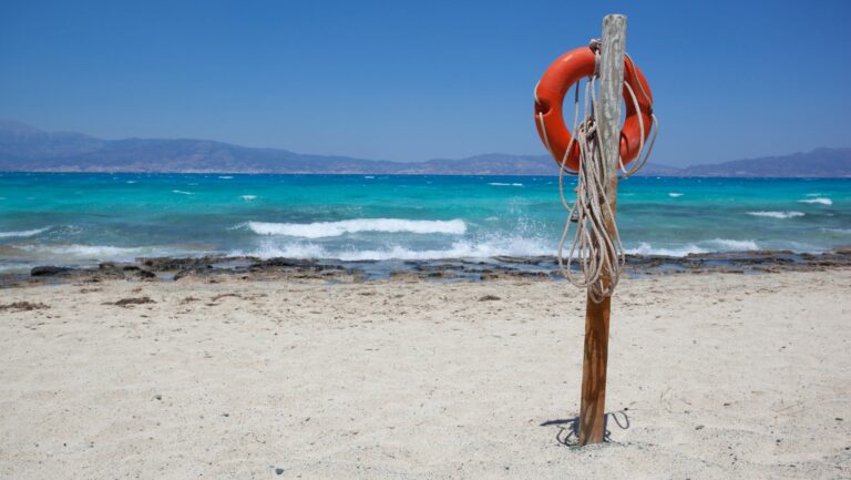
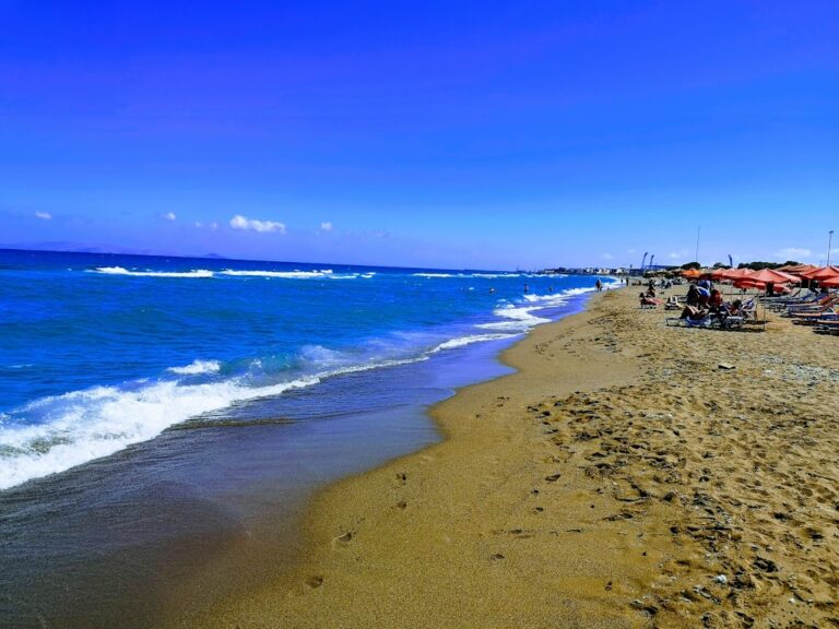
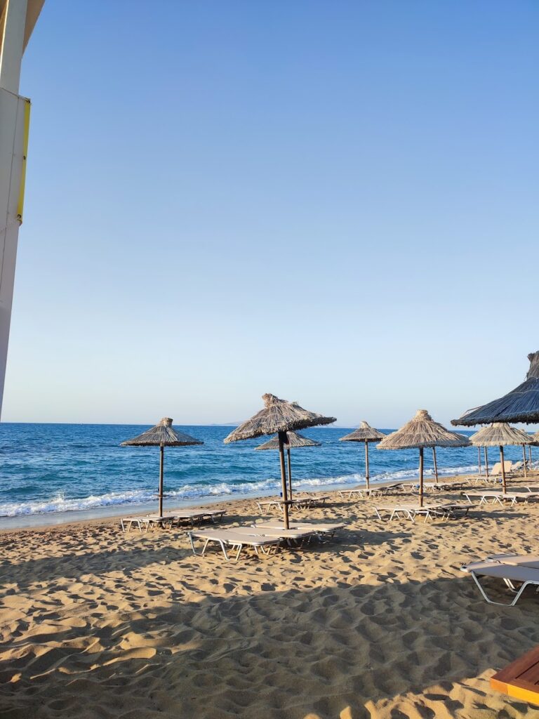
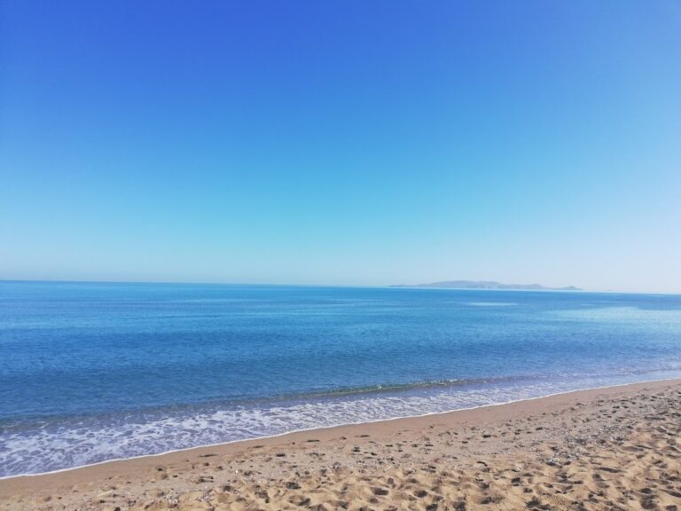
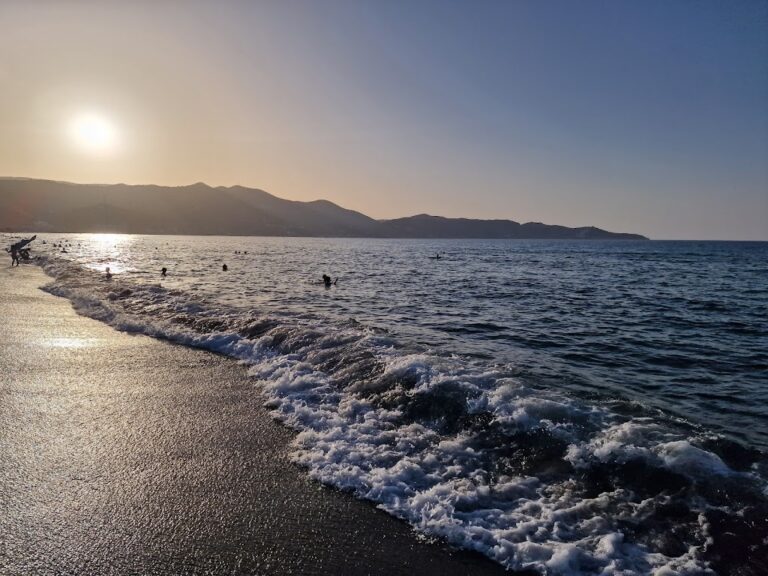
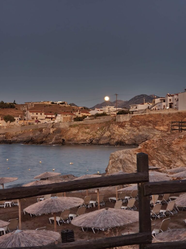
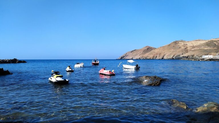
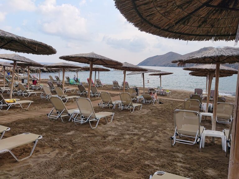
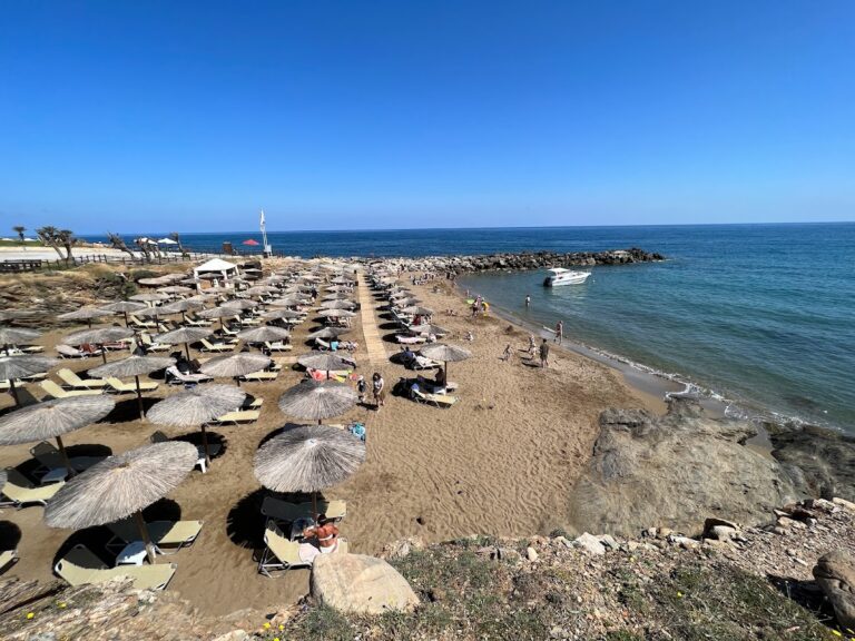
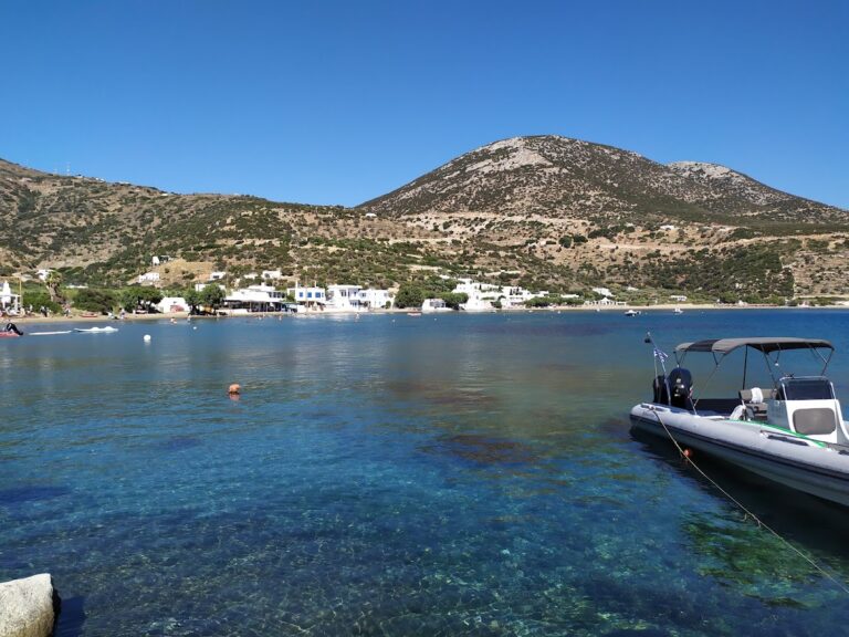
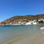
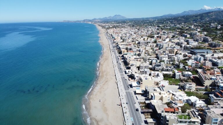
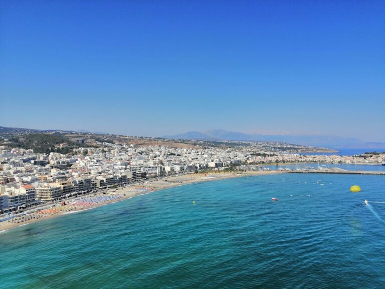
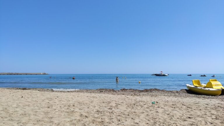
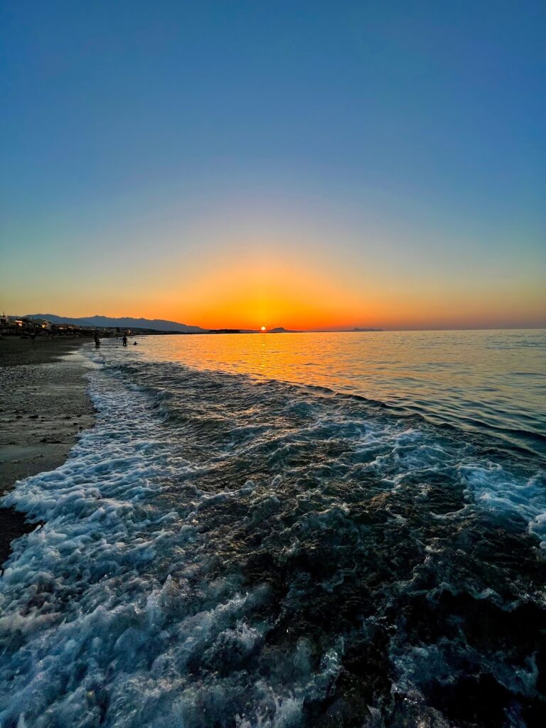
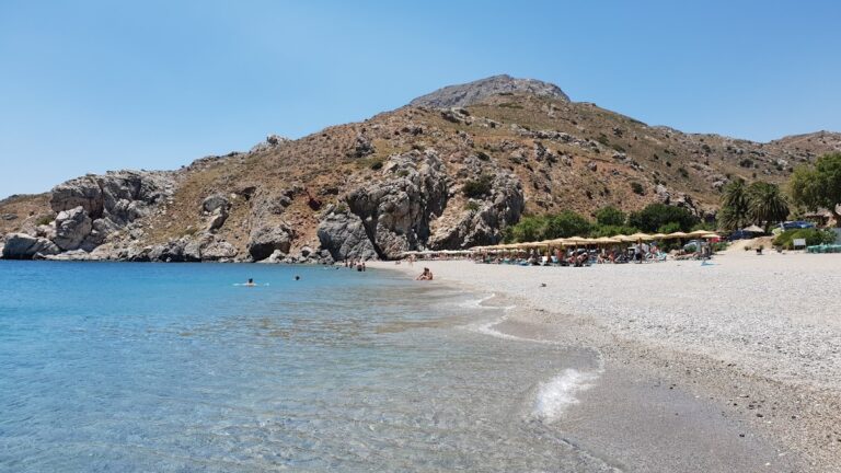
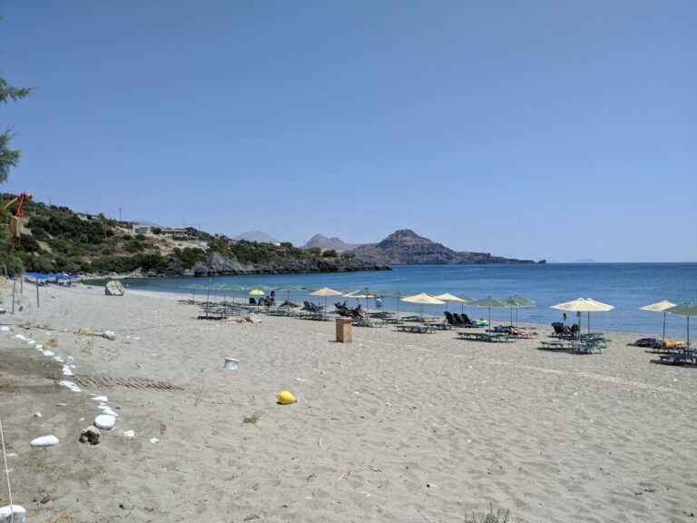
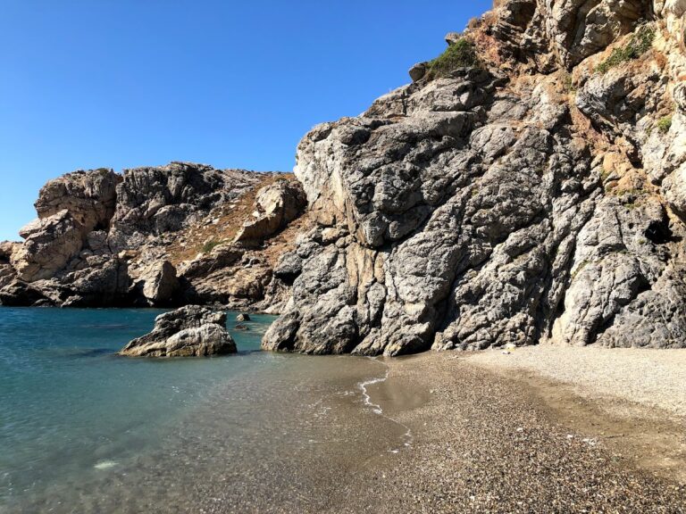
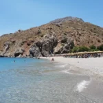
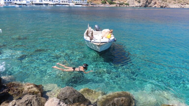
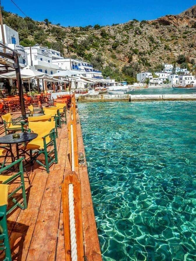
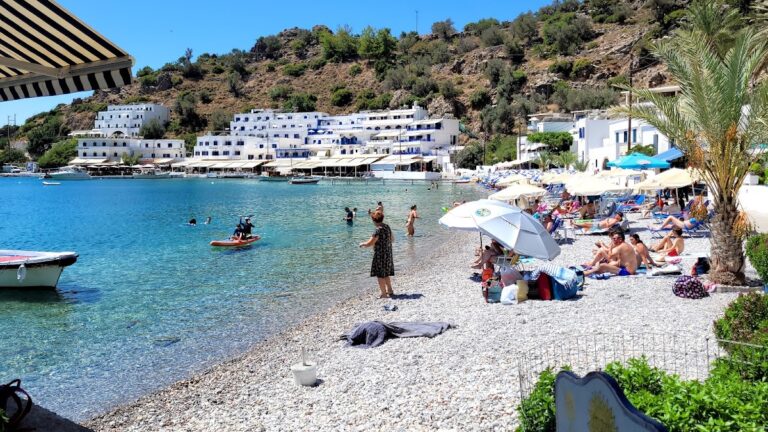
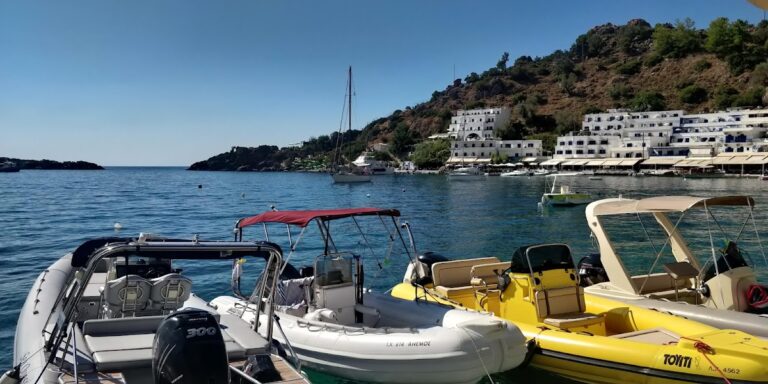
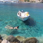
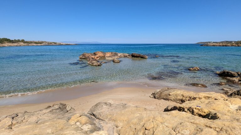
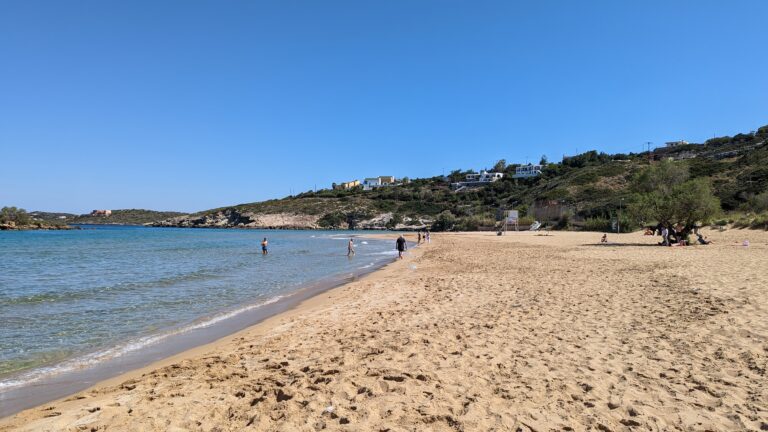
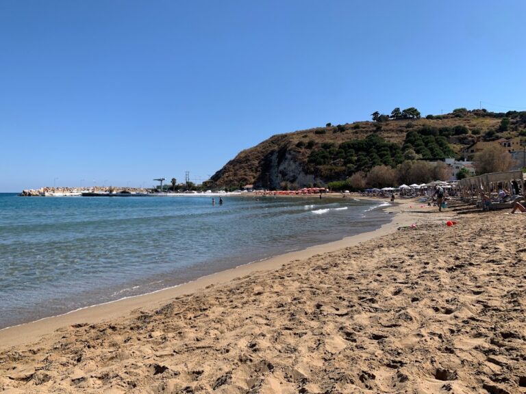
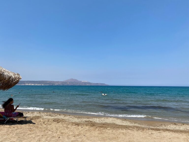
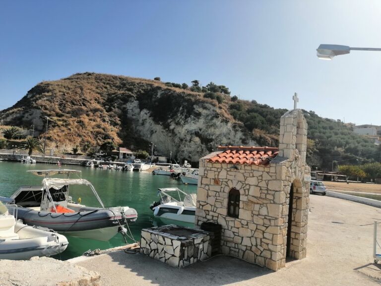
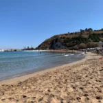
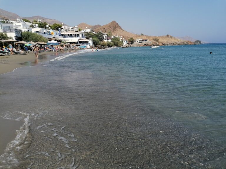
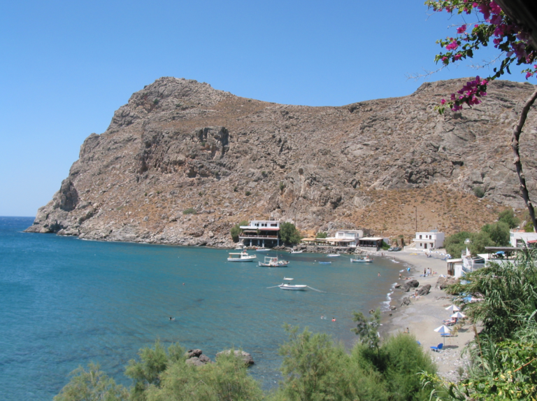
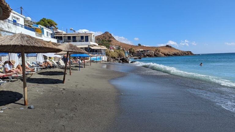
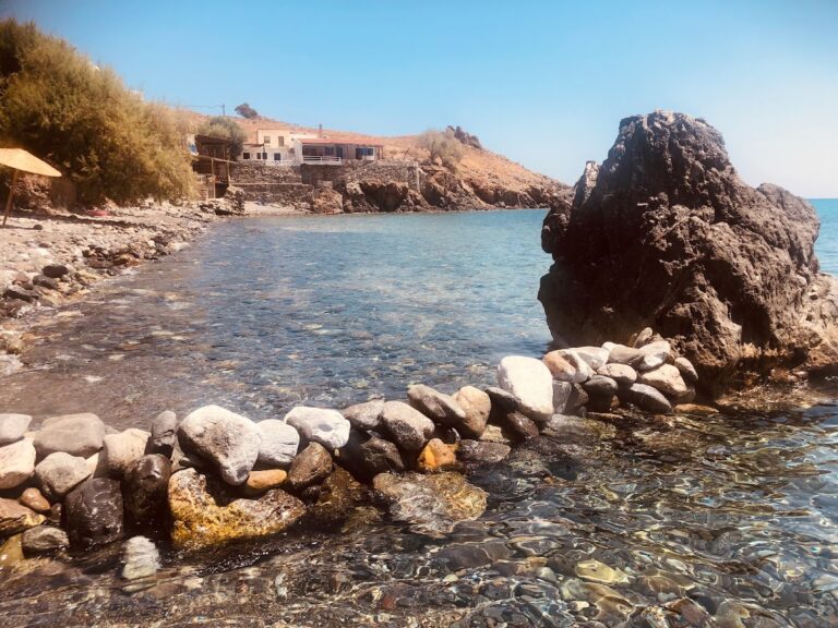
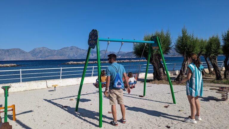
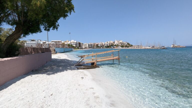
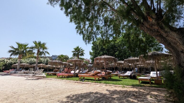
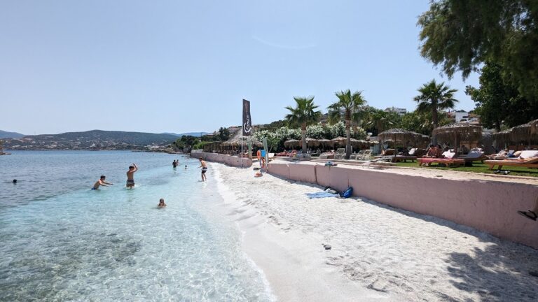
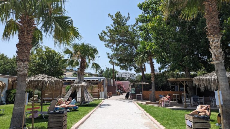
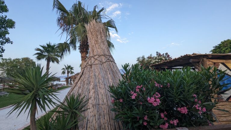
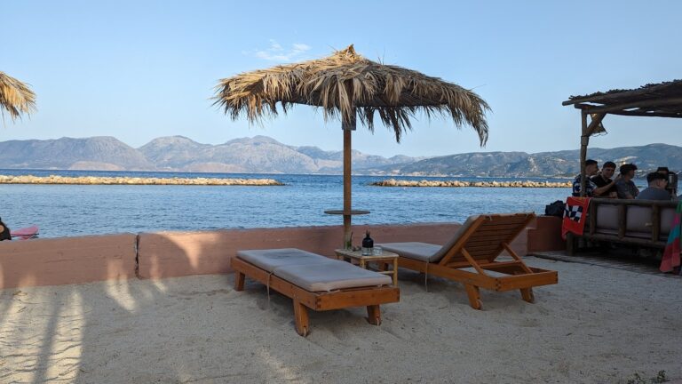
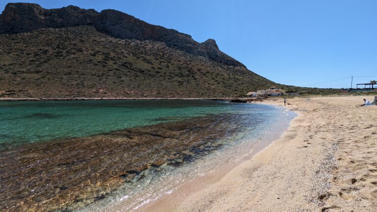
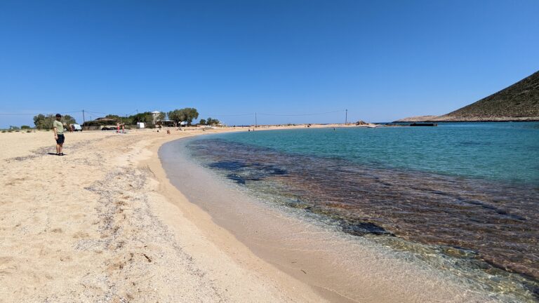
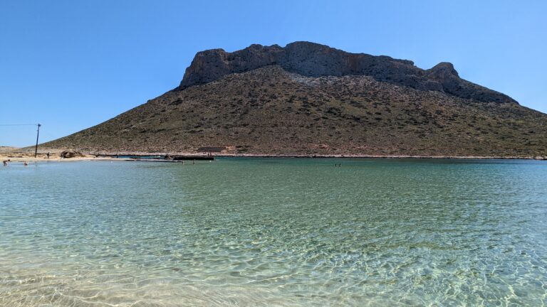
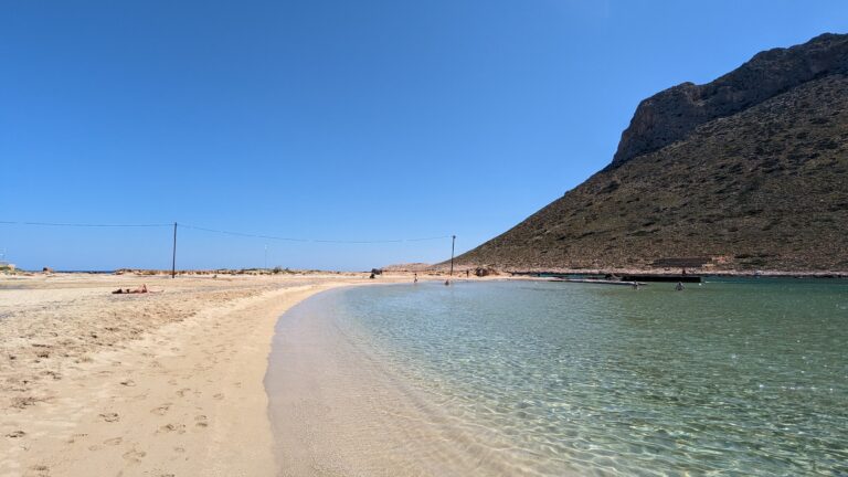
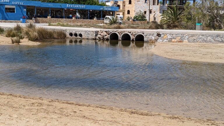
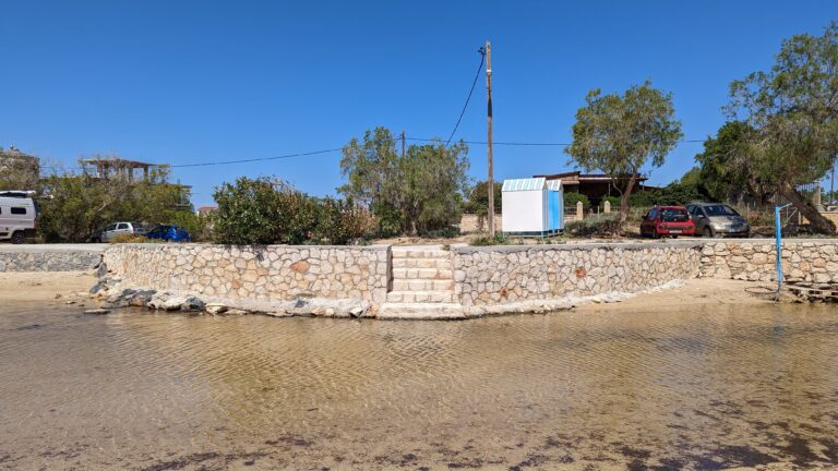
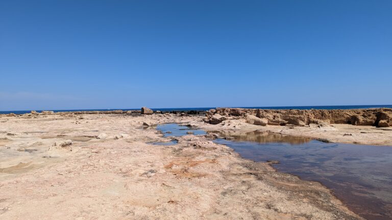
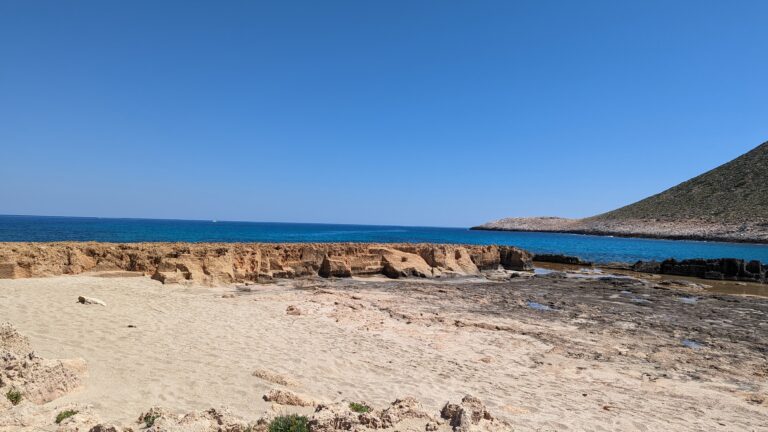
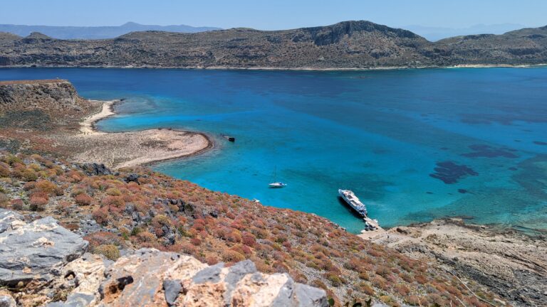
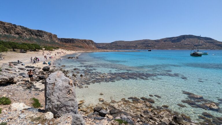
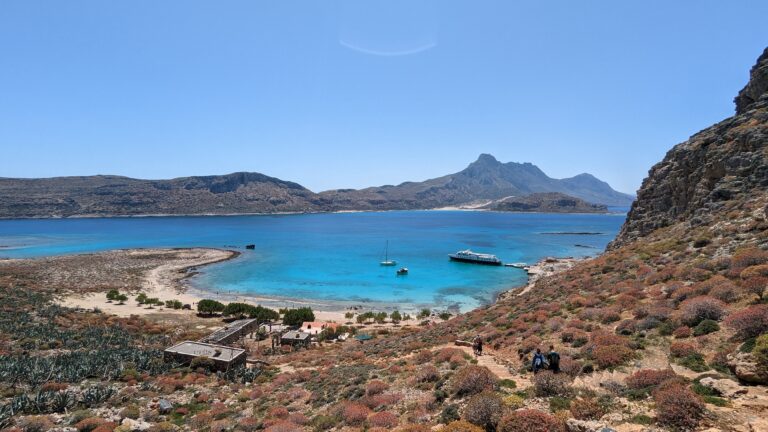
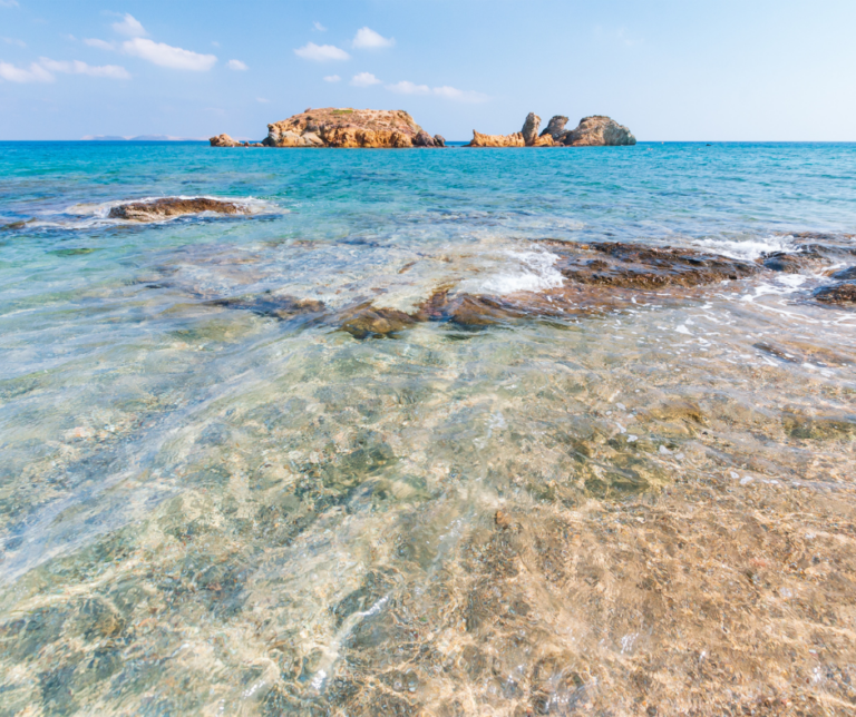
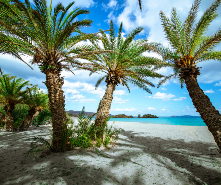
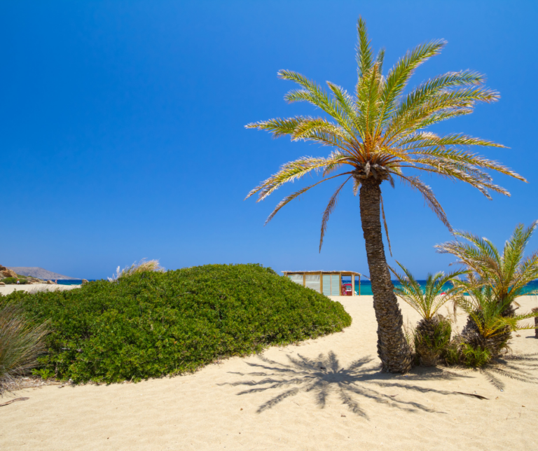
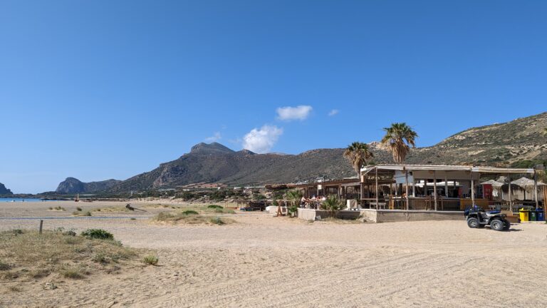
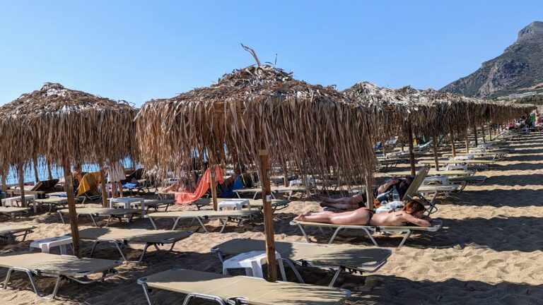
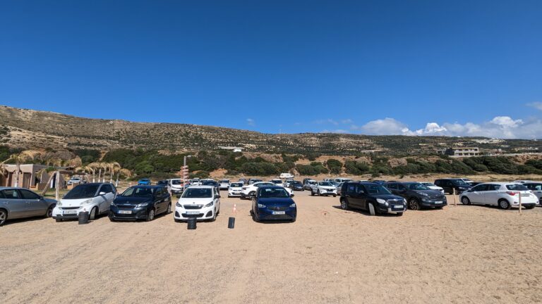
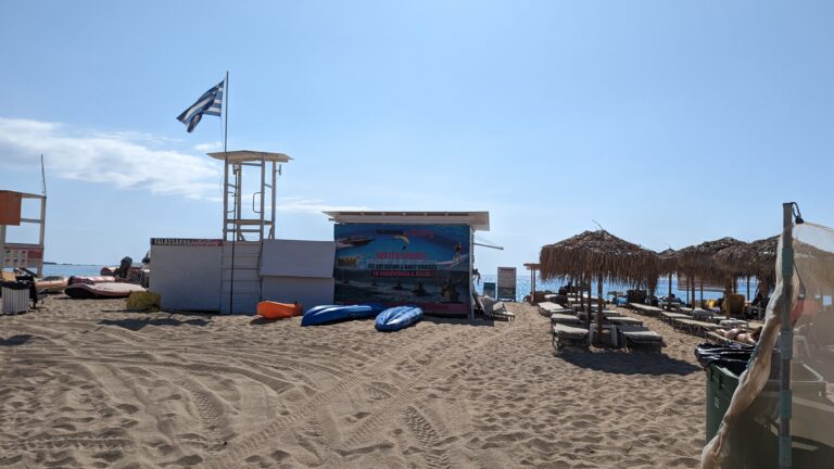
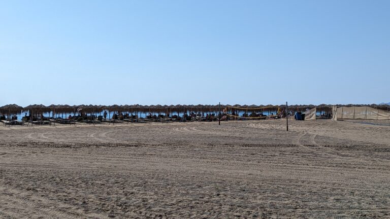
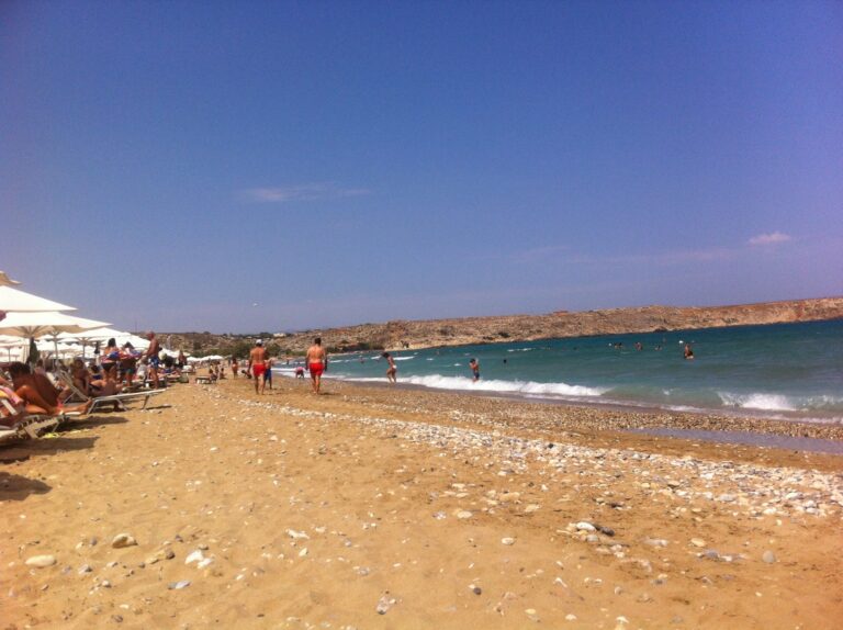
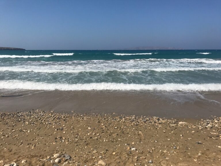
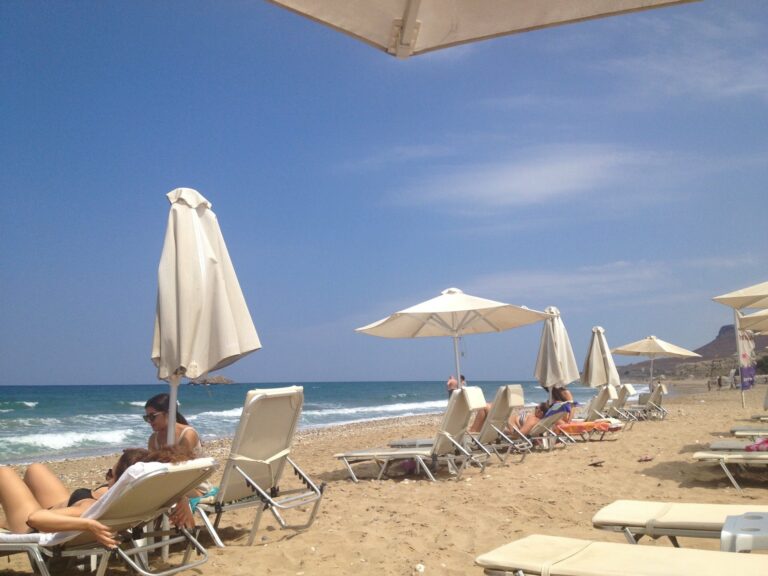
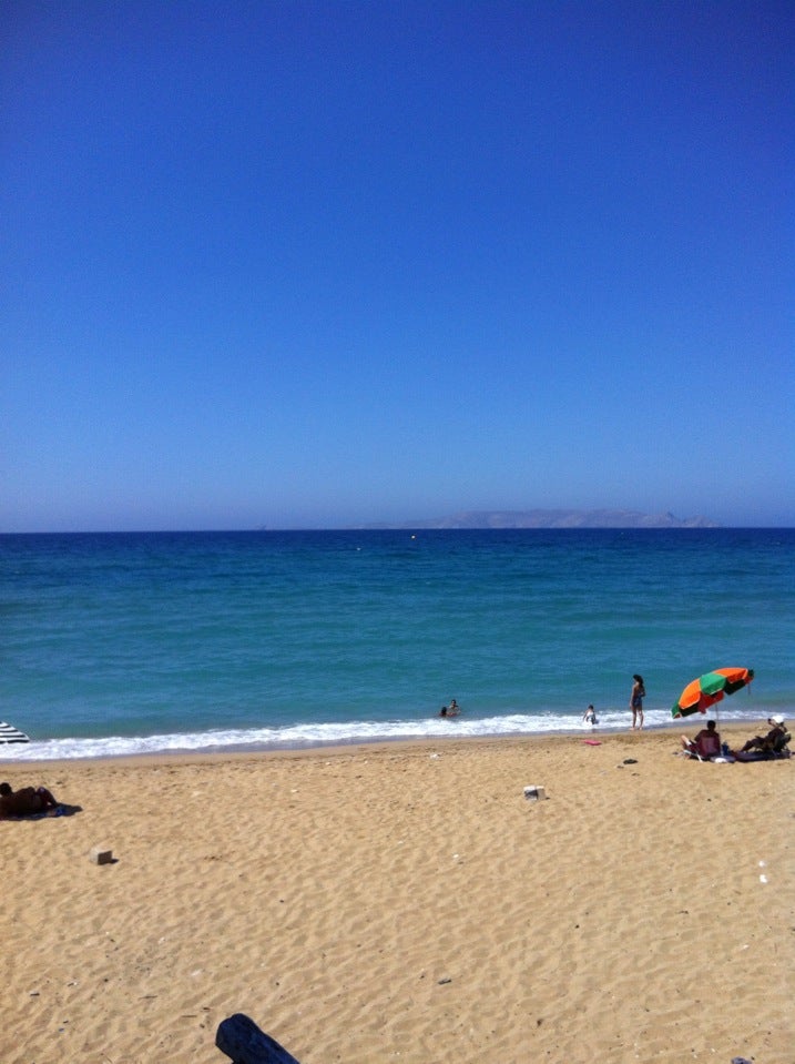
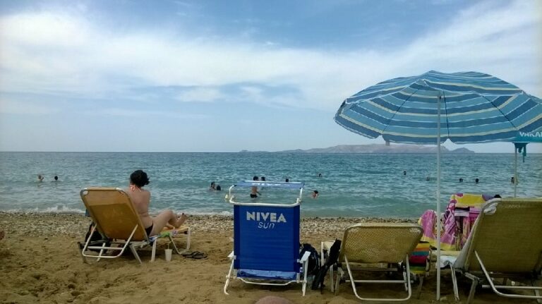
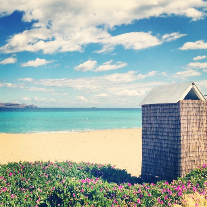
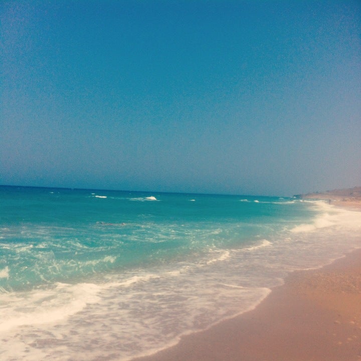
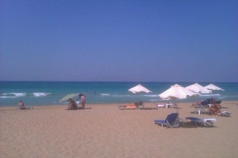
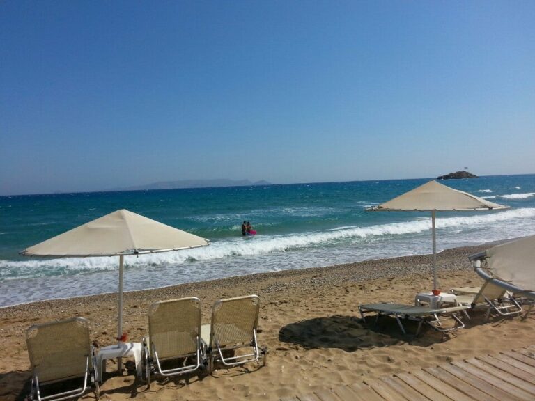
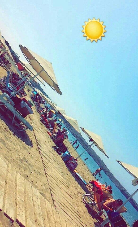
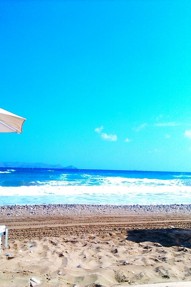
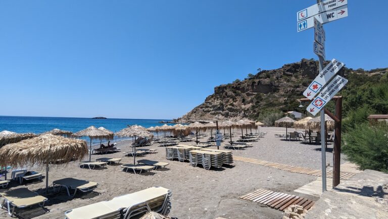
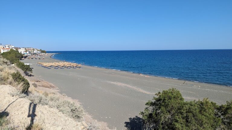
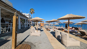
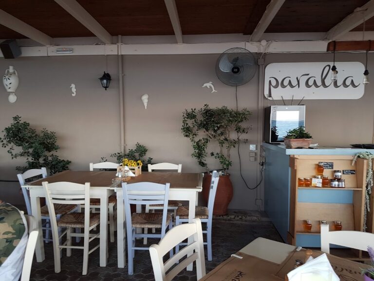
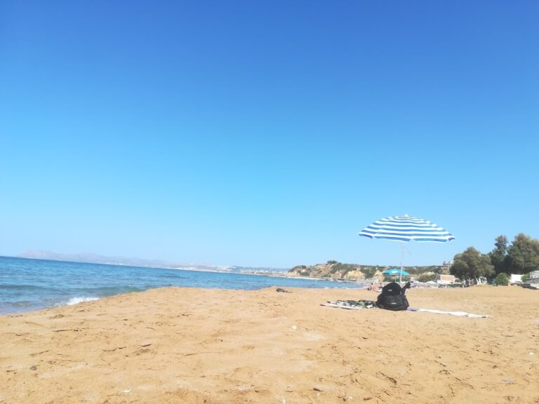
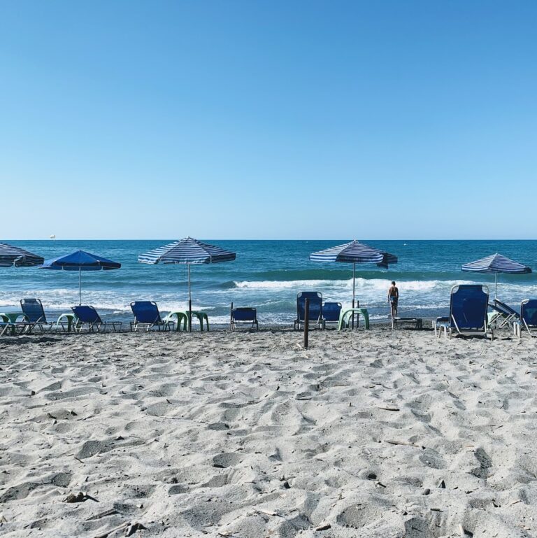
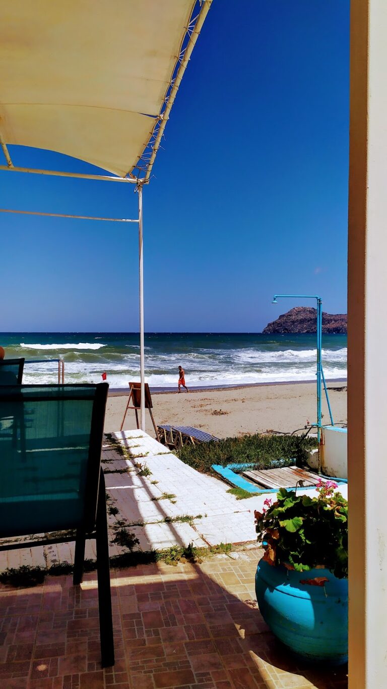
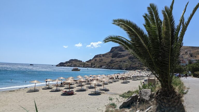
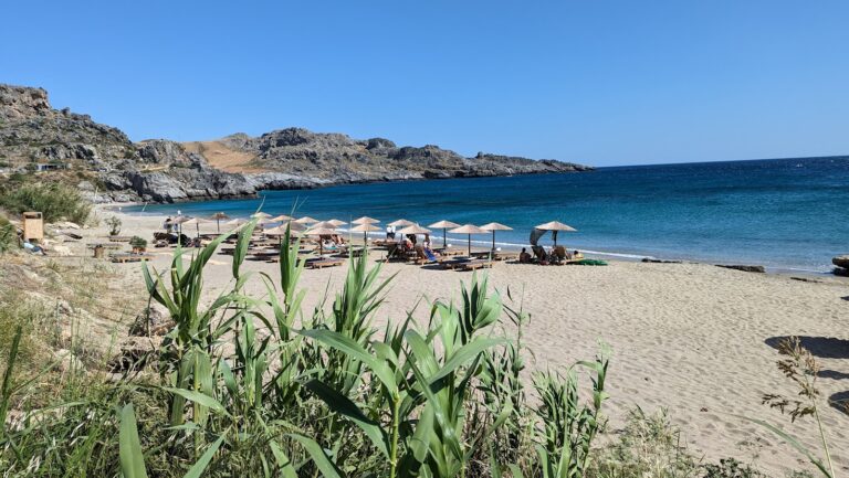
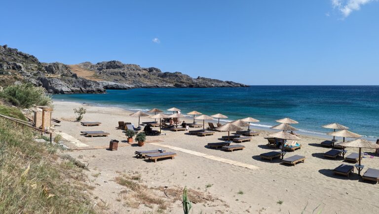
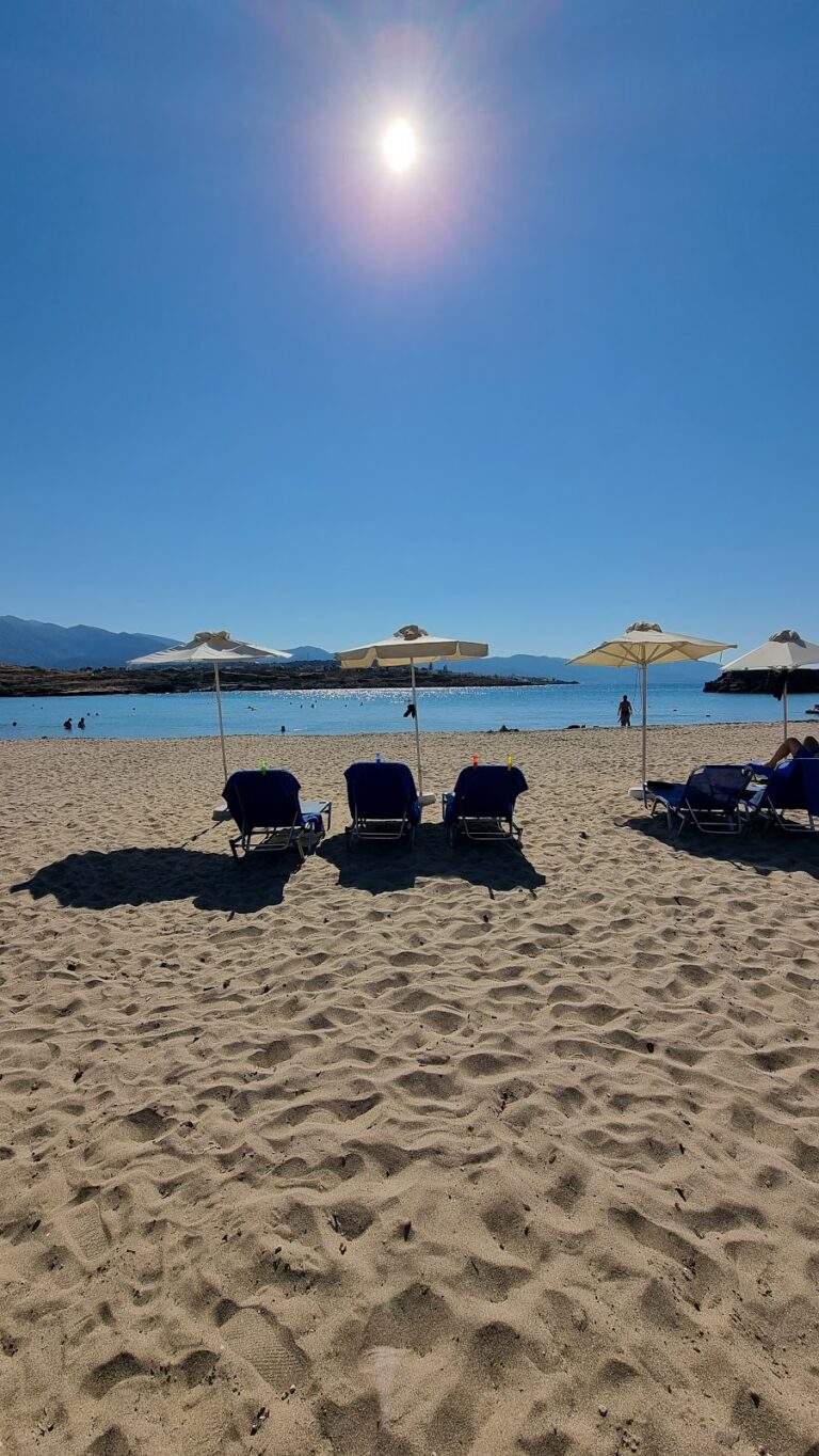
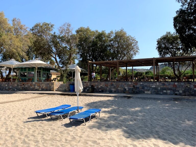
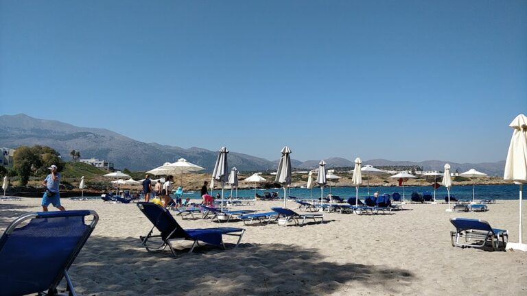
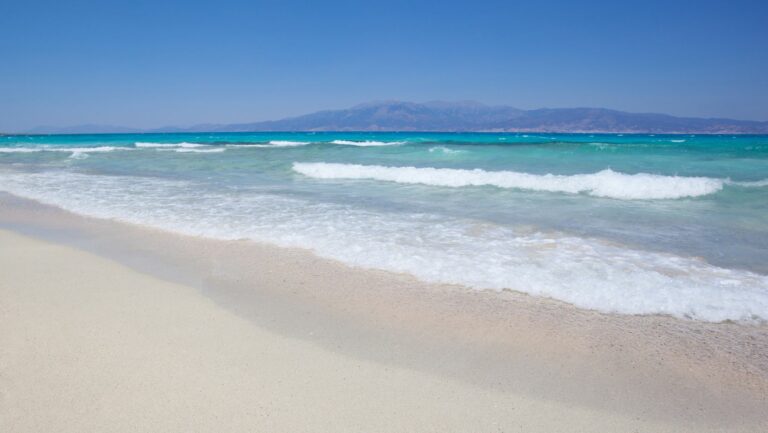
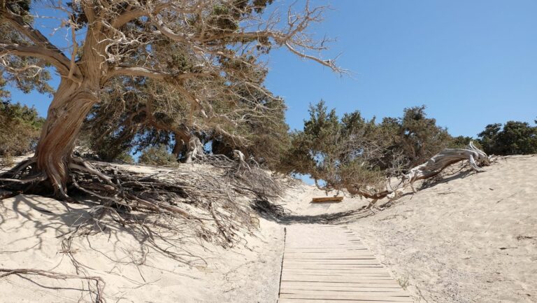
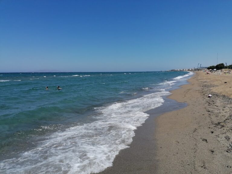
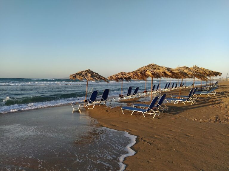
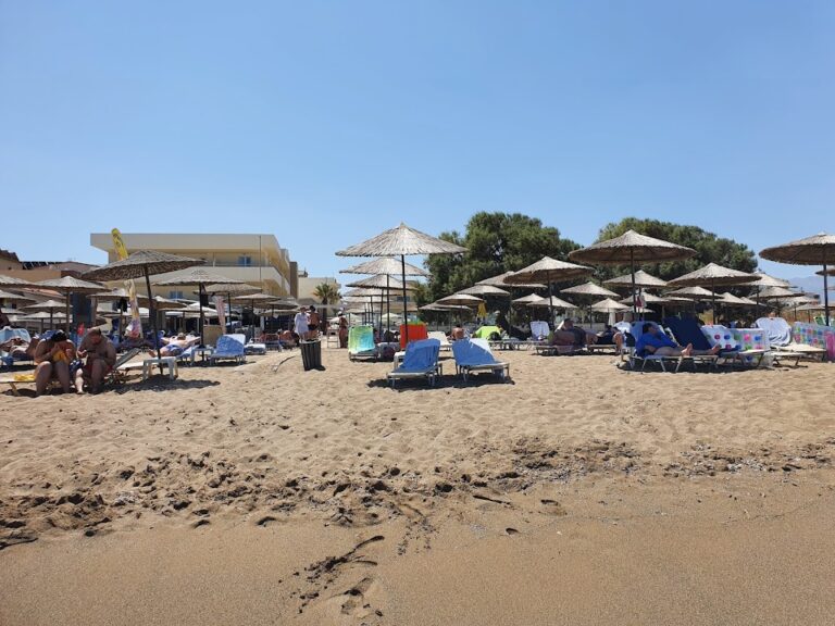
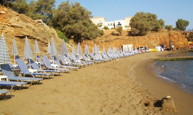
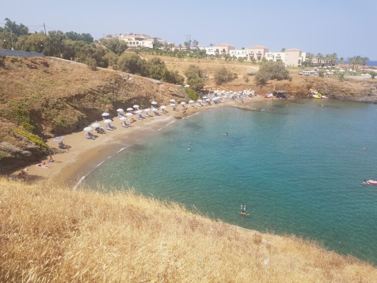
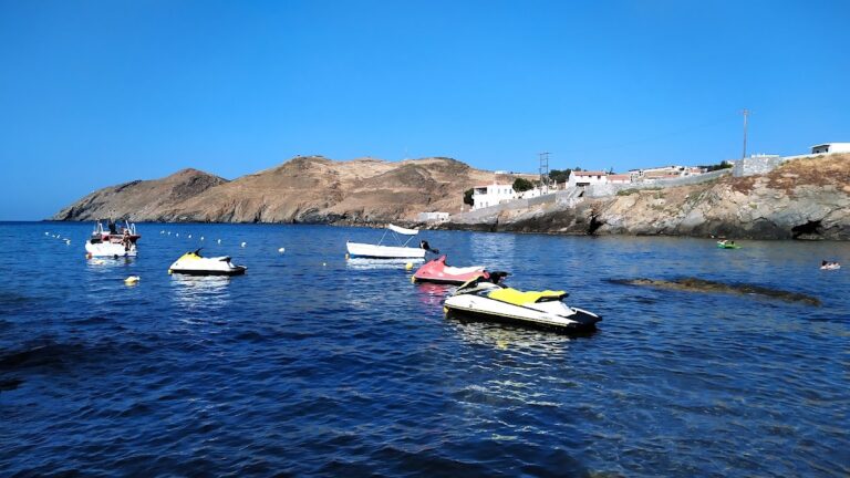
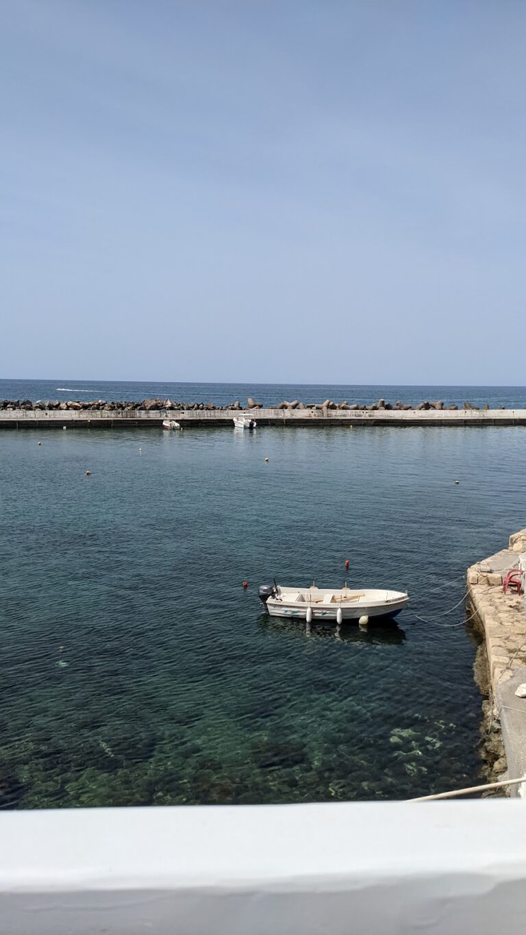
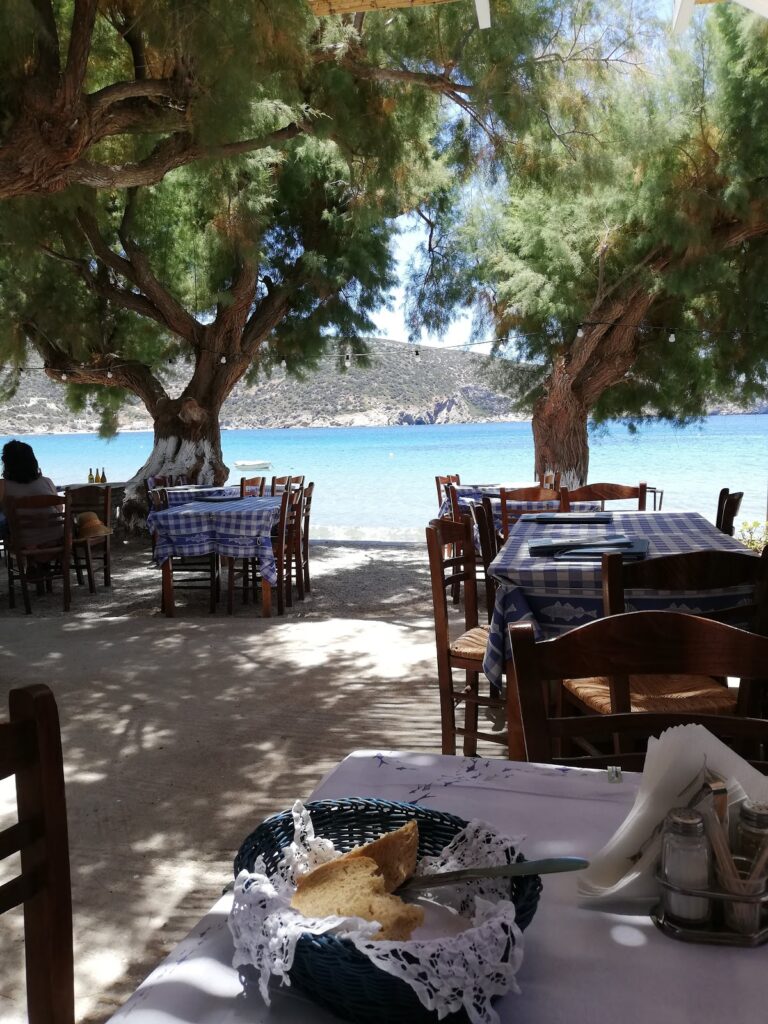
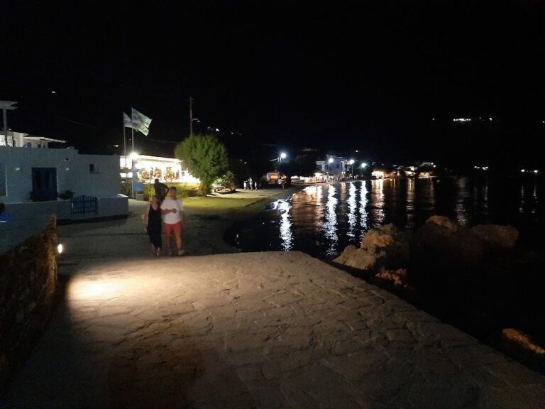
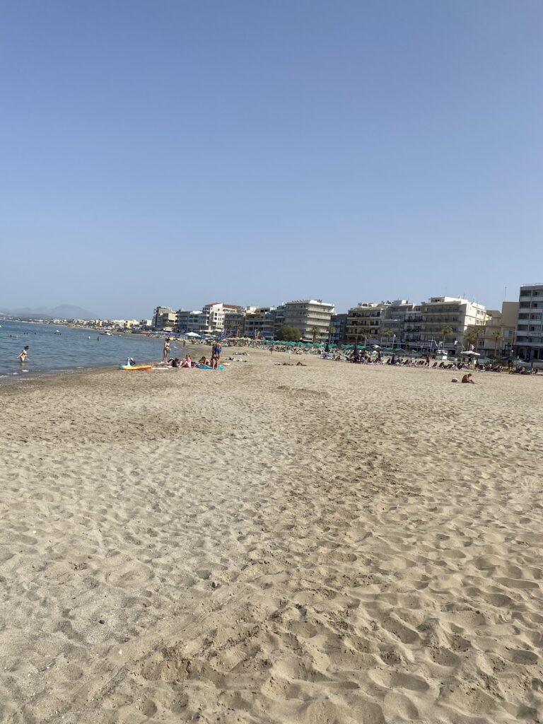
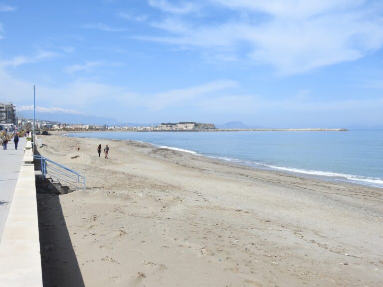
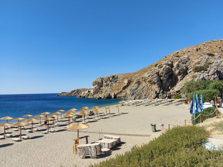
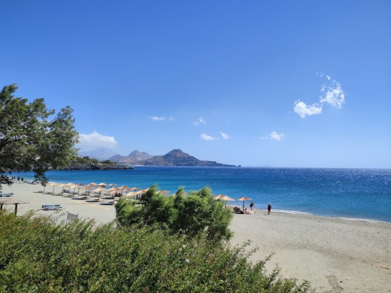
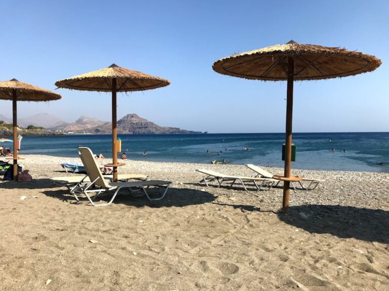
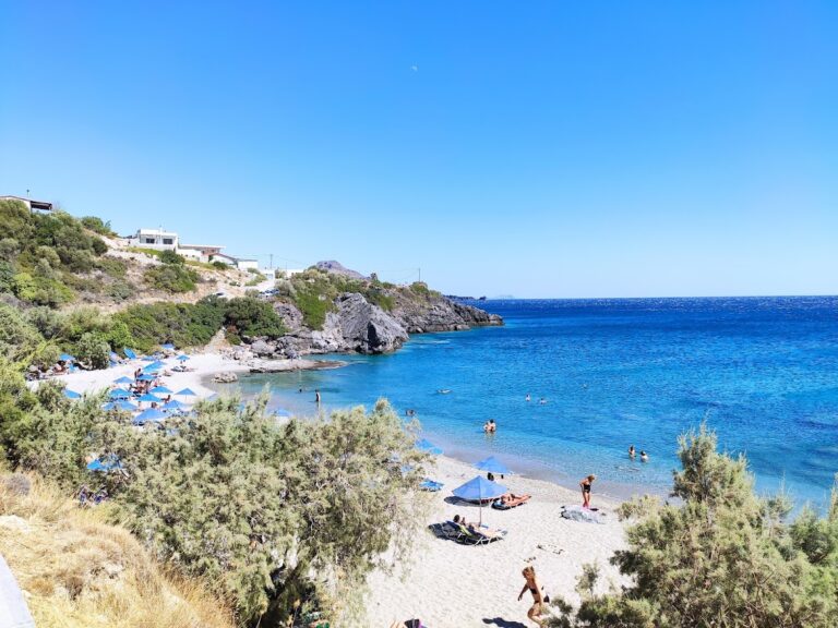
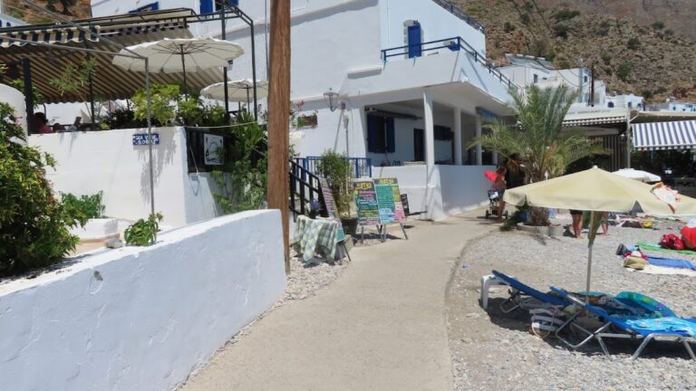
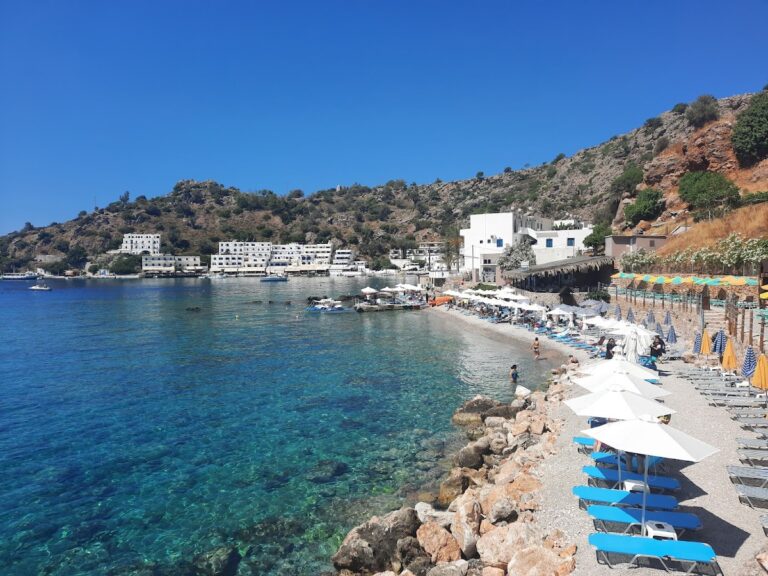
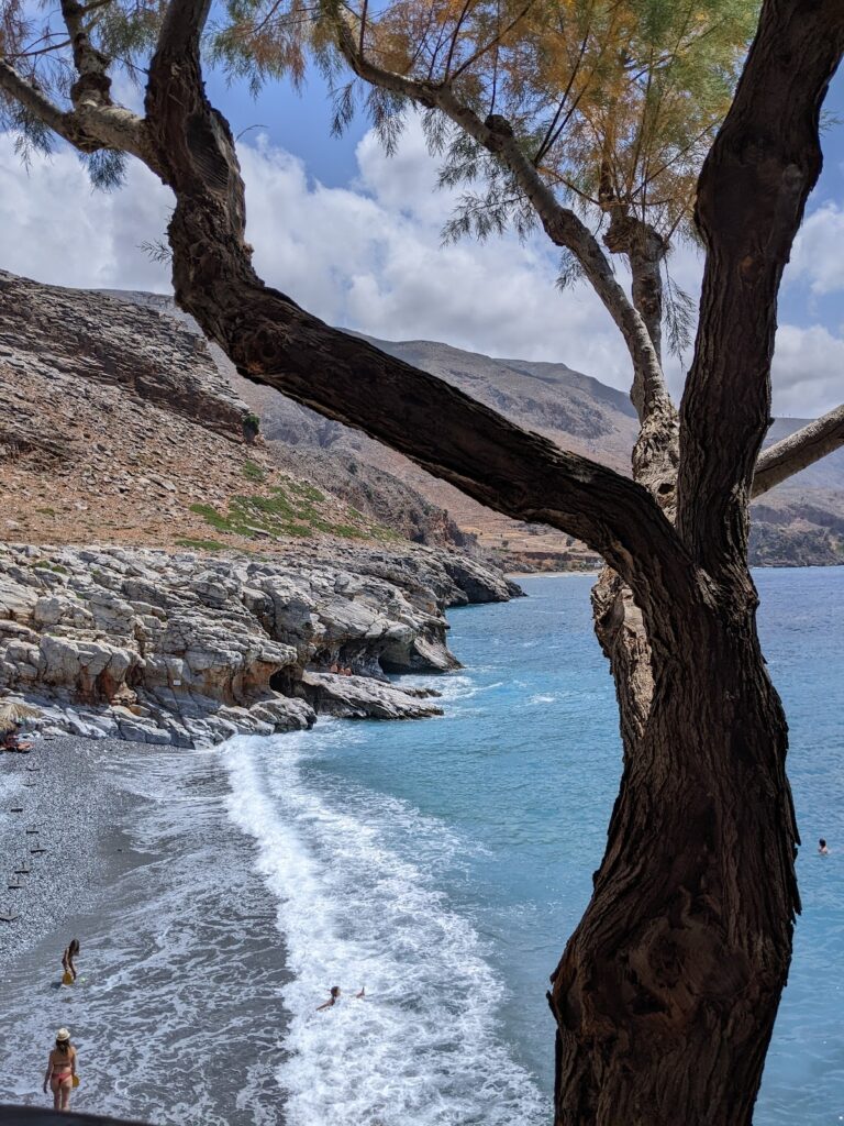
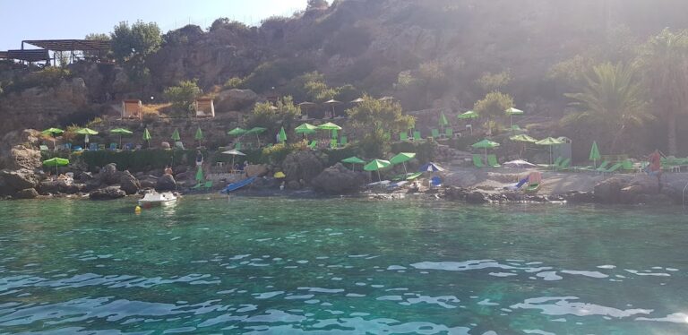
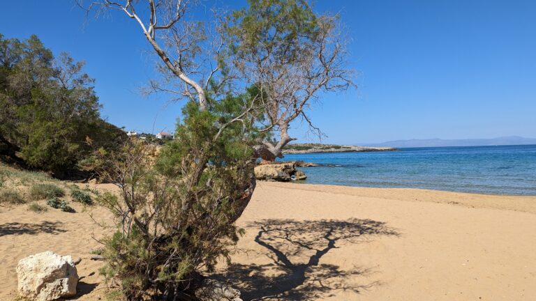
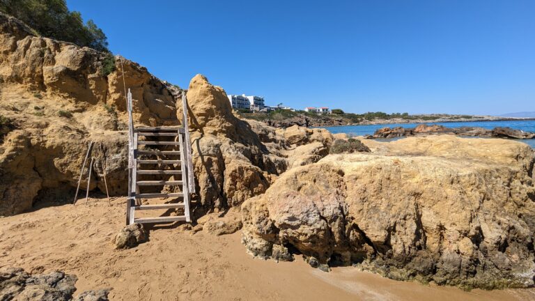
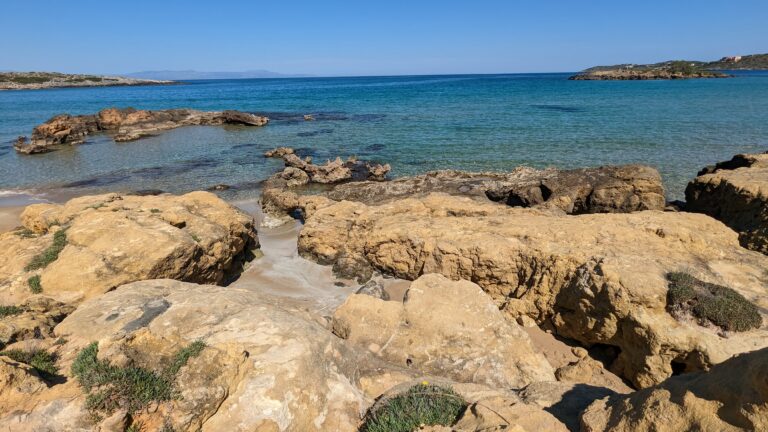
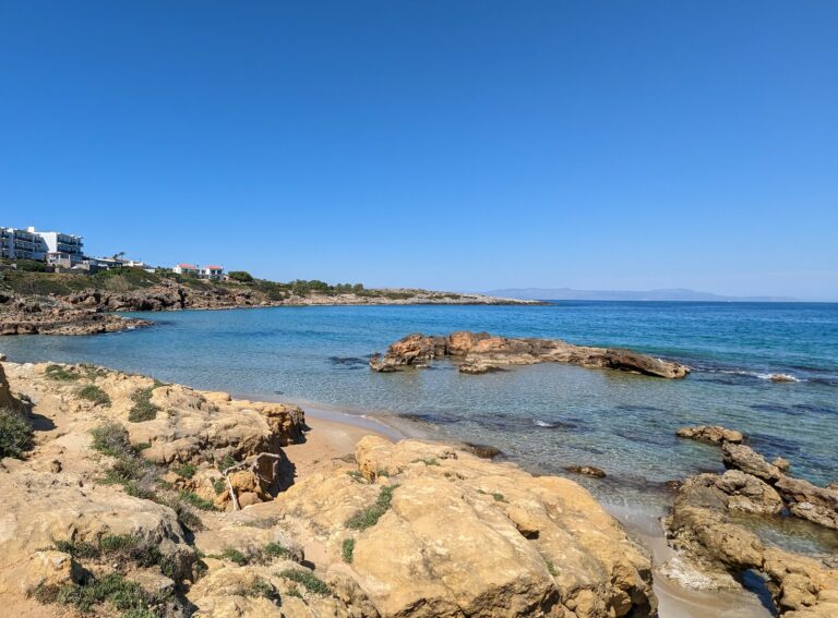
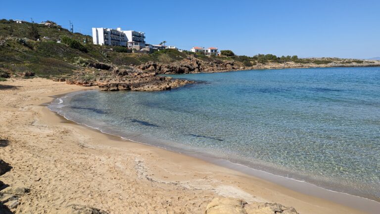
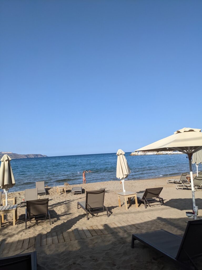
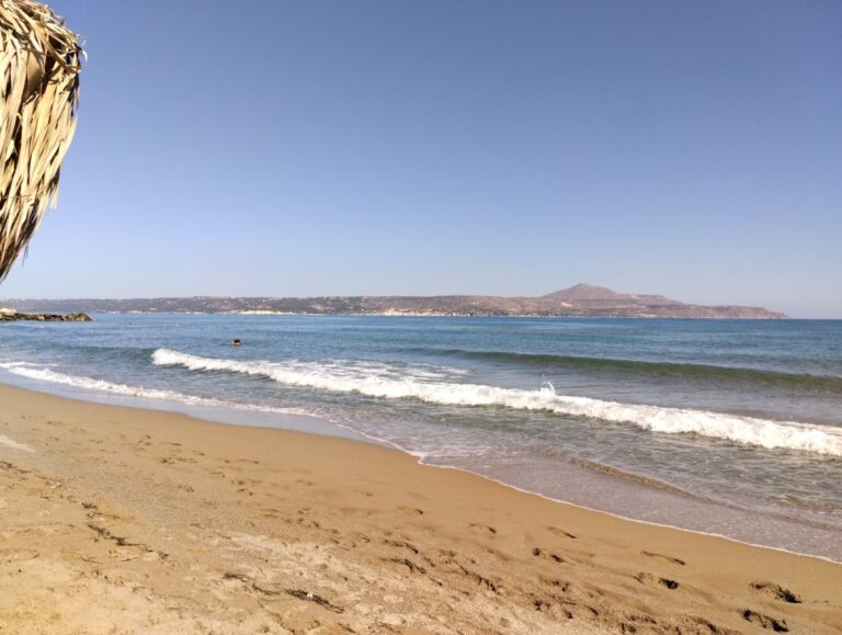
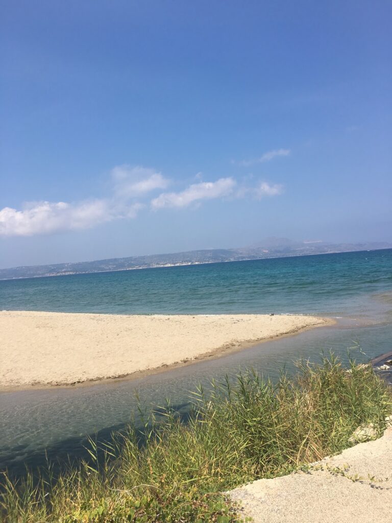
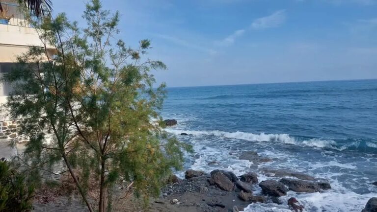
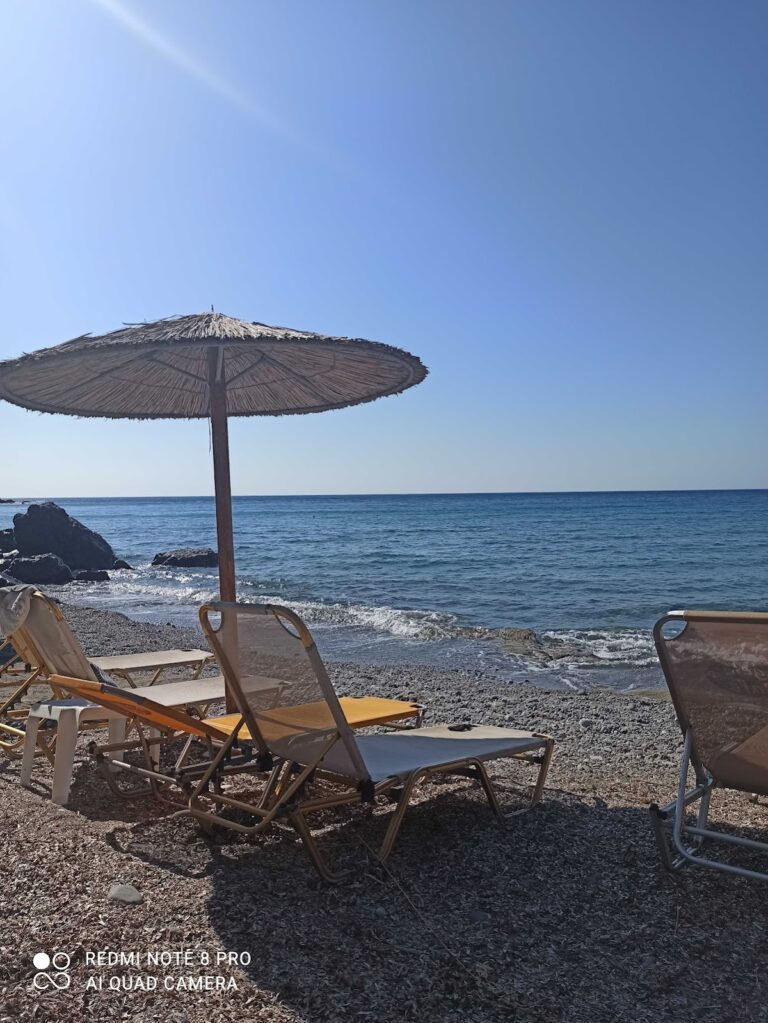
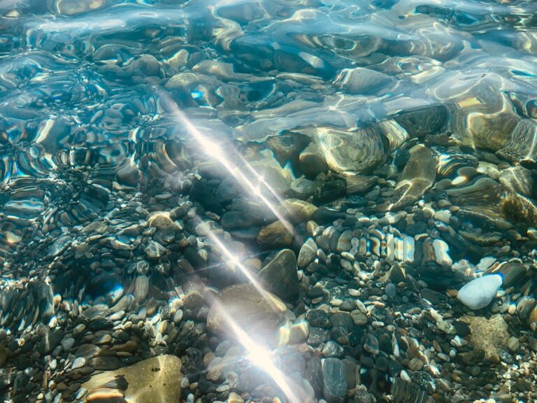
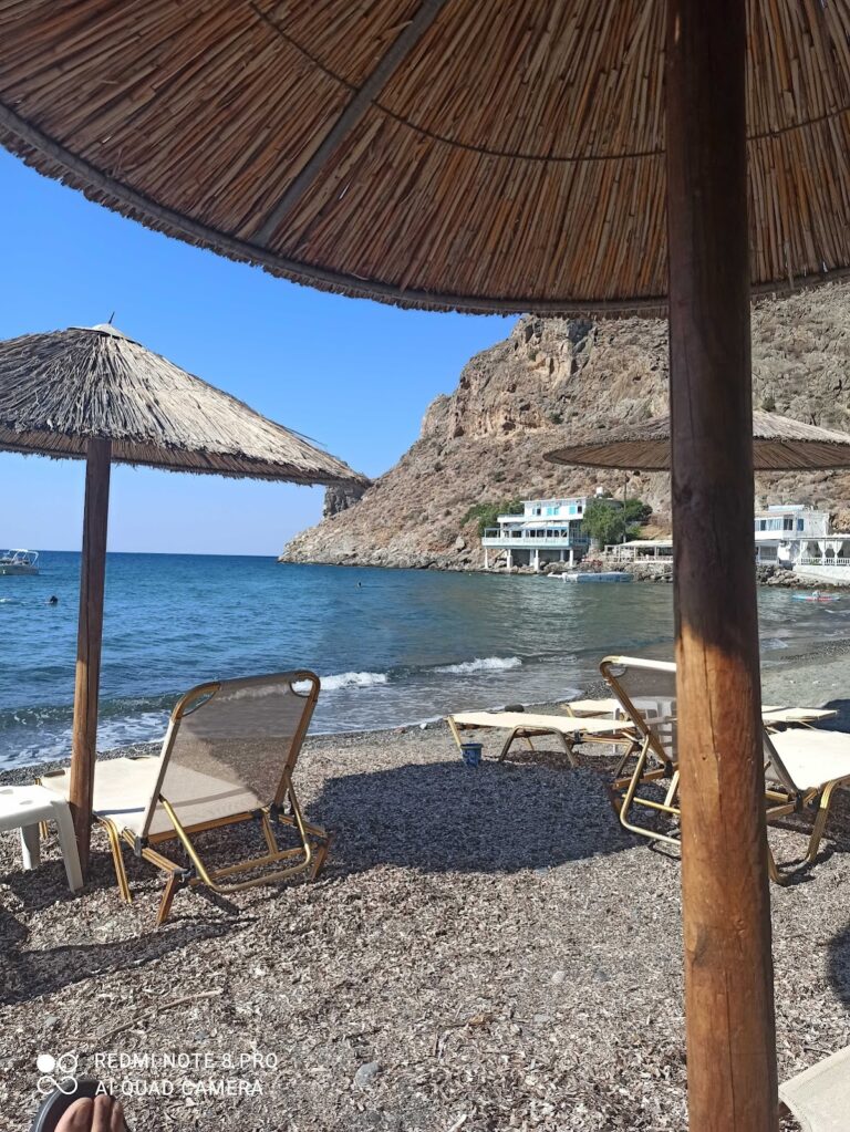
The vicinity is scattered with beaches, popular among naturists. The beach in the village of Lendas, shielded on the east by Cape Psamidomouri and on the west by the renowned Cape Lion, was once the old port of Lendas, which has since been relocated to Loutra. This beach is the busiest in the area with basic amenities such as umbrellas, showers, sunbeds, and water sports. Beyond the beach, numerous taverns and rental rooms are available. The beach’s trademark is its ducks that wander freely. Additionally, the endangered loggerhead sea turtle lays its eggs on Lendas beach between May and September. For those seeking solitude, the secluded beaches of Dyskos and Loutra are ideal.

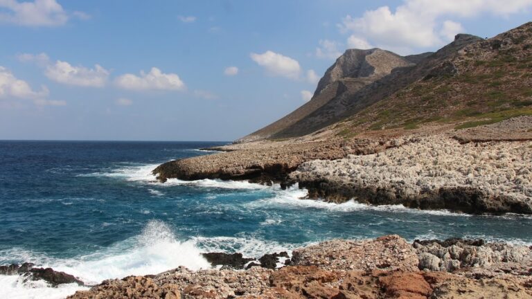
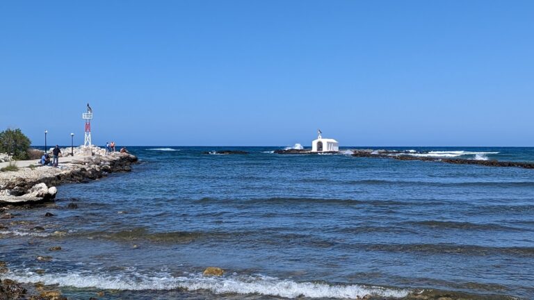
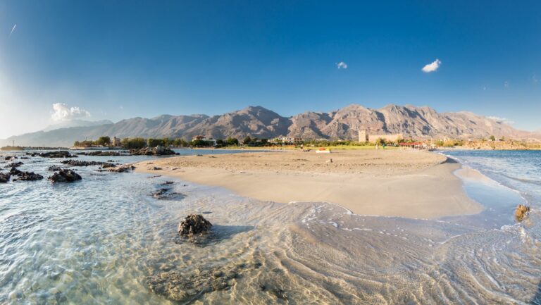
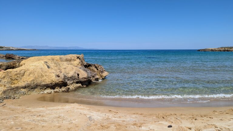
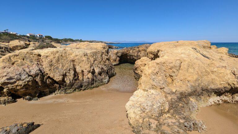
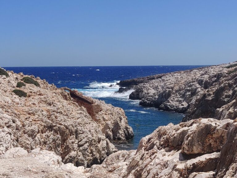
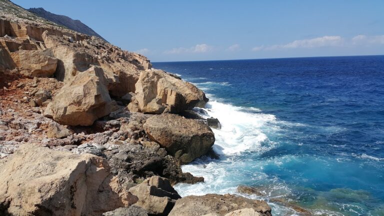
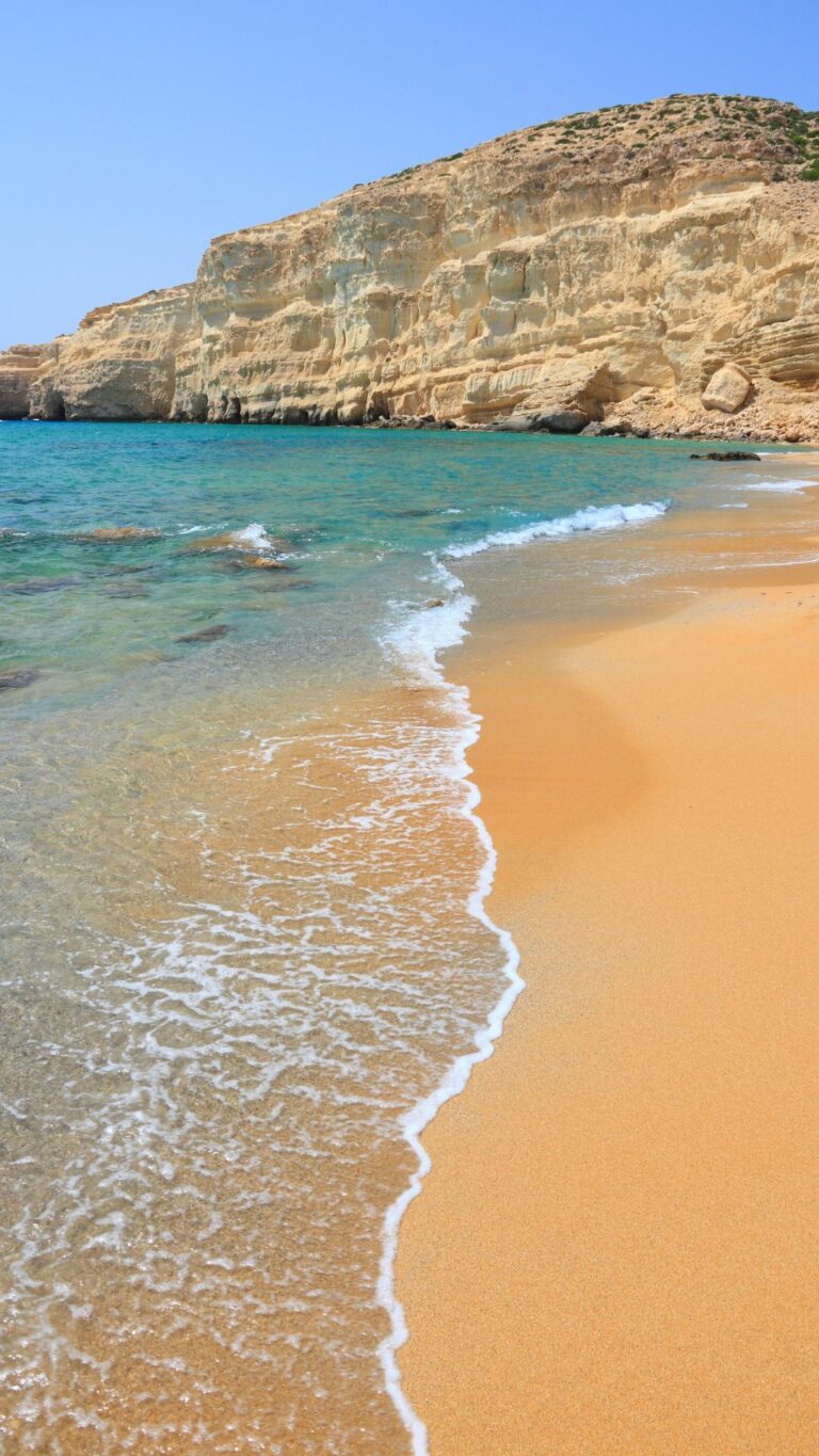
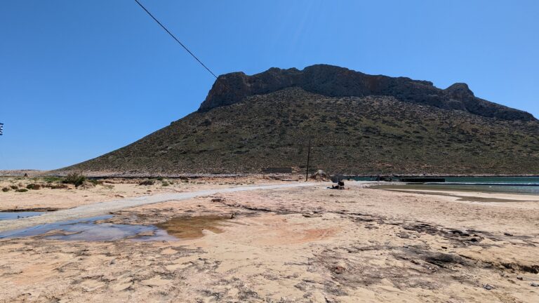
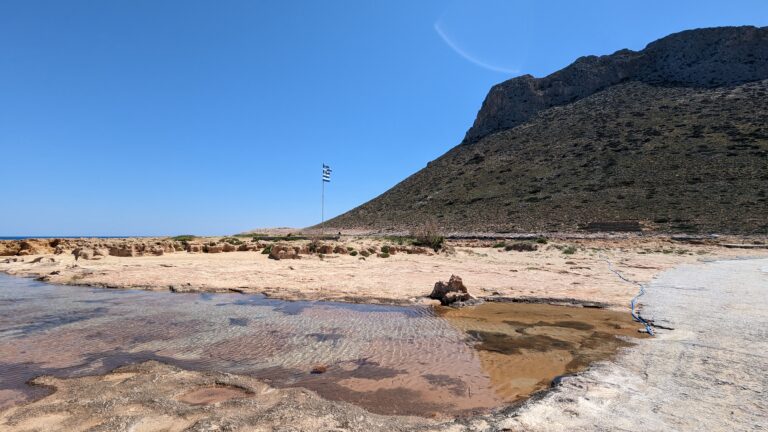
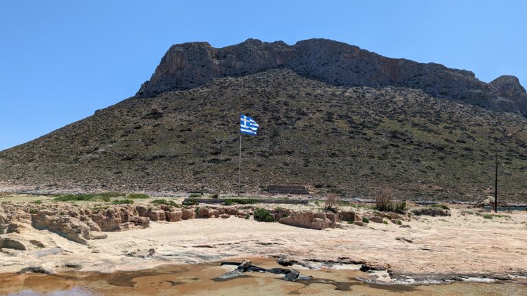
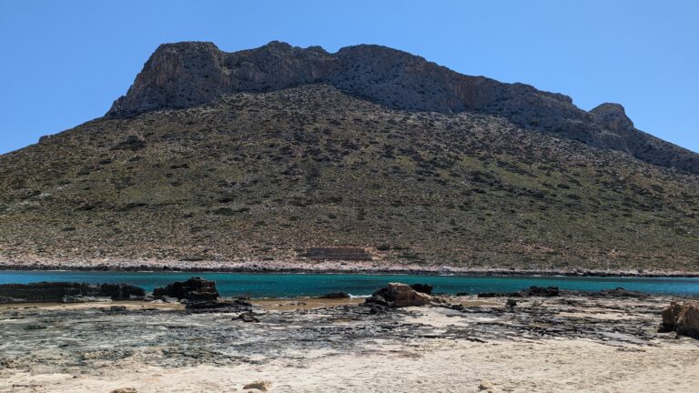
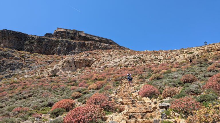
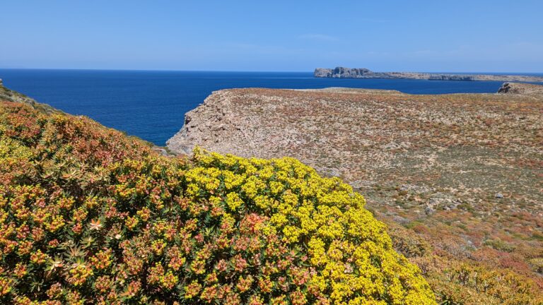
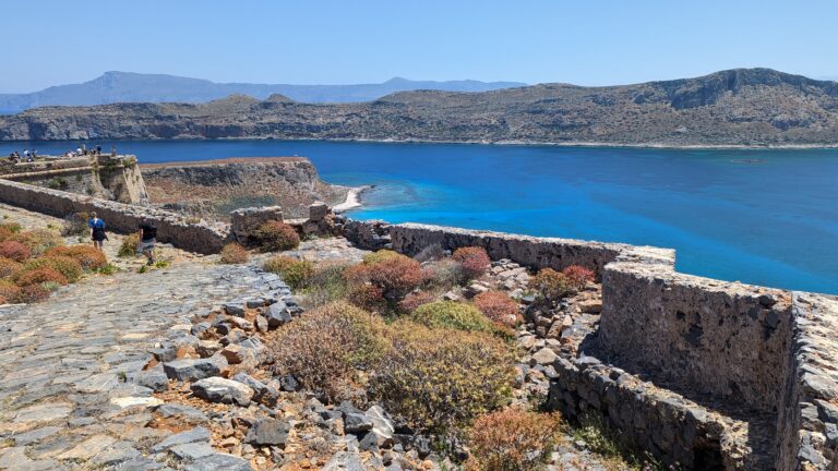
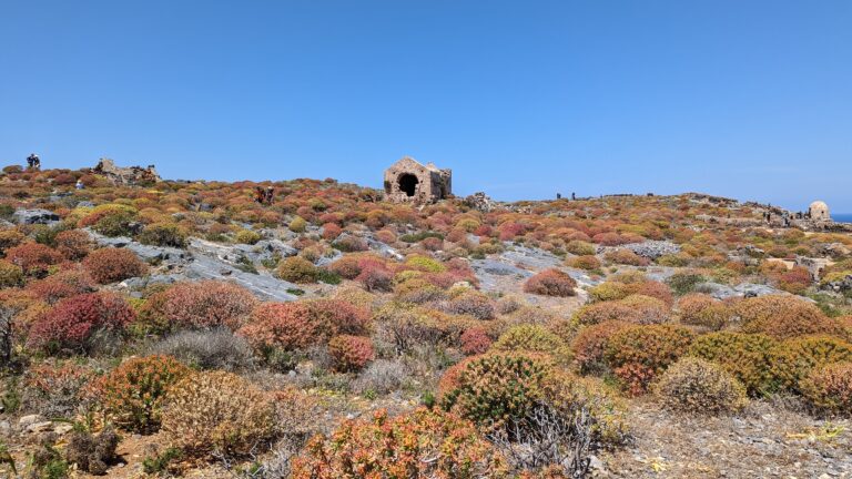
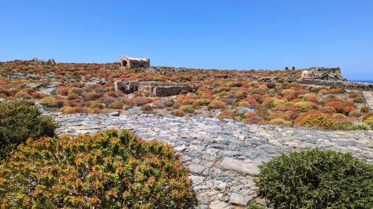
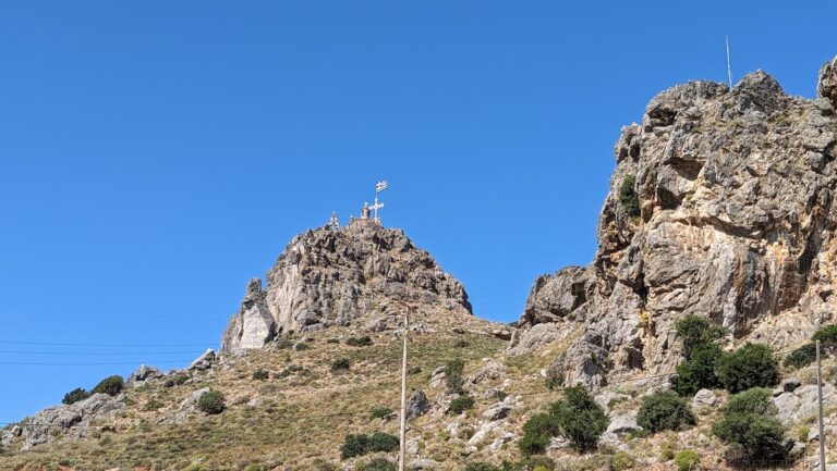
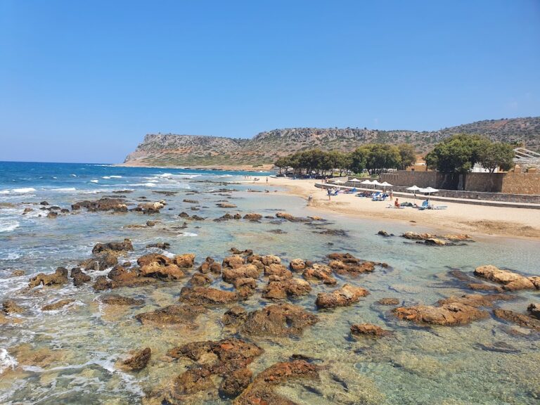
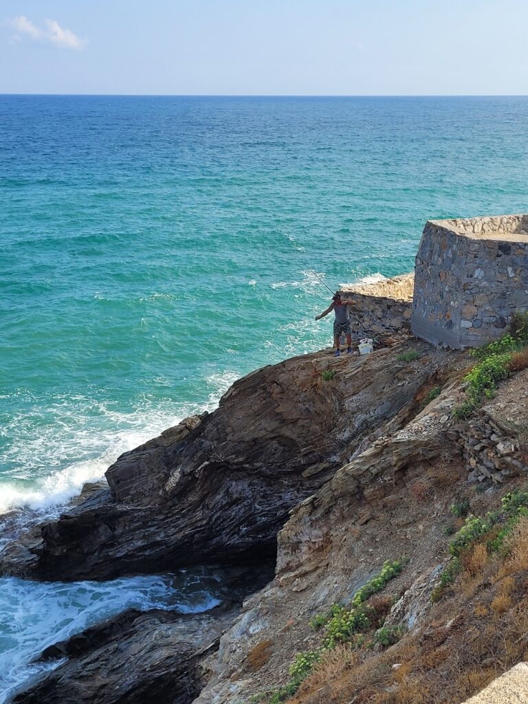
Lendas is established on the site of the ancient city Levina, a name believed to be derived from the Phoenician “Lavi” meaning Lion. A lion-like cape located west of the village supports this belief. Legend says this lion was one of the lions pulling goddess Rhea’s chariot and was turned into stone at this location. Another theory suggests the name originates from the Phoenician word “levina”, meaning white, describing the whitish hue of the local rocks. The modern name Lendas is derived from the Greek word “Leondas” meaning lion. This cape, also known as Lion, is an archaeological site that can be visited by a short 15-minute walk to its peak, where you can enjoy a beautiful sunset. Archaeologists have uncovered evidence of early Minoan graves and a settlement, which had ties with Egypt. The ancient city of Levina prospered in the Hellenistic and Roman era, serving as a port for Gortys, the most powerful town in Crete at the time.

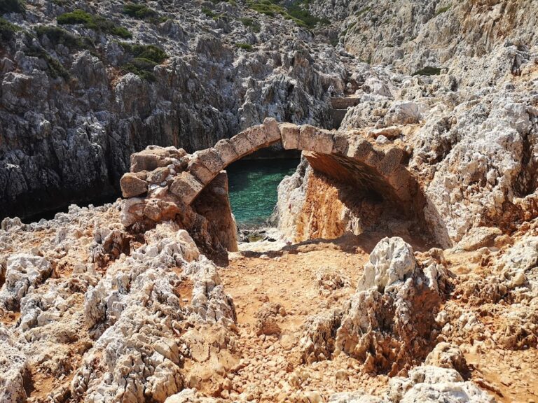
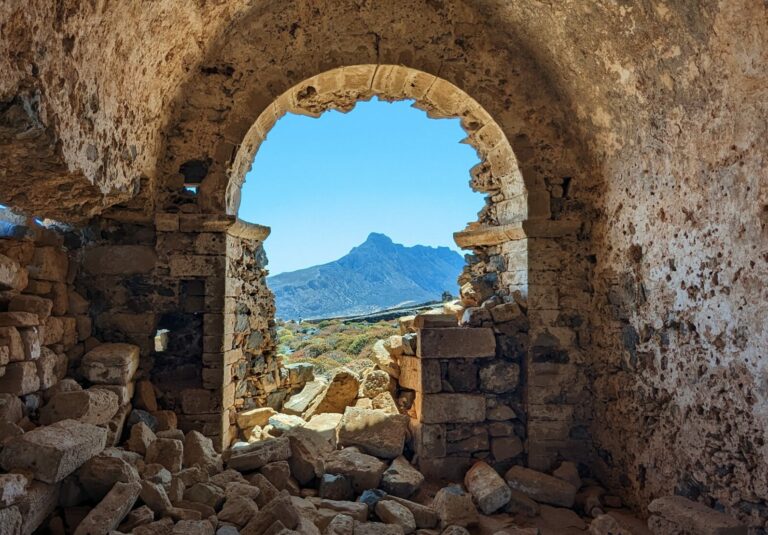
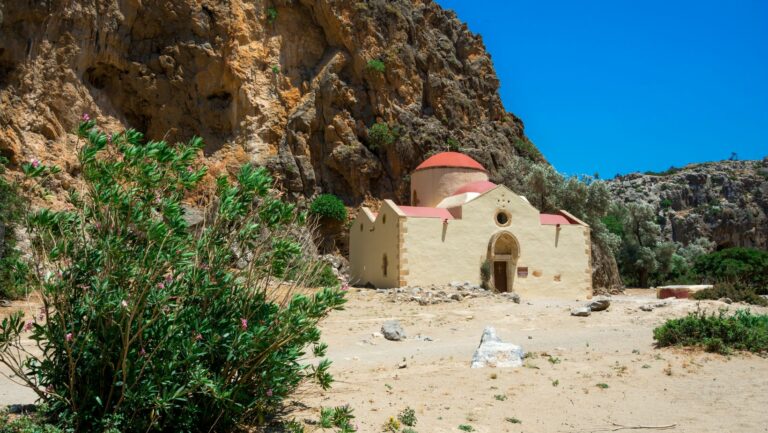
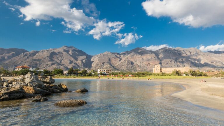
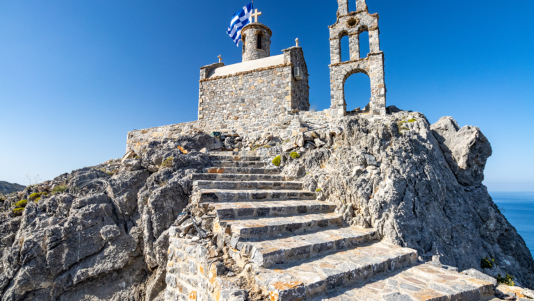
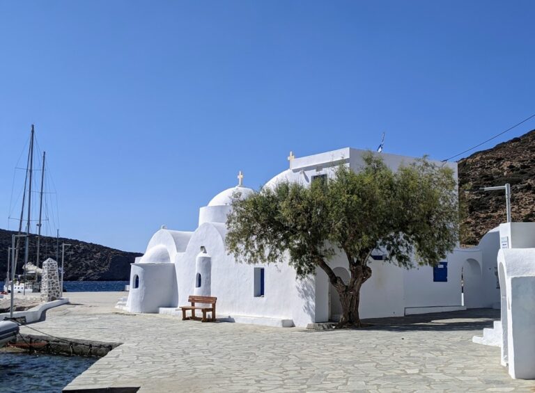
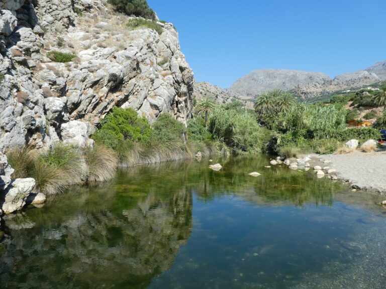
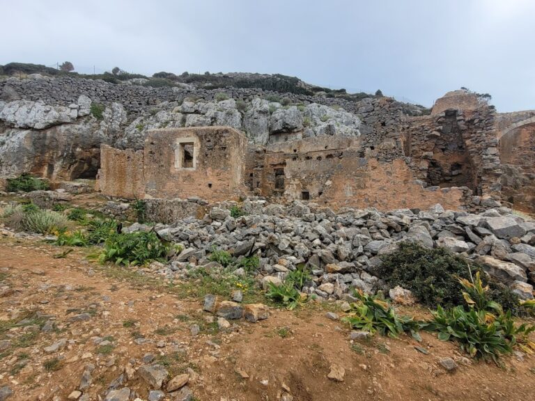
East of Lentas, a spring with supposed healing properties can be found. Even today, studies suggest the water aids in healing stomach, blood, and bleeding disorders. Consequently, a massive temple dedicated to the divine doctor Asclepius and Hygeia Sotira was built in the 4th century AC. This temple gained fame as a center for hydrotherapy, physiotherapy, and psychiatry, attracting patients from distant places, such as Libya. Remnants of the temple, a Byzantine church dedicated to Agios Ioannis Theologos, and Roman baths can still be found in the area. Levina was presumably abandoned in the 7th-8th century due to frequent pirate attacks.

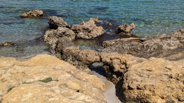
East of the village, opposite the Psamidomouri Cape, a rock resembling a crouching elephant can be seen, with another beach formed opposite the rock. Further on, Cape Trafoulas bears a resemblance to a crocodile from Lendas. According to a local legend, Cleopatra once visited Lendas with her favorite animals, namely a lion, a crocodile, and an elephant. She was so enchanted by the place that she left her animals behind when she returned to Egypt. To this day, these “animals” remain there, patiently waiting for Cleopatra’s return.

© All rights reserved. Crete Locals