Beaches near Kournás, in Chania region

Here is list of closest beaches to Kournás

  • 4.4 km
  • Kavros beach at Kournas
  • Sand
  • Shallow
  • Blue

Located between Georgioupoli and Pyrgos, Kavros refers to the expansive beach situated just 4 km east of Georgioupoli, near the hotel bearing the same name. Though the area has experienced substantial tourist development, it’s somewhat less commercialized compared to the adjacent Georgioupolis. Kavros beach is a sandy stretch with transparent, shallow waters; however, its openness to the wind often results in notable wave activity. The beach provides several facilities for visitors, including an array of restaurants, cafes, and bars, making it a perfect spot for an all-day excursion. For those seeking tranquillity, parts of the beach remain unorganized, offering a more serene experience.

The place at its greatest part is developed and only a very small part of it has been left untouched. Between the remaining virgin parts of the beach, there is an extensive and very important ecosystem of dunes. The dunes of Kavros, like all dunes, host a significant and very fragile ecosystem that is home to its own plants. The most important role of the dunes in Crete is that they protect the inner lands from erosion. In the area, in winter we meet small ponds and the landscape is quite different from the summer.

  • 5.6 km
  • Episkopi beach
  • Rocks in places, Sand
  • Shallow
  • Blue

The Episkopi beach, nestled 45km east of Chania and 14km west of Rethymnon, is a charming locale situated in a fertile valley with sprawling lowlands. It borrowed its name from the nearby village, Episkopi, which lies 2km south. Although the place is not widely known among Greeks, the Vardinoyannis family, one of Greece’s wealthiest business families, traces their origins to here.

The beach stretches for 3.5km and is flanked by the Mouselas river on the west and the river flowing through the Petres gorge and beaches on the west. Characteristic of most North Crete beaches, Episkopi is sandy, shallow, and typically wavy. It is well-equipped with numerous hotels, eateries, taverns, bars, and all necessary amenities. The western section of the beach offers lifeguard services, showers, changing rooms, umbrellas, snack bars, water sports, and more. However, due to its considerable length, one can also find quieter spots, especially towards the eastern end near the Petres bridge.

Rethymno and Chania are connected by a main road running parallel to the beach, making access easy either by car or bus. Regular bus services operate from Chania and Rethymno cities. Accommodation options are available in either the local region or in the village of Episkopi. Nearby attractions include the village of Argiroupolis, known for its springs and lush greenery, and Lake Kournas. Episkopi, translating to Diocese in Greek, was indeed the area’s Diocese during the Byzantine Period. However, the ancient Episcopal church of St. Nicholas is now in ruins.

  • 6.3 km
  • Georgioupolis beaches
  • Sand
  • Shallow
  • Blue

Georgioupolis, a small coastal town located 38km east of Chania and 21km west of Rethymnon, is a seaside resort nestled in a verdant valley crisscrossed by rivers and springs. Situated on the western edge of a sprawling 10km beach, the town’s beach spans 2km to the east, beginning at the Almiros river and terminating at Kavros beach, a natural continuation of the former. The beach in Georgioupolis is sandy, dotted with dunes, and has shallow waters.

The beach is well-maintained and child-friendly, with lifeguards on duty. Caution is advised during windy conditions due to sea currents. Amenities such as umbrellas, showers, and food and drink stalls are available for beachgoers. Approximately 700m east of the port, the Perastikos river bifurcates the beach, which then widens as it continues eastward. On the opposite end, west of Georgioupolis’s port and near the Almyros river’s exit, lies the picturesque Kalivaki beach.

  • 6.9 km
  • Kalivaki beach at Georgioupolis
  • Sand
  • Shallow
  • Blue

Located 38km east of Chania and 21km west of Rethymnon, Kalivaki is the furthest beach to the west in the bay of Georgioupolis. Nestled near the exit of the Almyros and Boutakas rivers, which maintain a steady flow of water year-round, Kalivaki is a gorgeous sandy beach. The water here is particularly cool, owing to the influence of the rivers and freshwater springs. Kalivaki is a well-appointed beach, complete with umbrellas, water sports facilities, and nearby restaurants. Its protective positioning relative to the other Georgioupolis beaches makes it an excellent choice for children, especially on windy days.

  • 7.2 km
  • Petres beach
  • Rocks in places, Sand
  • Shallow
  • Blue

Situated at the eastern edge of the expansive Episkopi beachfront, Petres beach, or Stones beach, is a 46km journey east from Chania and 13km west from Rethymnon. The beach owes its name to the majestic Petres Gorge that concludes at this point. The area is dotted with facilities such as accommodations, eateries, and even a diving school. The Vythos cove, positioned north of the other areas, offers umbrellas and a less sandy terrain. The rocky underwater landscape makes it a hotspot for fishing and snorkelling. However, the frequent northern winds can cause the sea to become wavy.

  • 11.1 km
  • Kamari beach
  • Rocks in places, Sand
  • Normal
  • Blue

Kamari Beach is situated roughly 7km west of Rethymnon, close to Gerani village, at the entrance of Vederi Gorge. The coastal highway linking Chania and Rethymnon runs adjacent to the beach and over the Gerani bridge.

The beach is relatively compact, featuring pebbles and rocks in certain areas, making it a favourite among snorkelers. Despite being exposed to frequent northerly winds, it offers some amenities such as a few umbrellas, taverns, and rooms. Additionally, a quaint harbour and the charming Panagia Kamariani church can be found nearby.

A short distance south of the beach, one can find the sealed entrance to the Gerani cave, a significant archaeological site in central Crete, discovered unexpectedly during the construction of the main road. Moreover, visitors can explore the scenic narrow streets of Gerani village and visit the St George church along with several smaller churches.

  • 12.9 km
  • Ombrosgialos bay
  • Rocks in places
  • Deep
  • Deep blue, Green

Ombros Gialos (or Omprosgialos) is located 26km east of Chania, on the east coast of Drapanokefala, near Kefalas and Paleloni villages. It is a rocky beach with blue deep water. There is a small harbour with a dock, from which swimmers usually dive in the crystal waters. Next to the harbour, there is only one tavern, very famous for its fish dishes. The coast is not well organized and is quite far from well-organized accommodation choices. The sea around Ombrosgialos is ideal for snorkelers and scuba divers.

Ombrosgialos can be accessed by car through the asphalt road that starts from Paleloni. Though, another way is to come here by private boat from any nearby port, such as Georgioupolis or Kalives.

  • 14.0 km
  • Klimata beach
  • Fine Pebbles, Rocks in places
  • Normal
  • Blue

Klimata, known for its vines, is a 45km journey south from the city of Rethymno, situated next to the popular Korakas beach, close to Rodakino village. Korakas and Klimata are divided by a brief, rocky cape. Klimata is a petite bay consisting of three sequential beaches. Rodakino’s small harbour is found on the bay’s west side, reachable via a cement-paved path that starts from Korakas. From here, the first beach is easily accessible, positioned just beside the harbour. To get to the other two beaches, one can either walk through the first beach or take the dust road that links Korakas to Souda beach in Plakias.

Klimata is not organised in any way, with only Korakas beach being so. All three beaches are known for their fine pebbles and transparent waters. In certain areas, the rocky sea floor is ideal for snorkelling. It’s likely that these beaches will be deserted, except for a handful of privacy enthusiasts or naturists. Klimata, meaning vines, is named after the vineyards that were once grown on the nearby slopes.

  • 14.2 km
  • Korakas beach
  • Fine Pebbles, Rocks in places
  • Normal
  • Blue

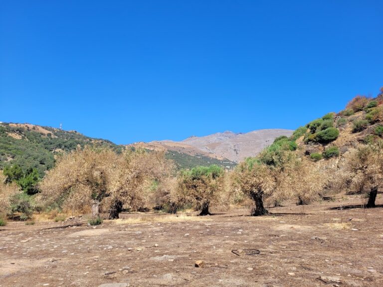
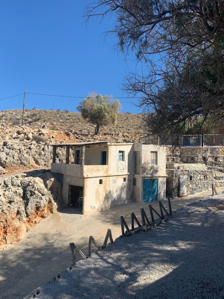
Situated 45km southeast of the city of Rethymno, right on the edge of the steep Rodakino canyon that cuts through the Kryoneritis mountain, is the village of Rodakino. The village is nestled between the resort of Plakias to the west and Fragokastelo to the east. Rodakino, a traditional Cretan village, spreads on both sides of the gorge, creating two distinct settlements known as Kato and Ano Rodakino. From the village, one can enjoy the stunning views of the azure South Cretan Sea. The village derives its name, which translates to ‘peach’ in Greek, from a peach tree that managed to grow in the region’s arid climate. Some locals, however, believe the gorge was originally named Rikinthos, which over time morphed into Rodakino.

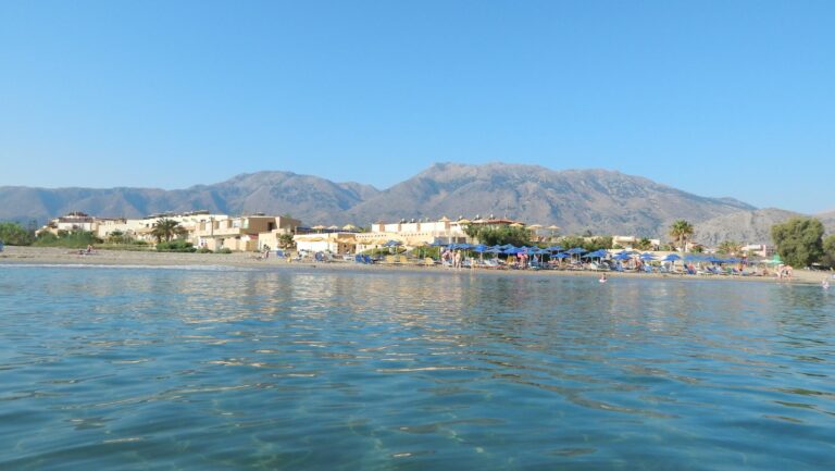
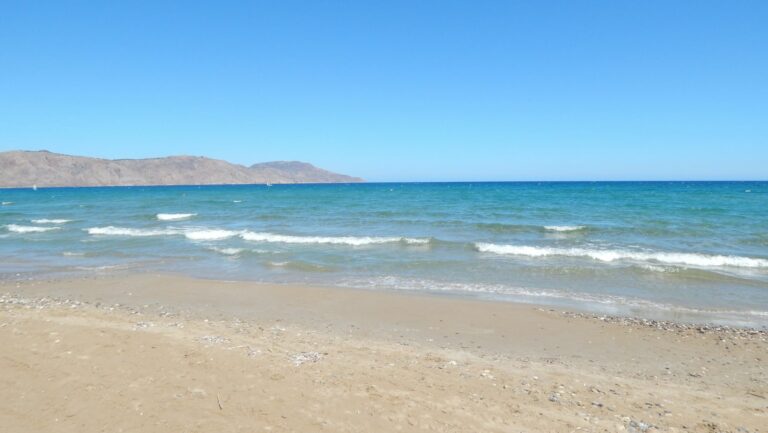
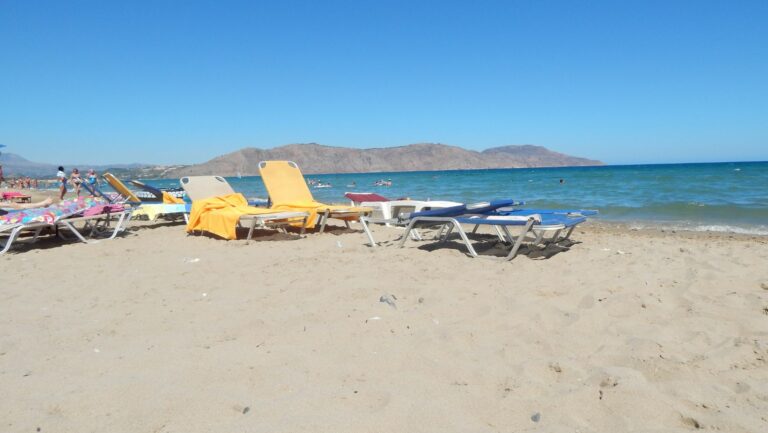
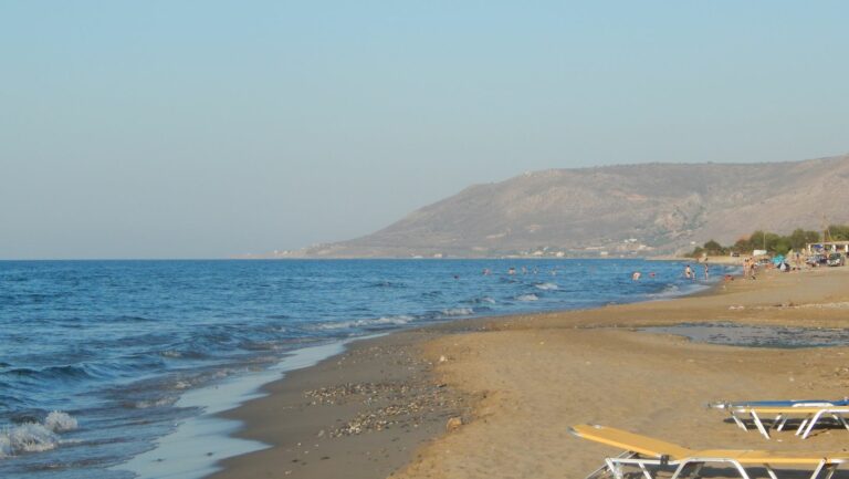
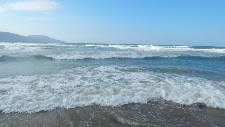
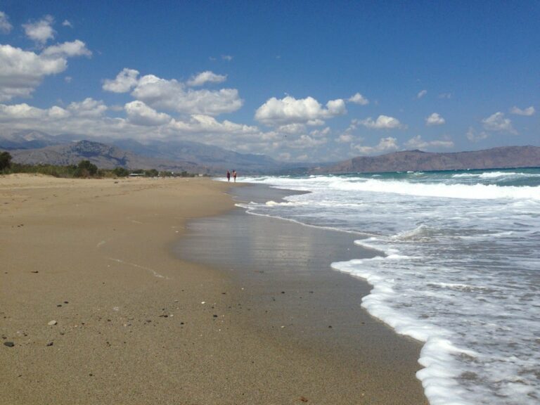
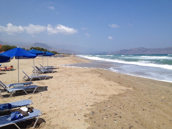
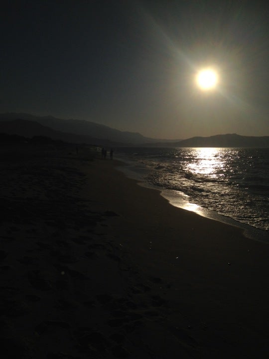
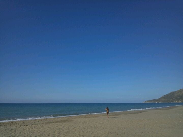
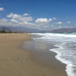
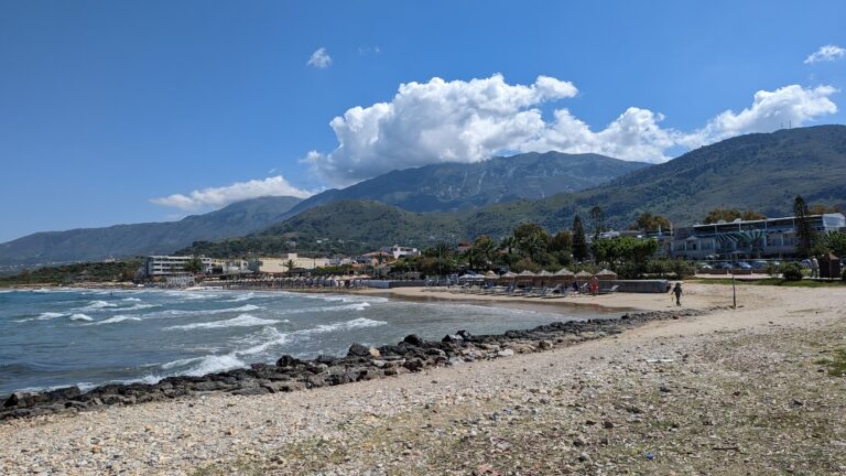
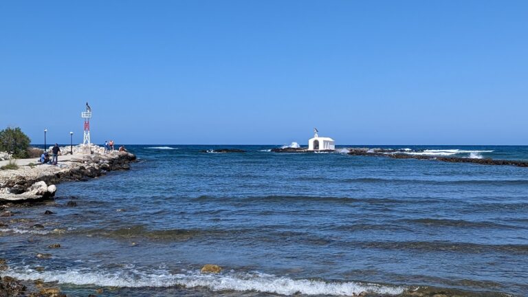
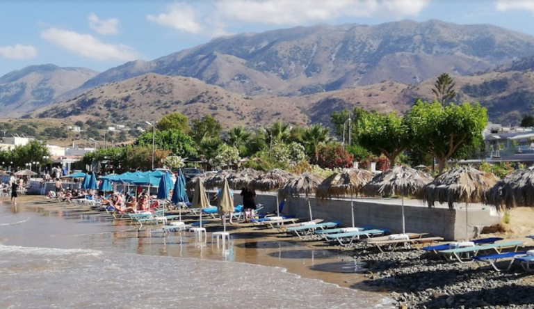
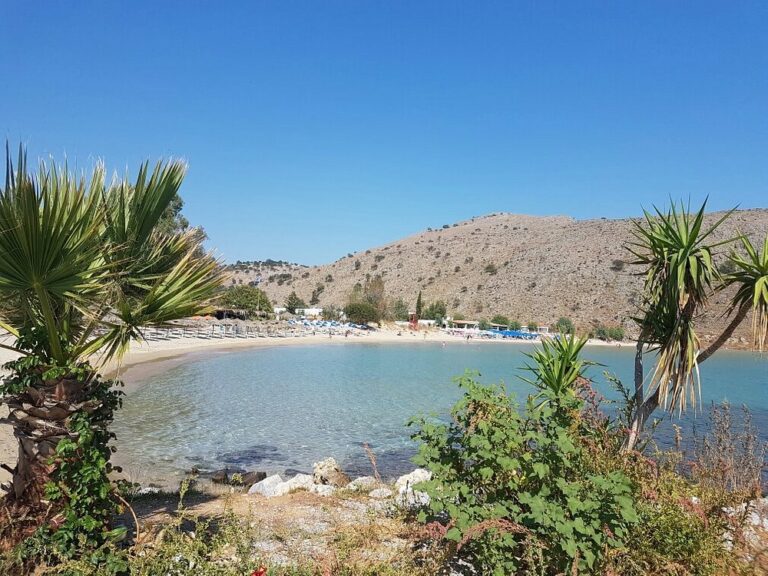
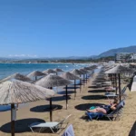
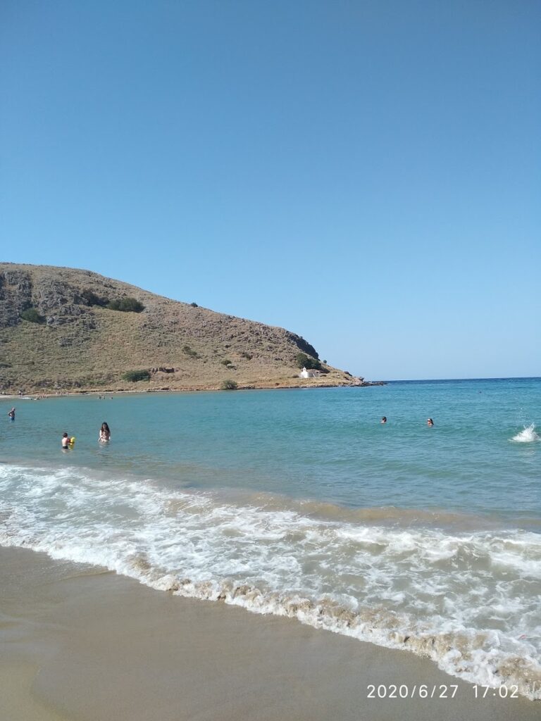
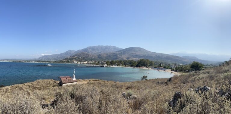
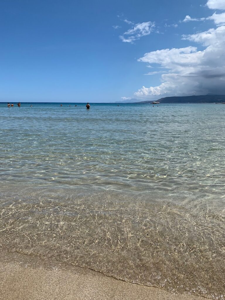
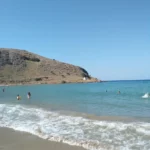
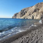
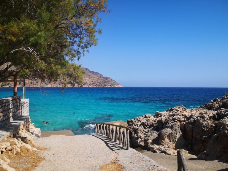
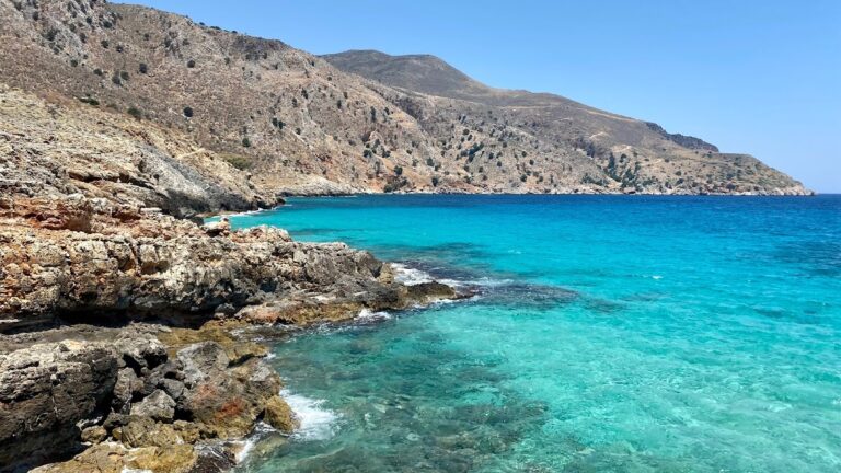
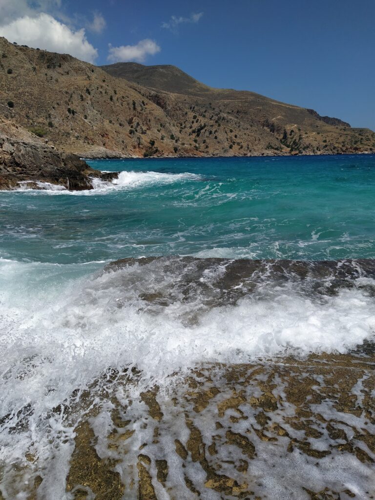
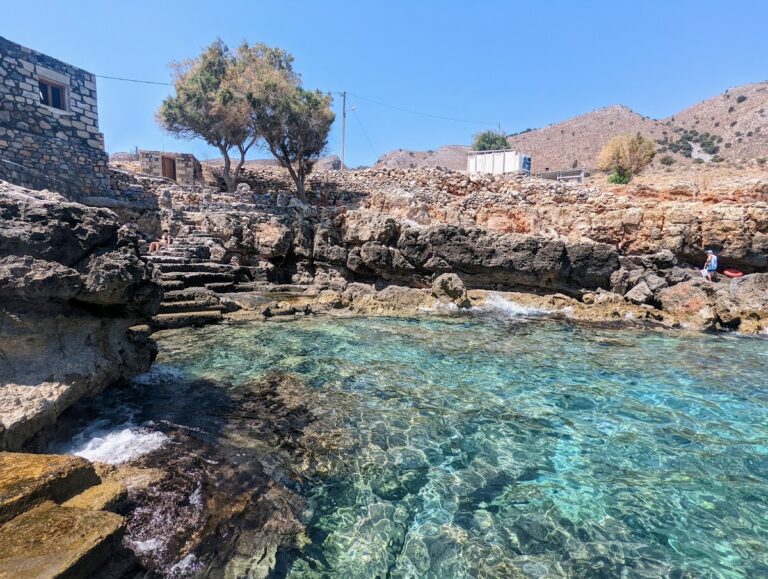
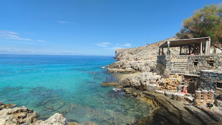
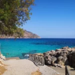
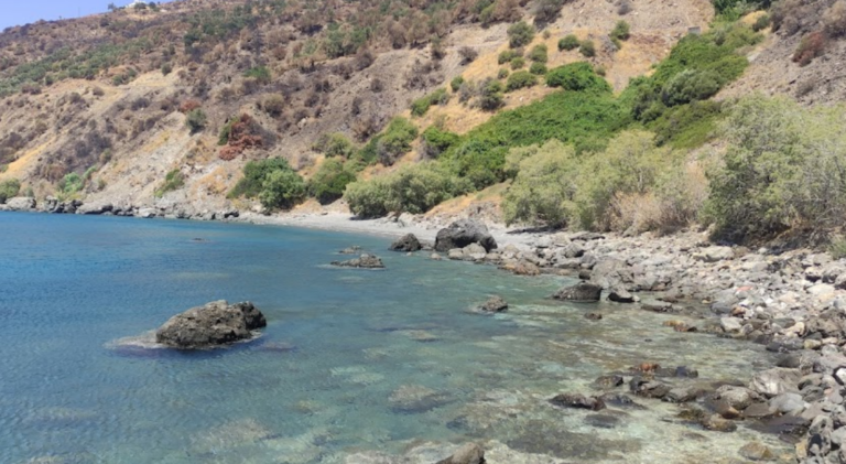
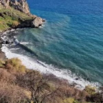
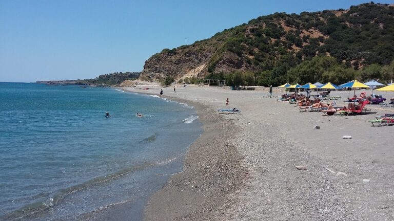
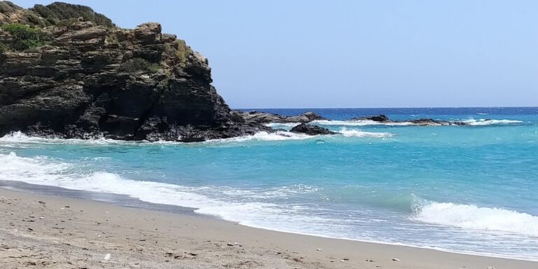
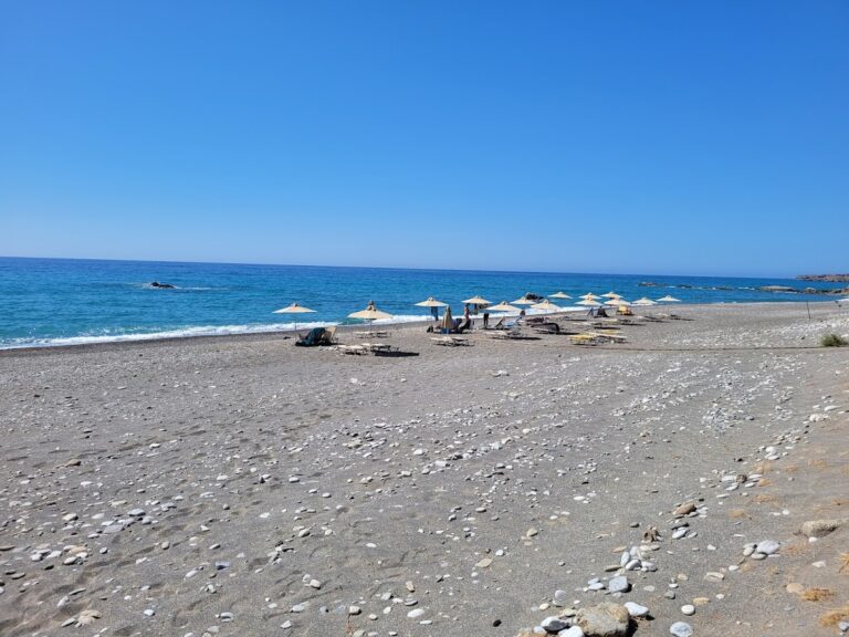
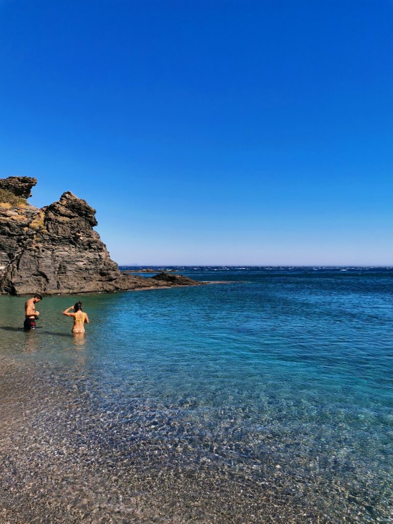
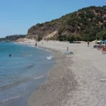
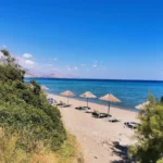
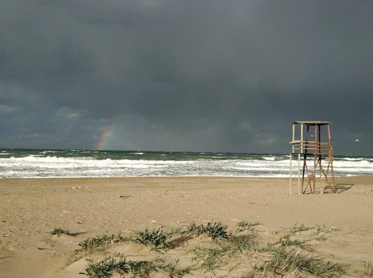
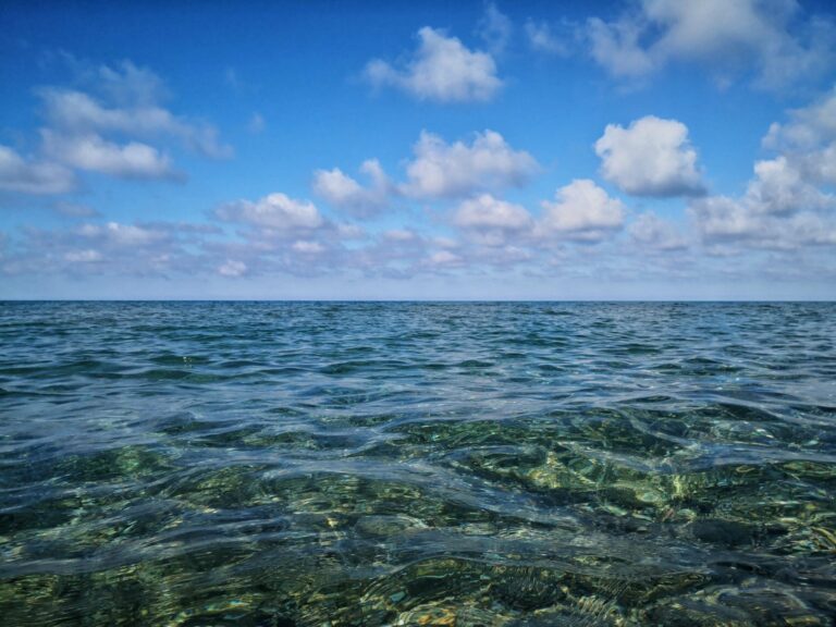
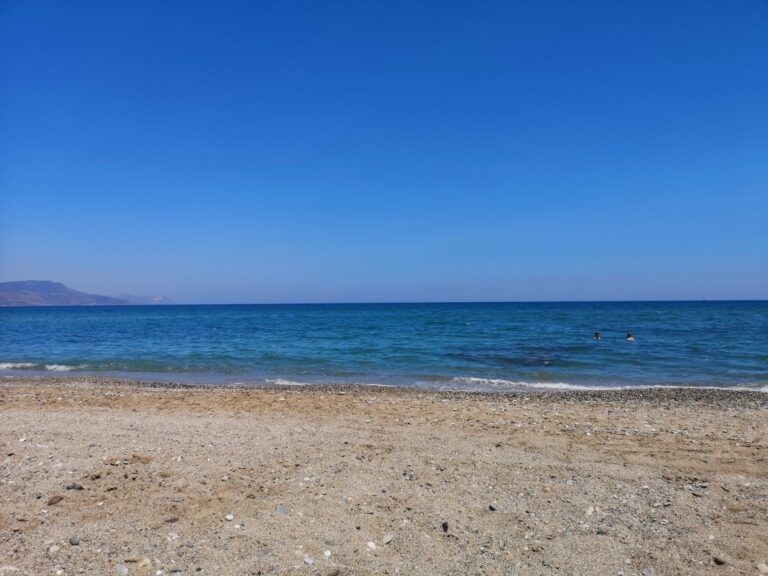
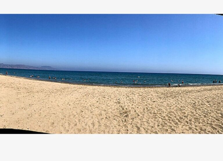
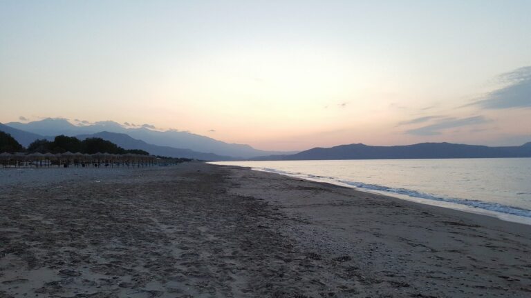
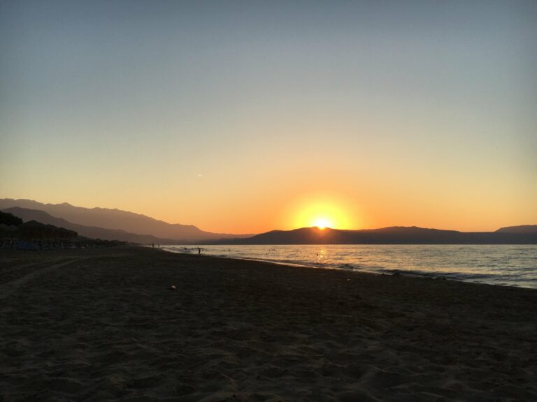
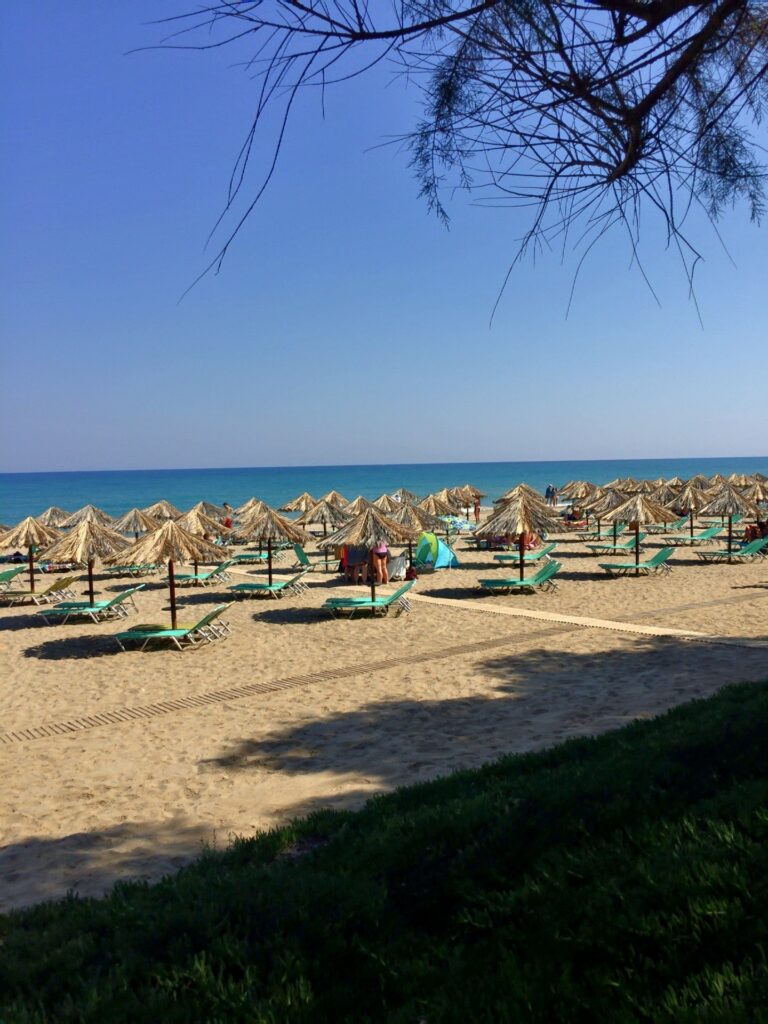
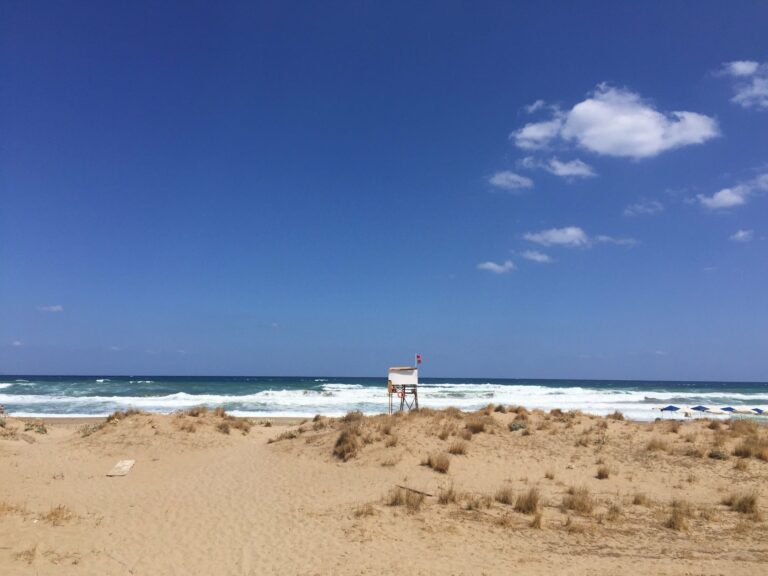
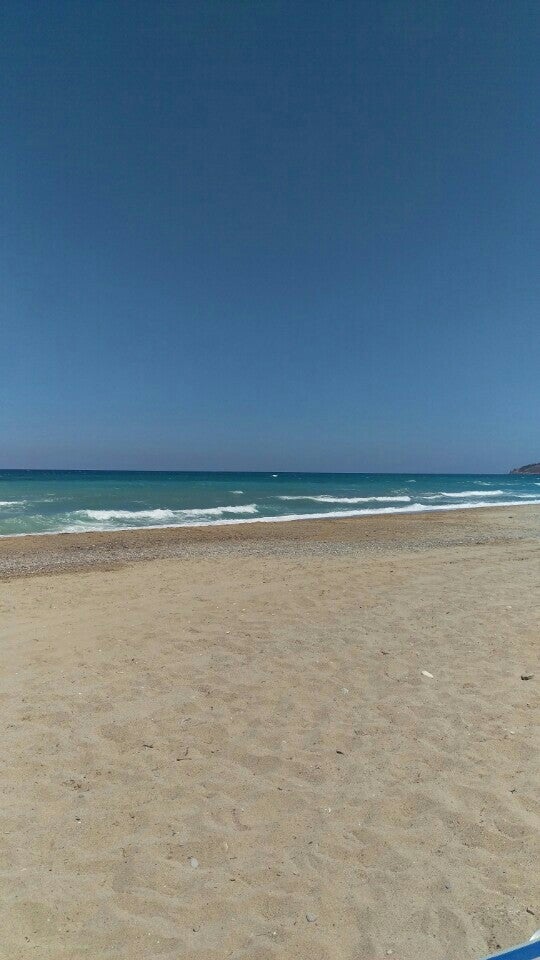
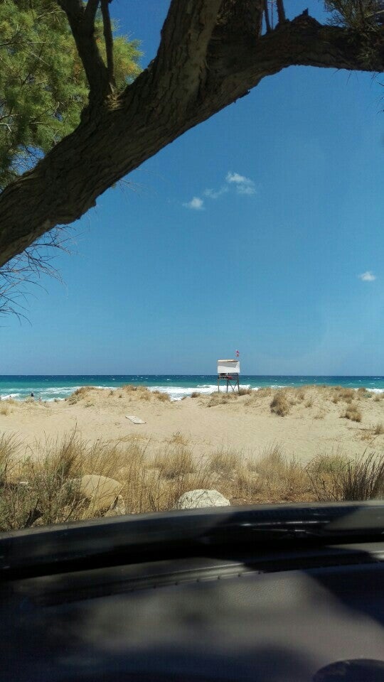
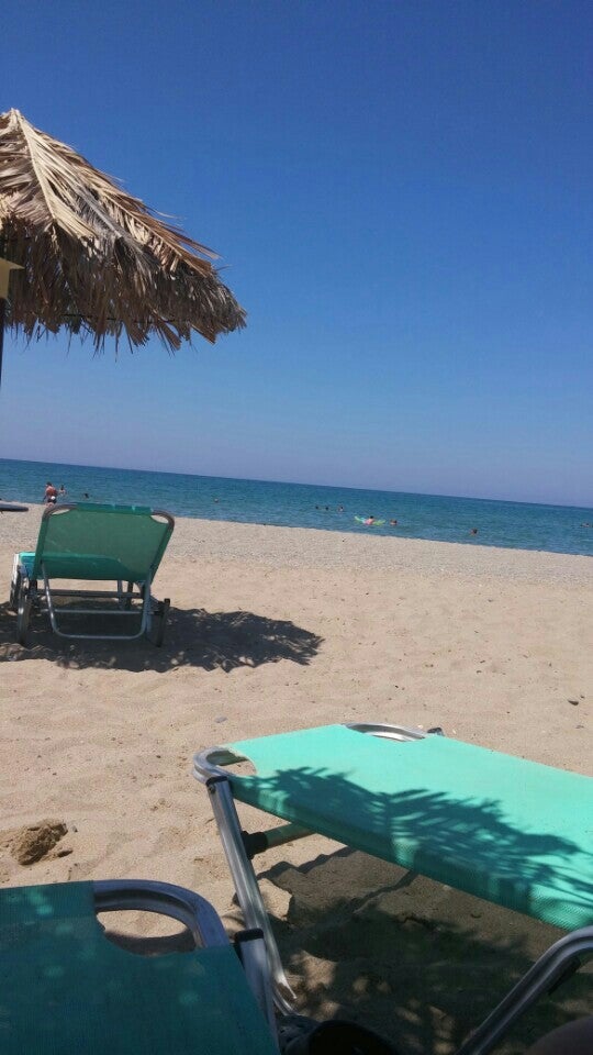
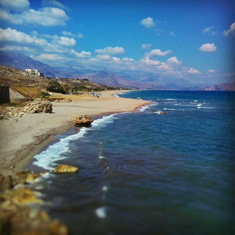
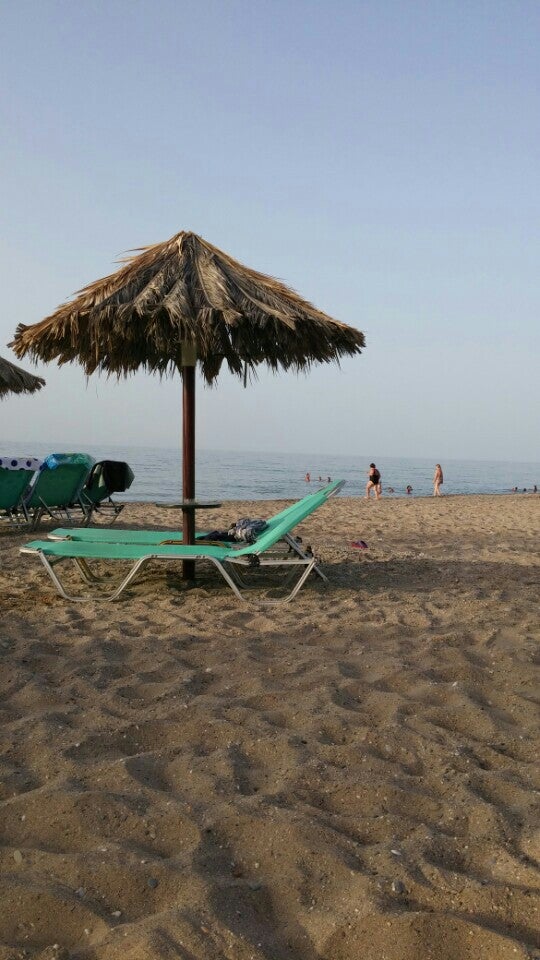
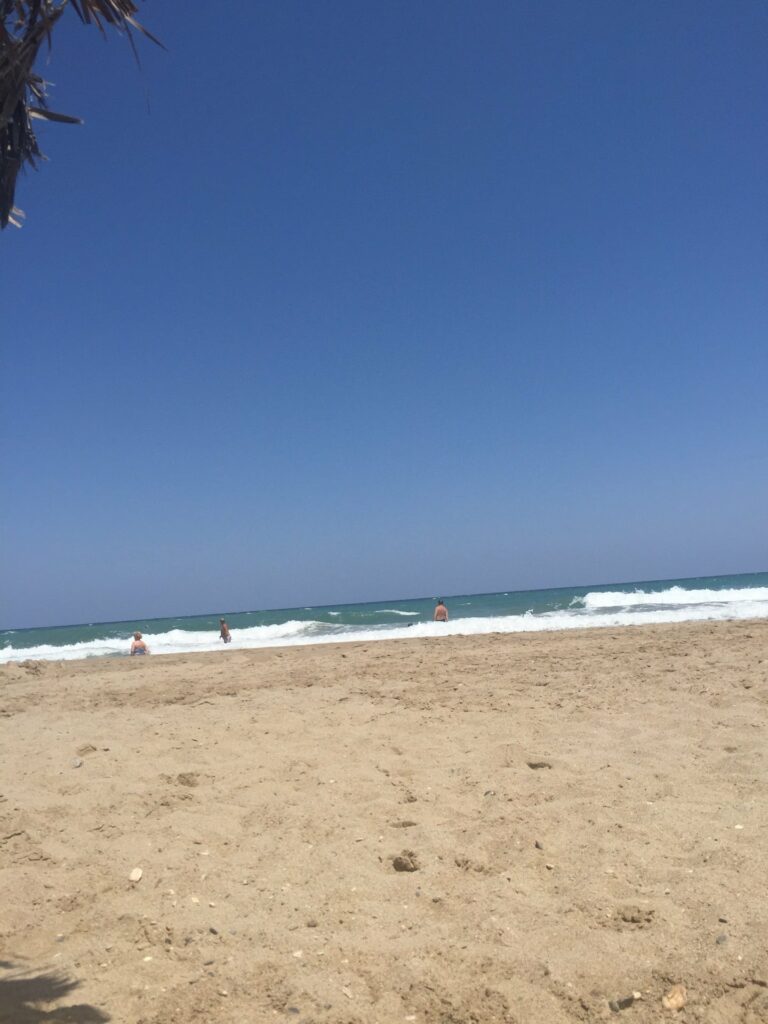
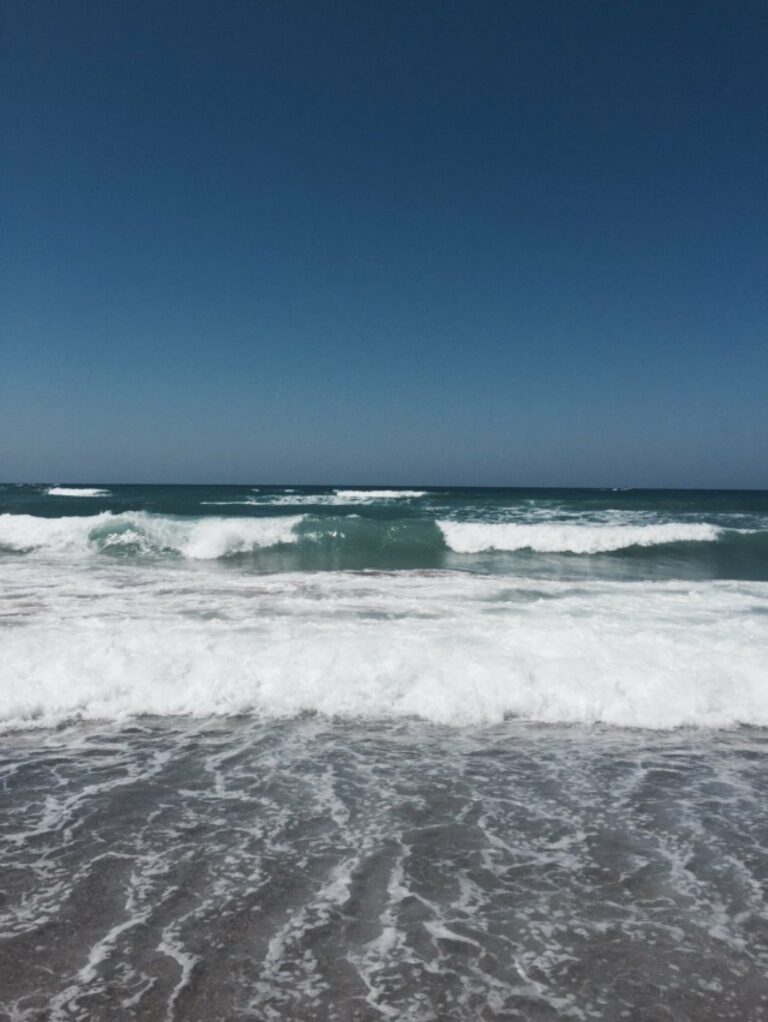
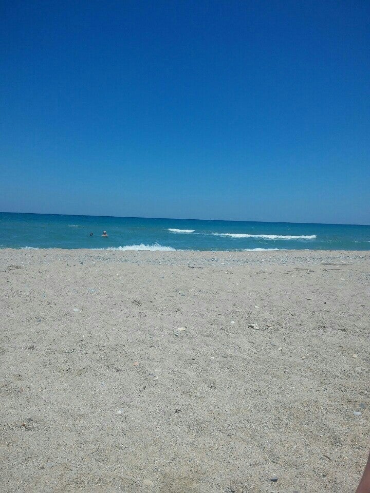
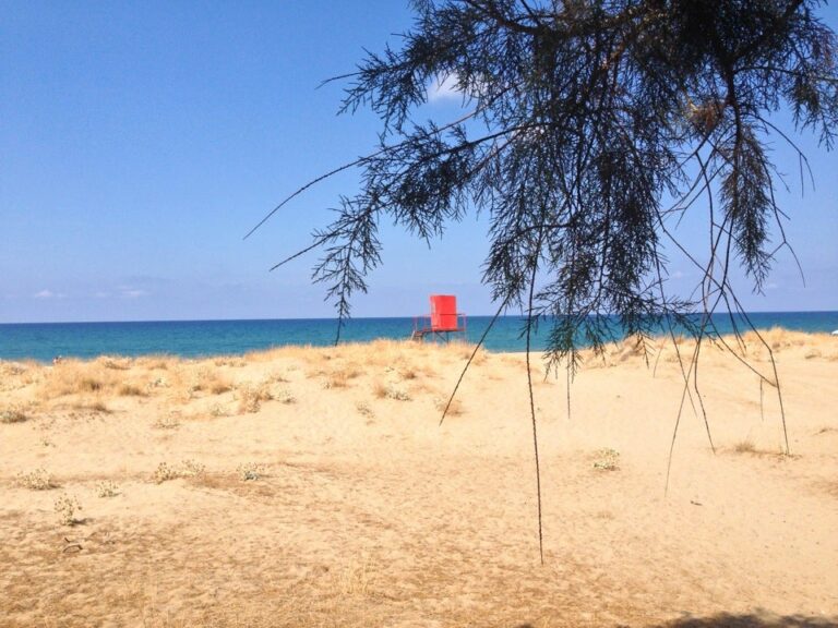
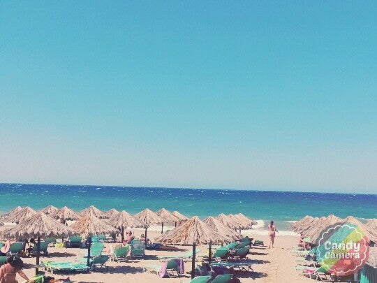
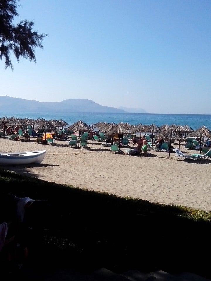
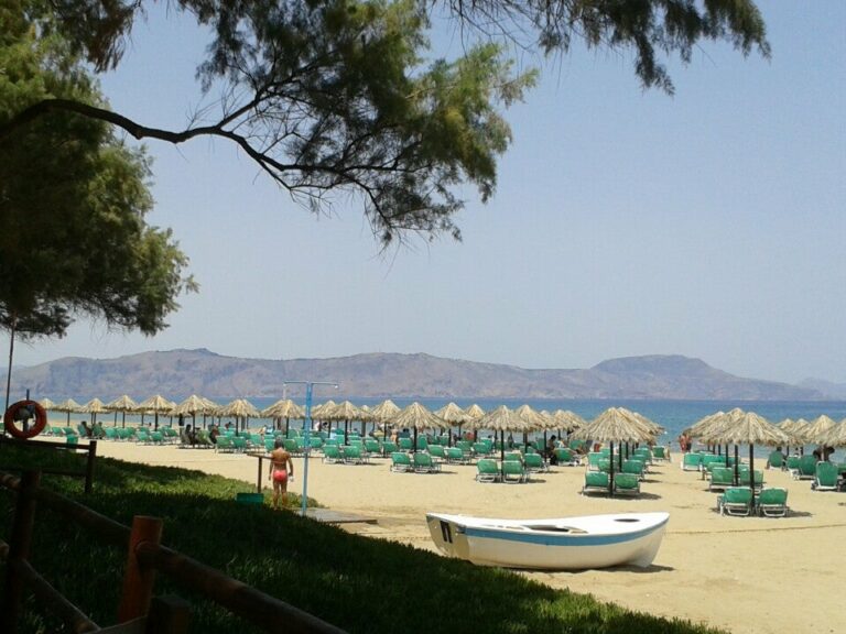
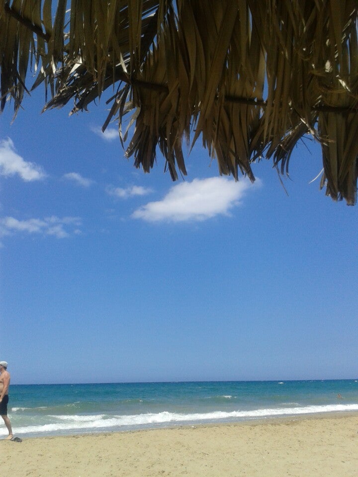
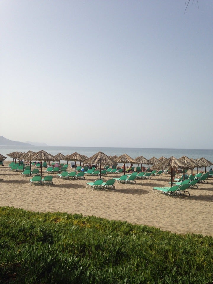
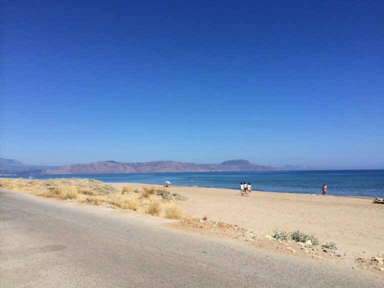
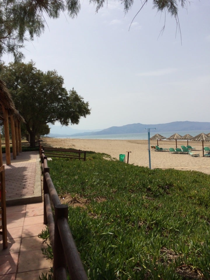
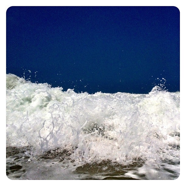
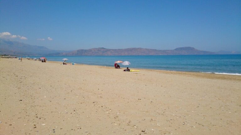
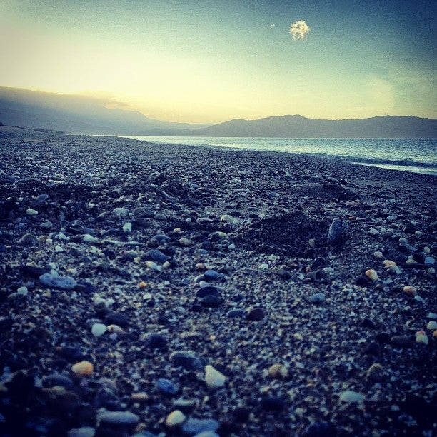
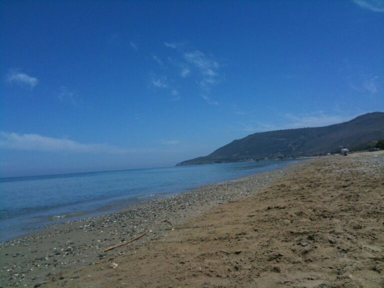
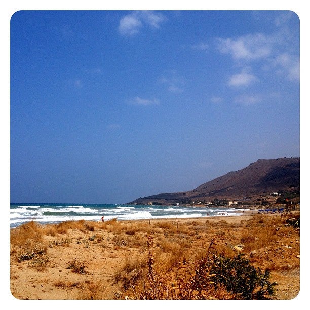
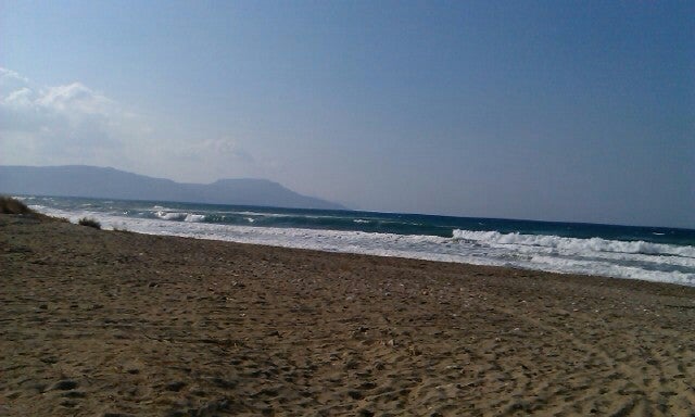
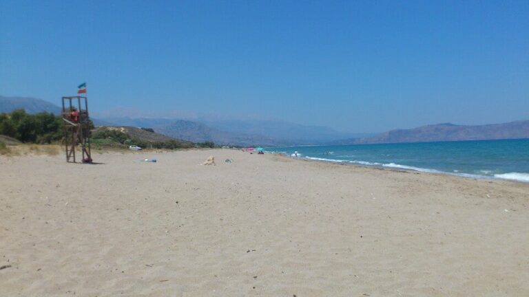
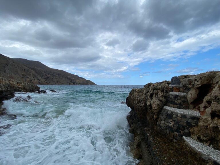
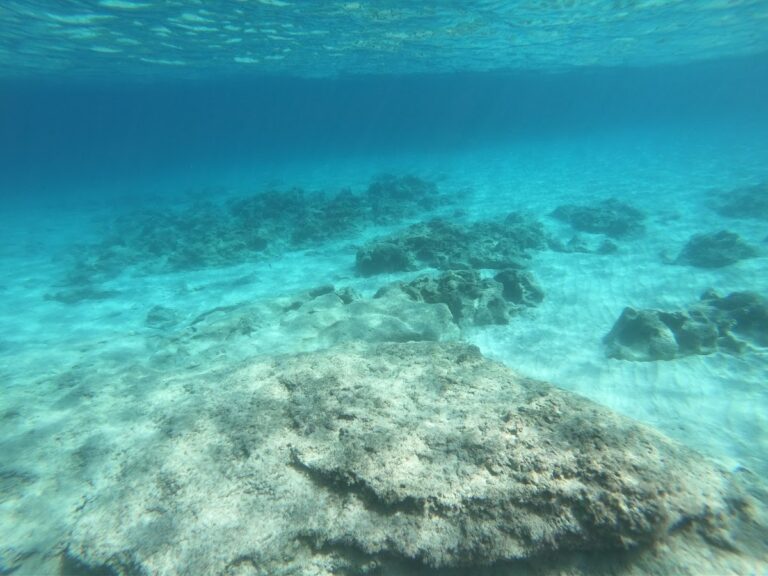
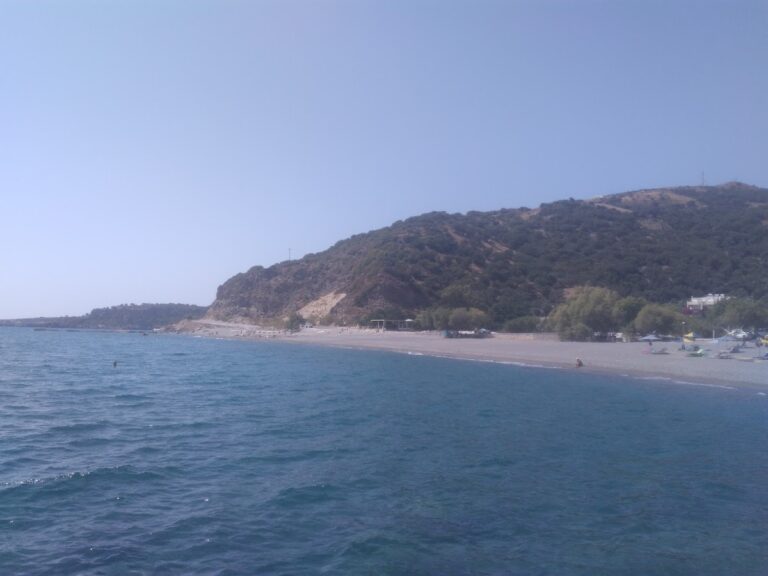
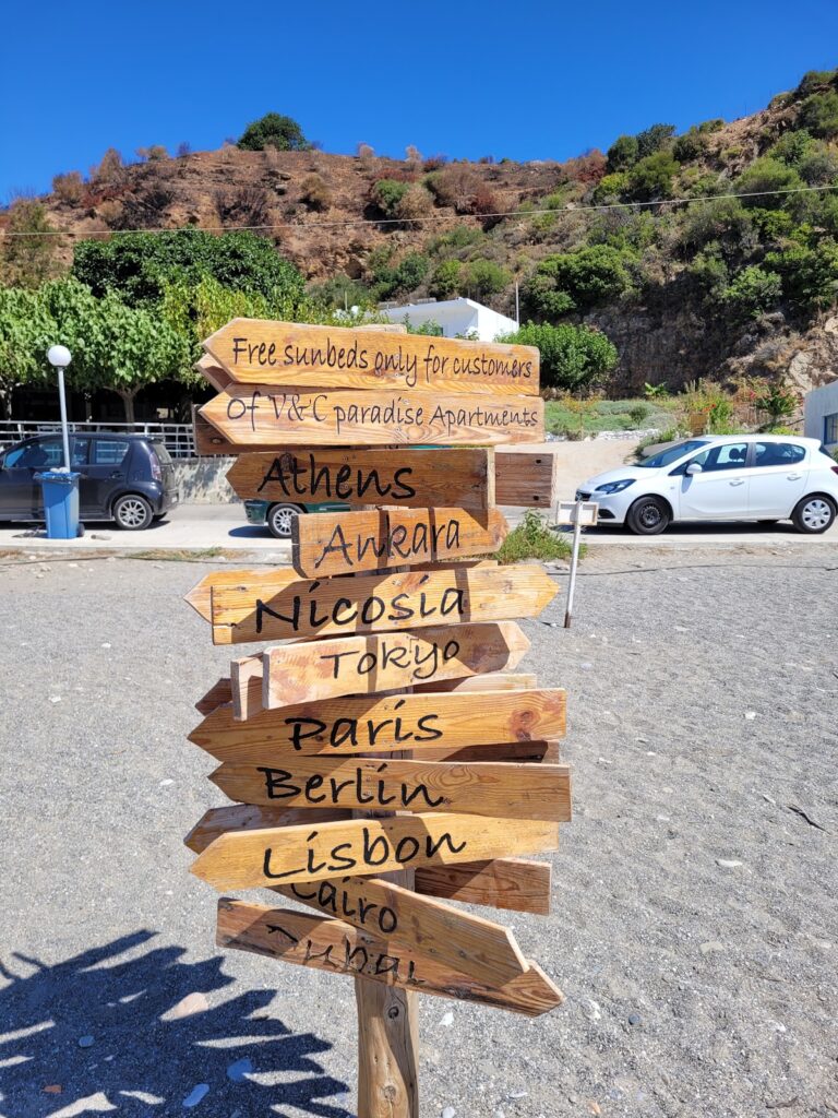
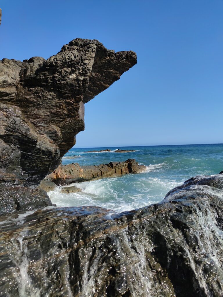
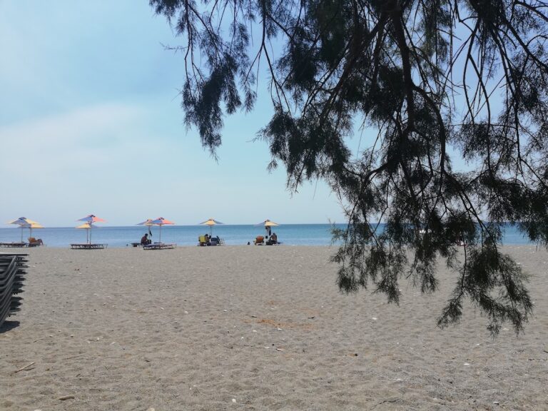
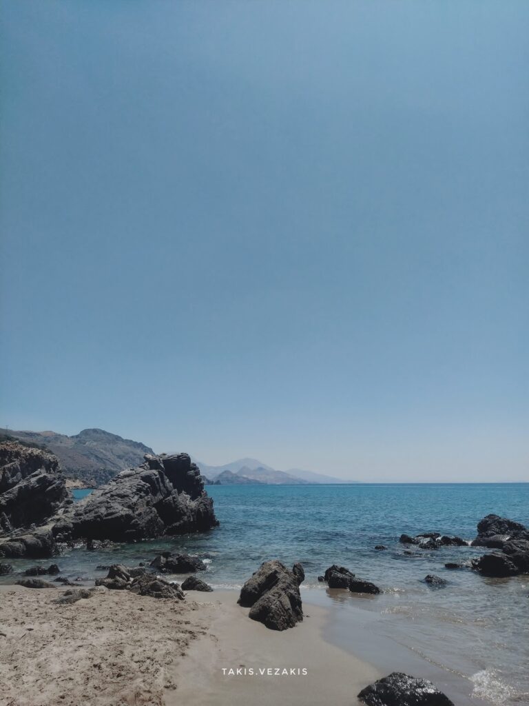
A few kilometres south of the village, where the canyon’s torrent meets the sea, lie several serene beaches. To reach them, one must follow the road leading to Korakas beach. Despite being blessed with an extensive beachfront, Rodakino has managed to preserve its traditional charm and tranquillity. The first beach you encounter at the end of the dry river is the Korakas beach, named after the Greek word for ‘crow’. It boasts of a long coastline with fine greyish pebbles and crystal-clear waters. There are a few amenities like umbrellas, taverns and rooms for rent. On the eastern end of the beach, there are hollowed-out rocks that locals believe once resembled a crow’s beak before being eroded by the sea and salt.

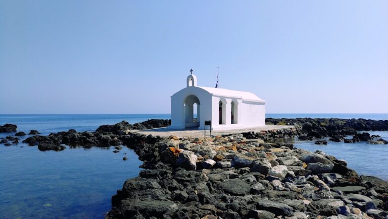
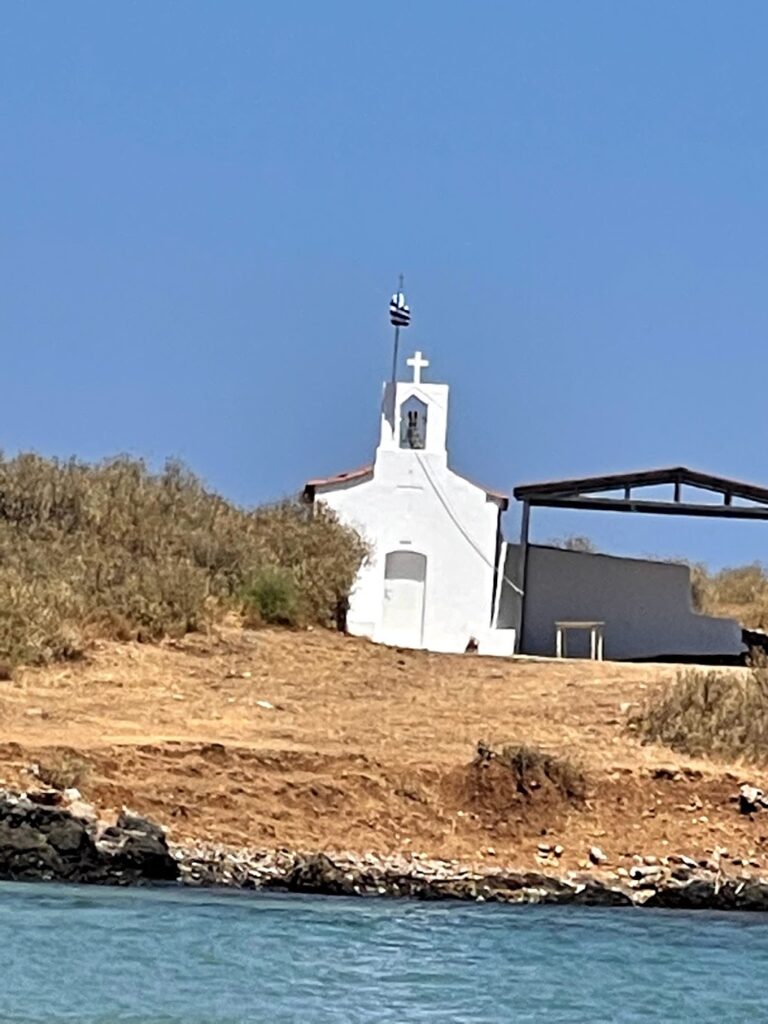
In the vicinity of Ano Rodakino, you’ll find the age-old churches of the Assumption, Transfiguration and Saint Panteleimon. Kato Rodakino is home to the old churches of St. George, Prophet Elijah and St. Anthony. Adventure seekers can follow the E4 trail to the summit of Kryoneritis Mount and then descend to Alones. At the peak, you’ll find the Church of the Holy Spirit, where a grand festival is held annually. According to local folklore, a shepherd discovered an icon of the Holy Spirit in a hole near the chapel, guided by the light of the Holy Spirit. The icon would mysteriously disappear when taken home and reappear at the same spot. This story led to the construction of the church. Moreover, the first flag of the Revolution was unfurled at the Kourkoulos site on May 24, 1821, by Melchizedek Tsouderos, the abbot of the Preveli monastery.

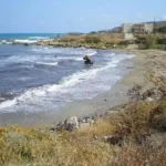
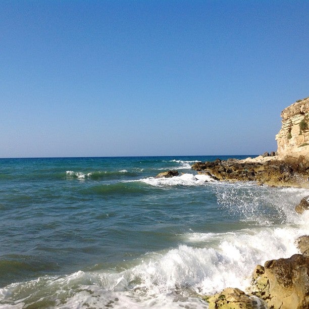
During the Cretan revolution of 1866, Korakas bay played a significant role as a landing spot for Greek cruisers unloading munitions, which were stored in the nearby Skotini cave. It was also the site where the famed steamship “Arcadi” made one of its final voyages to deliver munitions but was forced to retreat by the Ottomans.

  • 14.3 km
  • Polirizos beach
  • Sand
  • Normal
  • Blue

Rodakino, a village situated 45km southeast of Rethymno city, can be found at the mouth of the steep Rodakino canyon that cuts through the Kryoneritis mountain. This village lies a few kilometres west of the Plakias resort and east of Fragokastelo. Half a kilometre west of Rodakino’s primary beach, Korakas, you’ll find Polirizos beach, encircled by lush olive groves. To reach Polirizos, you need to follow the paved road heading west from Korakas, which runs along the coastline. After crossing a small sandhill and a few minor coves, you’ll encounter the tiny Polirizos settlement, complete with accommodations and taverns. A charming small beach with fine sand and serene, shallow waters extends in front of Polirizos.

This beach, which is slightly organized with umbrellas and sunbeds, is a perfect spot for children. The coastal road ends here due to the rocky Kastelos hill that rises on the western part of the coast and extends inland. On the hill’s other side, you’ll find the awe-inspiring long bay of Peristeres, which can be accessed by turning left approximately 500m after Polirizos.

© All rights reserved. Crete Locals