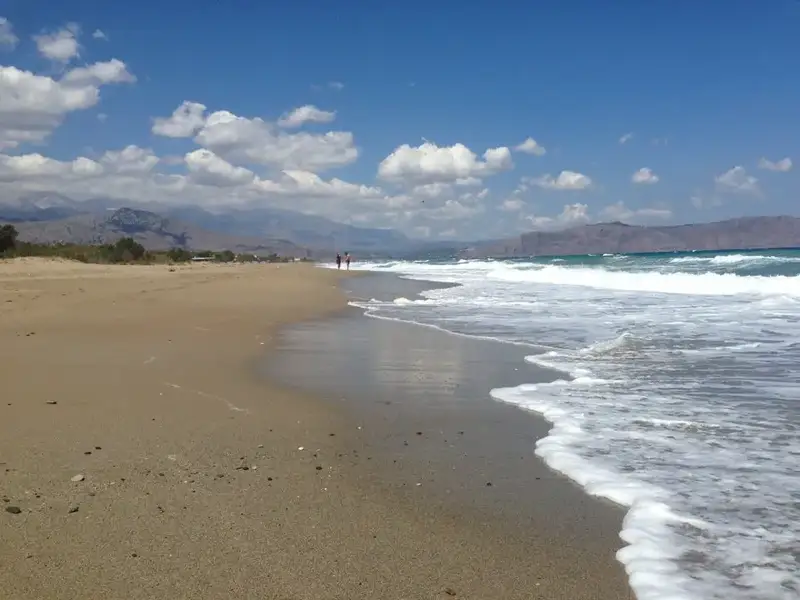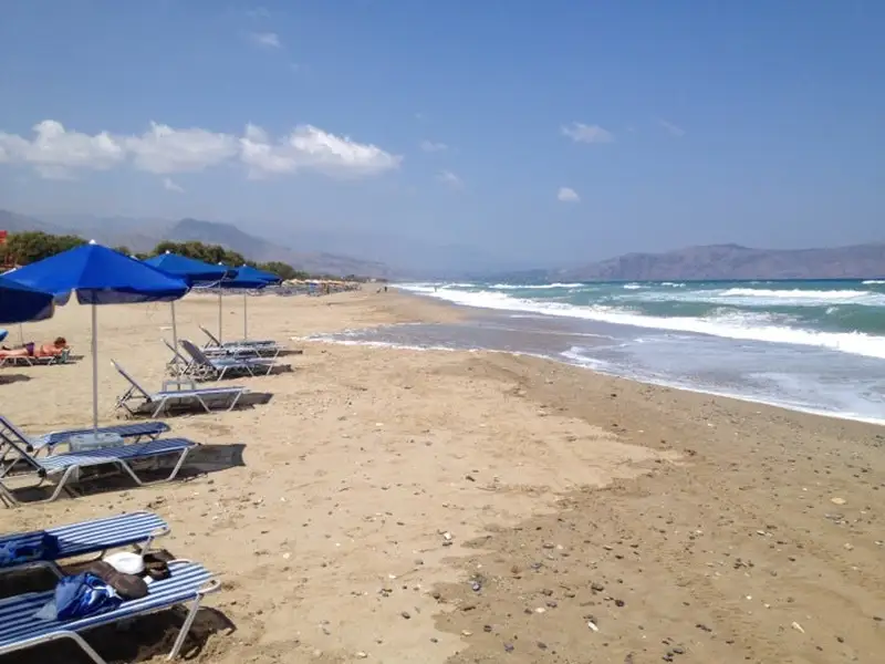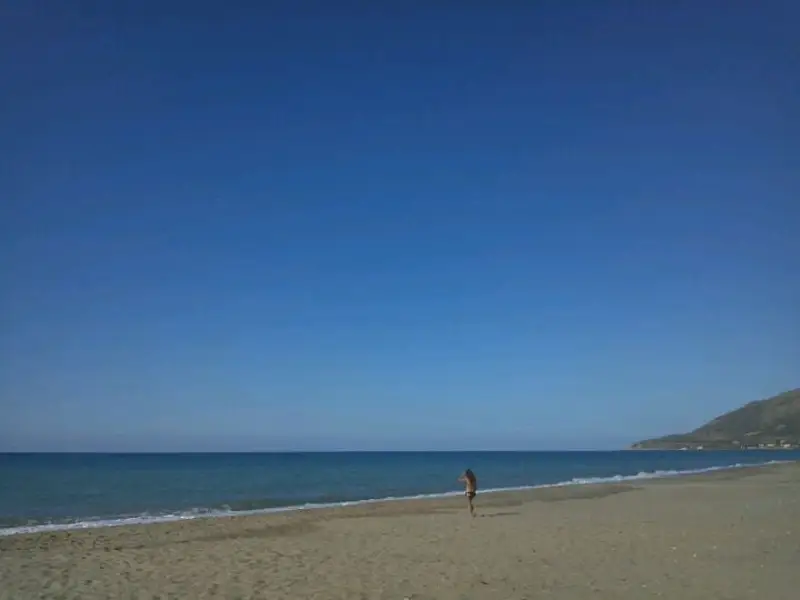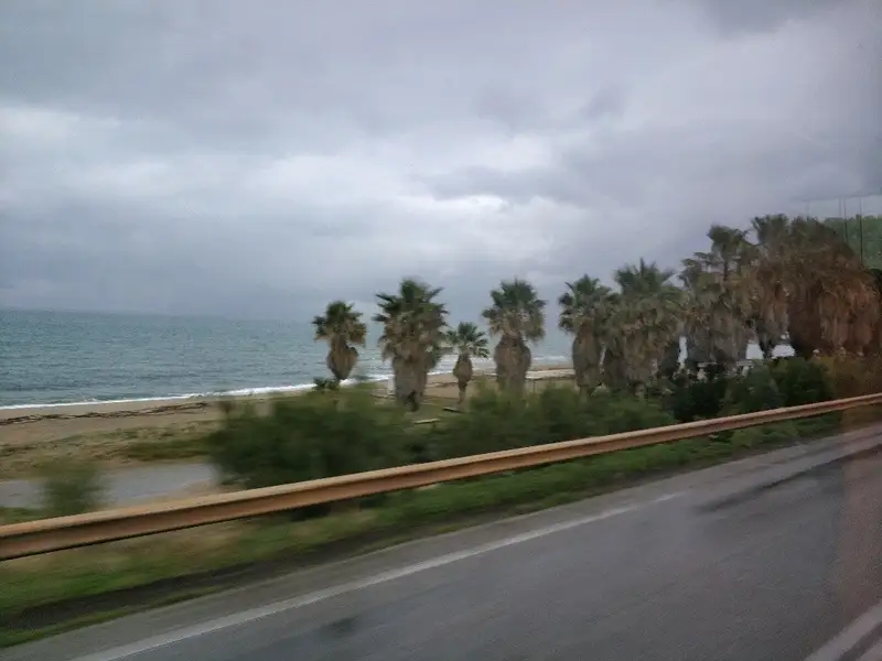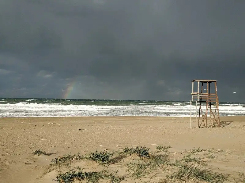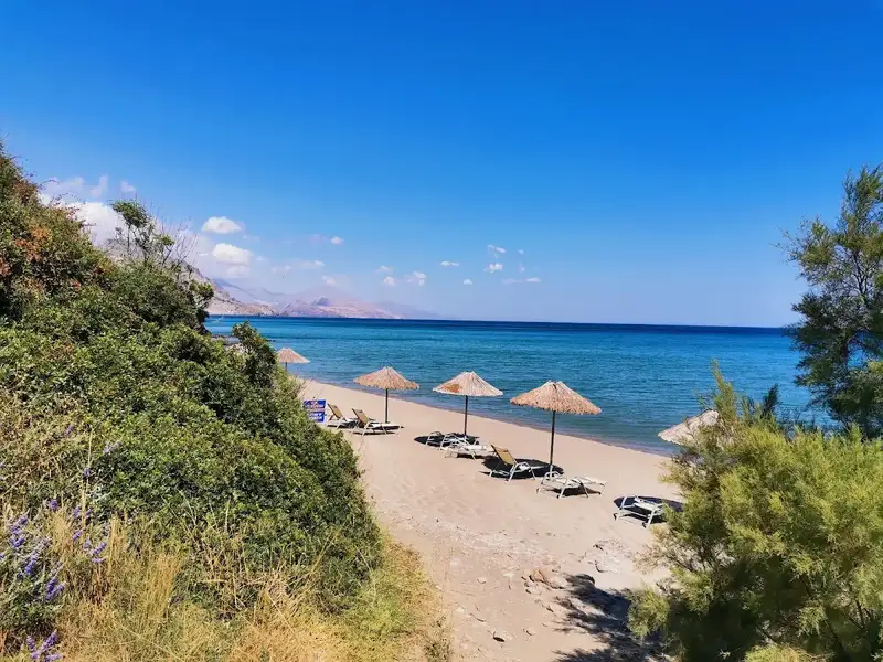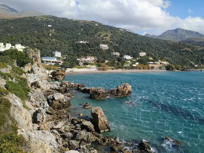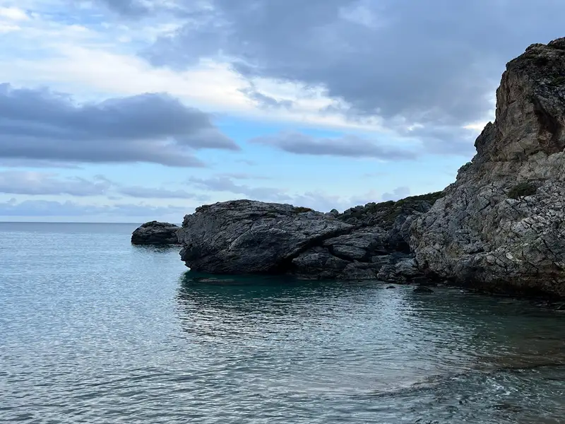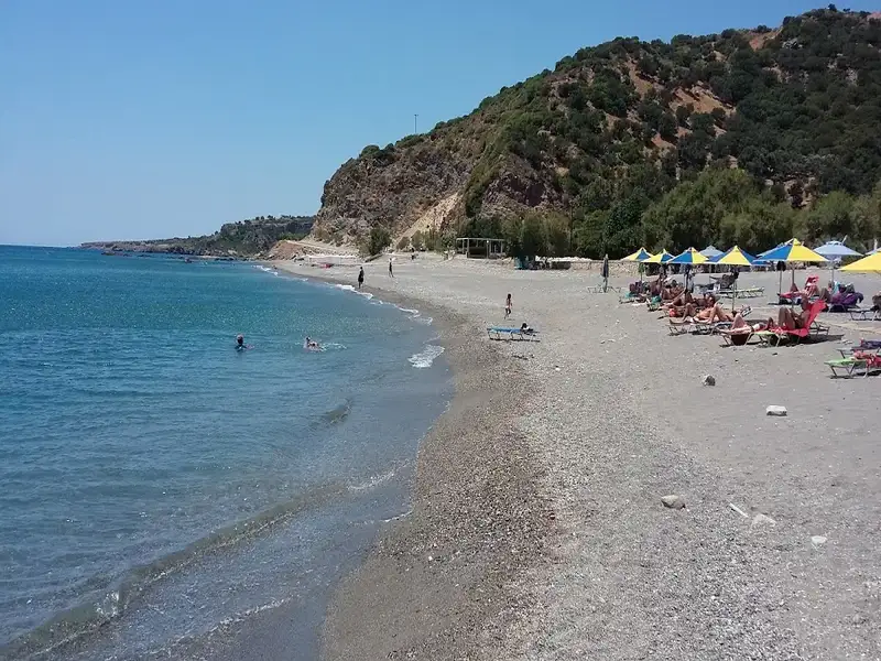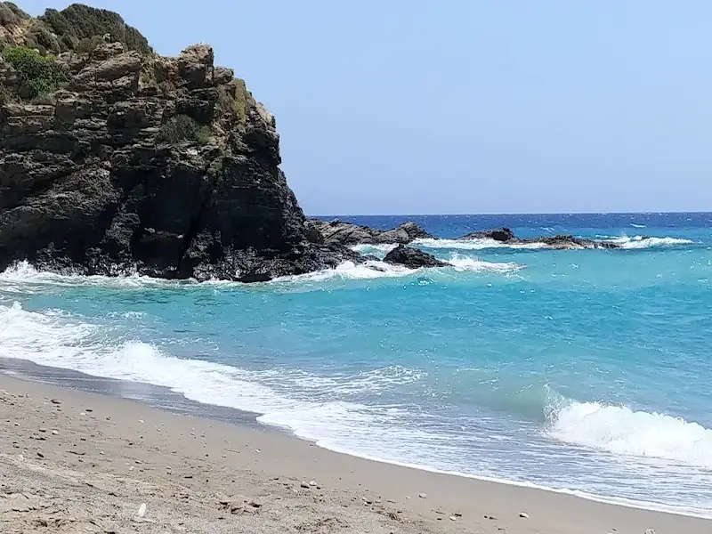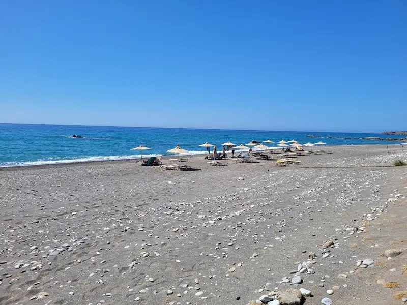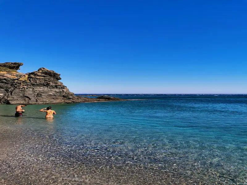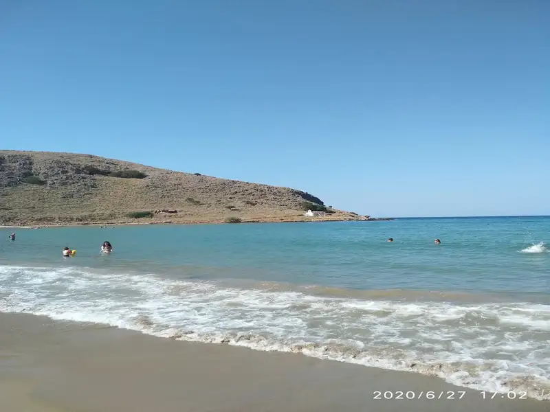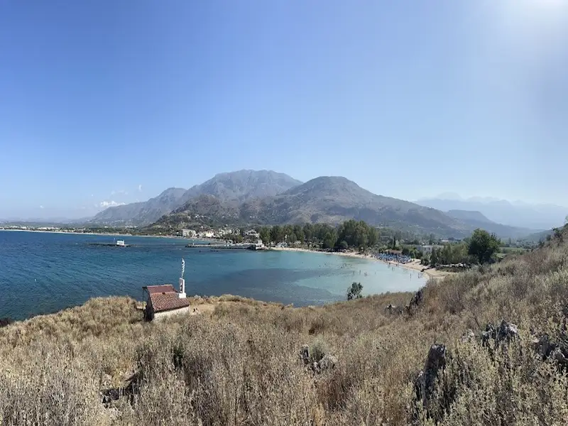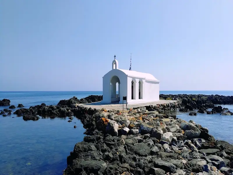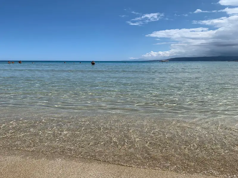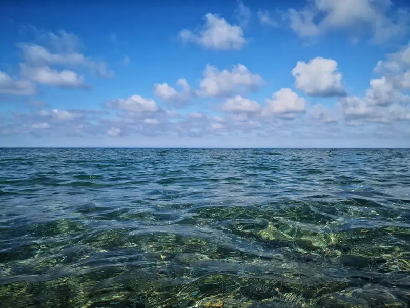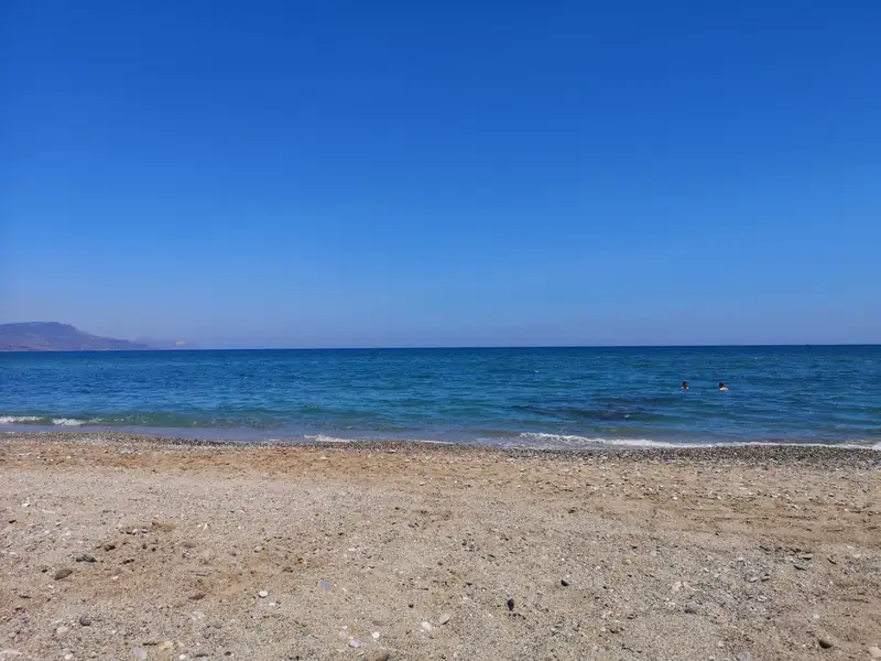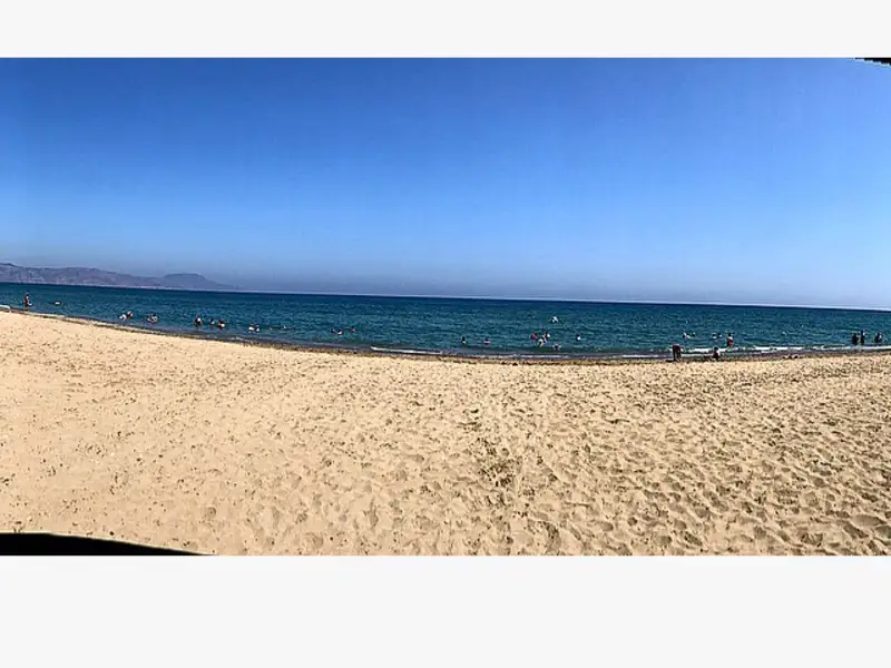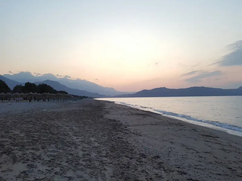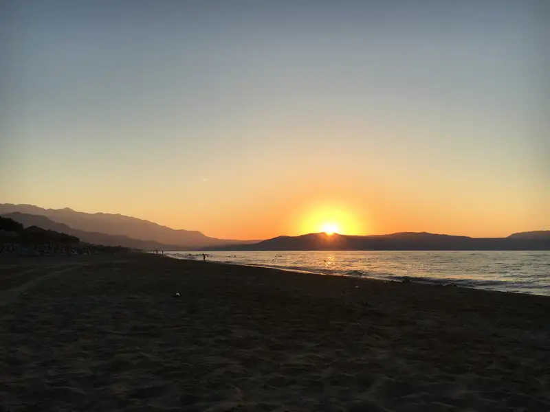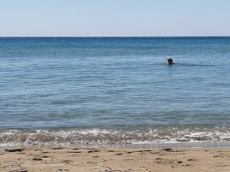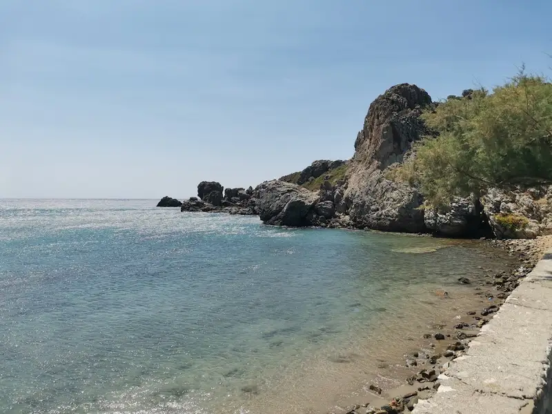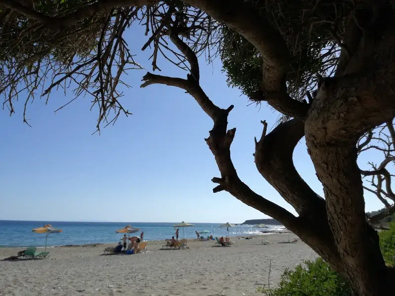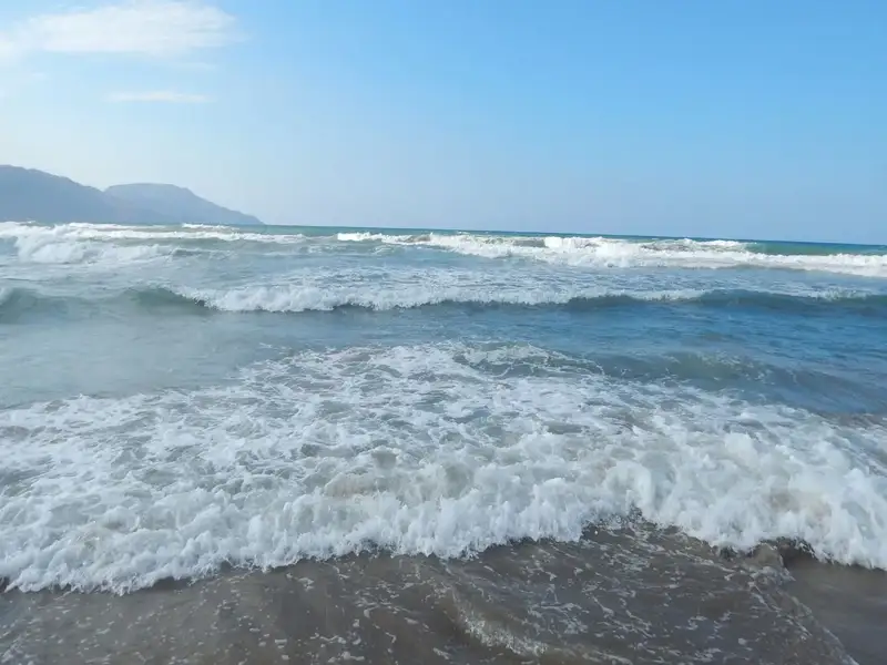
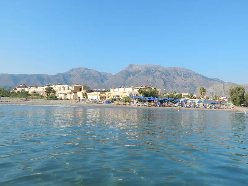
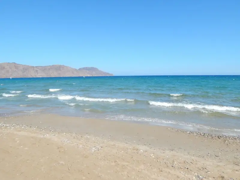
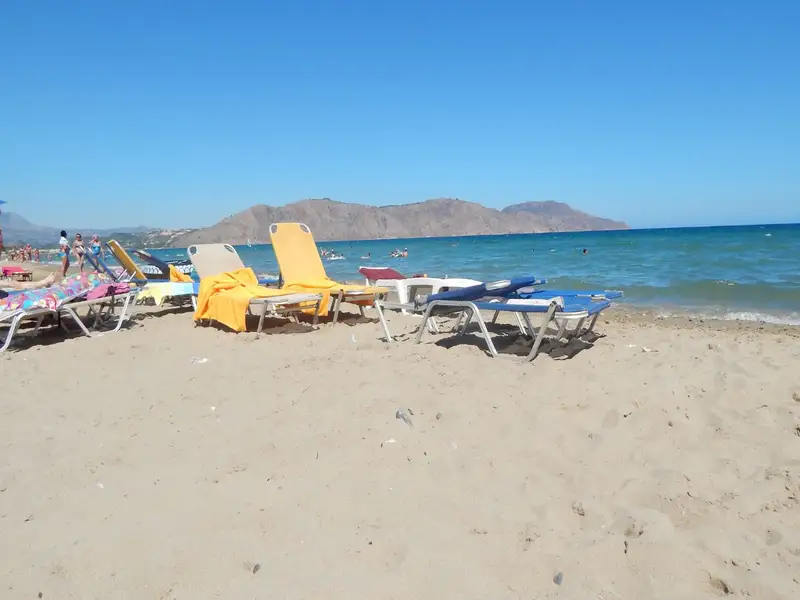
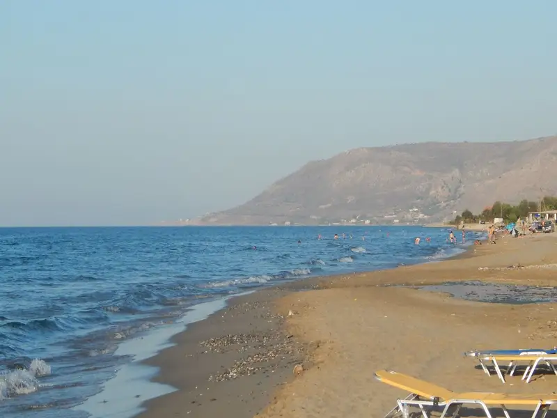
Located between Georgioupoli and Pyrgos, Kavros refers to the expansive beach situated just 4 km east of Georgioupoli, near the hotel bearing the same name. Though the area has experienced substantial tourist development, it’s somewhat less commercialized compared to the adjacent Georgioupolis. Kavros beach is a sandy stretch with transparent, shallow waters; however, its openness to the wind often results in notable wave activity. The beach provides several facilities for visitors, including an array of restaurants, cafes, and bars, making it a perfect spot for an all-day excursion. For those seeking tranquillity, parts of the beach remain unorganized, offering a more serene experience.
The place at its greatest part is developed and only a very small part of it has been left untouched. Between the remaining virgin parts of the beach, there is an extensive and very important ecosystem of dunes. The dunes of Kavros, like all dunes, host a significant and very fragile ecosystem that is home to its own plants. The most important role of the dunes in Crete is that they protect the inner lands from erosion. In the area, in winter we meet small ponds and the landscape is quite different from the summer.
Episkopi beach is a 3.5 km sandy beach on the north coast of Crete, 14 km west of Rethymno and 45 km east of Chania. Episkopi beach sits in a fertile valley between the Mouselas river and the river that runs out of the Petres gorge. The water is shallow and usually a little wavy, like most beaches on Crete’s north coast, and it takes its name from the village of Episkopi, 2 km inland to the south.
At a glance:
The sand is soft, with a short pebbly strip at the waterline that turns sandy underfoot as you walk in. Mornings are usually calm and clear enough to see the bottom, while an afternoon breeze can raise small waves. The shallow, gently shelving water suits families with children and makes the beach a good spot for a slow swim or a snorkel.
The western part of the beach is well organized. There you find lifeguards, showers, changing rooms, umbrellas and sunbeds, snack bars, and water sports. Tavernas and bars line the shore, several renting sunbeds under thatched umbrellas. Because the beach runs for about 3.5 km, you can still find a quieter, less developed stretch toward the eastern end near the Petres bridge.
The main coastal road between Rethymno and Chania runs parallel to the beach, so access by car is easy. Frequent KTEL public buses connect Chania and Rethymno and stop on the highway beside the beach, and parking is available at the shore. The simplest way to reach Episkopi and explore the rest of the north coast is to rent a car.
Loggerhead sea turtles (Caretta caretta) nest along this coast between May and September, and Episkopi is a recorded nesting point. If you visit in those months, keep clear of any marked nests and take your litter home with you.
Episkopi sits within a short drive of these stops:
The name Episkopi means “Diocese”: the village was the seat of the local diocese in the Byzantine period, and the old Episcopal church of St Nicholas nearby now stands in ruins. Almost unknown to travelers, the area is also the ancestral home of the Vardinoyannis family.
Episkopi beach is on the north coast of Crete in the Rethymno area, 14 km west of Rethymno and 45 km east of Chania. It lies below the village of Episkopi, between the Mouselas and Petres rivers.
Yes. The water is shallow and the sand is soft, and the organized western section has a lifeguard, so it suits children and less confident swimmers.
The western part is organized, with lifeguards, showers, changing rooms, umbrellas and sunbeds, snack bars, and water sports. The eastern end near the Petres bridge is quieter and less developed.
Yes, water sports are offered in the organized western section, alongside the lifeguard, showers, umbrellas, and snack bars.
The coastal Rethymno to Chania road runs next to the beach, so you can drive or take a KTEL public bus that stops on the highway. Parking is available at the beach.
The main season is June to September, when the weather is warm and dry. Late May, June, and September are usually quieter than midsummer.
Yes. The water is clear and shallow, and the rockier seabed near Petres beach to the east is a favorite for snorkeling and fishing.
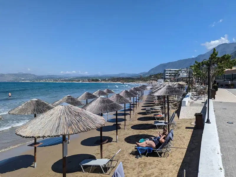
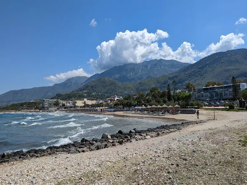
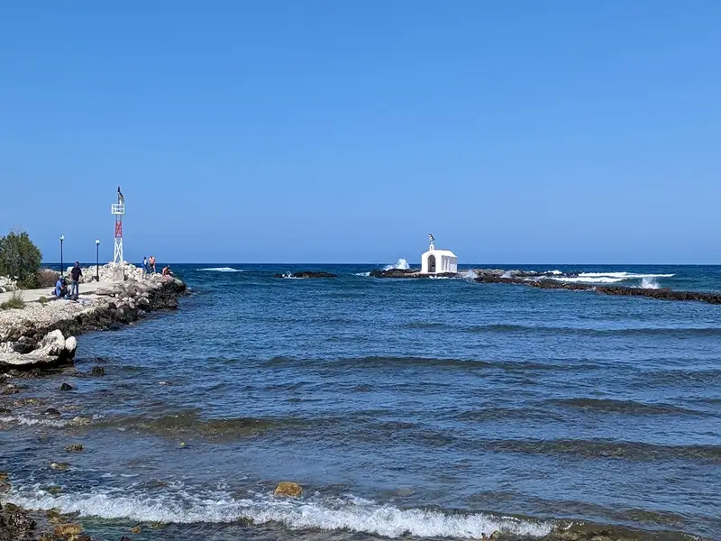
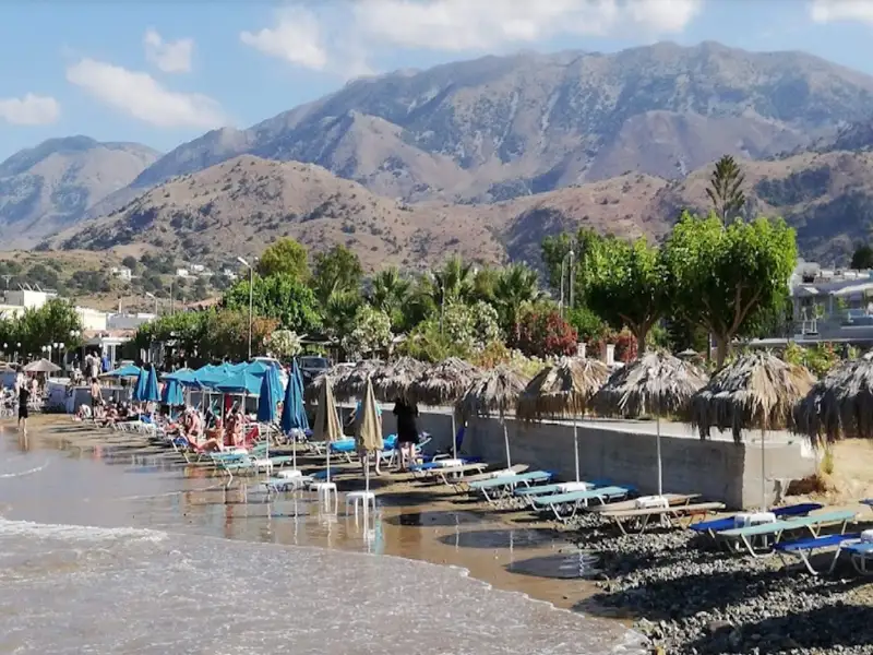
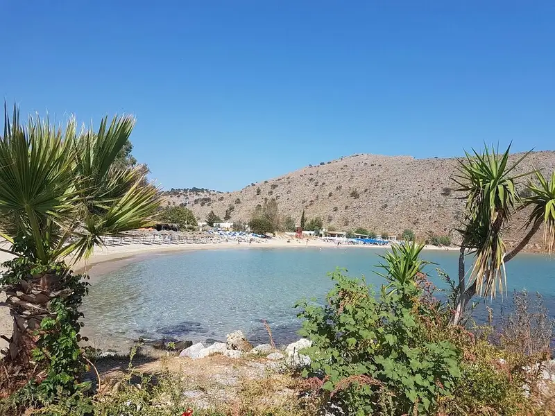
Georgioupolis, a small coastal town located 38km east of Chania and 21km west of Rethymnon, is a seaside resort nestled in a verdant valley crisscrossed by rivers and springs. Situated on the western edge of a sprawling 10km beach, the town’s beach spans 2km to the east, beginning at the Almiros river and terminating at Kavros beach, a natural continuation of the former. The beach in Georgioupolis is sandy, dotted with dunes, and has shallow waters.
The beach is well-maintained and child-friendly, with lifeguards on duty. Caution is advised during windy conditions due to sea currents. Amenities such as umbrellas, showers, and food and drink stalls are available for beachgoers. Approximately 700m east of the port, the Perastikos river bifurcates the beach, which then widens as it continues eastward. On the opposite end, west of Georgioupolis’s port and near the Almyros river’s exit, lies the picturesque Kalivaki beach.
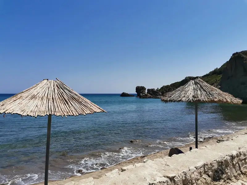
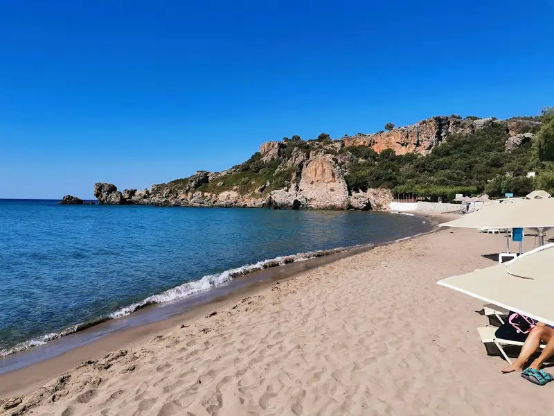
Rodakino, a village situated 45km southeast of Rethymno city, can be found at the mouth of the steep Rodakino canyon that cuts through the Kryoneritis mountain. This village lies a few kilometres west of the Plakias resort and east of Fragokastelo. Half a kilometre west of Rodakino’s primary beach, Korakas, you’ll find Polirizos beach, encircled by lush olive groves. To reach Polirizos, you need to follow the paved road heading west from Korakas, which runs along the coastline. After crossing a small sandhill and a few minor coves, you’ll encounter the tiny Polirizos settlement, complete with accommodations and taverns. A charming small beach with fine sand and serene, shallow waters extends in front of Polirizos.
This beach, which is slightly organized with umbrellas and sunbeds, is a perfect spot for children. The coastal road ends here due to the rocky Kastelos hill that rises on the western part of the coast and extends inland. On the hill’s other side, you’ll find the awe-inspiring long bay of Peristeres, which can be accessed by turning left approximately 500m after Polirizos.
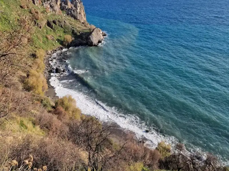
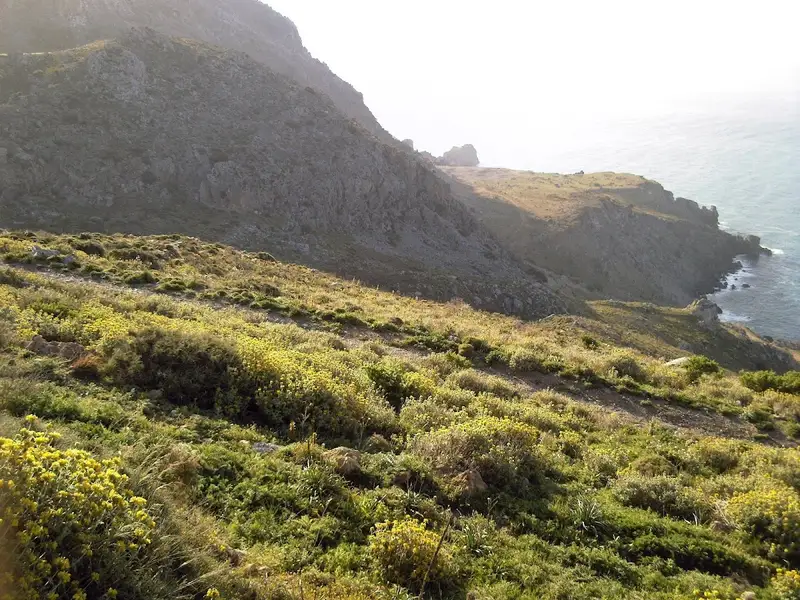
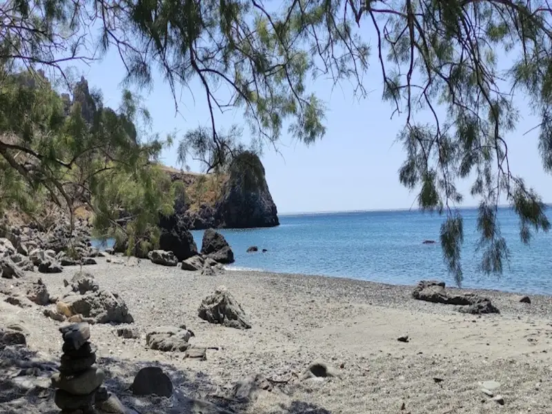
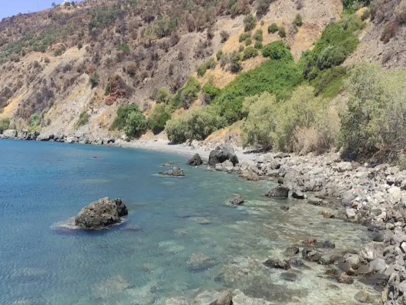
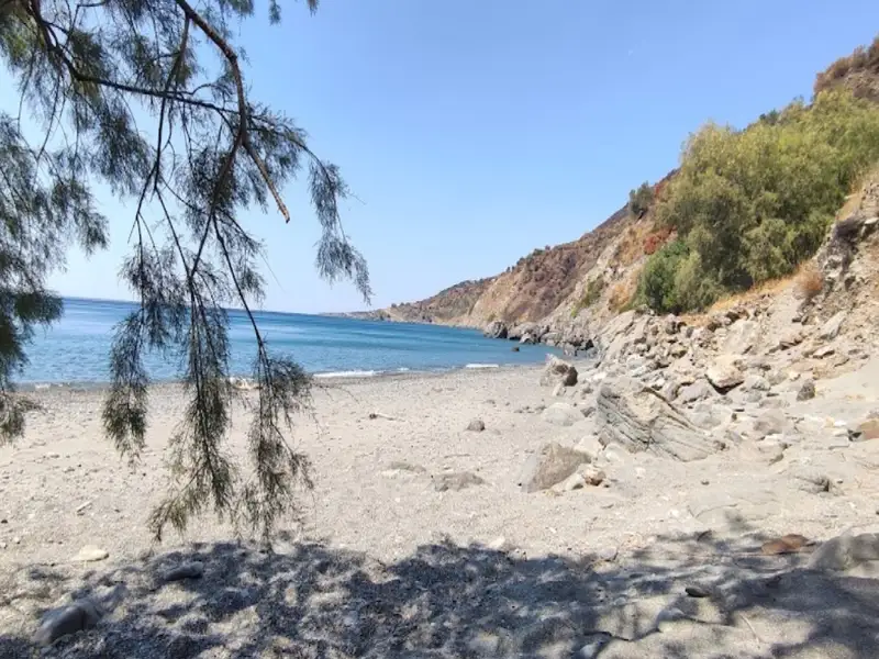
Klimata, known for its vines, is a 45km journey south from the city of Rethymno, situated next to the popular Korakas beach, close to Rodakino village. Korakas and Klimata are divided by a brief, rocky cape. Klimata is a petite bay consisting of three sequential beaches. Rodakino’s small harbour is found on the bay’s west side, reachable via a cement-paved path that starts from Korakas. From here, the first beach is easily accessible, positioned just beside the harbour. To get to the other two beaches, one can either walk through the first beach or take the dust road that links Korakas to Souda beach in Plakias.
Klimata is not organised in any way, with only Korakas beach being so. All three beaches are known for their fine pebbles and transparent waters. In certain areas, the rocky sea floor is ideal for snorkelling. It’s likely that these beaches will be deserted, except for a handful of privacy enthusiasts or naturists. Klimata, meaning vines, is named after the vineyards that were once grown on the nearby slopes.
Situated 45km southeast of the city of Rethymno, right on the edge of the steep Rodakino canyon that cuts through the Kryoneritis mountain, is the village of Rodakino. The village is nestled between the resort of Plakias to the west and Fragokastelo to the east. Rodakino, a traditional Cretan village, spreads on both sides of the gorge, creating two distinct settlements known as Kato and Ano Rodakino. From the village, one can enjoy the stunning views of the azure South Cretan Sea. The village derives its name, which translates to ‘peach’ in Greek, from a peach tree that managed to grow in the region’s arid climate. Some locals, however, believe the gorge was originally named Rikinthos, which over time morphed into Rodakino.
A few kilometres south of the village, where the canyon’s torrent meets the sea, lie several serene beaches. To reach them, one must follow the road leading to Korakas beach. Despite being blessed with an extensive beachfront, Rodakino has managed to preserve its traditional charm and tranquillity. The first beach you encounter at the end of the dry river is the Korakas beach, named after the Greek word for ‘crow’. It boasts of a long coastline with fine greyish pebbles and crystal-clear waters. There are a few amenities like umbrellas, taverns and rooms for rent. On the eastern end of the beach, there are hollowed-out rocks that locals believe once resembled a crow’s beak before being eroded by the sea and salt.
In the vicinity of Ano Rodakino, you’ll find the age-old churches of the Assumption, Transfiguration and Saint Panteleimon. Kato Rodakino is home to the old churches of St. George, Prophet Elijah and St. Anthony. Adventure seekers can follow the E4 trail to the summit of Kryoneritis Mount and then descend to Alones. At the peak, you’ll find the Church of the Holy Spirit, where a grand festival is held annually. According to local folklore, a shepherd discovered an icon of the Holy Spirit in a hole near the chapel, guided by the light of the Holy Spirit. The icon would mysteriously disappear when taken home and reappear at the same spot. This story led to the construction of the church. Moreover, the first flag of the Revolution was unfurled at the Kourkoulos site on May 24, 1821, by Melchizedek Tsouderos, the abbot of the Preveli monastery.
During the Cretan revolution of 1866, Korakas bay played a significant role as a landing spot for Greek cruisers unloading munitions, which were stored in the nearby Skotini cave. It was also the site where the famed steamship “Arcadi” made one of its final voyages to deliver munitions but was forced to retreat by the Ottomans.
Peristeres, situated 47km southwest of the city of Rethymnon, is nestled between the villages of Fragokastelo and Rodakino. This beach is a well-known spot among Greeks due to its association with Alexis Tsipras, the former Prime Minister of Greece, who loved this beach. The beach extends from the western side of Kastelos hill all the way to Agia Marina. It comprises two separate coves and is typically tranquil, given its less accessible location compared to nearby Korakas and Polirizos beaches. There are no amenities on the beach, only a few small taverns. The beach is pebbly with some rocky patches, and is often frequented by nudists and campers who find respite under the large carob trees.
In Greek, Peristeres translates to ‘pigeons’, a name originating from the small sea caves at Kastelos cape where pigeons nest. These caves, located beyond the eastern end of the beach, are strikingly beautiful with arches, massive boulders, and tiny sandy beaches inside. The sea bed, reminiscent of an aquarium, is a perfect spot for snorkelling.
This beach also holds historical significance as it was from here that German General Heinrich Kreipe was transported to Egypt. Kreipe, the general commander of the land forces of “Fortress Crete” or Festung Kreta, was captured in Heraklion by two British officers and Cretan resistance fighters. After evading German patrols and traversing the mountains, they reached the southern side of the island where a British Motor Launch picked them up on May 14, 1944. This daring operation infuriated Hitler and is considered one of the most audacious of the Second World War. A resident of Rodakino village still possesses Kreipe’s handcuffs. The bay was also used by allied submarines and destroyers to bring in supplies for the battle against the Germans.
To reach Peristeres, one can either take the paved road from Polirizos heading west and then turn left onto the first dirt road, or use the 4km dirt road that connects Lakki, near Skaloti village, with Polirizos.
Kalivaki beach is the westernmost beach of Georgioupolis bay, on the north coast of Crete, 38 km east of Chania and 21 km west of Rethymno. Kalivaki sits at the mouth of the Almyros river, where the river meets the sea, so its sandy shore stays sheltered from the wind and its shallow water runs noticeably cool. This sheltered, family-friendly setting makes Kalivaki a good choice for children, especially on days when the wind stirs up the more open beaches nearby.
Kalivaki beach lies at the western edge of Georgioupolis bay, west of the Georgioupolis port and the church of Agios Nikolaos, 38 km east of Chania and 21 km west of Rethymno. Kalivaki sits at the exit of the Almyros river, joined by the smaller Boutakas stream, and both keep a steady flow of fresh water into the sea all year. The beach faces the open north coast, so its surface is calm in the sheltered corner near the river and turns wavy further out when the wind picks up. This position, tucked at the protected western end of the bay, is what sets Kalivaki apart from the longer, more exposed Georgioupolis beach to the east.
The water at Kalivaki is noticeably cooler than the open sea because the Almyros river and freshwater springs push cold water into the shallows. This cool current is strongest at the parts of the beach closest to the river mouth, where the cold river water meets the warmer sea. Many families come to Kalivaki for exactly this refreshing dip, which feels sharper and cooler than a swim on the neighbouring sandy beaches. Swim towards the eastern side of the beach, away from the river outflow, if you prefer warmer water.
Kalivaki is a sandy beach with soft sand and small dunes behind the shore, and its shallow, sheltered water suits families with young children. Kalivaki usually stays less crowded than the other Georgioupolis beaches, though visitor numbers rise on summer weekends. The sheltered cove keeps the water calm on windy days, when the longer beaches to the east grow choppy, so Kalivaki works well as a fallback when the wind is up. Where the Almyros river meets the sea the outflow can create a noticeable current and colder water, so keep children in the calmer, sheltered part of the cove and take extra care on windy days.
Kalivaki gives visitors umbrellas and sunbeds to rent, with beach bars and taverns nearby for food and water a few steps from the sand. Parking sits close to the shore and the beach is free to enter, so a family beach day here needs little planning. Services such as showers, changing rooms and a lifeguard are not a guaranteed feature at Kalivaki, so check what is open on arrival if you rely on them. Most of the beach services run mainly through the summer season, and they thin out in the quieter spring and autumn months.
Kalivaki beach is a recorded nesting point for the loggerhead sea turtle (Caretta caretta), which lays its eggs in the sand in the warm months. Keep clear of the soft dry sand and any marked nests, and avoid digging or pushing umbrella poles deep into the sand near the back of the beach. Take your litter home with you, because a single nest can sit just below the surface. These small steps let the turtles and their eggs stay undisturbed while you enjoy the beach.
Reach Kalivaki beach in a few simple ways from Georgioupolis and the main coast road:
Kalivaki sits between Chania and Rethymno, so a beach morning here fits easily with Lake Kournas, the Georgioupolis waterfront, and the quieter coves along the Apokoronas coast. Reaching them all on your own schedule is simplest with your own vehicle, which you can compare on our car rental in Crete page.
Kalivaki beach is the westernmost beach of Georgioupolis bay, on the north coast of Crete, 38 km east of Chania and 21 km west of Rethymno.
Yes, Kalivaki beach suits families, because the water is shallow, the cove is sheltered from the wind, and the beach stays calmer than the neighbouring Georgioupolis beaches. Keep children near the calmer part of the cove and away from the stronger current at the river mouth.
The water at Kalivaki is cold because the Almyros river and freshwater springs feed cool water into the shallows, and the effect is strongest close to the river mouth.
Kalivaki beach has umbrellas and sunbeds to rent, with beach bars and taverns nearby for food and water, and free parking close to the shore. Showers, changing rooms and a lifeguard are not guaranteed, so check what is open on arrival.
Drive or take a local bus to Georgioupolis, then follow the paved road or walk west from the port to the river mouth at the western end of the bay.
The main season runs from June to September, when the weather is warm and the beach services are open, while late spring and early autumn stay quieter for a calmer visit.
Situated 47km southwest of Rethymno and 84km south of Chania, nestled between Fragokastelo and Rodakino village, is Agia Marina. It is also 2km south of Argoules village. The beach presents a mix of sand, fine pebbles, and occasional rocky areas, making it an ideal spot for spearfishing and snorkelling. The beach is not organized, so it’s essential to bring your own necessities. Small canteens can be found at Peristeres beach, a short 3-5 minute walk to the east. The towering carob trees provide ample shade, especially on windless days.
To reach Agia Marina, follow the dirt road that connects Skaloti village (or Lakki beach) with Polirizos beach. Just before reaching Polyrizos, take the route to Peristeres beach and continue along the seaside dirt track until you arrive at Agia Marina. This same dirt road extends to Lakki beach.
The beach is named after the chapel of Agia Marina located on its shores. A small river, which draws water from the White Mountains through the Argoule gorge, flows into the beach year-round.
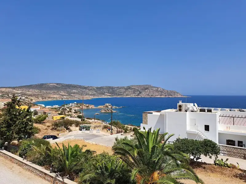
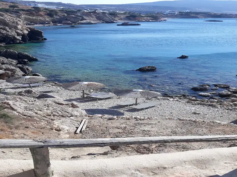

Lakki, also known as Laki or Lakkes, is situated 81km southeast of Chania and 48km southwest of the city of Rethymno. It’s nestled close to Fragokastelo, a mere 2km to the east, and adjacent to the village of Skaloti. The beach, which can be reached by a drive from Skaloti, is to the west of Lakki, where a small stream from the Sfaggofarago Gorge flows into the sea.
The area is characterized by several picturesque sandy coves separated by petite rocky piers. It’s a tranquil location with minimal organization, featuring a handful of accommodations and taverns. The bustling region of Fragokastelo is within walking distance, making it convenient for those with vehicles.
Lakki is perfect for peaceful holidays, particularly for families and children. The sea is pristine and rarely crowded. Some coves provide umbrellas, but the abundance of tamarisk trees ensures ample shade.
If you find the time, a walk to Skaloti village is worthwhile, where you can appreciate the stunning Byzantine church of Prophet Elijah, constructed in 1335.
No results available
No results available
© All rights reserved. Crete Locals