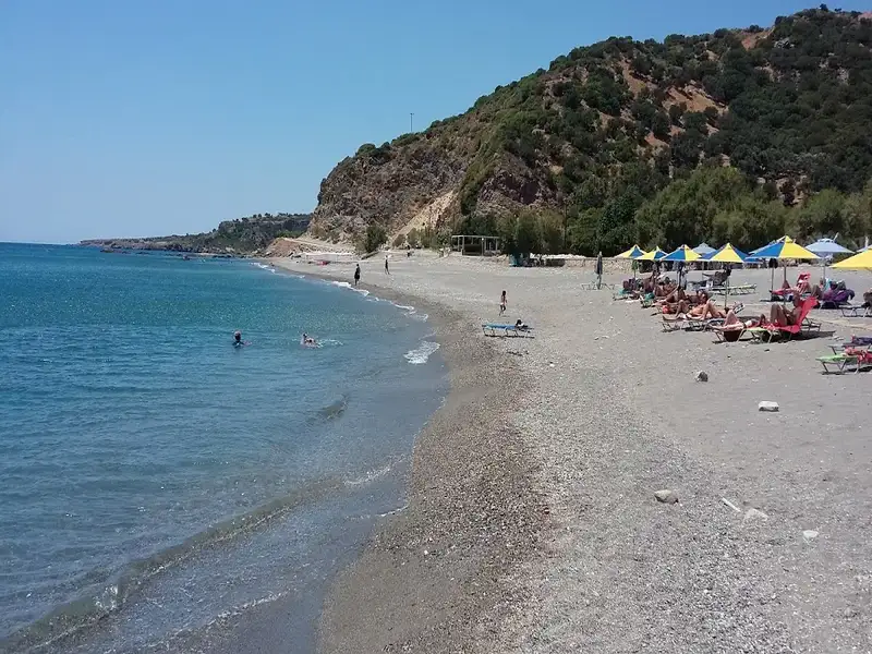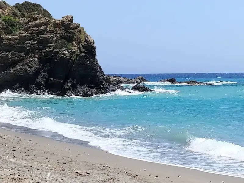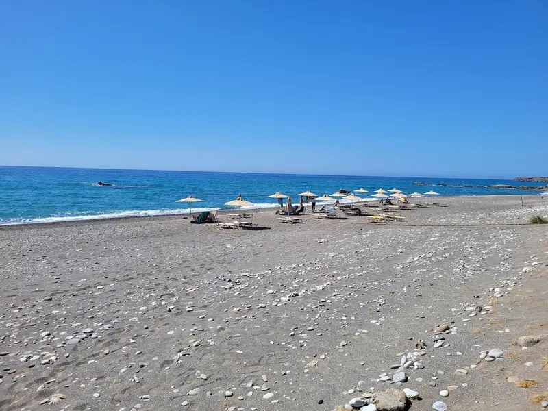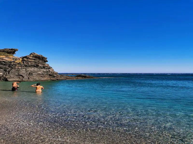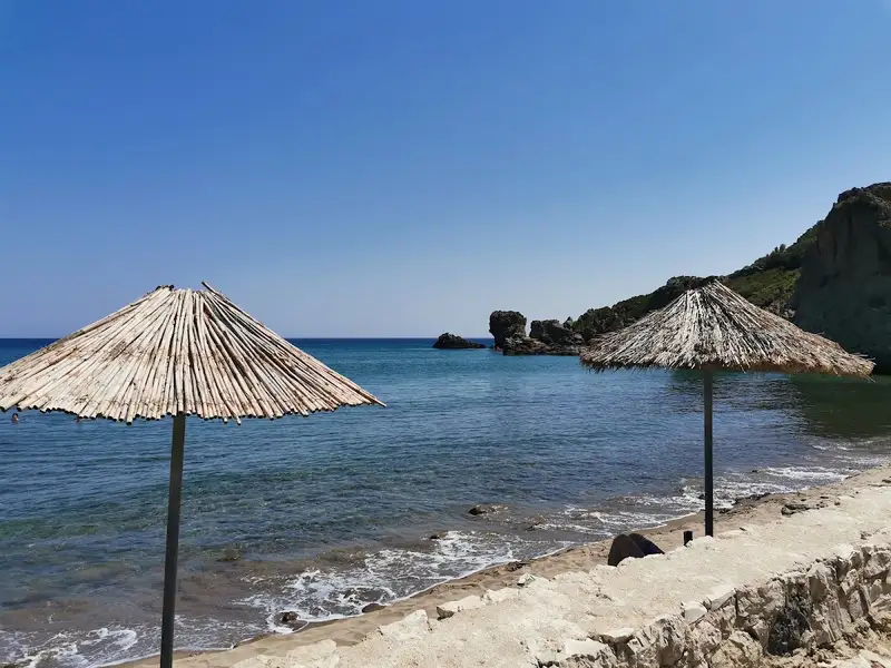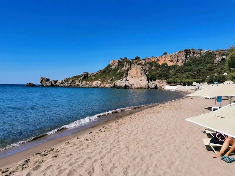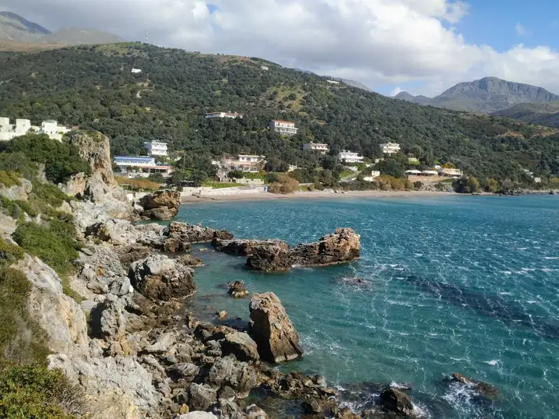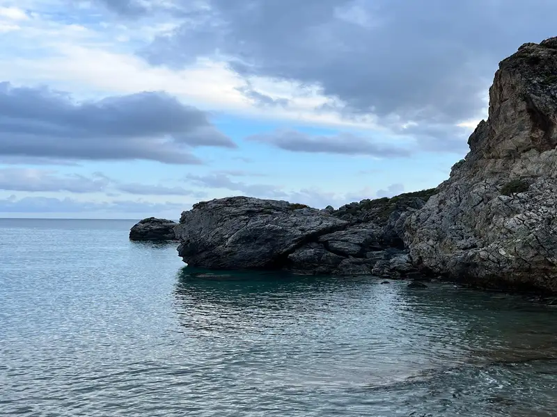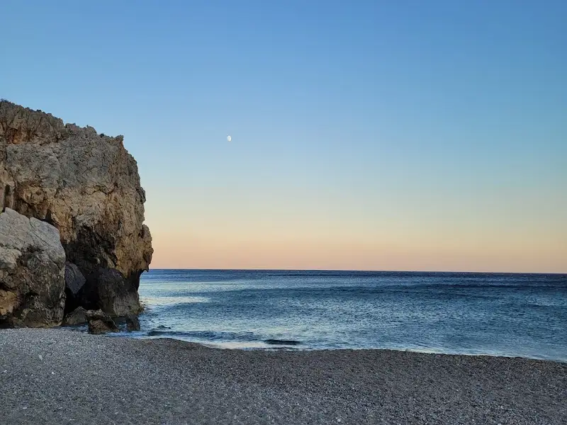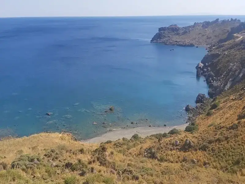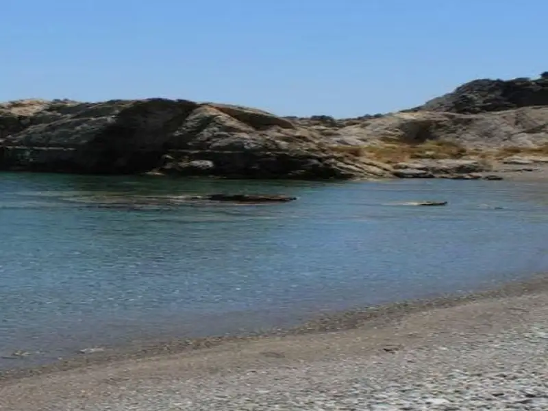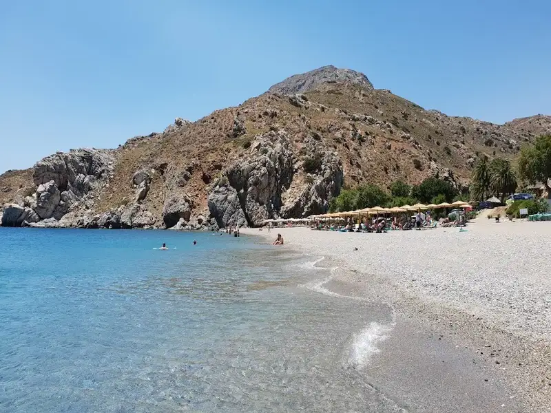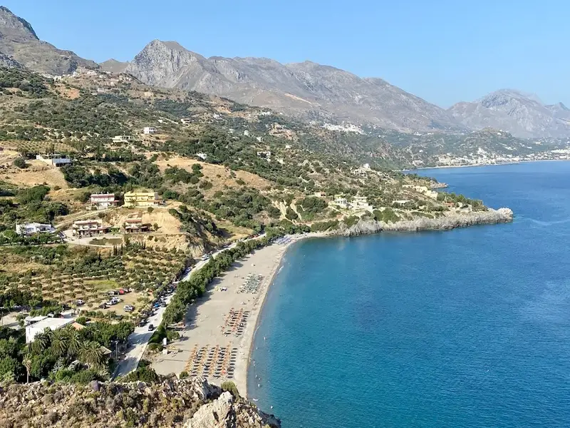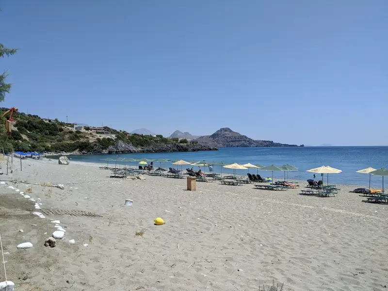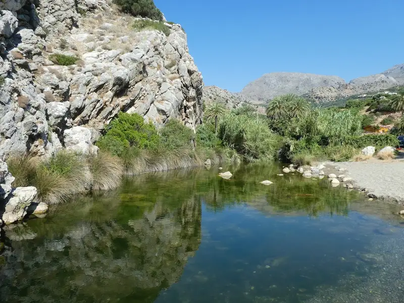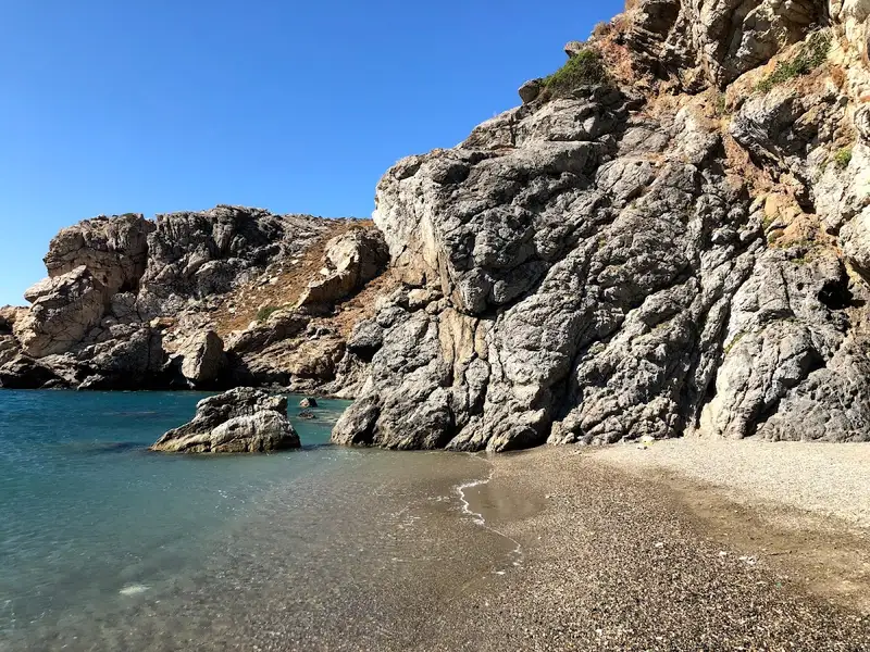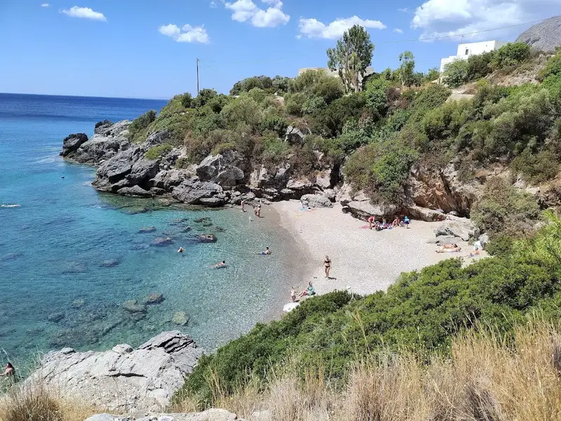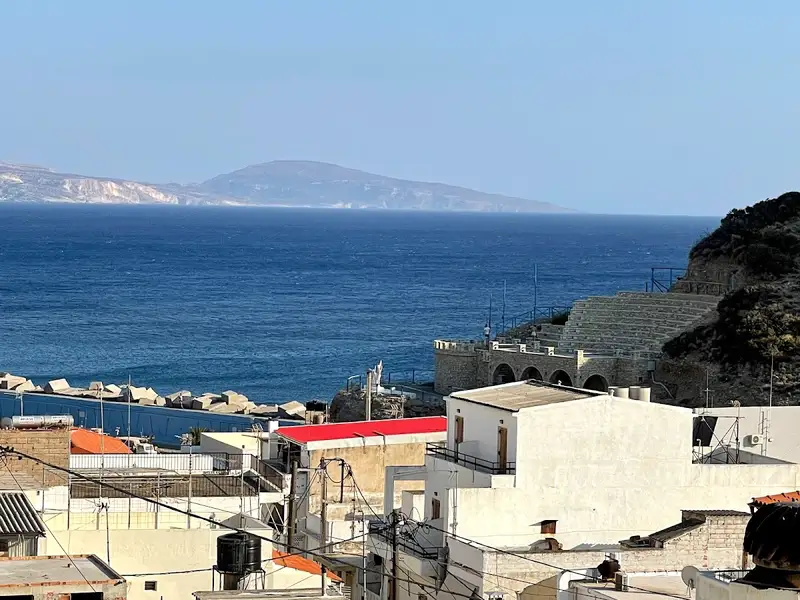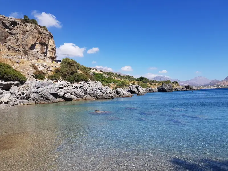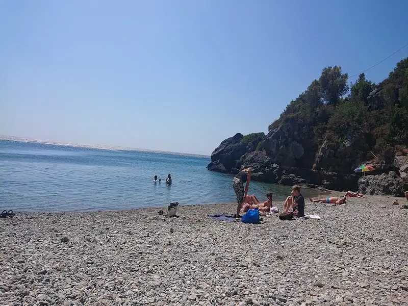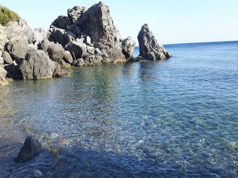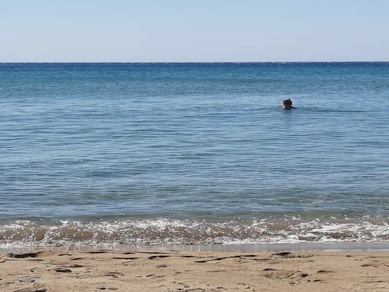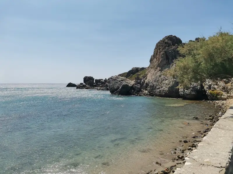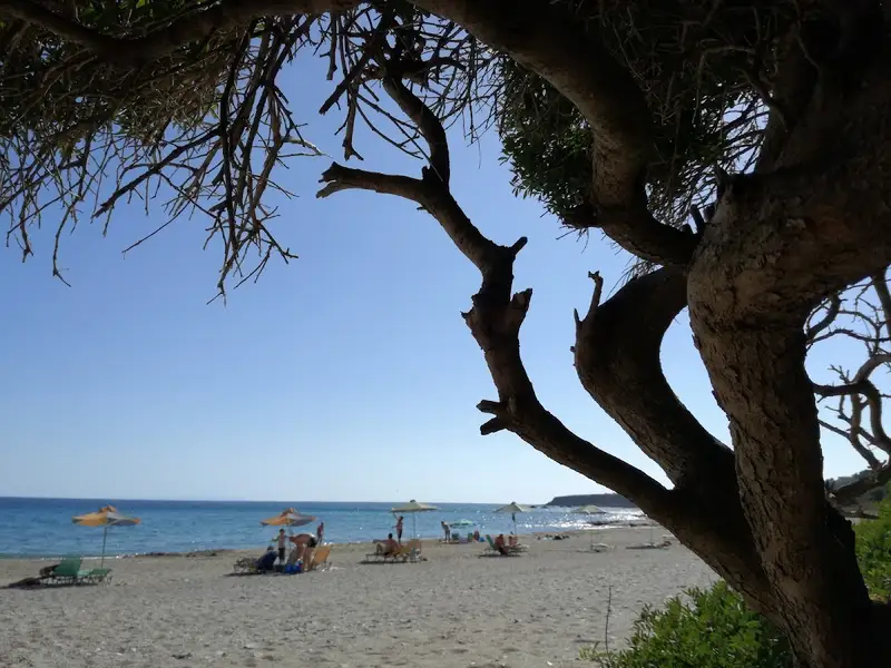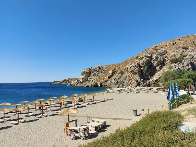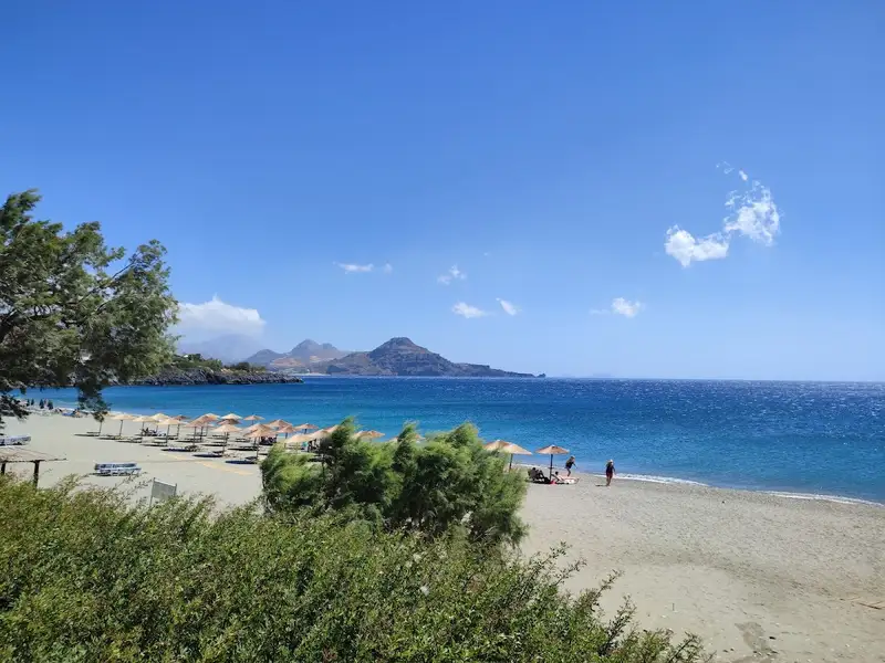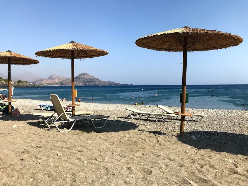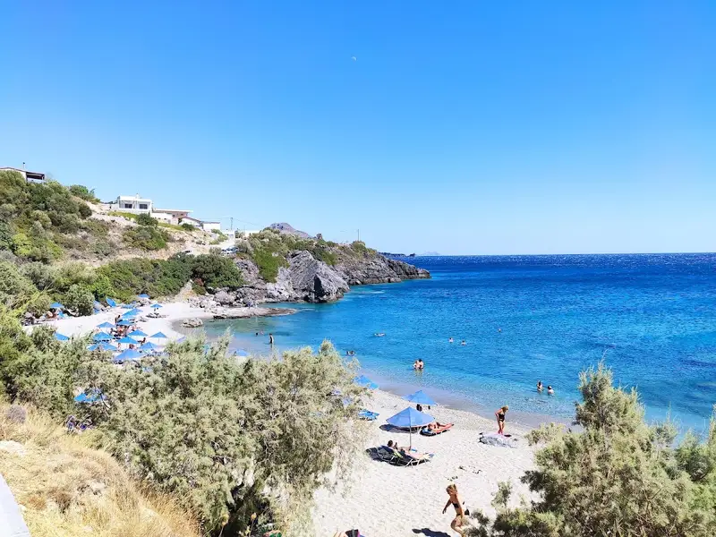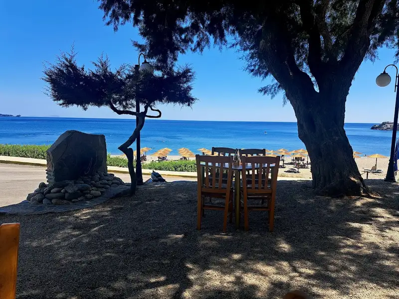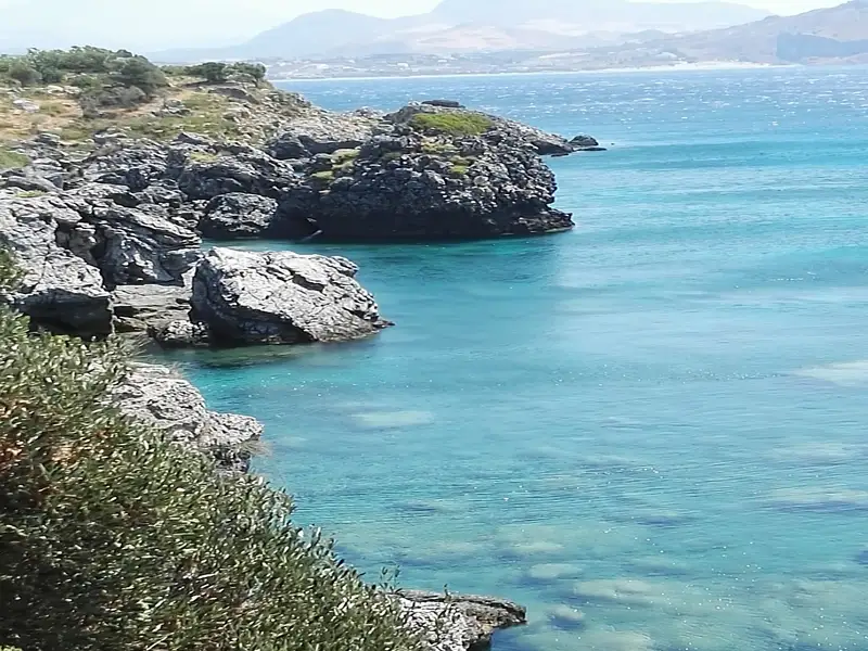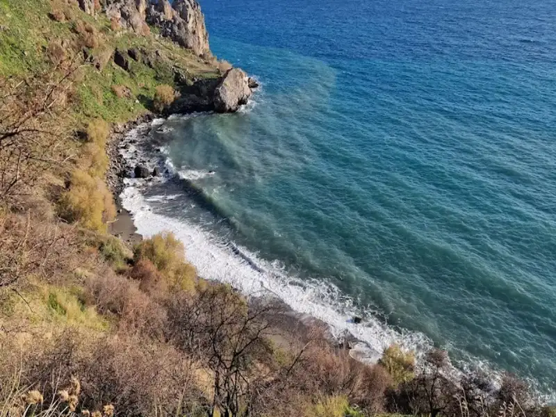
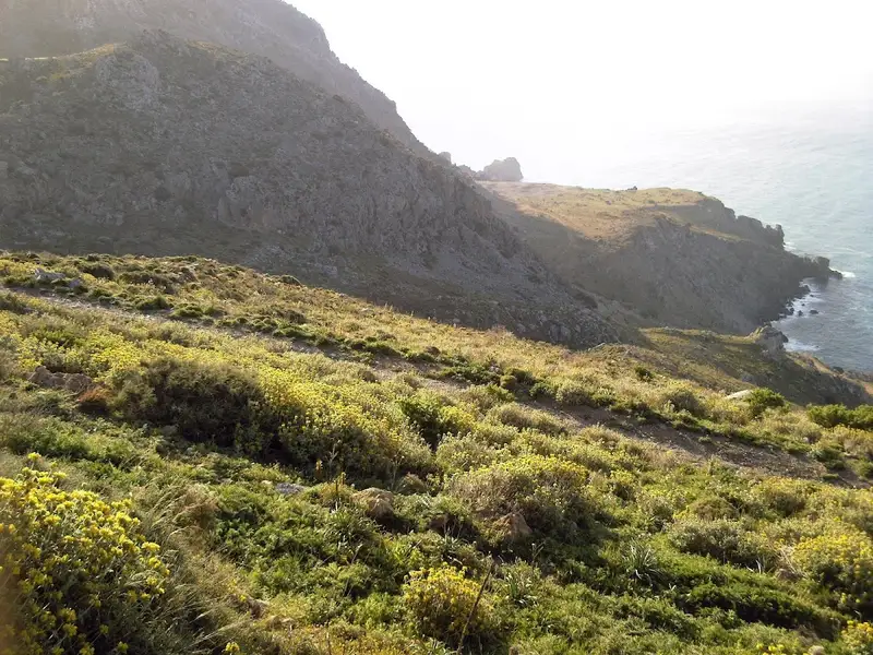
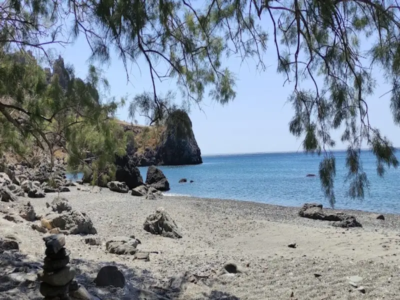
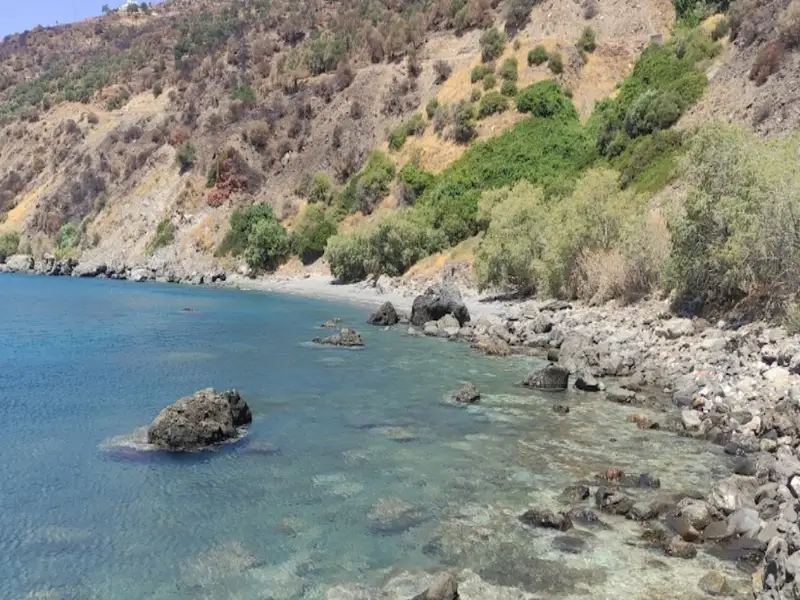
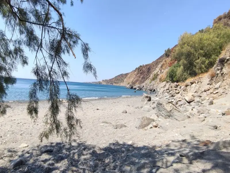
Klimata, known for its vines, is a 45km journey south from the city of Rethymno, situated next to the popular Korakas beach, close to Rodakino village. Korakas and Klimata are divided by a brief, rocky cape. Klimata is a petite bay consisting of three sequential beaches. Rodakino’s small harbour is found on the bay’s west side, reachable via a cement-paved path that starts from Korakas. From here, the first beach is easily accessible, positioned just beside the harbour. To get to the other two beaches, one can either walk through the first beach or take the dust road that links Korakas to Souda beach in Plakias.
Klimata is not organised in any way, with only Korakas beach being so. All three beaches are known for their fine pebbles and transparent waters. In certain areas, the rocky sea floor is ideal for snorkelling. It’s likely that these beaches will be deserted, except for a handful of privacy enthusiasts or naturists. Klimata, meaning vines, is named after the vineyards that were once grown on the nearby slopes.
Situated 45km southeast of the city of Rethymno, right on the edge of the steep Rodakino canyon that cuts through the Kryoneritis mountain, is the village of Rodakino. The village is nestled between the resort of Plakias to the west and Fragokastelo to the east. Rodakino, a traditional Cretan village, spreads on both sides of the gorge, creating two distinct settlements known as Kato and Ano Rodakino. From the village, one can enjoy the stunning views of the azure South Cretan Sea. The village derives its name, which translates to ‘peach’ in Greek, from a peach tree that managed to grow in the region’s arid climate. Some locals, however, believe the gorge was originally named Rikinthos, which over time morphed into Rodakino.
A few kilometres south of the village, where the canyon’s torrent meets the sea, lie several serene beaches. To reach them, one must follow the road leading to Korakas beach. Despite being blessed with an extensive beachfront, Rodakino has managed to preserve its traditional charm and tranquillity. The first beach you encounter at the end of the dry river is the Korakas beach, named after the Greek word for ‘crow’. It boasts of a long coastline with fine greyish pebbles and crystal-clear waters. There are a few amenities like umbrellas, taverns and rooms for rent. On the eastern end of the beach, there are hollowed-out rocks that locals believe once resembled a crow’s beak before being eroded by the sea and salt.
In the vicinity of Ano Rodakino, you’ll find the age-old churches of the Assumption, Transfiguration and Saint Panteleimon. Kato Rodakino is home to the old churches of St. George, Prophet Elijah and St. Anthony. Adventure seekers can follow the E4 trail to the summit of Kryoneritis Mount and then descend to Alones. At the peak, you’ll find the Church of the Holy Spirit, where a grand festival is held annually. According to local folklore, a shepherd discovered an icon of the Holy Spirit in a hole near the chapel, guided by the light of the Holy Spirit. The icon would mysteriously disappear when taken home and reappear at the same spot. This story led to the construction of the church. Moreover, the first flag of the Revolution was unfurled at the Kourkoulos site on May 24, 1821, by Melchizedek Tsouderos, the abbot of the Preveli monastery.
During the Cretan revolution of 1866, Korakas bay played a significant role as a landing spot for Greek cruisers unloading munitions, which were stored in the nearby Skotini cave. It was also the site where the famed steamship “Arcadi” made one of its final voyages to deliver munitions but was forced to retreat by the Ottomans.
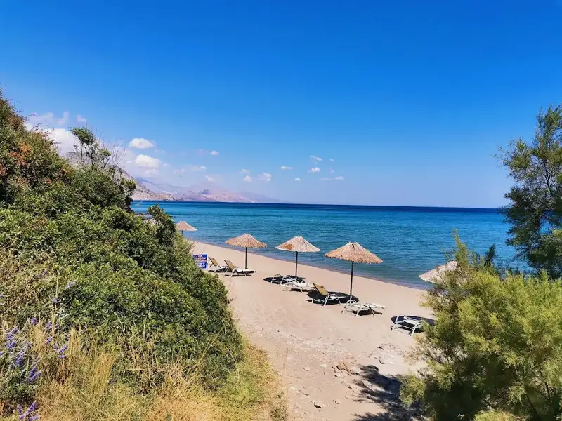
Rodakino, a village situated 45km southeast of Rethymno city, can be found at the mouth of the steep Rodakino canyon that cuts through the Kryoneritis mountain. This village lies a few kilometres west of the Plakias resort and east of Fragokastelo. Half a kilometre west of Rodakino’s primary beach, Korakas, you’ll find Polirizos beach, encircled by lush olive groves. To reach Polirizos, you need to follow the paved road heading west from Korakas, which runs along the coastline. After crossing a small sandhill and a few minor coves, you’ll encounter the tiny Polirizos settlement, complete with accommodations and taverns. A charming small beach with fine sand and serene, shallow waters extends in front of Polirizos.
This beach, which is slightly organized with umbrellas and sunbeds, is a perfect spot for children. The coastal road ends here due to the rocky Kastelos hill that rises on the western part of the coast and extends inland. On the hill’s other side, you’ll find the awe-inspiring long bay of Peristeres, which can be accessed by turning left approximately 500m after Polirizos.
Peristeres, situated 47km southwest of the city of Rethymnon, is nestled between the villages of Fragokastelo and Rodakino. This beach is a well-known spot among Greeks due to its association with Alexis Tsipras, the former Prime Minister of Greece, who loved this beach. The beach extends from the western side of Kastelos hill all the way to Agia Marina. It comprises two separate coves and is typically tranquil, given its less accessible location compared to nearby Korakas and Polirizos beaches. There are no amenities on the beach, only a few small taverns. The beach is pebbly with some rocky patches, and is often frequented by nudists and campers who find respite under the large carob trees.
In Greek, Peristeres translates to ‘pigeons’, a name originating from the small sea caves at Kastelos cape where pigeons nest. These caves, located beyond the eastern end of the beach, are strikingly beautiful with arches, massive boulders, and tiny sandy beaches inside. The sea bed, reminiscent of an aquarium, is a perfect spot for snorkelling.
This beach also holds historical significance as it was from here that German General Heinrich Kreipe was transported to Egypt. Kreipe, the general commander of the land forces of “Fortress Crete” or Festung Kreta, was captured in Heraklion by two British officers and Cretan resistance fighters. After evading German patrols and traversing the mountains, they reached the southern side of the island where a British Motor Launch picked them up on May 14, 1944. This daring operation infuriated Hitler and is considered one of the most audacious of the Second World War. A resident of Rodakino village still possesses Kreipe’s handcuffs. The bay was also used by allied submarines and destroyers to bring in supplies for the battle against the Germans.
To reach Peristeres, one can either take the paved road from Polirizos heading west and then turn left onto the first dirt road, or use the 4km dirt road that connects Lakki, near Skaloti village, with Polirizos.
Situated 47km southwest of Rethymno and 84km south of Chania, nestled between Fragokastelo and Rodakino village, is Agia Marina. It is also 2km south of Argoules village. The beach presents a mix of sand, fine pebbles, and occasional rocky areas, making it an ideal spot for spearfishing and snorkelling. The beach is not organized, so it’s essential to bring your own necessities. Small canteens can be found at Peristeres beach, a short 3-5 minute walk to the east. The towering carob trees provide ample shade, especially on windless days.
To reach Agia Marina, follow the dirt road that connects Skaloti village (or Lakki beach) with Polirizos beach. Just before reaching Polyrizos, take the route to Peristeres beach and continue along the seaside dirt track until you arrive at Agia Marina. This same dirt road extends to Lakki beach.
The beach is named after the chapel of Agia Marina located on its shores. A small river, which draws water from the White Mountains through the Argoule gorge, flows into the beach year-round.
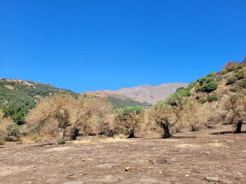
Perkins is a remote and dry area of southern Crete, nestled between the villages of Rodakino and Plakias, 43km to the south of Rethymno. This harsh terrain is dotted with a handful of secluded beaches, accessible either by boat or via the off-road route linking Souda beach to Korakas beach. From east to west, the beaches include Kokkinos Volakas, Stavri, Filadelfi, Parahoristra, Agios Antonios, Hohlakas, and Klimata.
The primary beach in Pefkias is located near the Souda bay and is known as Kokkinos Volakas (Red rock), named for the reddish rock found at its eastern end. A small beach alongside the rock houses a tiny cave and a small cluster of Cretan Date Palms, which originated from the neighboring Souda palm grove. The beach is pebbly and rocky, making it a perfect spot for fishing and snorkeling. Also, due to the lack of natural shade and minimal visitors, it is an ideal location for nudists.
To the east lies the smaller beach of Stavri, which is equally isolated and deserted. Visitors are unlikely to encounter anything or anyone else here. Like Kokkinos Volakas, Stavri can also be reached via the same off-road path connecting Souda to Rodakino.
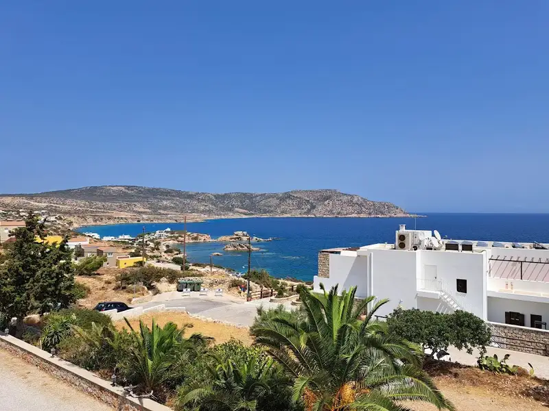
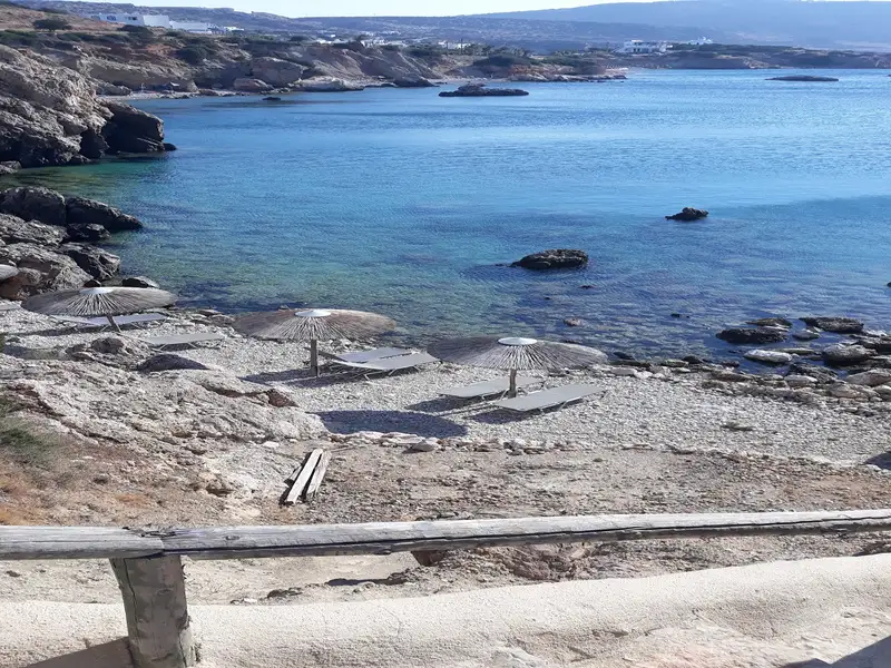

Lakki, also known as Laki or Lakkes, is situated 81km southeast of Chania and 48km southwest of the city of Rethymno. It’s nestled close to Fragokastelo, a mere 2km to the east, and adjacent to the village of Skaloti. The beach, which can be reached by a drive from Skaloti, is to the west of Lakki, where a small stream from the Sfaggofarago Gorge flows into the sea.
The area is characterized by several picturesque sandy coves separated by petite rocky piers. It’s a tranquil location with minimal organization, featuring a handful of accommodations and taverns. The bustling region of Fragokastelo is within walking distance, making it convenient for those with vehicles.
Lakki is perfect for peaceful holidays, particularly for families and children. The sea is pristine and rarely crowded. Some coves provide umbrellas, but the abundance of tamarisk trees ensures ample shade.
If you find the time, a walk to Skaloti village is worthwhile, where you can appreciate the stunning Byzantine church of Prophet Elijah, constructed in 1335.
Souda is nestled 41km to the southwest of Rethymno city, and a mere 3km east from the bustling resort of Plakias. Don’t mistake it for Souda Bay, the natural harbour of Chania city. It is, in fact, the final beach along the Plakias seafront, known as Yialia, commencing at Shinaria many kilometers away. Situated at the mouth of a verdant valley, Souda is crisscrossed by the Finikas river, which flows all year round. Cretan palm trees of Theophrastus, native to the area, flourish along the river and numerous other locations, establishing Souda as a significant refuge for the species.
In the midst of this stunning landscape, a sandy beach stretches out, adored by all who visit. However, this affection can quickly turn to annoyance when the northern winds whip up the sand, blasting unsuspecting swimmers. The landscape today bears no resemblance to the secluded paradise of the 90s, where a narrow dirt path led to a rocky shoreline and a sparsely populated nudist beach. While nudists still frequent the area, they no longer enjoy the same level of comfort. The beach is now more accessible with paved roads, organized facilities, umbrellas, and showers. There are several taverns and accommodations nearby. The rocky beach edges offer ideal conditions for fishing and snorkeling. A few benches can be found above the eastern rocks on the main road, offering panoramic views of the South Cretan Sea.
The secluded Viglistiri beach is nestled between the peaceful town of Lakki and Orthi Ammos, near Fragokastelo. The primary way to reach this beach is by boat, given the complexity of the area’s dirt road network that makes it difficult to locate. Low vegetation provides a natural border to the beach. In 2014, the Sfakia municipality designated this beach as pet-friendly.
Situated 37km south of Rethymno, nestled between Plakias and Souda’s beach, Fotinari (also known as Foteinari) offers two serene beaches resting in a compact bay rich with vegetation. The rocky seabed provides a perfect spot for fishing and snorkelling activities.
These adjoining pebbly beaches lack organisation, however, you can easily find accommodation and dining options nearby. As you approach from Plakias, heading towards Souda beach, the first beach you’ll encounter is the Small Fotinari, also referred to as Fotinaraki, due to its smaller size compared to the following beach, the Big Fotinari.
Both beaches are conveniently located near the main road, which runs directly over them. Two brief stone paths cut through a pair of small woods, leading straight to the beach. Additionally, Big Fotinari offers shade beneath the towering rocks that surround it.
No results available
© All rights reserved. Crete Locals