The quaint seaside village of Agios Ioannis, situated 73km south of Heraklion, lies just south of Kapetaniana village. Kapetaniana is nestled near the highest point of the Asterousia Mountains, the Kofinas Peak. It’s worth taking time to explore the Byzantine Church of the Panagia and the Church of the Holy Cross in Kapetaniana, or try your hand at the local climbing track.
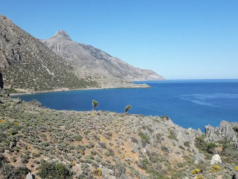
You can journey from Kapetaniana to Agios Ioannis via an 8km dirt road. Beginning at an elevation of 750m, the route offers breathtaking views of the South Cretan Sea and the rugged landscape of Asterousia. At the end of a dusty, bumpy ride, you’ll arrive at the settlement where residents, primarily from Kapetaniana, spend their summers. Unfortunately, illegal construction mars the splendid southern Cretan scenery. Agios Ioannis derives its name from the ancient cavernous monastery of Saint John, adorned with striking frescoes.
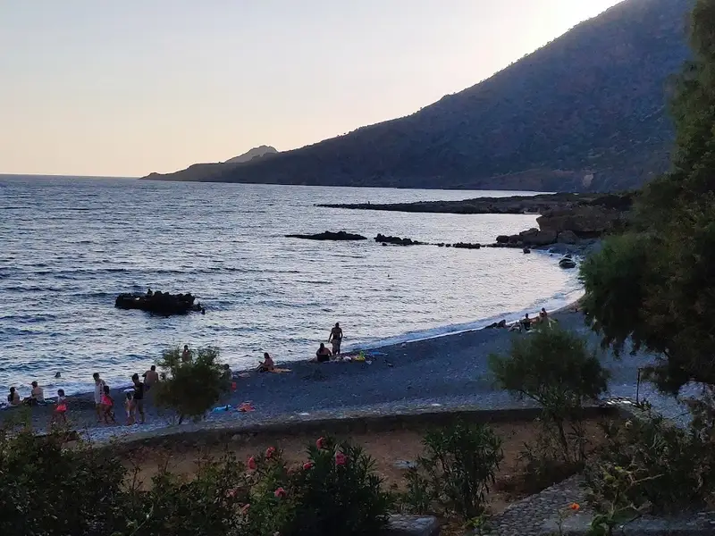
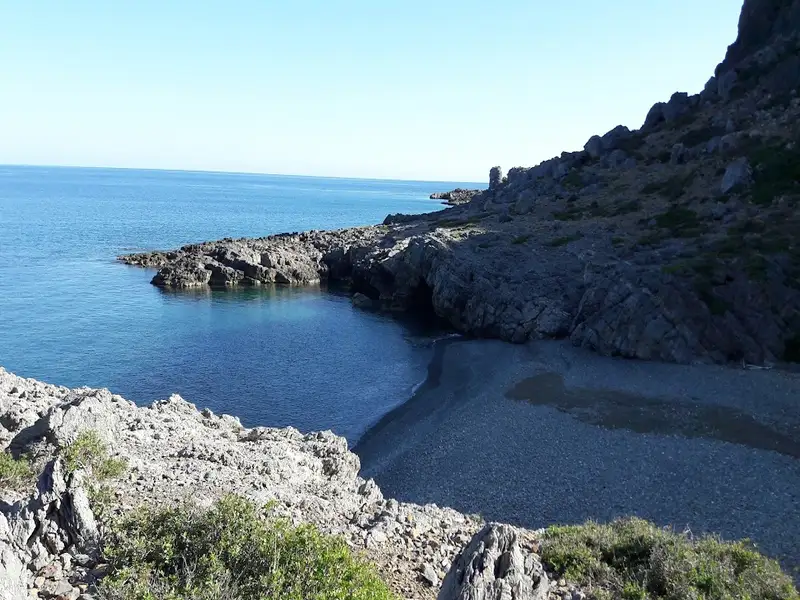
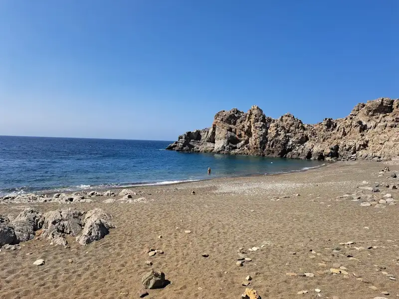
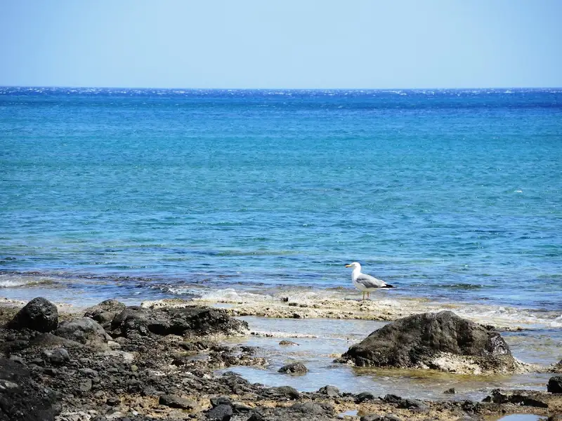
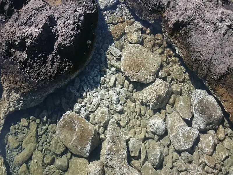
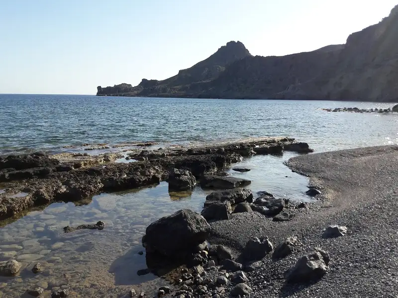
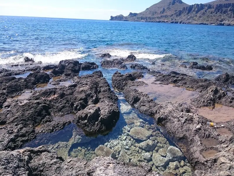
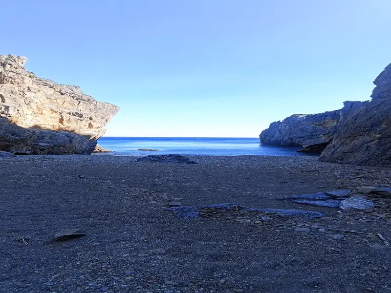
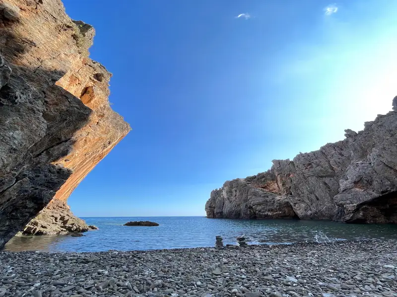
The village of Agios Ioannis is nestled at the base of and along the small Ponda peninsula. To the west of Ponda, lies the serene Agios Ioannis beach, a haven of small pebbles and vibrant turquoise waters. Its rocky seabed is ideal for fishing. While it’s not officially organized, you’ll still find locals enjoying the beach. A few taverns, a mini market, and some accommodation options are available. Camping is also a great way to enjoy the tranquility of the area.
If you prefer more solitude, the beach of Eligia to the east of the peninsula is a must-visit. This beautiful beach, adorned with fine pebbles, is rarely crowded. Located at the end of the Volahas gorge, named after the Cretan word for rock, volakas, Eligia houses a small cave rumored to contain a princess’s treasure after her demise, hence the name Princess cave. Locals, however, refer to it as Gourounospilios or Pig Cave, after the pigs that were once kept there. There’s also a remarkable well on the beach, known as Kakopigado, where you can drink fresh water all year round. For those seeking even more seclusion, Agios Antonios to the east is worth exploring.
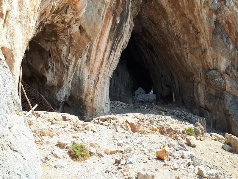
St. Anthony, also known as Agios Antonios, is situated 71 kilometers south of Heraklion, nestled between the village of Agios Ioannis and Koudoumas Monastery on Crete island. This secluded area is accessible only by a footpath linking Agios Ioannis to the monastery, meandering amid pine trees. Midway along the path (20′-30′), a Δ-shaped cave housing the quaint St. Anthony chapel can be observed from a distance. The cave, adorned with stalactites and stalagmites, drips holy water into three troughs. This cave was once a refuge for monks, including Saint Parthenios and Evmenios, the founders of Koudoumas Monastery.
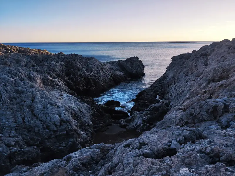
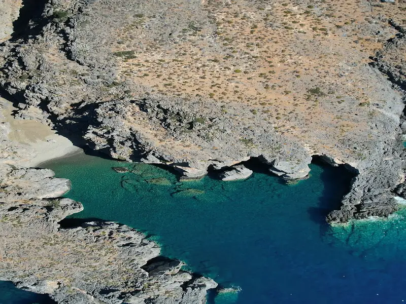
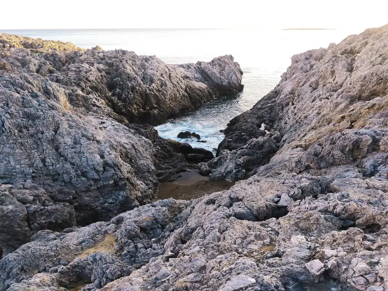
The surrounding landscape is dotted with several small bays that house pristine beaches with coarse sand and crystal-clear deep waters. These secluded beaches are encircled by towering cliffs and small caves providing shade. The remoteness and challenging access make this location perfect for those seeking solitude or for fishing enthusiasts, as it can only be accessed by swimming from the sides. The largest beach is named Agios Antonios or Green Beach, named after the nearby St. Anthony’s cave and the sea’s hues. The two smaller coves to the west are known as Small (Mikro) Agadiko and Big (Megalo) Agadiko, which are not directly visible from the trail. Additionally, the small cave of Hostospilios, located west of Agios Antonios and near Agadiko beaches, is also worth visiting.
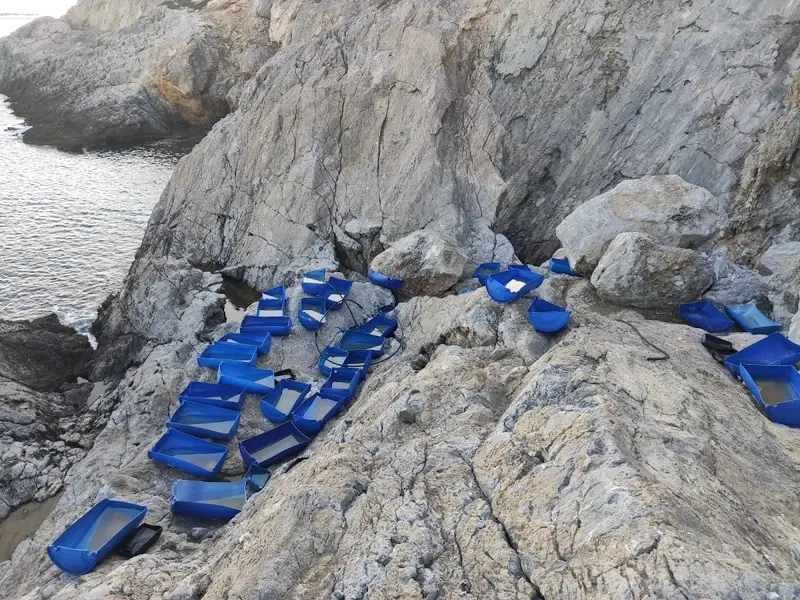
The Salamia(s) Bay, situated 74km south of Heraklion and between Agios Ioannis and Tripiti, is one of Crete’s most secluded regions due to the absence of nearby roads. It can be accessed via boat or an easy walk from Agios Ioannis, following a crossing at the Avolakias beach. The bay’s name, Salamia, has its origins from the Italian word ‘salamentum’, meaning brine, which shares a root with the word salt – a product still harvested by locals in the Salamia area.
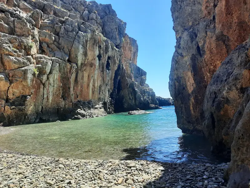
The Salamiano Gorge, one of several canyons found in the Asterousia Mountains, opens out at Salamias. At the gorge’s exit, numerous beaches with rough sand are formed. The area is adorned with a small grove of wild olive trees, providing a serene setting for swimming and fishing, particularly for those with a boat. As the area is often deserted, naturism is permissible.
The gorges surrounding Salamias (including Flomias, Koumos, Gerakia, Goula, Eligia, and others) serve as crucial habitats for a variety of rare avifauna and plants. These regions remain among the few places in Crete that are authentic and untouched by human activity.
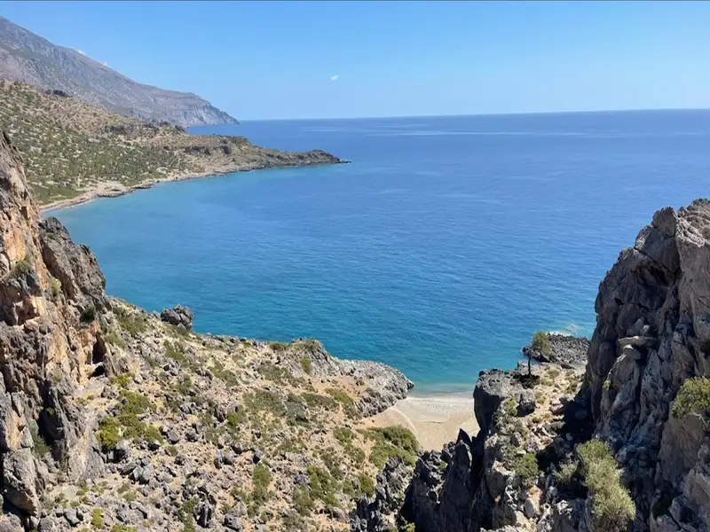


The petite stone-strewn beach, Vourlidia, situates at the termination point of the Flomias gorge, on the western region of Salamis bay, and at the bottom of Cape Oxa. This remarkable beach is accessible after a demanding hike from either the Agios Ioannis settlement to the east or from Tripiti beach to the west. The area surrounding the beach can be reached via a poorly maintained dirt path from the villages of Koumasa or Kapetaniana.
Katarti, a small beach nestled at the mouth of a narrow gorge, is situated 73km south of the city of Heraklion, at the base of Cape Oxa on Crete island. This secluded beach is enveloped by the untamed and majestic landscape of the Asterousia Range, lying southwest of Kofinas peak. One rugged dirt track from Salamias bay provides road access to the beach, but primarily, it is reached by boat or on foot from Agios Ioannis or Tripiti beach, located 2.5km westward.
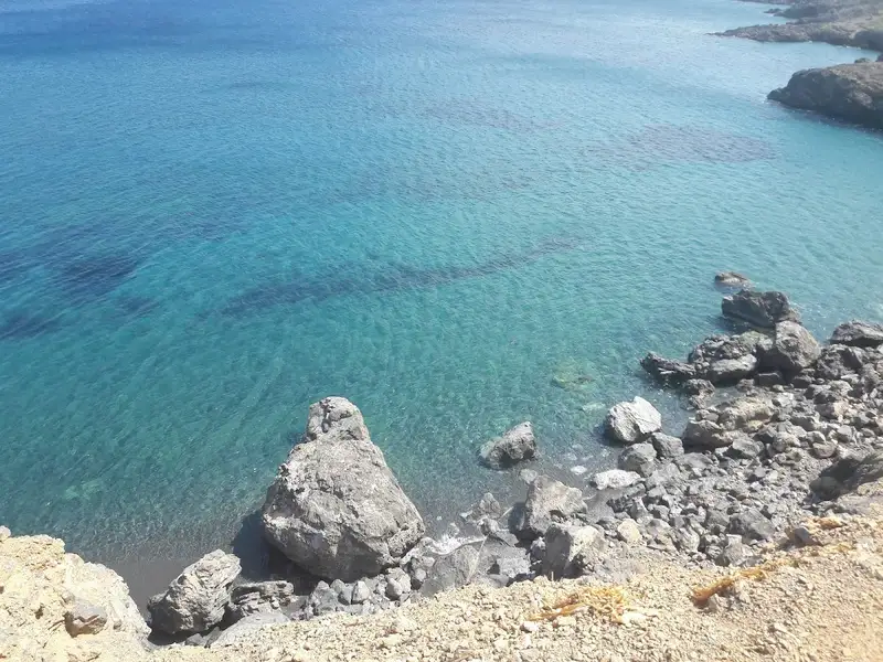
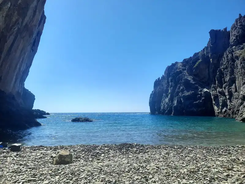
The region is a haven for fishing enthusiasts as the rocky seabed still teems with fish, despite the damaging illegal use of dynamite by some locals. Katarti’s coastline is adorned with white pebbles and its waters are crystal clear and deep, while the surrounding rocky shores are strikingly beautiful. The beach is flanked by tall cliffs, a natural extension of the gorge’s walls into the sea, offering both wind protection and shade.
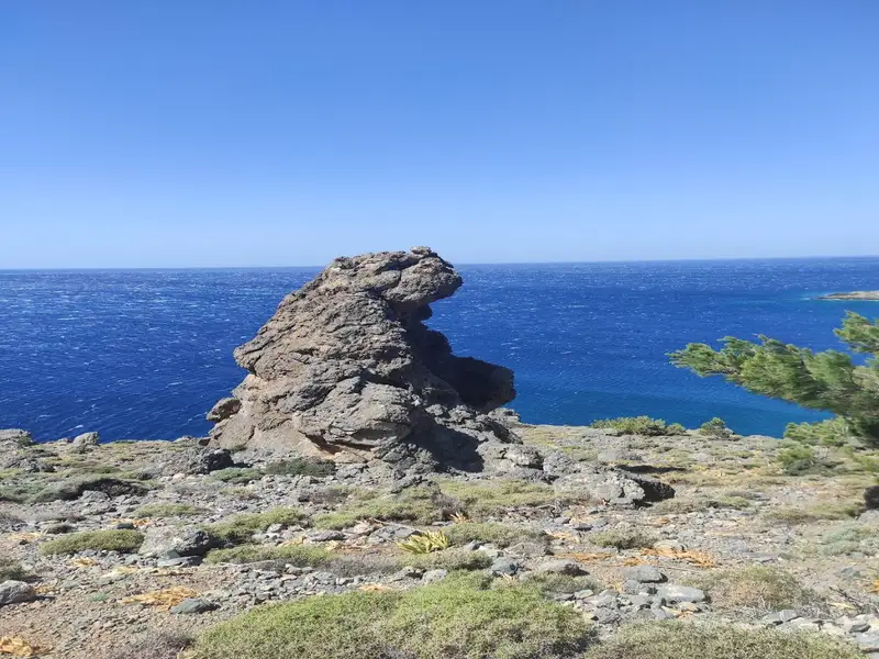
The name Katarti, translating to mast in Greek, is inspired by a tall boulder in the sea nearby. Some locals also refer to it as Arkouda, meaning bear, asserting that the rock formations resemble a bear!
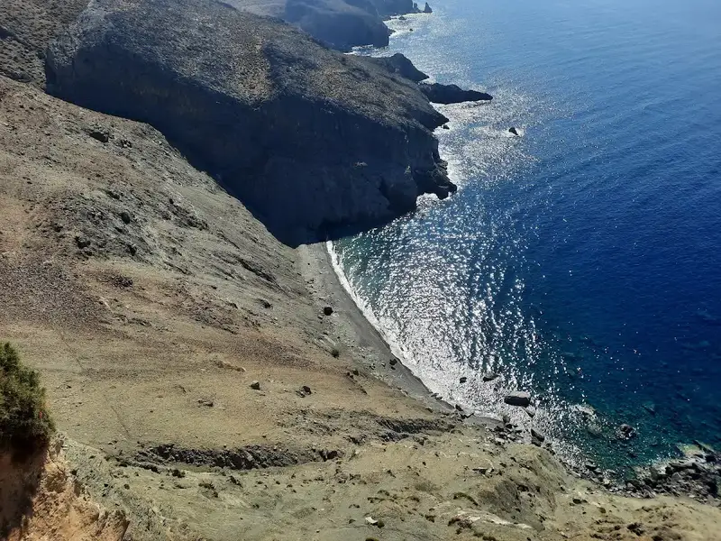


Located in the Kalokambos region, approximately 73km south of the city of Heraklion, Leprias, also known as Lepries, is a quaint pebbly beach nestled amidst the rugged and awe-inspiring landscape of the Asterousia Range, southwest of Kofinas peak. The beach is accessible via a hiking trail that starts at Tripiti beach and leads to Agios Ioannis. Leprias beach is set against a steep dirt slope that erodes and crumbles, reminiscent of a leper’s skin, giving the beach its name, derived from the Greek word for leper.
The safest way to descend to the beach from the trail is from the bay’s western end. The eastern part of the beach boasts impressive caves that provide shade throughout the day. As you travel between Leprias and Tripiti, you will encounter other beautiful beaches in the Kalokambos area, characterized by their rocky bottoms and favored by local fishermen.
The Koudoumas Monastery is nestled 74km south of Heraklion, on the western edge of Cape Martelos and beneath Kofinas Peak, the highest summit of the Asterousia Mountains. This region is dotted with cavities, once the refuge of hermits. Getting to the monastery involves a 20km drive on a dirt road originating from Sternes village, which takes you from an elevation of 1000m down to sea level. The descent offers breathtaking views that might even induce vertigo! The path is lined with pine and cypress trees, many contorted by the forceful winds.
In front of the monastery, a beautiful pebble beach with crystal clear, cool waters awaits. It’s a perfect spot for swimming and tranquil moments. Please be aware that nudism is not permitted here. Besides the monastery, there is no other infrastructure for several kilometres, so ensure you have all the essentials with you. Camping on the beach is allowed, as long as you respect the monks’ privacy. To the east of the beach, numerous caves provide shelter and shade.
Dedicated to the Assumption, the Koudoumas Monastery was initially a small church within a cave. The original chapel, constructed in the 14th century and dedicated to Christ, was either abandoned or destroyed by pirates. In 1878, Saints Parthenios and Evmenios started constructing the monastery over the old church ruins. Today, it has been restored, with the ancient frescoes now visible. A newer, second church honouring Saint Parthenios and Evmenios has also been built, with their feast day celebrated on July 10. The monastery houses the relics of these saints.
Each year, on July 10 and August 15, hundreds of worshippers flock to the monastery to celebrate and spend the night on the beach, partaking in the feast. If you visit Koudoumas, take a 15-25 minutes walk westwards to the Cave of Avakkospilio, home to monks in the past. The cave boasts an impressive array of stalactites, stalagmites, and large columns. In antiquity, it served as a fertility goddess worship site, where childless women were brought. You can also trek to the St. Anthony’s Cave (60′-90′) or follow the old footpath eastwards to the village of Paranimfi (4-5 hours).
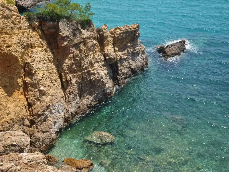
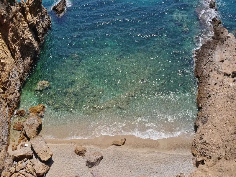
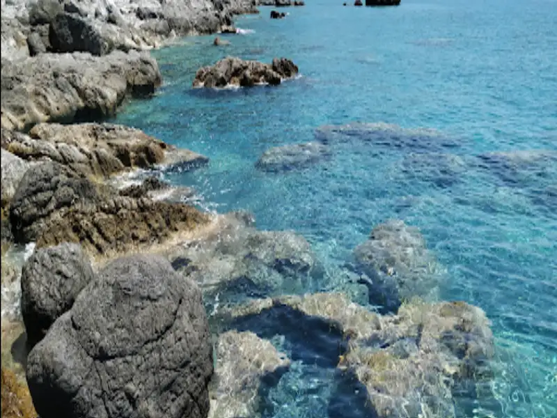
Tripiti, also known as Trypiti, lies 73km south of Heraklion and 12km east of Lendas, nestled in a small plain near the exit of the gorge of Tripiti. Its name originates from the Panagia Tripiti church, nestled within a cave near the beach and the canyon exit.
Two unpaved paths lead to Tripiti. The first commences near Lendas harbour and stretches for 6km, leading east to Kroto’s village. At the crossroads, a turn to the right, past Cape Trafoulas, reveals stunning views of the authentic Cretan countryside before arriving at Tripiti. The second route starts from the village of Vassiliki in the Messara plain, accessible via the village of Agii Deka. This route traverses the untamed Asterousia Mountains, the Trypiti gorge, and the olive grove of Agios Savvas, replete with striking karstic formations.
Regardless of the route chosen, visitors are treated to dramatic landscapes, the tranquillity of the beach juxtaposed with the rugged mountainous terrain. Upon arrival, a serene beach with pebbly shores and clean, dark green waters await. Tamarisk trees, a stone’s throw from the shoreline, provide ideal camping spots.
Overlooking the beach, in the Kalokambos area, are the ruins of the Minoan settlement of Papouri. Small windows and doors suggest that dwarfs once inhabited the dwellings. The southern view of the Cretan Sea is simply breathtaking.
While Tripiti is not a developed beach, it has a small tavern and attracts a significant number of visitors in August. The only eyesore in the landscape is the illegally constructed rental rooms and the permanently stationed caravans by locals.
For those seeking solitude, especially in August, two nearby secluded beaches offer respite. Both beaches feature coarse sand and calm waters. The first, hidden at the base of Fylakas Cape, is a haven for nudists, with its green-blue waters and rocky seabed. The second, located about 1km to the west, is Vyzaroplaka beach, a small bay aside from the Trafoulas Peninsula, perfect for snorkelling and fishing.


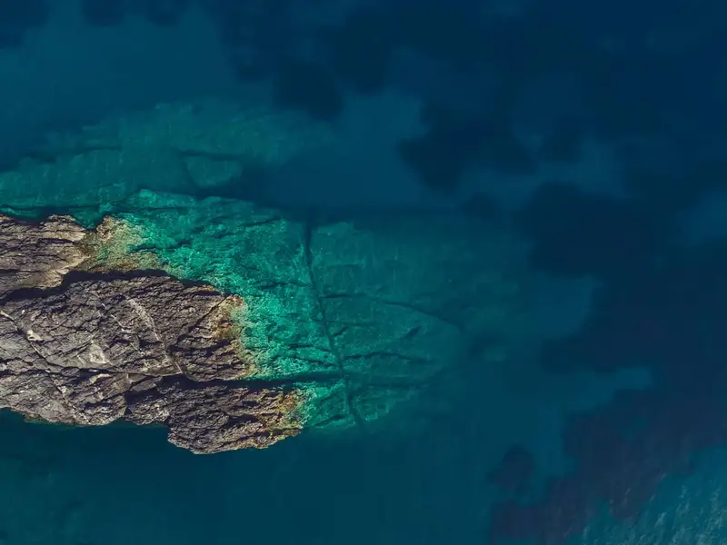
The Glykys Kolymbos beach, also known as Glykos Kolymbos, is the most westerly beach in the Tris Ekklisies region of the Asterousia Mountains. It’s a remarkable location featuring striking geological formations in the water that appear as stripes when viewed from above. The beach’s name, which translates to sweet water beach, is derived from the freshwater springs that bubble up underwater.
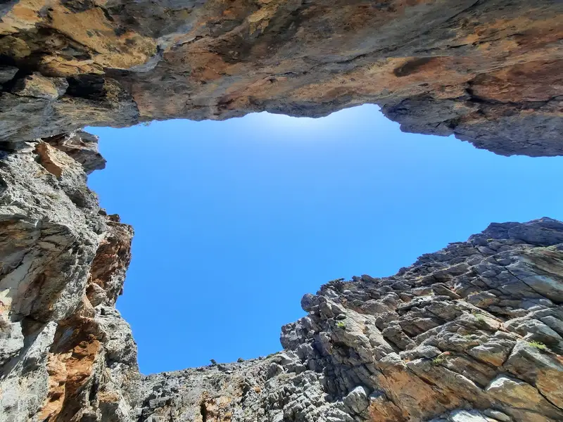
What sets Glykys Kolymbos apart are the three incredible interconnected caves at its eastern end, resembling a series of rooms. The largest of these caves stands at a height of 20 meters, and the first one is likened to a swimming pool. A stunning stone bridge takes shape at the eastern end’s extremity.
Access to the beach is primarily by boat due to the challenging land approach. However, a steep ravine after the beach’s western end allows for a descent to the beach. This ravine sits beneath a small sheepfold, right where the dirt road that runs through the Tris Ekklisies carob wood terminates. Due to the poor state of this dirt road, access is typically on foot from the Ornios beach to the west, along the steep shores. Here, you can marvel at the cliffs featuring natural arches. A unique natural balcony, a rock shelter, forms above the termination point of the dirt road, offering a breathtaking view of the sea.
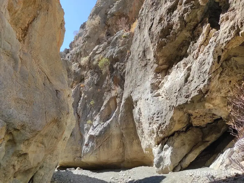
Dragon Bay, also known as Trafoulas, is situated 4km east of Lendas and 69km south of Heraklion. It’s a secluded beach on Crete’s southern coast, nestled at the mouth of a striking canyon on Cape Trafoulas or Trahilas. Legend has it that King Minos and his entourage frequented this beach, while the adjacent Loutra beach was the preferred bathing spot for his wife, Pasiphae, and her female company. The canyon is often mistakenly referred to as Steno Faragi (Narrow Gorge), which is actually a slim section of the Tripiti canyon. The lower segment of the gorge leading to Trafoulas is named Canyon Pidimatou (Jumping Canyon), due to its narrowness that allows an animal to leap from one side to the other.
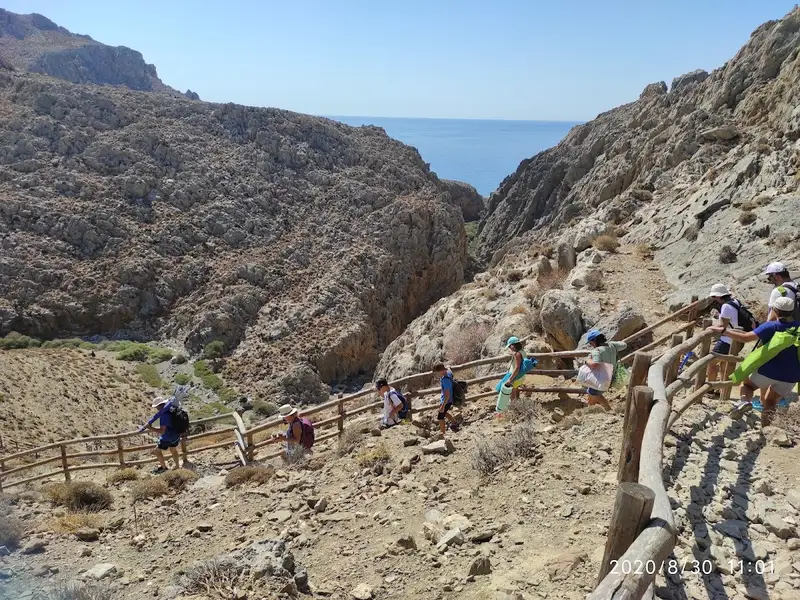
Reaching the beach requires a drive on a rugged road commencing from Lenda’s harbour (in Loutra) and heading towards the village of Krotos. After about 500m, you’ll spot the small canyon to your right and the trailhead that leads to the beach. Along the wild road, there’s a chance to enjoy a breathtaking panorama encompassing the coastline from Loutra to Lendas. Park your vehicle in a suitable spot and follow the trail to the beach, approximately a 15-20 minute walk. An alternative, yet less adventurous route, is to take a boat from Lendas to Trafoulas. The gorge itself is remarkably beautiful, abundant with oleander.
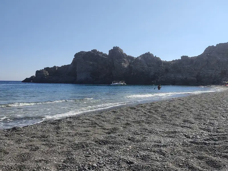
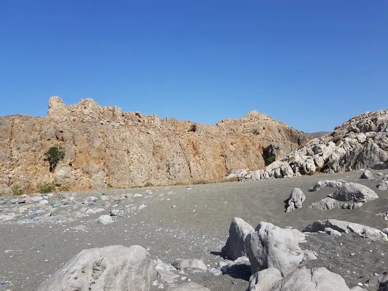
Trafoulas beach is also referred to as Psili Ammos (Fine Sand) and is considered the most exquisite beach in the larger region. It is primarily desolate, save for a few individuals occasionally residing in a massive cave on the beach. On the eastern portion of the beach, there are four caves – two high on the cliffs and two at beach level. They offer limited sun protection, assuming they are unoccupied. The cliffs on the eastern side appear to be an ideal spot for climbing, with evidence of previous use (hooks embedded in some cliffs). The beach is lengthy, featuring tiny greyish gravel and smooth rocks in the centre, with crystal-clear, deep waters. It is encircled by towering vertical cliffs that descend several meters into the sea. Weathered white rocks on the beach have formed beautiful natural marble sculptures. Pahia Ammos is also a favourite among naturists, who appreciate the seclusion from prying eyes.
The only disadvantage of the beach is the lack of shade during the peak sunlight hours, except for the cave areas.
No results available
© All rights reserved. Crete Locals