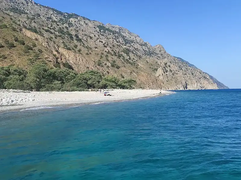
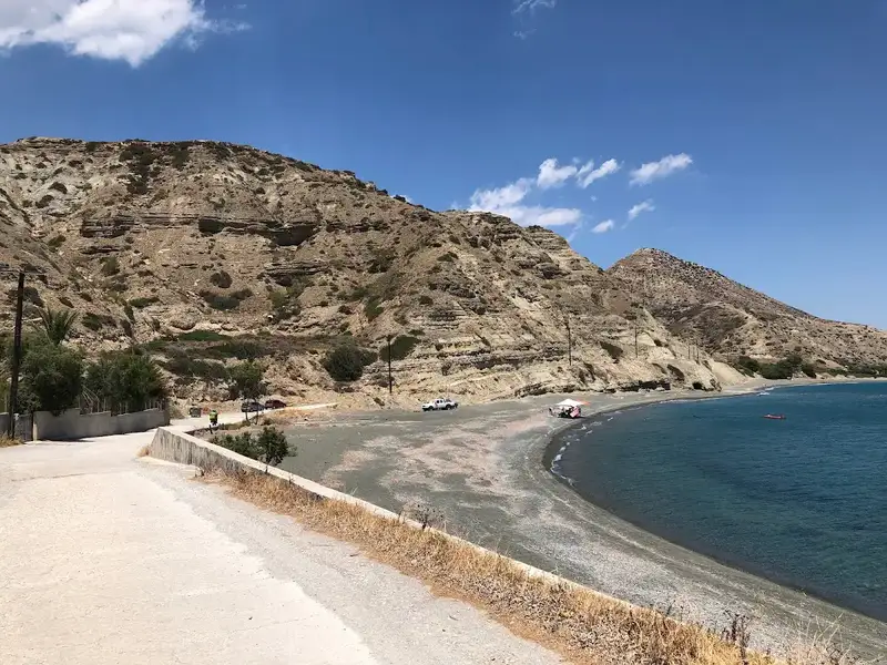
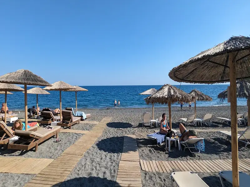
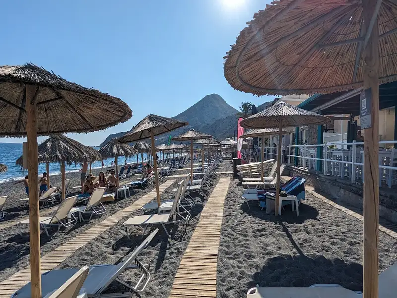
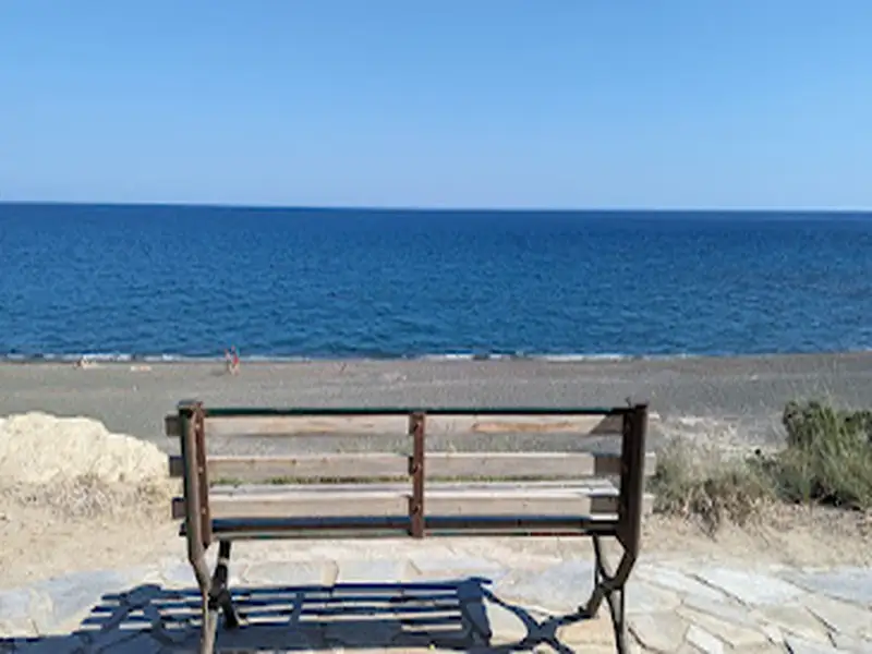
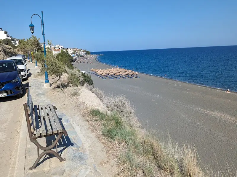
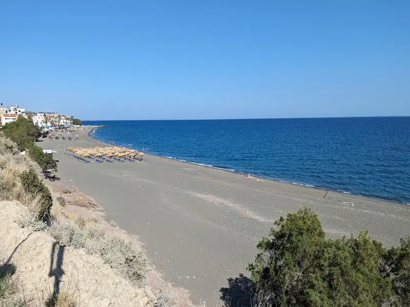
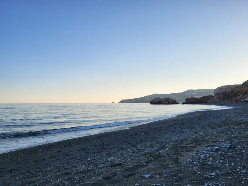
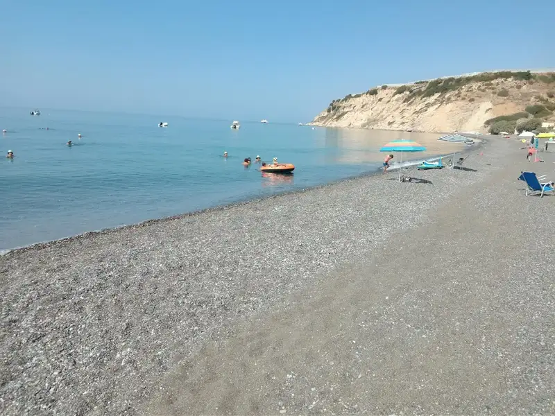
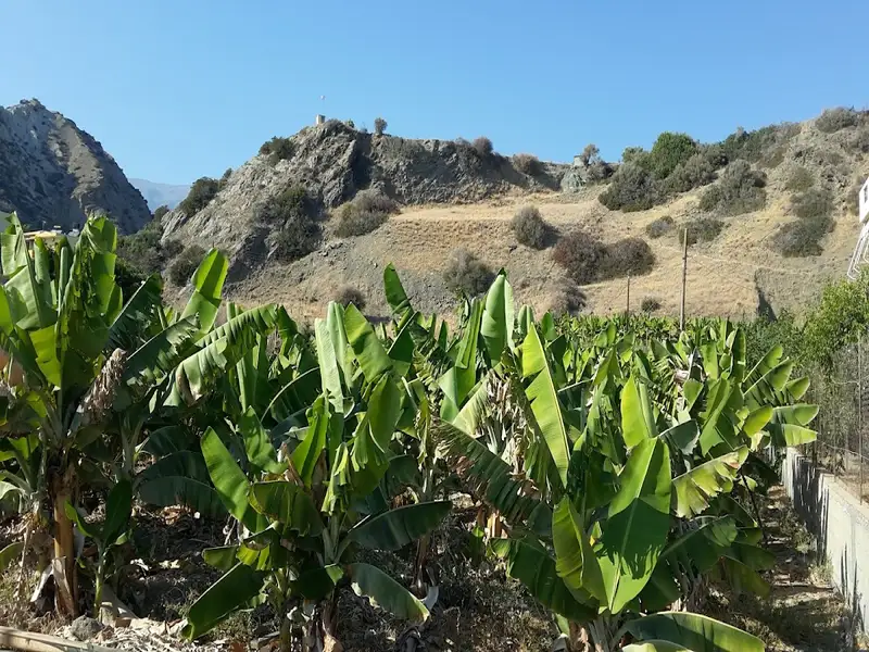
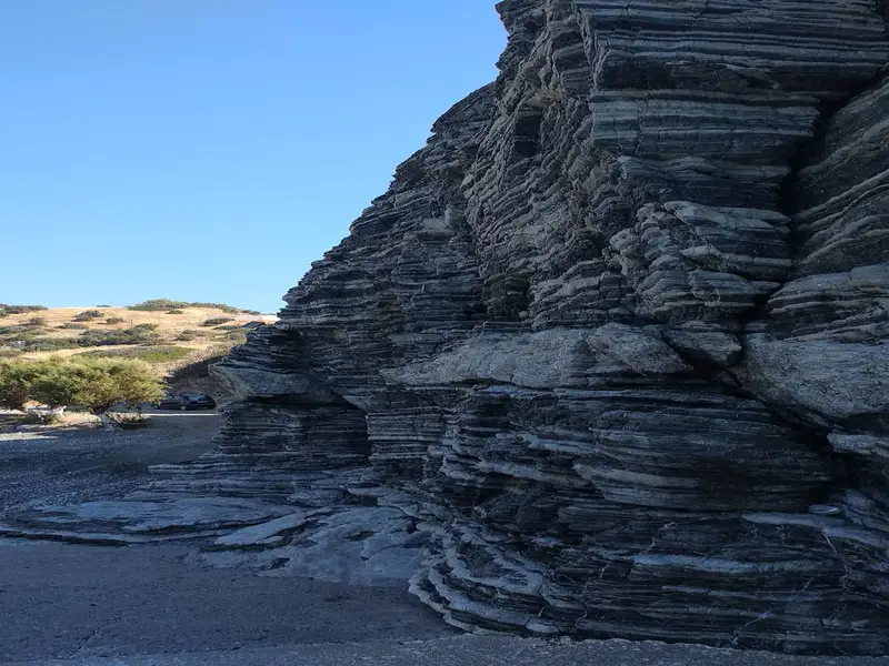
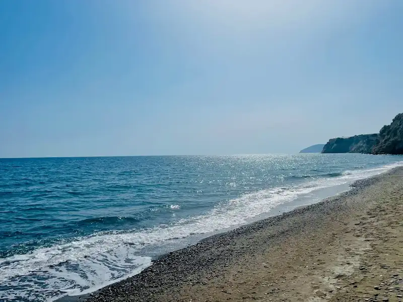
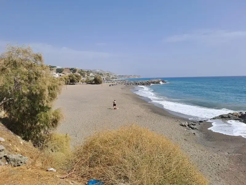
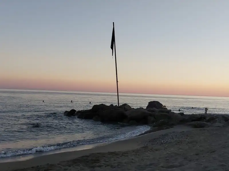
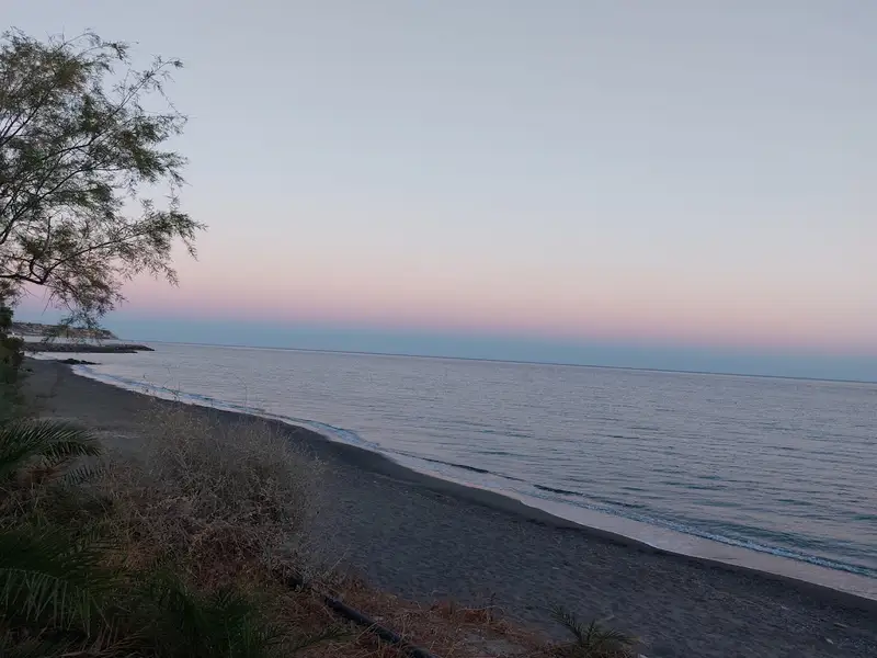
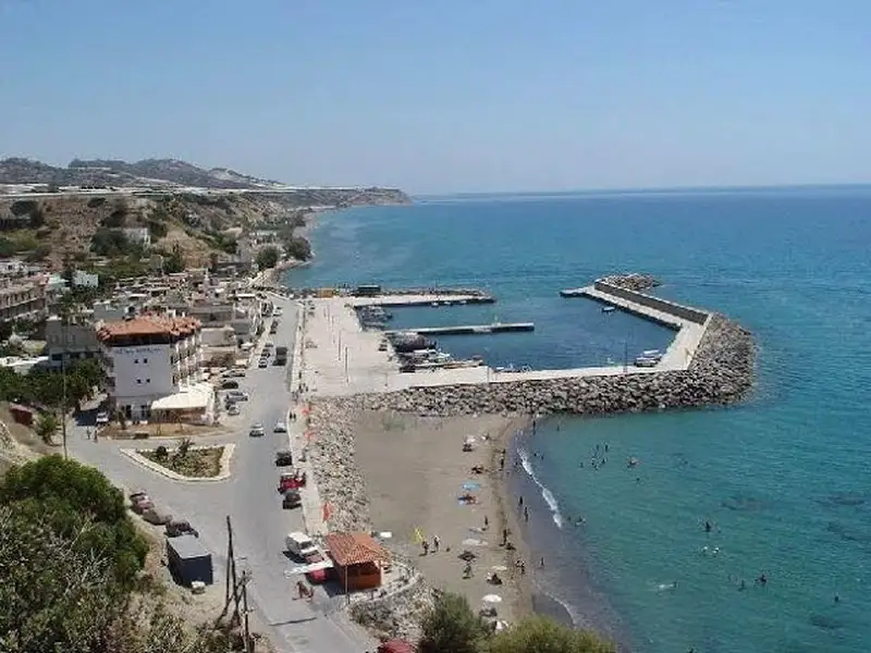
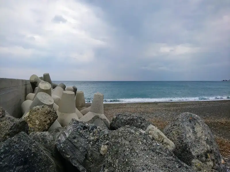
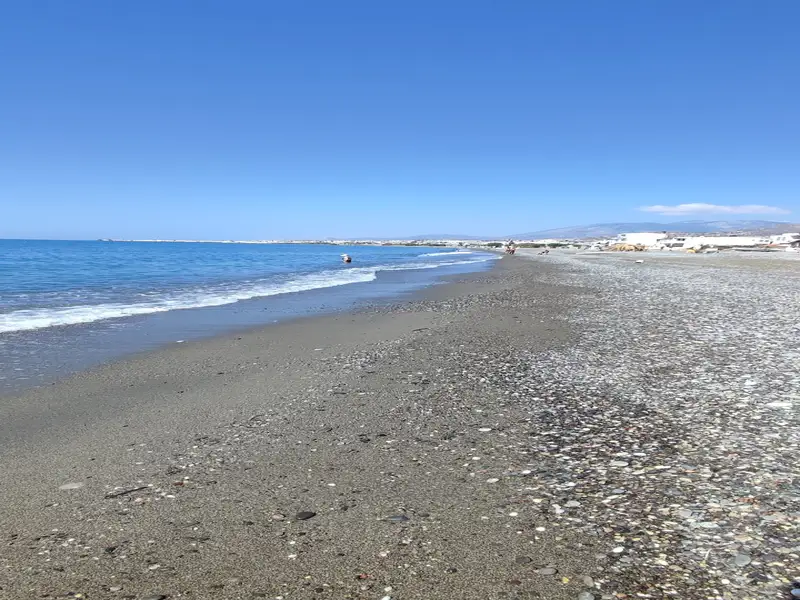
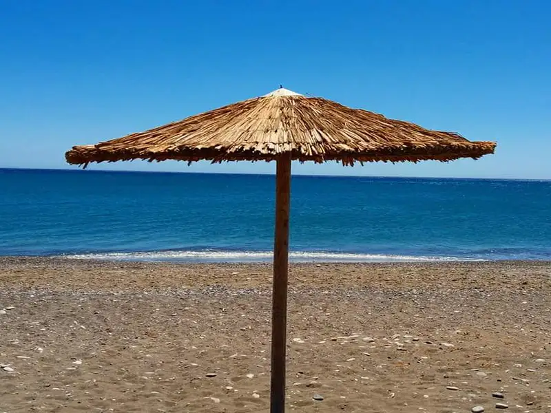
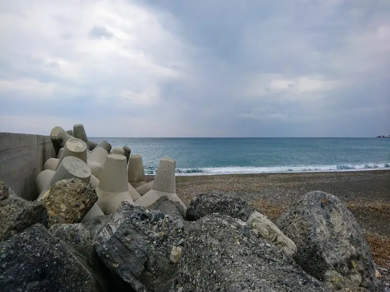
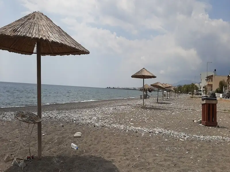
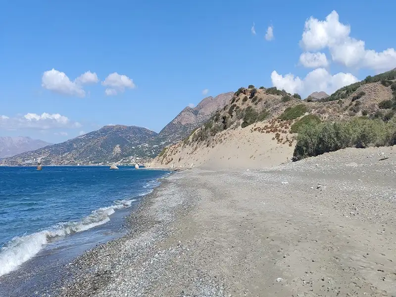
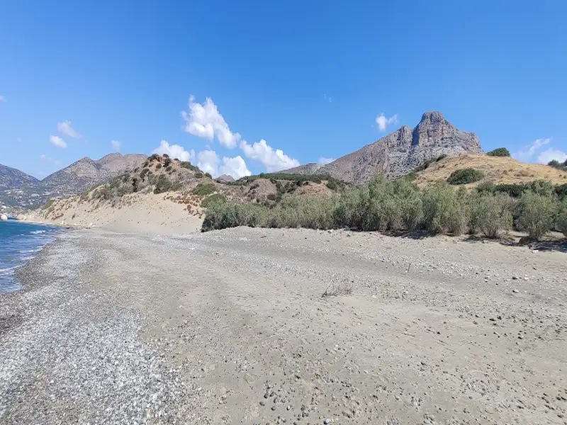
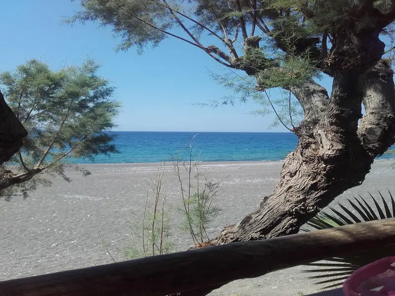
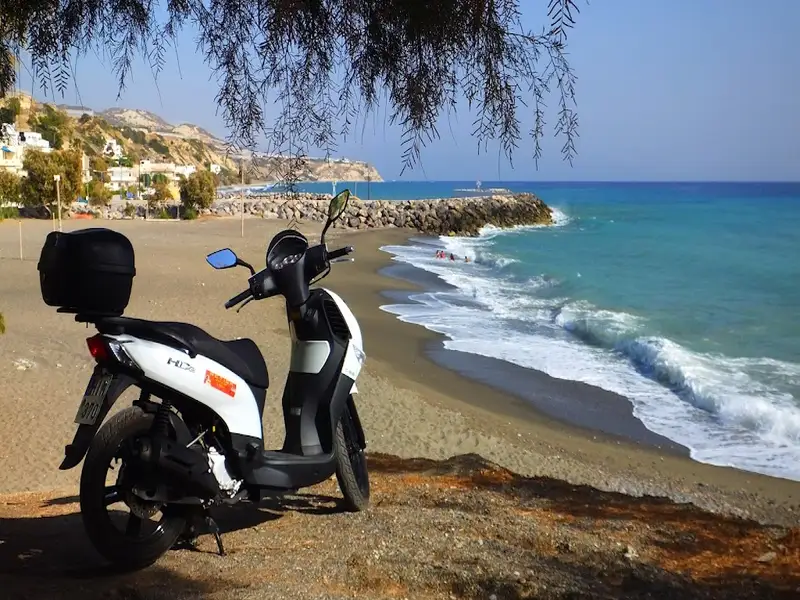
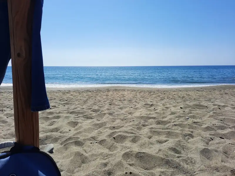
Vatos, a small settlement situated 18km west of Ierapetra and 3km east of Myrtos, falls within the jurisdiction of the village Gdohia. The village is accessible via the asphalt road that links Mirtos and Tertsa. Most of the locals earn their living by growing bananas and vegetables in the area’s greenhouses. Positioned at the entrance of a lush valley that starts in the north at Gdohia, the village boasts the expansive Vatos beach which extends east to Mirtos, featuring numerous secluded beaches along its coastline. The beach is distinguished by its unique grayish pebbles typical of southern Crete, and it’s known for its deep waters. As Vatos is not a developed area, the beach is usually tranquil, frequented mostly by locals. Some parts of the coast are adorned with tamarisk trees. To the west of Vatos, you’ll find the settlement of Kalikovrehtis, home to another pebbly beach.
If you happen to visit Vatos on July 27th, you’ll have the opportunity to participate in the feast day of the church of Saint Panteleimon. It’s also worth visiting the nearby village of Gdohia, with its narrow lanes and rejuvenating springs. A sad incident occurred in Gdohia in the autumn of 1943 when 43 residents were executed by the Nazis in revenge for the killing of two German soldiers in the village of Kato Simi. The village is also home to the ancient chapel of Annunciation, which houses rare Byzantine icons. Lastly, archaeologists have discovered traces of a pre-Minoan settlement between the beach and the village.
The Kallikovrechtis beach, situated 19km west of Ierapetra and 4km east of the scenic town of Myrtos, can be accessed via an asphalt road from Myrtos or Tertsa. This beach is part of the Ghodia village outskirts and is created at the Kalikovrechtis stream’s exit, nestled between the peaks of Kolechtos and Kako Oros, right on the boundary that separates the counties of Heraklion and Lassithi.
Kallikovrechtis is home to only a handful of cottages, and the beach itself is entirely untouched. It boasts beautiful, fine, greyish pebbles, and the water is typically tranquil. A few tamarisk trees provide shade, and due to the high and steep slopes, the beach gets shaded early in the afternoon. The road linking Teresa and Myrtos runs directly above the beach, making access quite easy.
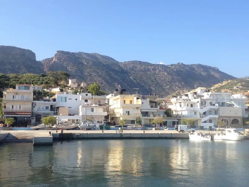
Myrtos, a quaint seaside village, lies 13km west of Ierapetra where the River Kryos meanders through the stunning Sarakina Gorge and into a valley abundant with greenhouses and citrus groves. Despite recent mild development, Myrtos has retained its traditional charm. Its appealing beaches, characterized by coarse grey sand that doesn’t stick to the skin, have amassed a global following. The village offers small hotels, bars, cafes, restaurants, supermarkets, a gas station, and a clinic, in addition to a nearby pharmacy and accessible bus route to Ierapetra.
The extensive beach, considered among the finest in southern Crete, is ideal for serene family vacations as it’s sheltered from strong winds. According to locals, Myrtos is where the wind never rages. The beach is well-equipped with lifeguards, umbrellas, showers, changing rooms, cafes, restaurants, water sports, and beach volleyball. As you head west, the beach widens and offers even more tranquility.
Take a leisurely stroll around Myrtos’ local harbor or wander through its traditional narrow streets filled with lush gardens and homes that echo Aegean landscapes. The surrounding nature and gorges are also worth exploring. Notably, you can visit two Minoan settlements, Fournou Korifi (near Nea Myrtos) and Pirgos (on the east shores of the River Kryos), which were uncovered during excavations. The Archaeological and Folk Art Museum of Myrtos, situated next to the old church of St. Anthony, is a point of interest. Lastly, a monument in the village commemorates the 18 victims who were executed by the Nazis in 1943 as retribution for the deaths of two Germans in the neighboring village of Symi.
Tertsa, a quaint village, is nestled 91km south of Iraklion and 54km southwest of Agios Nikolaos, positioned between Myrtos and Psari Forada. The village, situated in a lush valley carved by the Tsounas river, houses a fresh water spring within a small gorge formed by the river. The majority of the land in Tertsa is owned by settlers from the northern village of Sykologos, just 7.5km away. Originally, the structures in the settlement served as storage depots for carobs and citrus fruits harvested in the region. Presently, the handful of villagers continue their agricultural pursuits, their land teeming with greenhouses of bananas and fields of tomato, pepper, cucumber and more. The Byzantine church of St. George is a significant landmark near the village.
The village overlooks a tranquil beach adorned with rough grey sand. Despite its lack of development, Tertsa retains its traditional Cretan charm, with just a few taverns and rooms available. The settlement is shaded by several tamarisk trees. The beach extends westward to Vourdolakos bay, beyond the rock of Psaroharako. The beach beyond the rock, also named Psaroharako, is more secluded and beautiful than the one in front of the settlement.
Sidonia, alternatively known as Syndonia or Kato Psari, is nestled in a small valley, 89km southeast of Heraklion city, 9km east of Ano Viannos, and 1km south of Psari Forada village, also known as Mesa Psari. It’s also referred to as Psari Forada beach. It is thought to be located on the ancient town site of Sidonia. This once was a coastal village of fishermen and farmers from the village of Kalami, 9km to the north. Both Psari Forada and Sidonia are tucked away in a ravine created by a small stream.
The region’s warm climate is ideal for cultivating olive trees, subtropical fruits like bananas, and early outdoor vegetables. Recently, Psari Forada has seen modest tourist development and is now a peaceful, traditional place perfect for relaxed family vacations. The beach, stretching from Cape Theophilos in the east to Sedona hill in the west, is a beautiful coastline with dark grey coarse sand and clear, calm waters. It is dotted with tamarisk trees offering natural shade, although beach umbrellas are also available. The area boasts a few restaurants, taverns, a mini market, apartments, and a pharmacy. Water sports and beach volleyball courts are on offer.
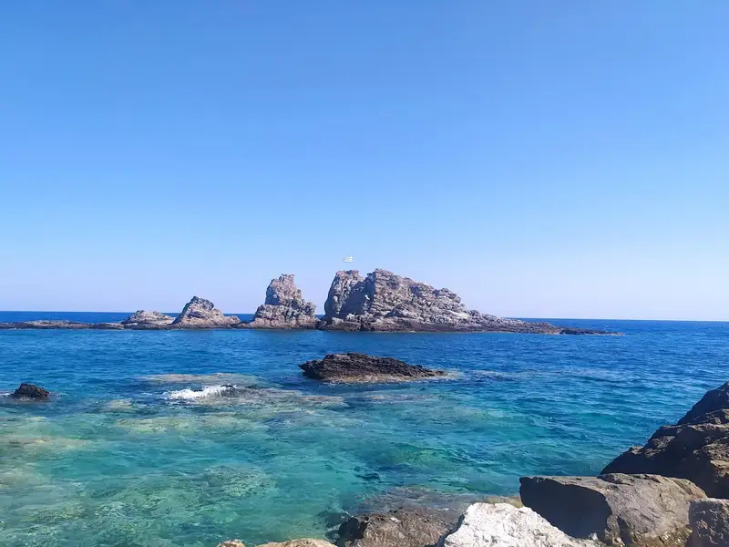
For those seeking solitude, a secluded beach called Thiofilo is located eastwards, just behind Cape Theophilos with its small lighthouse. Opposite Thiofilo is a large rock known as Psaroharako by locals. The area has deep waters and a small natural harbour. The western part of the main beach is quieter than the central section. Throughout August, the Cultural Association of Kalami village organizes beach parties and musical events. They also hold a sports event called “Sidonia,” featuring a variety of games including beach volleyball, beach football, swimming, canoeing, tug, backgammon, table tennis, racing, basketball, and shooting. Participation is open to everyone.
The name Psari Forada has a couple of origin stories. One suggests it comes from a tale of a Turkish Aga who displayed his grey mare until it died of thirst. The more commonly heard story relates to the Byzantine Era when the Saracens occupied the island. The Byzantines sent a fleet led by General Theophilus to expel them. Upon arriving at the location now known as “Thiofilo”, Theophilus’ favourite grey mare could no longer walk. Rather than put her down, he had her tied under a large olive tree and asked the locals to care for her until her death.


Situated 89km southeast of Iraklion, close to the village of Arvi, lies Faflagos. This small coastal community is nestled at the base of a valley traversed by the river Blavaris or Blavopotamos. The river is typically dry during the summer months and originates from Kato Symi. The village overlooks a sprawling beach scattered with peaceful inlets. The surrounding area is abundant with greenhouses cultivating bananas and fresh vegetables. The beach’s characteristic feature is its coarse grey sand. The village offers only basic amenities like a few rooms for rent, a canteen, and a handful of trees providing shade on the beach.
Adjacent to the west of Faflagos is the extensive beach of Latomia, fringed by greenhouses and open farms, primarily operated by Arvi’s inhabitants. The beach is primarily sandy with grey coarse sand and abundant rocky areas, making it an ideal spot for snorkeling and seclusion. Latomia stretches along the Xerokambos area, renowned for its magnificent marble rock formations previously exploited for commercial use. Reflecting its history, Latomia translates to quarries in Greek, a nod to the local stone extraction industry.
In close proximity to Faflagos stands the church of Agia Paraskevi. The site was formerly home to the Agios Prokopios monastery, which was devastated by the Arabs. This led the monks to abandon the coast and erect a new monastery dedicated to the Virgin Mary in 855, in a location concealed from the sea. The Panagia Keralimeniotissa monastery, translating to Virgin Mary – The Lady of the Ports, still stands majestically at the same spot and remains a notable attraction. Legend has it that pirates once stumbled upon the monastery, pillaged various relics, and then fled by ship. The monks beseeched Panagia to punish the pirates, resulting in a fierce storm. The pirates begged for mercy, promising to return the plundered goods and vowed to safeguard the monastery from other pirates. True to their word, they returned the stolen items and the weather subsided. Years later, they gifted a golden bell and a silver boat featuring Panagia at the helm with an inscription “To the Lady of the Ports”. Since then, all passing boats have stopped to pray to “The Lady of Ports”, giving the monastery its present name of Keralimeniotissa.
Ammoudares, a seaside location 8km west of Ierapetra and 45km south of Agios Nikolaos, shares its beachfront with nearby Nea Anatoli and Stomio. The Ammoudares coastline features a series of long beaches with coarse grey sand. They are mostly uncrowded and secluded, largely due to the surrounding greenhouses which may deter visitors due to potential pesticide use in the waters.
A kilometer east of the initial Ammoudares beach, you’ll encounter Kalamaki beach. Hidden from the main road and largely undiscovered by tourists, its sandy shores are a quiet haven. It’s also referred to as Kapelas, named after a renowned pizzeria once run by an American in the area. Kapelas translates to ‘tavern owner’ in Greek. The beach is nestled amidst towering cliffs adding to its tranquility.
Access to both Ammoudares and Kalamaki is possible via the main road from Ierapetra heading west. If you’re fortunate to visit the Ierapetra vicinity, there are numerous appealing beaches that warrant exploration. However, if solitude is what you’re seeking, both Ammoudares and Kalamaki offer a peaceful retreat.
Arvi, a sizable coastal community, lies 79km southeast of Heraklion and 35km west of Ierapetra, nestled in a small valley before the towering Arvi Gorge. The village is constructed on the site of the ancient city, Arvi. The valley and surrounding areas are home to numerous greenhouses, with the local population primarily engaged in agriculture. The region’s warm climate supports the cultivation of bananas, fresh vegetables, and olive oil. The Arvi bananas are distinctive for their aroma and unique taste, gaining nationwide fame in Greece after a banana import ban in 1981.
In recent years, Arvi has seen the development of its tourism sector, largely owing to its proximity to stunning beaches. The village is peaceful and family-friendly. The main beach, situated west of the small harbour, boasts coarse sand and occasional pebbles. It is well-equipped with amenities such as umbrellas and water sports, and there are plenty of options for accommodation and dining nearby. A short walk westward leads to a lengthy pebble-strewn beach, a more secluded spot near the main road to Amira’s village and adjacent to the pebble beach of Kolimbi settlement.
A five-minute walk west of Kolimbi takes you to the secluded sandy beach called Makis, also known as Vahoudianos Xerokambos. Nestled in a remote bay, this beach, with its fine sand and clear water, is a sanctuary for those seeking solitude.
Arvi’s history extends back at least to 2600 BC, as evidenced by Neolithic artefacts found in the area, likely attracted by the region’s favourable climate. During the Roman period, Arvi was a significant Mediterranean port. A Roman bath discovered near the Saint Panteleimon church and numerous tombs, unfortunately looted, bear testament to this era. The most notable discovery is a marble sarcophagus adorned with Dionysiac scenes, unearthed by locals near the sea in the 19th century. Regrettably, the sarcophagus was broken by locals in search of gold and is now displayed and restored at the Fitzwilliam Museum in Cambridge. A similar fate befell a second sarcophagus belonging to the region’s Roman ruler, which was broken to build the church’s altar, although its lid was saved and is also displayed in the same museum.
The village of Arvi derives its name from the temple of Arvios Zeus, worshipped on nearby Arvion Mount. It is believed that the sanctuary was constructed at the mouth of the wild Arvi Gorge, where the Monastery of Saint Anthony now stands. The monastery’s unique location on the steep slopes of the gorge is truly remarkable. Some scholars suggest that Arvi was the landing point for the Saracens when they took over Crete in 828 AC.
Gra Ligia is a coastal village located a short 5km journey to the west of Ierapetra and a 39km trip south from Agios Nikolaos. Nestled at the mouth of a rich valley, the village is surrounded by greenhouses filled with early-ripening vegetables. The locals of Gra Ligia were pioneers in the use of greenhouse agriculture, a practice that has since spread throughout the Ierapetra region. The profusion of greenhouses has even earned the village the nickname of “Silicon Valley of Greece”. The Bramiana dam, situated 2km north of the village, plays a crucial role in the area’s agriculture, supplying water to all Ierapetra crops and forming one of Crete’s key wetlands.
Aside from farming, tourism also forms an essential part of the local economy. Gra Ligia, with its recent mild growth, is among the newest holiday destinations on Crete. This growth has been facilitated by the appealing long beach, fringed with coarse sand that extends from Ierapetra to the Stomio region. The beach is known for its tranquil waters and is well-equipped with amenities like umbrellas and showers, albeit not on a large scale. Tamarisk trees pepper the landscape, providing shade and greenery. The beach is a popular spot for locals who enjoy swimming and fishing from their boats docked in the local harbour.
The beach is also a venue for local events such as beach soccer tournaments. If you’re fortunate, you might even have a chance to partake in the unique “xentomatiasmata” or tomato war, a tradition revived and celebrated in early summer. Gra Ligia is an ideal destination for those seeking a peaceful and relaxing holiday. In the evenings, visitors can unwind with a drink at local bars or take a short trip to Ierapetra. To reach Gra Ligia from Ierapetra, simply travel westward on the city road. Alternatively, there are bus services that pass through the village.
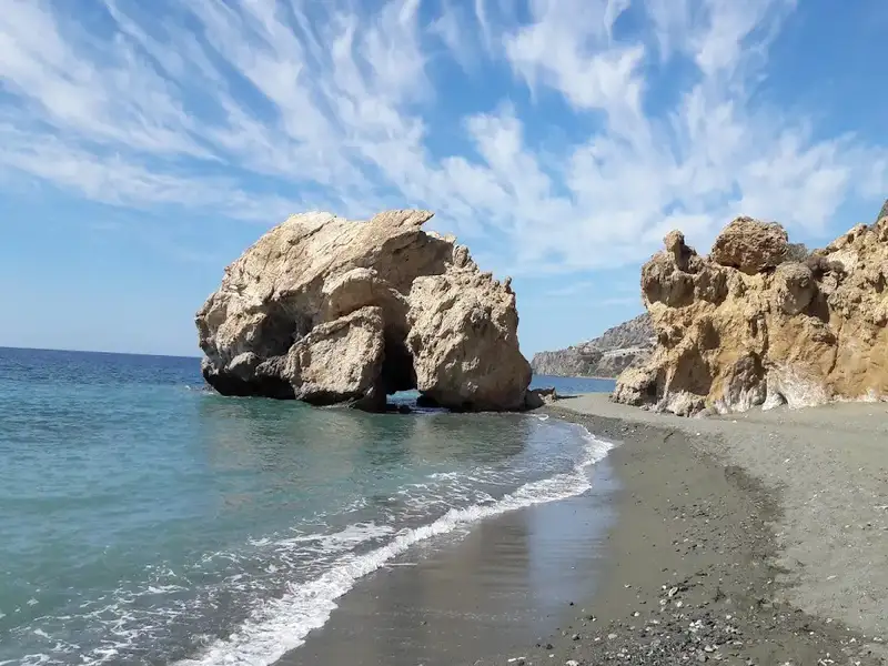
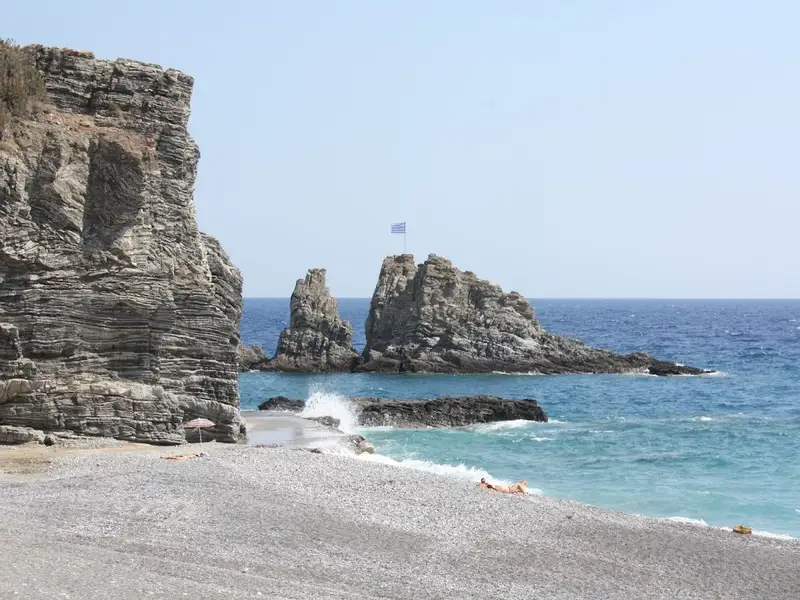
The beach of Armenopetra is nestled between the Skoutaris river to the east and the small village of Monobouka to the west, located 5km east of Keratokambos. This stunning beach is one of the most picturesque in the Keratokambos area. The name Armenopetra, translating to ‘Sailing Rock’ in Greek, is inspired by the large, distinct rock that sits in the middle of the beach. It boasts a mixture of petite pebbles and sand, and its waters are a captivating shade of blue. The area is relatively untouched, with only a few greenhouses cultivating bananas and vegetables. This allows for tranquil, secluded spots on the beach, potentially for those who prefer to sunbathe in the nude.
Just west of Armenopetra, you’ll discover the low sandhills known as Pahia Ammos or ‘thick sand’. Regrettably, these sandhills have experienced significant reduction due to prolonged exposure to irrigation pipes. This has resulted in hardened mud formations. These sand dunes are a unique and scarce ecosystem in Crete, inhabited by rare flora and fauna. If you’re fortunate, you might spot the rare white sand lilies, a sign that summer is drawing to a close.
As you transition from Keratokambos towards the Arvi area, the final stretch of beach you’ll encounter is Cape Peristerionas, situated below the Vahoudianos Xerokambos greenhouses. This beach is entirely uncommercialised and is almost always deserted. However, there’s no natural shade available, so bringing an umbrella is advisable. The beach consists of fine sand and a few small rocks on the eastern side.
No results available
© All rights reserved. Crete Locals