Best Beaches near Pacheía Ámmos in Lassithi region, Crete Island

Best beaches near Pacheía Ámmos

Find below the list of beaches near Pacheía Ámmos:
  • 120 m
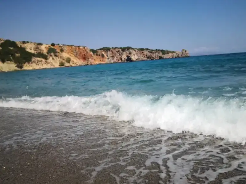
Pahia Ammos beach is located 0.1 km away.

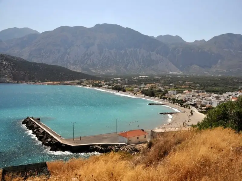
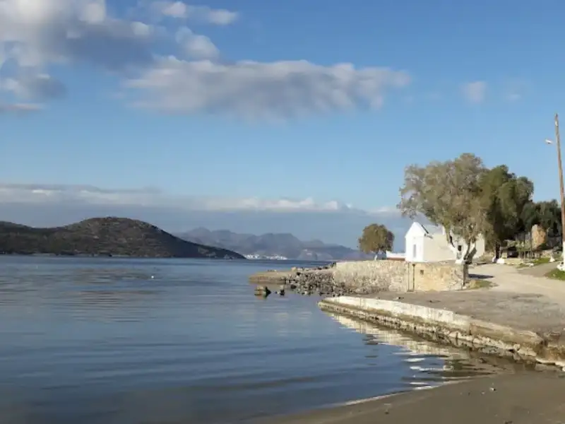
Pachia Ammos is a large village situated on the north side of the narrowest part of Crete, 20km east of Agios Nikolaos, on the road connecting Agios Nikolaos with Sitia and Ierapetra. The village is located at the exit of a fertile plain that is covered with olive groves. It has experienced mild development due to its local beach and the sights of the surrounding area. Visitors can find small hotels, rooms, and taverns in the village.

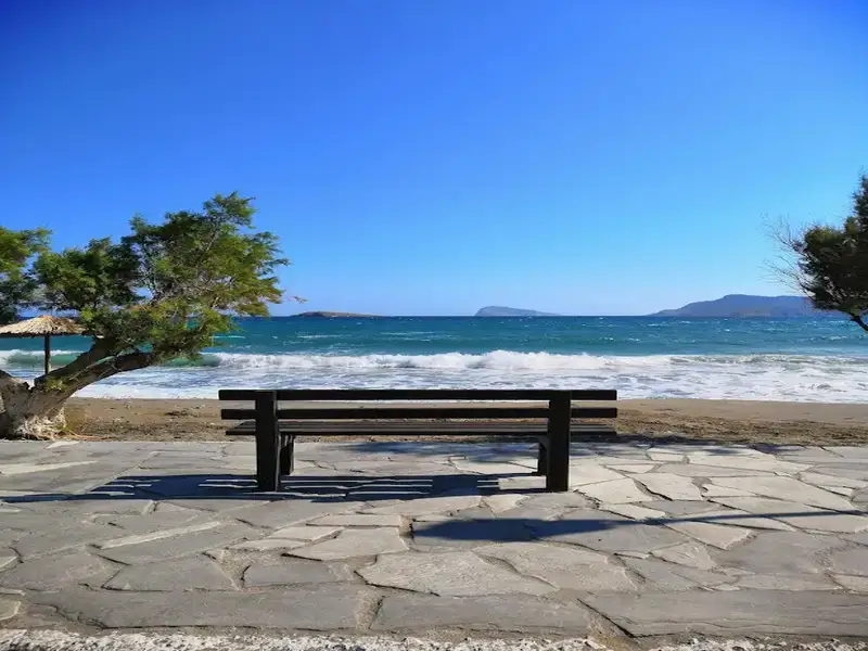
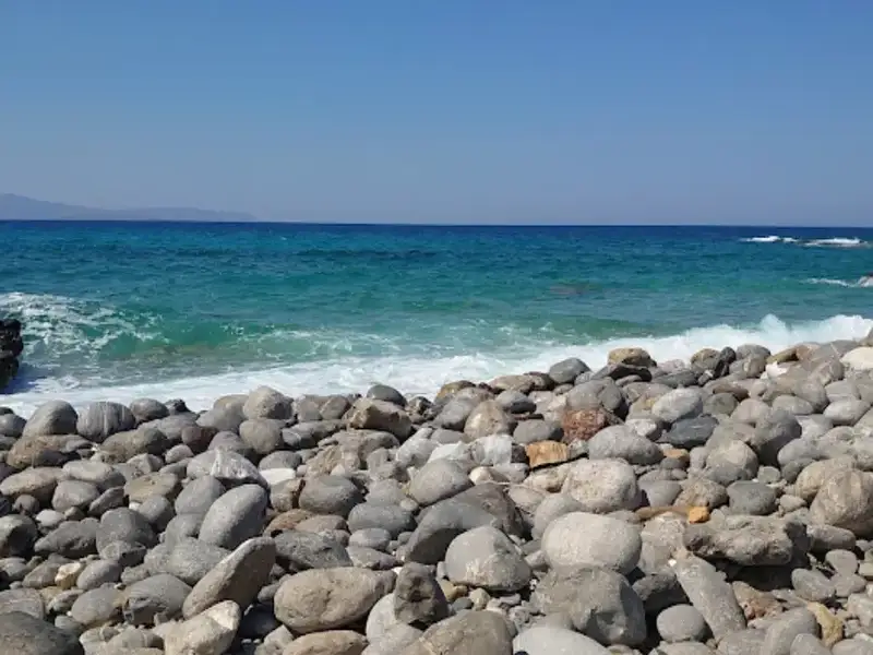
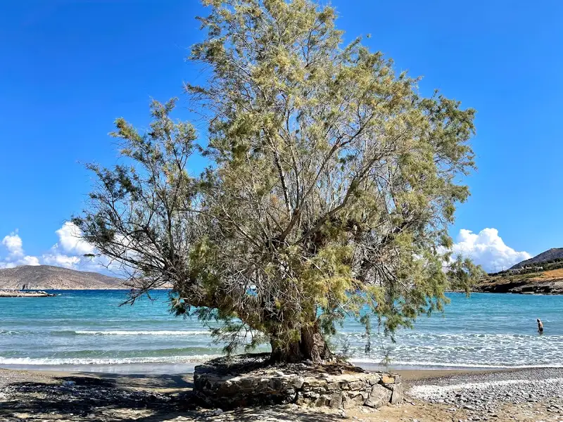
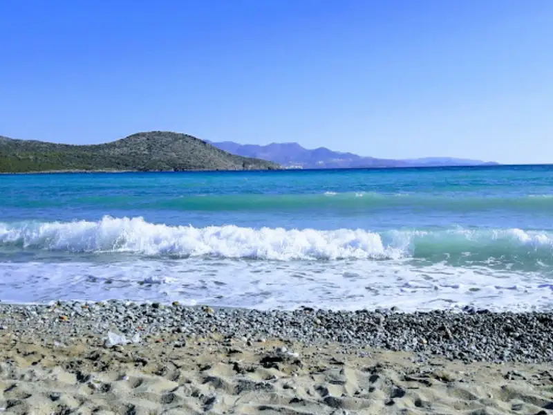
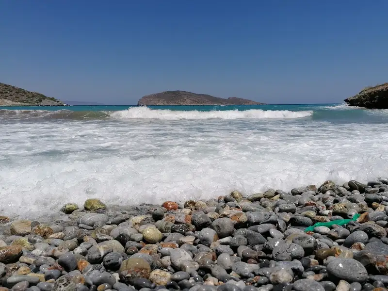
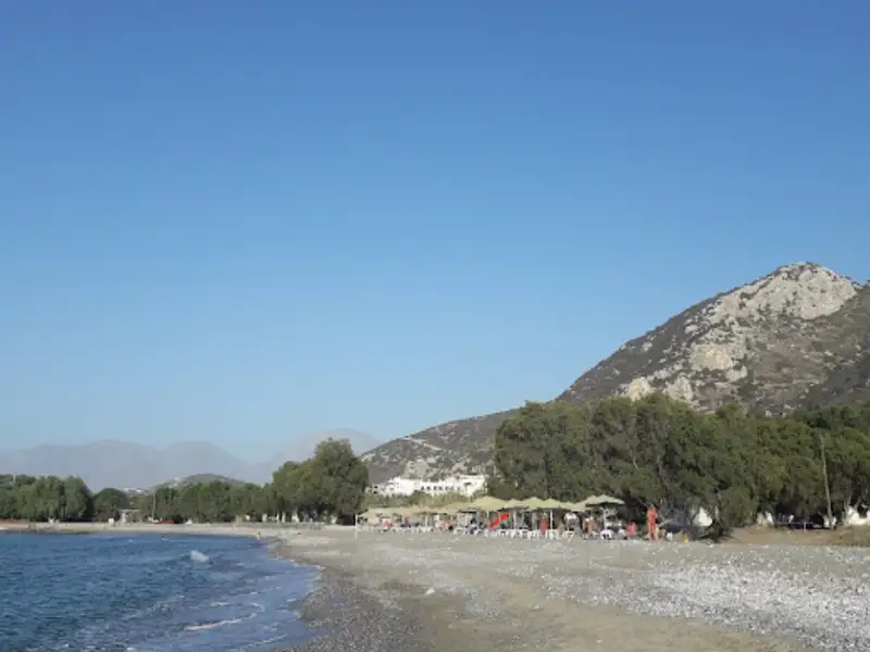
A long beach with sand and pebbles stretches in front of Pahia Ammos, 500m to the east. The beach is open to the north winds, and the sea is usually wavy. However, visitors can stay safe in the well-protected west part of the beach, which is sandy and clean and has umbrellas and sunbeds. For those seeking peace, the eastern part of the beach is an option, but it is unprotected from the waves, and currents carrying garbage due to the village’s location in the southern part of the Gulf of Mirabello. The beach in this area is pebbly and has several tamarisk trees. At the east end of the beach, a stream flows from the impressive Gorge of Ha in winter.

Pahia Ammos is situated on the site of the ancient city Minoa, which was an old harbour. The Institute for the Study of Prehistoric Aegean of East Crete is established here, which conducts systematic excavations in the area and deals with the promotion and protection of antiquities. The most famous archaeological site in the region is the Minoan cemetery and the settlement of Gournia, which is located 2km west of the village. The city flourished in 1600 BC and was built on a small hill. Gournia is located 2km east of Faneromeni Monastery, one of the most impressive monasteries in Crete built on a steep cliff.

Visitors can also visit the Minoan settlement Vasiliki, which is 4km south of the village and flourished in 2600-2300 BC. Vasiliki is considered the precursor of the major Minoan palaces and towns. From Vasiliki, visitors can drive 2km to the east to reach the village of Monastiraki, with the old watermills and the church of St. Stephen. Nearby is the exit of the imposing gorge of Ha, which causes awe from miles away.

Opposite Pahia Ammos you’ll see the small island Konida (i.e. nit, the egg of louse), which can be reached by boat. It is interesting to see how the place’s name has emerged; a few miles to the east (opposite Tholos) you’ll meet the very important island Psira (i.e. louse), while opposite Mochlos you’ll see the islet of Agios Nikolaos, also called Psilos (flea). All bugs together!

  • Pahia Ammos beach
  • Pebbles, Sand
  • Normal
  • Blue
  • 1.8 km
Kamini beach is located 1.8 km away.

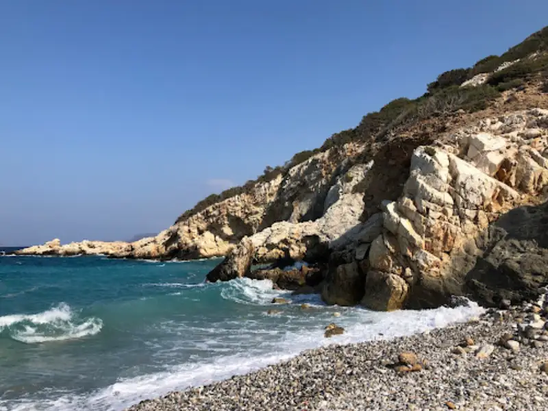
Kamini, situated near the renowned Minoan settlement of Gournia by Pahia Ammos, is an enchanting location composed of five sequential pebble beaches. Positioned north of the archaeological site, Kamini was most likely Gournia’s access point to the sea, explaining the presence of Minoan structures in the area, such as remnants of rooms, walls, and ship sheds or boathouses. The Gournia necropolis is also found in this area.

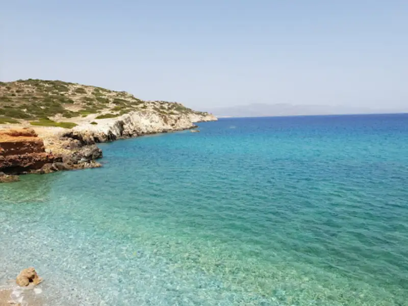
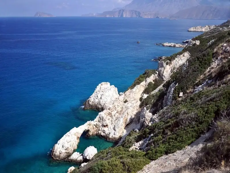
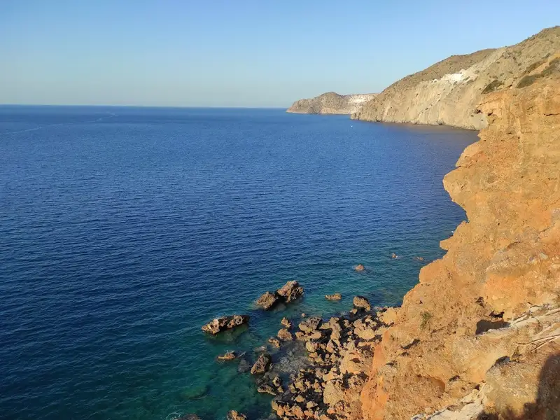
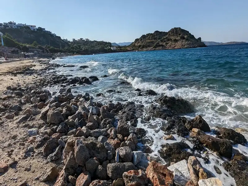
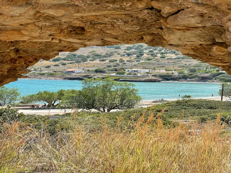
Kamini’s natural allure is as significant as its archaeological value. The coastline, adorned with limestone conglomerates and strikingly red soil, presents a stunning display of colors. The area boasts intriguing geological formations, sea caves, rock bridges, and five beaches speckled with fine or coarse pebbles. However, some of these beaches can be difficult to access.

Regrettably, the north winds often bring a disheartening amount of trash from across the Aegean Sea, littering the otherwise pristine landscape. This, coupled with the strong winds, tends to deter visitors. However, when the winds shift to the south, Kamini’s true splendor emerges, with turquoise and crystal-clear waters that truly are a sight to behold.

  • Kamini beach
  • Pebbles
  • Normal
  • Blue
  • 3.2 km
Agriomandra beach is located 3.2 km away.

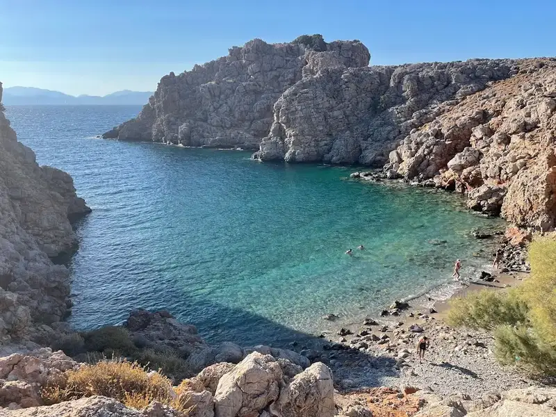
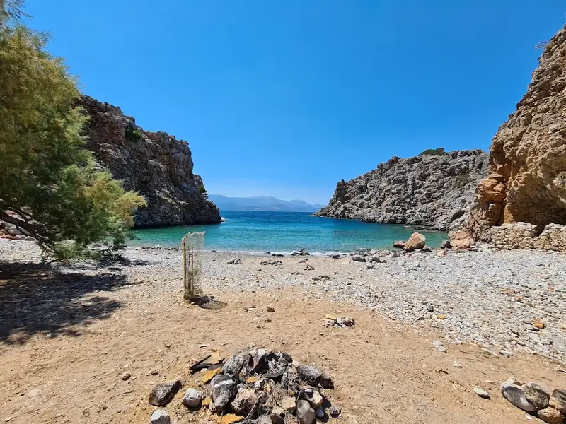
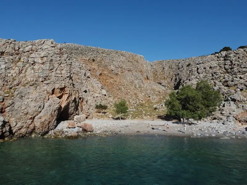
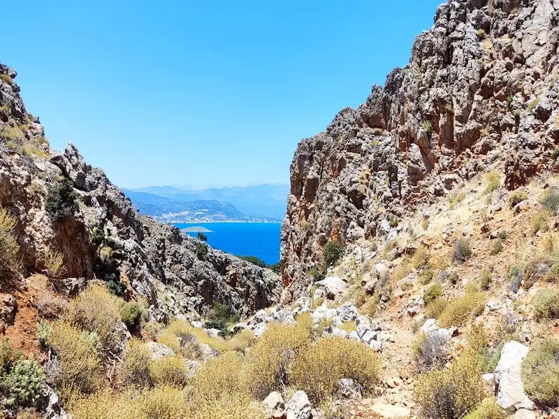
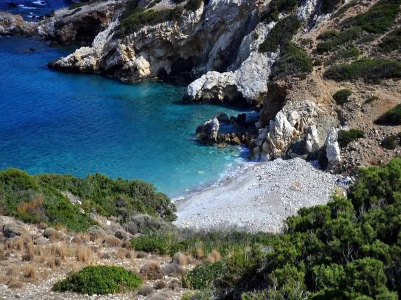
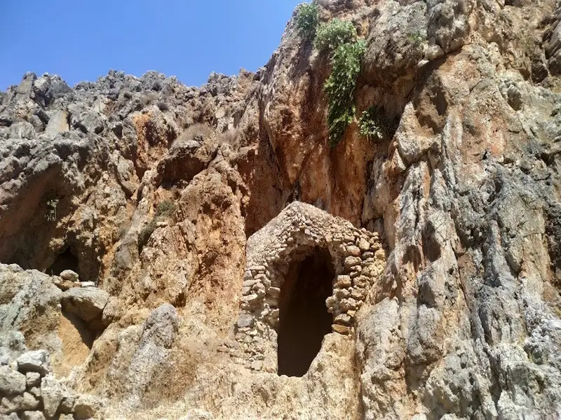
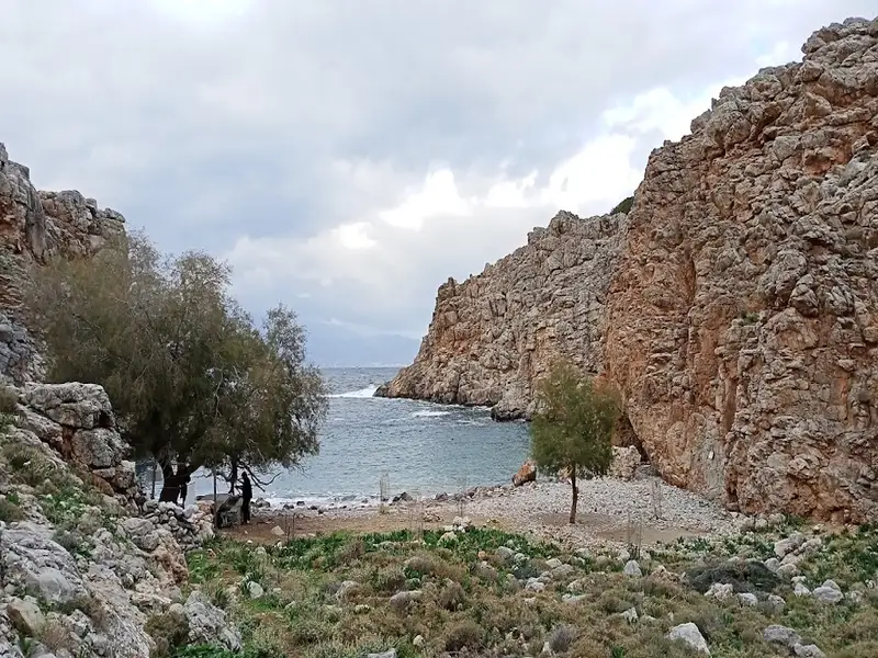
Agriomandra, a hidden gem of a beach, can be found 24km east of Agios Nikolaos, or alternatively, 3km west of Kavousi village and Tholos beach. This beach, hidden at the exit of the Agriomandra gorge, is only accessible by foot through the canyon. To reach the entrance to the gorge, follow a dirt road that cuts through the verdant meadows west of Kavoussi, known as Lakos Ambelion. A short, manageable trail from this point will bring you to the beach, about a 10-minute walk. Along the way, you’ll notice several petite caves nestled into the rocks, one of which is a stone-built church from the Byzantine era, dedicated to St. John the Theologian. As you continue on, you’ll come upon the stunning pebbly beach with its transparent green waters, tucked away between the protective arms of the gorge cliffs.

The seclusion of the beach, primarily due to its challenging access, makes it the perfect spot for privacy, nudism, and snorkelling. Tamarisk trees provide ample shade and the beach itself was first used as a port by the Venetians, with remnants of their buildings still visible today. In fact, until 1920, goods and animals were transported to Agios Nikolaos from this sheltered harbour due to the lack of roads. You’ll also notice the remains of a tax office and a well once used for water.

The name Agriomandra comes from the Greek words Agrios, meaning wild or savage, and mantra, meaning a pen for animals. The term mandra is often used in Crete to describe open spaces where animals were gathered for shipping. The beach’s alternate name, Agiomandra, is likely a nod to the church of St. John located in the gorge.

If you ever visit, consider a walk north along the steep shore to Tholos. After about 400m, you’ll come across the deserted Sykies beach, named for the fig trees that inhabit the area. Next, you’ll encounter the striking landscape of towering cliffs, reaching their peak height of 250m at the impressive Spathi cape, a locale known to the locals as the Sword of Homatas. Here, a rocky beach with crystal clear blue waters awaits, accessible only by boat. The cape is also accessible from Tholos, being in close proximity to both the Theriospilios Cave and the Chryssokamino ancient site.

  • Agriomandra beach
  • Fine Pebbles, Pebbles
  • Deep
  • Deep blue, Green
  • 3.5 km
Gournia beach is located 3.5 km away.

Gournia, situated 17km east of Agios Nikolaos and just 2km west of Pachia Ammos, is renowned for its ancient Minoan town, built atop a small hill. Named after the stone and wooden troughs (‘urna’ in Venetian) found in the vicinity, the original Minoan name of the town remains a mystery.

Nearby, a brief 1km journey north of the archaeological site of Gournia, lies the secluded Frouzis beach. Accessible by car, it sits nestled within a rocky bay, featuring pebbly shores and zero commercial facilities. While the broader area boasts beautiful sea caves and natural rock pools, the beach tends to accumulate litter carried by sea currents. This is also the case for the neighbouring beach, which houses an abandoned camping site.

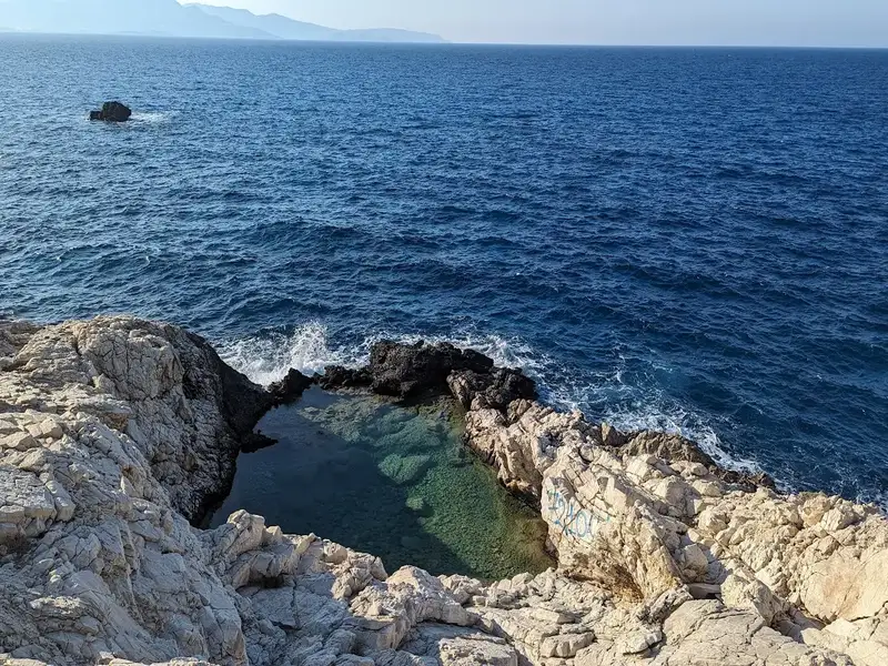
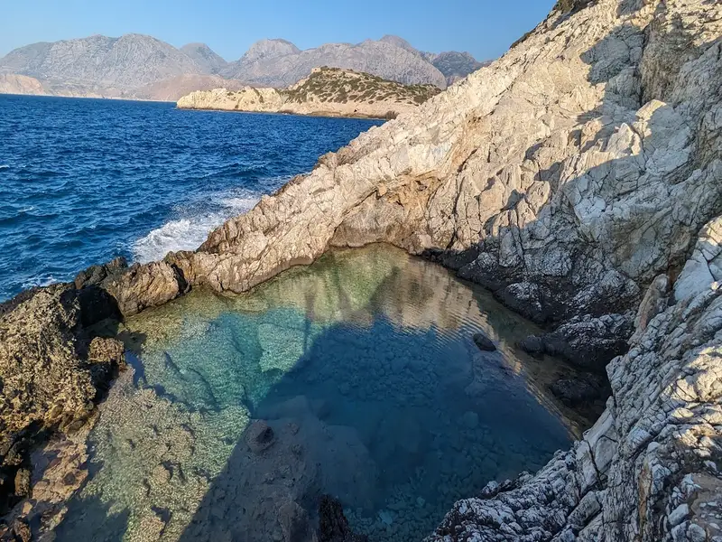
One of Crete’s most breathtaking natural pools is found near Gournia. This serene rock-bound pond offers an inviting swim, especially when the nearby sea is choppy. The vast cave next to it also provides a fascinating sight.

A trip to Gournia would not be complete without exploring the archaeological site to understand the layout of a small Minoan city. Having thrived in 1500BC, the city has been thoroughly excavated, revealing well-preserved walls, staircases, and streets. The city, centered around a hill housing a small palace, a market, and a temple, appears to have been destroyed by an earthquake around 1450BC, and it was completely abandoned by 1200BC. The Gournia cemetery was discovered in the Sfougaras region, near Kamini.

  • Gournia beach
  • Pebbles
  • Deep
  • Deep blue
  • 5.3 km
Pilos beach is located 5.3 km away.

Just 1km east of Istron village lies a hidden gem nestled in a precipitous bay – Pilos beach. Though widely recognized as Istron Bay, in honour of the eponymous hotel perched on the bay’s rugged slopes, the beach is accessible to all through a pathway originating from the west of the hotel. No beaches in Greece are private. Pilos beach is characterized by its sandy stretch and serene blue waters, and offers facilities like umbrellas and a canteen (managed by the hotel) as well as a petite pier for boats.

To the east of Istron Bay, a tiny cove reveals three secluded beaches, reachable via a short walking path. These are known as the Vryonisi beaches, named after the small islet of Vryonisi (or Prasonisi) that appears just opposite the small bay.

  • Pilos beach
  • Sand
  • Normal
  • Blue
  • 6.3 km
Voulisma beach is located 6.3 km away.

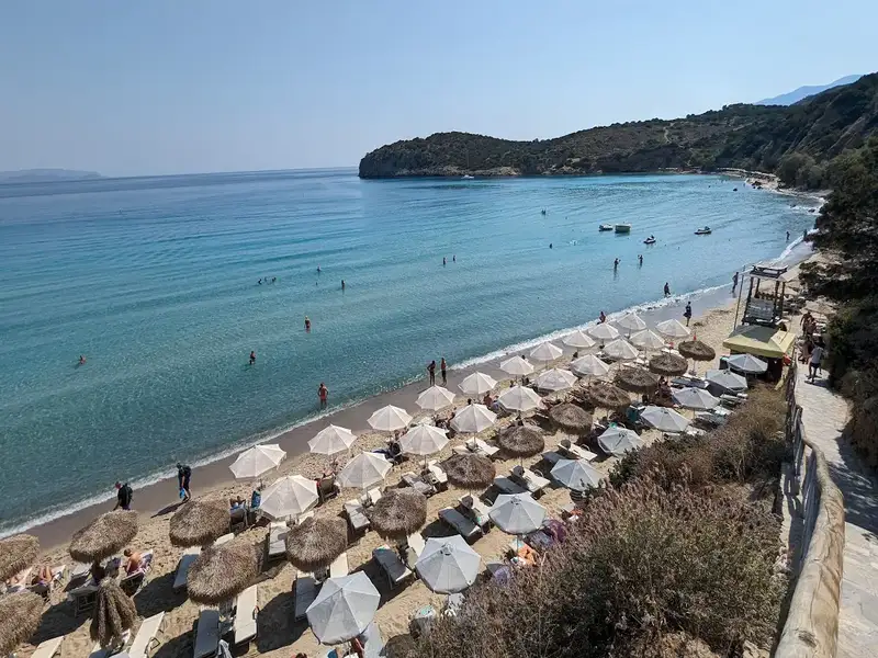
Voulisma Beach dominates Crete’s coastline as a top destination, positioned in a sheltered cove between Agios Nikolaos and Ierapetra. Voulisma Beach provides direct access from Heraklion and includes shallow turquoise waters, smooth sand mixed with pebbles, and structured amenities. Voulisma Beach holds the Blue Flag award, confirming its environmental standards. Voulisma Beach experiences peak-time crowding but sustains appeal through its physical qualities.

Voulisma Beach provides access to the Gournia archaeological site, located 10 kilometres (6 miles) east near Pachia Ammos.  Gournia is one of the best-excavated Minoan towns, which was destroyed by an earthquake and subsequently abandoned.

Voulisma Beach offers proximity to Panagia Faneromeni Monastery, positioned 11 kilometres (7 miles) southeast on a steep slope. Panagia Faneromeni Monastery is worth visiting for its stunning church built into a cave and the awe-inspiring sea views. Every year on the 15th of August, Panagia Faneromeni Monastery becomes a pilgrimage site, drawing visitors from across Crete.

The Best Restaurants near Voulisma Beach

Below is the list of the best restaurants near Voulisma Beach

  • Taverna Kavos: Taverna Kavos is a great spot above the beach! Family-friendly, the playground will keep the children busy until the food arrives. Taverna Kavos has traditional Cretan cuisine, the owners are very welcoming and the service is great. We recommend the Greek lamb kleftiko: roast of lamb, wrapped in parchment paper.
  • Meraki: Meraki is a perfect place to end the day after a nice swim on the beach. Meraki is located opposite the Voulisma beach. Delicious meals made from local products, cooked and served by the owners themselves with lots of love. Overall Meraki has great quality food with great service and a surprise dessert at the end!
  • Mamaloukia & Lotzeta: MamaLukia is a family-run tavern run by Istro locals. Every day, Eleni and her family provide their cuisine as well as exclusive Cretan meals made with love and creativity. Every Saturday and Sunday, they serve Antikristo, which is a famous traditional lamb dish. In recent years, the décor has been completely revamped to provide you with a welcoming environment.

Video of Voulisma Beach in Crete: Aerial View

  • Voulisma beach
  • White Sand
  • Shallow
  • Turquoise
  • 6.8 km
Tholos beach is located 6.8 km away.

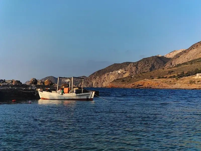
Tholos, situated 26km to the east of Agios Nikolaos and 4km north of Kavoussi village, can also be referred to as Kavoussi beach. Nestled at the end of a fertile valley and framed by ancient olive groves and vineyards, the region has only seen minor touristic development, making it an ideal spot for a tranquil holiday. Tholos beach, with its combination of pebbly and sandy terrain on the west side and a small harbour, is surrounded by tamarisk trees that offer much-needed shade. Nearby, there are accommodations and taverns. The water at the beach, usually hazy and light blue, is the result of underwater springs from the Thripti mountain massif mixing with salt water.

Legameni Cape beaches
A stone’s throw away to the north of Tholos’ small harbour, two pebbly beaches have formed where two dry streams meet. These beaches, known as Legameni, owe their name to the local cape. It’s fascinating to observe aquatic plants growing out from the rocky sea bed, indicating the presence of fresh water underground. Both beaches provide stunning views of Malavra’s wild cliffs to the east of Tholos beach.

Malavra beach
If you travel 2km east from Tholos, you’ll discover the isolated beach of Malavra, encircled by towering cliffs. Accessible only by boat and typically impacted by northern winds, this beach until recently could be reached by foot from the nearby freshwater spring station at Malavra, via a dirt track from Tholos beach. However, a gate has now been installed to restrict access.

Surroundings and Sightseeing
Kavoussi, one of Crete’s lesser-known but intriguing regions, boasts a wealth of archaeological sites, natural wonders, and traditional villages. Directly opposite Tholos sits Psira Island, a significant Minoan harbour. You can visit Psira by boat from nearby Mochlos and explore its extensive Minoan settlement. The island’s most significant artefact, a carved mural, now resides in the Archaeological Museum of Heraklion.

To the west of Tholos, you’ll find the old frescoed chapel of St. Anthony. A stroll to Kavoussi will lead you to the village square, where you can explore the Venetian church of St. George, a beautiful example of Byzantine architecture, and the Temple of the Twelve Apostles at Ligaras.

The archaeological site of Azorias, just 2km east of Kavoussi, is home to one of the most awe-inspiring natural monuments on Crete – an olive tree over 3500 years old and the oldest surviving in the world. This tree, a protected monument, was used to crown the first winner of the Women’s Marathon at the 2004 Athens Olympic Games. A short 2km journey south of the monumental olive tree will take you to the canyons of Mesonas and Havgas, some of the wildest in East Crete.

In addition to these, it’s worth visiting the Minoan settlements at Vrondas and Kastro, the ancient copper workshop from the Minoan period at Chrysokamino, and the nearby cave of Theriospilios, known for its unique decor. East of Theriospilios, you’ll find the Minoan settlement of Chylopites.


  • Tholos beach
  • Pebbles, Sand
  • Normal
  • Blue
  • 7.1 km
Agios Panteleimon beach is located 7.1 km away.

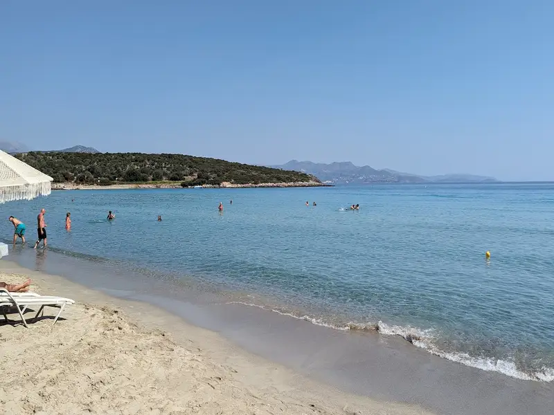
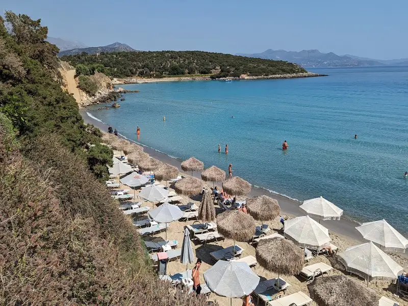
Agios Panteleimon beach, nestled in Istro, a village 12km east of Agios Nikolaos en route to Sitia, owes its name to a petite church located nearby. Featuring both sandy and pebbly stretches, the beach is set against the backdrop of vibrant turquoise waters. As it doesn’t draw the same crowds as the neighboring Voulisma beach, Agios Panteleimon is the perfect spot for those seeking relaxation and serenity.

In the vicinity, you’ll also find Karavostasi beach. This sandy, unspoiled beach is tucked away in the western part of Istro’s largest gulf and provides the perfect setting for peaceful moments. The surrounding area is rich in tamarisk, carob, and olive trees, adding to the beach’s charm. Just east of Karavostasi, there’s a large rock bearing the remnants of the Minoan settlement Priniatikos Pirgos.

  • Agios Panteleimon beach
  • Sand
  • Shallow
  • Blue
  • 9.2 km
Vathi beach is located 9.2 km away.

Situated just 10km south of Agios Nikolaos before reaching Istron’s beaches, you’ll discover the lesser-known beach of Vathi. This hidden gem wasn’t on the map before 2010, as it’s a man-made creation and is not visible from the main road connecting Agios Nikolaos with Eastern Crete.

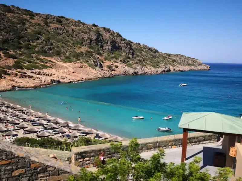
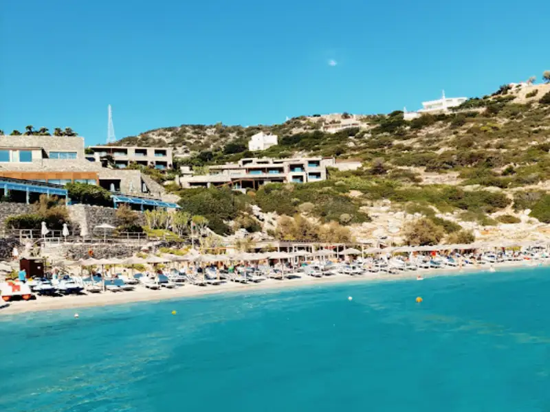
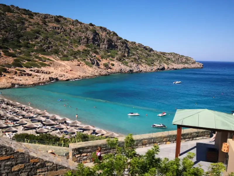
Nestled within a well-protected cove, Vathi remains largely unaffected by wind, except for the infrequent easterly gusts. The beach is characterized by its pristine white sand that enhances the mesmerizing hue of the sea. Managed by the nearby luxury resort, Daios Cove, the beach is well-equipped with amenities.
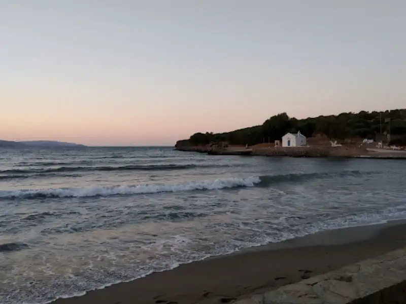
For non-hotel guests, accessing Vathi involves a descent down a concrete pathway and staircase. To find the entrance, take a left just before the hotel gates and follow the road until it leads to a narrow path heading towards the stairs. Vathi is an excellent choice for families thanks to its calm, waveless waters. For those keen on exploring, snorkelling along the rocky edges of the bay offers another dimension of this unique beach.
  • Vathi beach
  • Fine Pebbles, Sand
  • Normal
  • Blue, Deep blue
  • 10.2 km
Listi Spilios beach is located 10.2 km away.

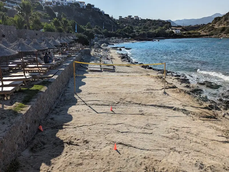
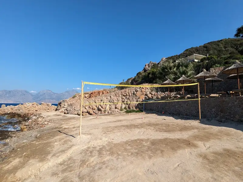
The picturesque Listi Spilios, situated 7km south of Agios Nikolaos along the old road to Sitia and Ierapetra, has become a bustling tourist spot over the years with a variety of accommodations, ranging from large hotels to smaller lodges. The beach is characterized by its rocky terrain and sandy patches, with a charming smaller beach nestled to the north of the main area. Unfortunately, recent extensive alterations by a major hotel in the vicinity have significantly changed the original rocky nature of the coastline, including the construction of a pier to retain sand. Visitors can enjoy amenities like umbrellas, a snack bar, water sports and a beach volleyball court. The quieter western side of the beach, boasting lush vegetation due to nearby freshwater springs, provides a serene escape.

The beach’s intriguing name, Listi Spilios, translates to ‘Robber’s Cave’ in Greek. This stems from a tale from the Middle Ages when the primary road used by locals to commute to island cities ran through this area. On the beach’s west end, there’s a petite peninsula home to several small caves, which, as the legend tells, were used as hideouts by robbers who targeted travellers on the road.

  • Listi Spilios beach
  • Fine Pebbles, Pebbles, Rocks in places
  • Normal
  • Blue

© All rights reserved. Crete Locals