Best Beaches near Dharivianá in Rethymno region, Crete Island

Best beaches near Dharivianá

Find below the list of beaches near Dharivianá:
  • 8.4 km
Drymiskos beaches is located 8.4 km away.

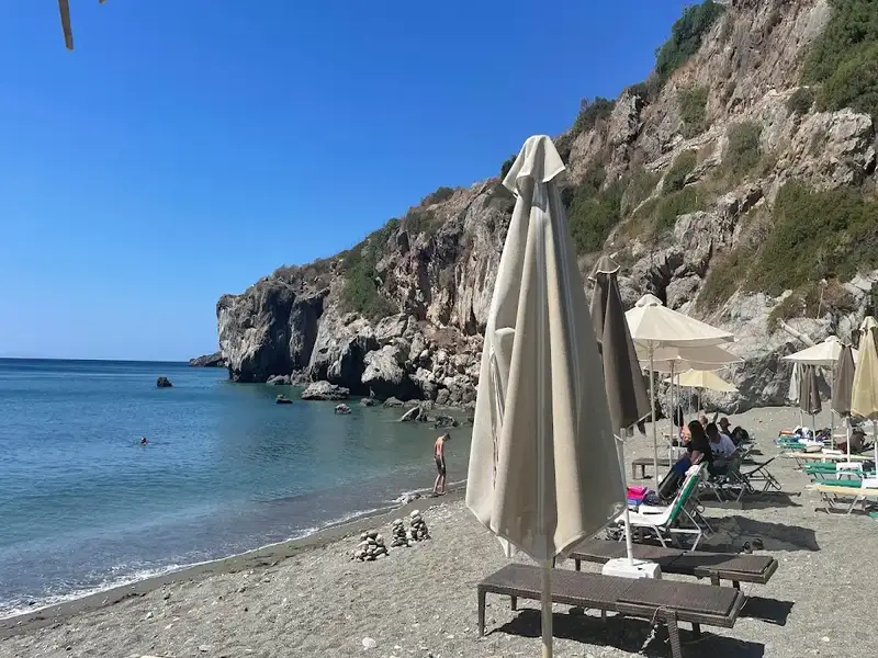
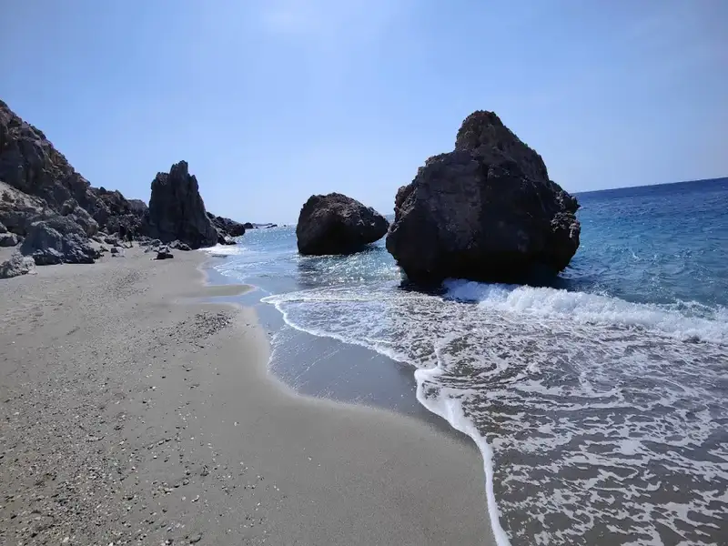
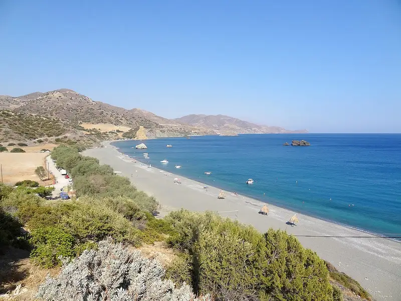
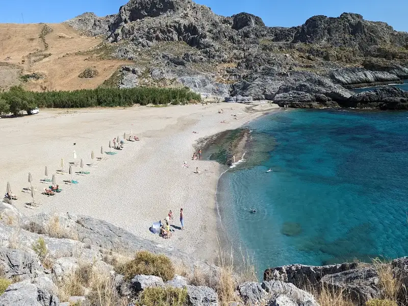
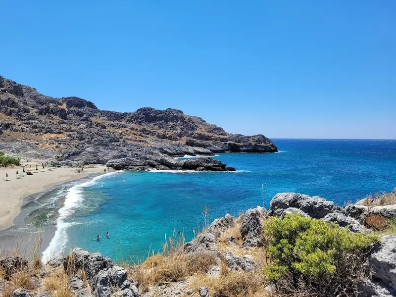
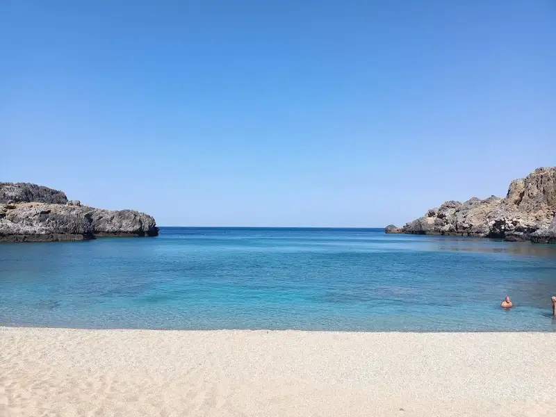
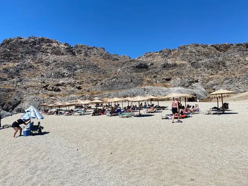
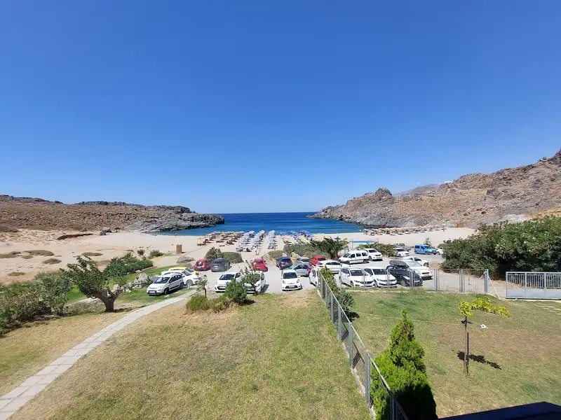
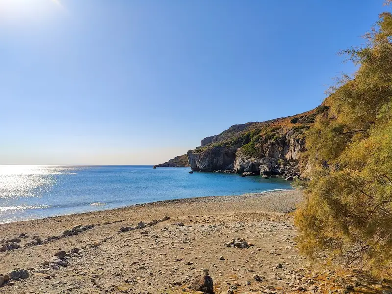
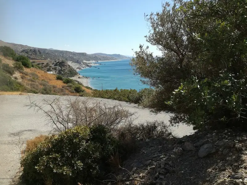
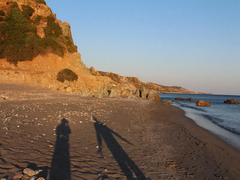
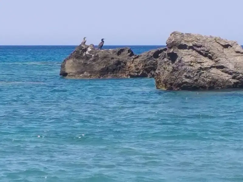
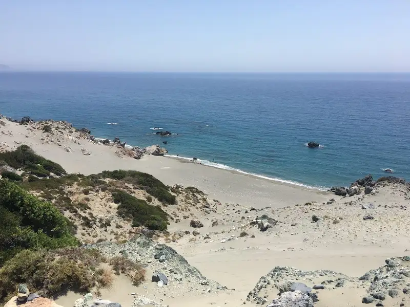
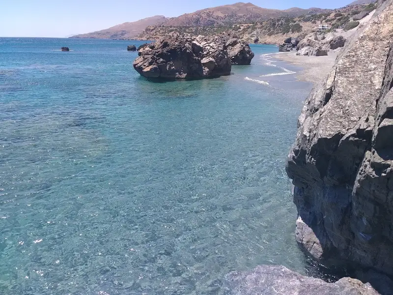
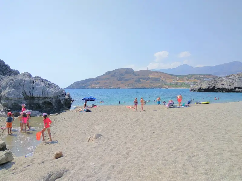
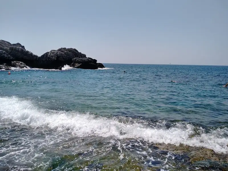
Beyond the charming village of Drymiskos, a sequence of coves unfurls into a series of beaches spanning 3 km, collectively known as Drymiskiani Gialia (Drymiskos Beach). Rocks and reefs segment these beaches, providing an exciting snorkelling experience. The area remains largely undiscovered due to its more challenging accessibility compared to other locations in the South Rethymnon prefecture. The most well-known section of Drymiskian Beach is Amoudi, the westernmost beach where the paved road from Preveli beach ends. Ammoudi serves as the starting point for a brief trail to Preveli beach, where most visitors park their cars.

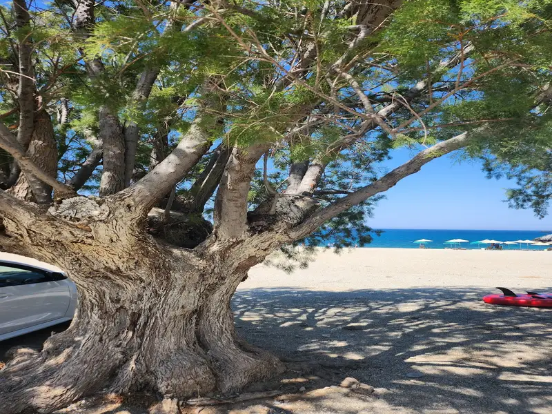
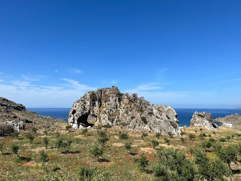
Venturing eastwards from Amoudi along the paved road, one can discover numerous serene sandy beaches, perfect for solitude and naturism. At the heart of Drymiskian Beach, Kefala’s beaches are marked by a distinctive black, tooth-like rock jutting from the sand. The best beaches in the area can be found on either side of this rock. Continuing further, one reaches the less crowded Anatolika beaches, also known as East, renowned for their deep, clear waters. From Anatolika, the journey can be extended to the Kerames beaches, the first of which is Gialopotama. While most beaches lack trees, large rocks provide ample shade throughout the day.

  • Drymiskos beaches
  • Rocks in places, Sand
  • Deep
  • Blue
  • 8.4 km
Agia Fotini, Kerames is located 8.4 km away.

The quaint village of Kerames is situated 49km to the south of Rethymno, in close proximity to the village Agalianos. South of Kerames, there are numerous stunning beaches, with Ligres, Triopetra and Agios Pavlos sandhills of Akoumiani Gialia being the most well-known. To the north of Akoumiani Gialia, there is Keramiani Gialia or Kerames Beach, named after the nearby village.

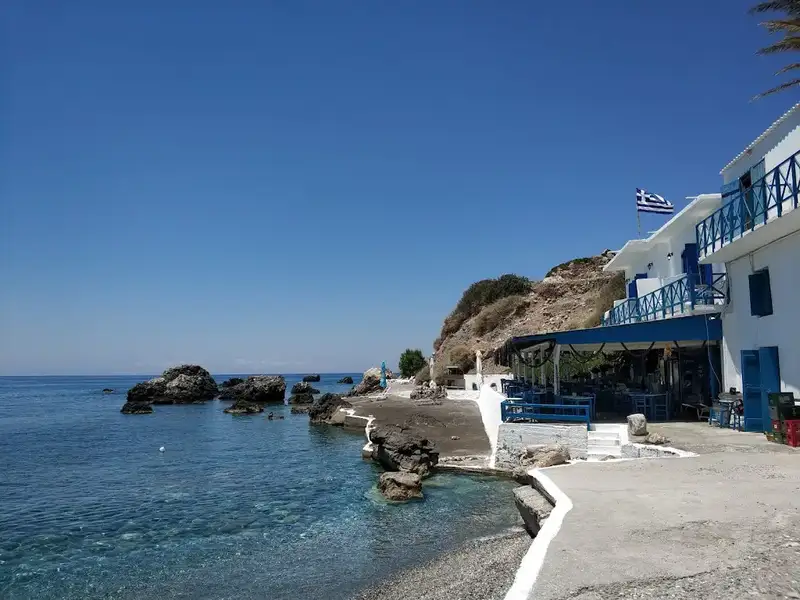
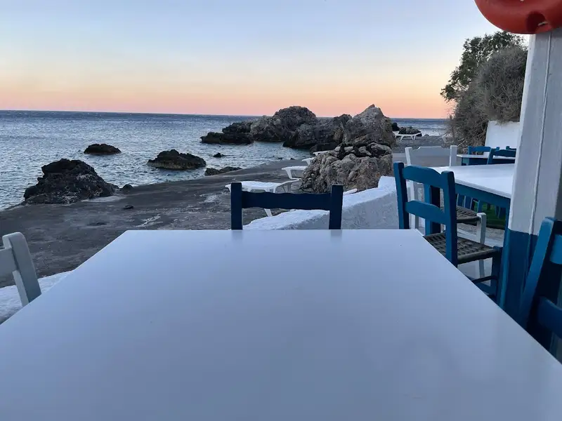
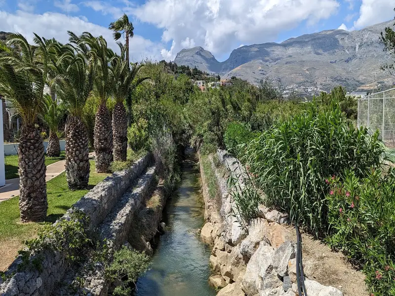
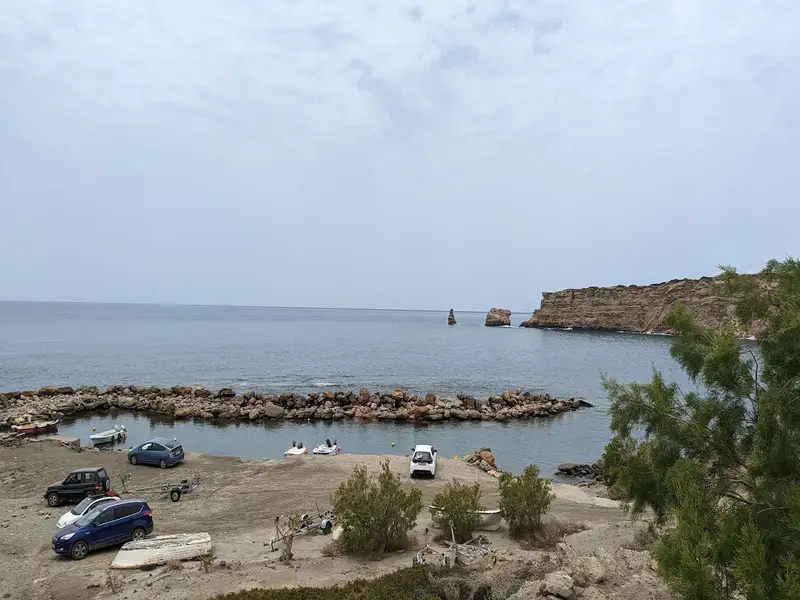
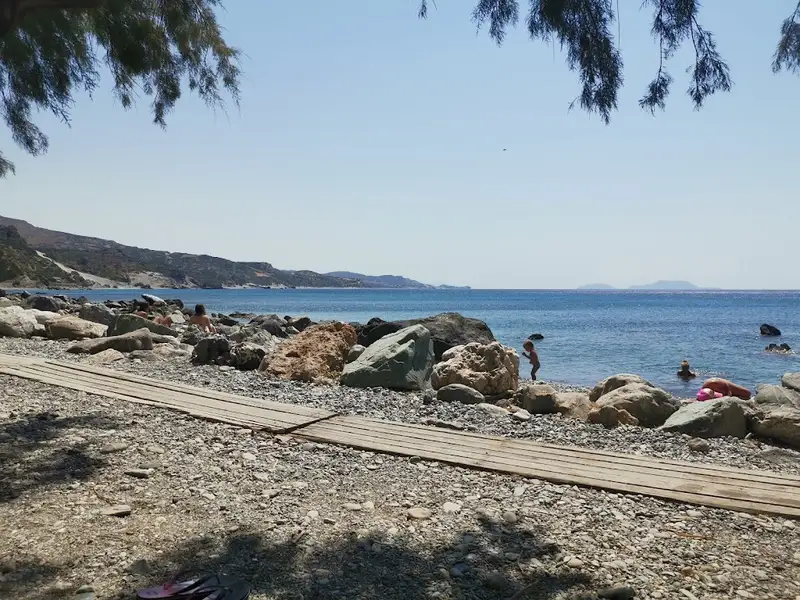
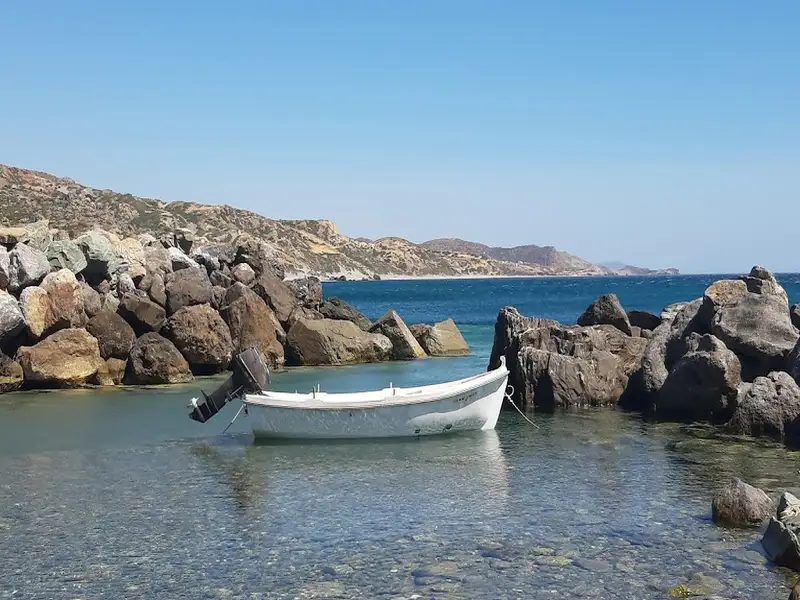
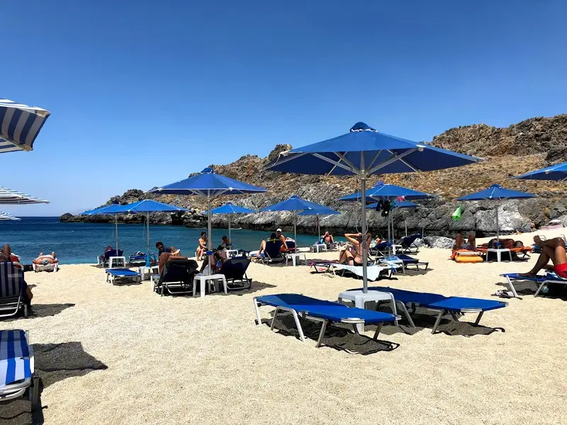
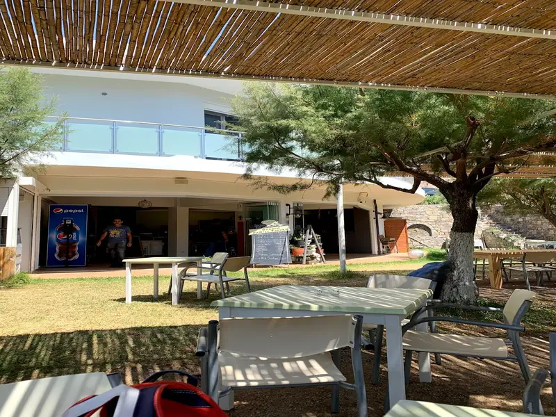
The narrow, poorly paved road leading to Keramiani Giulia ends near the local port of Agia Fotini, which is also known as Agia Fotia. This location is home to beautiful small pebble beaches, perfect for snorkelling and swimming, and is surrounded by large boulders. The traditional Stavros tavern is built on an old carob storehouse and serves fresh fish on the beach. It also offers accommodation, and has a reminiscent atmosphere of the Greek islands of the 1960s. The tavern provides free umbrellas and showers. Near Agia Fotia, there is a small river that forms a green forest. Following the path north along the river, you will encounter a tall palm tree and the old church of Agia Fotini, located near a small house with a lovely garden. A 5-minute walk west of the tavern along the rocky shore will lead you to another pebbly beach.

On the hill near Agia Fotini tavern, you can still see the remnants of the ancient town Kionia, which thrived in its heyday. Today, the ruins cover an area of over 150 meters east to west and 100 meters north to south, while the other half of the town is submerged underwater, in front of the tavern. Traces of buildings and terraces that suggest the existence of Kionia can be seen in the surrounding area. It is thought that the sinking of the town forced its inhabitants to leave and move to higher ground, where the villages Kerames and Agallianos now stand.

  • Agia Fotini, Kerames
  • Fine Pebbles, Rocks in places
  • Normal
  • Blue
  • 8.4 km
Pahia Ammos, Kerames is located 8.4 km away.

Kerames, a village situated 49km south of Rethymno, neighbors the village of Agalianos. It is surrounded by stunning beaches to its south, including the well-known beaches of Akoumiani Gialia, such as Ligres, Triopetra, and Agios Pavlos sandhills. Keramiani Giulia, or Keramean Beach, lies to the north of Akoumiani Gialia, its name derived from the nearby village.

A somewhat dilapidated asphalt road leads to Keramiani Gialia, ending near the local harbour of Agia Fotini, also referred to as Agia Fotia. To the southeast of Agia Fotini, the primary beaches of Keramiani Gialia are located. A well-maintained dirt track from Agia Fotini leads to these beaches, the first being Podare. With its coarse sand and rocky areas, Podare is perfect for activities like fishing and snorkelling. Despite being an unorganized beach, it offers rental rooms for visitors.

After leaving Podare, a simple dirt road heads eastward, taking you past a large hill to a parking area situated near more rental rooms. Here, the road ends, and the beach on your right, Glima, begins. This sandy, secluded, and unorganized beach offers total privacy.

Continuing eastward on foot for about 100m, a towering sandhill becomes visible to your left. Pahia Ammos, or Coarse Sand, lies in front of the sandhill and provides an ideal spot for those seeking complete seclusion.

  • Pahia Ammos, Kerames
  • Rocks in places, Sand
  • Normal
  • Blue
  • 8.6 km
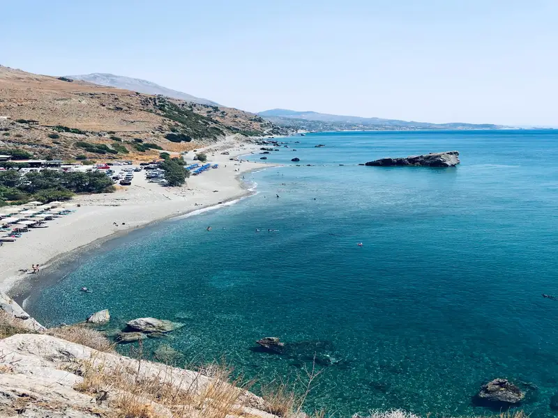
Preveli beach is located 8.6 km away.

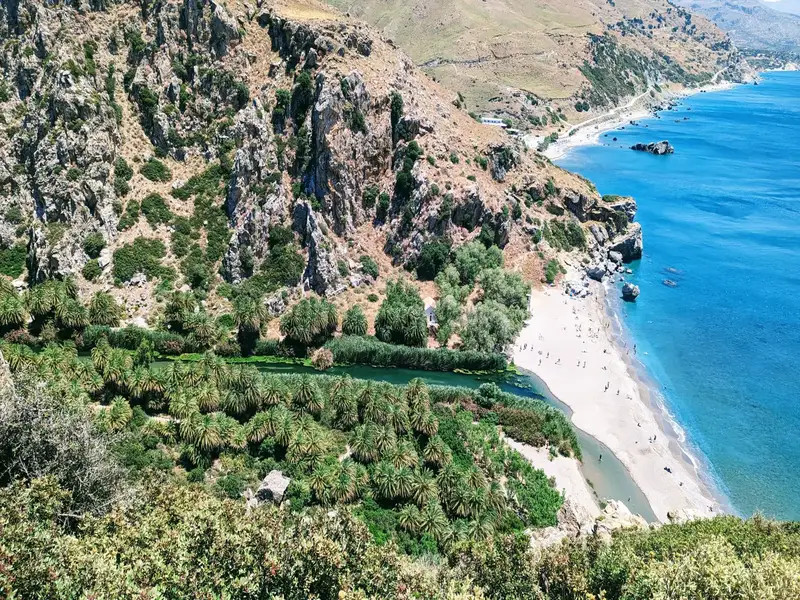
Nestled approximately 35km to the south of Rethymno and 10km east of Plakias, you’ll find Preveli Beach, also known as Lake Preveli or Phoenix. This gem lies where the majestic Kourtaliotikos Gorge meets the flow of the Grand River (Megalos Potamos). Recognized as the most celebrated beach in southern Crete, it has been a summer haven for countless visitors and was a preferred spot for hippies in the ’60s and ’70s.

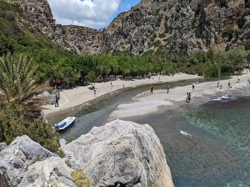
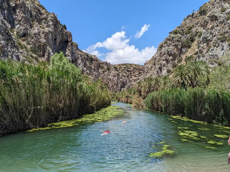
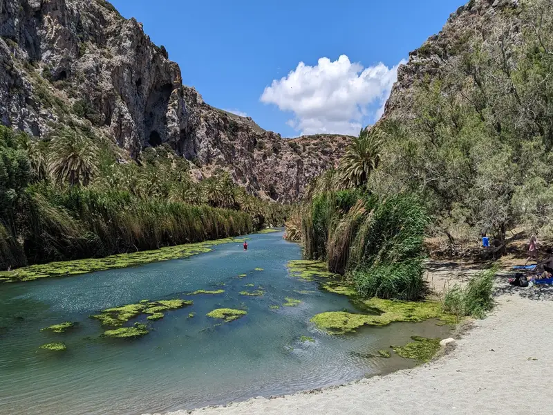
In this oasis, a lush colony of Theophrastus palm trees flourishes along the banks of the Grand River, evoking a tropical paradise. The river culminates in a 500m long lake before joining the sea, providing year-round water. You can saunter under the canopy of the palm and other trees, following the river as it ascends through the stunning canyon, and take refreshing dips in the cool pools within the gorge.

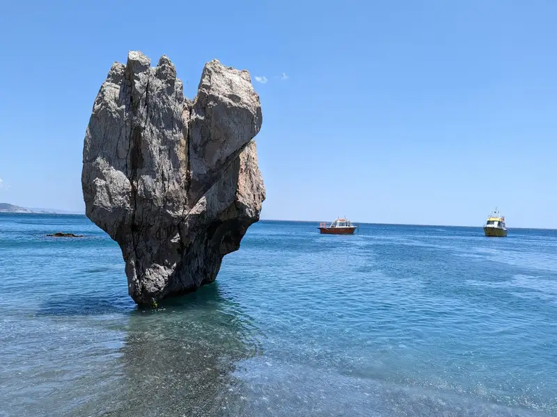
In 2010, a major fire devastated this tropical paradise, but remarkably, the palm grove has mostly rejuvenated. At the river’s exit, a beach of pebbles and sand stretches out, where the seawater remains refreshingly cool due to the river. A striking heart-shaped rock adds charm to the eastern section of the beach. Since the area is protected, the beach remains unspoiled, with no parasols.

Venturing to Preveli Beach:

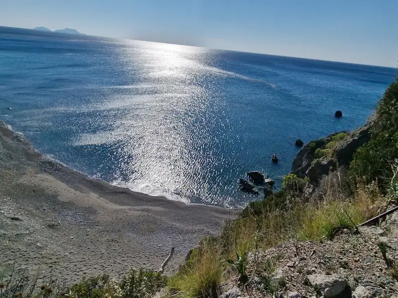
Two main routes lead to Preveli, either from the west or east. One option is driving from Plakias towards the Preveli Monastery, and 1.5km beyond the Kato Monastery of Preveli, you’ll find a spacious car park. Here begins the path descending to the beach. This parking spot offers an extraordinary viewpoint from the towering cliffs to the west, perfect for capturing stunning photos. It’s a 15-20 minute walk to reach the beach, but be prepared for a strenuous climb back up.

An alternative route to avoid the steep ascent involves driving along the paved road to nearby Drimiskiano Amoudi and taking a brief 5-minute walk to Preveli. However, this route doesn’t offer an impressive cliff-top view. You can also opt for a boat ride to Preveli from Agia Galini and Plakias.

The beach owes its name to the nearby historic Preveli Monastery, a male-only monastery established in the 16th or 17th century, dedicated to St. John the Theologian. The old and new monasteries, known as Piso and Kato Monastery respectively, are situated in the vicinity. The former, now deserted, is located just south of the ancient Preveli stone bridge.


  • Preveli beach
  • Sand
  • Normal
  • Blue
  • 9.6 km
Ligres beach is located 9.6 km away.

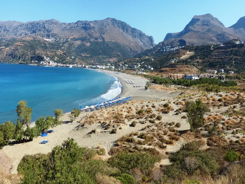
Situated 51km to the south of Rethymno and 7km below the village of Kerames, Ligres is nestled at the base of the grand Siderotas mountain. It forms the northern segment of the Akoumiani Gialia beachfront, which runs from the cape of Mellissa to the south.

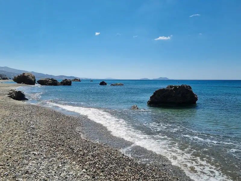
Ligres is an expansive beach graced with rough sand and a spectacular deep sea. Its somewhat challenging access has thankfully deterred the encroachment of tourism, preserving it as one of the most serene, secluded and pristine beaches on the island. Although the beach is not developed, there are a few taverns and rooms available on its western side accessible via a poorly maintained asphalt road. At the beach’s western tip, there is a stunning waterfall that boasts a year-round water supply, cascading right next to the sea.

Beyond the northern end of the beach, also known as Katsouni, lies a secluded beach favored primarily by nudists. Despite its seclusion, there are numerous spots along this vast, uninhabited beach where nude swimming is possible. It’s worth venturing along the beachfront to Triopetra, up to the Xiromilia area, to marvel at the astonishing rock formations. In the heart of Ligres, a remarkable reddish boulder stands out near the sea.

  • Ligres beach
  • Fine Pebbles
  • Normal
  • Blue
  • 10.6 km
Ammoudi beaches, Plakias is located 10.6 km away.

Ammoudi beaches are located 32 kilometers south of Rethymno and 5 kilometers east of Plakias village. Ammoudi beaches are accessible via a paved road from the village of Lefkogia. This road leads you directly to the first beach, Ammoudi, recognizable by its distinctive green slippery rock. Ammoudi beach has a slight organization, with available amenities such as umbrellas, nearby taverns and rooms, and even a scuba diving centre. Ammoudi Beach offers white sand, rocky seabed, and bright green waters, making it ideal for diving and snorkelling. There’s also the option to find shade and camp under the many tamarisk trees located next to the beach.
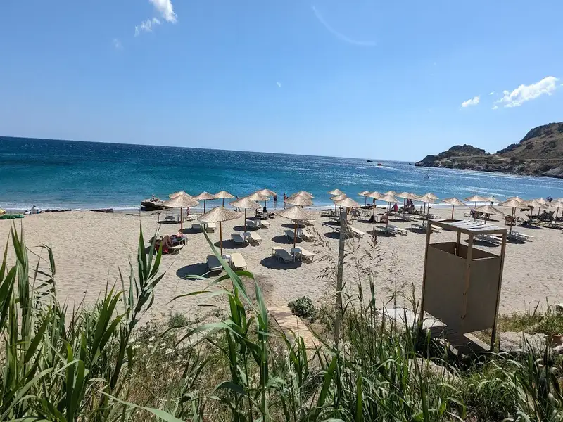
Heading west from Ammoudi, a dirt road begins that will take you towards Damnoni, passing by towering cliffs and impressive rocks. Just 200m west of Ammoudi, along this dirt road, you’ll discover a parking plateau that offers an unrestricted view of Damnoni. Here, you’ll see an enchanting miniature sandy beach, featuring turquoise waters and a unique rock in the sea. Known as Klisidi, this beach is an attractive choice when not crowded, though this is rare during peak season.

Adjacent to Klisidi, you’ll encounter the stunning nudist beach of Small Ammoudi or Ammoudaki. This small beach is popular among nudists for its turquoise waters and exceptional white coarse sand. It also has a small canteen offering umbrellas and sunbeds. On the beach’s west side, you can swim in a marine cave, where the sunlight turns the water a vibrant blue. You can easily walk on the sandy seabed. There’s also an underwater hole connecting Ammoudaki with Klisidi, allowing you to travel between the two beaches with just a dive. If you wish to reach the Ammoudi beaches on foot, simply walk east of Damnoni until you reach Ammoudaki.

  • Ammoudi beaches, Plakias
  • White Sand
  • Normal
  • Turquoise
  • 10.8 km
Skinaria beach is located 10.8 km away.

Located 33km south of Rethymno and 3km south of the village of Lefkogia on Crete Island, you’ll find the small, serene beach of Skinaria (or Shinaria). The beach is situated in the eastern part of the broader Plakias area. Skinaria boasts soft, grey-beige sand and fine pebbles, complemented by the crystal blue depths of the sea. The sea bed is primarily rocky, though the northern part of the beach features sandy terrain.

The area is teeming with life, both terrestrial and marine. Freshwater ponds dot the beach, fed by springs from the Kouroupa mountain. These ponds have fostered lush vegetation around them, giving the area a tropical landscape feel. The local inhabitants claim that the marine life is as vibrant as the terrestrial, and indeed, Skinaria’s seabed is one of the richest on the island. It is home to an abundance of marine creatures, including huge morays, blackfish, and octopuses. Furthermore, the water’s clarity is remarkable, often exceeding 40m horizontally, making it a popular spot for scuba diving centres in Crete.

The beach offers minimal organization, with a local tavern providing a few umbrellas and refreshments. On our last visit, umbrellas and sunbeds were complimentary with a refreshment purchase. Access to the beach is via a narrow, 2km road that begins in Lefkogia. Along the way, an awe-inspiring cylindrical cave can be spotted within a rock on your left.

  • Skinaria beach
  • Fine Pebbles, Rocks in places
  • Normal
  • Turquoise
  • 10.8 km
Damnoni beach is located 10.8 km away.

Situated 35km south of Rethymnon and 5km east of Plakias on Crete island, Damnoni beach is a well-known tourist destination. The resort is fully developed and well-structured, featuring a wide bay with turquoise waters and coarse, whitish sand. Visitors can enjoy numerous facilities including umbrellas, snack bars, showers, changing rooms, and water sports. Additionally, there’s a scuba diving centre, top-notch hotels, restaurants, and a horse-riding centre.

The westernmost part of the beach, which is highly organized, is home to a small river that maintains water nearly all year round. The eastern end of the beach is more serene and connects to the neighbouring Ammoudakii beaches via a short unpaved road. Beyond the western end of the beach, you’ll find several secluded small coves with sand and rocks, located right next to the area’s small harbour.

  • Damnoni beach
  • Sand
  • Shallow
  • Blue
  • 11.6 km
Plakias beach is located 11.6 km away.

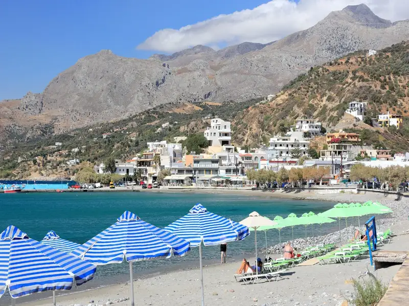
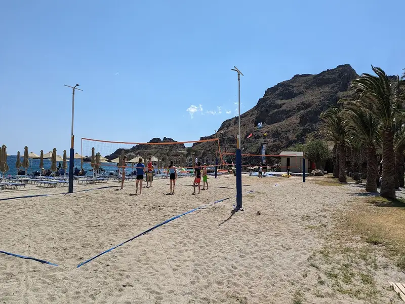
Situated 36km to the south of Rethymno city, Plakias is a charming tourist haven nestled at the mouth of a fertile valley just beyond the Kouroupa range, where the Kotsifos river meets the sea. It owes much of its popularity to the impressive Gialia beach, stretching for 1.3km from the edge of the town to the east, ending at Cape Mouri. This fully-equipped beach, characterized by its crystal-clear, cool waters, is an ideal location for leisurely walks or cycling along the adjacent road. It features numerous hotels and restaurants, as well as beach essentials such as umbrellas, water sports facilities, beach volley courts, snack bars, changing rooms, and showers.

Paligremnos, the eastern portion of the beach, boasts fine sandy shores and is well-appointed with various amenities close to local accommodation and eateries. Noteworthy are the tall, vertical cliffs nearby that prove to be a magnet for climbing enthusiasts. This spot, also known as “Gonates” (knees), is steeped in local lore; it’s said that the epic hero Digenis knelt here to drink from a local spring. An intriguing phenomenon takes place here every full moon from September to January, as the moon’s reflection on the sheer cliffs draws large squids to the beach, which locals catch with long sticks. A few meters south of Paligremnos, you can also discover tunnels once used for transporting coal to waiting cargo ships.

  • Plakias beach
  • Sand
  • Shallow
  • Blue
  • 11.9 km
Triopetra beach is located 11.9 km away.

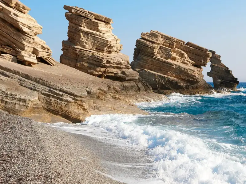
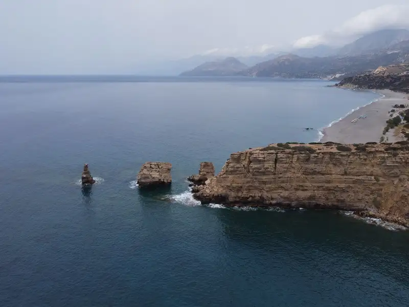
Triopetra beach, nestled at the base of Mount Siderotas and 52km south of Rethymno, can be reached via paved roads leading from either Akoumia or Sachtouria. Part of the extensive Akoumiani Gialia beachfront, Triopetra got its name as a historical winter refuge for the inhabitants of Akoumia, who built small huts near their olive groves. Presently, most land and hotels in the area are owned by descendants of these Akoumia residents.

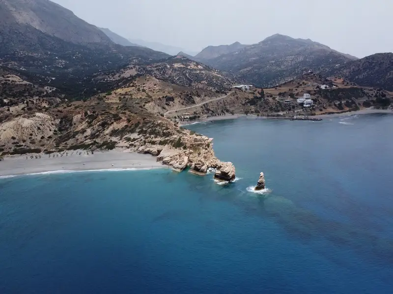
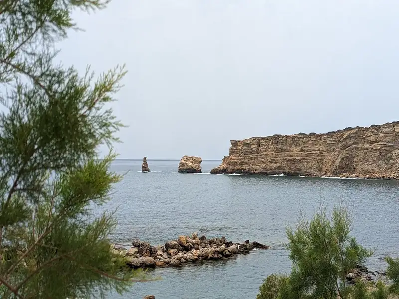
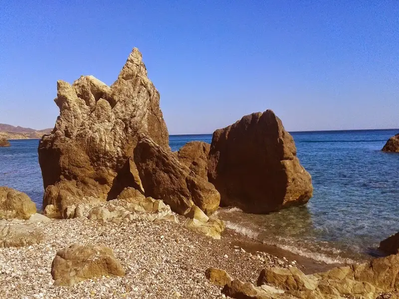
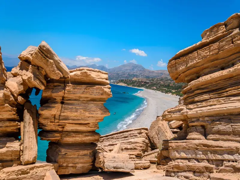
Triopetra boasts two distinct beaches, separated by a petite peninsula. The peninsula’s defining feature is the three spectacular rocks jutting out from the sea, giving Triopetra its name, which translates to “Three Rocks”.

The first beach, Small Triopetra or Koumado, resides in an enclosed bay lined with sand and rock to the south of the three rocks. Here, the Akoumianos river meanders into the sea, forming a natural boundary between Triopetra and the enchanting Agios Pavlos Sandhills at Cape Melissa. Small Triopetra hosts a handful of taverns and rooms, with umbrellas available for sun-seekers. Additionally, the southeast edge of the beach is home to a small harbour, known as Stomio or “mouth”, named after the river’s mouth meeting the sea. Just 1km northeast of the beach, the awe-inspiring chapel of Prophet Elias stands on a high hill, commanding an impressive view over Akoumiani Gialia.

  • Triopetra beach
  • Fine Pebbles, Pebbles, Sand
  • Normal
  • Blue

© All rights reserved. Crete Locals