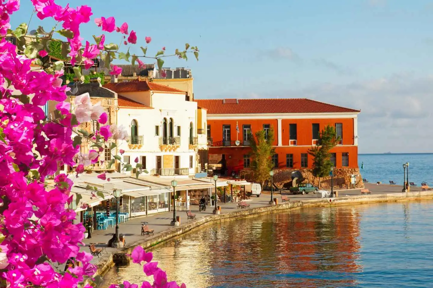
Join this unforgettable journey to the West Side of Crete, where you’ll uncover its rich heritage, breathtaking natural beauty, and charming towns that truly make this region unique. First, immerse yourself in the enchanting atmosphere of Chania Town for 2.5 hours.
Wander along its picturesque Venetian streets, lined with charming shops, bustling markets, and delightful local restaurants. Don’t miss exploring the famous old port, teeming with activity and offering mesmerizing views. Spend leisurely moments strolling along the coastline or relaxing with a drink at a seaside café. Then continue the bus journey from Chania to the lake, which will take approximately 1 hour.
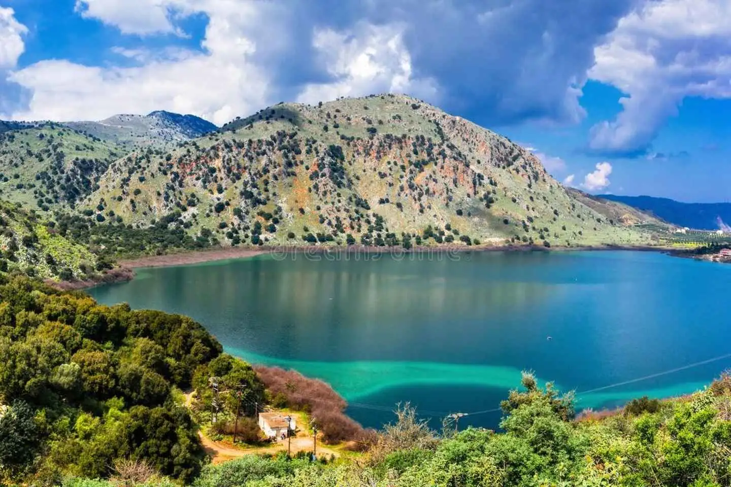
Discover the serenity of Crete’s largest natural lake, Lake Kournas, during our 1.5-hour visit. Marvel at the tranquil waters reflecting the majestic White Mountains, evoking an Alpine atmosphere. Choose to enjoy a scenic pedal boat ride, take a refreshing swim, or indulge in a delicious meal at one of the charming tavernas (additional cost).
Explore the captivating charm of Rethymno, a town steeped in Venetian heritage, during your 1.5-hour visit. Enjoy leisurely strolls along the old port, soaking in the picturesque vistas. Wander along the scenic oriental beach road, immersing yourself in the vibrant blend of cultures that define this coastal gem. Expect a return bus journey lasting approximately 2-3 hours, depending on the location of your hotel in the Heraklion Region.
Embark on an exhilarating jeep adventure filled with history, culture, and the breathtaking landscapes of Crete. This tour promises a blend of entertainment, fun, and exploration, taking you through the island’s most captivating sights.
Limni Kournas: Crete’s Natural Lake
Our adventure begins at Limni Kournas, Crete’s only natural lake. Here, we’ll take a short break to enjoy the panoramic views extending to the Lefka Ori’s northern fringes. The serene beauty of the lake provides a perfect start to our journey.
Argyroupoli’s Water Sources
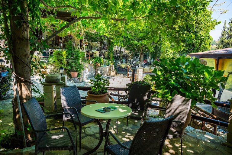
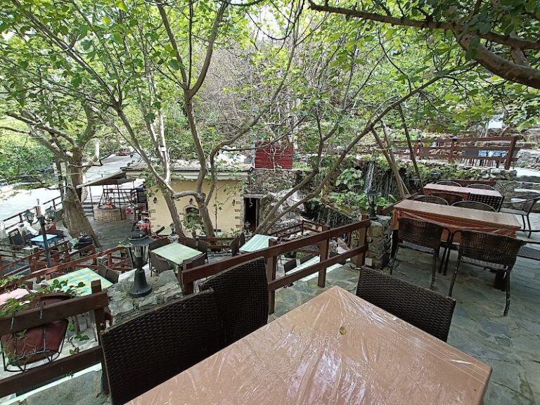
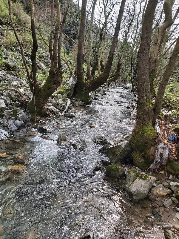
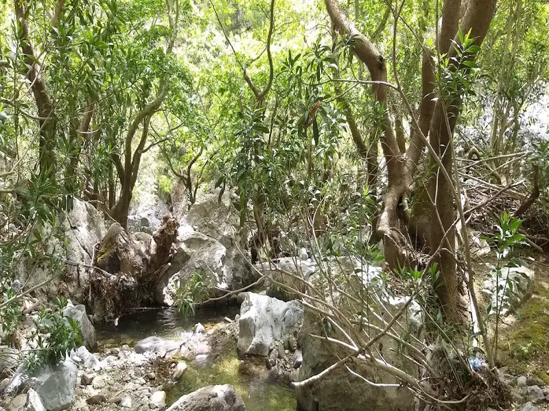
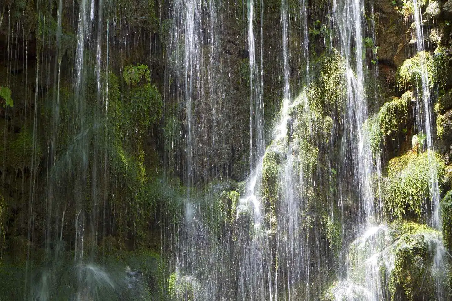
Next, we explore a valley leading to Argyroupoli’s water sources, where nature’s artistry is displayed through lush vegetation and stunning waterfalls. This picturesque setting offers a tranquil spot for a coffee break amidst nature’s splendor.
Holy Five Virgins Monument
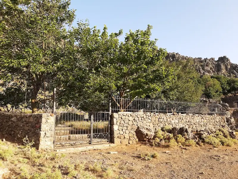
We then visit the monument dedicated to the Holy Five Virgins, marked by tombs in a cave from which holy water flows. A small church here pays homage to these martyred virgins, adding a spiritual dimension to our tour.
Mountro Gorge and “To Nisi”: Off-road route
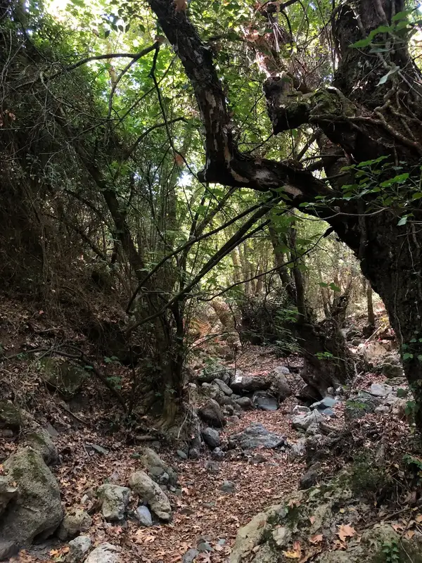
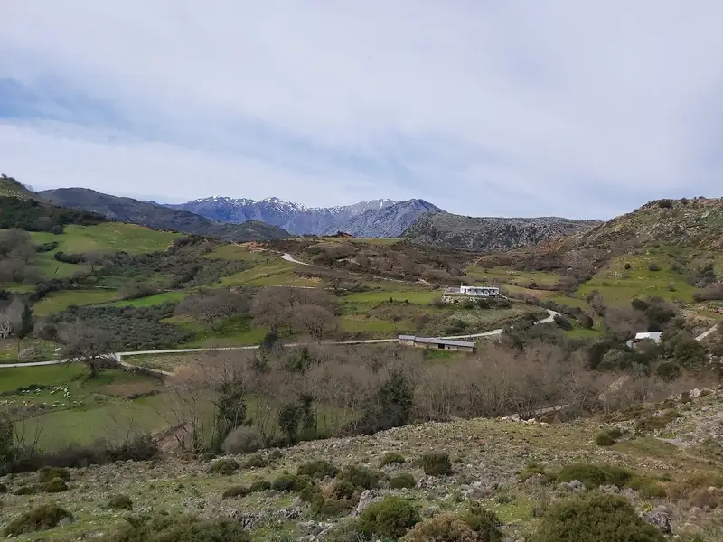
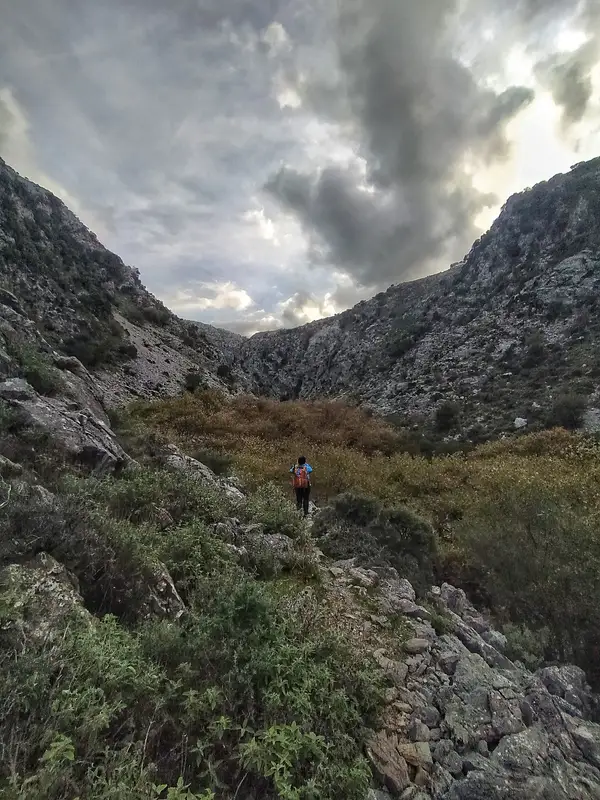
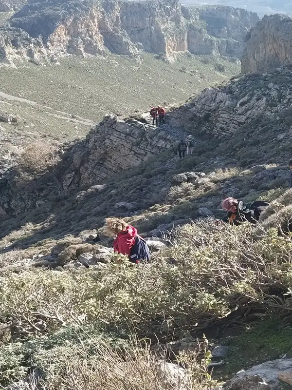
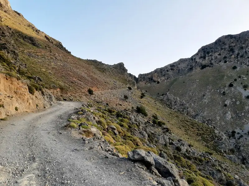
Our journey takes us off-road to the Mountro Gorge, through dense forest vegetation, and up the mountain to the historical ruins of “To Nisi”. This abandoned settlement whispers tales of a bygone era, inviting us to uncover its secrets.
Rural Life in Mountros Village
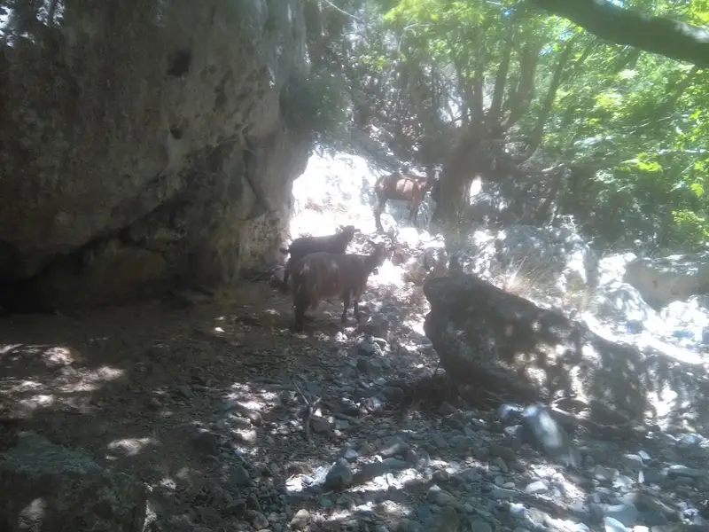
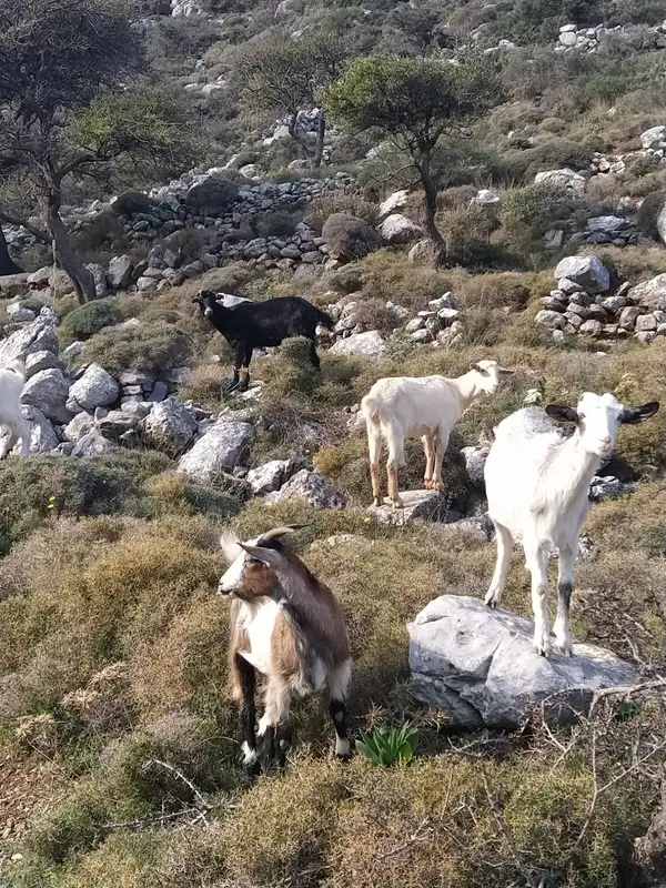
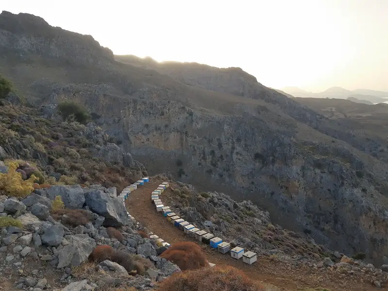
Passing through the quaint village of Mountros, we delve into Crete’s rural life at the Mitato of Astrinos in Kali Sykia. Here, we’ll experience traditional goat milking, cheese making, and savor the authentic feta of Crete, surrounded by nature.
In Agkouseliana village, we’ll halt to savor our Cretan lunch. Delight in shared appetizers for every four persons and a main course for each individual, accompanied by wine and water. Indulge in the authentic flavors of “whatever mum has cooked,” with vegetarian options readily available.
Preveli’s Palm Forest and Beach
Our expedition leads us to the enchanting palm forest of Preveli. A brief hike reveals a landscape dominated by palm trees, unique rock formations, and a river merging into the Libyan Sea, culminating at a stunning beach for a refreshing swim.
Kourtaliotis Gorge: Nature’s Majesty
On our return, we explore the Kourtaliotis Gorge, feeling its refreshing aura and admiring its wildlife, including the occasional rare vulture. This natural marvel marks a fitting end to our journey through the hidden treasures of Crete.
This day tour is not just a trip; it’s an immersion into the essence of Crete, filled with unforgettable memories, wildlife encounters, and a deep appreciation for the island’s unexplored beauty.



Start your day of adventure at your first stop of the trip, a local oil mill. Here you will have the opportunity to see how Crete’s famous olive oil is produced on this fascinating and informative outing.
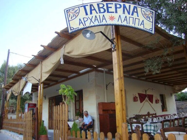
Follow on your journey through Crete and make a quick stop at the watersprings of Argyroupolis. These watersprings are responsible for the rich vegetation that surrounds the village, a truly magical and refreshing experience. Your last stop of the tour, lasting roughly 2,5 hours, will give you enough time to enjoy a swim and eat Cretan delicacies at the many taverns that are located around the lake.


Argiroupolis – Kournas Lake – Gergioupolis
Embark on an extraordinary adventure to Kournas Lake, Argiroupoli, and Georgioupoli, immersing yourself in their mesmerizing beauty. Delight in the pristine, transparent waters of Kournas Lake, lose yourself in the enchanting ambiance of Argiroupoli’s traditional village, and unwind on the picturesque golden beaches of Georgioupoli. This captivating journey guarantees awesome inspiring landscapes and treasured memories,a must for families with young children and those seeking to minimize bus travel time.
No results available
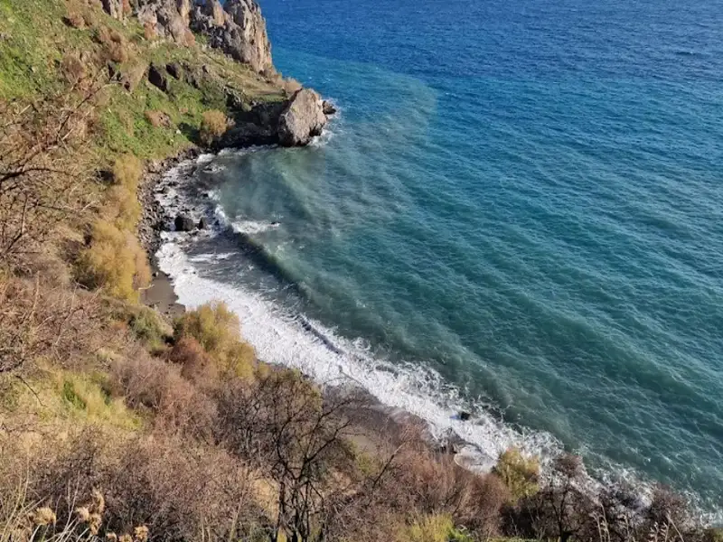
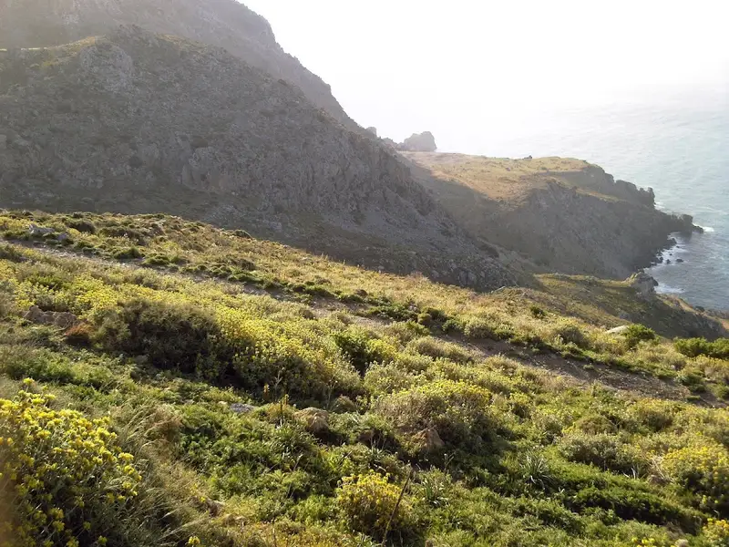
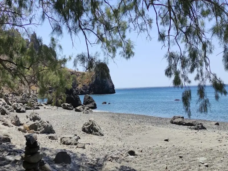
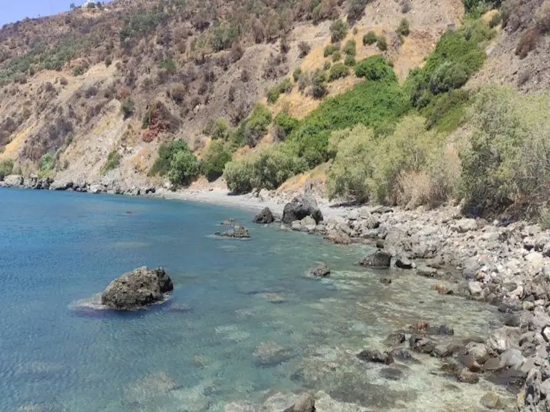
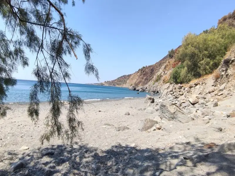
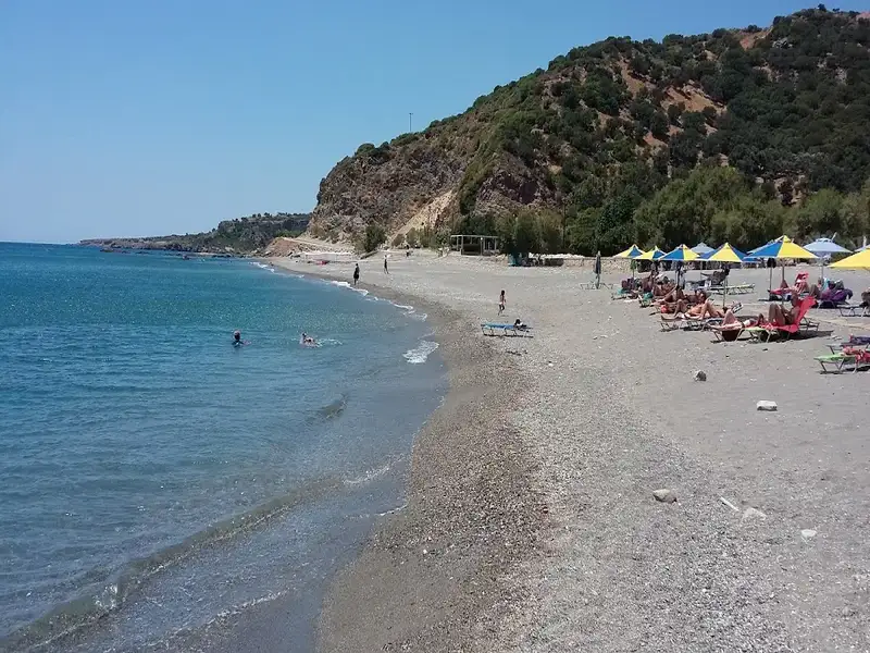
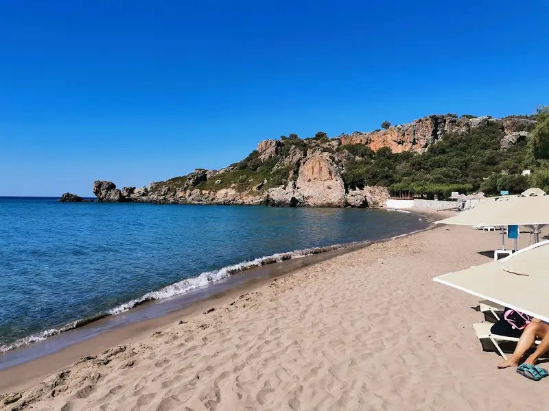
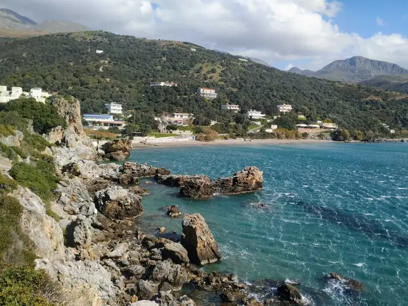
Klimata, known for its vines, is a 45km journey south from the city of Rethymno, situated next to the popular Korakas beach, close to Rodakino village. Korakas and Klimata are divided by a brief, rocky cape. Klimata is a petite bay consisting of three sequential beaches. Rodakino’s small harbour is found on the bay’s west side, reachable via a cement-paved path that starts from Korakas. From here, the first beach is easily accessible, positioned just beside the harbour. To get to the other two beaches, one can either walk through the first beach or take the dust road that links Korakas to Souda beach in Plakias.
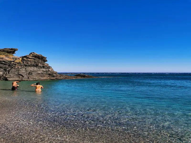
Klimata is not organised in any way, with only Korakas beach being so. All three beaches are known for their fine pebbles and transparent waters. In certain areas, the rocky sea floor is ideal for snorkelling. It’s likely that these beaches will be deserted, except for a handful of privacy enthusiasts or naturists. Klimata, meaning vines, is named after the vineyards that were once grown on the nearby slopes.
Situated 45km southeast of the city of Rethymno, right on the edge of the steep Rodakino canyon that cuts through the Kryoneritis mountain, is the village of Rodakino. The village is nestled between the resort of Plakias to the west and Fragokastelo to the east. Rodakino, a traditional Cretan village, spreads on both sides of the gorge, creating two distinct settlements known as Kato and Ano Rodakino. From the village, one can enjoy the stunning views of the azure South Cretan Sea. The village derives its name, which translates to ‘peach’ in Greek, from a peach tree that managed to grow in the region’s arid climate. Some locals, however, believe the gorge was originally named Rikinthos, which over time morphed into Rodakino.
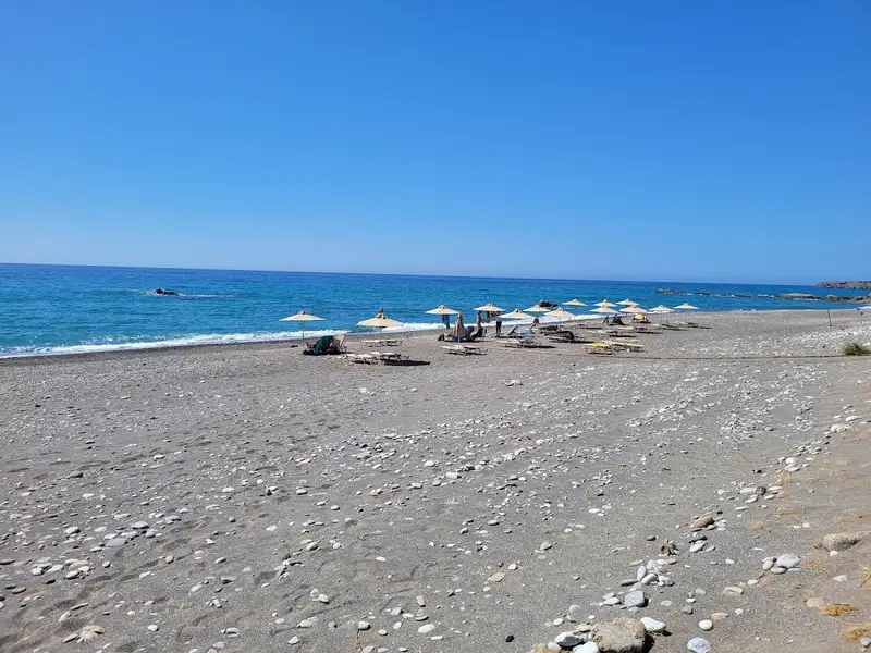
A few kilometres south of the village, where the canyon’s torrent meets the sea, lie several serene beaches. To reach them, one must follow the road leading to Korakas beach. Despite being blessed with an extensive beachfront, Rodakino has managed to preserve its traditional charm and tranquillity. The first beach you encounter at the end of the dry river is the Korakas beach, named after the Greek word for ‘crow’. It boasts of a long coastline with fine greyish pebbles and crystal-clear waters. There are a few amenities like umbrellas, taverns and rooms for rent. On the eastern end of the beach, there are hollowed-out rocks that locals believe once resembled a crow’s beak before being eroded by the sea and salt.
In the vicinity of Ano Rodakino, you’ll find the age-old churches of the Assumption, Transfiguration and Saint Panteleimon. Kato Rodakino is home to the old churches of St. George, Prophet Elijah and St. Anthony. Adventure seekers can follow the E4 trail to the summit of Kryoneritis Mount and then descend to Alones. At the peak, you’ll find the Church of the Holy Spirit, where a grand festival is held annually. According to local folklore, a shepherd discovered an icon of the Holy Spirit in a hole near the chapel, guided by the light of the Holy Spirit. The icon would mysteriously disappear when taken home and reappear at the same spot. This story led to the construction of the church. Moreover, the first flag of the Revolution was unfurled at the Kourkoulos site on May 24, 1821, by Melchizedek Tsouderos, the abbot of the Preveli monastery.
During the Cretan revolution of 1866, Korakas bay played a significant role as a landing spot for Greek cruisers unloading munitions, which were stored in the nearby Skotini cave. It was also the site where the famed steamship “Arcadi” made one of its final voyages to deliver munitions but was forced to retreat by the Ottomans.
Rodakino, a village situated 45km southeast of Rethymno city, can be found at the mouth of the steep Rodakino canyon that cuts through the Kryoneritis mountain. This village lies a few kilometres west of the Plakias resort and east of Fragokastelo. Half a kilometre west of Rodakino’s primary beach, Korakas, you’ll find Polirizos beach, encircled by lush olive groves. To reach Polirizos, you need to follow the paved road heading west from Korakas, which runs along the coastline. After crossing a small sandhill and a few minor coves, you’ll encounter the tiny Polirizos settlement, complete with accommodations and taverns. A charming small beach with fine sand and serene, shallow waters extends in front of Polirizos.
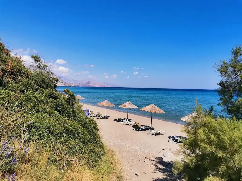
This beach, which is slightly organized with umbrellas and sunbeds, is a perfect spot for children. The coastal road ends here due to the rocky Kastelos hill that rises on the western part of the coast and extends inland. On the hill’s other side, you’ll find the awe-inspiring long bay of Peristeres, which can be accessed by turning left approximately 500m after Polirizos.
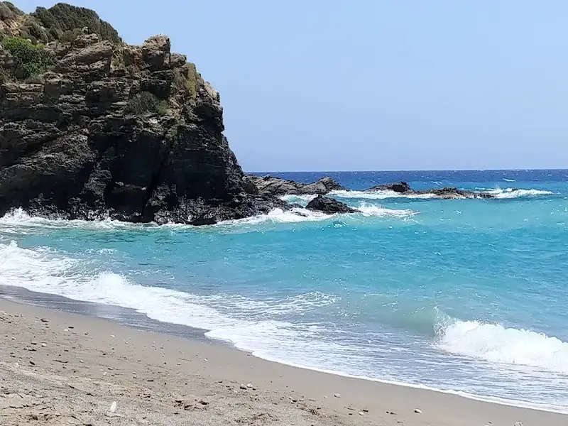
Peristeres, situated 47km southwest of the city of Rethymnon, is nestled between the villages of Fragokastelo and Rodakino. This beach is a well-known spot among Greeks due to its association with Alexis Tsipras, the former Prime Minister of Greece, who loved this beach. The beach extends from the western side of Kastelos hill all the way to Agia Marina. It comprises two separate coves and is typically tranquil, given its less accessible location compared to nearby Korakas and Polirizos beaches. There are no amenities on the beach, only a few small taverns. The beach is pebbly with some rocky patches, and is often frequented by nudists and campers who find respite under the large carob trees.
In Greek, Peristeres translates to ‘pigeons’, a name originating from the small sea caves at Kastelos cape where pigeons nest. These caves, located beyond the eastern end of the beach, are strikingly beautiful with arches, massive boulders, and tiny sandy beaches inside. The sea bed, reminiscent of an aquarium, is a perfect spot for snorkelling.
This beach also holds historical significance as it was from here that German General Heinrich Kreipe was transported to Egypt. Kreipe, the general commander of the land forces of “Fortress Crete” or Festung Kreta, was captured in Heraklion by two British officers and Cretan resistance fighters. After evading German patrols and traversing the mountains, they reached the southern side of the island where a British Motor Launch picked them up on May 14, 1944. This daring operation infuriated Hitler and is considered one of the most audacious of the Second World War. A resident of Rodakino village still possesses Kreipe’s handcuffs. The bay was also used by allied submarines and destroyers to bring in supplies for the battle against the Germans.
To reach Peristeres, one can either take the paved road from Polirizos heading west and then turn left onto the first dirt road, or use the 4km dirt road that connects Lakki, near Skaloti village, with Polirizos.
No results available
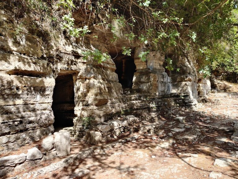
Ancient Lappa was built near the present-day town of Argyroupolis, situated 27km south of Rethymno. The area is now renowned for its springs with waterfalls, its old mills, and the lush green landscape that attracts thousands of visitors each year. Lappa, later known as Lappi or Lambi, is one of the towns believed to have been founded by Agamemnon in Crete. The citizens of Lyttos fled to Lapa after the massacre of Lyttos by Knossos. In 193 BC, Lappa became an ally with Teos, and in 183 BC with Pergamon.
The city thrived until 68 AD when the Roman general Quintus Caecilius Metellus destroyed it. It was later revived as a Roman town with special privileges at the end of the Roman Era. Its glory is reflected in the magnificent monuments that have been discovered and the coins minted. In the area, Roman baths and basilicas with mosaics have been identified, as well as inscriptions and statues of Zeus, Aphrodite, and Dionysus. The Cave of Agia Dynami also appears to have played a significant role, with its essential spring that gushes through the rock.
Additionally, near the village is the temple of the Five Virgins (Thekla, Marianna, Ethane, Martha, and Mary), who are believed to have died there. Beside it lies the Roman necropolis with carved tombs, in a green area with a water spring and a plane tree that has been designated as a natural monument.
After the arrival of the Arabs in Crete, the town and the Diocese founded by Apostle Titus were destroyed. During the Venetian period, the city passed from the hands of the Hortatsis family to Alexios Kallergis. It then thrived once more, which is strongly reflected in the splendid Venetian buildings of the village. The Turks called the town Gaidouropoli (i.e., Donkey Town) until 1822 when the rebels renamed it Argyroupolis. The General Assembly of Crete took place in Argyroupolis in 1867 and 1878, the year that Cretans declared the Union of Crete with Greece, though the attempt ultimately failed.
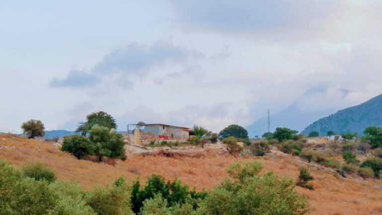
Located near the quaint village of Fylaki in the Apokoronas region of Chania, you’ll discover the vaulted tomb of Fylaki. Constructed during the post-Minoan times (after 1200 BC), it shares many similarities with the domed grave of Stylos at the Azogyres site.
This well-preserved and clean tomb features a lengthy entrance aisle, and its pyramid-like roof is truly striking. One particularly fascinating element is the massive carved boulder situated at the upper part of the entrance.
Finding the tomb can be somewhat challenging. Just 30 meters past the turnoff to Kastelos village, you’ll spot a small group of cypress trees near the tomb.
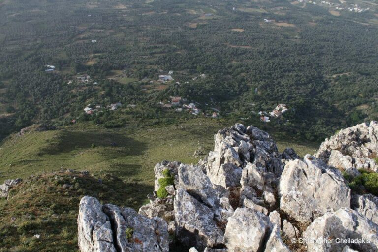
Above the Atsipades village in St Basil province, Rethymno, you can find a series of small peaks, with the highest being Kouroupa. The Kouroupa mountain range extends from west to east, separating the villages in the Agios Vassilios valley from the coastal settlements and creating a distinct climate. Kouroupa’s boundaries are well-defined, with two long and majestic canyons, Kourtaliotis and Kotsifos, marking its edges. Beyond Kouroupa’s peak, there are several smaller yet equally stunning peaks.
One of the most beautiful and unique peaks is Korakias, located just above Atsipades. The name Korakias means “the place with crows.” From a distance, Korakias appears impressive and peaky, with steep cliffs on each side and only the south side being easily accessible. This imposing, fortress-like location was chosen by the ancient Minoans as a peak sanctuary. Korakias was identified as a peak sanctuary in 1985, and its discovery has been announced in academic journals on several occasions. In 1989, Dr. Alan Peatfield excavated this peak sanctuary on behalf of the British School at Athens, and numerous papers have been published since then. A few artifacts from Korakias can be viewed at the Archaeological Museum in Rethymnon.
Unfortunately, there are no signs explaining the area’s history or providing directions to the site. Korakias can be reached via a rough dirt road starting from Atsipades, but the numerous side-streets can make identifying the peak difficult. However, the view from the peak sanctuary is breathtaking and stretches for several kilometers.
No results available
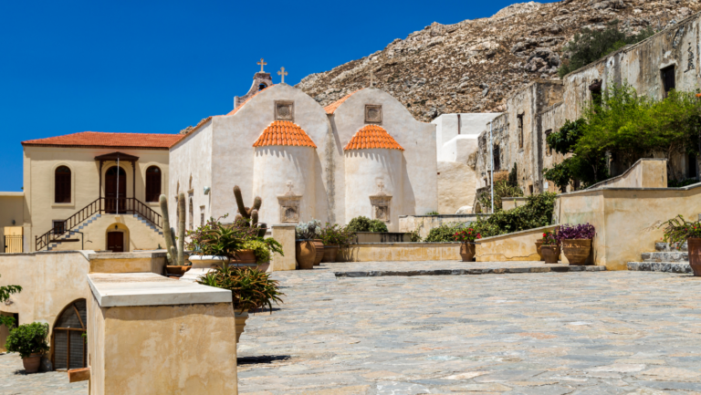
Preveli Monastery (also known as Prevelis Monastery) can be found 37km south of Rethymnon, nestled in a stunning natural landscape on the western slopes of Megalos Potamos (the end of Kourtaliotiko Gorge) and the nearby palm grove. The monastery complex consists of two separate monasteries situated 1.7km apart: the Kato (Lower) Monastery of Agios Ioannis Prodromos and the Piso (Back) Monastery of Agios Ioannis Theologos.
When approaching from Rethymnon, visitors first encounter the Kato Monastery of Agios Ioannis Prodomos (St. John the Baptist), which now lies in ruins. It is situated near the Megalos Potamos river and the region’s arched bridge. The monastery features an irregular arrangement of buildings centered around a courtyard, with the church of Saint John the Baptist at its heart. Surrounding the church are various structures that once housed the dining room, kitchen, abbot’s quarters, monks’ cells, an olive oil press, and storage rooms. The monastery was once in use year-round, as the surrounding land was ideal for cultivation and agriculture. However, it was eventually abandoned after being repeatedly destroyed and plundered by different conquerors of Crete.
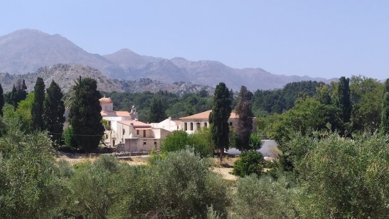
The Profitis Elias Monastery, situated on a hill with sweeping views 20km south of Rethymno and adjacent to Roustika village, is a relatively lesser-known monastery in Crete. Founded during the Venetian Era, it is among the island’s most historic convents.
Throughout its history, the monastery was repeatedly destroyed by the Ottomans, with the last instance occurring during the 1866 revolution. The monastery played an active role in the resistance against Turkish rule. Consequently, the monastery’s buildings, aside from the temple, were constructed in their present form after 1866. Additionally, Profitis Ilias made a significant contribution to preserving Cretan history by housing the Historical Archive of Crete during the German Occupation.
The monastery features a fortress-like architectural design. At the center of the courtyard, visitors will find a three-aisled basilica with a dome dedicated to Prophet Elijah (celebrated on July 20), the Holy Trinity, and Agia Zoni (August 31). The belfry of the monastery, along with that of Arkadi Monastery, are the only surviving Venetian bell towers in Crete. Surrounding the courtyard are the two-story monks’ cells, an incomplete guest house, and the refectory.
Within the temple, visitors can admire the ancient wooden iconostasis, the throne (dated 1843), and the pulpit. Additionally, numerous relics are housed in the sanctuary, including sacred vessels, vestments, gospels, crosses, relics of various saints, a brocade epitaph, old books (dating back to 1640), and manuscripts (from 1620).
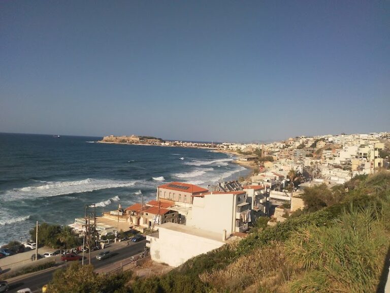
Constructed atop Timios Stavros hill in the western suburb of Rethymnon called Koumbes, the Convent of Jesus Christ (Christ the Savior) likely dates back to the Venetian period, similar to numerous other temples and monasteries in the area.
Historians speculate that the monastery was originally home to the Convent of Our Lady of Erimitiani, as evidenced by a 17th-century Renaissance painting. However, the monastery was destroyed during the Turkish occupation of Rethymnon in 1645 and only reopened in 1935.
The monastery’s church features two aisles dedicated to the Transfiguration and St. John the Baptist. The nuns are responsible for the beautiful paintings and icons within the church. Additionally, the monastery houses a small museum and library containing books and memorabilia belonging to Bishop Titos Sylligardakis.
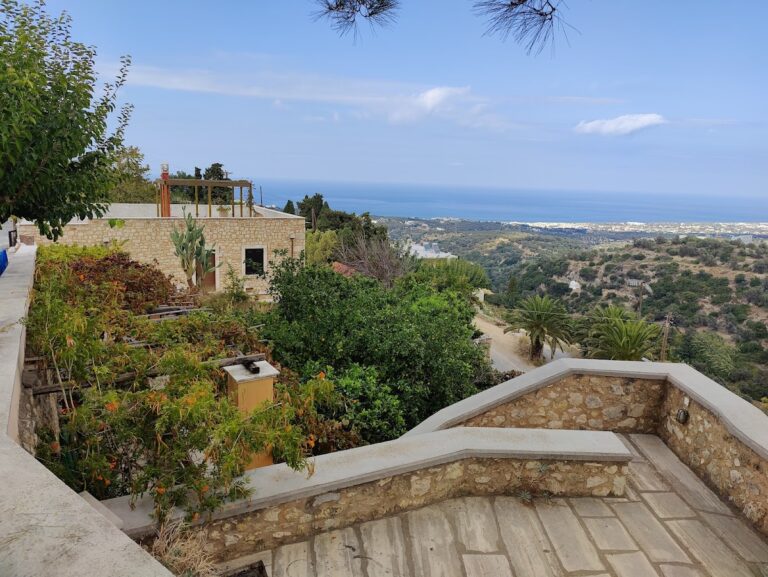
Located at the base of Mount Vrisinas and 5km south of Rethymnon, the Aghia Irini Monastery (also known as Santa Irene) stands at an elevation of 260m. As one of the oldest monasteries in Crete, dating back to before 1362, it currently functions as a nunnery.
Prior to the restoration efforts that began in 1990, Agia Irini was a collection of crumbling structures. However, thanks to meticulous restoration work that adhered to the original monastic architecture, the monastery is now considered one of the most picturesque on the island. In recognition of its architectural conservation, Agia Irini has received a European award for cultural heritage.
From a distance, the monastery resembles a fortress. Within its enclosure lies the relatively new church of Saint Irene, surrounded by the nuns’ quarters, an ancient olive mill, the chapel of Raphael, Nicholas and Irene, a small museum, the refectory, and workshops for painting, embroidery, and sewing. Outside the courtyard, the unrestored old three-aisled church of St. Irene, St. Catherine, and St. Euphemia can be seen.
No results available
No results available
No results available
No results available
No results available
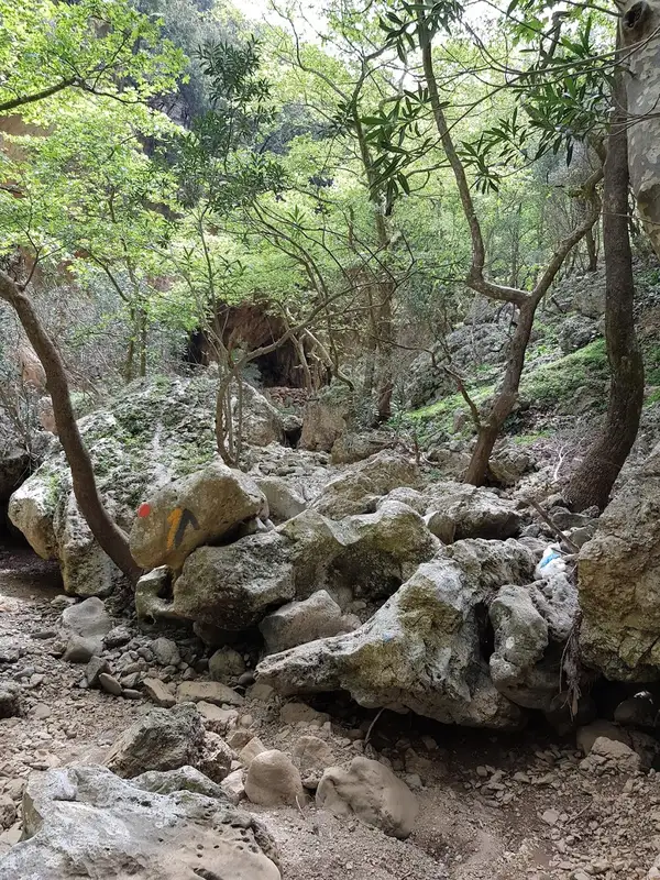
The Twin Ravines, or Kollita Gorges, can be found near the charming village of Argyroupolis, approximately 22km southwest of the city of Rethymnon. The name refers to the two parallel canyons that conclude near the village of Kato Poros. The easternmost canyon, Moundros Gorge, is bordered by the Vigla peak (567m) to the east and the Nissiani hill to the west, where you can find the abandoned settlement of Nissi. Adjacent to Moundros Gorge to the west, is the Vilandredo Gorge, named after the village at its entrance and often referred to as Kollita Gorge.
The gorges offer an ideal hiking experience for novices due to their ease and stunning surroundings. It’s a perfect outing for groups of friends – park your car in Kato Poros or Argyroupolis, explore the Moundriano canyon, and return via the second Kollita Gorge for a round trip.
A suggested itinerary for the two gorges starts in the verdant Argiroupoli, built on the site of the ancient city of Lappa. From there, head east to the village of Moundros, known for its springs, fountains, and beautiful Venetian architecture. Don’t miss a stroll through the narrow streets of Moundros and a visit to the churches of Saint Constantine, Saints Anargyri (11th century), and Saint Nicholas. Near Moundros, you’ll find the deserted settlement of Nissi, notable for its impressive stone structures.
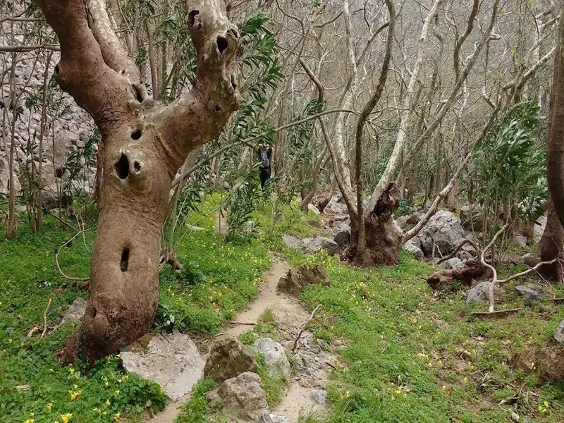
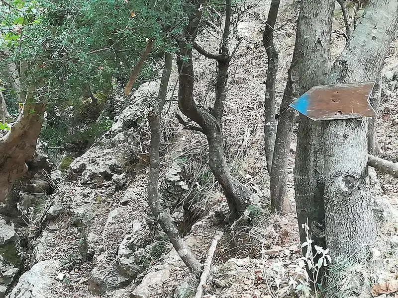
From the village, make your way to the northern entrance of the lush Moundros Gorge, which leads to the village of Velonado. A well-marked path descends to the riverbed, which is typically full of water. The canyon boasts towering plane trees and several freshwater ponds. After about a 1.5-hour walk, you’ll reach the southern entrance of Moundriano Gorge near Velonado.
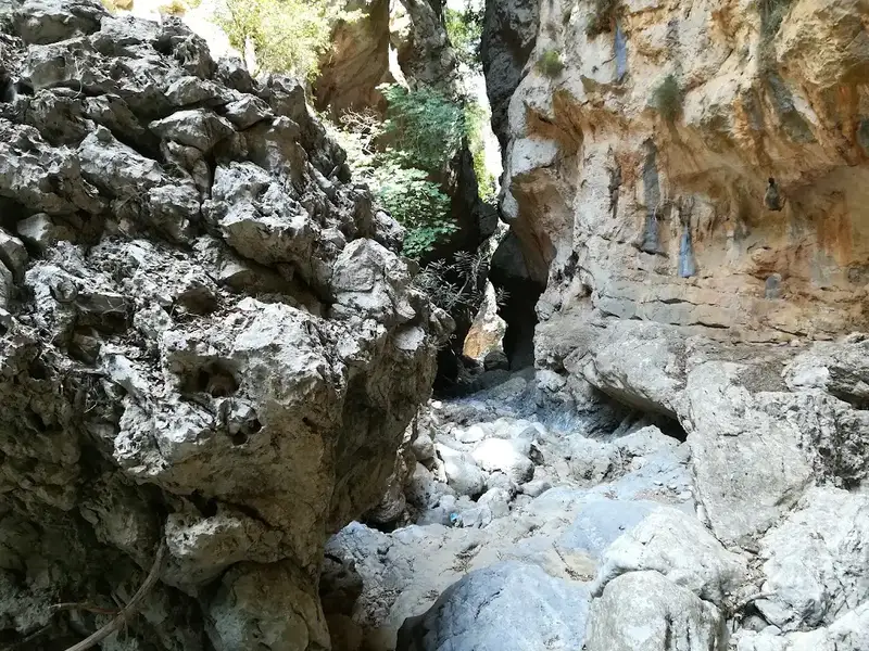
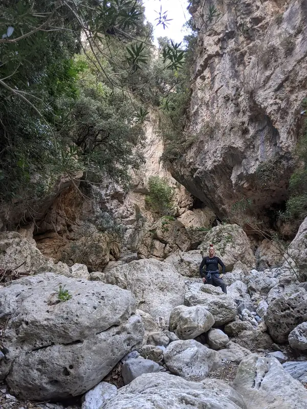
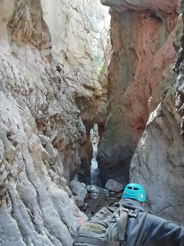
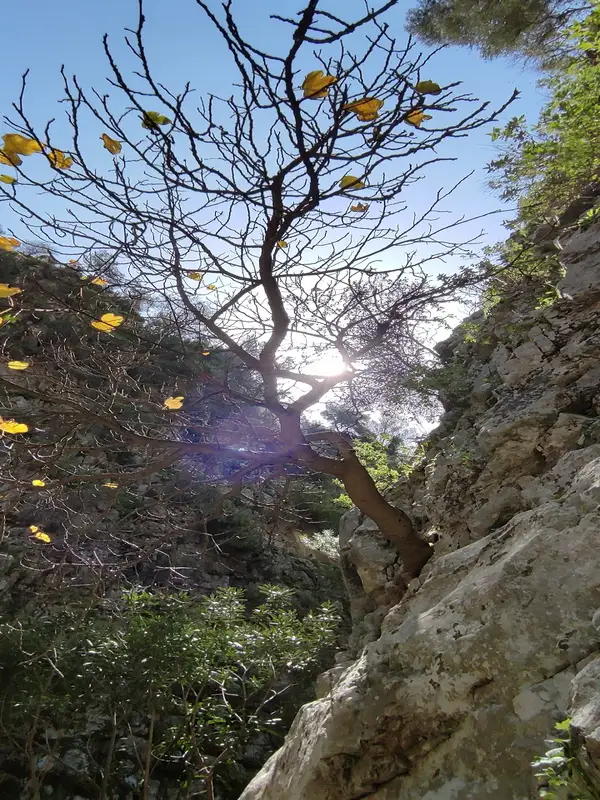
Exiting the canyon, head west on the asphalt road to the entrance of the second canyon, Kollita Gorge, near Vilandredo. This canyon is even more impressive than Moundriano, filled with plane trees and a path that runs along the riverbed. The most breathtaking part of the canyon is where its towering walls nearly touch, creating a very narrow passage. Along the slopes of the gorge, you’ll spot numerous fig and holly trees. After a total of four hours, you’ll exit the canyon, which once supplied water to the Roman baths of Lappa, now Argyroupolis.
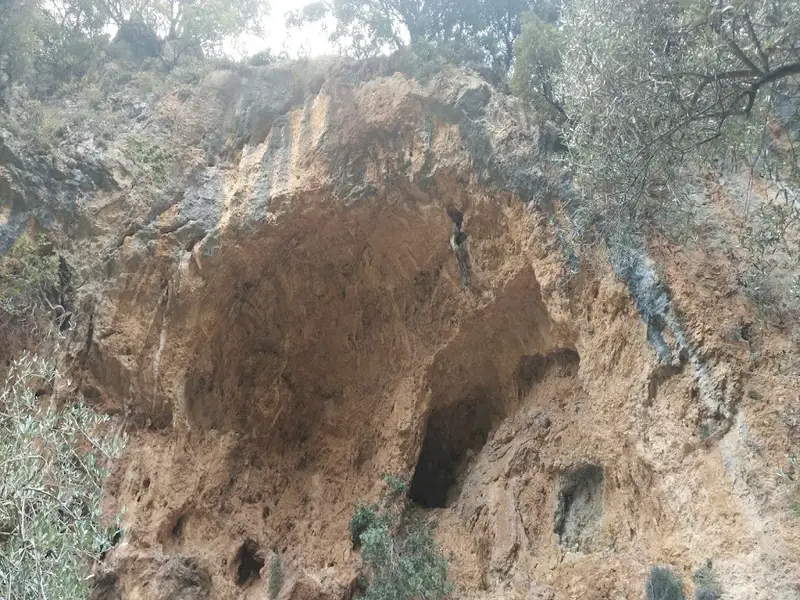
Following the old stone path amidst laurels, myrtles, and hollies, you’ll reach Kato Poros and the area of Pente Parthenes (Five Virgins). Here, you’ll find a spring under the perennial plane tree of Pente Parthenes, the chapel of the Five Virgins, and the Hellenistic and Roman tombs of Lappa. From here, the trail broadens and leads back to the lush green Argiroupoli. In Argiroupoli, be sure to visit the Venetian buildings, churches, and picturesque alleyways. The springs of Argyroupolis are a popular attraction, particularly the spring in the cavernous chapel of Agia Dynami. The area is lush with several small waterfalls and numerous restaurants.
The Twin Ravines, or Kollita Gorges, are situated near the scenic village of Argyroupolis, approximately 22km southwest of the city of Rethymnon. The name derives from two adjacent canyons that conclude near the village of Kato Poros. The eastern canyon, Moundros Gorge, is bordered by the Vigla peak (567m) to the east and Nissiani hill to the west, which houses the deserted Nissi settlement. West of Moundros gorge lies the Vilandredo gorge, named after the village at its entrance and more commonly referred to as Kollita Gorge.
These gorges are perfect for casual hikers due to their ease and stunning beauty. They are particularly suitable for groups of friends who can park in Kato Poros or Argyroupoli, explore the Moundriano canyon, and return via the second Kollita Gorge.
Suggested Two Gorges Route
Starting from the verdant Argiroupoli, built on the ancient city of Lappa, we journey east to the village of Moundros, known for its springs and fountains. The village is home to many beautiful Venetian structures (old courts, prisons, and noble houses) and the churches of Saint Constantine, Saints Anargyri (11th century), and Saint Nicholas are well worth a visit. Don’t forget to wander the narrow streets of Moundros. Close to Moundros, the deserted Nissi settlement, famous for its stunning stone structures, can be found.
From the village, the entrance to the verdant Moundros gorge is accessible, leading to the village of Velonado. A well-defined path descends to the riverbed, which is usually filled with water. The canyon is filled with towering plane trees and several fresh water ponds. After roughly 1.5 hours of walking, we reach the southern entrance of Moundriano Gorge, near Velonado.
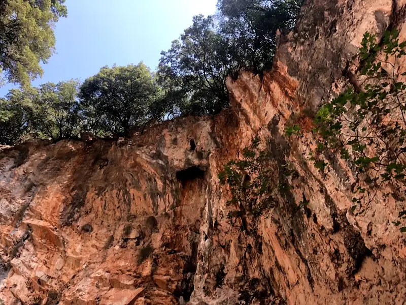
Upon exiting the canyon, we follow the asphalt road west to the entrance of the second canyon, Kollita Gorge, near Vilandredo. This canyon, more magnificent than Moundriano, is lush with plane trees, and the path follows the riverbed. The most beautiful section of the canyon is where the high walls nearly touch, forming a narrow passage. Fig and holly trees can be seen on the gorge’s slopes, hanging overhead. After approximately four hours, we exit the canyon, which once provided water for the Roman baths of Lappa, now Argyroupolis.
Following the ancient stone path through laurels, myrtles, and hollies, we reach Kato Poros and the area of Pente Parthenes (Five Virgins). Here, one can find the spring beneath the perennial plane tree of Pente Parthenes, the chapel of the Five Virgins, and the Hellenistic and Roman tombs of Lappa. From here, the trail broadens and leads us back to the lush green Argiroupoli. In Argiroupoli, the Venetian buildings, churches, and picturesque alleys are worth a visit. A popular attraction is the springs of Argyroupolis, with the most notable spring located in the cavernous chapel of Agia Dynami. The area is lush with several small waterfalls and numerous restaurants.
The Skaloti Gorge, nestled within the extensive area of Fragokastelo, is one of many parallel canyons in the region. This compact canyon spans a distance of 2km, beginning from the picturesque Manikas plateau and concluding at the coastal village of Skaloti. The journey, which takes approximately 2.5 hours, involves hiking along an ancient path paved with stones and surrounded by steep inclines. Initially, the canyon is wide and open, but it gradually narrows and the walls become vertical. Vegetation in the area is primarily composed of bushes and undergrowth. The Perama stream traverses the gorge, finally emptying onto the shores of Lakki beach.
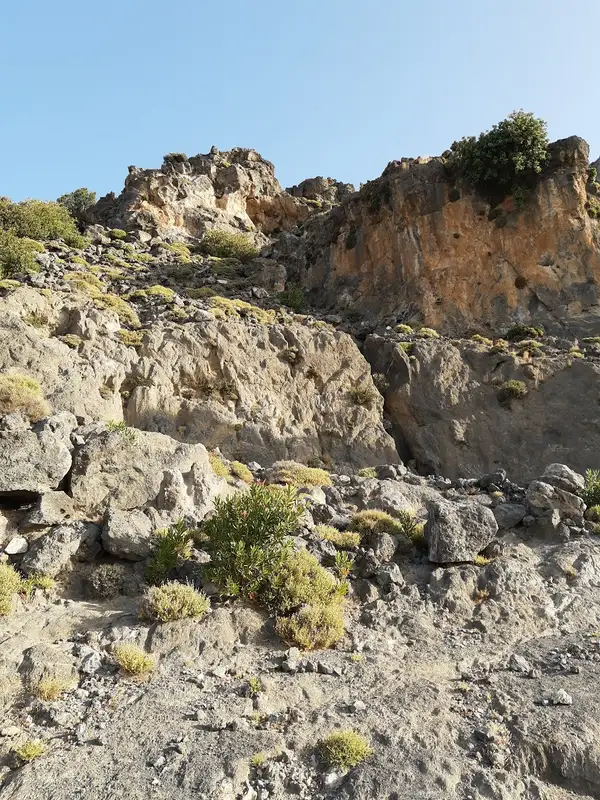
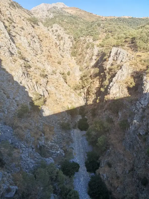
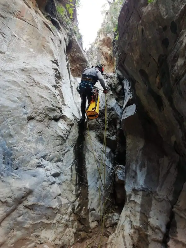
The stunning Sykia gorge, which is actually the easternmost gorge in the province of Sfakia, is located north of Rodakino village. It’s a technical canyon, meaning that traversing it requires specialized equipment due to its over 10 steep descents or waterfalls, which are safeguarded by the speleological groups of Crete. The tallest rappel stands at around 12 meters high.
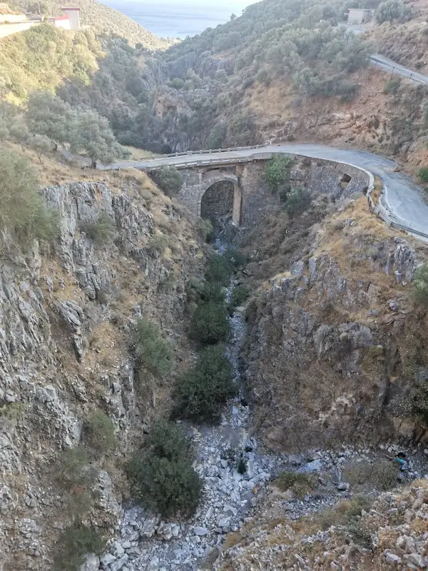
The Sykia stream combines with the untamed canyons of Rodakino (also known as Maglinara) and the longest gorge in the area, Karavos. The stream then flows under both the new and old bridges of Rodakino, finally reaching the picturesque Korakas beach. Canyon explorers typically leave the gorge just after the old bridge, while those up for a full-length trek will encounter another rappel. The narrowest part of Sykia, after it merges with the Rodakino Gorge, is truly breathtaking.
Speleological clubs have named the gorge Sykia, meaning sycamore-fig tree, due to the abundance of fig trees found along the route. However, its official name is Xepitira. Except for times following heavy rainfall, the gorge is typically dry.
No results available
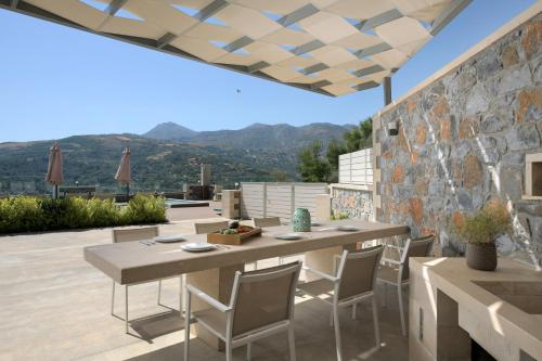
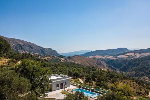
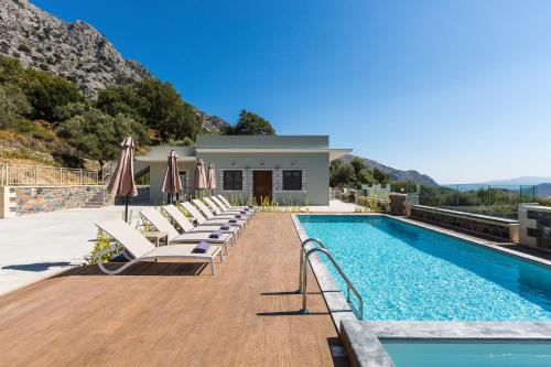
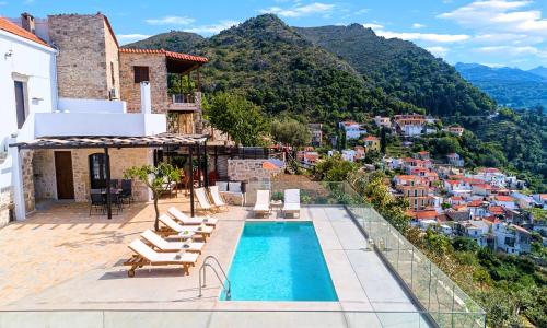
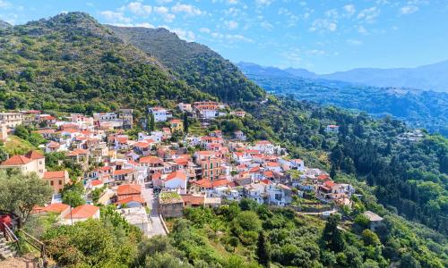
Situated in Asigonía in the Crete region, Aloni Villa, an Awe-Inspiring Retreat, By ThinkVilla features a garden. The villa has mountain views and is 62 km from Chania Town.
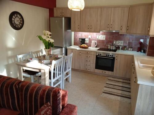
This air-conditioned villa is fitted with 4 bedrooms, a satellite flat-screen TV, and a kitchen with a dishwasher and an oven. There is a bathroom with a hair dryer.
Speaking German, Greek, English and French at the 24-hour front desk, staff will be happy to provide guests with practical information on the area.
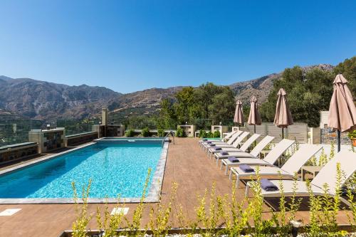
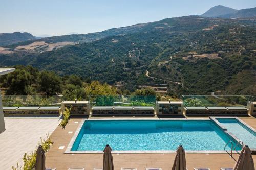
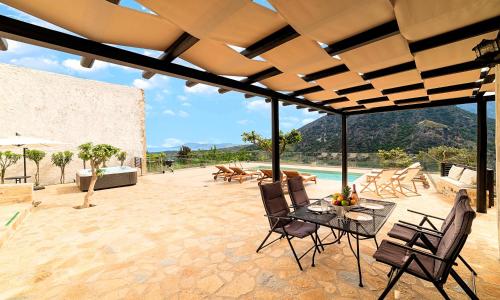
The villa offers a seasonal outdoor pool. Aloni Villa, an Awe-Inspiring Retreat, By ThinkVilla features a barbecue.
Balíon is 60 km from the accommodation, while Rethymno Town is 19 km from the property. Chania International Airport is 65 km away.
from
€212
/night
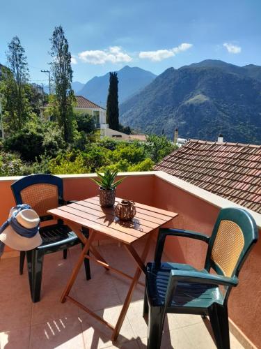
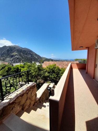
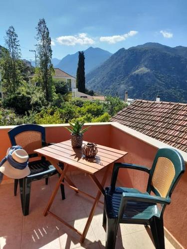
Boasting garden views, Thea’s country house features accommodation with a balcony and a coffee machine, around 23 km from Archaeological Museum of Rethymno. It features a garden, mountain views and free WiFithroughout the property.
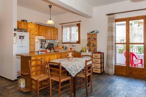
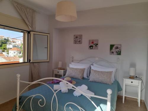
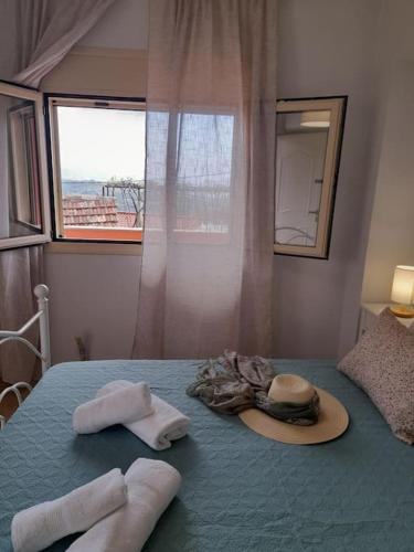
The holiday home with a terrace and sea views has 2 bedrooms, a living room, a flat-screen TV, an equipped kitchen with an oven and a toaster, and 1 bathroom with a walk-in shower. Towels and bed linen are available in the holiday home.
If you would like to discover the area, hiking is possible in the surroundings.
Museum of Ancient Eleftherna is 47 km from the holiday home, while Municipal Garden is 22 km from the property. The nearest airport is Chania International Airport, 63 km from Thea’s country house.
from
€86
/night
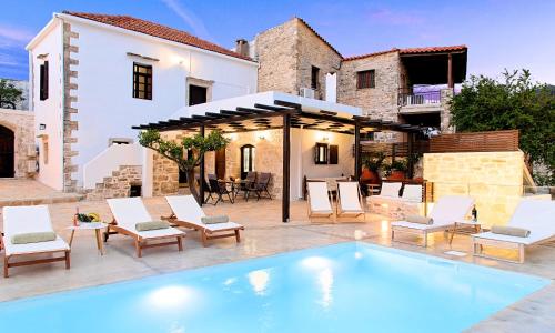
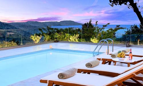
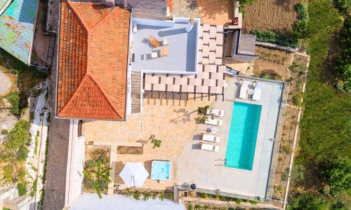
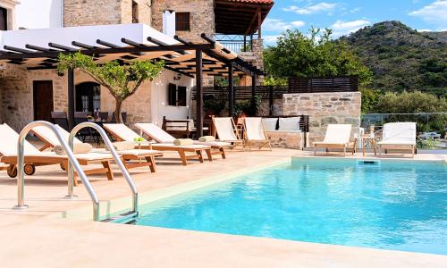
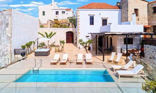
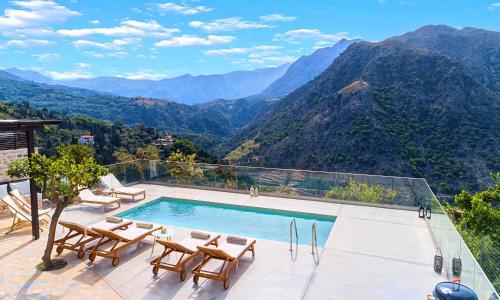
Boasting pool views, Villa Barozziana Private Heated Pool & Jacuzzi features accommodation with a balcony and a coffee machine, around 22 km from Archaeological Museum of Rethymno. It features pool with a view, barbecue facilities, mountain views and free WiFithroughout the property.
The villa with a terrace and sea views has 2 bedrooms, a living room, a flat-screen TV, an equipped kitchen with a dishwasher and an oven, and 2 bathrooms with a walk-in shower. Towels and bed linen are offered in the villa.
A car rental service is available at the villa.
Museum of Ancient Eleftherna is 46 km from Villa Barozziana Private Heated Pool & Jacuzzi, while Municipal Garden is 22 km from the property. The nearest airport is Chania International Airport, 62 km from the accommodation.
from
€352
/night
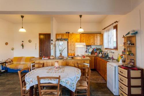
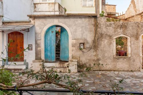
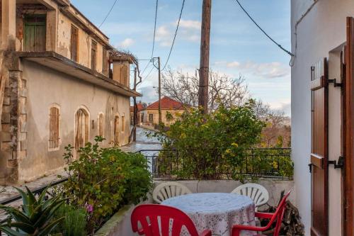
Situated in Argyroupolis in the Crete region, LESKA APARTMENT IN ARGYROUPOLI features a balcony. The accommodation is 23 km from the Archaeological Museum of Rethymno and has free WiFithroughout the property.
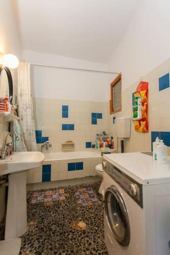
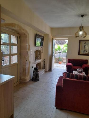
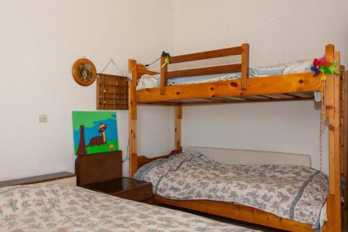
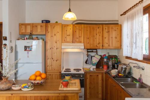
Offering direct access to a terrace, this air-conditioned apartment comes with 3 separate bedrooms and a fully equipped kitchen. Towels and bed linen are available in the apartment.
Museum of Ancient Eleftherna is 47 km from the apartment, while Municipal Garden is 22 km from the property. The nearest airport is Chania International Airport, 63 km from LESKA APARTMENT IN ARGYROUPOLI.
No results available
Connect with thousands of Crete visitors and boost your bookings.
No results available
© All rights reserved. Crete Locals