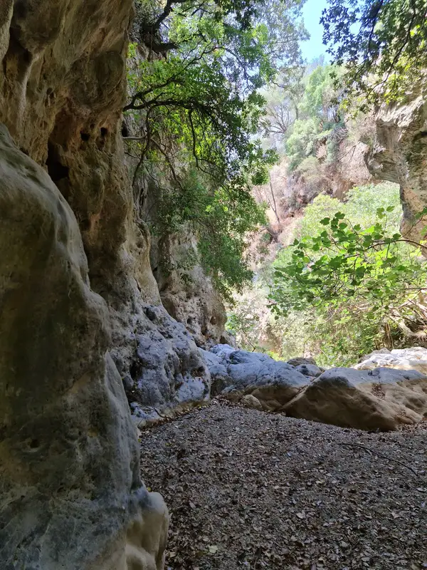
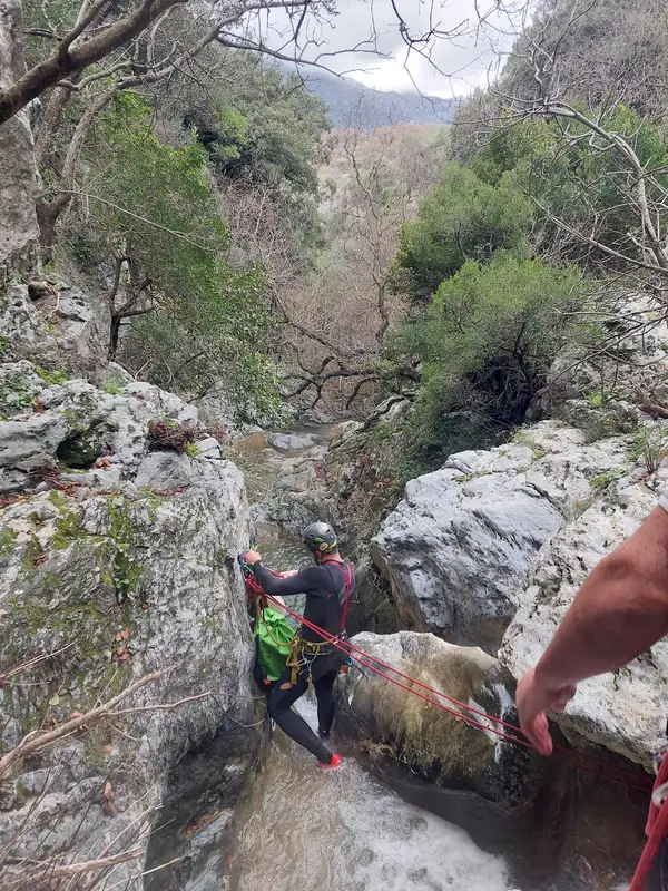
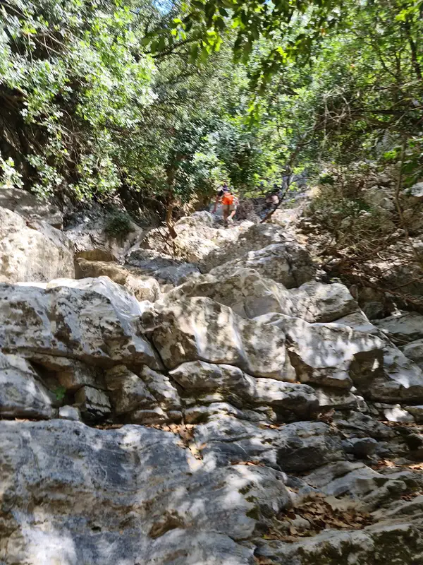
Embark on a thrilling river trekking through the biggest gorge in Rethymnon, right in the center of the island of Crete.
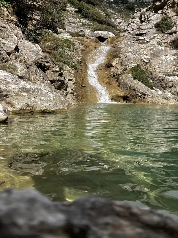
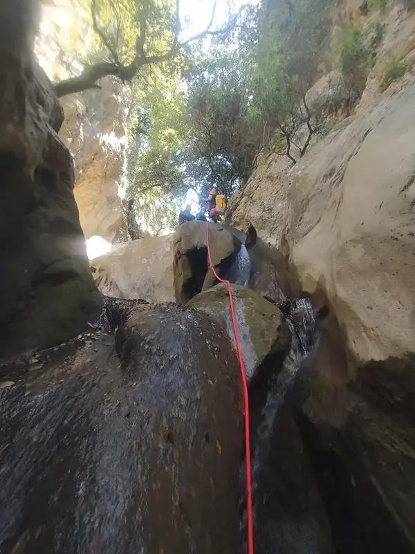
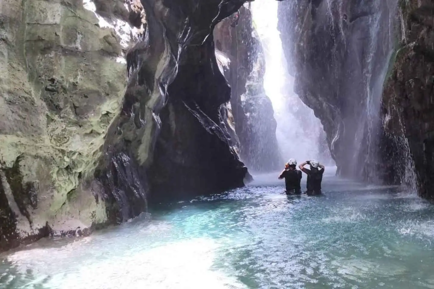
Follow the river’s shore through special paths away from crowds with our experience guide and get the chance to explore the hidden forest of the gorge, splash into natural pools, and witness the huge waterfall that falls into the canyon.
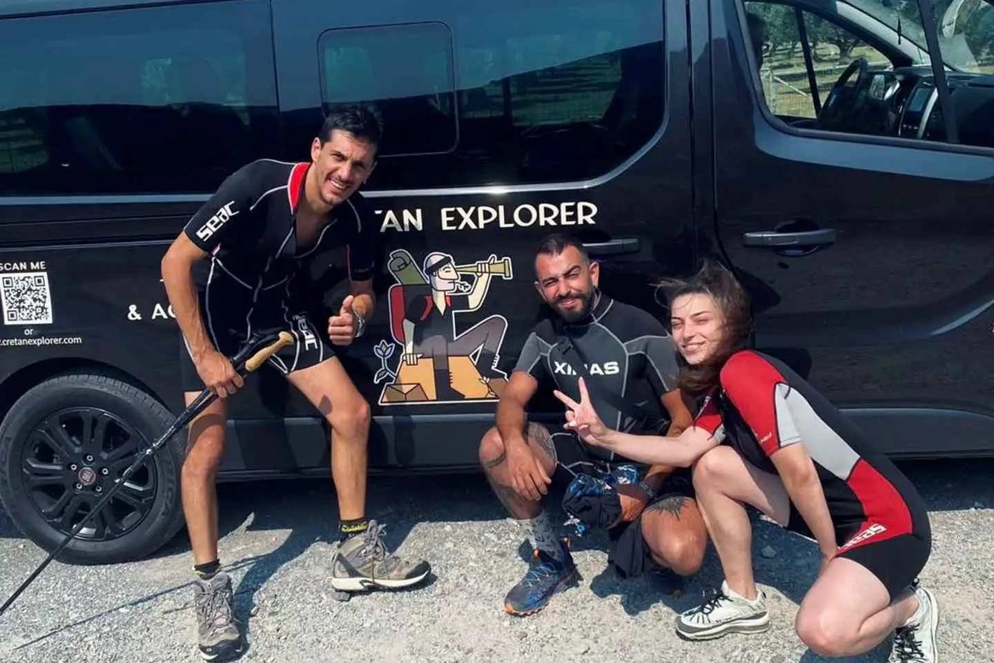
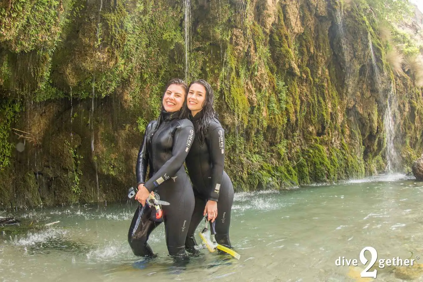
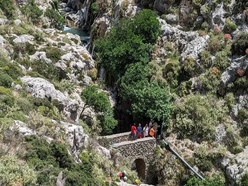
Once we arrive above the gorge we will provide you with neoprene suits, helmets, walking sticks and after a short briefing about the route that we follow, we immediately start the adventure!
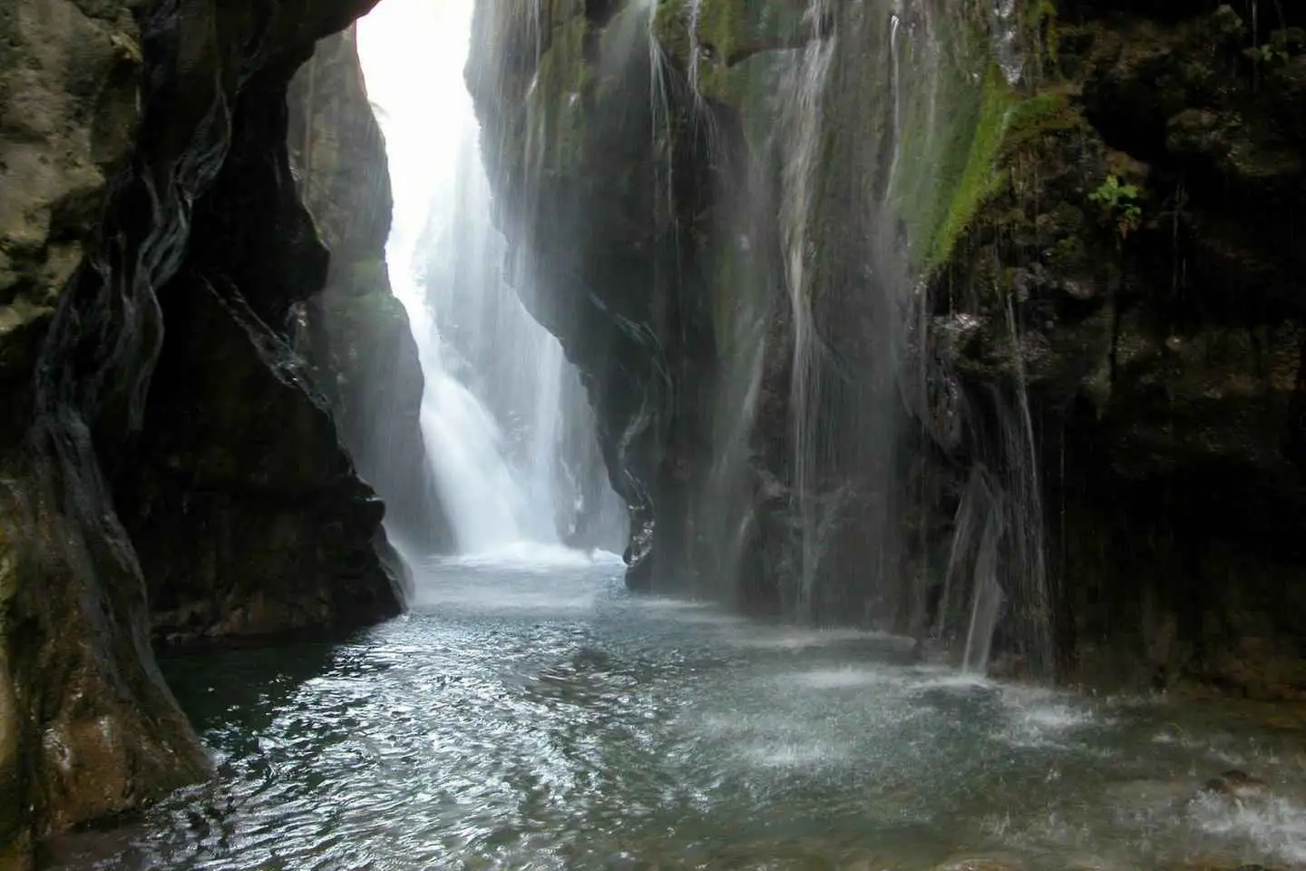
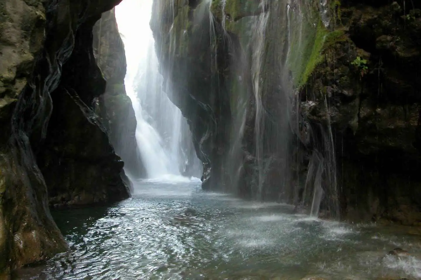
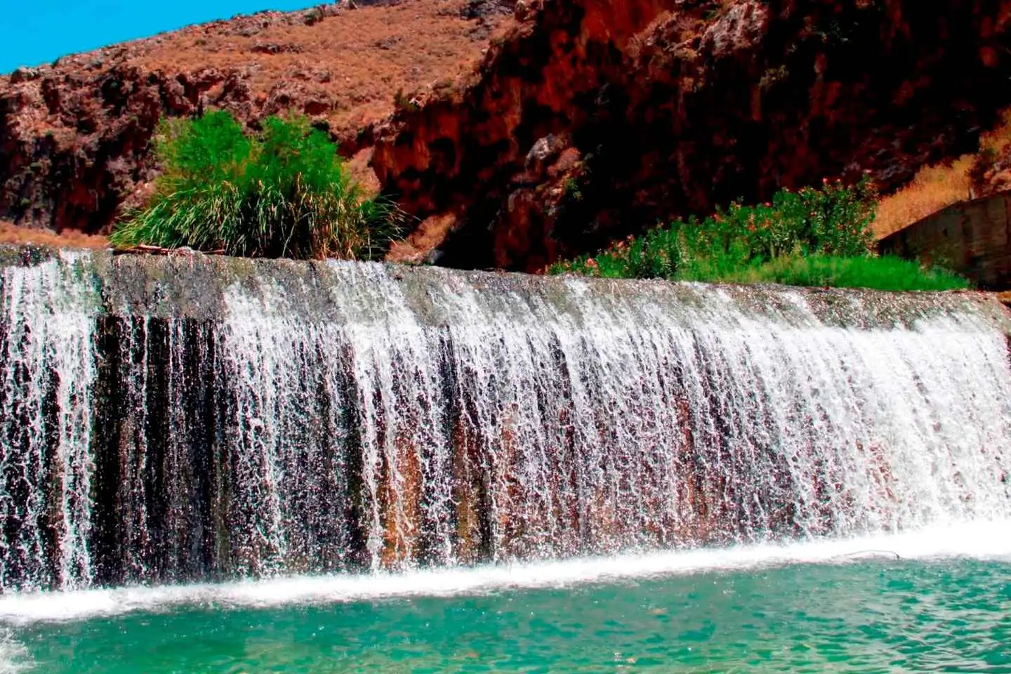
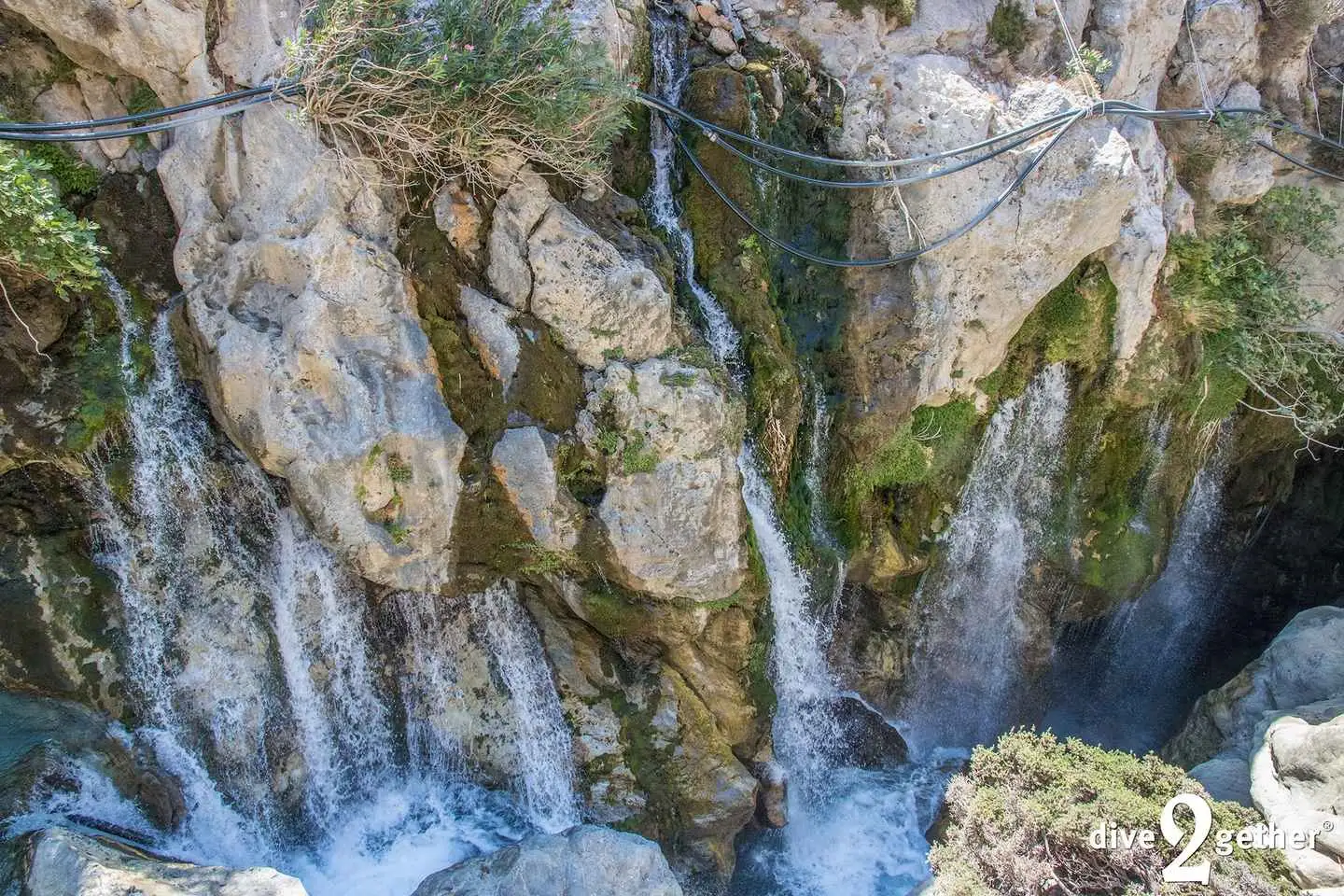
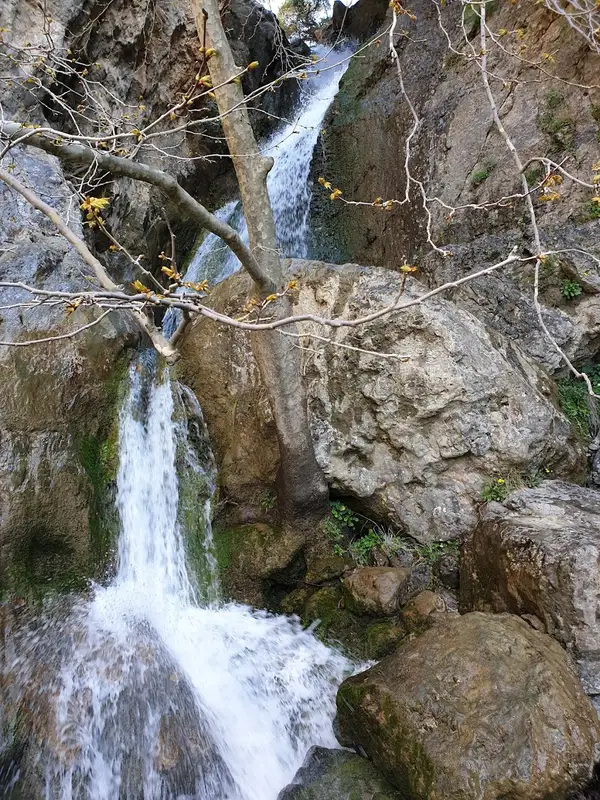
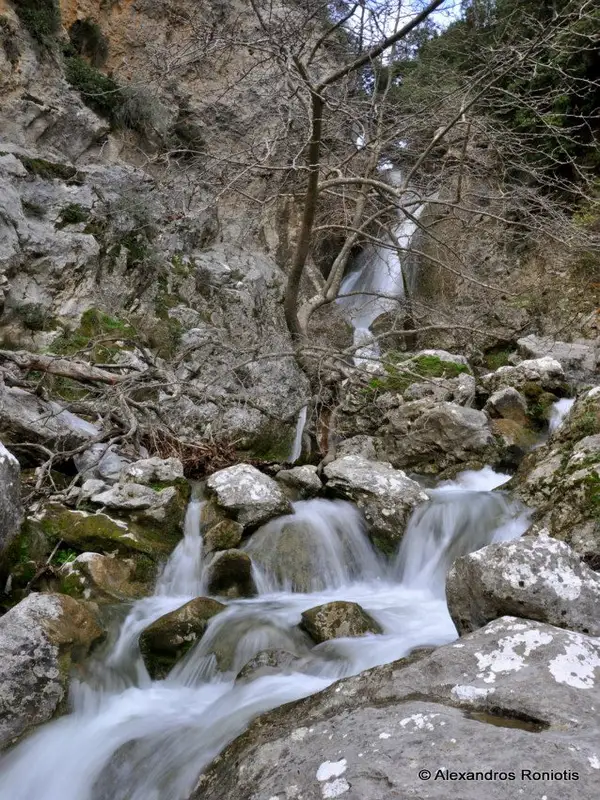
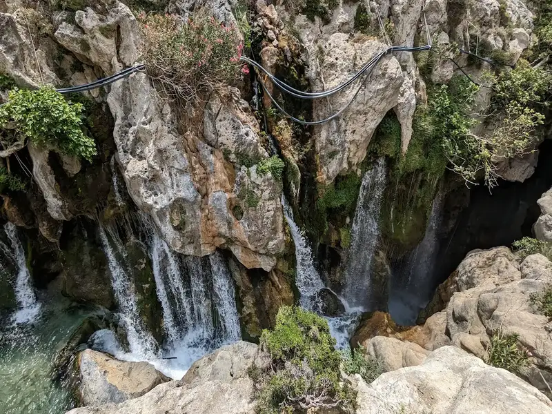
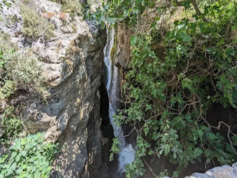
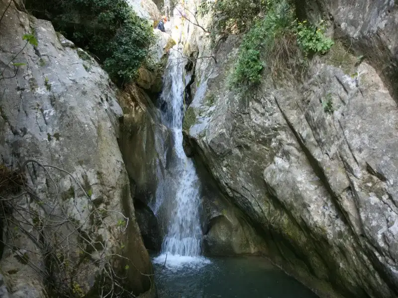
The first part includes an amazing view of the great waterfall! The flow never stops and the amount of water coming down from the mountains is simply amazing!
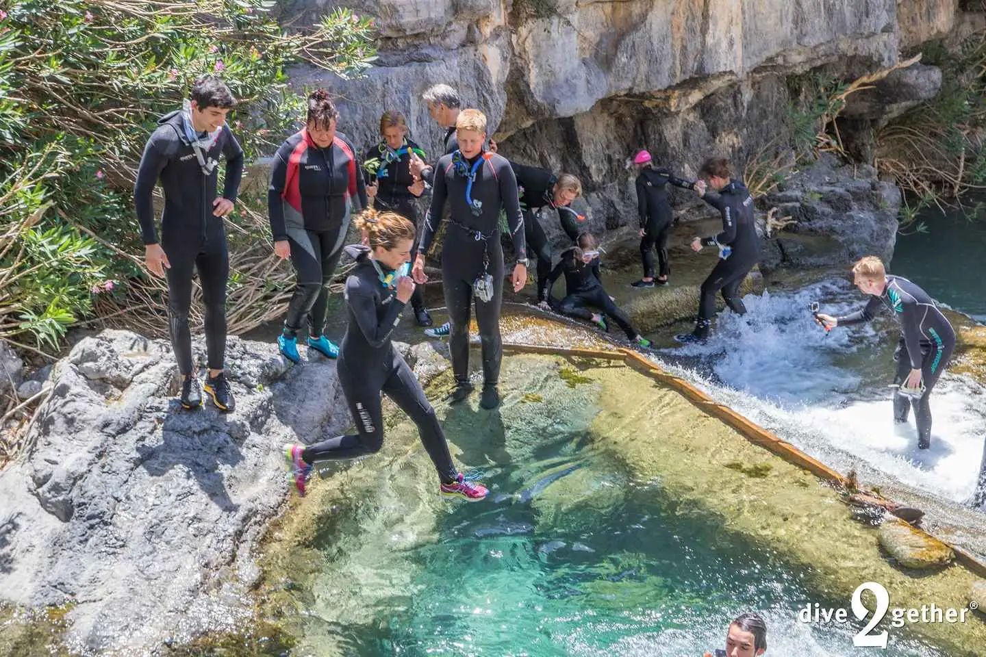
A small and safe jump will cool you up as the place is perfect for some instagramik pictures
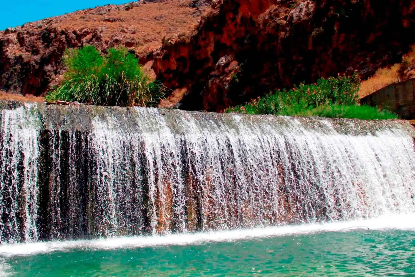
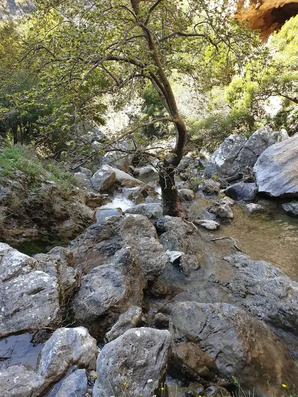
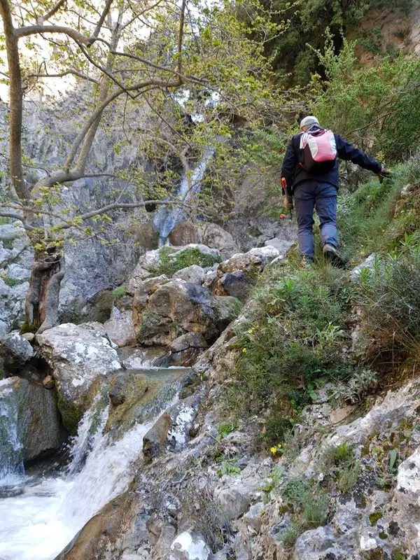
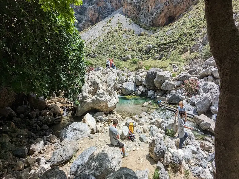
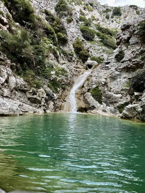
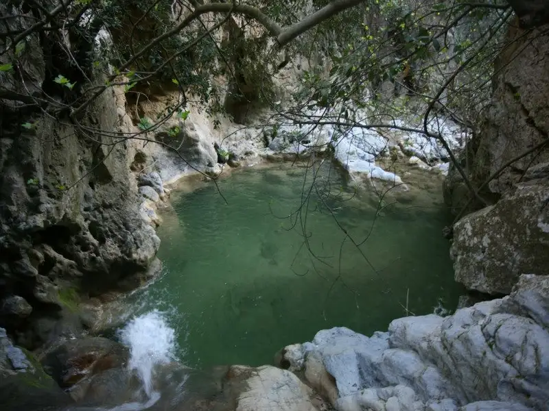
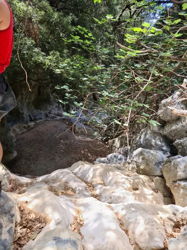
We continue down the river by splashing into natural pools and having fun next to the river’s shore. Passing by the amazing route down the gorge, you will see some plane trees around us, which create the perfect scenery – A place away from crowds – you will love.
After walking for about 2 more hours into the gorge, we finally reach an old olive grove, which is our exit point from the gorge. There we will go at a hidden paradise on earth called “Banana Garden” to have a refreshment and talk about our experience!
Overall, the Kourtaliotiko Gorge trek is a moderate hike that is suitable for most fitness levels. It offers a unique opportunity to explore one of the most stunning natural wonders of Crete and is sure to leave you with lasting memories.
Embark on a thrilling river trekking through the biggest gorge in Rethymnon, right in the center of the island of Crete.
Follow the river’s shore through special paths away from crowds with our experience guide and get the chance to explore the hidden forest of the gorge, splash into natural pools, and witness the huge waterfall that falls into the canyon.
Once we arrive above the gorge we will provide you with neoprene suits, helmets, walking sticks and after a short briefing about the route that we follow, we immediately start the adventure!
The first part includes an amazing view of the great waterfall! The flow never stops and the amount of water coming down from the mountains is simply amazing!
A small and safe jump will cool you up as the place is perfect for some instagramik pictures
We continue down the river by splashing into natural pools and having fun next to the river’s shore. Passing by the amazing route down the gorge, you will see some plane trees around us, which create the perfect scenery – A place away from crowds – you will love.
After walking for about 2 more hours into the gorge, we finally reach an old olive grove, which is our exit point from the gorge. There we will go at a hidden paradise on earth called “Banana Garden” to have a refreshment and talk about our experience!
Overall, the Kourtaliotiko Gorge trek is a moderate hike that is suitable for most fitness levels. It offers a unique opportunity to explore one of the most stunning natural wonders of Crete and is sure to leave you with lasting memories.
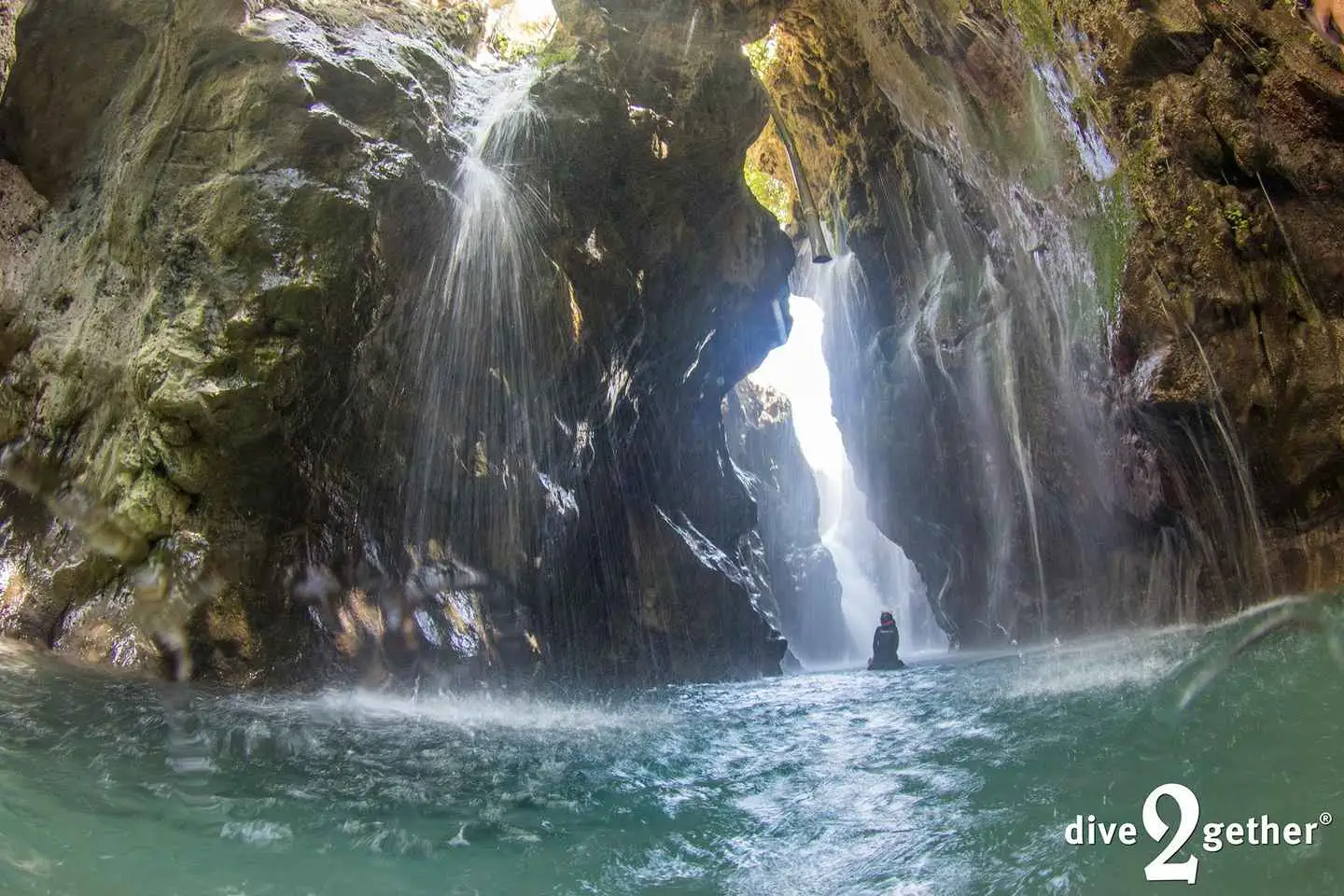
Join us for a unique experience to snorkel towards an all-year-round massive waterfall. Drinking water bursts out of the wall making this an incredible place to visit. In this experience we organize transport to the location, and we have a short hike to the water stream where it’s time to get wet. In the wetsuits we follow the stream upwards until a beautiful, but we mean, beautiful natural lagoon. From here we take the snorkels and swim further into the cave and reach the big waterfall.
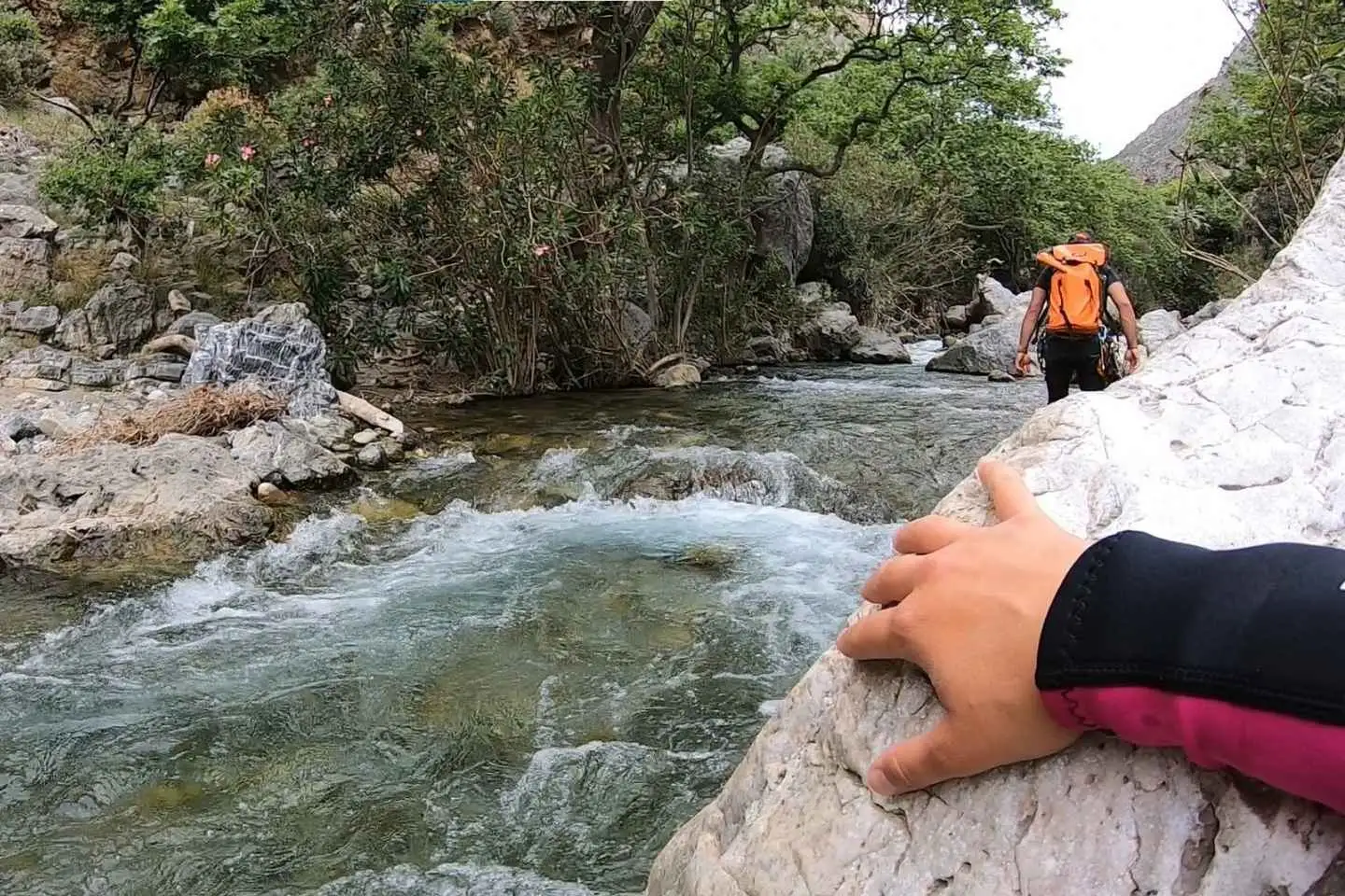
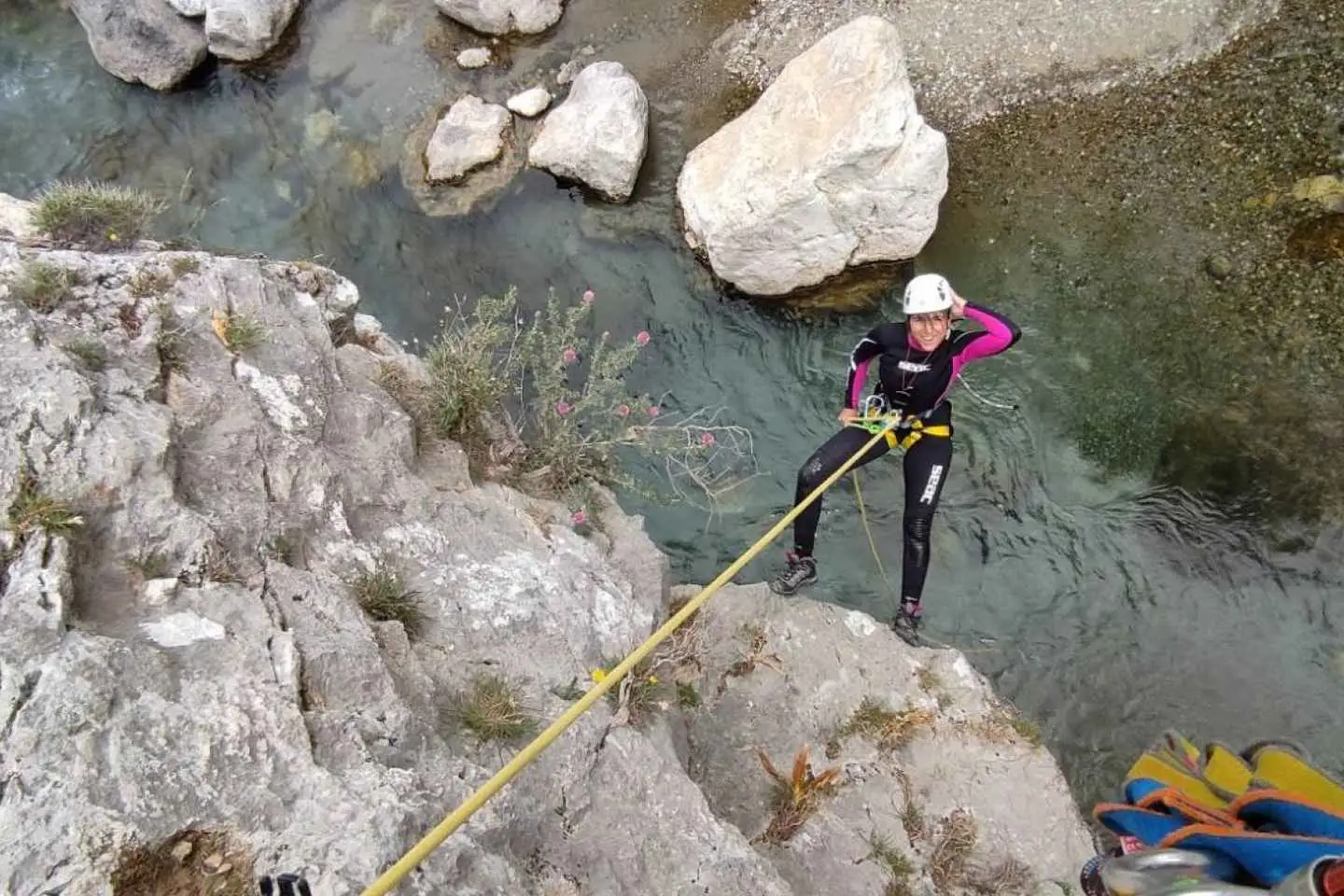

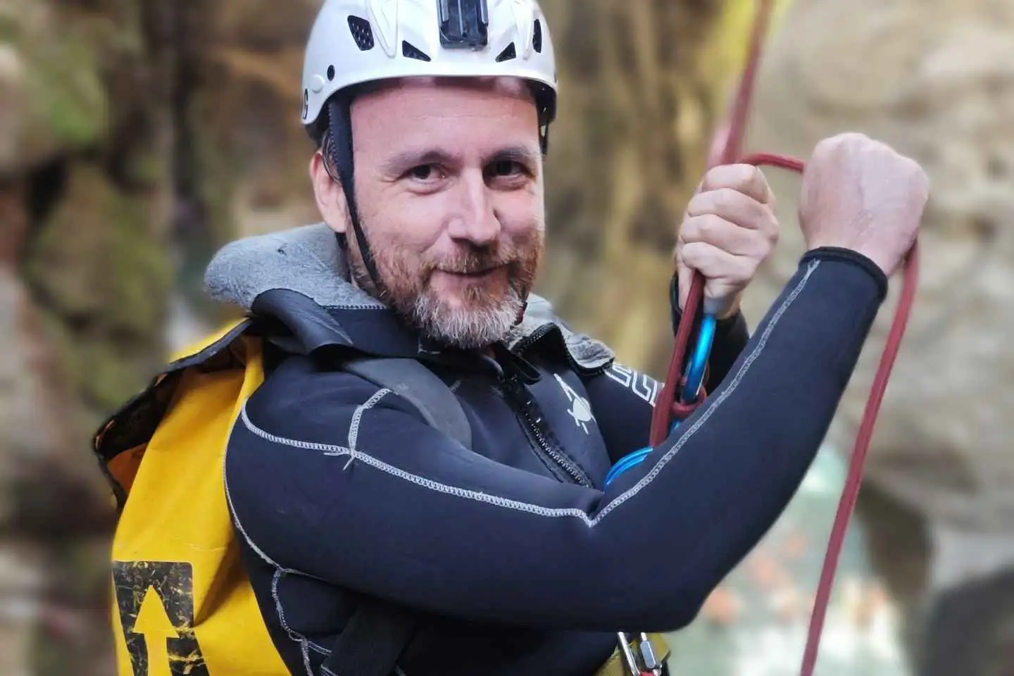
Preparation and gear briefing
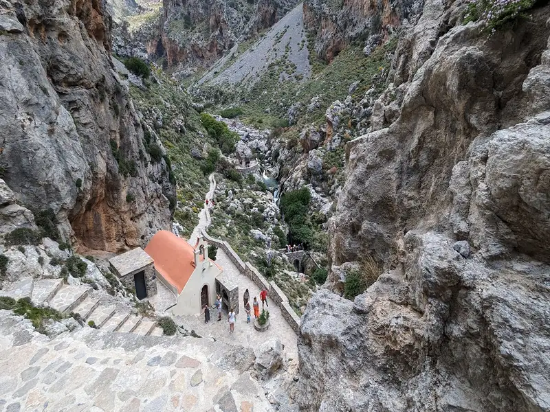
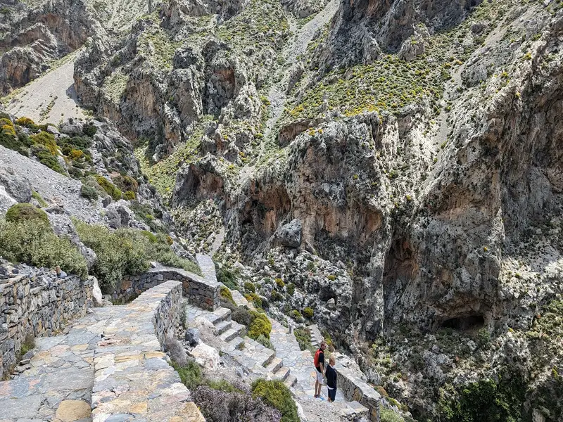
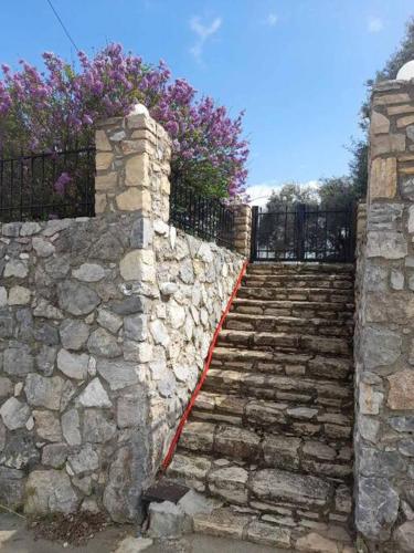
Arriving in the entrance of Kourtaliotiko gorge, we are immediately amazed by the majestic walls that stand hundreds of meters high. We take the stone steps that lead us to the source of the river that formed this scenery through the ages. There, we can visit the little church of S. Nicolas Kourtaliotis, the local saint that lived here as a hermit, and learn about the old myths of the gorge. We take some time to put on our neoprene suits and our personal gear, distributed by the team leaders. Then, the instructors will give a safety briefing so that we can understand the use of our gear and learn to trust it. Now we are ready to get the fun started!
Canyoning games in the river
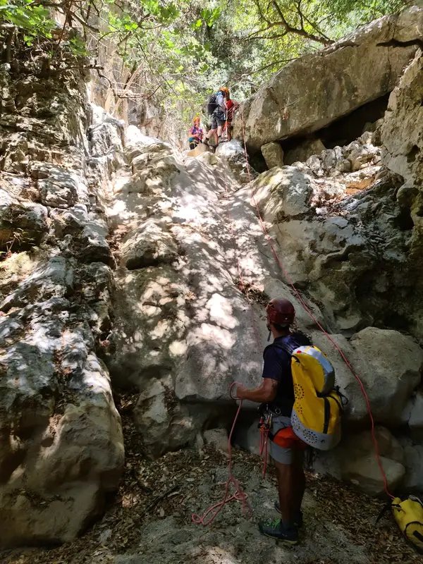
The source of Kourtaliotiko river becomes a natural playground for us! You are welcome to rappel down the steep canyon wall next to the waterfall and try adrenaline jumps in the water as many times as you wish. We swim around, we take pictures, and we play like kids. Our specialized instructors and guides will be next to you at all times to ensure your safety and guide you through the different activities.
Short river trek
Our adventure continues further down the river. Hiking towards the south, we soon discover a small cave called “the fairy cave” – if you are lucky enough, you may see one hiding behind the stalactites and stalagmites.
No results available
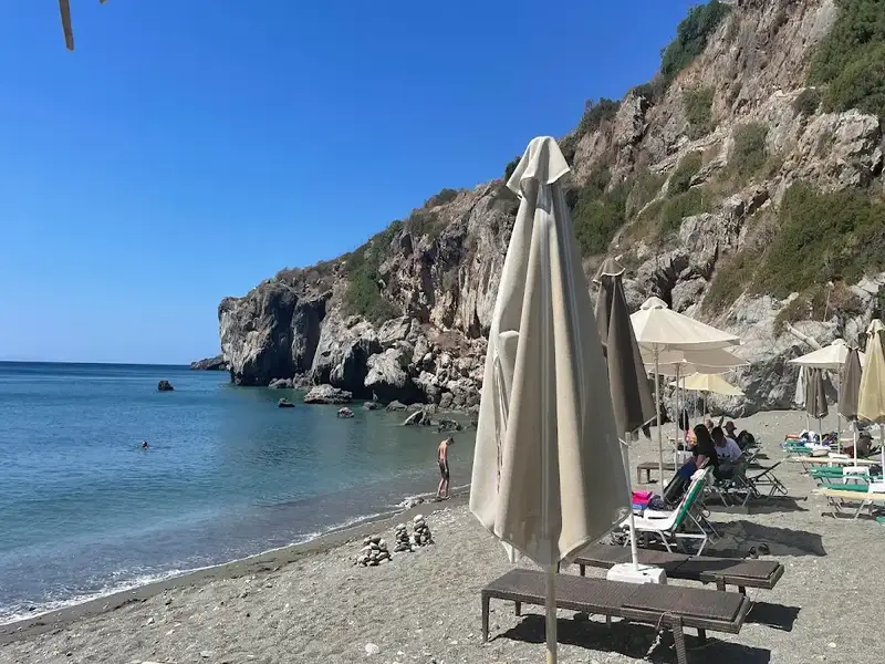
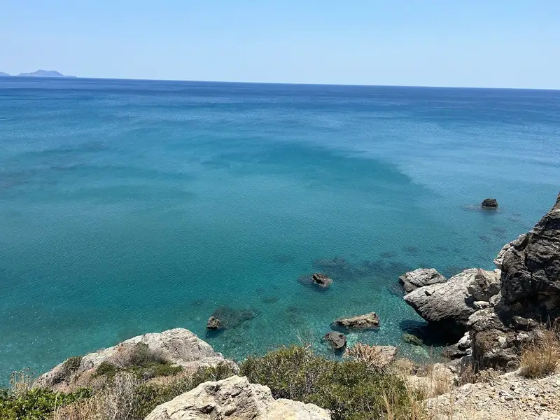
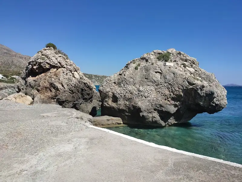
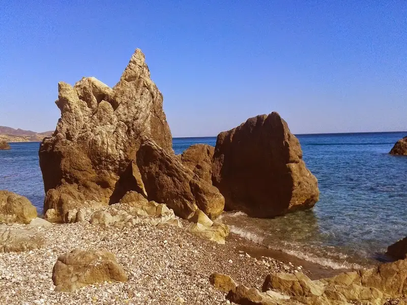
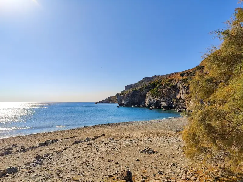
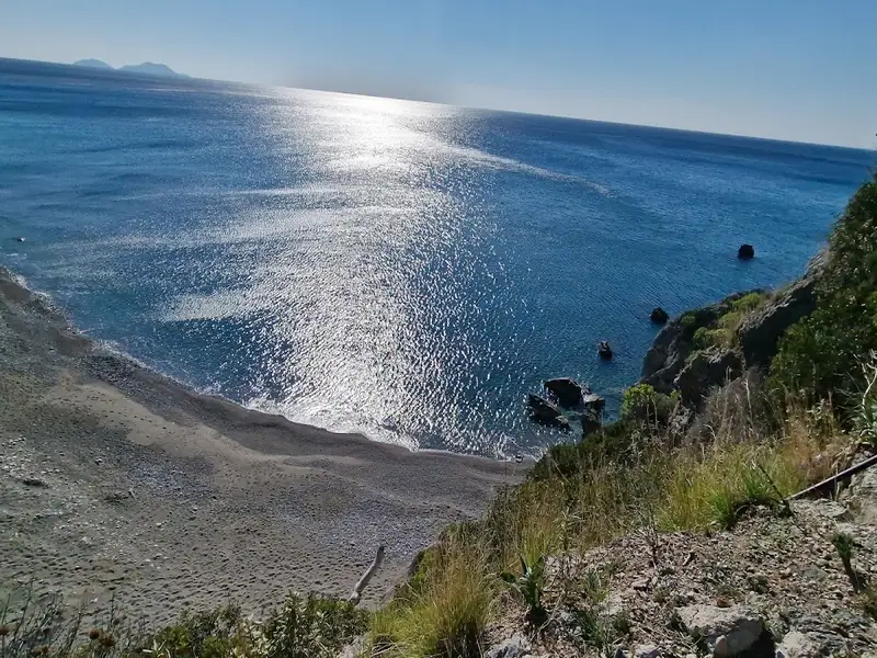
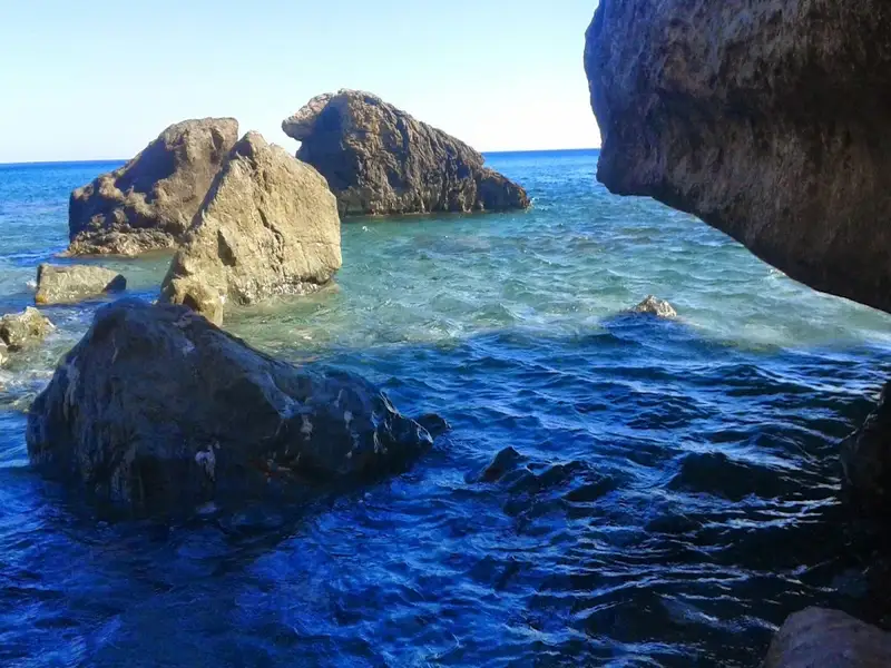
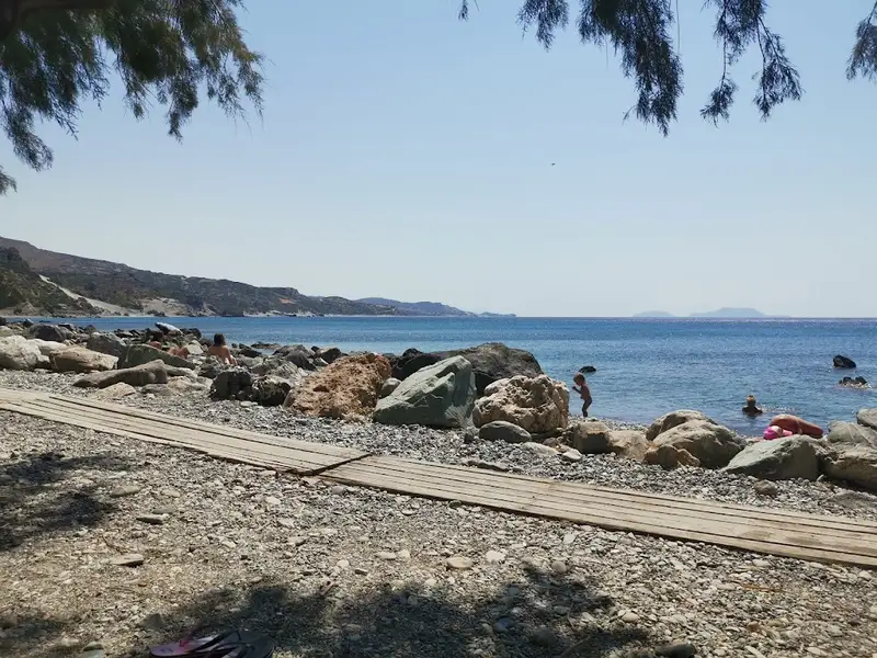
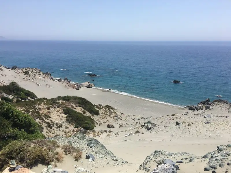
Beyond the charming village of Drymiskos, a sequence of coves unfurls into a series of beaches spanning 3 km, collectively known as Drymiskiani Gialia (Drymiskos Beach). Rocks and reefs segment these beaches, providing an exciting snorkelling experience. The area remains largely undiscovered due to its more challenging accessibility compared to other locations in the South Rethymnon prefecture. The most well-known section of Drymiskian Beach is Amoudi, the westernmost beach where the paved road from Preveli beach ends. Ammoudi serves as the starting point for a brief trail to Preveli beach, where most visitors park their cars.
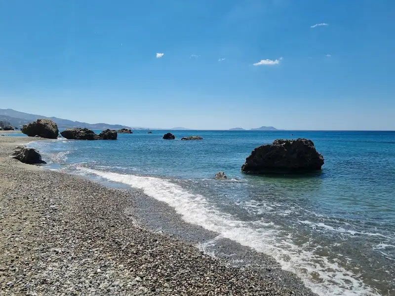
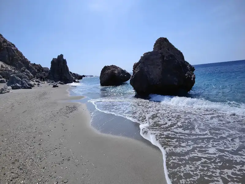
Venturing eastwards from Amoudi along the paved road, one can discover numerous serene sandy beaches, perfect for solitude and naturism. At the heart of Drymiskian Beach, Kefala’s beaches are marked by a distinctive black, tooth-like rock jutting from the sand. The best beaches in the area can be found on either side of this rock. Continuing further, one reaches the less crowded Anatolika beaches, also known as East, renowned for their deep, clear waters. From Anatolika, the journey can be extended to the Kerames beaches, the first of which is Gialopotama. While most beaches lack trees, large rocks provide ample shade throughout the day.
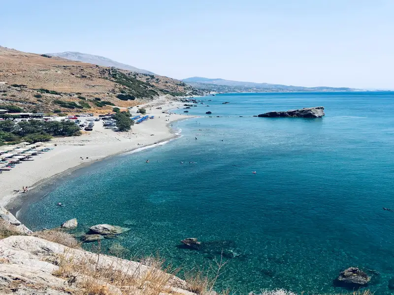
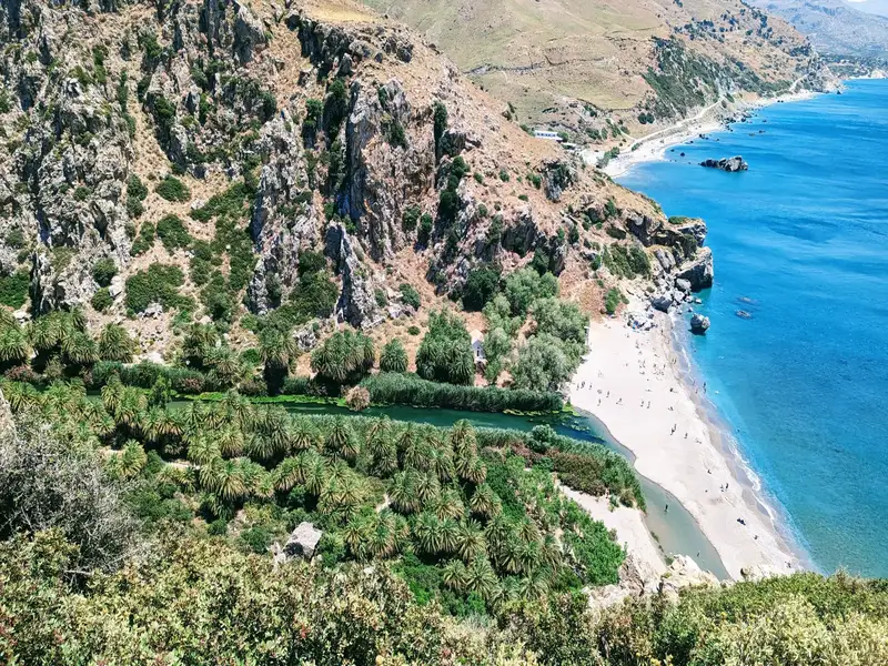
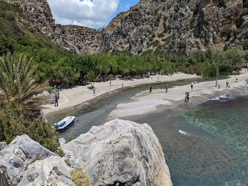
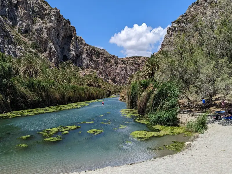
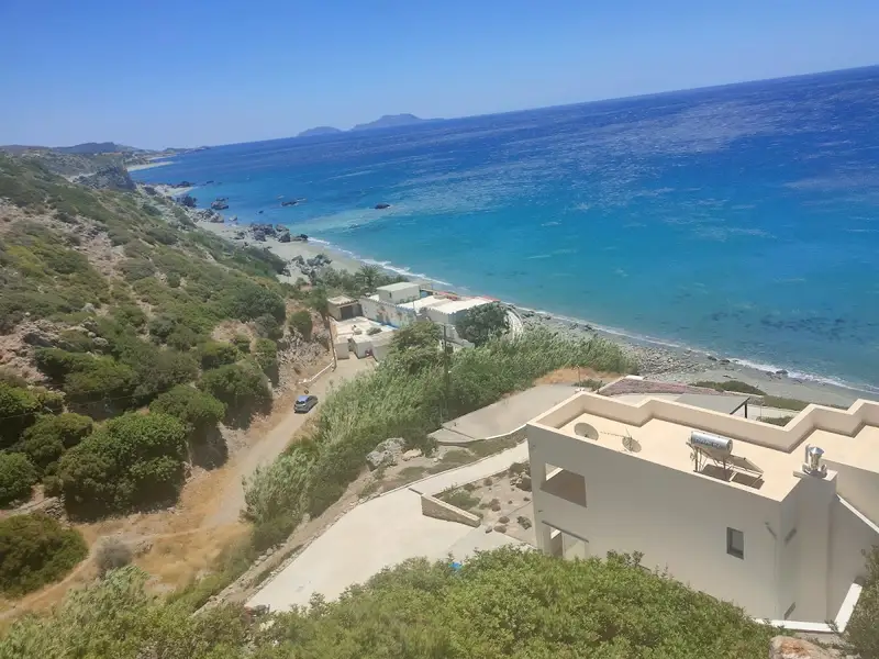
Preveli Beach is a palm-fringed beach and freshwater lagoon on the south coast of Crete, where the Megalos Potamos river meets the Libyan Sea at the mouth of the Kourtaliotiko gorge. It sits about 35 km south of Rethymno and 10 km east of Plakias, and is also known as Lake Preveli, Phoenix, or Finikas. Recognised as the most celebrated beach in southern Crete, it drew hippie travellers in the 1960s and 1970s and remains one of the island’s signature summer spots.
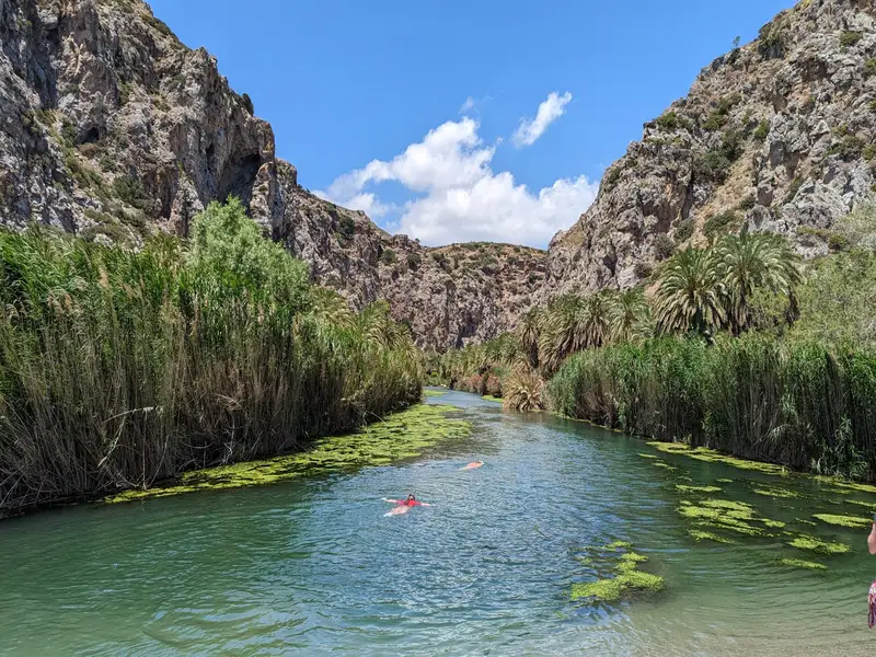
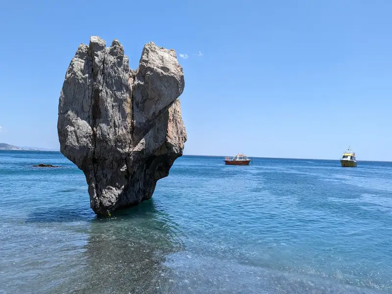
A colony of Theophrastus date palms (Phoenix theophrasti) lines the banks of the Megalos Potamos, one of the few natural palm forests in Europe. The river carries water all year and widens into a long lagoon before it reaches the sea, so the water stays fresh and cool. At the river mouth a beach of pebbles and sand meets the Libyan Sea, and the seawater runs cooler than usual because of the incoming river. A heart-shaped rock, known to locals as the Stone of Lovers, marks the eastern side of the beach.
In August 2010 a major fire burned most of the palm grove, destroying close to 70% of the forest. The Theophrastus palm proved unusually fire-resistant, and the grove regenerated over the following seasons. The beach stays unspoiled, with no umbrellas or built-up shoreline, because it lies within a protected Natura 2000 reserve.
To reach Preveli Beach, choose one of 3 routes, because there is no road directly to the sand and every option ends with a walk:
The stepped path on the west side is in full sun with no shade, and the climb back up is strenuous. Bring water, sun protection, and proper shoes, and set off early in the day. Renting a car is the simplest way to reach this part of the south coast; see car rental in Crete.
The beach has no sunbeds or umbrellas because the area is protected, though a small seasonal taverna near the river mouth serves drinks and snacks. The sand gives way to slippery rocks and stronger currents once you are in the sea, so take care when swimming. The river side is calm and shallow, and it is good for snorkelling.
A footpath follows the river upstream from the beach, winding through the palm grove to shallow pools where you can cool off when the water level allows. The trail leads into the Kourtaliotiko gorge and stays easy enough for families.
The quieter months of May, June, September, and October are the best time to visit, with warm weather and thinner crowds. Preveli is popular through July and August, so arrive early to find a parking space and beat the heat on the steps.
The beach takes its name from the nearby Preveli Monastery, a men-only monastery founded in the 16th or 17th century and dedicated to St John the Theologian. There are 2 monasteries in the area, the older Piso Monastery and the newer Kato Monastery, near the old Preveli stone bridge. According to local legend, Odysseus, king of Ithaca, stopped in the wider Preveli area on his way home from the Trojan War.
Yes. Preveli pairs a rare natural palm forest and a freshwater lagoon with a south-coast beach on the Libyan Sea, a combination you will not find at most Cretan beaches. It takes effort to reach, but the scenery and the river walk reward the trip.
Drive from Plakias towards Preveli Monastery, park at the cliff-top car park, and walk down the steps to the beach. For an easier approach, drive to Drimiskiano Amoudi and take the short 5-minute path, or take a boat from Agia Galini, Plakias, or Damnoni.
From the west car park, a long flight of steps leads to the beach in roughly 15 to 40 minutes each way, depending on your pace. The path is in full sun with no shade, so carry water and wear proper shoes. The east route from Drimiskiano Amoudi is a flat 5-minute walk.
Yes. There is a guarded car park on the cliff-top above the west side of the beach, and a small daily fee applies. A second car park serves the easier eastern approach from Drimiskiano Amoudi.
No. Because the area is a protected reserve, there are no sunbeds or umbrellas on the sand. A small seasonal taverna near the river mouth serves drinks and snacks.
The sea is blue and usually calm, but currents and waves can pick up, and the sandy shore turns to rock underfoot in the water. The river side is cooler and fresher, calm, and good for snorkelling.
May, June, September, and October are the calmest, with warm weather and fewer visitors. In the peak of July and August, arrive early for parking and shade.
Yes. A footpath follows the river upstream from the beach into the palm forest and gorge, leading to shallow pools you can dip in when the water level allows. It is an easy walk suited to families.
The quaint village of Kerames is situated 49km to the south of Rethymno, in close proximity to the village Agalianos. South of Kerames, there are numerous stunning beaches, with Ligres, Triopetra and Agios Pavlos sandhills of Akoumiani Gialia being the most well-known. To the north of Akoumiani Gialia, there is Keramiani Gialia or Kerames Beach, named after the nearby village.
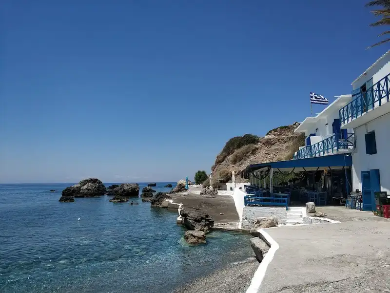
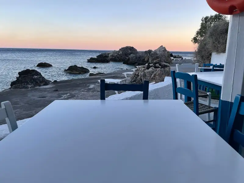
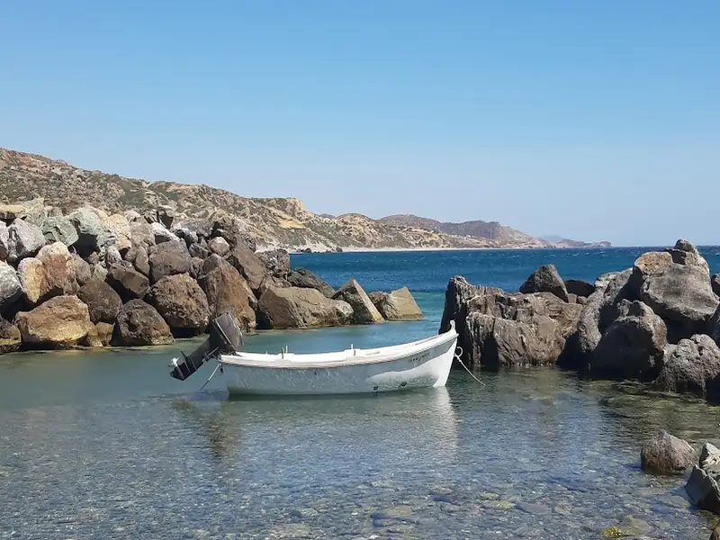
The narrow, poorly paved road leading to Keramiani Giulia ends near the local port of Agia Fotini, which is also known as Agia Fotia. This location is home to beautiful small pebble beaches, perfect for snorkelling and swimming, and is surrounded by large boulders. The traditional Stavros tavern is built on an old carob storehouse and serves fresh fish on the beach. It also offers accommodation, and has a reminiscent atmosphere of the Greek islands of the 1960s. The tavern provides free umbrellas and showers. Near Agia Fotia, there is a small river that forms a green forest. Following the path north along the river, you will encounter a tall palm tree and the old church of Agia Fotini, located near a small house with a lovely garden. A 5-minute walk west of the tavern along the rocky shore will lead you to another pebbly beach.
On the hill near Agia Fotini tavern, you can still see the remnants of the ancient town Kionia, which thrived in its heyday. Today, the ruins cover an area of over 150 meters east to west and 100 meters north to south, while the other half of the town is submerged underwater, in front of the tavern. Traces of buildings and terraces that suggest the existence of Kionia can be seen in the surrounding area. It is thought that the sinking of the town forced its inhabitants to leave and move to higher ground, where the villages Kerames and Agallianos now stand.
Kerames, a village situated 49km south of Rethymno, neighbors the village of Agalianos. It is surrounded by stunning beaches to its south, including the well-known beaches of Akoumiani Gialia, such as Ligres, Triopetra, and Agios Pavlos sandhills. Keramiani Giulia, or Keramean Beach, lies to the north of Akoumiani Gialia, its name derived from the nearby village.
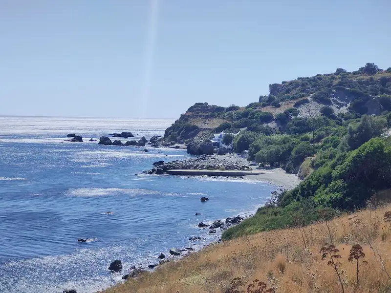
A somewhat dilapidated asphalt road leads to Keramiani Gialia, ending near the local harbour of Agia Fotini, also referred to as Agia Fotia. To the southeast of Agia Fotini, the primary beaches of Keramiani Gialia are located. A well-maintained dirt track from Agia Fotini leads to these beaches, the first being Podare. With its coarse sand and rocky areas, Podare is perfect for activities like fishing and snorkelling. Despite being an unorganized beach, it offers rental rooms for visitors.
After leaving Podare, a simple dirt road heads eastward, taking you past a large hill to a parking area situated near more rental rooms. Here, the road ends, and the beach on your right, Glima, begins. This sandy, secluded, and unorganized beach offers total privacy.
Continuing eastward on foot for about 100m, a towering sandhill becomes visible to your left. Pahia Ammos, or Coarse Sand, lies in front of the sandhill and provides an ideal spot for those seeking complete seclusion.
No results available
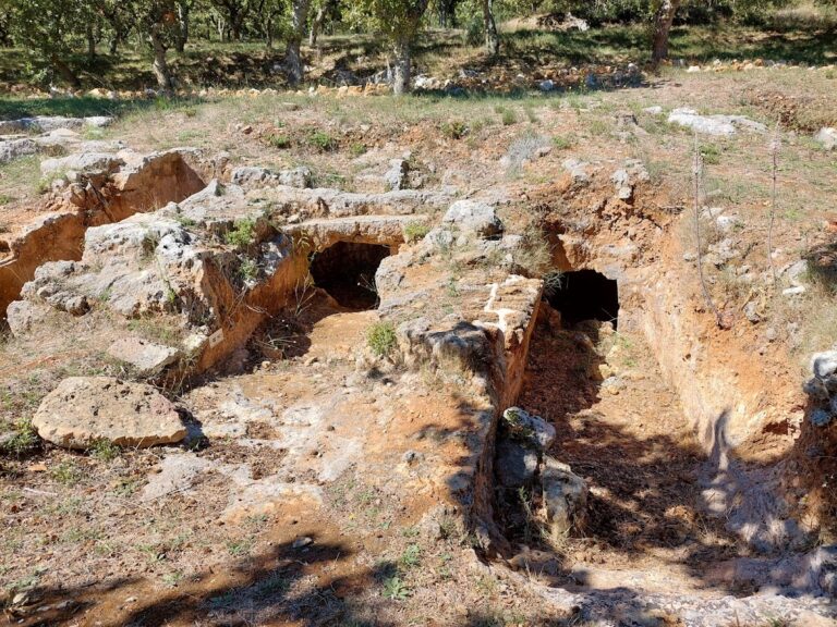
The Armeni Minoan necropolis is located 9km south of the town of Rethymnon, on the main road leading to the south coast of Crete. This significant Late Minoan III A-B (c. 1400-1200 BC) cemetery was found on a shallow hill called Prinokefalo, which translates to “hill of the wild oaks.”
Systematic excavations began in 1969, and by 2012, 231 tombs, including one tholos (domed grave), had been uncovered. A unique feature of the Armeni necropolis is that it initially had an overall plan, with specific areas designated for wealthy noblemen and the less fortunate. However, this plan was abandoned during the Late Minoan III B Period (1300-1200 BC), resulting in a mix of large and small tombs throughout the cemetery.
All the tombs were carved into the rock and consisted of a corridor and a chamber. The corridor was either a staircase or a ramp. Some tombs were left incomplete, with only a corridor and no burial chamber. The more affluent tombs had tombstones of varying sizes, with eleven found away from their original locations.
Each tomb likely represented a family group. Osteological (bone) analysis revealed that the average age at death for adult males and females was approximately 31 and 28 years, respectively. Most female deaths occurred between the ages of 20 and 25, likely due to the dangers of childbirth. Chemical analysis of bones indicated that the people buried at Armeni did not consume marine food, but their diet generally consisted of a fair amount of animal protein and plants. They suffered from various infectious and nutritional/metabolic diseases, as well as dental caries.
The primary discoveries in the tombs included clay larnakes, finely decorated pottery, bronze arms, utensils and ornaments, sealstones, and necklaces made from semi-precious stones. Among the most notable finds were a boar’s tusk helmet, a basket made of reeds and adorned with small bronze pins, a steatite pendant with Linear A script, and a stirrup jar with Linear B script (mentioning the name wi-na-jo).
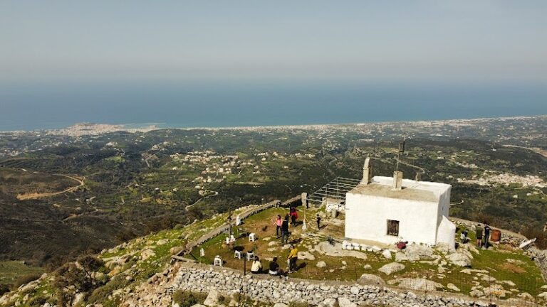
At the location of the chapel of Agio Pnevma (the Holy Spirit) on top of Mount Vrysinas, with an elevation of 858m, archaeologists have discovered what is likely the most significant Minoan Peak Sanctuary in West Crete, the peak sanctuary of Vrysinas. From this vantage point, one can see the northern coast of Rethymnon and the province of Agios Vasilios to the south.
Excavations at this open-air sanctuary have uncovered extremely important findings dating from 1900-1050 BC. The Minoans offered hundreds of zoomorphic and anthropomorphic clay offerings to their goddess. In 2011, a red steatite seal was discovered, engraved with the oldest known Minoan language, the hieroglyphic script. This is the only known example of this script in West Crete.
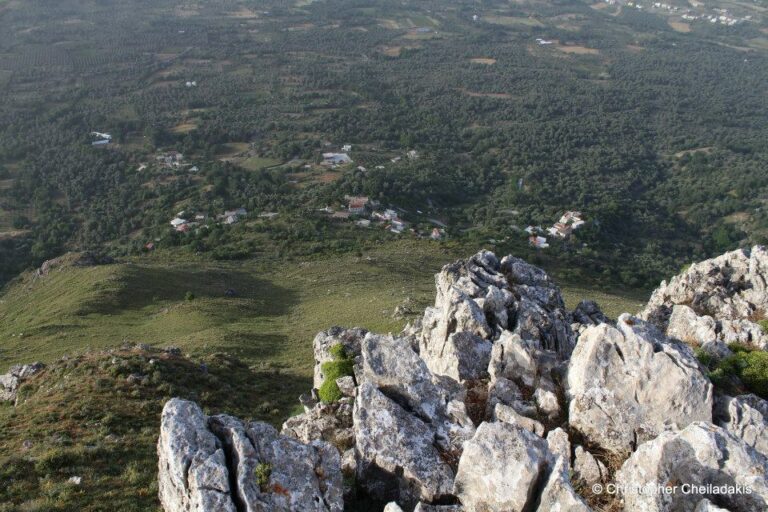
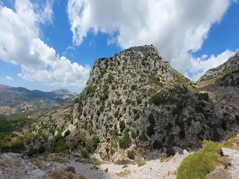
Above the Atsipades village in St Basil province, Rethymno, you can find a series of small peaks, with the highest being Kouroupa. The Kouroupa mountain range extends from west to east, separating the villages in the Agios Vassilios valley from the coastal settlements and creating a distinct climate. Kouroupa’s boundaries are well-defined, with two long and majestic canyons, Kourtaliotis and Kotsifos, marking its edges. Beyond Kouroupa’s peak, there are several smaller yet equally stunning peaks.
One of the most beautiful and unique peaks is Korakias, located just above Atsipades. The name Korakias means “the place with crows.” From a distance, Korakias appears impressive and peaky, with steep cliffs on each side and only the south side being easily accessible. This imposing, fortress-like location was chosen by the ancient Minoans as a peak sanctuary. Korakias was identified as a peak sanctuary in 1985, and its discovery has been announced in academic journals on several occasions. In 1989, Dr. Alan Peatfield excavated this peak sanctuary on behalf of the British School at Athens, and numerous papers have been published since then. A few artifacts from Korakias can be viewed at the Archaeological Museum in Rethymnon.
Unfortunately, there are no signs explaining the area’s history or providing directions to the site. Korakias can be reached via a rough dirt road starting from Atsipades, but the numerous side-streets can make identifying the peak difficult. However, the view from the peak sanctuary is breathtaking and stretches for several kilometers.
No results available
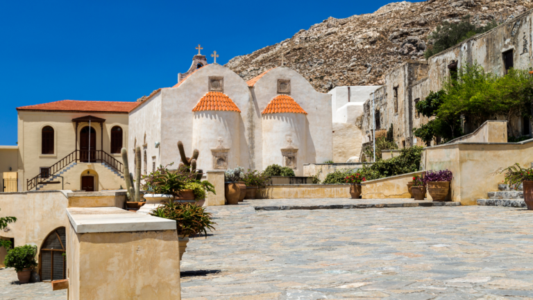
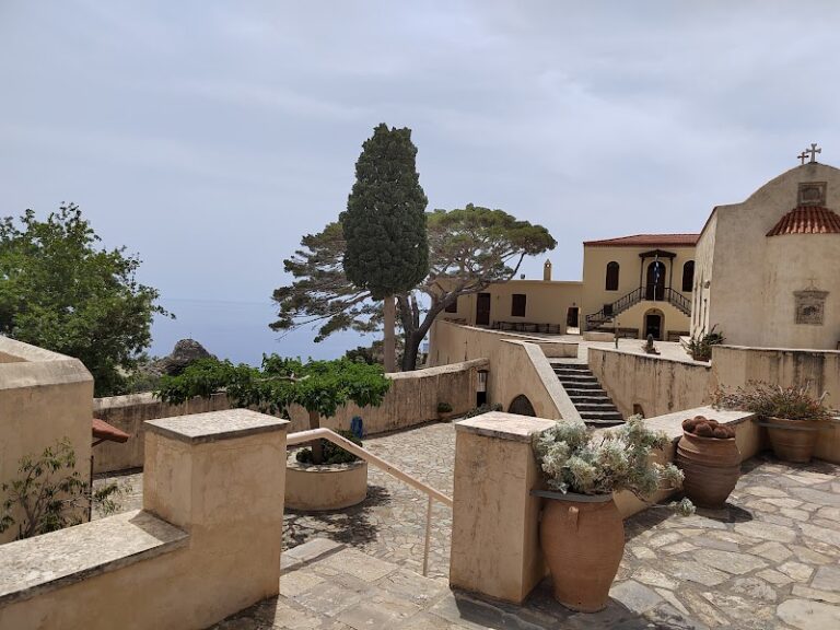
Preveli Monastery (also known as Prevelis Monastery) can be found 37km south of Rethymnon, nestled in a stunning natural landscape on the western slopes of Megalos Potamos (the end of Kourtaliotiko Gorge) and the nearby palm grove. The monastery complex consists of two separate monasteries situated 1.7km apart: the Kato (Lower) Monastery of Agios Ioannis Prodromos and the Piso (Back) Monastery of Agios Ioannis Theologos.
When approaching from Rethymnon, visitors first encounter the Kato Monastery of Agios Ioannis Prodomos (St. John the Baptist), which now lies in ruins. It is situated near the Megalos Potamos river and the region’s arched bridge. The monastery features an irregular arrangement of buildings centered around a courtyard, with the church of Saint John the Baptist at its heart. Surrounding the church are various structures that once housed the dining room, kitchen, abbot’s quarters, monks’ cells, an olive oil press, and storage rooms. The monastery was once in use year-round, as the surrounding land was ideal for cultivation and agriculture. However, it was eventually abandoned after being repeatedly destroyed and plundered by different conquerors of Crete.
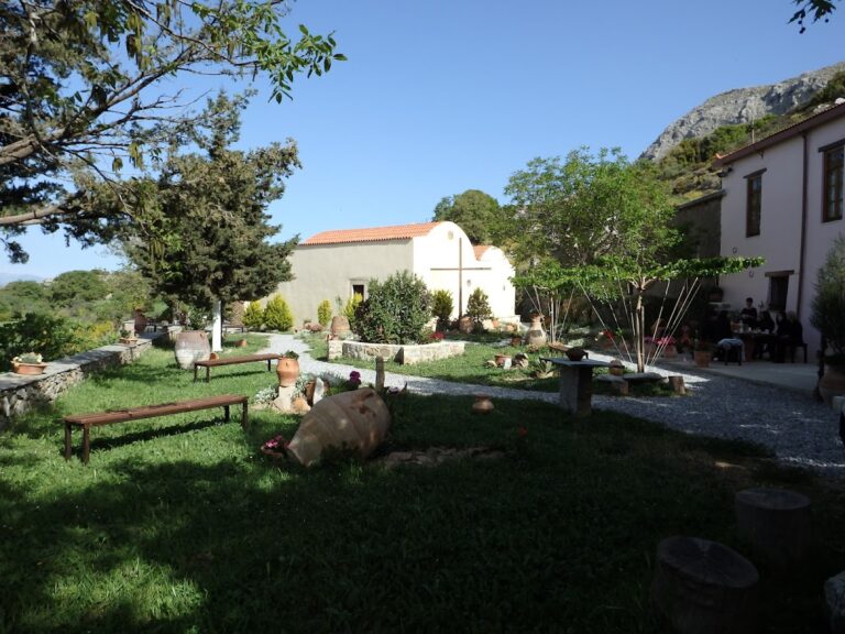
The Agio Pnevma (Holy Spirit) Monastery likely dates back to the 12th century and had already achieved autonomy and prosperity by the end of Venetian rule. Tragically, on June 15, 1821, local Turks slaughtered the monks and set fire to the monastery.
Subsequently, the damaged monastery became a subsidiary of the Preveli Monastery, and by 1836 it functioned as a widely known school throughout Crete and Gavdos, drawing thousands of students from all over the island.
In the present day, the monastery is home to a monument dedicated to the 200 volunteers led by Demetrios Petropoulakis, who lost their lives in a battle against the Turks on December 5, 1868. The monastery has since been restored and has resumed operations.
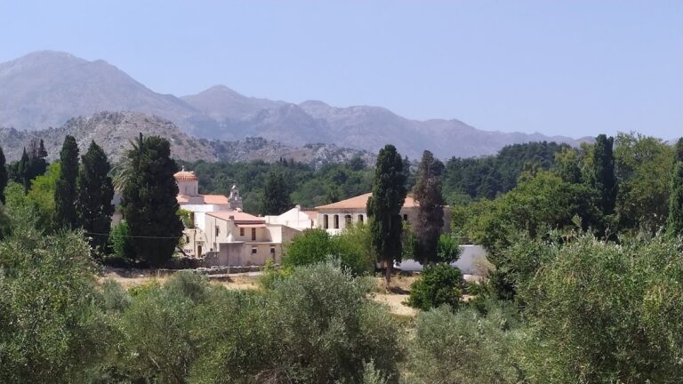
The Profitis Elias Monastery, situated on a hill with sweeping views 20km south of Rethymno and adjacent to Roustika village, is a relatively lesser-known monastery in Crete. Founded during the Venetian Era, it is among the island’s most historic convents.
Throughout its history, the monastery was repeatedly destroyed by the Ottomans, with the last instance occurring during the 1866 revolution. The monastery played an active role in the resistance against Turkish rule. Consequently, the monastery’s buildings, aside from the temple, were constructed in their present form after 1866. Additionally, Profitis Ilias made a significant contribution to preserving Cretan history by housing the Historical Archive of Crete during the German Occupation.
The monastery features a fortress-like architectural design. At the center of the courtyard, visitors will find a three-aisled basilica with a dome dedicated to Prophet Elijah (celebrated on July 20), the Holy Trinity, and Agia Zoni (August 31). The belfry of the monastery, along with that of Arkadi Monastery, are the only surviving Venetian bell towers in Crete. Surrounding the courtyard are the two-story monks’ cells, an incomplete guest house, and the refectory.
Within the temple, visitors can admire the ancient wooden iconostasis, the throne (dated 1843), and the pulpit. Additionally, numerous relics are housed in the sanctuary, including sacred vessels, vestments, gospels, crosses, relics of various saints, a brocade epitaph, old books (dating back to 1640), and manuscripts (from 1620).
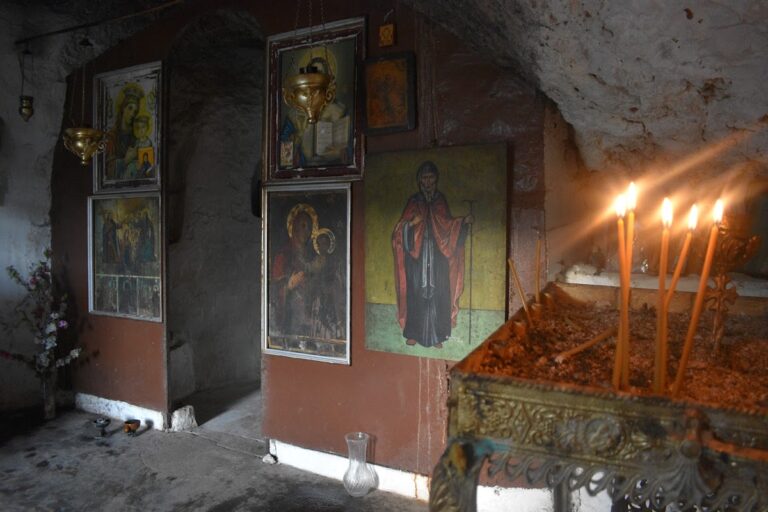
Located at Katevati, 6 km from Akoumia village and at an altitude of 525m, the Holy Monastery of St. Anthony (Agios Antonios) can be reached by a 15-minute car drive on a dirt road from Akoumia.
Constructed after liberation from the Germans in 1945, the monastery was rebuilt by Theodosius Damvakerakis, who spent around 50 years living as a hermit in the area. Until 1974, the location was home to a small chapel. The current monastic complex, complete with temples, monk cells, a courtyard, and ancillary areas, was established by Father Theodosius. Situated on his property at Katevati, the monastery houses the churches of Saint Anthony, Saint Nektarios, and Panagia (Virgin Mary). The most recent addition, the church of Saint Nektarios, features a massive icon representing all Saints. Meanwhile, the church of Panagia, built within a rock, contains the “Unwithering Rose” icon. The monastery’s celebration takes place on January 17.
No results available
No results available
No results available
No results available
No results available
Approximately 1 km to the east of Spili, in the Agios Vassilios province, you’ll find the church of Agia Fotini, also known as Saint Photini. Like many places in Crete, it’s often referred to as Agia Fotia. Situated on the main road leading to Agia Galini, the church is adjacent to a spring that flows with water throughout the year. Nearby, you’ll see a large, old watermill. This area marks the end of the picturesque Agia Fotia gorge, which is small but incredibly lush.
The gorge begins at the Gious Kambos plateau, which is 750m above sea level, and concludes at the spring, which sits at an altitude of 500m, after a 1.5km journey.
Close to the gorge’s starting point, you’ll discover waterfalls of unparalleled beauty. In the springtime, these falls are abundant with water, creating a unique and breathtaking landscape filled with plane trees. The easiest way to reach the waterfalls is by walking from the spring along the gorge. Alternatively, you can access them from Gious Kambos, though this route is more challenging. It requires bypassing the waterfalls from the sides and descending the steep slope to the riverbed.
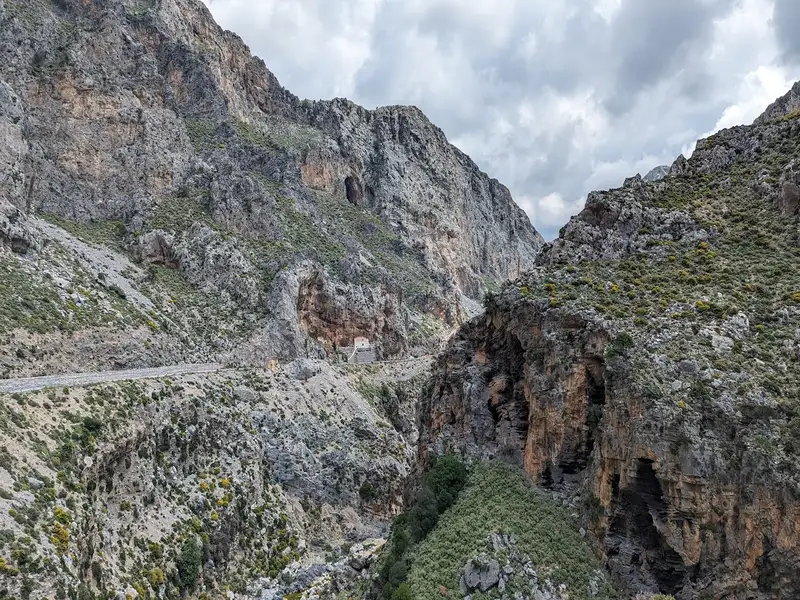
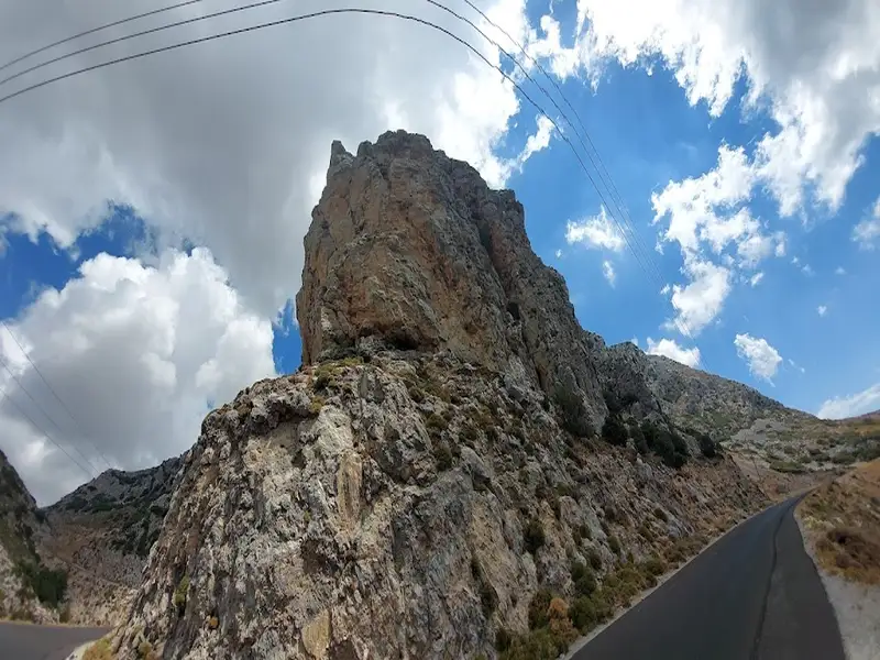
Kourtaliotiko Gorge is a hiking gorge 22km south of Rethymno, Crete, Greece, known for its waterfall, its year-round springs, and the chapel of Agios Nikolaos at the base of the cliffs. Kourtaliotiko Gorge runs for 3km between the Kouroupa and Koules mountains, and a paved road cuts through the canyon so you can reach the main viewpoints and the trailhead without a long approach. This guide covers what the gorge is, the waterfall and chapel, how to get there and park, the difficulty, what to see, and the tips worth knowing before you go.
Located just 1km north of Kissos village in Agios Vasilios province and 34km southeast of Rethymnon, Kissano Gorge serves as a link between Kambos Kissou settlement and the small Gious Kambos plateau. The gorge’s river is a primary tributary of the Gorge Frati. The canyon, though not lush with vegetation, boasts small waterfalls, the tallest of which measure between 5-7m. These waterfalls make it an ideal location for canyoning, but it’s also possible to bypass them carefully from the sides without any specialized equipment.
The journey begins at the Gious Kambos plateau, a small haven of diverse flora. A 0 to 30-minute walk along or beside the riverbed leads you to a point where the river intersects the road connecting Kissos with Gerakari. Here, you’ll find a striking reddish rock peppered with numerous caverns known as Kokkinos Detis, leading locals to also refer to this area as the Kokkinos Detis Gorge.
While this marks the end of the main part of the canyon, the river continues its descent, creating more small waterfalls. It then passes through the 60-hectare artificial pine forest of Vatolakki, before continuing towards Spili and eventually to Frati.
Kakoperatos Canyon, situated near the village of Agios Vasilios in the province of the same name, is a tributary of the Megalos River (Kourtaliotis). Its name, which translates to “bad passage” in Greek, indicates the necessity of technical equipment for human access. This stunningly scenic and rugged canyon is perfect for canyoning. It is endowed with water for most of the year and features 7-8 remarkable waterfalls. These create deep ponds filled with clear turquoise waters, making them ideal for jumping.
It’s likely that no other canyon in Crete boasts such vibrant turquoise waters. The canyon’s exit is located adjacent to the last residences of Agios Vasilios, with its stream flowing through the village courtyards!
No results available
Boasting garden views, Maison PORTOKALIA features accommodation with a balcony and a kettle, around 23 km from Archaeological Museum of Rethymno. This property offers access to a terrace, free private parking and free WiFi.
The holiday home consists of 2 bedrooms, a living room, a fully equipped kitchen with a dishwasher and a coffee machine, and 2 bathrooms with a hot tub and a hair dryer.
Museum of Ancient Eleftherna is 37 km from the holiday home, while Psiloritis National Park is 37 km from the property. The nearest airport is Chania International Airport, 91 km from Maison PORTOKALIA.
from
€85
/night
Eolides Villas, Quite Idyll of Rural Bliss, By ThinkVilla has mountain views, free WiFi and free private parking, situated in Lambiní, 24 km from Archaeological Museum of Rethymno.
Each unit features a terrace, a fully equipped kitchen with a dishwasher, a fireplace, a seating area, a flat-screen TV, a washing machine, and a private bathroom with shower and a hair dryer. An oven, a microwave and toaster are also available, as well as a coffee machine and a kettle.
The villa offers a picnic area.
Both a bicycle rental service and a car rental service are available at Eolides Villas, Quite Idyll of Rural Bliss, By ThinkVilla, while hiking can be enjoyed nearby.
Museum of Ancient Eleftherna is 37 km from the accommodation, while Psiloritis National Park is 38 km from the property. The nearest airport is Chania International, 91 km from Eolides Villas, Quite Idyll of Rural Bliss, By ThinkVilla, and the property offers a paid airport shuttle service.
from
€177
/night
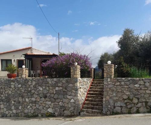
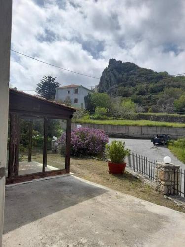
Boasting garden views, Το σπιτάκι στη Μουρνέ offers accommodation with a patio and a kettle, around 25 km from Archaeological Museum of Rethymno. The air-conditioned accommodation is 37 km from Museum of Ancient Eleftherna.
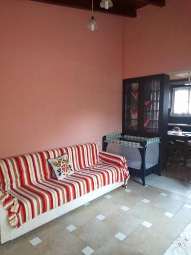
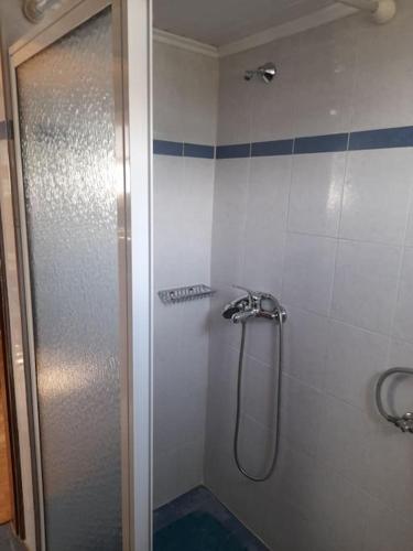
The apartment with a terrace and mountain views has 1 bedroom, a living room, a flat-screen TV, an equipped kitchenette with an oven and a toaster, and 1 bathroom with a shower. Towels and bed linen are offered in the apartment.
Guests can relax in the garden at the property.
Psiloritis National Park is 37 km from the apartment, while Municipal Garden is 25 km from the property. The nearest airport is Chania International Airport, 93 km from Το σπιτάκι στη Μουρνέ.
from
€51
/night
Set amidst lush greenery, the stone-built Villa Elia is located in Lambini Village of Rethymno, right next to a small lake. It offers self-catering accommodation with mountain views. A grove and a small children playground is available on site.
The house consists of 2 bedrooms, a living room and a fully equipped kitchen with dining area. It also includes 2 bathrooms with bath or shower, hairdryer and free toiletries. A flat-screen TV is available.
Traditional House Mandarina is 20 km from Rethymno Town, while Spili Village is 4 km away, Preveli Monastery and the seaside Plakias Village are 18 km away.
No results available
Connect with thousands of Crete visitors and boost your bookings.
No results available
© All rights reserved. Crete Locals