The verdant Boriano canyon, more commonly referred to as Karanou Gorge, begins in the Boriana neighborhood of Karanou village and extends for 1800 meters until it merges with the Mavropiliotis River via an attractively laid out path. The trail features a dilapidated watermill, caves, and the entrances to the old iron ore quarries (locally referred to as the Averof quarries), along with a charcoal furnace and tunnels. The gorge runs parallel to the Kydoni Gorge, and it’s common for hikers to explore both gorges simultaneously.
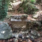
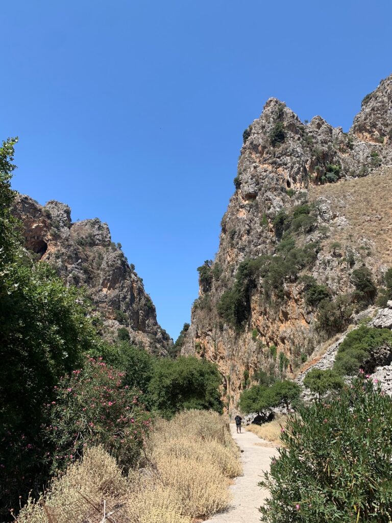
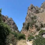
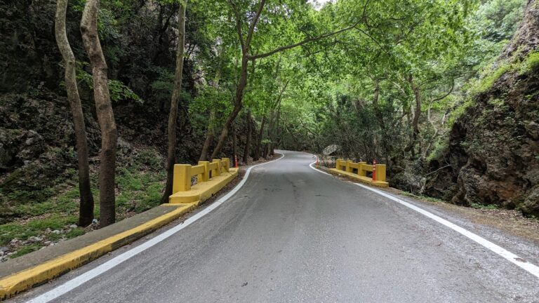
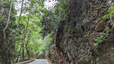
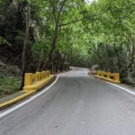
In the mountainous region of Kydonia near Chania, nestled at the base of the White Mountains, you’ll find the picturesque Kydoni gorge. Named after the area, not the Greek word for “quince” which is also kydoni, this gorge is one of the most verdant in Crete, boasting lush vegetation with trees towering over twenty meters high. The journey begins in the village of Karanou, starting at the site of an ancient fountain. A downhill path takes you through a breathtaking centuries-old olive grove, past the church of Saint Demetrius (Agios Dimitrios) with its remnants of old frescoes, and finally to the stream bed. The greenery is abundant throughout the gorge, with sunlight only filtering through in a few places, making it a perfect spot for a cool walk on a hot, sunny day.
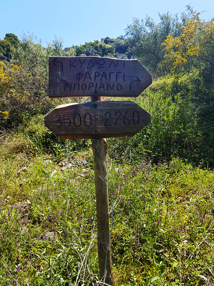
The trail that traverses the gorge is one of the most well-marked in Crete, with signs posted every 500 meters indicating the distance. The entire route is 2 km long, ending where the Kydoni stream meets the Platanias river tributary, Mavropiliotis, in the Mavra Pila area. The name Mavra Pila translates to “dark muddy soil” in the Cretan dialect, a fitting description for the blackish soil that turns into black mud when wet.
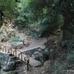
The trail continues from the end of the Kydoni gorge into the Boriano gorge, which runs parallel to Kydoni and originates from the Boriana neighborhood in Karanou. The Kydoni stream is typically dry throughout the year, only filling with water during the heavy rains of winter. Along the route, there are 2-3 small waterfalls, with the tallest one crossed by a charming wooden bridge that leads to a rock shelter adorned with small stalactites. The descent through Kydoni takes about an hour of hiking. Towards the bottom of the gorge, you’ll find two old trails leading to the nearby settlement of Skordalou.
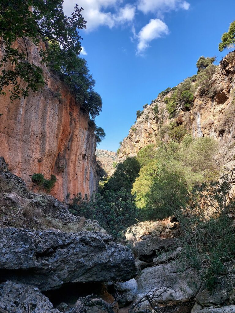
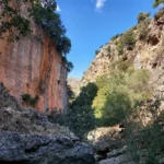
The Rocca, Roka, Rocka, or Rokka Gorge, situated 32km west of Chania in the Kolymbari region, stretches for 2km from the village of Deliana to the village of Roka. The settlement features Trouli hill, which is home to the remnants of a Byzantine fortress.
Despite the ease of hiking through the gorge (typically a 2-hour trek), it can be challenging to traverse without getting wet during periods of water flow in the narrower sections. The gorge is adorned with numerous plane trees that provide a cool respite from the sun. The gorge’s vertical sides are incredibly tall and impressive at certain points. The main path follows the dry riverbed during the summer.
Upon exiting Roka gorge, you’ll encounter the Mesonisi settlement. Following a dirt road will lead you to Roka village and Trouli hill. You can climb up to the castle ruins for a breathtaking view of the surrounding areas, or unwind in the local coffee shop.
Positioned near the city of Chania, the Therisso Gorge (also known as Eleftherios Venizelos) is an awe-inspiring sight. This six-kilometre-long canyon is adorned with impressive vertical cliffs and lush greenery, rivalling any other gorge in the Chania region. Accessible by car, it’s worth combining a trip to the gorge with a visit to the historic village of Therisso, nestled at the foot of the White Mountains, just 15 kilometres from Chania. This village, steeped in history, offers an unforgettable experience to any visitor.
With a population of just over 100, the valiant village of Therisso has held a significant role in Crete’s modern history, mainly due to the resilience of its inhabitants against Turkish invasions. In 1866, the village was burnt by Mustapha Pasha Naili, forcing many, including the mother of future Greek Prime Minister, Eleftherios Venizelos, to relocate to Kythera and the Peloponnese. Therisso gained further historical prominence in 1905 when Eleftherios Venizelos and his allies initiated a revolution against the autocratic rule of Prince George, imposed by the Great Powers, charting a course for Crete’s union with Greece. Notably, the heroic Halides brothers, key figures in the 1821 revolution, also hailed from Therisso.
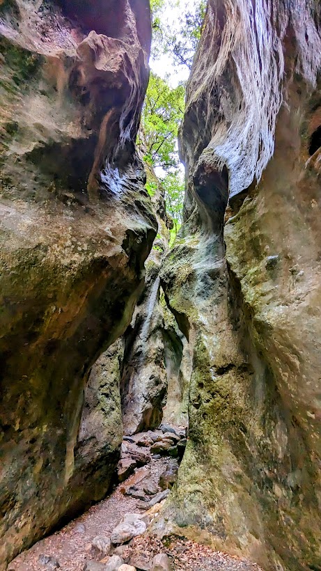
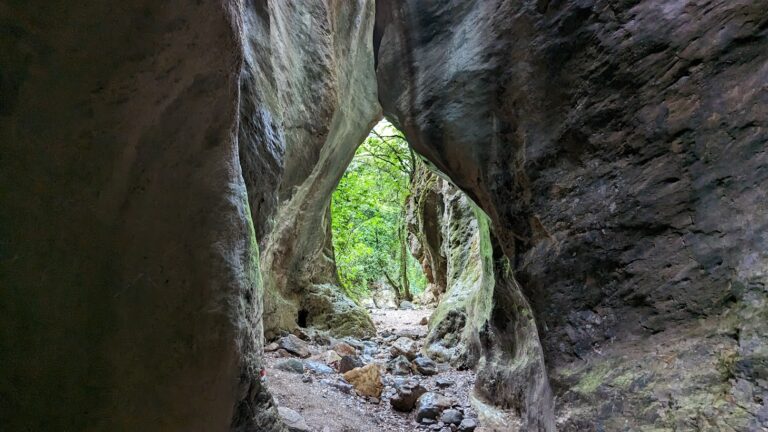
Situated close to the village of Meskla, 20 km away from Chania town and nestled at the foot of the White Mountains, you’ll find the impressive yet compact Sarakina Gorge (be careful not to mix it up with the other well-known Sarakina Gorge in East Crete, near Mythi in the Province of Ierapetra). The gorge takes its name from local lore that suggests Saracenes once used it as a hiding place. The gorge’s somewhat elusive location keeps it off the beaten track for many locals, maintaining its status as an untouched, natural spectacle.
Hidden within a deep ravine, Sarakina is bordered by towering cypress and plane trees. In an effort to make this natural gem more accessible, local authorities have developed walking trails throughout the gorge. Starting and ending in Meskla, next to the Church of the Panagia, where you find the parking space. The circular trail offers an hour’s worth of easy hiking. The journey commences with a ten-minute walk on a dirt road which then leads to a path alongside the river.
The trail is interspersed with wooden and stone staircases and metal walkways crossing the river. After the first segment, the landscape transforms drastically, transitioning from a gravel bed to solid limestone boulders. The resulting view is an awe-inspiring natural artwork as the rock appears split down the middle, carving out a breathtaking sculpture.
The Cyclamen Gorge, also known as Agios Georgios Gorge or Gorge Vandes, is nestled on the northern slopes of the White Mountains. Its starting point is the Aletrouvari settlement, situated at an altitude of 300m, and it extends east of Agios Georgios village, ultimately ending at the village of Vandes, which is at an elevation of 50m. The stream that runs through this gorge gathers water from the Drakona area, resulting in the formation of quaint, small ponds at certain spots.
However, this route is not recommended for novice hikers as it requires approximately 2 hours to traverse from Aletrouvari or about 1 hour from Agios Georgios. As visitors journey through this route, they will encounter a diverse landscape that changes along the river, all under the cool shade of towering plane trees and cypresses.


