Beaches near Stavrochóri, in Lassithi region

Here is list of closest beaches to Stavrochóri

  • 5.0 km
  • Koutsouras beaches
  • Fine Pebbles
  • Normal
  • Blue

Situated 55km southeast of Agios Nikolaos and 20km east of Ierapetra, Koutsouras lies on the primary road between Ierapetra and Makrigialos. This coastal village is nestled in a valley surrounded by pine trees, greenhouses, and olive groves, resting on the southern slopes of Mount Thripti. Despite being equipped with a police station, pharmacy, clinic, hotels, restaurants, supermarkets, and more, Koutsouras maintains a serene atmosphere.

The village is bordered by beaches featuring coarse black sand and tranquil waters. The primary beach, located to the west of the village and adjacent to the old settlement, is well-maintained and dotted with tamarisk trees for shade. A secluded pebble beach near the village harbor offers a quieter option, situated 1.5km west next to the Apiganias woodland. Additionally, the family-friendly Koutsourelis beach, boasting sandy shores, lies 1km east of Koutsouras.

Sights to See

Koutsouras’ surrounding region, a heavenly landscape of Eastern Crete, is worth exploring. The southern slopes of Thripti are blanketed by a lush pine forest, providing an oasis in Lasithi’s arid landscape. Despite significant damage from a 1993 fire, the forest has gradually regenerated. The Apiganias park, 1.5km west of the village, offers a glimpse of the pine trees and also hosts cultural events. This park also marks the end of the Red Butterflies gorge, a unique canyon filled with pine trees and fresh water springs. For a complete experience, consider visiting the village Orino on Mount Thripti, which marks the starting point of the gorge.

  • 5.2 km
  • Maheridia beaches
  • Fine Pebbles
  • Deep
  • Blue

The beaches of Maheridia by Koutsouras village are a series of three different beaches with high cliffs. These beaches are all beautiful with crystal clear water and are only accessible by boat. The only one that can be accessed from the coast is the last beach to the east, accessed through two different trails hidden in the dense piney wood. The beach is only a few meters east of the well-known woods Apiganias at Koutsouras, in an area with many pine trees.

From the main road, a very short dirt road descends to the parking area where we meet a cluster of high pine trees. From here we have beautiful panoramic views of the eastern bay of Maheridia. Maheridia is a favourite destination for locals and you will very rarely see tourists. The picturesque bays are sandy and pebbly with some scattered rocks in places. The east bay at Maheridi is calm and windless almost all the time, being ideal for families with children.

The area is full of water springs, especially in winter and spring water gushes from everywhere and after a short distance reaches the sea. At some point the water is gathered, so one can see running water even in the dry summer months.

  • 5.4 km
  • Kalamokanias beach
  • Fine Pebbles
  • Normal
  • Blue

Situated on the western side of the Makrigialos settlement, Kalamokanias is 57km southeast of Agios Nikolaos and 22km east of Ierapetra. It rests on the western flank of Katovigli hill, which towers over the harbour area. The area is named Kalamokanias after the migratory stilt bird (Himantopus himantopus) – a red-legged creature resembling a miniature stork that frequents local streams.

The beach at Kalamokanias is tranquil, featuring coarse black sand that doesn’t cling to the skin. While not extensively developed, it offers some amenities including tamarisk trees for shade and a few taverns and rental rooms. Mainly frequented by locals, it provides a respite from the more tourist-heavy beach of Makrigialos.

To reach Kalamokanias from Ierapetra, make a right turn toward the sea just 100m before entering Makrigialos. Additionally, a coastal road links the beach with the local harbour.

  • 5.5 km
  • Makrigialos beach
  • Sand
  • Shallow
  • Blue

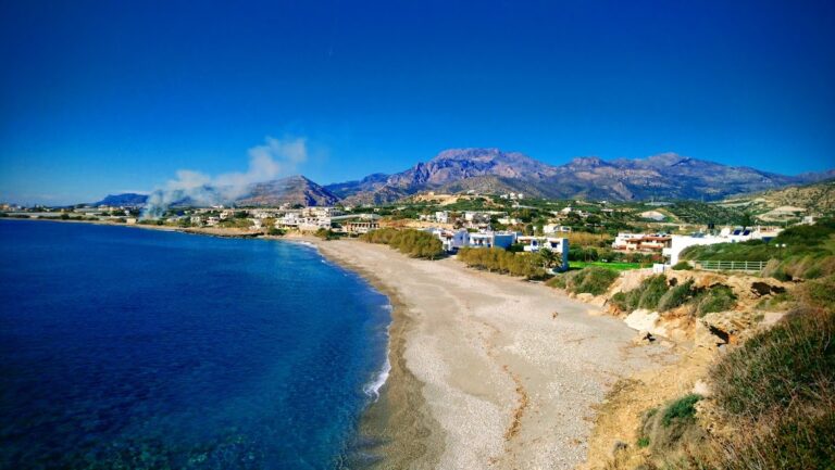
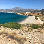
Makrigialos, a small town nestled near the exit of Pefki canyon, is situated 58km southeast of Agios Nikolaos and 23km to the east of Ierapetra. From its humble beginnings as a basic harbour in the 1950s with no connecting roads, Makrigialos has experienced considerable growth and is now the premier tourist hotspot in southeast Crete. The town is made up of two connected settlements, Makrigialos and Analipsi. There are a variety of accommodations, eateries, supermarkets, bakeries, ATMs, and medical facilities available for visitors.

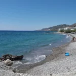
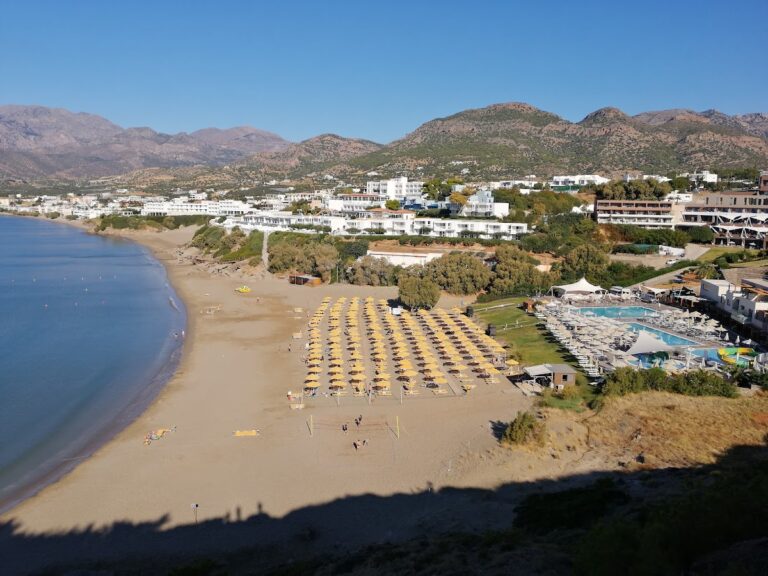
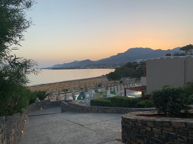
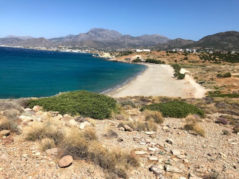
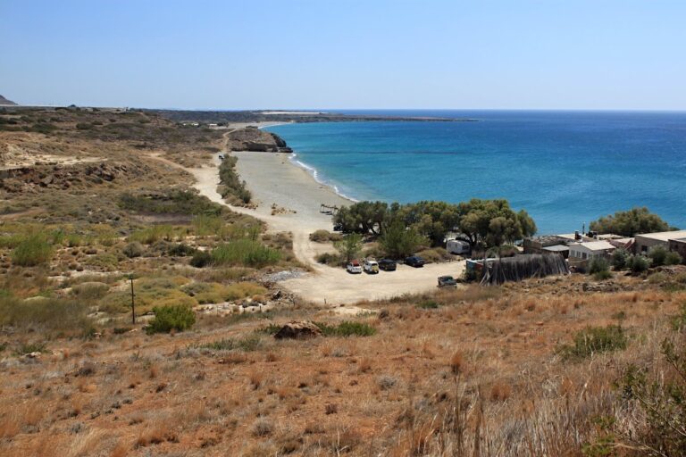
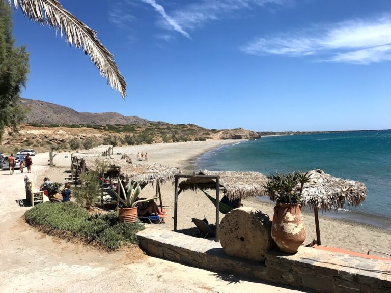
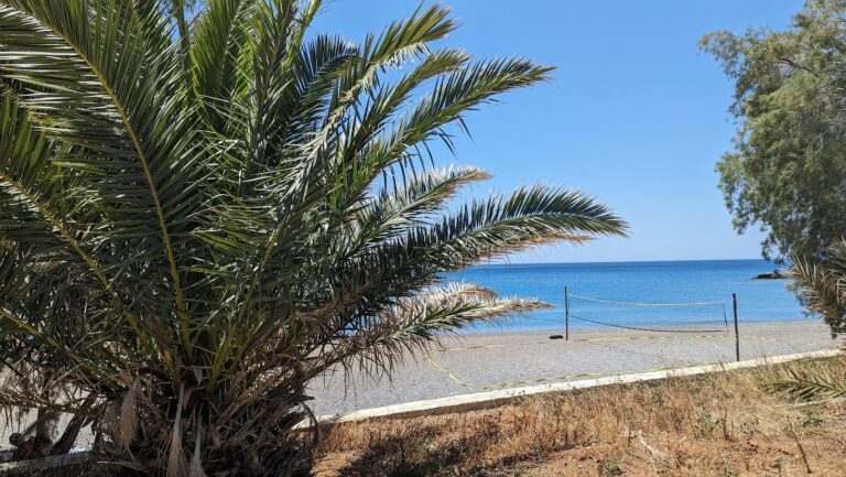
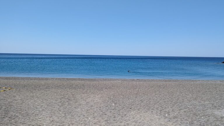
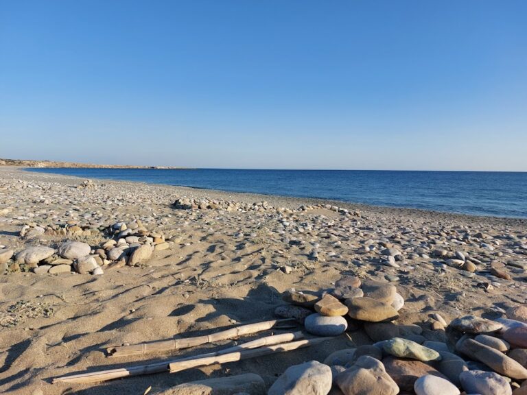
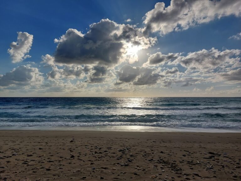
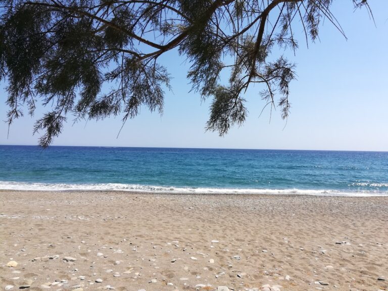
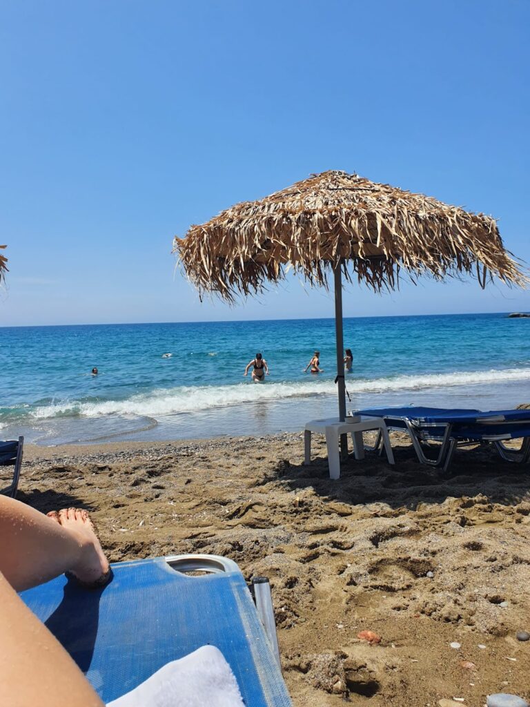
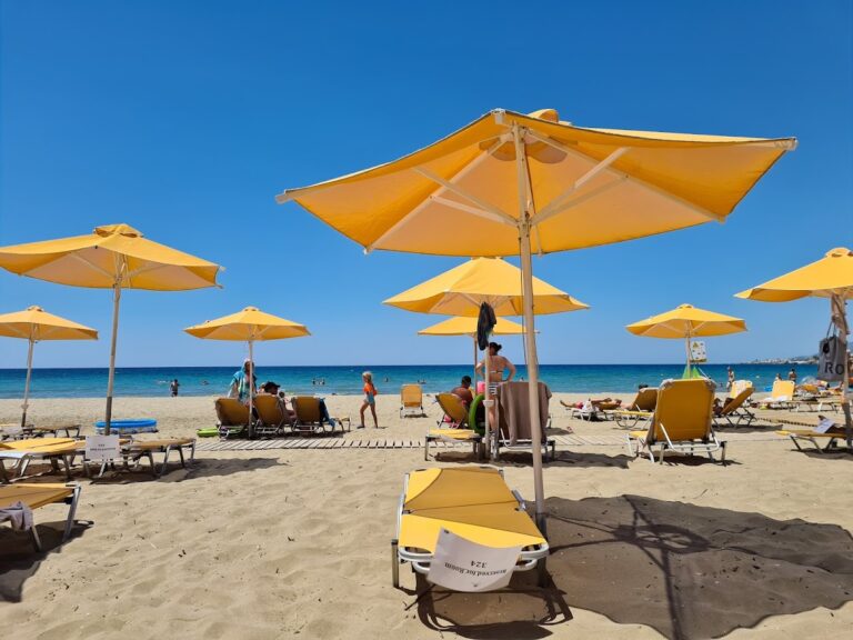
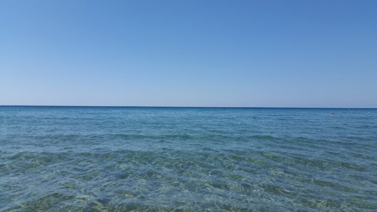
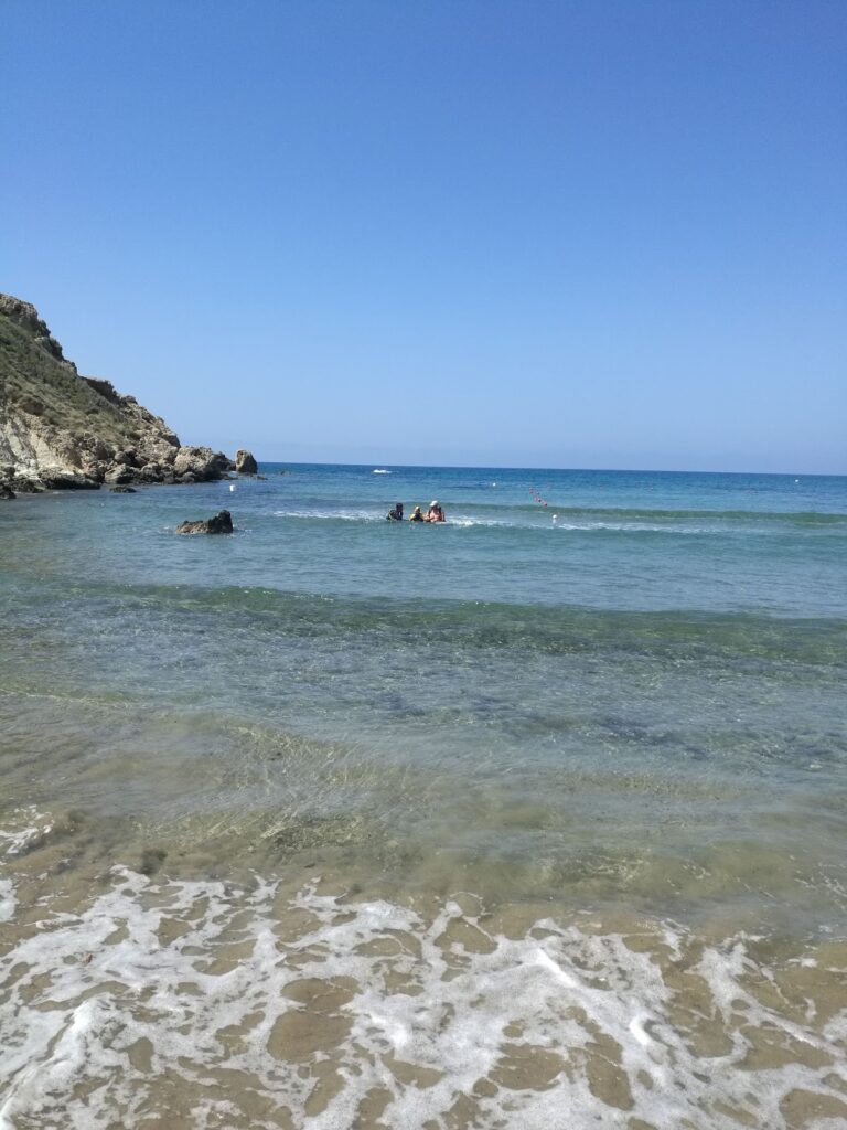
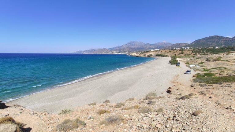
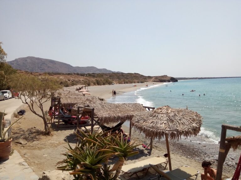
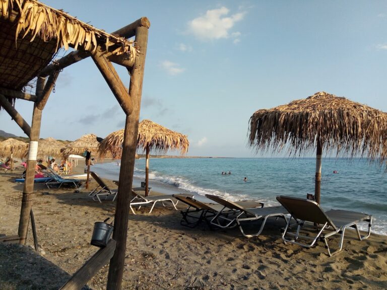
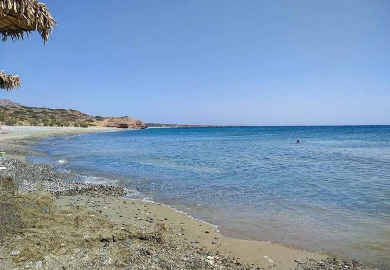
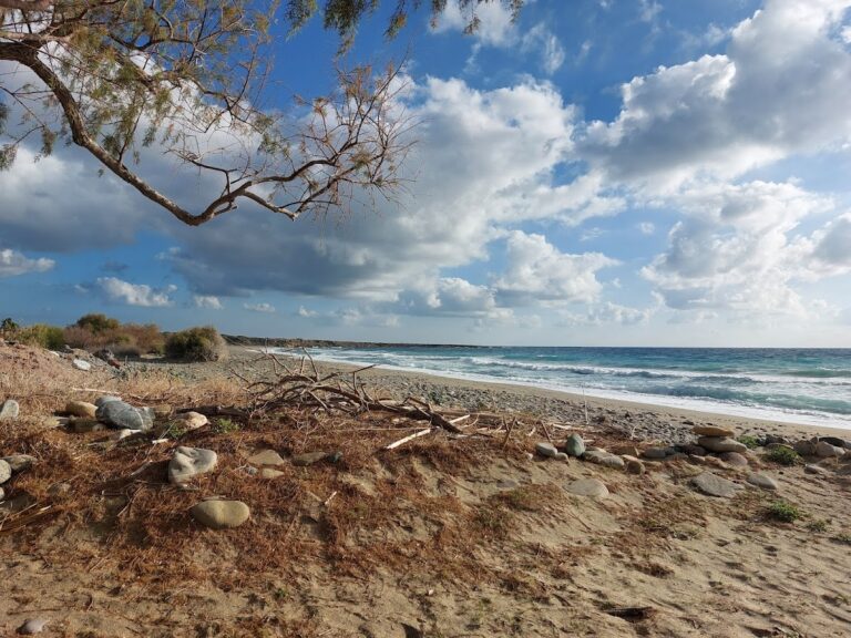
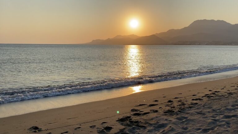
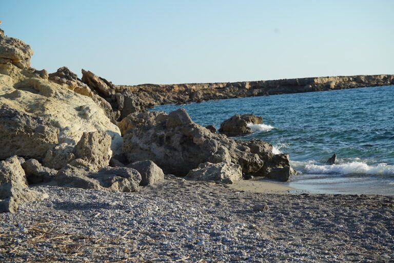
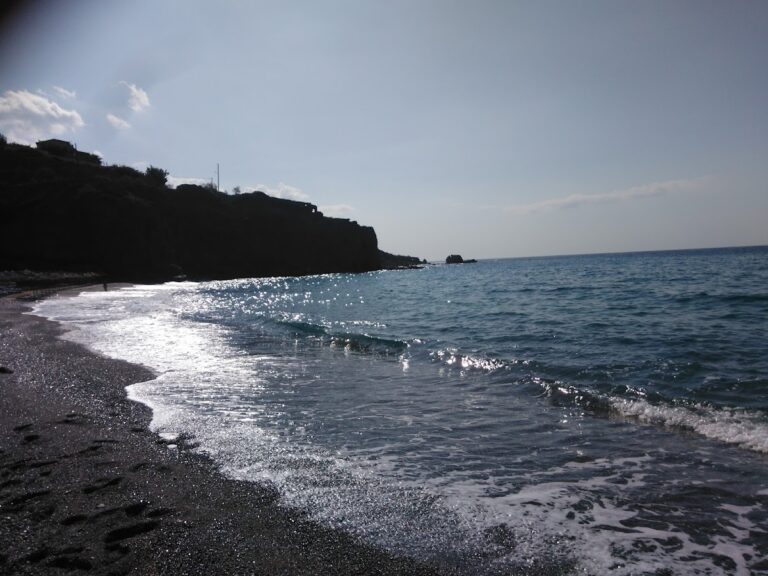
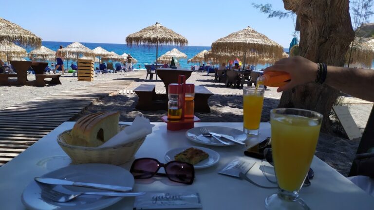
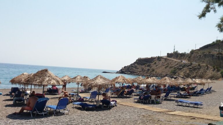
Makrigialos’ growth is primarily attributed to its stunning beaches, tranquil shallow seas, and the majestic scenery of the Thripti Range to the north. The main beach, known as Makrigialos, Hani, or Long Beach, is located in Analipsi and stretches 1km. This well-maintained, narrow beach features fine golden sand and is surrounded by numerous cafes and restaurants. With its shallow, calm waters and warm temperatures even in winter, it is particularly suited for families and children.

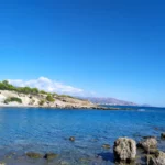
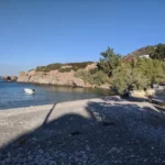
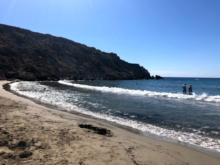
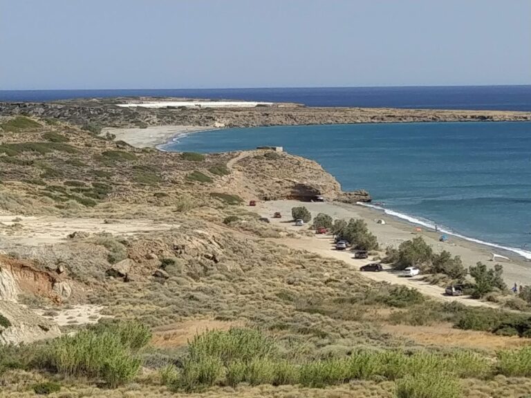
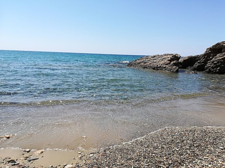
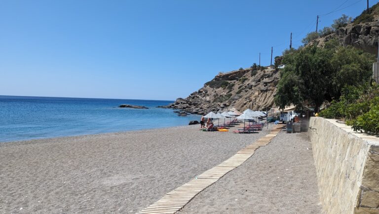
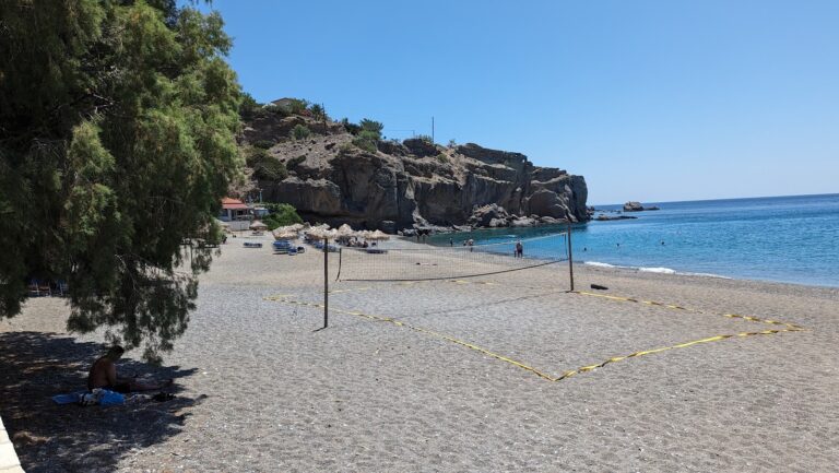
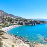
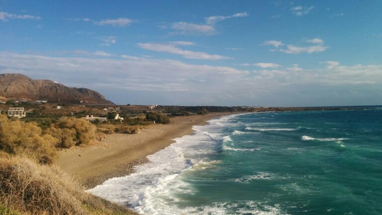
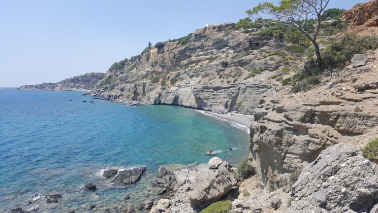
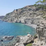
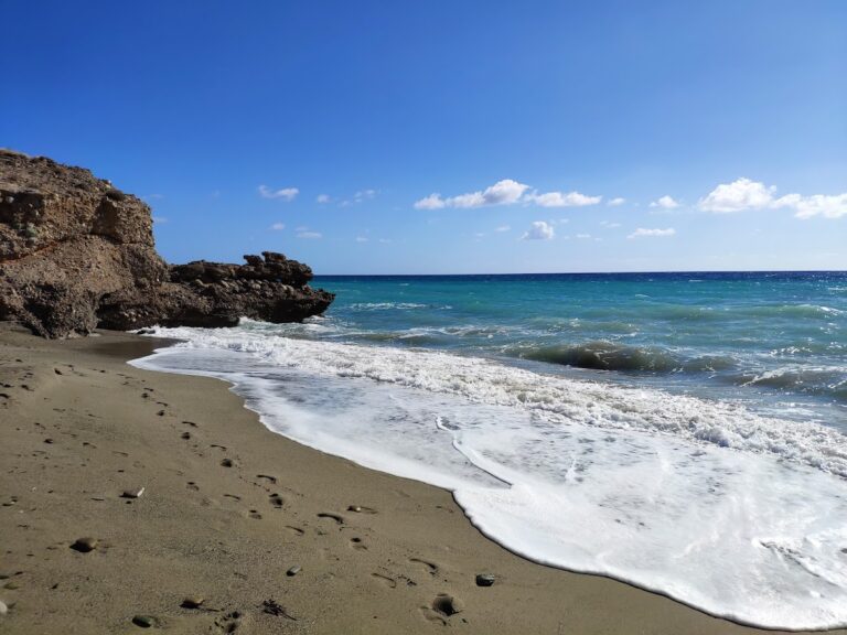
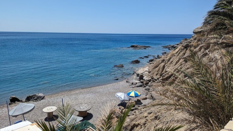
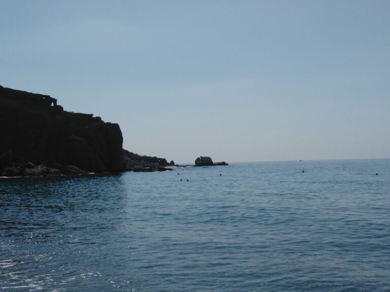
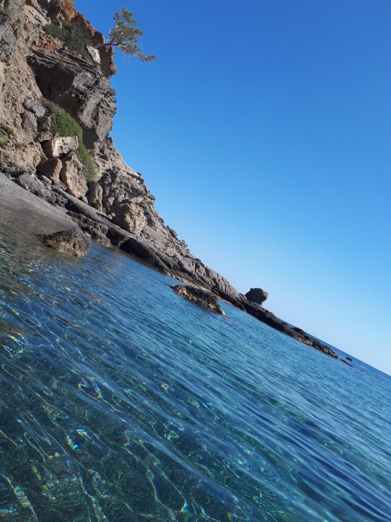
To the west of the town beyond the port lies the lesser-known Kalamokanias beach with its unique coarse sand. North of the port in Katovigli, a small sandy beach extends from Makrigialos beach. This beach, also known as Katovigli or Limanaki, is equipped with free umbrellas and other amenities. The area is known for the ruins of a 2nd-century Roman villa, including baths and mosaics, a unique feature in eastern Crete. On the other side of the town are the two bays of Lagoufa, situated next to two large hotels.

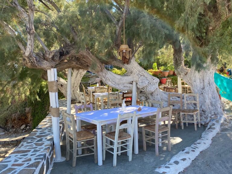
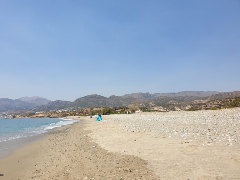
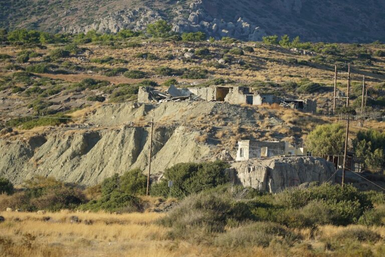
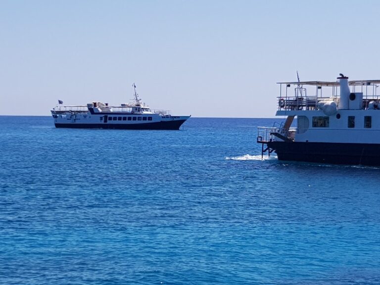
Makrigialos is the ideal base for exploring the wider area, with its beautiful beaches stretching from Ferma to Goudouras and the surrounding villages. Outdoor enthusiasts will enjoy walking in the Pefki canyon or the lush Orino Gorge. In the town itself, visitors can explore local churches, the Roman Villa in Katovigli, and the Minoan villa at Plakakia, built between 1500-1450BC in the style of Minoan palaces. While nightlife is not particularly vibrant, there are several beach bars available. A leisurely walk to the Makrigialos harbour provides a picturesque view of the boats and local fishermen.

  • 6.0 km
  • Mavros Kolimbos beach
  • Pebbles
  • Normal
  • Blue

The beach known as Mavros Kolimbos or Agios Panteleimon is situated 51km southeast of Agios Nikolaos and 16km to the east of Ierapetra. This quaint coastal settlement has experienced gentle growth over recent years. The area boasts several rental accommodations and small eateries. The beach itself is a charming spot with dark grey pebbles and typically tranquil waters. Some parts of the seabed are rocky, making it perfect for snorkelling. Although the beach is not organized, there are tamarisk trees nearby that provide natural shade.

To reach Mavros Kolimbos from Ierapetra, take the main road east towards Makrigialos, which runs along Crete’s southern shoreline. Public bus services are also available to Makrigialos and can stop in the area. If you’re driving, consider stopping by the mountainous Orino village in the Thrypti Range and the Gorge of Red Butterflies. Within the settlement, pay a visit to the Agios Panteleimonas church, from which the beach derives its alternative name.

  • 6.1 km
  • Lagoufa beach
  • Sand
  • Shallow
  • Blue

Lagoufa, situated just beyond the easternmost point of Makrigialos main beach, is located about 59km southeast of Agios Nikolaos and 24km east of Ierapetra. It is composed of two neighboring coves close to the upscale hotels of Makrigialos. The first cove boasts fine golden sand and shallow, azure waters, and is well-equipped with amenities such as umbrellas, bars, showers, and water sports facilities, courtesy of the nearby hotel. Despite its seemingly private nature, the beach is accessible to all as there are no privately owned beaches in Greece.

Entry to the Lagoufa beaches can be gained either via the hotels or by traversing the rocky eastern edge of Makrigialos beach, a journey that requires a brief walk through shallow waters. From the first cove, a wooden walkway leads to the beach furthest east. Below this walkway, tiny beaches have formed in the rocky limestone, and in certain areas, fresh water can be seen seeping from the rocks or sand.

  • 6.9 km
  • Diaskari beach
  • Sand
  • Normal
  • Blue

Diaskari, situated 27km to the east of Ierapetra and 62km southeast of Agios Nikolaos, is in close proximity to Makrigialos, about 4km away. This extensive beach features rough light sand and crystal-clear water. However, caution is advised when entering the water due to the presence of slick rocks in certain areas.

Diaskari is a tranquil beach that offers a secluded atmosphere. The western end is home to a small cluster of tamarisk trees, a tavern, and a few umbrellas. This section is the most populated area of Diaskari, marking the end of the road that begins at the eastern exit of Makrigialos. For those seeking solitude, the eastern side of the beach is the ideal spot.

Following Diaskari, the expansive beach of Lagada is even more secluded. In 1972, archaeologists discovered a late Minoan settlement with significant architectural structures on a hill to the north of Diaskari.

The beach’s name, Diaskari, originates from the sanctuary of the Dioscuri, which was constructed on the hill that separates it from Lagada beach to the south.

  • 7.3 km
  • Ahlia beach
  • Fine Pebbles
  • Normal
  • Blue, Deep blue

Ahlia, also known as Achlia, is situated 50km southeast of Agios Nikolaos and 15km east of Ierapetra, within the jurisdiction of the village Schinokapsala. It’s a small community nestled in a cove, with the Thrypti Range’s steep slopes and pine trees surrounding it. The cove opens up into a stunning beach with coarse sand and vibrant blue water. The beach has minimal development, with only a few umbrellas, water sports, and some nearby accommodations, mini markets and taverns. Tamarisk trees provide shade for visitors, and the sea is usually calm. This location is perfect for a tranquil vacation, particularly for families.

The Achlia Gorge, which is small but reasonably wide, begins west of the Skinokapsala village at the Kipos location. The gorge, covered in pine trees, ends at Ahlia beach. During winter, water from the Thripti Range forms a river with several waterfalls (between 5 to 8 meters high) along its path. As the sandstone walls are not narrow, hiking is relatively easy without the need for canyoning equipment.

To get to Ahlia, take the main road east to Makrigialos, following the southern coastline of Crete, until you see the signpost for Ahlia. East of Ahlia, before reaching the Agios Panteleimonas community, you’ll find the small beach known as Bonda or Grias Pidima.

  • 7.6 km
  • Lagada beach
  • Sand
  • Normal
  • Blue

Lagada, positioned 29km to the east of Ierapetra, 62km southeast of Agios Nikolaos, and 6km east of Makrigialos, nestles within a verdant valley rich with olive groves and flanked by the towering Thripti mountains. In recent years, the area has seen the development of a few hotels and rental properties, yet the beach has managed to maintain its secluded charm.

To reach Lagada from Makrigialos, travel along the Sitia road and look out for the signs for Moni Kapsa. Within 500-800m, you’ll spot numerous greenhouses with the expansive Lagada beach to your right. Several roads starting near the greenhouses will lead you straight to the beach.

Lagada’s beach is characterized by its small pebbles and crystalline water. It’s entirely unpopulated and devoid of any facilities, making it a perfect getaway for naturists and campers. There are a handful of spots with tamarisk trees for shade. Towards the west, the Andromilos torrent cools the water. The beach, which is exposed to the southern winds, is recognized as an excellent spot for windsurfing in Crete, despite the rocky seabed posing some risks.

  • 7.9 km
  • Galini beach
  • Fine Pebbles
  • Deep
  • Deep blue

Situated 47km southeast of Agios Nikolaos and 13km east of Ierapetra, near Achlia beach, lies the quaint village of Galini. Nestled amidst a lush landscape dotted with pine trees, Galini is a small yet slightly developed village. The coastline surrounding the village is marked by numerous hidden coves and pebbly beaches, only accessible via a few well-concealed paths.

Among these is Galini beach, a serene spot nestled between Ahlia and Agia Fotia. Characterized by fine pebbles and clear calm waters, the beach’s seabed is rocky in certain spots. The beach remains concealed from the main road due to towering conglomerate rocks and isn’t easily accessible, making it a quiet and ideal spot for those seeking solitude. While the beach is not organized, the proximity of village hotels and taverns makes it convenient for visitors. A short path from Galini’s main road leads directly to the beach.

© All rights reserved. Crete Locals