Beaches near Myrsíni, in Lassithi region

Here is list of closest beaches to Myrsíni

  • 2.8 km
  • Loutres beaches
  • Pebbles, Rocks in places, Sand
  • Deep
  • Blue

Situated 48km east of Agios Nikolaos and 35km west of Sitia is the quaint village of Mochlos. A short 300m journey eastward, near the Agios Andreas settlement, reveals several secluded bays filled with rounded pebbles. Known by the locals as Kolimbakia or Loutres coves, these spots are perfect for snorkelling and fishing, thanks to the rocky seafloor that houses a multitude of fish. Beyond the coves, you’ll find the well-equipped Stomio beach, fronting a local hotel. It provides amenities such as umbrellas, showers, beach-volley courts, canoes, as well as sailing, windsurfing and diving facilities. Further east of Mochlos, the Mavro Selli beach awaits, characterized by a small stream and large pebbles.

  • 4.0 km
  • Gela beach
  • Pebbles, Sand
  • Deep
  • Deep blue

Gela (also known as Tigania) is nestled on the stony and shingle coast of northern Crete, largely shielded from westerly winds. It is situated approximately 58km east of Agios Nikolaos and 26km west of Sitia, nearby the village of Kalavros. To reach Gela from Agios Nikolaos, take the road to Sitia and follow the exit to Kalavros village. From there, follow the 5km dirt track that leads to the sea until you arrive at Gela’s shoreline. The location is incredibly secluded and features several tiny bays with pebble beaches and green-tinted waters, perfect for swimming on calm days. The bays are nestled near the steep, rocky coasts, and the sea here is deep.

The area is perfect for activities like fishing and snorkelling, as well as for those seeking solitude. You’re unlikely to encounter many others in this remote spot.

  • 4.4 km
  • Mochlos beaches
  • Rocks in places, Sand
  • Normal
  • Blue

Mochlos is a quaint village situated 48km to the east of Agios Nikolaos and 35km to the west of Sitia. It lies 150m across from the islet of St. Nicholas, home to a chapel of the same name and an important archaeological site. The village of Mochlos maintains its traditional Cretan charm, making it an ideal destination for a peaceful getaway. The friendly locals, primarily from the village of Sfaka, will make you feel at home from day one. You may even get the chance to participate in local events such as fishing competitions.

The village’s coastal road is dotted with a handful of taverns and cafes where you can savour fresh seafood and refreshing drinks. These establishments have even gained popularity among notable Greeks. An old tax office previously stood next to these taverns but was unfortunately torn down several years ago. The small sandy beach of Mochlos, with its rocky seabed, lies in front of the village. It offers basic facilities but is not officially organized. A second, smaller and rockier bay can be found to the east of the village.

For those seeking solitude, the sandy beach of Limenaria lies 400m west of Mochlos. This beach and the local harbour are well shielded from the waves. In 1986, archaeologists discovered a post-Minoan cemetery with several intact carved tombs in Limenaria. Over 60 decorated vases and a Minoan seal featuring a deer were found at this site.

When visiting Mochlos, it’s worth exploring the neighbouring villages of Sfaka, Lastros, Tourloti, and Myrsini. These villages have preserved their traditional character and house some very old chapels. Furthermore, south of Mochlos, atop a hill, you can visit the scenic chapel of Holy Spirit (Agio Pnevma in Greek), which offers panoramic views of the Mirabello Gulf. Lastly, near the village of Myrsini, you will find the Venetian Tower of Kornaros and the chapel of St. Anthony.

  • 4.7 km
  • Richtis beach
  • Pebbles, Sand
  • Deep
  • Deep blue

Richtis beach, nestled approximately 20km west of Sitia and 45km east of Agios Nikolaos, is accessible through the eponymous Richtis Gorge which originates from the village of Exo Mouliana. You can get to the beach via the paved road that starts from Exo Mouliana or opt for a scenic hike through the verdant gorge.

This petite, pebble-strewn cove boasts pristine waters, though its northern orientation often results in waves. The beach, with its round pebbles, may not be ideal for swimming, especially on windy days, but it promises absolute tranquility. Given the lack of nearby amenities, it’s advisable to bring your own food. The beach is dotted with tamarisk trees, encircled by stone seats and tables. You’ll also find a stone water fountain providing drinkable fresh water year-round.

A trip to Richtis beach often includes a trek through the stunning Richtis Gorge, named ‘Richti’ (the Cretan term for Waterfall) because of the 20m high waterfall within the gorge that creates an oasis in East Crete. The gorge is especially worth visiting in the spring.

  • 4.8 km
  • Altsi bay
  • Sand
  • Deep
  • Deep blue

Situated between Mochlos to the east and Malavra springs near Tholos to the west, you’ll find the gypsum quarries of Altsi, named after the Turkish term for plaster. This region is home to two hidden beaches, largely unvisited due to their proximity to the quarries. Access to these secluded Altsi beaches can be achieved through the road that guides you to the mills responsible for grinding the stones; this path is marked as a dead end just before reaching Mochlos. Despite the significant alteration of the scenery by the quarries, these beaches maintain their pristine condition and inherent beauty.

  • 7.9 km
  • Tholos beach
  • Pebbles, Sand
  • Normal
  • Blue

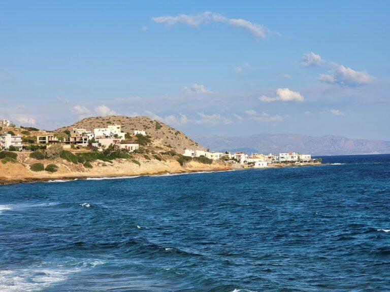
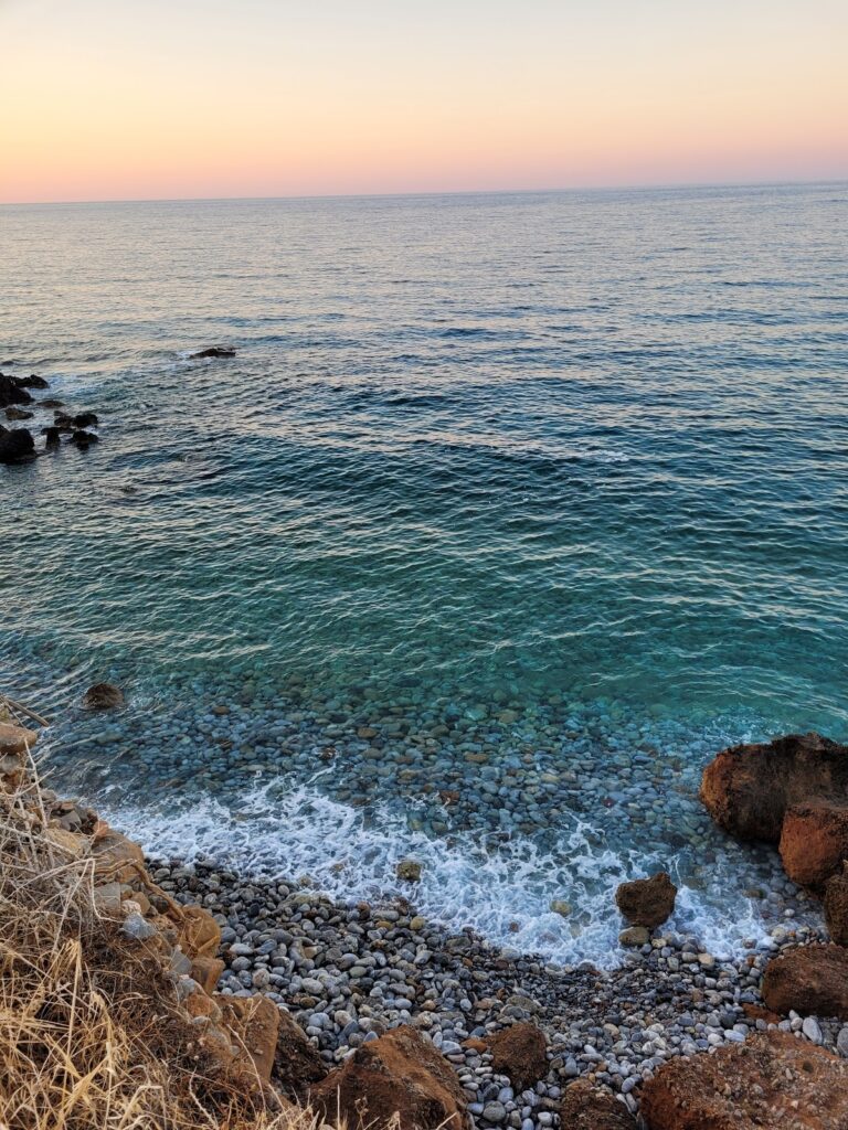
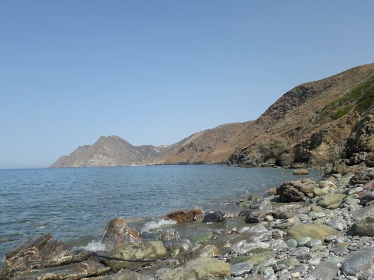
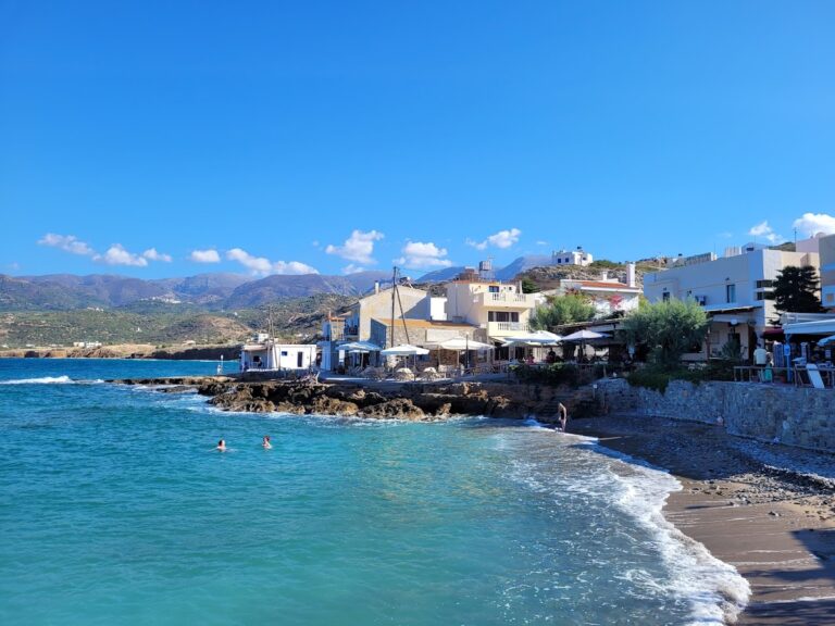
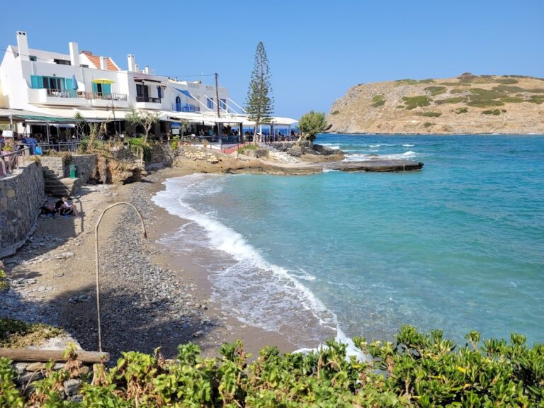
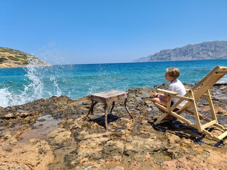
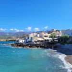
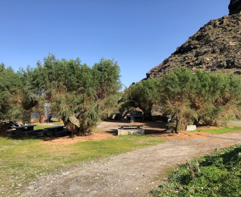
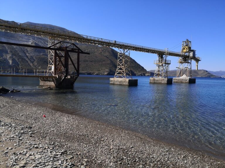
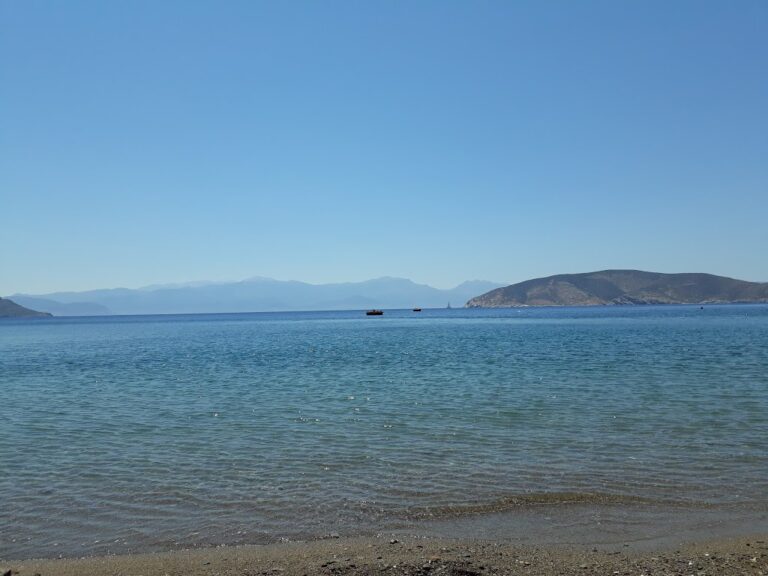
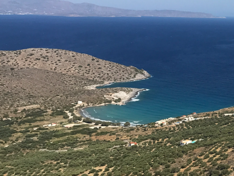
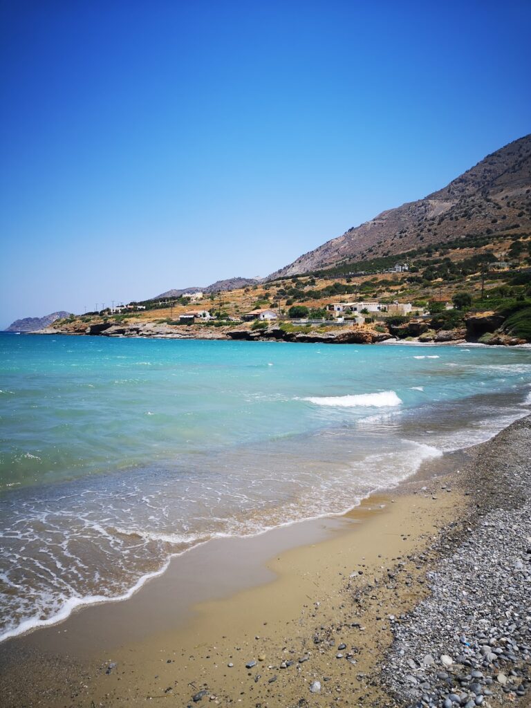
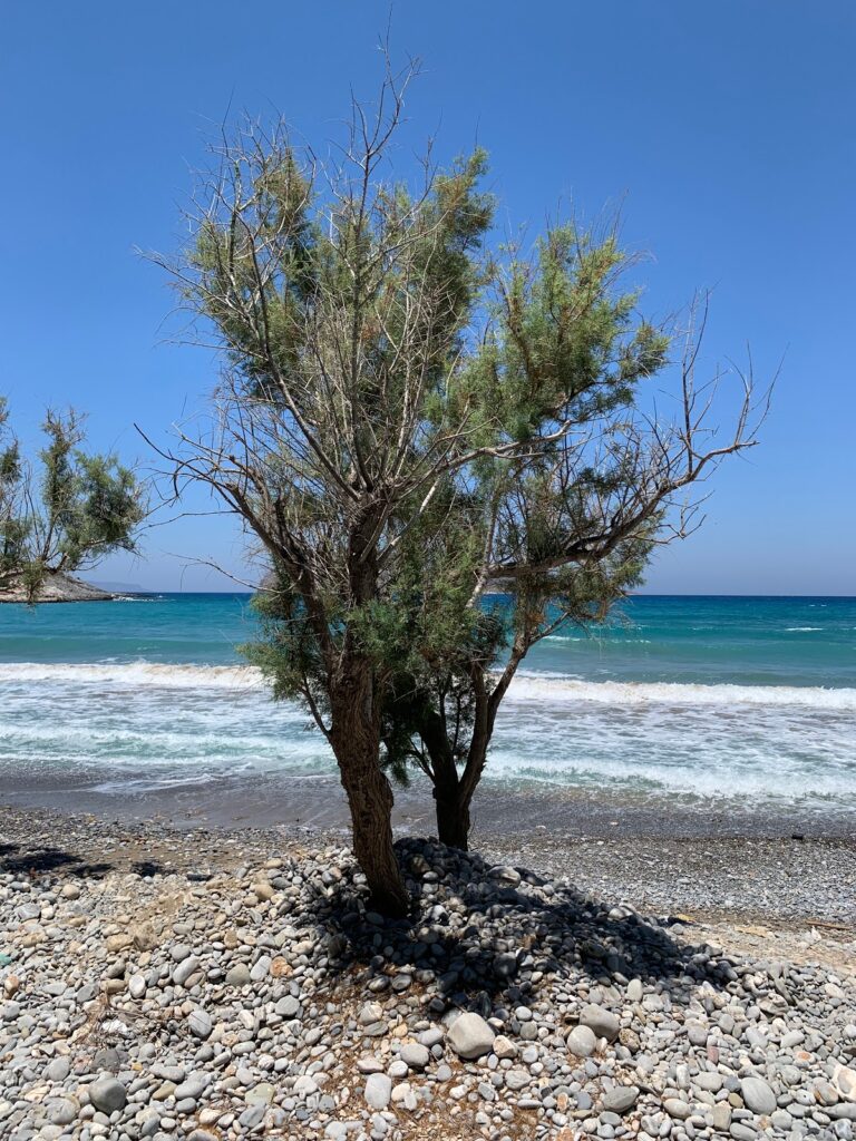
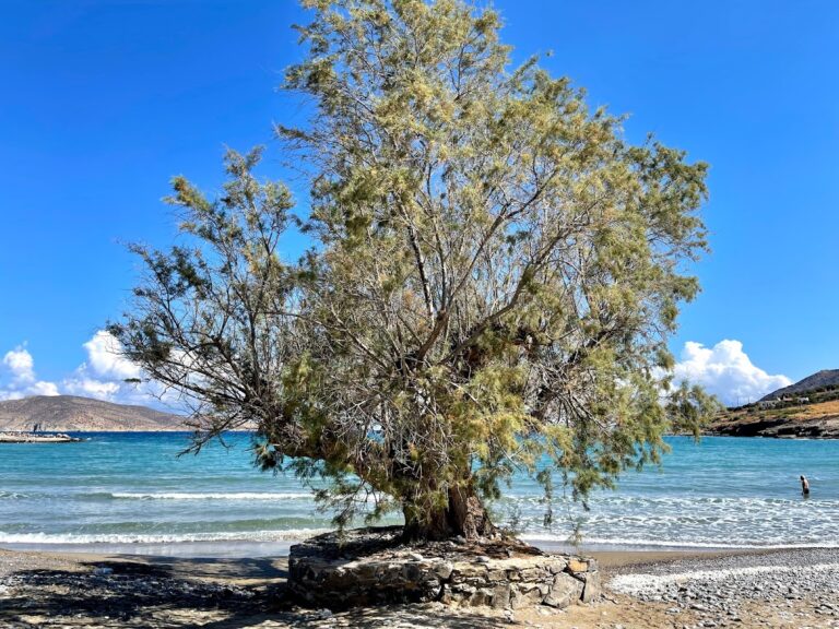
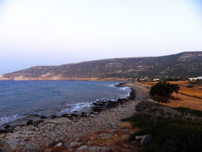
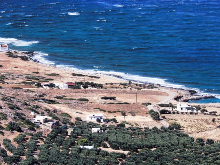
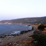
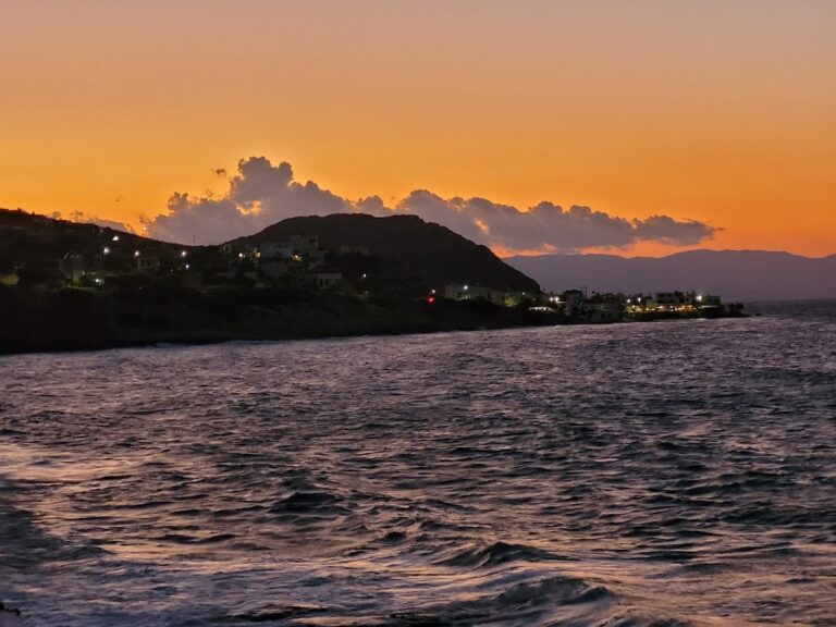
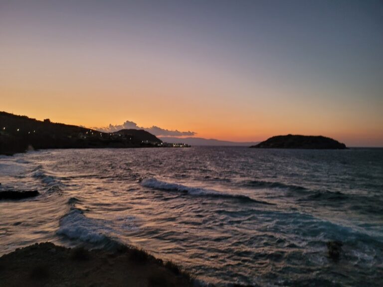
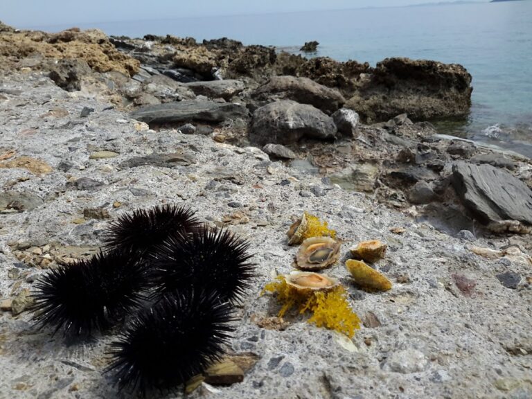
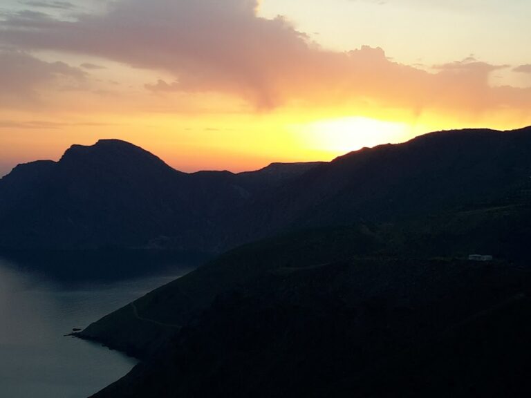
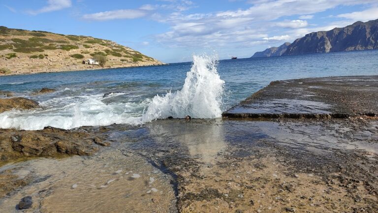
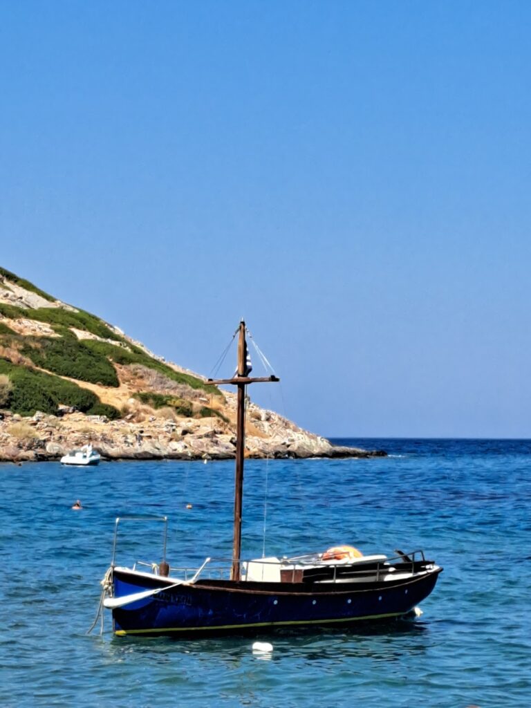
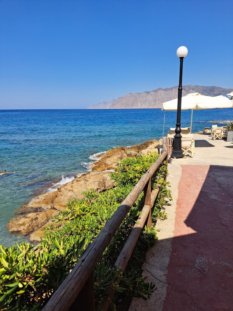
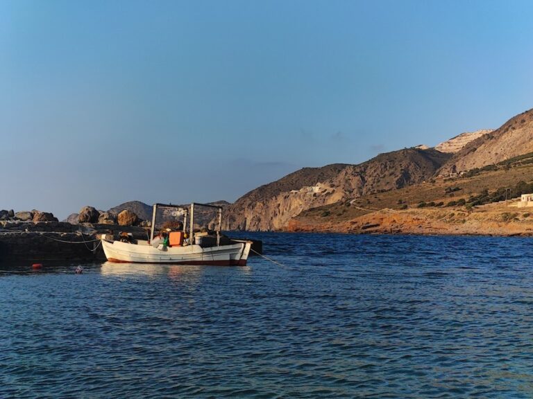
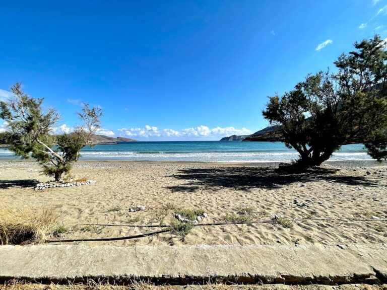
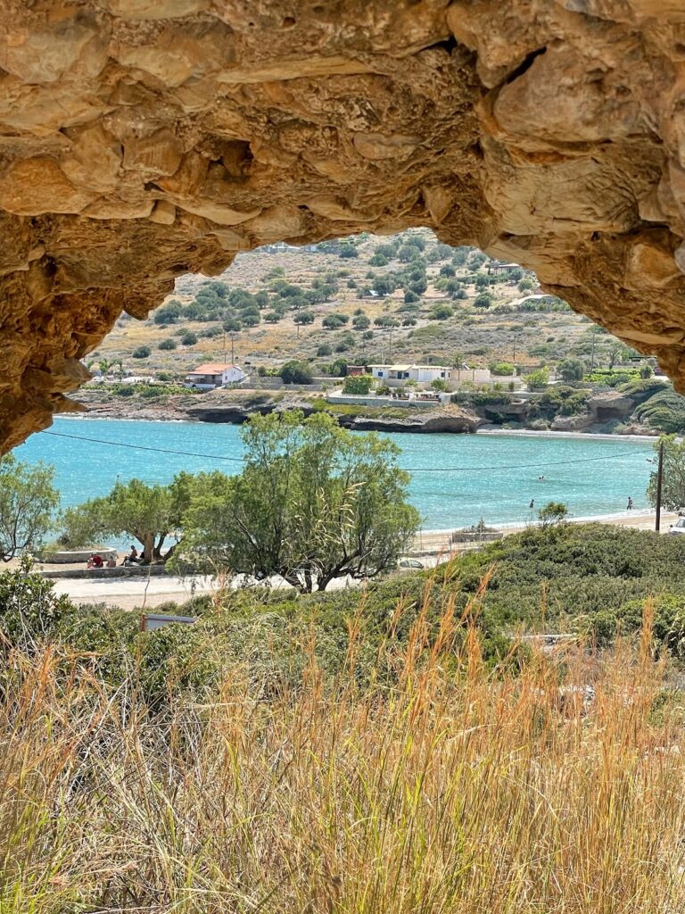
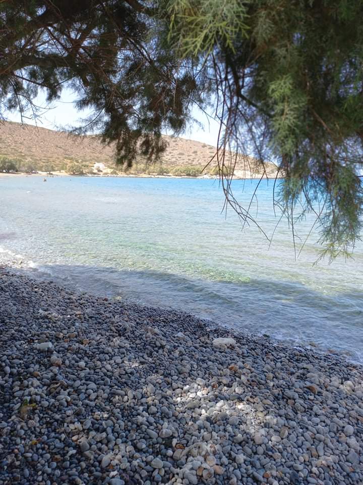
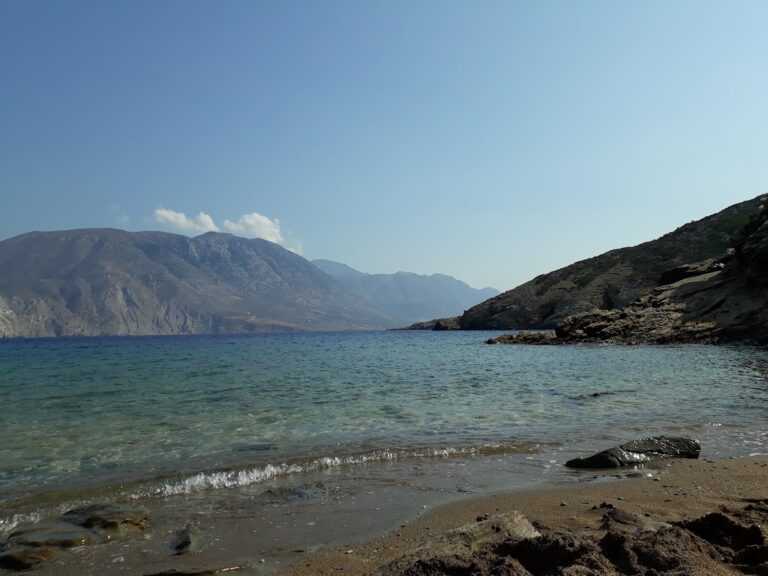
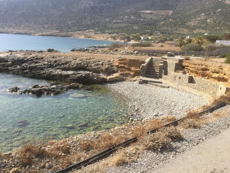
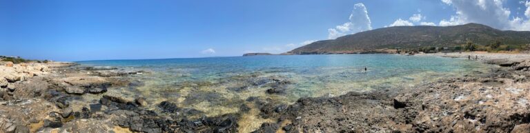
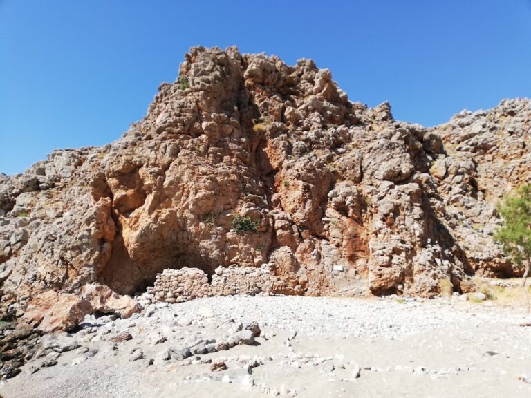
Tholos, situated 26km to the east of Agios Nikolaos and 4km north of Kavoussi village, can also be referred to as Kavoussi beach. Nestled at the end of a fertile valley and framed by ancient olive groves and vineyards, the region has only seen minor touristic development, making it an ideal spot for a tranquil holiday. Tholos beach, with its combination of pebbly and sandy terrain on the west side and a small harbour, is surrounded by tamarisk trees that offer much-needed shade. Nearby, there are accommodations and taverns. The water at the beach, usually hazy and light blue, is the result of underwater springs from the Thripti mountain massif mixing with salt water.

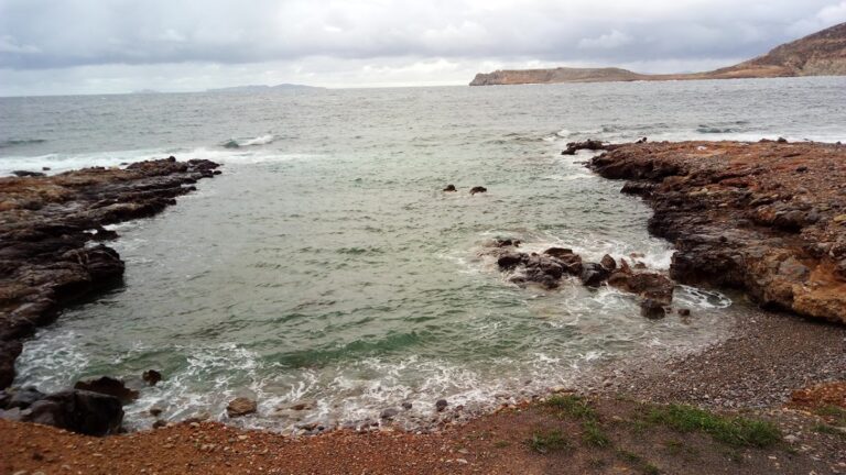
Legameni Cape beaches
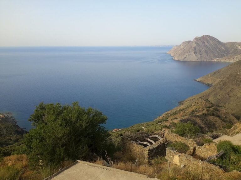
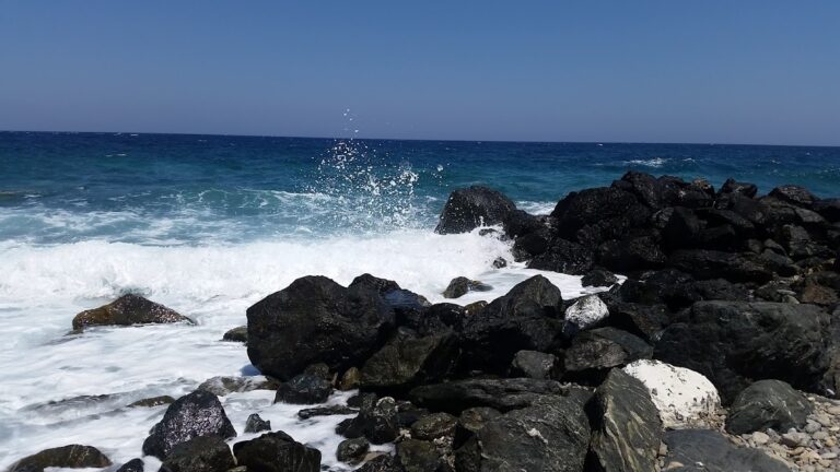
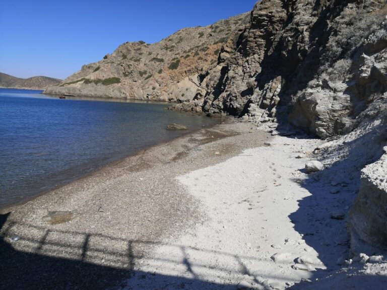
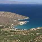
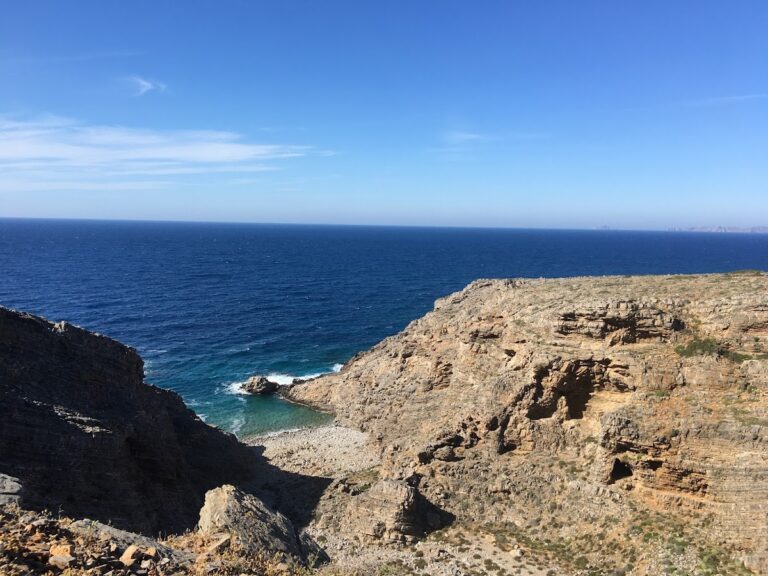
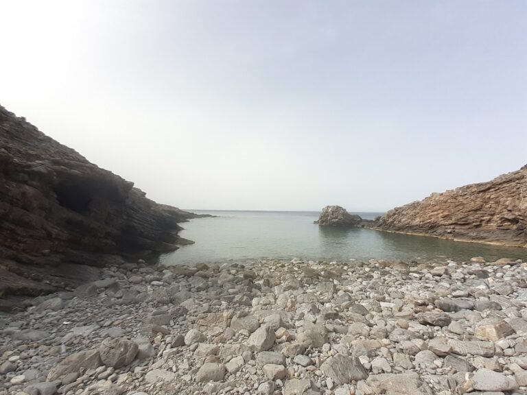
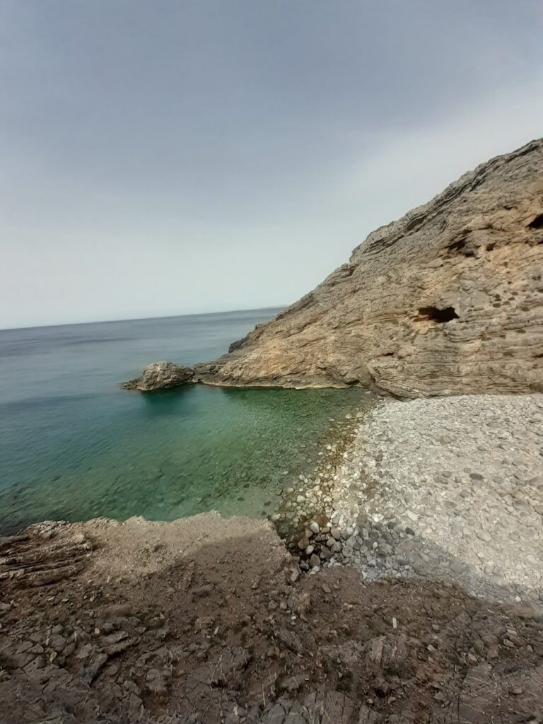
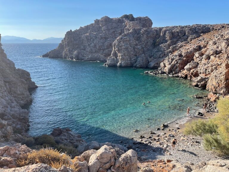
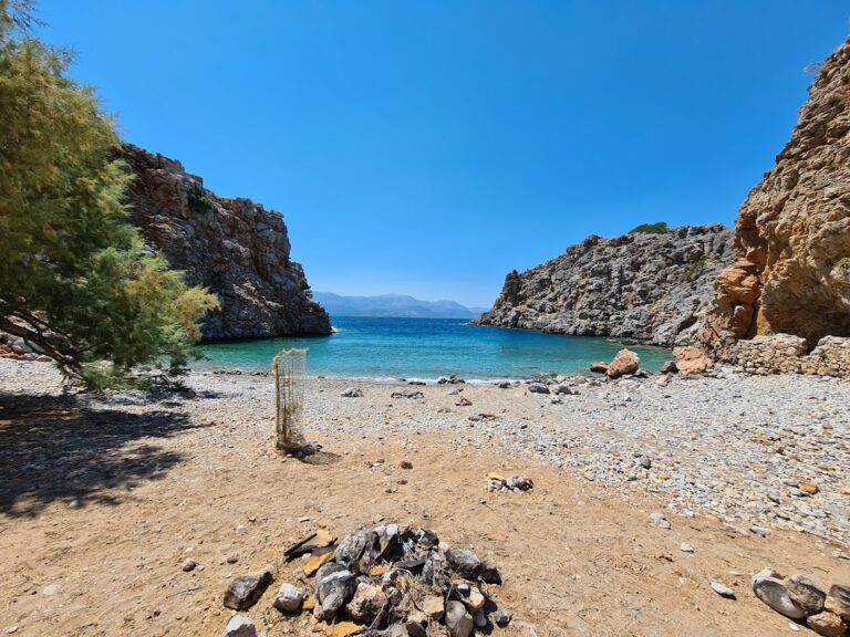
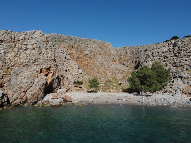
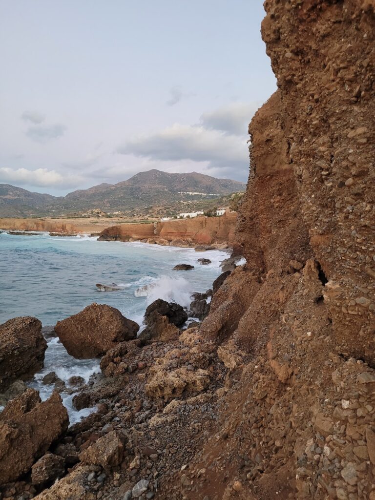
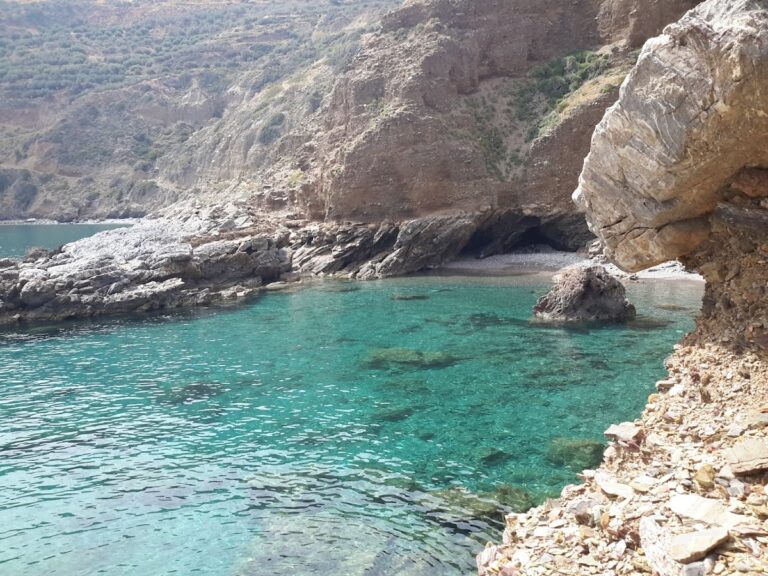
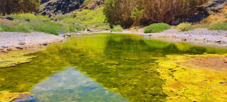
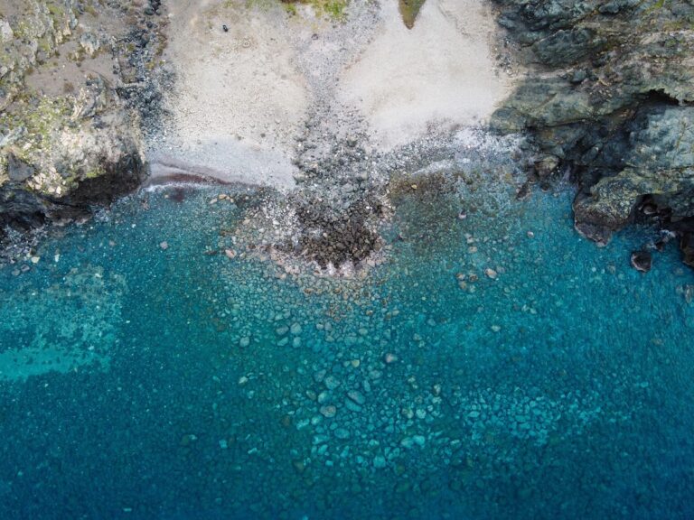
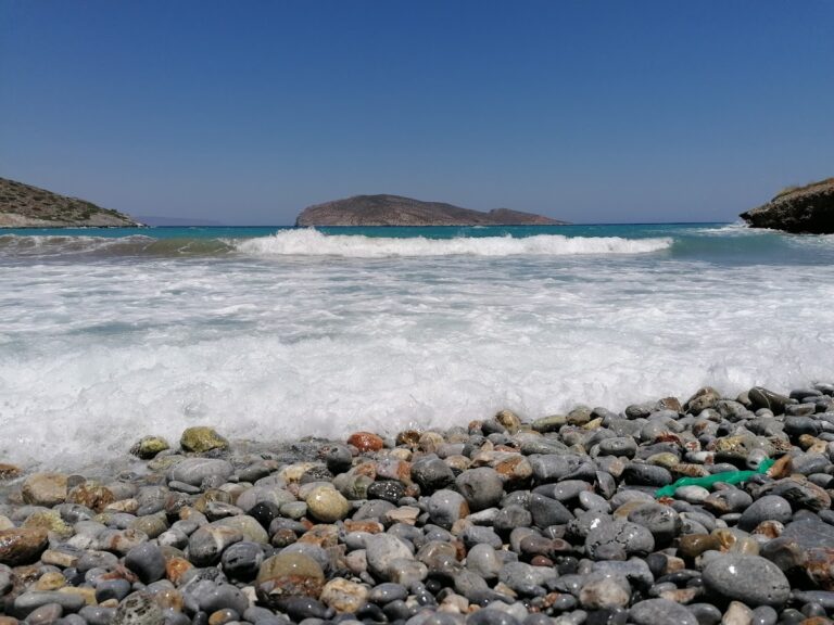
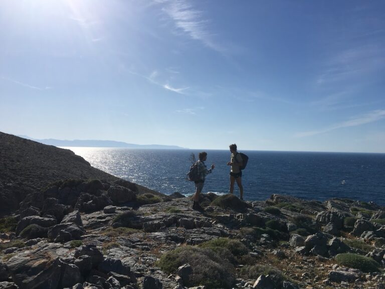
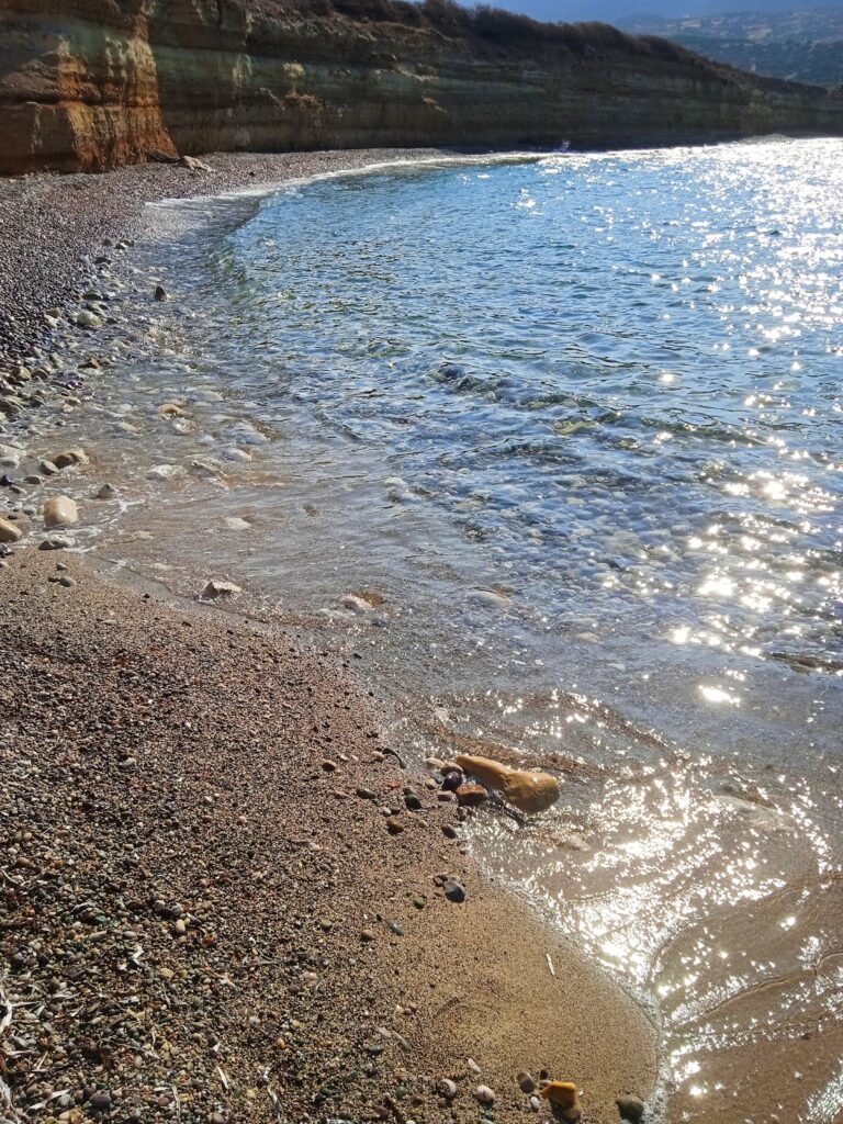
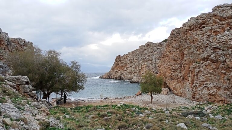
A stone’s throw away to the north of Tholos’ small harbour, two pebbly beaches have formed where two dry streams meet. These beaches, known as Legameni, owe their name to the local cape. It’s fascinating to observe aquatic plants growing out from the rocky sea bed, indicating the presence of fresh water underground. Both beaches provide stunning views of Malavra’s wild cliffs to the east of Tholos beach.
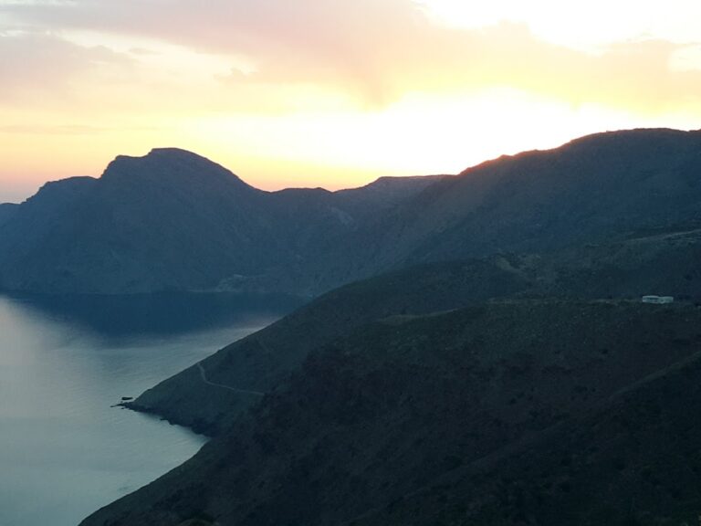
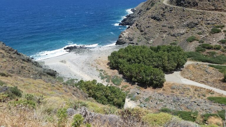
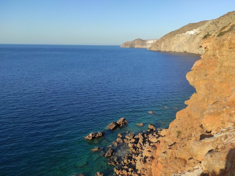
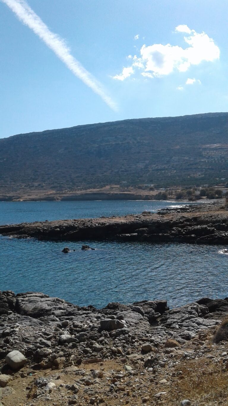
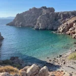
Malavra beach
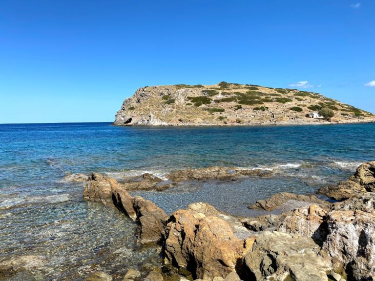
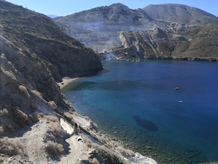
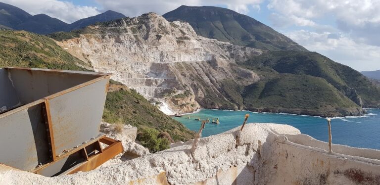
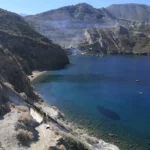
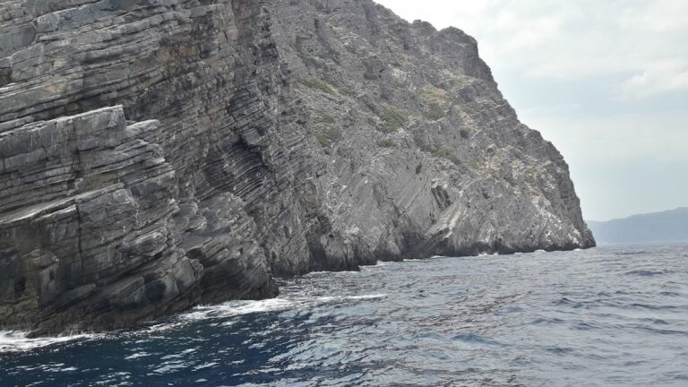
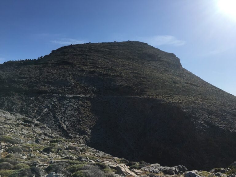
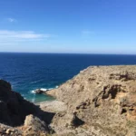
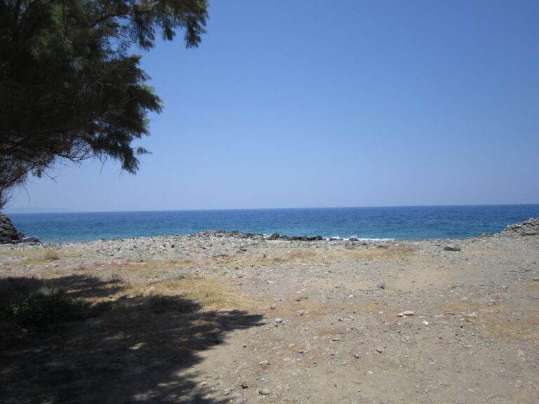
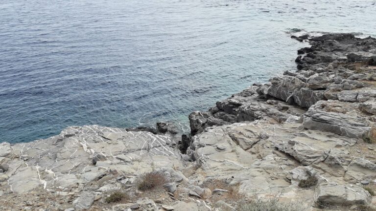
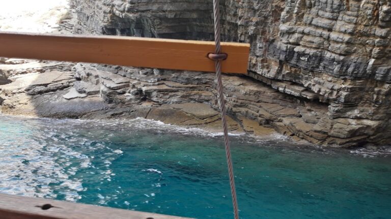
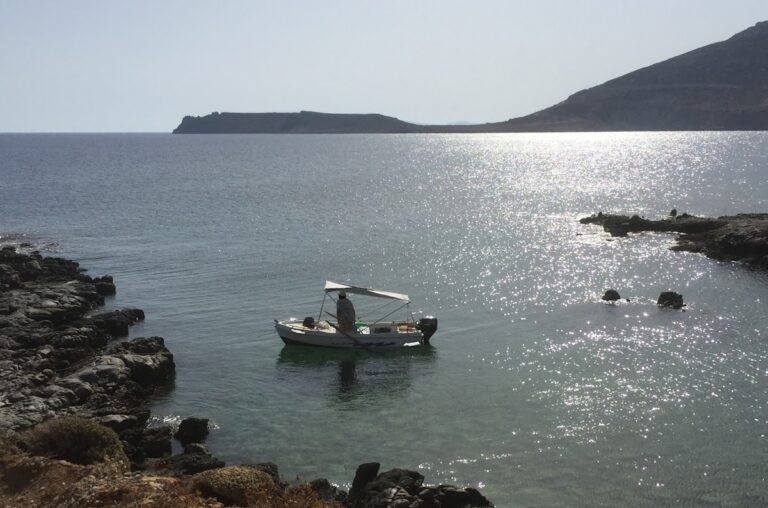
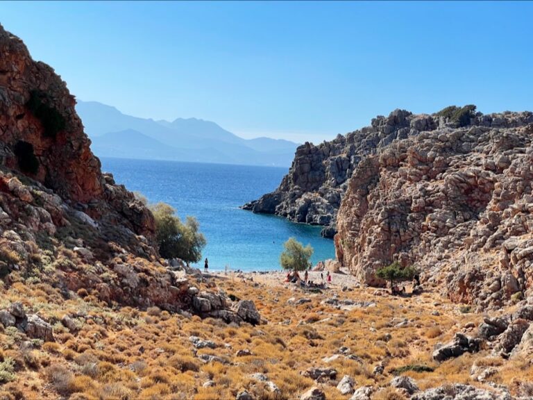
If you travel 2km east from Tholos, you’ll discover the isolated beach of Malavra, encircled by towering cliffs. Accessible only by boat and typically impacted by northern winds, this beach until recently could be reached by foot from the nearby freshwater spring station at Malavra, via a dirt track from Tholos beach. However, a gate has now been installed to restrict access.

Surroundings and Sightseeing
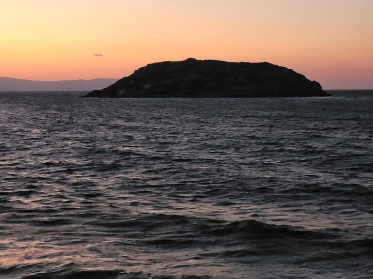
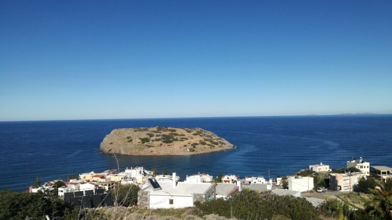
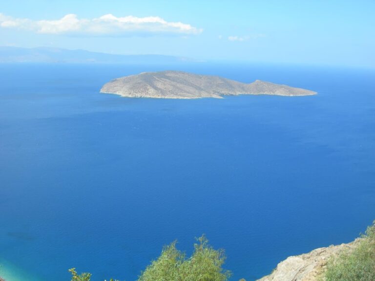
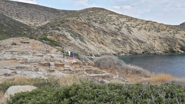
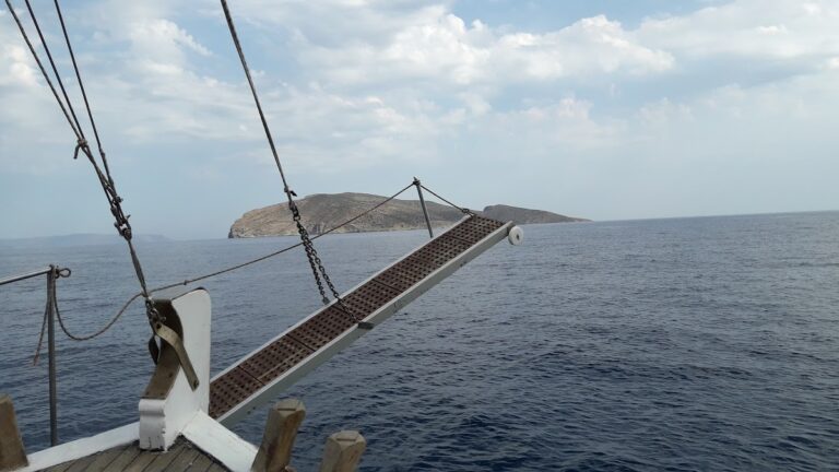
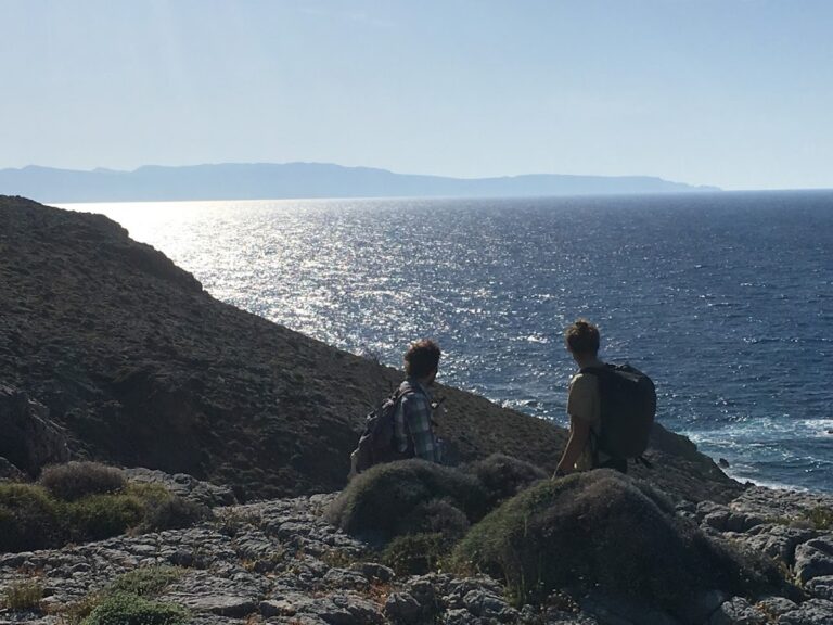
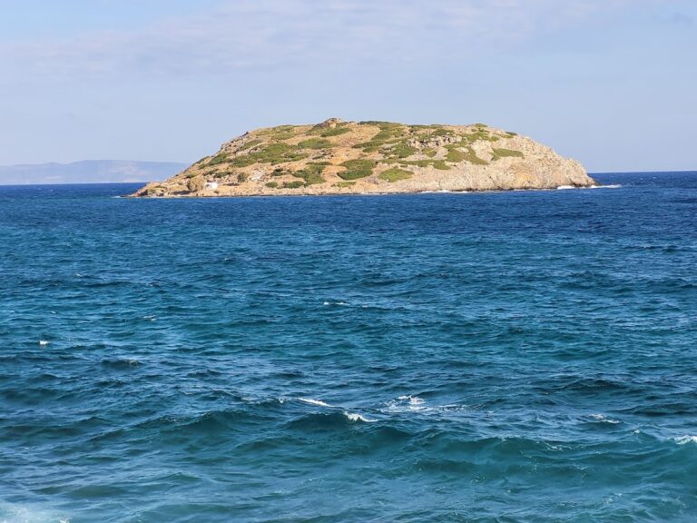
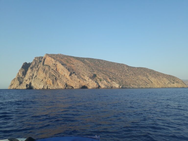
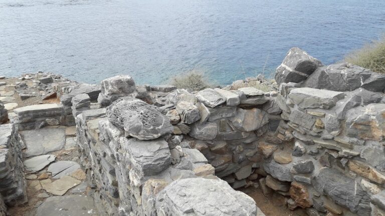
Kavoussi, one of Crete’s lesser-known but intriguing regions, boasts a wealth of archaeological sites, natural wonders, and traditional villages. Directly opposite Tholos sits Psira Island, a significant Minoan harbour. You can visit Psira by boat from nearby Mochlos and explore its extensive Minoan settlement. The island’s most significant artefact, a carved mural, now resides in the Archaeological Museum of Heraklion.

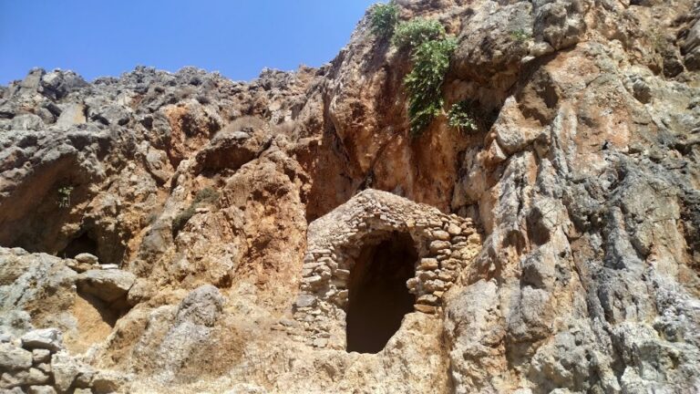
To the west of Tholos, you’ll find the old frescoed chapel of St. Anthony. A stroll to Kavoussi will lead you to the village square, where you can explore the Venetian church of St. George, a beautiful example of Byzantine architecture, and the Temple of the Twelve Apostles at Ligaras.

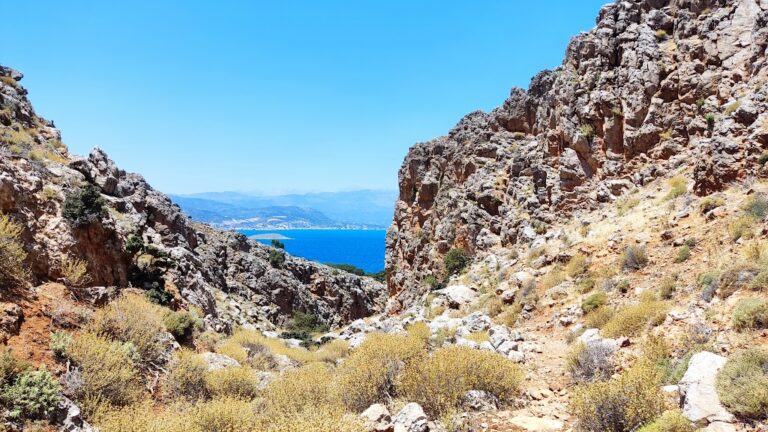
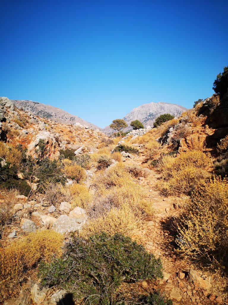
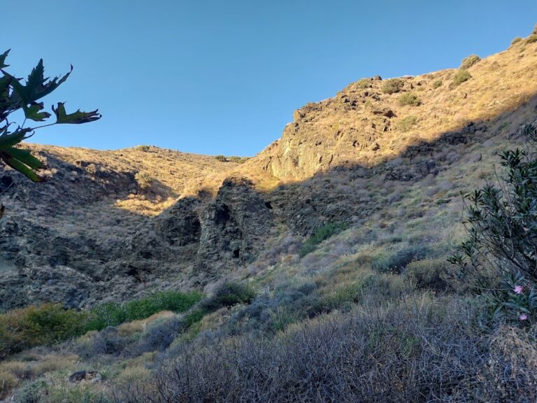
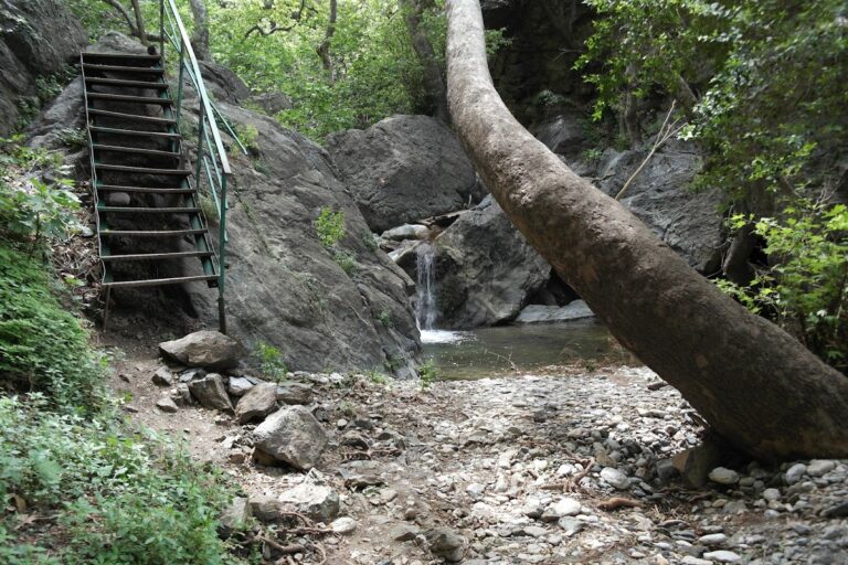
The archaeological site of Azorias, just 2km east of Kavoussi, is home to one of the most awe-inspiring natural monuments on Crete – an olive tree over 3500 years old and the oldest surviving in the world. This tree, a protected monument, was used to crown the first winner of the Women’s Marathon at the 2004 Athens Olympic Games. A short 2km journey south of the monumental olive tree will take you to the canyons of Mesonas and Havgas, some of the wildest in East Crete.

In addition to these, it’s worth visiting the Minoan settlements at Vrondas and Kastro, the ancient copper workshop from the Minoan period at Chrysokamino, and the nearby cave of Theriospilios, known for its unique decor. East of Theriospilios, you’ll find the Minoan settlement of Chylopites.

  • 8.0 km
  • Psira islet beaches
  • Pebbles, Rocks in places, Sand
  • Normal
  • Blue

Psira, a small uninhabited island located opposite Kavousi, is renowned for being home to one of the most significant and affluent Minoan settlements discovered on Crete. However, it’s a lesser-known fact that Psira also boasts of remarkable natural beauty, featuring mysterious cliffs, sea caves, and enchanting beaches.

The island houses several petite beaches, with the largest one situated to the north of the settlement, featuring a sandy landscape. Right beneath the ancient settlement towards the south, a small bay hosts two exquisite pebble beaches. It’s noteworthy that all of Pseira’s beaches are on the island’s south side, thereby offering protection from the usual northern winds.

  • 10.2 km
  • Charkomatas beach
  • Pebbles
  • Deep
  • Deep blue

It’s definitely worth your while to venture west from the Papadiokambos settlement, particularly on those seldom windless days. You might consider parking your car roadside, bypassing the wire fence, and taking a brief 2-minute stroll to the mouth of the gorge that stretches from the Liopetro region to the stunning Charkomatas beach, located near Roussa Limni. The breathtaking formations of the Charkomatas gorge, carved from layers of limestone, are sure to leave a lasting impression.

  • 10.6 km
  • Papadiokambos beach
  • Pebbles, Rocks in places
  • Deep
  • Blue, Deep blue

Situated 12km west of Sitia and 59km east of Agios Nikolaos, Papadiokambos nests near the Faneromeni Monastery in the Skopi area, just west of Cape Trahilos. Reachable via a well-maintained dirt road, Papadiokambos is home to a long beach scattered with large stones and rocks. You will find a few bays formed with pebbles where swimming is possible. The beach is secluded, so it’s likely you’ll have it all to yourself. However, it’s worth noting that amenities are scarce, so bring your own supplies. Strong winds and large waves discourage most visitors, making it an ideal spot for windsurfing enthusiasts, even in winter. Known as Faneromeni among windsurfers, Papadiokambos is renowned as one of Greece’s prime locations for wave sailing, a thrilling aspect of the sport. The area is characterized by strong currents, large waves reaching 3-4m high, and virtually no beach. Some spots can be hazardous, requiring caution and advanced level skills to avoid damaging your equipment on the rocks.

The beach also houses an excavated Minoan fisherman’s house, a small structure that has provided significant insight into Minoan dietary habits.

  • 11.2 km
  • Agriomandra beach
  • Fine Pebbles, Pebbles
  • Deep
  • Deep blue, Green

Agriomandra, a hidden gem of a beach, can be found 24km east of Agios Nikolaos, or alternatively, 3km west of Kavousi village and Tholos beach. This beach, hidden at the exit of the Agriomandra gorge, is only accessible by foot through the canyon. To reach the entrance to the gorge, follow a dirt road that cuts through the verdant meadows west of Kavoussi, known as Lakos Ambelion. A short, manageable trail from this point will bring you to the beach, about a 10-minute walk. Along the way, you’ll notice several petite caves nestled into the rocks, one of which is a stone-built church from the Byzantine era, dedicated to St. John the Theologian. As you continue on, you’ll come upon the stunning pebbly beach with its transparent green waters, tucked away between the protective arms of the gorge cliffs.

The seclusion of the beach, primarily due to its challenging access, makes it the perfect spot for privacy, nudism, and snorkelling. Tamarisk trees provide ample shade and the beach itself was first used as a port by the Venetians, with remnants of their buildings still visible today. In fact, until 1920, goods and animals were transported to Agios Nikolaos from this sheltered harbour due to the lack of roads. You’ll also notice the remains of a tax office and a well once used for water.

The name Agriomandra comes from the Greek words Agrios, meaning wild or savage, and mantra, meaning a pen for animals. The term mandra is often used in Crete to describe open spaces where animals were gathered for shipping. The beach’s alternate name, Agiomandra, is likely a nod to the church of St. John located in the gorge.

If you ever visit, consider a walk north along the steep shore to Tholos. After about 400m, you’ll come across the deserted Sykies beach, named for the fig trees that inhabit the area. Next, you’ll encounter the striking landscape of towering cliffs, reaching their peak height of 250m at the impressive Spathi cape, a locale known to the locals as the Sword of Homatas. Here, a rocky beach with crystal clear blue waters awaits, accessible only by boat. The cape is also accessible from Tholos, being in close proximity to both the Theriospilios Cave and the Chryssokamino ancient site.

© All rights reserved. Crete Locals