Beaches near Pappagiannádes, in Lassithi region

Here is list of closest beaches to Pappagiannádes

  • 7.8 km
  • Kalami beaches
  • Pebbles
  • Deep
  • Blue

The quaint village of Kalami is situated 70 kilometers southeast from Agios Nikolaos and 34 kilometers east of Ierapetra, in close proximity to Goudouras. It’s an area abundant with serene, secluded coves which offer respite from crowded city centers, and are easily reached since the road runs adjacent to them.

The first beach you encounter is Kalami, aptly named after the Greek word for reeds, which can be found growing in the stream that trickles through the center of the beach. It’s a picturesque pebble beach, a sanctuary with its own fresh water spring. While the beach lacks tall trees, the rocks provide a natural canopy, offering shade throughout the day. To find the beach, look out for the chapel of Agii Saranda, as the beach lies directly beneath it. However, be aware that the path from the road to the beach can be challenging due to the surrounding high rocks, but it’s not impossible.

Adjacent to Kalami beach are several tiny, secluded coves. The first beach to the west is nestled at the mouth of a narrow ravine with cavernous walls. Named Atherina, this is one of the area’s most beautiful private beaches. A mere 100 meters to the east, another small bay faces westward.

  • 8.0 km
  • Atherina beach
  • Pebbles
  • Normal
  • Deep blue, Turquoise

Atherina beach, a hidden gem, is situated approximately 70 km southeast from Agios Nikolaos and 34 km east of Ierapetra, just before reaching the coastal village of Goudouras. To get there, you must follow the narrow, deep, and dry stream that drains from the Vigla region. This stream can be found about 300 meters past the Agii Saranda church in Kalami. Following it will lead you directly to the sea, providing easier access to the beach. Alternatively, there is a rough dirt road that ends just above the beach’s eastern edge.

Atherina is an exquisite secret cove, perfect for swimming. The landscape features a small canyon formed by rocks, accompanied by a large stone platform on its side. This secluded beach has pebbles and crystal clear blue waters that make swimming a surreal experience. Shadows are easily found by the sides of the small gorge’s conglomerate walls, providing a respite from the sun.

The surrounding sea area is dotted with natural salt pans, yielding ample sea salt that can be harvested with a spoon from the rocks. In the vicinity, you can explore and discover several other remote and tiny beaches.

  • 8.4 km
  • Kapsas beach
  • Pebbles
  • Deep
  • Blue

The Kapsas Monastery, an ancient religious site, is situated 37km southwest of Sitia and 32km east of Ierapetra, nestled between Makrigialos and Goudouras. It is perched on the cliffs close to the mouth of the majestic Pervolakia Gorge. The monastery can be accessed via the paved road connecting Makrigialos and Goudouras, with infrequent bus services also available from Ierapetra.

A secluded beach, characterized by its crystal-clear blue waters and large round pebbles, lies at the exit of the canyon. Despite its proximity to the road, the beach is isolated, offering the shade of several tamarisk trees. However, nudism is not allowed, and any attempt may invite trouble from the monks. The unique charm of this location lies in swimming amid the raw Cretan landscape, with its rugged rocks and caves.

Originating from the 13th century, the monastery was initially established by hermits, only to be ravaged by pirates in 1471. It was later reclaimed by the locals, including a certain Giovanni Capsas. Presently, it operates under the aegis of the Toplou Monastery and is devoted to the “Beheading of John the Baptist”, with celebrations held every year on August 29th. Legend has it that the holy man Iosif Georgoulakis, also known as Gerontogiannis, who was believed to perform miracles, once resided in a cave near the monastery.

  • 8.5 km
  • Votsalaki beach
  • Fine Pebbles, Pebbles
  • Normal
  • Blue, Turquoise

Votsalaki, also known as Botzalaki, sits 71km southeast of Agios Nikolaos and 36km east of Ierapetra, at the west end of Goudouras in a region known as Aspra Chomata (translating to white grounds in Greek). It is nestled within the dry and rugged terrain of Eastern Crete, conveniently situated near the Gorge Asprolithos exit.

The beach of Votsalaki is one of the most stunning on Crete island. It boasts small pebbles and crystal clear waters. The sea’s color is enchanting, displaying shades of green, blue, and red due to the local soil. Despite its proximity to the main road, Votsalaki remains relatively secluded. The beach’s west end is a popular spot for naturists, as the surrounding cliffs provide a natural barrier from unwanted viewers.

To reach Votsalaki, drive east from Ierapetra along the main road towards Sitia, following the south coastline of Crete. After passing Makrigialos, take the road leading to Goudouras and stop 2.5km past Kapsa Monastery.

Another beach worth visiting is Thodori’s. If you travel towards Makrigialos from Votsalaki, you’ll come across a remote sandy beach scattered with pebbles, known as Thodoris Limani. The name likely comes from a former landowner named Thodoris. The beach is split into two adjacent coves. Unfortunately, there are no facilities or natural shade, so remember to bring an umbrella and water. Despite these minor inconveniences, the beach’s extraordinary sea colors, with green and pink hues, make it a must-visit spot.

  • 9.0 km
  • Kalo Nero beaches
  • Sand
  • Normal
  • Blue

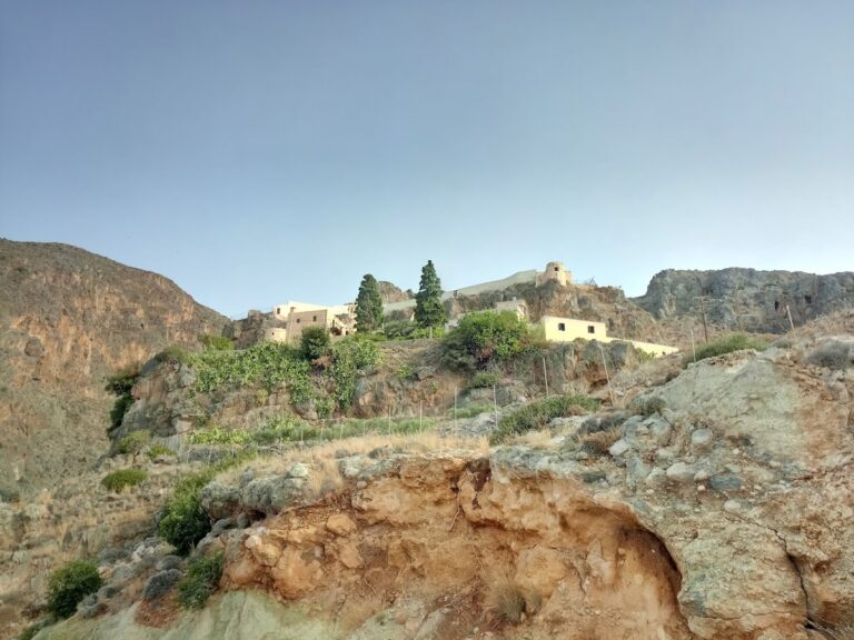
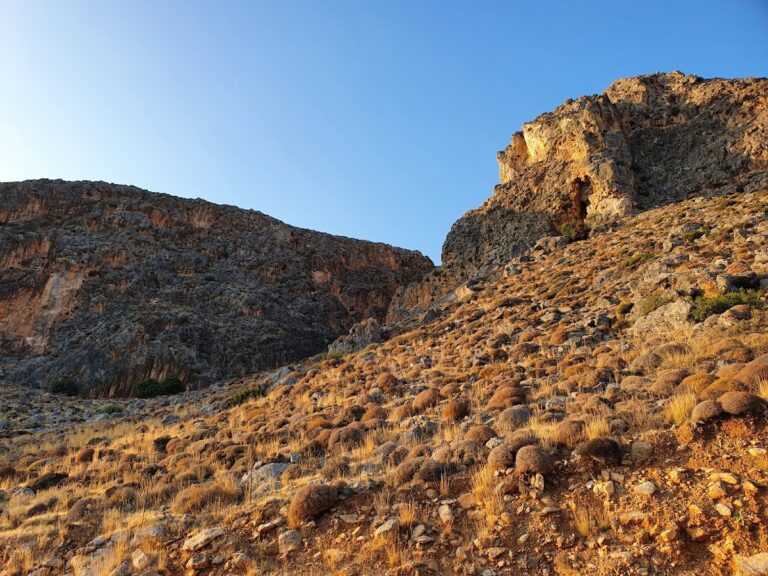
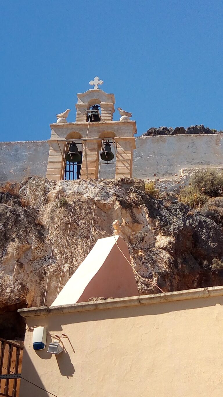
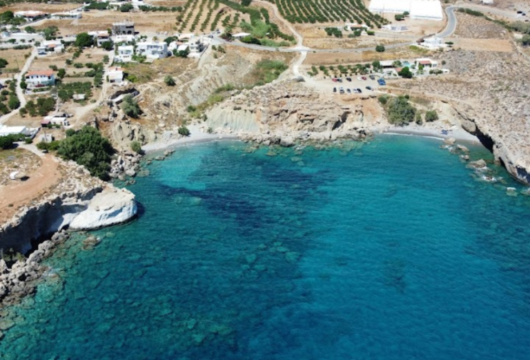
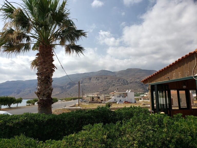
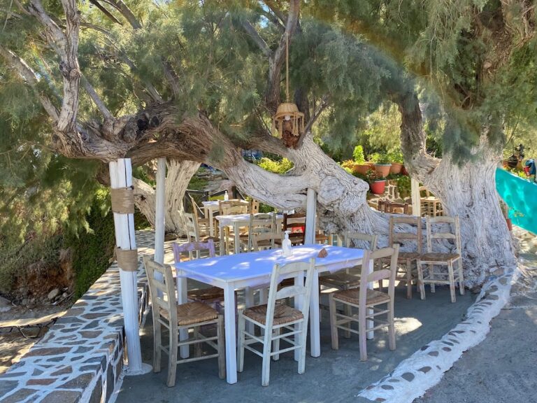
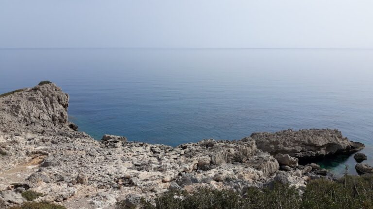
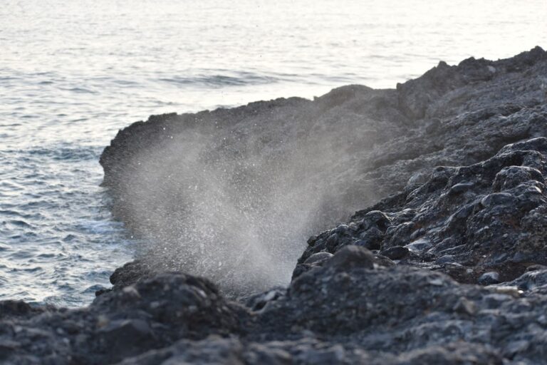
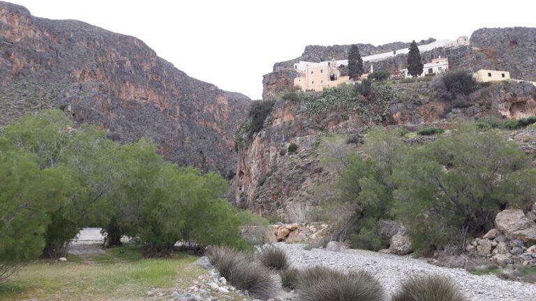
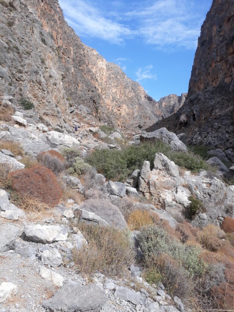
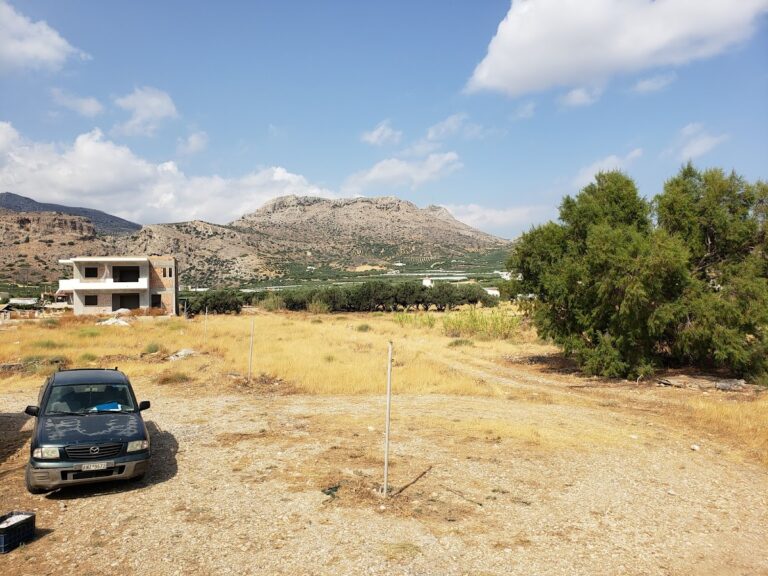
Kalo Nero, a small village nestled in one of eastern Crete’s most rugged terrains, is situated near Kapsa Monastery, 68 km south of Agios Nikolaos and 33 km east of Ierapetra. This village is positioned at the exit point of a rocky canyon. You’ll find the Panagia church (1881) here, built by the Pervolakia village residents for their winter stay when they brought their livestock for grazing. This church was built over an older chapel from 1461, which belonged to Kapsa Monastery.

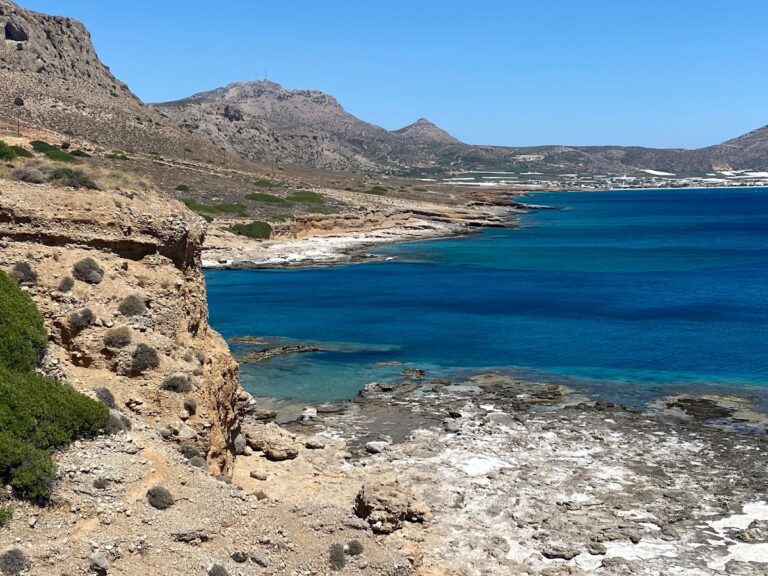
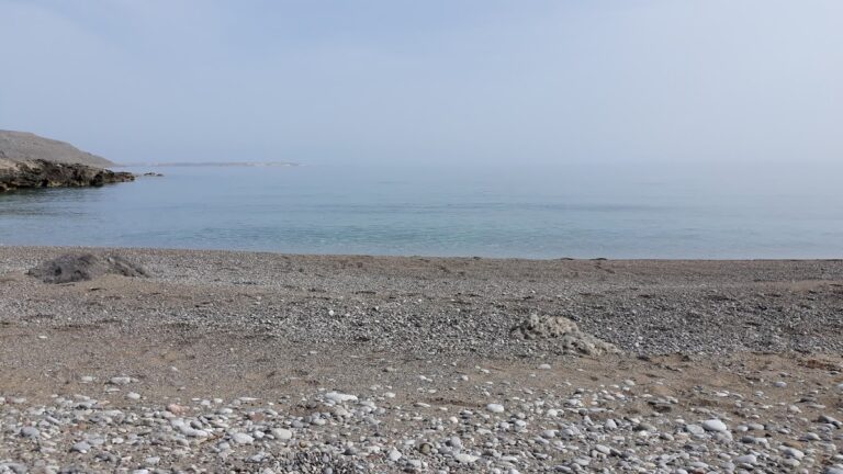
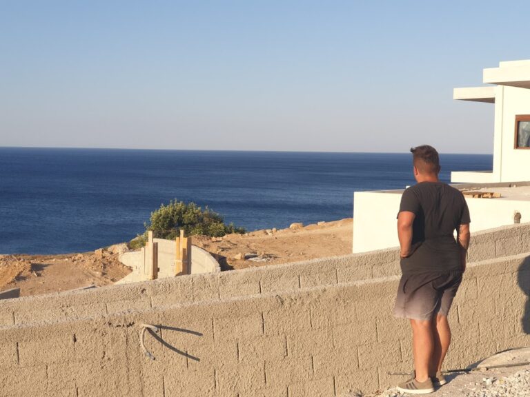
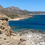
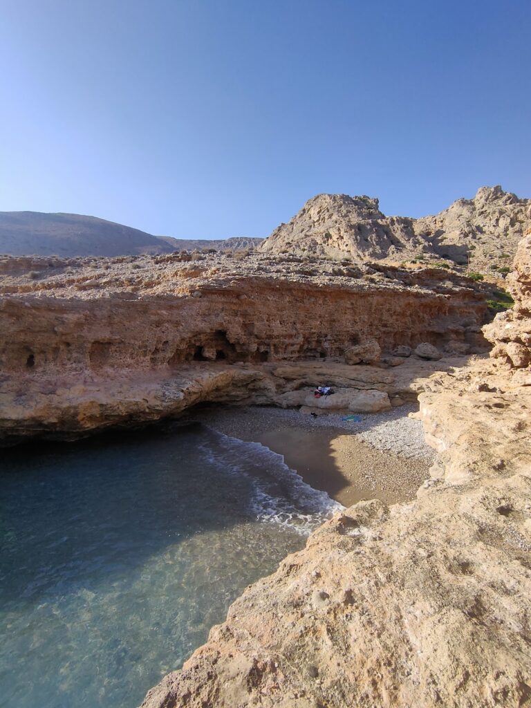
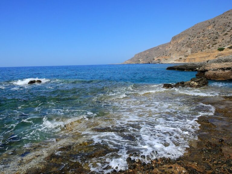
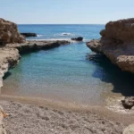
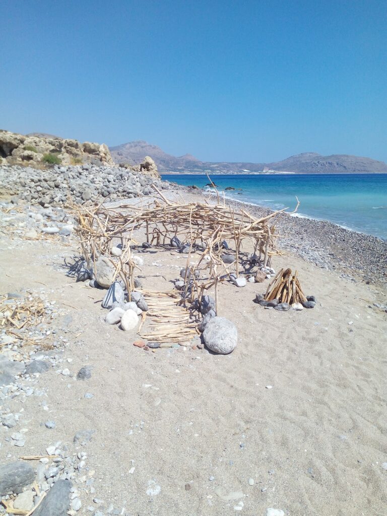
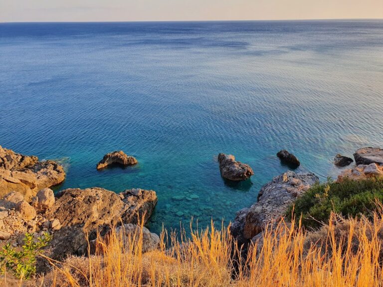
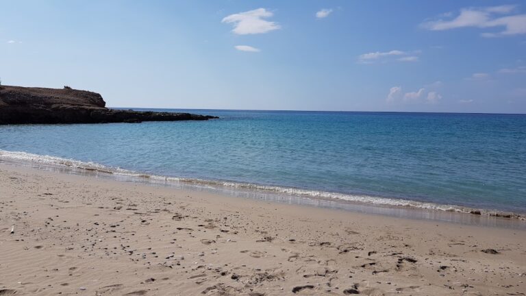
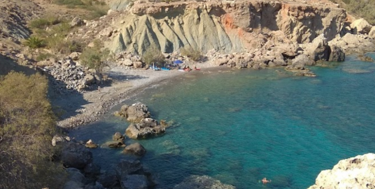
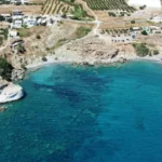
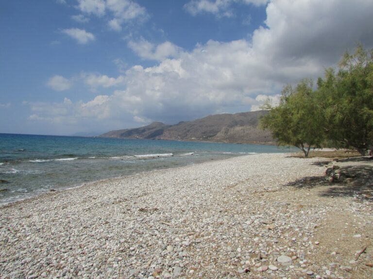
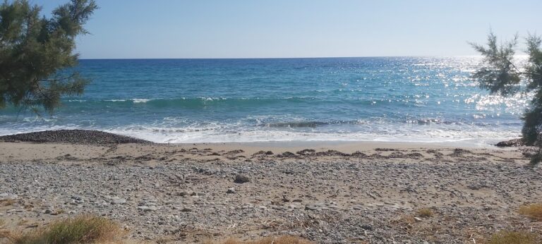
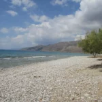
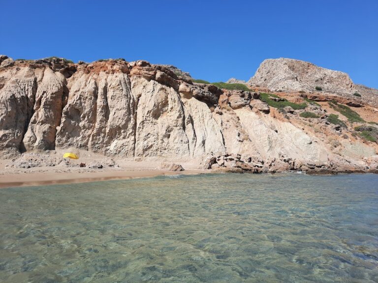
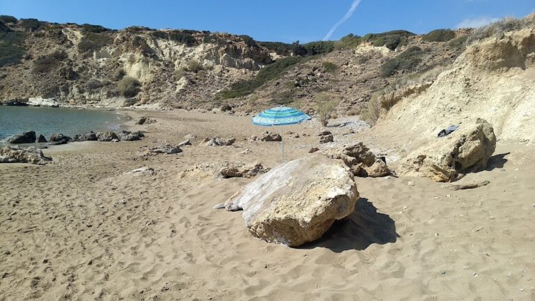
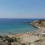
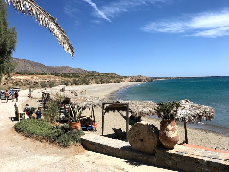
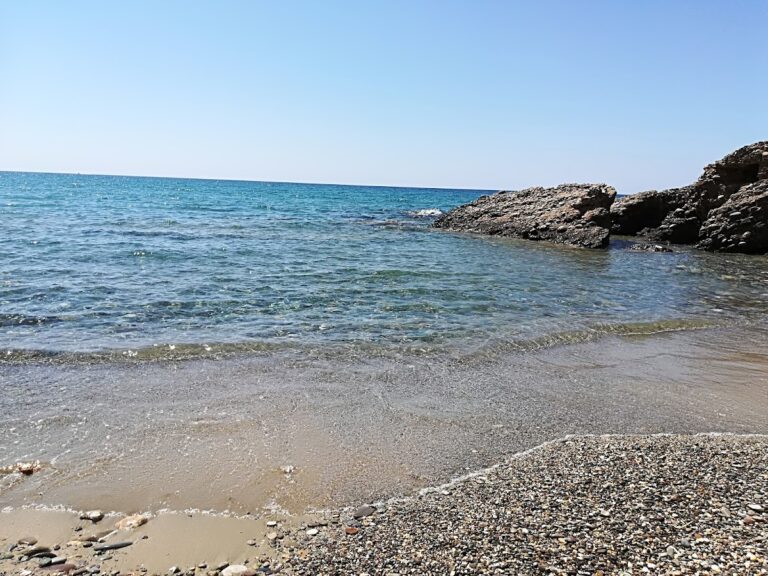
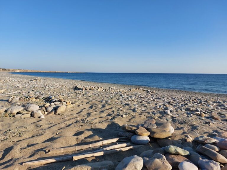
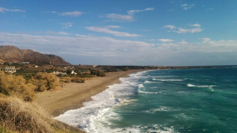
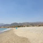
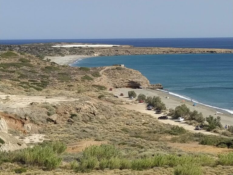
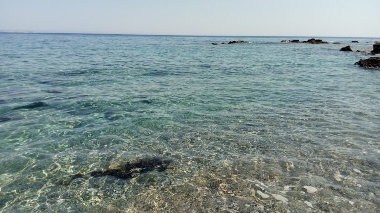
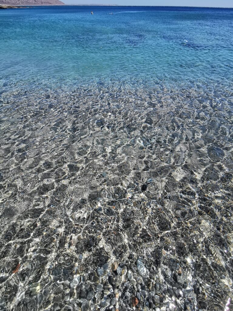
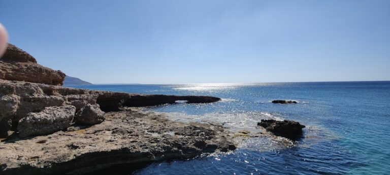
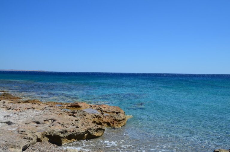
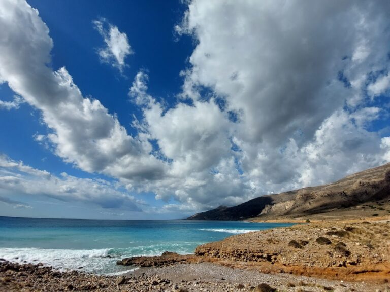
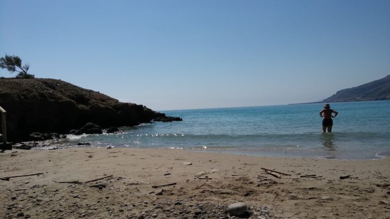
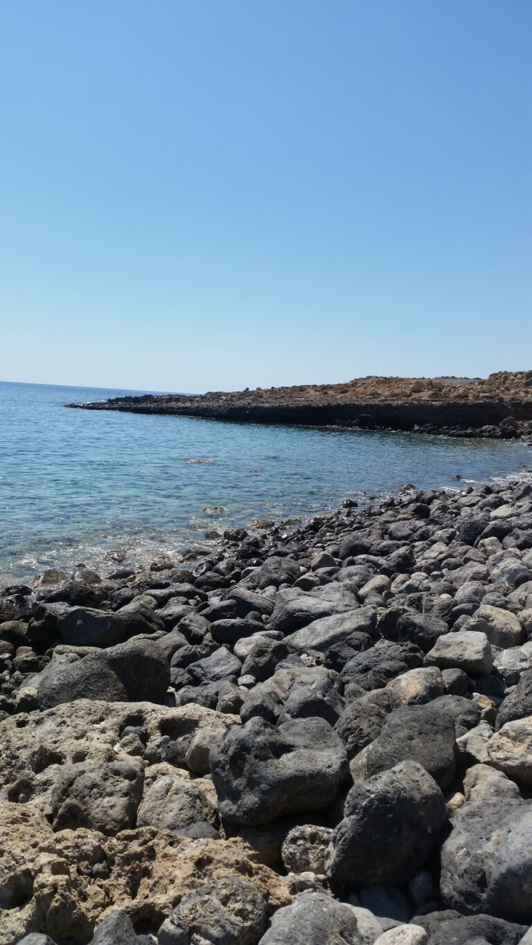
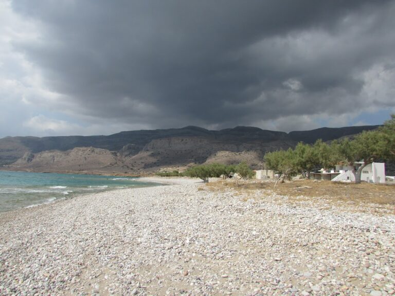
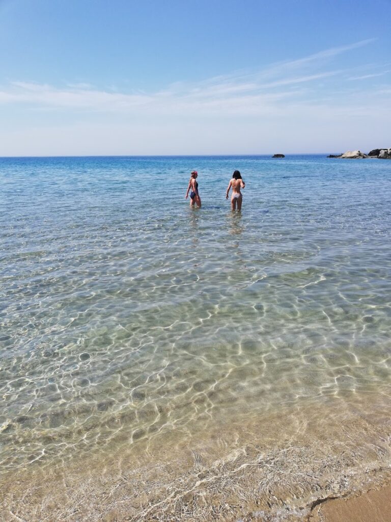
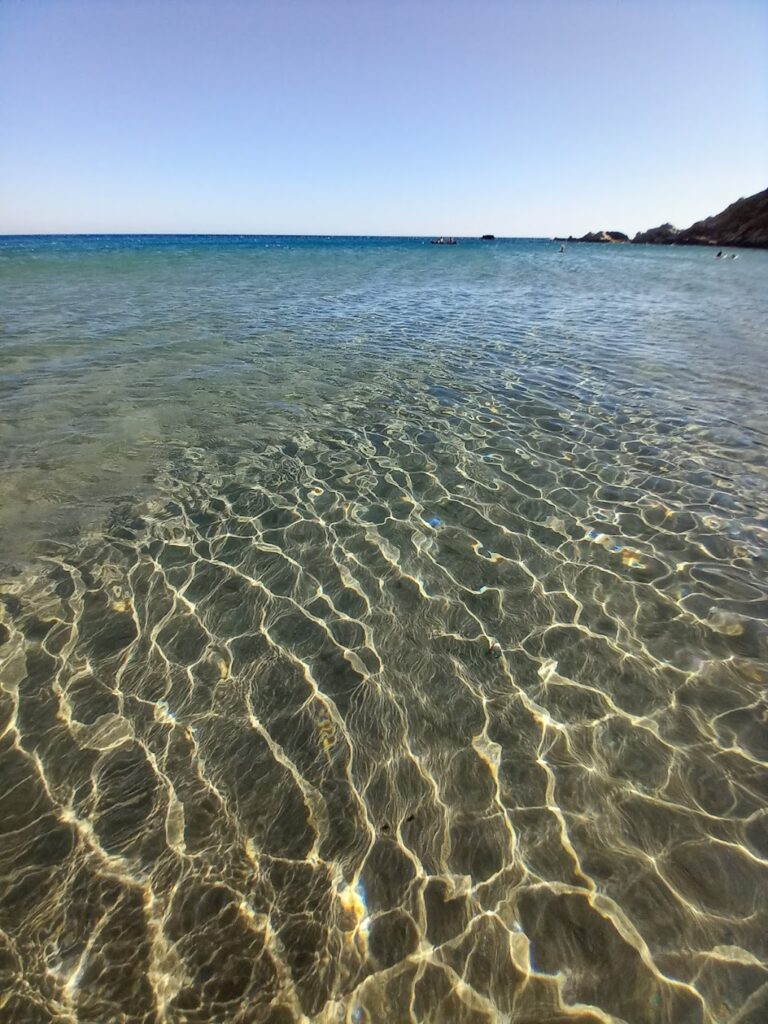
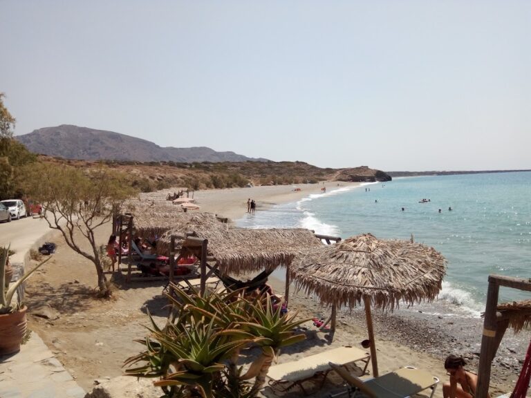
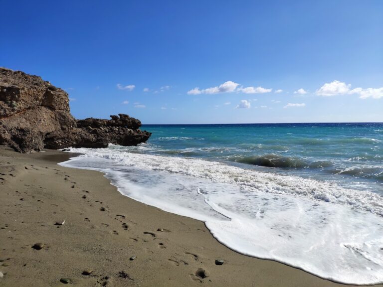
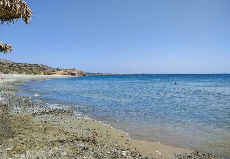
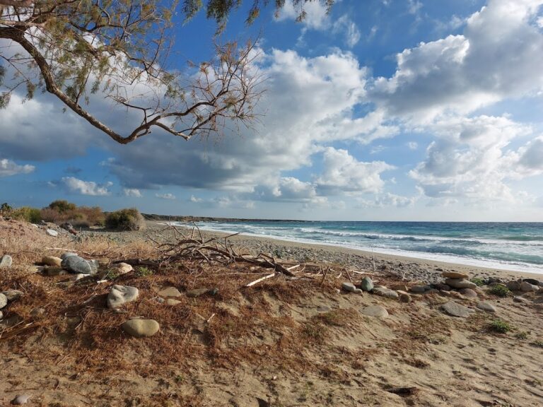
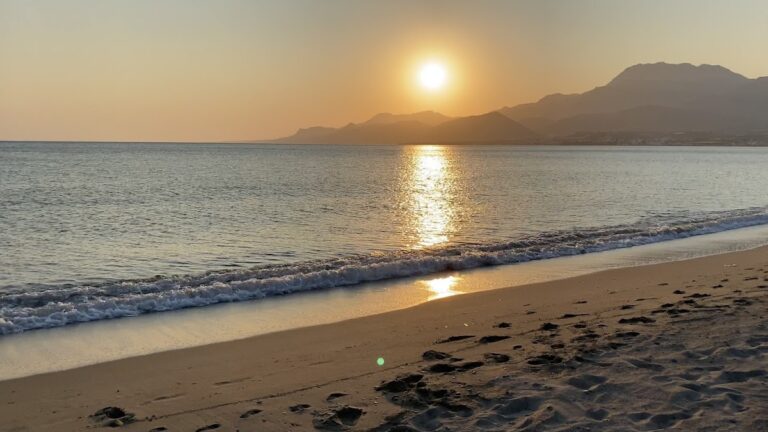
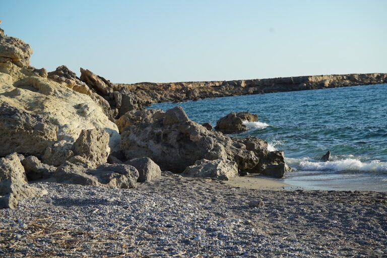
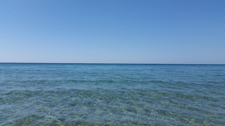
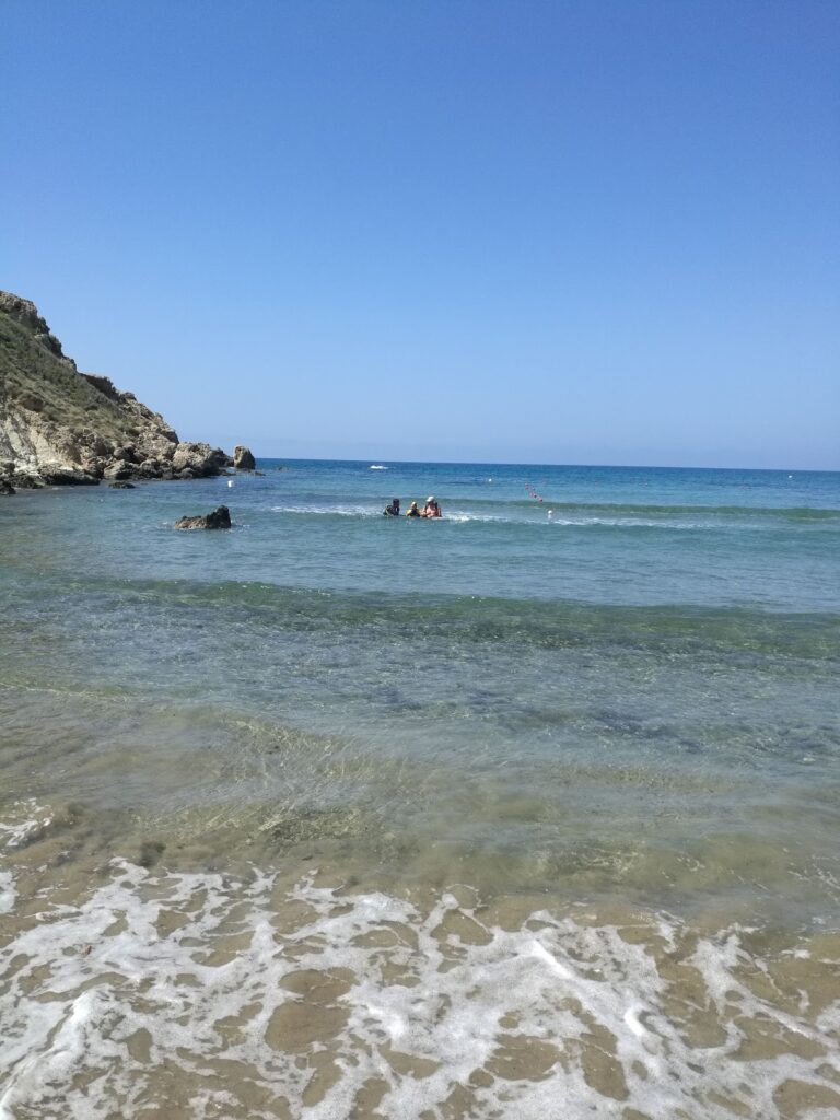
The village is home to numerous freshwater springs, hence its name Kalo Nero, meaning Good Water; quite unusual for such a dry region. This place offers three secluded beaches perfect for a quiet swim. The first beach, Koutsounari (not to be confused with the Koutsounari near Agios Ioannis), is accessible by a short trail. This isolated beach has pebbles and clear water, with large rocks scattered on the seabed in certain areas.

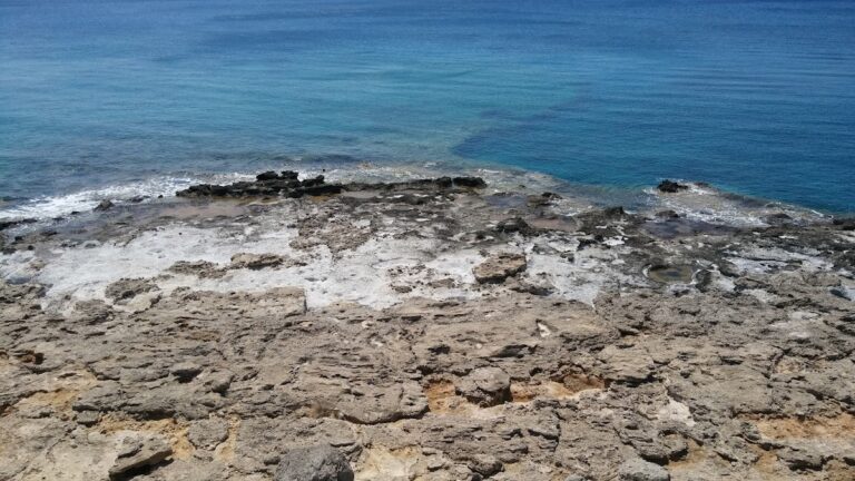
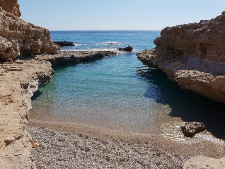
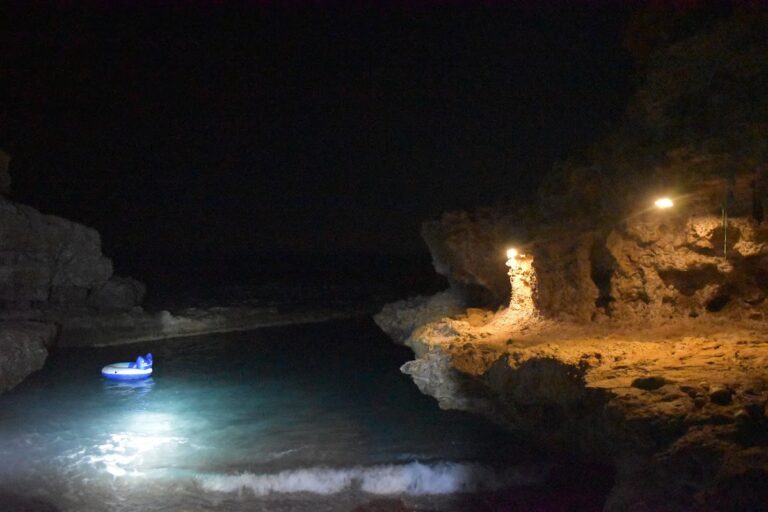
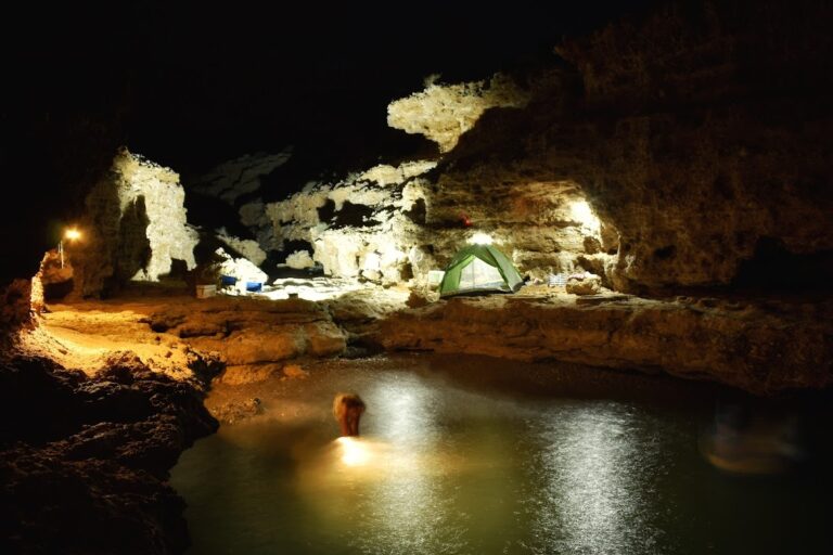
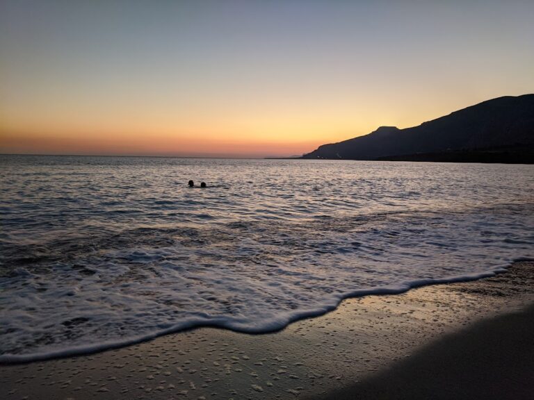
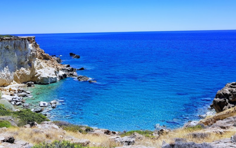
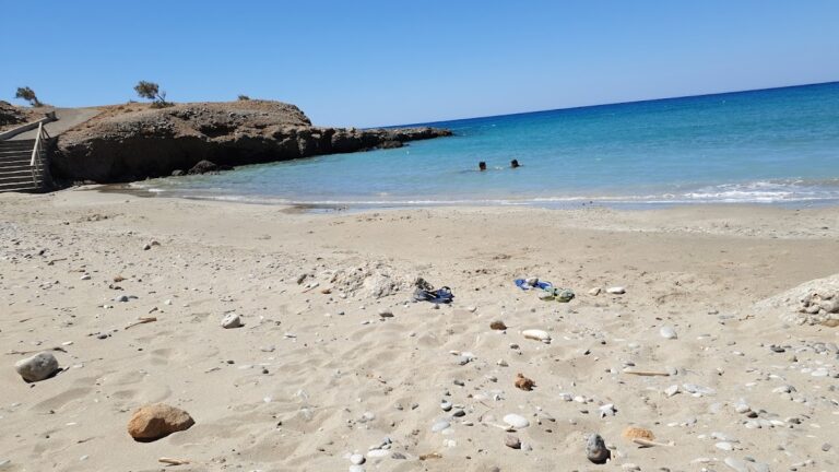
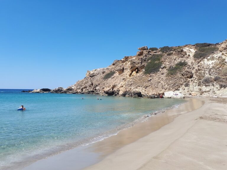
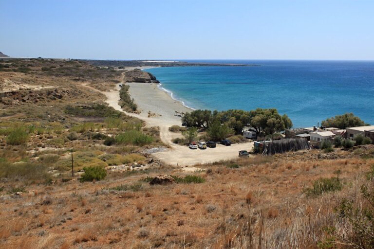
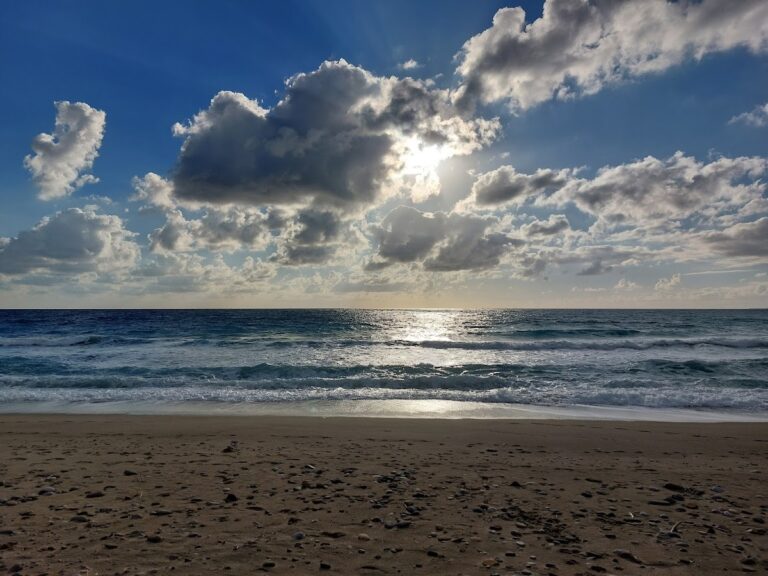
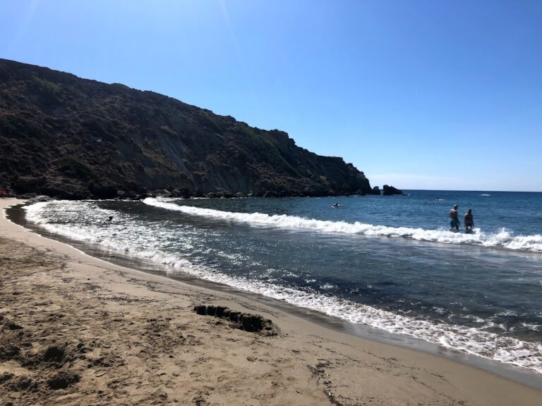
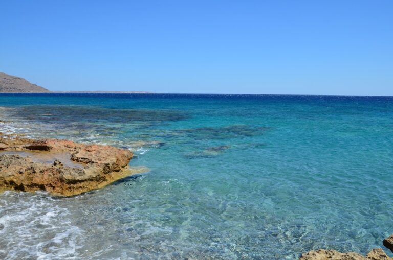
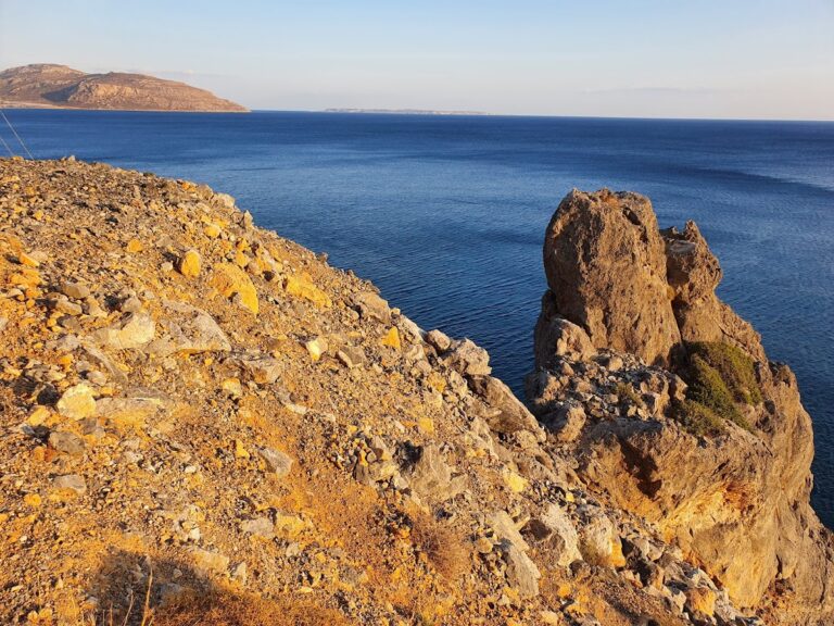
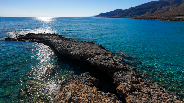
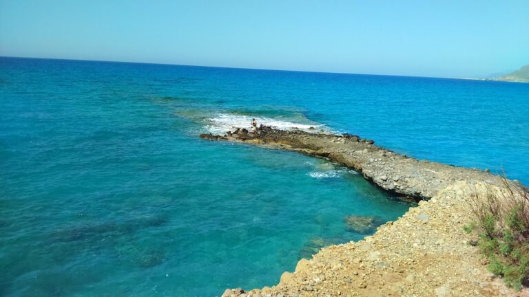
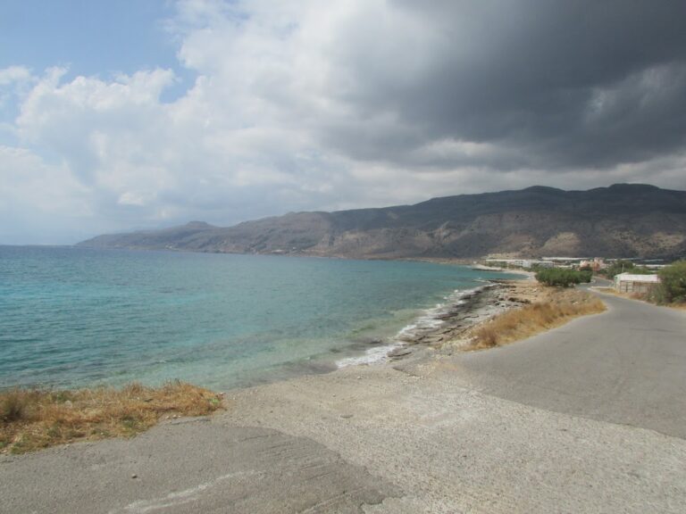
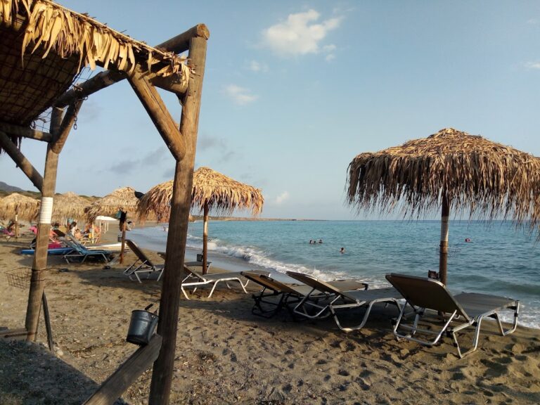
Staousa, the main beach, is separated from Koutsounari by a few rocks. It’s a beautiful spot with fine pebbles and turquoise waters, its highlight being a large cave on the east side that’s on the verge of collapse. Fresh water drips from the cave walls, and access to this beach is simplified by a concrete path with stairs built by locals.

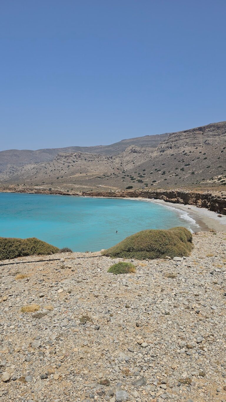
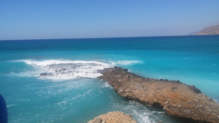
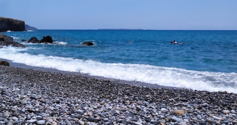
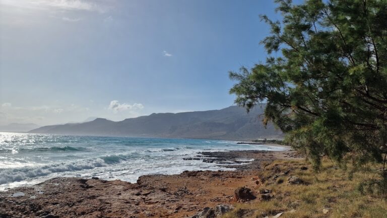
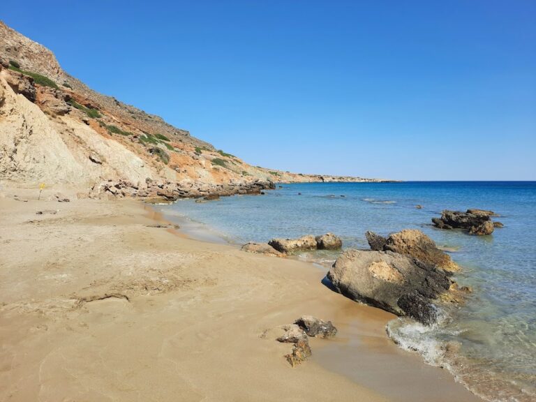
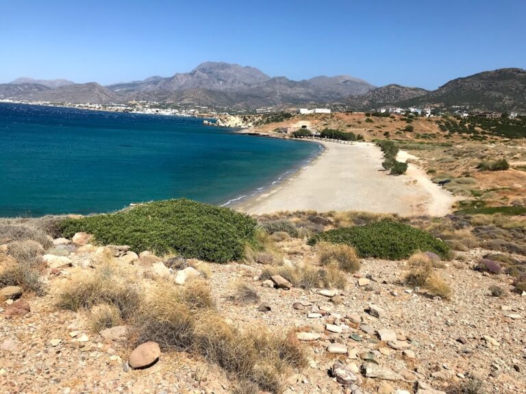
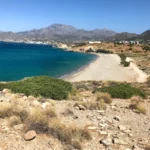
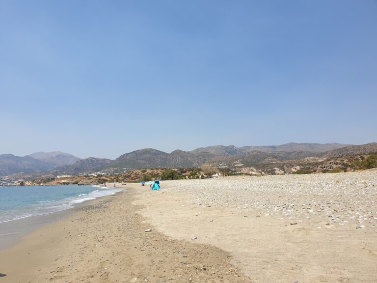
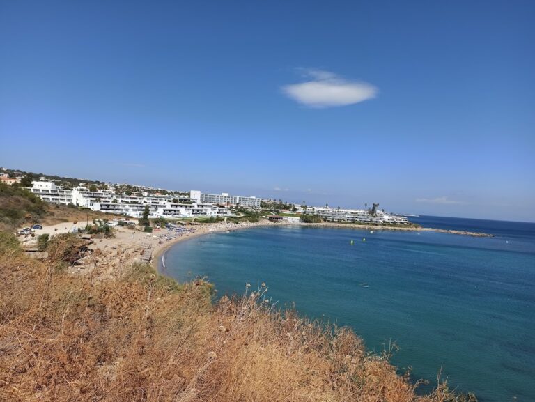
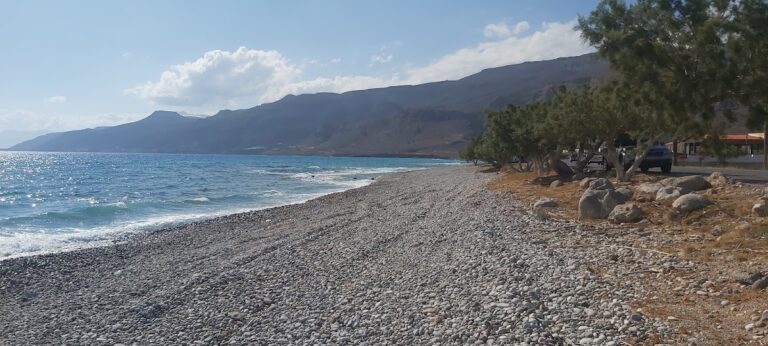
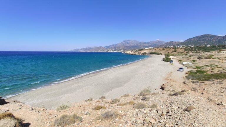
The third beach, Angelou, primarily serves as a local boat harbour, safeguarded from southwesterly winds. It’s a serene spot with small pebbles and rocks on the seabed. The rugged mountainous backdrop perfectly complements the picturesque boats and the blue sea’s hues.

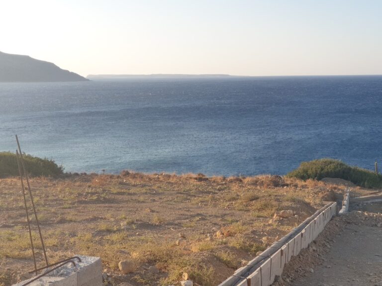
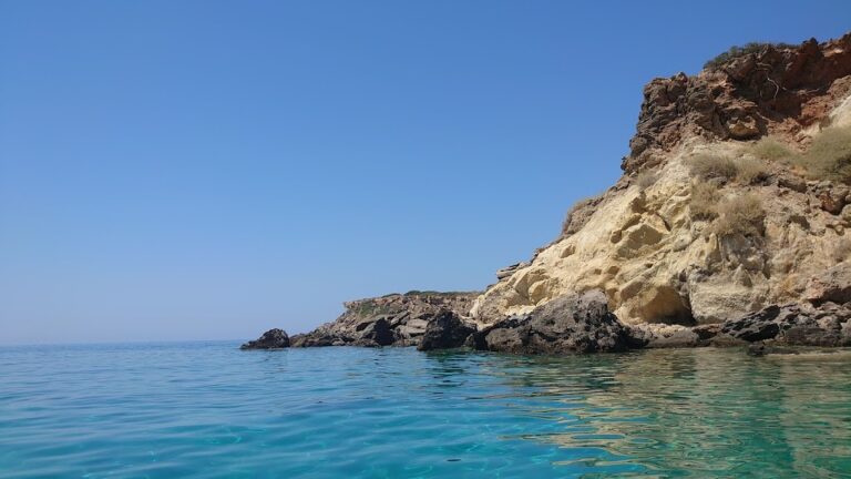
Just 150m west of Kalo Nero lies the small Lygidi settlement at the cape of the same name, surrounded by small olive groves. A narrow bay with a western orientation is formed at the exit of a small stream. This bay hosts the lesser-known rocky beach, Mikro Limanaki (Little Harbour), which is easily accessible but hidden from the main road’s view.

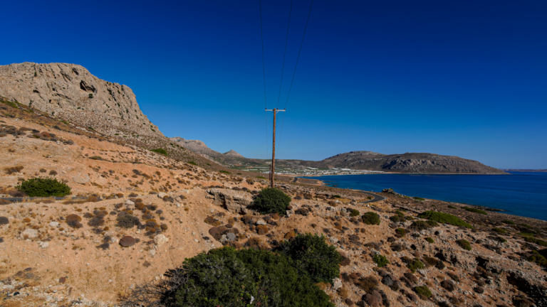
You can reach Kalo Nero from Makrigialos via the road leading to Goudouras. Alternatively, there is a bus service from Ierapetra to Goudouras; however, do check the bus timings.

  • 9.3 km
  • Goudouras beach
  • Fine Pebbles, Pebbles
  • Normal
  • Blue

Goudouras, a coastal village, is nestled 37km to the east of Ierapetra and 73km southeast of Agios Nikolaos. It is situated in a vast valley surrounded by untamed mountains and inaccessible canyons. Goudouras is essentially an amalgamation of two settlements, Asprolithos and Goudouras. Positioned near the edge of Cape Goudouras, formerly known as Cape Erythrae, the village takes its name from the cape. The name Goudouras is derived from the local plant “agoudouros” (Hypericum triquetrifolium), which is abundant in the area and was traditionally used as a base for drying fruits like figs and raisins. The region’s extremely warm climate is conducive to cultivating olives and greenhouse vegetables, although this has unfortunately impacted the area’s natural beauty.

Tourism development in the village has been mild, resulting in a serene and peaceful destination even during the peak month of August. A road runs alongside the coastal village, leading to a large pebbly beach with clean, cool water. While it’s not heavily organized, there are spots with umbrellas and nearby taverns. We recommend visiting the neighboring Votsalaki beach, located to the west. To reach Goudouras from Ierapetra, take the road to Makrigialos and then turn towards Goudouras. There are also bus services from Ierapetra to Goudouras.

Within Goudouras, you’ll find the stone-built Church of the Ascension. From here, you can journey to the charming village of Agia Triada, situated 8km north, where you can take in the enchanting beauty of the wild Cretan countryside and ancient olive groves. Afterwards, head to Ziros and Xerokambos and unwind on the seemingly endless golden beaches.

  • 9.5 km
  • Ammoudi beaches
  • Sand
  • Shallow
  • Blue

Ammoudi, situated 66km southeast from Agios Nikolaos and 29km east from Ierapetra, lies adjacent to the thoroughfare linking Makrigialos to Goudouras. The prominent beach in this vicinity, known as Spilia Drakou (Dragon’s Cave), owes its name to a massive cave situated 500m north of the beach and the identically named tavern next to it. Two additional secluded coves lie to the west of Dragon’s Cave beach, accessible either on foot or via a dirt track.

The beaches, hidden jewels not easily visible from the road, boast beautiful golden sand. To find the beach, you must halt upon spotting the Dragon’s Cave tavern and tread the narrow path leading to the sea, a short 3-minute walk. The secluded area is a perfect spot for families, however, it is not suitable for naturism as many locals frequent this place with their families. For more seclusion, you could stroll to the nearby coves to the west. The beaches are encompassed by towering cliffs and smooth white limestone rocks, with sandy seabeds.

In the absence of a car, you could avail the bus service that runs between Ierapetra and Goudouras, keeping in mind that the frequency of buses is not high. Therefore, ensure you are well-versed with the exact routes before embarking on your journey.

The cliffs in the area offer healthful clay that can be mixed with water and applied to the skin, serving as a natural spa when left to dry.

  • 9.7 km
  • Diaskari beach
  • Sand
  • Normal
  • Blue

Diaskari, situated 27km to the east of Ierapetra and 62km southeast of Agios Nikolaos, is in close proximity to Makrigialos, about 4km away. This extensive beach features rough light sand and crystal-clear water. However, caution is advised when entering the water due to the presence of slick rocks in certain areas.

Diaskari is a tranquil beach that offers a secluded atmosphere. The western end is home to a small cluster of tamarisk trees, a tavern, and a few umbrellas. This section is the most populated area of Diaskari, marking the end of the road that begins at the eastern exit of Makrigialos. For those seeking solitude, the eastern side of the beach is the ideal spot.

Following Diaskari, the expansive beach of Lagada is even more secluded. In 1972, archaeologists discovered a late Minoan settlement with significant architectural structures on a hill to the north of Diaskari.

The beach’s name, Diaskari, originates from the sanctuary of the Dioscuri, which was constructed on the hill that separates it from Lagada beach to the south.

  • 9.7 km
  • Lagada beach
  • Sand
  • Normal
  • Blue

Lagada, positioned 29km to the east of Ierapetra, 62km southeast of Agios Nikolaos, and 6km east of Makrigialos, nestles within a verdant valley rich with olive groves and flanked by the towering Thripti mountains. In recent years, the area has seen the development of a few hotels and rental properties, yet the beach has managed to maintain its secluded charm.

To reach Lagada from Makrigialos, travel along the Sitia road and look out for the signs for Moni Kapsa. Within 500-800m, you’ll spot numerous greenhouses with the expansive Lagada beach to your right. Several roads starting near the greenhouses will lead you straight to the beach.

Lagada’s beach is characterized by its small pebbles and crystalline water. It’s entirely unpopulated and devoid of any facilities, making it a perfect getaway for naturists and campers. There are a handful of spots with tamarisk trees for shade. Towards the west, the Andromilos torrent cools the water. The beach, which is exposed to the southern winds, is recognized as an excellent spot for windsurfing in Crete, despite the rocky seabed posing some risks.

  • 9.9 km
  • Lagoufa beach
  • Sand
  • Shallow
  • Blue

Lagoufa, situated just beyond the easternmost point of Makrigialos main beach, is located about 59km southeast of Agios Nikolaos and 24km east of Ierapetra. It is composed of two neighboring coves close to the upscale hotels of Makrigialos. The first cove boasts fine golden sand and shallow, azure waters, and is well-equipped with amenities such as umbrellas, bars, showers, and water sports facilities, courtesy of the nearby hotel. Despite its seemingly private nature, the beach is accessible to all as there are no privately owned beaches in Greece.

Entry to the Lagoufa beaches can be gained either via the hotels or by traversing the rocky eastern edge of Makrigialos beach, a journey that requires a brief walk through shallow waters. From the first cove, a wooden walkway leads to the beach furthest east. Below this walkway, tiny beaches have formed in the rocky limestone, and in certain areas, fresh water can be seen seeping from the rocks or sand.

© All rights reserved. Crete Locals