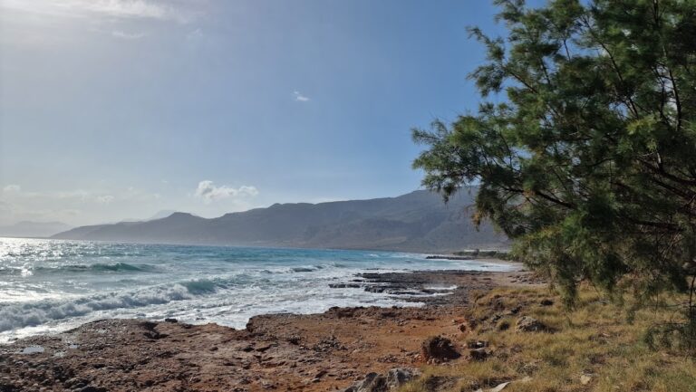
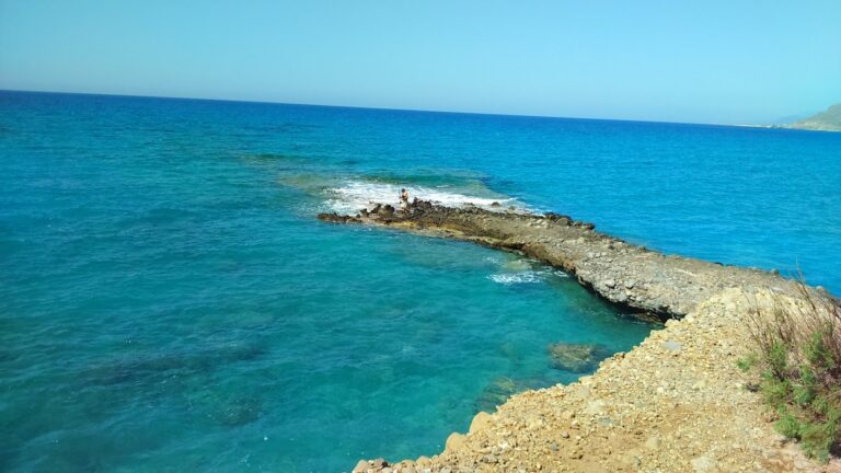
The Heromilia beach, situated in the Agia Triada region of Sitia province (also known as Tso), is just a 2km journey eastward from the Atherinolakkos Power Station. It holds the distinction of being the most western beach of the Livari beaches.
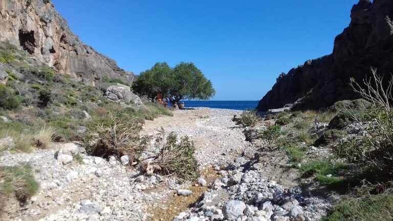
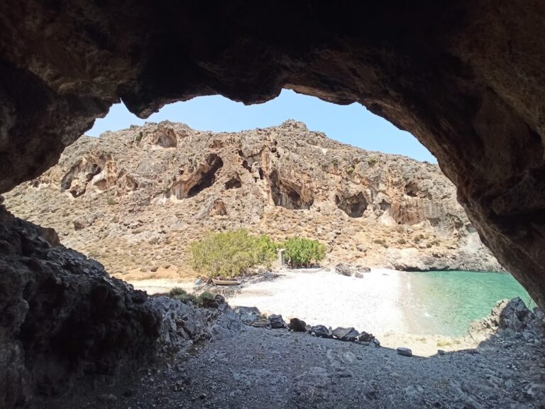
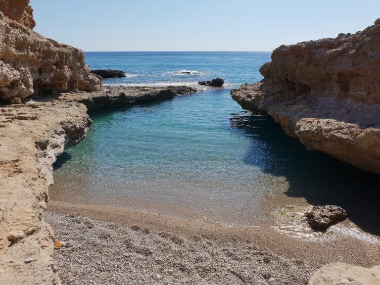
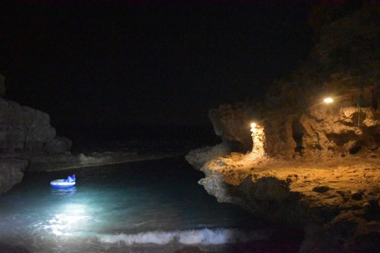
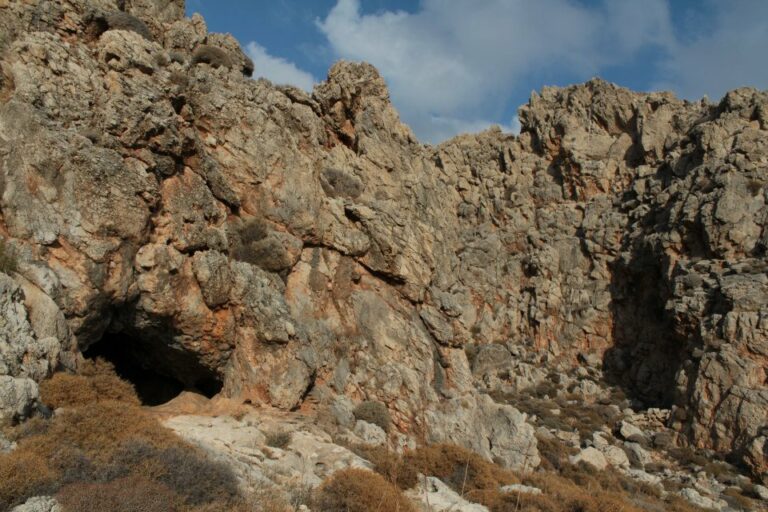
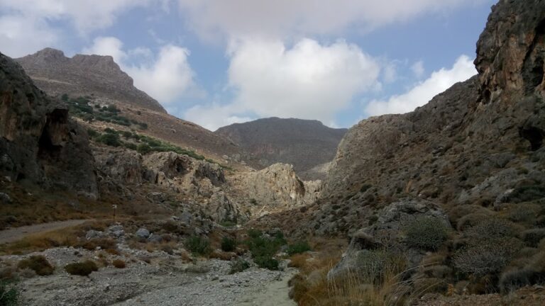
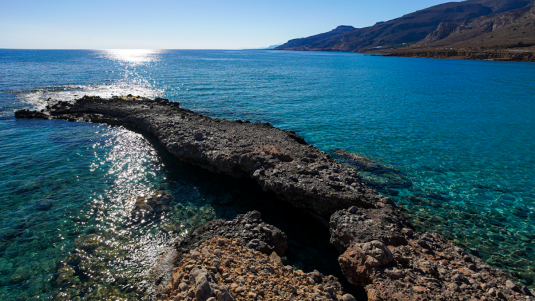
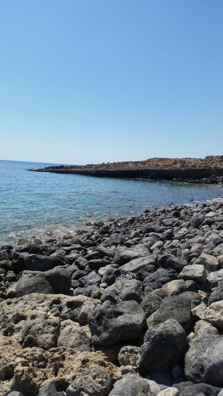
The beach forms at the mouth of the compact canyon Tripiti. The canyon derives its name from a unique hollow rock that stands a few meters north of the coastline; ‘tripiti’ translates to “with a hole.”
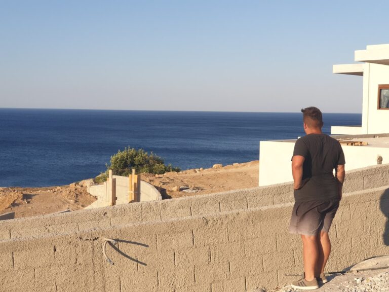
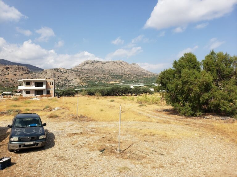
To reach the beach, one must descend from the summer residences of Agia Triada’s inhabitants towards the stream and then walk towards the sea. These are the first houses one encounters before reaching the main beach of Livari.
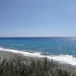
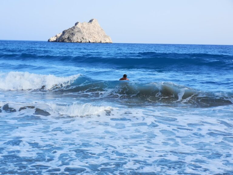
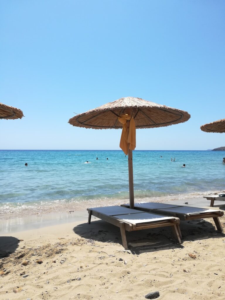
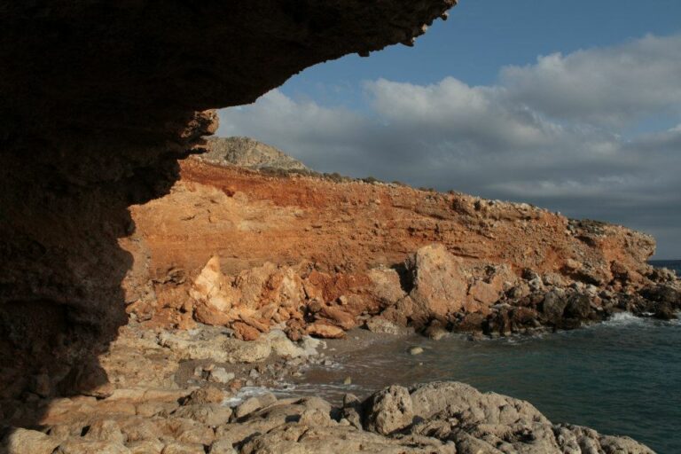
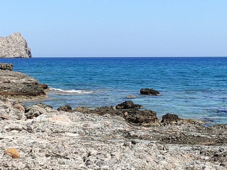
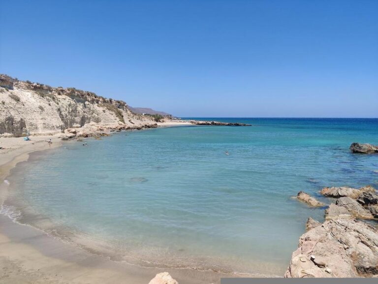
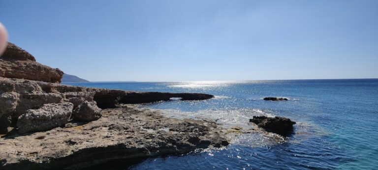
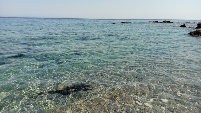
The small beach boasts clear blue waters and fine pebbles. However, its allure is somewhat marred by the Atherinolakkos Power Station. Despite this, the sea remains pristine, and the factory smoke only reaches the beach when the winds blow from the west.
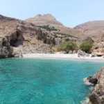
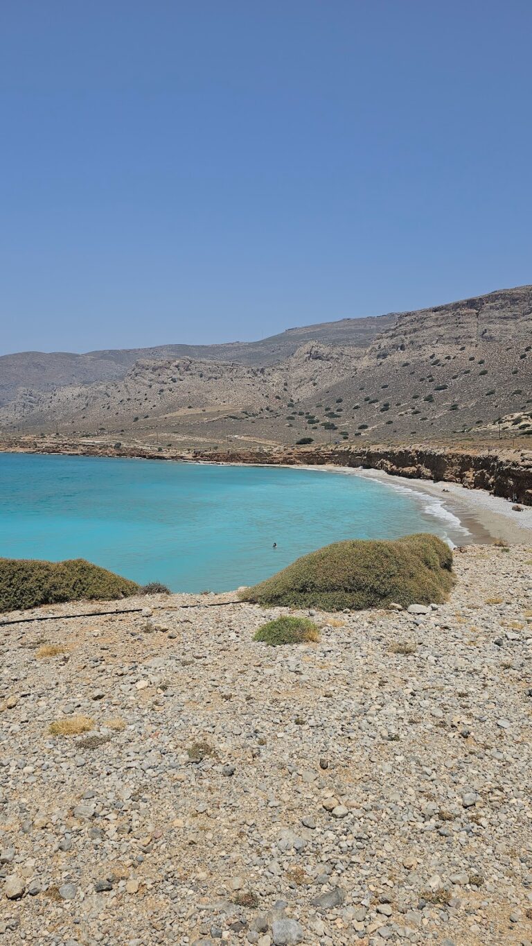
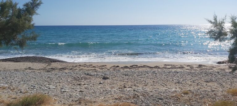
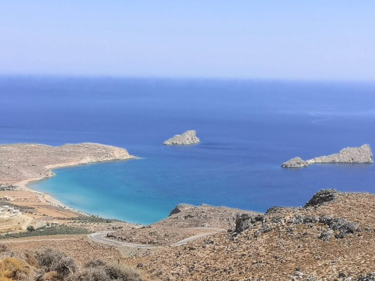
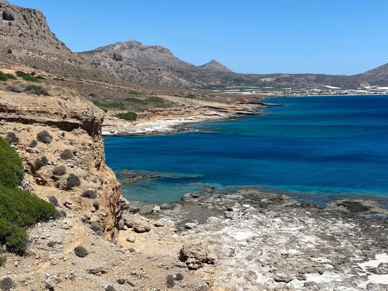
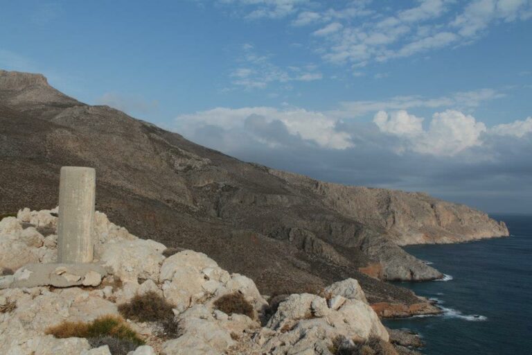
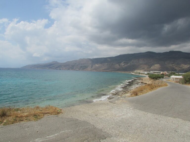
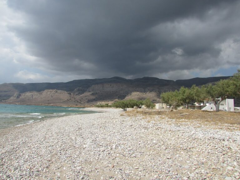
Livari, a secluded area situated 90km southeast of Agios Nikolaos and 7km east of Goudouras on Crete Island, is often a solitary spot. Just 2km east stands the power plant of Atherinolakkos, the only blemish on the otherwise pristine landscape. Livari boasts two pebbly beaches and numerous small coves, perfect for those seeking privacy or practicing naturism. While there is a lack of shade, a few tamarisk trees on the east Livari beach offer some relief.
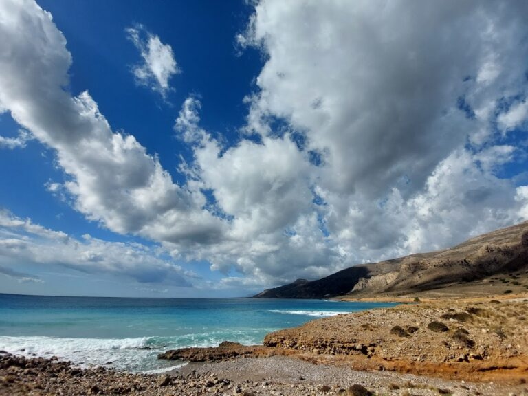
Swimming in Livari is a unique experience, offering stunning views of the surrounding wilderness, including barren mountains, steep canyons, and the exotic island of Koufonissi. In addition to Livari’s main beach, you can drive west past a small group of 3-4 cottages to reach the lengthy eastern beach of Vlyhada. The name Vlyhada, meaning a place with brackish water, comes from a year-round spring located nearby. The beach is bordered by a dirt road and tall reddish walls.
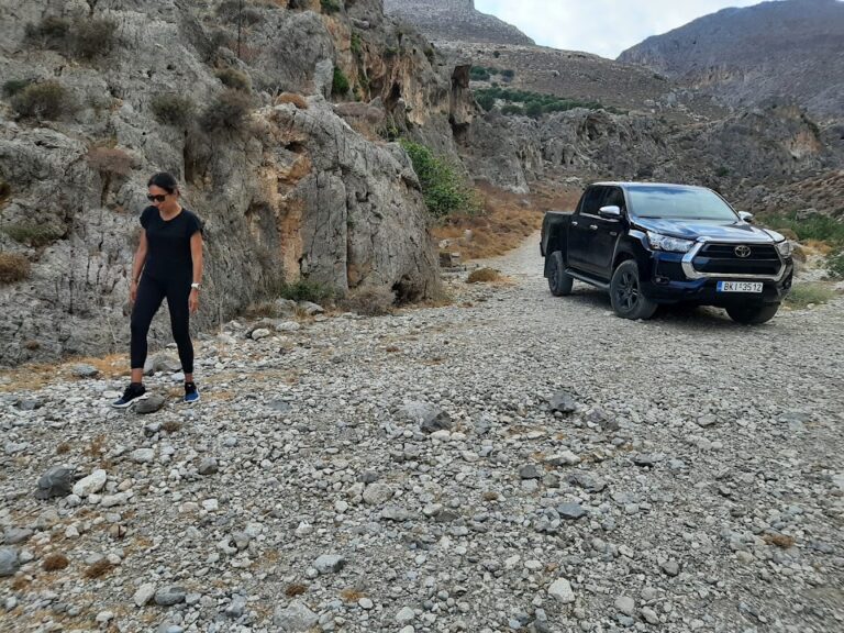
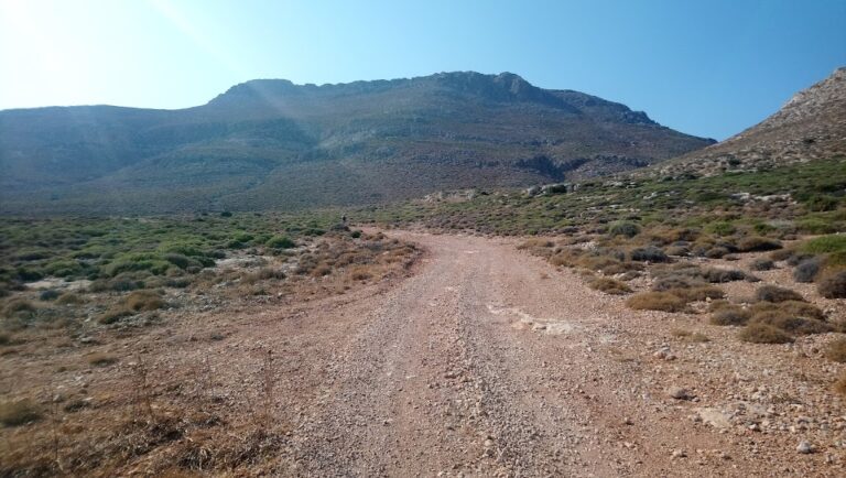
Getting to Livari from Goudouras involves taking the road to the Atherinolakkos power station. After 4km, you’ll reach a junction where the right road leads to the factory and the local fishing lodge. Instead of taking this route, continue straight to the village of Agia Triada for another 1km until you reach a junction on the right that leads to Livari beach. The road initially starts as a paved path but eventually transitions into a manageable dirt track.
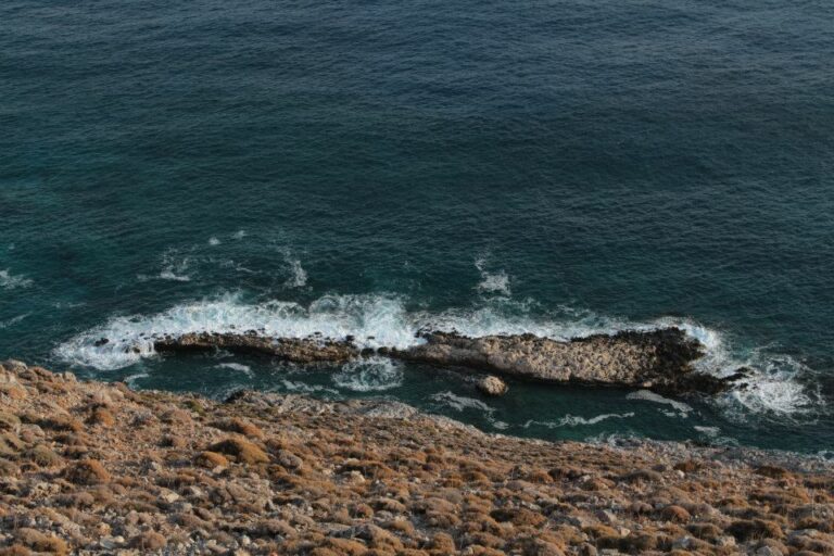
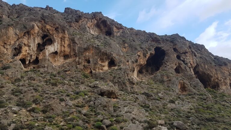
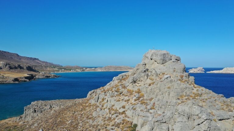
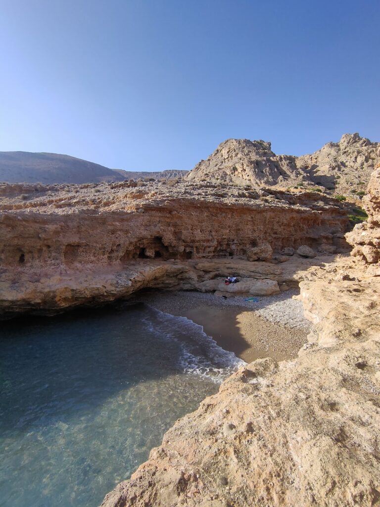
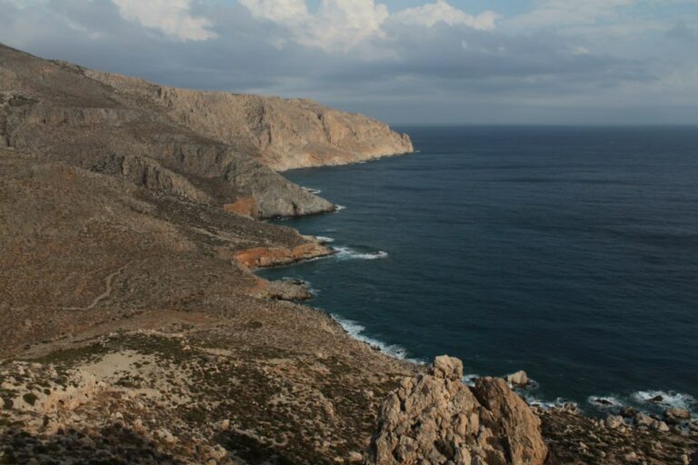
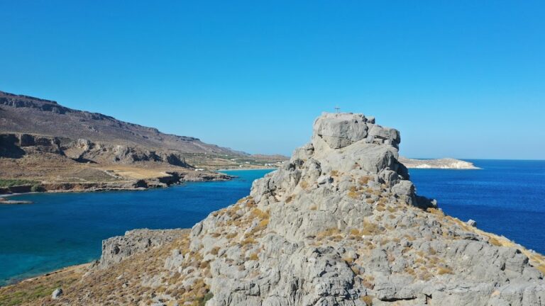
If you journey eastward from Vlyhada beach at Livari near Goudouras for about an hour, you’ll eventually stumble upon the two abandoned beaches of Tihida. The surrounding region is riddled with caves and features wall-like rock formations, hence the name Tihida (Greek for ‘wall’). These formations provide much-needed shade during the hot summer months. Further east of the smaller beach, you’ll encounter the expansive Tihida beach, which sits at the mouth of the Tihida Gorge and is somewhat challenging to access. Proceeding further eastward, you’ll discover the majestic, elongated Karavopetra rock emerging from the sea.
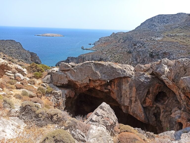
The quaint and secluded village of Agia Irini is nestled 98km southeast of Agios Nikolaos and 11km south of Ziros village. Accessible through dirt tracks originating from either Kalo Horio or Hametoulo, the village is the gateway to the rugged Agia Irini gorge, which leads to a hidden cove across from the tiny islet of Hamili.
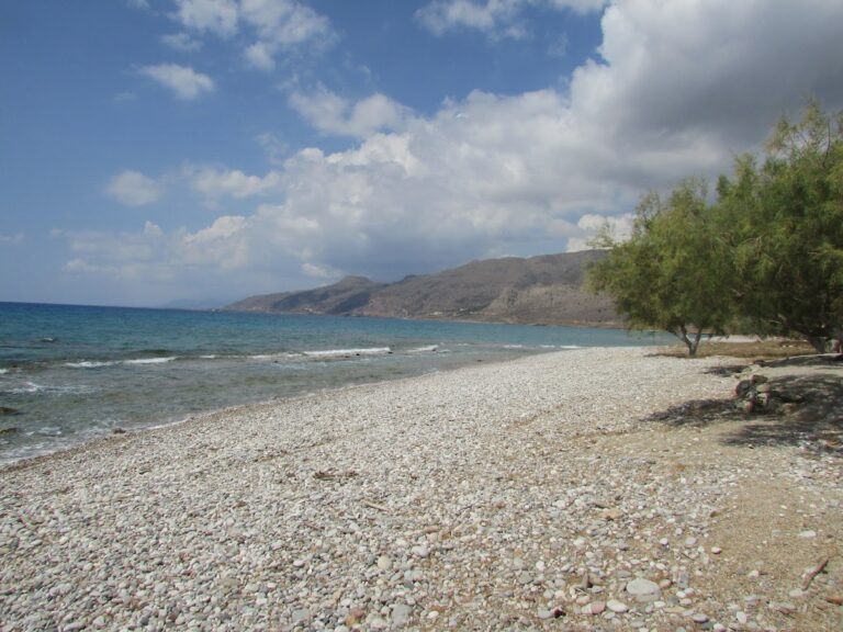
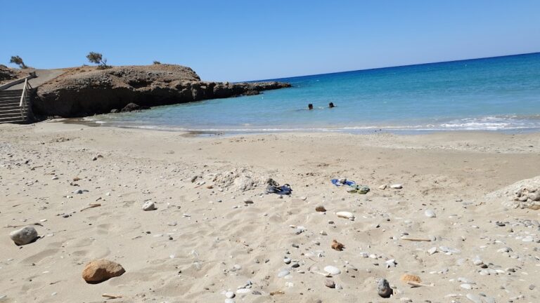
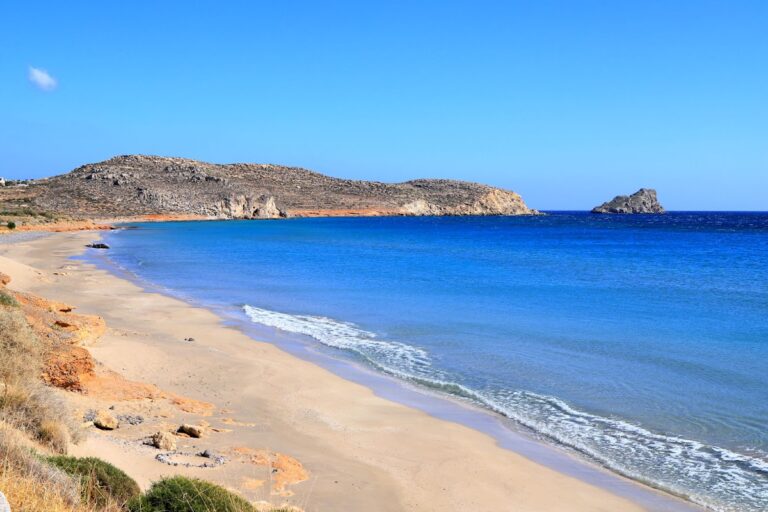
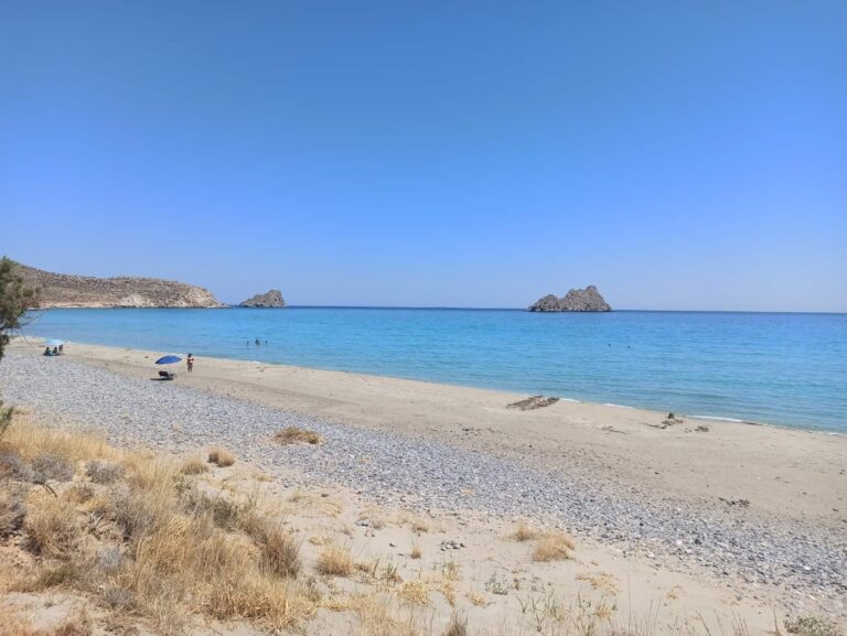
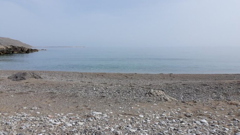
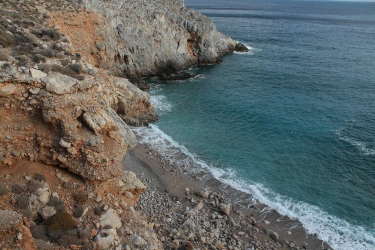
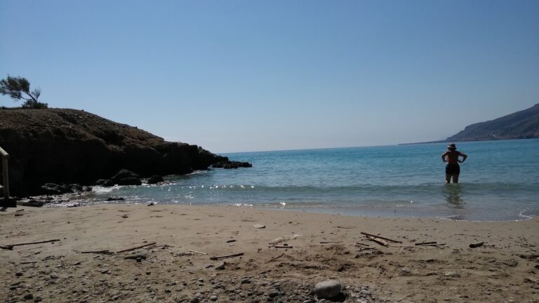
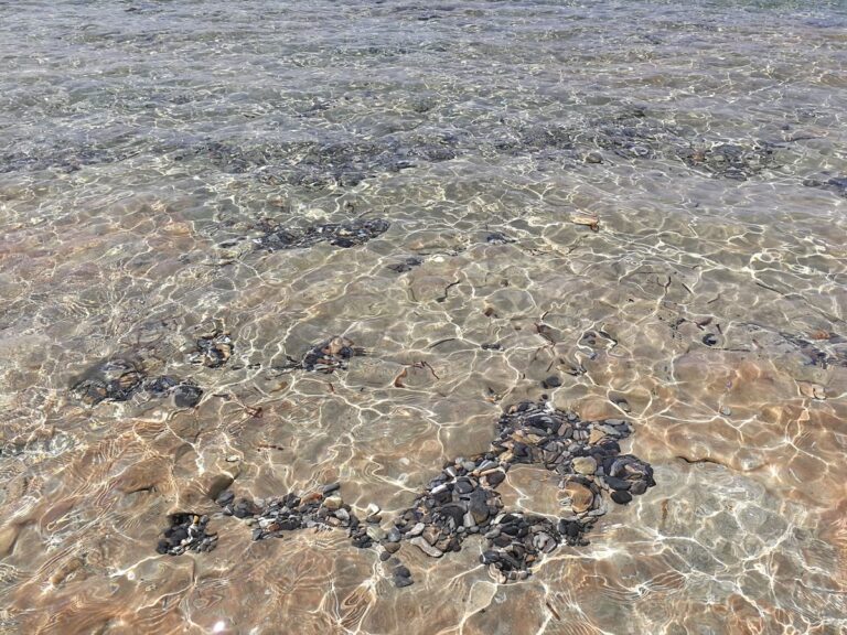
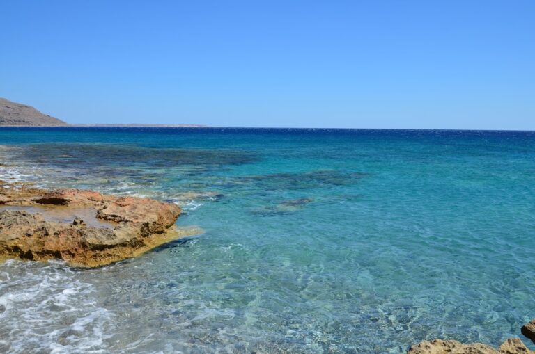
The beach boasts pebble shores and pristine blue waters, making it one of Crete’s most remote beaches. Its location away from bustling city centres, shrouded by towering cliffs and jagged rocks, makes it a serene escape. To reach this beach, one can either navigate the formidable gorge, drive along the dirt track from the village or sail by boat from Goudouras or Xerokambos. The beach is lined with tamarisk trees, offering a perfect spot for solitude. A trail also extends from Agia Irini Gorge to Xerokambos harbour.
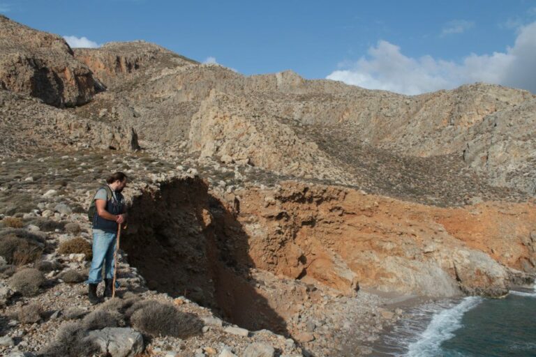
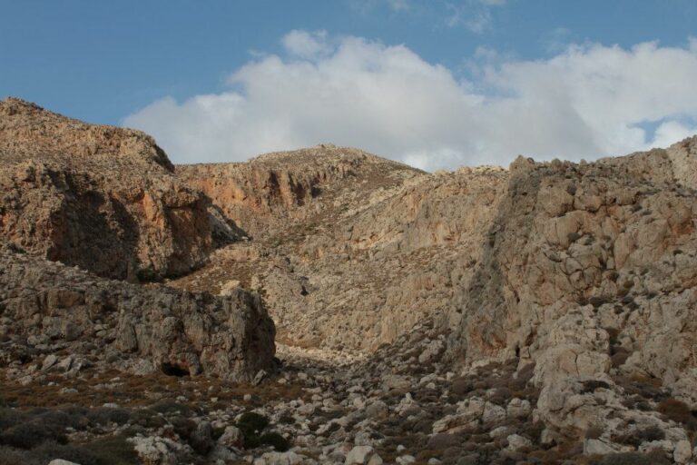
The Agia Irini gorge consists of two parallel canyons that converge near the sea, where the dirt road to the beach lies. The canyons, with their rocky terrain, steep inclines and towering walls, offer a wild and untamed landscape. The westernmost canyon, in particular, can be quite daunting and risky for inexperienced hikers. A hike through the gorge, starting at an altitude of 500m near the Hametoulo settlement and descending to sea level, can take between 2-3 hours and can be quite strenuous on the knees.
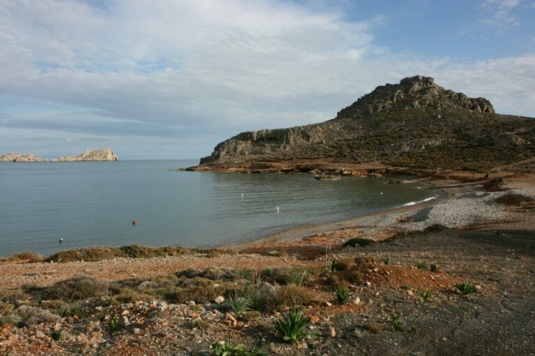
Votsalaki, also known as Botzalaki, sits 71km southeast of Agios Nikolaos and 36km east of Ierapetra, at the west end of Goudouras in a region known as Aspra Chomata (translating to white grounds in Greek). It is nestled within the dry and rugged terrain of Eastern Crete, conveniently situated near the Gorge Asprolithos exit.
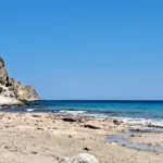
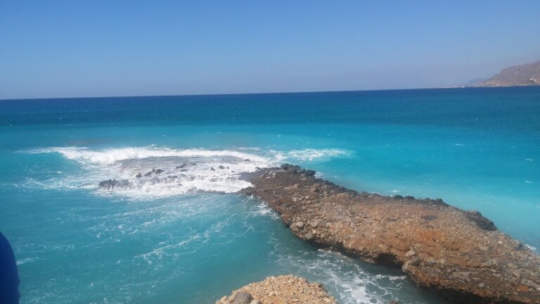
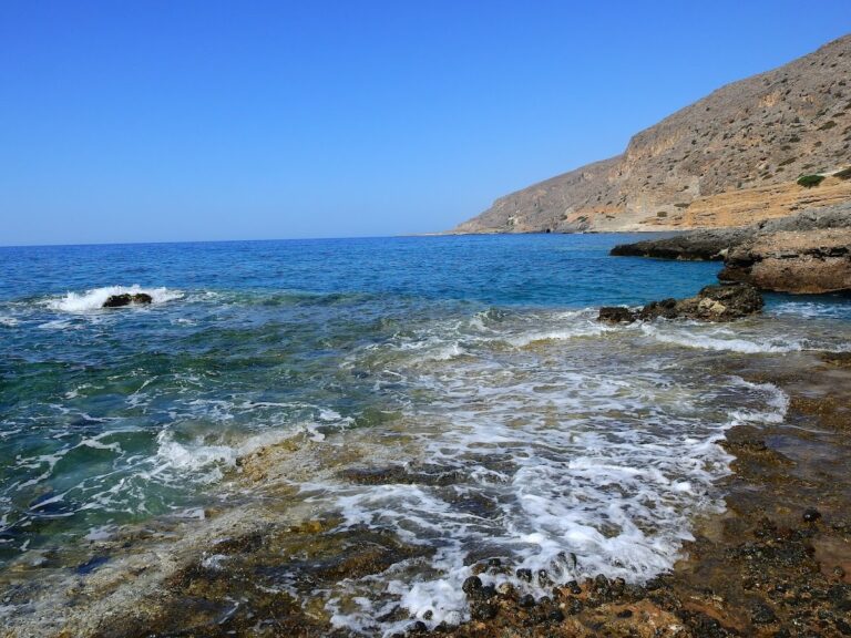
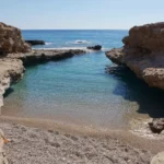
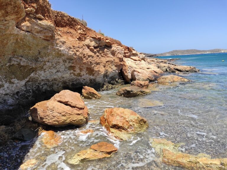
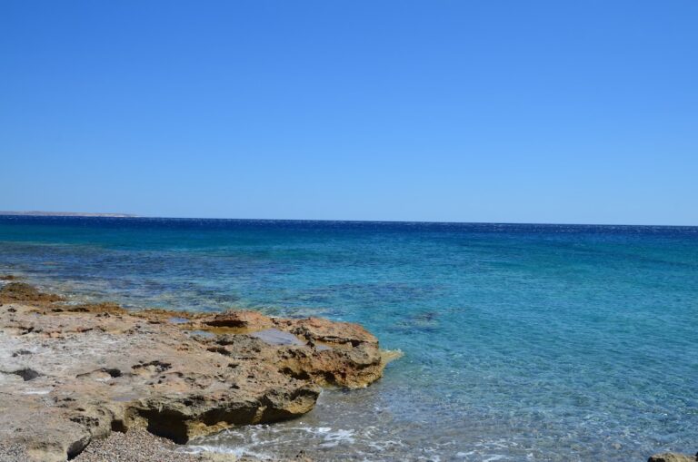
The beach of Votsalaki is one of the most stunning on Crete island. It boasts small pebbles and crystal clear waters. The sea’s color is enchanting, displaying shades of green, blue, and red due to the local soil. Despite its proximity to the main road, Votsalaki remains relatively secluded. The beach’s west end is a popular spot for naturists, as the surrounding cliffs provide a natural barrier from unwanted viewers.
To reach Votsalaki, drive east from Ierapetra along the main road towards Sitia, following the south coastline of Crete. After passing Makrigialos, take the road leading to Goudouras and stop 2.5km past Kapsa Monastery.
Another beach worth visiting is Thodori’s. If you travel towards Makrigialos from Votsalaki, you’ll come across a remote sandy beach scattered with pebbles, known as Thodoris Limani. The name likely comes from a former landowner named Thodoris. The beach is split into two adjacent coves. Unfortunately, there are no facilities or natural shade, so remember to bring an umbrella and water. Despite these minor inconveniences, the beach’s extraordinary sea colors, with green and pink hues, make it a must-visit spot.
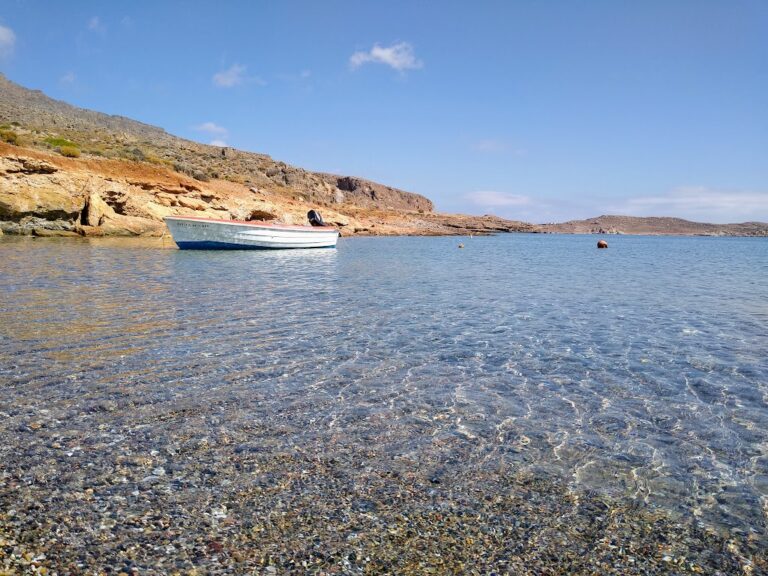
The first beach you encounter when heading west in Xerokambos is Amatos harbour. It’s a naturally encompassed harbour featuring tranquil water. The beach, although remote, is pebbly and offers an ideal environment for spearfishing. Few tamarisk trees dot the landscape and there’s a ramp to facilitate boat launching. An accessible dirt road connects the harbour to the Xerokambos settlement, from which the path to Agia Irini beach starts.
Heading from the harbour to the Xerokambos settlement, after about 100 metres, you stumble upon a hidden bay. It’s filled with fine grey pebbles and has a smaller cove nearby. This area, known as Ligias Lakkos, can be reached via a stone path that winds through the towering cliffs that surround it. The landscape is breathtaking; rugged mountains tower behind you, a peaceful harbour is on your right, and the Kavalli islands are to your left.
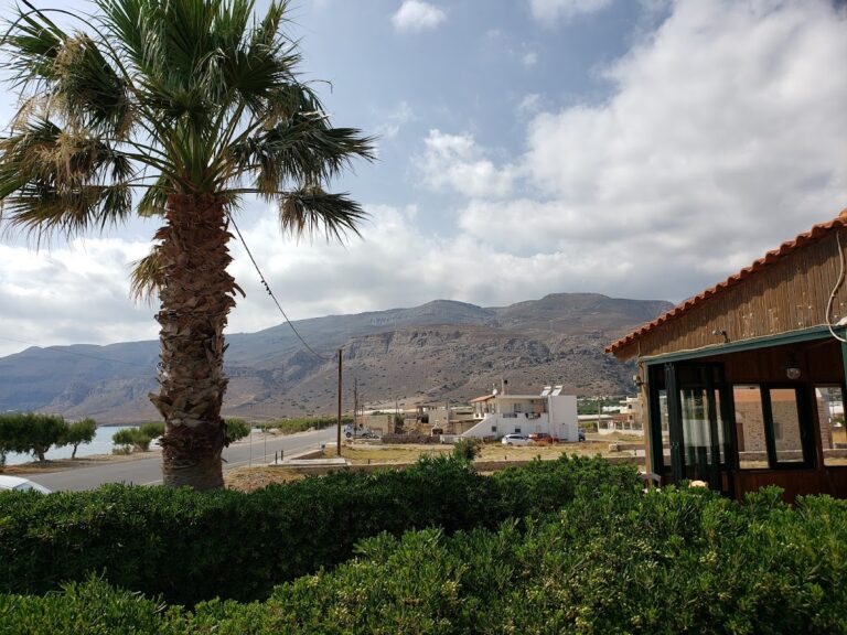
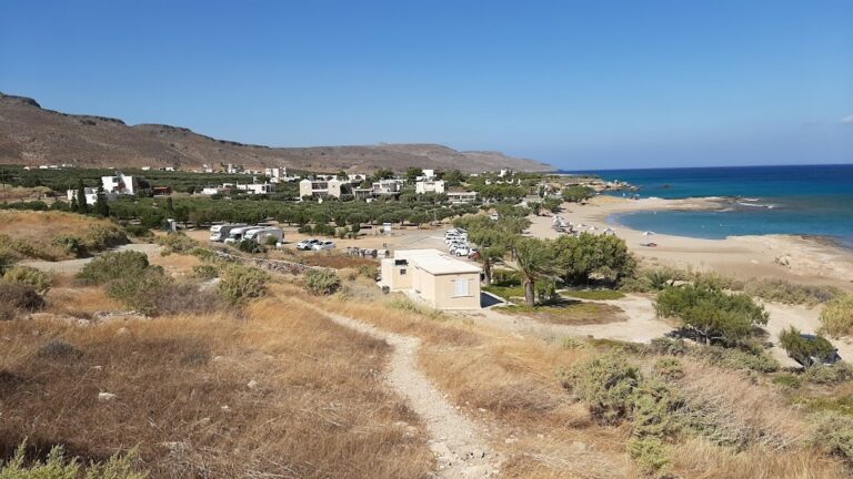
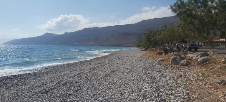
Goudouras, a coastal village, is nestled 37km to the east of Ierapetra and 73km southeast of Agios Nikolaos. It is situated in a vast valley surrounded by untamed mountains and inaccessible canyons. Goudouras is essentially an amalgamation of two settlements, Asprolithos and Goudouras. Positioned near the edge of Cape Goudouras, formerly known as Cape Erythrae, the village takes its name from the cape. The name Goudouras is derived from the local plant “agoudouros” (Hypericum triquetrifolium), which is abundant in the area and was traditionally used as a base for drying fruits like figs and raisins. The region’s extremely warm climate is conducive to cultivating olives and greenhouse vegetables, although this has unfortunately impacted the area’s natural beauty.
Tourism development in the village has been mild, resulting in a serene and peaceful destination even during the peak month of August. A road runs alongside the coastal village, leading to a large pebbly beach with clean, cool water. While it’s not heavily organized, there are spots with umbrellas and nearby taverns. We recommend visiting the neighboring Votsalaki beach, located to the west. To reach Goudouras from Ierapetra, take the road to Makrigialos and then turn towards Goudouras. There are also bus services from Ierapetra to Goudouras.
Within Goudouras, you’ll find the stone-built Church of the Ascension. From here, you can journey to the charming village of Agia Triada, situated 8km north, where you can take in the enchanting beauty of the wild Cretan countryside and ancient olive groves. Afterwards, head to Ziros and Xerokambos and unwind on the seemingly endless golden beaches.
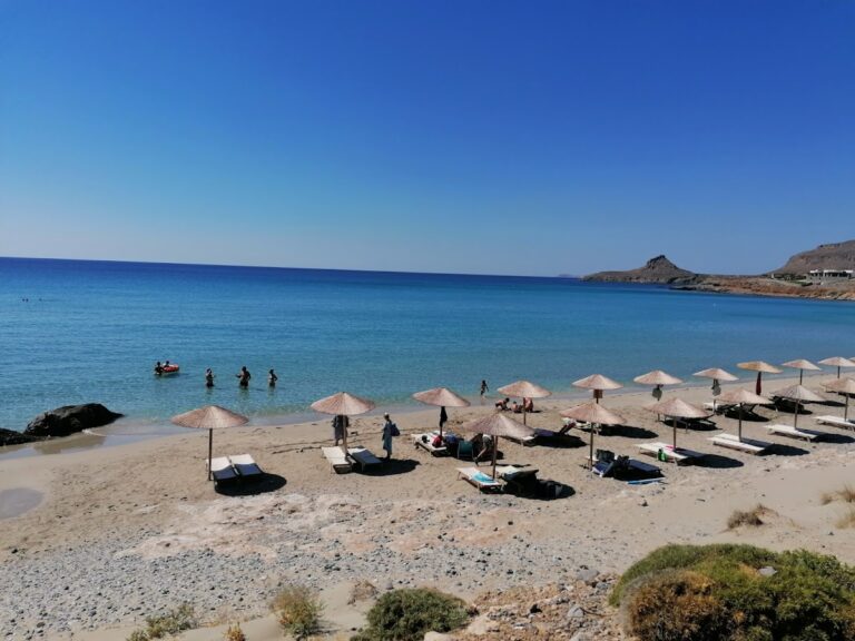
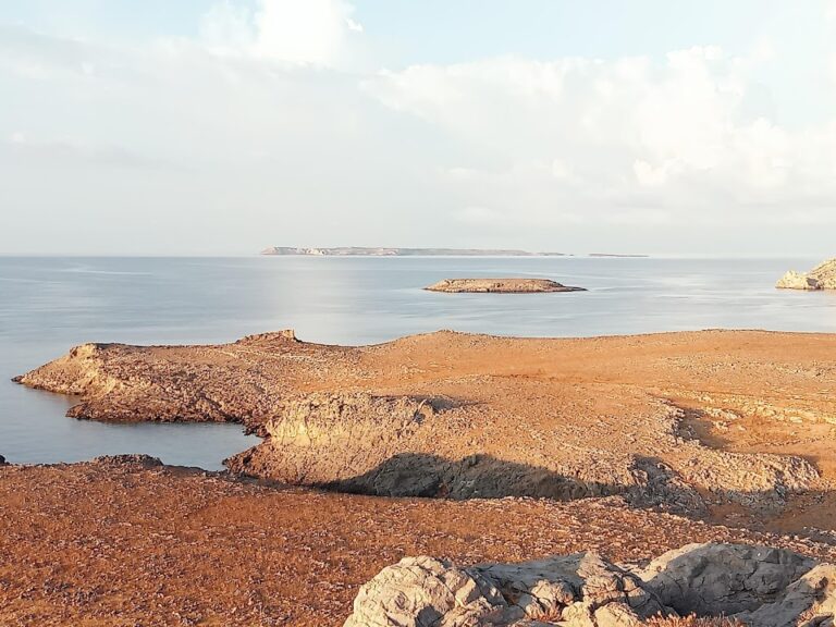
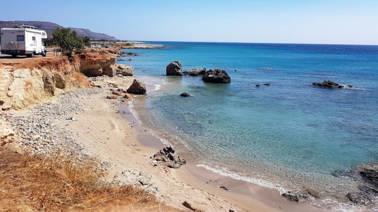
A 500-meter journey west from the Xerokambos settlement will lead you to the area’s initial hotels and the expansive beach of Mazida Ammos, the longest in Xerokambos. This stunning beach boasts white sands and crystal-clear shallow turquoise waters. To the east, it’s well shielded by Cape Trachilos, at whose tip you’ll find a sea cave named Fokiospilio. Across from Mazida Ammos, you’ll spot the minor islets known as Kavali.
Atherina beach, a hidden gem, is situated approximately 70 km southeast from Agios Nikolaos and 34 km east of Ierapetra, just before reaching the coastal village of Goudouras. To get there, you must follow the narrow, deep, and dry stream that drains from the Vigla region. This stream can be found about 300 meters past the Agii Saranda church in Kalami. Following it will lead you directly to the sea, providing easier access to the beach. Alternatively, there is a rough dirt road that ends just above the beach’s eastern edge.
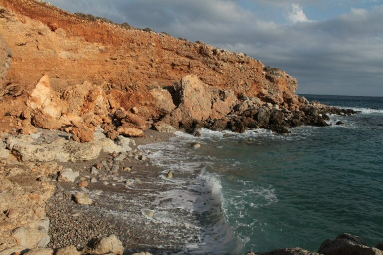
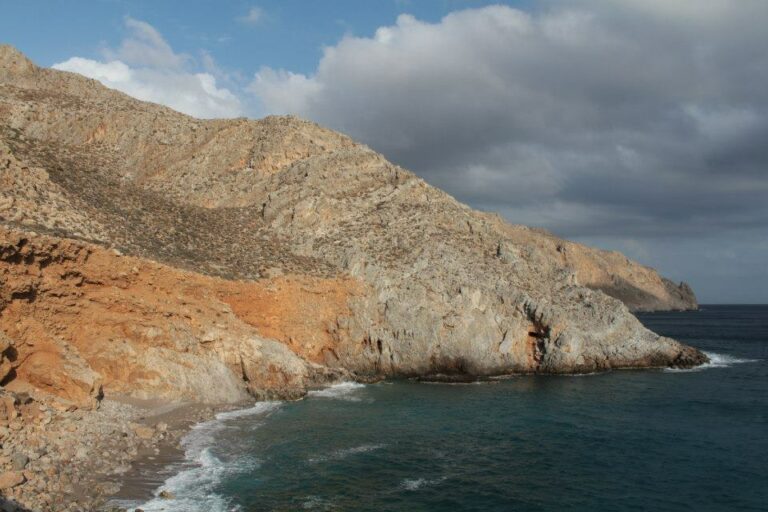
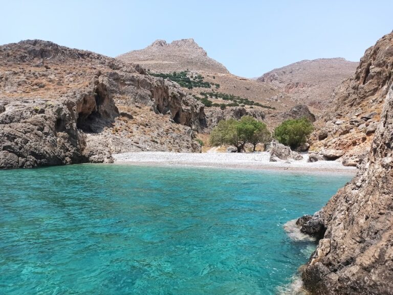
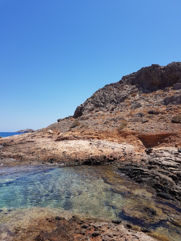
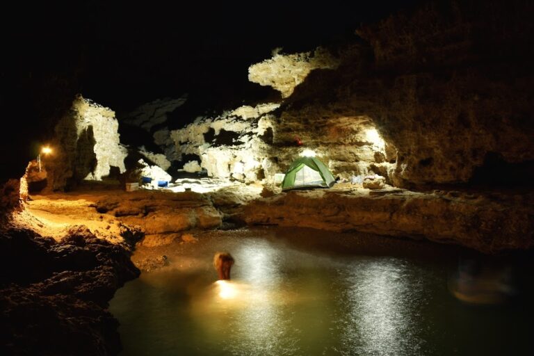
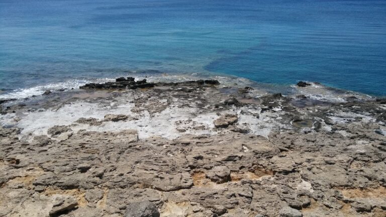
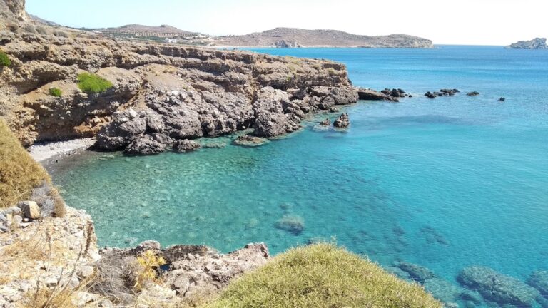
Atherina is an exquisite secret cove, perfect for swimming. The landscape features a small canyon formed by rocks, accompanied by a large stone platform on its side. This secluded beach has pebbles and crystal clear blue waters that make swimming a surreal experience. Shadows are easily found by the sides of the small gorge’s conglomerate walls, providing a respite from the sun.
The surrounding sea area is dotted with natural salt pans, yielding ample sea salt that can be harvested with a spoon from the rocks. In the vicinity, you can explore and discover several other remote and tiny beaches.
The quaint village of Kalami is situated 70 kilometers southeast from Agios Nikolaos and 34 kilometers east of Ierapetra, in close proximity to Goudouras. It’s an area abundant with serene, secluded coves which offer respite from crowded city centers, and are easily reached since the road runs adjacent to them.
The first beach you encounter is Kalami, aptly named after the Greek word for reeds, which can be found growing in the stream that trickles through the center of the beach. It’s a picturesque pebble beach, a sanctuary with its own fresh water spring. While the beach lacks tall trees, the rocks provide a natural canopy, offering shade throughout the day. To find the beach, look out for the chapel of Agii Saranda, as the beach lies directly beneath it. However, be aware that the path from the road to the beach can be challenging due to the surrounding high rocks, but it’s not impossible.
Adjacent to Kalami beach are several tiny, secluded coves. The first beach to the west is nestled at the mouth of a narrow ravine with cavernous walls. Named Atherina, this is one of the area’s most beautiful private beaches. A mere 100 meters to the east, another small bay faces westward.


