Beaches near Zákros, in Lassithi region

Here is list of closest beaches to Zákros

  • 4.6 km
  • Zakros beach
  • Fine Pebbles
  • Normal
  • Blue

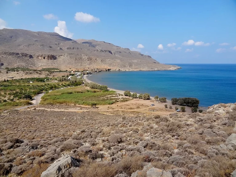
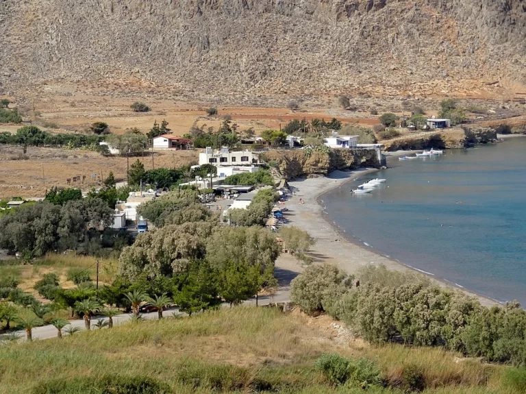
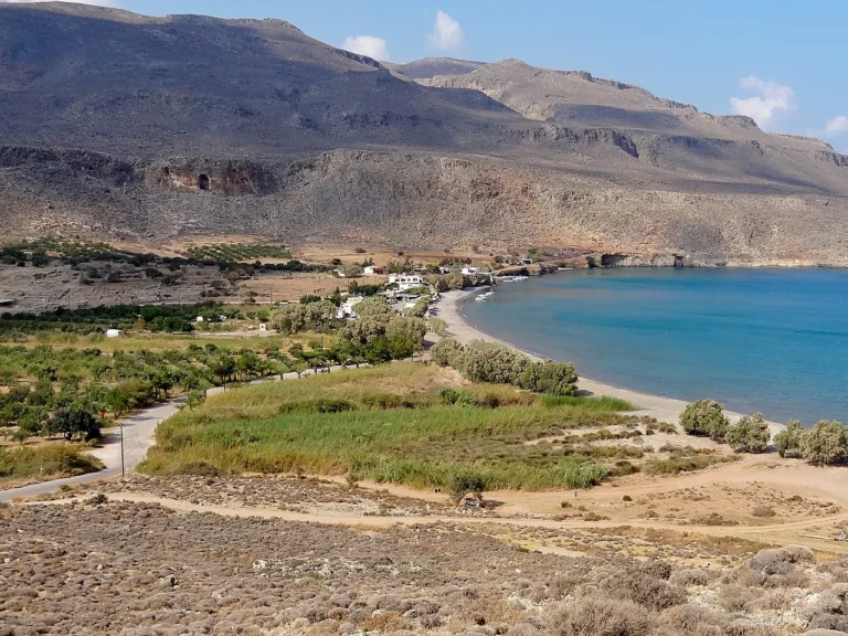
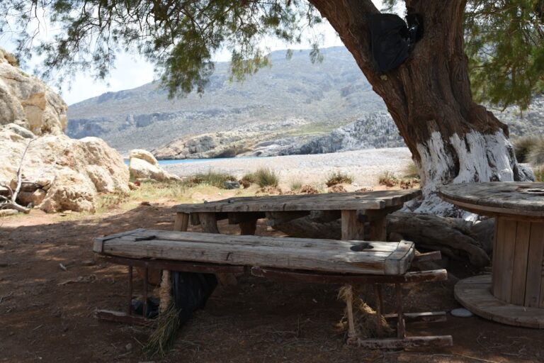
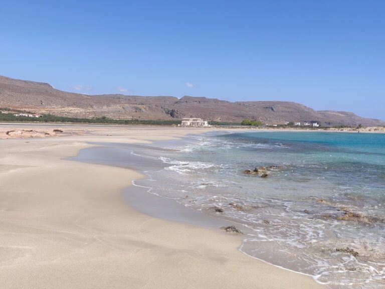
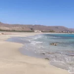
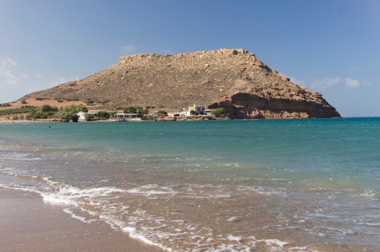
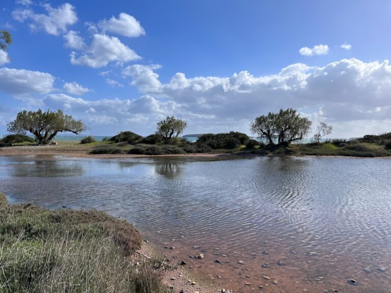
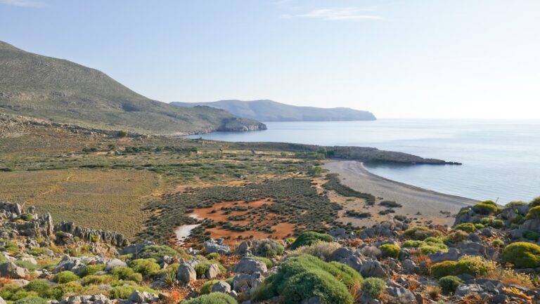
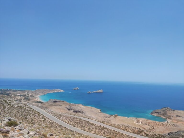
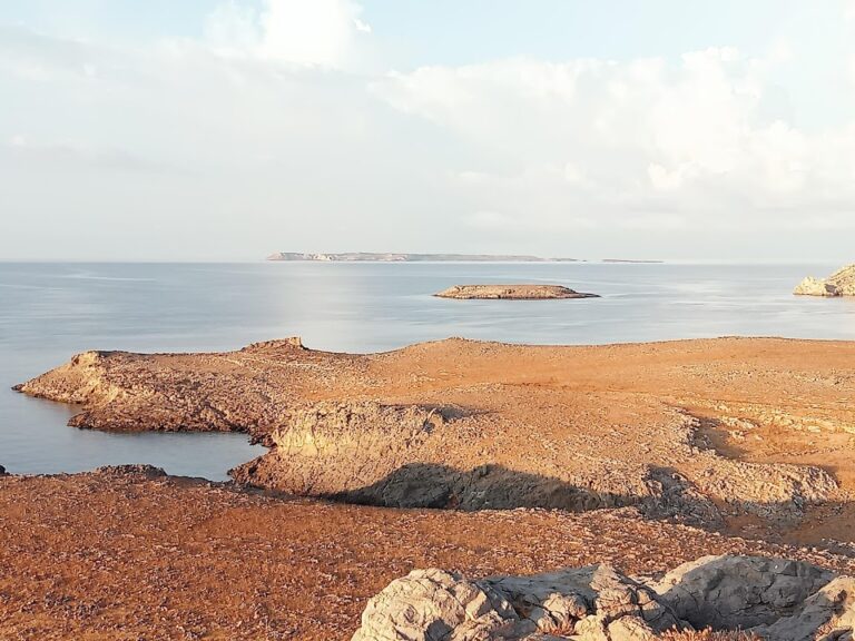
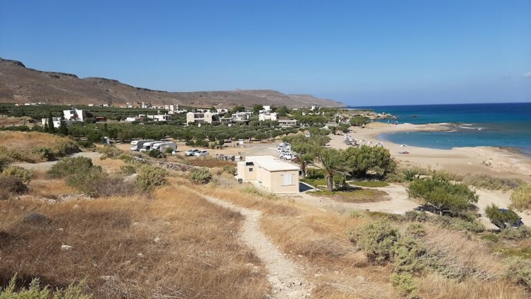
Kato Zakros, a quaint fishing village, is nestled 107km east of Agios Nikolaos and 40km east of Sitia. It serves as the scenic port of Ano Zakros village, which is located 7km to the west, amidst a fertile valley bordered by rugged mountains and lush olive groves. This remote corner of Crete provides the perfect escape for those seeking tranquillity and an escape from the bustling city life, making it a favourite among families.

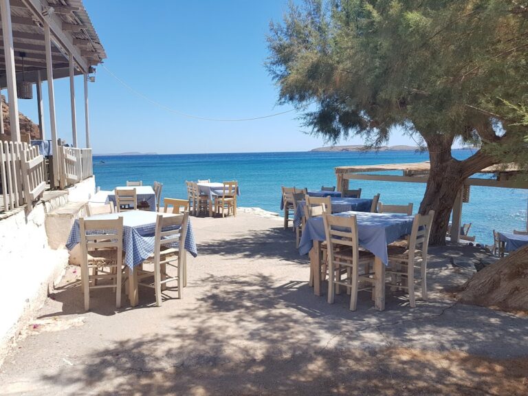
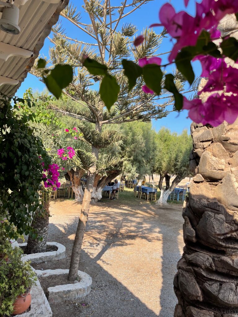
The village, though small, offers all the fundamental amenities without the trappings of luxury. The villagers primarily focus on the production of world-class olive oil. Rich in archaeological sites, including the renowned Minoan palace of Zakros, the village retains its natural beauty with limited construction. However, you will find a few accommodations, taverns, mini markets, pharmacies, and petrol stations. Regular bus services from Sitia also connect the village. The warm and welcoming locals will make you feel right at home.

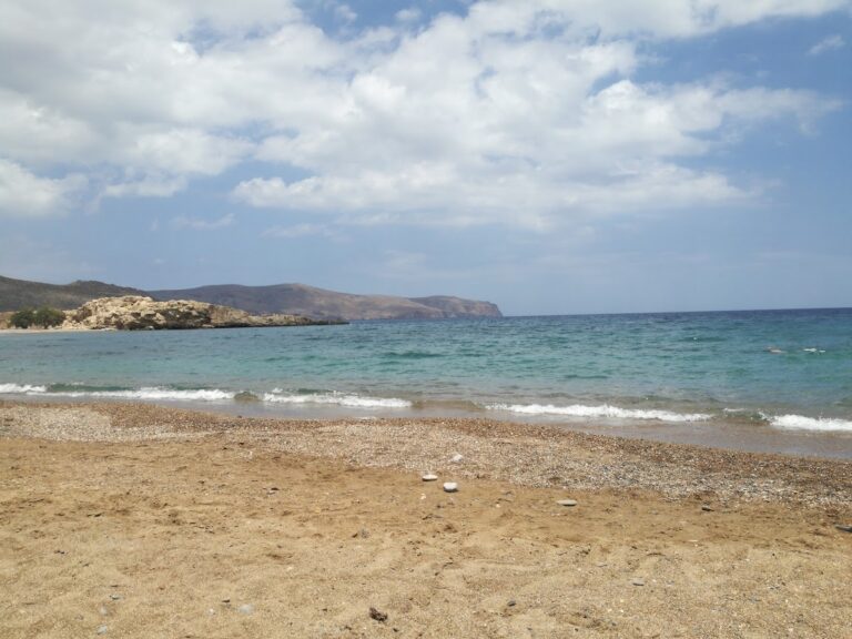
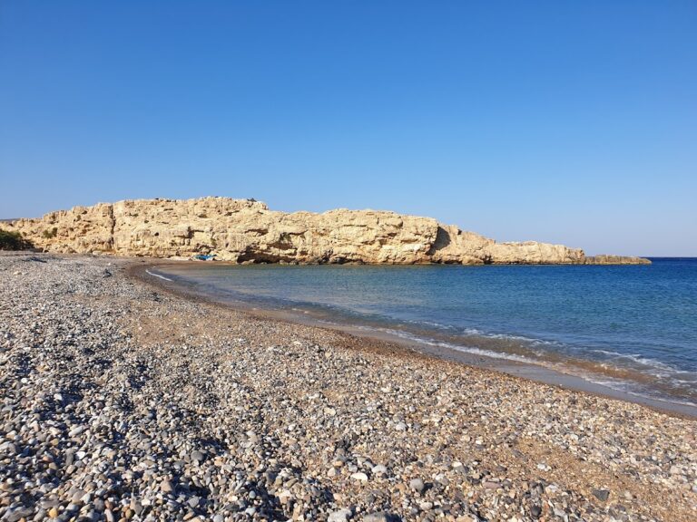
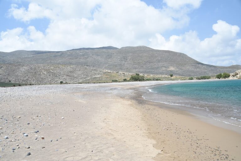
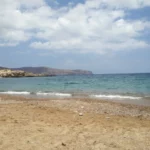
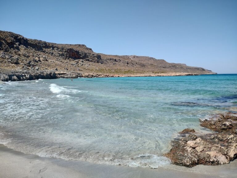
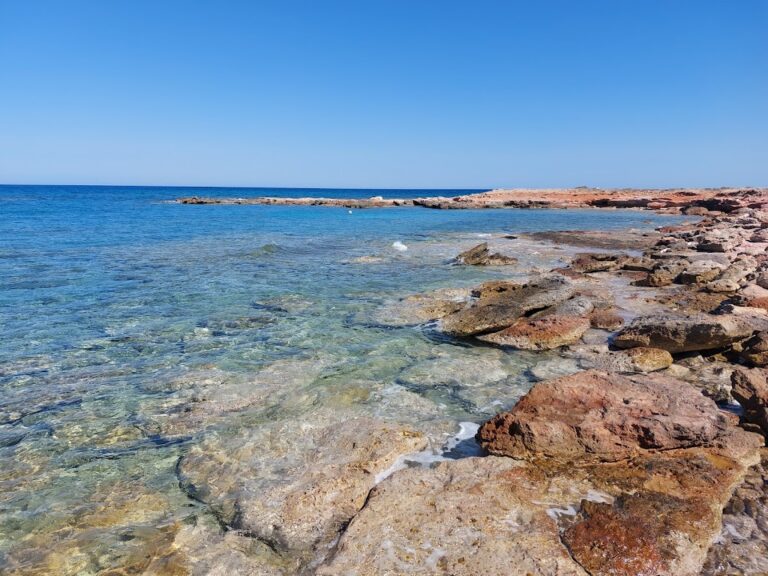
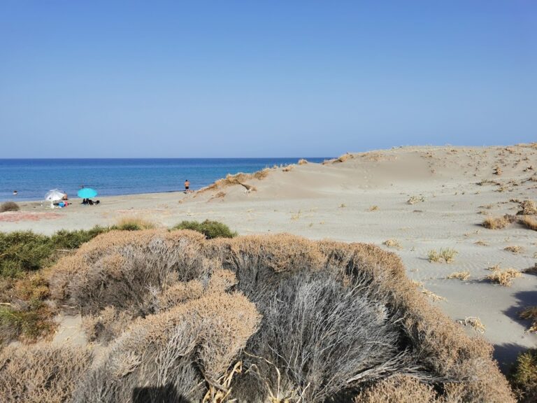
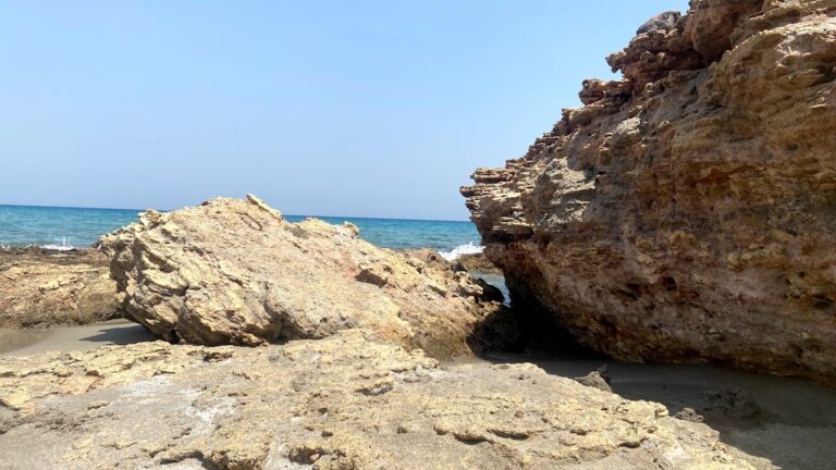
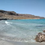
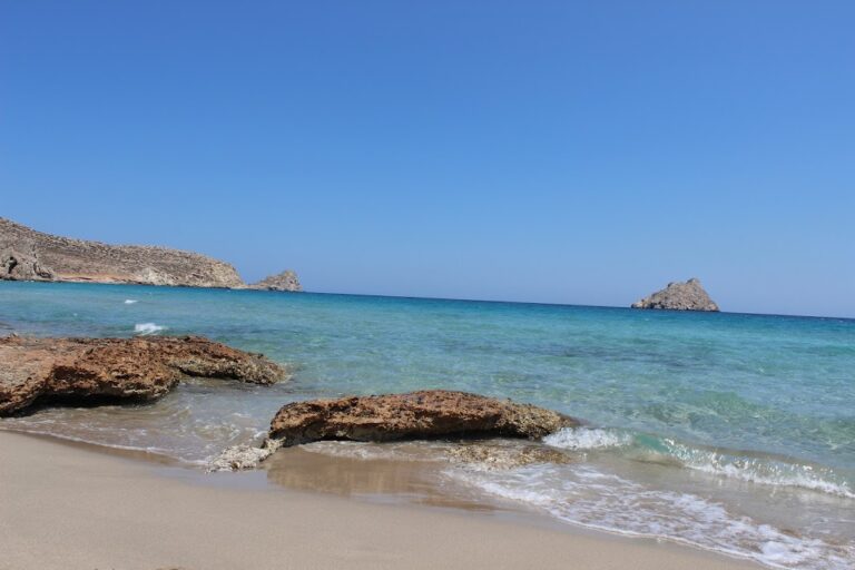
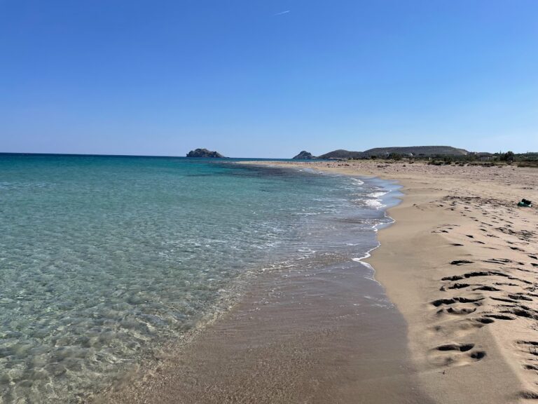
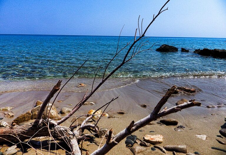
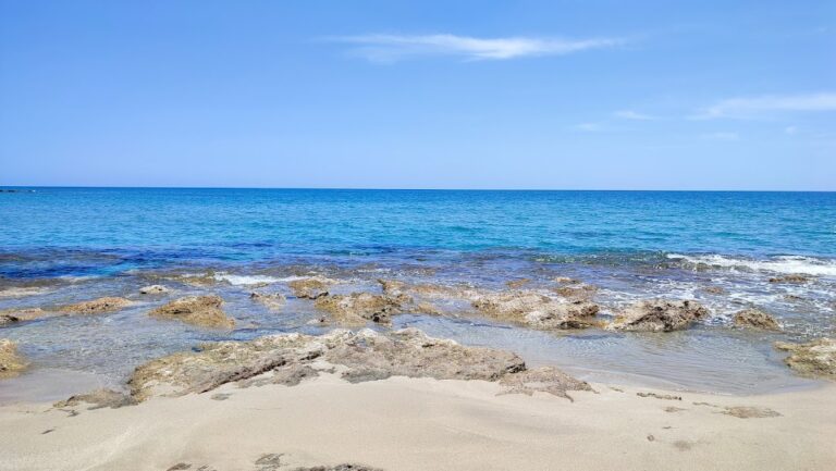
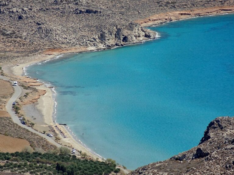
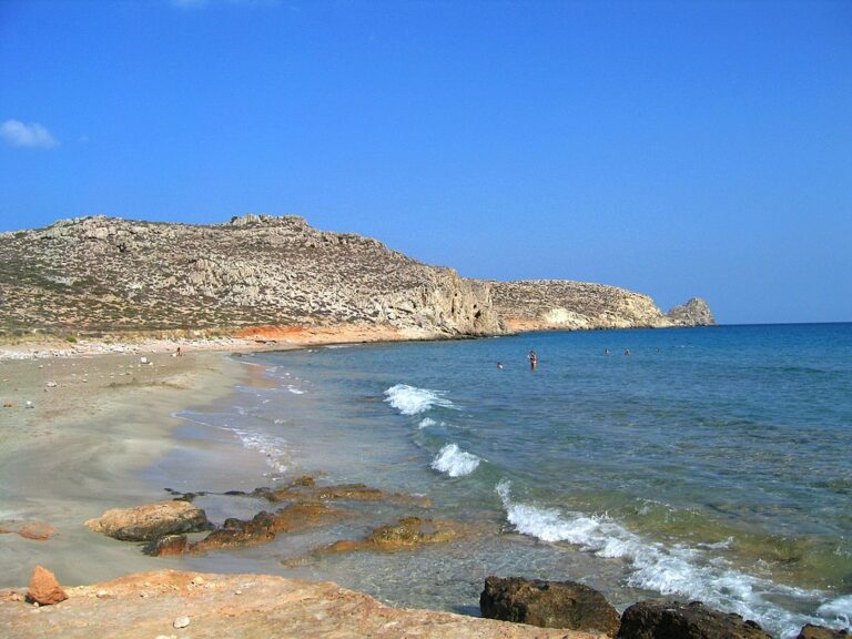
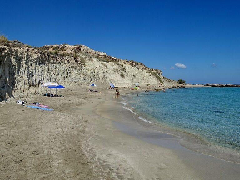
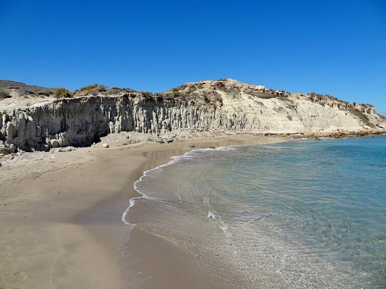
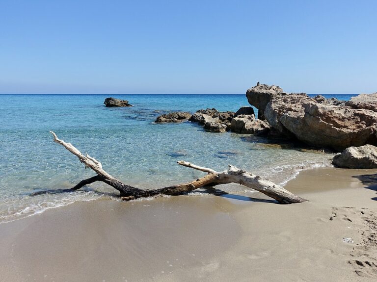
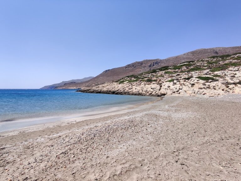
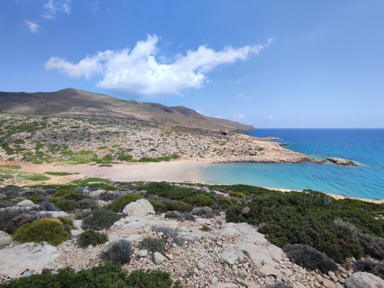
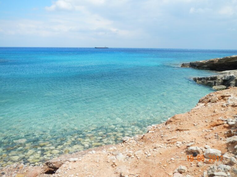
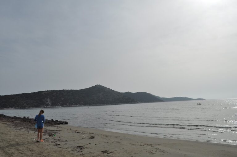
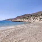
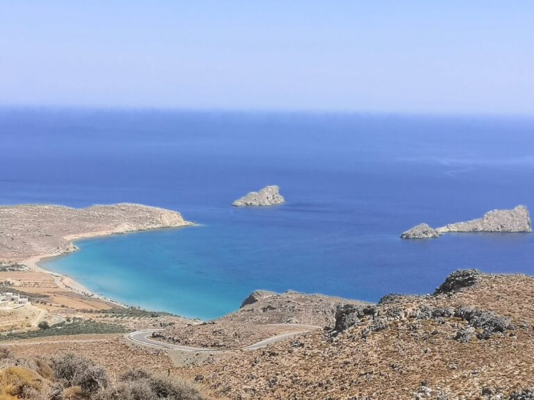
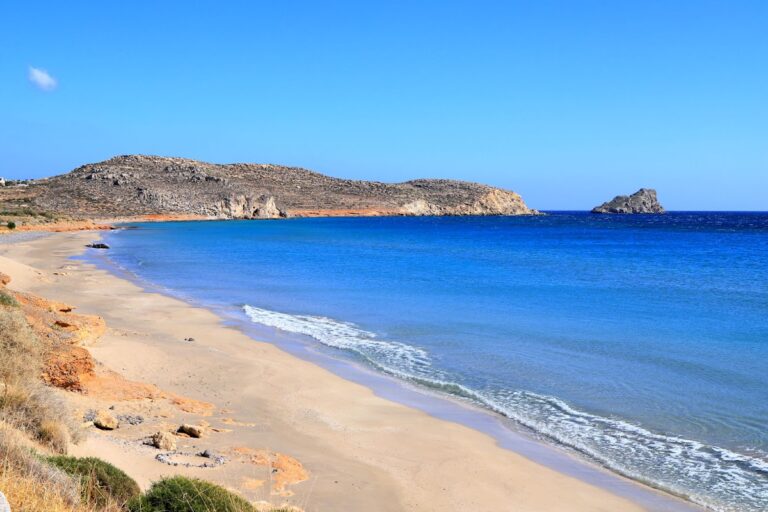
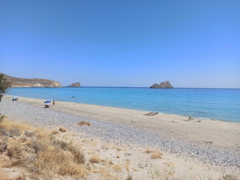
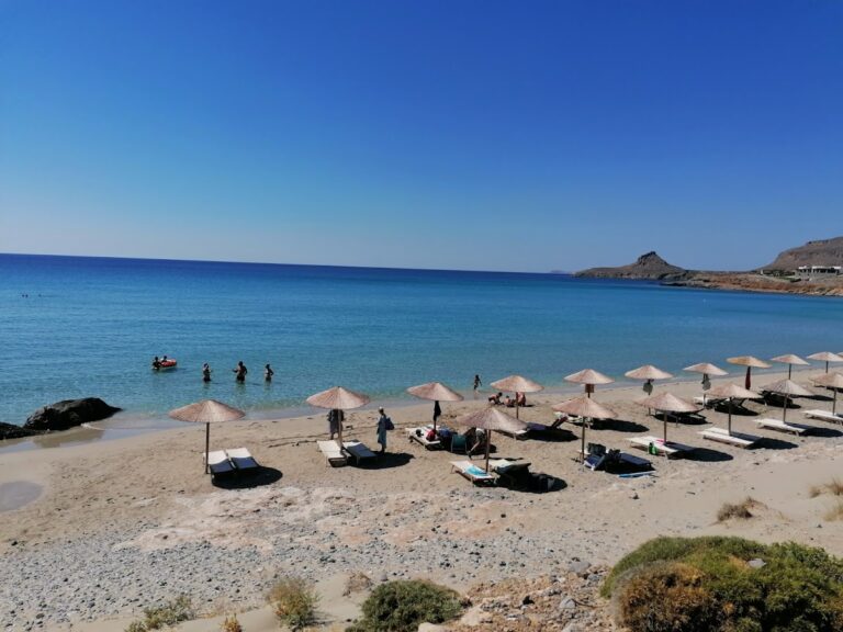
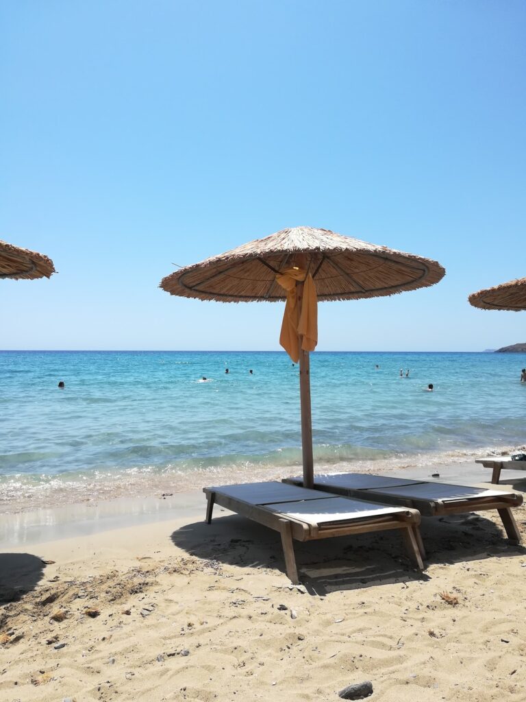
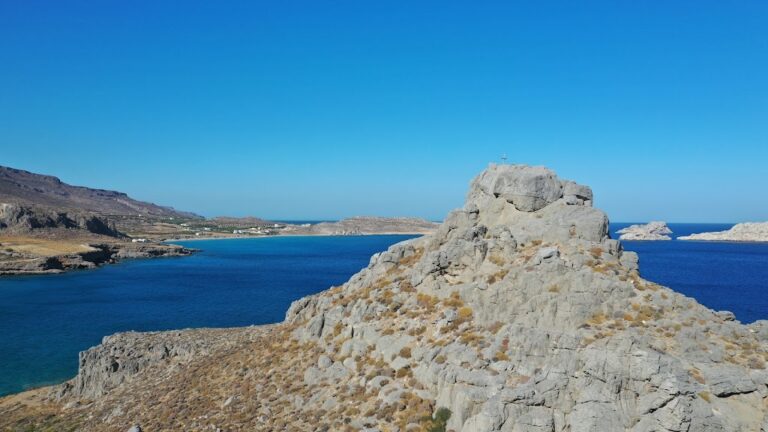
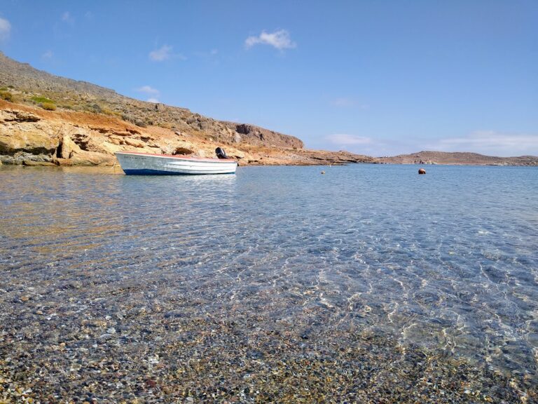
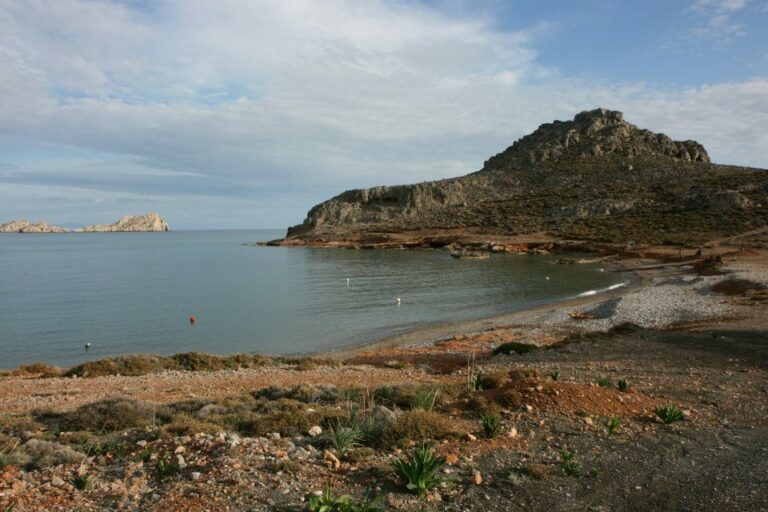
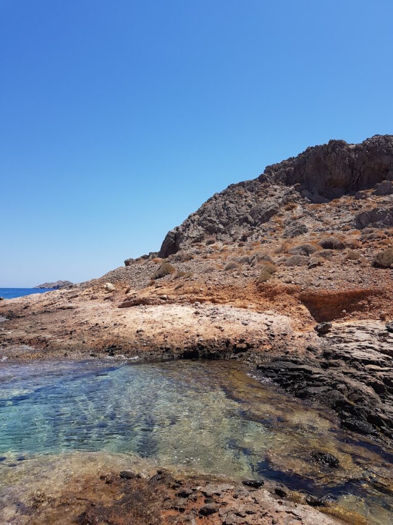
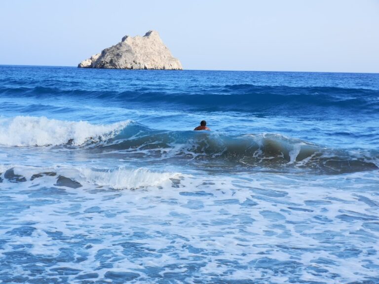
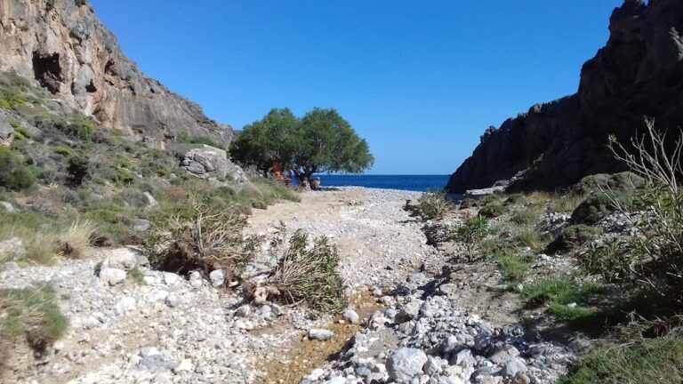
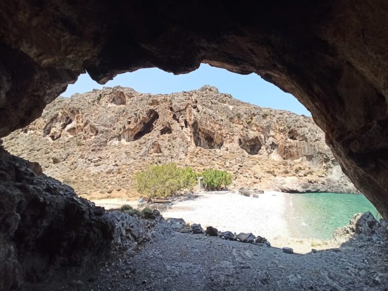
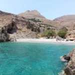
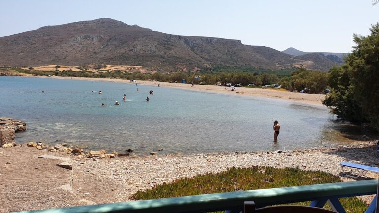
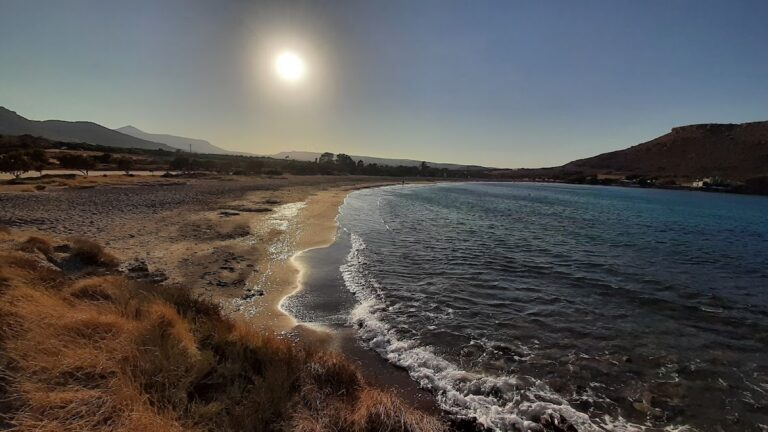
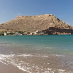
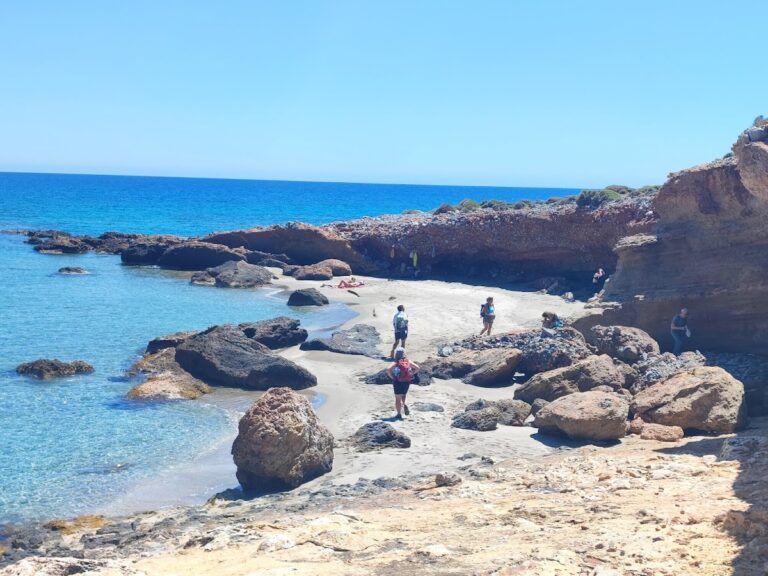
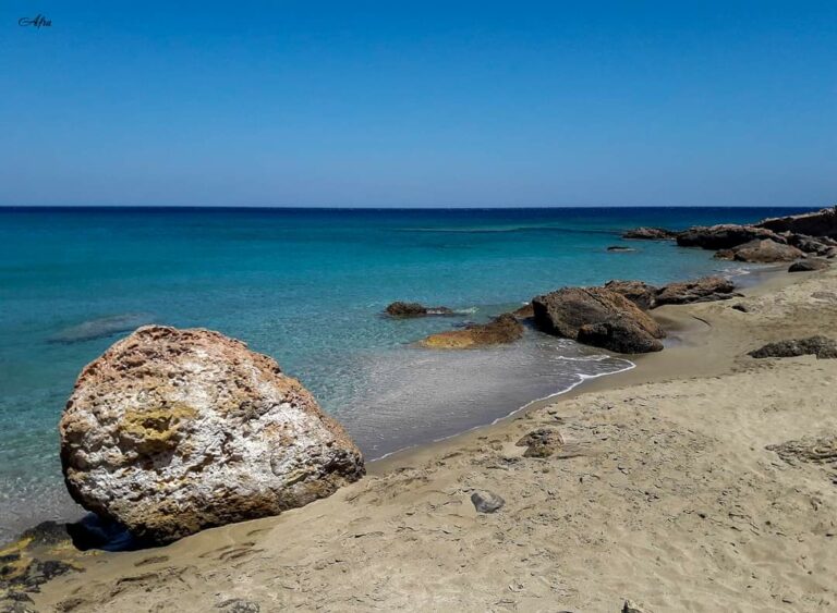
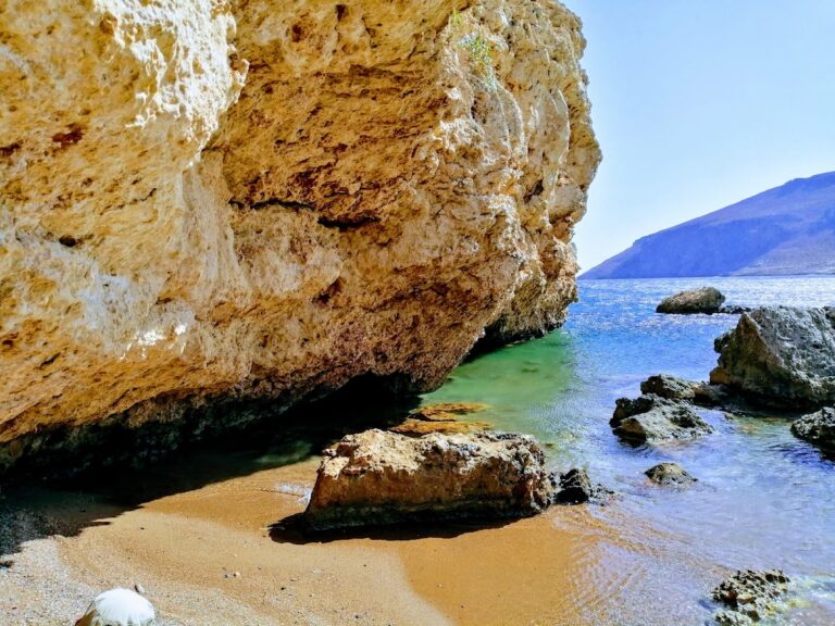
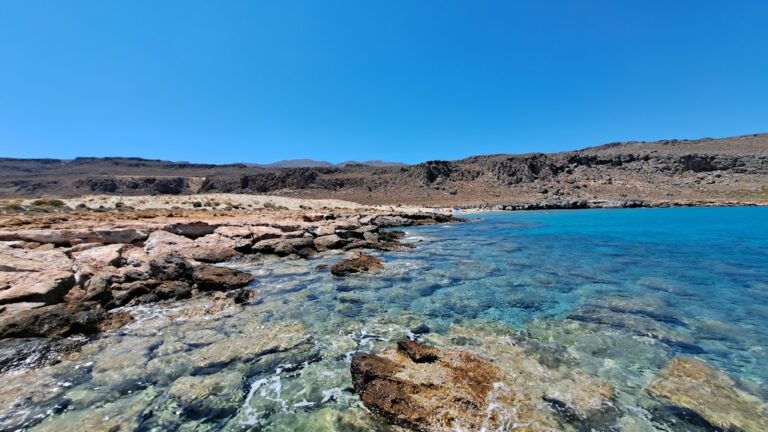
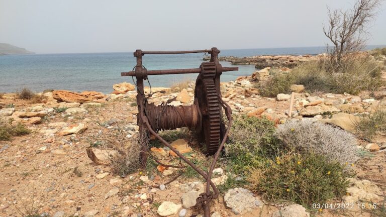
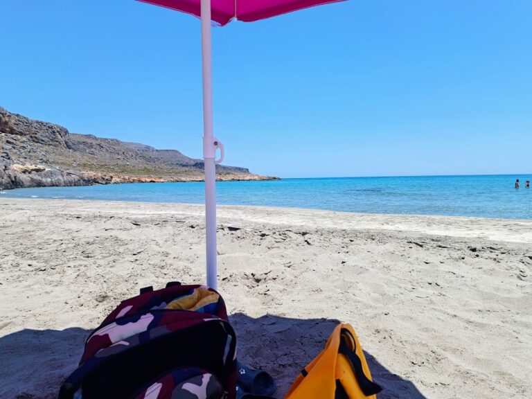
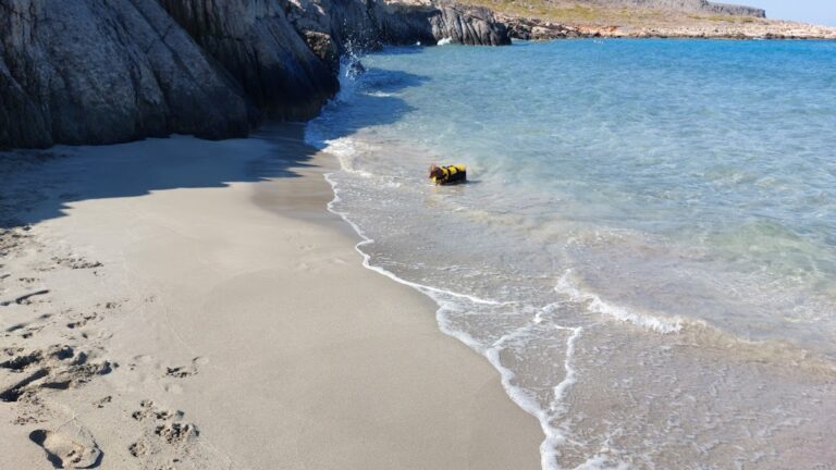
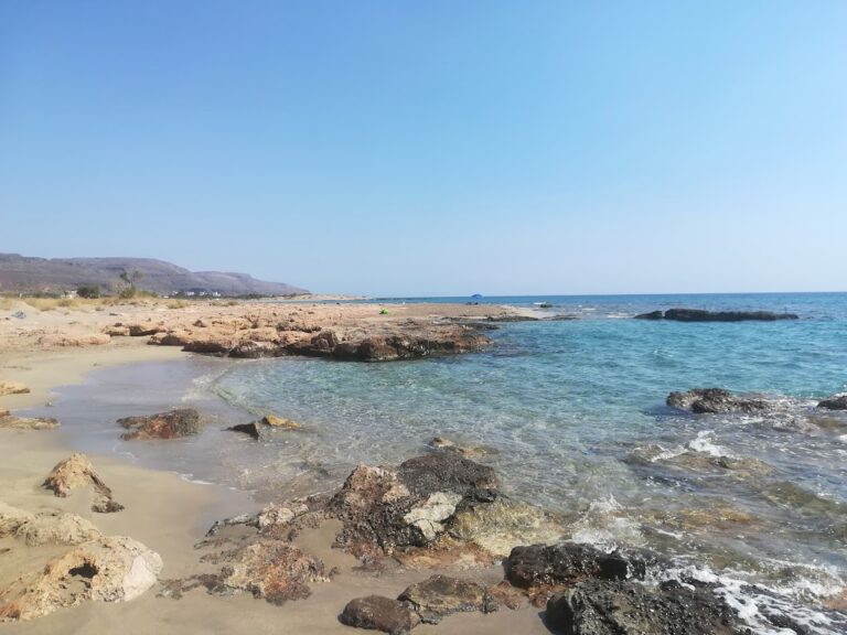
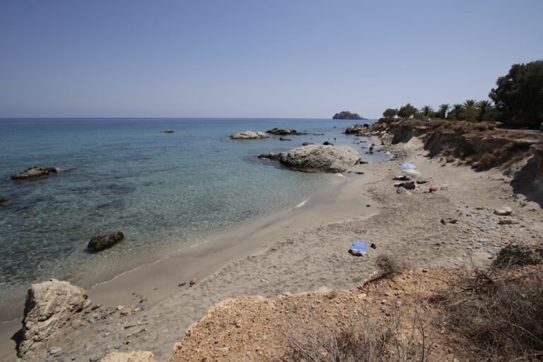
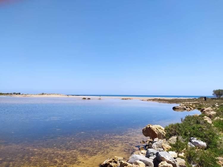
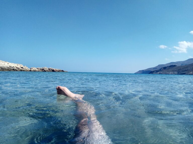
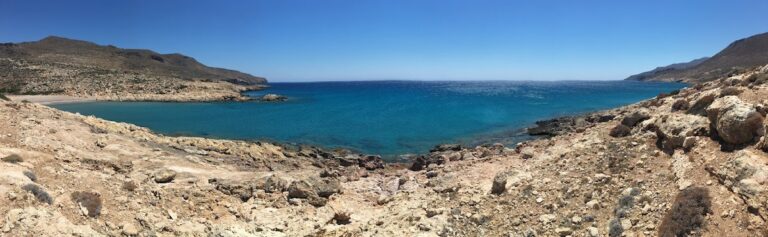
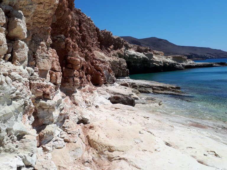
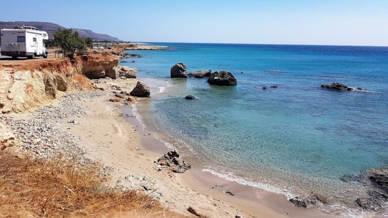
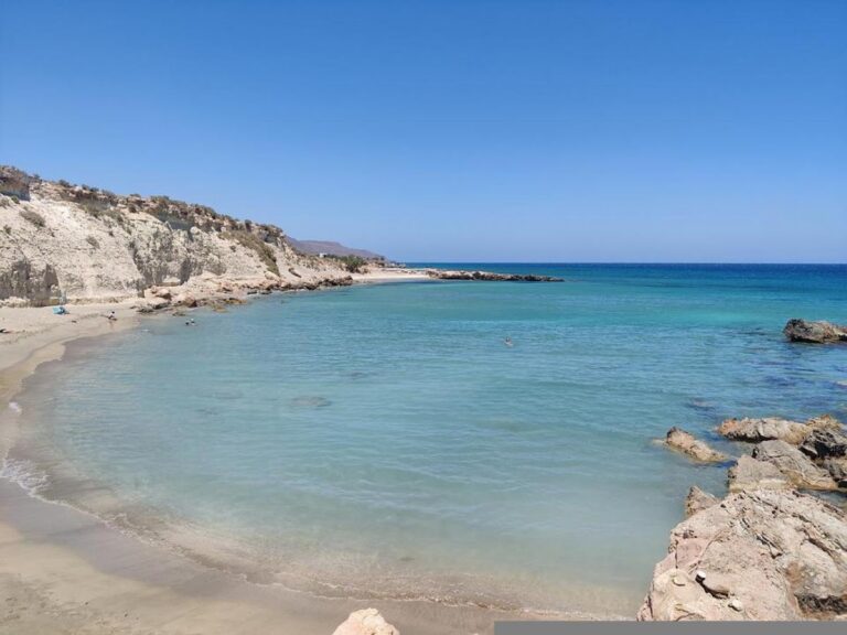
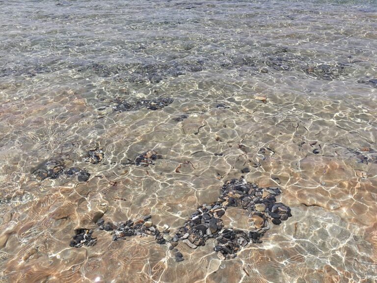
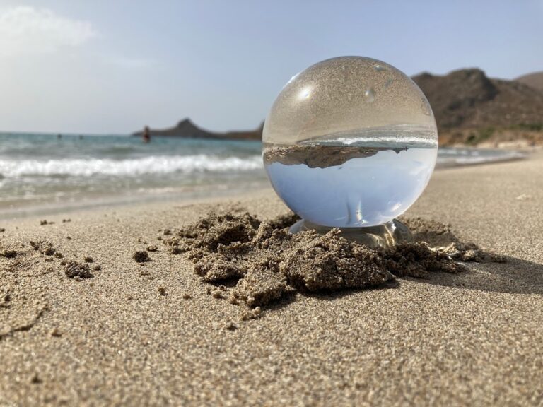
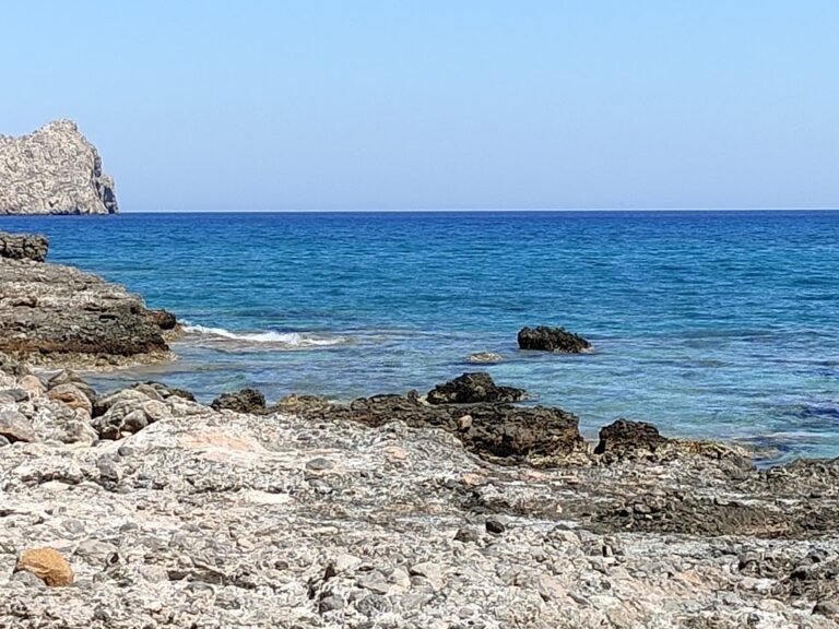
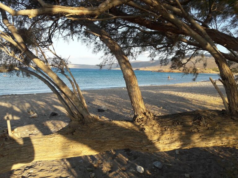
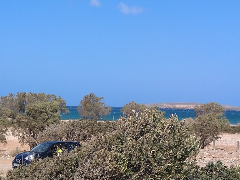
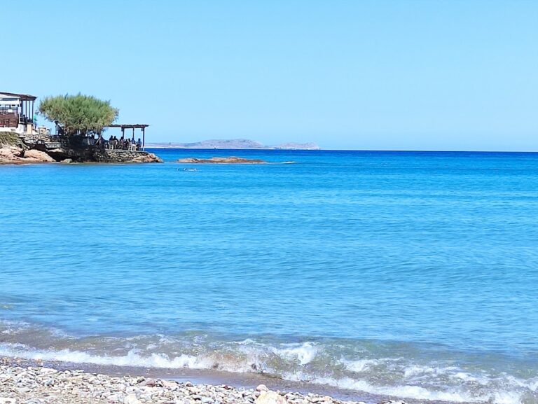
The serene beach fringing the village is nestled within a large protected bay. Comprising mainly pebbles and occasional rocks, the beach boasts tranquil waters, offering a peaceful retreat even during the busy month of August. The rocky seabed is a paradise for fishing enthusiasts.

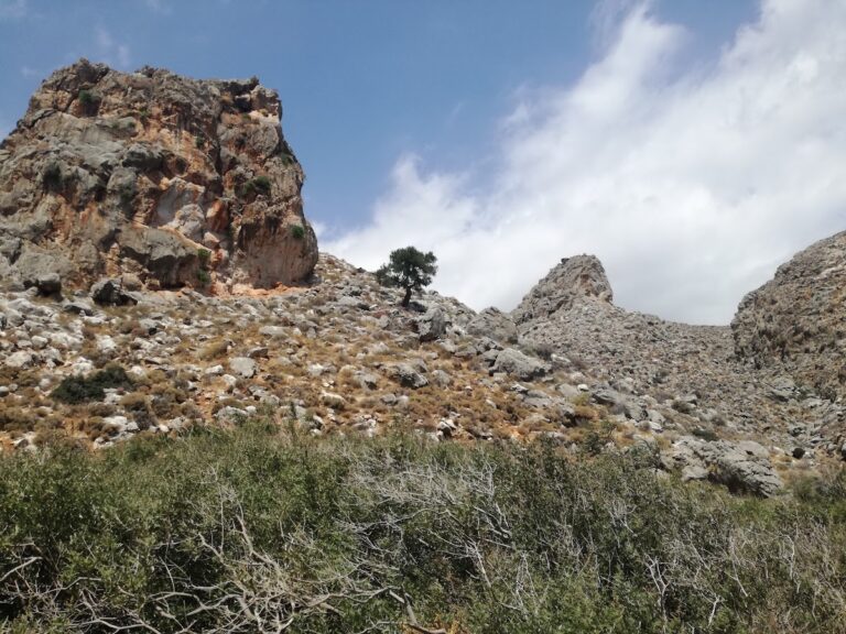
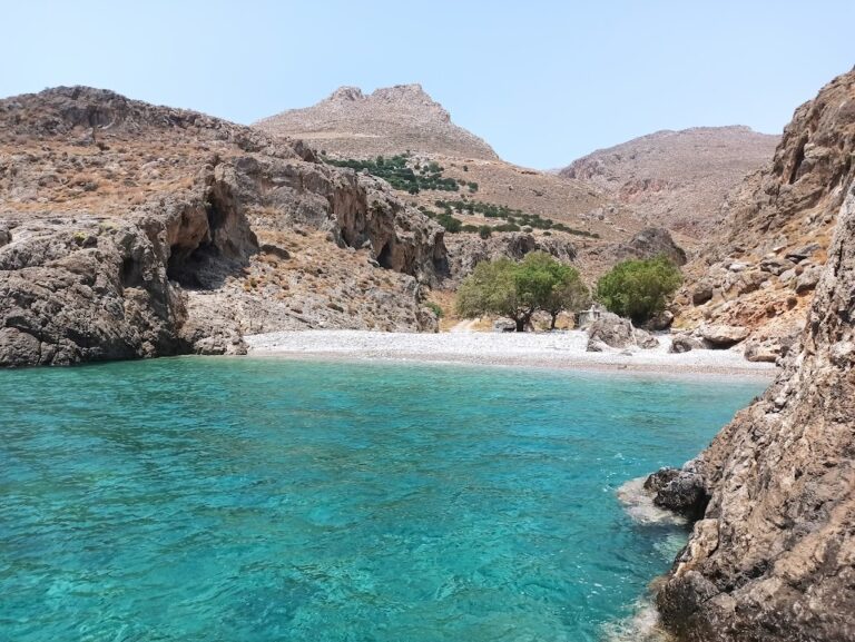
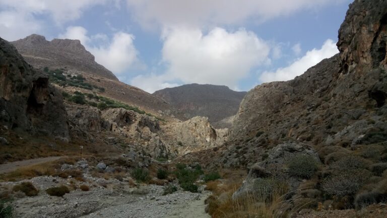
When in Kato Zakros, the famous Gorge of Zakros, ominously known as Deads’ Gorge, is a must-visit. Named after the many Minoan graves discovered within its cavernous sides, the gorge offers an adventurous hike from Zakros village that takes around two hours. The Minoan palace of Zakros, the fourth largest after Knossos, Phaestus, and Malia, is a significant archaeological site located near the gorge’s exit. It houses numerous artistic masterpieces from 1900BC and is open to the public, with the most significant findings displayed at the Archaeological Museum of Heraklion.

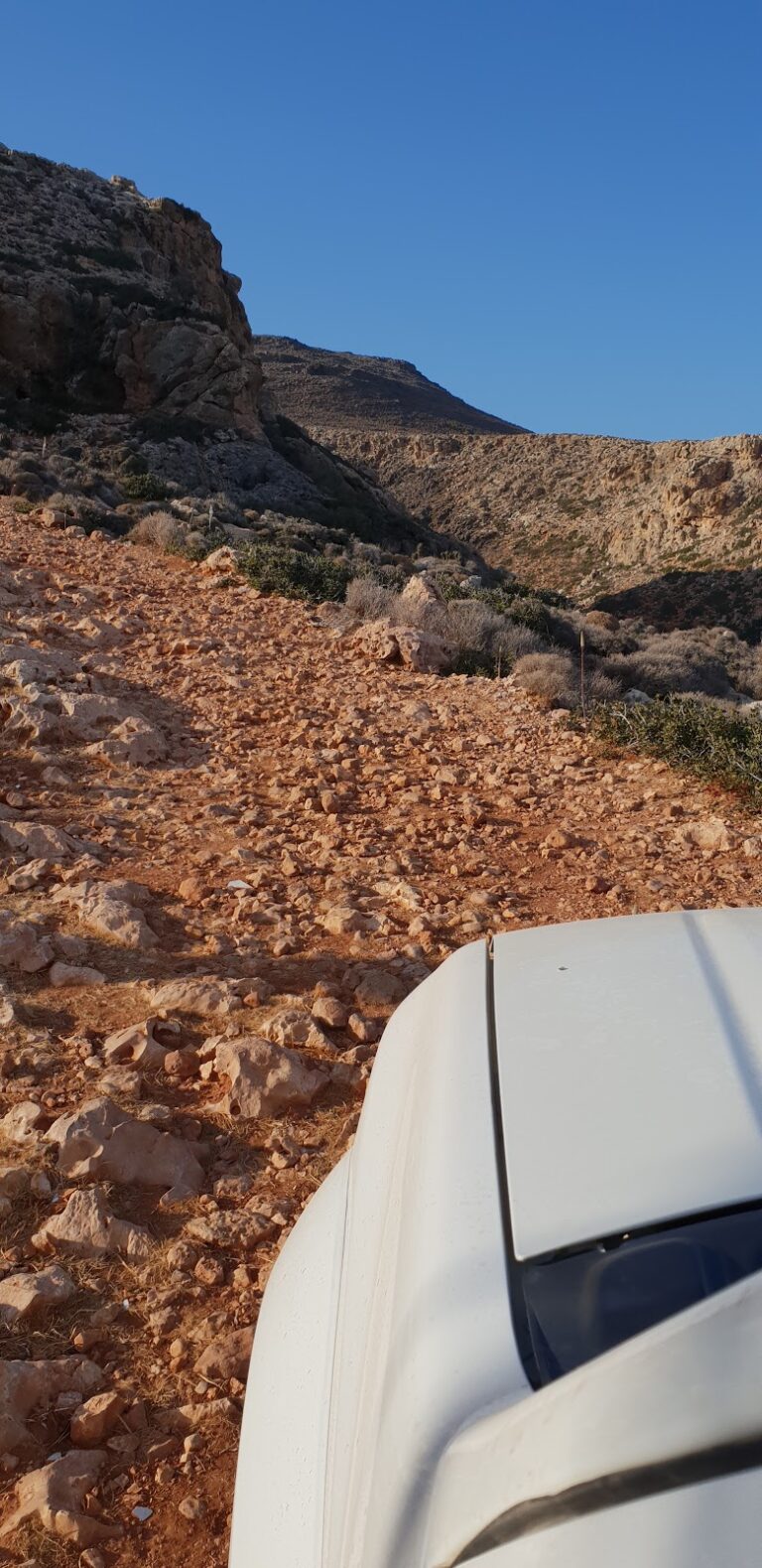
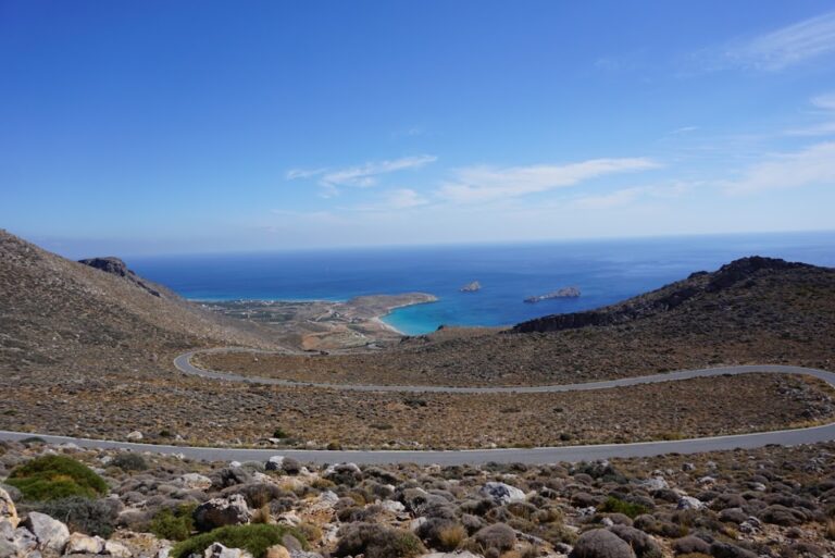
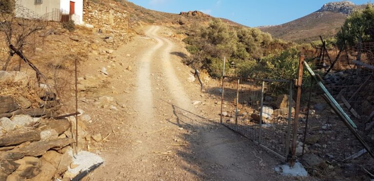
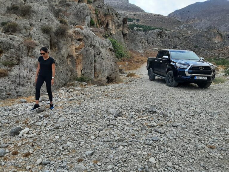
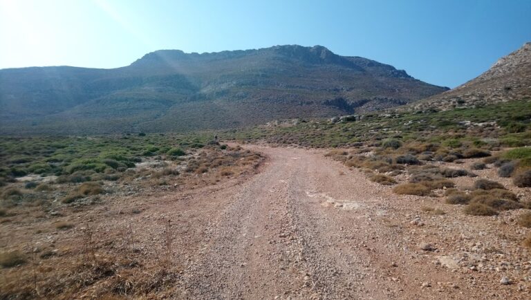
An old dirt road leading to Zakros, offering breathtaking views of the Gorge’s steep cliffs, is worth exploring if you have a car. Upon reaching the village, take a leisurely stroll through its narrow streets and visit its churches. The springs of Zakros, forming a small oasis amidst the wild landscape of Eastern Crete, are also worth a visit.

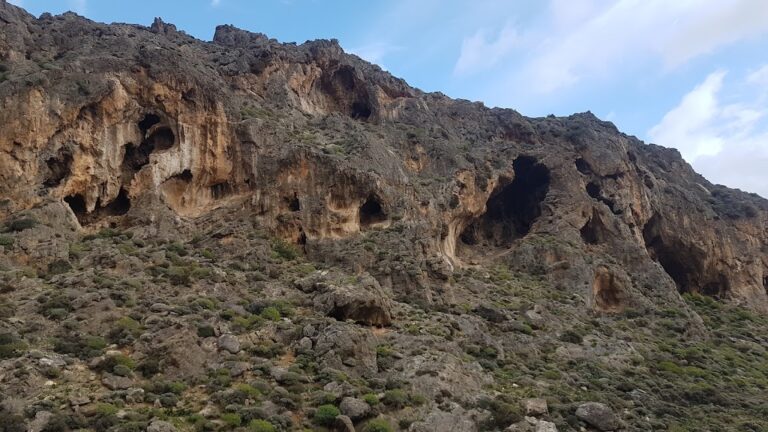
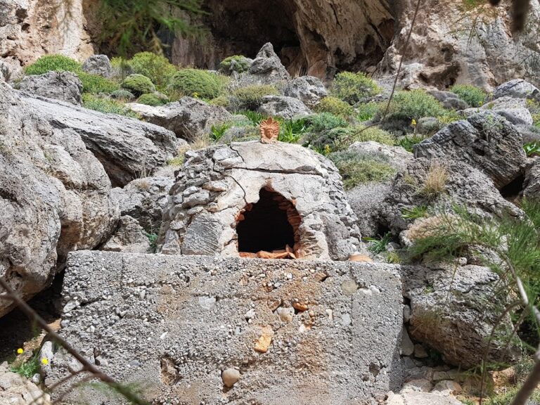
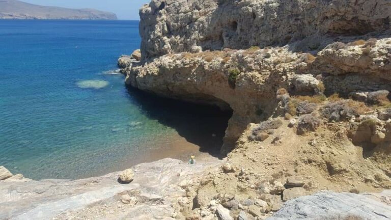
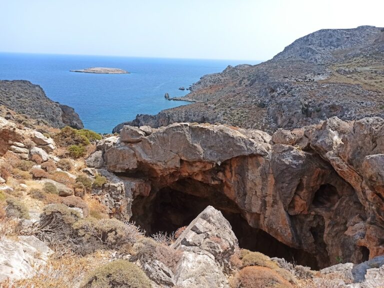
If time permits, a boat trip (or rigorous hike) to the secluded Cave of Pelekita could be an exciting expedition. As one of Crete’s largest caves, it has traces of Neolithic habitation. A nearby quarry, presumably used by the Minoans for constructing the palace of Zakros, is also an interesting sight.

  • 6.5 km
  • Karoumes beach
  • Fine Pebbles
  • Normal
  • Blue

Karoumes beach, a serene and secluded area, is situated 110km east of Agios Nikolaos and 29km southeast of Sitia. The beach is nestled at the end of the picturesque Chochlakies gorge, a part of the E4 trail. The only way to reach the beach is by trekking through the gorge, as the rough terrain of the region doesn’t permit road access. To get there, you need to park your car in the charming village of Chochlakies and embark on the trail that begins 1km east of the village. The gorge spans 3.5km and is filled with water until springtime. The hike generally lasts 1.5 hours at a relaxed pace and is only feasible when it hasn’t rained. The trail alongside the river offers stunning views as the gorge, with its towering cliffs, weaves through the barren mountains. During the trek, you’ll encounter numerous ponds (in spring) and a vast variety of flora. As you approach the exit, the high cliffs transition into a small valley.

At the valley’s edge, you will discover the tranquil Karoumes beach. This beach features small pebbles, and its eastern orientation ensures calm waters. It’s also home to numerous trees providing shade, and some rocks on the beach’s northern side. The beach’s remote location and challenging access make it an ideal spot for solitude. For those seeking even more isolation, there are two hidden beaches, each only 3-5m long, located 300m and 400m south of the main beach.

Approximately 700m north of Karoumes beach, on the trail from Karoumes to Agathias (near Palekastro), you’ll find an incredible sandy beach called Mavromouri Cape. This beach, surrounded by rugged hills and dotted with rocks in the sea, is well-shielded from waves and wind. Rock recesses offer shade to the few visitors, who typically reach the beach by boat.

If you venture to Karoumes, don’t miss the Pelekita cave, situated 3km south of the beach. Near the cave is an ancient quarry, formerly used for building the Minoan palace in Kato Zakros. Be sure to bring torches if you plan to explore the cave’s interior. From the cave, you can continue south to Kato Zakros via the E4 trail. Alternatively, you can trek from Agathias to the three Skinias beaches and then stroll south along the coastline until you reach Karoumes.

  • 6.6 km
  • Alona beach
  • Sand
  • Shallow
  • Blue

Alona beach, also known as Krinakia, is located near the exit of the Katsounaki Gorge, to the east of the Xirokambos settlement. A torrent from the gorge flows onto the Potamos beach during winter, situated adjacent to the stunning sandy beach of Alona. The beach is dotted with sand dunes, which are blanketed by white sea daffodils in the fall season. Trekking through the canyon is fairly effortless, highlighting a wild landscape with imposing walls; a trek from the top to the bottom of Alona is possible.

To the west of Alona lies another beach, Potamos, accessible by car. It’s located at the mouth of the Katsounaki river, characterized by large round pebbles. One can reach it by driving along the river towards the sea. While it may not be particularly remarkable, it offers a serene and secluded atmosphere. This beach is also referred to as Italika, named after Italian houses located on the beach.

  • 7.5 km
  • Alatsolimni beach
  • Rocks in places, Sand
  • Shallow
  • Blue

Located 500m east of Xerokambos, you will discover one of the most unique landscapes in Eastern Crete. A vast dried salt lake lies adjacent to the sea during the summer months, which may not seem particularly striking. However, visiting in the spring or winter months will reveal its true significance. During these seasons, the lake, known as Alatsolimni, or Salt Lake, fills with water and transforms into a miniature lagoon. This environment fosters the growth of thousands of microorganisms and serves as a sanctuary for migratory birds waiting for calmer winds. You may spot a variety of bird species such as herons, hawks, and flamingos.

A beautiful sandy beach with shallow waters extends in front of the lagoon, providing an ideal spot for solitude. The most opportune time to visit is early spring, when the lake is still flooded and the surrounding area is adorned with vibrant blossoms. Locals refer to this area as Alykes, which translates to saltpans, a name derived from the form of the shallow waters.

Opposite the bay, the islets of Kavali provide a suitable habitat for the Falco eleonorael. Other species in the area include the Falco peregrines, Aquila chrysaetos, and Hieraaetus fasciatus. During migration, the area is also frequented by the vulture Neoprhon percknopterus.

  • 8.1 km
  • Xerokambos beach
  • Sand
  • Shallow
  • Blue

The remote settlement of Xerokambos is nestled 103km southeast of Agios Nikolaos, 47km south of Sitia, and 69km east of Ierapetra in the Lassithi prefecture. It is primarily accessible via the road that links the cities of Sitia and Ierapetra with Ziros. An alternative route is the asphalt road from Zakros. The journey from Ziros unveils lush green plateaus, abandoned medieval towns like Etia and Chametoulio, and offers breathtaking views of the South Cretan Sea and the rugged Gorge of Lamnoni.

The stark, eerie landscape of Xerokambos is defined by barren rocks and towering mountains. Its sparse vegetation consists mainly of shrubs, with occasional olive groves. Despite its isolation, it has begun to evolve into a small tourist destination, especially after the roads were paved. Xerokambos, ideal for a peaceful retreat, is not recommended for those seeking nightlife. The village offers several accommodations, mini markets, and taverns, while a pharmacy, butcher, and petrol station are available in Zakros, a 15-minute drive away.

The serene sea and beautiful beaches of Xerokambos contrast sharply with the wild mountainous backdrop. The region offers a variety of beaches, including rocky, pebbly, sandy, and even a clay beach for natural spa enthusiasts.

The main region of Xerokambos, Ambelos, lies east of Cape Trahilos. This is where you’ll find the majority of accommodations and taverns. A picturesque blue-domed church, Saint Nicholas, and the remnants of the Hellenistic city of Ambelos are also sights to behold on a nearby hill. The first beach here, Gerontolakkos, or Agios Nikolaos, is followed by a narrow argillaceous beach where visitors often engage in mud baths. This beach is aptly named Argilos, which translates to clay.

Further along is Vourlia, a small bay featuring golden sand and local accommodations and taverns. From here, the coastline becomes rockier, stretching northeast through a protected area for the white sand Lilly.

  • 8.5 km
  • Skinias beaches
  • Fine Pebbles, Pebbles
  • Normal
  • Blue, Deep blue

Skinias, a secluded region, is situated 94km to the east of Agios Nikolaos and 20km to the east of Sitia, nestled in one of Crete’s most remote eastern corners. This wild terrain is home to three charming little coves, perfect for anyone seeking solitude, located at the end of the Katsara gorge. With no amenities or shade-providing trees in sight, visitors should be prepared with water and an umbrella.

Access to the beach is through a challenging dirt road that leads to the central beach of Skinias. Those with a standard vehicle will need to halt before reaching the beach due to the poor road conditions. The first beach you encounter is the central sandy beach of Skinias, renowned for its stunning water hues. This pebble-strewn beach is recommended for snorkelling and fishing activities. If you tread 200m to the east, following the rocky coastline dotted with numerous caves and vibrant blue waters, you will soon arrive at the eastern pebbly beach of Skinias. Conversely, if you head west from the central beach towards Karoumes, you will find another pebble beach, born from the mouth of a brief, small canyon.

  • 8.6 km
  • Mazida Ammos beach
  • Sand
  • Shallow
  • Blue

A 500-meter journey west from the Xerokambos settlement will lead you to the area’s initial hotels and the expansive beach of Mazida Ammos, the longest in Xerokambos. This stunning beach boasts white sands and crystal-clear shallow turquoise waters. To the east, it’s well shielded by Cape Trachilos, at whose tip you’ll find a sea cave named Fokiospilio. Across from Mazida Ammos, you’ll spot the minor islets known as Kavali.

  • 9.5 km
  • Amatos beach
  • Pebbles
  • Normal
  • Blue

The first beach you encounter when heading west in Xerokambos is Amatos harbour. It’s a naturally encompassed harbour featuring tranquil water. The beach, although remote, is pebbly and offers an ideal environment for spearfishing. Few tamarisk trees dot the landscape and there’s a ramp to facilitate boat launching. An accessible dirt road connects the harbour to the Xerokambos settlement, from which the path to Agia Irini beach starts.

Heading from the harbour to the Xerokambos settlement, after about 100 metres, you stumble upon a hidden bay. It’s filled with fine grey pebbles and has a smaller cove nearby. This area, known as Ligias Lakkos, can be reached via a stone path that winds through the towering cliffs that surround it. The landscape is breathtaking; rugged mountains tower behind you, a peaceful harbour is on your right, and the Kavalli islands are to your left.

  • 10.3 km
  • Agia Irini beach
  • Pebbles
  • Deep
  • Blue, Deep blue

The quaint and secluded village of Agia Irini is nestled 98km southeast of Agios Nikolaos and 11km south of Ziros village. Accessible through dirt tracks originating from either Kalo Horio or Hametoulo, the village is the gateway to the rugged Agia Irini gorge, which leads to a hidden cove across from the tiny islet of Hamili.

The beach boasts pebble shores and pristine blue waters, making it one of Crete’s most remote beaches. Its location away from bustling city centres, shrouded by towering cliffs and jagged rocks, makes it a serene escape. To reach this beach, one can either navigate the formidable gorge, drive along the dirt track from the village or sail by boat from Goudouras or Xerokambos. The beach is lined with tamarisk trees, offering a perfect spot for solitude. A trail also extends from Agia Irini Gorge to Xerokambos harbour.

The Agia Irini gorge consists of two parallel canyons that converge near the sea, where the dirt road to the beach lies. The canyons, with their rocky terrain, steep inclines and towering walls, offer a wild and untamed landscape. The westernmost canyon, in particular, can be quite daunting and risky for inexperienced hikers. A hike through the gorge, starting at an altitude of 500m near the Hametoulo settlement and descending to sea level, can take between 2-3 hours and can be quite strenuous on the knees.

  • 10.7 km
  • Hiona beach
  • Sand
  • Shallow
  • Blue

Situated 91 km east of Agios Nikolaos, 22km east of Sitia, and 2km east of the quaint town of Palekastro, Chiona is a beautifully serene sandy beach. Its pristine white sand and crystal-clear shallow blue waters make it a popular spot despite its relatively small size.

The name ‘Chiona’ translates to ‘carob storehouse’ in the local Cretan dialect, a nod to the storage facilities that were typically built near Cretan beaches for transferring carobs via ship due to the lack of roads. Indeed, the area was traditionally known for its carob trade.

Visitors to Chiona can enjoy a perfect day out, especially when combined with a meal at the renowned local fish taverns. While the beach offers minimal facilities (primarily near the taverns), there are tamarisk trees along the coast that provide a respite from the sun. To the east of the main beach, several secluded coves offer a peaceful spot for swimming, including the first sandy beach, Bondalaki, which is possibly the best in the entire area.

From Chiona, one can spot the small Grandes islands. Just beside the beach, in the location of Roussolakkos, the remains of an ancient Minoan port and settlement can be explored. Heading north from Chiona will bring you to the lengthy Kouremenos beach, Crete’s most famed spot for windsurfing. Lastly, a walk to the peak of the hill Kastri, located at the west end of the beach, will reward visitors with stunning views of the sea and the remnants of an old fort.

© All rights reserved. Crete Locals