Best Beaches near Eloúnda in Lassithi region, Crete Island

Best beaches near Eloúnda

Find below the list of beaches near Eloúnda:
  • 120 m
Schisma Elountas (Elounda) Beach is located 0.1 km away.

Elounda’s Skisma Beach is a picturesque sandy enclave, perfect for families. Its cleanliness and organization make it especially welcoming.

Little ones delight in its flat sandy terrain and the playground, while older kids gravitate towards the available water sports. Occasional winds result in bigger waves, offering simple surfing opportunities.

With convenient facilities like restrooms and showers, coupled with an array of nearby taverns, it’s an ideal spot for families with children.

  • Paralia Schisma Elountas
  • Sand
  • Normal
  • Blue
  • 1.3 km
Agia Paraskevi beaches is located 1.3 km away.

Beginning your journey from Elounda and heading towards Plaka along the coastal road, you will soon encounter a series of small pebble and stone beaches at the Mavrikiano and Agia Paraskevi settlements. In certain spots, you’ll see olive trees rooted on the beach itself, unharmed by the tranquil and saline waters of the lagoon. Occasionally, you’ll come across beach bars perched on platforms. The charming sight of fishing boats docked nearby undoubtedly tempts you to pause your journey for a photo op. As you move further north, the beaches of Tsifliki and Plaka unveil themselves, offering breathtaking views of Spinalonga, the famous leper island, and one of Greece’s most renowned attractions.

  • Agia Paraskevi beaches
  • Rocks in places, Sand
  • Normal
  • Blue
  • 2.6 km
Armos beaches is located 2.6 km away.

Armos, the northern area of the Spinalonga Peninsula, opposite the Spinalonga fort’s islet, Kalydon, is a unique site. It’s dotted with deserted old farms and is relatively unexplored due to a lack of roads leading to it. Besides the renowned Kolokitha beach at the peninsula’s southeast base, several hidden beaches are located in the northern part, which are well worth a canoe trip from Plaka to explore.

Vathi, one of these beaches, is found two kilometres northeast of Elounda port, on the peninsula’s northwest side. This small, sheltered cove boasts calm waters, a southeast orientation, and stunning views of Elounda town and its mountains. The beach at Vathi is a mix of pebbles and sand with relatively shallow water. Old farm remnants are scattered next to the beach, and a nearby boat platform serves as a stop for excursion boats from Elounda. Tamarisk and carob trees offer shade for resting beachgoers.

At the Spinalonga peninsula’s northernmost point, opposite the Spinalonga fort, lies the area known as Oxo Harakia or Skourgeto. The name Oxo Harakia refers to the rocks (haraki in Cretan dialect) that jut out above the sea surface at the narrow pass between the islet and the peninsula. Skourgeto, a Cretan term, describes the sharp, salt and sea-eroded rocks that are unwalkable without shoes. Two secluded, sandy beaches with crystal clear waters are ideal for snorkeling. Pottery fragments scattered around hint at ancient habitation.

Further northeast lies the sandy beach of Pelekiti, situated at a narrow ravine’s exit. The entire northern Spinalonga area, including all limestone-covered places, was previously used to extract boulders for building the Spinalonga fort. From Pelekita to Skourgeto, the area served as a limestone quarry, leading to large stair-like formations and distinctive rock shapes. In some places, the carvings extend into the sea. The name Pelekiti is Greek for “chiseled.”

  • Armos beaches
  • Pebbles, Sand
  • Normal
  • Blue
  • 2.8 km
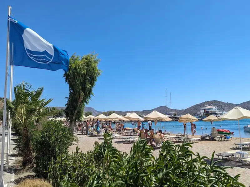
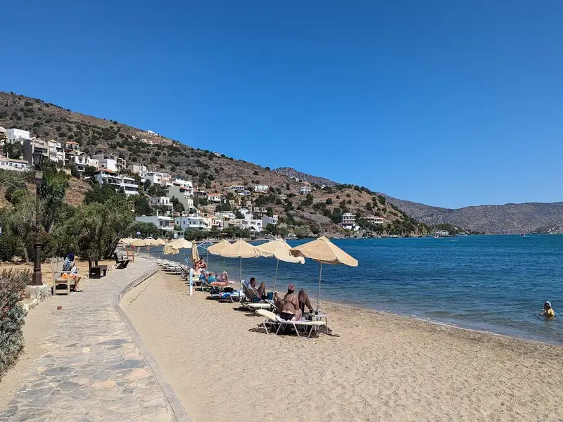
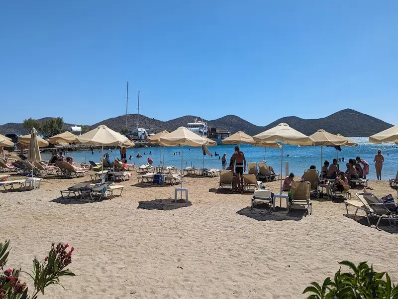
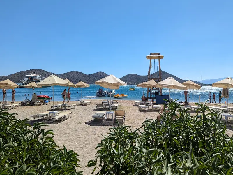
Kolokytha beach is located 2.8 km away.

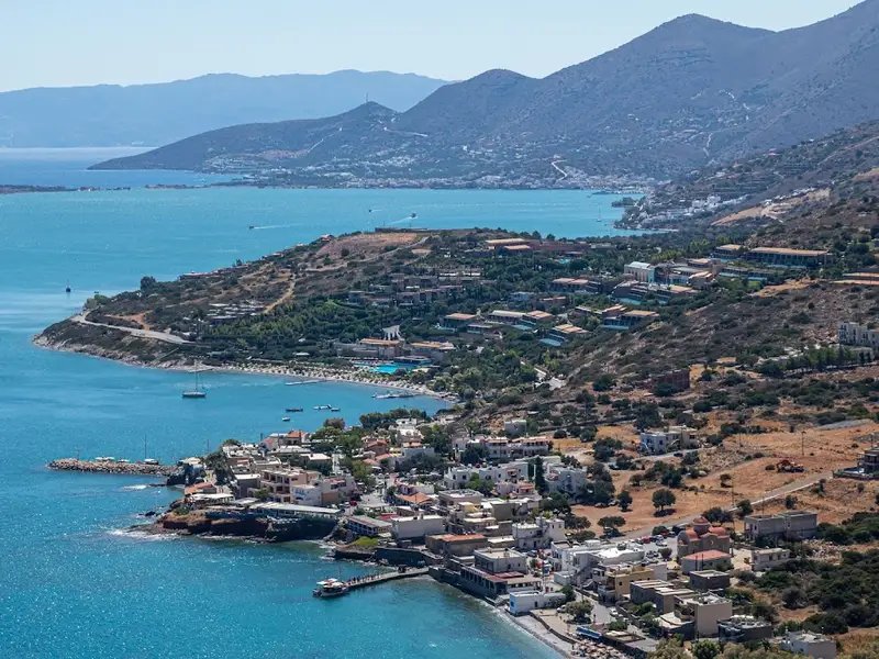
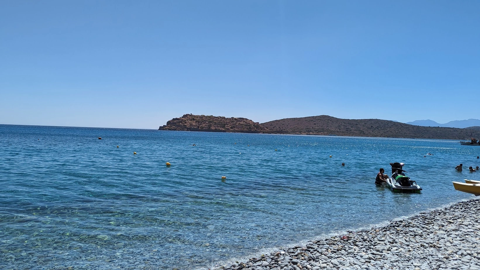
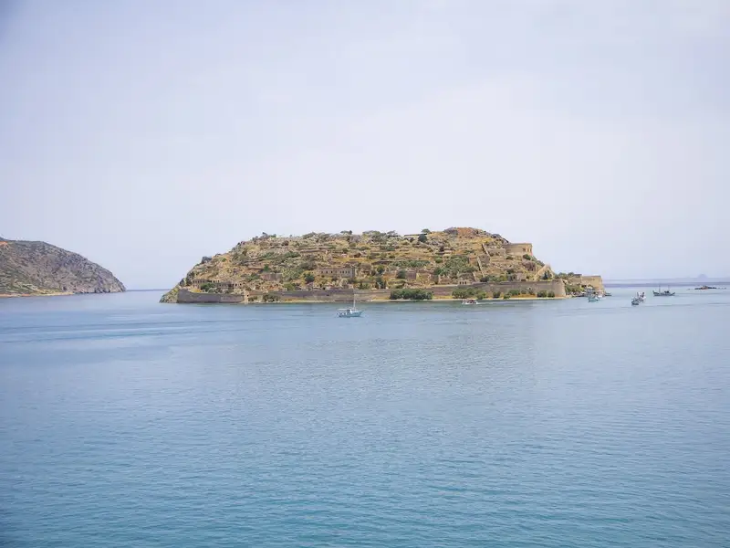
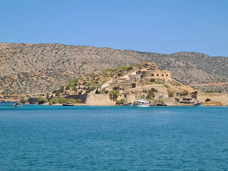
The small island of Kolokytha is situated directly across the Spinalonga Peninsula, a mere 12km north of Agios Nikolaos and nearby Elounda. The island faces the stunning Agios Loukas beach, also known as Kolokytha beach.

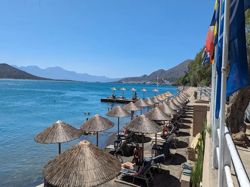
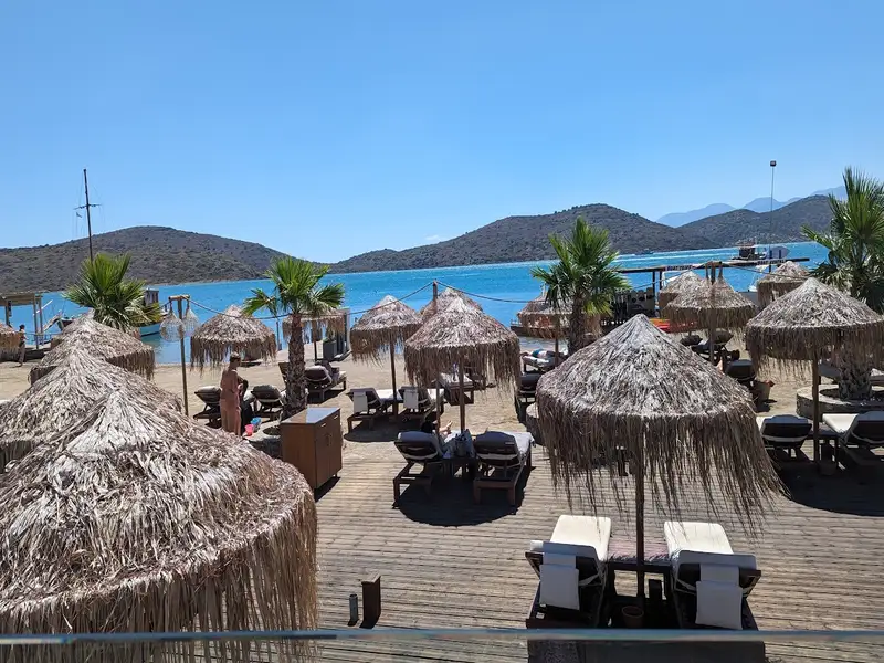
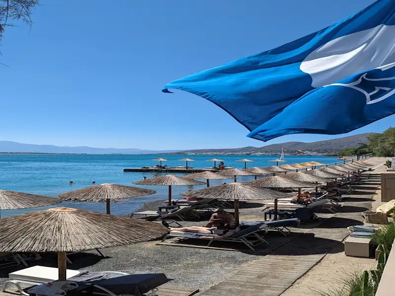
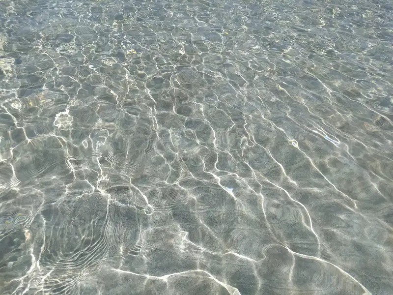
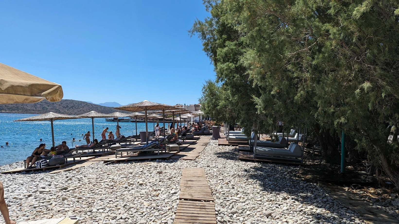
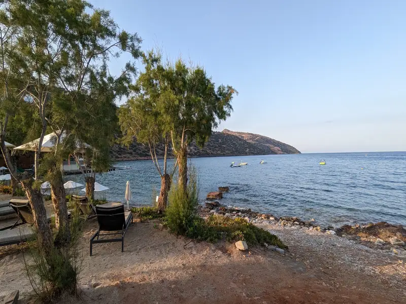
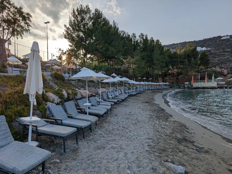
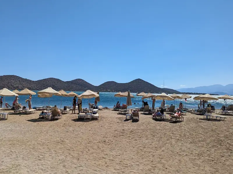
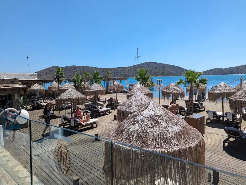
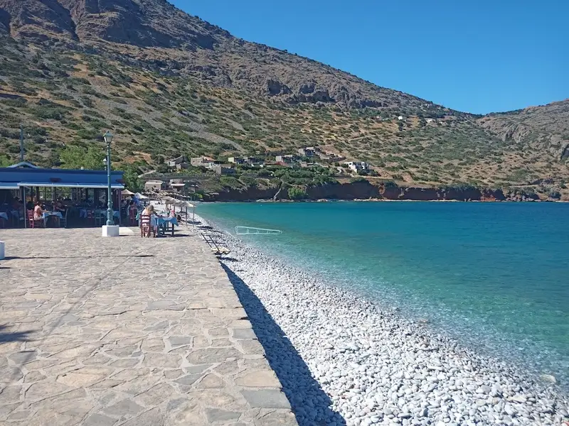
Kolokytha Beach, a secluded sandy haven, is nestled amidst protective cliffs. Known for its tranquil and crystal-clear waters, it’s perfect for a range of activities like swimming, sunbathing, and various water sports. This beach is a hotspot for recreation, offering opportunities for camping, snorkelling, and hiking. Its remote charm is enhanced by unspoiled, clear waters and a natural setting free from the clutter of umbrellas and sunbeds.

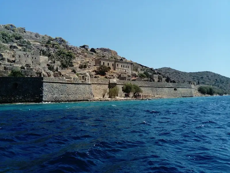
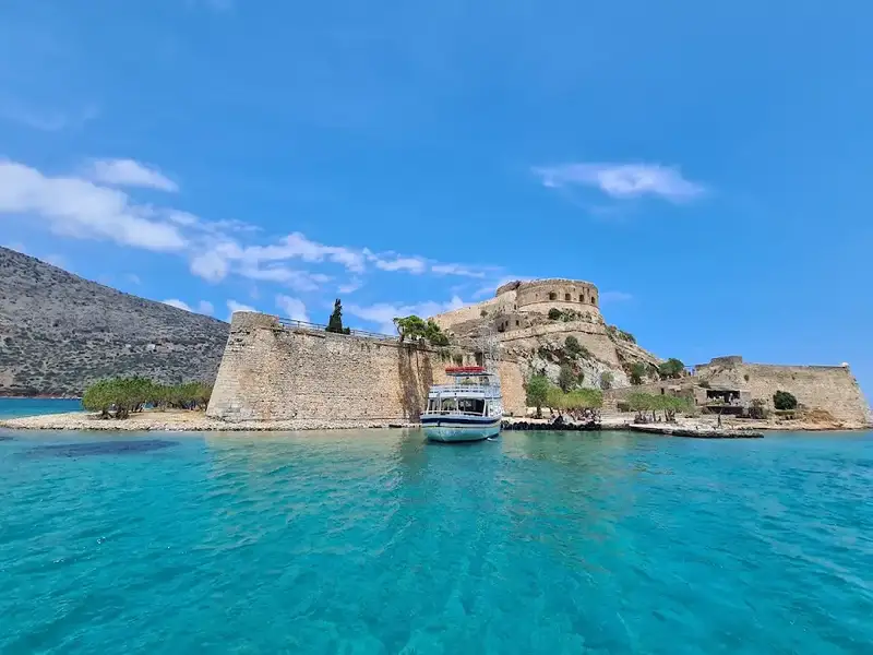
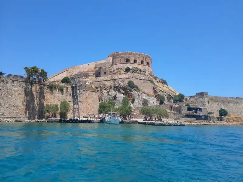
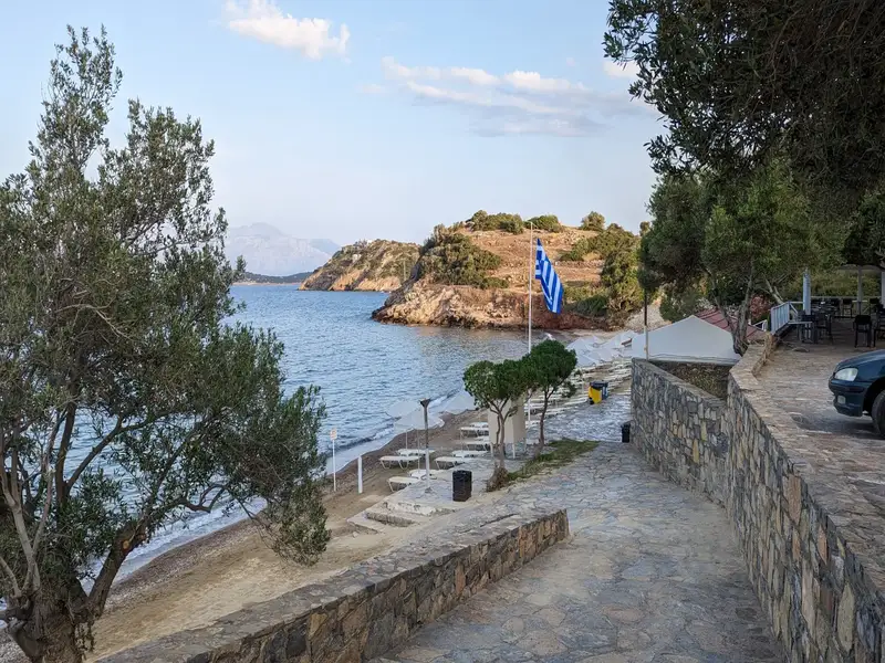
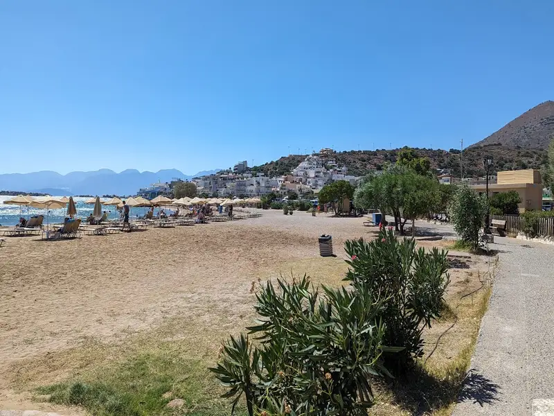
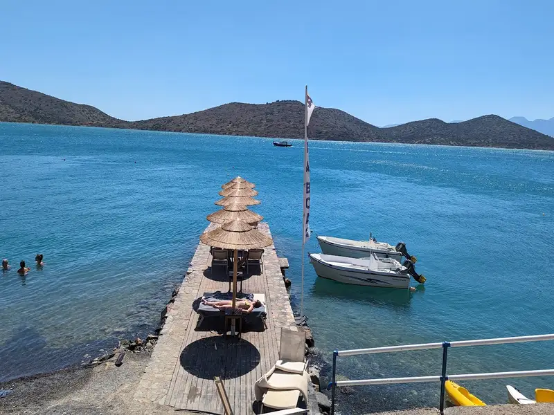
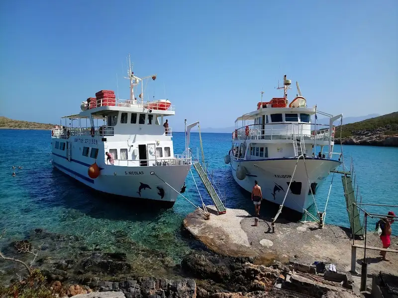
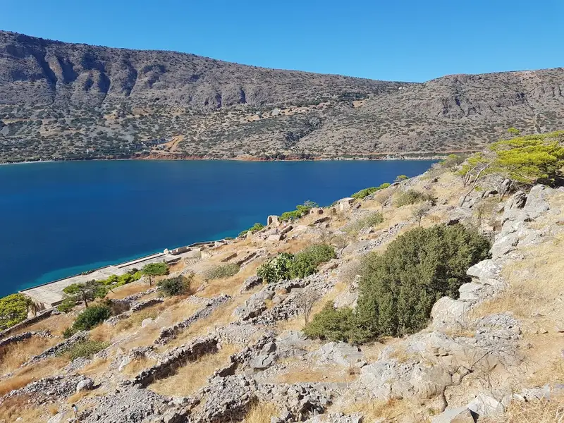
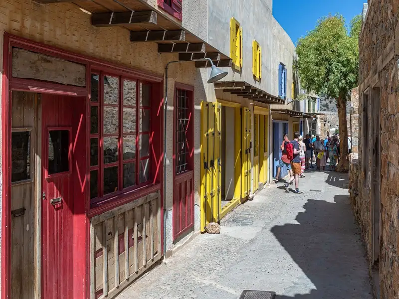
To reach the beach, a picturesque route from Elounda town is necessary, which takes you eastwards along the coastal road past the old Elounda salt pans. This road traces a thin stretch of land towards the Spinalonga Peninsula, sometimes mistakenly referred to as Kolokytha. Along this route, you will encounter a small canal created by the French army in 1897 to connect the Elounda lagoon to Mirabelo Bay. Surrounded by windmills, a charming bridge and boats in the canal, the landscape is truly unique. The road then transitions into a dirt track where you must make a right turn after 200-300m. This track will lead you across the Spinalonga Peninsula, offering breathtaking views of its rocky shores and deserted farms.

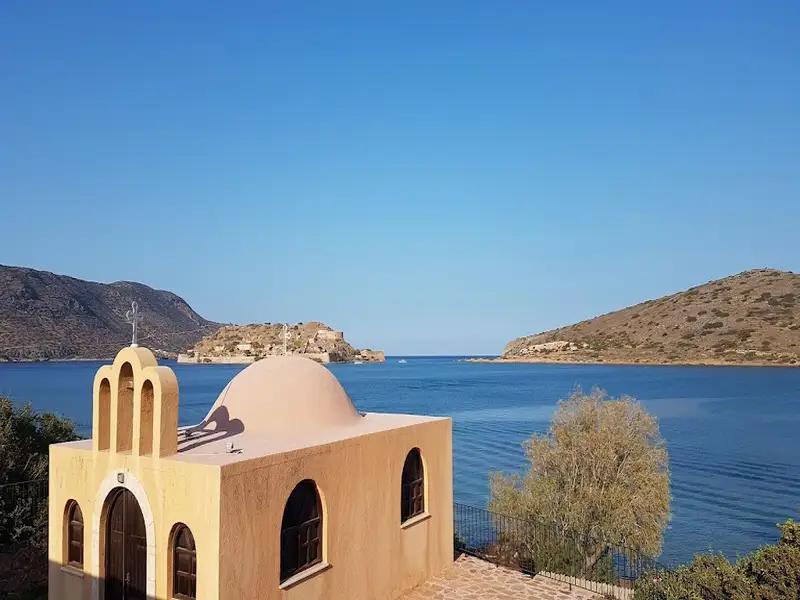
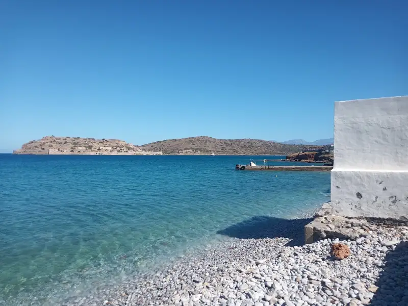
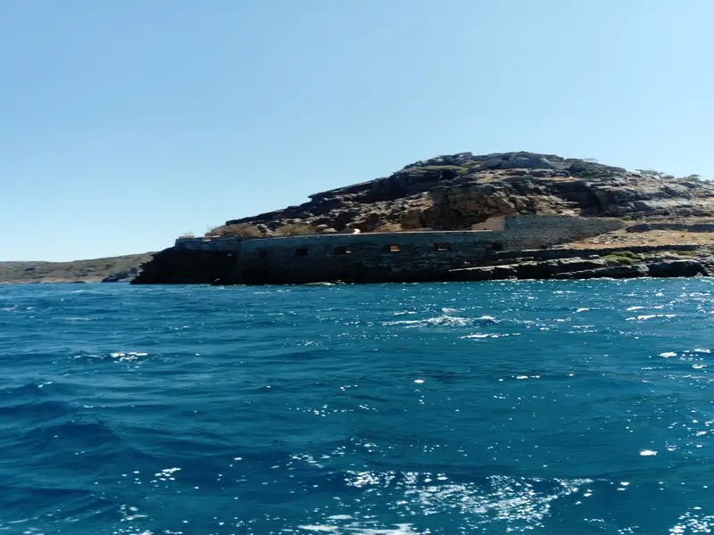
After a brief 3-4 minute journey, you will arrive at the church of Saint Luke, where it’s recommended to park. From here, you can see Kolokytha island, home to thousands of nesting gulls. The north reveals the Byzantine chapel of Saint Fokas, built to honor Byzantine emperor Nicephorus Phocas who freed Crete from the Arabs in 961 AD.

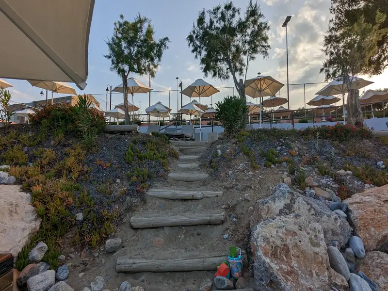
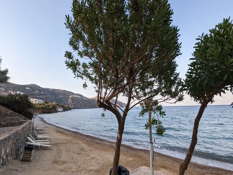
Though hidden from view at the chapel, the beach is nearby. Follow one of the 2-3 foot trails downhill and you’ll soon discover one of Crete’s most beautiful beaches. This secluded cove, with white sand and crystal-clear calm waters, is nestled among ancient olive groves and wheat crops. Despite its popularity and potential crowding during peak times, an early morning or late afternoon visit will reassure you of the beach’s exceptional charm.

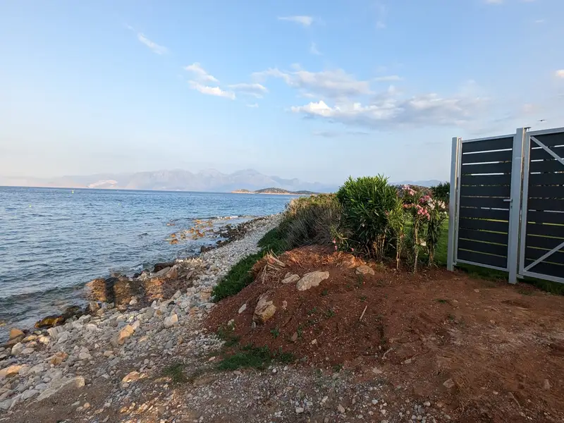
If solitude is what you seek, head southwards beyond the beach’s right edge. Here, you’ll find two quiet bays with sand, rocks, and several tamarisk trees, named Vagi after the Greek word for the Cretan date palm. While less striking than Kolokytha, they offer a haven for nudists and those seeking tranquillity. You can still see remnants of a small limestone quarry nearby. The broader area is dotted with abandoned farmlands and an old farmhouse close to the beaches.

  • Kolokytha beach
  • Sand, White Sand
  • Shallow
  • Turquoise
  • 2.9 km
Tsifliki (Driros) beach is located 2.9 km away.

The Tsifliki community is situated 13km to the north of Agios Nikolaos, along the route that links Elounda to the charming village of Plaka. This area is blanketed by olive groves and boasts stunning vistas of Elounda’s lagoon and the former leper colony, Spinalonga Fortress.

The local beaches are sandy, interspersed with occasional rocky areas, and feature tranquil waters. The beach named Dreros, after a nearby hotel, is abundant with tamarisk trees that stand close to the shoreline. The hotel has excellently maintained this beach, making it a perfect destination for families. The serene sea, the tree shadows that reach the beach, and the basic facilities of an organized beach all contribute to its appeal. Plus, the shops of Plaka and Elounda are conveniently nearby.

As previously noted, the most frequented beach in Tsifliki is named after an old hotel, Dreros. This name is not coincidental; it references the ancient Doric city of Dreros, positioned above the modern town of Neapolis. Dreros was home to the Dorians who came to Crete in 1125 BC, as well as the Eteokrites, who are indigenous Cretans and Minoan descendants. The hotel’s original proprietor hailed from Neapoli and named it Dreros in honor of his hometown’s ancient nearby city.

  • Tsifliki beach
  • Sand
  • Shallow
  • Blue
  • 3.7 km
Spinalonga beach is located 3.7 km away.

Spinalonga, a fortified islet, stands as one of Greece’s most popular tourist destinations. Visitors are ferried over from Elounda, Plaka, and Agios Nikolaos to explore the island that once served as a Venetian stronghold protecting their Elounda saltpans. The island’s later inhabitants were Ottomans, and eventually, it became a leper colony until the mid-20th century.

While most people are familiar with this history, many are unaware of the stunning beach located on the island’s southwest part. Here, visitors can enjoy a refreshing dip in the sea, lounge under tamarisk trees, and marvel at the fortress’s backdrop and the view of the Kolokitha peninsula.

Despite the nearby coast’s proximity, it’s advised not to swim over due to the strong sea currents and frequent ferry traffic.

  • Spinalonga beach
  • Rocks in places, Sand
  • Deep
  • Blue
  • 4.1 km
Plaka beach is located 4.1 km away.

Plaka, a picturesque village, is situated 16km north of Agios Nikolaos, on the opposite side of the Korfos (or Elounda) lagoon’s entrance, and boasts one of Crete’s most stunning landscapes. The village is renowned for its spectacular views of Kalydon Island, home to the famous Spinalonga fortress, a leper hospital during the early half of the 20th century. Access to the island is primarily via boats from Elounda and Plaka. Plaka’s existence is closely tied to Spinalonga, as it was established to serve the leper colony.

Present-day Plaka is a traditional village with charming old houses and taverns, giving a sense of time standing still for 2-3 centuries. Its idyllic setting made it the perfect filming location for the popular Greek TV series “The Island” (2010). A significant change to the landscape has been the construction of a large luxury hotel on the outskirts of Plaka.

Plaka is also notable for its two beautiful pebble beaches with clear waters. The first beach, named after the nearby Byzantine church and cemetery of Agia Marina, is located in the east of the village, in front of the large hotel. It is a popular fishing ground with a rough seabed in some parts and is organized by the hotel, providing basic services mostly to its residents. The second beach, Plaka beach, lies to the west of the village and has calm waters and an interesting seabed. It is well-organized and close to Plaka’s taverns.

Apart from visiting Spinalonga, it’s worth exploring the surrounding area when in Plaka. This includes the picturesque villages, ancient sites, and extensive olive groves of Ano Mirabello, the mountainous region west of Plaka. Venturing north of the village, you’ll encounter the village of Vrouchas with its old windmills, and further east, the Aforesmenos Cape lighthouse at the northwest tip of the vast Gulf of Mirabello, along with the area’s modern wind farm. Another recommended route is through Mirabello and its scenic villages, leading to either Neapoli or Milatos, where you can find the main road to Heraklion.

  • Plaka beach
  • Pebbles
  • Normal
  • Blue
  • 5.3 km
Katsikia (Candia) beach is located 5.3 km away.

As you head north from Agios Nikolaos towards Elounda, the final beach you’ll find is Katsikia Beach also called Candia beach. This spot gets its name (Katsikia means “goats”) from the numerous goat pens that used to dot the area in the past. The town of Agios Nikolaos also has a similar history, as it was once called Mandraki, meaning “goat pen.”

Katsikia (Candia) is a lovely beach, featuring a mix of sand and some scattered stones. It’s tucked away in front of the Candia Park Village hotel, making it a sort of hidden gem. If you’re planning to visit, you can either walk through the hotel or follow the road around it to reach the beach. It’s a peaceful, charming spot that’s definitely worth exploring when you’re in the area.

  • Katsikia beach
  • Sand
  • Shallow
  • Blue
  • 5.8 km
Havania beach is located 5.8 km away.

Havania Beach, a picturesque bay located near Agios Nikolaos on the route to Elounda, exudes an irresistible charm. With its fully-equipped municipal beach offering ample parking, a food canteen, and lifeguard facilities, it’s an ideal spot for family outings and peaceful vacations. The proximity to the city guarantees easy access to all necessary amenities, ensuring a comfortable stay. Moreover, it’s conveniently reachable from Heraklion, whether you’re arriving by air or sea.

Scenic Beauty and Accommodation Around Havania Bay

With its pristine, tranquil waters and a mix of sandy and pebbled shoreline, Havania beach stands out as a haven for both locals and tourists. The bay area houses a range of hotel complexes and other lodging options, with breathtaking views of the Gulf of Mirabello. Unlike other local beaches blocked by waterfront hotels, Chavania’s accessibility is a major plus. The nearby Mirabello and Candia beaches provide alternative locations to set up base.

Abundance of Nearby Attractions

The area surrounding Havania Beach is rich in attractions, guaranteeing a delightful variety for all. Just 10 km away lies the village of Plaka, from where you can ferry to the historically significant Spinaloga Island. Recently popularized by Victoria Hislop’s novel, “The Island”, Spinaloga was a leper colony from 1909 to 1957, but its history stretches back to ancient times. A journey inland leads to the villages surrounding Mount Dikti, offering a challenging but rewarding road trip. Discover meat tavernas, fresh air, lush plateaus, and numerous archaeological sites. For those preferring the east, the quiet coastal villages towards Sitia offer secluded beaches and serenity.

  • Havania beach
  • Sand
  • Normal
  • Blue
  • 6.2 km
Mirabelo beach is located 6.2 km away.

Just a short 2km journey north of Agios Nikolaos, you’ll find the inviting Hotel Mirabello. Sitting right across from the hotel, you’ll be delighted by the sight of two gorgeous sandy beaches nestled in the Mirabello bays.

The first beach boasts a safe harbour with docks and a quaint little marina, while both are decked out with everything you need for a great day under the sun – umbrellas, comfy sunbeds, refreshing showers and a lively bar.

Between the beaches, there’s a tiny man-made peninsula sprinkled with tamarisk trees. It’s a perfect spot to catch a break from the sun or enjoy a peaceful stroll. No matter where you are in this coastal paradise, you’re bound to have a good time!

  • Mirabelo beach
  • Sand
  • Normal
  • Blue

© All rights reserved. Crete Locals