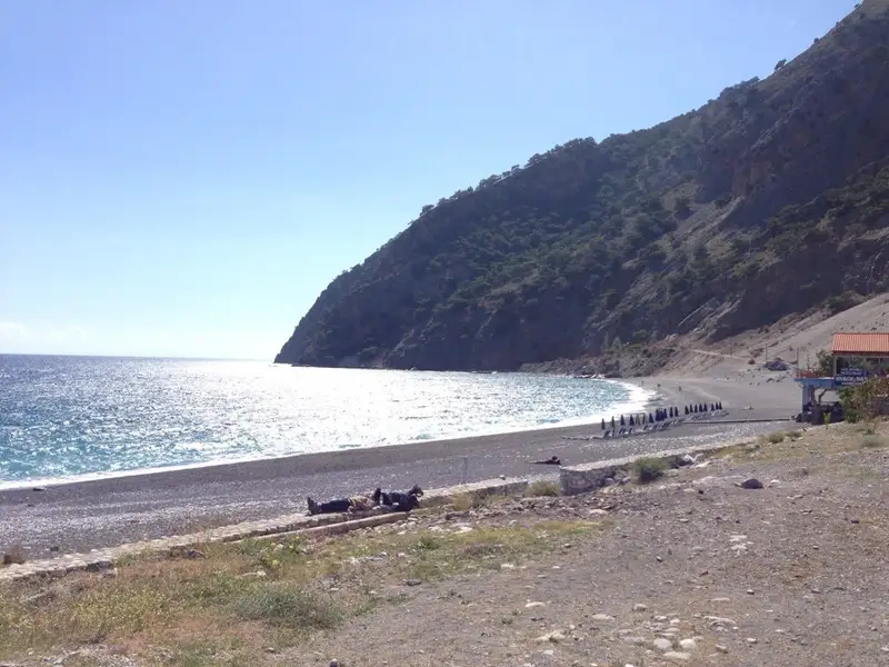
Situated 56km south of Chania city, Agia Roumeli is a quaint village nestled in the wide bay at the exit of Samaria Gorge. This serene village, set against the rugged and mountainous backdrop of Sfakia province, attracts thousands of visitors every day who descend through the gorge. The village can be reached either by trekking through the gorge or by taking a ferry from Chora Sfakia, Loutro, Paleochora, and Sougia. The village offers basic amenities like traditional taverns, accommodation facilities, cafes, a mini market, internet access, and a telephone.
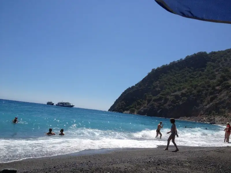
From 13:00 to 16:00, the village and its beaches are bustling with visitors, but it regains its tranquillity after the departure of the ferries. An overnight stay in the village offers a unique opportunity to appreciate the beauty of this place, its warm-hearted inhabitants, delectable food, and breathtaking natural beauty.
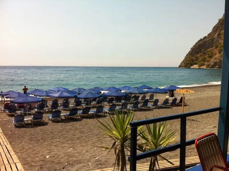
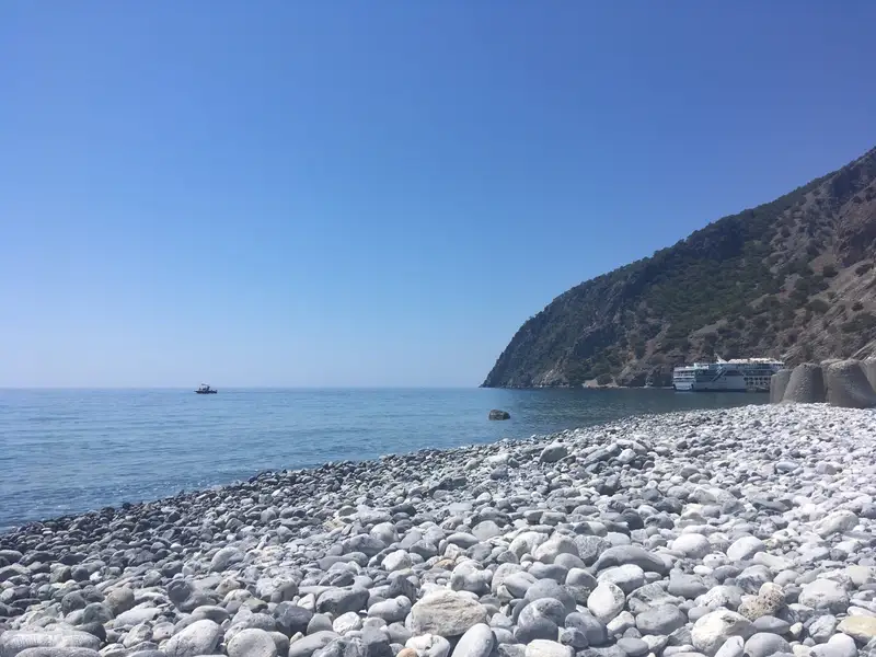
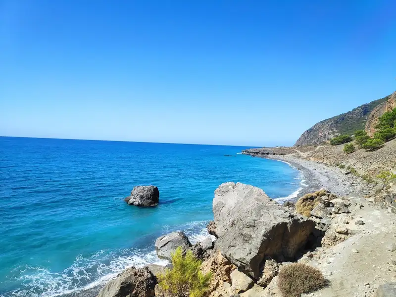
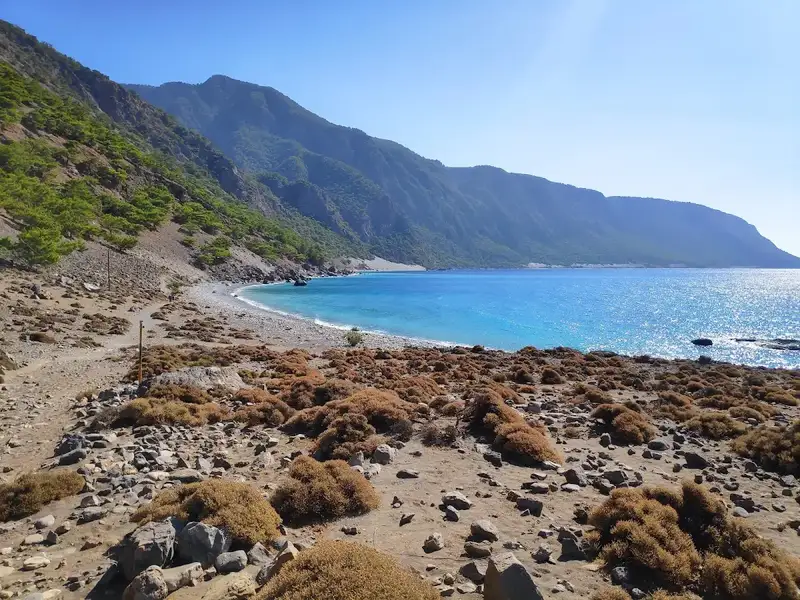
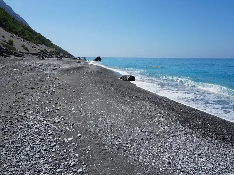
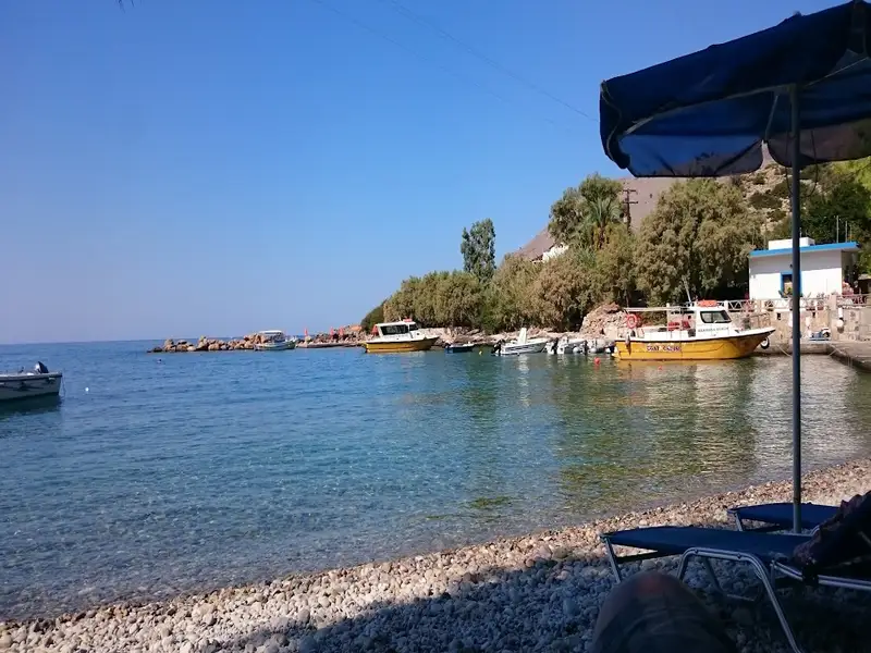
The magnificent beaches of Agia Roumeli spread over a length of 3km or more. The area near the village is more crowded and organized, with Gialos beach in front of the taverns being the most developed and crowded. Other beaches include beautiful pebbly beaches at Zeromouri, Mashali, and beaches near the caves known as Spilies sto Marmaro or Caves in Marble.
The Samaria Gorge, the longest in Europe at 18km, is a prime attraction, drawing thousands of tourists in summer who trek the distance in about 6 hours. Some tourists visit Crete specifically to traverse the majestic gorge. If time is a constraint, you can start from Agia Roumeli and walk backwards.
Agia Roumeli is built on the ruins of the Roman settlement, Tara. The ruins of the Temple of Apollo (or Artemis) and the old church of Panagia (Virgin Mary) built in 1500 can be found west of the village. A ruined Turkish castle (Kule), offering spectacular views of the village, the Libyan Sea, and the islands of Gavdos and Gavdopoula, sits atop the hill above the village. Nearby, you can visit the beautiful church of St. Anthony nestled in a rocky cavity.
About 2km north of the village, within the gorge, lies the old village of Agia Roumeli, surrounded by greenery. Here, you can find ruins of old houses and some restored homes. The village, devastated by floods in 1954, was relocated to its current location in Agia Roumeli.
Agia Roumeli’s people and food are attractions in themselves. The locals are true Cretans, warm and welcoming, offering home-bred meat, cheese, vegetables, and honey in their restaurants. Despite the influx of tourism, Agia Roumeli has retained its authenticity and charm, offering visitors a chance to experience traditional Cretan hospitality, savor local delicacies, and enjoy the serenity of nature.
Nestled 56km south of Chania city, Agia Roumeli is a quaint village that sits on a broad bay at the mouth of the Samaria Gorge. This spot sees a daily influx of visitors who descend the gorge to primarily swim along the central beach, which is conveniently located right before the beachside taverns. However, several picturesque and peaceful beaches are also available for exploration in the vicinity.
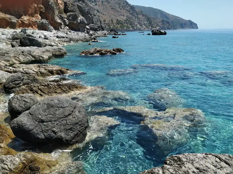
One such tranquil beach can be found on the east side of the settlement, past the Samaria Gorge river and beneath the remnants of ancient Tarra. Here, at Zeromouri, stunning rock formations and cavities give way to pebbly beaches that are typically deserted. As one ventures further, the beach transitions into a rocky terrain suitable for nudism and snorkelling, extending eastwards all the way to the beach of Selouda or Agios Pavlos.
Agia Roumeli, a quaint isolated village, lies 56km to the south of Chania city, situated in a broad bay at the mouth of the Samaria Gorge. It’s a popular spot for tourists who descend the gorge daily, basking in the sun on the main beach, Gialos, which stretches before the taverns. More adventurous travellers can explore the serene and picturesque beaches in the vicinity, with Mashali, the western part of Agia Roumeli bay, being one of them.
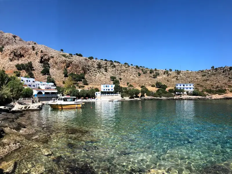
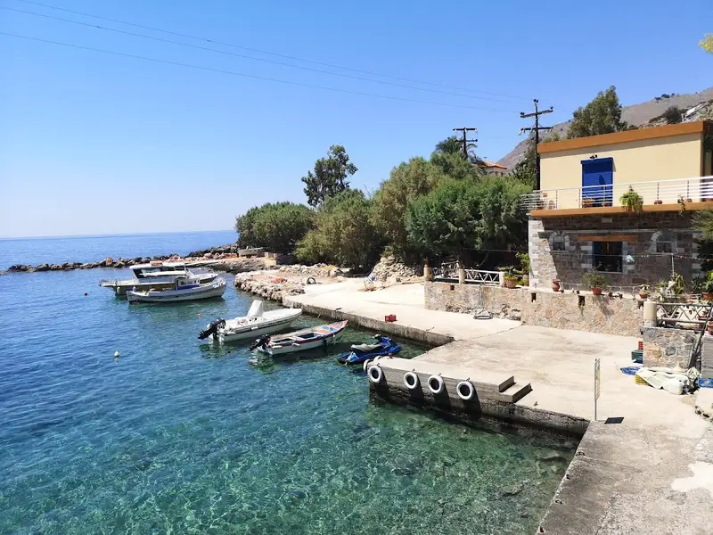
A secondary boat dock, associated with a solitary tavern that offers rooms, is present. Two stunning beaches with fine pebbles are adjacent to this dock. The tavern provides complimentary sunbeds, umbrellas, and canoes. Large rocks on these beaches offer shade and privacy, making it a haven for nudists. Care must be taken while traversing the main road from the tavern to the dock, due to occasional stonefalls caused by mountain goats. While these stonefalls are not highly dangerous, it’s safer to walk on the left side, away from the mountain walls.
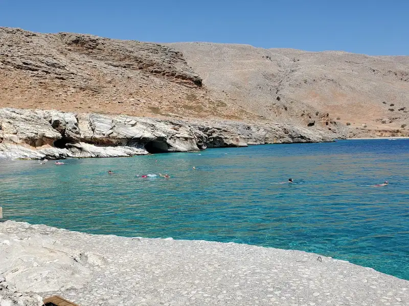
Venturing further from Mashali by swimming or kayaking beyond the beach’s western edge, leads to three caves. These caves are fronted by small pebbled beaches, referred to as Spilies to Marmaro, or ‘Caves in Marble’.
Kalogeros is a pristine beach adorned with deep blue waters and fine pebbles, situated 57km to the south of Chania city, 11km to the east of Sougia, and 1km to the west of Agia Roumeli. Its proximity to the western edge of Agia Roumeli is worth mentioning.
The beach is a haven of tranquility, making it a favorite spot for nudists due to its seclusion. It is surrounded by pine trees and features a small cave providing shade and a place to camp. However, there are no amenities nearby, and the only way to reach this place is either by boat or by swimming from Agia Roumeli, which takes around an hour.
The beach’s name, Kalogeros, is derived from the Greek term καλόγερος (transliterated as Kaloyeros), meaning monk. This name was inspired by a massive vertical rock in the sea that resembles a monk.
Kalogeros is an ideal choice for those seeking solitude, which is a common trait among all the surrounding beaches. Between Kalogeros and Agia Roumeli, the coastline is dotted with small beaches nestled among gigantic cliffs. These are known as Spilies to Marmaro, translating to “Caves in Marble.”
Fournoti is a stunning beach situated 57km to the south of Chania city, 10km to the east of Sougia, and 1.5km to the west of Agia Roumeli. It’s an attractive spot with deep azure waters, fine pebbles, and is flanked by pine trees. Nestled within one of Greece’s most picturesque locations, the rugged Mountains of Sfakia, this beach is secluded and can only be accessed by boat. It’s devoid of any organization, adding to its charm. Although some brave swimmers opt to navigate the waters from or to Agia Roumeli (a 1-2 hour journey), it’s generally not recommended. Fournoti is an ideal spot for those seeking solitude, even during peak season. A cave located on the beach serves as a perfect camping spot and provides shade.
Interestingly, Fournoti is the sole habitat of the plant Hypericum aciferum, which has piqued the interest of biologists. Yellow signs dot the rocky cliffs surrounding the beach, marking the spots where this plant grows. Therefore, visitors are urged to respect and avoid disturbing this native species.
Agios Pavlos, or Saint Paul, is a stunning beach located at Opiso Egiali in Selouda bay, situated 3km east of Agia Roumeli and 6km west of Loutro, at the mouth of the wild Eligia Gorge. The beach is completely cut off from society, with the only access being by boat or an extensive hike along the E4 European Trail that runs parallel to the sea. The journey on foot from Agia Roumeli takes approximately 50 to 60 minutes.
The beach boasts clear grey and brown sand and is tucked away in a charming small pine forest. However, amenities are limited, with only a small tavern offering water and food nearby. Whilst there is ample shade provided by the pines, these trees are not situated on the beach, so it’s advisable to bring an umbrella.
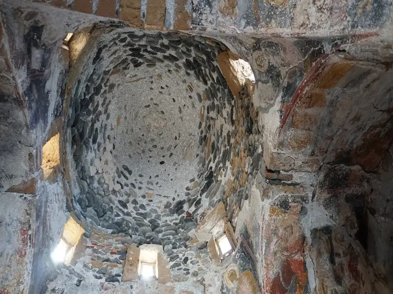
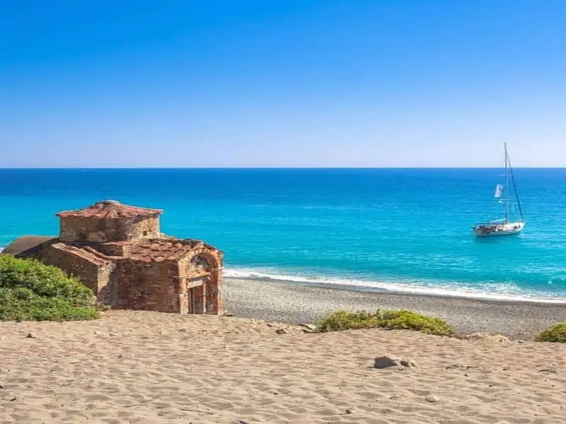
The beach’s name, Agios Pavlos, translates to “Saint Paul” in Greek, a name it shares with the ancient Byzantine church of Saint Paul located in Selouda. The church is believed to be the spot where Saint Paul baptized individuals on his journey to Rome. It’s a quaint, picturesque church, constructed on the beach using beach stones, which makes it difficult to spot from a distance. The church features a cruciform architecture with an equidimensional cross and a dome over the center, set amidst a breathtaking natural backdrop. Constructed in the tenth century by Saint John Xenos, its frescoes are thought to be from the thirteenth century.
The picturesque Domata beach, positioned 7km east of Sougia and 58km south of Chania city, resides at Tseses. This beach marks the end of the Klados gorge, a wild and rugged landscape. Its unique natural beauty is a result of the erosive power of water. The name Domata, translating to “roofs”, is derived from the layered structure of the surrounding conglomerate rocks, reminiscent of enormous walls. The beach owes its creation to the large amounts of pebbles and dirt deposited by the gorge, and the continuous oscillation of the sea and air.
The beach is striking, with its fine pebbles and transparent blue waters. By digging in the sand, you can discover fresh water from subterranean springs. As anticipated, the area is devoid of roads and infrastructure. However, the abundant pine trees near the beach provide natural shade and ideal camping spots. The southernmost section of the beach, separated from the main beach of Domata by rocks, is known as Kolotrividis, named after the adjacent cape.
You can reach Domata via the E4 European trail, which heads east and guides you to Agia Roumeli (a 3 -4 hour walk). Be cautious though, as the trail ascends to an altitude of 700m, with some sections being steep and potentially hazardous.
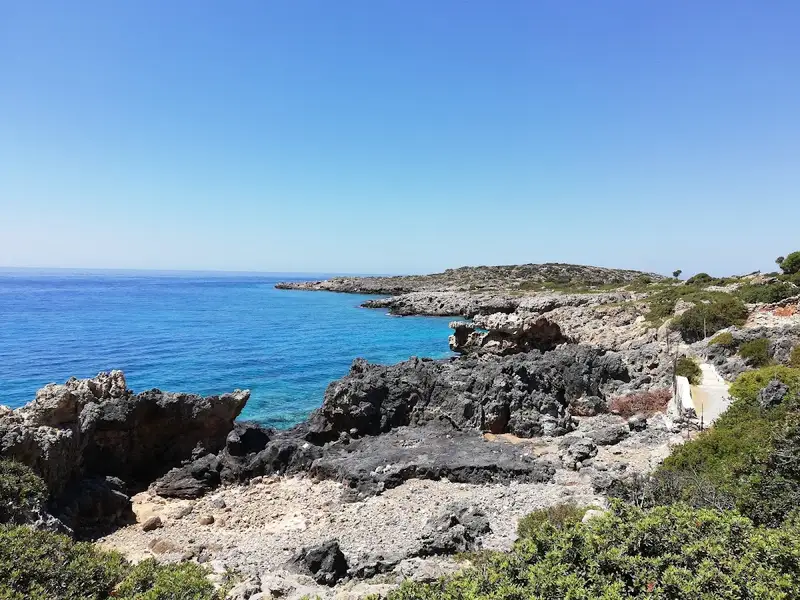
The rocky beach of Tripiti is located 5km east of Sougia and 68km south of Chania city, at the ending point of the wild gorge of Trypiti. It is absolutely secluded, like all the beaches of the wider Sfakia area. Access to Tripiti is possible either by boat or by walking on a difficult path from Sougia (three hours). The vertical cliffs near the beach provide natural shade. If you walk 500m east to the beach, you’ll meet the much nicer pebbly beach of Sendoni, used by beekeepers.
Tripiti is believed to be the site of the ancient town Pikilasos with the protected natural harbour. The port has been converted to a reef with incredible formations after some geological changes during the 4th AD century. Inscriptions have been discovered in the area, revealing the existence of a temple dedicated to Serapis (Greco-Egyptian god of antiquity). Moreover, archaeologists have discovered several tombs, carved in the rocks.
On the beach, there is a cistern with water, a goat pen and the picturesque church of Agios Nikolaos. If you are in the area on July 19, you can take part in the celebration of the Prophet Elijah, which celebrates on July 20. The pilgrims arrive by boat in the afternoon on the beach of Trypiti and then walk on the path leading to the chapel of Prophet Elijah, 400 meters above sea level. They spend the night there with food and traditional Cretan songs and leave the next day. On the peak of the same hill, there are the ruins of Fort Voukelasi.
Dialiskari, also known as Marmara beach, is a stunning secluded pebble-filled bay situated near the end of the majestic Aradena Gorge, within the Sfakia region. It is situated 85km to the south of Chania city and 5km to the west of Loutro. This beach serves as a resting spot for the hikers of Aradena Gorge before they proceed towards Loutro.
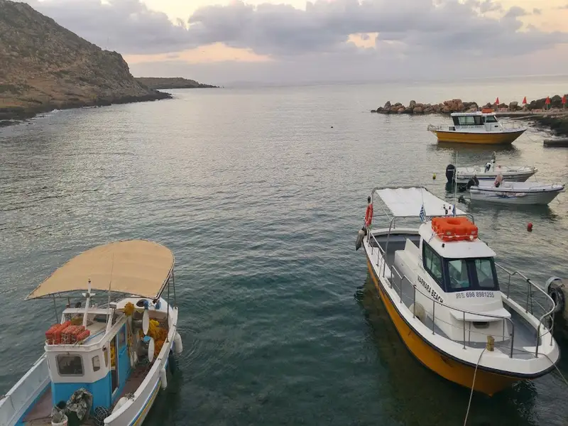
Marmara, translating to “marbles”, gets its name from the soft colourful rocks and the sea caves that are the highlight of this location. The beach is a 60-minute walk from the nearest inhabited beach of Lykos and a 75-minute walk from Loutro. The absence of roads only allows for access by foot or boat. Near the beach, there’s a quaint tavern offering delicious food (be sure to reserve in advance!) and beach umbrellas.
During the summer months, there are daily boats available from Loutro. If you find yourself in the Loutro area, a visit to Marmara and a hike through the Aradena Gorge come highly recommended.
Finikas, also known as Phoenix, is a quaint harbour situated in the Sfakia province, about 83km south of Chania city. It lies approximately 700m west of Loutro, within the broader Livaniana village area. The area was named after the ancient town of Phoenix, whose remnants can still be found near Loutro. It served as the port for the ancient city of Anopolis. The European E4 hiking trail that links Marmara beach (the Aradena Gorge exit) to Loutro village traverses through Finikas. A massive rock to the west separates Finikas from the Likos harbour.
Within the Finikas port, there is an attractive pebble beach. It’s reasonably well-equipped with umbrellas and canoes. Visitors can take advantage of the reasonably priced boat trips to and from Loutro and Marmara. There’s also a charming tavern right on the beach and several rooms where one can unwind and enjoy the peaceful surroundings.
You can access Finikas via a drivable dirt road from Livaniana (through Anopolis). Alternatively, the easiest way to reach the beaches is by taking a boat from Chora Sfakion or Loutro.
No results available
No results available
© All rights reserved. Crete Locals