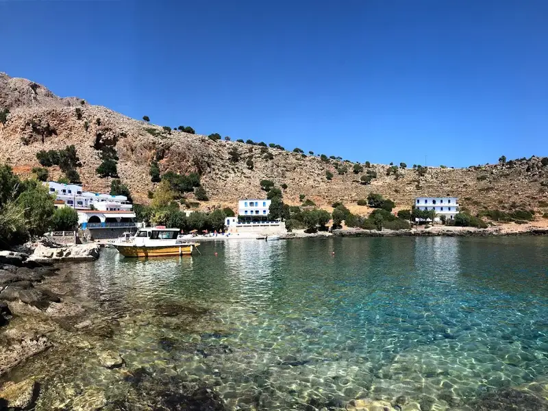
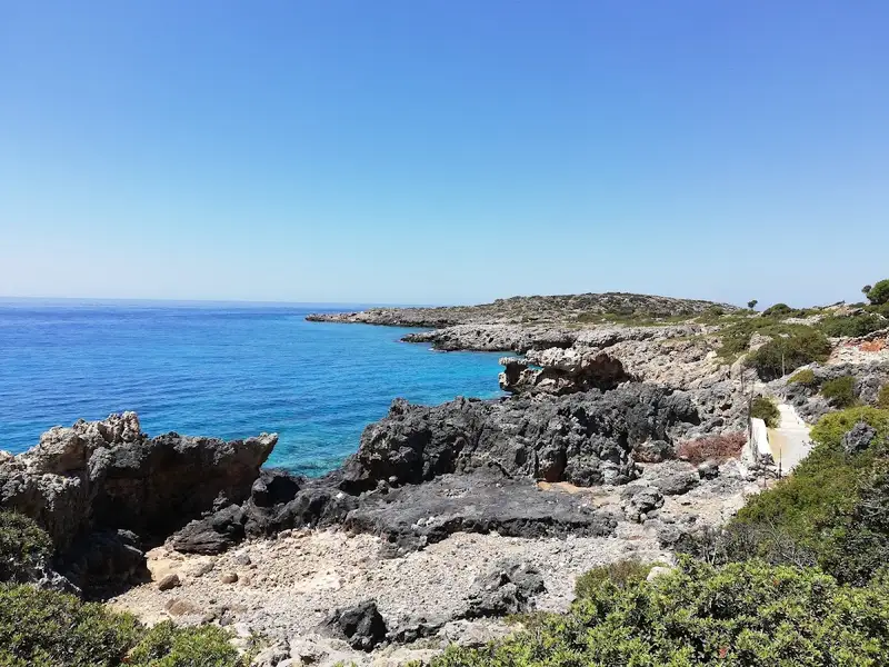
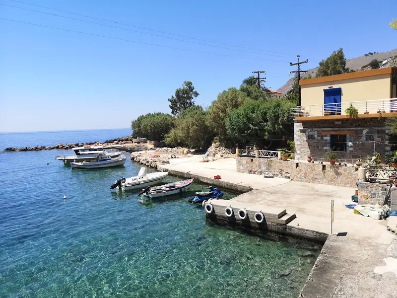
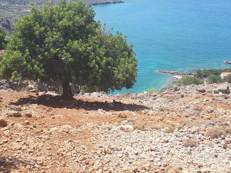
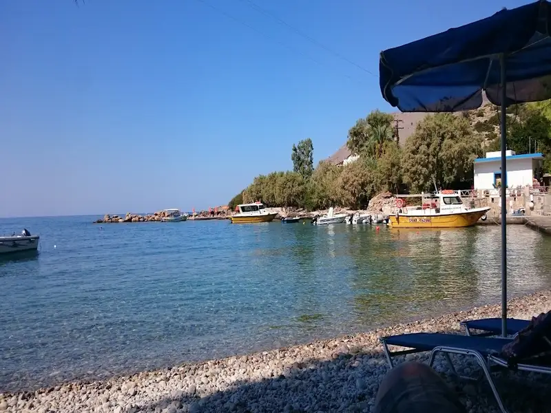
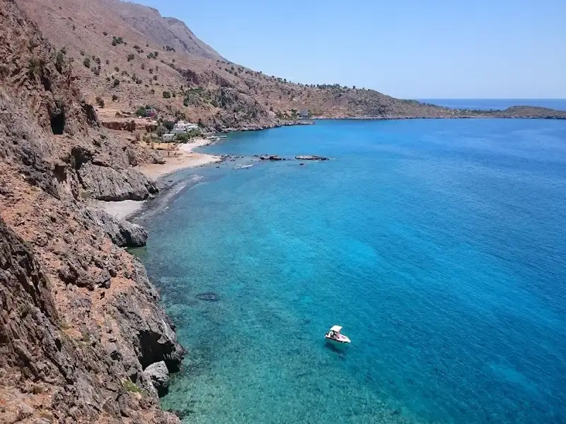
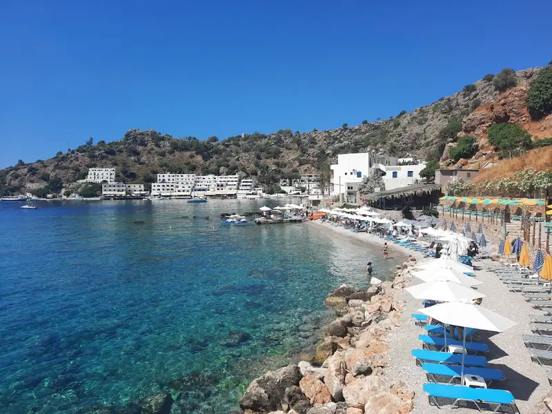
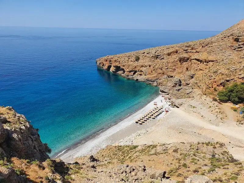
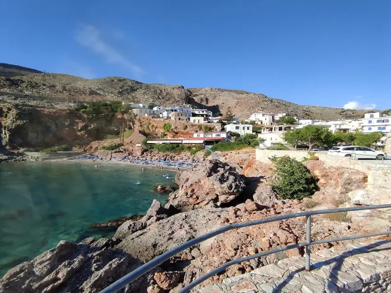
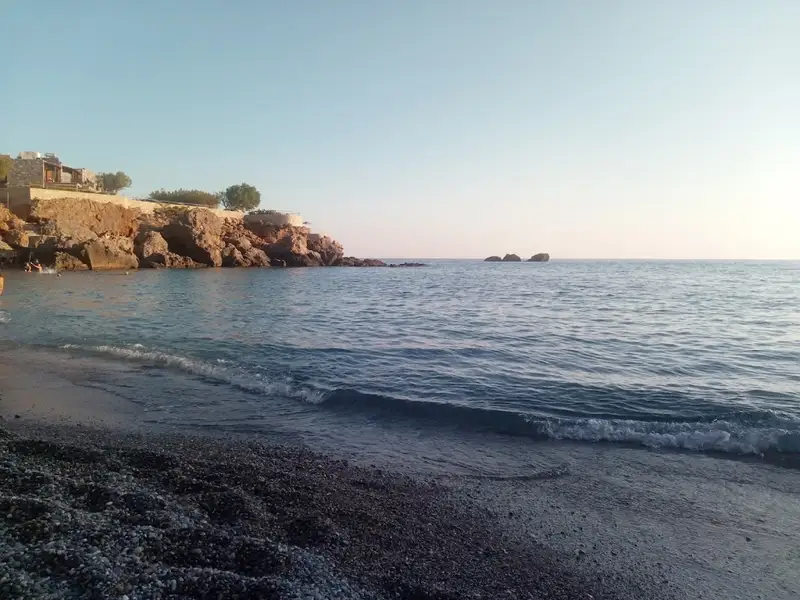
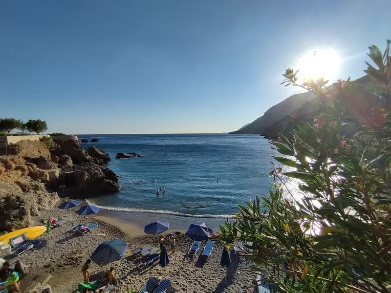
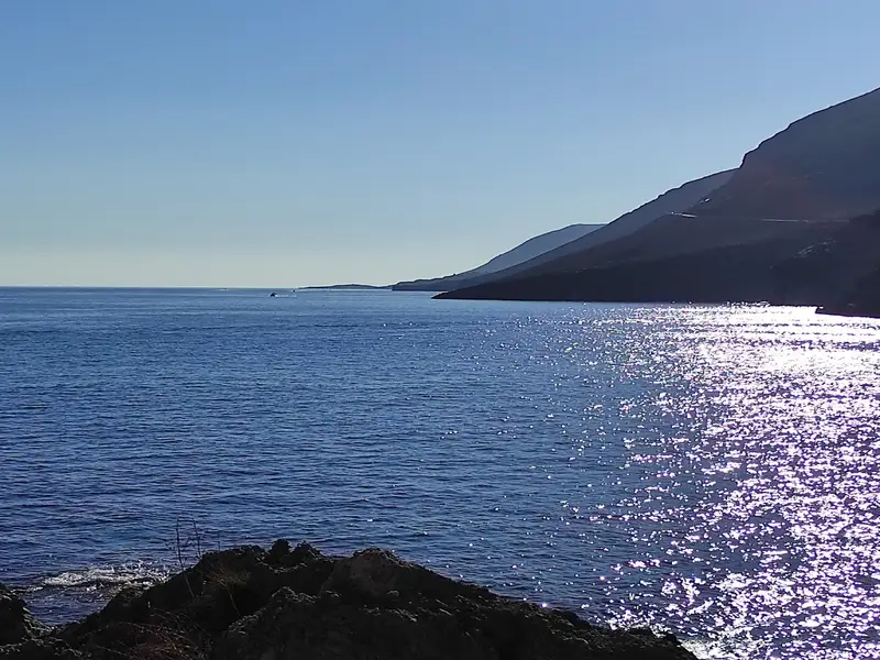
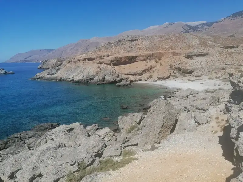
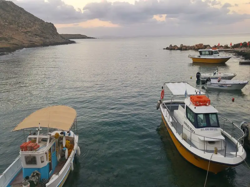
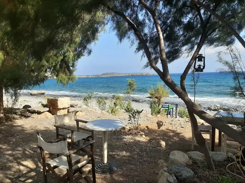
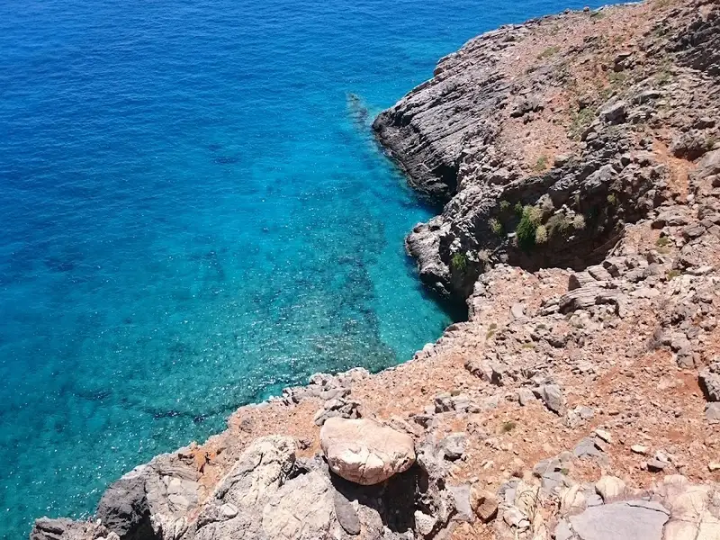
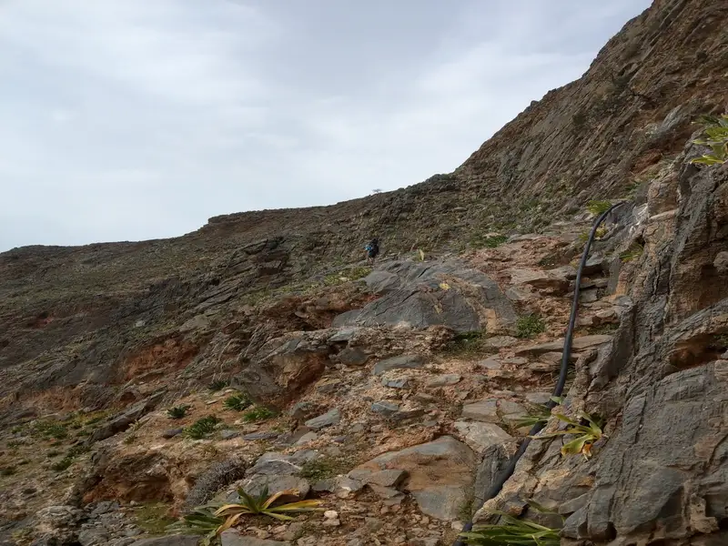
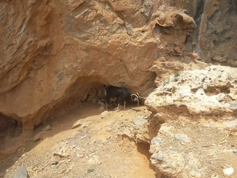
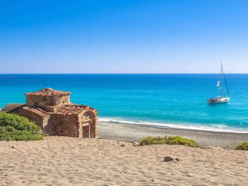
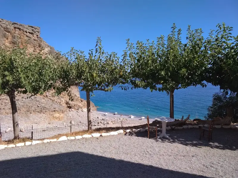
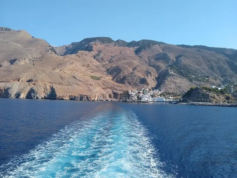
Finikas, also known as Phoenix, is a quaint harbour situated in the Sfakia province, about 83km south of Chania city. It lies approximately 700m west of Loutro, within the broader Livaniana village area. The area was named after the ancient town of Phoenix, whose remnants can still be found near Loutro. It served as the port for the ancient city of Anopolis. The European E4 hiking trail that links Marmara beach (the Aradena Gorge exit) to Loutro village traverses through Finikas. A massive rock to the west separates Finikas from the Likos harbour.
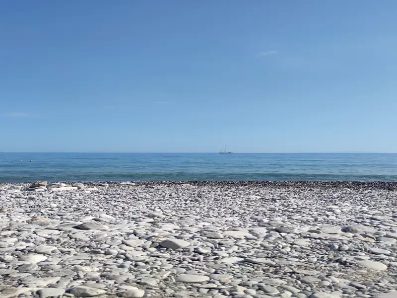
Within the Finikas port, there is an attractive pebble beach. It’s reasonably well-equipped with umbrellas and canoes. Visitors can take advantage of the reasonably priced boat trips to and from Loutro and Marmara. There’s also a charming tavern right on the beach and several rooms where one can unwind and enjoy the peaceful surroundings.
You can access Finikas via a drivable dirt road from Livaniana (through Anopolis). Alternatively, the easiest way to reach the beaches is by taking a boat from Chora Sfakion or Loutro.
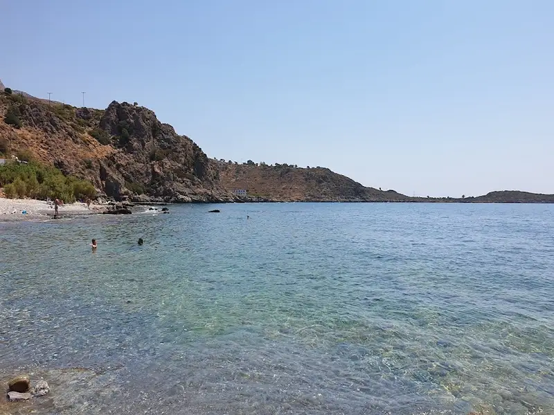
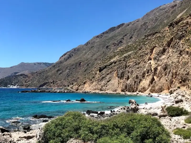
Likos is a coastal hamlet featuring a diminutive port, situated 900m west of Loutro and 83km south of Chania, on the outskirts of the virtually uninhabited village of Livaniana. Nearby to the east lies the somewhat larger community of Finikas (Phoenix), with a rocky hill serving as a border between them.
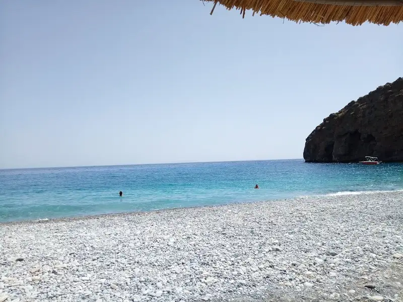
The beach at Lykos, in comparison to Finikas, is considerably rocky and houses a small dock for boat arrivals, although it is exposed to southern gusts. Despite not standing out as a beach, its serenity and abundant marine life make this secluded spot worth exploring. Traditional taverns, offering a limited number of rooms, provide a chance for visitors to escape their hectic daily routines.
The European pathway E4, connecting the Marmara beach at the exit of the Aradena Gorge with Loutro, traverses Lykos. The most frequent means of arriving, however, is by private or rented boat from Hora Sfakion or Loutro. Another option for those preferring to arrive by car is to drive from Chora Sfakion to Anopolis, then continue to the village of Livaniana. A dirt road from there leads to Likos and Finikas. The drive from Anopolis, taking approximately half an hour, is thoroughly enjoyable due to the stunning natural beauty and untamed landscape.
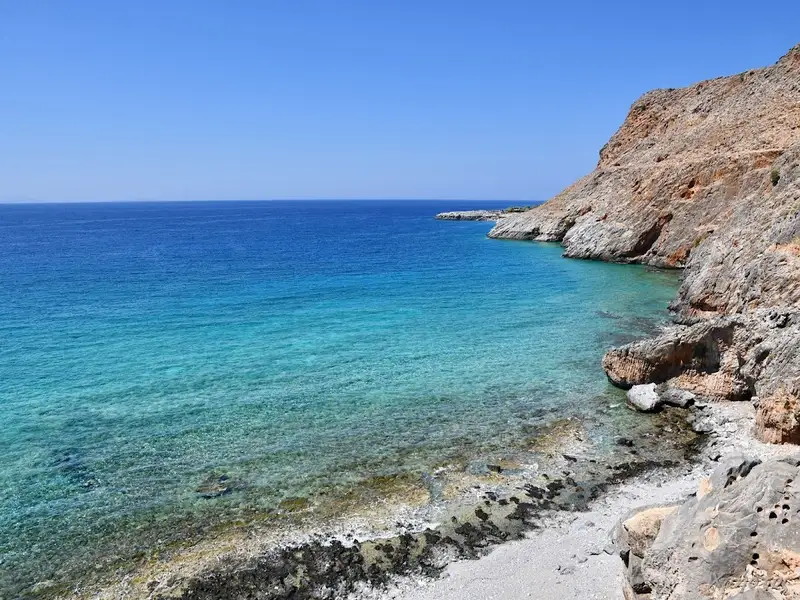
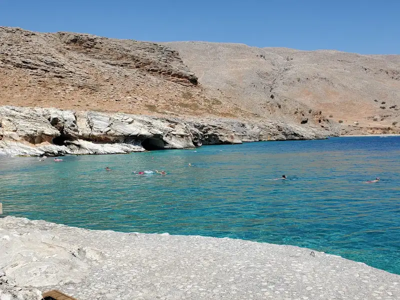
Dialiskari, also known as Marmara beach, is a stunning secluded pebble-filled bay situated near the end of the majestic Aradena Gorge, within the Sfakia region. It is situated 85km to the south of Chania city and 5km to the west of Loutro. This beach serves as a resting spot for the hikers of Aradena Gorge before they proceed towards Loutro.
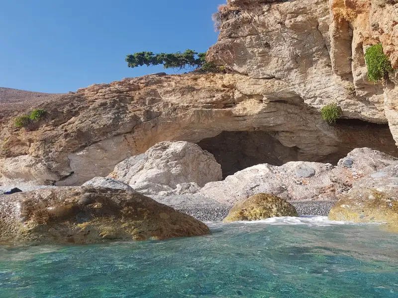
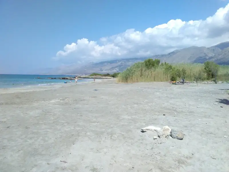
Marmara, translating to “marbles”, gets its name from the soft colourful rocks and the sea caves that are the highlight of this location. The beach is a 60-minute walk from the nearest inhabited beach of Lykos and a 75-minute walk from Loutro. The absence of roads only allows for access by foot or boat. Near the beach, there’s a quaint tavern offering delicious food (be sure to reserve in advance!) and beach umbrellas.
During the summer months, there are daily boats available from Loutro. If you find yourself in the Loutro area, a visit to Marmara and a hike through the Aradena Gorge come highly recommended.
Located roughly 71 km south of Chania city on Crete Island, Loutro is a quaint seaside village at the edge of Cape Mouri. This charming village is steeped in history, once being the site of the ancient city of Phoenix and the port of ancient Anopolis. It later served as a winter port for Chora Sfakion, its naturally formed harbour providing safe anchorage for ships even amidst harsh weather conditions.
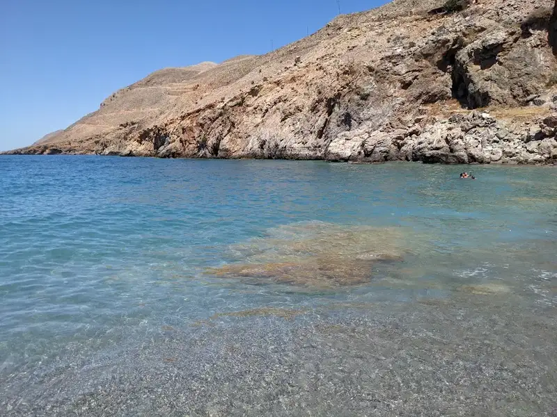
Loutro makes for an excellent base for exploring the neighbouring beaches, accessible by taxi boat, canoe, or on foot. A small ferry can whisk you away to the stunning Glyka Nera beach to the village’s east. Alternatively, you can opt for a canoe ride or a hike along the E4 trail to the secluded pebbly beaches of Timios Stavros and Pervolaki, with your journey continuing to Glyka Nera. If you prefer to stay within Loutro, the village’s own beach and the extended Keramos beach to the east offer a serene retreat, especially during strong southern winds. These well-maintained pebbly beaches boast calm, crystal-clear waters in shades of deep blue and green. Nearby beaches of Likos, Finikas, and Marmara are also within easy reach by boat or on foot.
Loutro is a haven for those seeking a unique experience away from the bustle of mass tourism. This picturesque fishing village in southwest Crete is devoid of large hotels and swimming pools, crowded streets, restaurants, and beaches, and even cars! The only means of access is by boat or a 1.5-2 hour trek from Chora Sfakion. Daily ferry services operate to and from Chora Sfakion, Sougia, Gavdos island, Paleochora, and Agia Roumeli.
Things to do in Loutro
While in Loutro, you can revel in nature’s beauty by exploring the scenic mountain landscape, valleys, and gorges. Start with a visit to the Koules fort situated above Loutro, then head to the small port of Finikas. The village brims with historic sites, including the Old School, which served as the Chancellor of Sfakia’s seat in 1821, and the ancient Church of Panagia nestled next to it. Marvel at the tall Cretan date palm trees and the ruins of the Castella fort, part of the ancient town Phoenix, and the temple of Apollo just south of the village.
For the more adventurous, a climb to the idyllic village and plateau of Anopolis awaits. This entails a two-hour ascent on a 2000-year-old mule track, culminating in a selection of inviting taverns at the top. You can also explore the Aradena gorge or snorkel in the local waters, home to frequent sea turtle visitors.
Loutro, which translates to “bath” in Greek, was named after the baths discovered in the area, their waters once directed towards nearby Anopolis.
The trio of neighbouring coves – Small Perivolaki, Large Perivolaki, and Timios Stavros – are nestled 2.5km west of Chora Sfakion and 74km south of Chania city. Situated in a rugged mountainous region, they lie midway between Glyka Nera beach and Loutro on the E4 European walking trail.
Small Perivolaki is the first beach to the west, followed by Large Perivolaki, with Timios Stavros being the furthest east. These beaches are characterized by pebbles and large rock formations. Their secluded nature makes them a favoured spot for naturists and snorkelling enthusiasts. However, there are no amenities nearby, with Loutro being the closest at 1km to the west. There is also a lack of natural shade, making it essential to bring your own umbrellas. Access to these coves is either by a 1km walk from Loutro to Glyka Nera or by boat.
A few meters west of Timios Stavros cove, you’ll find the small chapel of Timios Stavros, or Holy Cross. The chapel stands on the site of a former Venetian fortress, the ruins of which can still be seen scattered around the church.
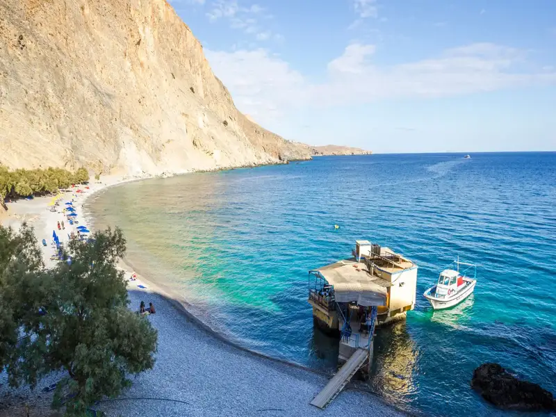


Glyka Nera, translated as “sweet water” ranks as one of Crete’s most picturesque beaches, adorned with captivating deep blue waters and charming pebbles. In 2003, it earned a place amongst the top 20 European beaches by the London Times. Positioned 43km west of Chora Sfakion and 75km south of Chania, its unique name stems from the freshwater springs that bubble up amongst its pebbles.
Typically, Glyka Nera is most readily accessible via boat. However, for thrill-seekers, two hiking paths offer an alternate route: a 30-minute journey from the closest parking spot near Iligas beach, and an hour-long trek from Loutro. Despite the trails bordering steep edges, safety is ensured by regular maintenance from local authorities, given the paths are part of the renowned E4 European footpath.
A quaint tavern perched on a rock offers food, refreshing drinks, and loungers. You need not carry water as the spring water is drinkable. Interestingly, even in the peak of summer, the sea remains refreshingly cool due to these springs. Tamarisk trees generously provide shade along the beach. If given the chance, a visit to Glyka Nera is a must.
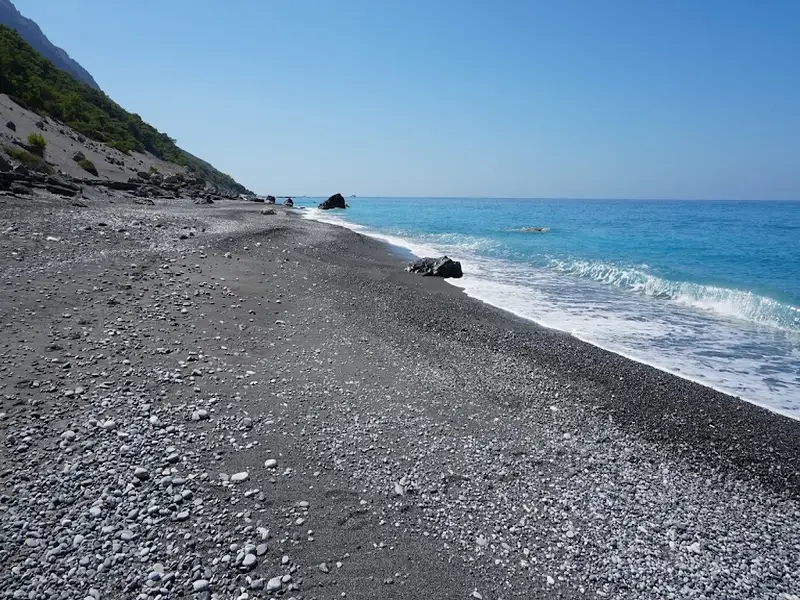
Agios Pavlos, or Saint Paul, is a stunning beach located at Opiso Egiali in Selouda bay, situated 3km east of Agia Roumeli and 6km west of Loutro, at the mouth of the wild Eligia Gorge. The beach is completely cut off from society, with the only access being by boat or an extensive hike along the E4 European Trail that runs parallel to the sea. The journey on foot from Agia Roumeli takes approximately 50 to 60 minutes.
The beach boasts clear grey and brown sand and is tucked away in a charming small pine forest. However, amenities are limited, with only a small tavern offering water and food nearby. Whilst there is ample shade provided by the pines, these trees are not situated on the beach, so it’s advisable to bring an umbrella.
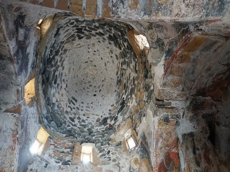
The beach’s name, Agios Pavlos, translates to “Saint Paul” in Greek, a name it shares with the ancient Byzantine church of Saint Paul located in Selouda. The church is believed to be the spot where Saint Paul baptized individuals on his journey to Rome. It’s a quaint, picturesque church, constructed on the beach using beach stones, which makes it difficult to spot from a distance. The church features a cruciform architecture with an equidimensional cross and a dome over the center, set amidst a breathtaking natural backdrop. Constructed in the tenth century by Saint John Xenos, its frescoes are thought to be from the thirteenth century.
Iligas, a stunning beach with turquoise waters and sandy shores, can be found 1km west of Chora Sfakion and 74km south of Chania city on Crete island. It sits at the mouth of the Kavi Gorge originates near Anopolis and features three separate beaches, each divided by impressive sea caves.
The primary beach, which is quite lengthy, can be reached by taking a short stroll from the main Sfakia-Anopolis road. The superior beaches are situated east of this and can only be accessed by boat or by swimming from the main beach.
You can find a small tavern offering rooms for rent on the main Iligas beach, but Chora Sfakion offers more facilities. Iligas is considered one of the most beautiful and easily reachable beaches in southern Crete. Each of the three beaches hosts several caves, providing shadows and coolness. The beach’s accessibility and proximity to Sfakia make it an ideal spot for a brisk 10-15 minute walk from Sfakia.
Sfakia, also known as Chora Sfakíon, is a quaint town located on the southern coast of Chania. This town, nestled near the end of the Sfakiano Gorge and 74km south of Chania city, serves as the capital of the isolated and mountainous region of Sfakia.
Vrissi, the primary beach of Chora Sfakion, can be found at the town’s western end. This appealing pebbly beach is well-maintained and conveniently close to the town’s facilities. You can stroll down the narrow lanes of the village to reach the beach. Overlooking the eastern end of the beach is the ancient Byzantine church of Saint George, locally known as Agios Georgios.
Adjacent to the quaint harbour of Sfakia, locally referred to as Limani or Ombrosgialos, is another beach. Although smaller and less attractive than Vrissi, it is well-arranged and situated in front of the local tavernas. This harbour is the departure point for the ferry service to Agia Roumeli, Loutro, Sougia, Gavdos island, and Paleochora. A memorial above the beach pays tribute to the final Australian, British, and New Zealand forces who were evacuated from this bay by British and Australian warships between 28th May and 1st June 1941, after the intense Battle of Crete.
The beach Amoudi is located about 1.5km east of Chora Sfakion and 75km south of Chania, in an area with several adjacent pebbly beaches and very close to the nudists’ hotel Vritomartis. It is one of the many unknown beaches around Chora Sfakion, and one of the nicest. The area, due to conglomerate rocks, is full of small pebbly beaches, such as Agios Charalambos, Filaki and Plakakia.
A rough dirt road, which in the last section becomes quite bad, leads to the beach. Despite its name (ammoudi means sandy beach), Amoudi beach is not sandy but pebbly with crystal clear waters, the cleanest of all the beaches of the area. The seabed is quite remarkable with beautiful formations. Left and right of the beach, the rocks rise forming caves in conglomerate grounds, decorated with caper plants. Caves offer shade on hot summer days.
On the west side above the beach, there is a shrine which overlooks the sea from where the view at Amoudi bay is unique. The most impressive of all, however, is the geological formation called Fokia (Seal). It is a cave on the west edge of the beach, which at its deepest point creates a small beach and has a second outlet to the sea. Because of the two outputs and the easy possibility of escape this cave was used as a nest for sea seals that are still in the area.
On the east side of the beach, there is a path through the rocks leading after five minutes to the cavernous church of Saint Charalambos honoured highly by Sfakians. Next to the chapel, there is the slightly organized beach of Agios Charalambos, not organised. Saint Charalambos was the saint who protected people from the plague, so they used to build chapels dedicated to the Saint at the entrances of villages. But in Sfakia, where the dominant communication with the outside world was based on the sea, they built the temple on the shores. The coves and the nearby beach of Filaki are mainly occupied by nudists, actually being the only “official” nudism-friendly beaches on Crete (due to the nudists’ hotel).
No results available
© All rights reserved. Crete Locals