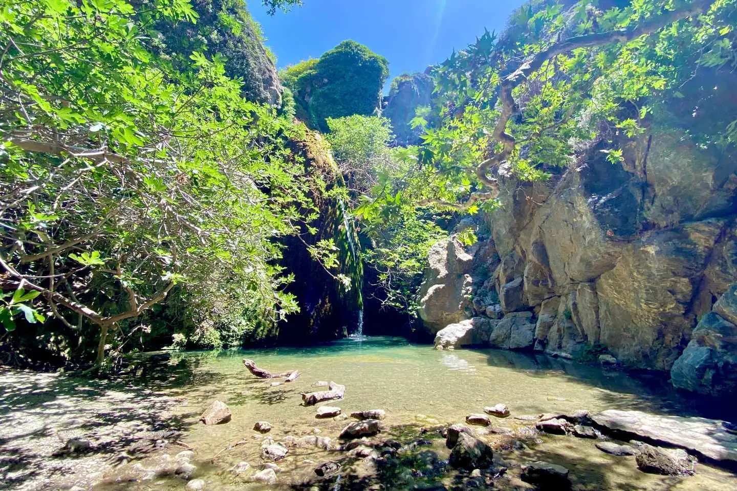
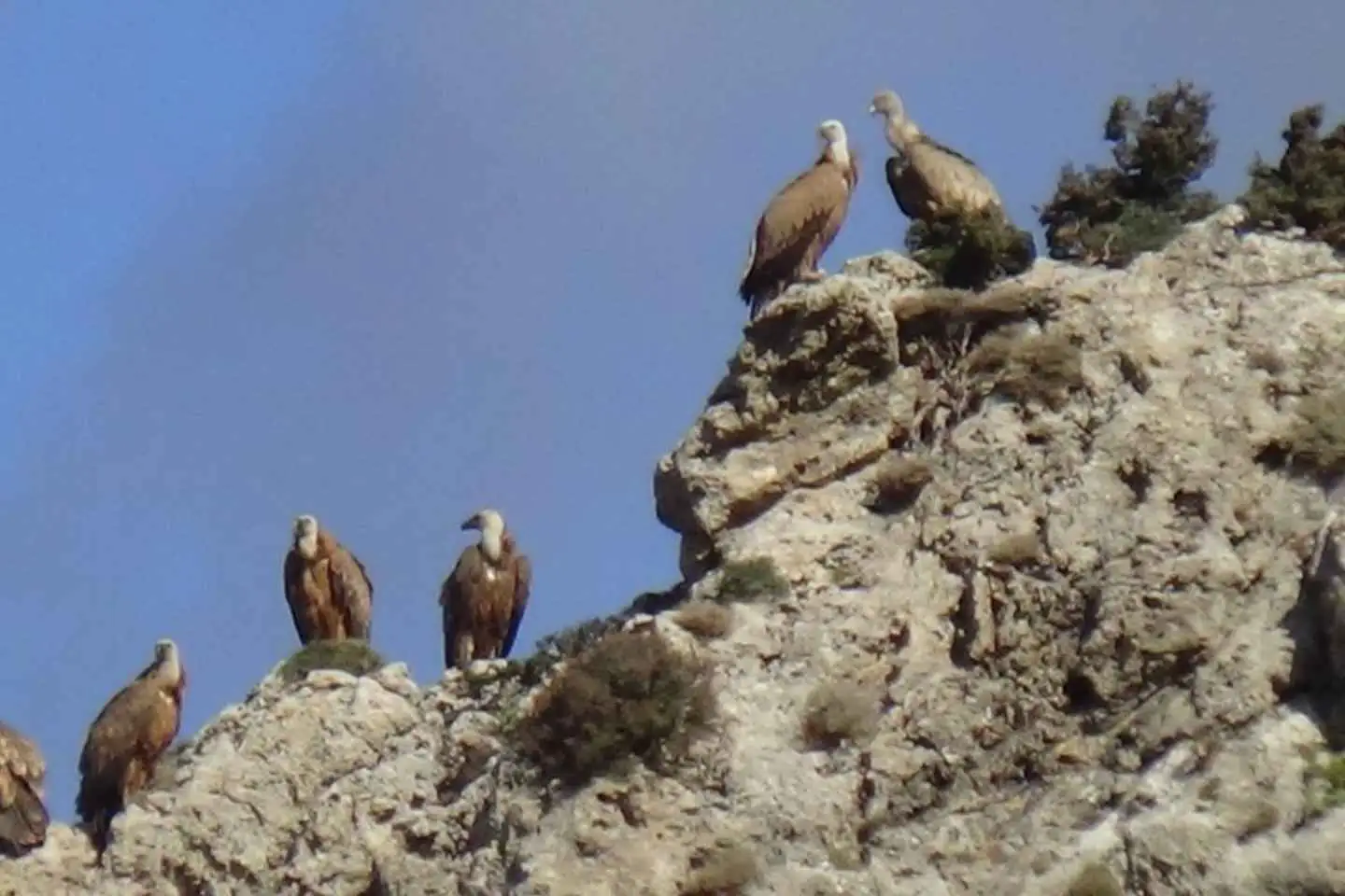
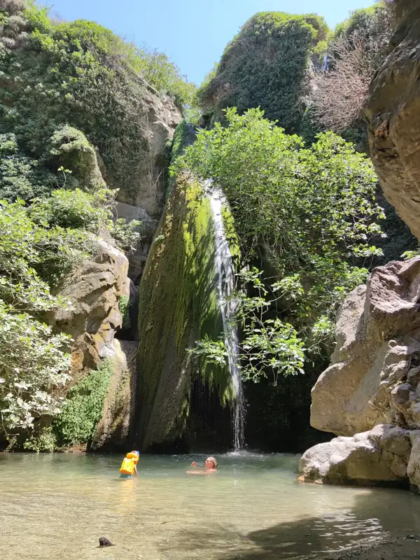
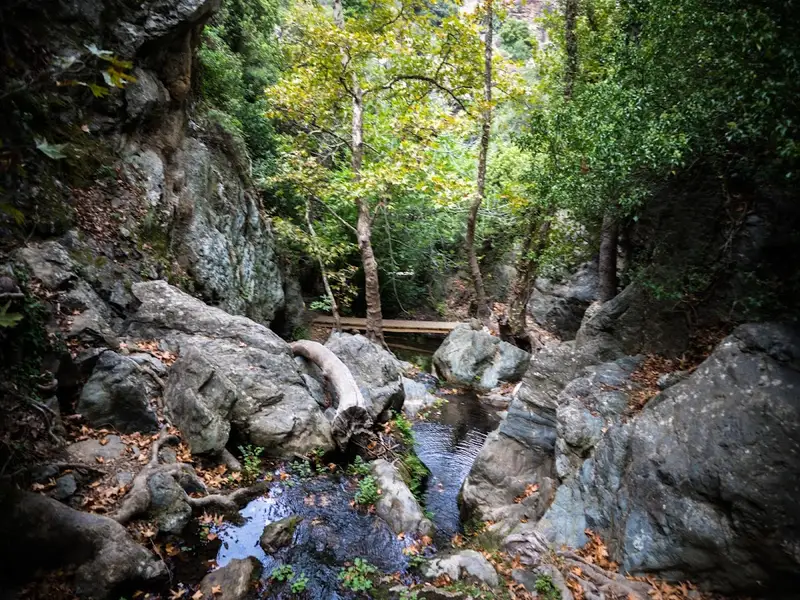
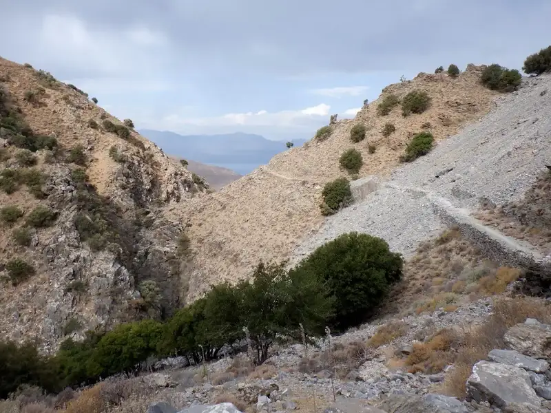
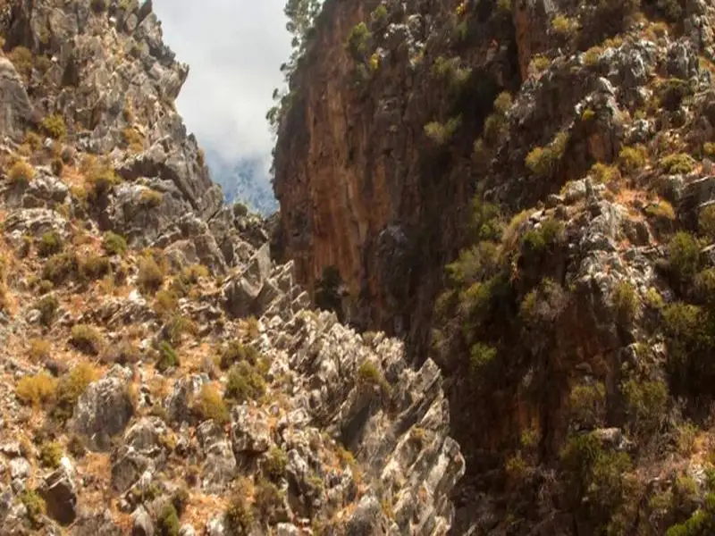
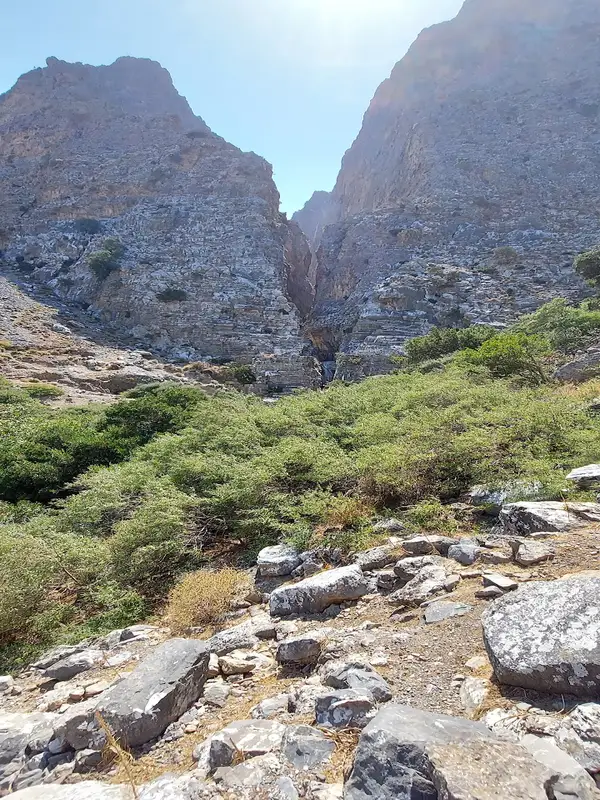
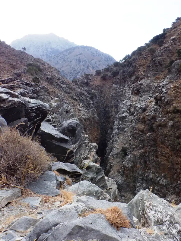
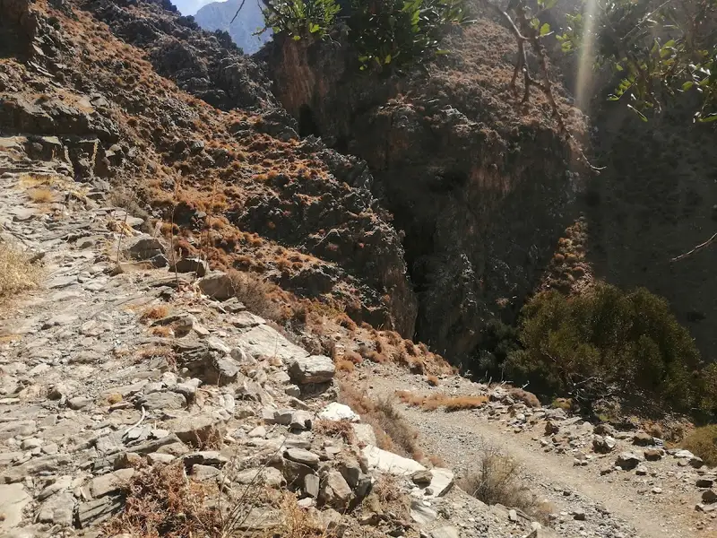
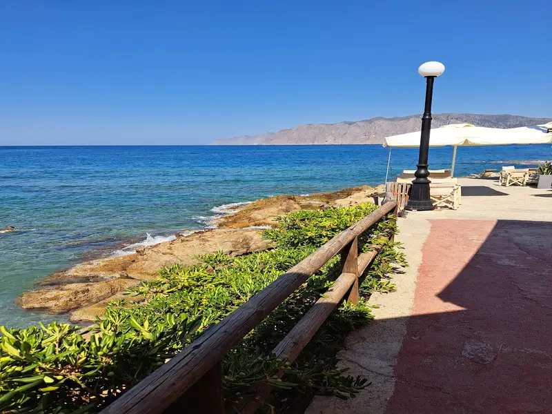
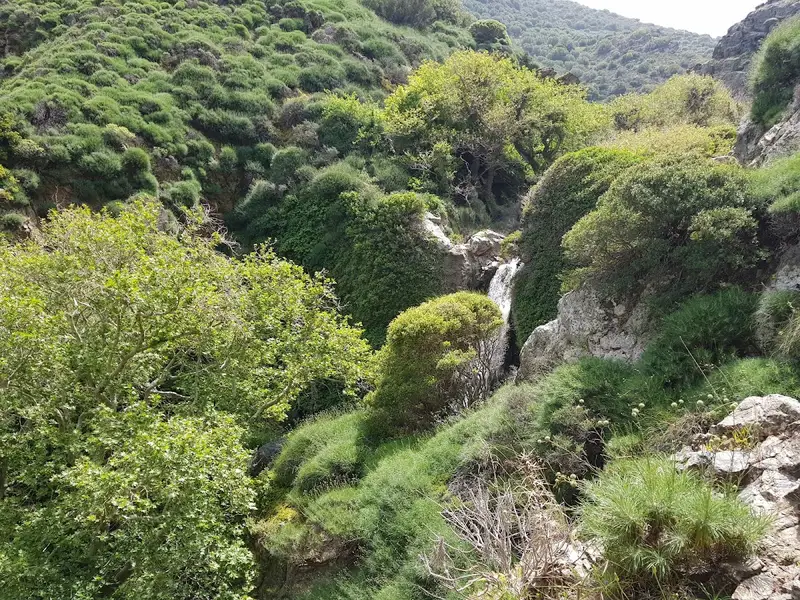
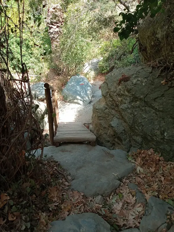
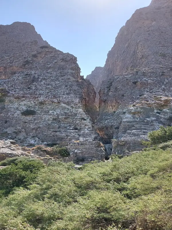
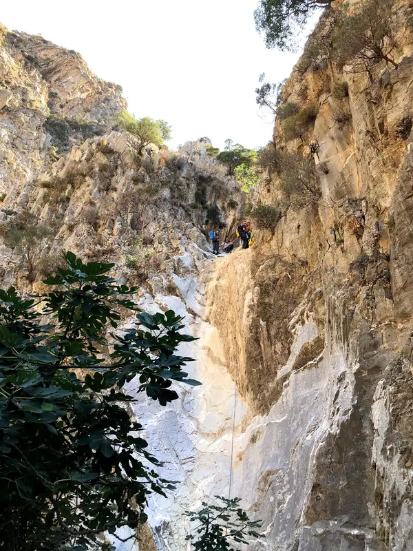
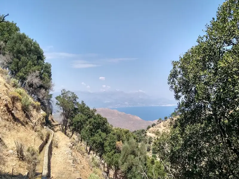
Explore one of Crete’s most beautiful landscapes while hiking by the small river that will lead you to the 20m waterfall of Richtis. During the hike you will see some small ponds and waterfalls, as well as many different endemic plants, flowers, trees and animals. Richtis Gorge is part of the Sitia Geopark. On the path you will pass over small wooden bridges, old water mills and amazing view points. The hike is about 7km long. Richtis gorge is a green oasis where you definately want to be during the Cretan summertime.
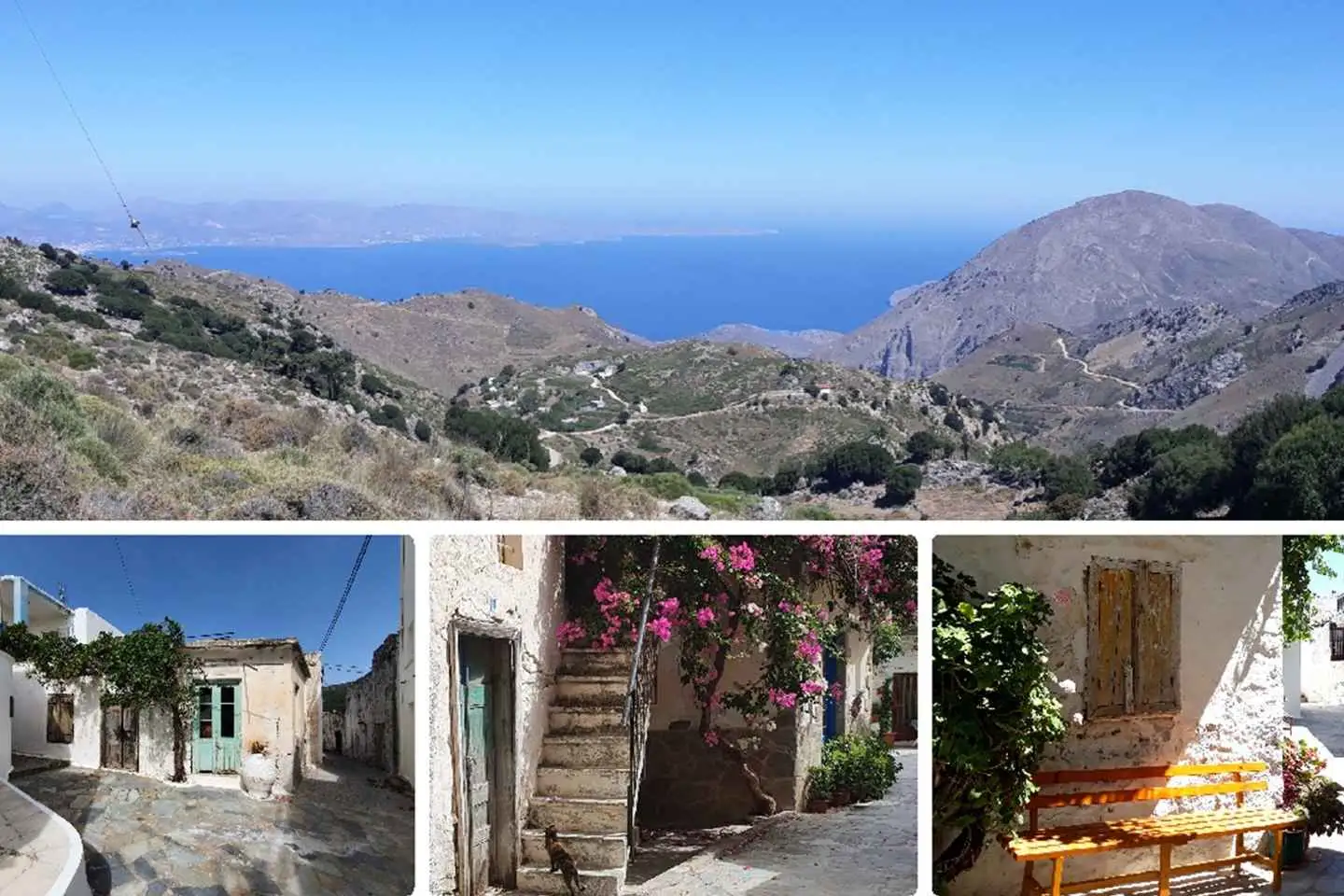
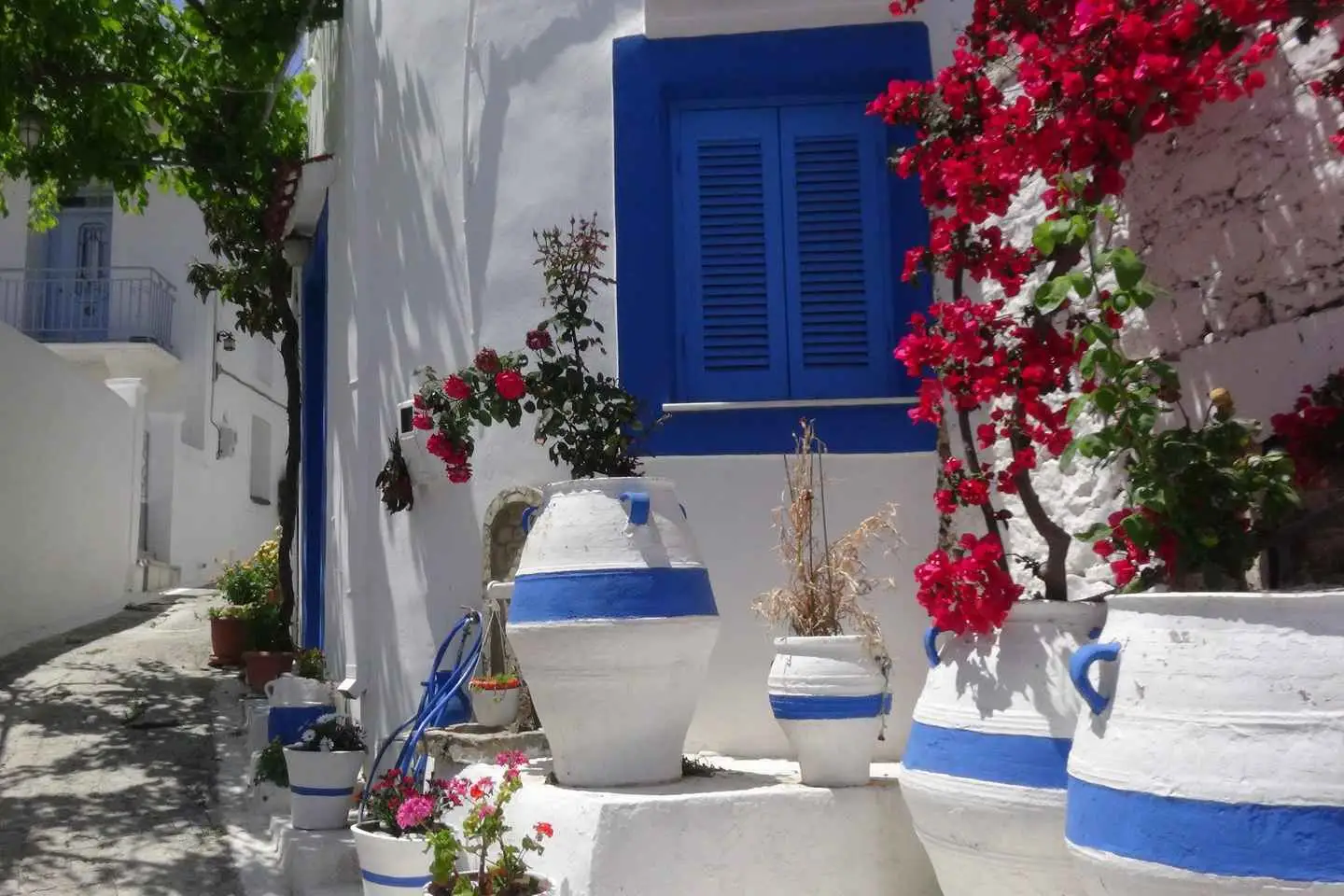
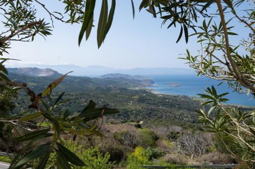
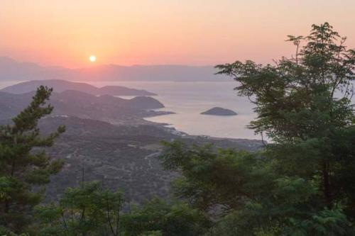
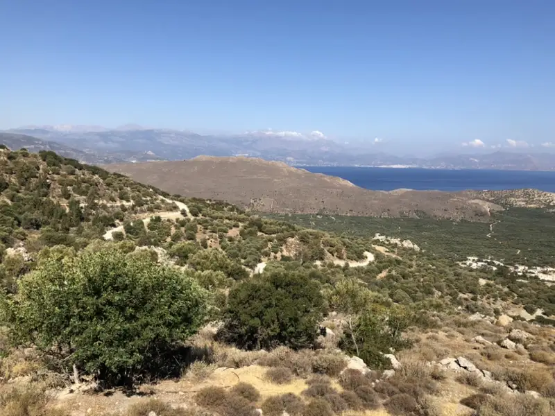
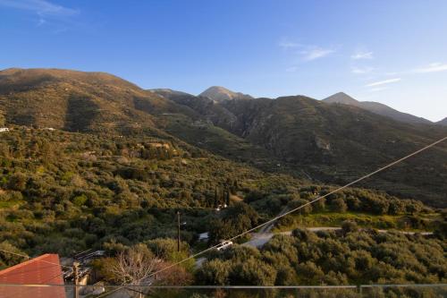
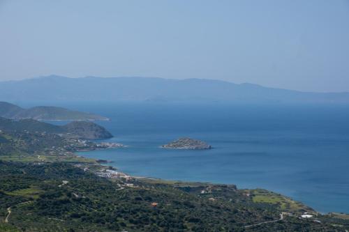
Enjoy the unforgettable panoramic view over the entire north-east coast of Crete. In the mountains, it smells of the most aromatic herbs that will be shown and explained to you. Our adventure will take you to the rustic mountain village “Stavrohori”. There will be time to stroll around, visit the old church and sit down to savour a refreshment. Your tour guide, who has lived in Crete for the past 33 years, will share with you some Greek secrets with pleasure as well as some little anecdotes.
Nature lovers will experience the ultimate adventure wrapped into a half day excursion!
Explore the “wild heart” of East Crete, undiscovered by tourism, where “time” seems to
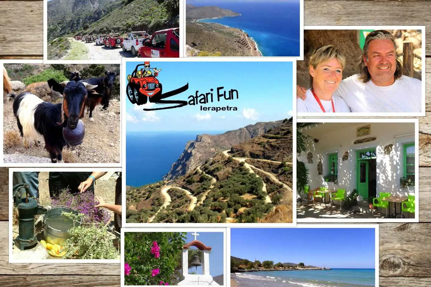
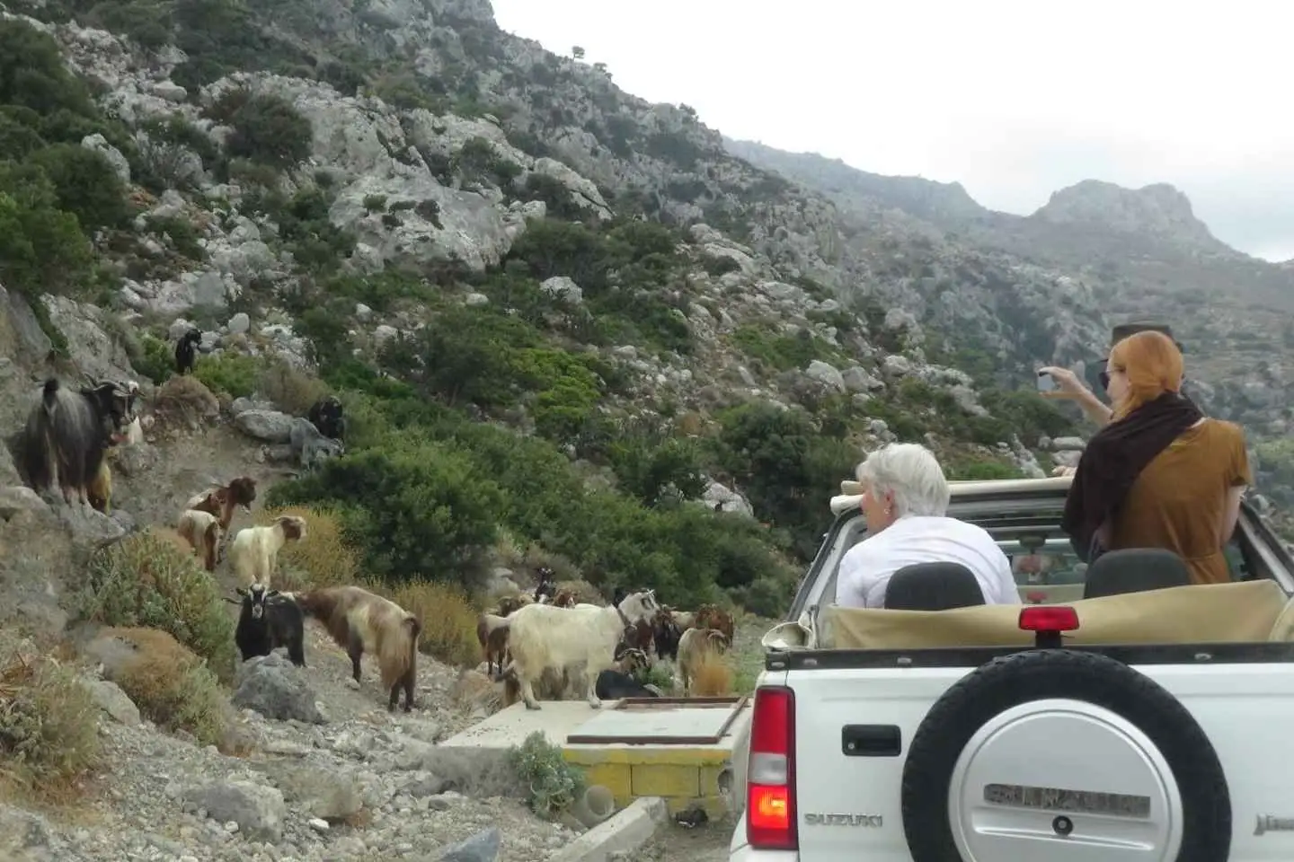
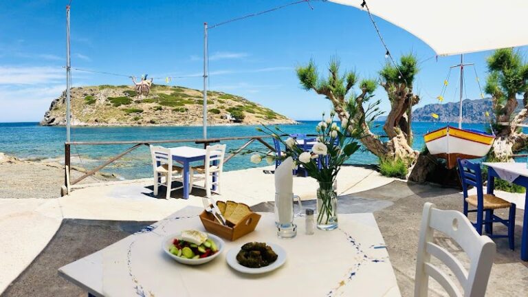
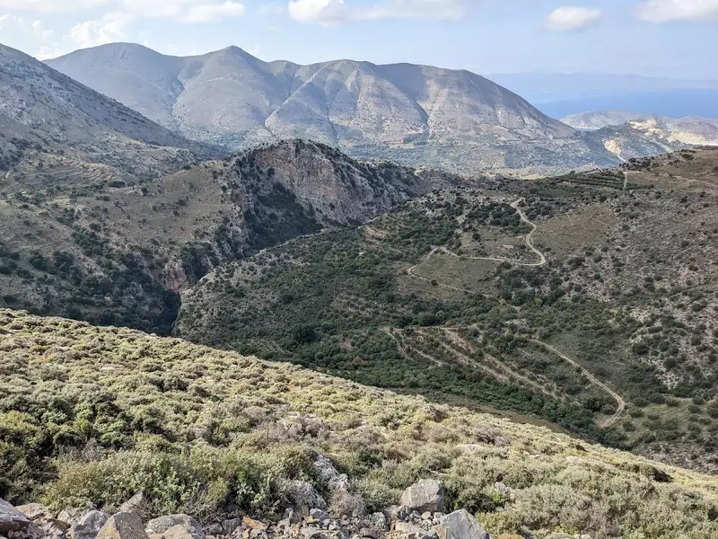
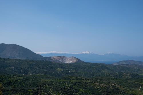
stand still. A combination of tar and off roads, will guide you from Ierapetra to the mountains of Thripti . A highlight of the tour is the stop at the summit Afentis (850 m) with an unforgettable panoramic view on both seas (Libyan/Aegean). We continue to Kavousi, where you can admire the oldest olive tree in the world (3250 years). In Mochlos, you can enjoy the “greek cuisine” in a typical tavern. Our trip continues through the vine yards and olive fields, among small chapels, towards authentic villages with their simple lifestyle (Sfaka, Lastros-known as the “cat village”). To end this adventures day, refresh yourselves in the crystal clear water at the bay of Tholos.
An unforgettable day for nature lovers and adventurers
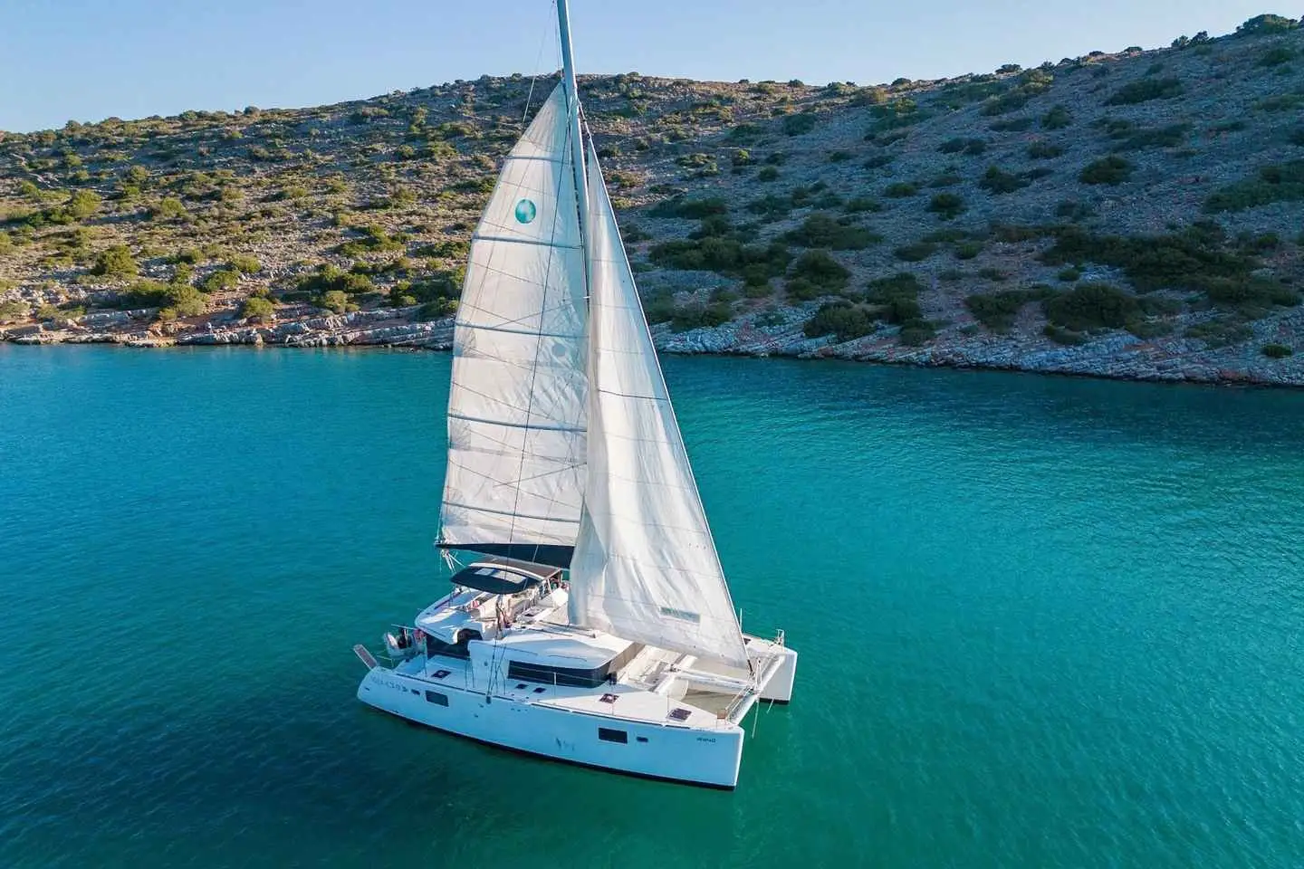
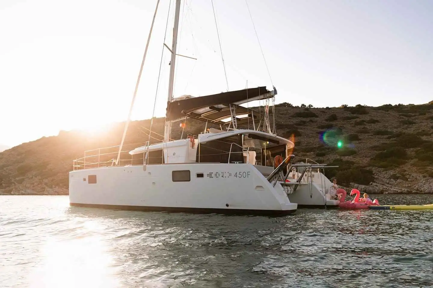
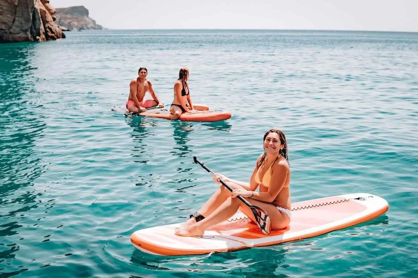
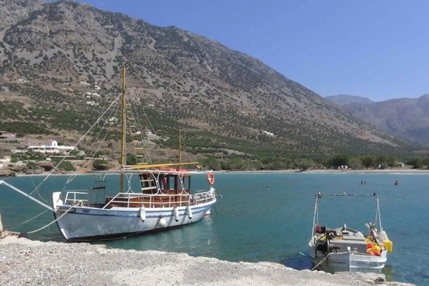
Sailing trip is designed for half a day – just enough time to enjoy sea and swimming activities.Afternoon sailing trip is suitable for those who prefer waking up late and avoid the hottest hours. The boat trip starts at the port of Agios Nikolaos. Guests will have the opportunity to see famous island Spinalonga from the water. Our catamaran Lagoon 450F* will comfortably accommodate up to 20 guests. For adults, we have snorkel equipment, SUPs, tackle and fishing bait. For children – a box with toys, colouring books, board games. And inflatable flamingos and unicorns for the entire family. Food on a cruise is our pride. For our guests, we have compiled a Mediterranean-style menu with seafood** and unlimited drinks.
* Catamaran model may change,
** The menu consists of local, high quality products. Dishes are subject to change.
No results available
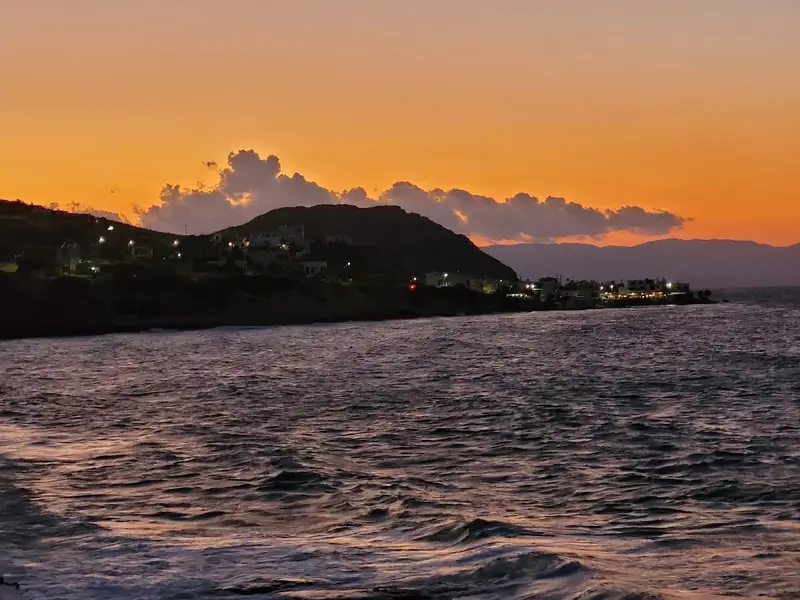
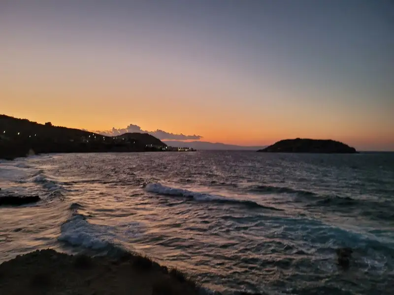
Situated 48km east of Agios Nikolaos and 35km west of Sitia is the quaint village of Mochlos. A short 300m journey eastward, near the Agios Andreas settlement, reveals several secluded bays filled with rounded pebbles. Known by the locals as Kolimbakia or Loutres coves, these spots are perfect for snorkelling and fishing, thanks to the rocky seafloor that houses a multitude of fish. Beyond the coves, you’ll find the well-equipped Stomio beach, fronting a local hotel. It provides amenities such as umbrellas, showers, beach-volley courts, canoes, as well as sailing, windsurfing and diving facilities. Further east of Mochlos, the Mavro Selli beach awaits, characterized by a small stream and large pebbles.
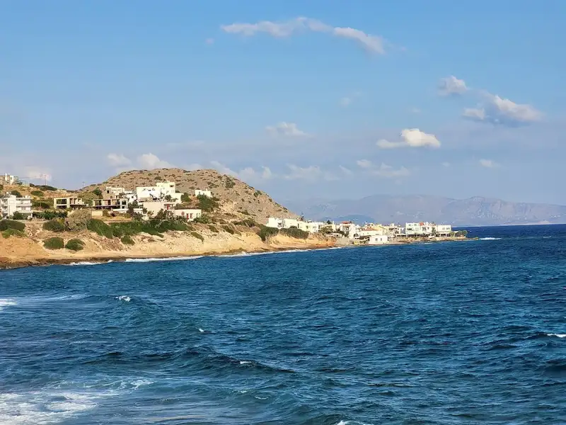
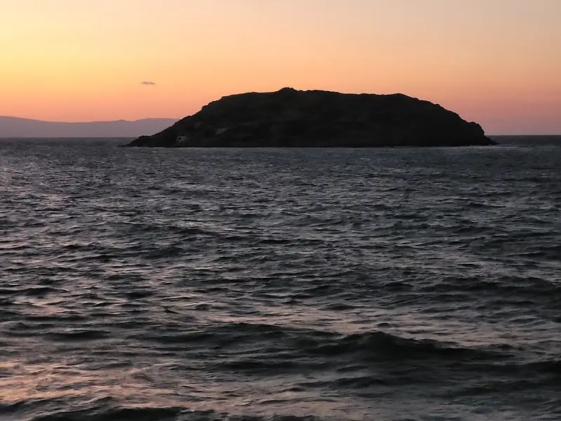
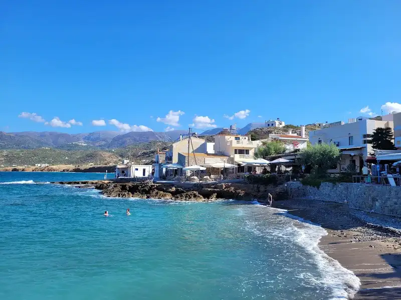
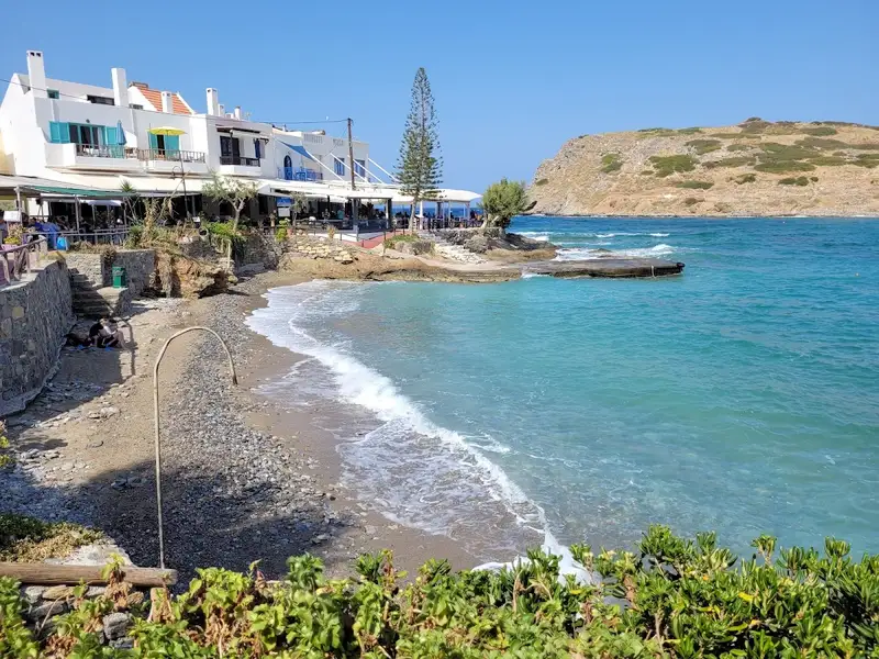
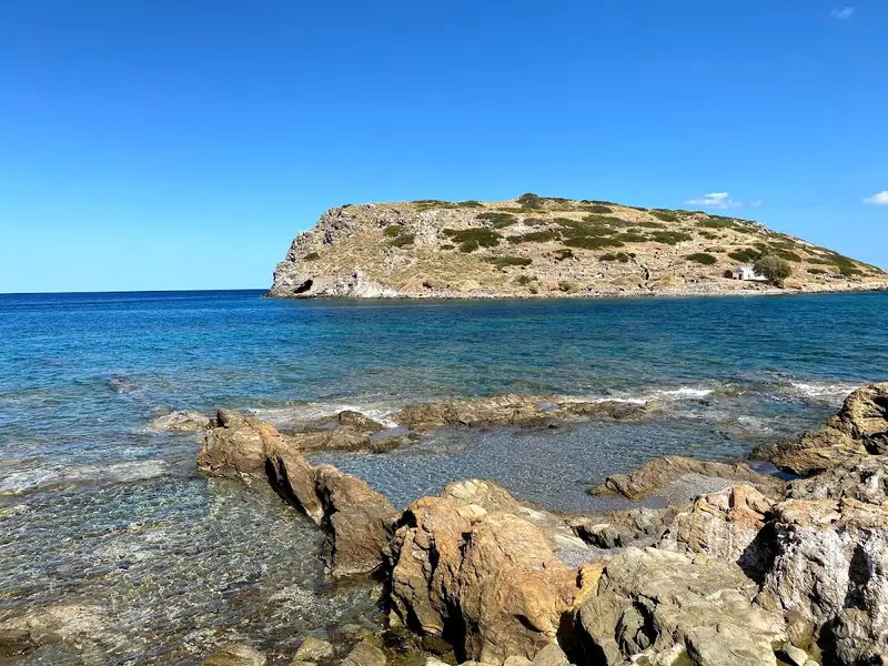
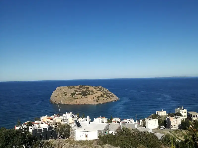
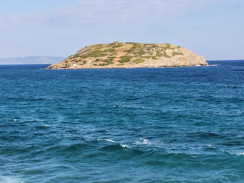
Mochlos is a quaint village situated 48km to the east of Agios Nikolaos and 35km to the west of Sitia. It lies 150m across from the islet of St. Nicholas, home to a chapel of the same name and an important archaeological site. The village of Mochlos maintains its traditional Cretan charm, making it an ideal destination for a peaceful getaway. The friendly locals, primarily from the village of Sfaka, will make you feel at home from day one. You may even get the chance to participate in local events such as fishing competitions.
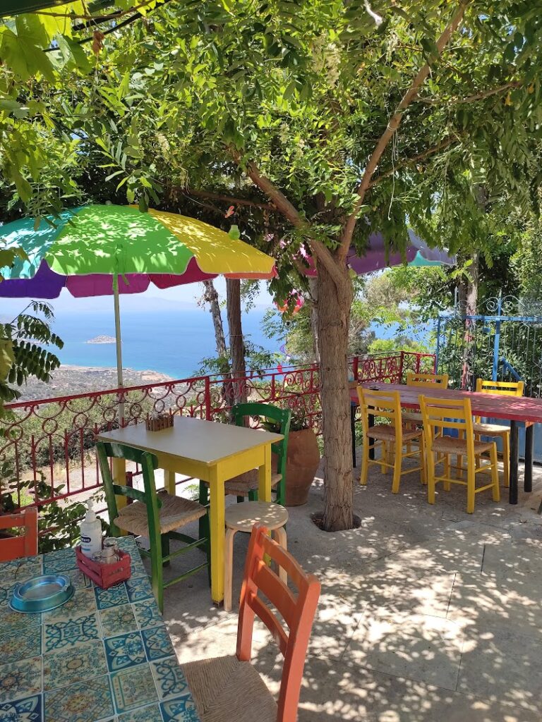
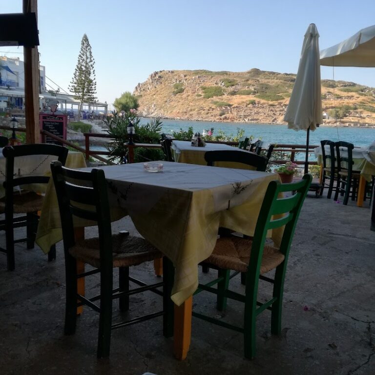
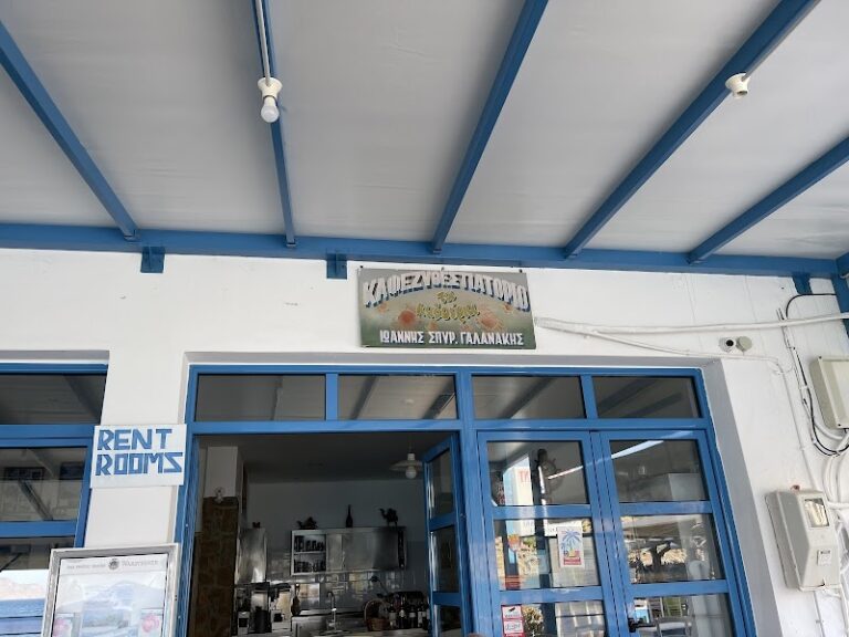
The village’s coastal road is dotted with a handful of taverns and cafes where you can savour fresh seafood and refreshing drinks. These establishments have even gained popularity among notable Greeks. An old tax office previously stood next to these taverns but was unfortunately torn down several years ago. The small sandy beach of Mochlos, with its rocky seabed, lies in front of the village. It offers basic facilities but is not officially organized. A second, smaller and rockier bay can be found to the east of the village.
For those seeking solitude, the sandy beach of Limenaria lies 400m west of Mochlos. This beach and the local harbour are well shielded from the waves. In 1986, archaeologists discovered a post-Minoan cemetery with several intact carved tombs in Limenaria. Over 60 decorated vases and a Minoan seal featuring a deer were found at this site.
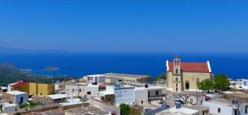
When visiting Mochlos, it’s worth exploring the neighbouring villages of Sfaka, Lastros, Tourloti, and Myrsini. These villages have preserved their traditional character and house some very old chapels. Furthermore, south of Mochlos, atop a hill, you can visit the scenic chapel of Holy Spirit (Agio Pnevma in Greek), which offers panoramic views of the Mirabello Gulf. Lastly, near the village of Myrsini, you will find the Venetian Tower of Kornaros and the chapel of St. Anthony.
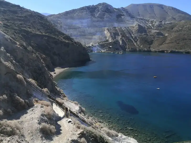


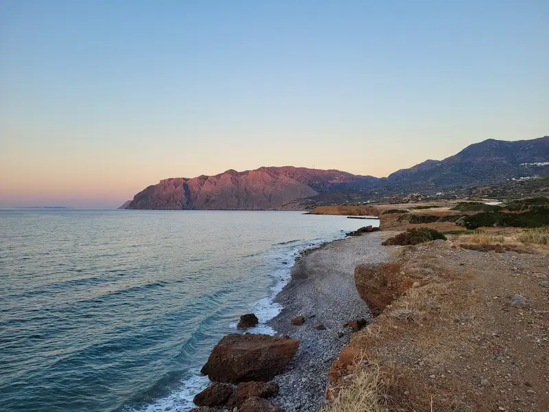
Situated between Mochlos to the east and Malavra springs near Tholos to the west, you’ll find the gypsum quarries of Altsi, named after the Turkish term for plaster. This region is home to two hidden beaches, largely unvisited due to their proximity to the quarries. Access to these secluded Altsi beaches can be achieved through the road that guides you to the mills responsible for grinding the stones; this path is marked as a dead end just before reaching Mochlos. Despite the significant alteration of the scenery by the quarries, these beaches maintain their pristine condition and inherent beauty.
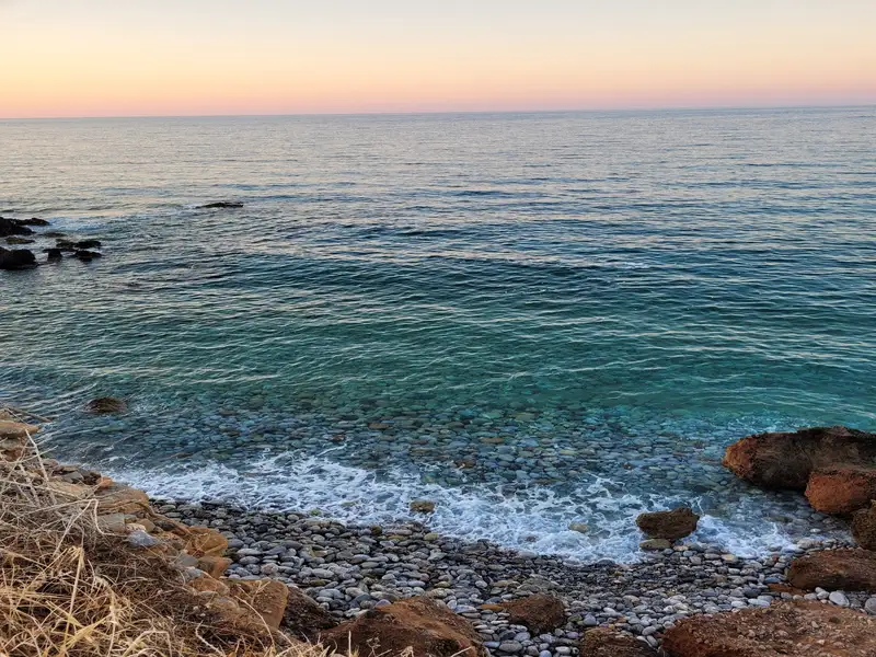
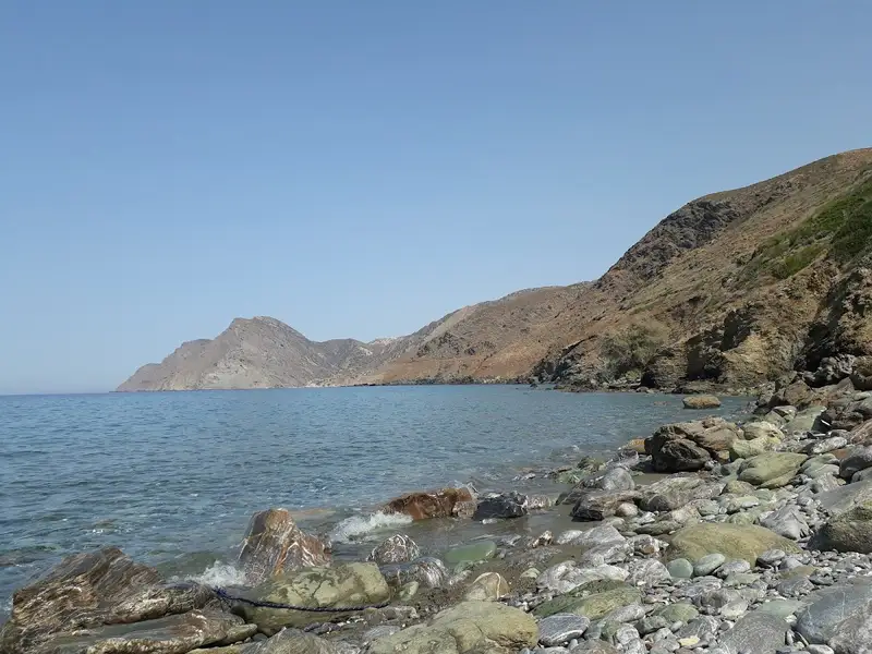
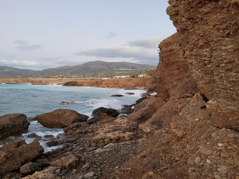
Gela (also known as Tigania) is nestled on the stony and shingle coast of northern Crete, largely shielded from westerly winds. It is situated approximately 58km east of Agios Nikolaos and 26km west of Sitia, nearby the village of Kalavros. To reach Gela from Agios Nikolaos, take the road to Sitia and follow the exit to Kalavros village. From there, follow the 5km dirt track that leads to the sea until you arrive at Gela’s shoreline. The location is incredibly secluded and features several tiny bays with pebble beaches and green-tinted waters, perfect for swimming on calm days. The bays are nestled near the steep, rocky coasts, and the sea here is deep.
The area is perfect for activities like fishing and snorkelling, as well as for those seeking solitude. You’re unlikely to encounter many others in this remote spot.
No results available
Praesus (now known as Pressos) stood atop three hills, approximately 13km south of Sitia and a mere 2km from today’s Nea Pressos, formerly Vaveli. Established by the Eteocretans, who fled the Minoan cities after the Dorian invasion around 1100 BC, they settled in Crete’s secluded regions. Two ports served Praesus, one near Sitia (Etea) and another on the southern coast (Stales).
Initially, the Eteocretans maintained their Minoan traditions, language, and religious practices. Archaeological finds here include inscriptions in the Minoan language using Greek characters, offering significant insights into deciphering the Minoan language. Over time, the city adopted a democratic constitution, akin to the Dorian city-states.
All its hills functioned as strongholds, with the tallest encircled by a defensive wall and remnants of a grand mansion. One hill reveals traces of an altar and various artefacts from sacrificial rites. Remarkably, an athlete’s tomb was discovered here, along with possible Panathenaic Game awards.
As a dominant Cretan city, Praesus minted its own coins bearing various icons like Hercules and Zeus. The city vied with Itanos and Ierapytna for control over Palekastro’s Zeus temple and Koufonissi island. However, by 155 BC, Ierapytna overpowered and razed Praesus, leading its inhabitants to retreat to the Etea port and establish New Praesus.
Italian archaeologists Halbherr and Mariani initiated the site’s excavations in the 1880s. Presently, visitors can explore a sprawling archaeological area dotted with ancient churches, temples, fortifications, and more.
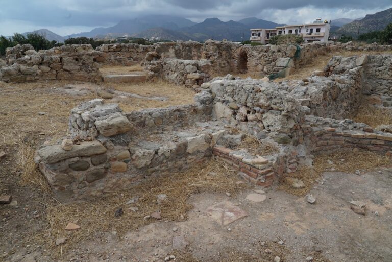
The sheltered harbor and verdant valley of Makrigialos made it a prime spot for settlements over the years. A testament to this is the Roman villa discovered at Katovigli in 1977 by archaeologist N. Papadakis, located above today’s Makrigialos port. Before this, the site had revealed plundered graves and a 4th-century AD headstone.
This grand mansion, active from the 1st century BC to the 3rd century AD, spanned at least 1500 sq.m. Its layout featured a central courtyard surrounded by rooms, storage spaces, and a bath system with reservoirs. The entrance showcased a mosaic floor adorned with floral and geometric designs, while rooms boasted marble flooring. The estate also housed a burial chamber, an oven with a vaulted entrance, and ash remnants, indicative of the site’s multifaceted history.
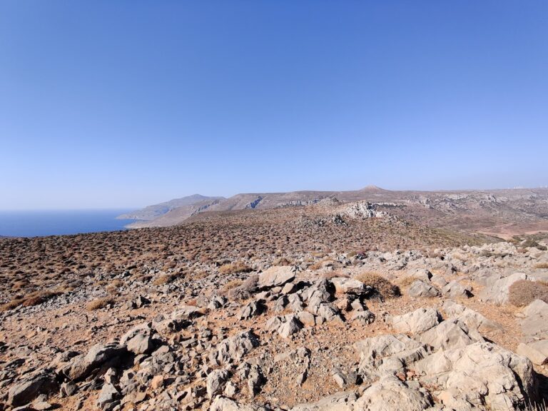
The hill Katrinia in the area of Piskokefalo, province Sitia, was home to one of the most significant peak sanctuaries of Minoan Crete. Pilgrims from nearby regions would visit to worship their gods and offer their tributes. In this area, three sacred caves have been discovered, similar to other peak sanctuaries in Crete (e.g. Giouchtas, Pirgos near Tylissos, etc.).
In 1952, archaeologist Nikolaos Platon uncovered some of the most important Minoan pottery findings up to that point. Regrettably, looters had previously discovered numerous figurines. Among Platon’s many discoveries were male and female figurines with intricate hairstyles, providing valuable insights into the appearance of the Minoans.
Additionally, numerous vases, beads, and an unusually large number of clay scarabs were found. Furthermore, archaeologists discovered replicas of temples featuring the Minoan double horn in their cornice.
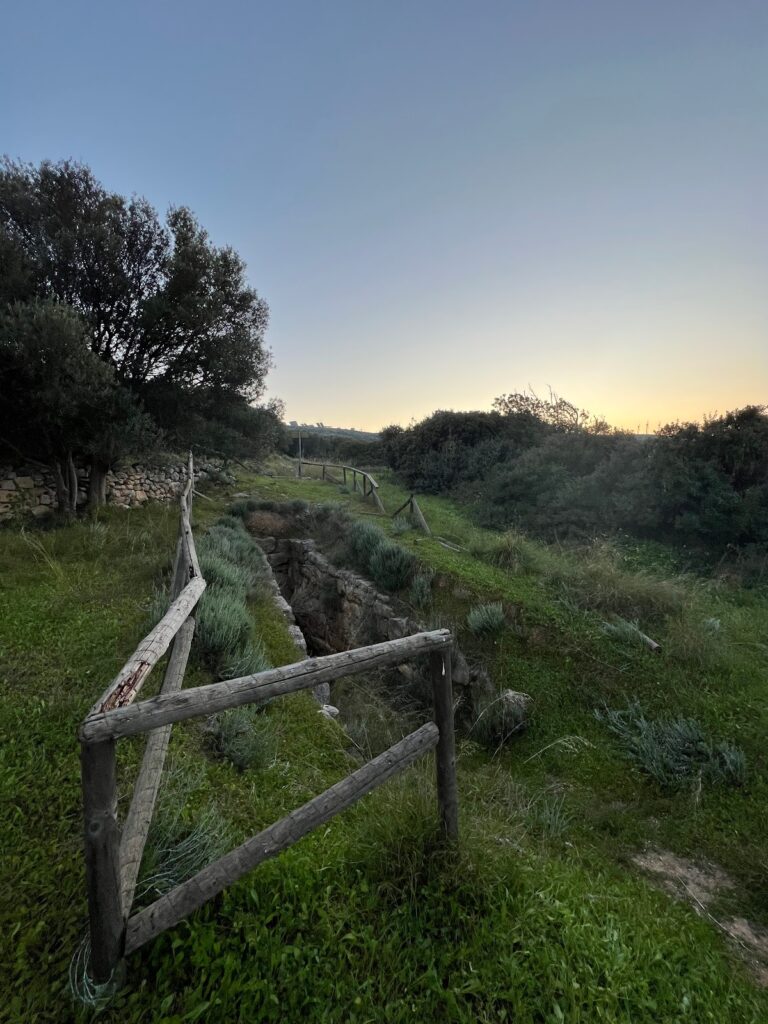
Located at Platyskinos, close to Achladia in the Sitia province, a sizable underground vaulted tomb has been discovered. With a diameter of 4.08m, height of 4.16m, and a corridor stretching 9m, this tomb is particularly uncommon in Eastern Crete. Dating back to 1400-1220 BC, it is believed to have been influenced by the tombs of Mycenae.
No results available
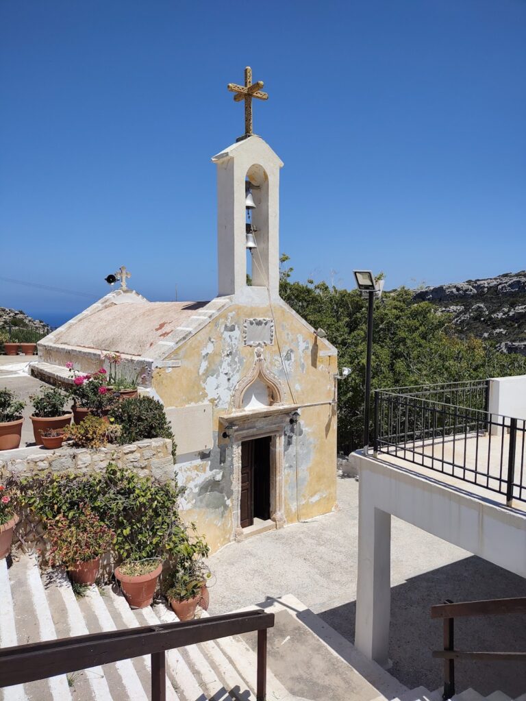
The Panagia Faneromeni Monastery (Revealed Virgin Mary) can be found in the Trachilas area of Sitia, situated on the brink of a steep region between Cape Trachilas and Babakia. It is approximately 1.5km from the sea and 8km west of Sitia town. The monastery is nestled in a verdant area beside the small Agii Pantes (All Saints) gorge, which is perfect for a leisurely stroll. Numerous caves within the gorge once served as the homes of the monastery’s hermits.
At the heart of the monastery lies a two-aisled church dedicated to the Assumption (celebrated on 15 August) and St. George (3 November). The church is adorned with ancient frescoes dating back to 1455, though they have been blackened by a fire, likely caused by the Turks. Surrounding the courtyard are several small structures that form a tiny settlement where pilgrims stay during the monastery’s celebrations in August. In addition to these modern buildings, there are six ancient monk cells that retain their medieval architectural style. Visitors can also see the “Big Cell” with its medieval arch, which functioned as an olive oil mill (fabrica), and the “Oven-house,” where monks prepared their bread.
The name Faneromeni (=Revealed) originates from the icon of the Virgin Mary that once appeared in the small “Hermit’s Cave” located next to the temple’s sanctuary. According to legend, a shepherd discovered the icon in the cave and placed it in his bag along with his lunch. When he arrived home, he asked his wife to open the bag and look inside, but she only found food. The following day, the shepherd returned to the cave and saw the icon had reappeared in the same spot (=> Faneromeni). Despite taking it with him again, the same sequence of events occurred twice more. He then realized that it was the Virgin Mary’s will to remain there and enlisted two monks to construct a monastery at the site. To this day, the small icon is preserved in the cave’s crevice.
Presently, the monastery is almost deserted, with crowds of pilgrims only arriving on the 15th of August from the surrounding area. A traditional ceremony takes place at this time, during which the icon of the Virgin Mary, known as the “Revealed Lady,” is carried on foot from the St. George church in Skopi, accompanied by the pilgrims.
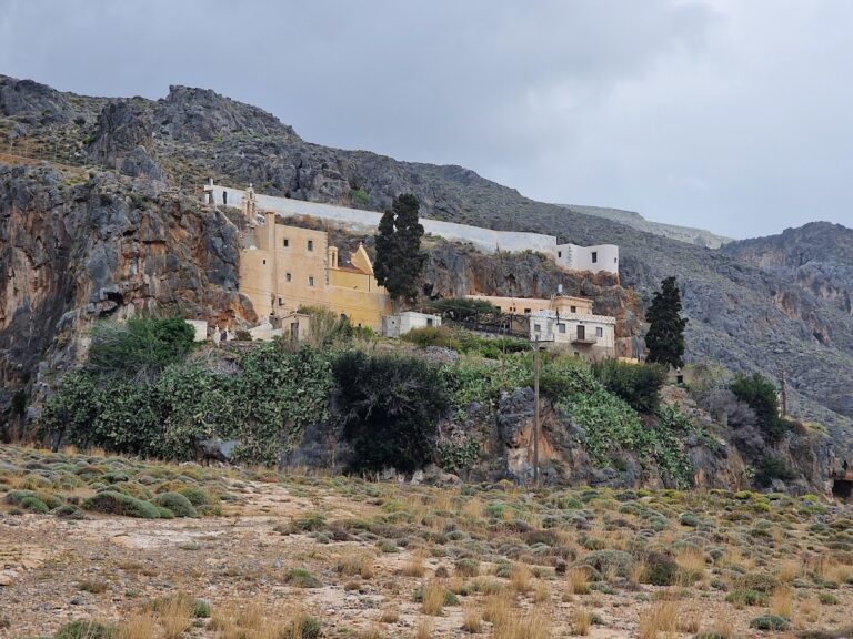
The Kapsas Monastery of St. John is situated 9km east of Makrigialos, adjacent to Goudouras, and is owned by the Toplou Monastery near Sitia. It is dedicated to the Beheading of St. John the Baptist, which is commemorated on August 29.
This monastery is constructed like a fortress on a steep, rocky slope above the sea, along the edges of the stunning Pervolakia gorge. A picturesque pebble beach can be found in front of the monastery.
It is said that the monk Joseph Gerontoyannis, who lived in a nearby cave, made the monastery famous due to his miraculous abilities. He was able to experience divine visions, walk on the sea to the neighboring island of Koufonissi, and cure any sickness. Today, he is honored on August 7.
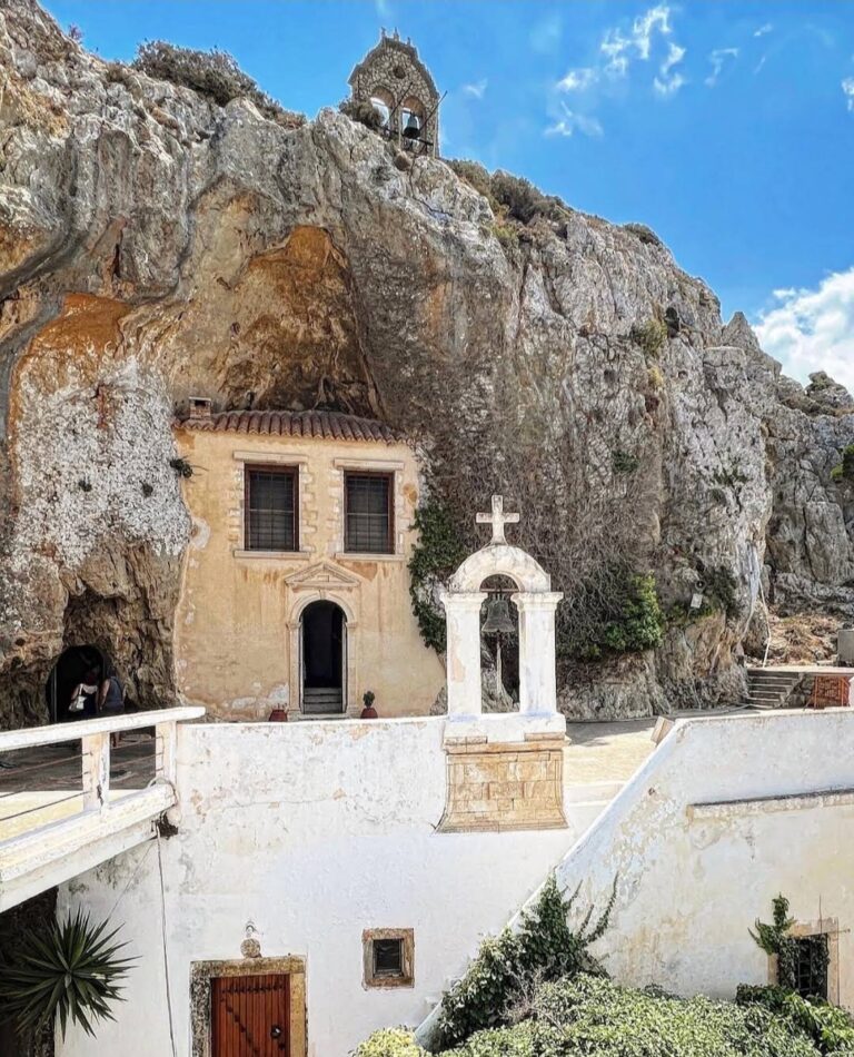
The Panagia Faneromeni Monastery, also known as Virgin Mary of Gournia, is situated northwest of Pachia Ammos and 24km south of Agios Nikolaos. This male monastery is perched on a steep slope at an altitude of 540 meters, offering breathtaking views of the sea. The two-aisled monastery church, dedicated to the Virgin Mary and Zoodohos Pigi (Source of Life), is built within a cave.
As one of the most renowned monasteries in eastern Crete, the Panagia Faneromeni Monastery attracts pilgrims from all over the island, especially on August 15th, its celebration day. Some even arrive on foot to fulfill a vow.
Constructed on a steep incline, the monastery resembles a fortress overlooking the sea. Its strategic position reflects the defensive nature of the Faneromeni Monastery against the frequent pirate attacks along the Cretan coast. The architecture is reminiscent of monasteries that were restored in the late 16th and 17th centuries.
Legend has it that a shepherd once lost his best ram every afternoon. One day, he decided to follow the ram and witnessed it drinking water flowing from the cave. As the shepherd approached, the icon of the Virgin Mary was “revealed” to him. When he took the icon home, it vanished, only to be found again in the cave where the monastery was eventually built. It is said that the same icon reappears and mysteriously disappears again, particularly on the Assumption and other Marian feasts.
No results available
No results available
No results available
No results available
No results available
The Koudoumis canyon, situated approximately 27km west of Sitia, is close to the village of Tourloti. You can reach the canyon by foot, but be aware that there are six minor but steep rappels that need careful navigation.
Also known as the Tourloti Gorge, the canyon’s exit is near Tourloti while its entrance is at the small plateau of Monokara, which is a few kilometres further south. The stream that flows through it carries water to the Mavro Seli beach near Mochlos. The canyon’s striking rock formations coupled with the vibrant nature during spring make trekking through the Koudoumis gorge a fascinating experience.
The Richtis Gorge, situated in the Lasithi Prefecture on Crete’s northern side, lies between the cities of Agios Nikolaos and Sitia. The trail begins just outside Exo Mouliana village and concludes at Richtis beach, to the east of Kalavros village. The entire route spans roughly 3 kilometres, with an elevation difference of around 350 meters between the starting point and the beach. Even in the summer months, the gorge retains a plentiful water supply, utilized for local agriculture. The water in the gorge is collected from the Drymias peak (918m) of the Orno range via the Lachanas and Mesa Mouliana streams, which converge near the trail’s starting point.
Depending on the hiker’s speed, the journey to the beach takes approximately three to four hours. The trail commences from the 19th-century stone-arched Lachanas bridge, a historic site where Christians reportedly killed local Turks attempting to reach Sitia and board a ship to Turkey during the population exchange between Greece and Turkey.
The path continues through a verdant landscape along the river, set against the stunning backdrop of Eastern Crete. The air is filled with the aroma of platans, oleander, and sage, and the scent of fresh herbs constantly shifts. Another notable feature is the old water mills that hikers encounter along the path, a testament to the past.
The crowning glory of the gorge is the breathtaking Richtis waterfall, which stands over 20 meters tall and forms a small pond at its base (the term “richtis” translates to “waterfall” in the Cretan dialect). The waterfall maintains its water flow even in the summer, providing a wonderful spot for a revitalizing dip. The trail concludes at the gorgeous pebbly Richtis beach, which features a small park with tamarisk trees, stone seats and tables, and a water fountain offering drinkable water.
Warning: To protect the delicate stream flora and fauna, please refrain from using sunscreen protection when swimming in rivers.
Tip: Many visitors choose to park their car on the main road at Exo Mouliana and walk down the paved road to the Lahanas bridge. By driving and parking next to the Lahanas bridge, you can save around 30 minutes of walking time. From there, it takes about 1.5-2 hours to reach the waterfall. For those less mobile or with young children, the quickest way to reach the waterfall is to drive along the narrow paved road to Richtis beach and walk for around 30 minutes in the opposite direction of the river.
In the eastern region of Crete, the term Havgas is frequently encountered, often used to name canyons and in some variations such as Ha, Havgoudi, and so on. One of the many gorges bearing the Havgas name is located near Kavousi, in the Ierapetra province. This gorge is essentially the lower segment of the wild Mesonas gorge, which originates from the Thripti plateau.
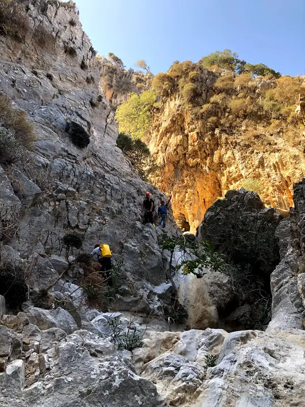
The section known as Havgas begins close to the Minoan settlement of Azorias and concludes its path in Kavoussi. Despite its short length of only 700m, traversing it via its stream demands technical (canyoning) gear due to the presence of six stunning waterfalls. The tallest of these waterfalls reaches 20 meters in height and retains water well into the late winter.
As an alternative, the gorge can be navigated by foot along the ancient hiking trail that skirts the canyon from its eastern side, linking Avgos to Kavoussi.
Located on the northern slopes of the Thripti range, near Kavoussi village and Avgos settlement, you’ll find the short but incredibly wild and imposing Mesonas gorge. This 4km long gorge requires technical canyoneering equipment to traverse its steep waterfalls. The gorge connects the Thripti Plateau to the Kavoussi plain, with its exit close to the Azorias archaeological site. The same stream forms the technical Havgas gorge, crosses the fertile Kavoussi plain, and eventually empties onto Tholos beach.
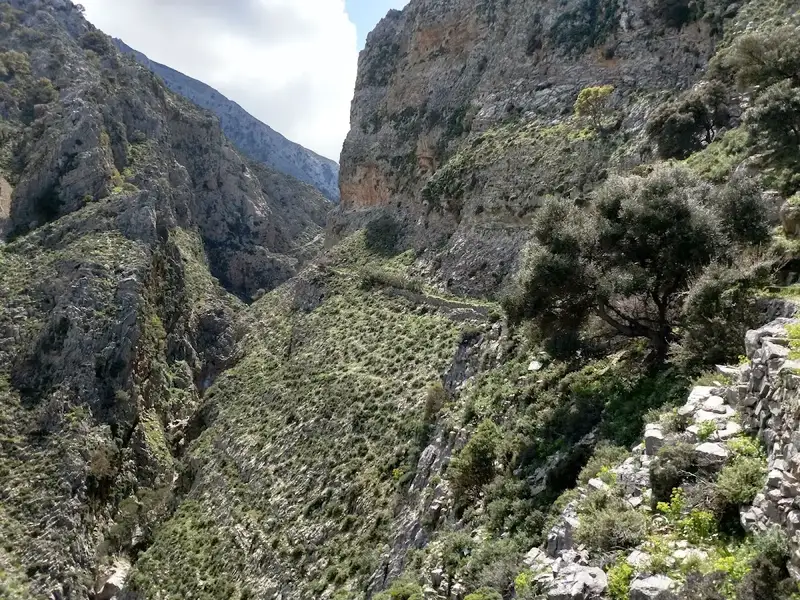
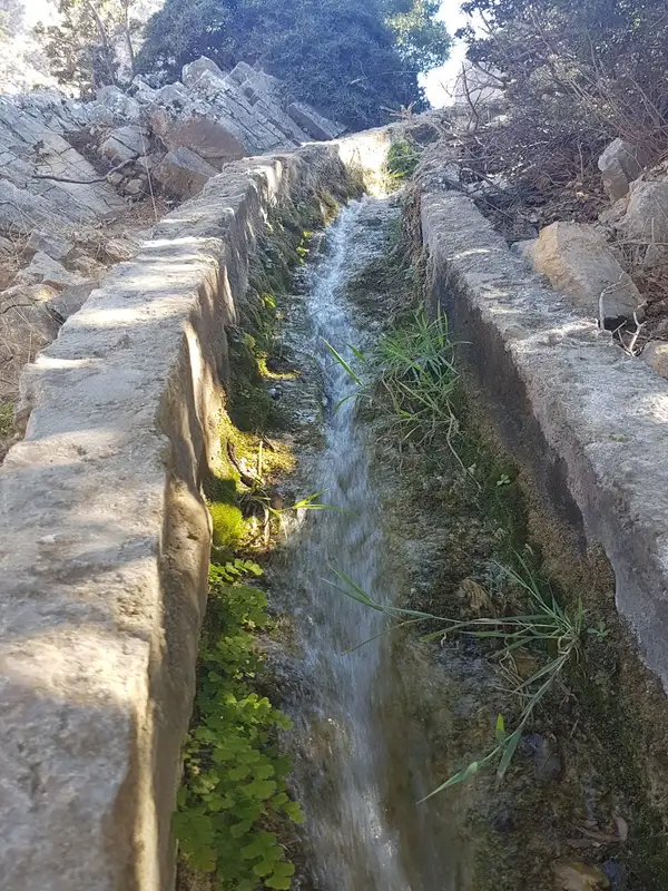
Starting from the Tsamadi position near Thripti village, there’s a hiking trail that runs high above the gorge bed, following the concrete channel used to transfer spring water to Kavoussi. The breathtaking views of the canyon, surrounding mountains, and Mirabello bay are beyond words. The trail descends to ancient Azorias, from where you can approach Kavousi via the ancient path parallel to the Havgas Gorge, or through the dirt road passing the Monumental Olive Tree of Azorias.
For canyon enthusiasts wanting to traverse the river bed, it’s worth noting that the water levels are generally low, with the flow ceasing mid to late spring depending on seasonal rainfall. The gorge starts out smoothly, with the hiking portion exceeding the steep descent sections. The last part of the gorge changes dramatically, narrowing significantly and forming high waterfalls, with the highest rappel at 30m. A small group of canyoneers can descend its 9 rappels in about 3 hours.
No results available
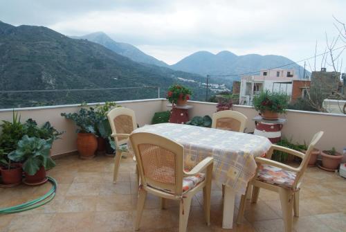
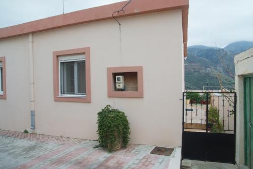
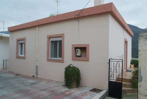
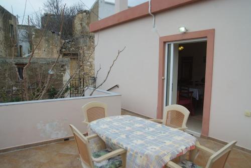
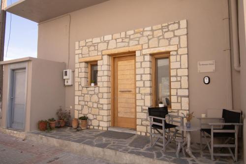
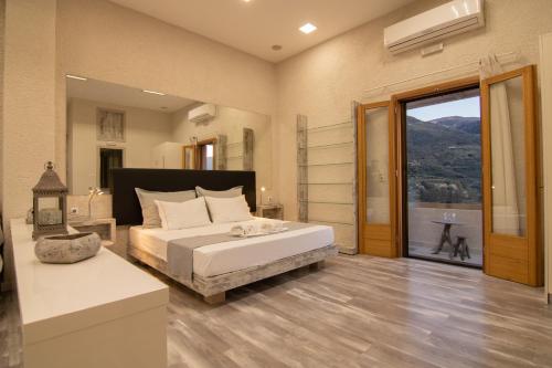
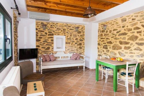
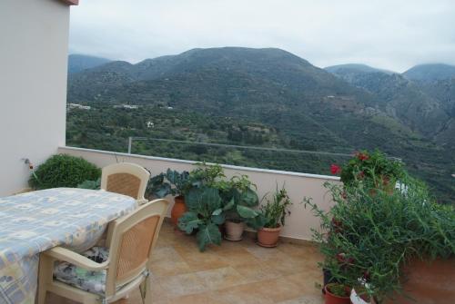
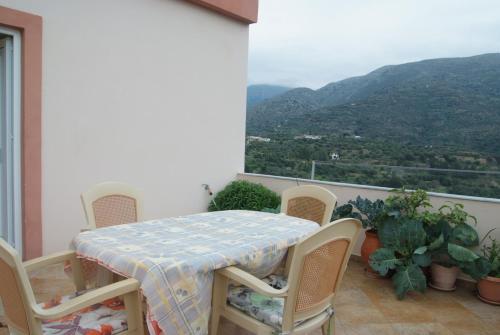
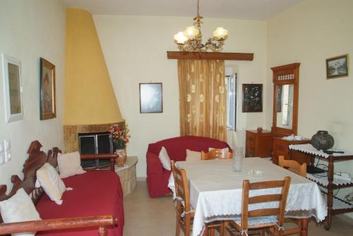
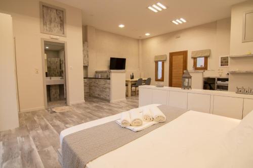
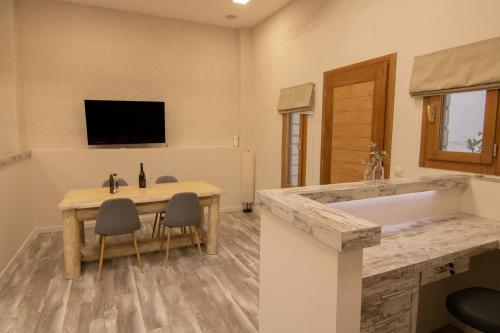
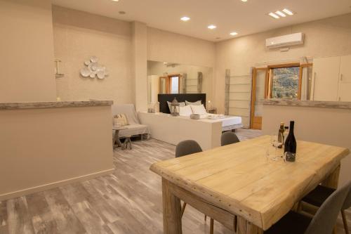
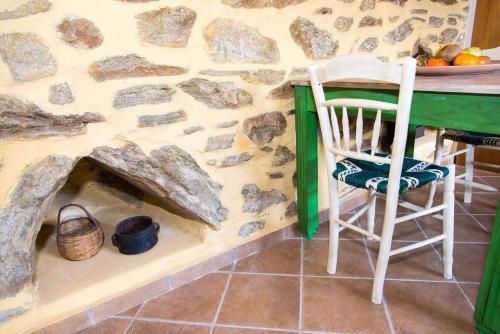
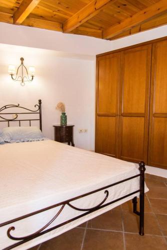
Set in Tourlotí, 41 km from Lake Voulismeni and 49 km from Vai Palm Forest, Tourloti Village House offers air conditioning. It features inner courtyard views and free WiFithroughout the property.
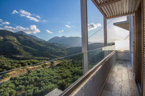
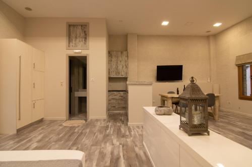
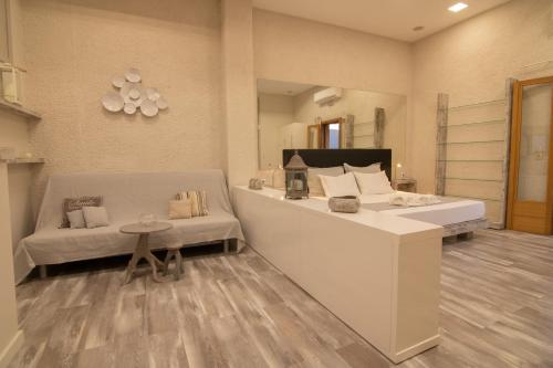
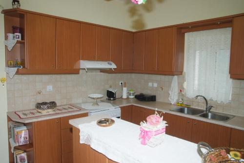
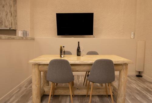
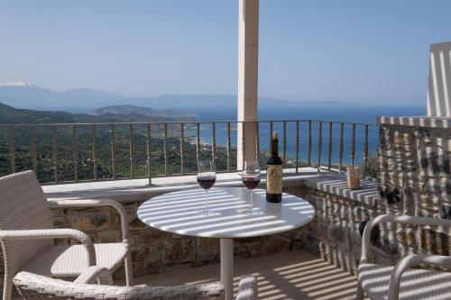
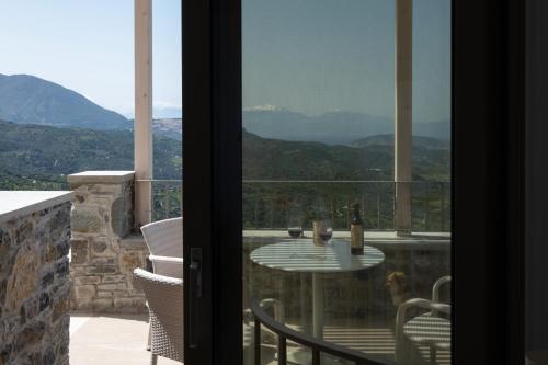
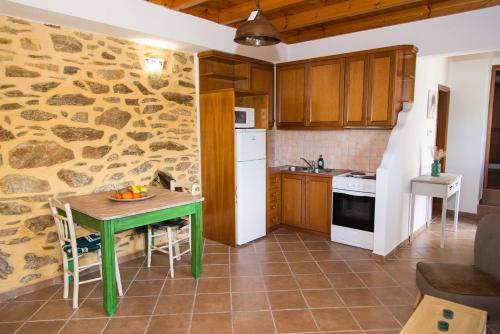
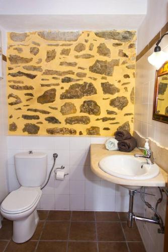
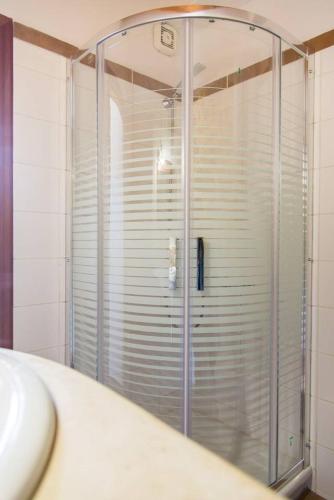
The apartment is fitted with 2 bedrooms, 1 bathroom, bed linen, towels, a flat-screen TV with streaming services, a dining area, a fully equipped kitchen, and a terrace with mountain views.
Panagia Kera Church (in Kritsa) is 41 km from the apartment, while Agios Nikolaos Port is 42 km away. The nearest airport is Sitia Public Airport, 24 km from Tourloti Village House.
from
€82
/night
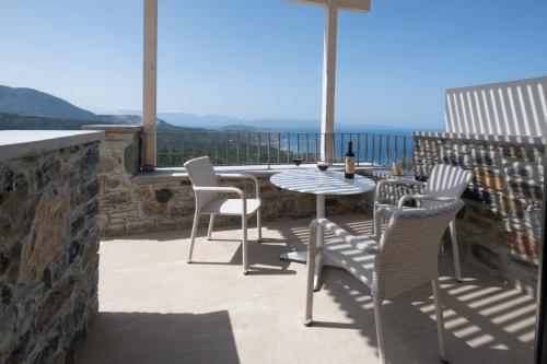
Situated in Tourlotí, 41 km from Lake Voulismeni and 49 km from Vai Palm Forest, The Mountain House features air-conditioned accommodation with a balcony and free WiFi. With garden views, this accommodation offers a patio.
The apartment has 1 bedroom, 1 bathroom, bed linen, towels, a flat-screen TV, a dining area, a fully equipped kitchen, and a terrace with mountain views.
Panagia Kera Church (in Kritsa) is 41 km from the apartment, while Agios Nikolaos Port is 42 km from the property. The nearest airport is Sitia Public Airport, 24 km from The Mountain House.
from
€59
/night
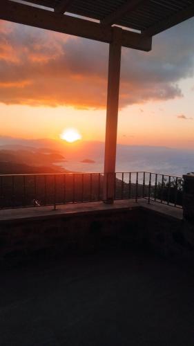
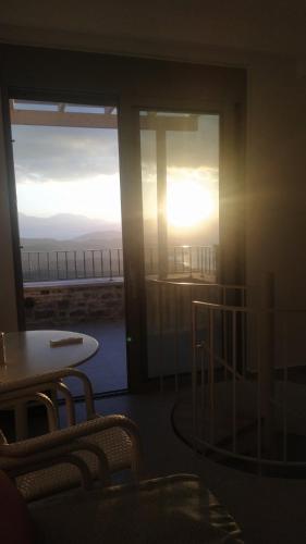
Located in Mirsíni, 44 km from Lake Voulismeni and 46 km from Vai Palm Forest, PALMAR CLUB – Villa Aphrodite provides air-conditioned accommodation with a balcony and free WiFi. With mountain views, this accommodation offers a patio.
The holiday home with a terrace and sea views features 1 bedroom, a living room, a flat-screen TV, an equipped kitchen with an oven and a toaster, and 2 bathrooms with a shower. Towels and bed linen are provided in the holiday home.
Panagia Kera Church (in Kritsa) is 44 km from the holiday home, while Agios Nikolaos Port is 45 km away. The nearest airport is Sitia Public Airport, 21 km from PALMAR CLUB – Villa Aphrodite.
from
€79
/night
Boasting air-conditioned accommodation with a patio, Agrilos Οlive Τree Αpartment is situated in Mirsíni. This apartment is 44 km from Panagia Kera Church (in Kritsa) and 45 km from Agios Nikolaos Port.
With free WiFi, this 1-bedroom apartment features a TV, a washing machine and a kitchen with an oven and microwave. Towels and bed linen are offered in the apartment.
Lake Voulismeni is 44 km from the apartment, while Vai Palm Forest is 46 km from the property. The nearest airport is Sitia Public Airport, 21 km from Agrilos Οlive Τree Αpartment.
from
€64
/night
No results available
Connect with thousands of Crete visitors and boost your bookings.
No results available
© All rights reserved. Crete Locals