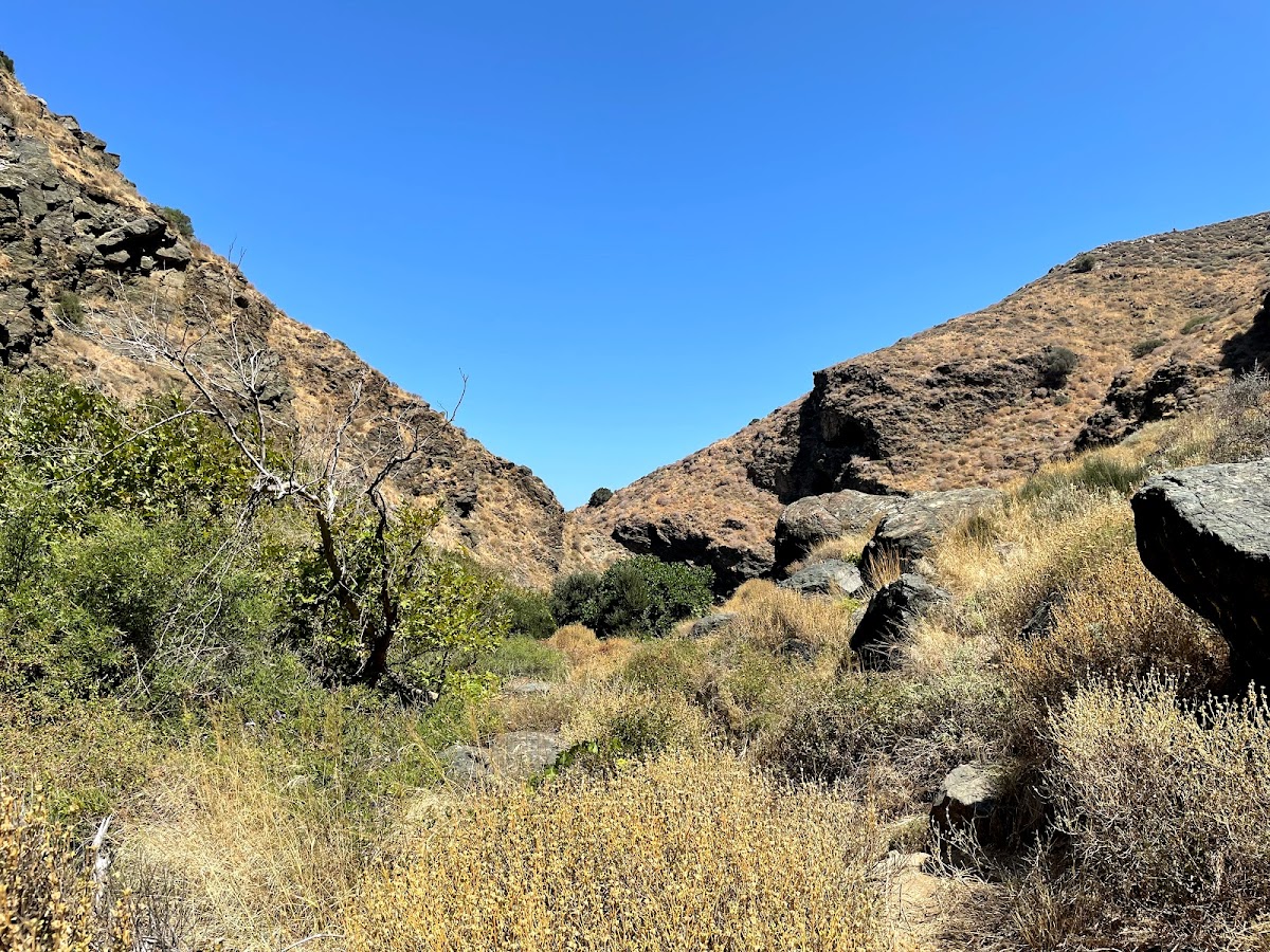
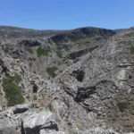
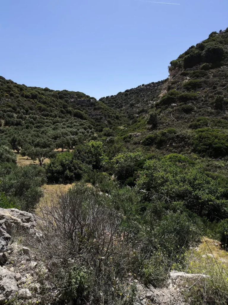
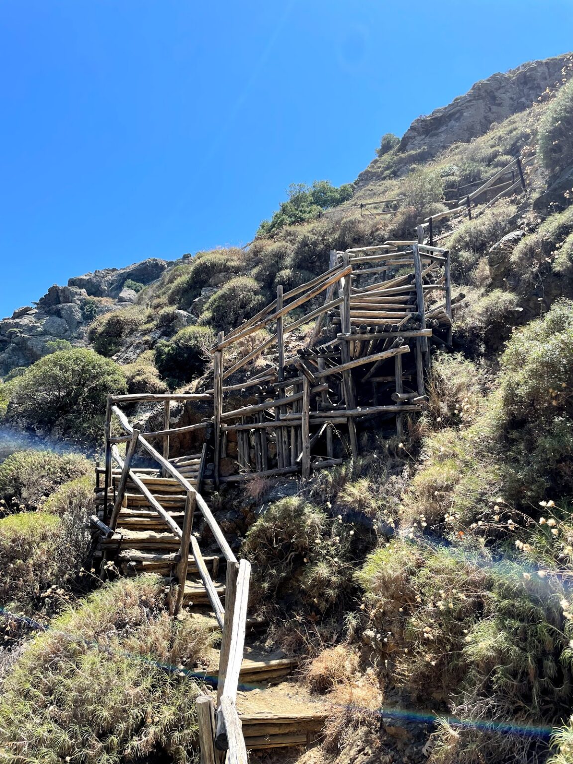
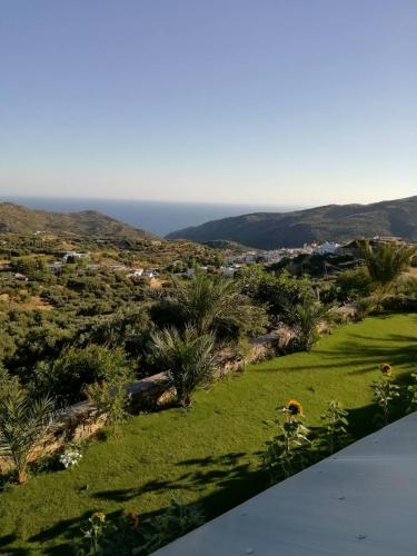
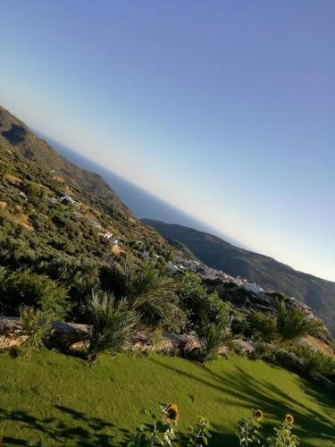
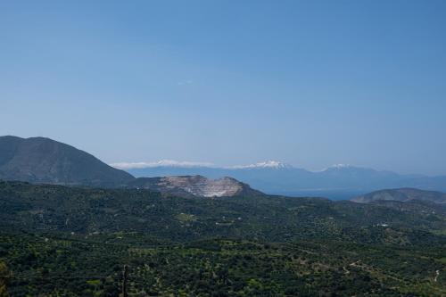
The Richtis Gorge, situated in the Lasithi Prefecture on Crete’s northern side, lies between the cities of Agios Nikolaos and Sitia. The trail begins just outside Exo Mouliana village and concludes at Richtis beach, to the east of Kalavros village. The entire route spans roughly 3 kilometres, with an elevation difference of around 350 meters between the starting point and the beach. Even in the summer months, the gorge retains a plentiful water supply, utilized for local agriculture. The water in the gorge is collected from the Drymias peak (918m) of the Orno range via the Lachanas and Mesa Mouliana streams, which converge near the trail’s starting point.
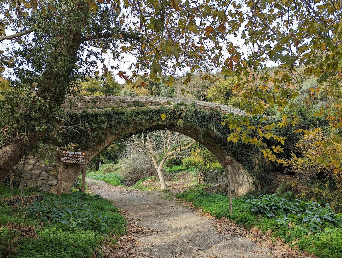
Depending on the hiker’s speed, the journey to the beach takes approximately three to four hours. The trail commences from the 19th-century stone-arched Lachanas bridge, a historic site where Christians reportedly killed local Turks attempting to reach Sitia and board a ship to Turkey during the population exchange between Greece and Turkey.
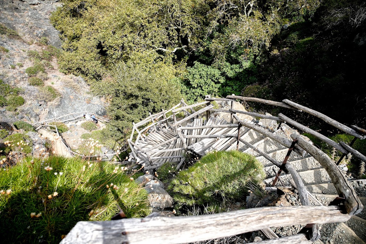
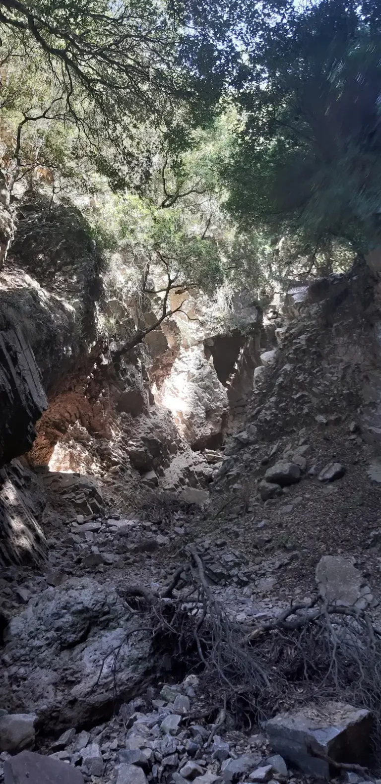
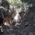
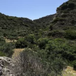
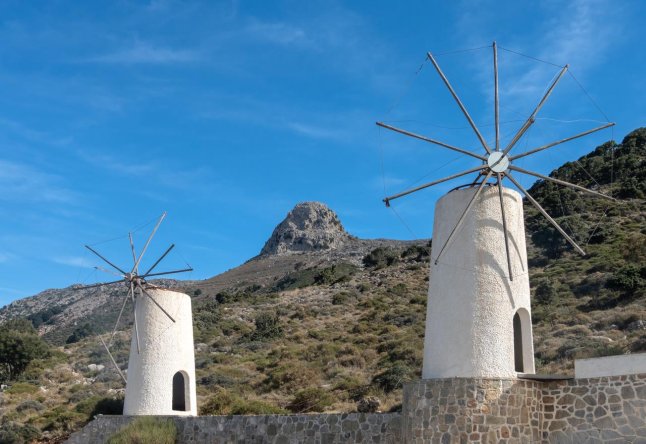
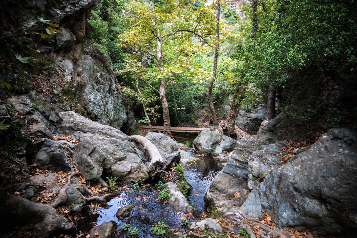
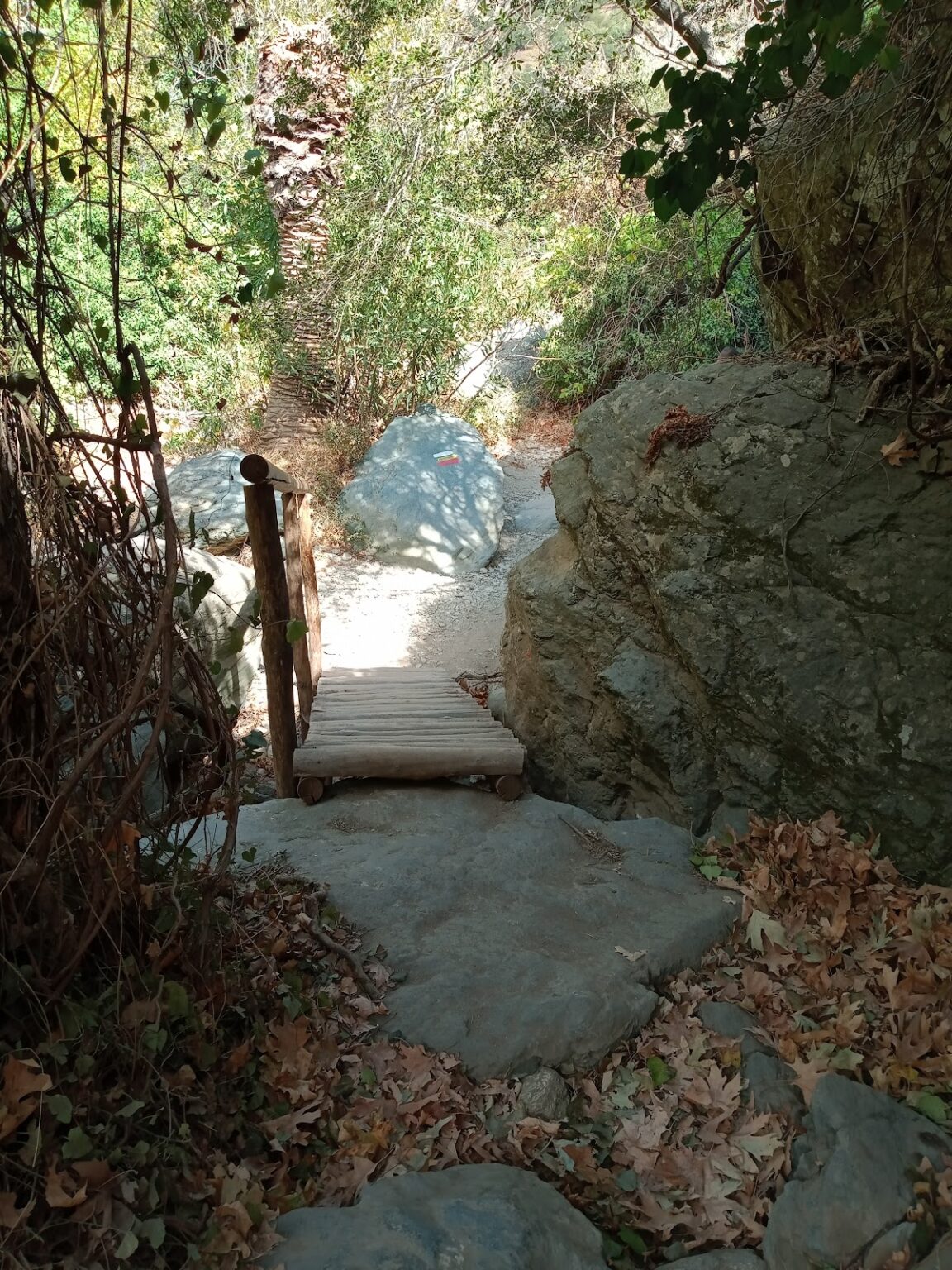
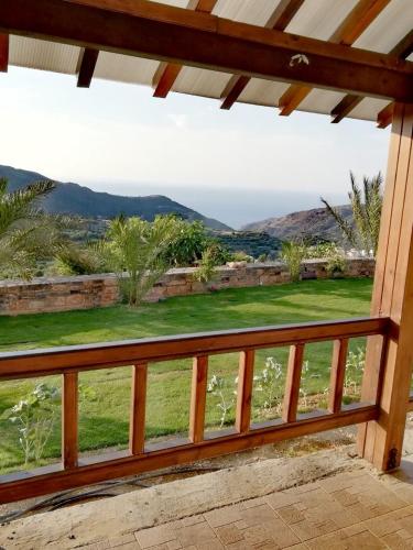
The path continues through a verdant landscape along the river, set against the stunning backdrop of Eastern Crete. The air is filled with the aroma of platans, oleander, and sage, and the scent of fresh herbs constantly shifts. Another notable feature is the old water mills that hikers encounter along the path, a testament to the past.
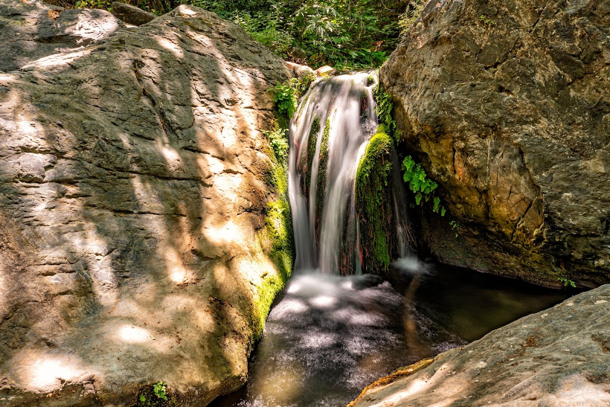
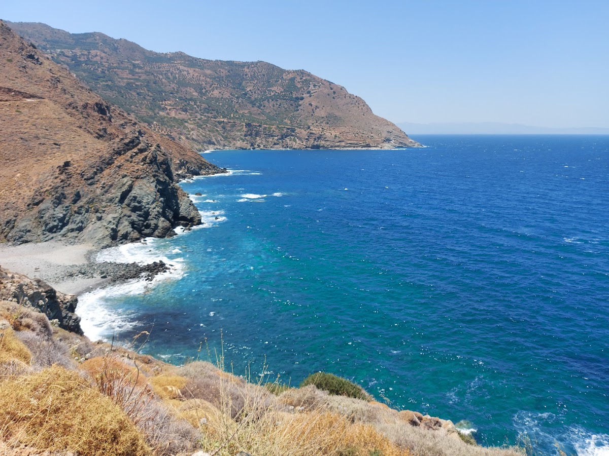
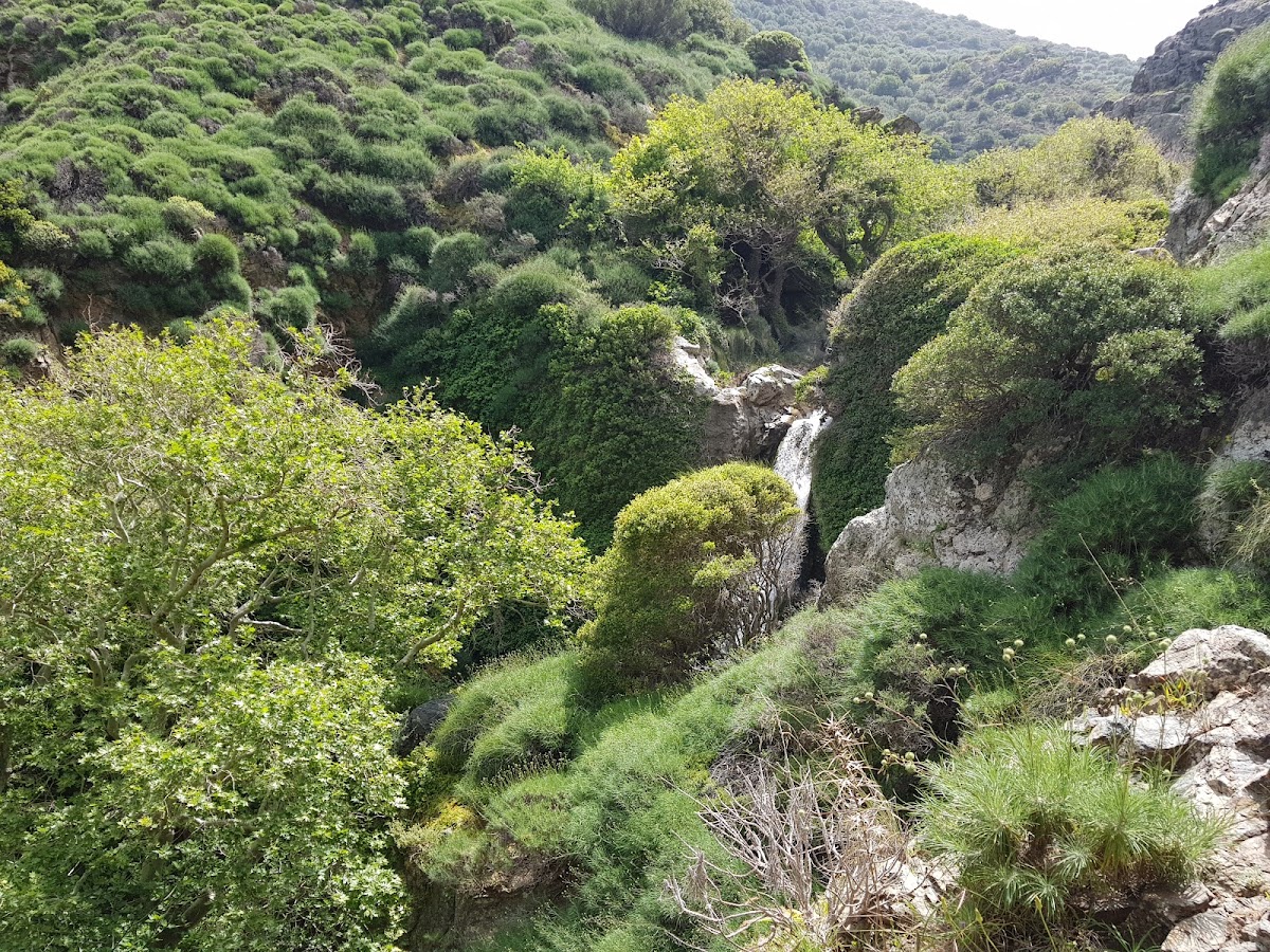
The crowning glory of the gorge is the breathtaking Richtis waterfall, which stands over 20 meters tall and forms a small pond at its base (the term “richtis” translates to “waterfall” in the Cretan dialect). The waterfall maintains its water flow even in the summer, providing a wonderful spot for a revitalizing dip. The trail concludes at the gorgeous pebbly Richtis beach, which features a small park with tamarisk trees, stone seats and tables, and a water fountain offering drinkable water.
Warning: To protect the delicate stream flora and fauna, please refrain from using sunscreen protection when swimming in rivers.
Tip: Many visitors choose to park their car on the main road at Exo Mouliana and walk down the paved road to the Lahanas bridge. By driving and parking next to the Lahanas bridge, you can save around 30 minutes of walking time. From there, it takes about 1.5-2 hours to reach the waterfall. For those less mobile or with young children, the quickest way to reach the waterfall is to drive along the narrow paved road to Richtis beach and walk for around 30 minutes in the opposite direction of the river.


