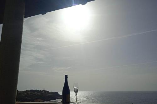
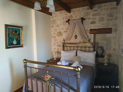
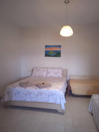
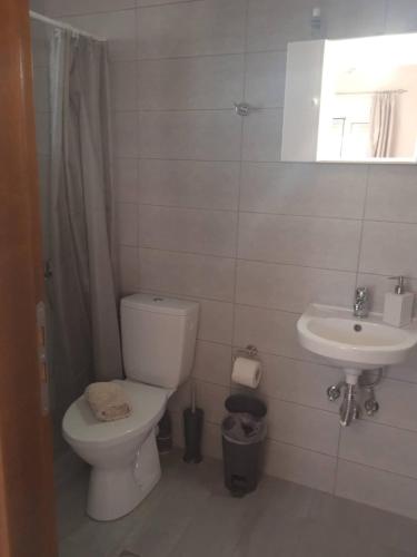
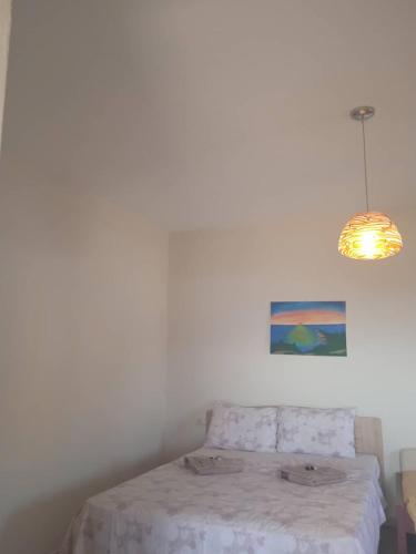
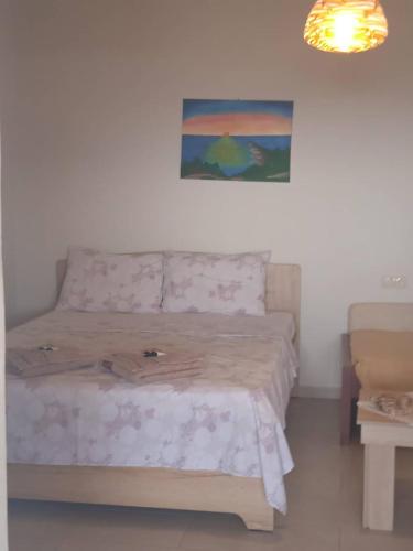
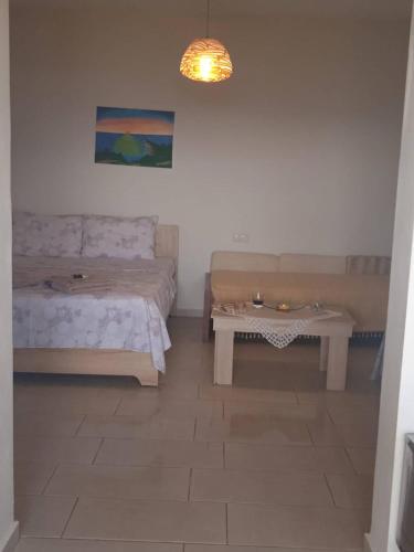
Studios Anna Maria has sea views, free WiFi and free private parking, set in Kapetanianá, 100 metres from Paralia Agios Ioannis.
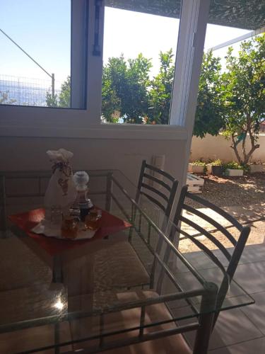
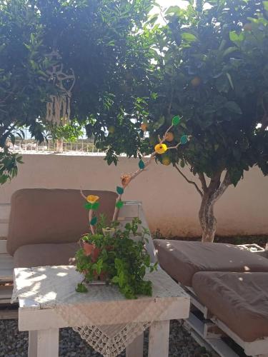
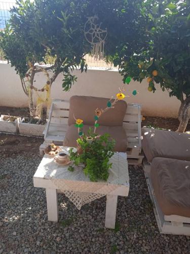
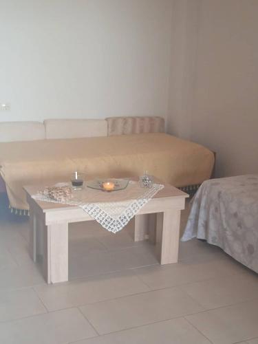
All units are air-conditioned and some of them feature a seating area with a flat-screen TV, and a fully equipped kitchen with a dining area. Some units have a terrace and/or a balcony with mountain or inner courtyard views.
Phaistos is 42 km from the apartment, while Museum of Cretan Ethnology is 43 km from the property. The nearest airport is Heraklion International Airport, 72 km from Studios Anna Maria.
Agios Ioannis Kofinas
No results available
Find below list of things to do near Studios Anna Maria:
No results available
Find below list of beaches near Studios Anna Maria:
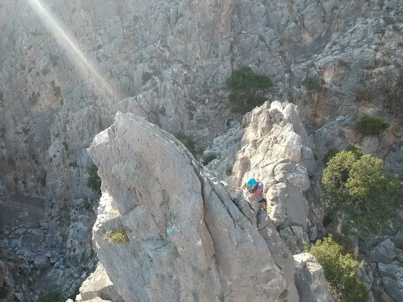
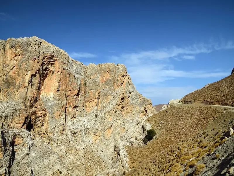
The quaint seaside village of Agios Ioannis, situated 73km south of Heraklion, lies just south of Kapetaniana village. Kapetaniana is nestled near the highest point of the Asterousia Mountains, the Kofinas Peak. It’s worth taking time to explore the Byzantine Church of the Panagia and the Church of the Holy Cross in Kapetaniana, or try your hand at the local climbing track.
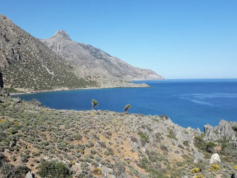
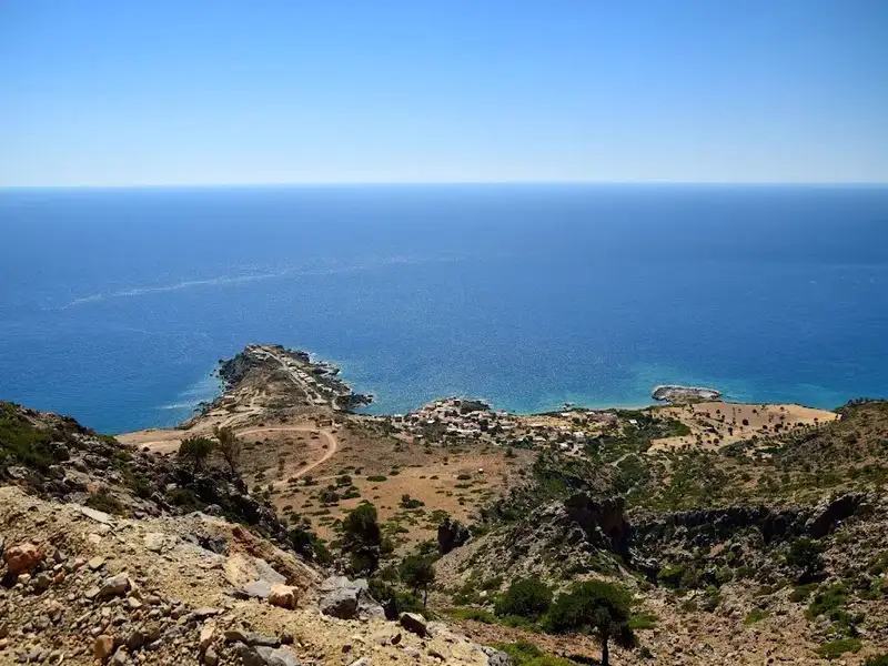
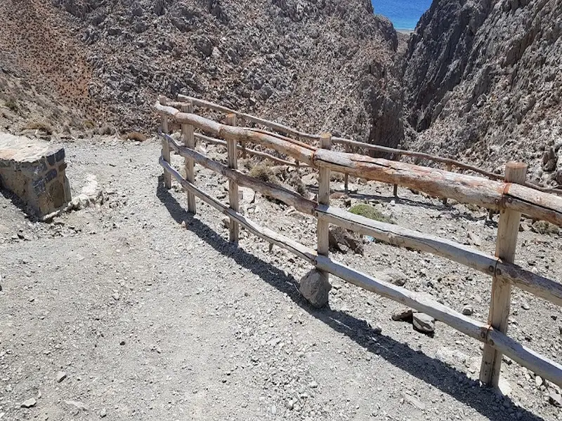
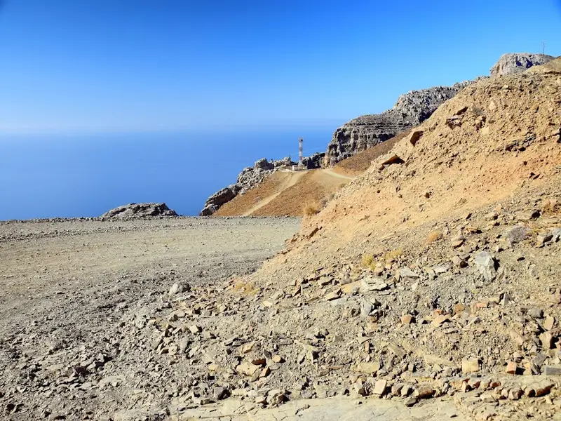
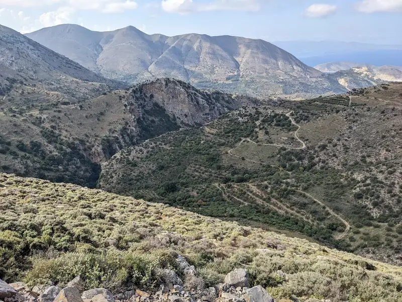
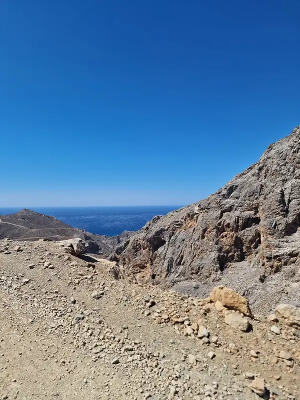
You can journey from Kapetaniana to Agios Ioannis via an 8km dirt road. Beginning at an elevation of 750m, the route offers breathtaking views of the South Cretan Sea and the rugged landscape of Asterousia. At the end of a dusty, bumpy ride, you’ll arrive at the settlement where residents, primarily from Kapetaniana, spend their summers. Unfortunately, illegal construction mars the splendid southern Cretan scenery. Agios Ioannis derives its name from the ancient cavernous monastery of Saint John, adorned with striking frescoes.
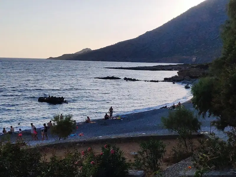
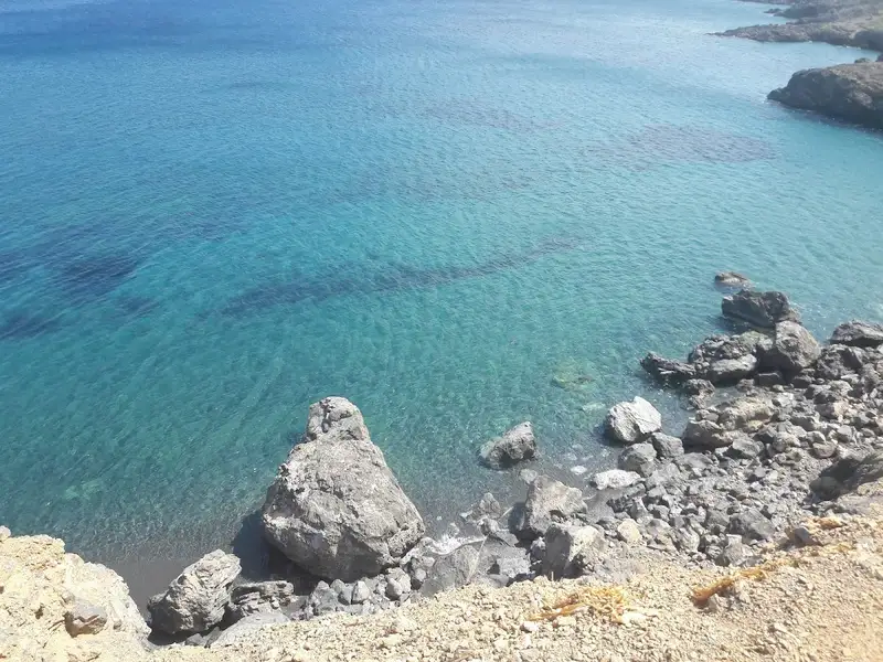
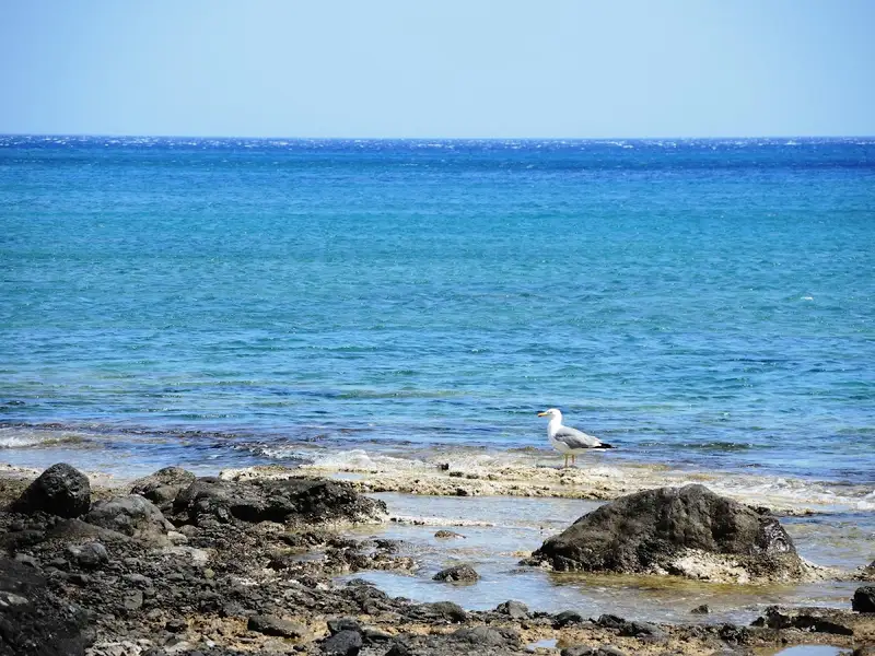
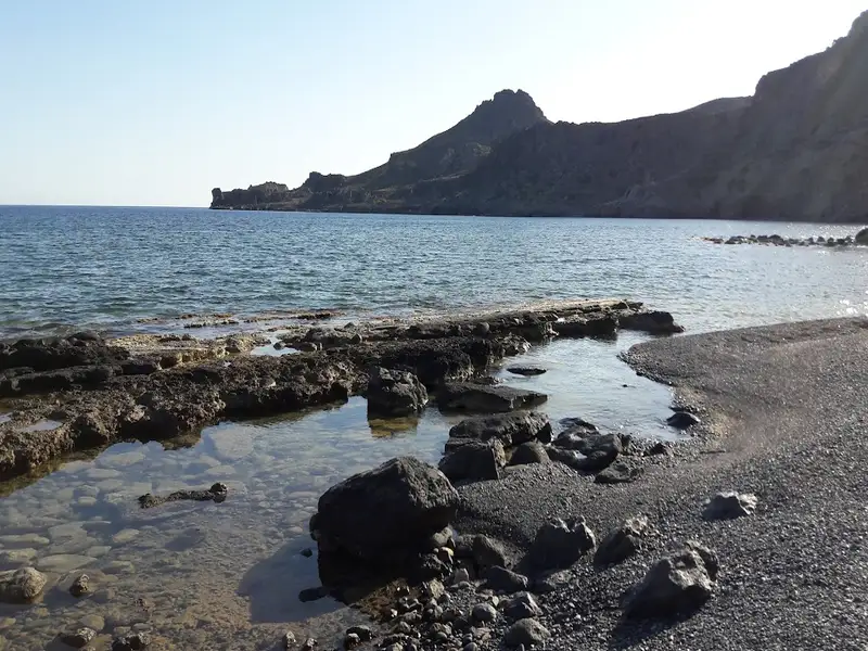
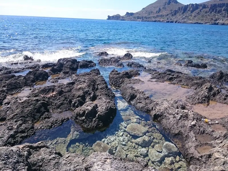
The village of Agios Ioannis is nestled at the base of and along the small Ponda peninsula. To the west of Ponda, lies the serene Agios Ioannis beach, a haven of small pebbles and vibrant turquoise waters. Its rocky seabed is ideal for fishing. While it’s not officially organized, you’ll still find locals enjoying the beach. A few taverns, a mini market, and some accommodation options are available. Camping is also a great way to enjoy the tranquility of the area.
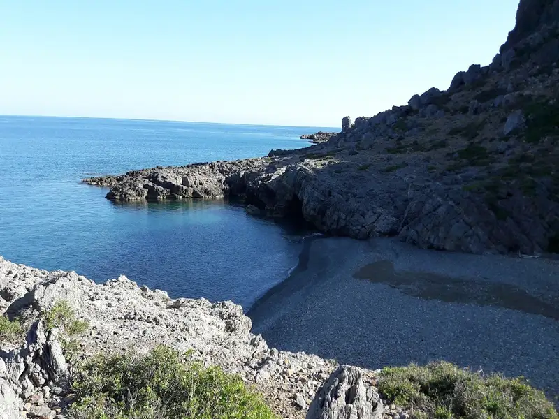
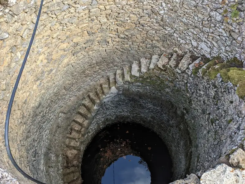
If you prefer more solitude, the beach of Eligia to the east of the peninsula is a must-visit. This beautiful beach, adorned with fine pebbles, is rarely crowded. Located at the end of the Volahas gorge, named after the Cretan word for rock, volakas, Eligia houses a small cave rumored to contain a princess’s treasure after her demise, hence the name Princess cave. Locals, however, refer to it as Gourounospilios or Pig Cave, after the pigs that were once kept there. There’s also a remarkable well on the beach, known as Kakopigado, where you can drink fresh water all year round. For those seeking even more seclusion, Agios Antonios to the east is worth exploring.
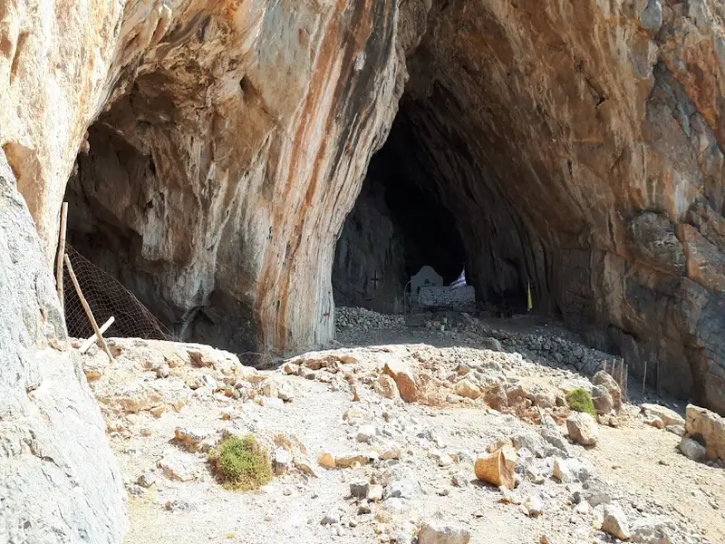
St. Anthony, also known as Agios Antonios, is situated 71 kilometers south of Heraklion, nestled between the village of Agios Ioannis and Koudoumas Monastery on Crete island. This secluded area is accessible only by a footpath linking Agios Ioannis to the monastery, meandering amid pine trees. Midway along the path (20′-30′), a Δ-shaped cave housing the quaint St. Anthony chapel can be observed from a distance. The cave, adorned with stalactites and stalagmites, drips holy water into three troughs. This cave was once a refuge for monks, including Saint Parthenios and Evmenios, the founders of Koudoumas Monastery.
The surrounding landscape is dotted with several small bays that house pristine beaches with coarse sand and crystal-clear deep waters. These secluded beaches are encircled by towering cliffs and small caves providing shade. The remoteness and challenging access make this location perfect for those seeking solitude or for fishing enthusiasts, as it can only be accessed by swimming from the sides. The largest beach is named Agios Antonios or Green Beach, named after the nearby St. Anthony’s cave and the sea’s hues. The two smaller coves to the west are known as Small (Mikro) Agadiko and Big (Megalo) Agadiko, which are not directly visible from the trail. Additionally, the small cave of Hostospilios, located west of Agios Antonios and near Agadiko beaches, is also worth visiting.
The Salamia(s) Bay, situated 74km south of Heraklion and between Agios Ioannis and Tripiti, is one of Crete’s most secluded regions due to the absence of nearby roads. It can be accessed via boat or an easy walk from Agios Ioannis, following a crossing at the Avolakias beach. The bay’s name, Salamia, has its origins from the Italian word ‘salamentum’, meaning brine, which shares a root with the word salt – a product still harvested by locals in the Salamia area.
The Salamiano Gorge, one of several canyons found in the Asterousia Mountains, opens out at Salamias. At the gorge’s exit, numerous beaches with rough sand are formed. The area is adorned with a small grove of wild olive trees, providing a serene setting for swimming and fishing, particularly for those with a boat. As the area is often deserted, naturism is permissible.
The gorges surrounding Salamias (including Flomias, Koumos, Gerakia, Goula, Eligia, and others) serve as crucial habitats for a variety of rare avifauna and plants. These regions remain among the few places in Crete that are authentic and untouched by human activity.
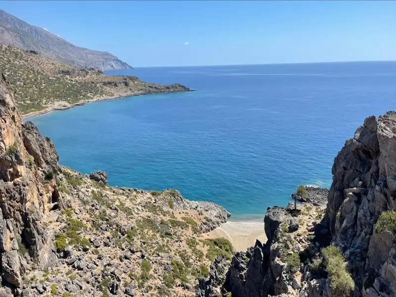


The petite stone-strewn beach, Vourlidia, situates at the termination point of the Flomias gorge, on the western region of Salamis bay, and at the bottom of Cape Oxa. This remarkable beach is accessible after a demanding hike from either the Agios Ioannis settlement to the east or from Tripiti beach to the west. The area surrounding the beach can be reached via a poorly maintained dirt path from the villages of Koumasa or Kapetaniana.
No results available
Find below list of gorges near Studios Anna Maria:
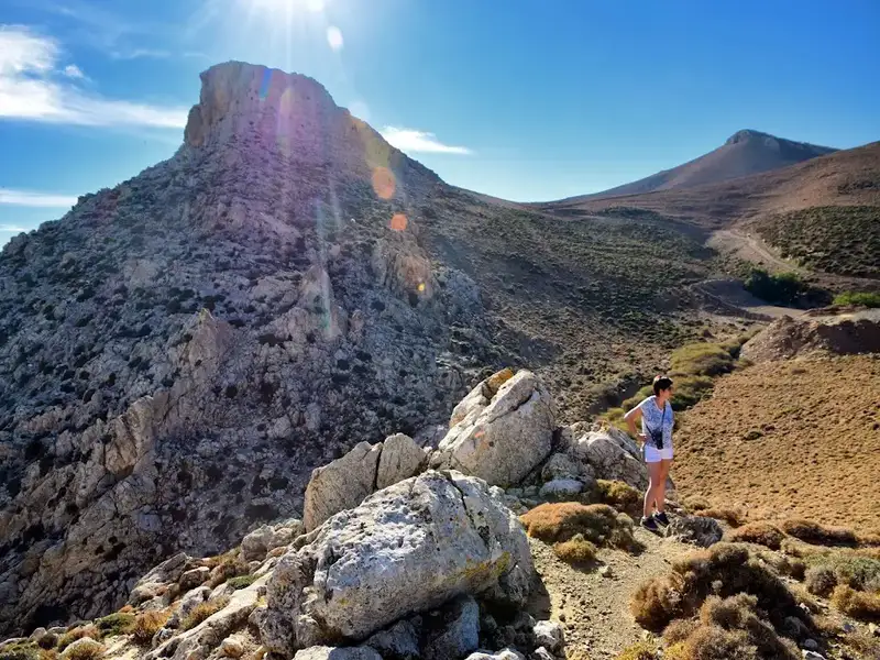
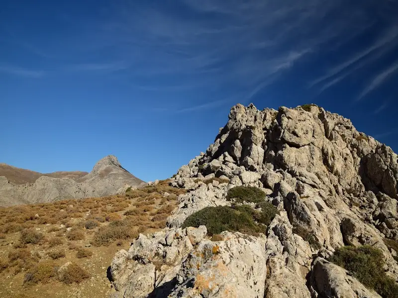
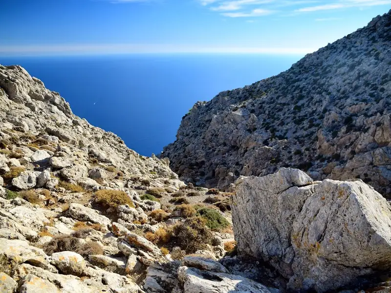

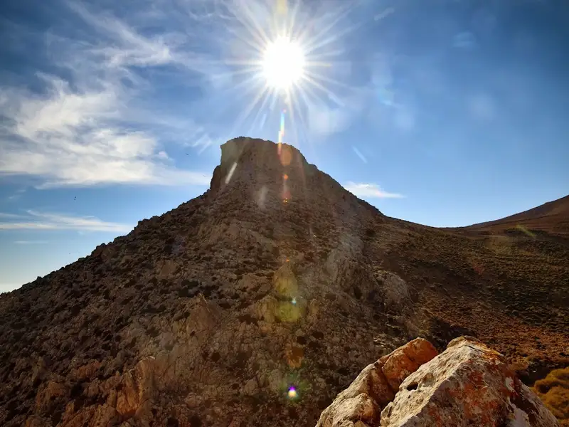
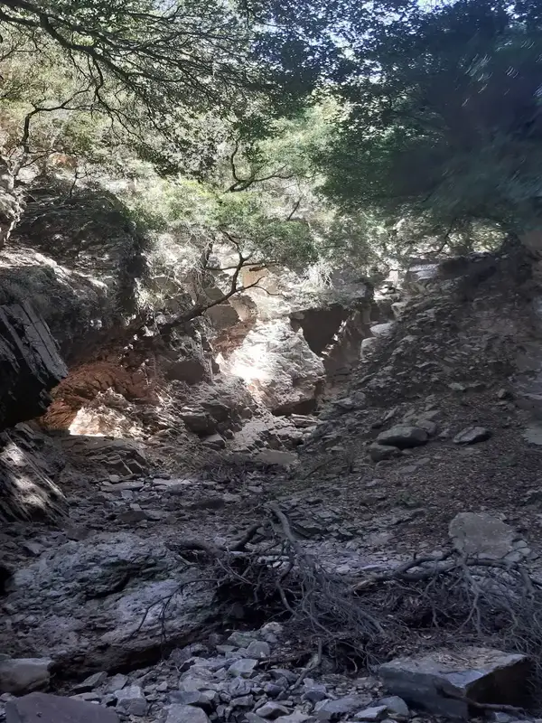
The Koumos Gorge, nestled in the Kapetaniana region, concludes near the coastal village of Agios Ioannis, amidst a landscape abundant with pine trees. This relatively undiscovered gorge requires technical equipment for access, making it exclusively passable for canyoning experts. Typically, the gorge remains dry, but intense rainfalls transform it into a spectacle of stunning waterfalls. The tallest waterfall reaches a height of 60m, accompanied by approximately 10 smaller cascades.
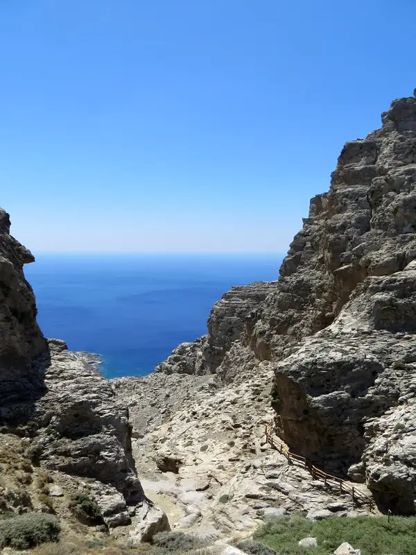
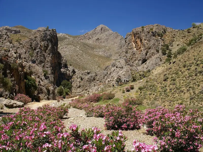
The Goula Gorge, a rugged canyon nestled in the Asterousia Range, begins just south of the village of Kapetaniana and concludes at the coastal settlement of Agios Ioannis. Like its counterparts in the area, such as Flomias, Salamiano, Koumos, Gerakia, and Valahas, it is untraversable without the correct canyoneering gear. Nonetheless, there is a hiking trail on the eastern side of the gorge that takes approximately 2 hours and 30 minutes to complete.
Entry to the gorge is via Kapetaniana, with the closest access point being the telephone antenna en route to Agios Ioannis. The gorge boasts 18 rappels, the tallest of which is 55m, and others measuring 25m, 15m, 13m, and smaller. The gorge spans roughly 1700m in length and a team of five would require around 4 and a half to 5 hours to traverse it.
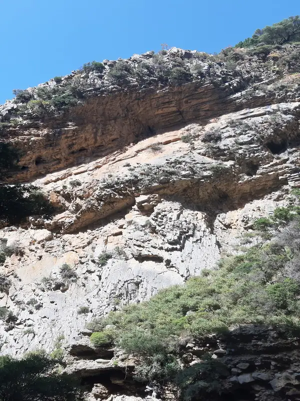
The gorge’s beauty lies in its wild and haunting rocky landscape, caves, and rock shelters. The primary vegetation is pine trees. Although it is generally dry, the name “Goula” translates to “spring” in the local Cretan dialect. True to its name, Goula is home to the area’s main spring, which provides for the water needs of the Agios Ioannis settlement.
The Koudoumas or Kofinas gorge starts at an elevation of 1000m near the base of Kofinas, the tallest peak of the Asterousia Range, and concludes at the Koudoumas Monastery beach. Its initial segment is a technical gorge of exceptional beauty, locally known as Katarraktis (Waterfall) or Keadas (Kenad). The total descents in the gorge leading to Koudoumas monastery are 18, with the highest reaching 38m. The upper section is only accessible with canyoning gear and was first explored in 2004 by Kostas Psarakis and Manolis Kambourakis, and bolted in 2017 by the Asterusia Adventure Team (Manos Petrakis, George Makrygiannakis, Nikos Foukakis, Savvas Paragmaian, Giannis Aggelis, Christina Aggelidou, Savvas Eftychis, and Dimitris Karatarakis).
It is possible to descend the gorge without technical equipment by navigating around the Katarraktis section. However, caution is required due to the area’s steep slopes, unstable ground, and lack of marked trails, which can strain the knees.
As you descend, the initial vegetation is predominantly cypress and oak trees, but as you near sea level, pine trees become more prevalent.
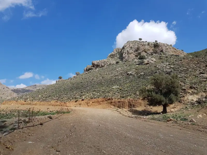
The Trypiti Gorge, nestled in the Asterousia mountain range, lies south of Vassiliki village and channels water from the valley east of Miamou village through the Agiosavvitis river. Stretching over 4 km, the gorge ends in a stunning pebble beach named Tripiti. A dirt road, running along the eastern side of the gorge, provides access to the beach, following several kilometers before reaching the riverbed at the sea’s edge.
The gorge narrows near Saint Paraskevi church, situated at an elevation of 655m. The initial section of the gorge houses steep waterfalls, making it inaccessible without technical expertise and canyoneering equipment. The western side, in particular, is incredibly steep and dangerous. The Prophet Elijah church is a prominent feature at Katsakne, the peak of the western slopes. This church can be accessed via another dirt road that begins about half a kilometer before the gorge’s entrance.
Midway through the gorge, close to the dirt road, lies the Saint Savas church, surrounded by wild olive trees. The unique feature of this woodland is its wild, uncultivated olive trees, offering a glimpse into the natural habitat of these trees. The gorge is also home to an array of wildlife and bird species.
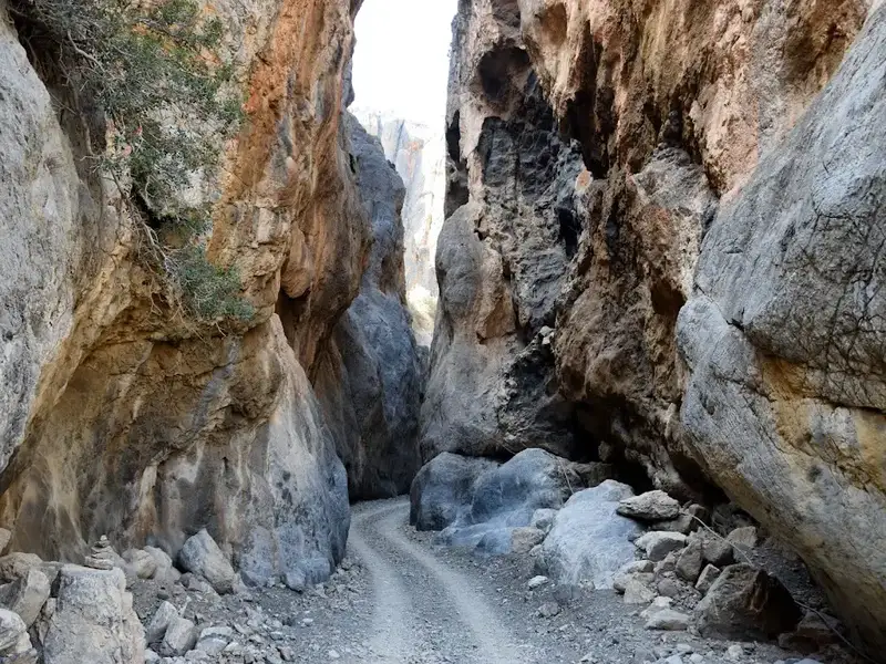
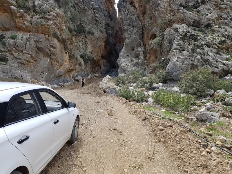
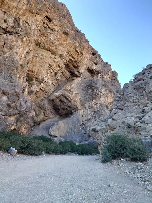
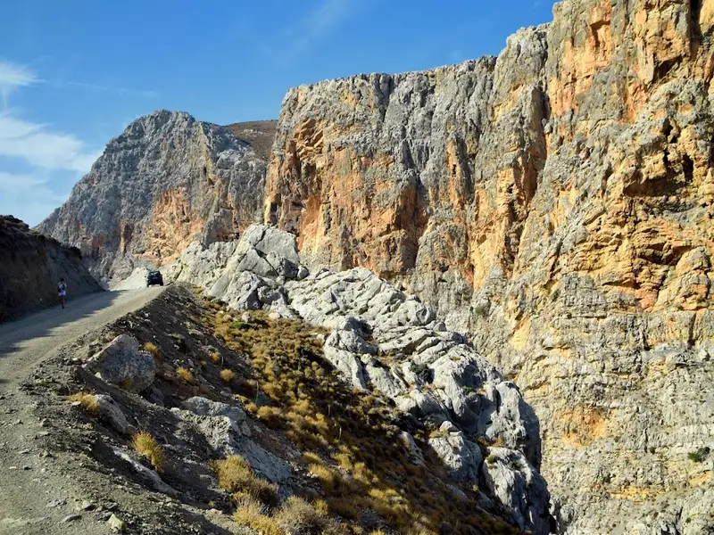
As you continue towards the sea, the road merges with the ravine and soon leads to the most picturesque part of the gorge: the narrow canyon, also known as Steno Faragi. Here, the sides of the gorge come so close together that they appear to touch. A road, just wide enough for a car, passes through this narrow gap. At the end of this narrow section, next to the beach, you’ll find the Panagia Tripiti church, built inside a cave, that celebrates its feast on September 1st.
The Trypiti Gorge is known by various other names, including Saint Savas Gorge, Katsakne, and Lavri. On the eastern side’s Papouri hill, archaeologists have uncovered a significant Preminoan settlement. Additionally, vaulted graves have been discovered at the Kalokambos location.
No results available
© All rights reserved. Crete Locals