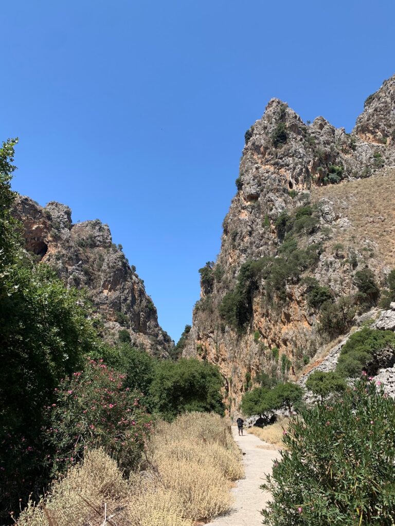
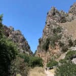
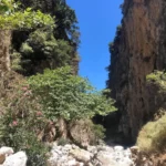
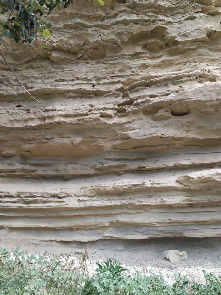
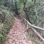
The Rocca, Roka, Rocka, or Rokka Gorge, situated 32km west of Chania in the Kolymbari region, stretches for 2km from the village of Deliana to the village of Roka. The settlement features Trouli hill, which is home to the remnants of a Byzantine fortress.
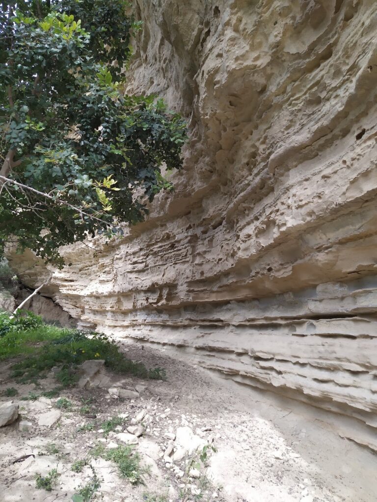
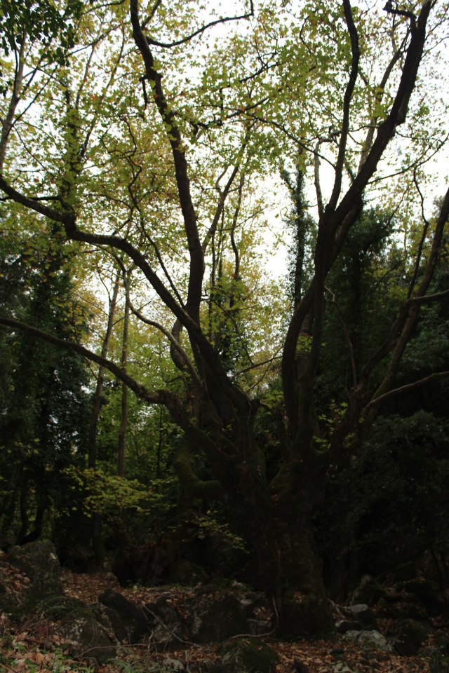
Despite the ease of hiking through the gorge (typically a 2-hour trek), it can be challenging to traverse without getting wet during periods of water flow in the narrower sections. The gorge is adorned with numerous plane trees that provide a cool respite from the sun. The gorge’s vertical sides are incredibly tall and impressive at certain points. The main path follows the dry riverbed during the summer.
Upon exiting Roka gorge, you’ll encounter the Mesonisi settlement. Following a dirt road will lead you to Roka village and Trouli hill. You can climb up to the castle ruins for a breathtaking view of the surrounding areas, or unwind in the local coffee shop.
The Deliana – Mesavlia Gorge, a point of contention between the villages of Mesavlia and Deliana, is situated 37km to the west of Chania. This disagreement is even evident in the area’s signage. The gorge begins in Mesavlia and stretches 5km to Deliana. A dirt road that runs alongside the riverbed makes the walk quite straightforward, taking approximately an hour. Originating from Mount Anavos, the river flows through the Mesavlia – Deliana Gorge, then the Roka Gorge, before finally reaching Nopigia beach.
The gorge is renowned for its lush vegetation, which is most vibrant in spring when water is plentiful. Not far from Mesavlia, you’ll find the cavernous chapel of Saint Paraskevi (Agia Paraskevi), which hosts an annual feast. Closer to Deliana, you’ll come across the chapel of Saint Photios (Agios Fotios).
The quickest way to reach the gorge from Chania is via Deliana, while the fastest route from Paleochora is through Mesavlia. From Deliana, you can hike (uphill) to Mesavlia and back, unless you’ve arranged for a pick-up from Mesavlia (2 hours round trip). Deliana and the nearby village of Panethimos offer several quaint, traditional taverns. Also worth a visit is the ruined monastery of Theotokos in the neighbouring village of Gra Kera.
The Gorge Chalase, also known as Porofarago, begins close to the Sassalos village and concludes just before reaching the Makronas village, after a four-hour journey through lush vegetation. The gorge is fed by two primary streams that converge south of Sassalos; the Mylonofarago ravine that originates from the Mylones village, and the Kalogirou stream.
Navigating through the gorge can be quite challenging due to a significant landslide (referred to as ‘chalase’ in the Cretan dialect) at a certain point, and the absence of a well-defined path. Near Malathyros, approximately halfway through the route, the trail transitions into a dirt road that follows the riverbed all the way to Makronas. Just before reaching Makronas, we come across a historical site where, on August 28, 1944, German forces executed 62 civilian men from Malathyros as retribution for the activities of local guerrilla groups. The German atrocities committed during this time have yet to be brought to justice.
Located about 35km southwest of Chania city, on the northern slopes of Mount Apopigadi, Palea Roumata is a verdant area. This region is made up of 13 neighborhoods, all part of the same village (Palea Roumata), spread across the slopes. Near the small settlement of Lidiana, the Vavouledo and Trachinos canyons converge, providing an ideal circular route with water until late spring.
The Trahinos Gorge, starting near the Trahinos hamlet, is fairly short but stands as one of Crete’s greenest gorges. Its walls are so narrow that they’re almost unnoticeable from above. The gorge is filled with dense vegetation, often casting shadows over the riverbed. Similar to Vavouledo, the Trahinos Gorge also features a hiking trail.
The Vavouledo canyon begins approximately 1km east of Hamalevri village, where the Hortes stream flows. A path follows the length of the canyon. Close to Lidiana village, the canyon merges with the Trahinos Gorge, and the combined river continues to the “cosmopolitan” district of Palea Roumata, Arhontika. Here, you’ll find taverns where you can enjoy a meal.
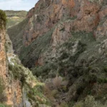
The gorge of Topolia (Topoliano) is located in west Crete and it runs along the road leading to Elafonissi via Elos. The canyon actually starts near the village Strovles at an altitude of 450m, and exits near the village Topolia, at an altitude of 150m. However, the narrowest and most impressive hiking part of the gorge is located between Katsomatados and Topolia, where the side rocks are very high and steep. The canyon is crossed by the River Tyflos, which originates from Mount Dikeos. At the beginning of the narrow part, it is worth visiting the Cave of Agia Sofia, located just above the main road.
The canyon and the wider area host rare and endemic plants of Crete, while the Cave of St. Sophia houses a species of cave spider that lives only there (Pholcus creticus). According to local traditions, Topolia Gorge hosted fairies and the Minoan goddess Vritomartis. Here, the legendary Talos used to stop and enjoy the divine music of the fairies. When Talos arrived at the place, rested inside a big cave, drank water and fell asleep. Then, the fairies and elves of the river arrived, singing and dancing.


