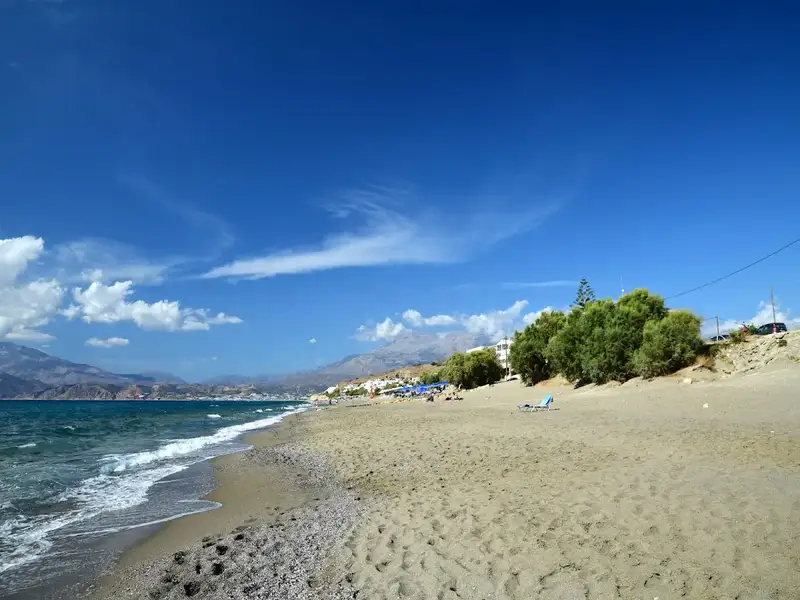
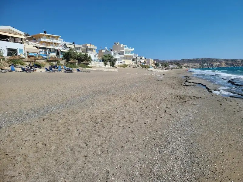
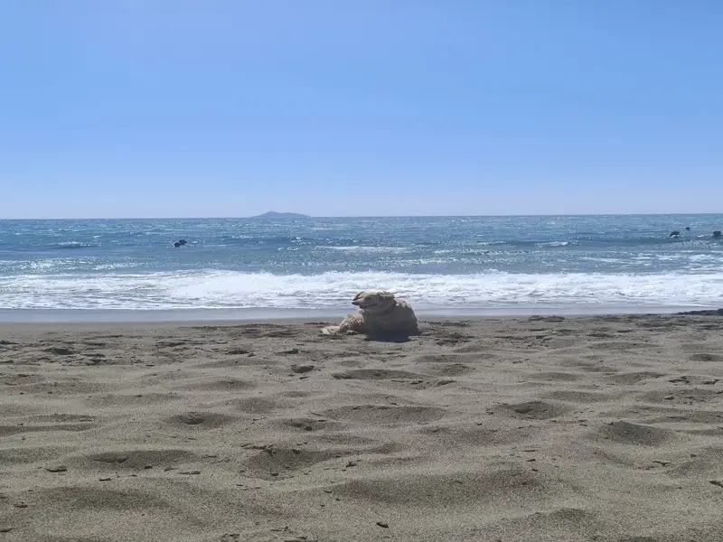
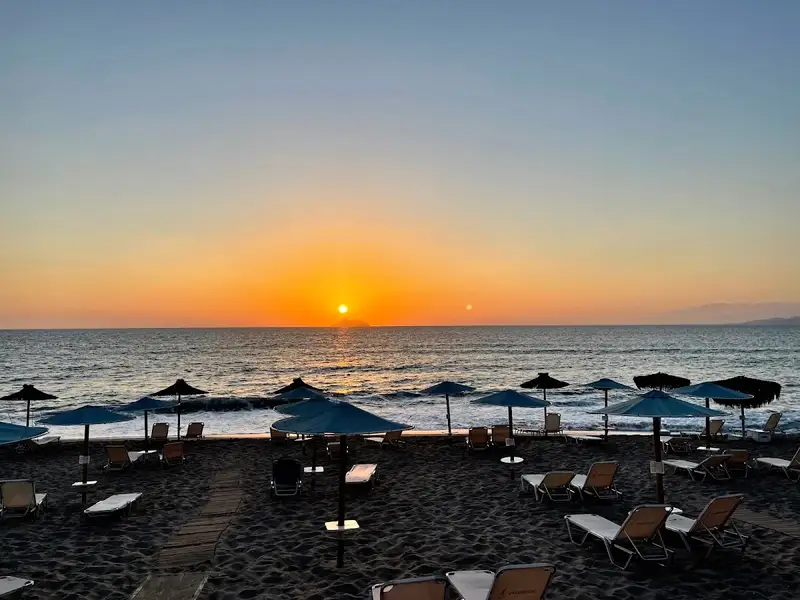
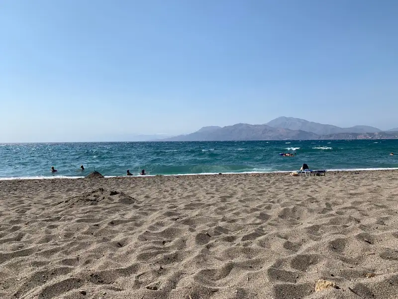
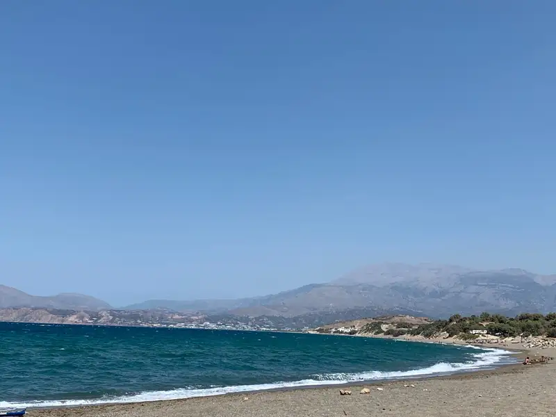
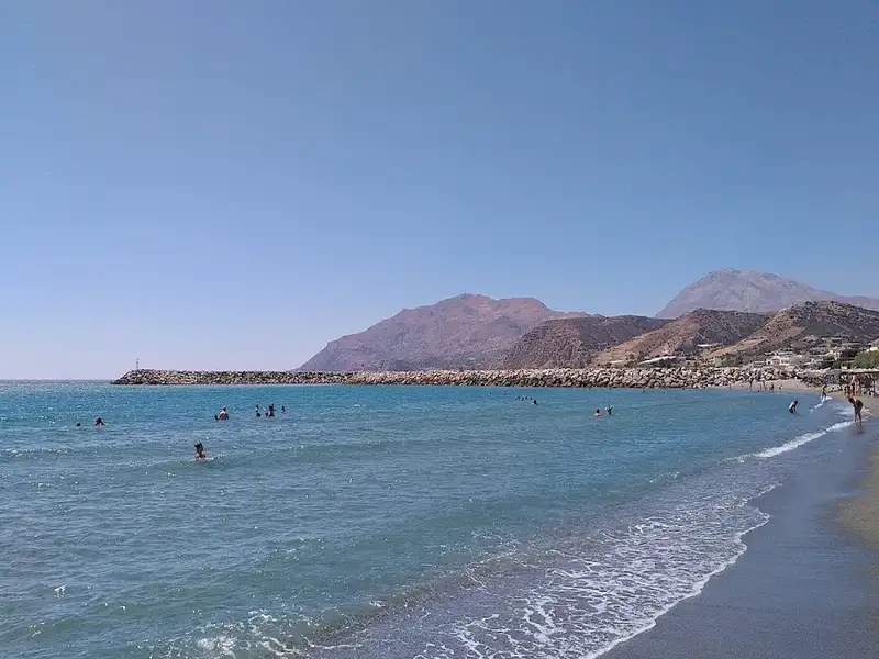
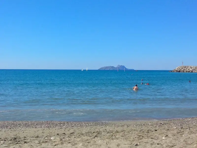
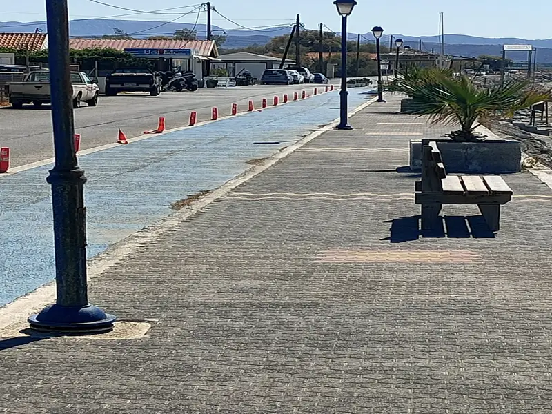
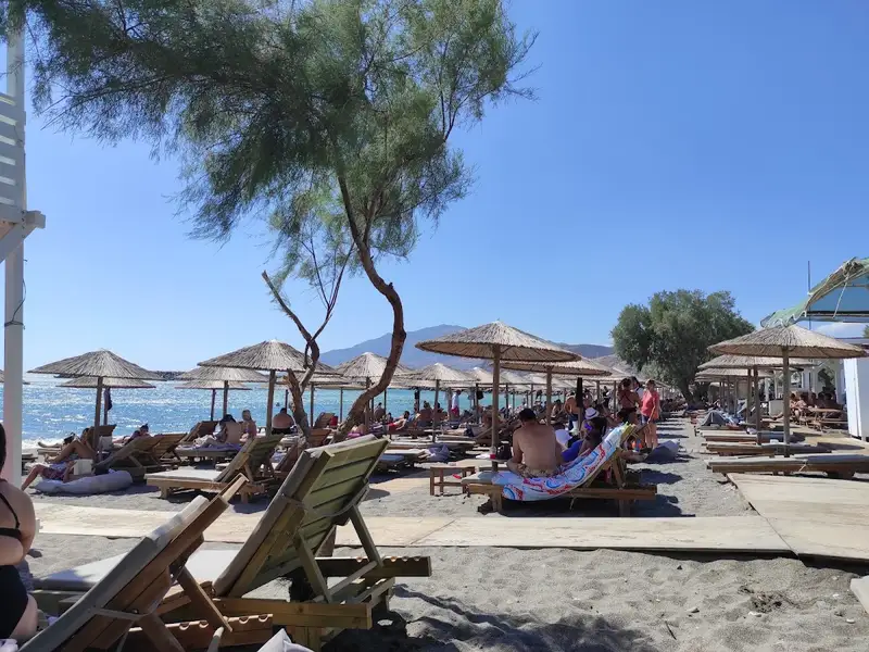
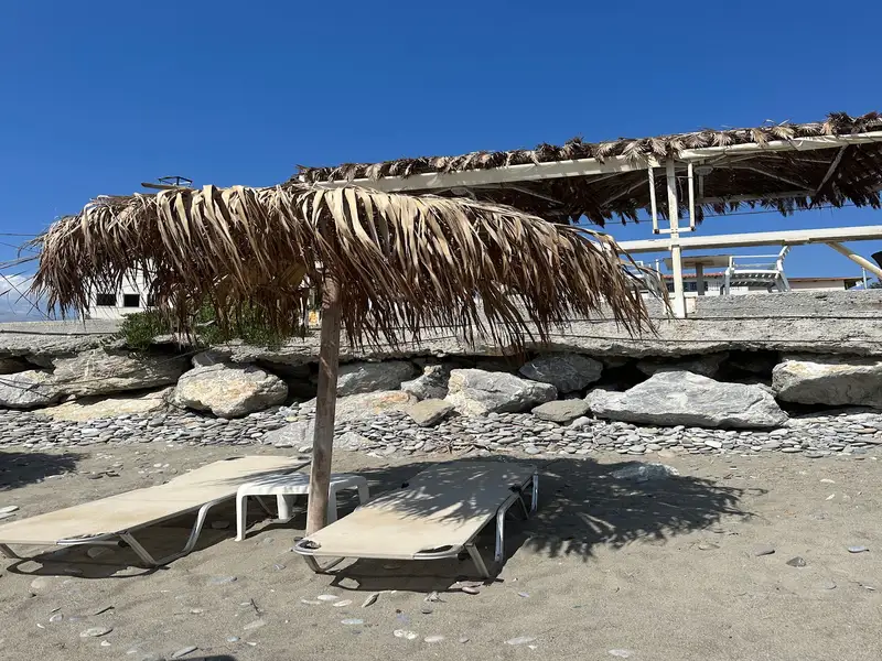
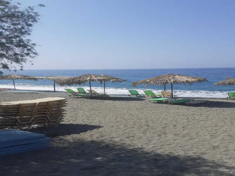
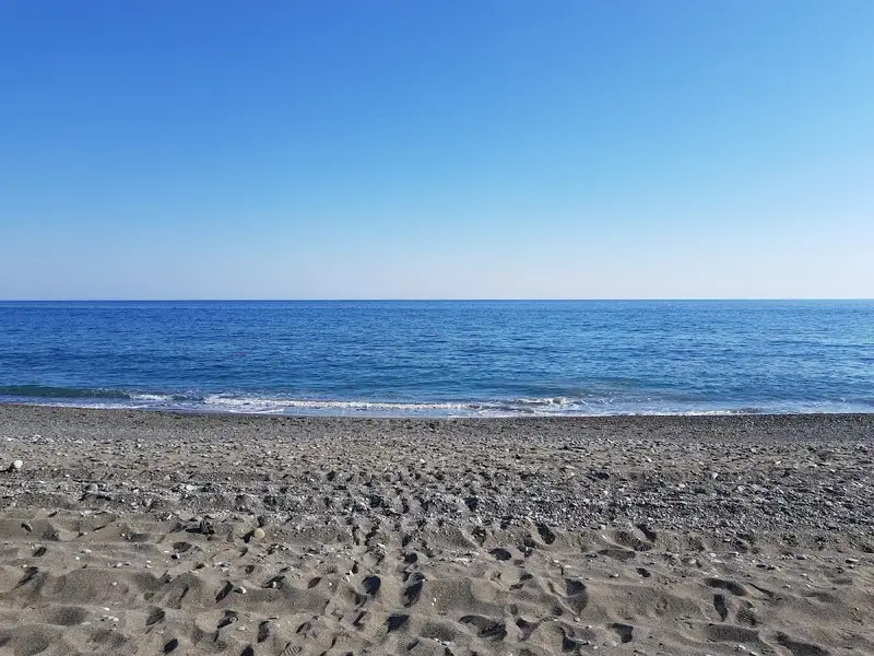
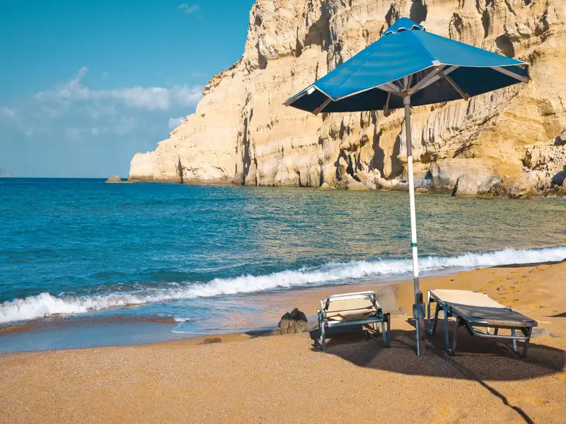
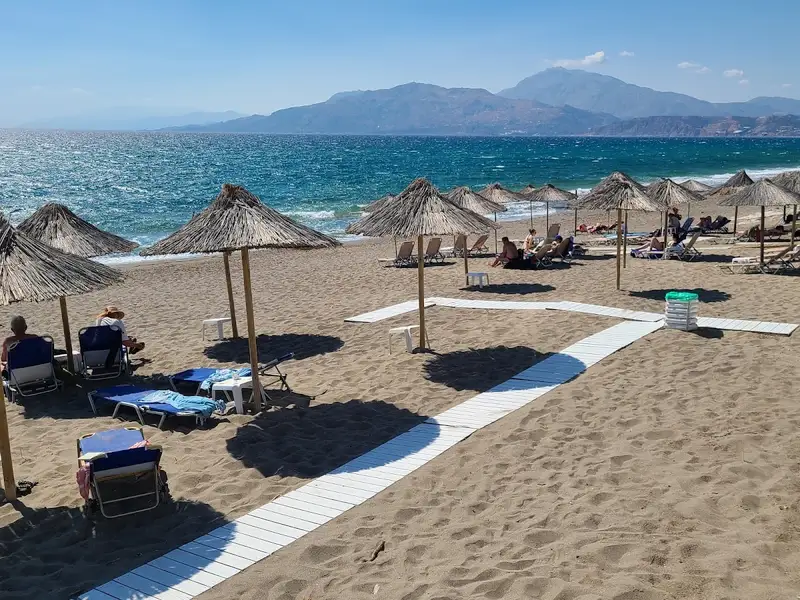
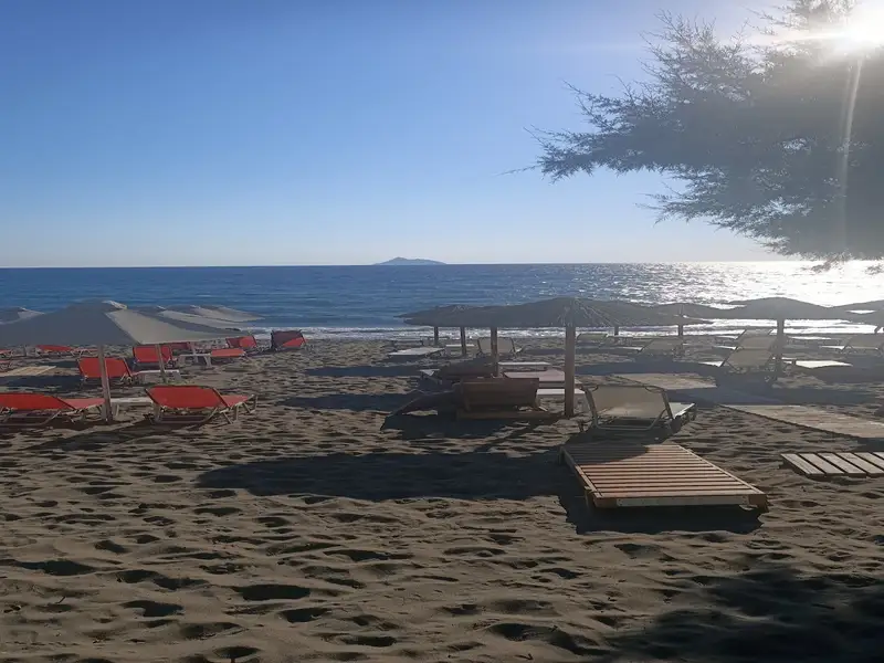
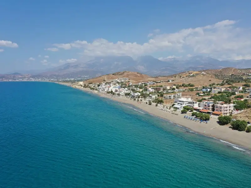
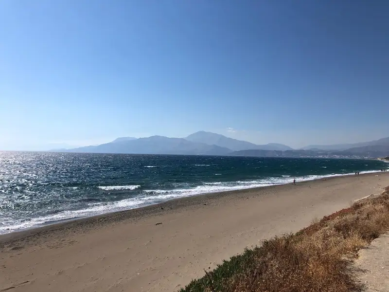
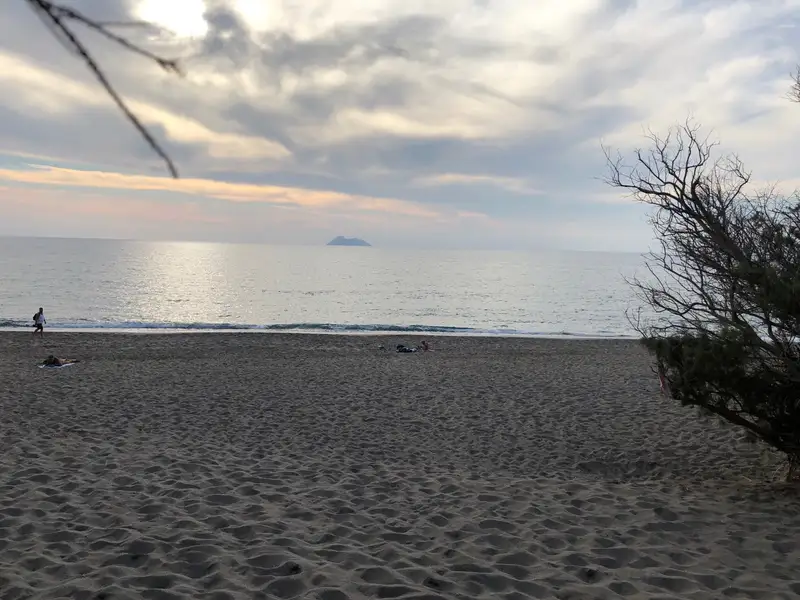
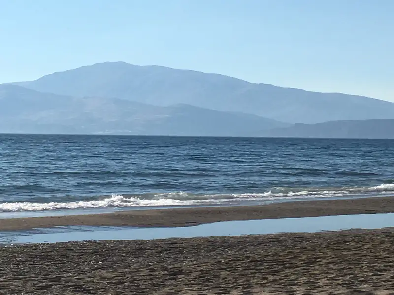
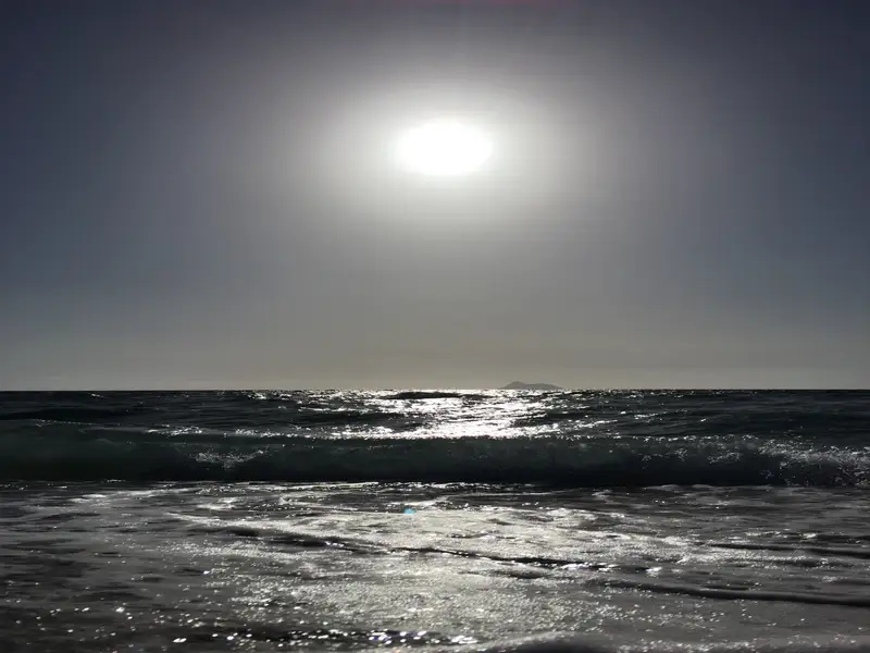
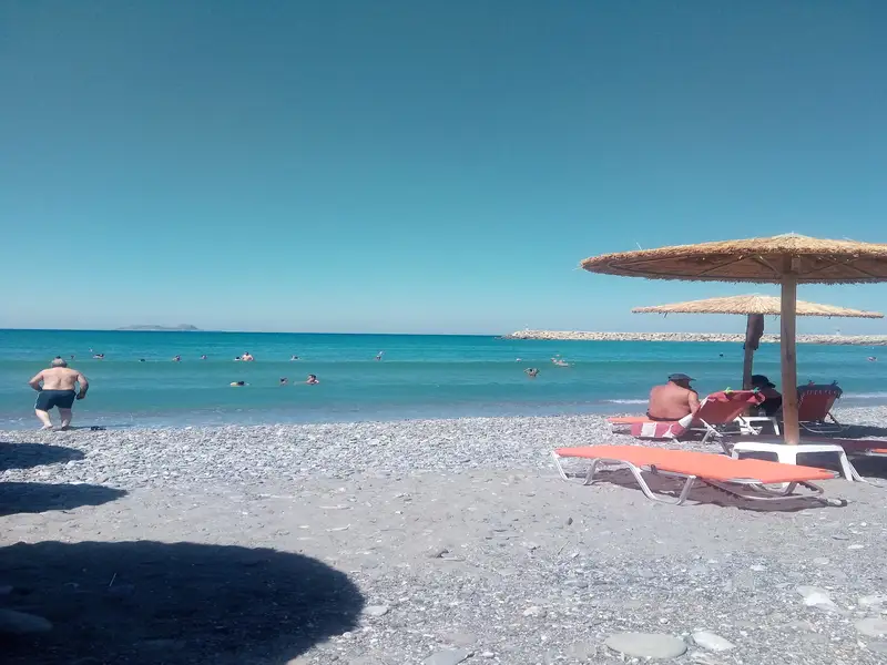
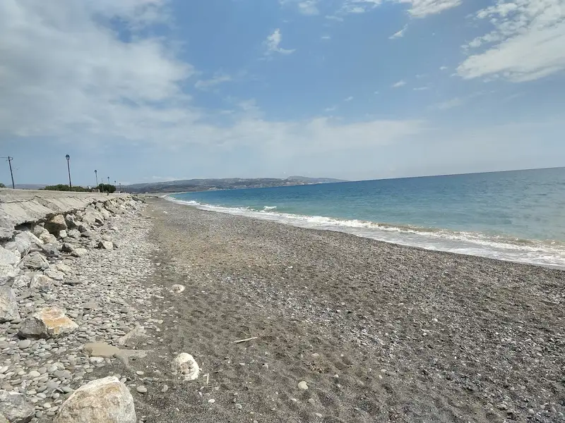
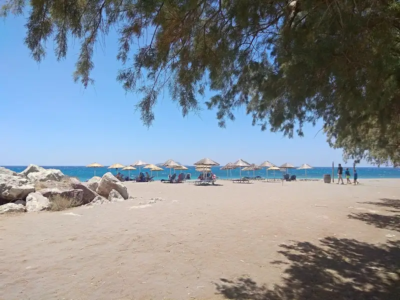
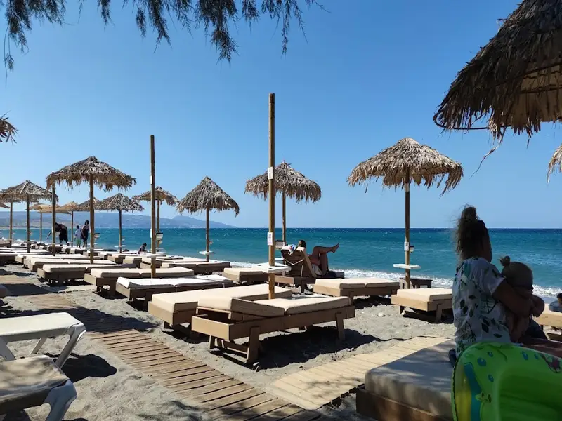
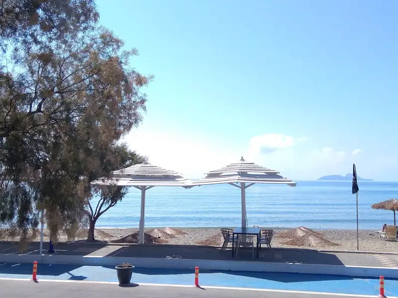
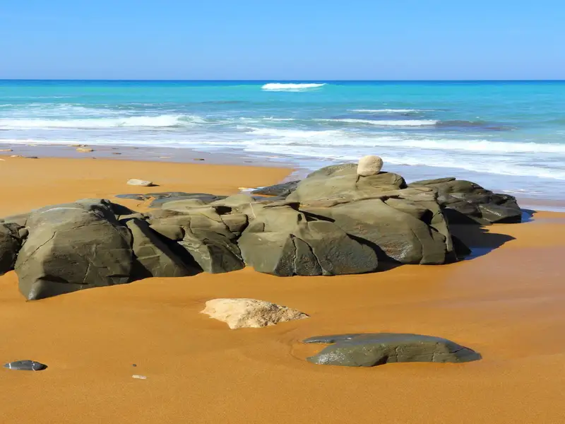
Kalamaki, a quaint seaside hamlet, is nestled between Matala and Kokkinos Pirgos, 65km southwest of Heraklion. The beach, a 2.5km stretch of the vast Messara Bay coastline, graces the village’s front. Its sandy shore is kissed by the sea, which conceals a slick, flat rock bed beneath its surface. It features large waves, usually stirred by northwest winds, making beach access challenging at times due to the rocky seabed.
The village-facing part of the beach is well-equipped with sunbeds, umbrellas, eateries, accommodation, a lifeguard, playground, and water sports. For a more isolated experience, head southeast towards Kommos beach, a favorite among nudists.
To the north, you’ll find Afratias and the Pahia Ammos beach, which features patches of rocks. Devoid of amenities, the beach does boast a small park used for hosting cultural events like concerts during summer months.
Further north lies the Timbaki military airport, now serving as a resort for Greek Air Force staff. Although the beachfront is accessible, trespassing beyond the fence is prohibited and could lead to arrest. Sometimes, parachuters and skydivers can be spotted descending from small aircraft, courtesy of a local club based at the airport. In 2008, a small plane crashed into the Kalamaki sea, with the pilot miraculously surviving the ordeal. The Tymbaki airport holds ecological significance for the Mesara plains as it’s intersected by the Geropotamos River, which flows out to the beach. This river, the area’s largest, serves as a sanctuary for hundreds of rare birds across its numerous ponds.
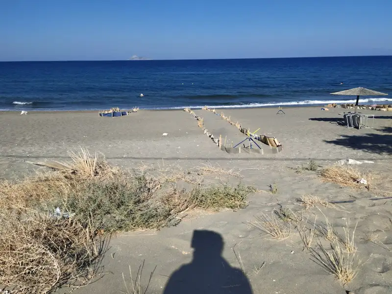
The sandy coast of Messara Bay is a protected breeding ground for the loggerhead sea turtle. To prevent nest destruction and avoid frightening these creatures, it’s best not to roam the beach’s darker areas during summer nights.
Although Kalamaki doesn’t boast a significant history due to its relatively new establishment, it’s a popular seaside resort for Kamilari locals. Some believe it once served as a small harbor for Phaestus or Gortys in ancient times, though no concrete evidence supports this claim.
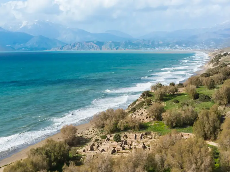
Situated 66km southwest of Heraklion, Kommos (or Komos) lies a mere 2km north of Matala and in close proximity to Pitsidia village. It stands as the southernmost and remotest section of the extensive beachfront of Messara Bay. Once serving as the port of Phaestus, the remnants of the ancient port of Kommos can still be observed on the beach. It can be reached by driving towards Matala and following a sign to Kommos near Pitsidia.
The entire beachfront of Messara is exposed to the prevalent westerly winds. Visitors should exercise caution as the seabed can be rocky in certain areas. The beach also serves as a nesting ground for the protected loggerhead sea turtles (Caretta caretta) between the months of May and September.
Potamos or Potamoserma, the northern section of Kommos, is a popular spot among naturists, dating back to when hippies frequented the area. The location is dotted with sparse tamarisk trees and devoid of buildings due to its protected archaeological status, restricting construction. Next to the archaeological site in the south, there is a developed beach equipped with amenities such as umbrellas, sun beds, a toilet, showers, a canteen and a lifeguard. Surrounding sand dunes are home to white sand lilies that mark the end of summer. Nearby Kalamaki or Pitsidia and Matala offer options for accommodation and dining.
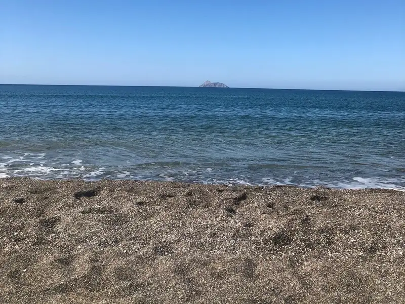
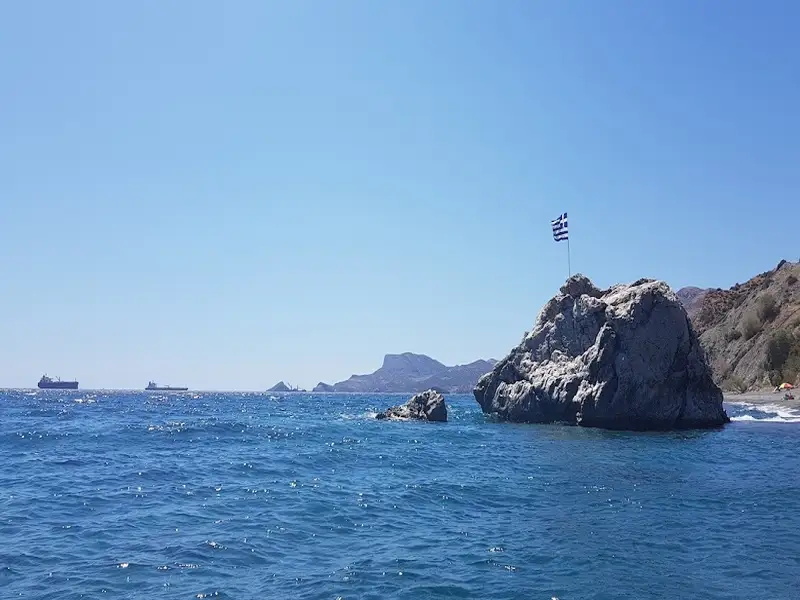
The sight of Paximadia islets during sunset is breathtaking. A large rock, known locally as Volakas, stands 300m out at sea, opposite the archaeological site. According to local lore, this rock is the tip of the boulder that the blinded Cyclops Polyphemus hurled at Odysseus’ ship to prevent his escape, following Odysseus and his crew’s escape from Polyphemus’ cave.
Kommos, the ancient port of Phaestus, was established around 200BC. However, it was subsequently destroyed by an earthquake and then rebuilt at the same location. The archaeological site of Komos, not open to the public, houses a Minoan harbour, public buildings, warehouses, oil presses, shipyards and a large courtyard. Archaeologists have uncovered a small temple, constructed on the ruins of an older one.
Kokkinos Pirgos, also known as Red Tower, resides 67km west of Heraklion, near the town of Tymbaki. Its name is derived from a tower constructed from red soil, situated at the mouth of the Geropotamos river. As the coastal village of Timbaki’s main port and a hotspot for tourism, Kokkinos Pirgos is home to numerous hotels, dining establishments, and cafes. The area’s climate is typically warm, enabling locals to cultivate fresh vegetables in greenhouses.
The village boasts a lengthy sandy beach that stretches southeast towards Kommos for several kilometres. This expansive beach is a nesting ground for loggerhead sea turtles (Carretta Carretta) during the summer months. Conservation organizations such as Archelon work to protect these sea turtles and their nests. The beach, which is susceptible to western winds, begins at Timbaki’s military airport wire fence on the east and extends to Agia Galini on the west.
The beach’s eastern portion, stretching from the port to the airport, is known as Katalyki. This well-equipped beach features amenities such as umbrellas, sunbeds, lifeguards, and water sports. A coastal road lined with cafes and restaurants runs alongside the beach, making it a popular spot for refreshments. East of Katalyki lies a sizable marsh, a key wetland in the Mesara plain, which is irrigated by the Geropotamos River.
The beach area west of the harbor is known as Makrimaliana. The beach near Kokkinos Pirgos is relatively broad, but as it extends towards Agia Galini, gravel massifs encroach upon it, narrowing the beach and in some places, eliminating it during high tide. This unorganized, remote beach may not be extraordinary, but the wind and sea-carved rock formations that flank it are certainly impressive.
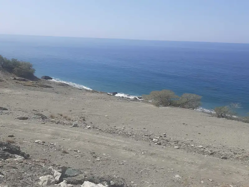
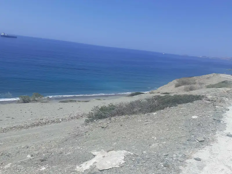
Platia Peramata, a quaint village situated 69km south of Heraklion and 7km east of both Kali Limenes and Lendas, nestles at the exit of a small, fertile valley that cuts through the rugged Asterousia Mountains. This valley begins at Antiskari village and concludes in a settlement, its rich soil used for growing early vegetables like tomatoes, cucumbers, and peppers in greenhouses due to the consistently high temperatures.
The region features numerous adjacent bays that form serene and picturesque beaches, frequented primarily by locals. At the heart of the settlement lies the small beach of Platia Peramata, known for its fine pebbles which are predominantly used to moor the locals’ boats. Despite the beach’s lack of extensive facilities, a handful of tavernas and rooms are available nearby. Tamarisk trees line the beach and are often used as camping spots. To the east of the settlement, East Platia Peramata beach, less favored by swimmers, offers another pebbly shoreline.
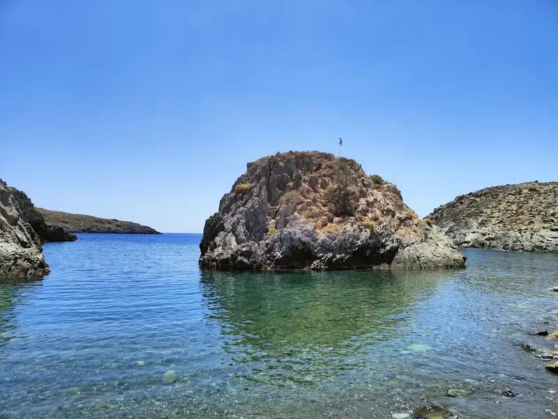


To the west of the village of Platia Peramata, you’ll discover the humble settlement known as Krigioi, with its array of unlawfully constructed homes and cottages. A brief drive along the local stream leads you to a stunning beach adorned with fine pebbles and crystal clear water. The uniqueness of Krigi lies in its numerous miniature beaches that stretch along the coast to Platia Peramata and the awe-inspiring soft limestone formations.
Overlooking Krigi is the quaint chapel of Saint Demetrius. To its west, you will find another secluded pebbly beach, Aspros Harakas, or White Rock, named for the pale rocks at its western end. However, Aspros Harakas may not appeal to everyone as it can only be reached by boat, boasts large stones and lacks shade.
Venturing further westward, you’ll stumble upon the three consecutive beaches of Kokkines Plakes, or Red Rocks. True to their name, these beaches are surrounded by reddish rocks and are primarily accessible via the sea.
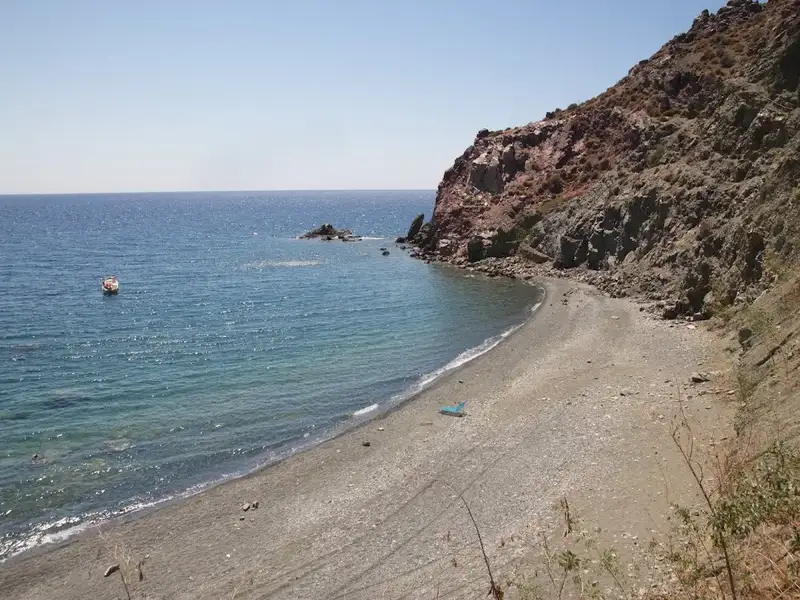
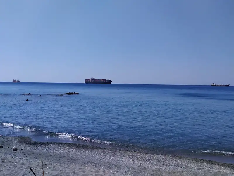
The longest beach in the region, Psili Ammos, is situated to the east of the village Platia Peramata. This secluded and stunning beach does not cater well to camping due to the lack of tree shade. Still, at the eastern extremity, one can find large white rocks known as Asproharaki, which provide shade to those fortunate enough to claim them. The beach was thrust into prominence in 2010 when a significant Russian oil tanker was stranded there during a storm. Thankfully, no one was at risk and no environmental harm was done.
Paliomandra beach
On your way to Psili Ammos from Tsigounas, you will encounter several minor beaches. The furthest east cove, reachable via a dirt road, is known as Paliomandra and is rather secluded. The beach features coarse sand and a rocky seabed, making it ideal for fishing and snorkeling.
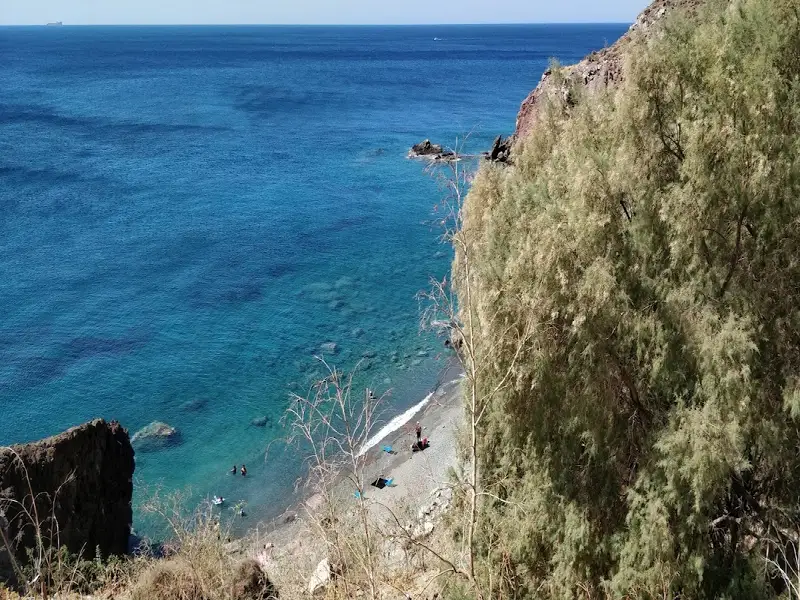
Just about 1km eastward from the Chrysostomos settlement, you’ll come across the stunning Maha beaches. The first beach, primarily used as a harbour, is rocky and unorganized. However, there are a few rooms and a tavern in close proximity, with a road that leads right to the beach. If you continue to follow the dirt pathway that runs parallel to the beach towards the east, you’ll discover another breathtaking beach after about 100m. This beach boasts fine pebbles and deep, crystal blue waters. Although there are no trees to offer shade, there’s a cave on the eastern side of the beach that provides some respite from the sun. Do note that camping is prohibited here, as indicated by the signs scattered around the area.
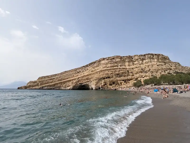
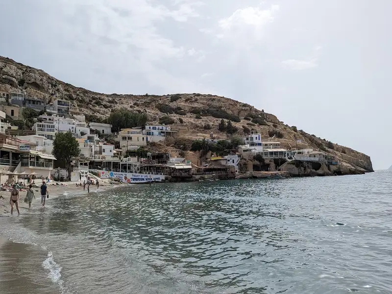
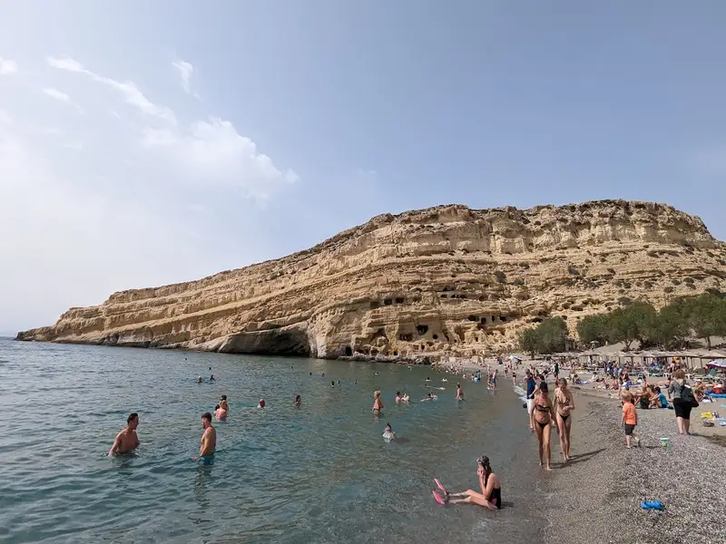
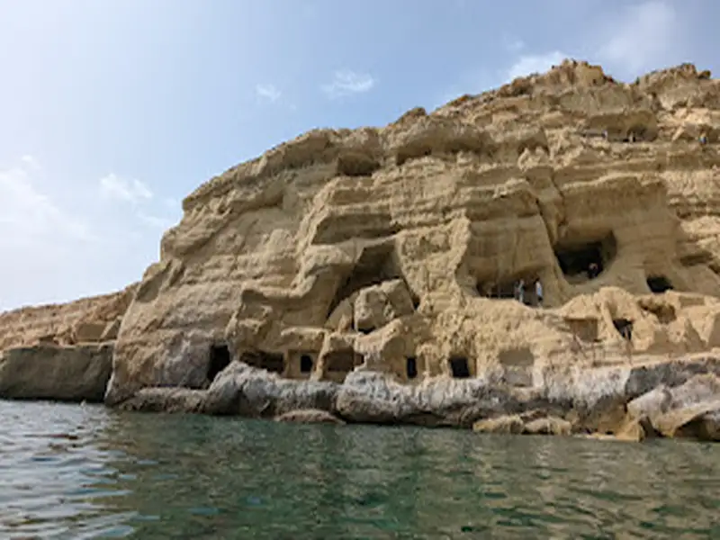
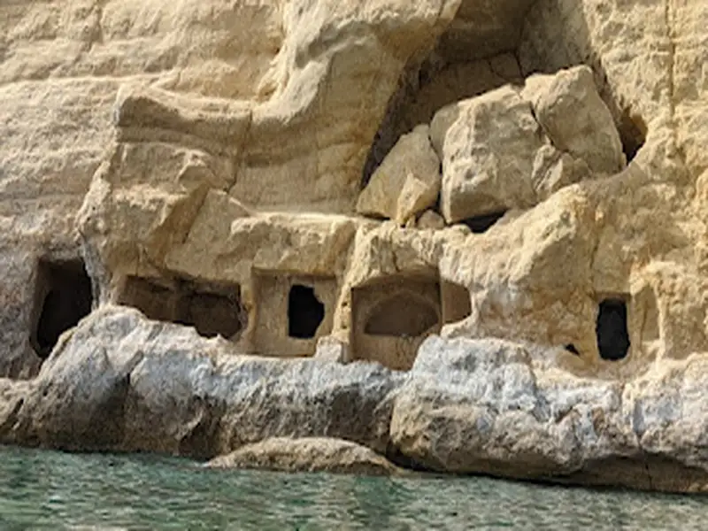
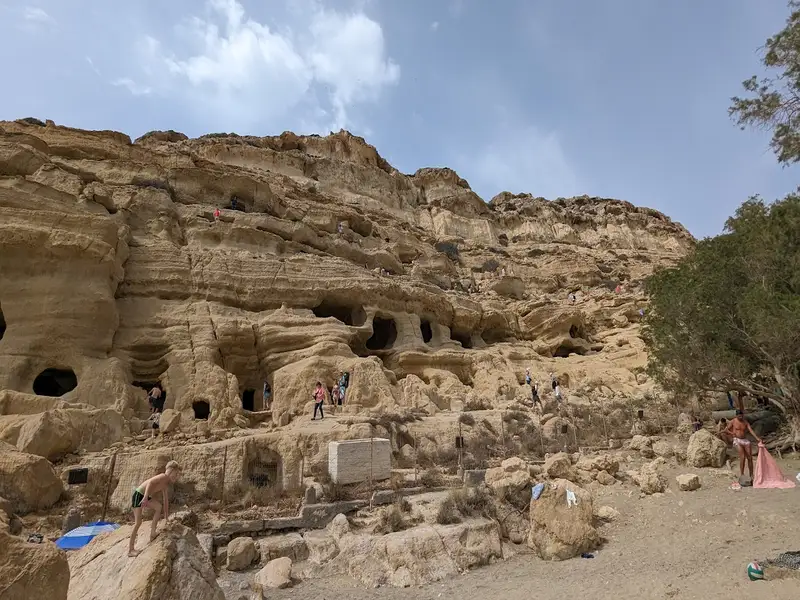
The beach of Matala is situated 68km southwest of Heraklion, where the Messara plain and Asteroussia Mountains intersect. It is one of the most frequented tourist spots in Crete and the most well-known beach in the southern region of the Heraklion prefecture. Matala is notable for its rock-carved caves and its association with the hippie culture of the 1970s. It lies in close proximity to Phaestus, the second largest palace of the Minoan civilization, having once served as its port. During the era of the Romans, Matala transformed into a port for Gortyn.
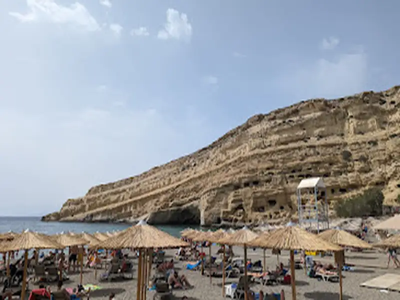
Nestled at the end of a small valley, Matala overlooks an enclosed bay with a picturesque view of the Paximadia islands. The beach spans 300m and features beautiful sandy shores, fine gravel, and crystal-clear deep waters. However, parts of the seabed, particularly the central area, are quite rocky and waves are common due to frequent westerly winds. A large cave can be found on the northern part of the beach, from which some thrill-seekers dive.
Matala beach is well-equipped with amenities such as umbrellas, restrooms, showers, lifeguards, first aid facilities, beach volleyball courts, snack bars, water sports, excursion boats, and a camping site. The surrounding area of Matala offers a range of accommodation, dining, and entertainment options. The beach is largely shaded by tamarisk trees, providing a respite from the sun. Come evening, the beach bars are brimming with people, both locals and tourists. The internationally acclaimed Matala Festival draws large crowds every June.

Chrisostomos, a quaint seaside hamlet, is situated 75km to the south of Heraklion and 3km to the east of Kali Limenes. This small community features a few local taverns, a mini market, and available lodging. It takes its name from the decaying church of Saint John Chrisostomos located on the eastern side of the settlement. Chrisostomos is established on the ancient city of Lassea’s site, which Saint Paul visited during his time on Crete. Lassea served as a port for the Roman city Gortys, the then capital of Crete and Libya in the Roman era, and was rich in copper resources.
Chrisostomos (Lassea) beach, in front of the village, is a picturesque spot featuring coarse sand and shelter from westerly winds. It’s not commercialized, but is conveniently close to the village. On the beach’s western edge, a rocky outcrop extends towards the small islet of Trafos, marking the ancient port of Lassea’s old pier. These rocks have been there since the 1960s, when they were used to construct the Oil Tanks of Kali Limenes. The ancient town of Lasea’s remnants are still visible on the beach and the islet. The beach extends beyond Trafos to the west, forming a separate beach known as Segrezo Ryaki that faces westward. This beach is proximate to a Roman cemetery and is secluded, ideal for nudists, but has more rocks than the main beach. At the westernmost point, there’s a freshwater spring.
To get here from Kali Limenes, take the paved road that begins 1km east of Kali Limenes and head east towards Platia Peramata. After about 2km, you will encounter the village of Chrysostomos on your right.
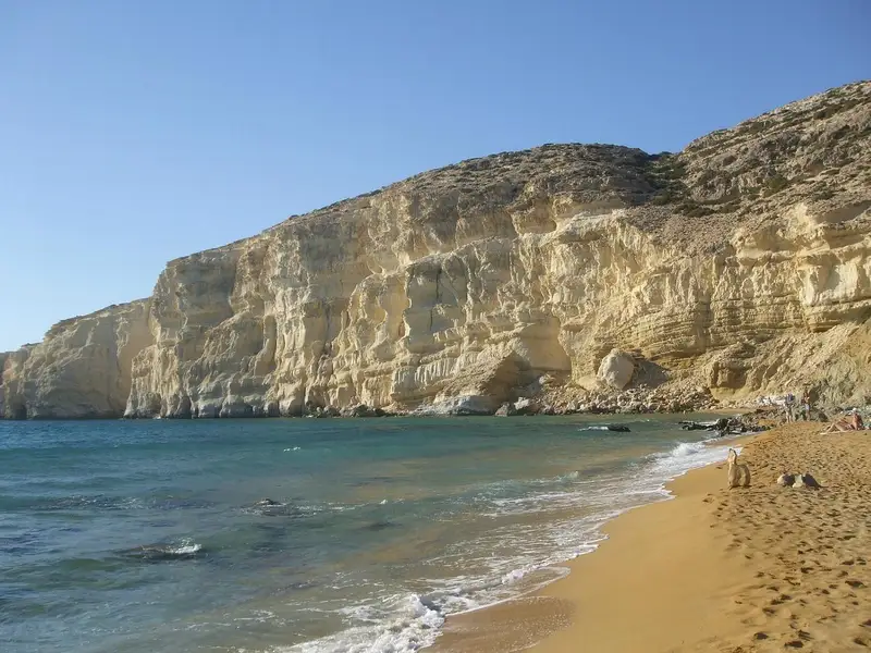
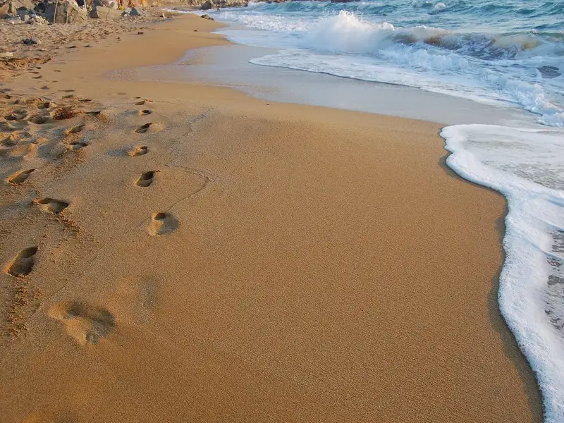
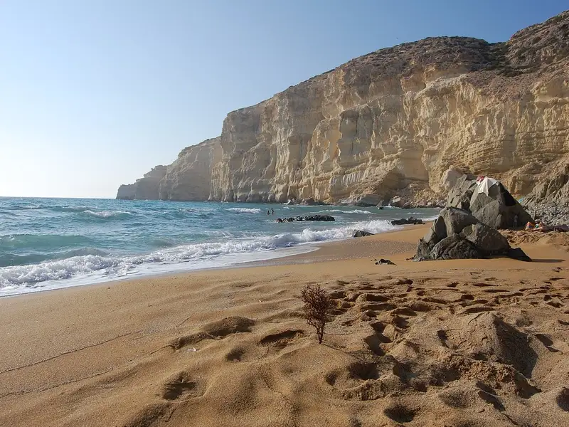
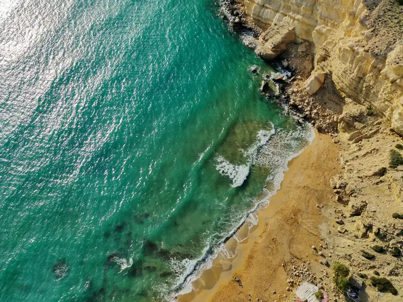
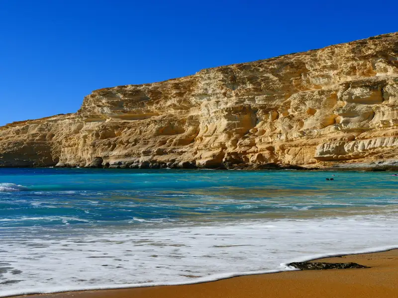
Red Beach, known in Greek as Kokkini Ammos, is a red-sand beach on the south coast of Crete, about 800 metres south of Matala and 68 kilometres southwest of Heraklion. You reach it on foot over Kastri hill or by boat from Matala harbour. The rust-red sand comes from the local geology and sets off a blue-green sea, which is what makes the beach so striking.
The beach is remote and unorganised. It has no road access, so it stays quiet even in high season, and it is open to the western winds that blow across this part of the coast.
Most visitors walk from Matala on a marked trail that crosses Kastri hill north of the village. The walk takes about 15 to 25 minutes one way and involves some rock scrambling at the start and a steep descent near the end, so wear proper walking shoes rather than sandals. The route is clear but rough underfoot.
Follow these steps from Matala:
You can take a boat from Matala harbour for a small fee of around 5 euros each way if you would rather not hike. A car makes the wider Matala area much easier to reach, since the beach sits on the exposed south coast with no road nearby, so you can compare options for a hire car in Crete.
Red Beach has very few facilities. There is a simple stone-wall coffee shop that opens occasionally for food and drinks, plus a small number of umbrellas that fill up quickly. The only natural shade comes from a few tamarisk trees near the canteen, so it is worth bringing your own mat, umbrella, water, and snacks.
You can swim here, but the beach faces the prevailing western winds and the sea is often wavy, so take care on windier days. The reward for the effort is a quiet bay with panoramic views, clear water, and wide sunset views over the sea.
Red Beach was a favourite of hippies in the 1960s and 1970s, and enthusiasts have kept visiting ever since. The northern part of the beach is known as a nudist-friendly area and has an international reputation for it. The beach and its surroundings are protected under the Natura 2000 programme because of their ecological value.
At the northern end, a long limestone formation resembles the rock of Matala. It is decorated with carvings of Minoan and Egyptian sea figures made by Gerard, a Belgian admirer of Matala, and these sculptures have become part of the beach’s character.
Between Matala and Red Beach stands a large rock called Theosini, which gives wide views over Messara Bay. The sea has eroded it into a marine cave known as Kouroupi, reachable only by boat. The cave shelters endangered Mediterranean monk seals and several species of wild pigeon.
Walk the marked trail from the northern edge of Matala over Kastri hill, which takes about 15 to 25 minutes and includes some rock scrambling and a steep final descent. Alternatively, take a boat from Matala harbour for around 5 euros each way.
Yes, you can swim at Red Beach, but it faces the western winds and the sea is often wavy, so swim with care on windy days. Calmer conditions give clear blue-green water.
Red Beach rewards the short hike with rust-red sand, clear water, panoramic views, and quiet sunsets. Its limestone carvings and protected setting make it more than an ordinary swim stop.
Yes. The northern part of Red Beach is well known as a nudist-friendly area and has an international reputation for it.
Facilities are minimal: an occasional stone-wall coffee shop and a few umbrellas. Bring your own mat, umbrella, water, and food, since the only natural shade comes from a few tamarisk trees.
No. Red Beach has rust-red sand from the local rock, not pink sand. The pink-tinted sand Crete is famous for is at Elafonisi, in the southwest of the island.
No results available
No results available
© All rights reserved. Crete Locals