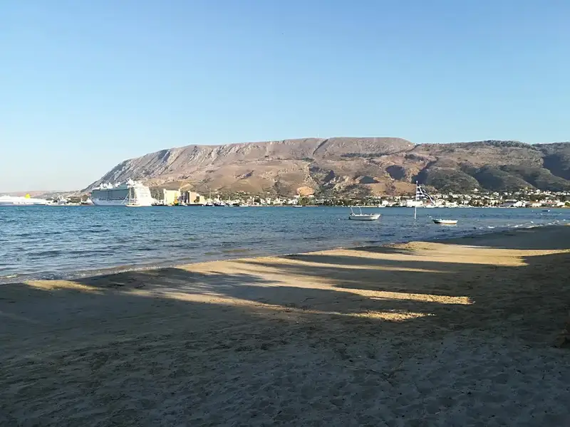
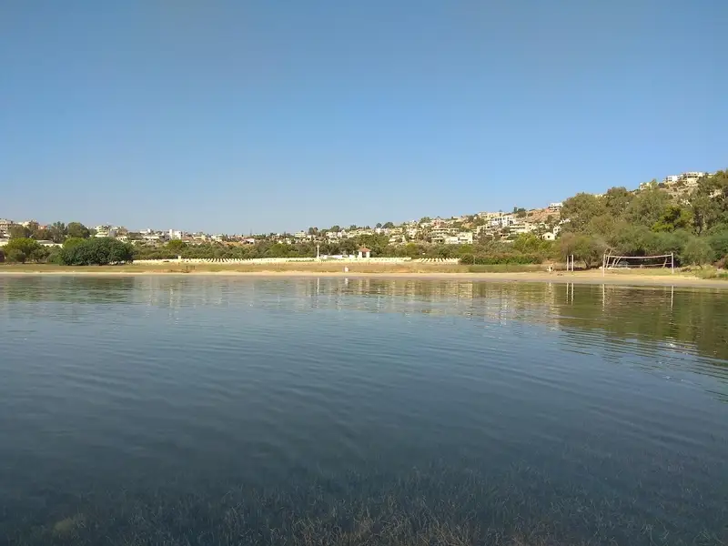
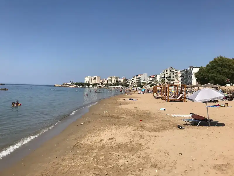
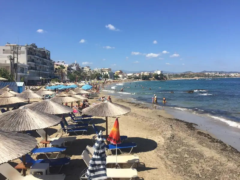
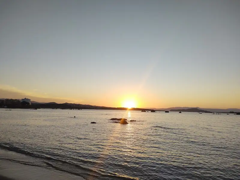
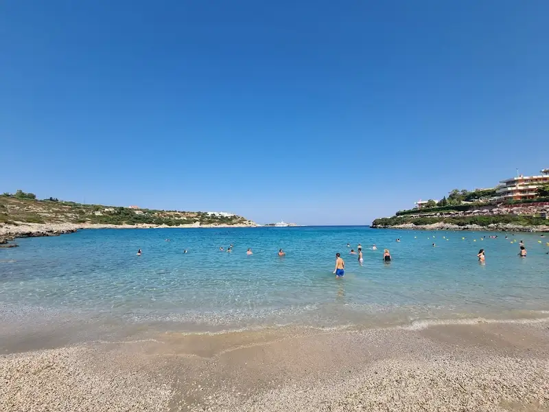
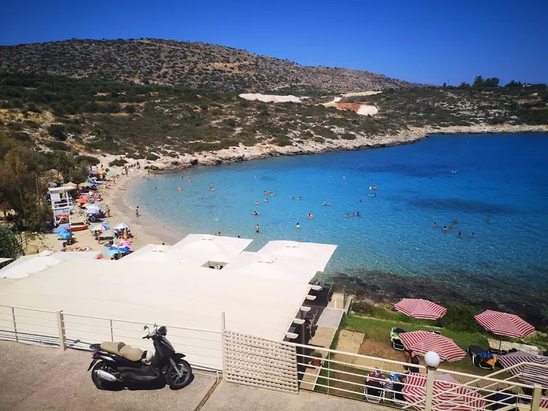
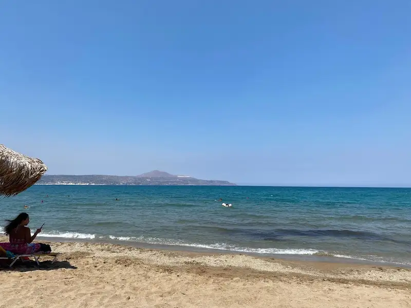
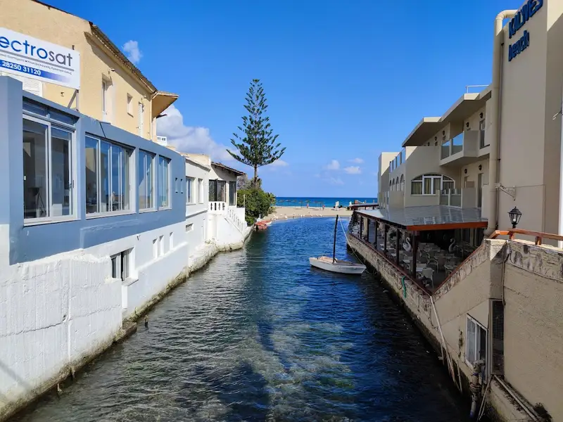
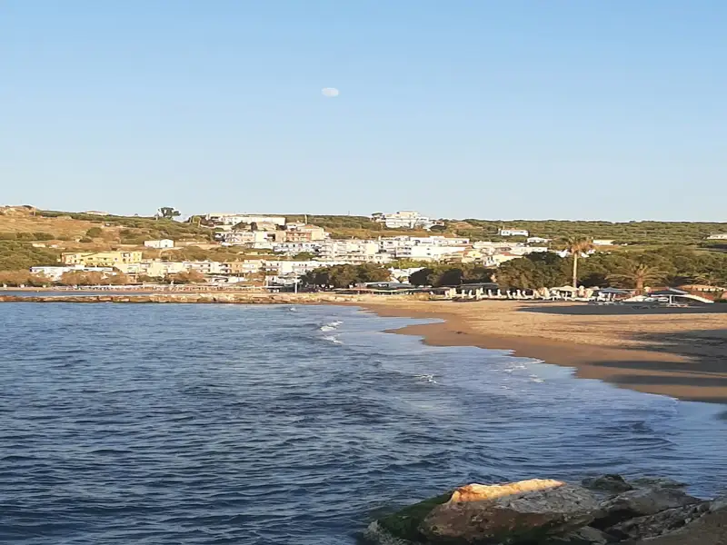
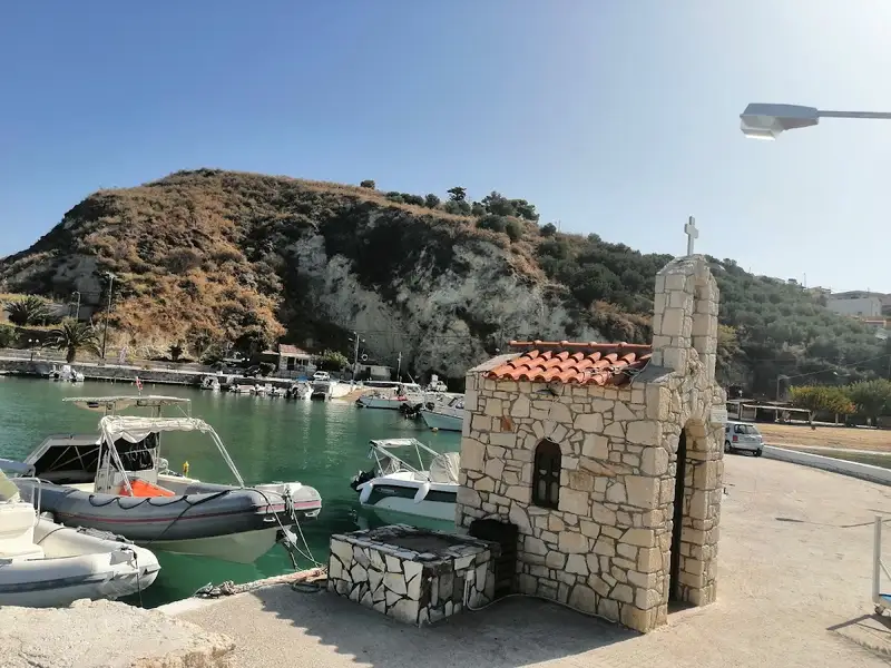
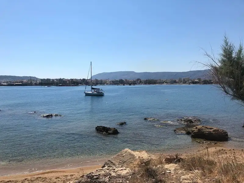
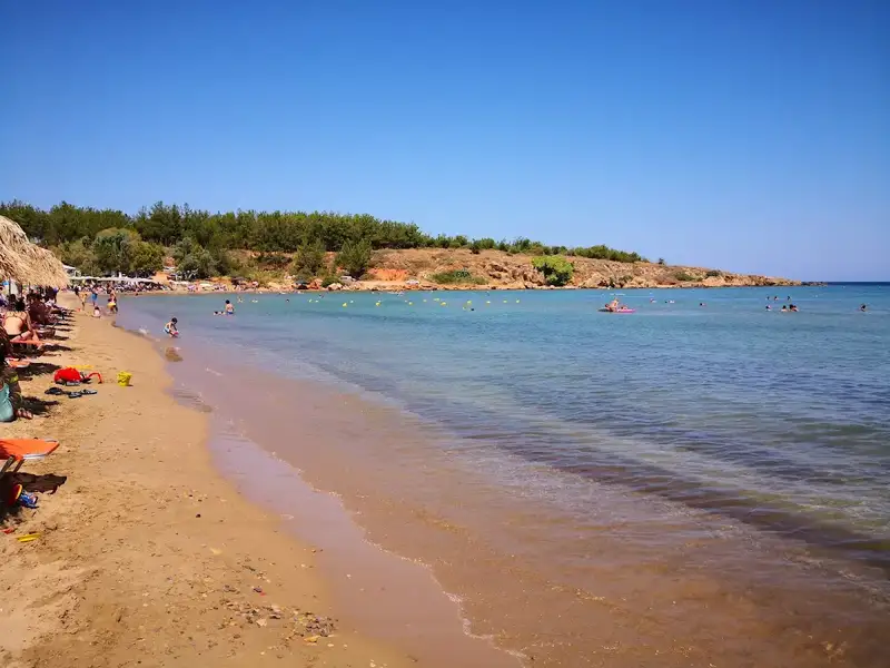
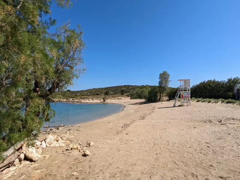
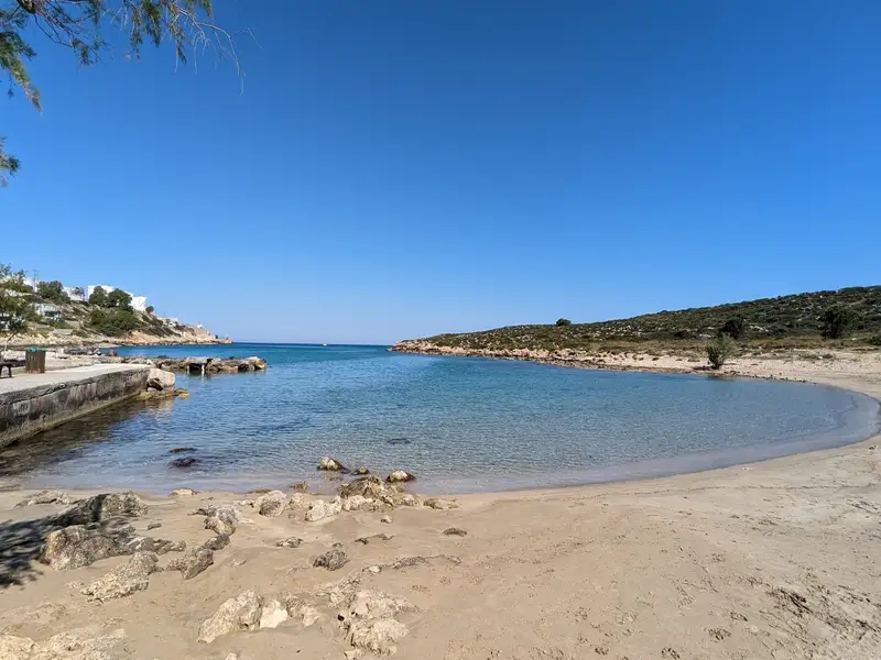
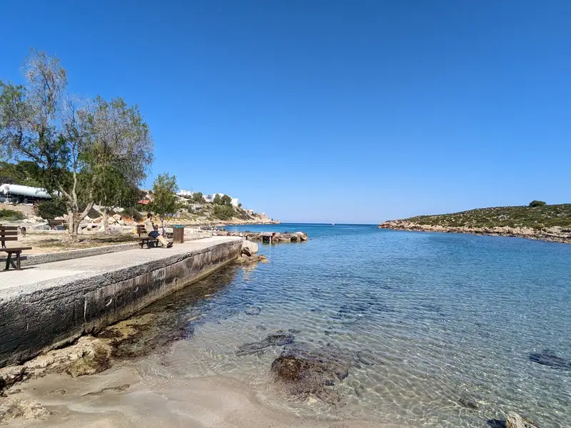
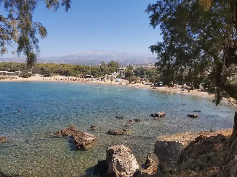
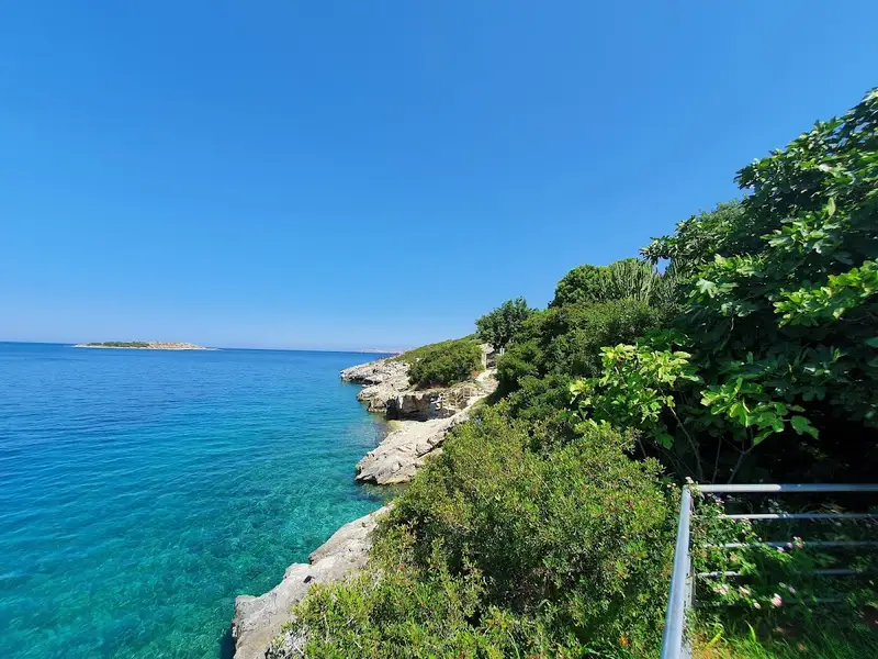
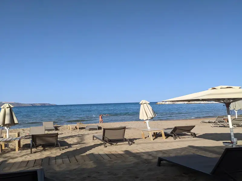
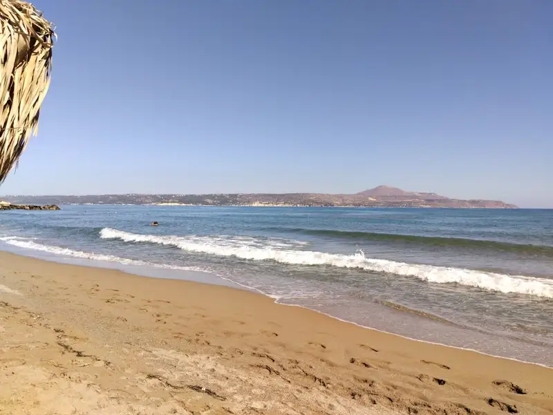
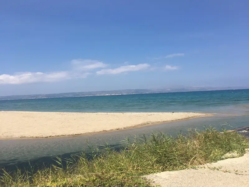
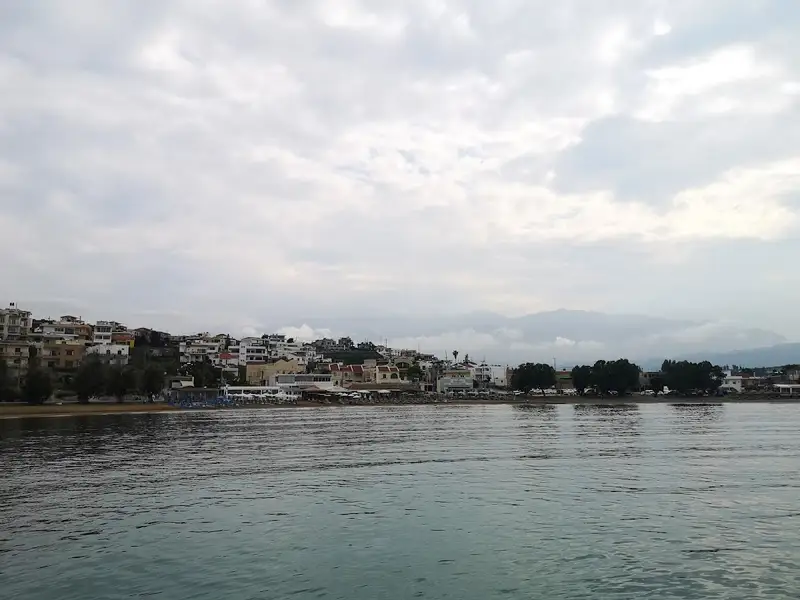
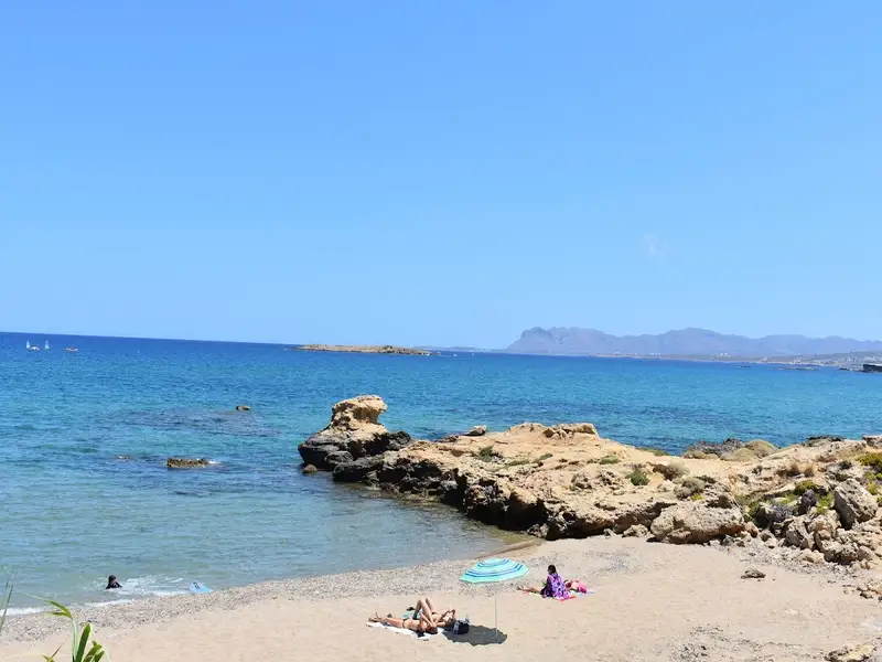
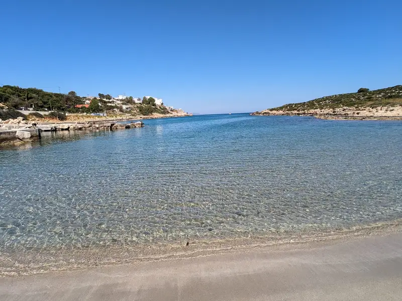
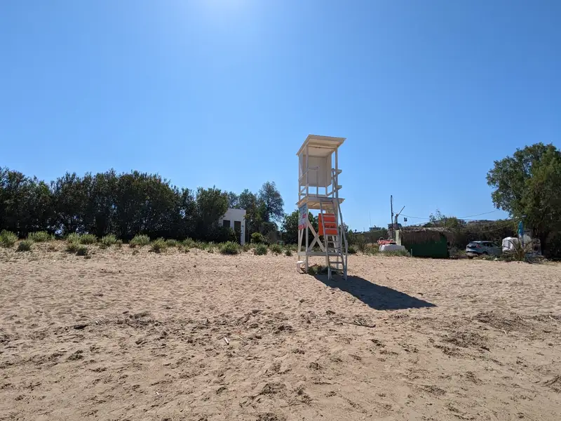
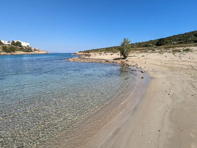
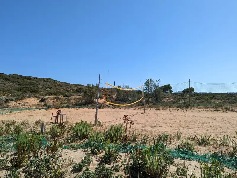
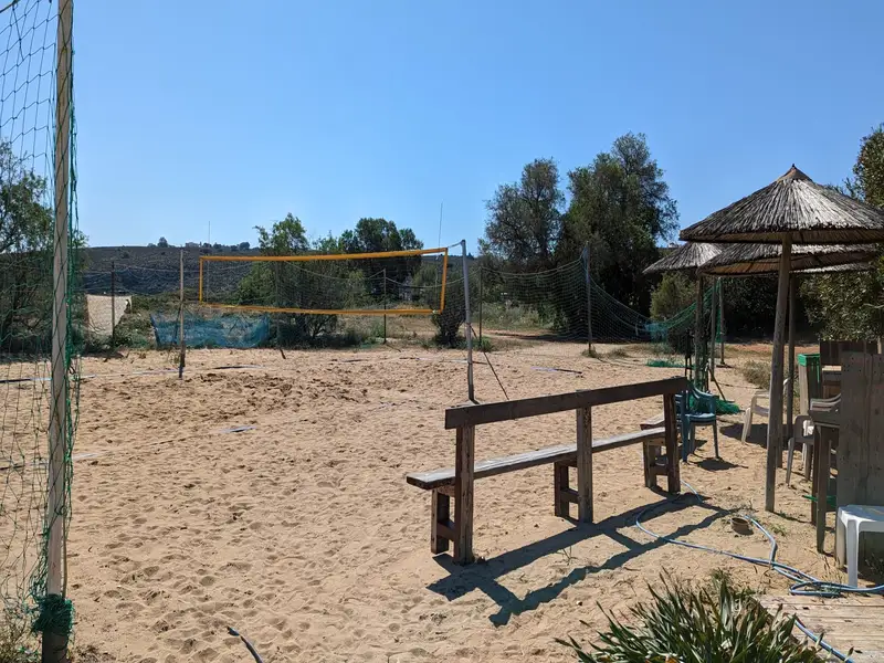
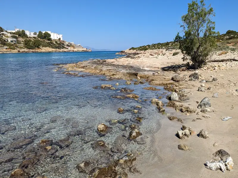
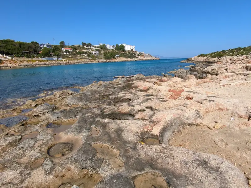
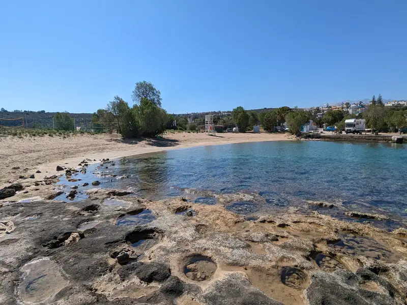
Vlites beach, a well-sheltered spot situated in the grand Souda bay, lies about 5 km to the east of Chania city and holds the title of the longest beach in the bay. This expansive beach takes shape north of the Moronis River’s mouth, extending northwards to the Souda Bay War Cemetery.
The sandy seashore is ideal for kids due to its typically tranquil state and shallow waters. Previously, its closeness to both the Souda Naval Base and Souda’s commercial port led many locals to avoid swimming in its waters. However, chemical analysis has confirmed the water’s cleanliness, assuring that swimming at Vlites beach is entirely safe.
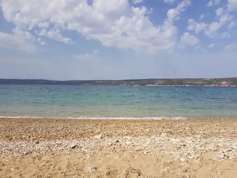
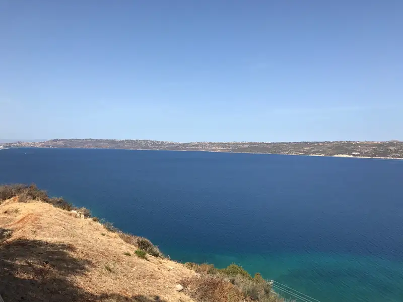
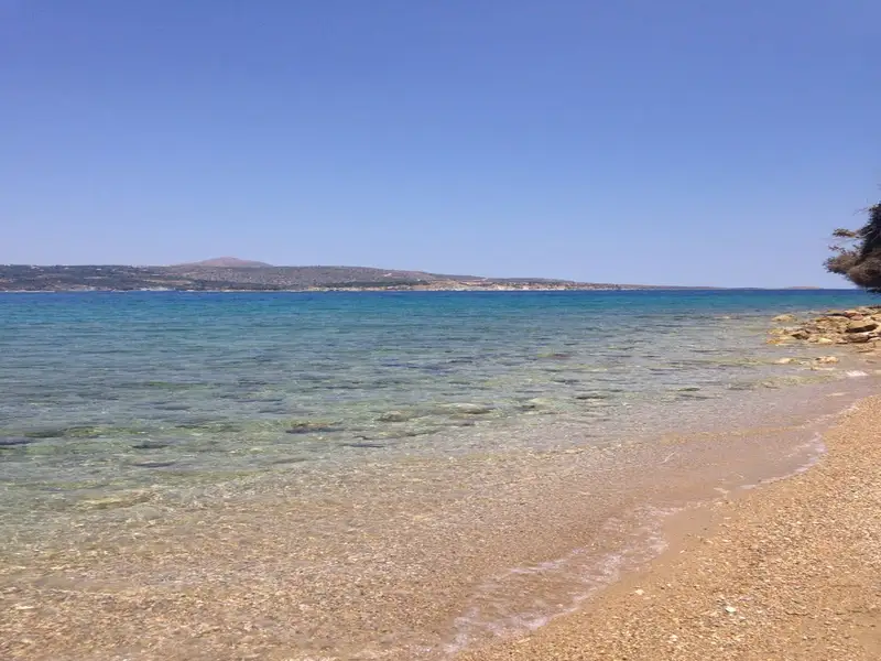
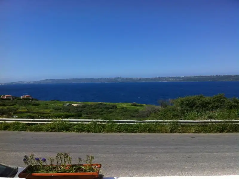
The village of Kalami is situated 15km to the east of Chania city, nestled on the southern shore of Souda Bay and in close proximity to Megala Chorafia village. It boasts a breathtaking panorama of the bay and Souda fort. Moreover, it’s near the ancient city of Aptera and the Turkish forts of Intzedin and Aptera.
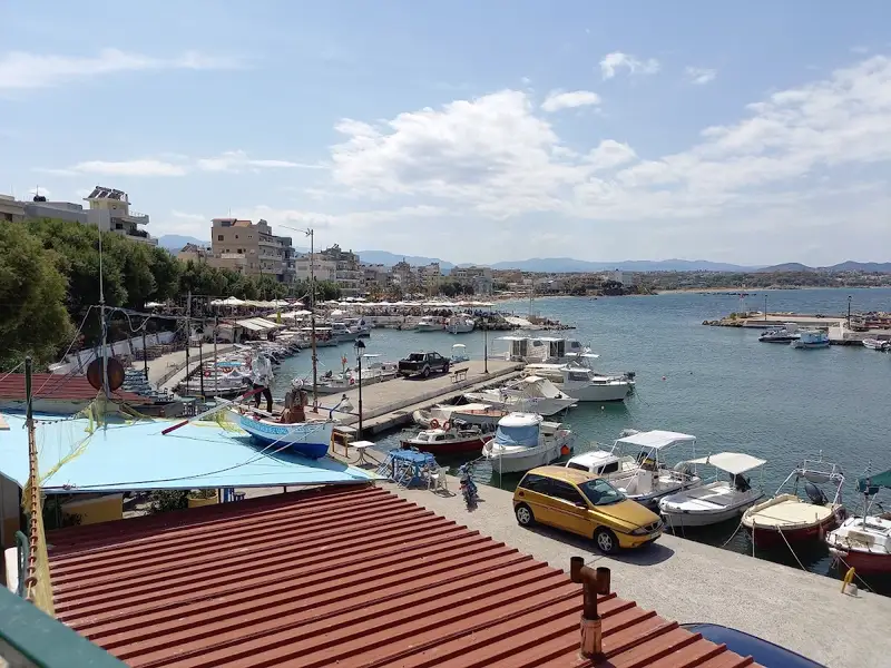
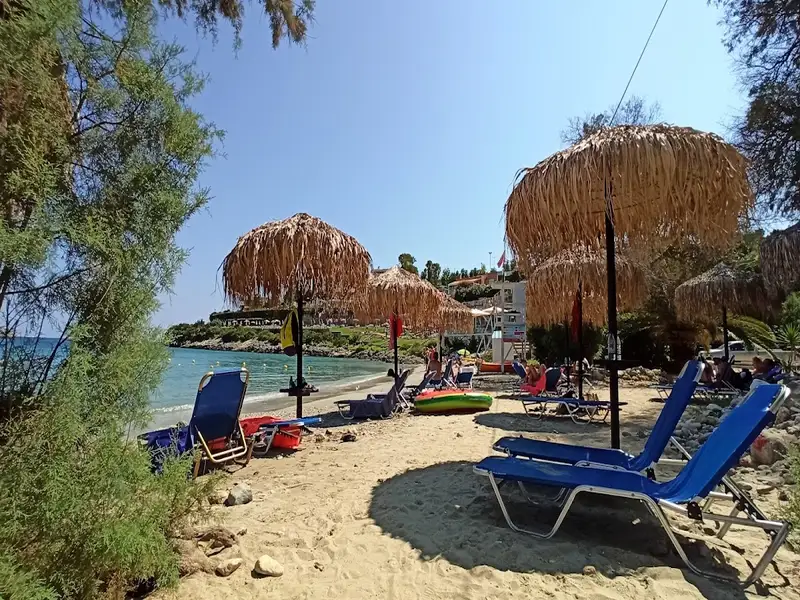
A mere 500m north of the village, a delightful beach adorned with rounded pebbles and deep water is found. At the beach’s east end, there’s a small harbour housing various boats. The beach is a favourite spot among the locals, although it’s yet to be fully organized. There are a handful of umbrellas and tamarisk trees scattered about. The village and the surrounding region offer a few accommodation and dining options.
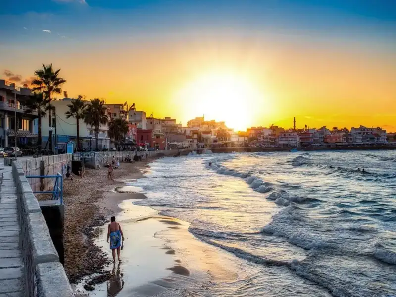
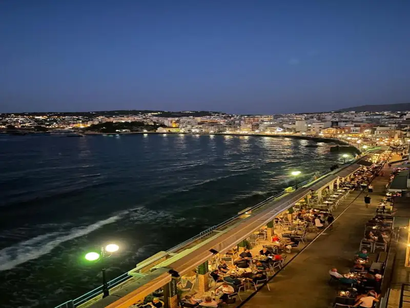
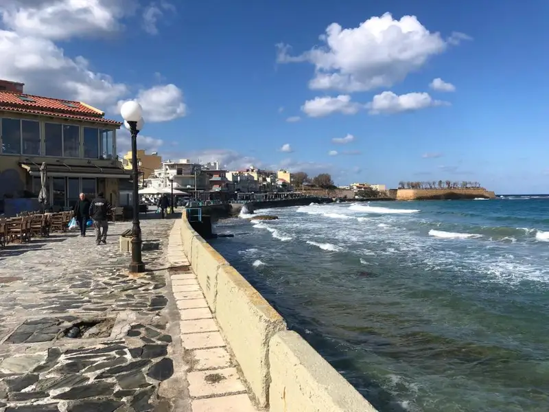
Koum Kapi is a roughly 1km strip of sand and a cafe and bar district on the eastern edge of Chania’s old town, just beyond the Venetian port. It is best known for its long coastal street lined with cafes and nightclubs rather than for classic beach days, and it stays unorganized, with no sunbed or umbrella setup. People do swim on the sandy east side, though many locals still hold back after years when swimming here was banned. Come for a seafront coffee, a sunset drink, and an easy walk from the old town; treat the swim as a bonus rather than the reason to visit.
Koum Kapi sits at the eastern edge of the scenic port of Chania, directly in front of the historical Bedouin district. The area was once home to African economic migrants who lived in rush-made huts during the Ottoman period, having first arrived on the island as slaves. None of those huts remain today. The only visible structures now are the buildings along a long coastal street lined with cafes and nightclubs.
The name comes from the Turkish phrase Kum Kapisi, meaning the Gate of Sand. This was a gate on the Venetian Walls that stood next to the sandy beach, and the district still carries that name. Backed by the old town and open to the sea, Koum Kapi reads more as a lively urban waterfront than a resort beach.
The heart of Koum Kapi is its seafront promenade. A long coastal street runs beside the water, lined with cafes and nightclubs, and this is where most visitors spend their time. It works through the whole day, from morning coffee to late-night drinks, with the sea and the old-town backdrop in view.
The strip sits within easy reach of the Venetian harbour and the old town, so it pairs naturally with a wider evening out. Browse guided walks, tours, and other bookable options to build a full day around the waterfront on the Crete Locals list of things to do in Chania and across the island.
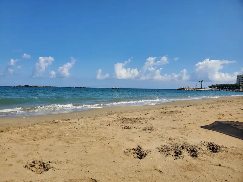
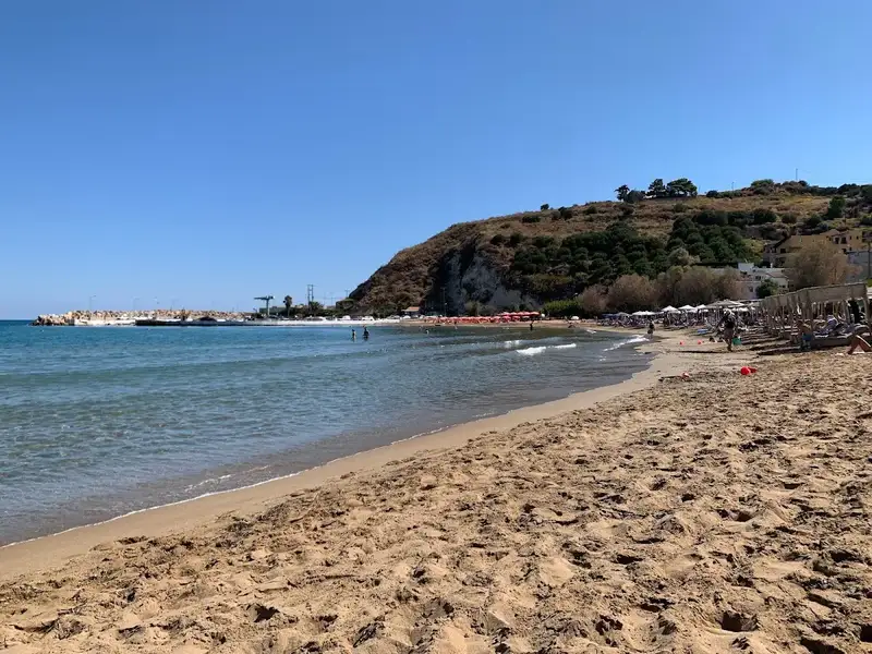
Koum Kapi stretches for about 1km to the east, running beneath a pedestrian road. To the west, the sea meets the road’s wall with no beach in between, so there is little room there. On the east side, a strip of sandy beach forms, and this is where most people swim. Further east, a beautiful cove takes shape, though locals still tend to avoid swimming in it.
The sand is soft, the water reads blue, and the shallows stay shallow close to shore, with a sea surface that is usually calm. In earlier years Koum Kapi was a popular swimming spot in Chania, but declining seawater quality led to a swimming ban. Recent upgrades to the city’s biological cleaning infrastructure have improved the water, and the city’s Water Supply and Sewerage Authority considers it safe for swimming again. Even so, the beach stays unorganized and is still not fully trusted by many locals, so it is sensible to check conditions on the day before you get in.
Koum Kapi lies within the city of Chania, on a paved road at the eastern edge of the old town, which makes it one of the easier spots to reach on foot from the centre. Bus services run to the area, and the paved-road access means you can also drive in.
There is a parking area near the beach, but it fills up and gets crowded in peak season, so arriving early helps. Compare rental options through Crete Locals car rental in Crete when you want the freedom to move between beaches and villages across the wider region.
Koum Kapi fits travellers staying in or near Chania old town who want a seafront base for coffee, food, and drinks without leaving the city. It is family friendly, with shallow, usually calm water on the east-side sand, and it suits anyone who values atmosphere and walkability over a fully organized beach.
It is a weaker choice if you want sunbeds, umbrellas, and beach services, or a long stretch of open sand. For a more conventional swim close to town, the sandy bays just west of the harbour are a better match than Koum Kapi.
A short way east, in the Halepa suburb of Chania beside the Agia Kyriaki chapel and beach, you will find Kouloura, a small rocky pond. It serves as a favoured natural pool among Halepa residents, many of whom have their own story about the place.
Koum Kapi also sits close to some of the city’s landmarks, including the Venetian Harbour, the Archaeological Museum of Chania, and the Municipal Market of Chania. When you are ready to swim somewhere more open, nearby options include Lazaretta islet, Vlites beach, Chrissi Akti beach, and the sandy Nea Chora beach just west of the port. You can plan a wider coastal route from the full Crete Locals guide to beaches in Crete.
Koum Kapi beach is in the city of Chania, on the island of Crete, Greece, at the eastern edge of the old town in front of the historical Bedouin district.
Yes, Koum Kapi beach is suitable for swimming, and the city’s Water Supply and Sewerage Authority considers the water safe after infrastructure upgrades. It is still recommended to check the water conditions before entering the sea.
The beach has sand, the water colour is blue, the water near shore is shallow, and the surface of the sea is usually calm.
Visitors can swim on the east-side sandy strip and enjoy the several cafes and restaurants along the coastal street.
Koum Kapi beach is unorganized, so it has no sunbeds or umbrellas, but there are accommodation options and food and water available nearby.
The beach is reached by bus services and by a paved road, and there is a parking area nearby that can get crowded in peak season, so it helps to arrive early.
Yes, nearby attractions include the Venetian Harbour, the Archaeological Museum of Chania, and the Municipal Market of Chania.
Nea Chora, a picturesque sandy beach, lies just a kilometer west of Chania city center along Akti Papanikoli Street, opposite the Lazaretta islet. A short 15-minute stroll from Chania’s old harbor, this beach boasts a well-maintained main area with several facilities at hand. While mostly sandy, Nea Chora also features rocky patches. It’s the perfect spot for those who prefer to stay nearby the city center. East of the beach, you can still spot the old soap factory’s towering chimney and the former sanatorium of Chania. Nea Chora is a favorite among locals for its seafood taverns, but there are also plenty of restaurants, snack bars, and cafes to choose from. Every summer, the beach hosts the “Sardine Festival”, complete with traditional music, dancing, and free fish for attendees.
Kladissos beach
Further along the river Kladisos, a second beach unfolds all the way up to Aptera beach. Kladisos beach is a lengthy sandy bay, interspersed with pebbly areas. Despite its proximity to Chania and its appealing beauty, the beach remains relatively secluded and unspoiled. The simplest way to access this beach is by crossing the Kladisos river via the pedestrian bridge.
The coastal retreat of Loutraki can be found 16km to the east of the city of Chania, nestled near the American military base in Souda. Loutraki, along with the nearby Marathi, are the two primary tourist hotspots in the eastern region of Akrotiri.
Loutraki boasts a tranquil beach with fine, soft sand and crystal clear, shallow waters, making it an ideal spot for children. The beach is well-maintained and equipped with all the standard tourist facilities, all under the cool shade provided by the trees along the beach. Visitors can hire umbrellas, dine in local taverns, rent rooms for their stay, and partake in a variety of water sports.
Additionally, there is a large parking area available for visitors, which is shaded by tall eucalyptus trees.
The coastal resort of Kalives is situated 19km west of Chania, along the southern edge of Souda Bay. This charming village is nestled in a verdant valley where several rivers meander. Its name, which translates to “Huts” in Greek, is thought to have originated from the primitive structures erected by farmers for summer overnight stays. The rivers of Xidas and Mesopotamos flow near the village’s eastern boundary. The combination of these rivers with the sea’s many springs results in a cooler sea temperature.
Adjacent to the Xidas river, both east and west, are two sandy beaches with shallow waters, exposed to northern winds. Named Xidas and Maistrali respectively, these beaches are well-equipped with standard tourist amenities. A petite, picturesque bridge at Xidas river’s mouth connects these two beaches. The scenic harbor of Kalives neighbors Maistrali and is connected to Chania through regular bus services. The area also houses banks, post offices, clinics, shops, and more.
North of Kalives, at the mouth of the Kiliaris river, lies the serene beach of Kiani Akti or Glaros. The Kiliaris river, which carries water from the White Mountains, maintains a year-round flow, a rarity in Crete. This results in cooler seawater near the river.
Kalives’ geographical position and fertile soil have made it a place of habitation since ancient times. It is believed to be the location of the ancient city Amfimatrion. Notable historical events include the construction of the Castel Apicorno fortress in 1206 and the village’s destruction by the pirate Barbarossa in 1538. The village is also close to the ancient city of Aptera and the Ottoman forts of Intzedin and Aptera.
The harbor houses a German cannon concealed in a cave on the other side of a mountain. A small window at the tunnel’s end offers breathtaking views of the cliffs and sea. This is merely one example of the German defensive structures scattered across the broader Apokoronas and Akrotiri Cape area.
Visitors are encouraged to stroll through the village’s picturesque narrow streets, eventually reaching the village’s central square, home to a large plane tree and the Agia Paraskevi church. The church, adorned with frescoes, was constructed during the German Occupation in World War II.
An old Venetian mill, one of Crete’s most complex, is located along the Mesopotamos river. Built from stone and kourasani (a mixture of mortar and ground tile), it is renowned for its durability.
Lazaretta islet, situated across Nea Chora, functioned as a leprosarium for the Venetians in the 17th century, similar to most islets in Crete’s cities. Its moniker is derived from Lazarus, whom the Roman Catholic Church recognizes as the lepers’ patron saint.
Historically, it has been identified as a burial site, presumably for patients, and the site still exhibits the remnants of buildings that the Turks demolished in 1645 to install a sizeable cannon to assist their siege of Chania’s stronghold at the harbour entrance. In certain areas, fragments of bombs dropped during the German military operations in World War II can still be observed.
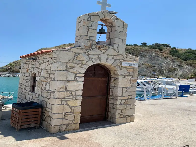
The islet is home to a Saint Nicholas shrine, constructed by a local man in 1954. This man suffered a sunstroke on the island but was able to swim to Nea Chora and survive. The island features a small sandy beach, favored for snorkeling and often visited by local diving schools and seafaring tour boats. In the 1950s, long-distance competitive swimmers frequently selected Lazaretta as their starting point for races, with the inner harbour of Chania serving as the finish line.
Situated 2.5km west of Chania city and just east of Agii Apostoli, you’ll find the glistening Golden Beach, or Hrissi Akti as it’s known in Greek. It’s essentially two sandy beaches separated by a rocky outcrop. The western cove is the primary Golden Beach, while the eastern one is the quieter Aptera beach. The west bay is the more popular of the two, boasting excellent facilities such as umbrellas, lifeguards, showers, cafes, water sports and more. Its fine golden sand and shallow waters are particularly appealing to families with young children, and there’s even a playground nearby.
Aptera beach, on the other side of the rocky divide, offers a more tranquil experience. It’s less developed and has the remnants of the Aptera Beach hotel which was abandoned in the late 90s due to financial difficulties. This beach is perfect for those looking for solitude and is conveniently close to Chania.
The entire Agii Apostoli area is dotted with small parks filled with pine and eucalyptus trees. Access to Golden Beach is easy, either by bus from Chania or by foot.
Agios Onoufrios, a serene seaside village located 8km north of Chania and close to Kounoupidiana, is a hidden gem worth visiting.
The beach of Agios Onoufrios is quiet and sandy, and well protected from the winds, as it is located in a deep bay, along with a picturesque small port. Although not well-organized, it’s a popular spot for locals who come for the picturesque landscape and traditional taverns. The only downside is the fuel tanks located northwest of the beach, which break the peaceful atmosphere.
Despite this, the beach is equipped with sunbeds, parasols, showers, changing rooms, and a lifeguard service. For sports enthusiasts, there are two volleyball courts available. Overall, Agios Onoufrios is a great destination for those looking for a quiet beach away from the crowds.
The Agii Apostoli, also known as the Holy Apostles, is home to two breathtaking beaches situated merely 3km west of Chania. The first beach, nestled next to the eastern edge of Glaros beach, boasts soft sand, full amenities, and ample parking, making it easily accessible. The beach is shielded from winds by a small peninsula to its west, which also houses a picturesque park ideal for leisurely walks and the iconic chapel of the Holy Apostles, the namesake for the surrounding area.
A stone’s throw to the east, a second equally enchanting semicircular cove emerges, featuring stunning green-hued waters and fine sandy beaches. The awe-inspiring rock formations that flank the beach only add to its allure. Adjacent to the eastern end of this beach, a small pine grove stretches out towards Chrissi Akti.
Both coves can be accessed either by bus from Chania or by foot. Additionally, Agii Apostoli is perfect for cyclists and pedestrians alike, thanks to the expansive paved road. With an array of high-grade hotels nearby, accommodation options are plentiful in the area.
No results available
No results available
© All rights reserved. Crete Locals