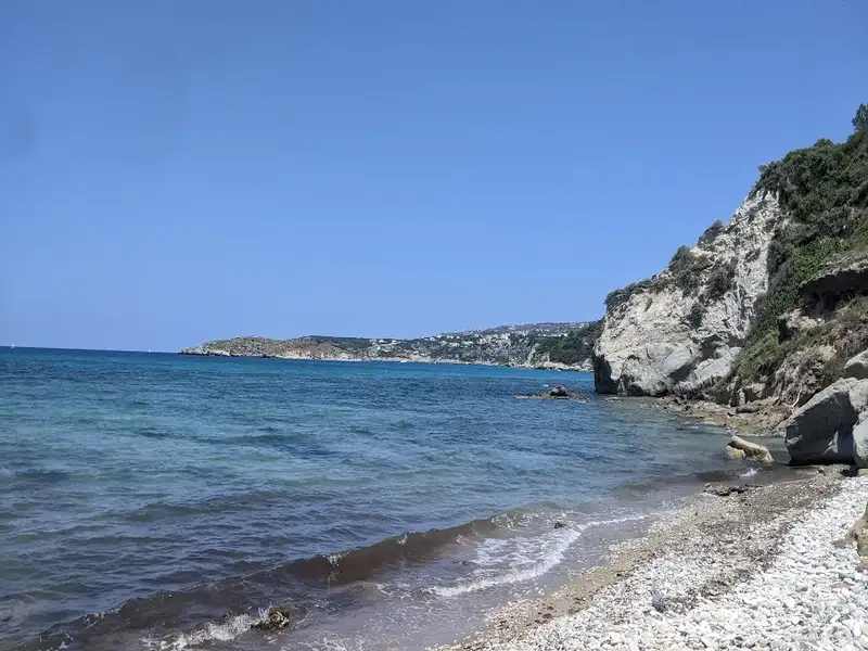
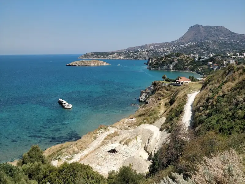
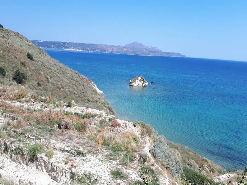
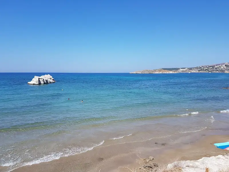
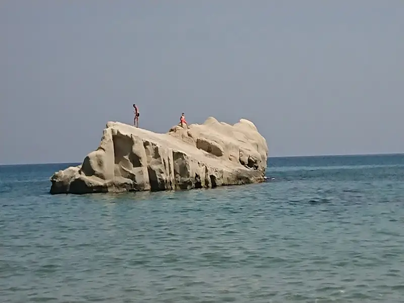
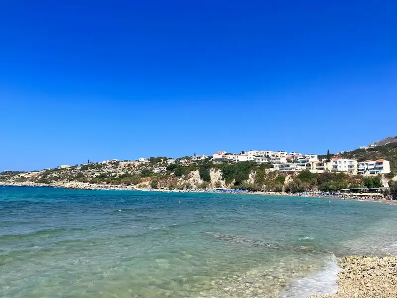
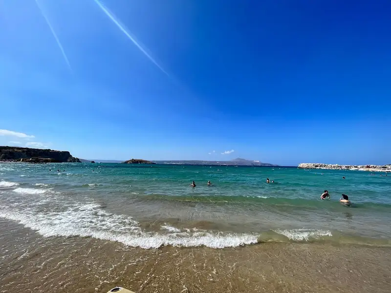
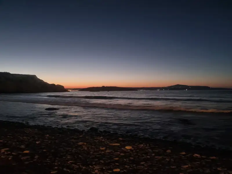
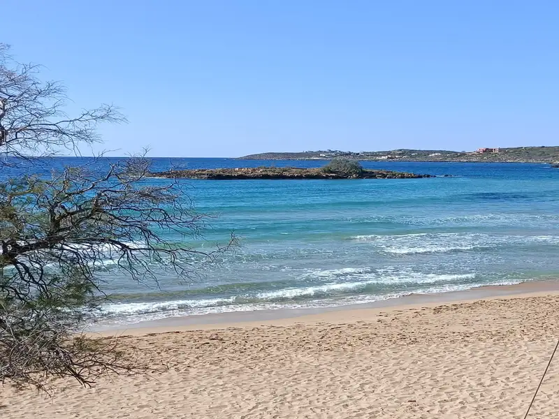
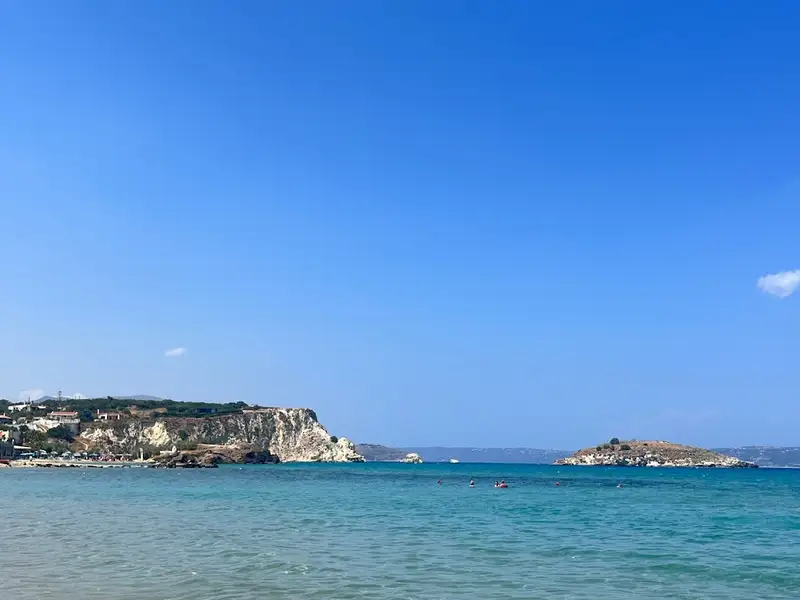
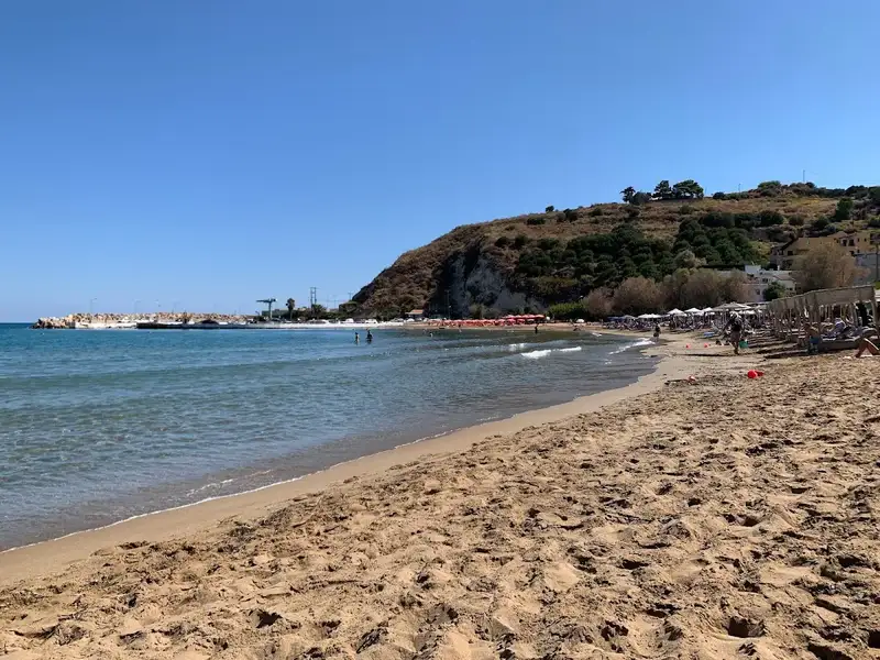
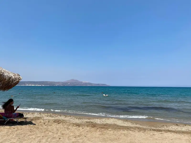
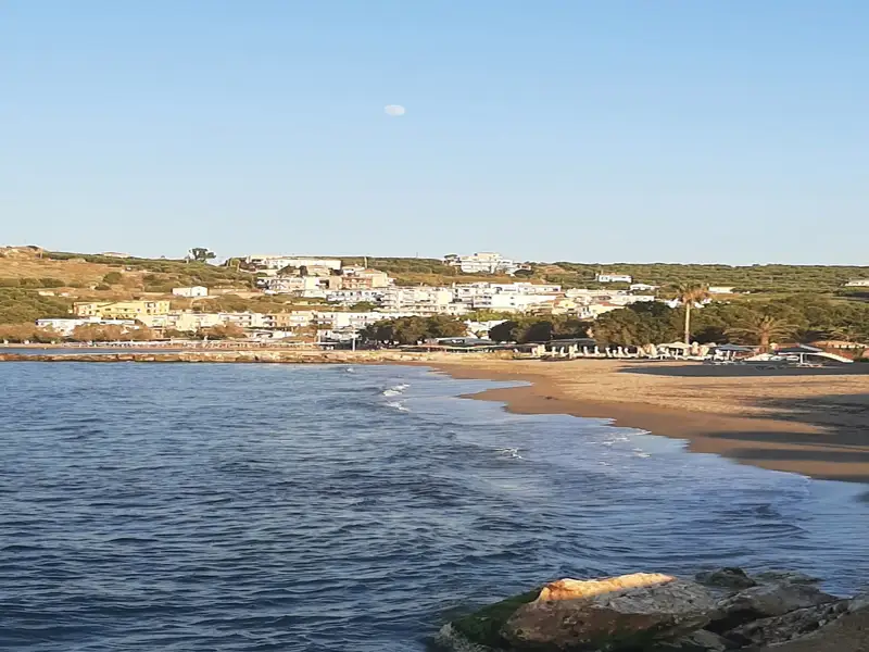
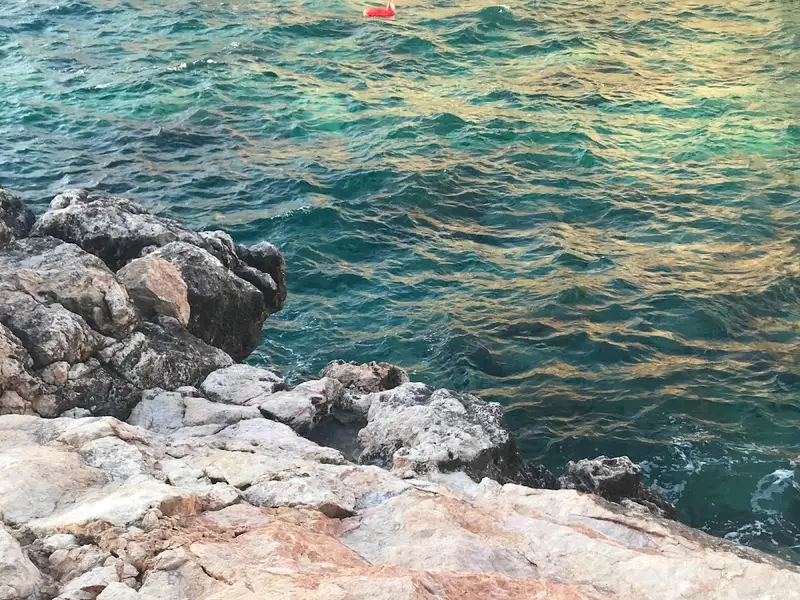
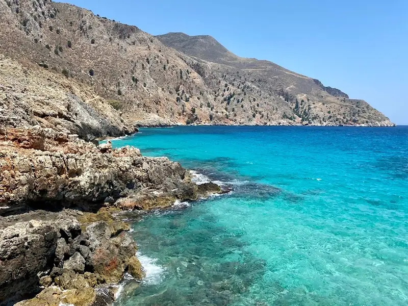
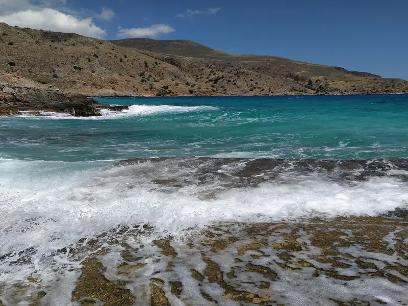
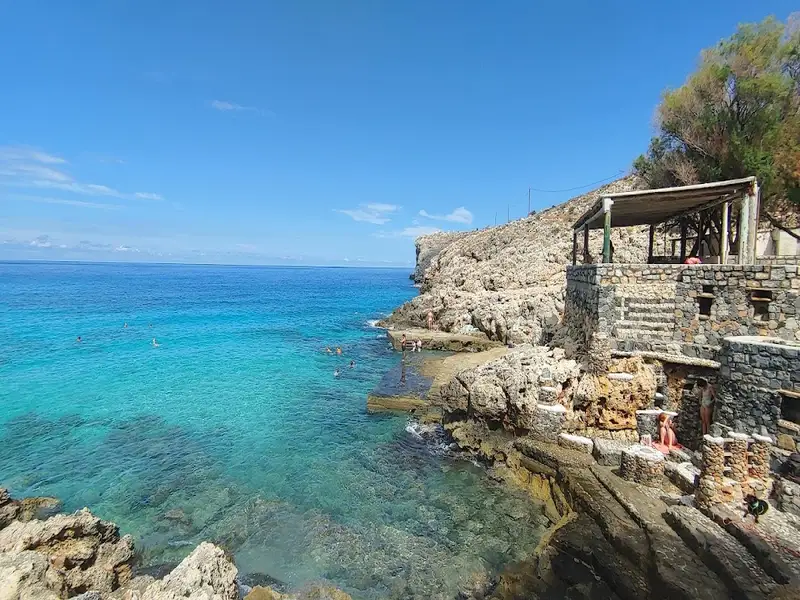
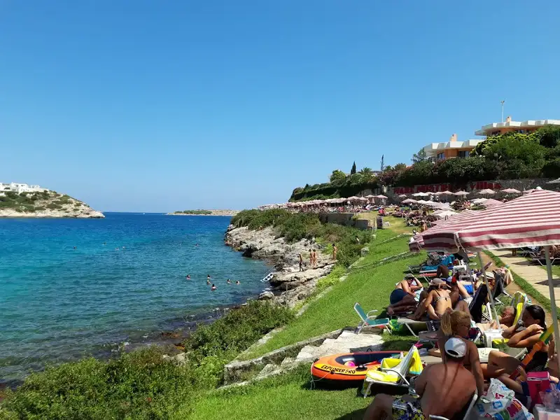
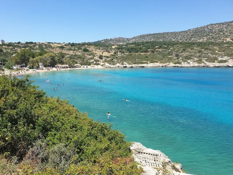
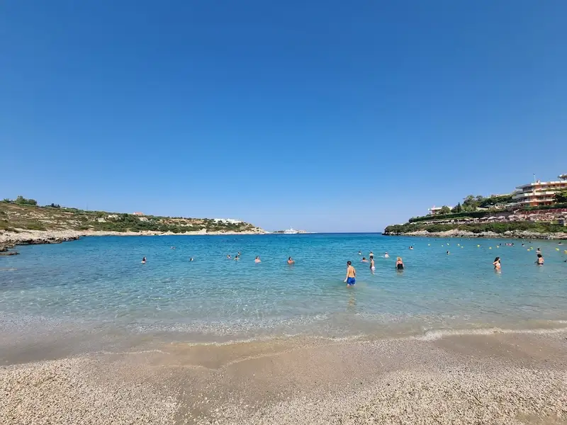
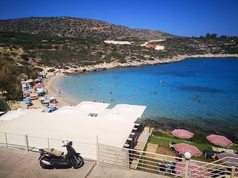
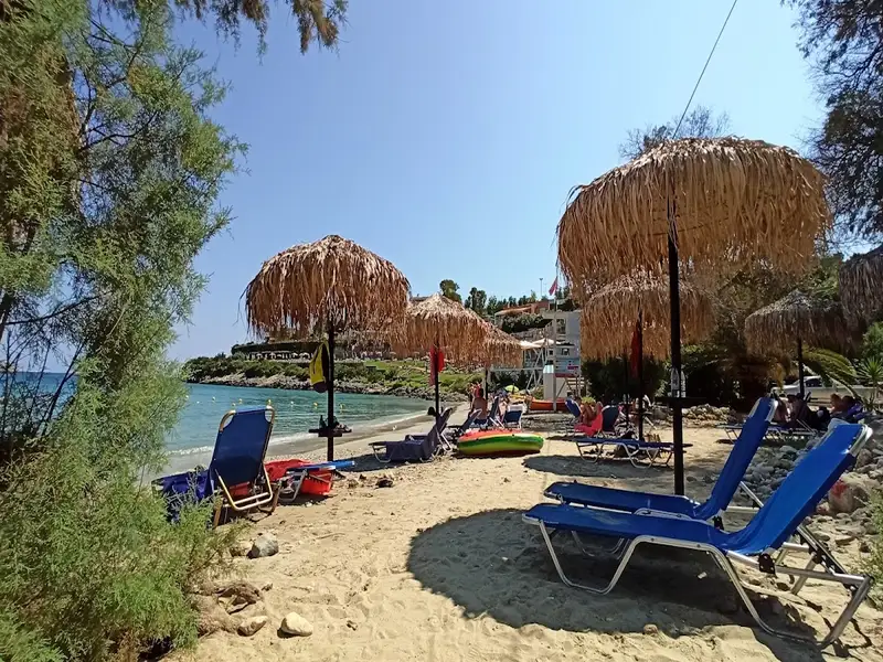
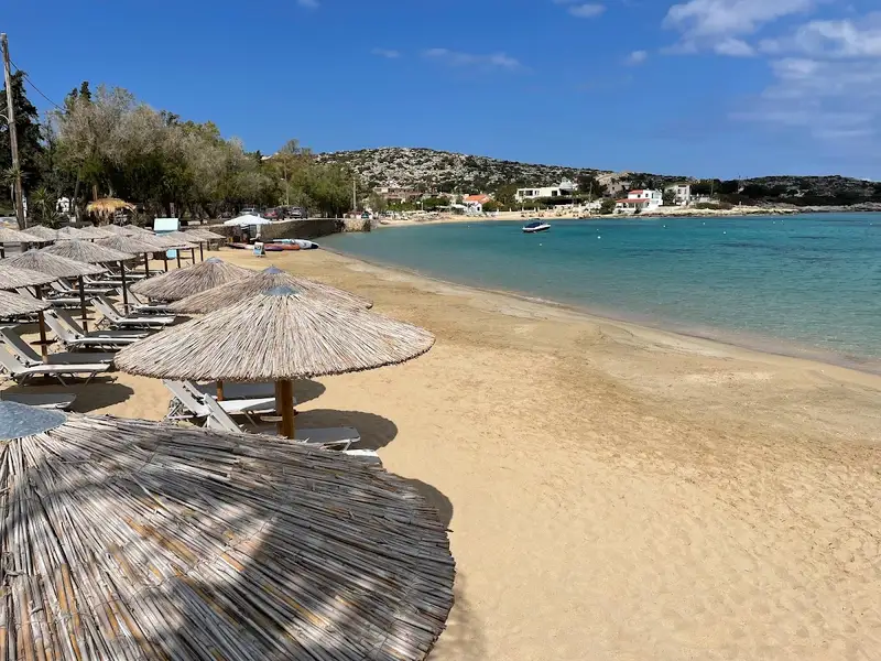
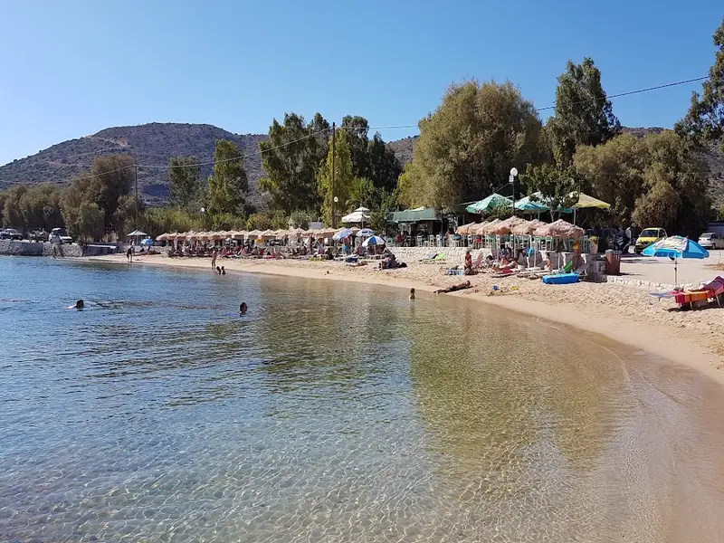
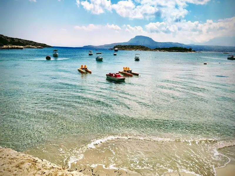
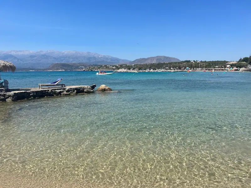
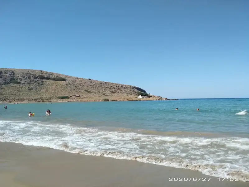
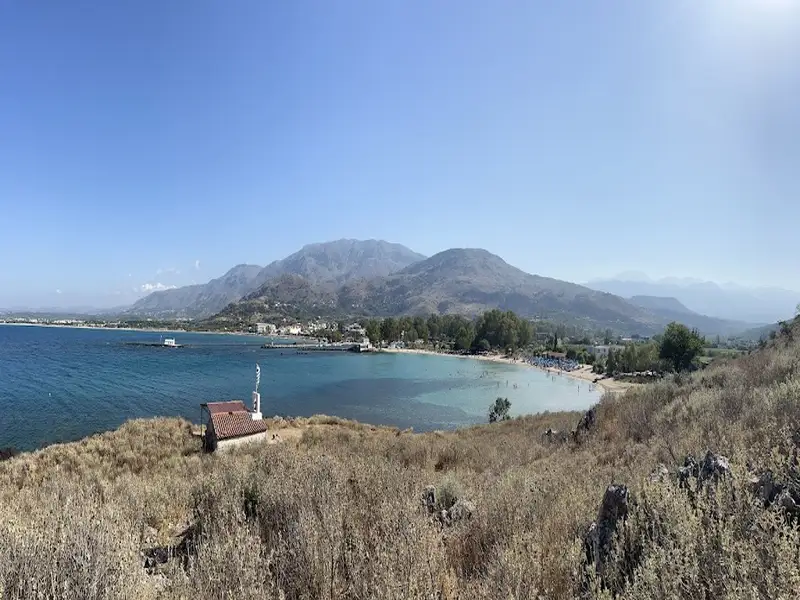
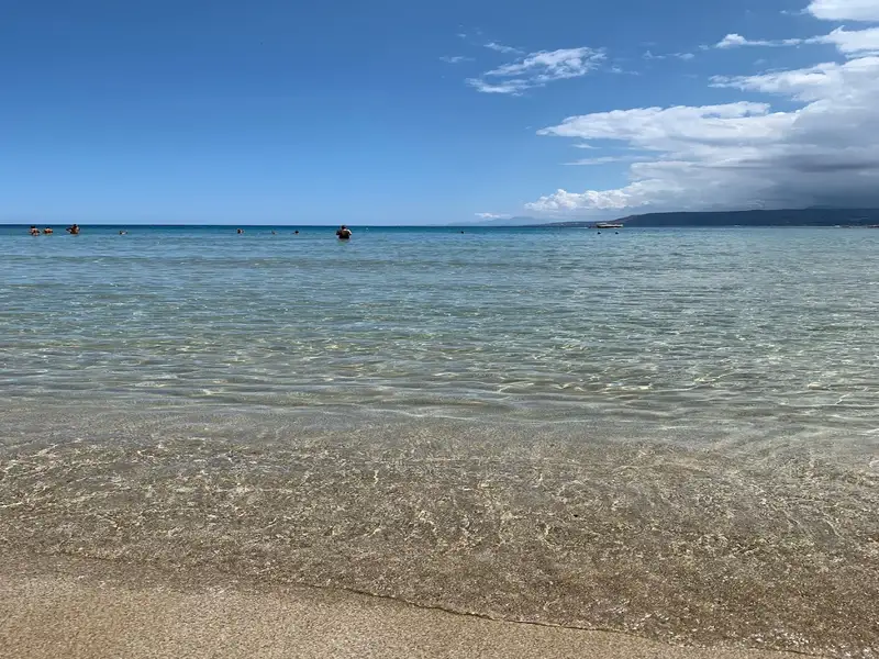
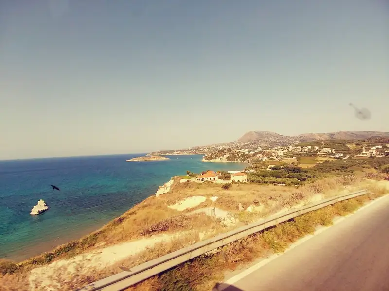
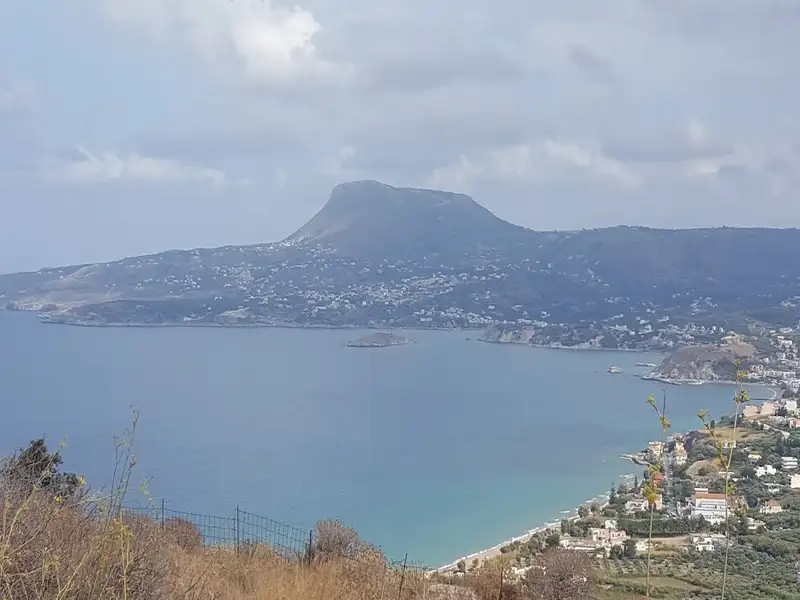
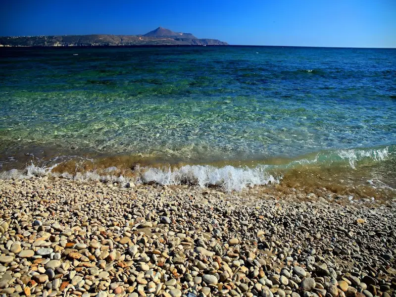
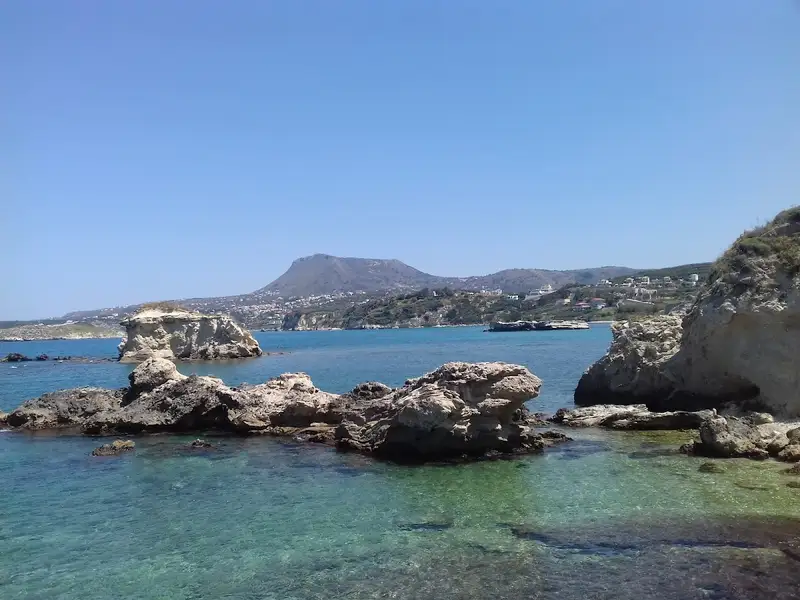
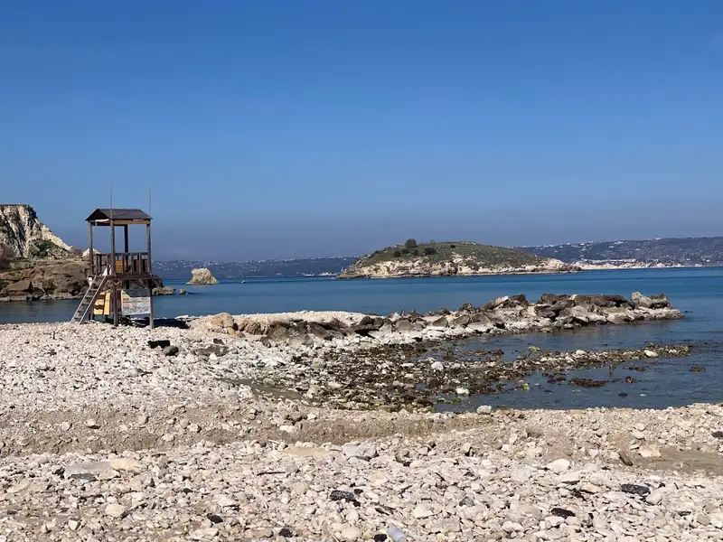
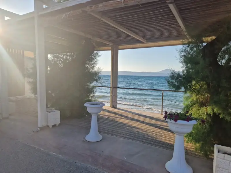
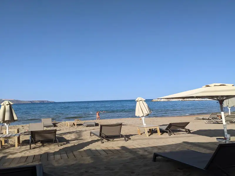
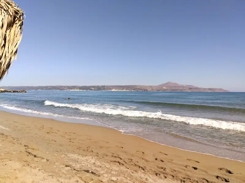
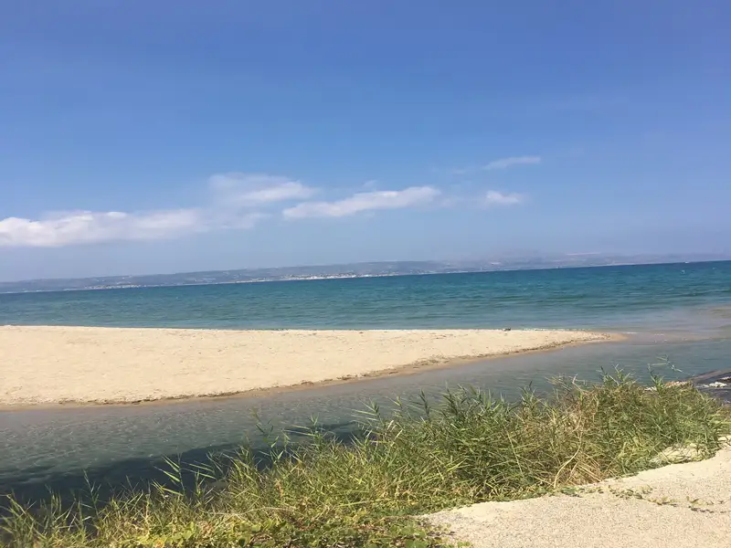
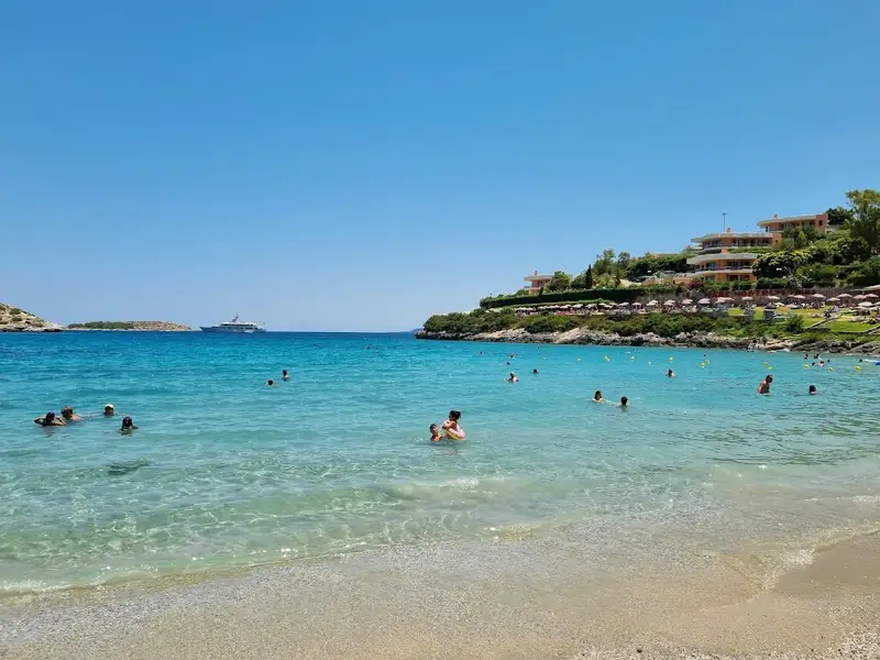
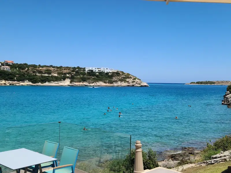
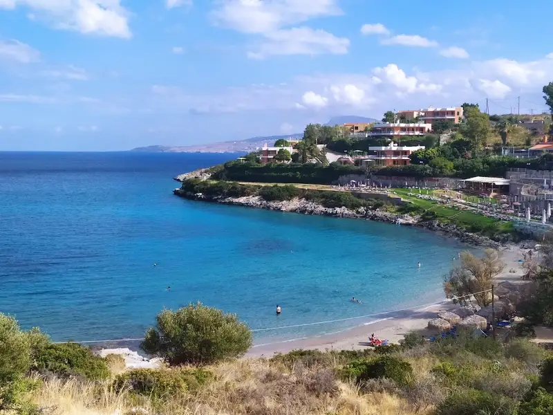
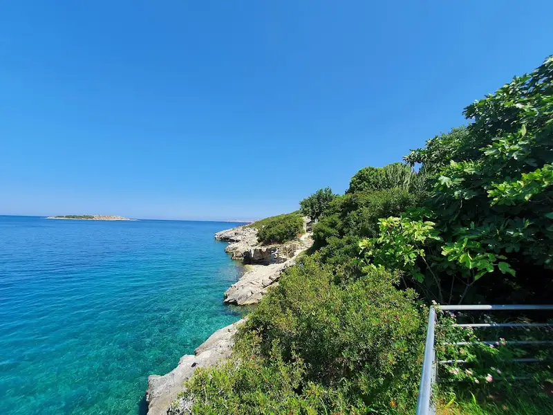
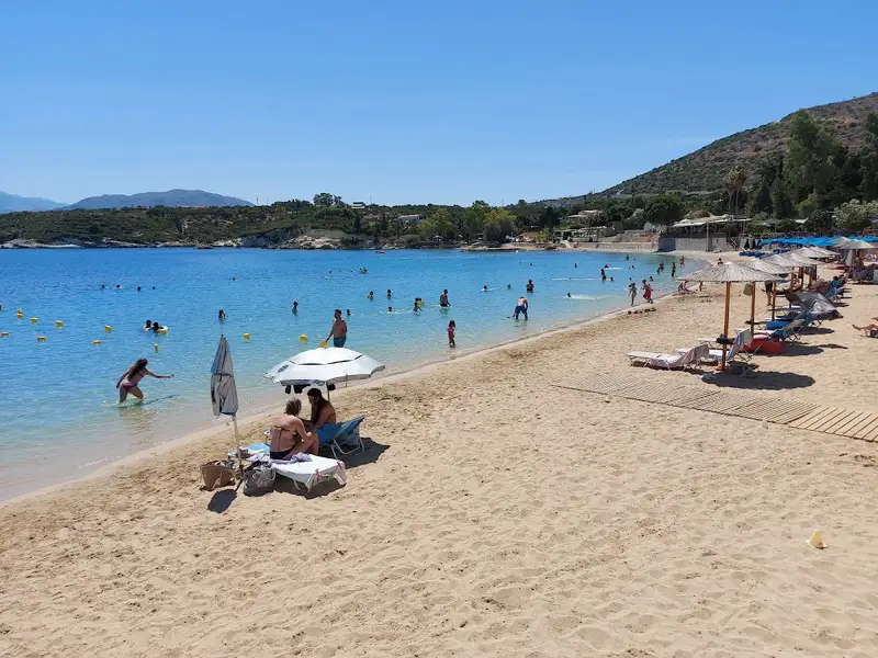
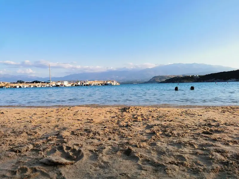
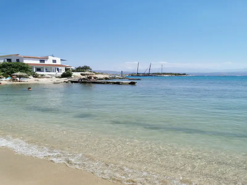
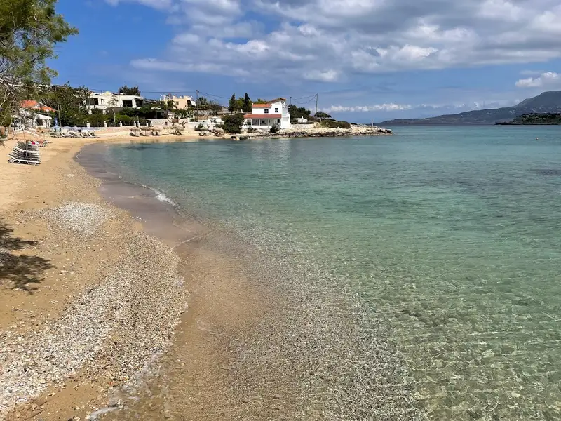
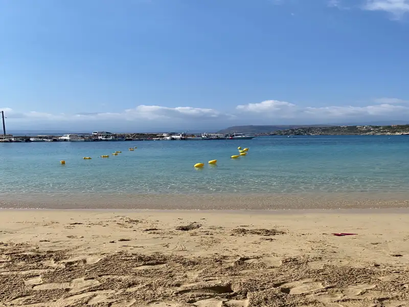
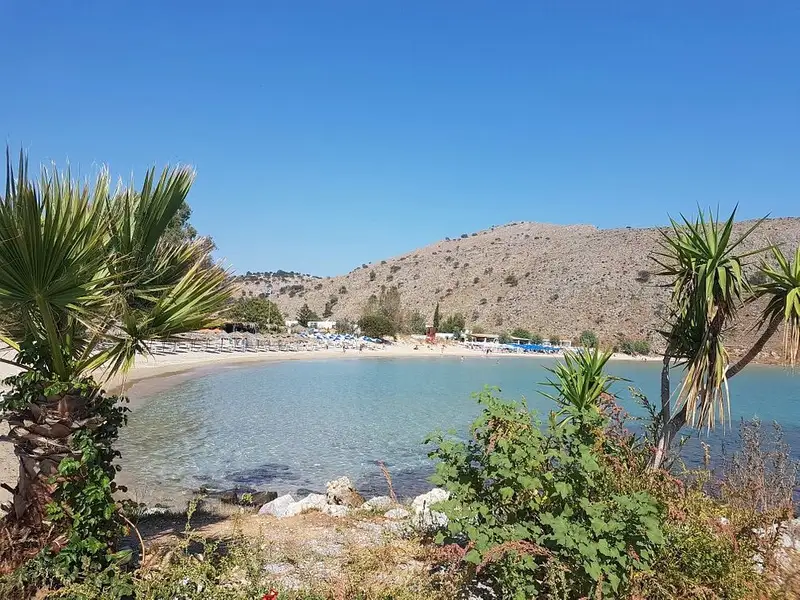
Situated approximately 20km east of the city of Chania, Kera beach can be found on the southern coastline of Souda Bay, near the scenic villages of Kalives and Plaka. This beach, adorned with soft sand and the occasional pebble, is nestled amidst a breathtaking landscape of towering cliffs. The sea at Kera is shallow and boasts crystal clear waters. Although it lacks organization, the surrounding area offers numerous choices for lodging and dining. Those preferring less crowded spots will find Kera an ideal choice. The beach offers a striking view of Karga island and features a unique elongated rock in the sea towards its west end. This rock, named Karavos (meaning ship) by the locals, resembles a boat.
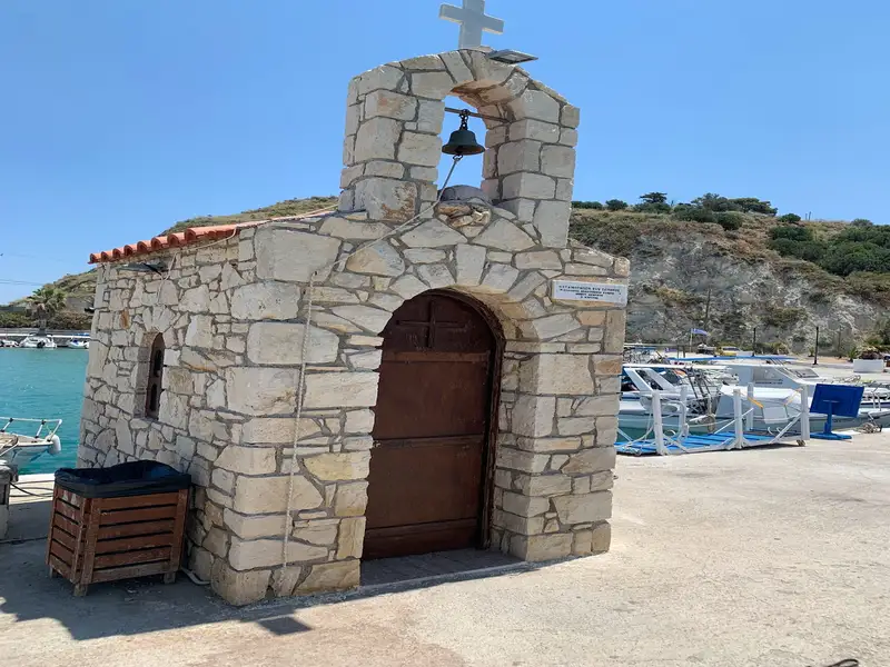
Close to the beach is the 19th-century church of Panagia Kera (or Dame Virgin Mary), erected on the location of a former monastery. According to local legend, when pirates once tried to invade the area, the inhabitants sought divine intervention from the church of Panagia Kera. In response to their prayers, the Virgin Mary turned both the pirates and their boat to stone.
Almyrida beach is a tranquil resort offering basic facilities along with a magnificent seafront. Almyrida is situated 23km east of Chania city and nestled on the southern edge of Souda Bay near Cape Drapanos. The surrounding pristine countryside and verdant olive groves provide perfect opportunities for hiking and exploration.
A short distance of just 1km to the east lies the scenic village of Plaka, the largest in the area, renowned for its welcoming atmosphere and healthy climate. The coast stretching to Drapanos Cape is dotted with numerous sea caves, presenting a breathtaking natural spectacle. Plaka is also celebrated for its charming, narrow lanes and well-preserved, traditional houses.
Each July, the village hosts the Plakiana festival, a tribute to the renowned lyre musician Michael Papadakis, or Plakianos, showcasing the area’s rich cultural heritage. Among the unforgettable experiences here is the mesmerizing sunset, a truly memorable sight.
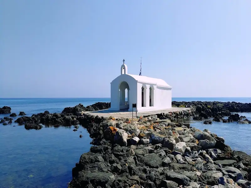
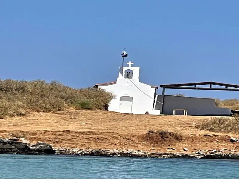
Declared a region of infinite beauty in 1977, Almyrida boasts two beautiful sandy beaches with shallow waters. On calm days, they’re safe for children to play in. These two beaches are separated by a small rocky peninsula featuring a quaint white chapel. Ideal for water sports and windsurfing, the area is also renowned for its seaside taverns serving fresh fish and delicious traditional Cretan cuisine. Regular bus and taxi services connect Almyrida and Plaka to Chania city.
Directly across from the beach is the small island of Karga, a haven for birdlife and a popular spot for excursions and fishing. The island still bears traces of ancient Phoenician walls and shelters constructed by the Germans during World War II.
Almyrida is thought to have been a Phoenician colony, hence the nearby location Finikia. Here, you can find ancient ruins and tombs. At the entrance to the village lie the remnants of a 6th-century triple-aisle Christian basilica with well-preserved mosaics. Almirida also played a role in Crete’s history as the site of the last battle against the Turks in 1896.
For those interested in sightseeing, just four kilometres east of Almirida is Kokkino Chorio or Red Village. A small village with intriguing fortifications built by the Germans during their occupation (1941-1945) to safeguard the military port of Souda. This was also a filming location for the famous movie “Zorba the Greek”. Today, it hosts a small factory producing handmade glass using traditional blowing techniques.
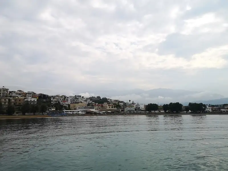
The coastal resort of Kalives is situated 19km west of Chania, along the southern edge of Souda Bay. This charming village is nestled in a verdant valley where several rivers meander. Its name, which translates to “Huts” in Greek, is thought to have originated from the primitive structures erected by farmers for summer overnight stays. The rivers of Xidas and Mesopotamos flow near the village’s eastern boundary. The combination of these rivers with the sea’s many springs results in a cooler sea temperature.
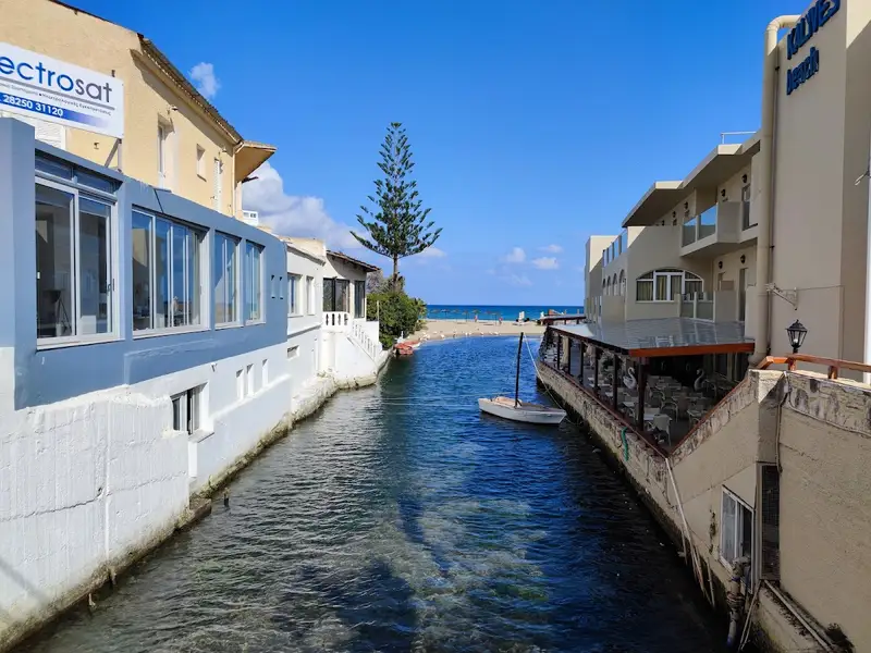
Adjacent to the Xidas river, both east and west, are two sandy beaches with shallow waters, exposed to northern winds. Named Xidas and Maistrali respectively, these beaches are well-equipped with standard tourist amenities. A petite, picturesque bridge at Xidas river’s mouth connects these two beaches. The scenic harbor of Kalives neighbors Maistrali and is connected to Chania through regular bus services. The area also houses banks, post offices, clinics, shops, and more.
North of Kalives, at the mouth of the Kiliaris river, lies the serene beach of Kiani Akti or Glaros. The Kiliaris river, which carries water from the White Mountains, maintains a year-round flow, a rarity in Crete. This results in cooler seawater near the river.
Kalives’ geographical position and fertile soil have made it a place of habitation since ancient times. It is believed to be the location of the ancient city Amfimatrion. Notable historical events include the construction of the Castel Apicorno fortress in 1206 and the village’s destruction by the pirate Barbarossa in 1538. The village is also close to the ancient city of Aptera and the Ottoman forts of Intzedin and Aptera.
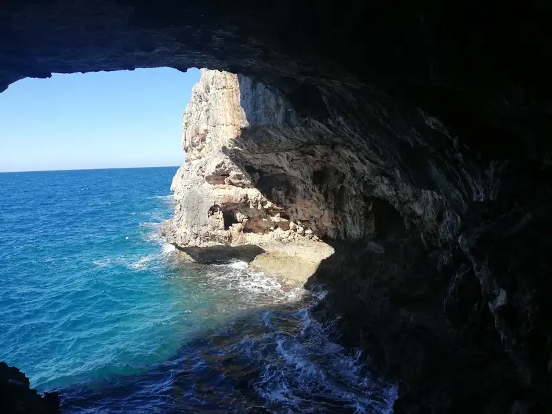
The harbor houses a German cannon concealed in a cave on the other side of a mountain. A small window at the tunnel’s end offers breathtaking views of the cliffs and sea. This is merely one example of the German defensive structures scattered across the broader Apokoronas and Akrotiri Cape area.
Visitors are encouraged to stroll through the village’s picturesque narrow streets, eventually reaching the village’s central square, home to a large plane tree and the Agia Paraskevi church. The church, adorned with frescoes, was constructed during the German Occupation in World War II.
An old Venetian mill, one of Crete’s most complex, is located along the Mesopotamos river. Built from stone and kourasani (a mixture of mortar and ground tile), it is renowned for its durability.
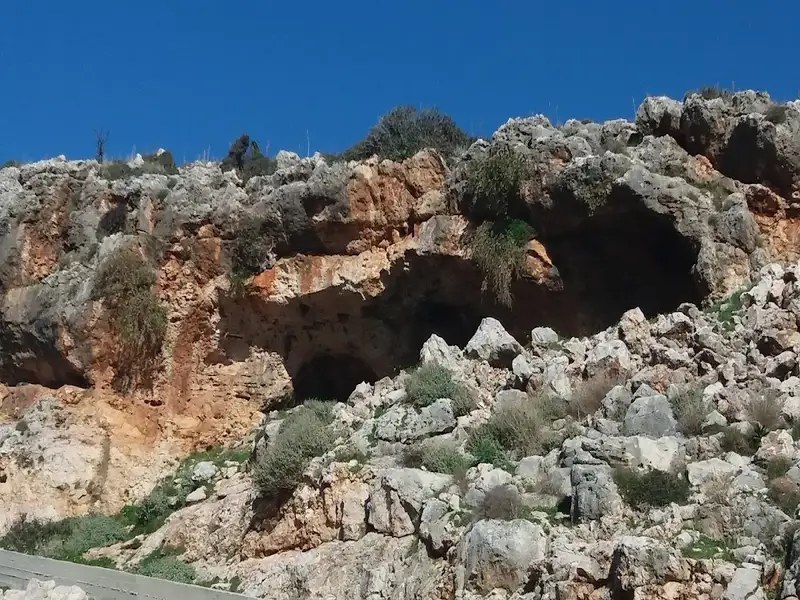
Koutalis, also known as Koutalas beach, is positioned 25km to the east of the metropolis of Chania, situated near Cape Drepano and approximately 1km north of Kokkino Chorio. The region is notable for its extraordinary caves, such as the Elephants’ Cave and Petsis Cave. Adjacent to Koutalis, Kokkino Chorio is recognized for the WWII cavernous shelters erected by the Germans on Drapanokefala hill to safeguard Souda Bay, its charming traditional residences, and a collection of wells for water collection. This location also served as a filming location for “Zorba the Greek.”
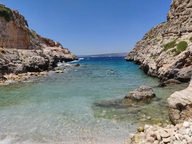
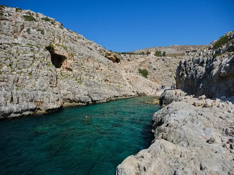
Being relatively secluded, Koutalis beach is a familiar starting point for local scuba divers exploring the nearby sea caves. The beach is nestled at the end of a rocky gorge and cradled within a narrow bay, characterized by its large, round pebbles and stones. It’s the perfect spot for fishing and solitude, but ensure to pack essentials like umbrellas, food and water. To reach this location, head north from Kokkino Chorio village towards Drepano Cape, then onto the road leading to Faros (Lighthouse). Roughly 700m further north, look for the sign to Koutalas. A manageable dirt path will lead you directly to the beach, which might well be totally deserted. A large cave can be found next to the beach.
Vraskos Beach
A hidden gem between Koutalis and Almirida is Vraskos beach. Similar to Koutalis, Vraskos is located at the end of a short narrow gorge, but no road leads directly to it. The sea bed is quite rocky with patches of sand.
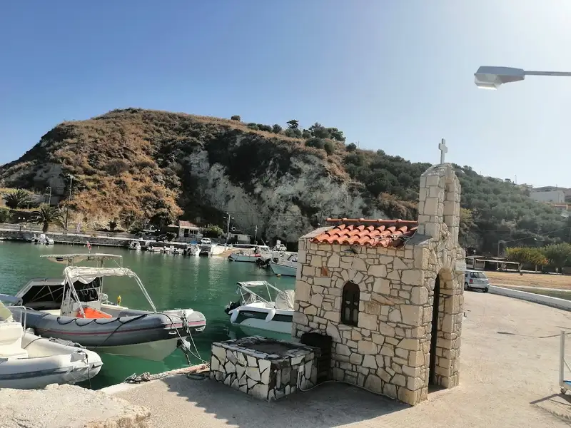
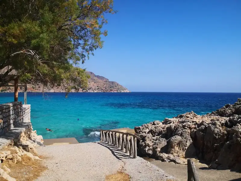
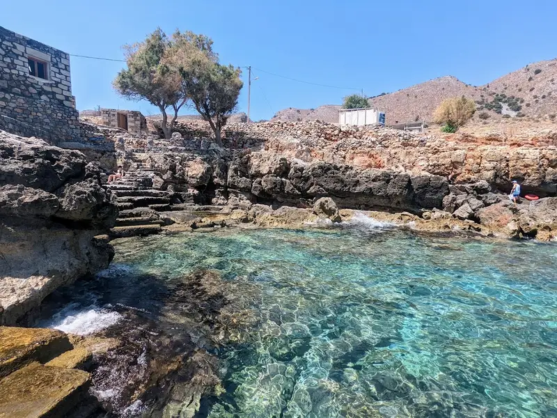
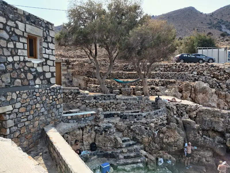
Ombros Gialos (also spelled Omprosgialos or Ombrosgialos) is a small, rocky bay on the east coast of the Drapanokefala peninsula, 26km east of Chania. Ombros Gialos sits near the villages of Kefalas and Paleloni, and it centers on a little harbour whose dock lets swimmers step straight into deep, clear water. This is an unorganized cove built for people who want blue-green sea, a single well-known fish tavern, and calm surroundings rather than sunbeds and busy beach bars.
Use this guide to decide if the bay fits your day, then plan how to reach it.
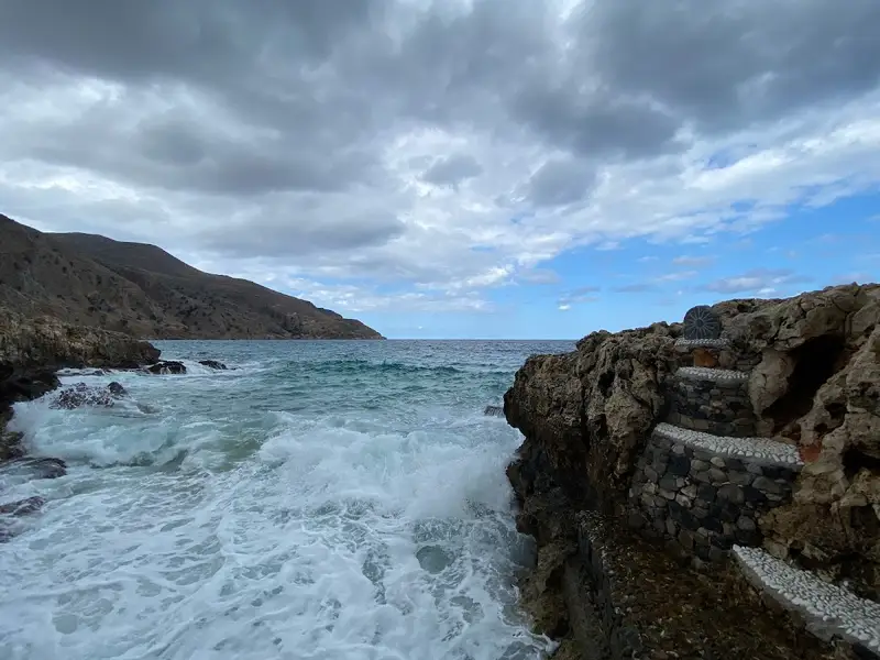
Ombros Gialos is a rocky beach with rocks in places rather than a wide sandy shore. The water runs deep blue and green right off the shore, and the small harbour includes a dock that swimmers use as a diving point into the crystal sea. The bay stays quiet and feels remote, because it lies well away from large resorts and organized beach services. You get scenery and swimming here, so treat it as a spot for a relaxed dip rather than a full day of loungers and amenities. The rocky character of the shoreline shapes everything about a visit, from where you enter the water to what shoes you pack, and the shore counts among the Crete beaches with rocks in places.
Ombros Gialos is reached by car on the asphalt road that starts from Paleloni. The paved route makes the drive straightforward once you are near the village, and the road leads down toward the harbour on the east coast of Drapanokefala. A boat trip is the other option, since you can arrive by private boat from a nearby port. Georgioupolis and Kalives both work as departure points for that short sea approach, and Georgioupolis in particular is an easy base if you are already exploring the wider stretch of coast covered in the guide to the Georgioupolis beaches.
Having your own vehicle gives you the most flexibility for a remote cove like this one, so many visitors combine the trip with other stops in Apokoronas by renting a car in Crete.
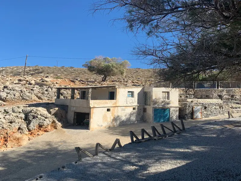
Ombros Gialos is not well organized, and it sits quite far from well-organized accommodation choices. One tavern stands next to the harbour, and it is very famous for its fish dishes. The taverna keeps food and water available on site, which covers the essentials for a visit. Beyond the taverna, plan to bring what you need, because the bay is a natural, low-key spot rather than a serviced beach.
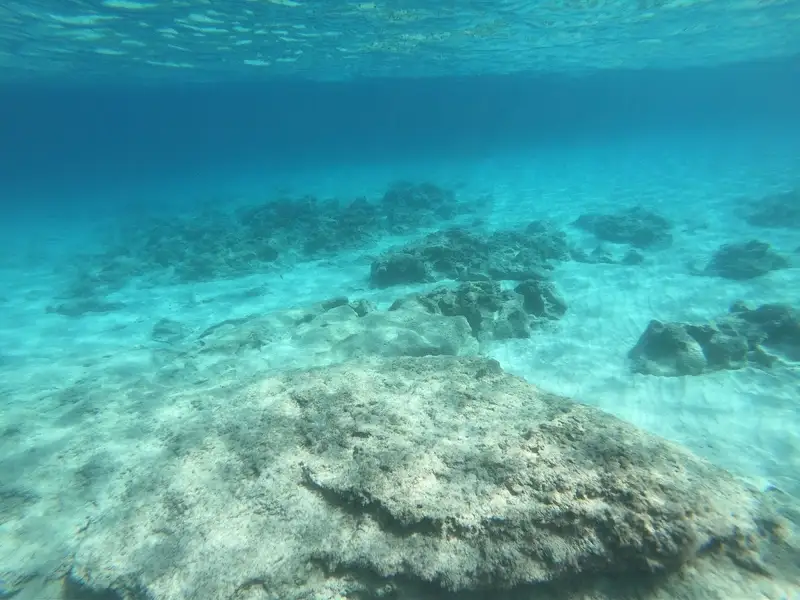
The sea around Ombros Gialos is ideal for snorkelers and scuba divers. Deep, clear water sits right at the harbour dock, and swimmers commonly dive in from that dock into the blue sea below. The rocky seabed and deep-blue water make the cove a strong choice for anyone who wants to explore underwater rather than lie on sand. Enter carefully over the rocks, since the shoreline is stony in places and the water gets deep quickly near the dock. Water shoes help you cross the rocks comfortably and protect your feet at the entry points.
Ombros Gialos suits swimmers, snorkelers, and divers who prefer a quiet, scenic cove over an organized resort beach. The bay rewards visitors who value deep clear water, a good fish taverna, and calm surroundings. It is a weaker match for families who need sunbeds, umbrellas, and shallow sandy shallows for young children, because the shore is rocky and the services are minimal. Choose this cove for a relaxed swim and a seafood lunch, and pick a sandier, organized beach elsewhere if you want full facilities. Travelers who enjoy dramatic, off-the-beaten-path Chania coves often pair a visit here with a stop at the striking cliffs of Seitan Limania beach.
Ombros Gialos is on the east coast of the Drapanokefala peninsula, 26km east of Chania, near the villages of Kefalas and Paleloni.
Ombros Gialos is a rocky beach with rocks in places, and the water turns deep blue and green close to shore.
The bay is unorganized and has one taverna next to the harbour that is famous for its fish dishes and provides food and water on site.
Drive the asphalt road that starts from Paleloni, or arrive by private boat from a nearby port such as Georgioupolis or Kalives.
The deep, clear sea around the harbour is ideal for snorkelers and scuba divers, and swimmers dive straight in from the dock.
June to September is the best window for swimming and warm, settled conditions. For more coves along this coast, browse the wider collection of Crete beaches.
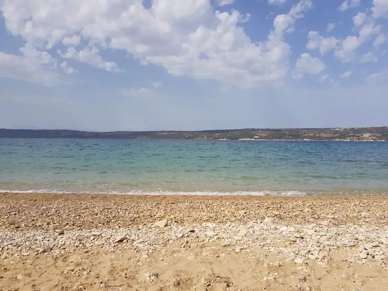
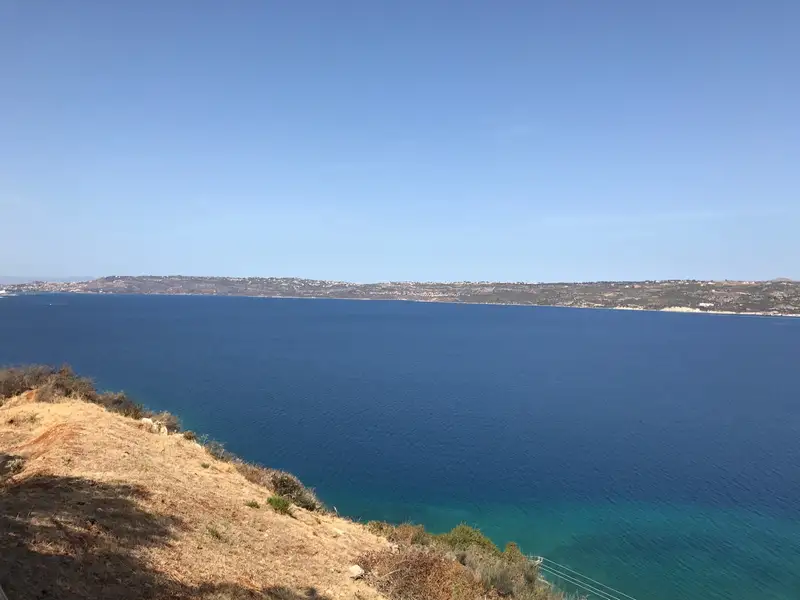
The village of Kalami is situated 15km to the east of Chania city, nestled on the southern shore of Souda Bay and in close proximity to Megala Chorafia village. It boasts a breathtaking panorama of the bay and Souda fort. Moreover, it’s near the ancient city of Aptera and the Turkish forts of Intzedin and Aptera.
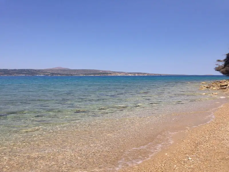
A mere 500m north of the village, a delightful beach adorned with rounded pebbles and deep water is found. At the beach’s east end, there’s a small harbour housing various boats. The beach is a favourite spot among the locals, although it’s yet to be fully organized. There are a handful of umbrellas and tamarisk trees scattered about. The village and the surrounding region offer a few accommodation and dining options.
The coastal retreat of Loutraki can be found 16km to the east of the city of Chania, nestled near the American military base in Souda. Loutraki, along with the nearby Marathi, are the two primary tourist hotspots in the eastern region of Akrotiri.
Loutraki boasts a tranquil beach with fine, soft sand and crystal clear, shallow waters, making it an ideal spot for children. The beach is well-maintained and equipped with all the standard tourist facilities, all under the cool shade provided by the trees along the beach. Visitors can hire umbrellas, dine in local taverns, rent rooms for their stay, and partake in a variety of water sports.
Additionally, there is a large parking area available for visitors, which is shaded by tall eucalyptus trees.
Situated 17km east of Chania and 5km east of the Creta Naval Base in Souda Bay, Marathi beach can be found on the southeastern coast of Akrotiri. The beach is a well-known resort in the Chania area, drawing a large number of visitors each summer, particularly families and the elderly.
Marathi boasts two exquisite sandy beaches with shallow, calm waters, perfect for children. These beaches are well-shielded from wind due to their southern orientation and offer a stunning view of the Drapanos Cape and the White Mountains. A small pier, which serves as a harbor for fishing boats and small ferries, separates the two beaches. The area is well-equipped with all essential amenities for a comfortable visit.
Opposite Marathi beach, about 500m away, lies the small island known as either Marathi or Palia Souda (Paleosouda). One can swim to reach the island, which is home to a small pine forest. Its western coast is steep, making it a popular destination for scuba divers.
Venturing northwards along the beach road, you will stumble upon the ruins of the Roman town known as Minoa, believed to have been a seaport city of Aptera. The archaeological site, also referred to as the Small Palace of Minos (although it doesn’t date back to the Minoan Times), reveals remnants of buildings and baths likely related to an ancient harbor, military facilities, and a mansion. Notably, a semicircular wall can still be seen on the beach.
Heading northwest from here, after passing a section of the beach frequented by ducks, we come upon the church of St. Spyridon. This spot offers a beautiful seascape perfect for wedding or christening ceremonies.
In contrast, if we head southwest from the port, we reach the end of the harbor’s pebbly beach known as Sosorides. This beach is a local favorite, known for its serene, unfussy atmosphere. Sosorides can be accessed via a paved road that begins a few meters before Marathi when approaching from Chania.
Kalivaki beach is the westernmost beach of Georgioupolis bay, on the north coast of Crete, 38 km east of Chania and 21 km west of Rethymno. Kalivaki sits at the mouth of the Almyros river, where the river meets the sea, so its sandy shore stays sheltered from the wind and its shallow water runs noticeably cool. This sheltered, family-friendly setting makes Kalivaki a good choice for children, especially on days when the wind stirs up the more open beaches nearby.
Kalivaki beach lies at the western edge of Georgioupolis bay, west of the Georgioupolis port and the church of Agios Nikolaos, 38 km east of Chania and 21 km west of Rethymno. Kalivaki sits at the exit of the Almyros river, joined by the smaller Boutakas stream, and both keep a steady flow of fresh water into the sea all year. The beach faces the open north coast, so its surface is calm in the sheltered corner near the river and turns wavy further out when the wind picks up. This position, tucked at the protected western end of the bay, is what sets Kalivaki apart from the longer, more exposed Georgioupolis beach to the east.
The water at Kalivaki is noticeably cooler than the open sea because the Almyros river and freshwater springs push cold water into the shallows. This cool current is strongest at the parts of the beach closest to the river mouth, where the cold river water meets the warmer sea. Many families come to Kalivaki for exactly this refreshing dip, which feels sharper and cooler than a swim on the neighbouring sandy beaches. Swim towards the eastern side of the beach, away from the river outflow, if you prefer warmer water.
Kalivaki is a sandy beach with soft sand and small dunes behind the shore, and its shallow, sheltered water suits families with young children. Kalivaki usually stays less crowded than the other Georgioupolis beaches, though visitor numbers rise on summer weekends. The sheltered cove keeps the water calm on windy days, when the longer beaches to the east grow choppy, so Kalivaki works well as a fallback when the wind is up. Where the Almyros river meets the sea the outflow can create a noticeable current and colder water, so keep children in the calmer, sheltered part of the cove and take extra care on windy days.
Kalivaki gives visitors umbrellas and sunbeds to rent, with beach bars and taverns nearby for food and water a few steps from the sand. Parking sits close to the shore and the beach is free to enter, so a family beach day here needs little planning. Services such as showers, changing rooms and a lifeguard are not a guaranteed feature at Kalivaki, so check what is open on arrival if you rely on them. Most of the beach services run mainly through the summer season, and they thin out in the quieter spring and autumn months.
Kalivaki beach is a recorded nesting point for the loggerhead sea turtle (Caretta caretta), which lays its eggs in the sand in the warm months. Keep clear of the soft dry sand and any marked nests, and avoid digging or pushing umbrella poles deep into the sand near the back of the beach. Take your litter home with you, because a single nest can sit just below the surface. These small steps let the turtles and their eggs stay undisturbed while you enjoy the beach.
Reach Kalivaki beach in a few simple ways from Georgioupolis and the main coast road:
Kalivaki sits between Chania and Rethymno, so a beach morning here fits easily with Lake Kournas, the Georgioupolis waterfront, and the quieter coves along the Apokoronas coast. Reaching them all on your own schedule is simplest with your own vehicle, which you can compare on our car rental in Crete page.
Kalivaki beach is the westernmost beach of Georgioupolis bay, on the north coast of Crete, 38 km east of Chania and 21 km west of Rethymno.
Yes, Kalivaki beach suits families, because the water is shallow, the cove is sheltered from the wind, and the beach stays calmer than the neighbouring Georgioupolis beaches. Keep children near the calmer part of the cove and away from the stronger current at the river mouth.
The water at Kalivaki is cold because the Almyros river and freshwater springs feed cool water into the shallows, and the effect is strongest close to the river mouth.
Kalivaki beach has umbrellas and sunbeds to rent, with beach bars and taverns nearby for food and water, and free parking close to the shore. Showers, changing rooms and a lifeguard are not guaranteed, so check what is open on arrival.
Drive or take a local bus to Georgioupolis, then follow the paved road or walk west from the port to the river mouth at the western end of the bay.
The main season runs from June to September, when the weather is warm and the beach services are open, while late spring and early autumn stay quieter for a calmer visit.
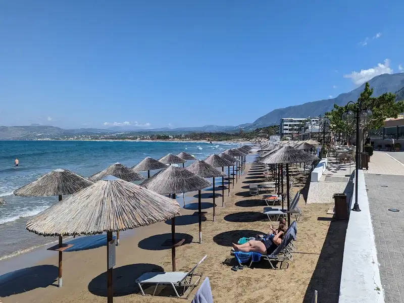
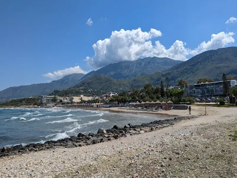
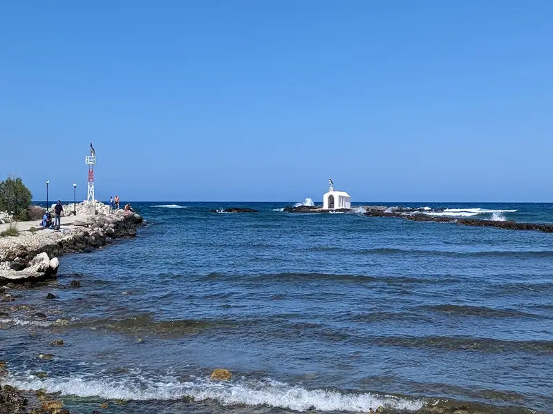
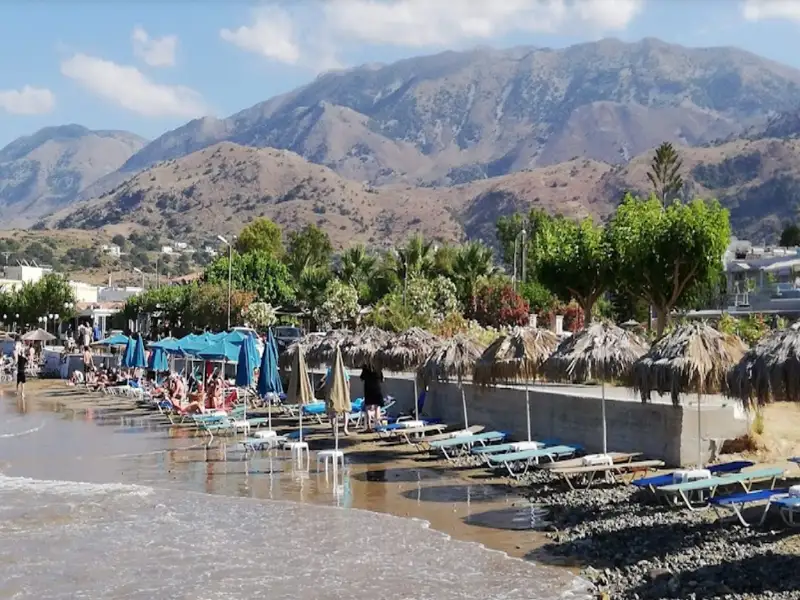
Georgioupolis, a small coastal town located 38km east of Chania and 21km west of Rethymnon, is a seaside resort nestled in a verdant valley crisscrossed by rivers and springs. Situated on the western edge of a sprawling 10km beach, the town’s beach spans 2km to the east, beginning at the Almiros river and terminating at Kavros beach, a natural continuation of the former. The beach in Georgioupolis is sandy, dotted with dunes, and has shallow waters.
The beach is well-maintained and child-friendly, with lifeguards on duty. Caution is advised during windy conditions due to sea currents. Amenities such as umbrellas, showers, and food and drink stalls are available for beachgoers. Approximately 700m east of the port, the Perastikos river bifurcates the beach, which then widens as it continues eastward. On the opposite end, west of Georgioupolis’s port and near the Almyros river’s exit, lies the picturesque Kalivaki beach.
No results available
No results available
© All rights reserved. Crete Locals