Beaches near Ayía Fotiá, in Lassithi region

Here is list of closest beaches to Ayía Fotiá

  • 3.5 km
  • Sitia beach
  • Sand
  • Shallow
  • Blue

Situated 64km east of Agios Nikolaos, Sitia is the furthest city to the east on the island of Crete. In the broader region of the Sitia province, there are numerous petite beaches that offer a delightful combination of sun and sea. For those who enjoy staying near the urban area, the city’s long beach is an attractive option. Situated to the east of the city, Sitia beach stretches from the port all the way to the Petras area. The beach, largely composed of sand with some pebbles scattered here and there, has shallow waters. It is well-equipped with amenities such as umbrellas, showers, lifeguards, beach/water sports, and beach bars. However, quiet spots can be found along its extensive shoreline, particularly towards the east. The east side also accommodates campervans and is dotted with a few trees.

Beyond the Petras area to the east, you can explore the ruins of an ancient city at Trypitos Cape, alleged to be Itia, the hometown of the Wise Myson. Moreover, archaeologists have discovered remnants from various phases of the Minoan era in Petras. West of Trypitos’s archaeological site, another small beach named Karavopetra is located. This name translates to “Ship Stone”, inspired by the sea boulder where ships would traditionally anchor.

  • 6.7 km
  • Vathis Potamos beach
  • Pebbles, Sand
  • Deep
  • Blue

In the expansive, uninhabited wilderness between Platani and Sitia airport, the landscape is dominated by sparse vegetation and rugged, sharp rocks. This region, known as Melissokipi or ‘Bee Gardens’, is devoid of roads. It is intersected by numerous deep streams that flow into the sea during the winter season. One such stream, the Vathys Potamos or ‘Deep River’, gives way to a small sandy beach. However, the beach is often adversely affected by frequent winds and waves that bring trash ashore. The region is also referred to as Spilia, which translates to ‘cave’, owing to the presence of one of Crete’s largest caves near the beach. This cavern is so sizable that it can comfortably accommodate a large vessel.

  • 8.2 km
  • Platani beach
  • Pebbles
  • Deep
  • Blue

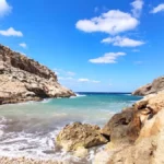
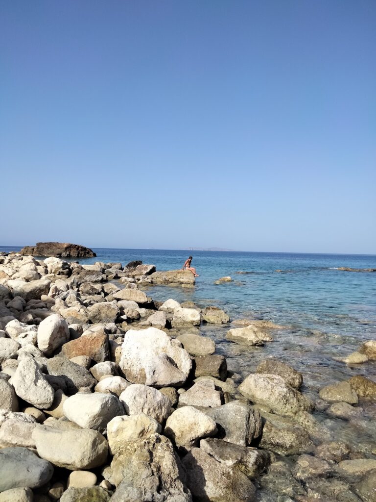
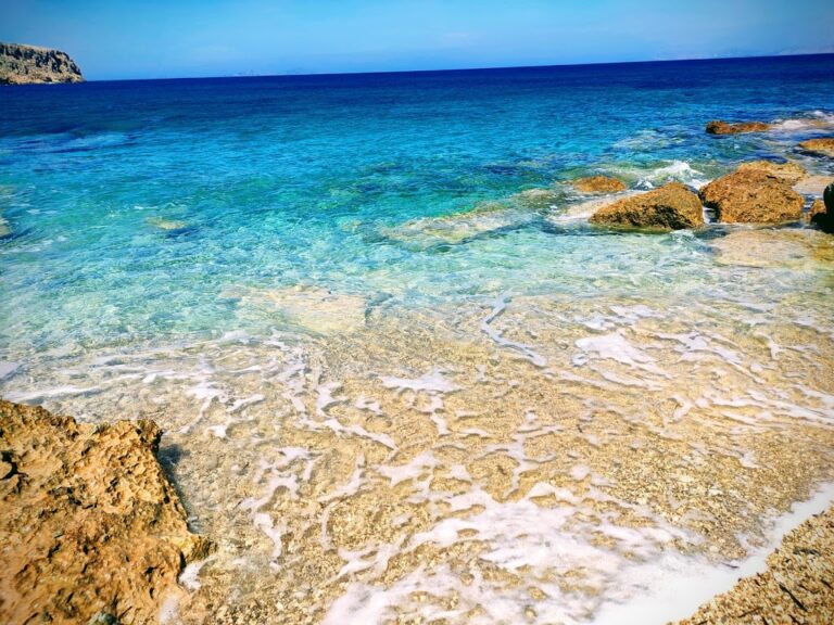
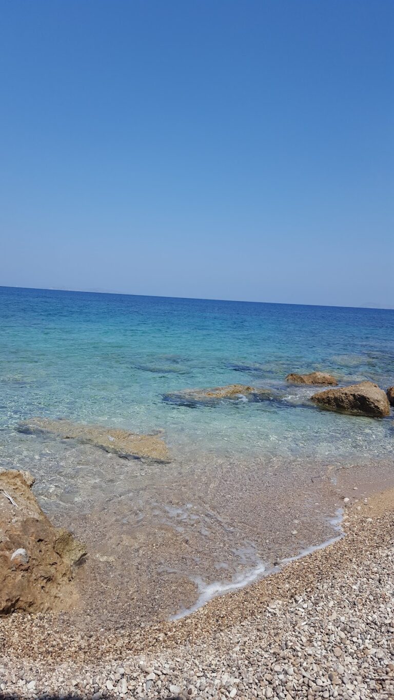
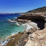
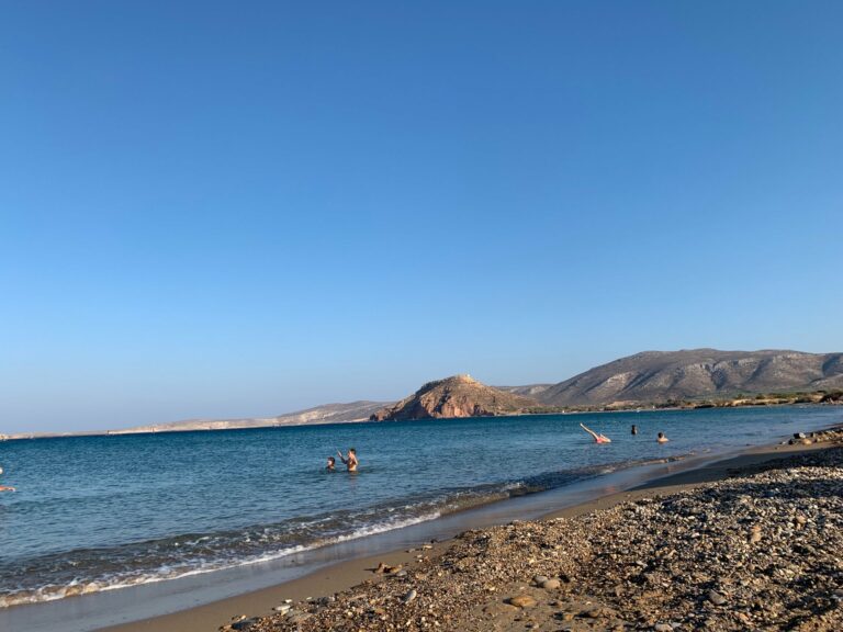
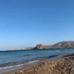
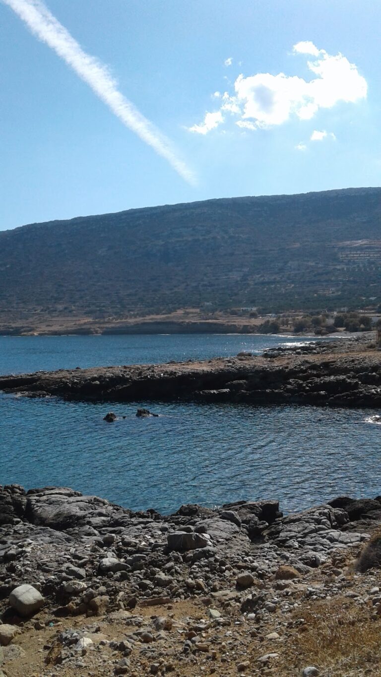
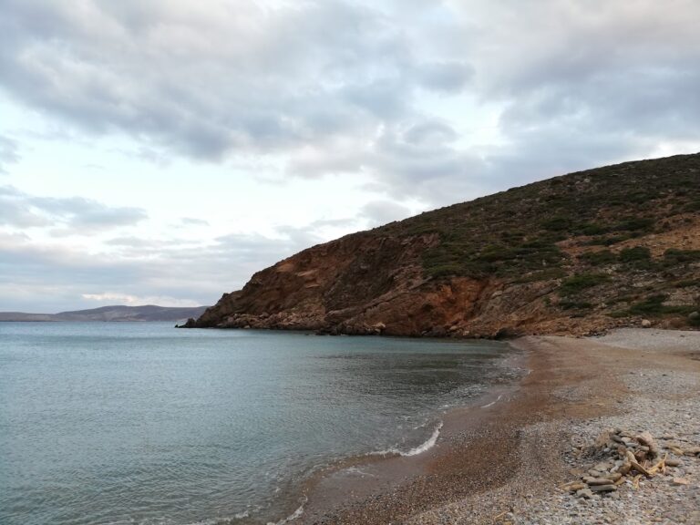
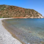
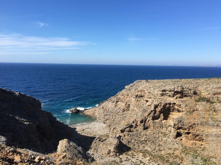
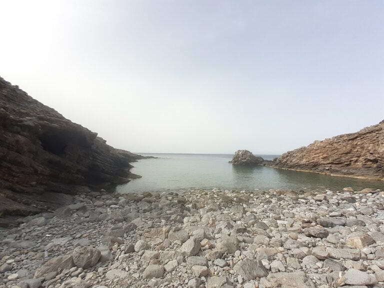
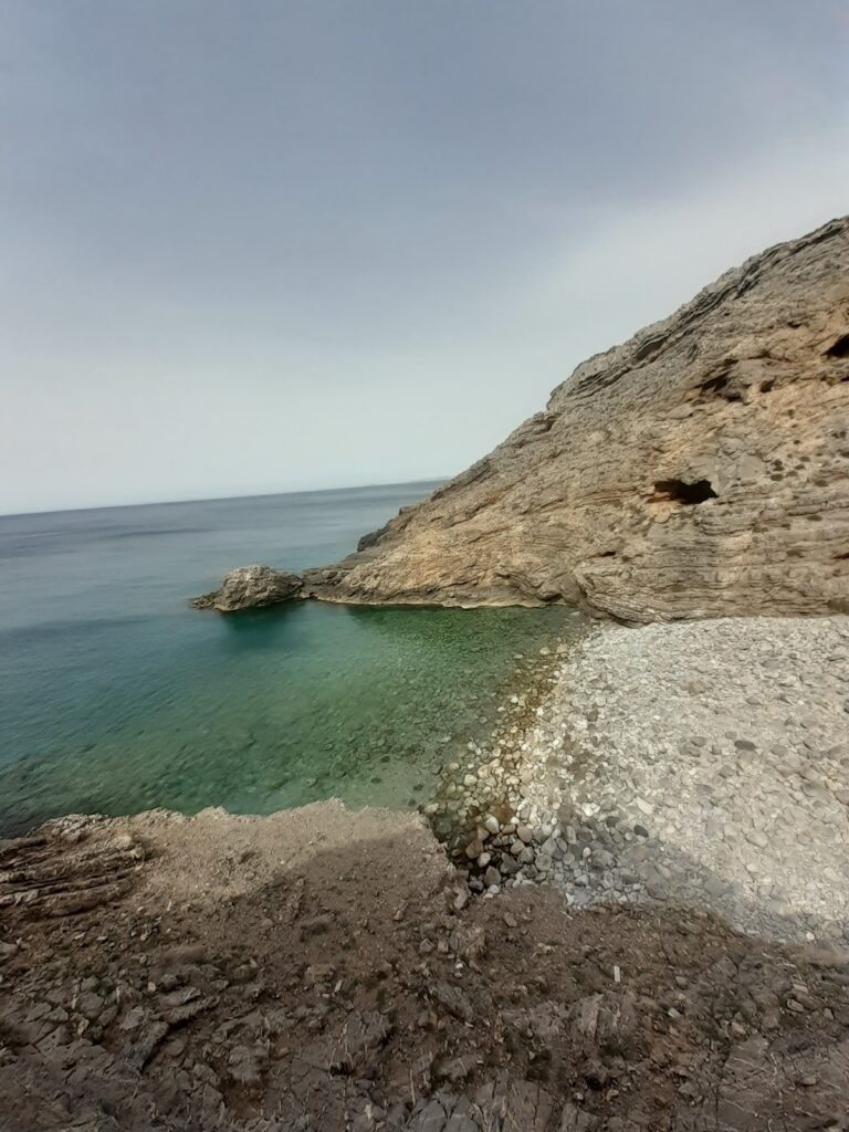
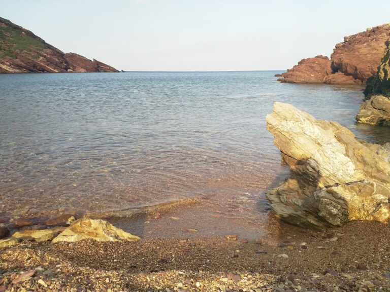
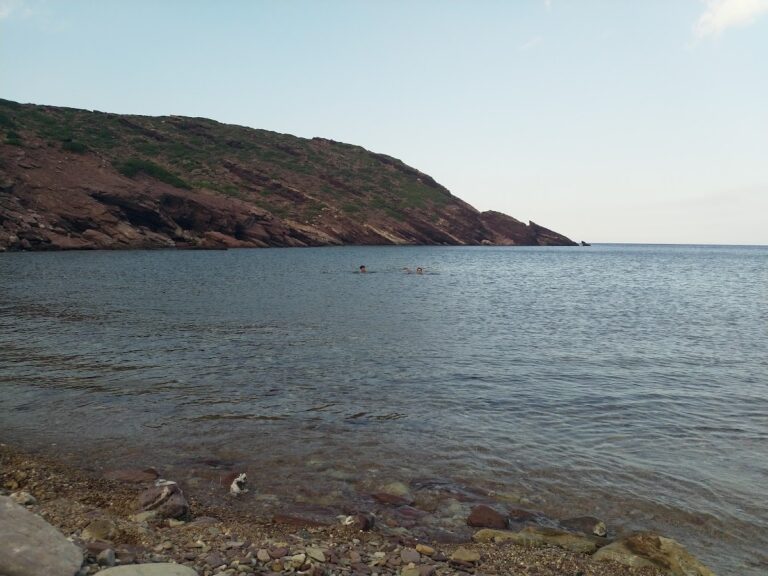
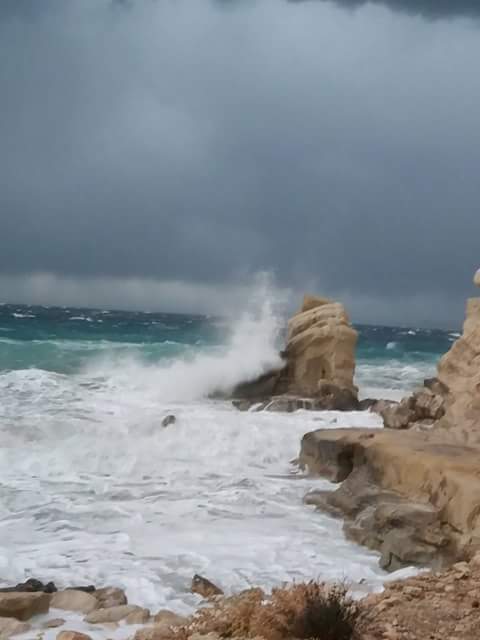
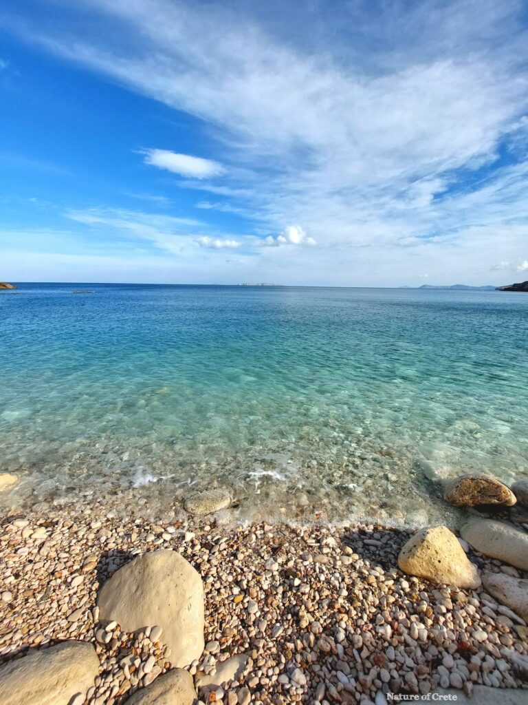
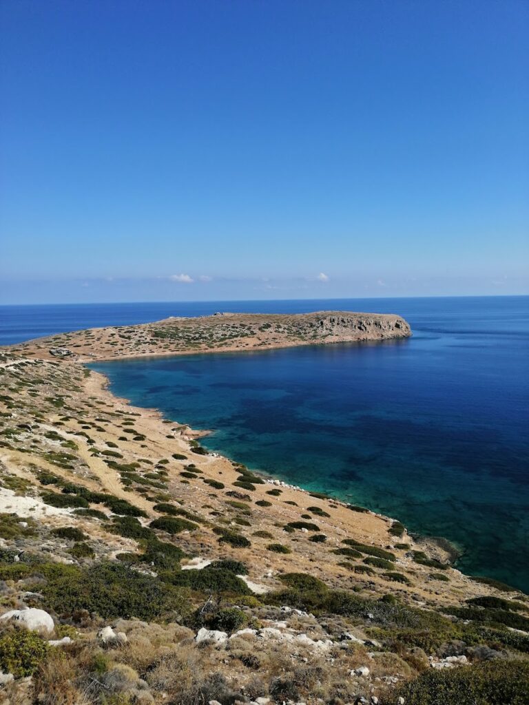
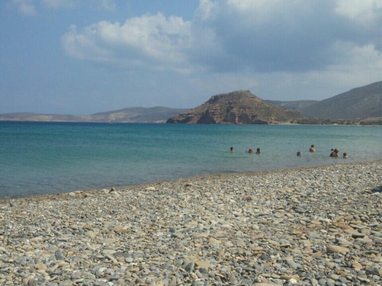
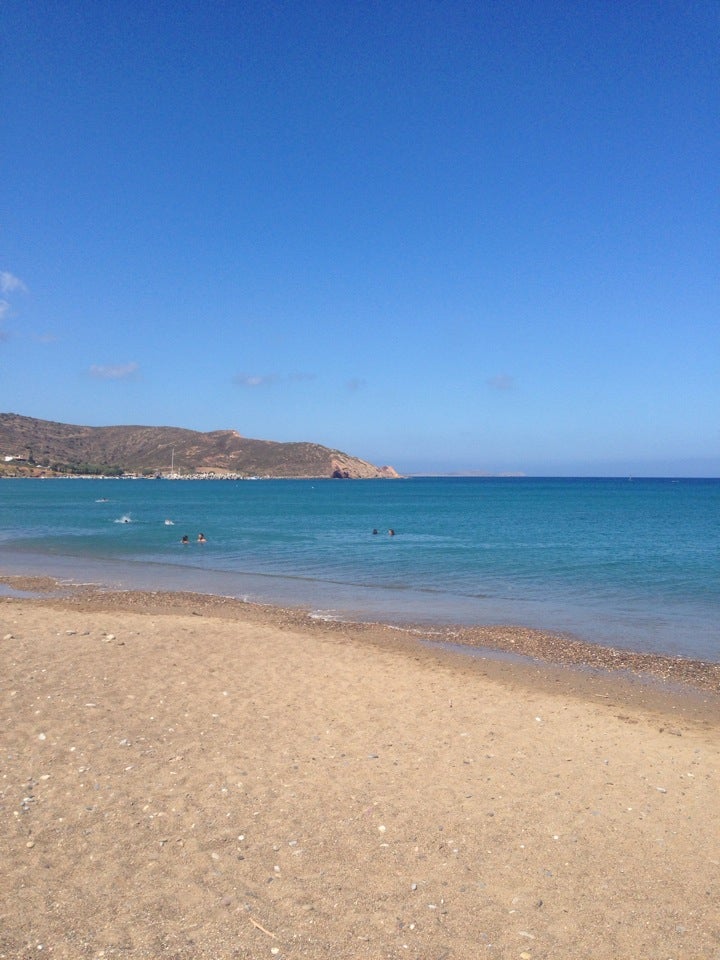
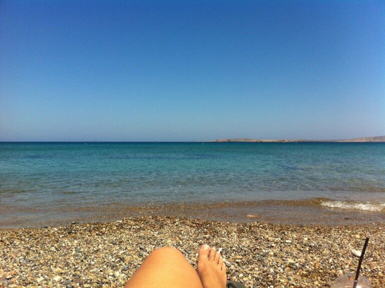
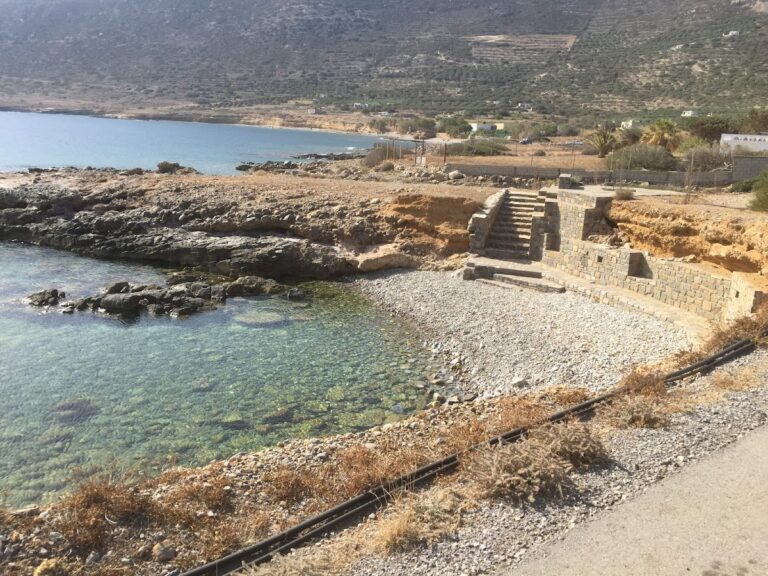
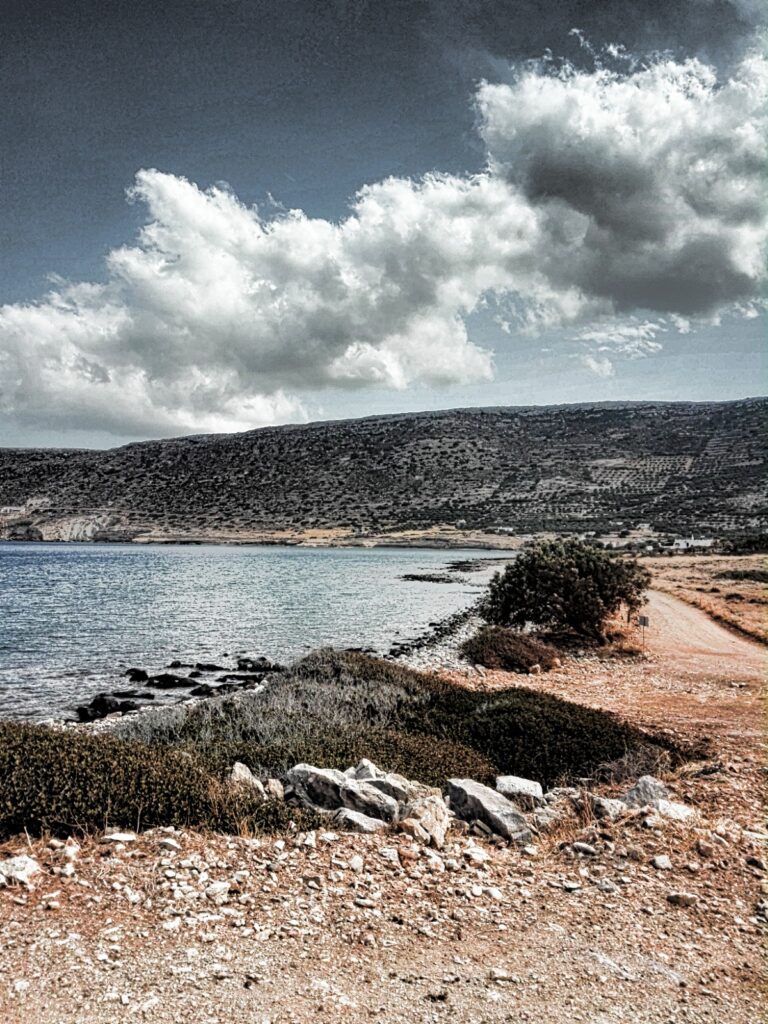
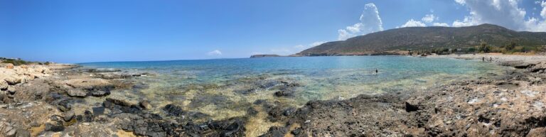
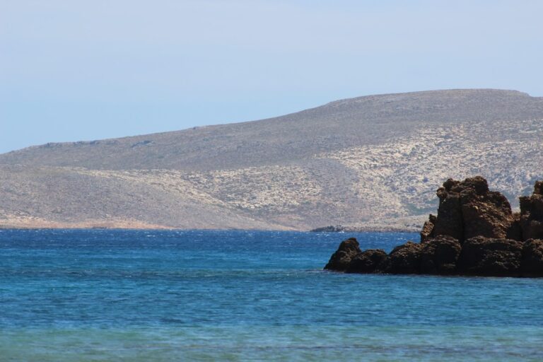
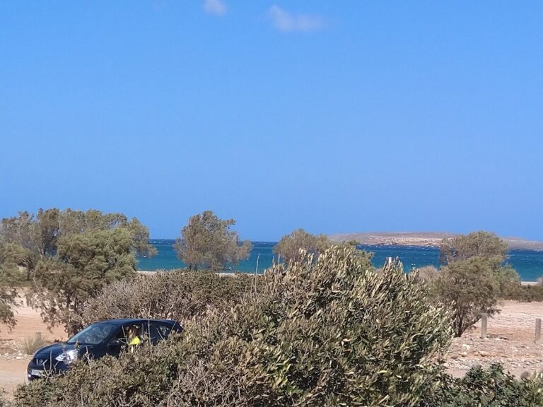
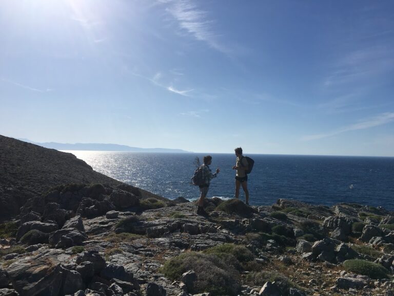
Platani, situated 7km to the west of Sitia and 60km east of Agios Nikolaos on Crete island, can be reached by taking the road to Faneromeni Monastery, which starts near the village of Skopi. Around 2km after Skopi, just before reaching the monastery, you’ll discover two adjacent small pebbly beaches with crystal clear waters.

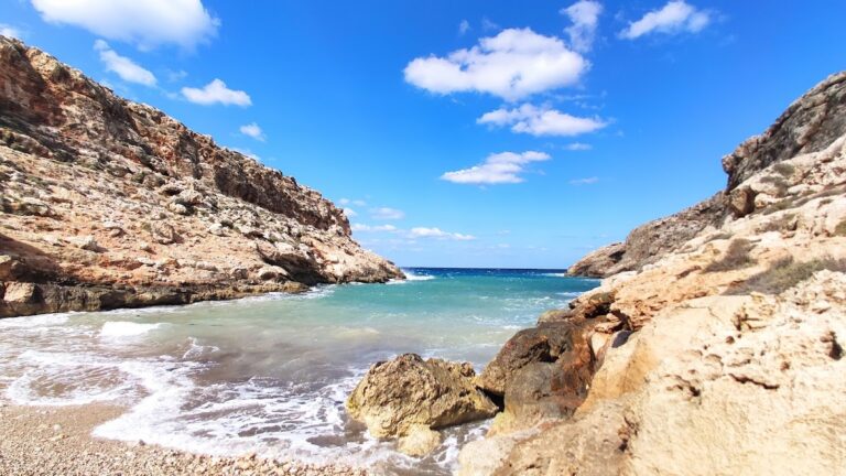
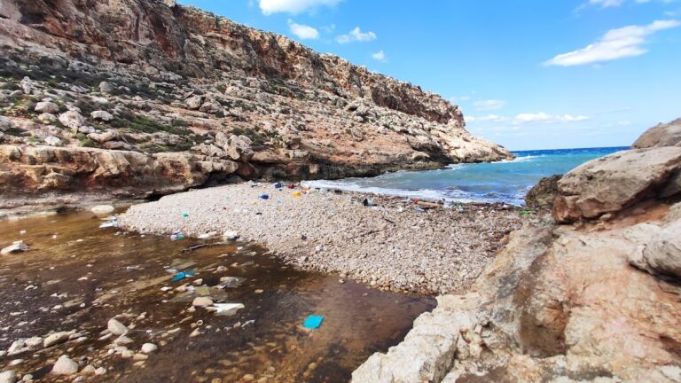
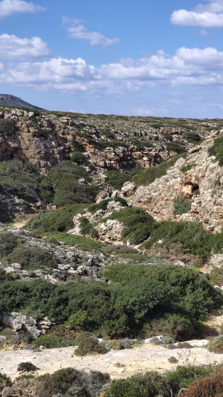
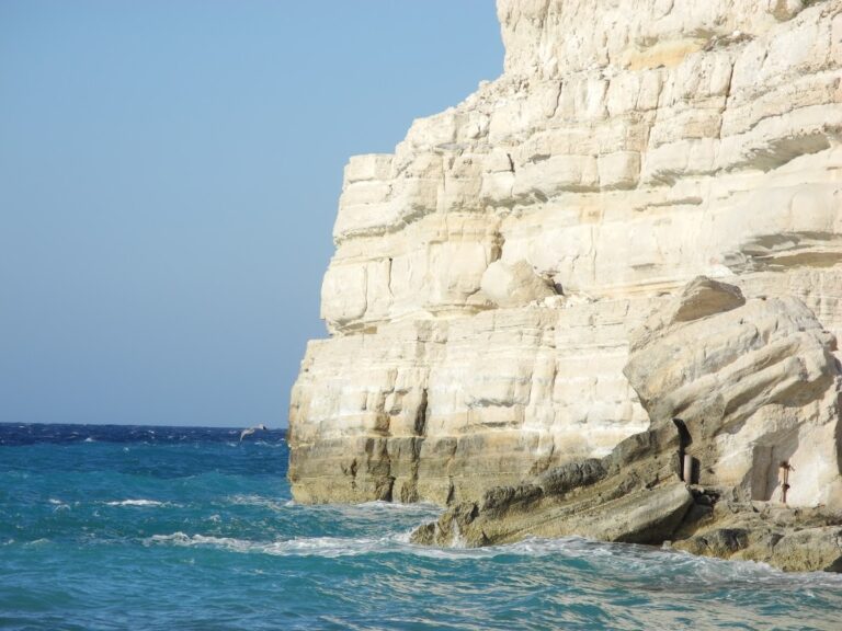
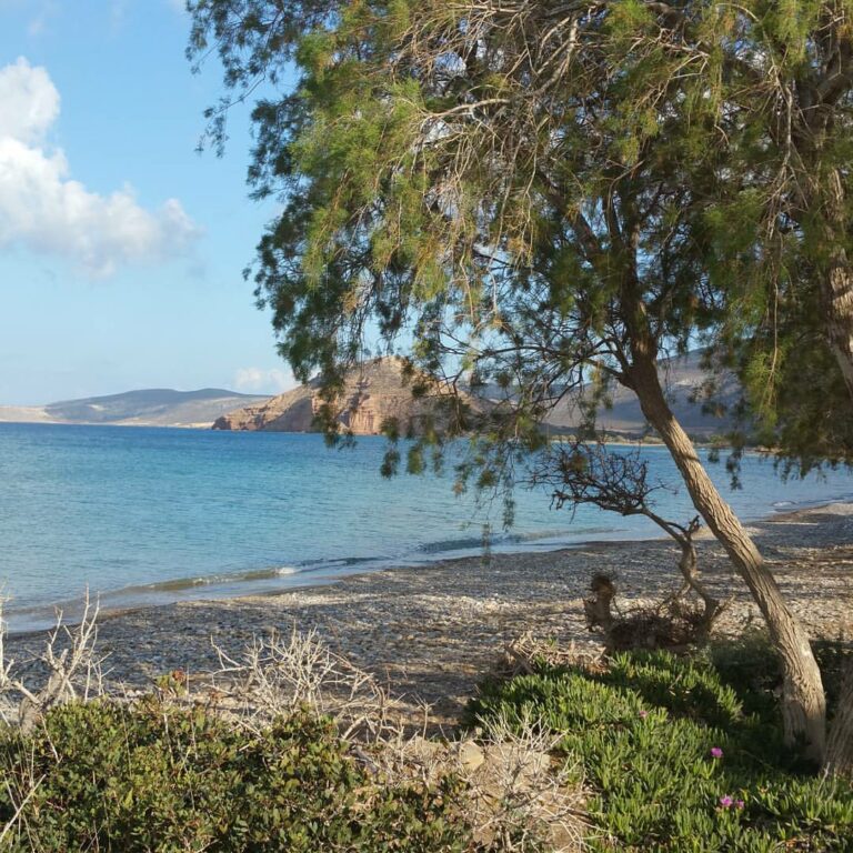
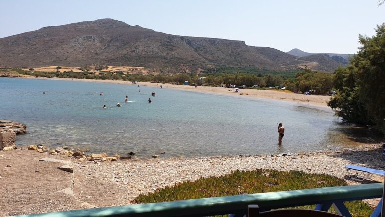
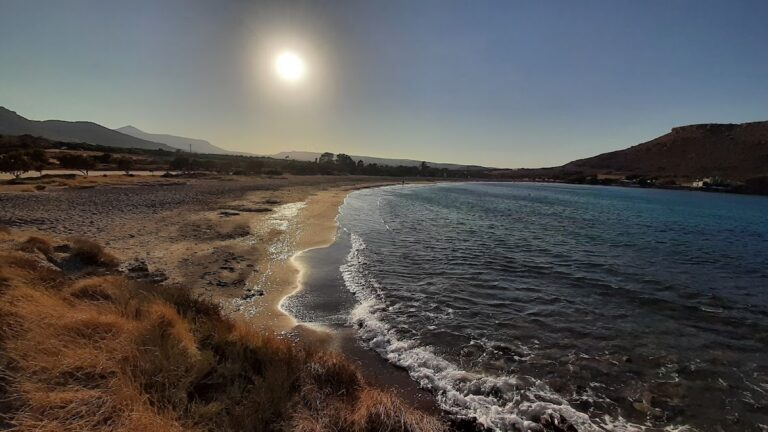
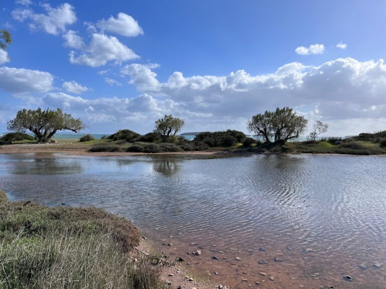
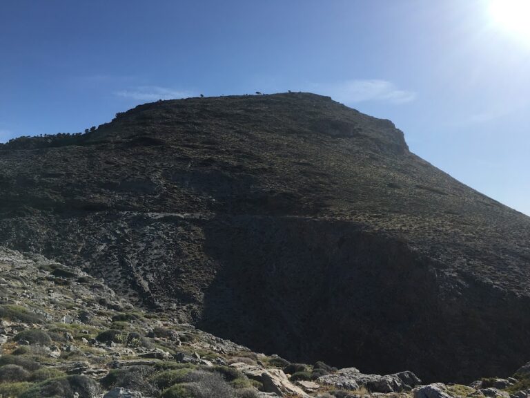
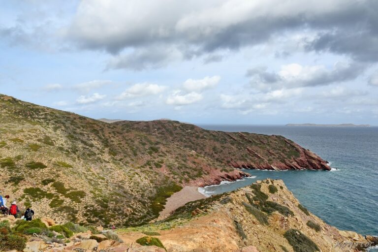
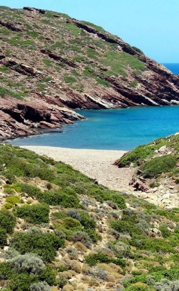
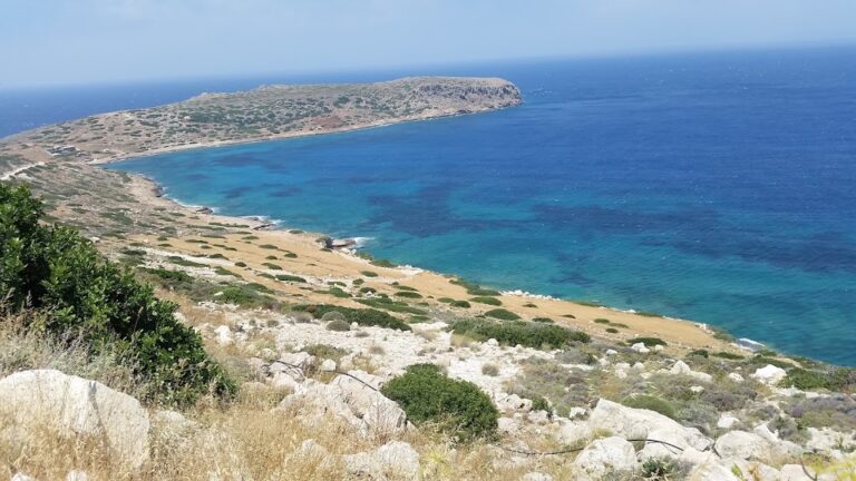
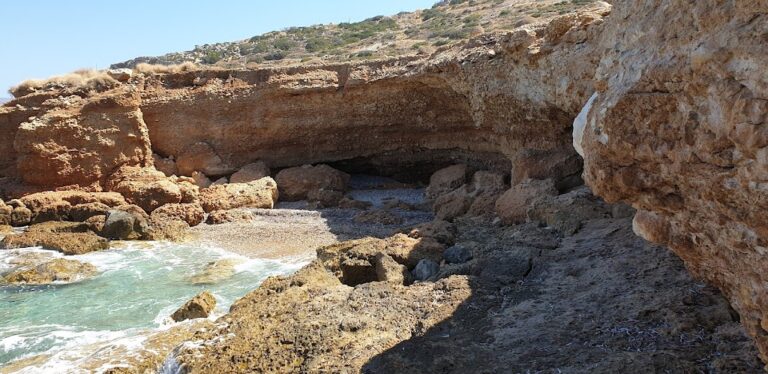
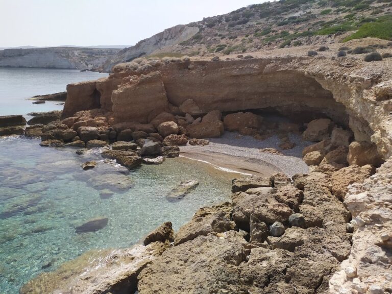
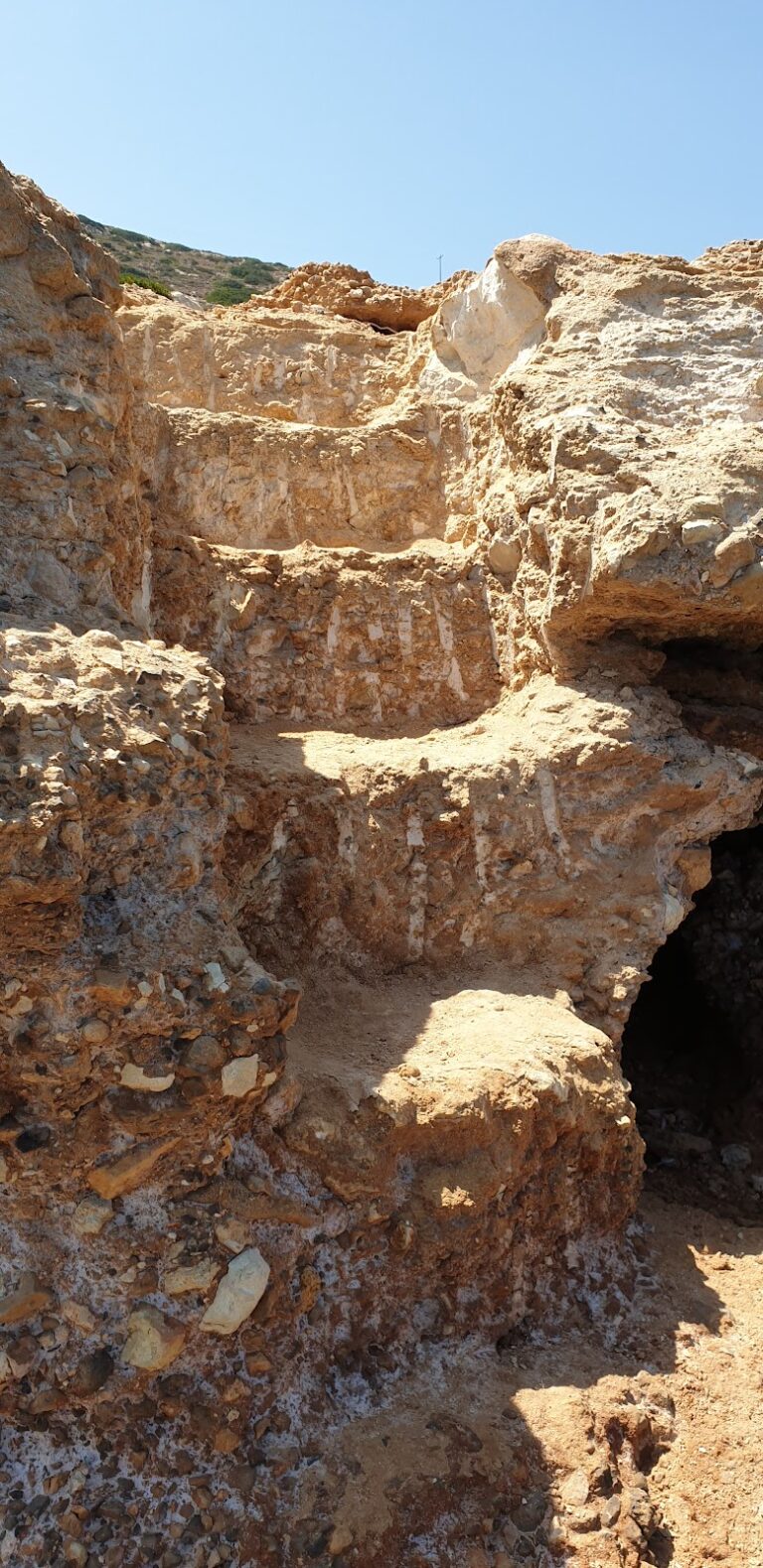
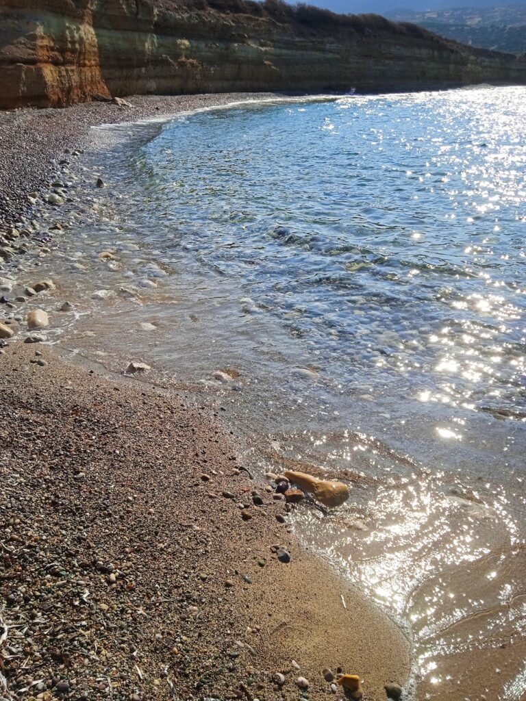
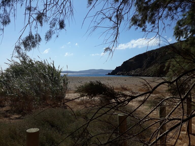
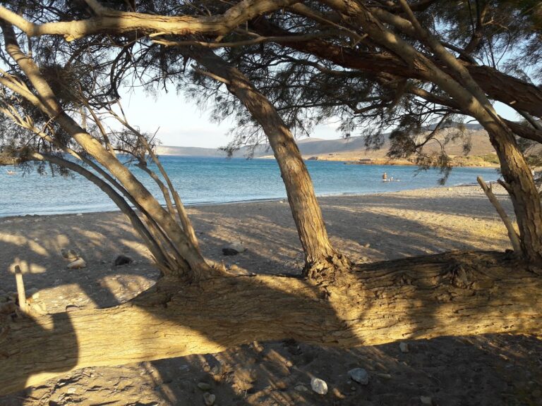
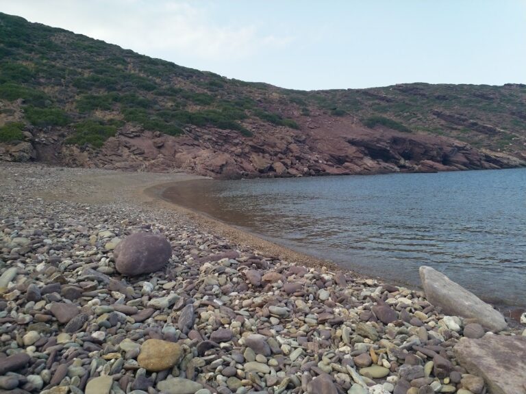
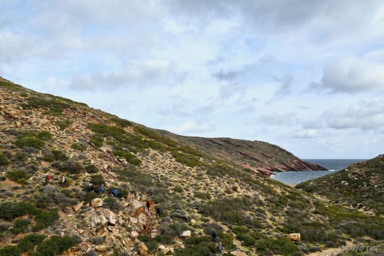
The first beach, known as Agii Pantes, is nestled at the exit of the verdant Agii Pantes gorge, which can be accessed easily by a hiking trail. Limestone formations near the beach, resembling Pleurotus mushrooms, are a sight to behold. The gorge houses two freshwater springs, Koutsounari and Hosto Nero, the latter located inside a cave. During winter, Agii Pantes beach floods and transforms into a significant wetland.

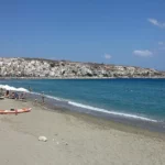
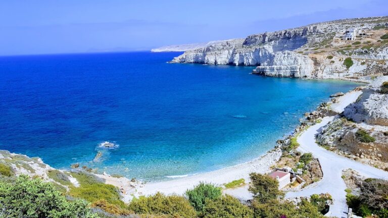
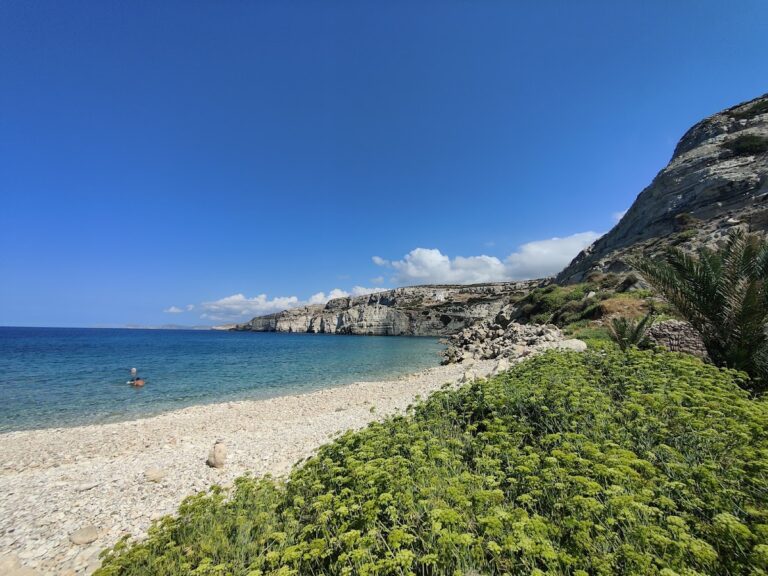
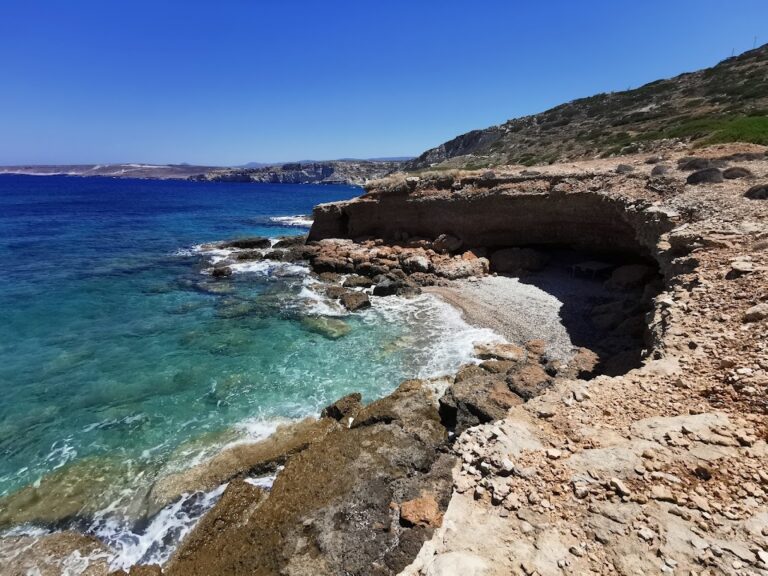
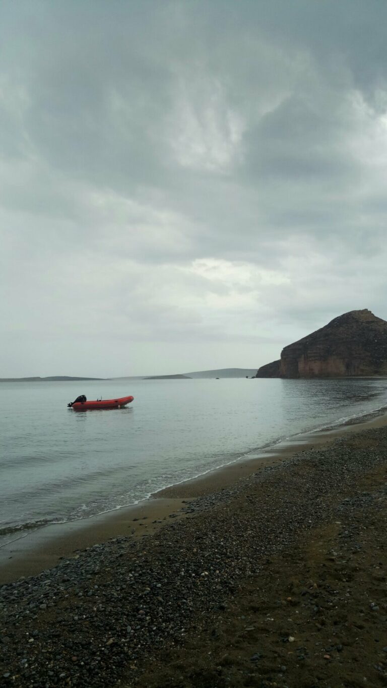
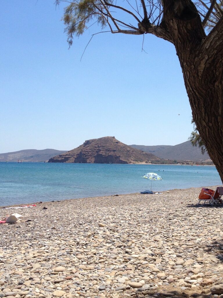
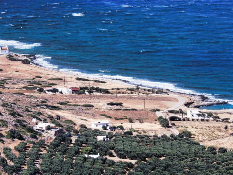
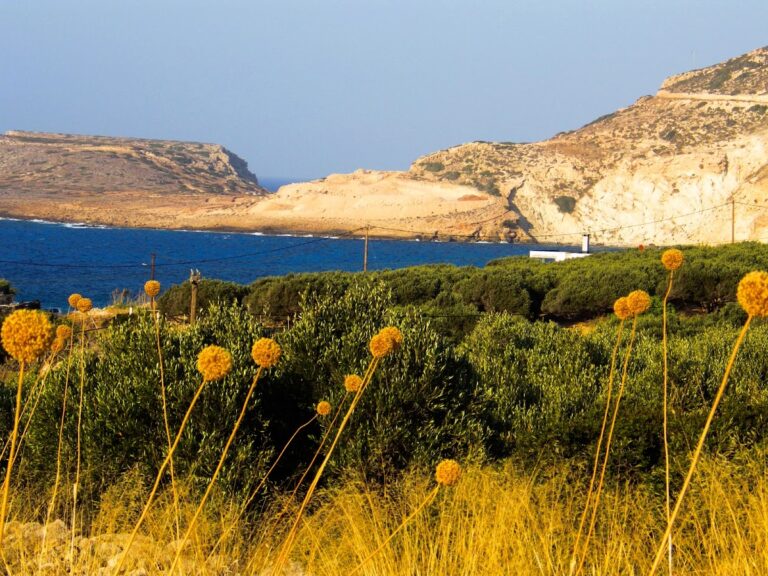
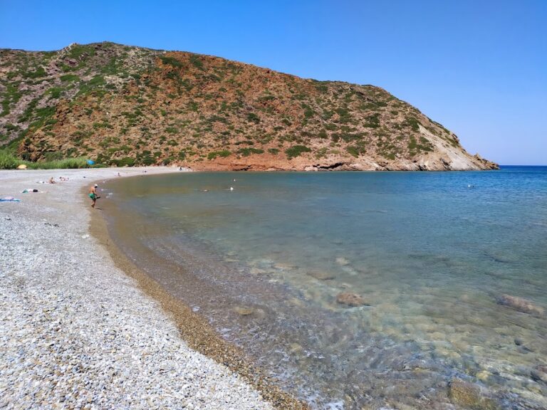
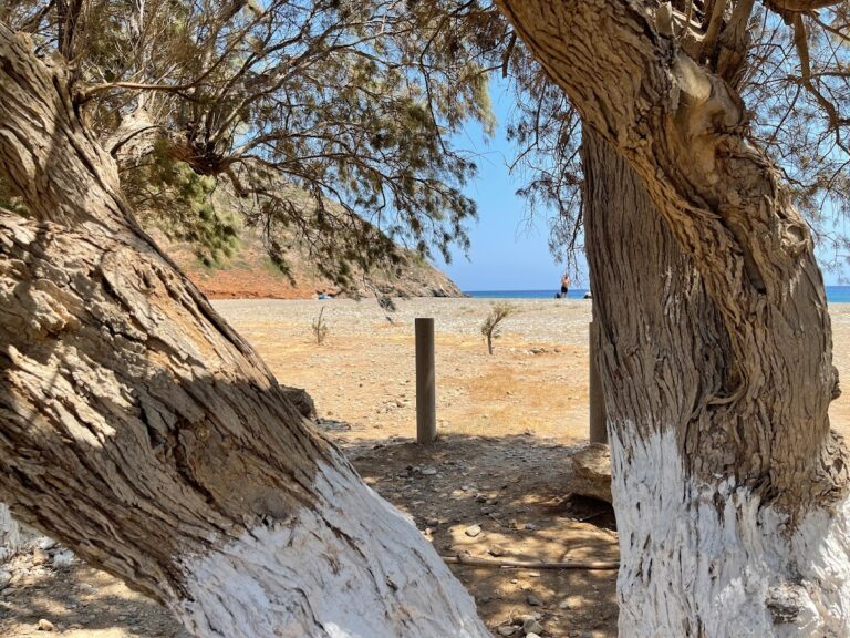
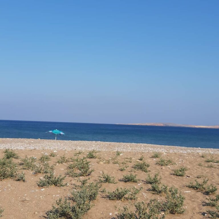
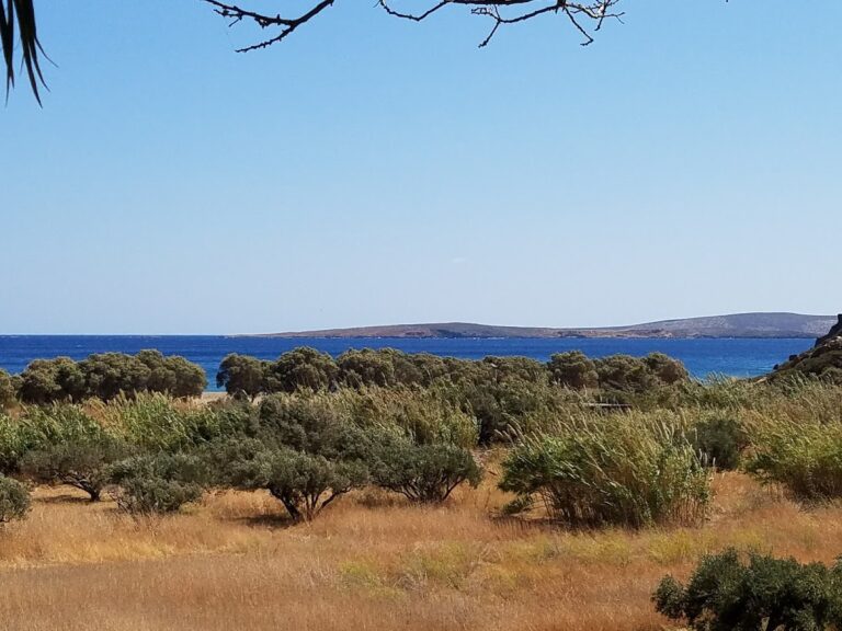
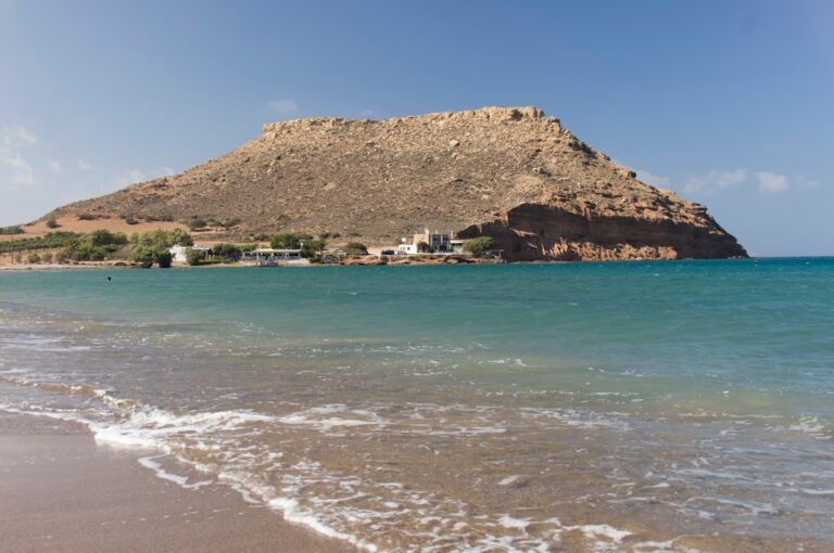
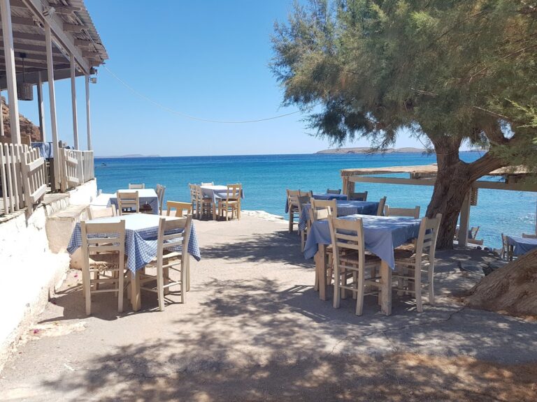
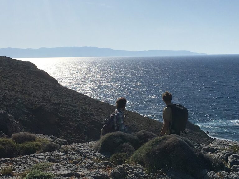
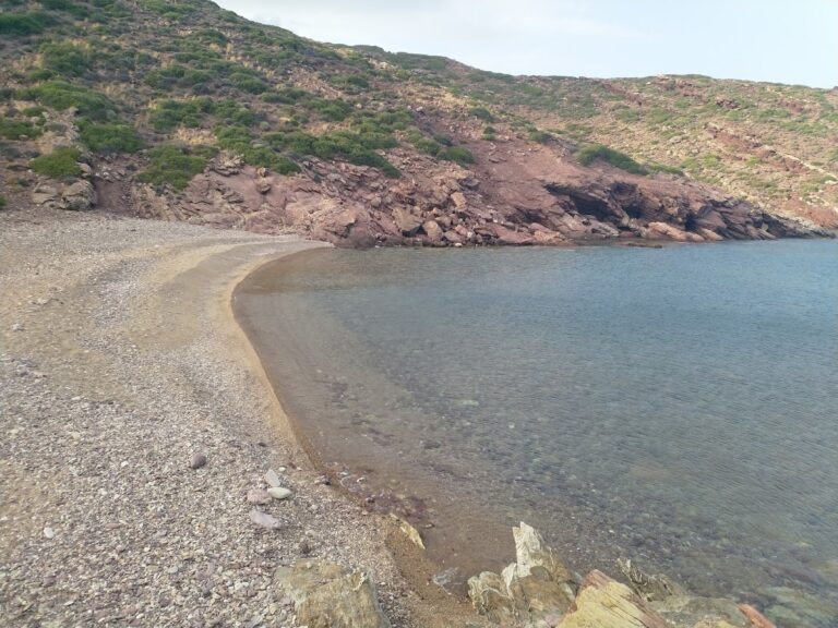
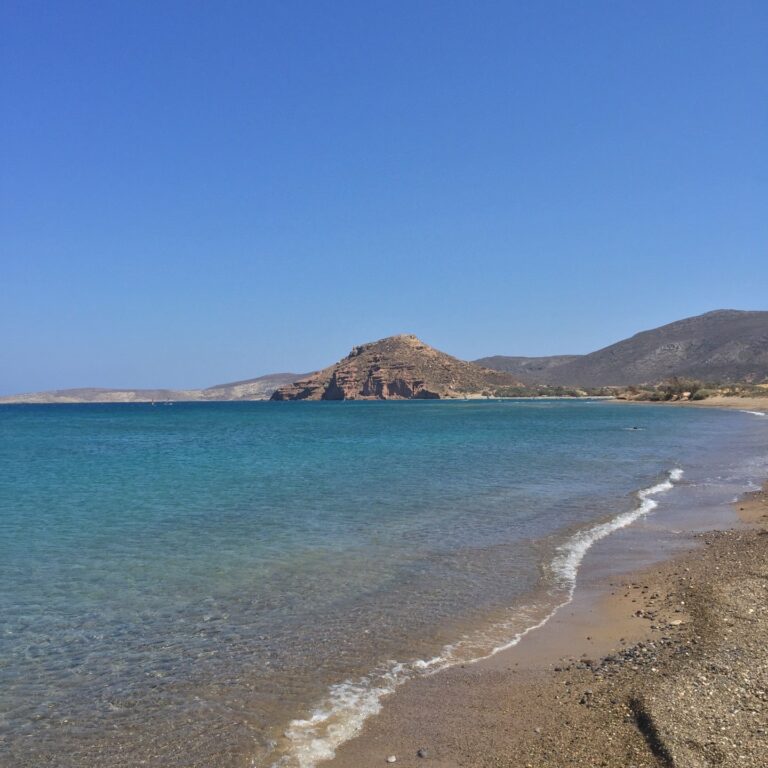
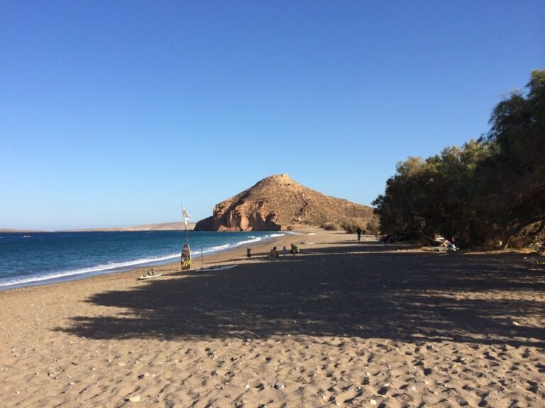
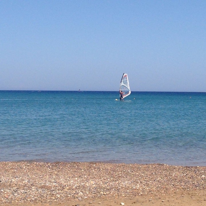
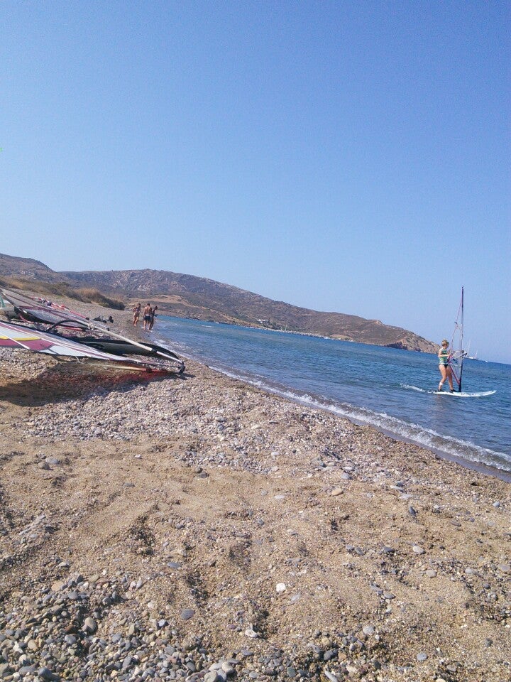
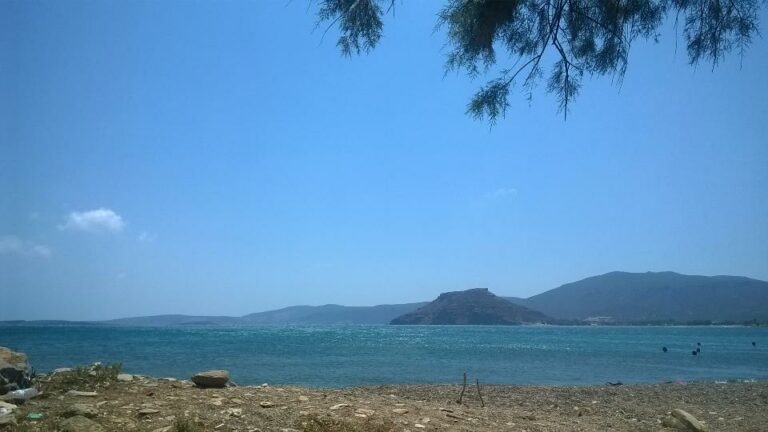
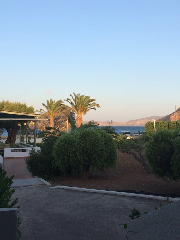
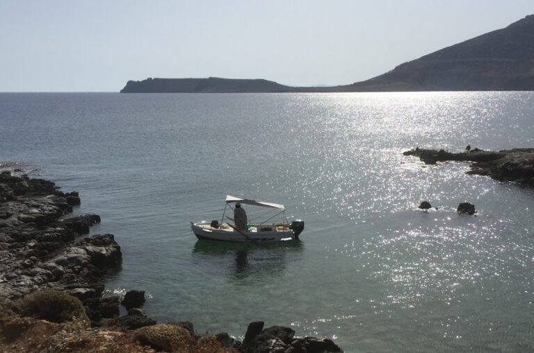
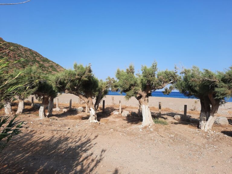
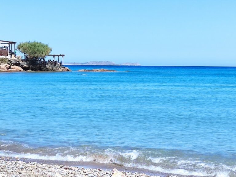
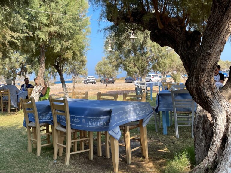
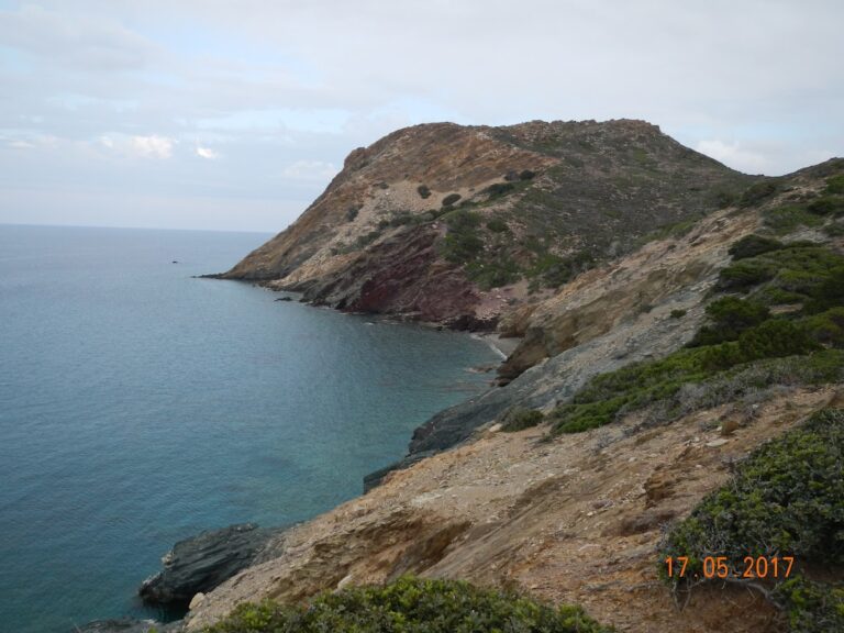
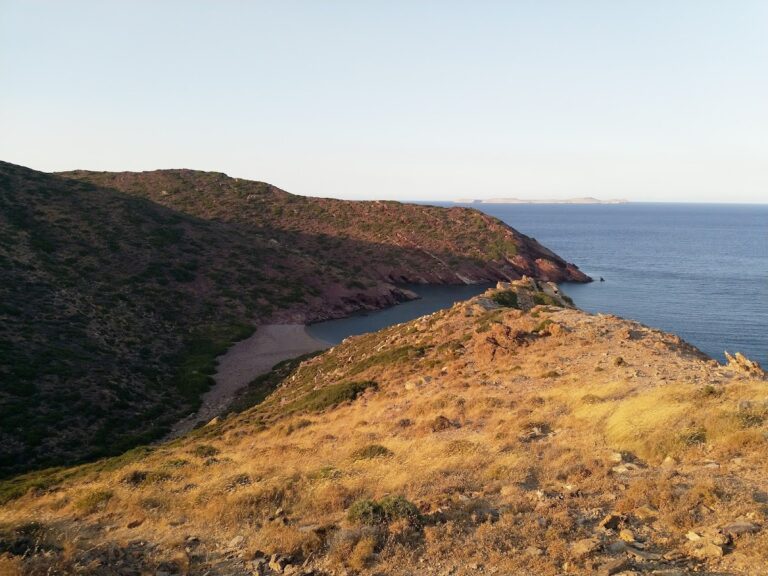
The second beach, Platani, is formed at the exit of another lush canyon that runs parallel to Agii Pantes. The canyon starts from Faneromeni Monastery. The beach is named Platani, which translates to platan tree in Greek, after the platan trees that line the beach. A spring with fresh water is located next to the beach. This undeveloped area is perfect for peaceful solitude and calm swimming. To the west of Cape Trahilos lies Papadiokambos, a spot renowned for windsurfing.

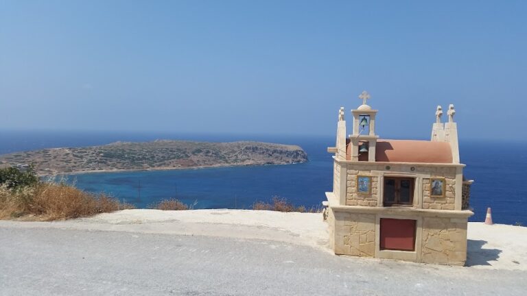
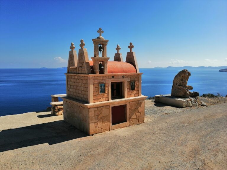
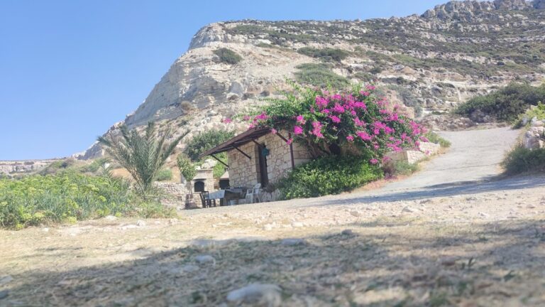
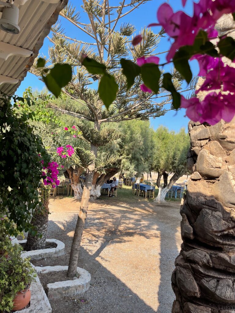
While you’re in the area, it’s worth paying a visit to the Monastery of Panagia Faneromeni, located adjacent to the Platani gorge. The monastery, likely built in the 14th century and renovated in 1624, houses paintings dated to 1455. These were blackened by the destructive raids of the pirate Barbarossa in 1538 and by the Turks in 1829. The monastery’s name, Faneromeni, which means ‘Revealed’, is derived from the image of the Virgin Mary that reportedly “appeared” in a small cave next to the church. Today, the monastery is uninhabited.

  • 8.9 km
  • Trahili bay
  • Pebbles, Rocks in places
  • Deep
  • Deep blue

The sea around Papadiokambos is frequently choppy, which makes the eastern side of the Trahili peninsula, just east of the settlement, an ideal alternative for swimming. The stubby cape shields against the waves, resulting in tranquil, azure-blue waters. Initially, it may seem as though there is only a rocky shoreline without a beach. However, there’s a hidden, modest beach, accessible by a dirt road, named Gaidaros (meaning Donkey), as seen on the map. Gaidaros is the sole natural beach in the extensive region between Kalavros and Sitia town that boasts consistently calm waters.

  • 10.9 km
  • Kouremenos beach
  • Sand
  • Shallow
  • Blue

Kouremenos, situated 91km east of Agios Nikolaos and 21km east of Sitia, is just a kilometer east of the quaint town of Palekastro. Palekastro offers a wider variety of accommodation, dining, and entertainment options, but there are also several new hotels near the beach for your convenience. The beach itself is the longest in the region, stretching over 1.5km and framed by Cape Tenta to the north and Cape Plaka to the south. With its fine brown sand, shallow turquoise waters, and abundant tamarisk trees, it’s a stunning location. Amenities such as umbrellas, showers, and beach bars are available in certain areas.

The real allure of Kouremenos, though, is the strong wind that constantly sweeps the area, making it a hotspot for windsurfers and kite surfers from all over Europe. This is why it’s home to some of Greece’s largest wind turbine parks.

Windsurfing at Kouremenos is an experience not to be missed. A windsurfing school operates on the beach, offering equipment rentals at reasonable prices. The Meltemi, or northwest summer wind, is particularly strong here due to local thermal and funnelling effects, creating ideal conditions for windsurfing with an average wind force of around 6 Beaufort during the summer season.

The beach is suitable for windsurfers of all skill levels. The flat, shallow waters near the coast are perfect for beginners, while further out, the small waves provide a challenge for more experienced surfers. There’s also a rocky area at the northern end of the beach where experts can show off their skills. The local school has even installed buoys to indicate the entry point.

  • 10.9 km
  • Papadiokambos beach
  • Pebbles, Rocks in places
  • Deep
  • Blue, Deep blue

Situated 12km west of Sitia and 59km east of Agios Nikolaos, Papadiokambos nests near the Faneromeni Monastery in the Skopi area, just west of Cape Trahilos. Reachable via a well-maintained dirt road, Papadiokambos is home to a long beach scattered with large stones and rocks. You will find a few bays formed with pebbles where swimming is possible. The beach is secluded, so it’s likely you’ll have it all to yourself. However, it’s worth noting that amenities are scarce, so bring your own supplies. Strong winds and large waves discourage most visitors, making it an ideal spot for windsurfing enthusiasts, even in winter. Known as Faneromeni among windsurfers, Papadiokambos is renowned as one of Greece’s prime locations for wave sailing, a thrilling aspect of the sport. The area is characterized by strong currents, large waves reaching 3-4m high, and virtually no beach. Some spots can be hazardous, requiring caution and advanced level skills to avoid damaging your equipment on the rocks.

The beach also houses an excavated Minoan fisherman’s house, a small structure that has provided significant insight into Minoan dietary habits.

  • 11.6 km
  • Maridati beach
  • Pebbles
  • Normal
  • Blue, Deep blue

Maridati, nestled in the verdant valleys of Palekastro, is a stunning pebbly beach. It’s situated 90km to the east of Agios Nikolaos, 21km east of Sitia, and 5km to the north of the renowned Kouremenos windsurfing beach. The beach, rather short in length, is encompassed by two rocky capes. This secluded spot offers a peaceful escape from the bustling crowds, perfect for a tranquil swim.

Not far from the beach, about 50 meters away, you’ll find a small wetland filled with fresh water that serves as a haven for various bird species. You’ll also come across several tamarisk trees in the vicinity.

In historical times, the springs and torrent of Maridati used to draw the attention of Venetian ships.

Reaching Maridati by car from Palekastro is straightforward. Take the road to Vai and look out for a sign to Maridati on your right, approximately 5km from Palekastro. From there, you’ll need to navigate a 1.5km dirt track. Despite its rough terrain, the path is in good condition and the breathtaking beauty of Maridati is well worth the journey!

  • 11.6 km
  • Hiona beach
  • Sand
  • Shallow
  • Blue

Situated 91 km east of Agios Nikolaos, 22km east of Sitia, and 2km east of the quaint town of Palekastro, Chiona is a beautifully serene sandy beach. Its pristine white sand and crystal-clear shallow blue waters make it a popular spot despite its relatively small size.

The name ‘Chiona’ translates to ‘carob storehouse’ in the local Cretan dialect, a nod to the storage facilities that were typically built near Cretan beaches for transferring carobs via ship due to the lack of roads. Indeed, the area was traditionally known for its carob trade.

Visitors to Chiona can enjoy a perfect day out, especially when combined with a meal at the renowned local fish taverns. While the beach offers minimal facilities (primarily near the taverns), there are tamarisk trees along the coast that provide a respite from the sun. To the east of the main beach, several secluded coves offer a peaceful spot for swimming, including the first sandy beach, Bondalaki, which is possibly the best in the entire area.

From Chiona, one can spot the small Grandes islands. Just beside the beach, in the location of Roussolakkos, the remains of an ancient Minoan port and settlement can be explored. Heading north from Chiona will bring you to the lengthy Kouremenos beach, Crete’s most famed spot for windsurfing. Lastly, a walk to the peak of the hill Kastri, located at the west end of the beach, will reward visitors with stunning views of the sea and the remnants of an old fort.

  • 11.8 km
  • Charkomatas beach
  • Pebbles
  • Deep
  • Deep blue

It’s definitely worth your while to venture west from the Papadiokambos settlement, particularly on those seldom windless days. You might consider parking your car roadside, bypassing the wire fence, and taking a brief 2-minute stroll to the mouth of the gorge that stretches from the Liopetro region to the stunning Charkomatas beach, located near Roussa Limni. The breathtaking formations of the Charkomatas gorge, carved from layers of limestone, are sure to leave a lasting impression.

  • 11.8 km
  • Kokinos Kavos beach
  • Fine Pebbles, Pebbles
  • Normal
  • Blue

As a resident of Crete Island, if you venture north of Maridati along the rugged coastline until you reach the Vai palm grove, you’ll discover a number of isolated, small coves. These hidden gems can only be reached either by boat or a 2:30-hour hike on foot. The initial beach you encounter goes by the name of Kokkinos Kavos, or Red Cape, a moniker it acquired due to the area’s reddish rocks. The beach features a mix of sandy and pebbly patches along its seabed.

© All rights reserved. Crete Locals