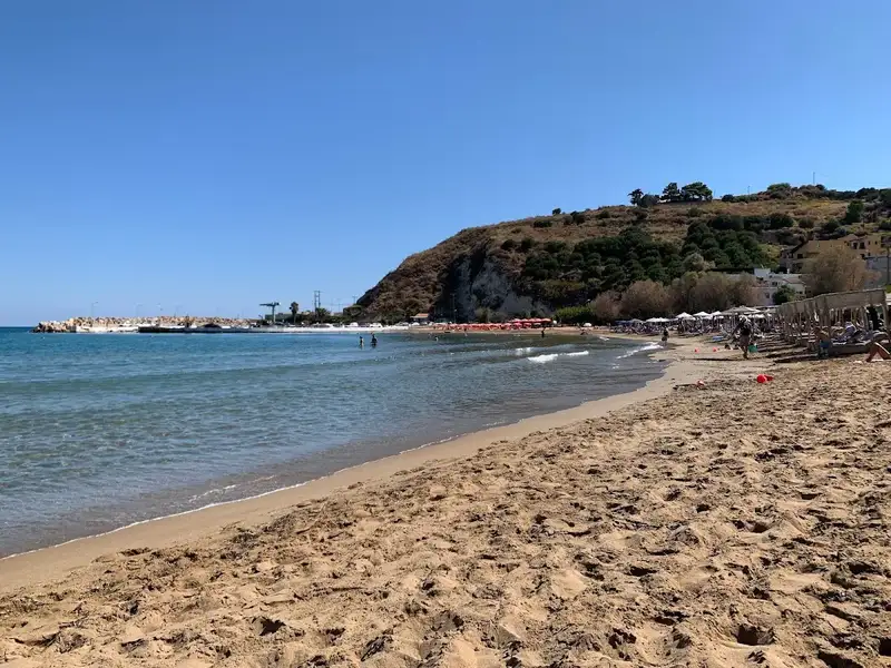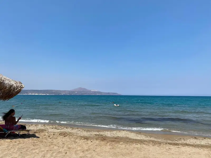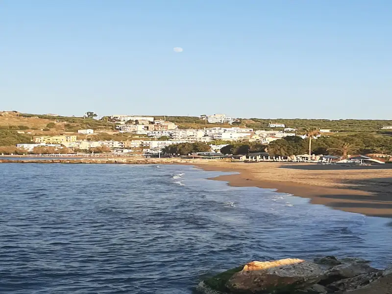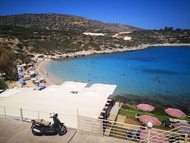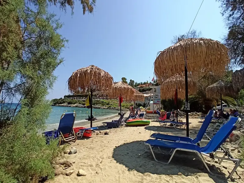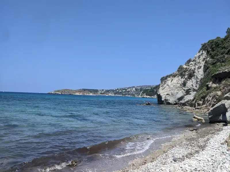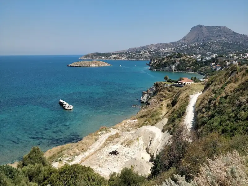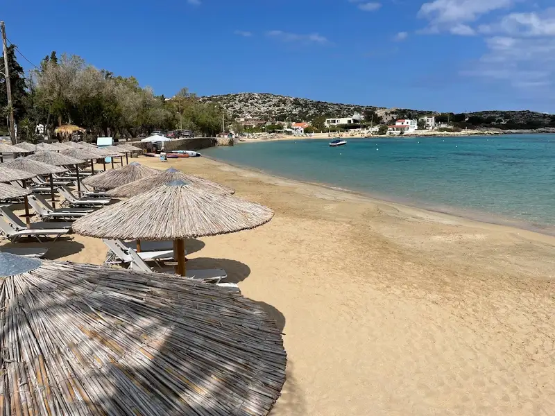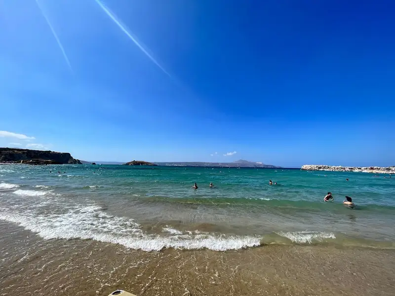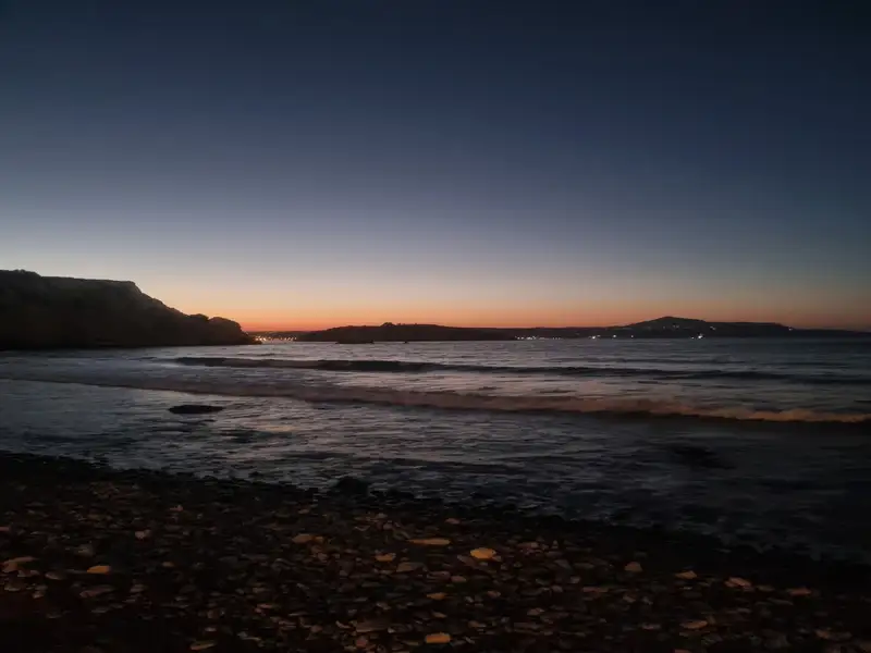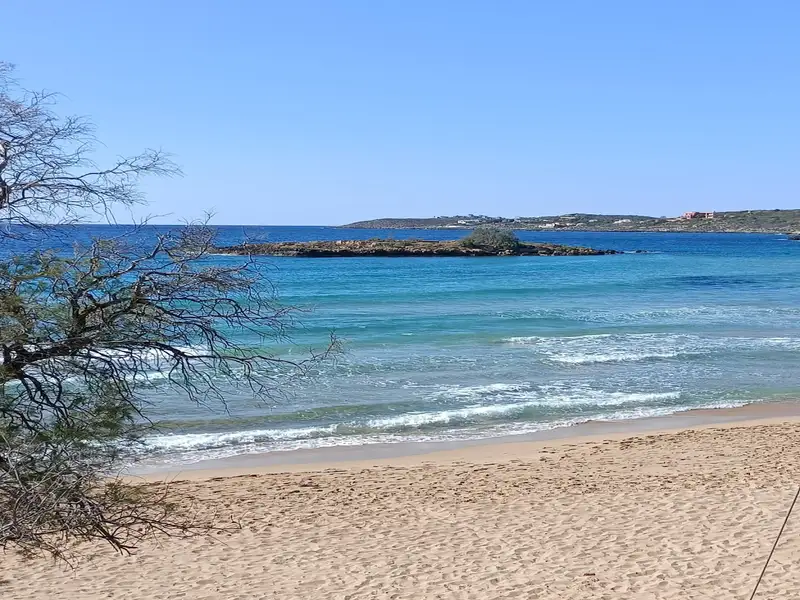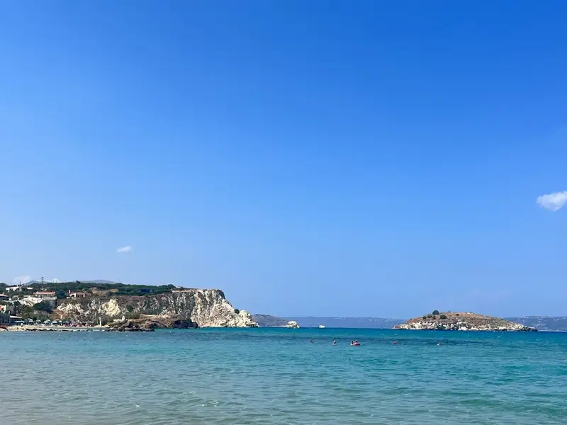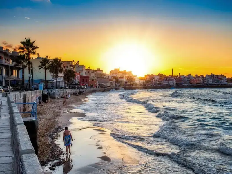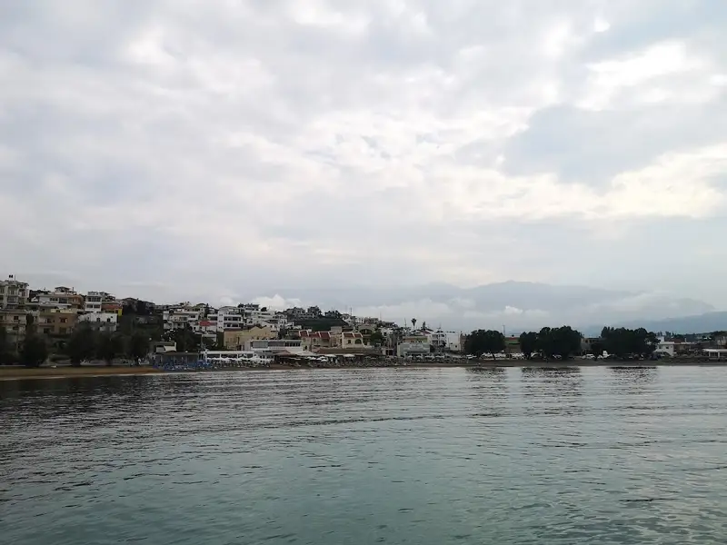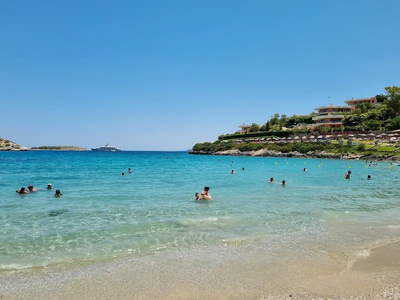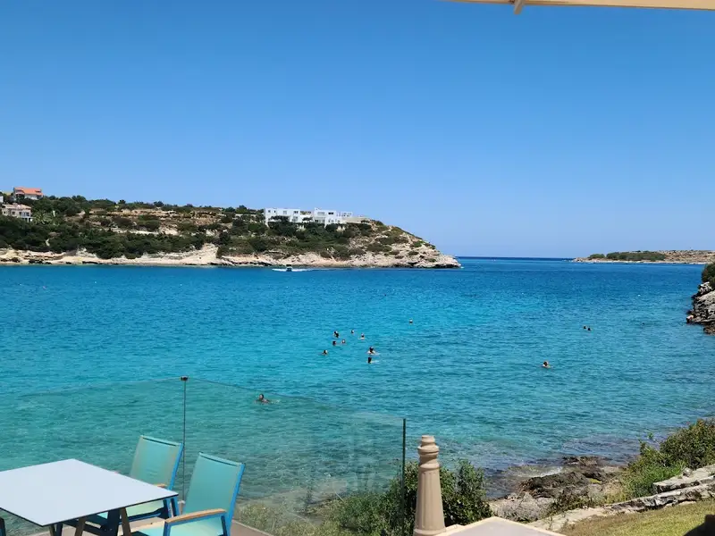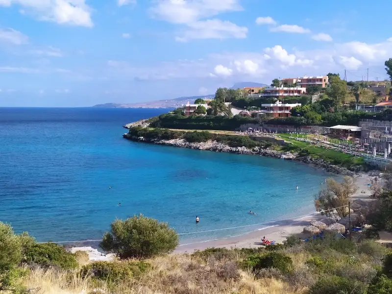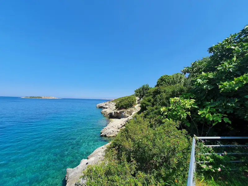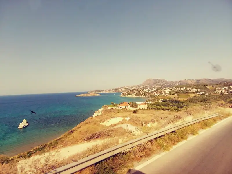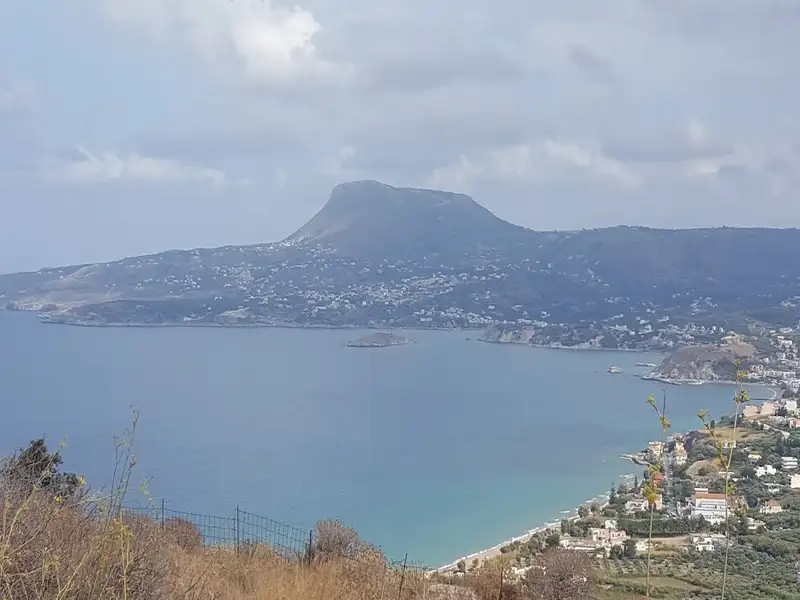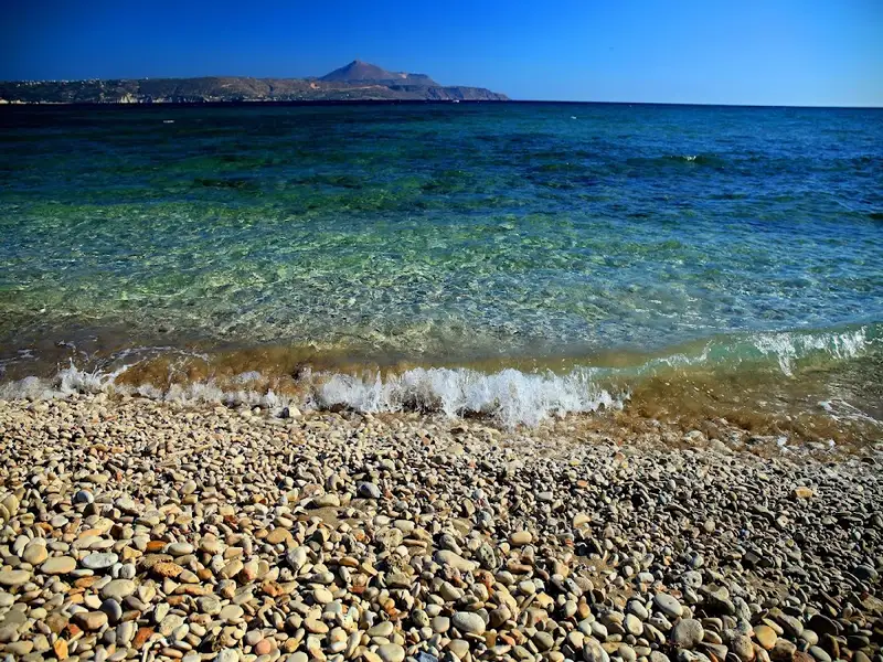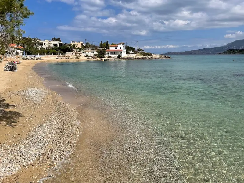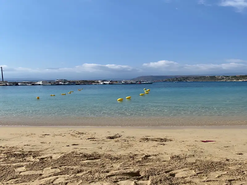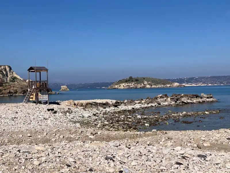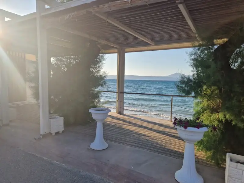
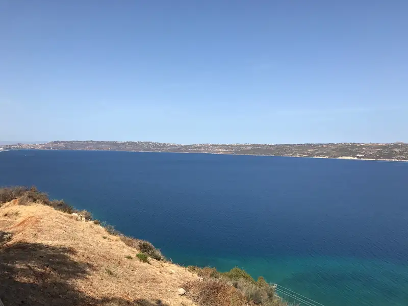
The village of Kalami is situated 15km to the east of Chania city, nestled on the southern shore of Souda Bay and in close proximity to Megala Chorafia village. It boasts a breathtaking panorama of the bay and Souda fort. Moreover, it’s near the ancient city of Aptera and the Turkish forts of Intzedin and Aptera.
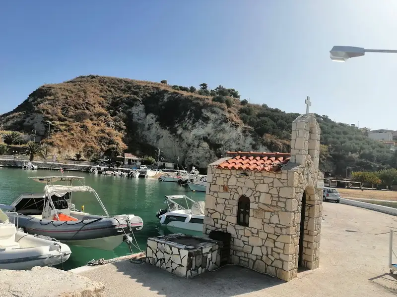
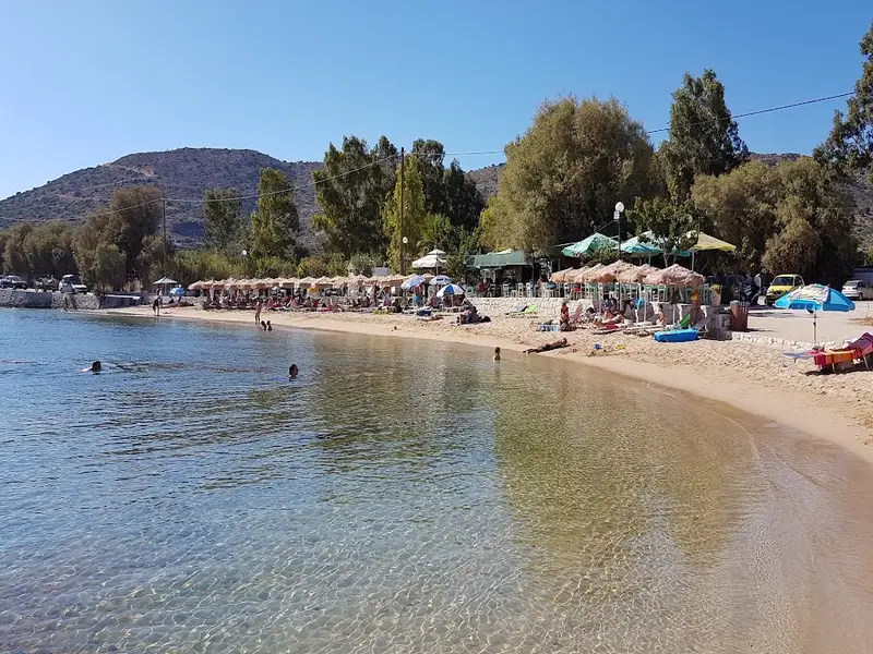
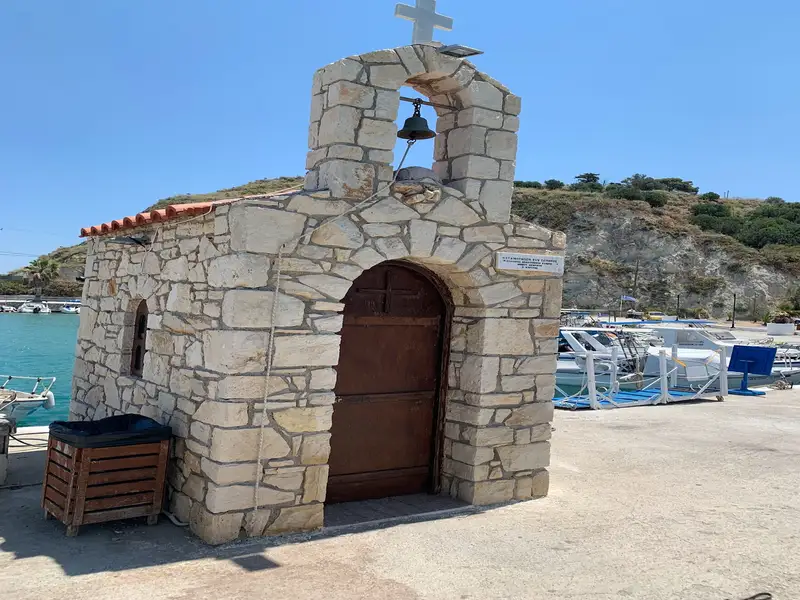
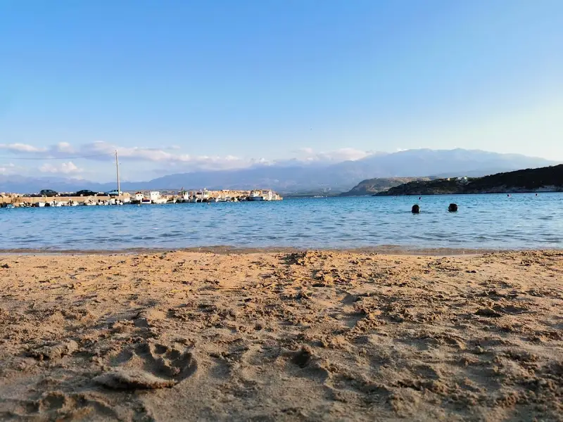
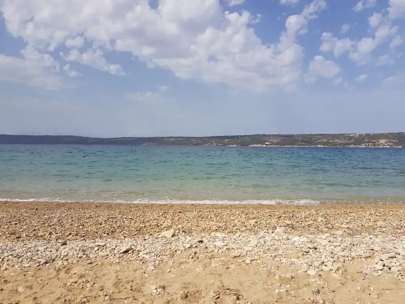
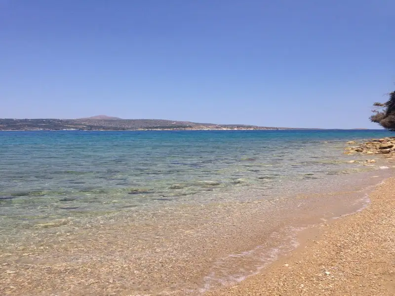
A mere 500m north of the village, a delightful beach adorned with rounded pebbles and deep water is found. At the beach’s east end, there’s a small harbour housing various boats. The beach is a favourite spot among the locals, although it’s yet to be fully organized. There are a handful of umbrellas and tamarisk trees scattered about. The village and the surrounding region offer a few accommodation and dining options.
The coastal resort of Kalives is situated 19km west of Chania, along the southern edge of Souda Bay. This charming village is nestled in a verdant valley where several rivers meander. Its name, which translates to “Huts” in Greek, is thought to have originated from the primitive structures erected by farmers for summer overnight stays. The rivers of Xidas and Mesopotamos flow near the village’s eastern boundary. The combination of these rivers with the sea’s many springs results in a cooler sea temperature.
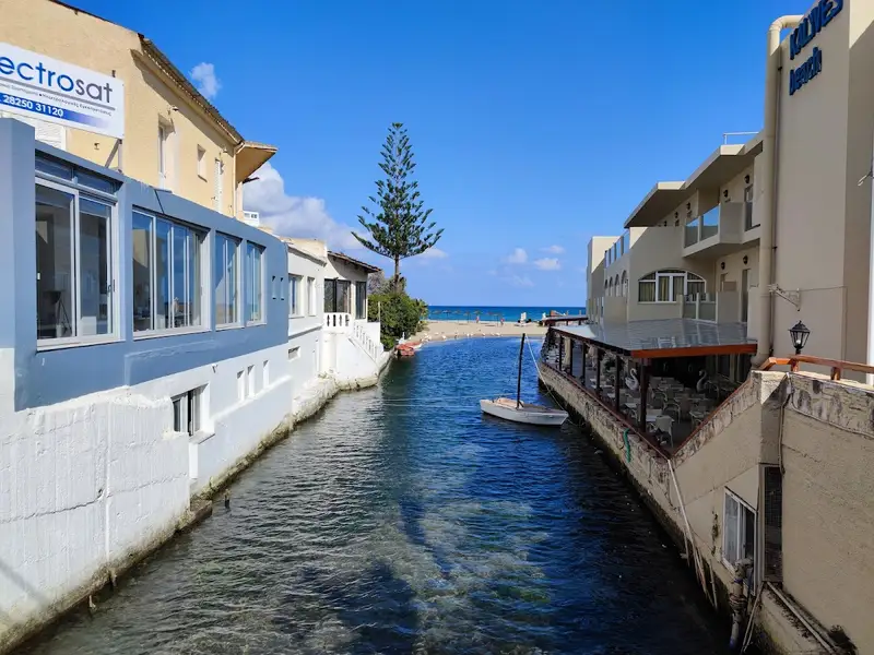
Adjacent to the Xidas river, both east and west, are two sandy beaches with shallow waters, exposed to northern winds. Named Xidas and Maistrali respectively, these beaches are well-equipped with standard tourist amenities. A petite, picturesque bridge at Xidas river’s mouth connects these two beaches. The scenic harbor of Kalives neighbors Maistrali and is connected to Chania through regular bus services. The area also houses banks, post offices, clinics, shops, and more.
North of Kalives, at the mouth of the Kiliaris river, lies the serene beach of Kiani Akti or Glaros. The Kiliaris river, which carries water from the White Mountains, maintains a year-round flow, a rarity in Crete. This results in cooler seawater near the river.
Kalives’ geographical position and fertile soil have made it a place of habitation since ancient times. It is believed to be the location of the ancient city Amfimatrion. Notable historical events include the construction of the Castel Apicorno fortress in 1206 and the village’s destruction by the pirate Barbarossa in 1538. The village is also close to the ancient city of Aptera and the Ottoman forts of Intzedin and Aptera.
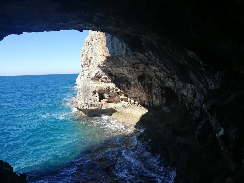
The harbor houses a German cannon concealed in a cave on the other side of a mountain. A small window at the tunnel’s end offers breathtaking views of the cliffs and sea. This is merely one example of the German defensive structures scattered across the broader Apokoronas and Akrotiri Cape area.
Visitors are encouraged to stroll through the village’s picturesque narrow streets, eventually reaching the village’s central square, home to a large plane tree and the Agia Paraskevi church. The church, adorned with frescoes, was constructed during the German Occupation in World War II.
An old Venetian mill, one of Crete’s most complex, is located along the Mesopotamos river. Built from stone and kourasani (a mixture of mortar and ground tile), it is renowned for its durability.
The coastal retreat of Loutraki can be found 16km to the east of the city of Chania, nestled near the American military base in Souda. Loutraki, along with the nearby Marathi, are the two primary tourist hotspots in the eastern region of Akrotiri.
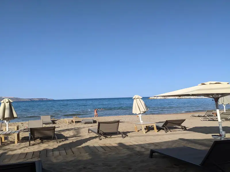
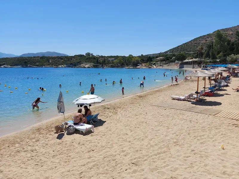
Loutraki boasts a tranquil beach with fine, soft sand and crystal clear, shallow waters, making it an ideal spot for children. The beach is well-maintained and equipped with all the standard tourist facilities, all under the cool shade provided by the trees along the beach. Visitors can hire umbrellas, dine in local taverns, rent rooms for their stay, and partake in a variety of water sports.
Additionally, there is a large parking area available for visitors, which is shaded by tall eucalyptus trees.
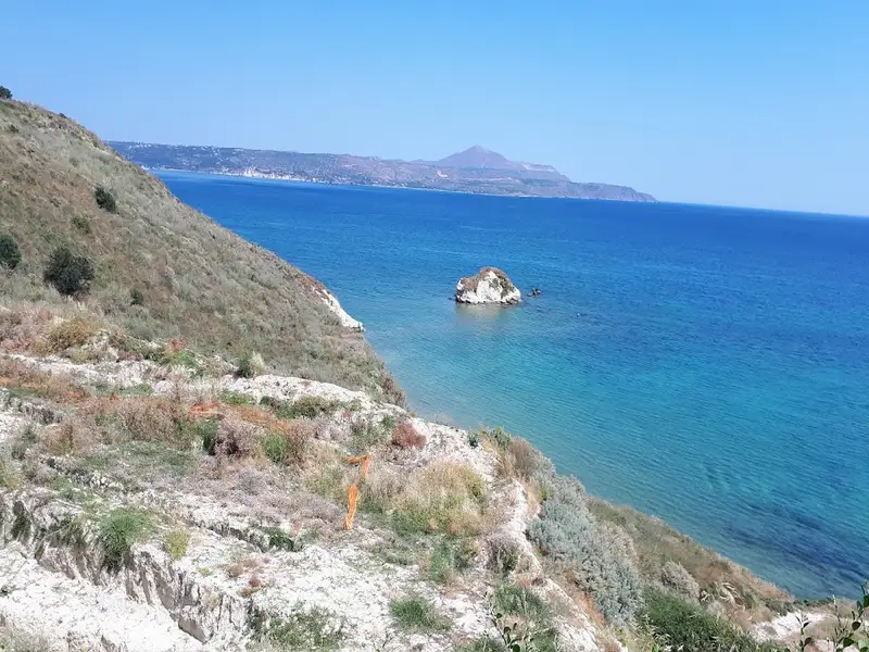
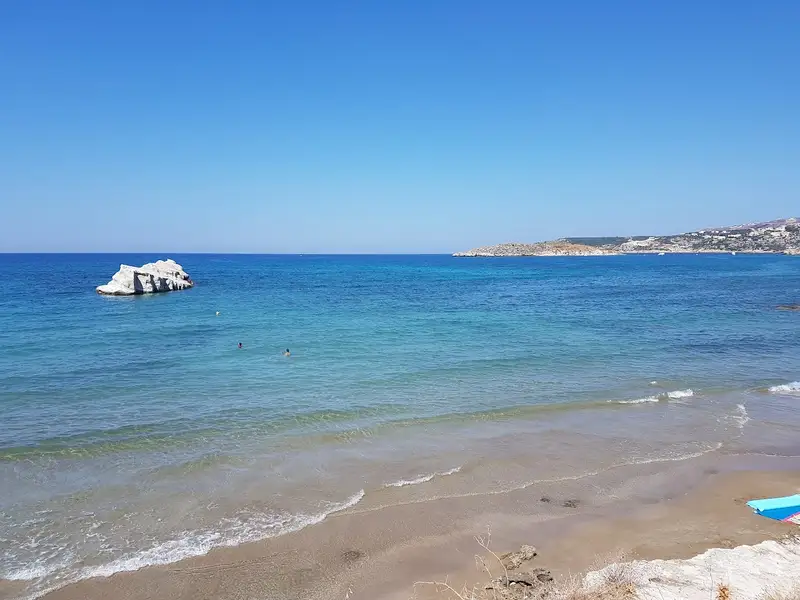
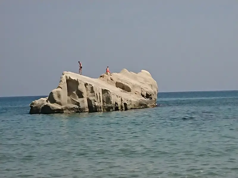
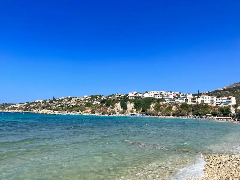
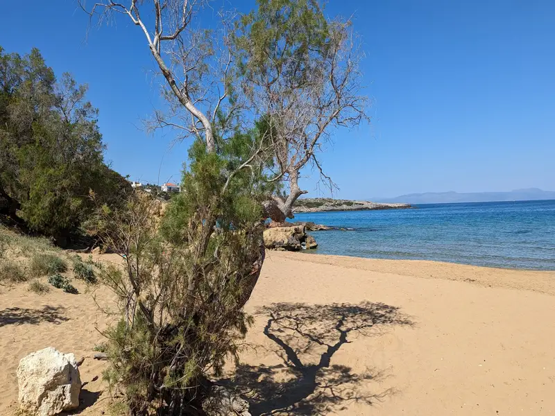
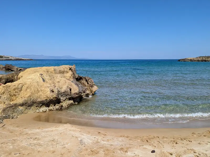
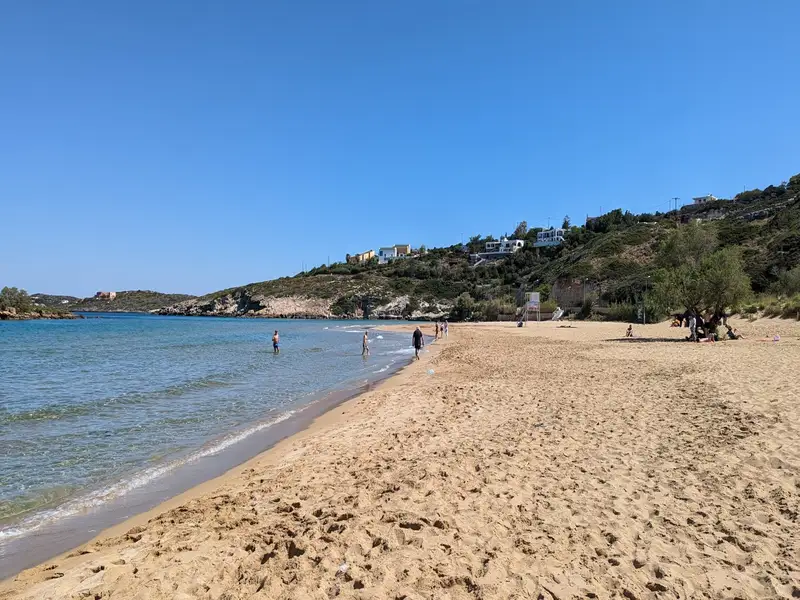
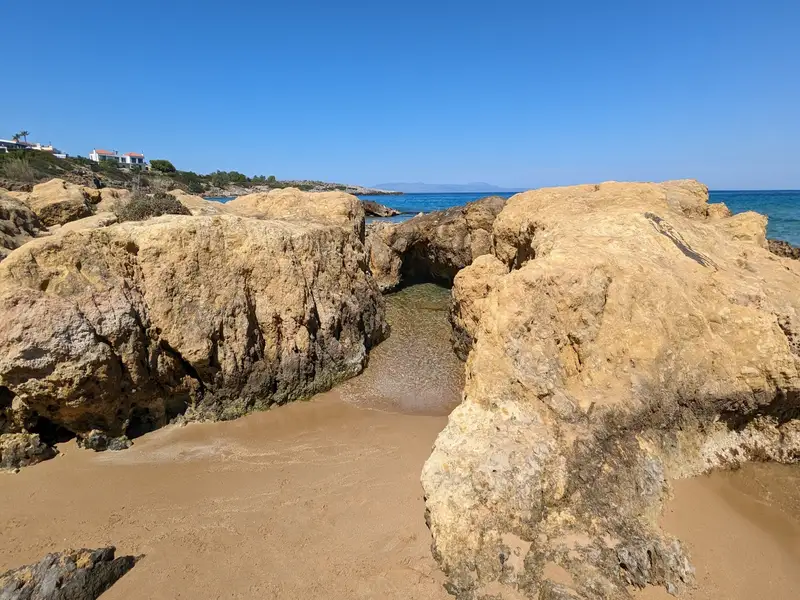
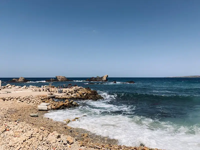
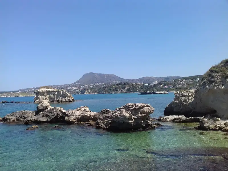
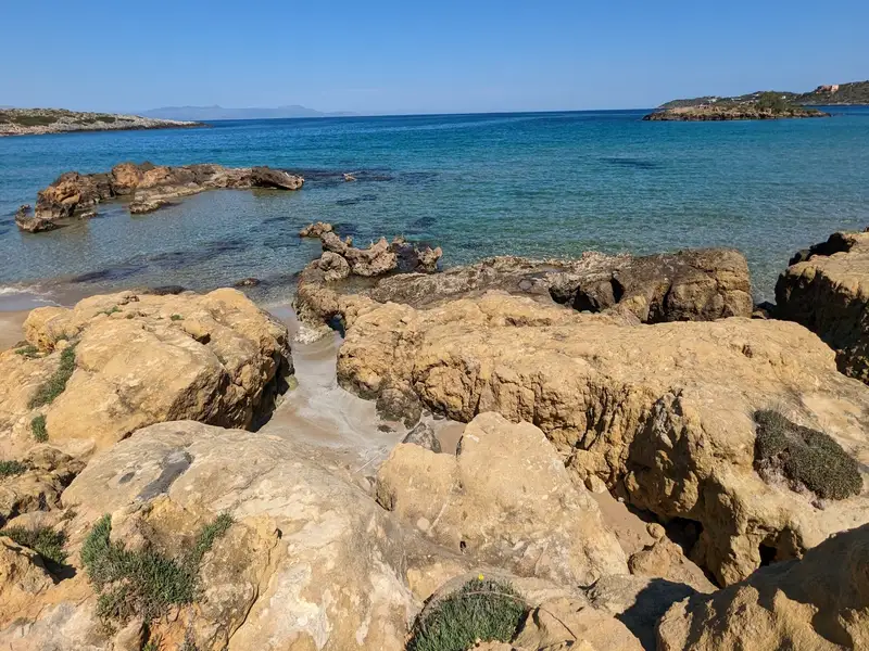
Situated approximately 20km east of the city of Chania, Kera beach can be found on the southern coastline of Souda Bay, near the scenic villages of Kalives and Plaka. This beach, adorned with soft sand and the occasional pebble, is nestled amidst a breathtaking landscape of towering cliffs. The sea at Kera is shallow and boasts crystal clear waters. Although it lacks organization, the surrounding area offers numerous choices for lodging and dining. Those preferring less crowded spots will find Kera an ideal choice. The beach offers a striking view of Karga island and features a unique elongated rock in the sea towards its west end. This rock, named Karavos (meaning ship) by the locals, resembles a boat.
Close to the beach is the 19th-century church of Panagia Kera (or Dame Virgin Mary), erected on the location of a former monastery. According to local legend, when pirates once tried to invade the area, the inhabitants sought divine intervention from the church of Panagia Kera. In response to their prayers, the Virgin Mary turned both the pirates and their boat to stone.
Situated 17km east of Chania and 5km east of the Creta Naval Base in Souda Bay, Marathi beach can be found on the southeastern coast of Akrotiri. The beach is a well-known resort in the Chania area, drawing a large number of visitors each summer, particularly families and the elderly.
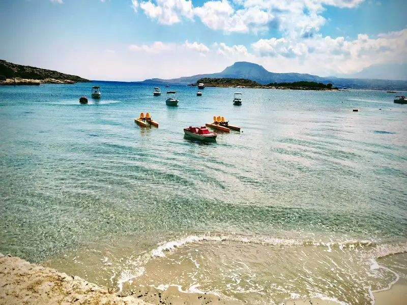
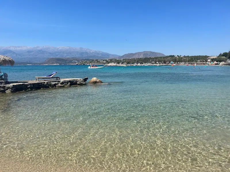
Marathi boasts two exquisite sandy beaches with shallow, calm waters, perfect for children. These beaches are well-shielded from wind due to their southern orientation and offer a stunning view of the Drapanos Cape and the White Mountains. A small pier, which serves as a harbor for fishing boats and small ferries, separates the two beaches. The area is well-equipped with all essential amenities for a comfortable visit.
Opposite Marathi beach, about 500m away, lies the small island known as either Marathi or Palia Souda (Paleosouda). One can swim to reach the island, which is home to a small pine forest. Its western coast is steep, making it a popular destination for scuba divers.
Venturing northwards along the beach road, you will stumble upon the ruins of the Roman town known as Minoa, believed to have been a seaport city of Aptera. The archaeological site, also referred to as the Small Palace of Minos (although it doesn’t date back to the Minoan Times), reveals remnants of buildings and baths likely related to an ancient harbor, military facilities, and a mansion. Notably, a semicircular wall can still be seen on the beach.
Heading northwest from here, after passing a section of the beach frequented by ducks, we come upon the church of St. Spyridon. This spot offers a beautiful seascape perfect for wedding or christening ceremonies.
In contrast, if we head southwest from the port, we reach the end of the harbor’s pebbly beach known as Sosorides. This beach is a local favorite, known for its serene, unfussy atmosphere. Sosorides can be accessed via a paved road that begins a few meters before Marathi when approaching from Chania.
Almyrida beach is a tranquil resort offering basic facilities along with a magnificent seafront. Almyrida is situated 23km east of Chania city and nestled on the southern edge of Souda Bay near Cape Drapanos. The surrounding pristine countryside and verdant olive groves provide perfect opportunities for hiking and exploration.
A short distance of just 1km to the east lies the scenic village of Plaka, the largest in the area, renowned for its welcoming atmosphere and healthy climate. The coast stretching to Drapanos Cape is dotted with numerous sea caves, presenting a breathtaking natural spectacle. Plaka is also celebrated for its charming, narrow lanes and well-preserved, traditional houses.
Each July, the village hosts the Plakiana festival, a tribute to the renowned lyre musician Michael Papadakis, or Plakianos, showcasing the area’s rich cultural heritage. Among the unforgettable experiences here is the mesmerizing sunset, a truly memorable sight.
Declared a region of infinite beauty in 1977, Almyrida boasts two beautiful sandy beaches with shallow waters. On calm days, they’re safe for children to play in. These two beaches are separated by a small rocky peninsula featuring a quaint white chapel. Ideal for water sports and windsurfing, the area is also renowned for its seaside taverns serving fresh fish and delicious traditional Cretan cuisine. Regular bus and taxi services connect Almyrida and Plaka to Chania city.
Directly across from the beach is the small island of Karga, a haven for birdlife and a popular spot for excursions and fishing. The island still bears traces of ancient Phoenician walls and shelters constructed by the Germans during World War II.
Almyrida is thought to have been a Phoenician colony, hence the nearby location Finikia. Here, you can find ancient ruins and tombs. At the entrance to the village lie the remnants of a 6th-century triple-aisle Christian basilica with well-preserved mosaics. Almirida also played a role in Crete’s history as the site of the last battle against the Turks in 1896.
For those interested in sightseeing, just four kilometres east of Almirida is Kokkino Chorio or Red Village. A small village with intriguing fortifications built by the Germans during their occupation (1941-1945) to safeguard the military port of Souda. This was also a filming location for the famous movie “Zorba the Greek”. Today, it hosts a small factory producing handmade glass using traditional blowing techniques.
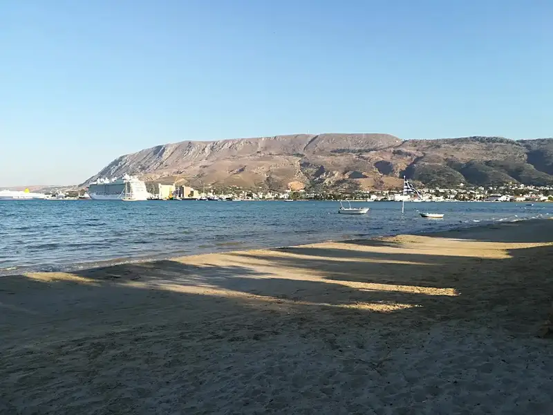
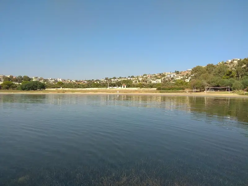
Vlites beach, a well-sheltered spot situated in the grand Souda bay, lies about 5 km to the east of Chania city and holds the title of the longest beach in the bay. This expansive beach takes shape north of the Moronis River’s mouth, extending northwards to the Souda Bay War Cemetery.
The sandy seashore is ideal for kids due to its typically tranquil state and shallow waters. Previously, its closeness to both the Souda Naval Base and Souda’s commercial port led many locals to avoid swimming in its waters. However, chemical analysis has confirmed the water’s cleanliness, assuring that swimming at Vlites beach is entirely safe.
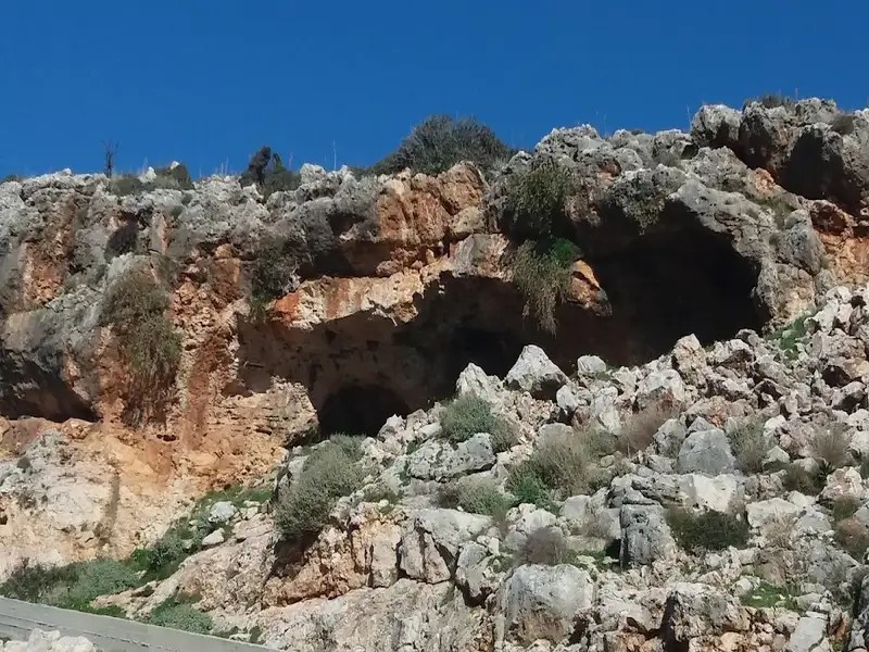
Koutalis, also known as Koutalas beach, is positioned 25km to the east of the metropolis of Chania, situated near Cape Drepano and approximately 1km north of Kokkino Chorio. The region is notable for its extraordinary caves, such as the Elephants’ Cave and Petsis Cave. Adjacent to Koutalis, Kokkino Chorio is recognized for the WWII cavernous shelters erected by the Germans on Drapanokefala hill to safeguard Souda Bay, its charming traditional residences, and a collection of wells for water collection. This location also served as a filming location for “Zorba the Greek.”
Being relatively secluded, Koutalis beach is a familiar starting point for local scuba divers exploring the nearby sea caves. The beach is nestled at the end of a rocky gorge and cradled within a narrow bay, characterized by its large, round pebbles and stones. It’s the perfect spot for fishing and solitude, but ensure to pack essentials like umbrellas, food and water. To reach this location, head north from Kokkino Chorio village towards Drepano Cape, then onto the road leading to Faros (Lighthouse). Roughly 700m further north, look for the sign to Koutalas. A manageable dirt path will lead you directly to the beach, which might well be totally deserted. A large cave can be found next to the beach.
Vraskos Beach
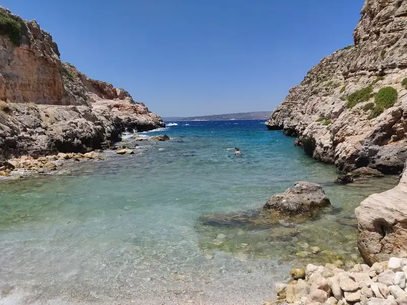
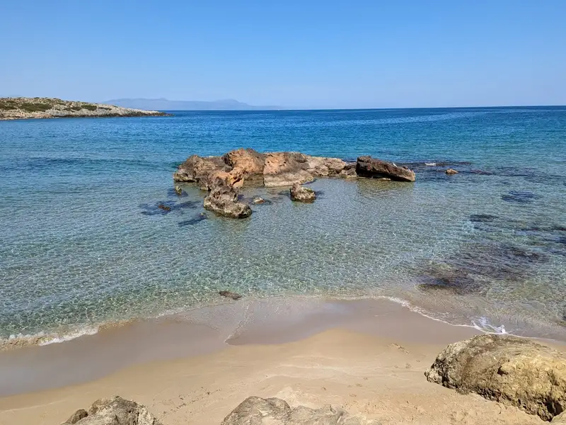
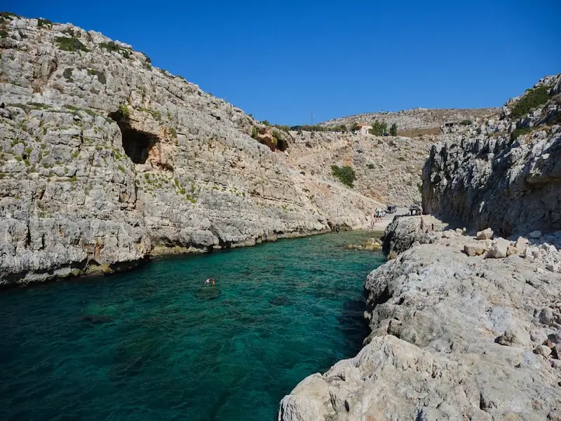
A hidden gem between Koutalis and Almirida is Vraskos beach. Similar to Koutalis, Vraskos is located at the end of a short narrow gorge, but no road leads directly to it. The sea bed is quite rocky with patches of sand.
The seaside village of Kalathas is located 12km northeast of Chania city, in a natural bay at Cape Akrotiri, which is open to the north winds. Current Kalathas is a relatively new village, which has been inhabited by residents of Chania who wanted to live away from the city centre.
The beach in front of the village is beautiful, with fine sand and shallow crystal clear water. Opposite Kalathas, there is a small island which you can easily reach by swimming.
The beach is very well organized with umbrellas, water sports, restaurants, hotels, lifeguards, mini markets, etc.
West of the main bay, beyond the rocky end, there is a secluded sandy bay. This is not organized and is ideal for those who do not like crowded places.
Tip: If you continue towards the far right of the beach, you will find a rather remote beach with usually hardly any people should you wish to avoid the crowded part of the beach.
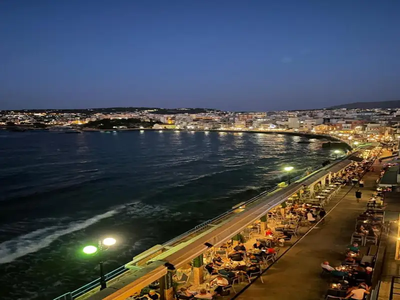
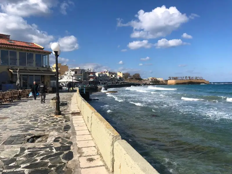
Situated at the eastern edge of the scenic port of Chania, in front of the historical Bedouin district, is Kum Kapi Beach. This location was once inhabited by African economic migrants who lived in rush-made huts during the Ottoman period, having initially arrived on the island as slaves. Presently, the only visible structures are a long coastal street lined with cafes and nightclubs, with no huts in sight. The area derives its name from the Turkish phrase Kum Kapisi, translating to the Gate of Sand, which was a gate on the Venetian Walls adjacent to this sandy beach.
Kum Kapi Beach stretches for approximately 1km to the east beneath a pedestrian road. In previous years, the beach was a popular swimming spot in Chania, but the deteriorating quality of seawater led to swimming being banned. Recent developments in the biological cleaning infrastructure of Chania city have improved the water quality, making it safe for swimming according to the city’s Water Supply and Sewerage Authority. However, Kum Kapi Beach remains unorganized and is still not trusted by locals.
To the west, the ocean meets the road’s wall with no beach in between. On the east side, a strip of sandy beach is formed where most people swim. Further east, a beautiful cove is formed, although locals still avoid swimming there.
Kouloura Pond, Halepa
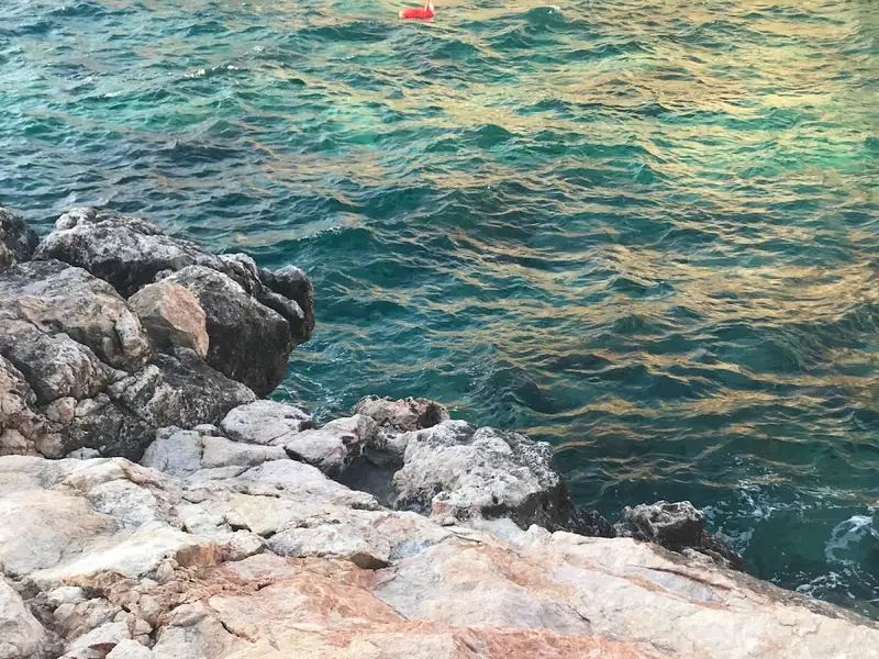
In the Halepa suburb of Chania, next to the Agia Kyriaki chapel and beach, you’ll find Kouloura – a small rocky pond. This spot is a favored “pool” amongst Halepa residents, each of whom has a unique tale to share about the place.
No results available
No results available
© All rights reserved. Crete Locals