Best Beaches near Aghioi Deka in Heraklion region, Crete Island

Best beaches near Aghioi Deka

Find below the list of beaches near Aghioi Deka:
  • 13.9 km
Loutra beach is located 13.9 km away.

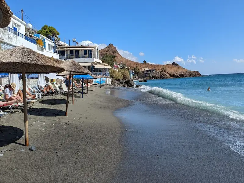
Located just 3km to the east of the coastal village of Lendas, and 77km to the south of Heraklion, you’ll find Loutra. Known to locals as the home of the Lendas port, it’s safeguarded on the eastern side by Cape Trafoulas. Adjacent to the harbour, there are several coves with sandy and rocky sea beds, perfect for snorkelling and fishing. Although it’s relatively unorganised and not overly busy, there are a few nearby restaurants and rental rooms. Before the construction of Lendas’ port, Loutra was a favourite amongst naturists, but these days they tend to feel less at ease here.

West of the main beach and detached from the harbour is a small beach known as “Pasiphae’s Baths” or Hammam. Legend has it that this beach was the bathing place of choice for females, led by Queen Pasiphae, wife of the mythical King of Knossos, Minos. Minos and his male counterparts, however, would typically be found at Trafoulas beach.

Close by Loutra, there’s the charming Panaghia (Virgin Mary) Vithanos chapel, which is uniquely built into a rock. According to local folklore, a shepherd found a Panaghia icon in the rocks above Loutra near the canyon. After the icon was stolen from a church in the Plain of Mesara and went missing, the shepherd re-discovered it in the same spot. To express their gratitude for this miracle, the shepherd and his companions decided to construct a church at this site. They were faced with the difficult task of bringing water up from the valley, a task made possible by Panaghia who created a spring from the barren rock. This is the reason the church’s icons depict Panaghia surrounded by water.

  • Loutra beach
  • Fine Pebbles, Sand
  • Normal
  • Blue
  • 13.9 km
Tripiti beach is located 13.9 km away.

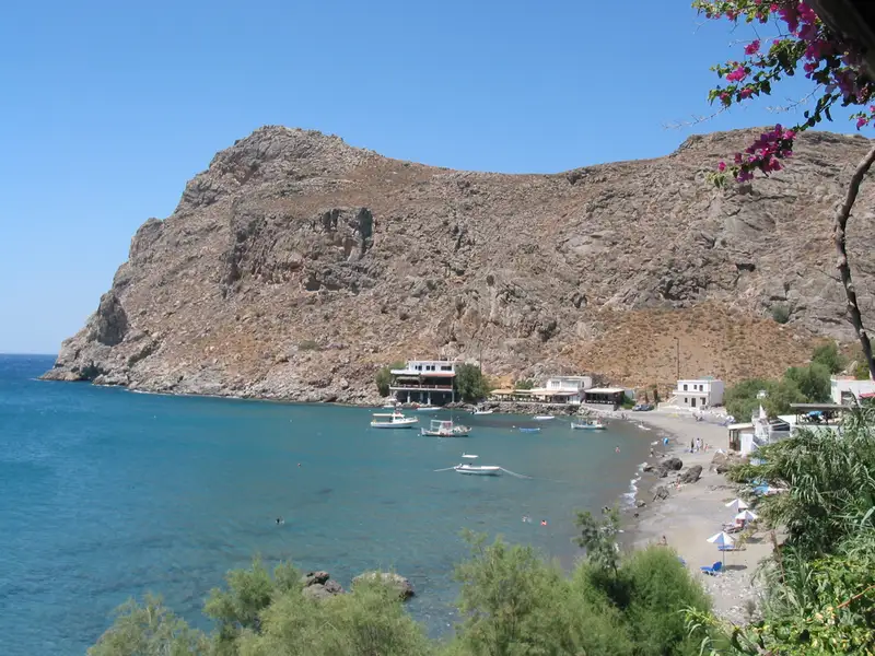
Tripiti, also known as Trypiti, lies 73km south of Heraklion and 12km east of Lendas, nestled in a small plain near the exit of the gorge of Tripiti. Its name originates from the Panagia Tripiti church, nestled within a cave near the beach and the canyon exit.

Two unpaved paths lead to Tripiti. The first commences near Lendas harbour and stretches for 6km, leading east to Kroto’s village. At the crossroads, a turn to the right, past Cape Trafoulas, reveals stunning views of the authentic Cretan countryside before arriving at Tripiti. The second route starts from the village of Vassiliki in the Messara plain, accessible via the village of Agii Deka. This route traverses the untamed Asterousia Mountains, the Trypiti gorge, and the olive grove of Agios Savvas, replete with striking karstic formations.

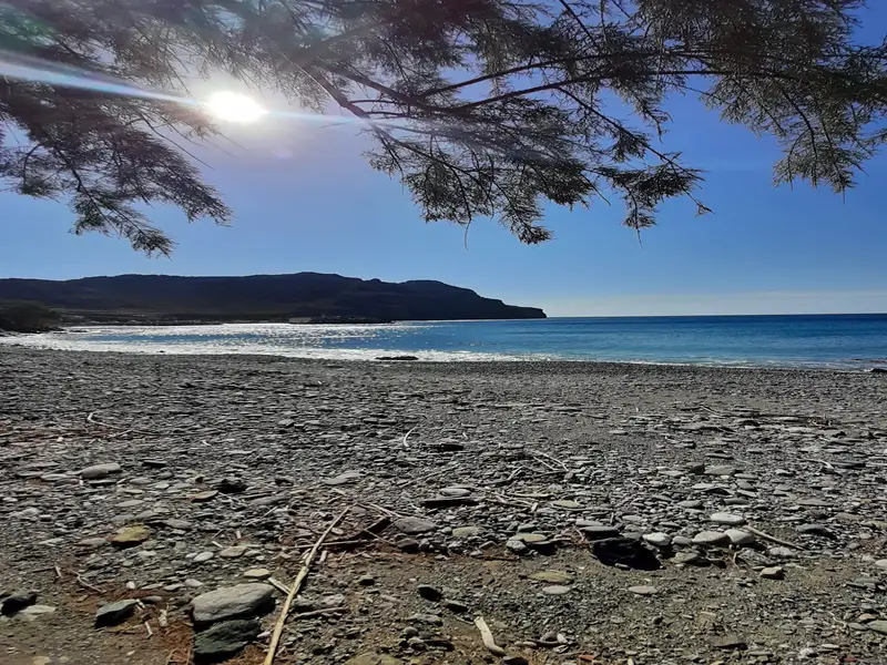
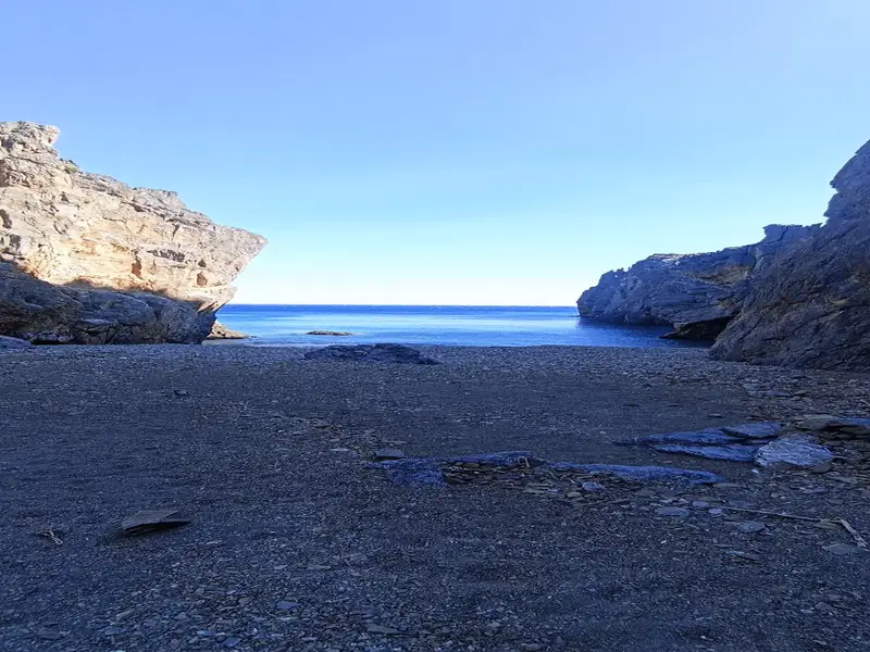
Regardless of the route chosen, visitors are treated to dramatic landscapes, the tranquillity of the beach juxtaposed with the rugged mountainous terrain. Upon arrival, a serene beach with pebbly shores and clean, dark green waters await. Tamarisk trees, a stone’s throw from the shoreline, provide ideal camping spots.

Overlooking the beach, in the Kalokambos area, are the ruins of the Minoan settlement of Papouri. Small windows and doors suggest that dwarfs once inhabited the dwellings. The southern view of the Cretan Sea is simply breathtaking.

While Tripiti is not a developed beach, it has a small tavern and attracts a significant number of visitors in August. The only eyesore in the landscape is the illegally constructed rental rooms and the permanently stationed caravans by locals.

For those seeking solitude, especially in August, two nearby secluded beaches offer respite. Both beaches feature coarse sand and calm waters. The first, hidden at the base of Fylakas Cape, is a haven for nudists, with its green-blue waters and rocky seabed. The second, located about 1km to the west, is Vyzaroplaka beach, a small bay aside from the Trafoulas Peninsula, perfect for snorkelling and fishing.

  • Tripiti beach - Heraklion
  • Fine Pebbles
  • Deep
  • Blue
  • 14.1 km
Petrakis beach is located 14.1 km away.

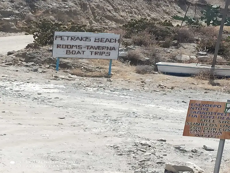
East Tsigounas, also known as Petrakis, is a serene beach situated 1km east of Lendas and 76km south of Heraklion on the foot of the rugged slopes of the Asterousia Mountains. The beach can be reached by car from Lendas via a road leading east to the local port. A section of it is referred to as Ostria, named after a small local hotel.

East Tsigounas is home to a quaint hamlet comprising 2-3 taverns with rooms and a handful of houses. The hamlet overlooks a lengthy beach adorned with beautiful round pebbles. Tamarisk trees line the beach, providing shade and an ideal spot for camping. Despite not being well-developed, the beach does offer a few umbrellas provided by the taverns.

  • Petrakis beach
  • Pebbles
  • Normal
  • Blue
  • 14.4 km
Leprias beach is located 14.4 km away.

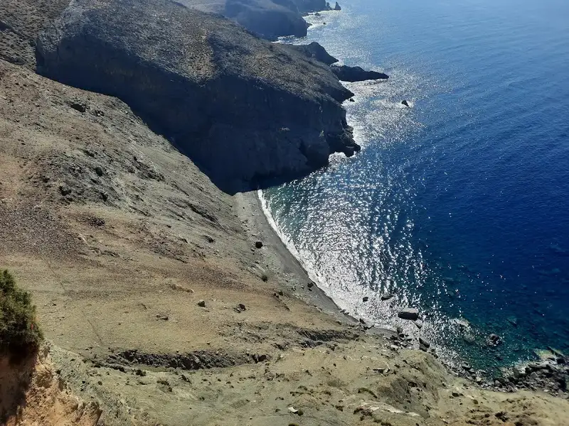
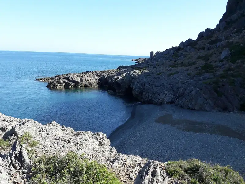
Located in the Kalokambos region, approximately 73km south of the city of Heraklion, Leprias, also known as Lepries, is a quaint pebbly beach nestled amidst the rugged and awe-inspiring landscape of the Asterousia Range, southwest of Kofinas peak. The beach is accessible via a hiking trail that starts at Tripiti beach and leads to Agios Ioannis. Leprias beach is set against a steep dirt slope that erodes and crumbles, reminiscent of a leper’s skin, giving the beach its name, derived from the Greek word for leper.

The safest way to descend to the beach from the trail is from the bay’s western end. The eastern part of the beach boasts impressive caves that provide shade throughout the day. As you travel between Leprias and Tripiti, you will encounter other beautiful beaches in the Kalokambos area, characterized by their rocky bottoms and favored by local fishermen.

  • Leprias beach
  • Pebbles
  • Deep
  • Blue
  • 14.6 km
Lendas beach is located 14.6 km away.

Situated 74km south of Heraklion, on the southern fringes of the grand Asterousia Mountains, is the isolated seaside village of Lendas. This modestly designed tourist resort promises a serene vacation. The journey to Lendas, from Agii Deka near Mires town, via the village of Miamou, is via a narrow paved road that winds through the rough mountains, descending from an elevation of about 1000m to sea level, offering an awe-inspiring view of the Lendas sea.

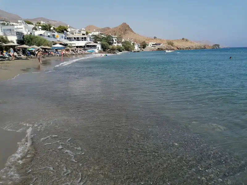
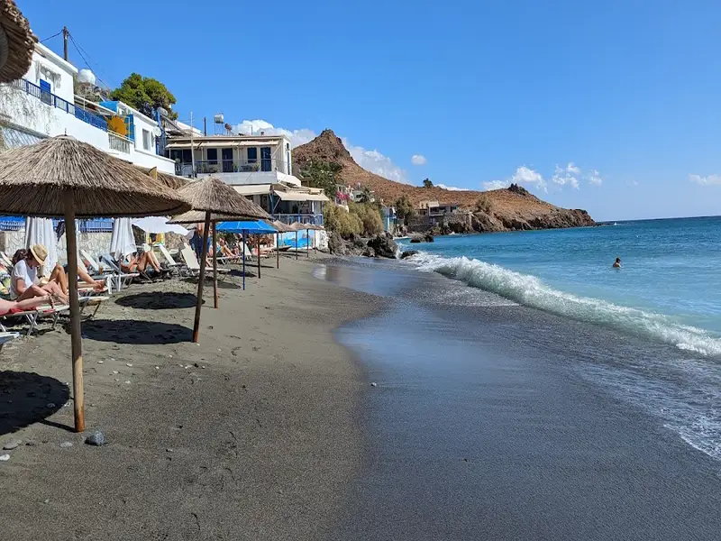
The vicinity is scattered with beaches, popular among naturists. The beach in the village of Lendas, shielded on the east by Cape Psamidomouri and on the west by the renowned Cape Lion, was once the old port of Lendas, which has since been relocated to Loutra. This beach is the busiest in the area with basic amenities such as umbrellas, showers, sunbeds, and water sports. Beyond the beach, numerous taverns and rental rooms are available. The beach’s trademark is its ducks that wander freely. Additionally, the endangered loggerhead sea turtle lays its eggs on Lendas beach between May and September. For those seeking solitude, the secluded beaches of Dyskos and Loutra are ideal.

Lendas is established on the site of the ancient city Levina, a name believed to be derived from the Phoenician “Lavi” meaning Lion. A lion-like cape located west of the village supports this belief. Legend says this lion was one of the lions pulling goddess Rhea’s chariot and was turned into stone at this location. Another theory suggests the name originates from the Phoenician word “levina”, meaning white, describing the whitish hue of the local rocks. The modern name Lendas is derived from the Greek word “Leondas” meaning lion. This cape, also known as Lion, is an archaeological site that can be visited by a short 15-minute walk to its peak, where you can enjoy a beautiful sunset. Archaeologists have uncovered evidence of early Minoan graves and a settlement, which had ties with Egypt. The ancient city of Levina prospered in the Hellenistic and Roman era, serving as a port for Gortys, the most powerful town in Crete at the time.

East of Lentas, a spring with supposed healing properties can be found. Even today, studies suggest the water aids in healing stomach, blood, and bleeding disorders. Consequently, a massive temple dedicated to the divine doctor Asclepius and Hygeia Sotira was built in the 4th century AC. This temple gained fame as a center for hydrotherapy, physiotherapy, and psychiatry, attracting patients from distant places, such as Libya. Remnants of the temple, a Byzantine church dedicated to Agios Ioannis Theologos, and Roman baths can still be found in the area. Levina was presumably abandoned in the 7th-8th century due to frequent pirate attacks.

East of the village, opposite the Psamidomouri Cape, a rock resembling a crouching elephant can be seen, with another beach formed opposite the rock. Further on, Cape Trafoulas bears a resemblance to a crocodile from Lendas. According to a local legend, Cleopatra once visited Lendas with her favorite animals, namely a lion, a crocodile, and an elephant. She was so enchanted by the place that she left her animals behind when she returned to Egypt. To this day, these “animals” remain there, patiently waiting for Cleopatra’s return.


  • Lendas beach
  • Fine Pebbles, Sand
  • Shallow
  • Blue
  • 14.6 km
Katarti beach is located 14.6 km away.

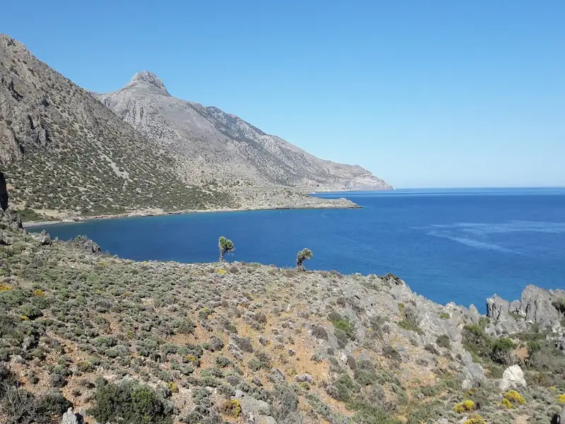
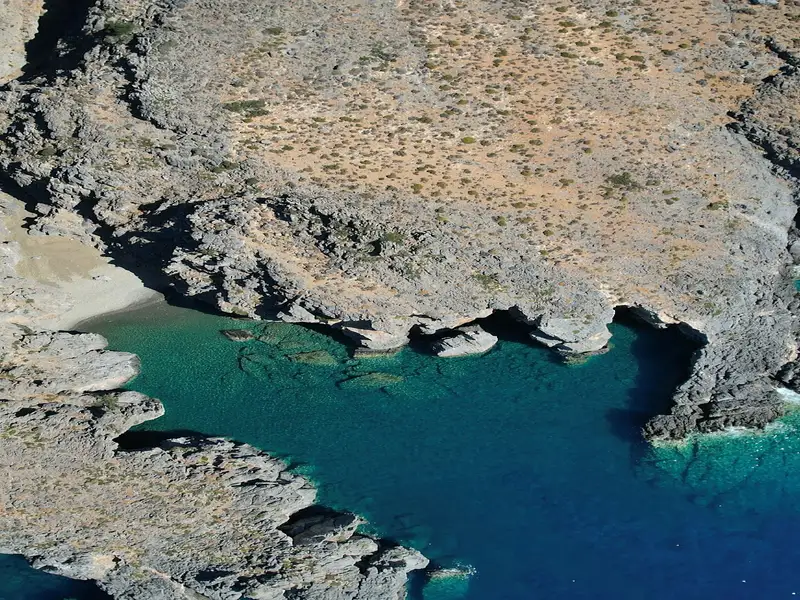
Katarti, a small beach nestled at the mouth of a narrow gorge, is situated 73km south of the city of Heraklion, at the base of Cape Oxa on Crete island. This secluded beach is enveloped by the untamed and majestic landscape of the Asterousia Range, lying southwest of Kofinas peak. One rugged dirt track from Salamias bay provides road access to the beach, but primarily, it is reached by boat or on foot from Agios Ioannis or Tripiti beach, located 2.5km westward.

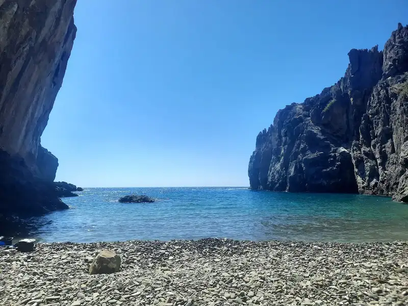
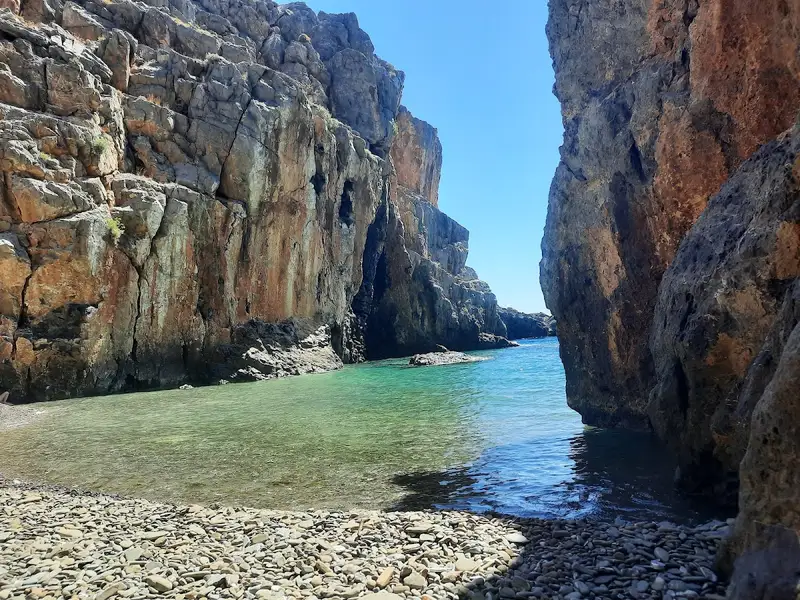
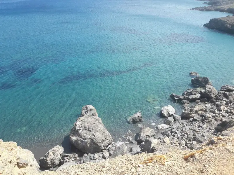
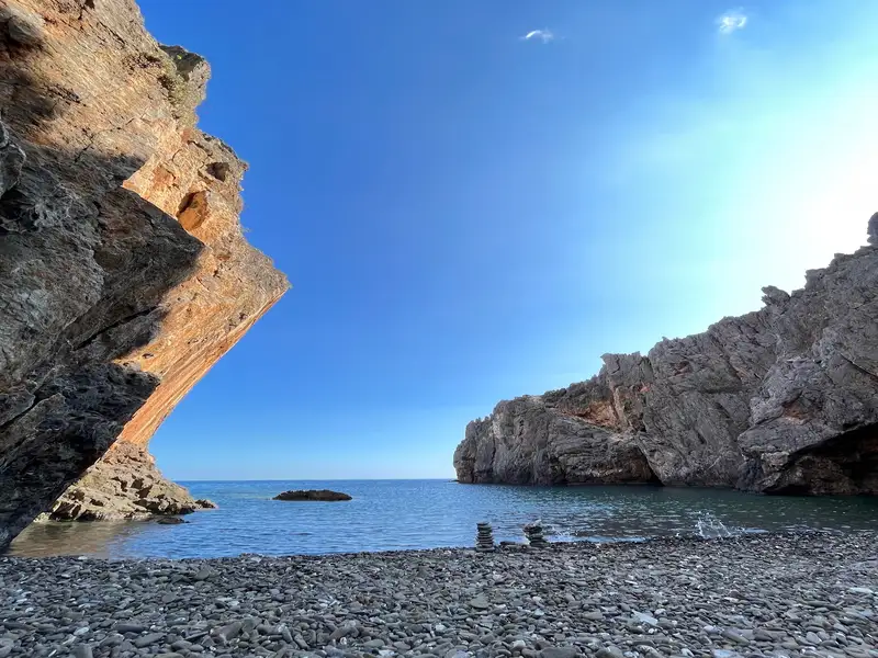
The region is a haven for fishing enthusiasts as the rocky seabed still teems with fish, despite the damaging illegal use of dynamite by some locals. Katarti’s coastline is adorned with white pebbles and its waters are crystal clear and deep, while the surrounding rocky shores are strikingly beautiful. The beach is flanked by tall cliffs, a natural extension of the gorge’s walls into the sea, offering both wind protection and shade.

The name Katarti, translating to mast in Greek, is inspired by a tall boulder in the sea nearby. Some locals also refer to it as Arkouda, meaning bear, asserting that the rock formations resemble a bear!

  • Katarti beach
  • Pebbles
  • Deep
  • Blue
  • 14.7 km
Trafoulas beach is located 14.7 km away.

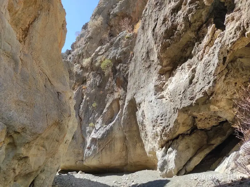
Dragon Bay, also known as Trafoulas, is situated 4km east of Lendas and 69km south of Heraklion. It’s a secluded beach on Crete’s southern coast, nestled at the mouth of a striking canyon on Cape Trafoulas or Trahilas. Legend has it that King Minos and his entourage frequented this beach, while the adjacent Loutra beach was the preferred bathing spot for his wife, Pasiphae, and her female company. The canyon is often mistakenly referred to as Steno Faragi (Narrow Gorge), which is actually a slim section of the Tripiti canyon. The lower segment of the gorge leading to Trafoulas is named Canyon Pidimatou (Jumping Canyon), due to its narrowness that allows an animal to leap from one side to the other.
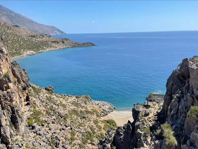
Reaching the beach requires a drive on a rugged road commencing from Lenda’s harbour (in Loutra) and heading towards the village of Krotos. After about 500m, you’ll spot the small canyon to your right and the trailhead that leads to the beach. Along the wild road, there’s a chance to enjoy a breathtaking panorama encompassing the coastline from Loutra to Lendas. Park your vehicle in a suitable spot and follow the trail to the beach, approximately a 15-20 minute walk. An alternative, yet less adventurous route, is to take a boat from Lendas to Trafoulas. The gorge itself is remarkably beautiful, abundant with oleander.

Trafoulas beach is also referred to as Psili Ammos (Fine Sand) and is considered the most exquisite beach in the larger region. It is primarily desolate, save for a few individuals occasionally residing in a massive cave on the beach. On the eastern portion of the beach, there are four caves – two high on the cliffs and two at beach level. They offer limited sun protection, assuming they are unoccupied. The cliffs on the eastern side appear to be an ideal spot for climbing, with evidence of previous use (hooks embedded in some cliffs). The beach is lengthy, featuring tiny greyish gravel and smooth rocks in the centre, with crystal-clear, deep waters. It is encircled by towering vertical cliffs that descend several meters into the sea. Weathered white rocks on the beach have formed beautiful natural marble sculptures. Pahia Ammos is also a favourite among naturists, who appreciate the seclusion from prying eyes.

The only disadvantage of the beach is the lack of shade during the peak sunlight hours, except for the cave areas.

  • Trafoulas beach
  • Fine Pebbles, Sand
  • Deep
  • Blue
  • 14.8 km
Salamias beach is located 14.8 km away.

The Salamia(s) Bay, situated 74km south of Heraklion and between Agios Ioannis and Tripiti, is one of Crete’s most secluded regions due to the absence of nearby roads. It can be accessed via boat or an easy walk from Agios Ioannis, following a crossing at the Avolakias beach. The bay’s name, Salamia, has its origins from the Italian word ‘salamentum’, meaning brine, which shares a root with the word salt – a product still harvested by locals in the Salamia area.

The Salamiano Gorge, one of several canyons found in the Asterousia Mountains, opens out at Salamias. At the gorge’s exit, numerous beaches with rough sand are formed. The area is adorned with a small grove of wild olive trees, providing a serene setting for swimming and fishing, particularly for those with a boat. As the area is often deserted, naturism is permissible.

The gorges surrounding Salamias (including Flomias, Koumos, Gerakia, Goula, Eligia, and others) serve as crucial habitats for a variety of rare avifauna and plants. These regions remain among the few places in Crete that are authentic and untouched by human activity.

  • Salamias beach
  • Pebbles, Sand
  • Normal
  • Blue
  • 14.8 km
Vourlidia beach is located 14.8 km away.

The petite stone-strewn beach, Vourlidia, situates at the termination point of the Flomias gorge, on the western region of Salamis bay, and at the bottom of Cape Oxa. This remarkable beach is accessible after a demanding hike from either the Agios Ioannis settlement to the east or from Tripiti beach to the west. The area surrounding the beach can be reached via a poorly maintained dirt path from the villages of Koumasa or Kapetaniana.

  • Vourlidia beach
  • Pebbles, Sand
  • Normal
  • Blue
  • 14.9 km
Dyskos beach is located 14.9 km away.

Situated 75km southwest of Heraklion, Dyskos, also known as Dytikos, is just a stone’s throw away from Lendas, separated only by the renowned Cape Lion. The legend says that Lion was one of the lions that served the goddess Rhea and was turned to stone at this location.

The settlement of Dyskos is nestled just west of Lion, where a sprawling beach with fine pebbles stretches out all the way to the village of Tsigounas. To reach this spot, one must travel the paved road from Lendas in the direction of Gerokambos. About a kilometer past Lendas, the beach will come into view on the left. In the absence of a car, one can still get to Dyskos by following the brief trail that skirts Cape Lion.

The eastern section of the beach, which lies in front of the village, is moderately developed with a handful of taverns and accommodation options. As one ventures westward, the beach becomes more secluded. The western area, close to Gerokambos, is particularly favored by nudists. In the past, Dyskos was a popular destination for hippies. For those seeking respite from the sun, numerous tamarisk trees line the beach providing ample shade.

Dyskos is also well-known for its breathtaking sunsets, with the sun disappearing behind the wild Asterousia mountains.

  • Dyskos beach
  • Fine Pebbles
  • Normal
  • Blue

© All rights reserved. Crete Locals