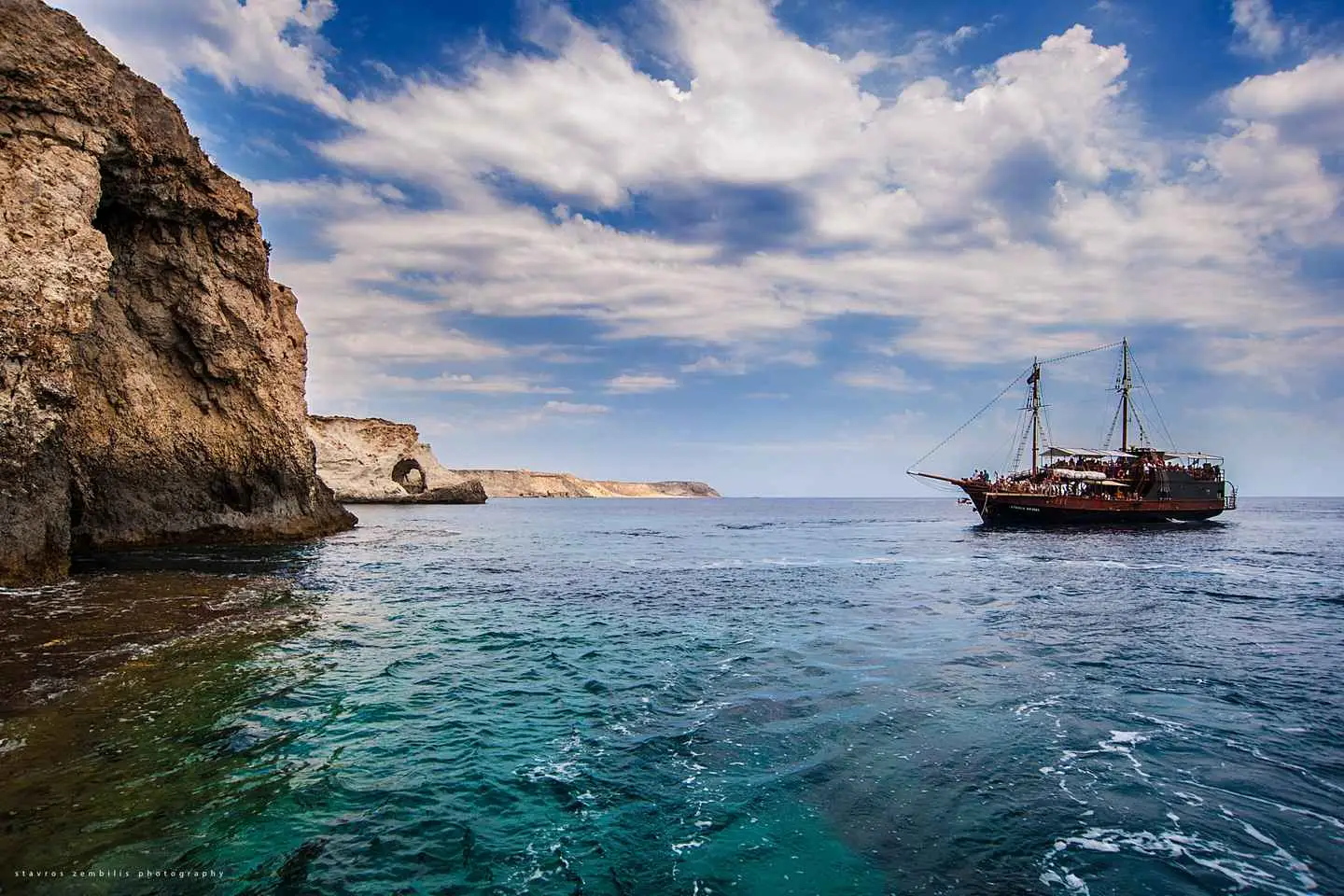
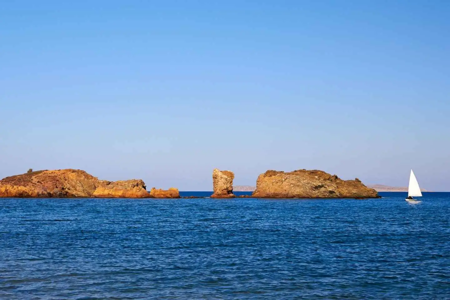
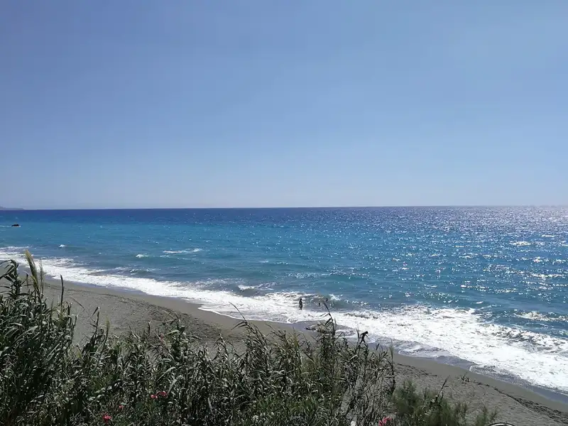
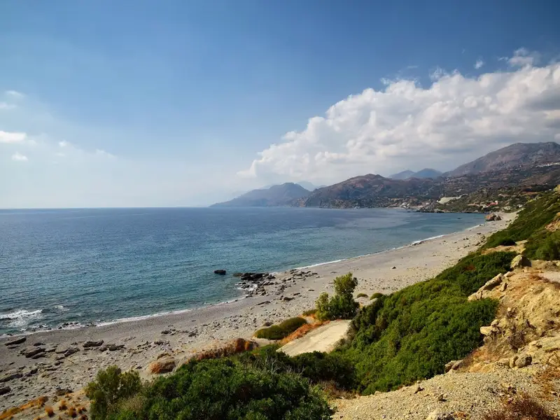
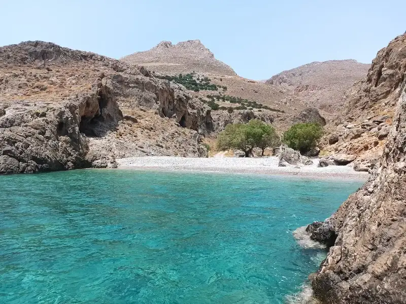
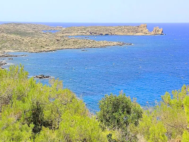
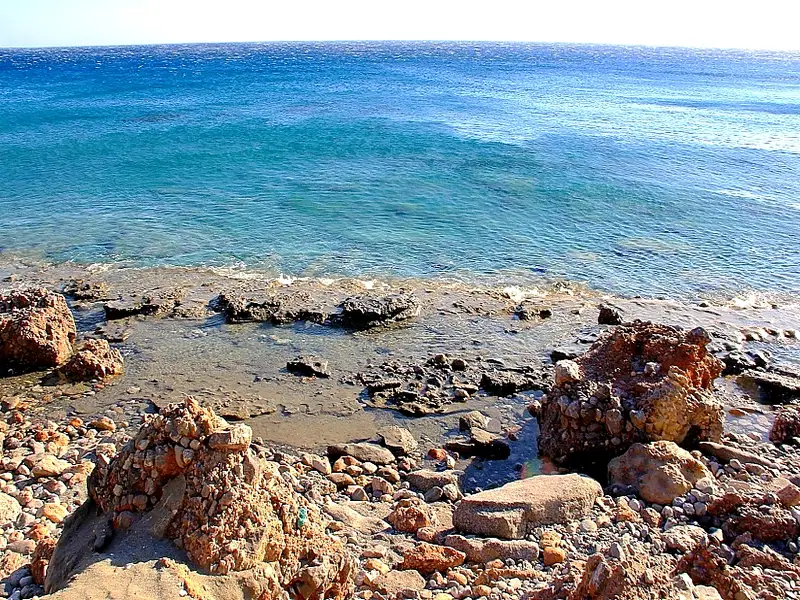
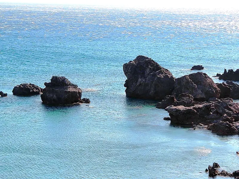
After arrival by bus in Makris Gialos to the southern coast of Crete, the boat trip begins with on the pirate ship “Eydokia” to Koufonisi. The trip through the crystal clear waters of the Libyan Sea takes about an hour. Approaching the island admire the views of caves and the steep cliffs.
The island is surrounded by 36 fantastic beaches and a walk around the island gives you the opportunity to enjoy the tranquility of the countryside, the emerald waters, and the fine golden sand.
The self-service bar is open throughout the cruise so you can enjoy lunch, snacks, salads, and drinks.
Discover the enchanting allure of East Crete with our meticulously crafted day tour.
Toplou Monastery
The journey starts as we make our way to the storied Toplou Monastery. You’ll be allotted 40 minutes to delve into its rich history, admire its distinctive architecture, and soak in the breathtaking views of the Cretan countryside that envelops this sacred site.
Vai Palm Beach
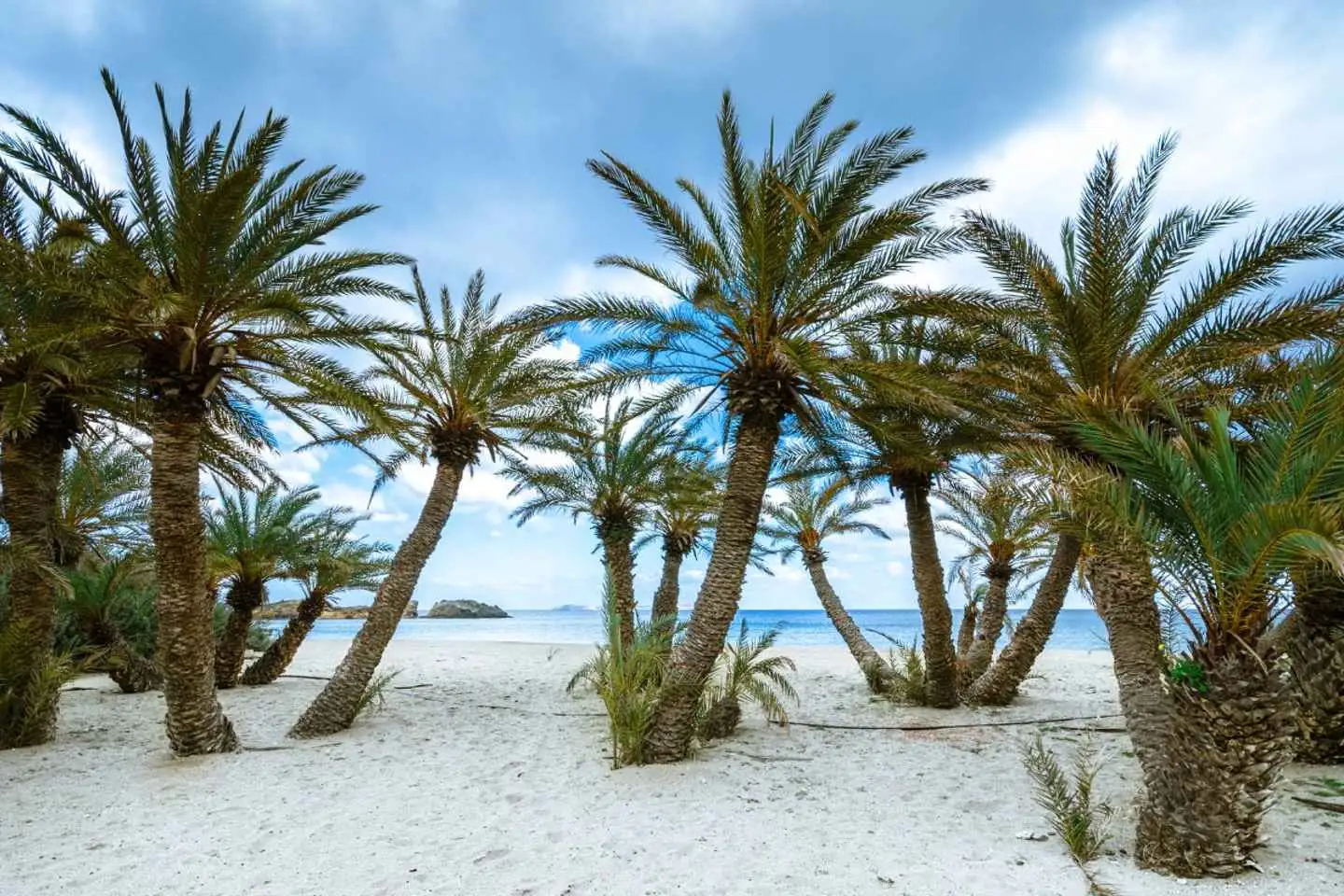
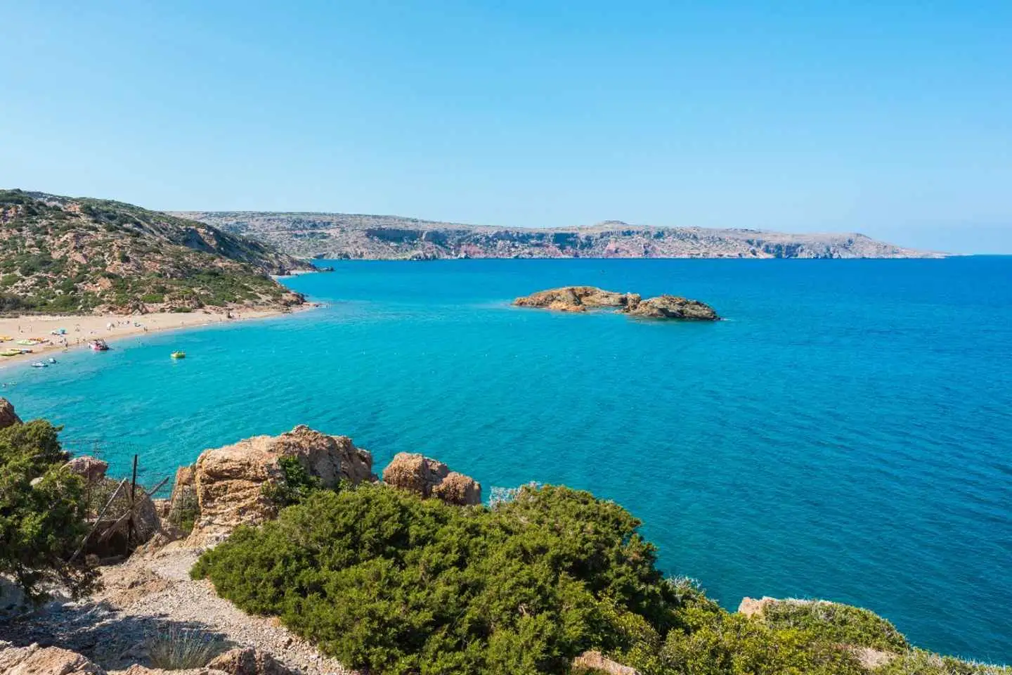
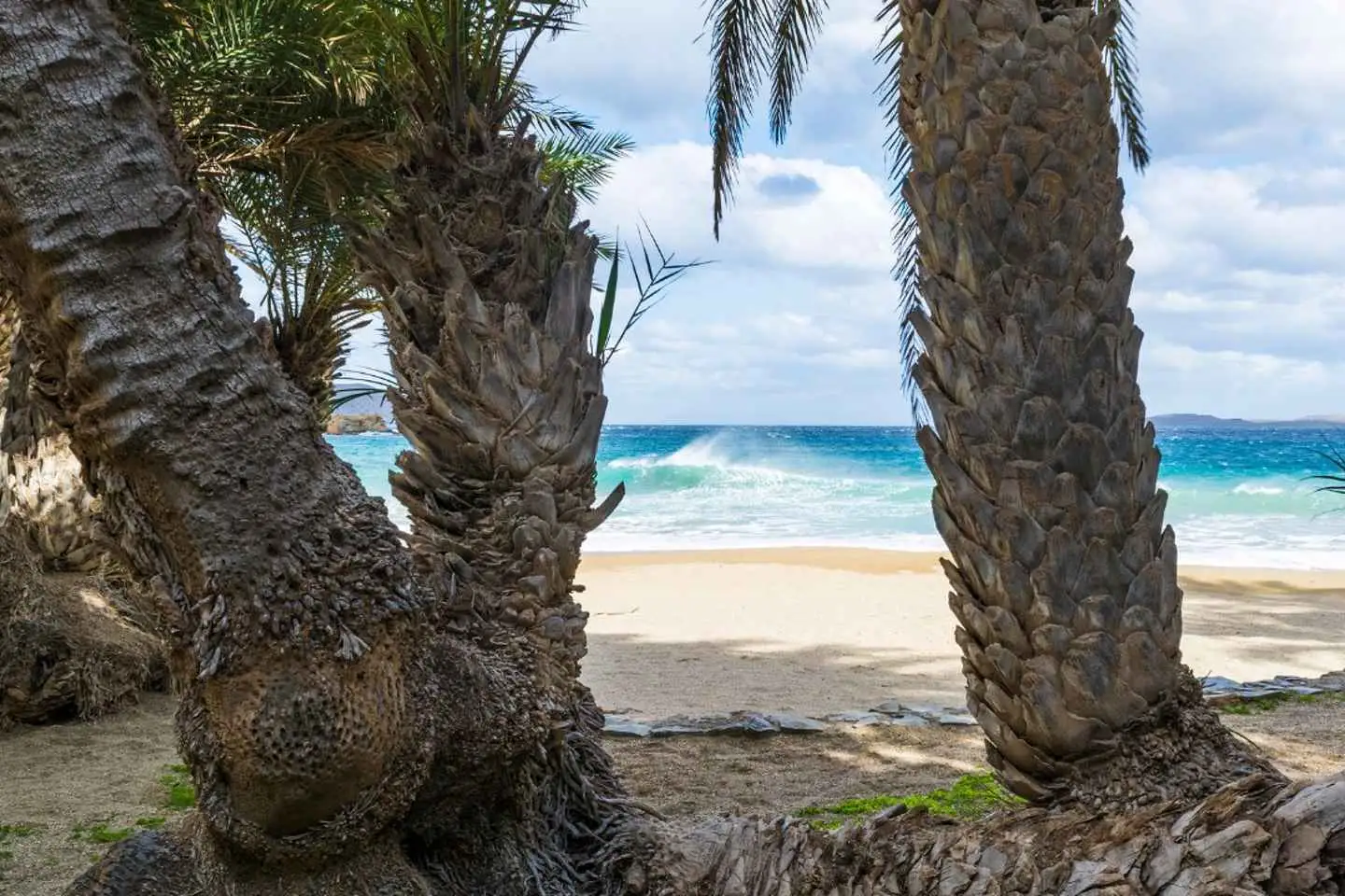
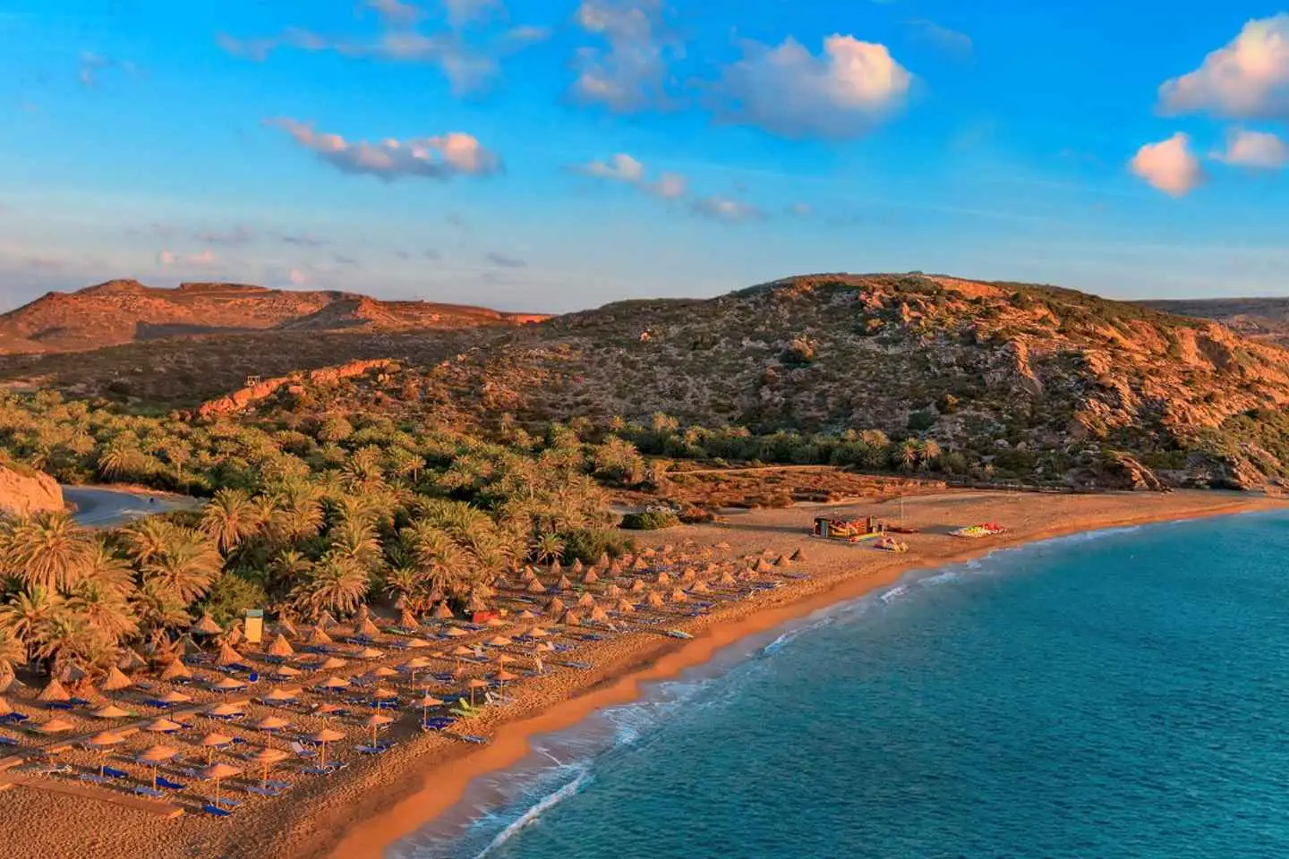
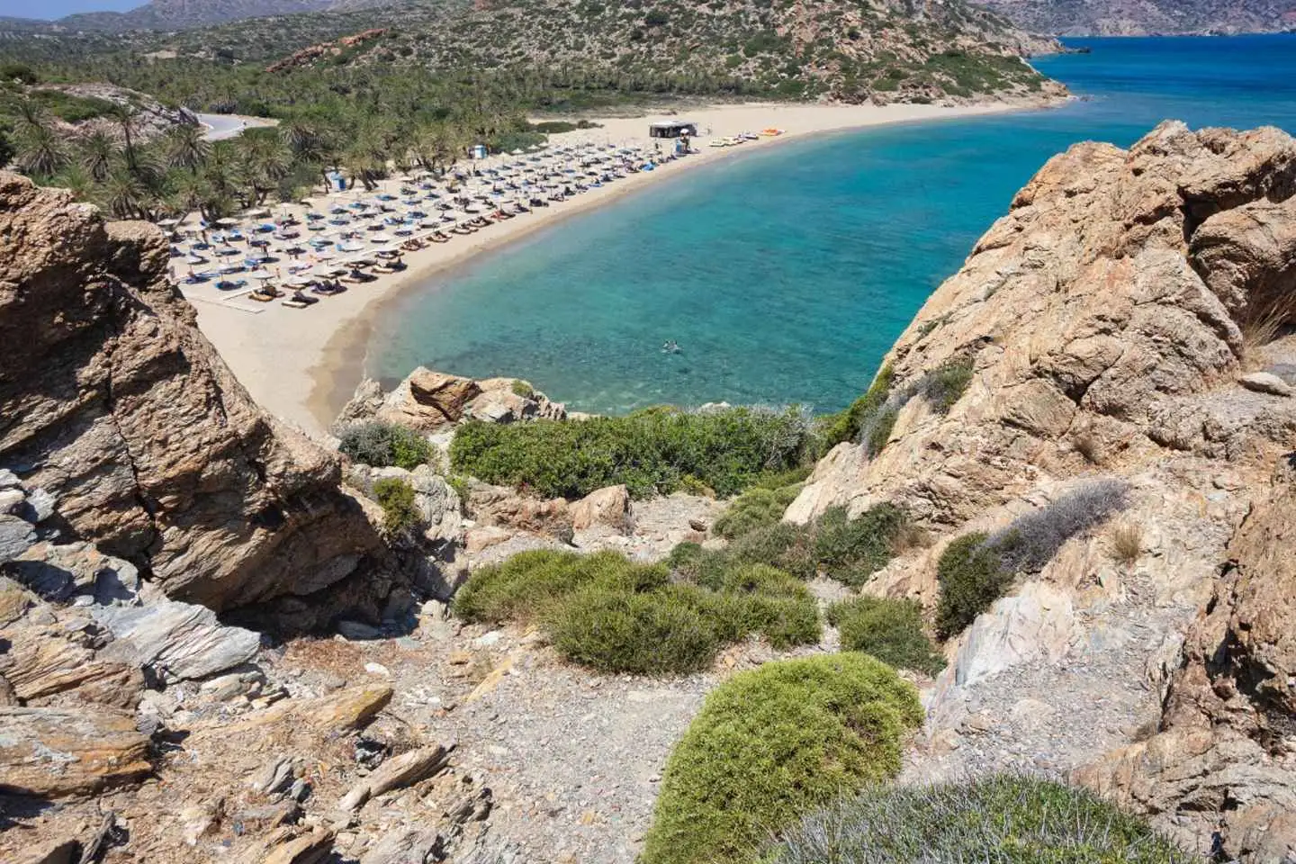
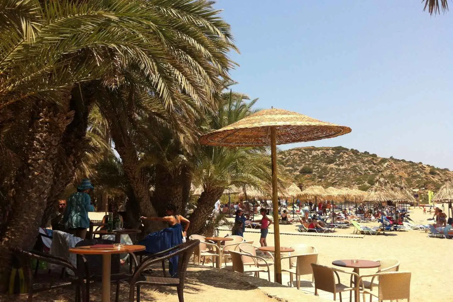
Next, we venture to the idyllic Vai Beach, celebrated for hosting Europe’s largest natural palm forest. Enjoy two hours of leisure time to swim in its azure waters, sunbathe on its golden sands, relish a tasty lunch, and take in the mesmerizing beauty of this unique landscape through your camera lens.
Sitia Town
Our exploration culminates in the picturesque town of Sitia, a gem that allows you to experience its lively beach road, enjoy a coffee at a traditional café, and indulge in exquisite local sweets over a 40-minute visit.
As the sun sets on this unforgettable day, we return to Heraklion by bus, carrying with us a treasure trove of memories from this enchanting journey through East Crete’s most cherished sights.
Start your day tour discovering the beautiful east part of Crete!
Visit Toplou, a 15th-century monastery located in a dry and barren area. Toplou monastery is one of the most significant monasteries in Crete, dedicated to Panagia (Virgin Mary) and St. John the Theologian.
Continue the tour to visit the largest palm forest in Europe, Vai Palm Beach. The palm forest draws thousands of visitors each year. They come not only for its wonderful palm forest, but also for the large sandy beach spread out at its foot.
Last stop of the day the cozy town of Sitia, with a lovely beach road and Venetian castle.
Detailed Time Schedule:
Morning Pick Up
We will start collecting participants from pick-up points in the morning.
Depending on the place of your hotel/apartment the bus drive will differ.
Bus Drive to Toplou: 2 hours amd 30 minutes
1nd stop: Toplou Monastery – 40 minutes
Our participants willenjoy a visit to the historical and beautiful Monastery of Toplou.There they will spend about 40′ of guided time and free time to take photos of the unique architecture and the Cretan Natural landscape outdoors.
Bus Drive to Vai Beach: 20 minutes
2rd stop: Vai Beach – 2 hours and 30 minutes
Stop at Vai, the biggest natural palm forest in Europe. Enjoy your free time to swim, sunbathe, have lunch and take photos of this exotic landscape of Crete.
Bus Drive to Sitia: 30 minutes
3rd stop: Sitia – 1 hour and 20 minutes
Participants will enjoy some free time to explore the town on their own pace, walk by the cosmopolitan beach road, have a coffee at a traditional cafe or taste the delicious local homemade sweets.
End of the tour – Arrival at resorts:
Embarkation in the buses and drive back to the hotels where we gathered participants in the morning.
Depending on traffic and on the pick-up places of each one, the time of journey back to the hotel will differ.
Return Bus Drive to Heraklion: Around 2 – 3 hours hours
Following collection from select areas, the experience starts from Agios Nikolaos heading east. This is an excellent opportunity for you to admire the sublime Gulf of Mirabello, which is Eastern Crete’s riviera. You will then pass through many picturesque villages before reaching the 15th-century Toplou Monastery.
The compound features a small museum with notable exhibits of Christian-Orthodox art, such as sacred utensils and chalcography by the monks of Mount Athos. There is also an olive press which produces olive oil of outstanding quality, as well as wine-making facilities. Both the olive oil and the wine produced in the monastery are exported all over the world.
You may participate in a wine and spirit tasting session (optional) at the monastery’s cellar, after which you will pay a visit to one of the main attractions in eastern Crete, the protected Palm Forest of Vai. It is unique in Europe and is located next to one of the most beautiful beaches of the island. At this location there will be plenty of time for you to enjoy swimming, as you bask in the rare beauty of the landscape. On your way back, you will stop at Platanos where you can watch the sunset in an area which boasts an enchanting view.
No results available
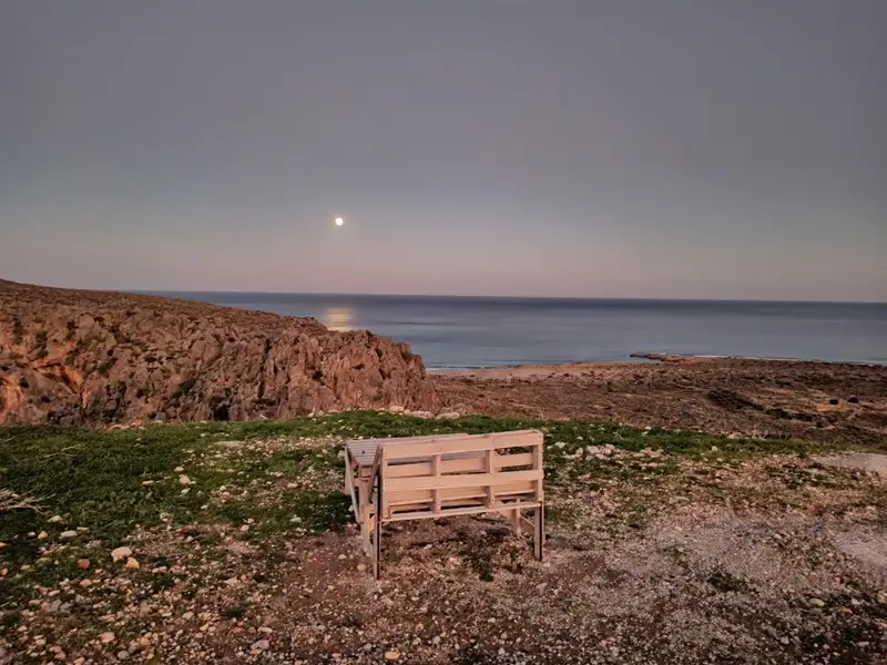
The Heromilia beach, situated in the Agia Triada region of Sitia province (also known as Tso), is just a 2km journey eastward from the Atherinolakkos Power Station. It holds the distinction of being the most western beach of the Livari beaches.
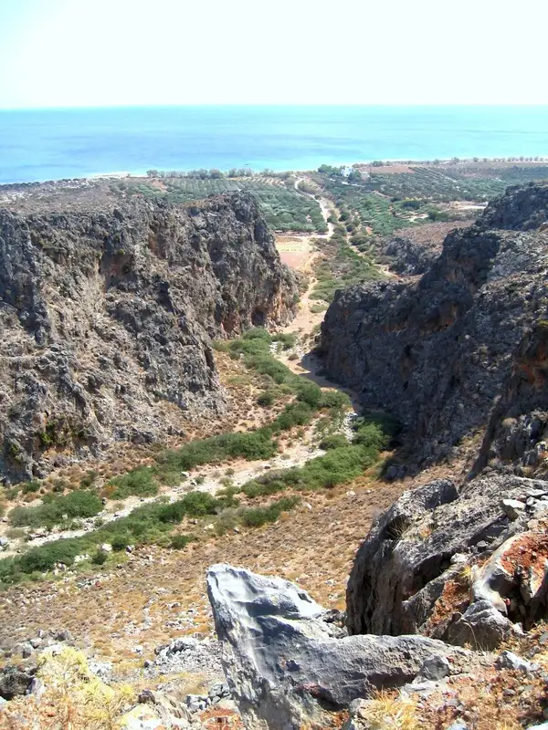
The beach forms at the mouth of the compact canyon Tripiti. The canyon derives its name from a unique hollow rock that stands a few meters north of the coastline; ‘tripiti’ translates to “with a hole.”
To reach the beach, one must descend from the summer residences of Agia Triada’s inhabitants towards the stream and then walk towards the sea. These are the first houses one encounters before reaching the main beach of Livari.
The small beach boasts clear blue waters and fine pebbles. However, its allure is somewhat marred by the Atherinolakkos Power Station. Despite this, the sea remains pristine, and the factory smoke only reaches the beach when the winds blow from the west.
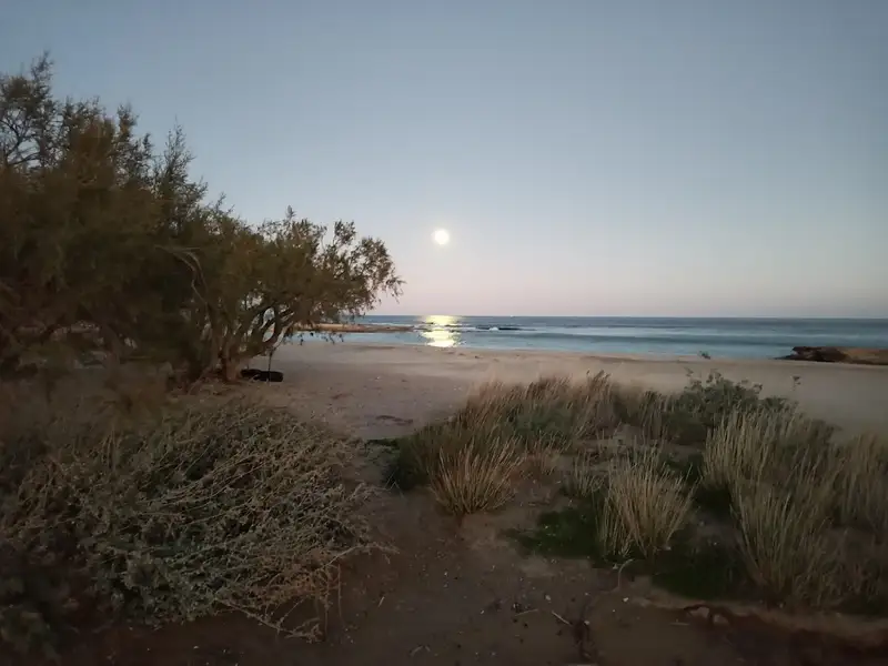
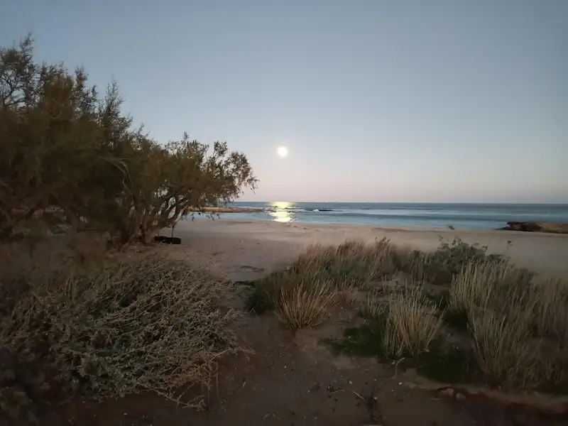
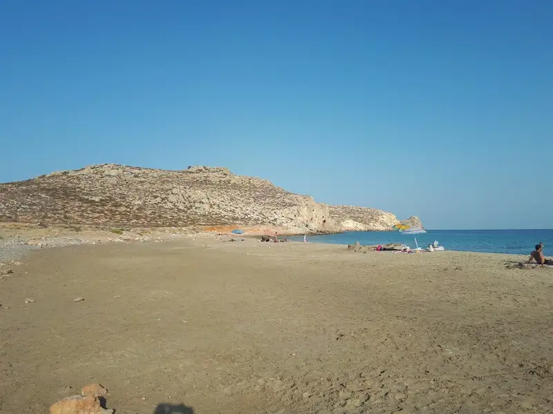
Livari, a secluded area situated 90km southeast of Agios Nikolaos and 7km east of Goudouras on Crete Island, is often a solitary spot. Just 2km east stands the power plant of Atherinolakkos, the only blemish on the otherwise pristine landscape. Livari boasts two pebbly beaches and numerous small coves, perfect for those seeking privacy or practicing naturism. While there is a lack of shade, a few tamarisk trees on the east Livari beach offer some relief.
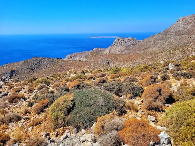
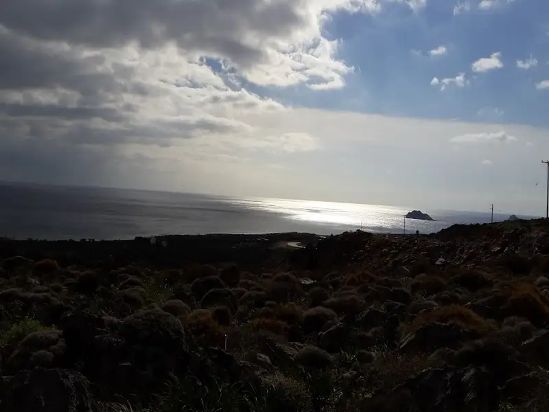
Swimming in Livari is a unique experience, offering stunning views of the surrounding wilderness, including barren mountains, steep canyons, and the exotic island of Koufonissi. In addition to Livari’s main beach, you can drive west past a small group of 3-4 cottages to reach the lengthy eastern beach of Vlyhada. The name Vlyhada, meaning a place with brackish water, comes from a year-round spring located nearby. The beach is bordered by a dirt road and tall reddish walls.
Getting to Livari from Goudouras involves taking the road to the Atherinolakkos power station. After 4km, you’ll reach a junction where the right road leads to the factory and the local fishing lodge. Instead of taking this route, continue straight to the village of Agia Triada for another 1km until you reach a junction on the right that leads to Livari beach. The road initially starts as a paved path but eventually transitions into a manageable dirt track.
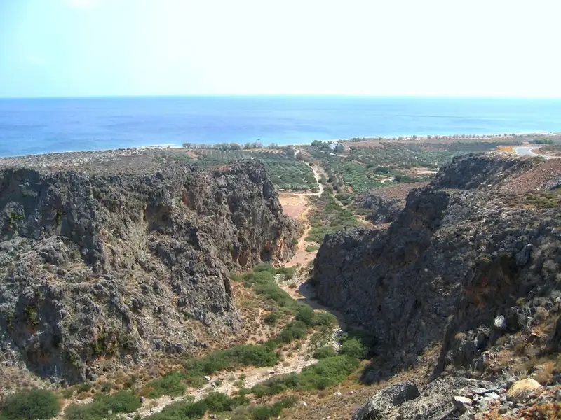
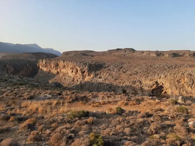
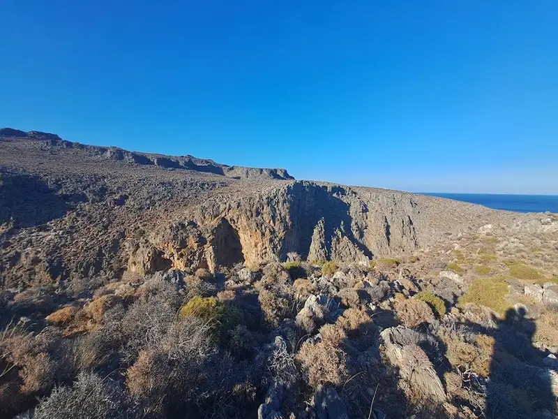
If you journey eastward from Vlyhada beach at Livari near Goudouras for about an hour, you’ll eventually stumble upon the two abandoned beaches of Tihida. The surrounding region is riddled with caves and features wall-like rock formations, hence the name Tihida (Greek for ‘wall’). These formations provide much-needed shade during the hot summer months. Further east of the smaller beach, you’ll encounter the expansive Tihida beach, which sits at the mouth of the Tihida Gorge and is somewhat challenging to access. Proceeding further eastward, you’ll discover the majestic, elongated Karavopetra rock emerging from the sea.
The quaint and secluded village of Agia Irini is nestled 98km southeast of Agios Nikolaos and 11km south of Ziros village. Accessible through dirt tracks originating from either Kalo Horio or Hametoulo, the village is the gateway to the rugged Agia Irini gorge, which leads to a hidden cove across from the tiny islet of Hamili.
The beach boasts pebble shores and pristine blue waters, making it one of Crete’s most remote beaches. Its location away from bustling city centres, shrouded by towering cliffs and jagged rocks, makes it a serene escape. To reach this beach, one can either navigate the formidable gorge, drive along the dirt track from the village or sail by boat from Goudouras or Xerokambos. The beach is lined with tamarisk trees, offering a perfect spot for solitude. A trail also extends from Agia Irini Gorge to Xerokambos harbour.
The Agia Irini gorge consists of two parallel canyons that converge near the sea, where the dirt road to the beach lies. The canyons, with their rocky terrain, steep inclines and towering walls, offer a wild and untamed landscape. The westernmost canyon, in particular, can be quite daunting and risky for inexperienced hikers. A hike through the gorge, starting at an altitude of 500m near the Hametoulo settlement and descending to sea level, can take between 2-3 hours and can be quite strenuous on the knees.
No results available

The archaeological site of Trypitos can be found on a small peninsula, 3km east of Sitia, close to the beach Karavopetra, which boasts a breathtaking view of Sitia city and its port. It is believed to be the ancient city of Sitia, Itia, which was initially one of the ports of Praesus. The city thrived during the Hellenistic period (350BC – 50BC).
In 1967, a shipshed (a building used for storing vessels) was discovered in a trench measuring 30m in length, 5.5m in width, and 5m in height. Due to this cavity, the site was given the name Trypitos (meaning hollow in Greek).
Archaeologist Nikolaos Papadakis began the first extensive excavations in 1987, and they are still ongoing. The city extends across the entire peninsula, with a strong wall protecting its southern side. Inside the walls, there were houses, public buildings, and streets. Numerous pottery works, jewelry, and coins from the city have been found in the area. In fact, while exploring the antiquities, you will come across many potsherds.
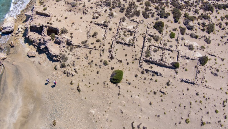
The thin yet often wavy stretch of sea dividing the islands of Koufonissi from the opposite coasts of Crete did not hinder the continuous presence of humans in ancient times. The ancient name Lefki (meaning white) was inspired by the shimmer of white limestone and marl in the sunlight.
Koufonissi was an economic and cultural center from the Minoan until the Greco-Roman Times and was claimed by all major cities of the region. As recorded on the inscription of the Magnites, currently embedded on the facade of the Toplou monastery church, there was a significant dispute between Itanos and Ierapytna about the island. In 132 AD, the island was owned by Itanos.
The history of the islands is closely tied to sponge fishing and processing of Tyrian purple, the red dye used by Ancients and Byzantines, which was extracted from the gastropod Murex brandaris. According to Aristotle and Pliny, live shells were collected in early autumn or winter and were then put in pots until many of them were gathered since each shell produced just one drop of dye. After that, the smaller shells were broken with stones. The larger mollusks were pierced and then a small gland called “flower” was extracted. Then, they put the milky liquid in salt, added a little vinegar, and left this in the sunlight. Its color turned red from yellow and was then diluted or condensed with boiling. The dye, the Tyrian purple, was sold at that time as it weighed in silver. If they added hyacinth blooms, the color was violet, but it was considered of inferior quality.
In 1976, excavations began on the island, uncovering remarkable findings. On the northwest edge of the island, at Anemertia, opposite the Marmara islet, and a short distance from the beach, the excavations revealed a well-preserved stone theater. The auditorium was damaged only on its west side, while a significant part of the central seats has completely disappeared. The auditorium has twelve rows of seats and a maximum length of 34 m. The distance of the twelfth row to the orchestra floor reaches 6 m. It is estimated that the auditorium could accommodate about 1000 people.
The orchestra, almost chamber, was paved with clay tiles. The stage, completely corrupt in its western part, should have a length of 20m while the width is estimated at about 9m. At the eastern end, one can make out the paraskenion, the pulpitum or stage, the hyposkenion, and also the east parados which was vaulted. The theater had rich decoration, which was vandalized. The theater was destroyed and burned with ferocity at the end of the 4th century.
East and south of the theater, the excavations revealed a settlement that seems to have been destroyed, such as the theater. Excavations have unearthed a large house or villa of which 8 proper rooms still exist. One enters through a small but impressive porch (propylon) facing the road which leads to the east parados of the theater. The kitchens were identified and also the household workshop for the preparation of purple dye. Two formal rooms for entertaining were found with mosaic floors of black and white geometrical designs (based on the rhombus and the cross) framed by a surround. In the main part of the settlement, other houses have been excavated; 16 rooms have been cleared – probably houses of fishermen since installations for the preparation of purple dye were found and also fishing equipment such as hooks and lead weights for nets.
The most important building of the settlement – following the theater – is the imposing building of the Public Baths (Balinea), which was in use from the 1st to the 4th AD century. The pathological love that Romans had for the public baths, combining physical cleaning with training and discussing, is well known. The Baths building was necessary not only in cities but also in small dorps. In rich houses, there was a separate area, a miniature of the public Baths (Balinea), while the imperial Baths (Thermae) were famous for their luxury.
The Bath complex of Koufonisi includes all the spaces that followed the standards of the Roman Baths: Around a garden, there are rooms such as that for the central heating system (whose walls are preserved at a height of 4 m), two hypocausts (perhaps for men and women separately), baths for sweating, warm, hot and cold bath, and changing rooms. Luxury is still visible in some rooms, in the preserved parts of the marble floor and walls. A large number of vaulted tanks with pipelines is impressive. They were used to bring water from the springs located north of the Temple to the other side of the island.
In the south part of the island, a temple was found, which unfortunately has suffered from predatory looting from the authorities (in 1920) to build a huge lighthouse, only 5m from the eastern short side of the temple where the entrance would have been, even though another stepped entrance was found on the north side. The overall dimensions of the temple were 18m x 15,7m with a crepidoma, while next to the north-west corner two large pieces of the colossal cult statue of the temple seen were found. This represented a deity enthroned on a cube-shaped seat. The fragments found are: a part of the seat with the left side of the pelvis, and the right leg from the draped or folded waist of the garment down to the ankle. Unfortunately, it is very damaged, but it appears to be of the Hellenistic period, and the height of the whole statue must have been over 2,50m.
The rest of the statue, however incredible it may seem, must have been broken up by the workmen and used as building material for the lighthouse (which was bombed in 1944). Here the lumps of marble can be seen wedged among the other stones, also the huge symmetrical blocks which were uprooted from the temple of which only the steps and the filling remain – even the flooring has disappeared. As if all this were not enough, in more recent years, a metal automatic lighthouse pylon (now removed) had been set up over the floor of the temple, placed perhaps, who knows, by the ironical hand of fate right where the colossal statue of the deity, worshipped by the people of Lefki, used to stand in all its splendor.
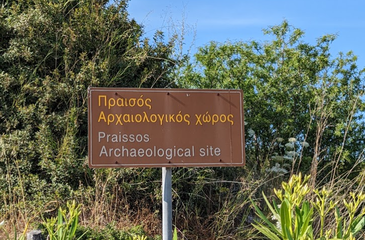
Praesus (now known as Pressos) stood atop three hills, approximately 13km south of Sitia and a mere 2km from today’s Nea Pressos, formerly Vaveli. Established by the Eteocretans, who fled the Minoan cities after the Dorian invasion around 1100 BC, they settled in Crete’s secluded regions. Two ports served Praesus, one near Sitia (Etea) and another on the southern coast (Stales).
Initially, the Eteocretans maintained their Minoan traditions, language, and religious practices. Archaeological finds here include inscriptions in the Minoan language using Greek characters, offering significant insights into deciphering the Minoan language. Over time, the city adopted a democratic constitution, akin to the Dorian city-states.
All its hills functioned as strongholds, with the tallest encircled by a defensive wall and remnants of a grand mansion. One hill reveals traces of an altar and various artefacts from sacrificial rites. Remarkably, an athlete’s tomb was discovered here, along with possible Panathenaic Game awards.
As a dominant Cretan city, Praesus minted its own coins bearing various icons like Hercules and Zeus. The city vied with Itanos and Ierapytna for control over Palekastro’s Zeus temple and Koufonissi island. However, by 155 BC, Ierapytna overpowered and razed Praesus, leading its inhabitants to retreat to the Etea port and establish New Praesus.
Italian archaeologists Halbherr and Mariani initiated the site’s excavations in the 1880s. Presently, visitors can explore a sprawling archaeological area dotted with ancient churches, temples, fortifications, and more.
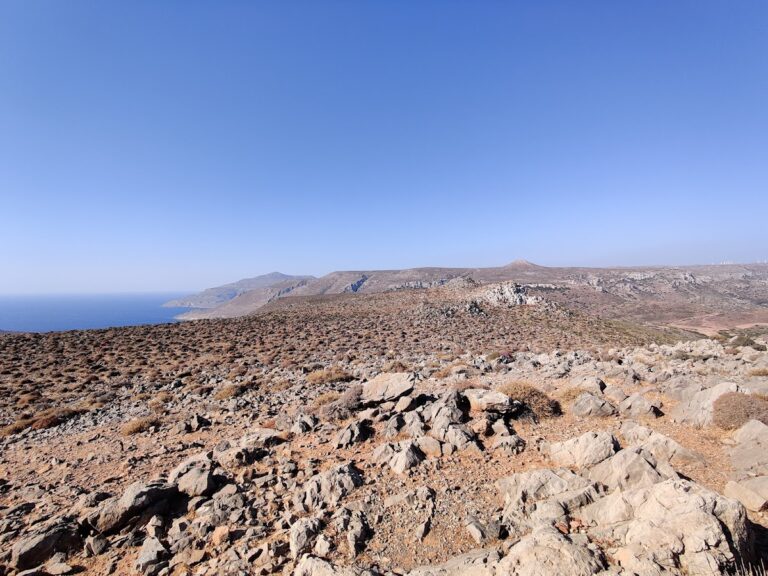
The hill Katrinia in the area of Piskokefalo, province Sitia, was home to one of the most significant peak sanctuaries of Minoan Crete. Pilgrims from nearby regions would visit to worship their gods and offer their tributes. In this area, three sacred caves have been discovered, similar to other peak sanctuaries in Crete (e.g. Giouchtas, Pirgos near Tylissos, etc.).
In 1952, archaeologist Nikolaos Platon uncovered some of the most important Minoan pottery findings up to that point. Regrettably, looters had previously discovered numerous figurines. Among Platon’s many discoveries were male and female figurines with intricate hairstyles, providing valuable insights into the appearance of the Minoans.
Additionally, numerous vases, beads, and an unusually large number of clay scarabs were found. Furthermore, archaeologists discovered replicas of temples featuring the Minoan double horn in their cornice.
No results available

Located at the northeastern edge of Crete, near the base of Sidero Cape, Toplou Monastery is situated 10km east of Sitia and 6km north of Palekastro. This historic monastery, one of Crete’s most significant, is known for its extensive real estate holdings. In religious contexts, it is referred to as the Monastery of Panagia Akrotiriani, while locals simply call it the Great Monastery.
Although Toplou is a 2.5-hour drive from Heraklion, it is worth visiting, as you can combine the trip with visits to the area’s beautiful beaches, the ancient Itanos site, and the renowned Vai palm grove. This part of Crete is one of the most arid and inhospitable, and the persistent strong winds have led to the establishment of one of the island’s first wind farms.
The monastery is secured by a 10m high wall that has protected it from enemy invasions. It covers an 800 square meter square area and features three floors, 40 rooms, and a 33m high bell tower. Legend has it that the monastery has 100 doors, but only 99 have been discovered. A well with water, which sustained the monks during various sieges by Turks and pirates, is located in the center of the monastery. Opposite the well is a two-aisled basilica dedicated to the Virgin Mary and John the Theologian.
The entrance to the monastery is on the west side of the fort, and its robust door is mounted on wheels. Above the main entrance, there is a hole known as the “killer” where monks would throw stones or pour boiling hot liquids onto anyone attempting to break through the door.
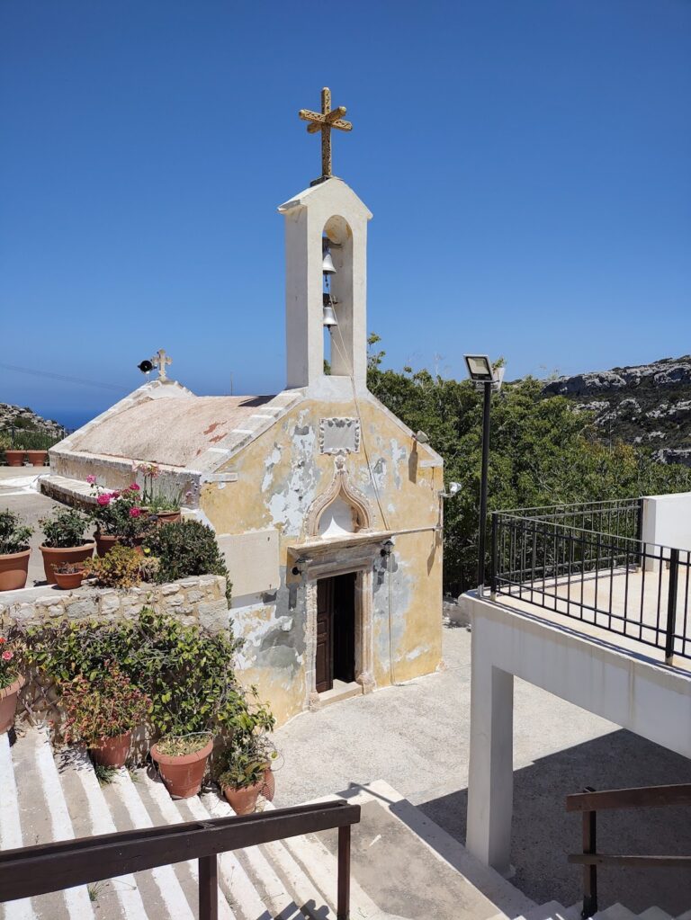
The Panagia Faneromeni Monastery (Revealed Virgin Mary) can be found in the Trachilas area of Sitia, situated on the brink of a steep region between Cape Trachilas and Babakia. It is approximately 1.5km from the sea and 8km west of Sitia town. The monastery is nestled in a verdant area beside the small Agii Pantes (All Saints) gorge, which is perfect for a leisurely stroll. Numerous caves within the gorge once served as the homes of the monastery’s hermits.
At the heart of the monastery lies a two-aisled church dedicated to the Assumption (celebrated on 15 August) and St. George (3 November). The church is adorned with ancient frescoes dating back to 1455, though they have been blackened by a fire, likely caused by the Turks. Surrounding the courtyard are several small structures that form a tiny settlement where pilgrims stay during the monastery’s celebrations in August. In addition to these modern buildings, there are six ancient monk cells that retain their medieval architectural style. Visitors can also see the “Big Cell” with its medieval arch, which functioned as an olive oil mill (fabrica), and the “Oven-house,” where monks prepared their bread.
The name Faneromeni (=Revealed) originates from the icon of the Virgin Mary that once appeared in the small “Hermit’s Cave” located next to the temple’s sanctuary. According to legend, a shepherd discovered the icon in the cave and placed it in his bag along with his lunch. When he arrived home, he asked his wife to open the bag and look inside, but she only found food. The following day, the shepherd returned to the cave and saw the icon had reappeared in the same spot (=> Faneromeni). Despite taking it with him again, the same sequence of events occurred twice more. He then realized that it was the Virgin Mary’s will to remain there and enlisted two monks to construct a monastery at the site. To this day, the small icon is preserved in the cave’s crevice.
Presently, the monastery is almost deserted, with crowds of pilgrims only arriving on the 15th of August from the surrounding area. A traditional ceremony takes place at this time, during which the icon of the Virgin Mary, known as the “Revealed Lady,” is carried on foot from the St. George church in Skopi, accompanied by the pilgrims.
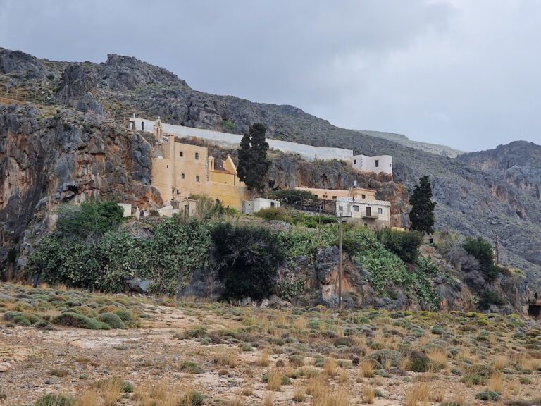
The Kapsas Monastery of St. John is situated 9km east of Makrigialos, adjacent to Goudouras, and is owned by the Toplou Monastery near Sitia. It is dedicated to the Beheading of St. John the Baptist, which is commemorated on August 29.
This monastery is constructed like a fortress on a steep, rocky slope above the sea, along the edges of the stunning Pervolakia gorge. A picturesque pebble beach can be found in front of the monastery.
It is said that the monk Joseph Gerontoyannis, who lived in a nearby cave, made the monastery famous due to his miraculous abilities. He was able to experience divine visions, walk on the sea to the neighboring island of Koufonissi, and cure any sickness. Today, he is honored on August 7.
No results available
No results available
No results available
No results available
No results available
The Agia Irini gorge, located near the quaint town of Ziros, begins from the Agia Irini village and concludes at the stunning Agia Irini beach. An ancient path through the gorge leads to the Xerokambos area. Before reaching the sea, it converges with the Platyvolo gorge, which drains the small Hametoulo plateau where a dirt road leads to the beach.
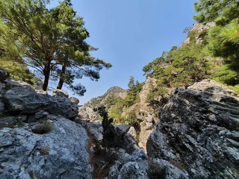
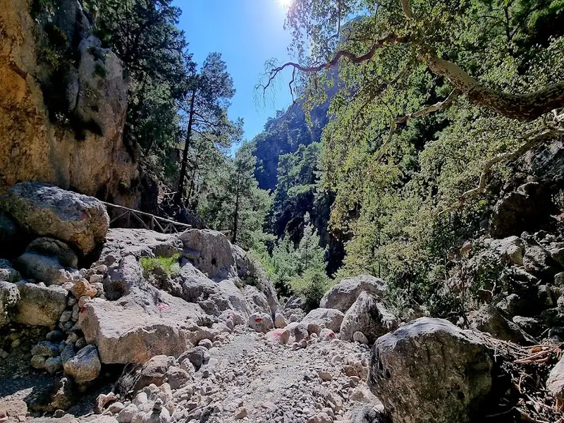
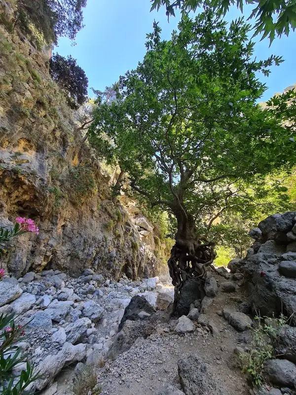
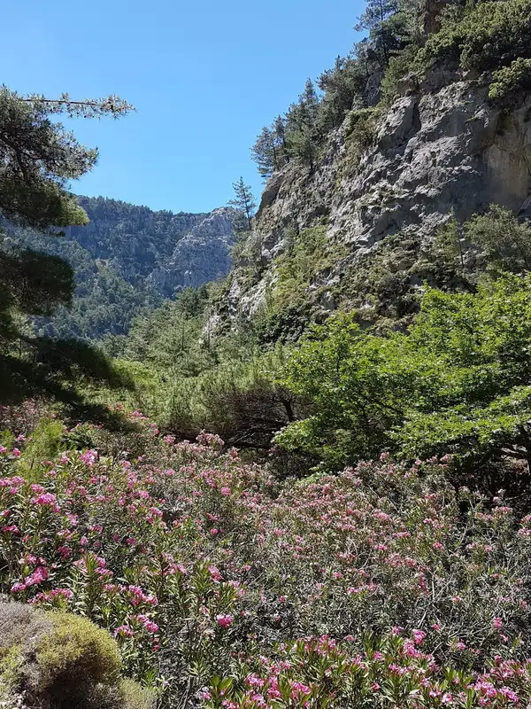
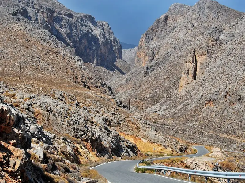
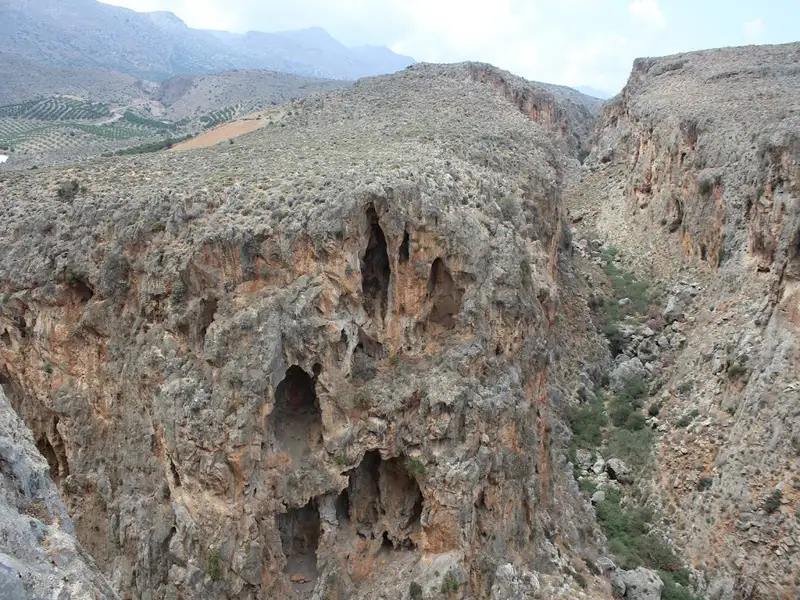
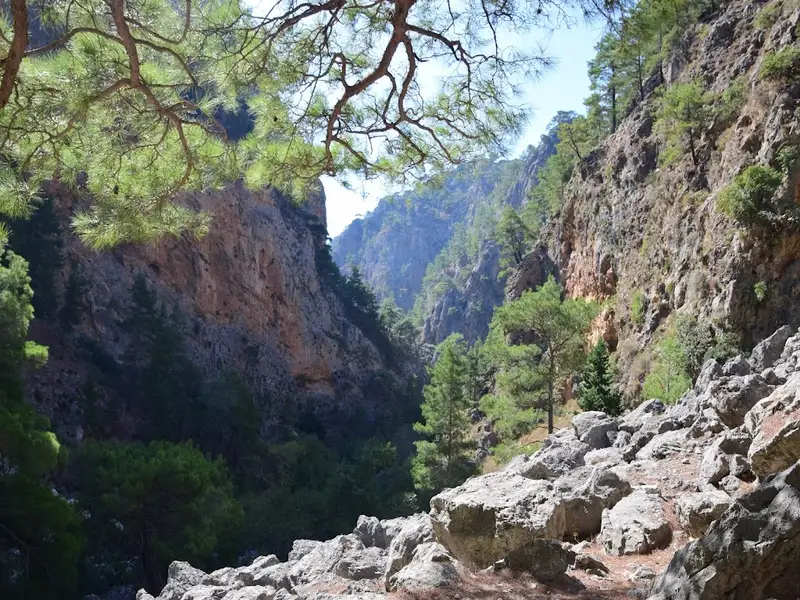
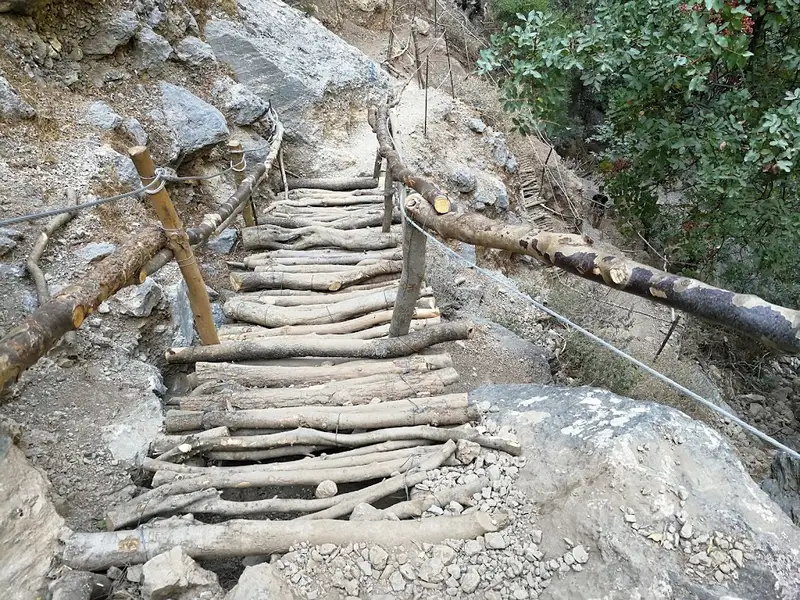
Both gorges are rugged and untamed, characterized by steep inclines and towering walls. The westernmost branch, in particular, can be intimidating and hazardous for those unaccustomed to canyon hiking, though it doesn’t require any technical skills. A hike through the gorge typically takes between 2 to 3 hours, depending on your speed. The steep inclines, which start at an altitude of 500m and descend to sea level, can put significant strain on your knees. There are no marked trails, so hikers must navigate their own way.
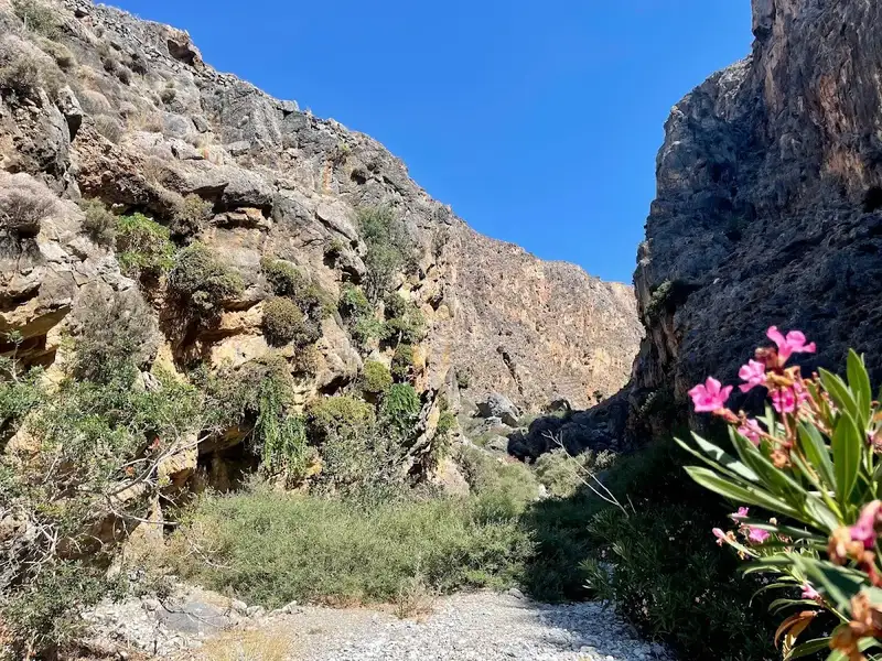
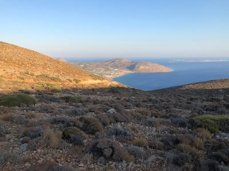
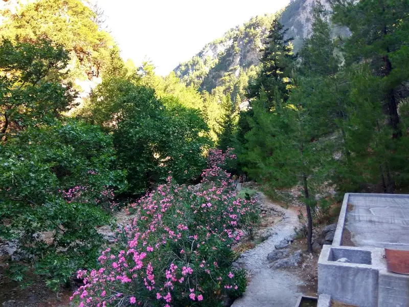
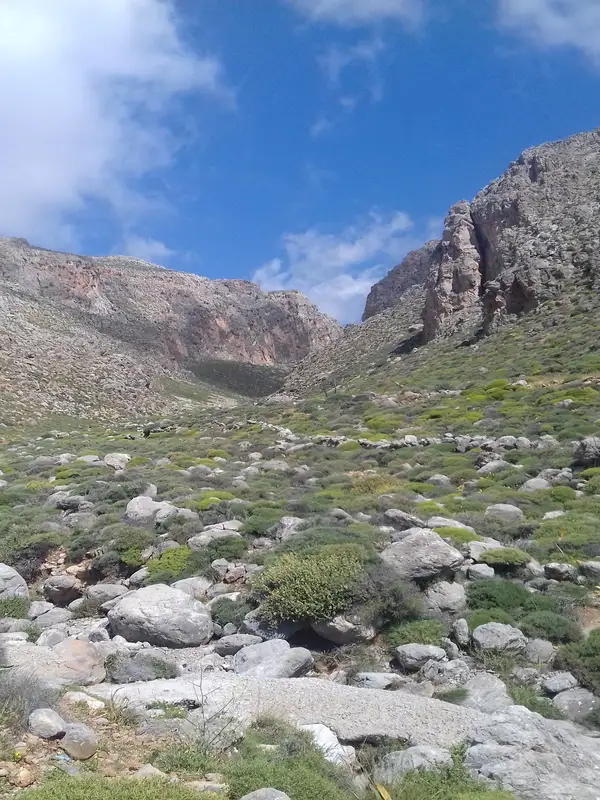
The Xerokambos Canyon, also known as Ziros Canyon, Hamaitoulo Canyon, or Lamnoni Canyon, is among the driest gorges in Eastern Crete. This gorge once served as a pathway from Ziros to Xerokambos. A hike through this gorge is relatively easy, taking roughly two hours to complete. The canyon is renowned for its rugged charm, featuring towering bare walls and sparse vegetation. As you traverse the gorge, you’ll be able to glimpse the expansive South Cretan Sea in the distance. During the summer, the area can become quite hot with little shade available. It’s recommended that one person in your group drives to the top entrance of the canyon at the small Lamnoni plateau or to the second entrance near Hamaitoulo village, then meets the rest of the group in Xerokampos. There, they can enjoy the area’s stunning sea views and emerald beaches.
Traveling from Xerokampos to the Ziros plateau, the gorge’s exit is clearly visible. From Ziros, head towards the abandoned Lamnoni settlement, approximately 4 km east. Here, you can follow the ravine that soon becomes the gorge. Initially, you’ll come across a small water fountain and may need to open a few gates to allow goats to graze. From this point, you can enter the gorge and walk towards its exit near the Ziros – Xerokampos road. The gorge then extends to Lygia beach.
The Katsounaki Gorge is situated in the arid region of Eastern Crete, to the east of the Xirokambos community. It is essentially a combination of three parallel gorges that converge before they reach the shoreline. These gorges serve as a water transportation system from the eastern portion of the Sitia mountains.
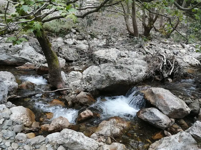
The river that flows through the gorge eventually leads to the Potamos beach, which is adjacent to the stunning sandy beach of Alona. Trekking through the canyon is a simple task and the scenery, with its towering walls, is truly untamed. An alternative option is to walk in the opposite direction starting from Alona.
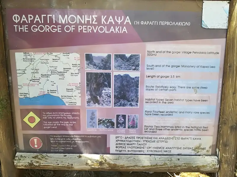
The Kapsas gorge, a wild and majestic natural wonder, is situated 8-9km to the east of Makrigialos and 33km to the east of Ierapetra. It is also known as Pervolakia, named after the charming and remote village located near its northern entrance. While in the area, it’s worth taking a stroll through the neighboring traditional village of Pezoulas, known for its stunning houses. The gorge concludes by the Kapsa Monastery, opening up to the Libyan Sea. Here, visitors can enjoy a peaceful swim on the serene pebbly beach, just opposite the gorge’s end.
The gorge spans approximately 4km, and hiking through it is a moderately challenging task. The trek takes around 2 hours if you decide to start from the southern end (the Monastery) and head towards Perivolakia. However, if you opt for the less strenuous route, descending from Perivolakia to Kapsa Monastery, it takes roughly 1.5 hours.
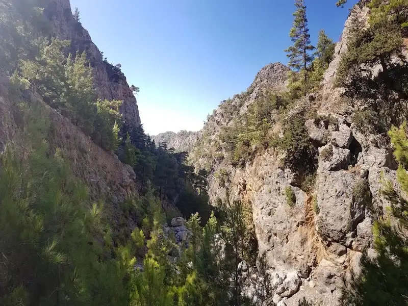
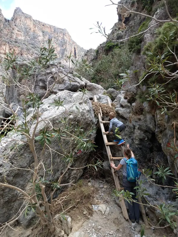
The gorge’s interior is a sight to behold, characterized by towering walls and sparse vegetation, giving it a desolate and arid appearance. The trail features several climbing points and signposts. The road that links Makrigialos and Goudouras runs adjacent to the gorge’s exit, near the Monastery. Public transportation is available, with buses running between Goudouras and Ierapetra. Alternatively, you can drive to Pervolakia or Kapsa Monastery and then hail a taxi in Makrigialos to return to your vehicle.
The gorge is also a habitat for one of the rarest plant species in Crete, the Limonium of Cornaros (limonium cornarianum). This plant is found only in certain limestone maritime rocks within the gorge and a tiny islet named Agia Fotia.
No results available
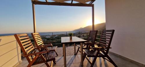
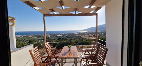
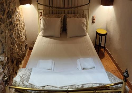
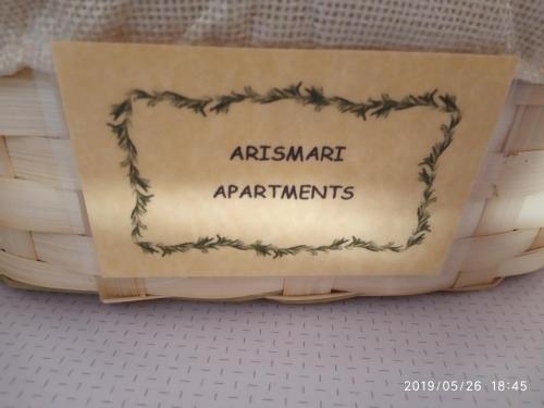
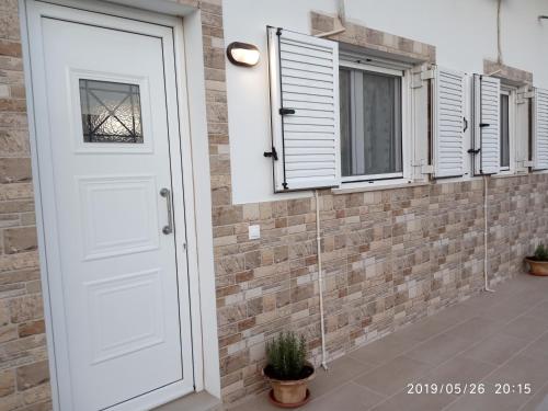
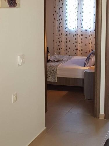
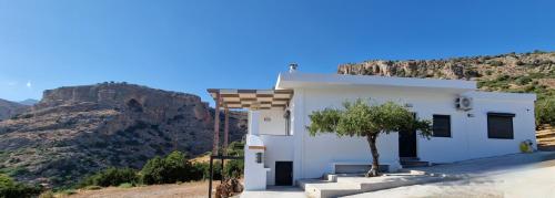
Set 47 km from Vai Palm Forest, Arismari Apartments offers accommodation with free WiFi and free private parking.
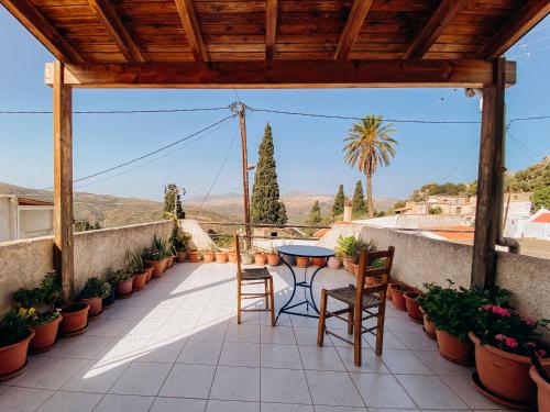
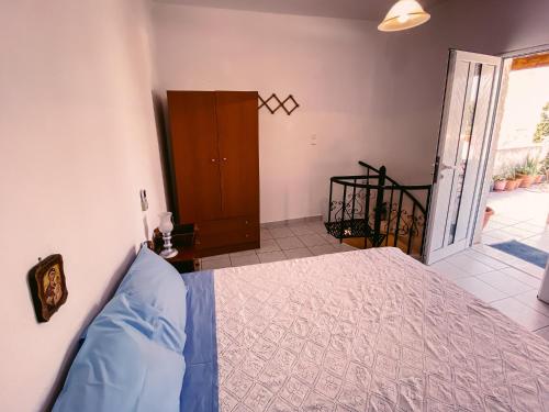
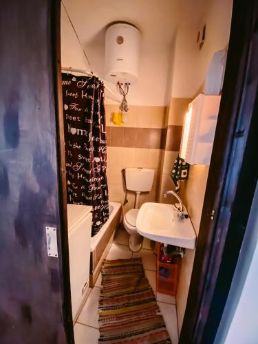
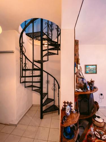
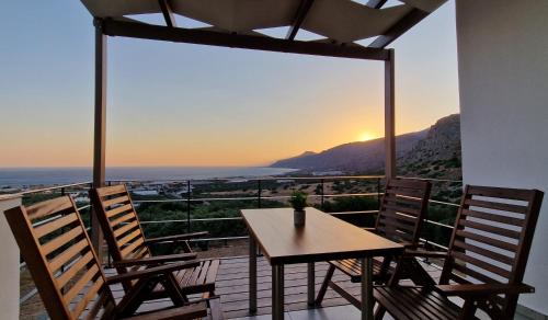
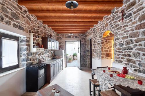
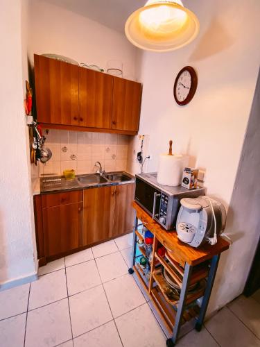
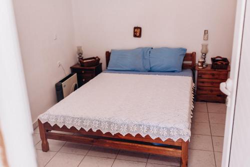
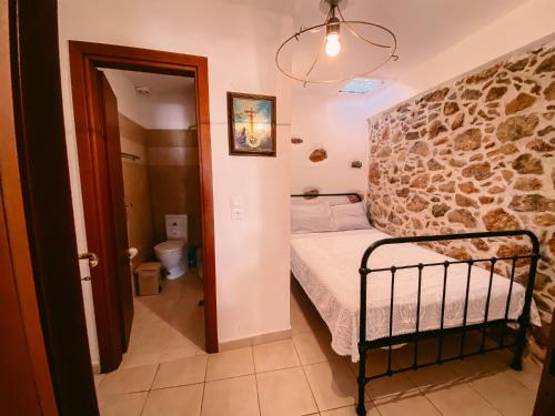
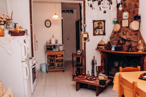
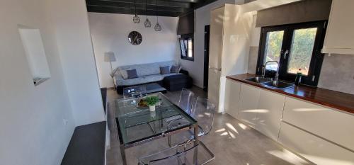
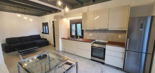
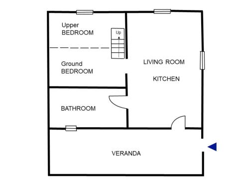
The apartment provides guests with a terrace, mountain views, a seating area, a flat-screen TV, a fully equipped kitchen with an oven and a toaster, and a private bathroom with bath and a hair dryer. A fridge, a stovetop and kitchenware are also featured, as well as a coffee machine and a kettle.
The nearest airport is Sitia Public Airport, 29 km from Arismari Apartments.
from
€65
/night
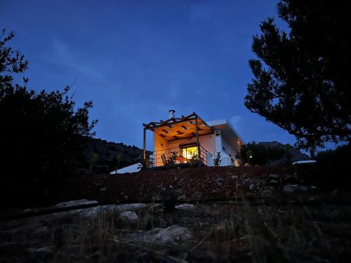
Located in Sitia within 37 km of Vai Palm Forest, HILL SANDALI HOUSE provides accommodation with free WiFi, a flat-screen TV and a kitchen.
Some units include a seating area and/or a balcony.
The apartment offers a sun terrace.
The nearest airport is Sitia Public Airport, 15 km from HILL SANDALI HOUSE.
Casa di Olive, all seasons accommodation is situated in Goúdhouros and offers free bikes. This property offers access to a balcony, free private parking and free WiFi.
The villa features 3 bedrooms, 2 bathrooms, bed linen, towels, a flat-screen TV with streaming services, a dining area, a fully equipped kitchen, and a terrace with sea views.
The villa offers a picnic area. Guests at Casa di Olive, all seasons accommodation can enjoy cycling nearby, or make the most of the garden.
The nearest airport is Sitia Public Airport, 43 km from the accommodation.
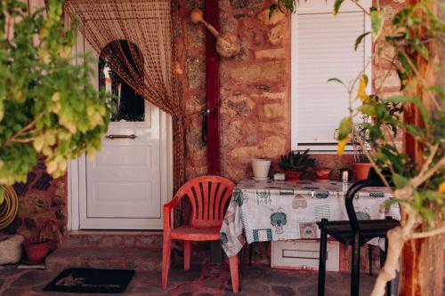
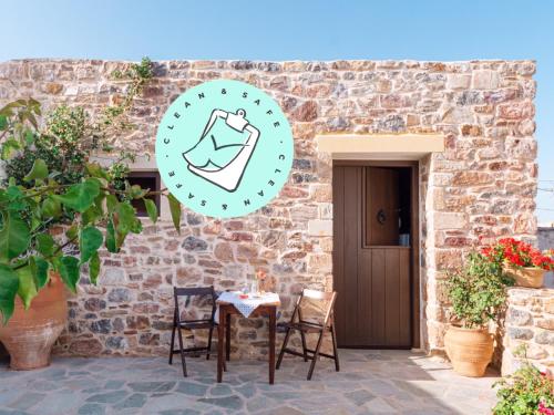
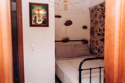
Featuring inner courtyard views, Traditional Cretan House Lithostrati Karidi Village offers accommodation with a patio and a coffee machine, around 31 km from Vai Palm Forest. It features a garden, barbecue facilities, garden views and free WiFithroughout the property.
The holiday home is fitted with 1 bedroom, 1 bathroom, bed linen, towels, a TV with streaming services, a dining area, a fully equipped kitchen, and a terrace with mountain views.
The holiday home offers a picnic area. A car rental service is available at Traditional Cretan House Lithostrati Karidi Village, while cycling and walking tours can be enjoyed nearby.
The nearest airport is Sitia Public, 25 km from the accommodation, and the property offers a paid airport shuttle service.
from
€76
/night
No results available
Connect with thousands of Crete visitors and boost your bookings.
No results available
© All rights reserved. Crete Locals