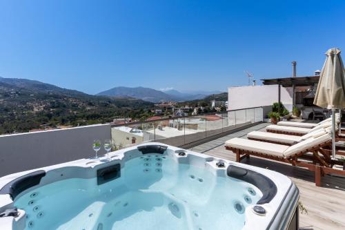
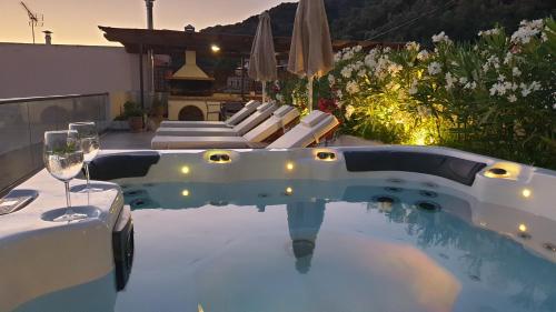
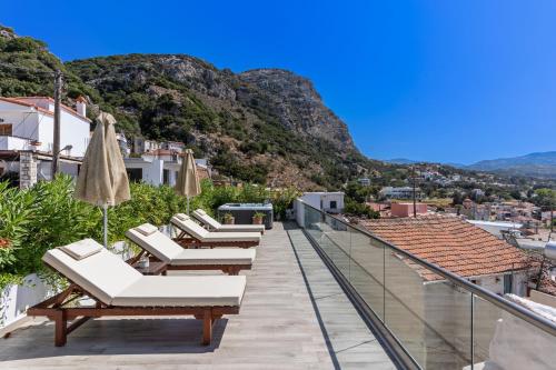
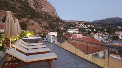
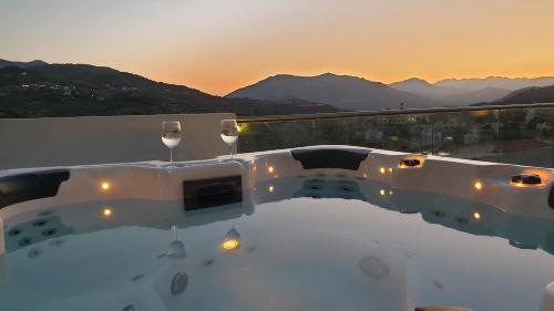
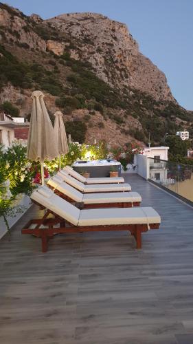
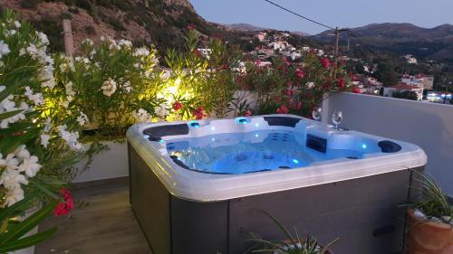
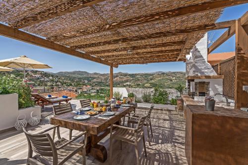
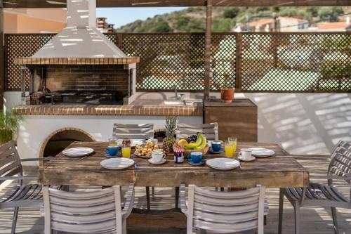
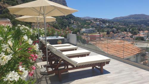
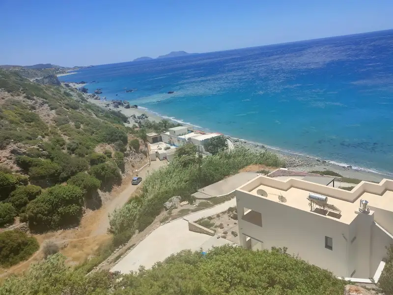
Featuring air-conditioned accommodation with a balcony, Casa Sofia Apt#2 is set in Spílion. This property offers access to a terrace, free private parking and free WiFi.
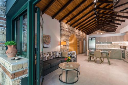
This apartment is fitted with 2 bedrooms, a kitchen, a flat-screen TV, a seating area and 1 bathroom with a bath.
The apartment offers a barbecue. A car rental service is available at Casa Sofia Apt#2.
Archaeological Museum of Rethymno is 27 km from the accommodation, while Museum of Ancient Eleftherna is 33 km away. The nearest airport is Chania International, 94 km from Casa Sofia Apt#2, and the property offers a paid airport shuttle service.
Spili
No results available
Find below list of things to do near Casa Sofia Apt#2:
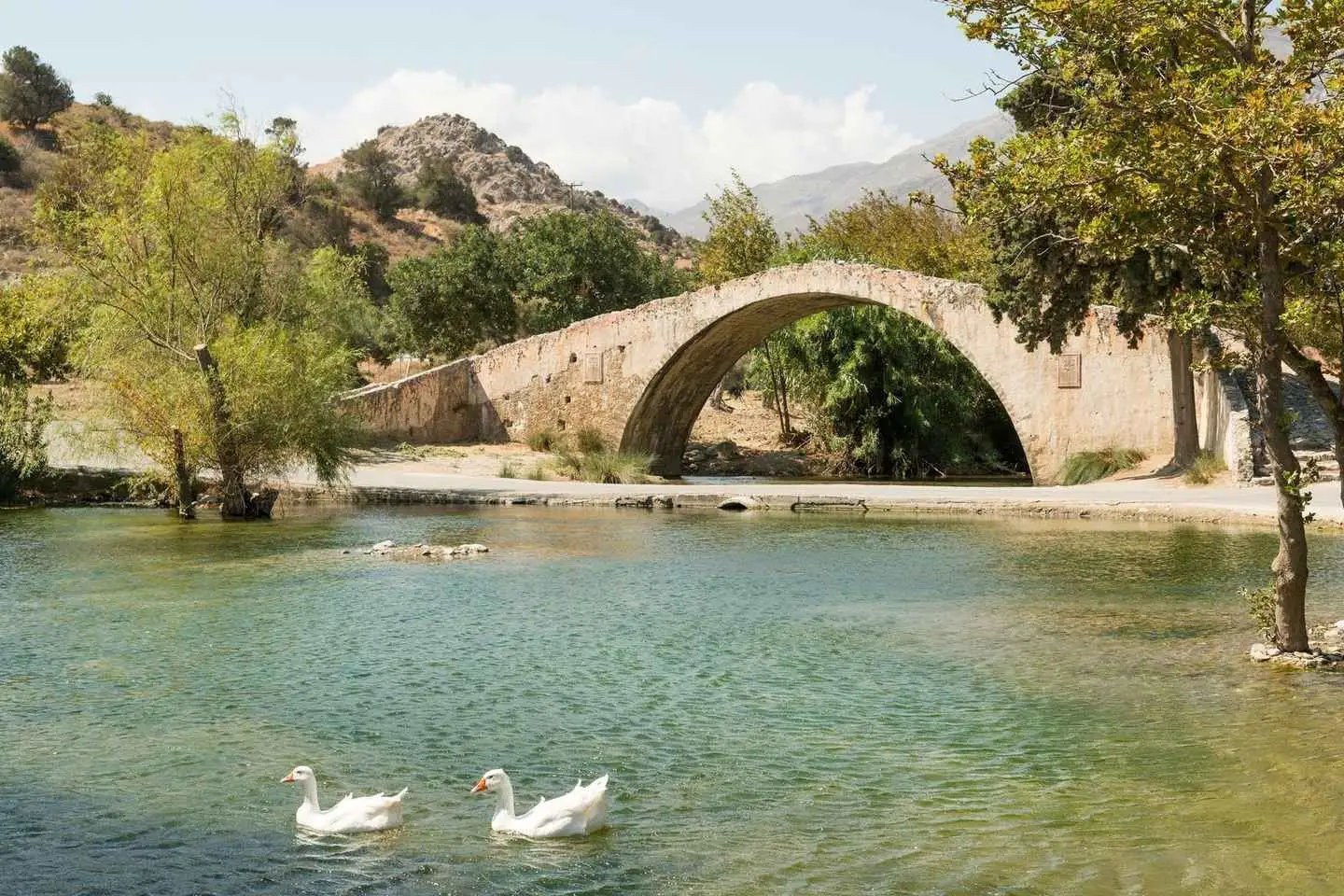


Experience Cretan nature with a local guide on this day tour. Pass through olive groves and traditional villages, smell wild flowers and herbs, and admire the natural beaches of the South Cretan Sea.
Commence your tour by departing from Rethymno after meeting your guide. You’ll soon arrive at the dam that gathers water from the gorge of Patsos. There, take amazing photos of one of the most important lakes in the southeast Mediterranean, which also boasts many species of birds and animals.
Next, stop at the magnificent gorge of Patsos itself. See a small church in a rocky cave and pass through traditional villages before heading over to a higher point for a panoramic view of Rethymno and the two highest mountains of Crete. Afterwards, visit a botanical garden and discover Crete’s medicinal plants and flowers.
Take a break from walking and enjoy some tea as you bask in Cretan nature. Then, proceed to Spili, a village famous for its natural springs. Lastly, visit the Folklore Museum and end your tour by going to Plakias Beach for a swim with a view of the South Cretan Sea.
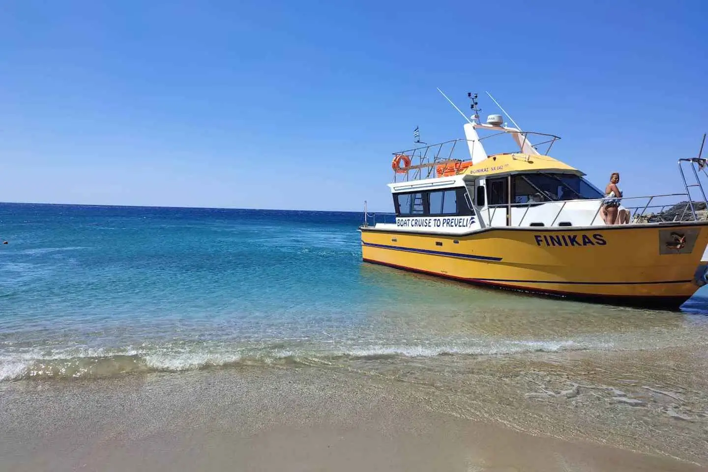
Visit Preveli beach, the Kourtaliotiko gorge, with hotel pickup and drop-off in Rethymno or Chania. Cruise aboard a boat on the Libyan sea, swim in crystal-clear waters, and relax on a sandy beach.
Start your tour from your accommodation where your guide will meet you. Take a short scenic drive through to Damnoni beach where your personal boat driver awaits. Find yourself in Preveli after a short, picturesque boat ride.
Enjoy a swim in the Libyan Sea at Preveli beach and feel free to explore the Kourtaliotiko gorge and marvel at the mountainous terrain. Connected to Preveli beach is a series of springs and waterfalls that lead into the gorge which can also be visited.
Discover a mixture of sandy beaches, lush forest, and mountains. Return to your accommodation on a route through the Kourtaliotiko gorge.
Discover 3 of the most famous beaches on the south coast of Crete. Travel through the wild Kourtaliotis Gorge where you will stop to see the magnificent waterfalls and the springs of the river Preveli that flow inside the gorge and which result in the river at Preveli Beach.
The first stop in the south is at the sandy beach Damnoni, where the boat is waiting to take you to Palm Beach Preveli at the south-end of Kourtaliotis Gorge, at the mouth of the river Preveli.
Enjoy some time for a splendid swim in the crystal clear waters of the Libyan Sea, sunbathe and relax, and embark on a short hike through the tropical forest.
Visit the south of Crete and stop at the viewpoint above where you will be able to enjoy a breathtaking view and take some fantastic pictures.
Hop on the boat to take you to Preveli, a unique mixture of the sandy beach and the green river which is flanked by palm forests and rocky surroundings. Here you will have time to enjoy the refreshing Libyan sea and the Cretan Sun.
Continue to the sandy beach of Damnoni, where the boat is waiting to take you to Palm Beach Preveli at the south-end of Kourtaliotis Gorge, at the mouth of the river Preveli.
Enjoy some time for a splendid swim in the crystal clear waters of the Libyan Sea, sunbathe and relax, and embark on a short hike through the tropical forest.
Hop back on the boat and return back to the sandy beach of Damnoni. The next stop is the small resort Plakias, situated in a natural bay. Here you can have lunch, go for another swim or do some shopping. We will take another road to return to Rethymno, driving through the impressive Kotsifou Gorge.
Morning Pickup:
We will start collecting participants from pick-up points in the morning.
Depending on the place of your hotel/apartment the bus drive to the destination will differ (between 2.5 – 4 hours).
1st stop: Damnioni Beach
Arrive by bus at the beach of Damnioni and embark on the boat which will take you to the unique Palm Forest of Preveli.
Boat Trip: 30 minutes
2nd stop: Preveli Palm Beach – 1 hour 30 minutes
Arrive at the famous beach of Preveli. Our participants will have plenty of free time to swim and explore a unique mix of sandy beach and green river flanked by palm forests and rocky surroundings.
Chill out and enjoy the exotic landscape of the south coast.
Boat Trip: 30 minutes
3rd stop: Damnioni Beach – 1 hour
Arrival at Damnioni, free time for 1 hour to enjoy lunch at a local tavern (optional, with extra charge).
Bus Drive: 20 minutes
4th stop: Kourtaliotiko Gorge – 10 minutes
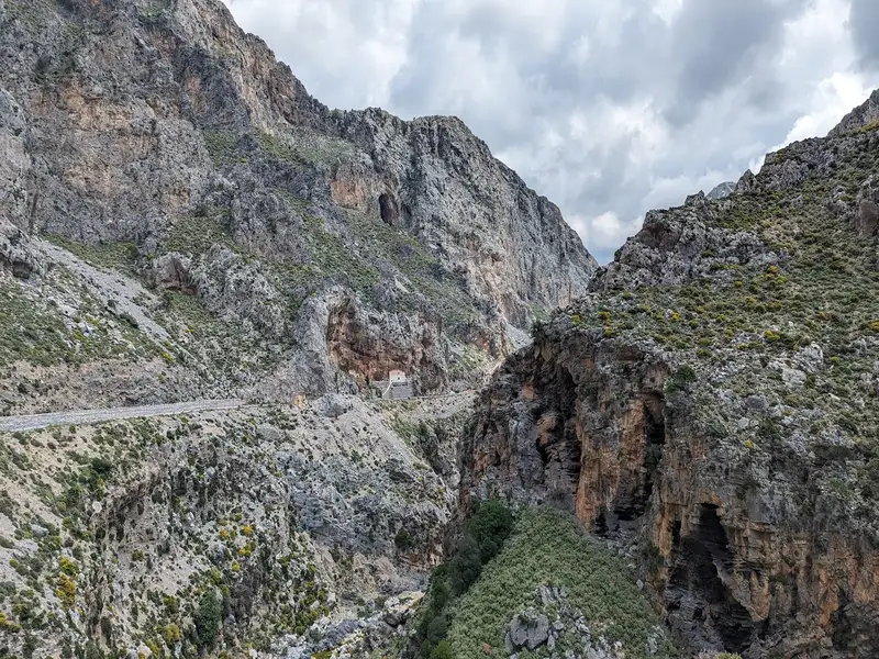
Experience the wild natural landscapes of Kourtaliotiko Gorge. Our participants will have 10 minutes of free time to admire the view of Cretan Nature and take some pictures!
Bus Drive: 30 minutes
5th stop: Rethymnon Town – 1 hour 20 minutes
Visit the picturesque old town of Rethymno. Enjoy your free time walking along the old port, its iconic small streets with local cafes, and its beautiful beach road.
End of the tour – Arrival at resorts:
Embarkation in the buses and drive back to the hotels where we gathered participants in the morning.
Bus Drive: between 2-3 hours
Depending on traffic and the hotel location, the time of the journey back to the hotel will differ.
Embark on a thrilling river trekking through the biggest gorge in Rethymnon, right in the center of the island of Crete.
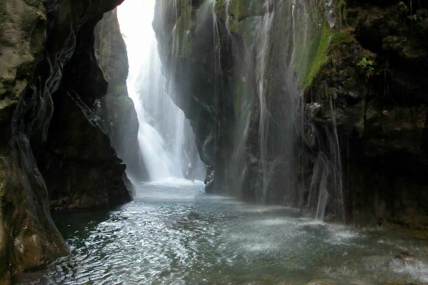
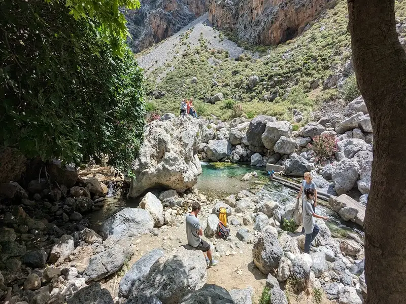
Follow the river’s shore through special paths away from crowds with our experience guide and get the chance to explore the hidden forest of the gorge, splash into natural pools, and witness the huge waterfall that falls into the canyon.
Once we arrive above the gorge we will provide you with neoprene suits, helmets, walking sticks and after a short briefing about the route that we follow, we immediately start the adventure!
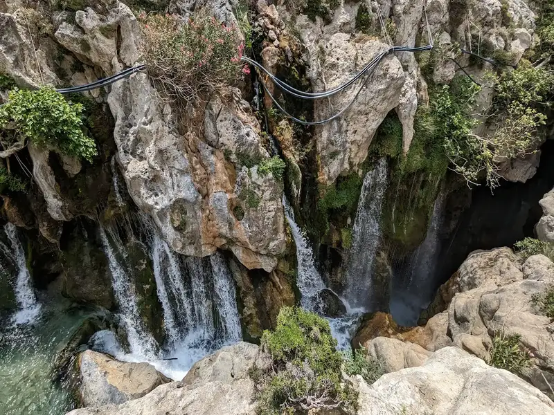
The first part includes an amazing view of the great waterfall! The flow never stops and the amount of water coming down from the mountains is simply amazing!
A small and safe jump will cool you up as the place is perfect for some instagramik pictures
We continue down the river by splashing into natural pools and having fun next to the river’s shore. Passing by the amazing route down the gorge, you will see some plane trees around us, which create the perfect scenery – A place away from crowds – you will love.
After walking for about 2 more hours into the gorge, we finally reach an old olive grove, which is our exit point from the gorge. There we will go at a hidden paradise on earth called “Banana Garden” to have a refreshment and talk about our experience!
Overall, the Kourtaliotiko Gorge trek is a moderate hike that is suitable for most fitness levels. It offers a unique opportunity to explore one of the most stunning natural wonders of Crete and is sure to leave you with lasting memories.
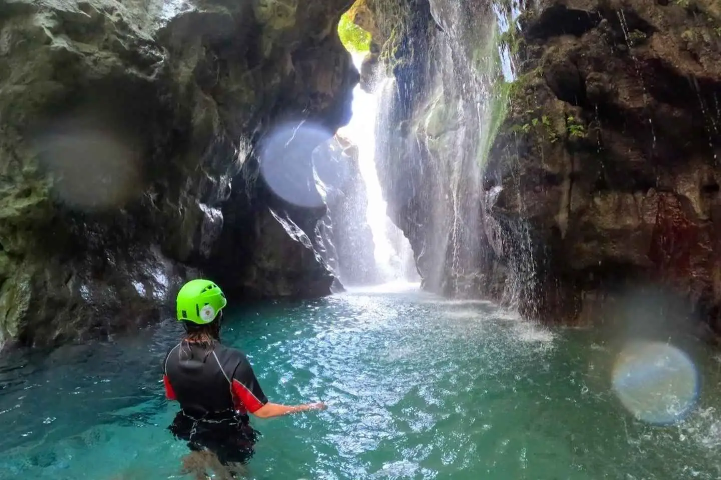


Join in a unique river trekking experience at the heart of Crete island.
You will discover the hidden wilderness of a Cretan gorge by hiking through it.
The walk starts by swimming to an amazing well hidden waterfall. Its power and greatness will impress you. Then we will follow the river’s bed splashing into crystal clear waters and natural pools having fun inside a beautiful natural landscape.
Our gorge is a unique ecosystem and you will have the chance to observe several amphibious animals such as frogs , colourfulll dragonflies , sweet water turtles and if we are lucky spot some vultures flying above us !
The middle part of the route is isolated from the crowds and suitable for everyone without demanding parts. Later on we will stop for a snack under some huge plane trees having time to swim around and prepare local tea for everyone! Before we finish our tour we will walk through some beautiful gardens with tropical vegetation and a typical Cretan olive grove.
Last but not least if you wish to have lunch follow us on a shady Greek taverna for some Greek tapas and a cold beer. We will provide you with the suitable equipmnet to enjoy the most of it .
No results available
Find below list of beaches near Casa Sofia Apt#2:
Kerames, a village situated 49km south of Rethymno, neighbors the village of Agalianos. It is surrounded by stunning beaches to its south, including the well-known beaches of Akoumiani Gialia, such as Ligres, Triopetra, and Agios Pavlos sandhills. Keramiani Giulia, or Keramean Beach, lies to the north of Akoumiani Gialia, its name derived from the nearby village.
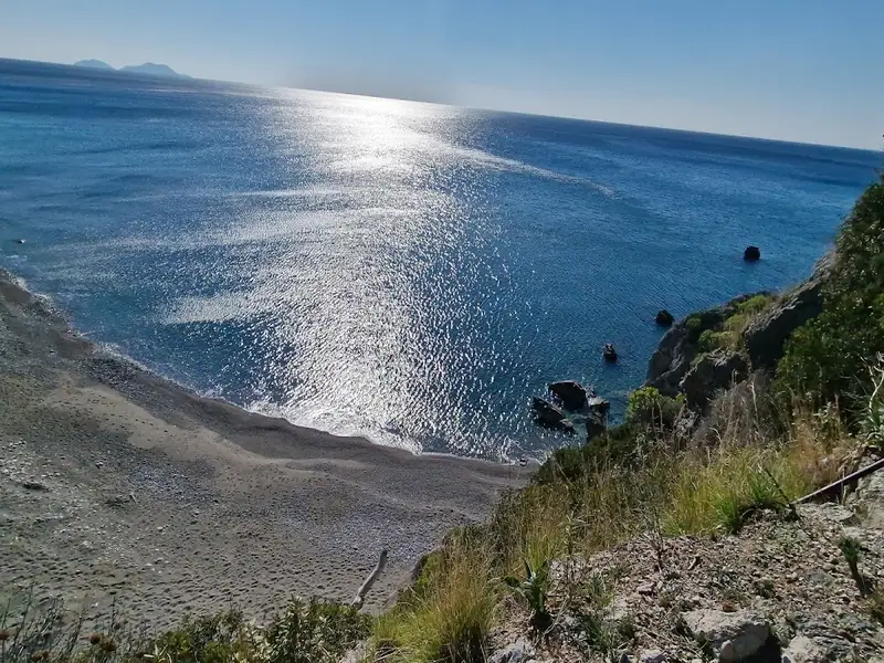
A somewhat dilapidated asphalt road leads to Keramiani Gialia, ending near the local harbour of Agia Fotini, also referred to as Agia Fotia. To the southeast of Agia Fotini, the primary beaches of Keramiani Gialia are located. A well-maintained dirt track from Agia Fotini leads to these beaches, the first being Podare. With its coarse sand and rocky areas, Podare is perfect for activities like fishing and snorkelling. Despite being an unorganized beach, it offers rental rooms for visitors.
After leaving Podare, a simple dirt road heads eastward, taking you past a large hill to a parking area situated near more rental rooms. Here, the road ends, and the beach on your right, Glima, begins. This sandy, secluded, and unorganized beach offers total privacy.
Continuing eastward on foot for about 100m, a towering sandhill becomes visible to your left. Pahia Ammos, or Coarse Sand, lies in front of the sandhill and provides an ideal spot for those seeking complete seclusion.
The quaint village of Kerames is situated 49km to the south of Rethymno, in close proximity to the village Agalianos. South of Kerames, there are numerous stunning beaches, with Ligres, Triopetra and Agios Pavlos sandhills of Akoumiani Gialia being the most well-known. To the north of Akoumiani Gialia, there is Keramiani Gialia or Kerames Beach, named after the nearby village.
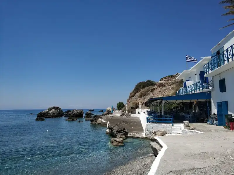
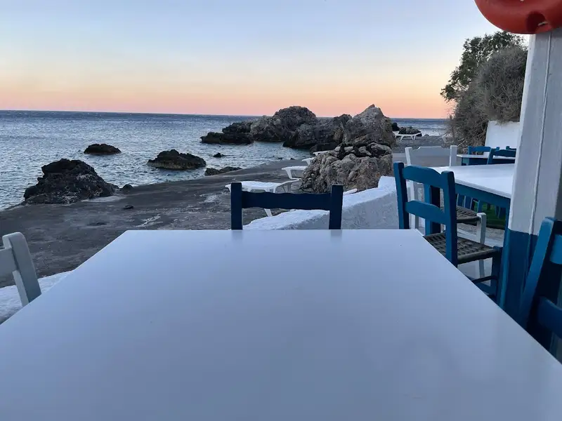
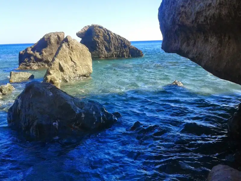
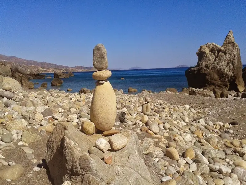
The narrow, poorly paved road leading to Keramiani Giulia ends near the local port of Agia Fotini, which is also known as Agia Fotia. This location is home to beautiful small pebble beaches, perfect for snorkelling and swimming, and is surrounded by large boulders. The traditional Stavros tavern is built on an old carob storehouse and serves fresh fish on the beach. It also offers accommodation, and has a reminiscent atmosphere of the Greek islands of the 1960s. The tavern provides free umbrellas and showers. Near Agia Fotia, there is a small river that forms a green forest. Following the path north along the river, you will encounter a tall palm tree and the old church of Agia Fotini, located near a small house with a lovely garden. A 5-minute walk west of the tavern along the rocky shore will lead you to another pebbly beach.
On the hill near Agia Fotini tavern, you can still see the remnants of the ancient town Kionia, which thrived in its heyday. Today, the ruins cover an area of over 150 meters east to west and 100 meters north to south, while the other half of the town is submerged underwater, in front of the tavern. Traces of buildings and terraces that suggest the existence of Kionia can be seen in the surrounding area. It is thought that the sinking of the town forced its inhabitants to leave and move to higher ground, where the villages Kerames and Agallianos now stand.
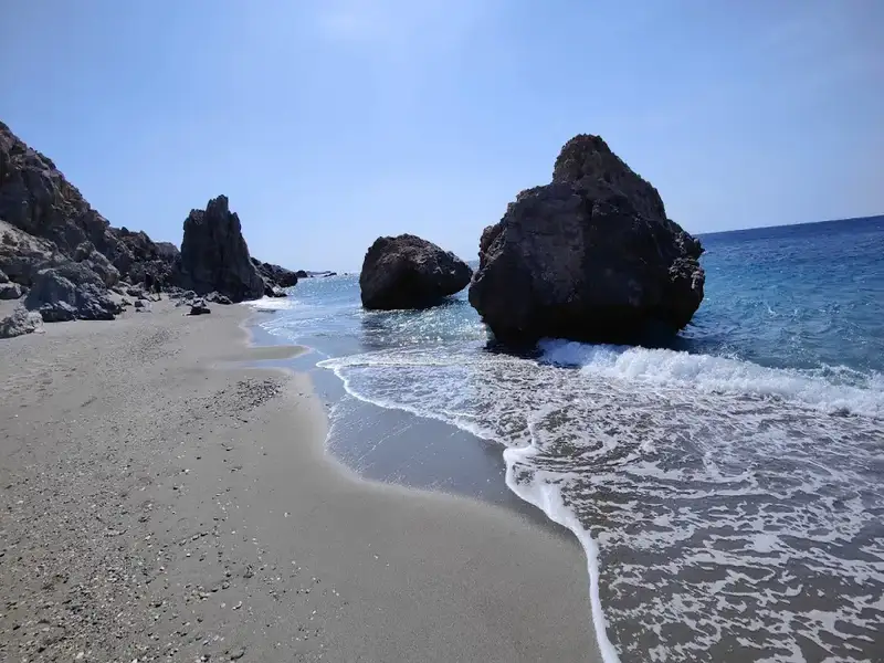
Beyond the charming village of Drymiskos, a sequence of coves unfurls into a series of beaches spanning 3 km, collectively known as Drymiskiani Gialia (Drymiskos Beach). Rocks and reefs segment these beaches, providing an exciting snorkelling experience. The area remains largely undiscovered due to its more challenging accessibility compared to other locations in the South Rethymnon prefecture. The most well-known section of Drymiskian Beach is Amoudi, the westernmost beach where the paved road from Preveli beach ends. Ammoudi serves as the starting point for a brief trail to Preveli beach, where most visitors park their cars.
Venturing eastwards from Amoudi along the paved road, one can discover numerous serene sandy beaches, perfect for solitude and naturism. At the heart of Drymiskian Beach, Kefala’s beaches are marked by a distinctive black, tooth-like rock jutting from the sand. The best beaches in the area can be found on either side of this rock. Continuing further, one reaches the less crowded Anatolika beaches, also known as East, renowned for their deep, clear waters. From Anatolika, the journey can be extended to the Kerames beaches, the first of which is Gialopotama. While most beaches lack trees, large rocks provide ample shade throughout the day.
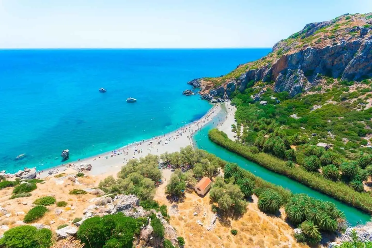
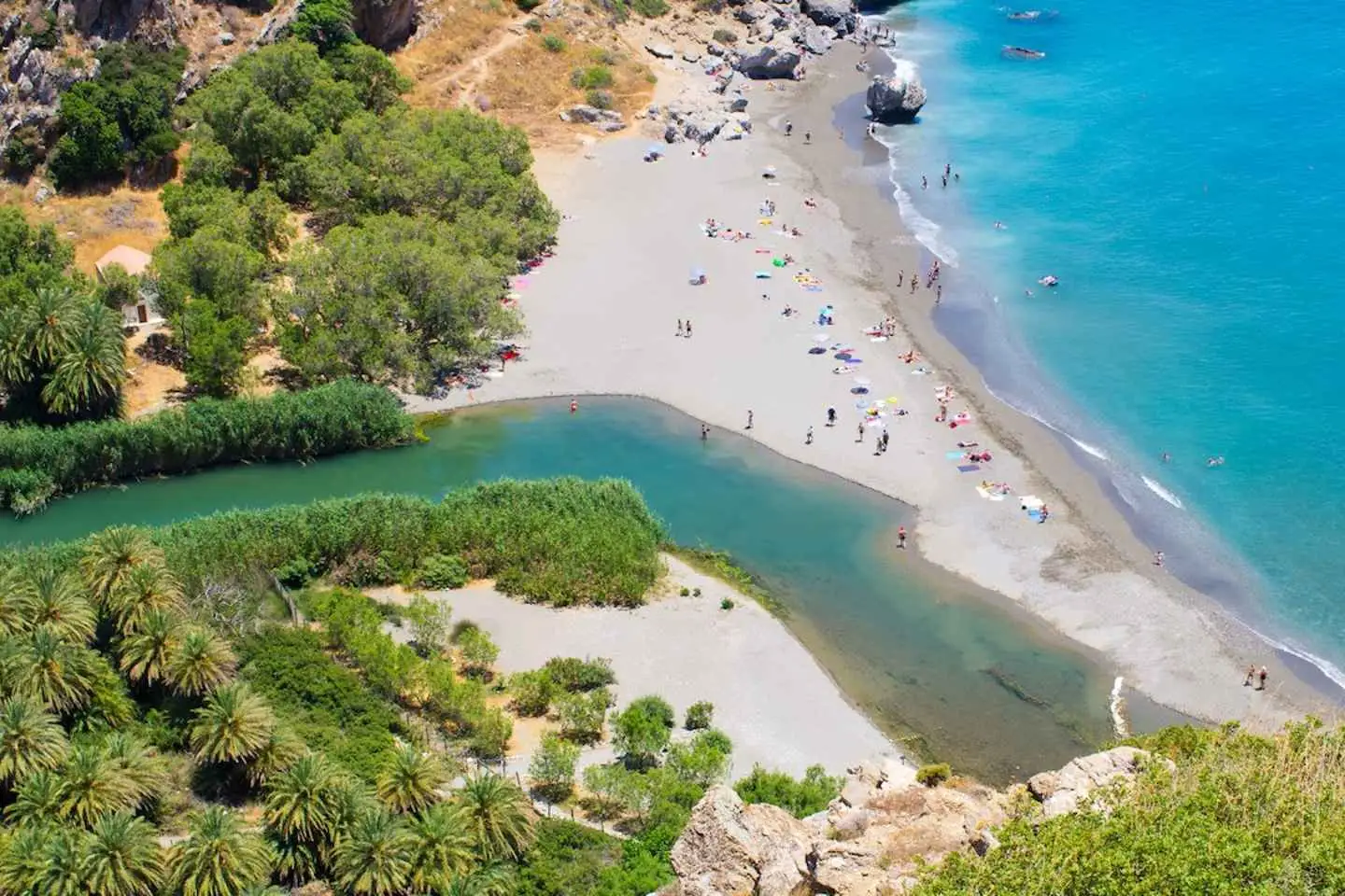
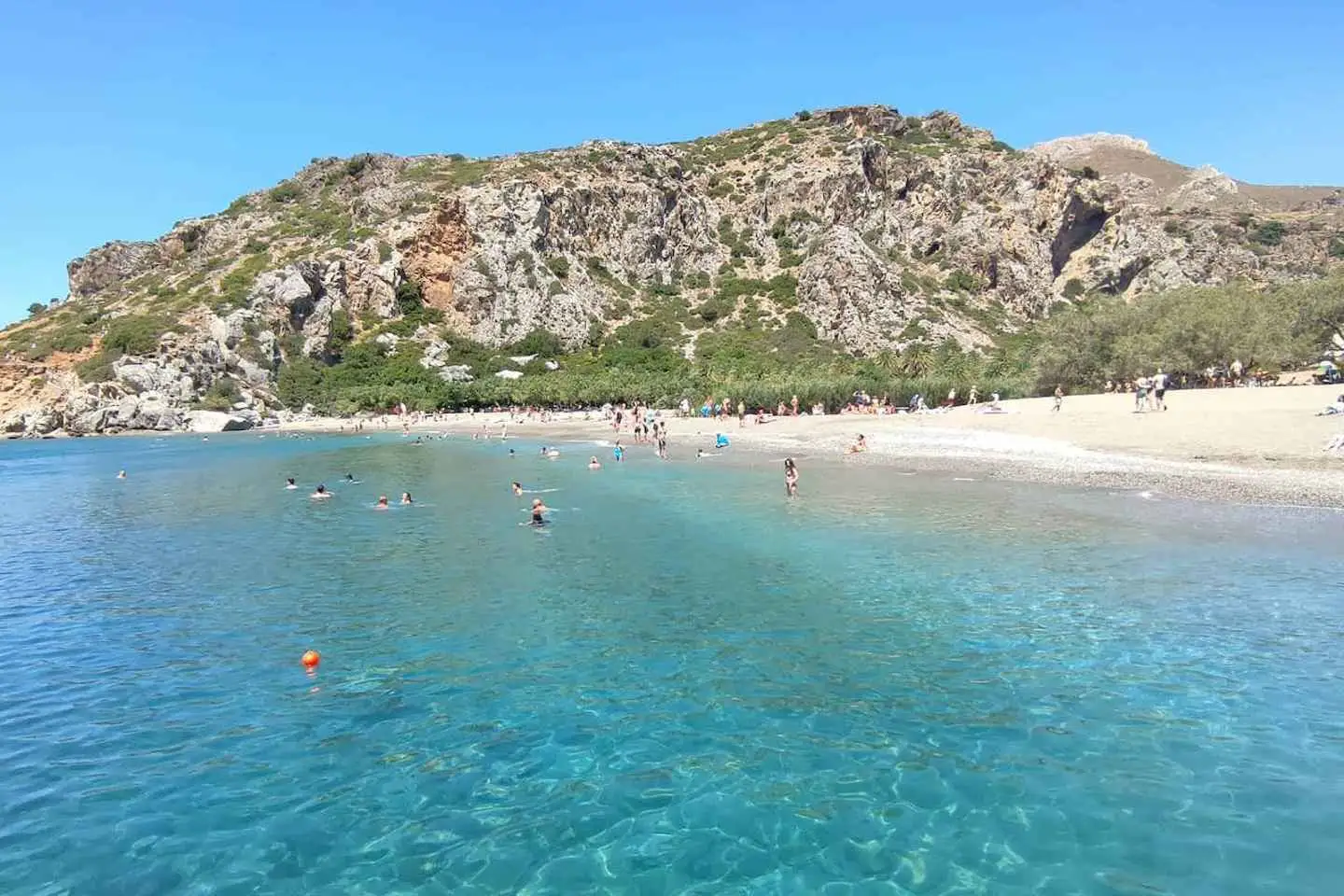
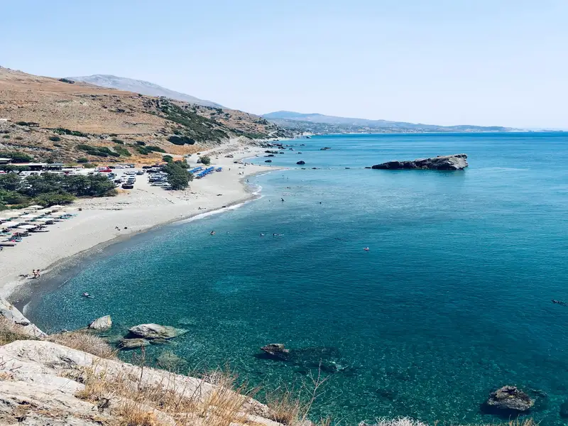
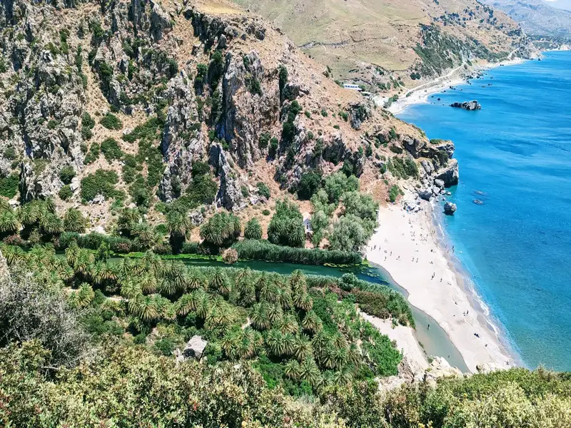
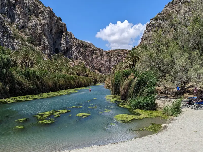
Preveli Beach is a palm-fringed beach and freshwater lagoon on the south coast of Crete, where the Megalos Potamos river meets the Libyan Sea at the mouth of the Kourtaliotiko gorge. It sits about 35 km south of Rethymno and 10 km east of Plakias, and is also known as Lake Preveli, Phoenix, or Finikas. Recognised as the most celebrated beach in southern Crete, it drew hippie travellers in the 1960s and 1970s and remains one of the island’s signature summer spots.
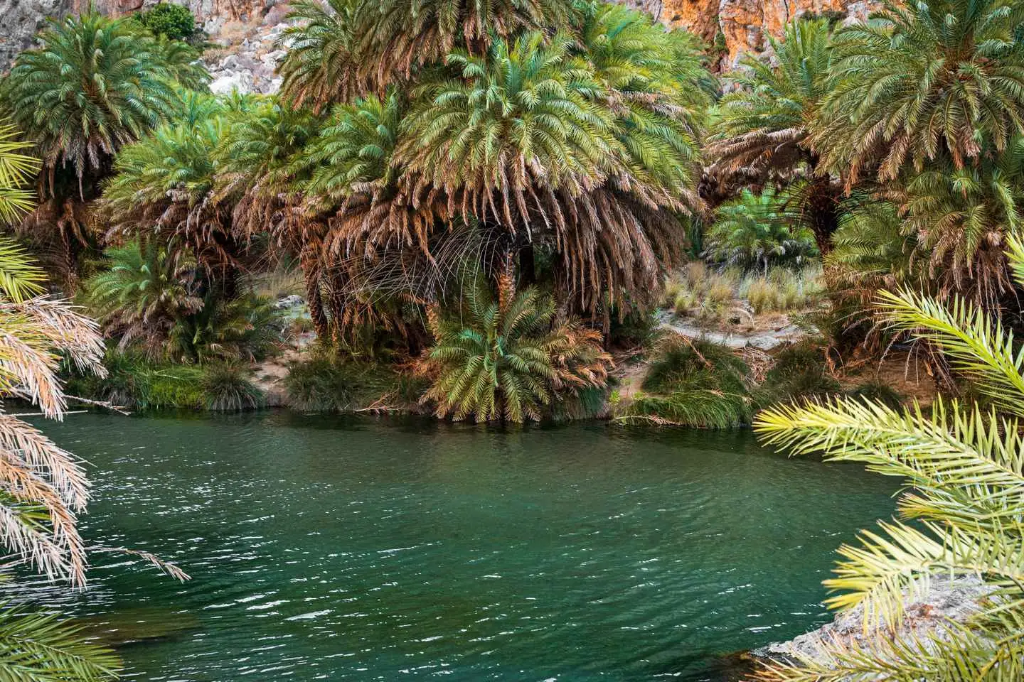
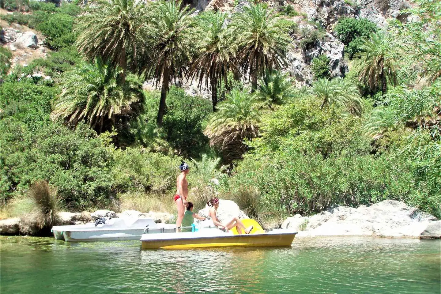
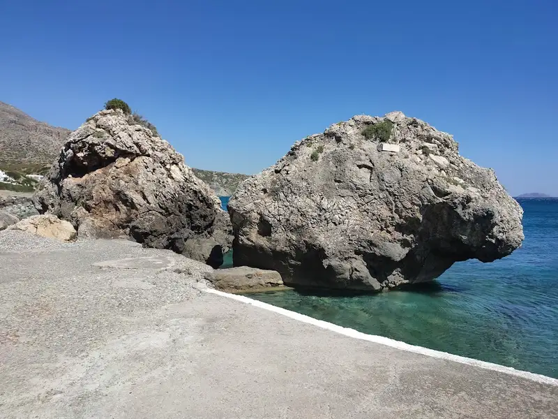
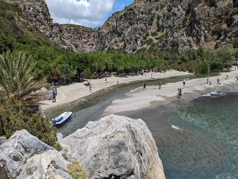
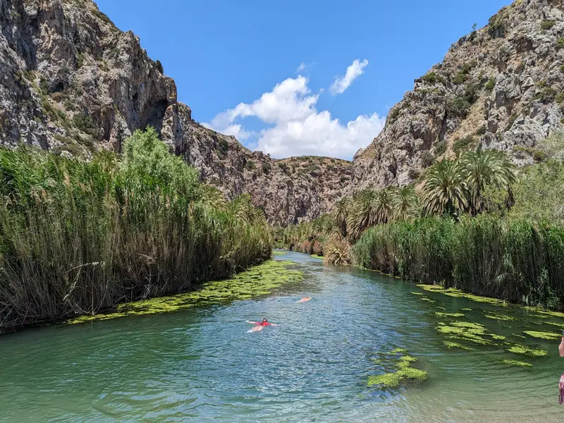
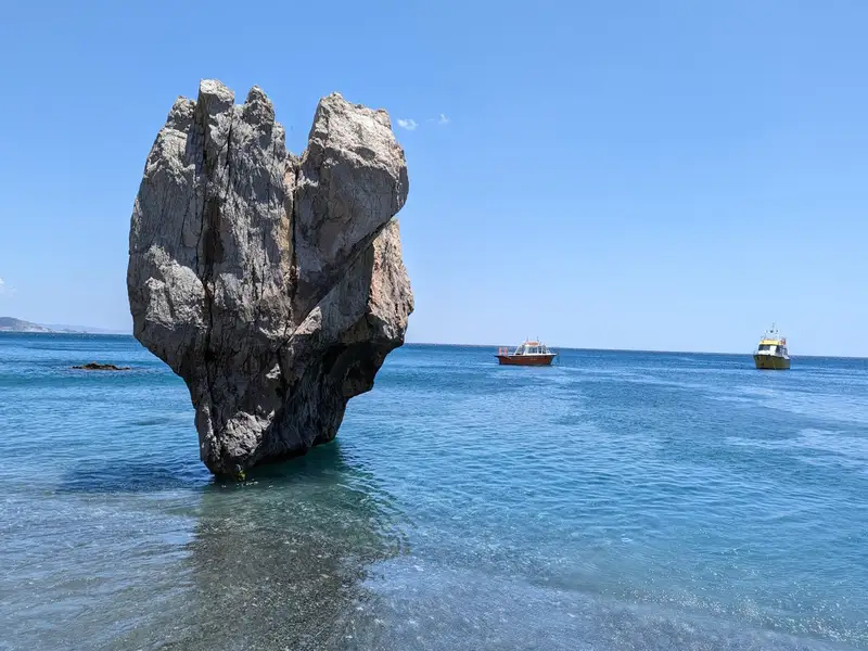
A colony of Theophrastus date palms (Phoenix theophrasti) lines the banks of the Megalos Potamos, one of the few natural palm forests in Europe. The river carries water all year and widens into a long lagoon before it reaches the sea, so the water stays fresh and cool. At the river mouth a beach of pebbles and sand meets the Libyan Sea, and the seawater runs cooler than usual because of the incoming river. A heart-shaped rock, known to locals as the Stone of Lovers, marks the eastern side of the beach.
In August 2010 a major fire burned most of the palm grove, destroying close to 70% of the forest. The Theophrastus palm proved unusually fire-resistant, and the grove regenerated over the following seasons. The beach stays unspoiled, with no umbrellas or built-up shoreline, because it lies within a protected Natura 2000 reserve.
To reach Preveli Beach, choose one of 3 routes, because there is no road directly to the sand and every option ends with a walk:
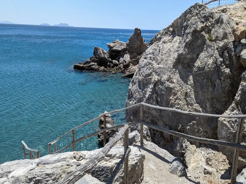
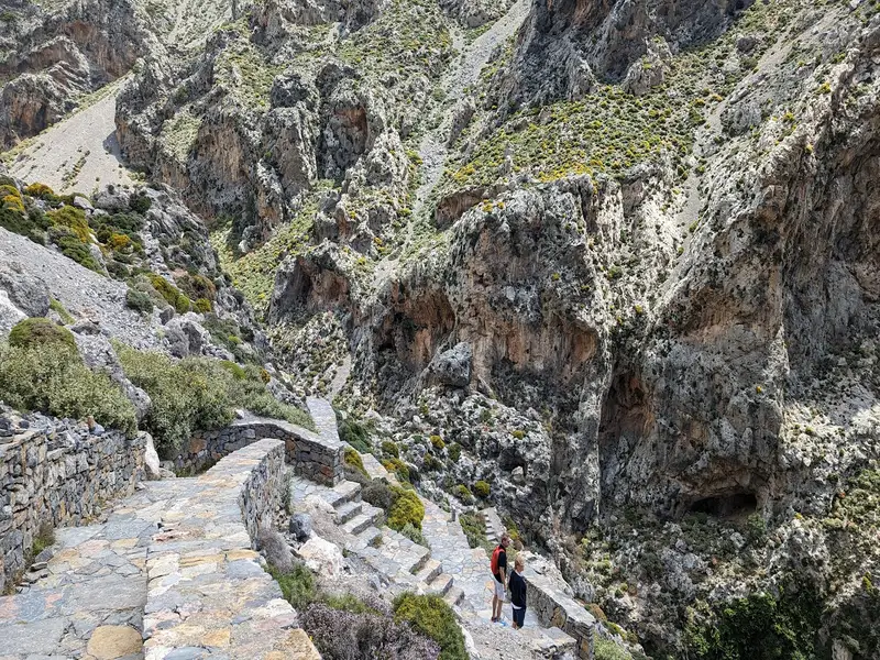
The stepped path on the west side is in full sun with no shade, and the climb back up is strenuous. Bring water, sun protection, and proper shoes, and set off early in the day. Renting a car is the simplest way to reach this part of the south coast; see car rental in Crete.
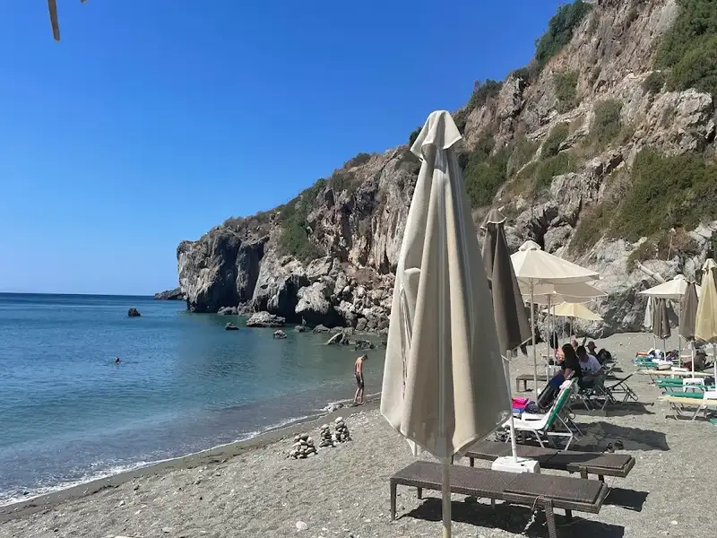
The beach has no sunbeds or umbrellas because the area is protected, though a small seasonal taverna near the river mouth serves drinks and snacks. The sand gives way to slippery rocks and stronger currents once you are in the sea, so take care when swimming. The river side is calm and shallow, and it is good for snorkelling.
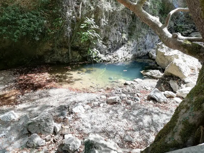
A footpath follows the river upstream from the beach, winding through the palm grove to shallow pools where you can cool off when the water level allows. The trail leads into the Kourtaliotiko gorge and stays easy enough for families.
The quieter months of May, June, September, and October are the best time to visit, with warm weather and thinner crowds. Preveli is popular through July and August, so arrive early to find a parking space and beat the heat on the steps.
The beach takes its name from the nearby Preveli Monastery, a men-only monastery founded in the 16th or 17th century and dedicated to St John the Theologian. There are 2 monasteries in the area, the older Piso Monastery and the newer Kato Monastery, near the old Preveli stone bridge. According to local legend, Odysseus, king of Ithaca, stopped in the wider Preveli area on his way home from the Trojan War.
Yes. Preveli pairs a rare natural palm forest and a freshwater lagoon with a south-coast beach on the Libyan Sea, a combination you will not find at most Cretan beaches. It takes effort to reach, but the scenery and the river walk reward the trip.
Drive from Plakias towards Preveli Monastery, park at the cliff-top car park, and walk down the steps to the beach. For an easier approach, drive to Drimiskiano Amoudi and take the short 5-minute path, or take a boat from Agia Galini, Plakias, or Damnoni.
From the west car park, a long flight of steps leads to the beach in roughly 15 to 40 minutes each way, depending on your pace. The path is in full sun with no shade, so carry water and wear proper shoes. The east route from Drimiskiano Amoudi is a flat 5-minute walk.
Yes. There is a guarded car park on the cliff-top above the west side of the beach, and a small daily fee applies. A second car park serves the easier eastern approach from Drimiskiano Amoudi.
No. Because the area is a protected reserve, there are no sunbeds or umbrellas on the sand. A small seasonal taverna near the river mouth serves drinks and snacks.
The sea is blue and usually calm, but currents and waves can pick up, and the sandy shore turns to rock underfoot in the water. The river side is cooler and fresher, calm, and good for snorkelling.
May, June, September, and October are the calmest, with warm weather and fewer visitors. In the peak of July and August, arrive early for parking and shade.
Yes. A footpath follows the river upstream from the beach into the palm forest and gorge, leading to shallow pools you can dip in when the water level allows. It is an easy walk suited to families.
No results available
Find below list of gorges near Casa Sofia Apt#2:
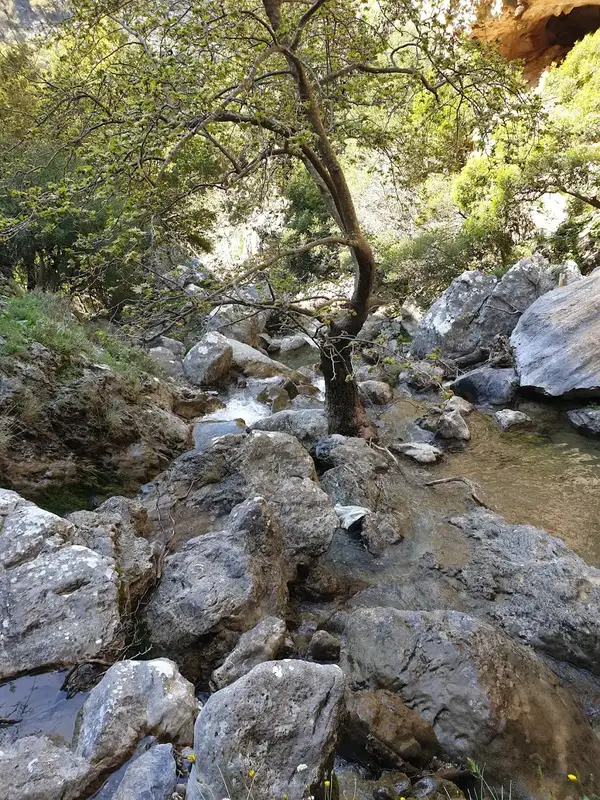
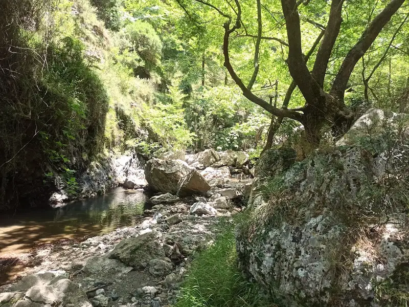
Approximately 1 km to the east of Spili, in the Agios Vassilios province, you’ll find the church of Agia Fotini, also known as Saint Photini. Like many places in Crete, it’s often referred to as Agia Fotia. Situated on the main road leading to Agia Galini, the church is adjacent to a spring that flows with water throughout the year. Nearby, you’ll see a large, old watermill. This area marks the end of the picturesque Agia Fotia gorge, which is small but incredibly lush.
The gorge begins at the Gious Kambos plateau, which is 750m above sea level, and concludes at the spring, which sits at an altitude of 500m, after a 1.5km journey.
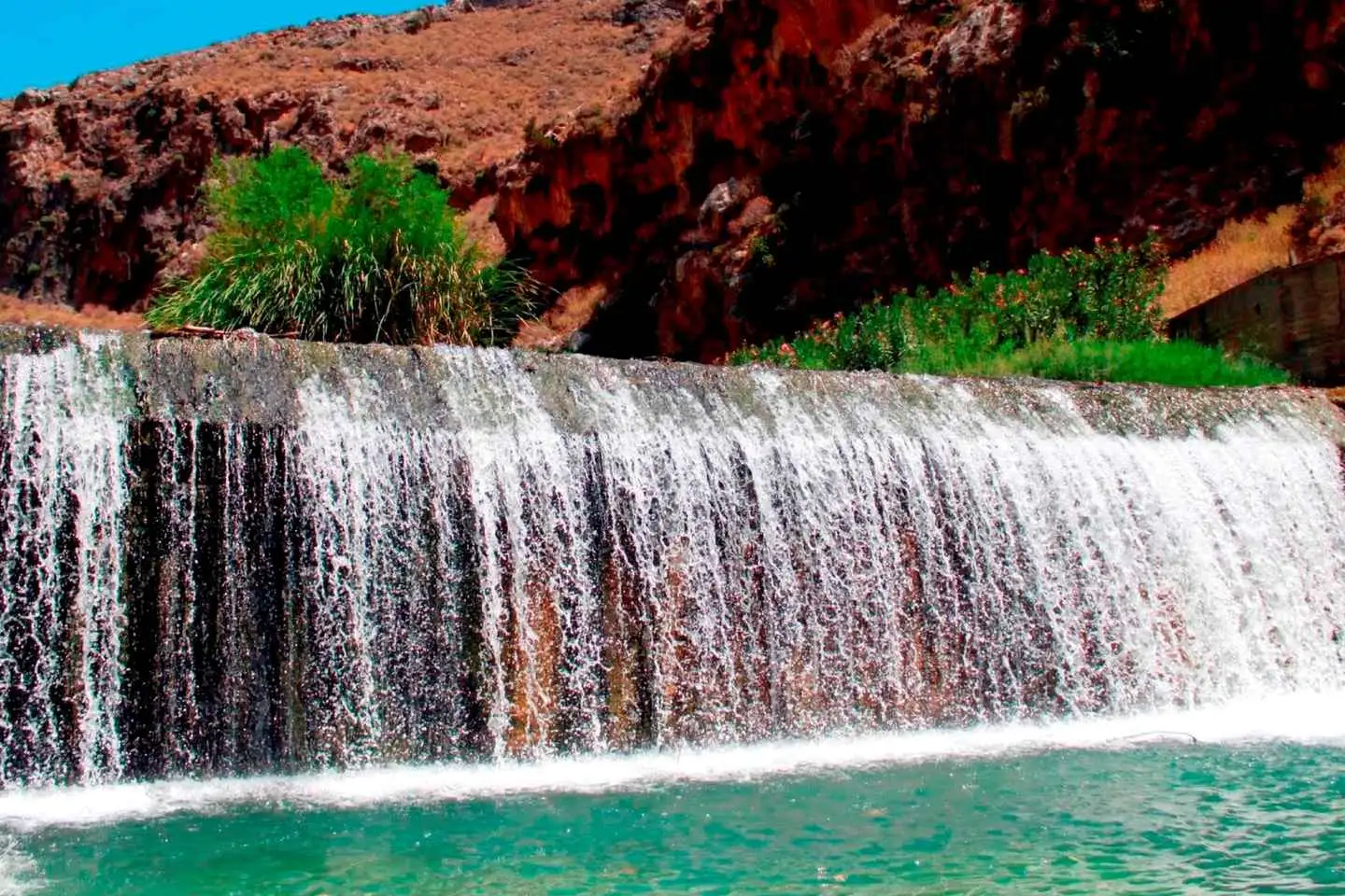
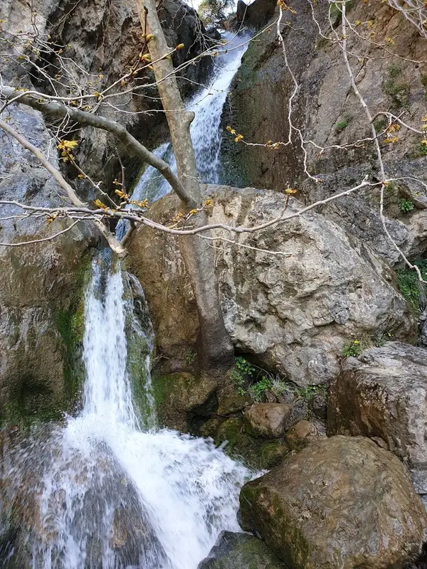
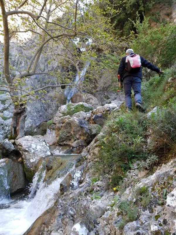
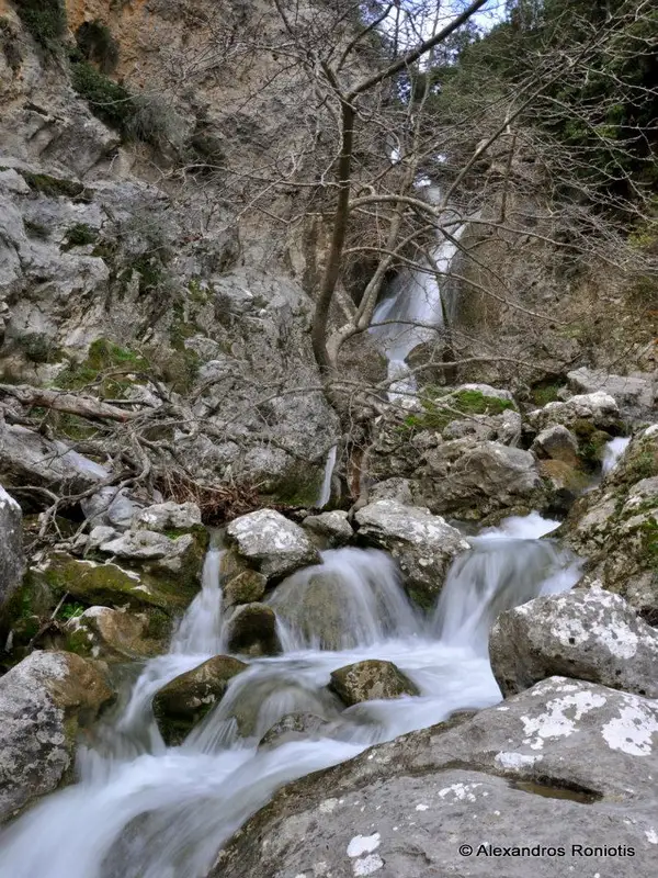
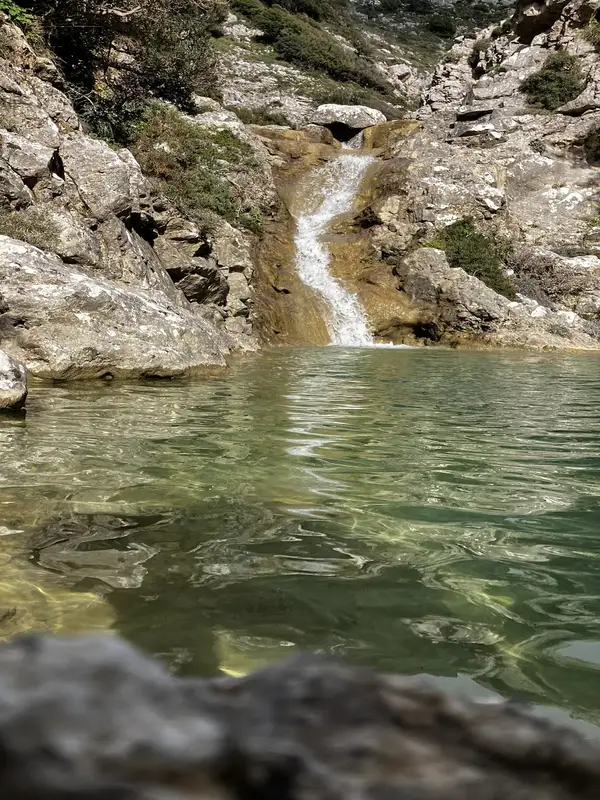
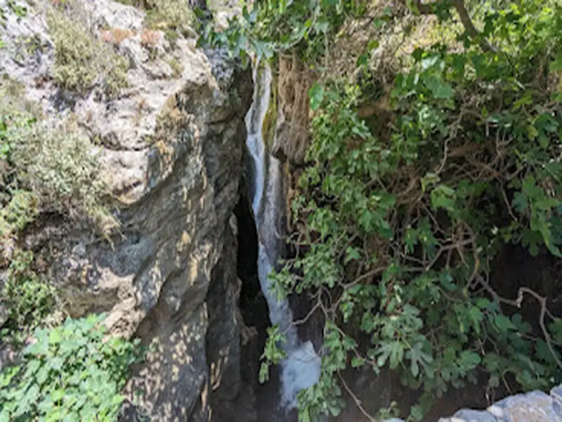
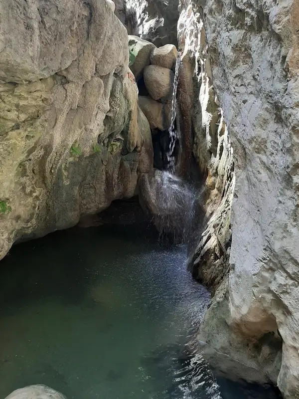
Close to the gorge’s starting point, you’ll discover waterfalls of unparalleled beauty. In the springtime, these falls are abundant with water, creating a unique and breathtaking landscape filled with plane trees. The easiest way to reach the waterfalls is by walking from the spring along the gorge. Alternatively, you can access them from Gious Kambos, though this route is more challenging. It requires bypassing the waterfalls from the sides and descending the steep slope to the riverbed.
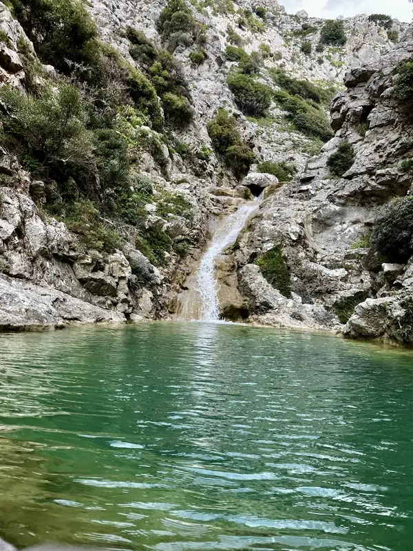
Located just 1km north of Kissos village in Agios Vasilios province and 34km southeast of Rethymnon, Kissano Gorge serves as a link between Kambos Kissou settlement and the small Gious Kambos plateau. The gorge’s river is a primary tributary of the Gorge Frati. The canyon, though not lush with vegetation, boasts small waterfalls, the tallest of which measure between 5-7m. These waterfalls make it an ideal location for canyoning, but it’s also possible to bypass them carefully from the sides without any specialized equipment.
The journey begins at the Gious Kambos plateau, a small haven of diverse flora. A 0 to 30-minute walk along or beside the riverbed leads you to a point where the river intersects the road connecting Kissos with Gerakari. Here, you’ll find a striking reddish rock peppered with numerous caverns known as Kokkinos Detis, leading locals to also refer to this area as the Kokkinos Detis Gorge.
While this marks the end of the main part of the canyon, the river continues its descent, creating more small waterfalls. It then passes through the 60-hectare artificial pine forest of Vatolakki, before continuing towards Spili and eventually to Frati.
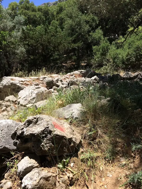
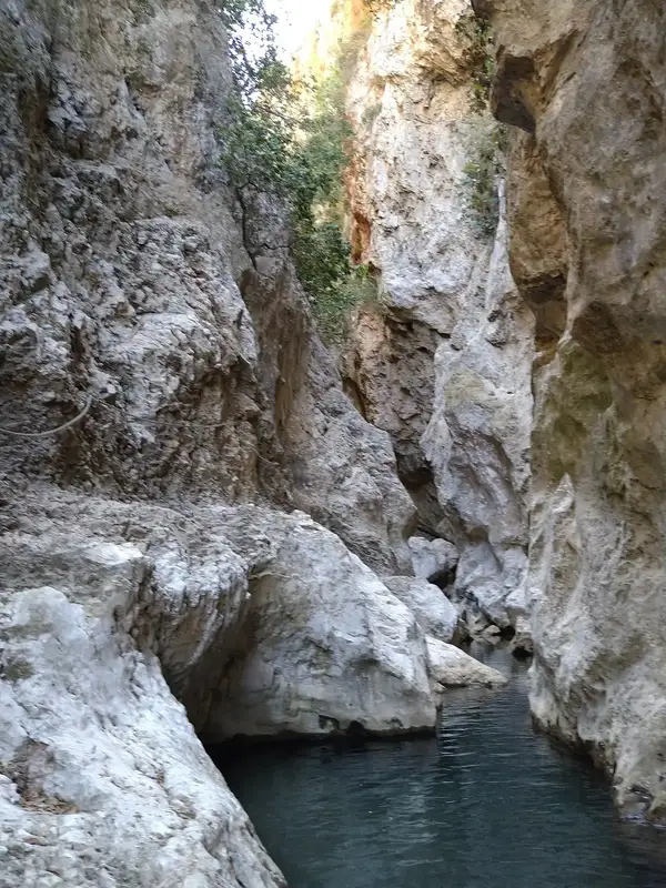
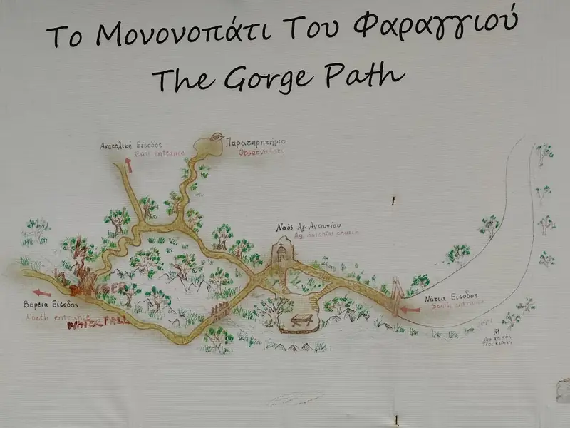
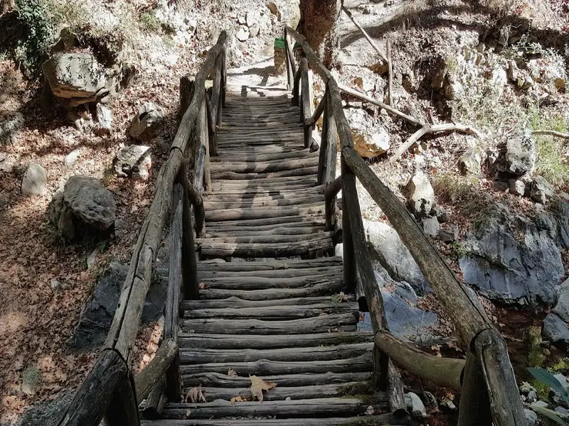
Located in the stunning province of Amari, the Patsos or Agios Antonios gorge is situated 8 km southwest of Arkadi Monastery. The gorge’s water is collected in the Potami dam. Trekking through the gorge is relatively easy up to a certain point, thanks to a well-marked trail created by the forest service. This trail concludes at the gorge’s narrowest point, where a unique waterfall cascades into a cave. Beyond this point, the gorge narrows and forms several small waterfalls. The descent to the Potami lake demands careful attention, particularly during winter and spring. Another path leads to the avifauna watchtower situated above the river.
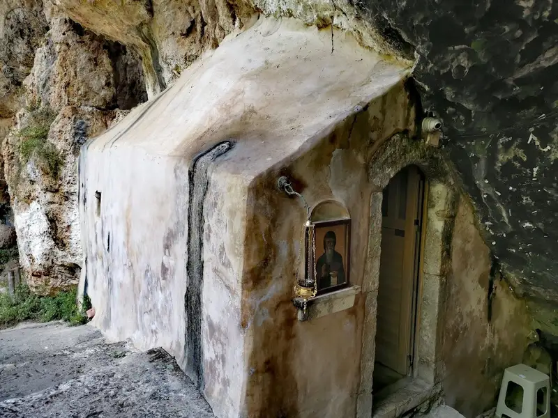
The Patsos Gorge is renowned for Agios Antonios’ cavernous temple (Saint Anthony), which was once a sacred cave dedicated to Kraneos Hermes in ancient times. Water seeps from the rocks and drips from the temple roof, accumulating as holy water. It’s fascinating to observe the thousands of prayer papers that devotees have tucked into the rock cavities surrounding the temple. Large plateaus with wooden benches and tables, perfect for picnicking, are located beneath the temple and by the river.
The gorge derives its name from Patsos, a village nestled at the base of Mount Soros at an altitude of 490 meters. It’s approximately 30 km south of Rethymnon. The area boasts a rich variety of flora due to the numerous springs throughout the region that provide a year-round water supply.
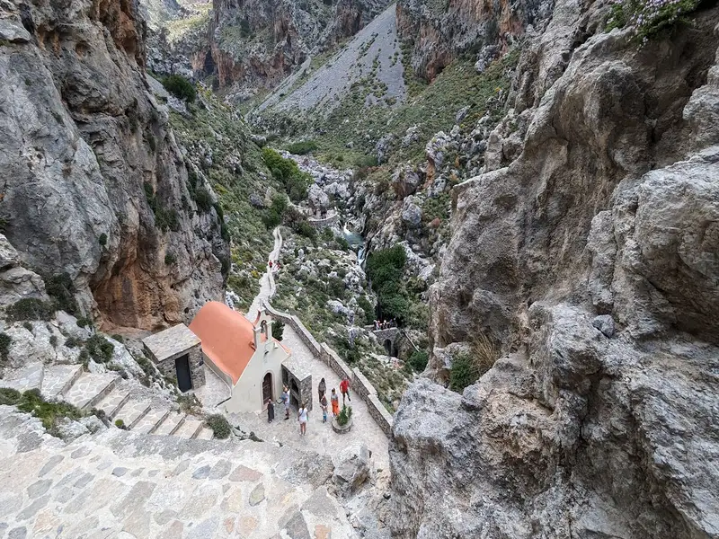
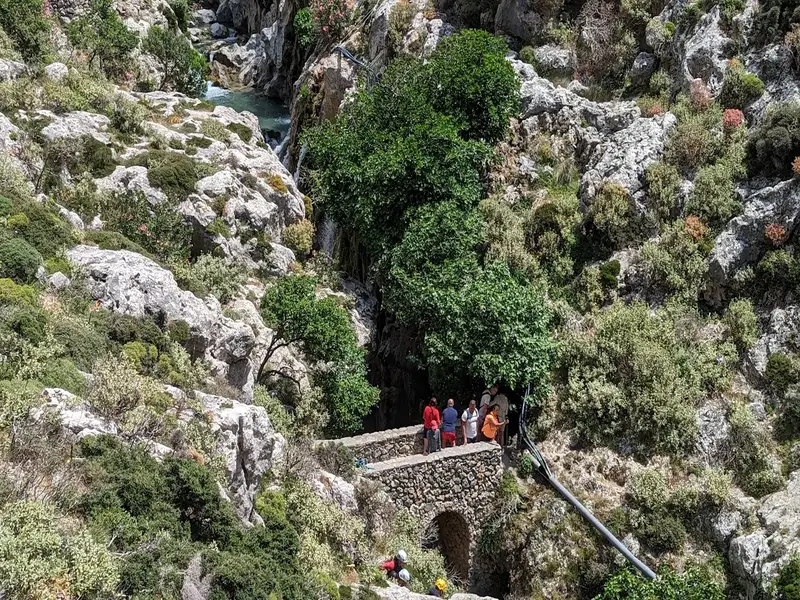
Kourtaliotiko Gorge is a hiking gorge 22km south of Rethymno, Crete, Greece, known for its waterfall, its year-round springs, and the chapel of Agios Nikolaos at the base of the cliffs. Kourtaliotiko Gorge runs for 3km between the Kouroupa and Koules mountains, and a paved road cuts through the canyon so you can reach the main viewpoints and the trailhead without a long approach. This guide covers what the gorge is, the waterfall and chapel, how to get there and park, the difficulty, what to see, and the tips worth knowing before you go.
No results available
© All rights reserved. Crete Locals