Allaria villa

  • 9.5

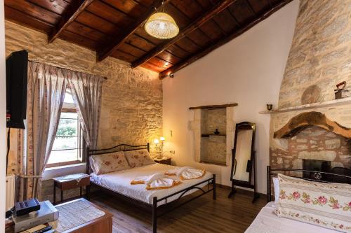
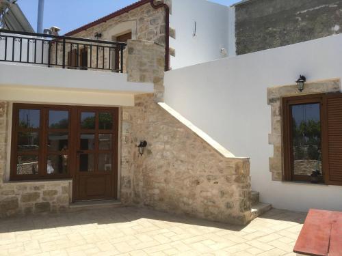
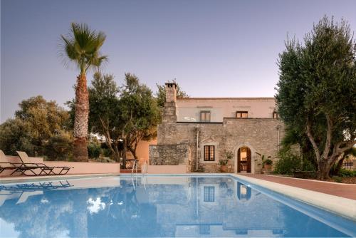
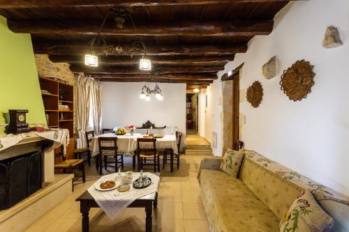
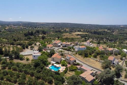
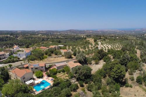
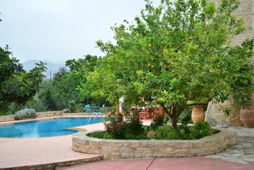
Located in Margarítai, Allaria villa offers an outdoor pool and free bikes. This self-catering accommodation features free WiFi.

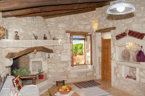
Accommodation will provide you with a TV, air conditioning and a terrace. There is a full kitchen with a dishwasher and a microwave. Featuring a shower, private bathrooms also come with a bath or shower. You can enjoy mountain view and pool view.

At Allaria villa you will find barbecue facilities. Activities in the surrounding area include cycling and hiking. The property offers free parking.

Heraklion International Airport is located 45 km away.

Property Details

  • 1 room

Place Amenities

  • Air conditioning
  • BBQ facilities
  • Car hire
  • Family rooms
  • Kids' pool
  • Laundry
  • Non-smoking rooms
  • Parking
  • Pets allowed
  • Sun loungers or beach chairs
  • Swimming pool
  • WiFi

Property Type

  • Villas

Location

Margaritai

User reviews

Other stays near Allaria villa

  • 910 m
  • Kallergos
  • 9
  • (656)
  • From
  • €89
  • per night
  • 1.1 km
  • Μαργαρίτες Ρέθυμνο
  • 9
  • (72)
  • 1.3 km

Things to do near Allaria villa

Find below list of things to do near Allaria villa:

  • Melidoni Cave

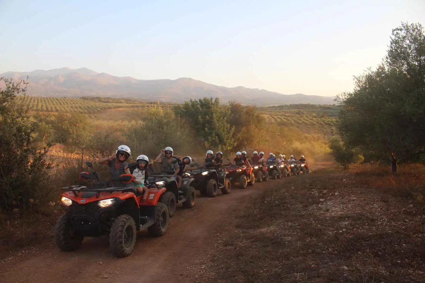
Our adventure begins from our base in Bali, after a security update and a little practice. We drive away from the main traffic through provincial and country roads, which only locals know and we cross one of the biggest olive groves of the island.

We explore 10 small traditional villages with narrow streets, meet local people and admire Venetian and Ottoman stone buildings of the 17th and 18th century, which will take us back in time to another era.

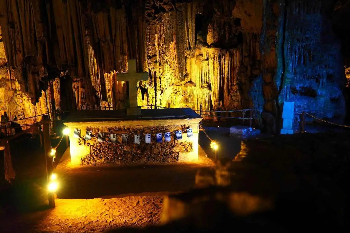
In one of our stops we explore one of the most important caves of Crete, Melidoni cave, which is located on top of a mountain.

We enjoy the amazing panoramic view of the beautiful valley, with dozens of villages and the highest mountain of Crete called Psiloritis – Idi.

We have much fun on the dirt roads, passing through the fields as we discover unique picturesque landscapes of the beautiful wildlife of Crete.

We’ll make enough stops during our safari, offering excellent opportunities for amazing pictures and breathtaking landscapes.

  • Melidoni Cave

See Crete on a guided tour that combines history and craft for a hands-on experience. Visit the most historical spots on the island, learn their history, and enjoy a pottery lesson and olive oil tasting. Visit the Museum of Ancient Eleftherna, Melidoni Cave, and more.

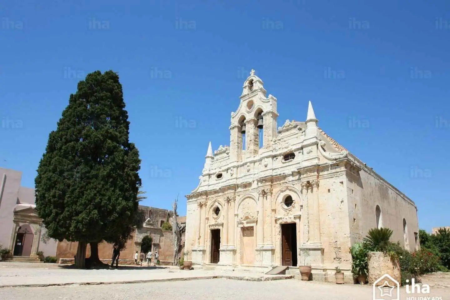
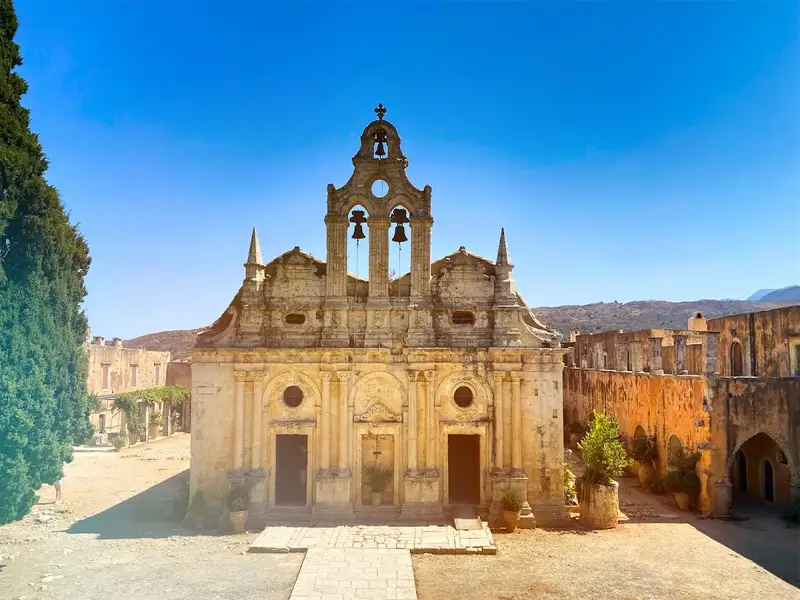
Start by getting picked up from your accommodation in Rethymno, then arrive at the most important monastery of Crete: the Monastery of Arkadi. Explore the museum where many icons, monastic relics, and weapons reveal the monastery’s history. Enjoy an hour of free time.

Next, visit the Museum of Ancient Eleftherna with its historical findings from Homer’s era. This is the first archaeological site museum in Crete. The museum hosts the whole history of Eleftherna from 3000 B.C. to 1300 A.D.

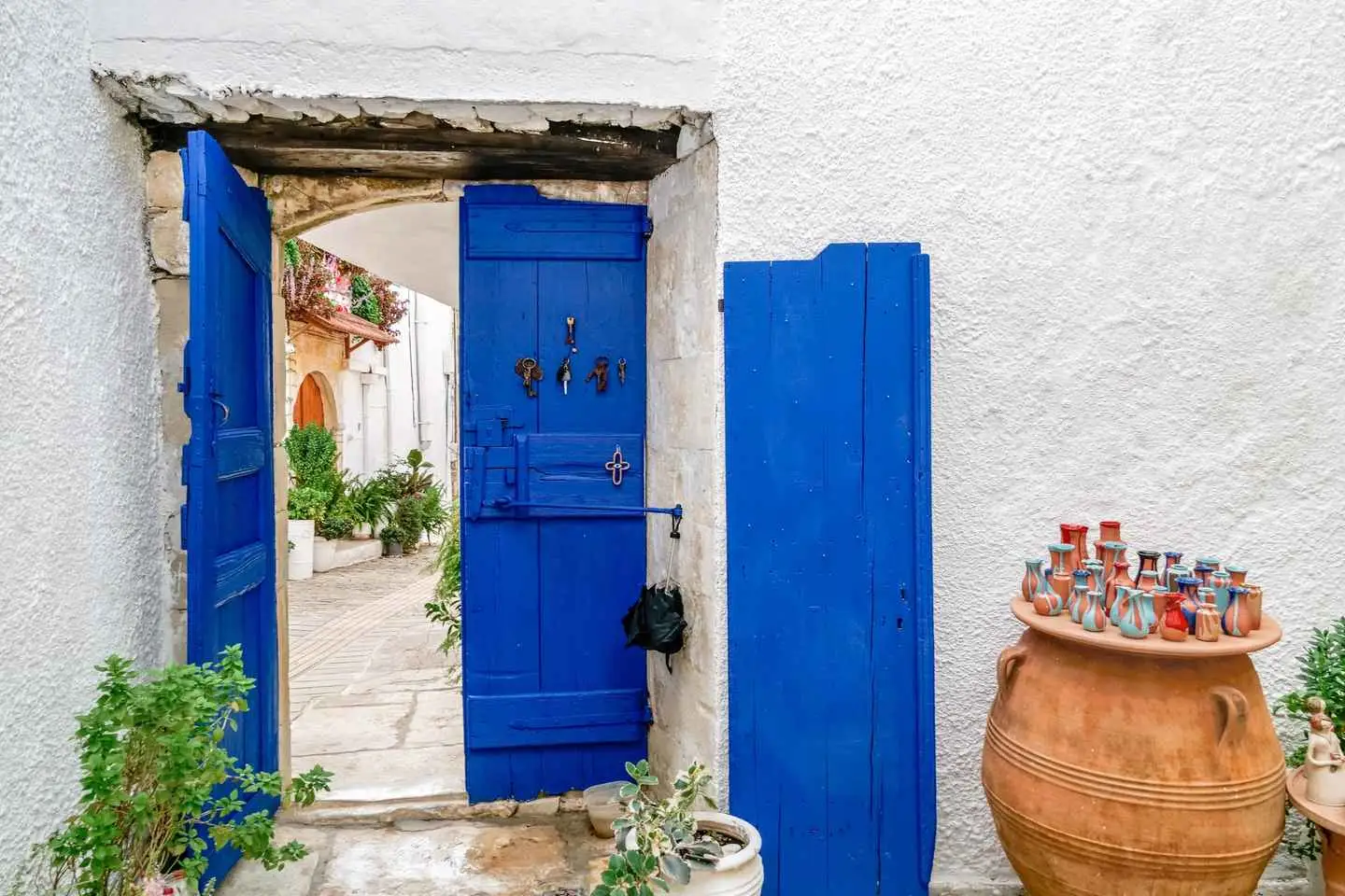
Afterward, enjoy a tour of the pottery workshop “TSIKALARIO” in the village of Margarites to learn about the art of pottery and create your own ceramic. The tradition of pottery goes back many generations in this villa.

Later, visit Margarites village where you will have free time for lunch or a walk.

Next, head to an olive oil manufactory. Learn how Cretan people made olive oil in the past and see the evolution up to today. Take part in an olive oil tasting before heading to the next stop, Melidoni Cave.

Lastly, arrive at Melidoni, also called “Gerodospilios,” a historic cave filled with stalactites and stalagmites. This 220-meter altitude cave was used for religious ceremonies and as a place of worship. Learn the cave’s archaeological and historical significance before heading back to Rethymno.

  • Melidoni Cave

Experience the ultimate cross-country adventure with Nostos Safari. This unique cross-country real-off-road experience takes you from the coast to the mountains. Drive through off-road routes and pass through breathtaking landscapes, from traditional village alleys to stunning mountain passes. With Nostos Safari, you’ll have the freedom and adventure of a quad bike to explore the stunning natural landscapes of Crete. Discover the unforgettable experience of cross-country living and book your quad safari today with Nostos Safari.

  • Melidoni Cave

Benefit from pick-up at your hotel in the Rethymno area, and then explore the traditional lifestyle and historical legacy of Crete.

Learn the Neolithic history of the Melidoni Cave and discover the pottery traditions of the village of Margarites.

Discover the oldest monastery in Crete at the 16th-century Arkadi Monastery, and then go to the village of Apostoli to visit an old olive oil factory. Enjoy lunch in a traditional tavern and listen to the beautiful sound of live folk music before making your way to St. Antonios Gorge. Stop at the Fragma Potamon dam before making your way back to Rethymno.

  • Melidoni Cave

Get in touch with the history and the art of the Cretan pottery on this tour from Rethymno. Learn about local honey and bees at the Honey Museum. See natural stalactites at Melidoni cave. Explore the villages and feel the cretan hospitality.
Enjoy the convenience of being picked up from your accommodation in Rethymno. Sit back and relax on a scenic drive through the countryside. Arrive in Margarites and take a tour of a ceramic shop. Immerse yourself in local crafts during pottery. 
Take a guided tour of the Honey Museum to discover the secrets of one of Crete’s most popular foods. Travel to Melidoni to visit the subterranean chambers and stalactites in Melidoni cave. Hear about the fascinating history of this cave.
Finally return to your accommodation in Rethymno at the end of your tour. 

  • Melidoni Cave

We have designed this unforgettable trip to submerge you into an authentic way of life in one of the island’s most beautiful regions while gaining a deeper understanding of the relationship between history, stunning escapes, gastronomy, and the authentic Cretan local lifestyle.

You will also visit the world-famous Palace of Knossos, where your expert guide will ensure skip-the-line access to all archaeological areas, key pieces of information, and extra-personalized attention.

Then, from the history and cultural experience, you will be immersed in another time wandering the unspoiled Cretan landscape along with authentic layers of flavors, wines, and village life of the island of Crete.

Enjoy personal pick-up and drop-off with a premium vehicle at your full-day disposal, like a true VIP.

Beaches near Allaria villa

Find below list of beaches near Allaria villa:

  • 7.9 km
Spilies beach is located 7.9 km away.

Spilies, also known as “Tou Maliou to Riaki” or Maliou stream, is a hidden gem located 15km to the east of Rethymnon city. Nestled between Skaleta and Geropotamos, the area is serene and tranquil, despite its proximity to the main highway that links Heraklion and Rethymno.

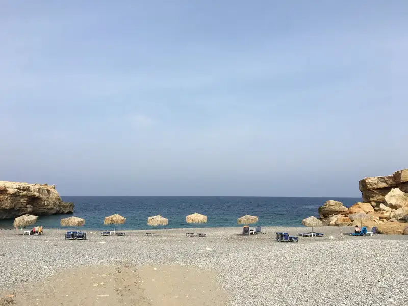
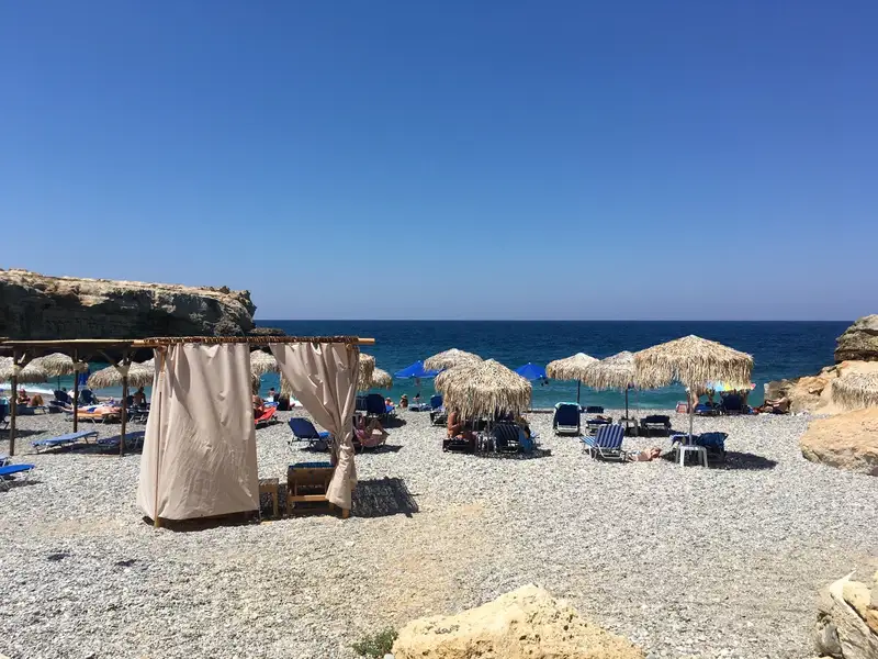
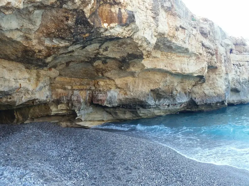
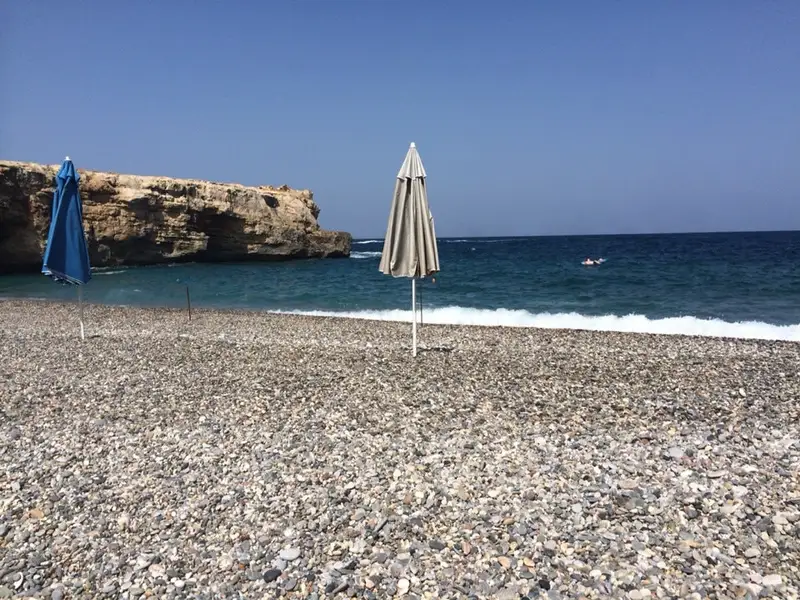
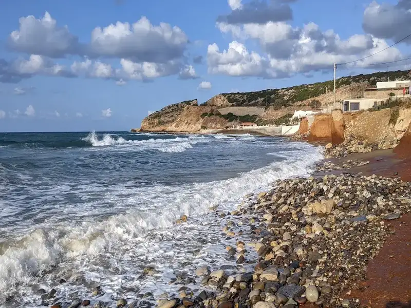
This hidden paradise is nestled in a small rocky bay, boasting of a pebbly beach with crystal clear and deep waters, shielded by towering cliffs. The defining feature of the cove is the stunning cavernous rocks that shelter the small beach from the west. Beyond the western and eastern ends of the beach, several sea caves and rock formations with extraordinary shapes adorn the landscape. Unfortunately, a portion of the eastern caves collapsed in the winter of 2011-12. These caves serve as crucial habitats for endangered species like the Mediterranean monk seal.

For an adventurous day, explore the rocky shores east of the beach, leading to the remarkable natural rocky arch of Geropotamos.

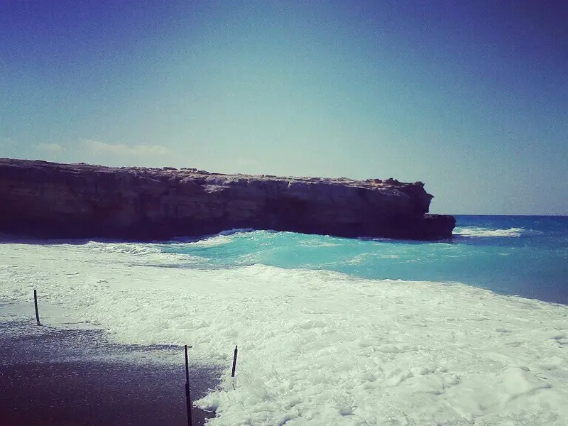
The beach provides basic amenities such as umbrellas, beds, and a small canteen. However, be wary of waves, which are a common occurrence due to the northern winds.

To reach the beach from Rethymnon, take the main road to Heraklion. After passing Skaleta, you’ll spot “Creta Farm”, followed by two gas stations on either side of the road. A short path to the beach begins behind the gas station on your left, marked by a sign to Spilies (ΣΠΗΛΙΕΣ). To avoid a left turn on the national road, it’s recommended to enter the station on your right and then turn back towards Rethymno.

  • Spilies beach
  • Pebbles
  • Deep
  • Blue
  • 8.0 km
Panormo beaches is located 8.0 km away.

Panormo, located approximately 20km east of the city of Rethymnon in the Milopotamos province, is a peaceful coastal village. It has experienced rapid growth in recent years while preserving its traditional charm. Its attractiveness lies in the untouched beauty of the Cretan countryside, the charming village, stunning beaches, and convenient accessibility.

Panormo boasts two primary beaches and several smaller ones. The village’s Greek name, which translates to ‘a location with a natural port’, aptly describes Panormos as it is a natural harbour with tranquil waters. The beach at the harbour, known as Limanaki, serves as the region’s port. It’s sandy, with clear waters, making it perfect for families with young children due to its shallow waters and the protection from waves provided by a cement pier. The beach is well-equipped with umbrellas, showers, water sports facilities, and plenty of accommodation and dining options nearby. Adjacent to Limanaki is a smaller, less populated sandy beach.

The second main beach, Limni, is situated just 200m west of the village. Similar to Limanaki, it is sandy and shielded by a rocky pier, essentially dividing it into two separate beaches. Further east, a small, secluded cove with a pebbly beach is perfect for undisturbed relaxation and snorkelling during calm seas. Panormo can be reached via direct bus services from Rethymnon or suburban bus services between Heraklion and Rethymnon. Excursion boats also operate from the local harbour.

A short history of the area

Panormo is historically significant and is thought to be located on the site of the ancient city of Panormus. The discovery of the impressive basilica of St. Sophia, dating back to the 6th century AD, confirms the presence of an ancient city. The basilica, situated 500m southwest of the village, is considered one of the largest Christian churches in Greece and the biggest in West Crete. The village is also known as Kastelli of Milopotamos, named after the fort built by the Genoese conquerors in 1206, which was later captured by the Venetians. Remnants of this fort can still be seen near the harbour.

In more recent history, Panormo served as a hub for transporting goods produced in the surrounding region, particularly olives and carobs. A renovated old carob mill, now used as a cultural centre, can still be visited. The village was bombed during the German Occupation. The construction of a new national road in the 1970s, adjacent to the village, and the building of a marina in 1980 has contributed to Panormo’s tourism growth. The village celebrates three festivals every year: Ascension, St. John on June 24, and St. Nicholas on December 6.

  • Panormo beaches
  • Sand
  • Shallow
  • Blue
  • 8.0 km
Geropotamos beach is located 8.0 km away.

Geropotamos, situated approximately 18km east of Rethymnon and 3km west of Panormo, is named after the eponymous river that empties into the eastern end of the beach. The beach, though small, is marked by its sandy terrain and crystal-clear, cool water, a result of the river that runs throughout the year, forming a small lake near the shore. The beach is minimally organized with umbrellas and a canteen that provides refreshments, coffee, water, and some basic food supplies. A luxurious hotel is also located adjacent to the river. Although easily accessible, the beach remains quiet and uncrowded. However, the orientation of the shore makes it susceptible to northern winds.

Geropotamos’ location on the main road connecting Heraklion and Rethymno makes it easily accessible. You can even reach it by bus by asking the driver to stop at Geropotamos. The area’s importance is underscored by its status as a natural shelter for rare birds and animals, courtesy of the Waterland. West of Geropotamos, the shore is riddled with cavities, home to the rare monk seals (Monachus monachus) and falcons.

A few meters west of Geropotamos beach, you’ll find an extraordinary rocky arch known as Kamara. Beneath Kamara, there lies a small beach with sand, small pebbles, and crystal blue waters. The beach’s size makes it vulnerable to north winds, with waves almost covering it. However, on calm sea days, it is truly beautiful. The beach, surrounded by vertical cliffs that provide natural shade, is only accessible by boat. A fun activity on windless days is to swim from Geropotamos and snorkel en route.

Cape Lianos, the eastern end of Geropotamos beach, also known as the Lavris area, is a rocky cape with a luxury hotel built on it. In front of the hotel, there are some small artificial coves with piers protecting them from waves. Although they appear private, you can reach the coves via a footpath that begins near the Geropotamos beach and heads eastwards, even if you’re not a hotel guest.

The Lianos Cape area, along with the Geropotamos wetland, is protected under the European program “Natura 2000”. It is home to a variety of reptiles, birds, turtles, amphibians, mammals, and plants, some of which are indigenous or endangered.

  • Geropotamos beach
  • Pebbles
  • Deep
  • Blue
  • 8.6 km
Skaleta beaches is located 8.6 km away.

Commencing 11km east of Rethymno and extending 3km eastward is the Skaleta beachfront, marking the end of the expansive beach of the Bay of Rethymno. The first resort you encounter after Pighianos Kampos is Sfakaki, which is exceptionally well arranged.

Stavromenos beach is the next stop, just 1km away, named after the area’s synonymous settlement. The beaches here are predominantly sandy and meticulously organized, with spots featuring pebbles and tiny rocks. As you journey eastward, the sandy stretch narrows down and gradually fades until it vanishes at the end of the Rethymno Gulf.

Continuing another 1km, you will reach the final segment of the immense East Rethymnon beachfront, Skaleta. Like all beaches on the north coast, Skaleta beachfront is exposed to the winds and typically experiences waves. The surrounding area has seen considerable development in recent years, now abounding with large hotels and tourist facilities. Regular bus services are available from Rethymno to Sfakaki, Stavromenos, and Skaleta.

From May to September, summer nights bring an extraordinary sight as loggerhead sea turtles lay their eggs in the Gulf’s sand. It’s not uncommon to see small areas of the beach cordoned off and inaccessible to visitors where nests have been spotted.

  • Skaleta beaches
  • Rocks in places, Sand
  • Shallow
  • Blue

Gorges to hike near Allaria villa

Find below list of gorges near Allaria villa:

  • 1.1 km

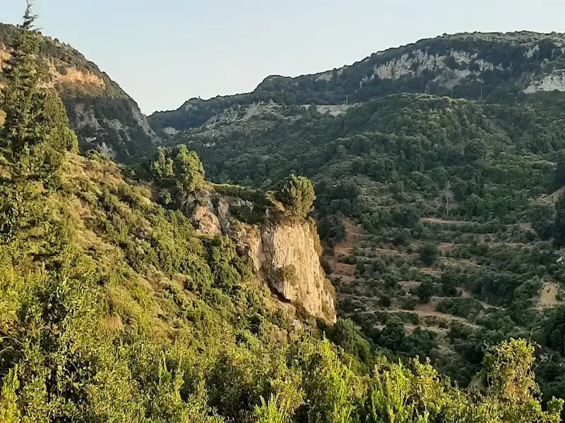
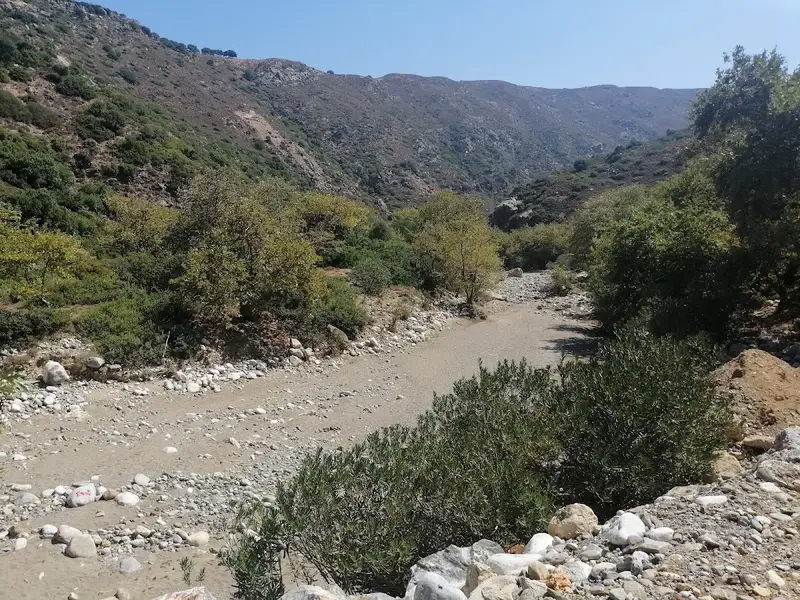
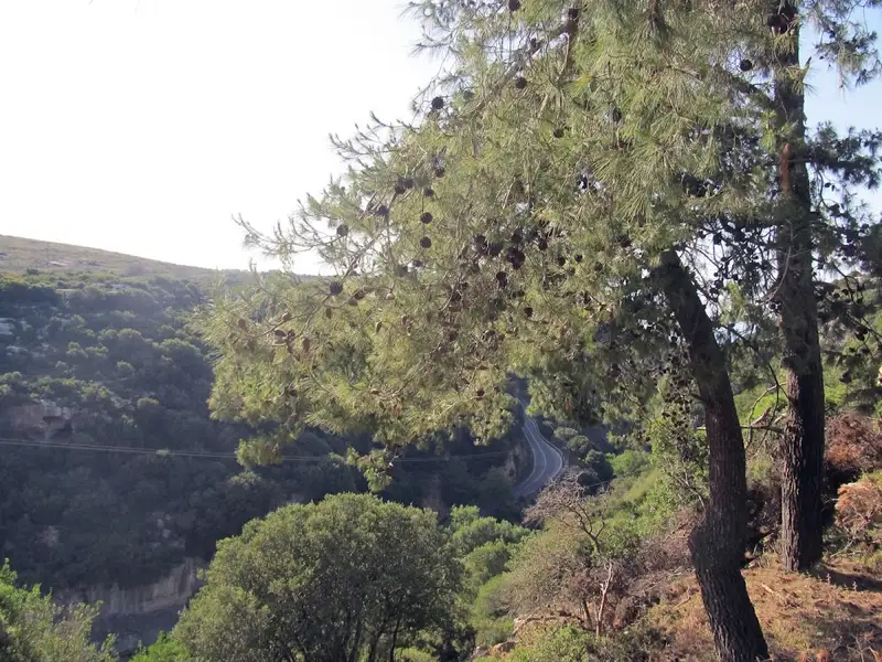
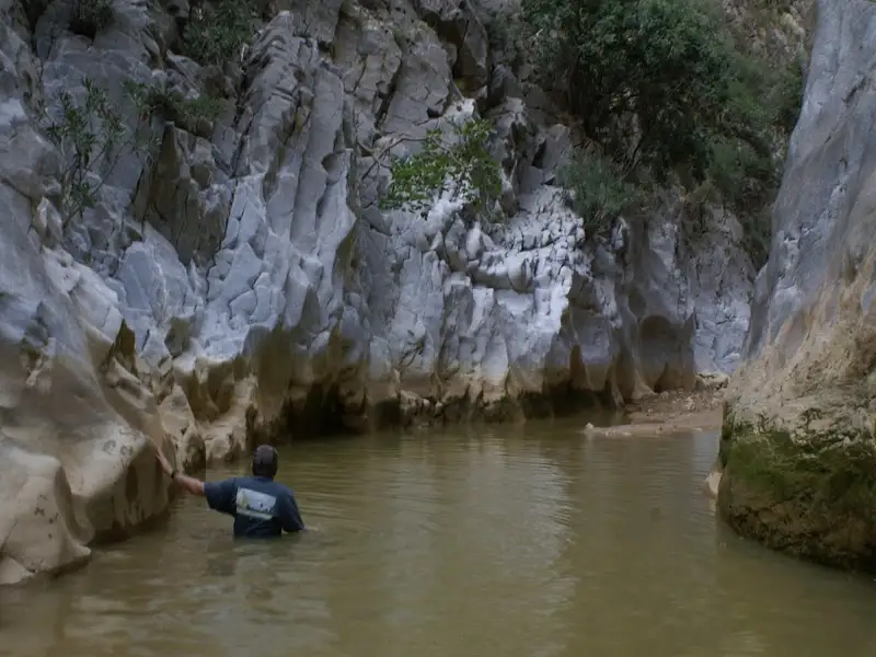
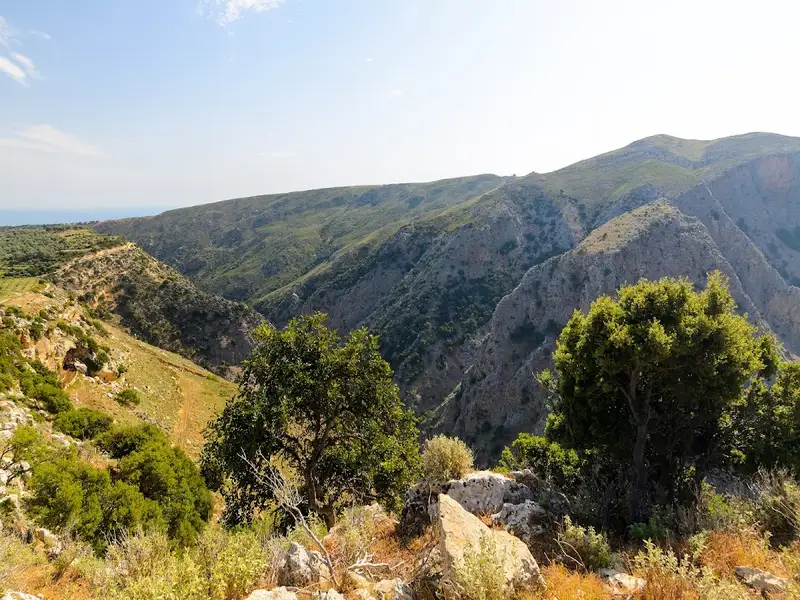
Margarites is a renowned village in the Milopotamos province, celebrated for its stunning architecture and traditional pottery. The broader region, encompassing the villages of Margarites, Orthe and Eleftherna, is characterized by a sequence of small, parallel gorges. Tiny watercourses like Margaritianos meander northwards, contributing to the Geropotamos River. These gorges are carved into the white-yellow marly limestone from the Upper Miocene era (8-10 million years ago), a result of the area’s uplift and water erosion.

The gorges’ most striking features are their abundant flora and extraordinary environment. Small groups of horizontally branched cypresses (Cupressus sempervirens var horizontal) blend with low shrubs, wildflowers, and aromatic plants. The local authorities have fashioned small trails that reveal the area’s beauty to visitors.

  • Margarites Gorge
  • 6.0 km

Arkadi Gorge is a moderate 4.5 km hike in the Rethymno region of Crete that starts just north of Arkadi Monastery and takes about 2 hours to walk. The route follows the eastern bank of a green, rocky ravine, ends near the village of Pikris where it meets the Gypofarago gorge, and pairs naturally with a visit to the historic monastery above it. There is no entrance fee and no facilities on the trail, so you carry your own water and food. This guide covers what the gorge is, how hard it is, how to reach the trailhead, what you see along the way, how to combine it with the monastery, and what to pack.

What Arkadi Gorge is

Arkadi Gorge is a river gorge in the Rethymno region of Crete, Greece, set just below and north of Arkadi Monastery. The gorge runs for approximately 4.5 kilometers and drains toward the north, where its trail finishes near Pikris village and joins the Gypofarago gorge. Walkers stay on the eastern banks for most of the route. Sections of the gorge bed are inaccessible because waterfalls and dense vegetation block the floor, so the path keeps to the higher eastern side rather than the streambed. This gives the hike its mix of shaded, wooded stretches and open, rocky ground. The setting carries both natural and cultural interest. You pass representative species of Cretan flora and can spot fossils in the exposed rock, and the wider area preserves significant Venetian architectural landmarks from Crete’s Venetian period.

How difficult the hike is and how long it takes

The Arkadi Gorge hike is rated moderate, with some steep and rocky sections that call for steady footing. Most walkers complete the roughly 4.5 km route in about 2 hours, moving at an unhurried pace and stopping to look around. Difficulty comes from terrain rather than distance. Steep, uneven, and rocky ground makes up the harder parts, while the wooded eastern-bank sections are gentler underfoot. Follow the marked path and stay out of the gorge bed, because waterfalls and thick vegetation make progress unsafe there. The best time to hike is spring and autumn, when the weather is mild and the scenery is at its best. Spring brings green vegetation and flowering plants, and autumn offers cooler, settled conditions. Summer is walkable but hot, and the lack of shade in the open sections and the absence of any water source on the trail make heat the main concern.

Getting to the trailhead

Reach the Arkadi Gorge trailhead by driving to Arkadi Monastery first, as the gorge begins just to its north. The monastery sits in the Rethymno region and is the main orientation point for the whole area. A paved road serves the monastery, and that same road runs through a slim section of the gorge on the approach. You can see this narrow stretch from the car without hiking if you are short on time, since the roadway passes directly through it. To walk the full route, park near the monastery and pick up the marked trail heading north toward Pikris.

What you see along the trail

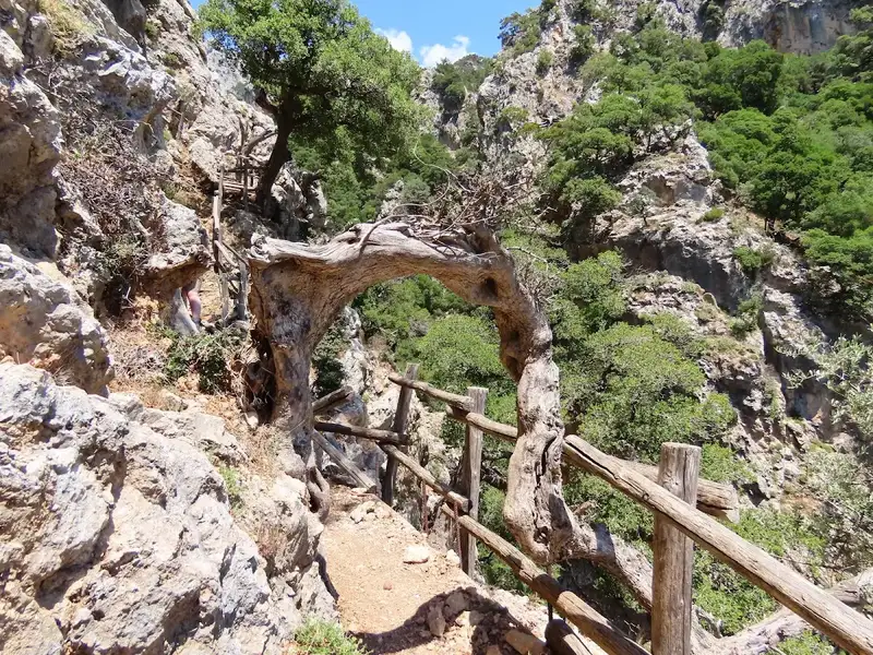
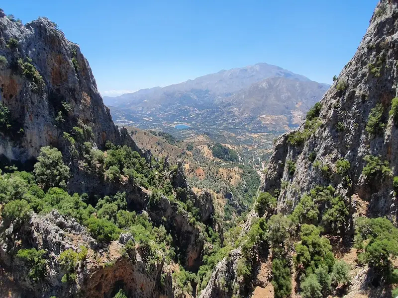
The main draw of Arkadi Gorge is its natural scenery, with impressive rock formations, varied plant life, and wildlife along the eastern bank. Steep rock walls, wooded slopes, and the seasonal watercourse give the ravine its character. Look for these features as you walk:
  • Rock formations and exposed cliffs shaped by the watercourse
  • Cretan flora, including native shrubs and flowering plants in spring
  • Fossils visible in the layered limestone
  • Waterfalls and dense vegetation deep in the inaccessible gorge bed
  • Wildlife and birds moving through the ravine
The variety is what makes the walk rewarding rather than any single landmark. Green, sheltered pockets alternate with open rocky ground, and the changing surface keeps the two hours interesting.

Combining the gorge with Arkadi Monastery

Arkadi Gorge and Arkadi Monastery sit together, so most visitors treat them as one half-day outing. The gorge begins at the monastery’s doorstep, which lets you tour the buildings and then walk the ravine on the same trip. The monastery rewards the stop on its own merits. Arkadi Monastery is one of the most historically significant monasteries in Crete and is best known for its role in the 1866 Cretan uprising against Ottoman rule. For opening details, photos, and the full history before you set out, the Arkadi Monastery guide covers the site in depth. Seeing the monastery first also gives useful context for the Venetian-era landmarks you notice along the gorge.

What to bring

Pack as if there is nothing on the trail, because Arkadi Gorge has no facilities of any kind. Bring your own food, water, and supplies, and plan to carry out everything you carry in. Bring the following essentials:
  • Water in sufficient quantity, since no springs or taps are available on the route
  • Food and snacks for the roughly 2-hour walk
  • Footwear with grip for the steep and rocky sections
  • Sun protection such as a hat and sunscreen for the open stretches
  • First-aid supplies for a trail without services
Good footwear matters most. The rocky, uneven ground is where careless steps cause trouble, so shoes with proper grip do more for your comfort and safety than any other item.

Other gorges near Arkadi Gorge

Arkadi Gorge sits within easy reach of several other Rethymno-area gorges, which makes it easy to plan more than one walk from the same base. Each lies a short drive away and offers a different landscape. Nearby gorges include:
  • Margarites Gorge, about 6.1 km away
  • Patsos Gorge, about 8.1 km away
  • Prasses Gorge, about 8.4 km away
  • Kaminolakkos Gorge, about 8.6 km away

Frequently asked questions

Where is Arkadi Gorge?

Arkadi Gorge is in the Rethymno region of Crete, Greece, near Arkadi Monastery. The gorge begins just north of the monastery and runs toward Pikris village.

How long is Arkadi Gorge?

Arkadi Gorge is approximately 4.5 kilometers long. The marked trail follows the eastern bank of the ravine from the monastery to where it meets the Gypofarago gorge.

How long does it take to hike Arkadi Gorge?

Hiking Arkadi Gorge takes about 2 hours. This covers the roughly 4.5 km route at a relaxed walking pace with stops.

How difficult is the Arkadi Gorge hike?

The Arkadi Gorge hike is moderate, with some steep and rocky sections. Sure footing helps on the uneven ground, and the wooded eastern-bank stretches are easier.

Is there an entrance fee for Arkadi Gorge?

No, there is no entrance fee to visit Arkadi Gorge. The trail is open and free to walk.

Are there facilities in Arkadi Gorge?

No, there are no facilities in Arkadi Gorge. Bring your own food, water, and supplies, because nothing is available on the trail.

When is the best time to visit Arkadi Gorge?

The best time to visit Arkadi Gorge is spring and autumn, when the weather is mild and the scenery is at its best. Summer hiking is possible but hot, with no shade or water in the open sections.

Is it safe to hike Arkadi Gorge?

Yes, hiking Arkadi Gorge is generally safe. Follow the marked trails, take normal precautions, and stay out of the gorge bed, where waterfalls and dense vegetation make it impassable.


  • Arkadi Gorge
  • 13.3 km

The Platania Gorge, positioned above the Platania village, links the southeast slopes of the Psiloritis range to the Amari valley, approximately 38km southeast of Rethymno. The river flowing through it collects water from the west of the Migia (1584m) and Spathi (1779m) peaks and channels it to the River Platys, which terminates in Agia Galini. A challenging yet secure trail winds its way up to the starting point at Kokkinoharako, skirting its steep slopes. The trail provides hikers with breathtaking views of the towering cliffs, vertical limestone rocks displaying yellow-red hues of erosion, rock shelters, and numerous caves.

At roughly 800m altitude, a small plateau hosts the cave-like church of Saint Anthony (Agios Antonios), constructed near a spring. The trail from Agios Antonios continues its ascent northwest, meeting a dirt road originating from the Vistagi village. On the opposite side of the gorge, in the east, lies the Panas cave, named after the ancient god Pan, god of the wild, shepherds, and flocks, who, as per local folklore, was born here. The cave houses petroglyphs from the Minoan era, indicating continuous worship at the site. The same dirt road from Vistagi provides access to the nearby church of Saint Mammes (Agios Mamas), the patron saint of shepherds in Christianity.
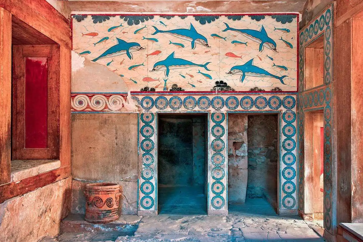

The Platania Gorge’s interior is stunning, though few get to witness it due to its steep waterfalls, which require technical canyoning equipment to navigate. The tallest waterfall stands at approximately 40m. The first known crossing of the gorge was in 2008 by the canyoning group of Giannis Bromirakis and Christoforos Cheiladakis. The cliffs provide a nesting habitat for various bird species, including vultures, hawks, wild pigeons, and crows.

  • Platania Gorge
  • 13.3 km

The untamed Prassano gorge, also known as the Gorge of Prasses, is situated 10 km southeast of Rethymnon. It commences south of the Prasses village and provides a captivating three-hour hike through enormous rocks and some fairly challenging passages, adding to the intrigue of the trek. The Prasano Gorge, currently serving as the “overflow” channel for the Potami dam, winds its way through the rocky hills of Gargana, with its stream terminating in the suburb of Platania, east of the city of Rethymnon. The river is engulfed by lush vegetation and towering plane trees, making it an ideal spot for a refreshing excursion.

The Prassano gorge can only be accessed from mid-June to mid-October due to the water flow. It is a crucial biotope of Crete, providing a habitat for buzzards and a small group of Bonelli’s eagles.

The Prasses Village
Set amidst the verdant Cretan landscape on the slopes of Vrysinas, Prasses serves as an entrance to the southern coast. This medieval village showcases the intermingling of diverse cultures that have traversed Crete, evident in the Venetian mansions, Turkish farmsteads, and Orthodox churches. The rich natural and cultural diversity make the village an ideal location for tours and walks. Heading south from Prasses, the road leads to the Potami valley, home to the dam of the same name.

  • Prasses Gorge

© All rights reserved. Crete Locals