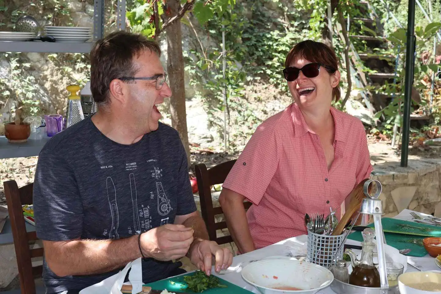
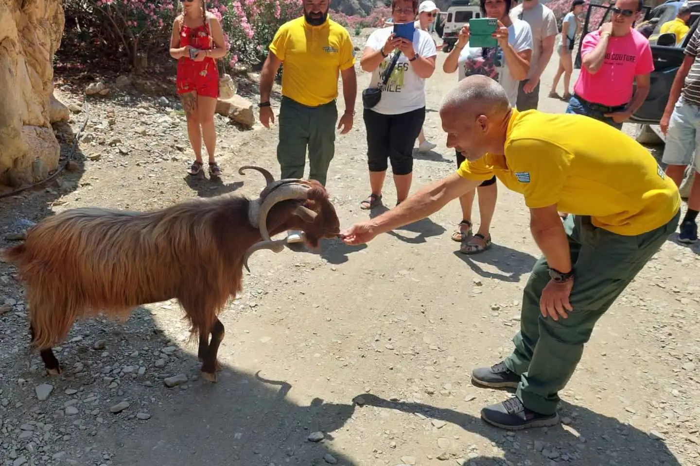
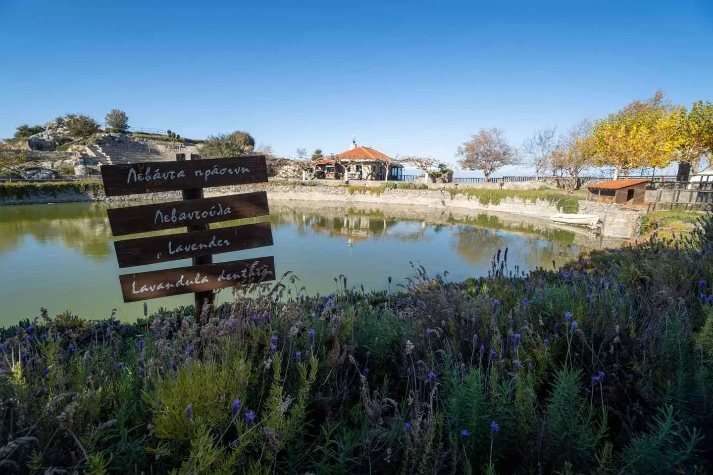
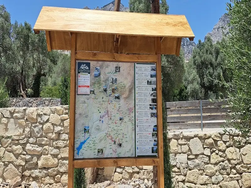
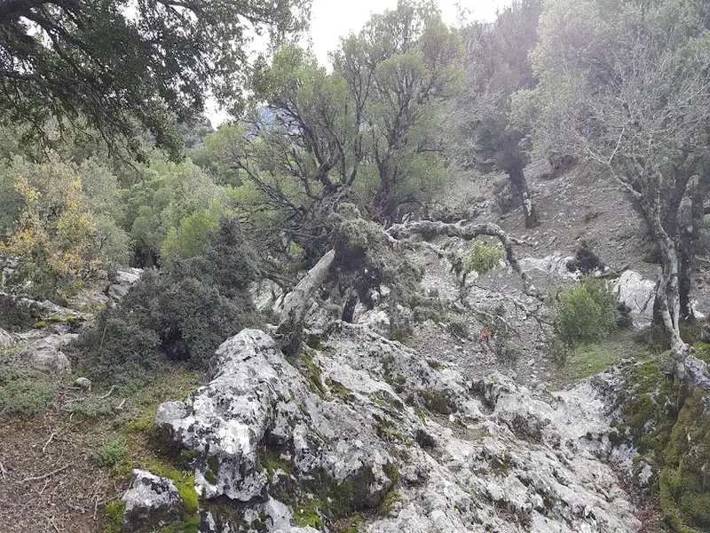
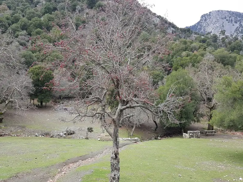
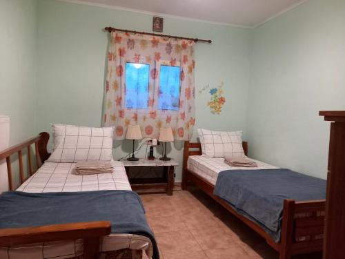
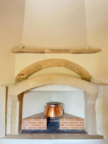
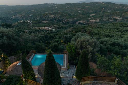
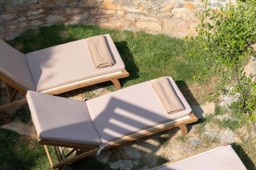
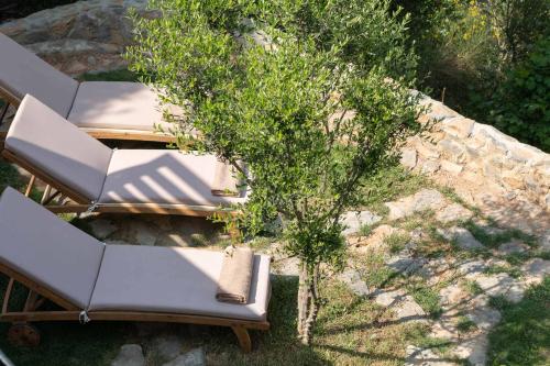
We offer cooking lessons in Krousonas village. Super family friendly! The programme last at least 4 hours. Firstly we will welcome you with some cretan delights and refreshments . We will discuss the menu and you can choose from the season options(vegan or not) what would you like to cook. Secondly we will visit the farm , we will feed the goats and sheeps and if its summer probably you can also milk the goats! In continue when you choose menu (vegeterian or not) we go to gather our organic vegetables from our orchard, you wiil have time to explore nature, breath fresh air, learn important information about the plant and of course live the experience cutting the fresh vegetables and fruit. When we collect our vegetables , we learn how we use every ingredient in our kitchen, how does it help our health, about the appropriate quantities we use and we start to how prepare our meal and how we cook. You will learn all the secrets of cretan cuisine with us . (It depends from the season you can also taste and watch the production of cheese.) When the meal is ready you can enjoy it in our veranda relaxing with the amazing view. A travel to history, nature and cretan cuisine.Dont forget to wear comfortable shoes and clothes. Cooking lessons become under the shadow of the grapevine. Also the cooking lessons are the perfect family activity! Live as a local for a day!!
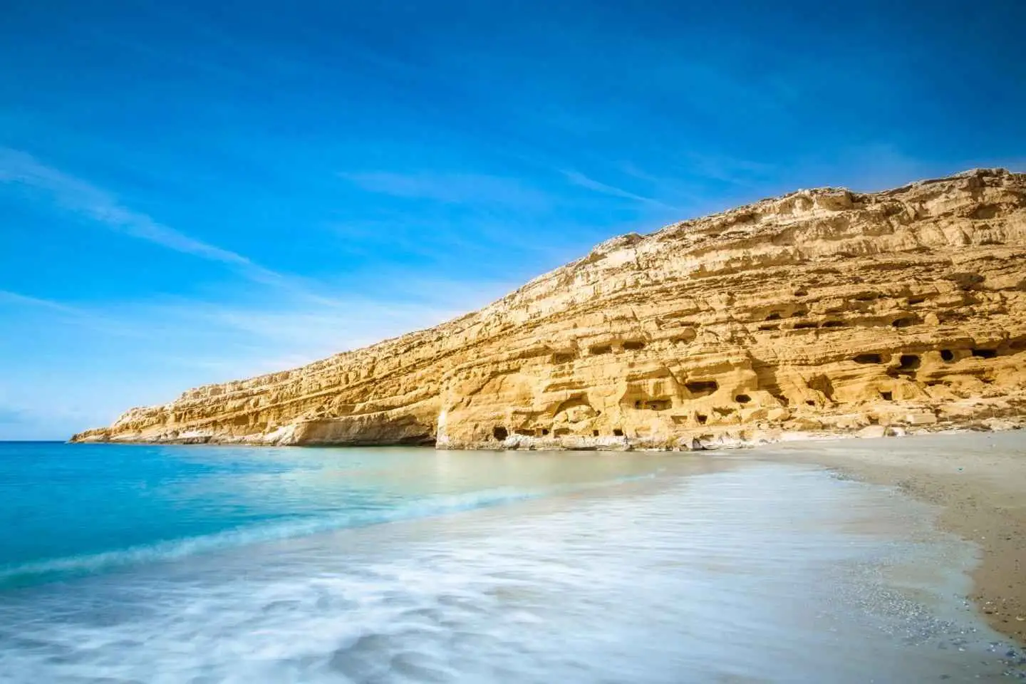
Take and airconditioned bus trip through South Crete on this day trip with pickup from Heraklion. Travel back in time as you explore Cretan history at the Gortys archeological site and have plenty of free time to soak up the vibes of at the colorful, seaside town of Matala.
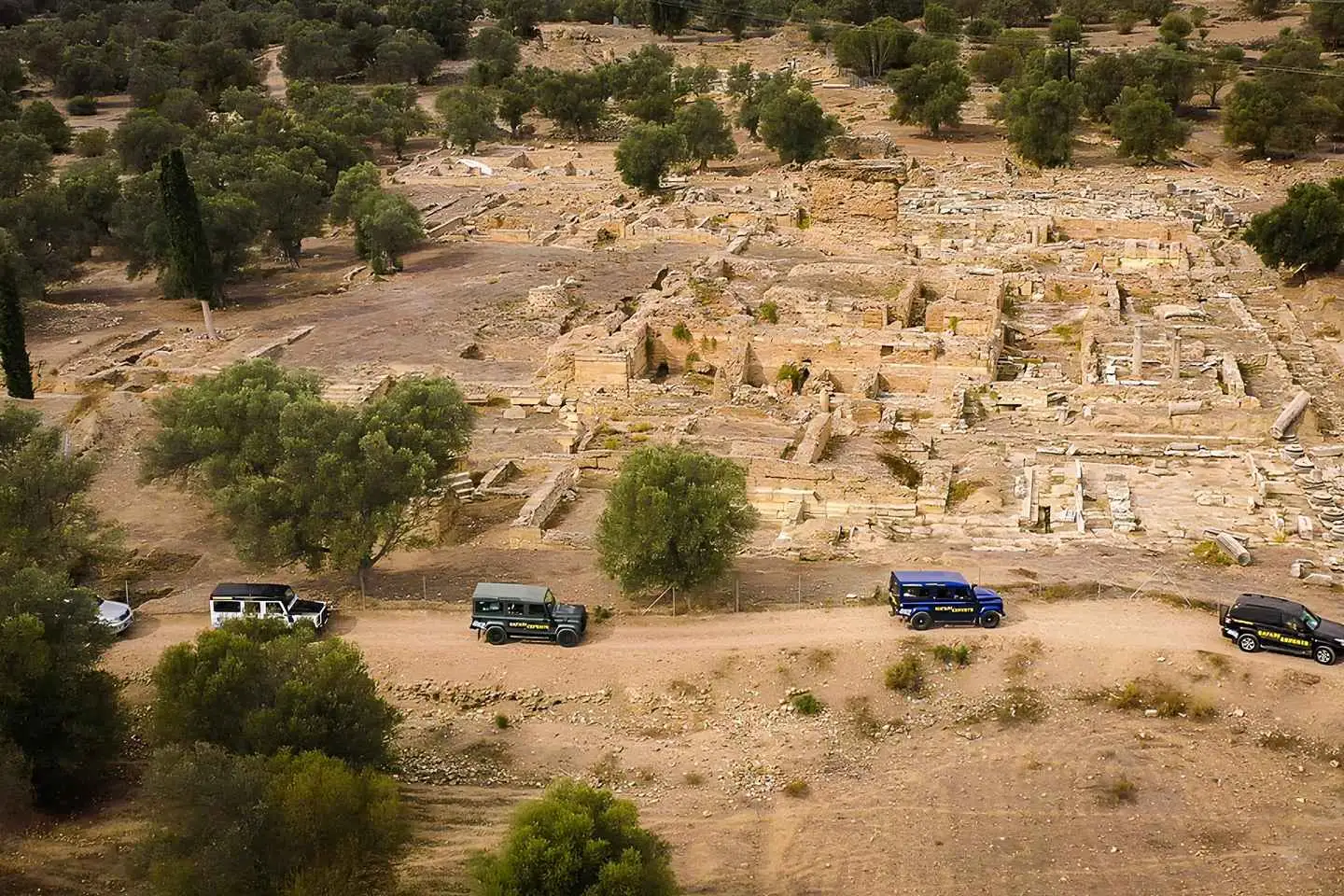
Be picked up from the comfort of your accommodation in selected locations on Crete in the morning. Drive for 1.5 hours to the Gortys archeological site. Purchase a ticket to the site to uncover sights from 5000 years of Cretan history.
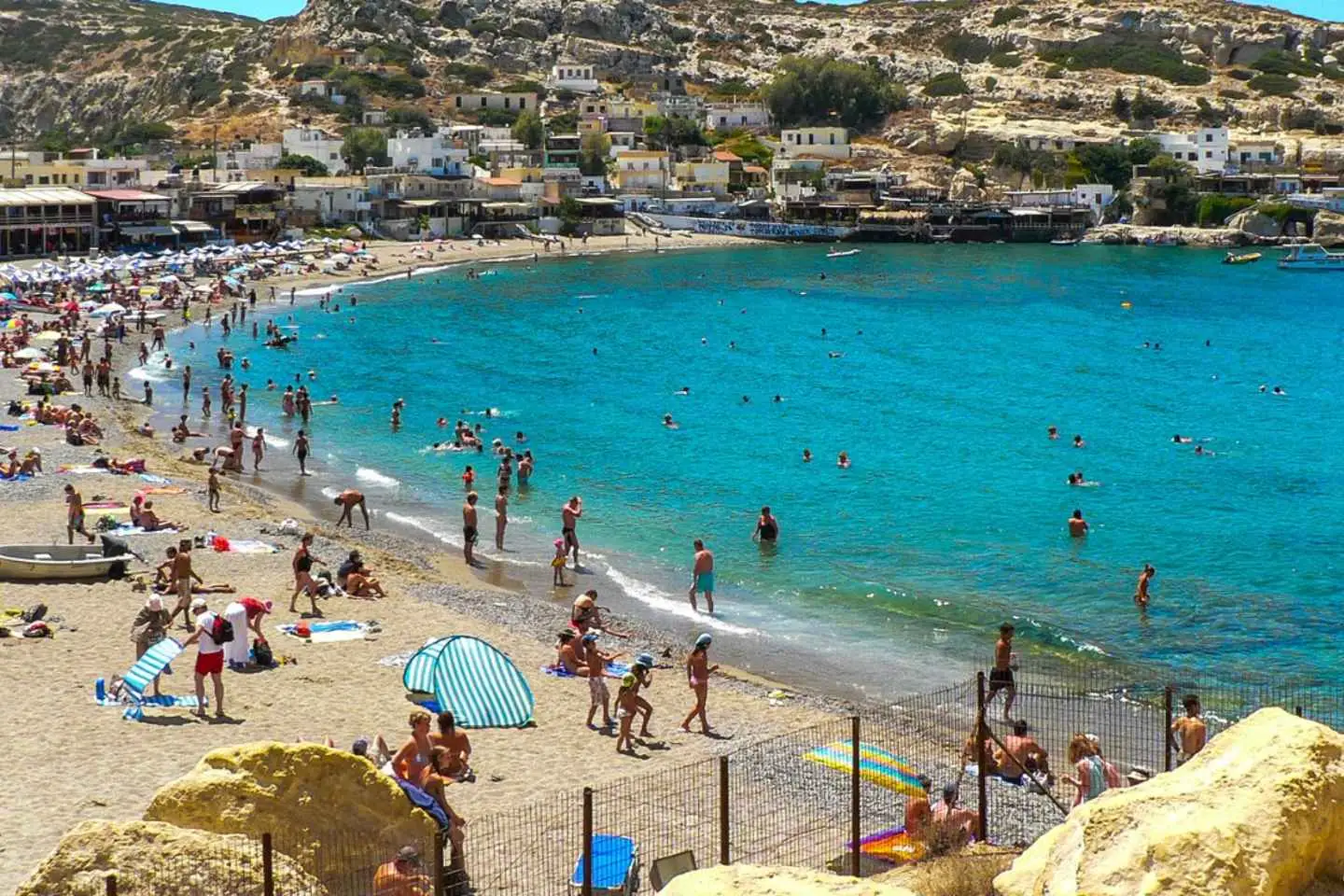
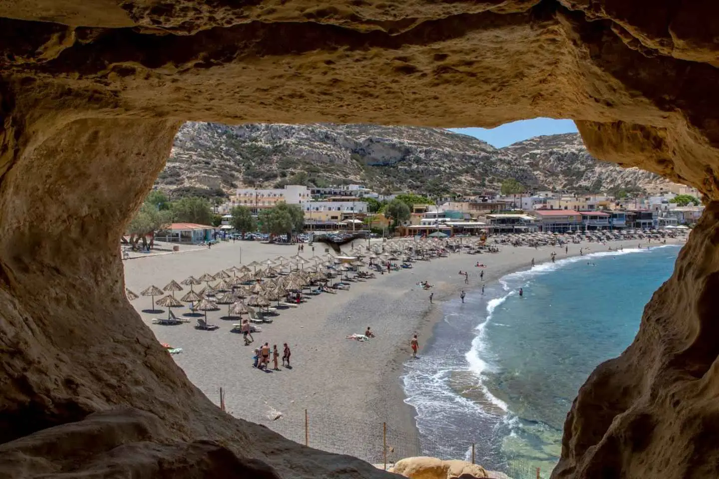
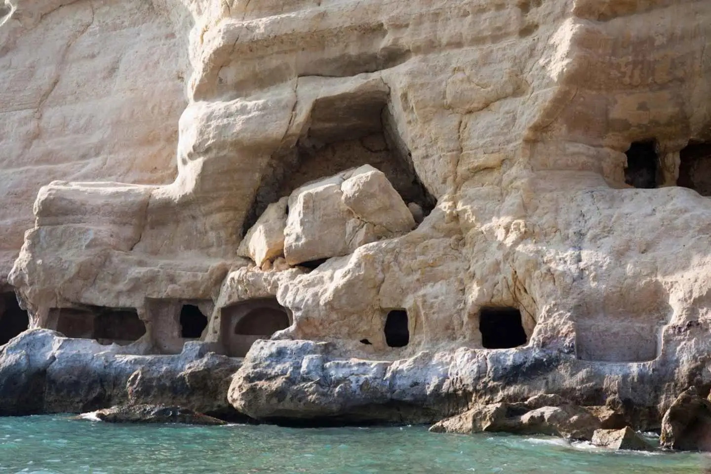
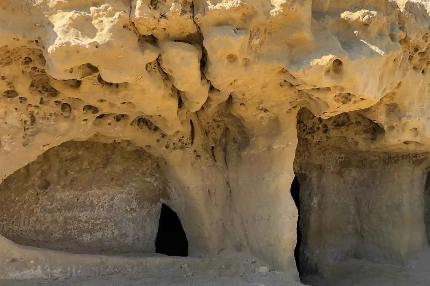
Take a short drive to Matala and spend 4.5 hours of free time where you can go swimming, sunbathe at the beach, purchase a ticket to the local caves or have lunch at a charming seaside café.
Return to your accommodation in Crete at the end of your free time in Matala.
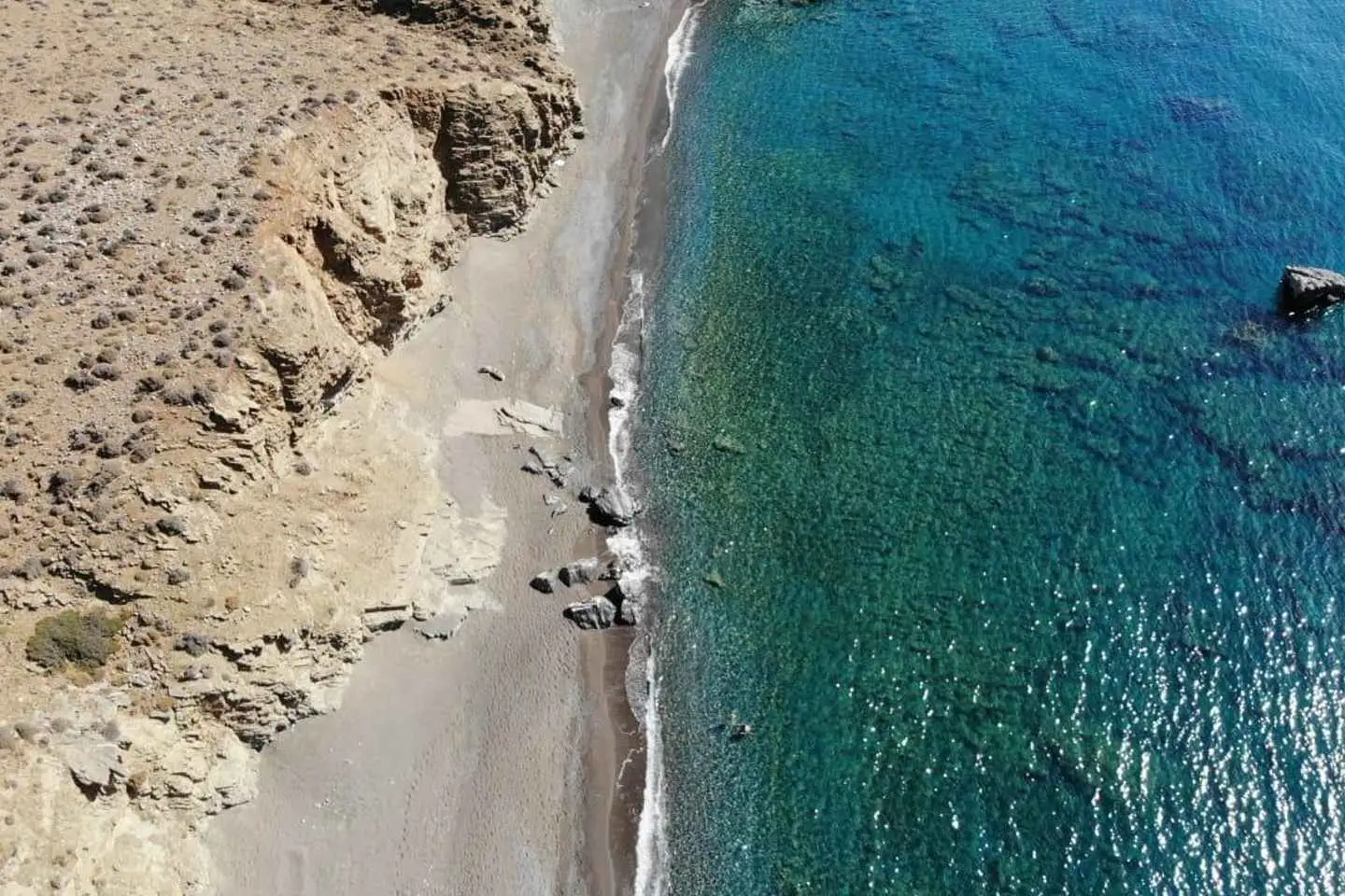
A special excursion to the South of the island, starting our exploration with a visit to the emblematic lake of incomparable beauty in Zaros in a highly impressive landscape in central Crete! Then driving among the biggest valley of Crete, Messara, where we drive through pre-Minoan, Minoan, ancient Greek, and Roman ruins. We continue to the gorge of Trypiti through the biggest valley of Crete, this of Messara where our descent inside the gorge and through huge vertical rocks ends at the well hidden and exotic beach of Trypiti. Landscape of incomparable natural beauty rich in flora and fauna. Arrival at the beach and time for swim in its crystal clear waters. Quiet beach for moments of relaxation just before our lunch with authentic Cretan food in the center of the wild olive tree forest in the canyon of St. Savvas. Satisfying experiences and good traditional food, we return to your hotel with the best memories !
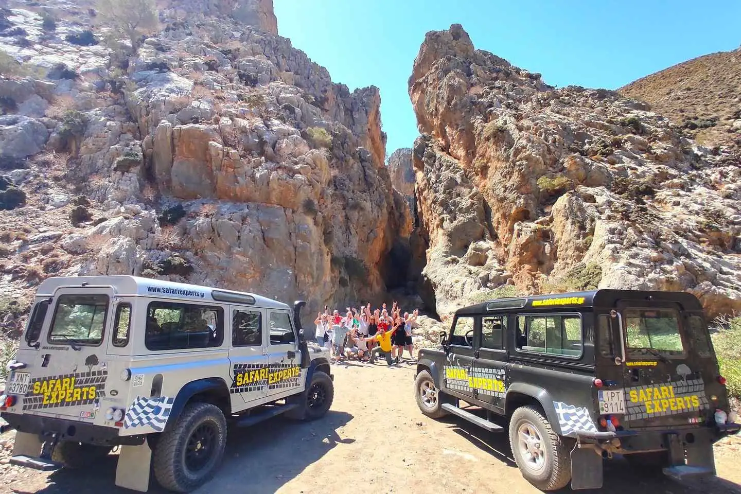
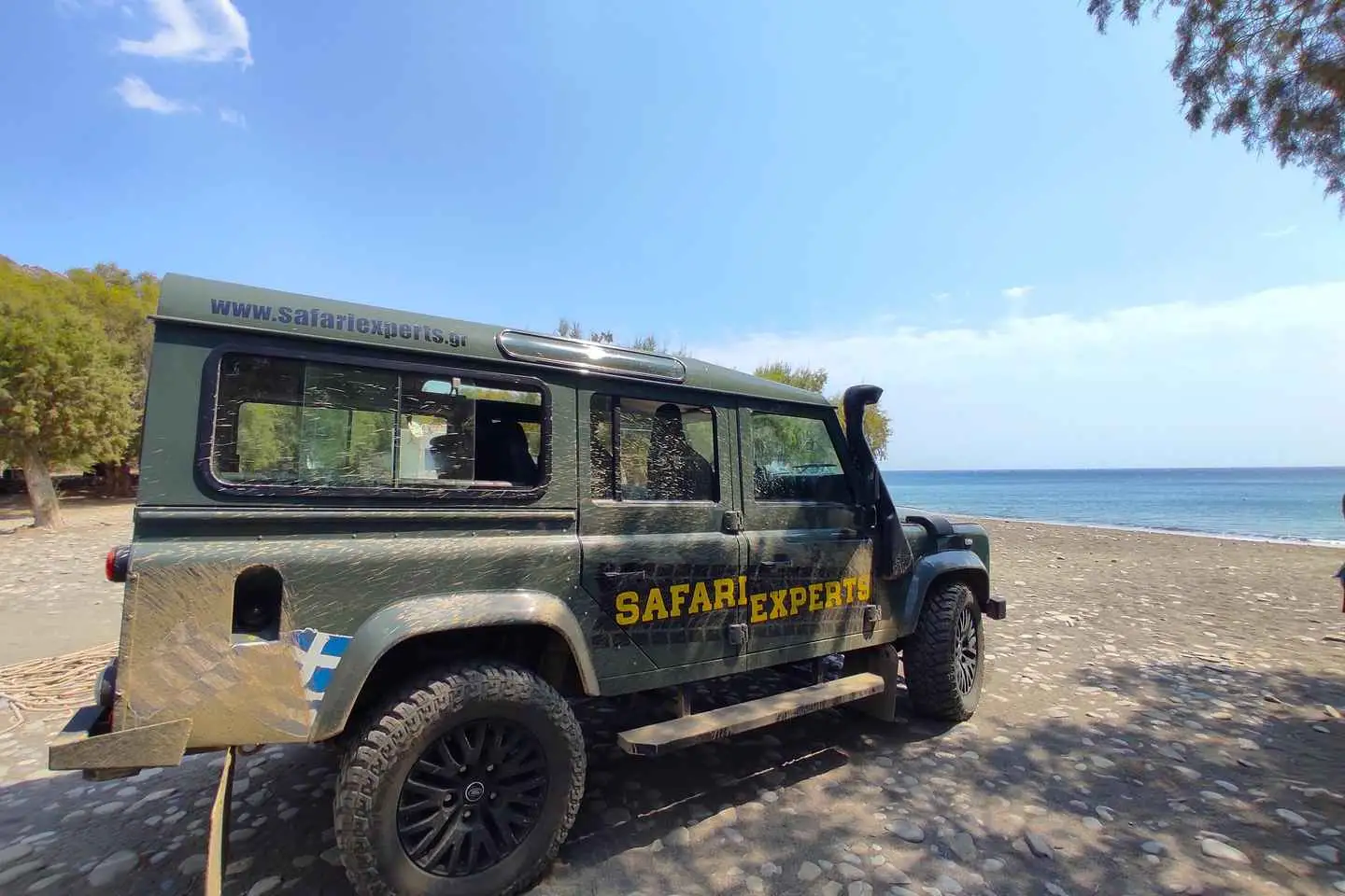
See Crete from a different angle on this all-day Land Rover safari tour.
Begin the day in Heraklion, where you will get to know your guide and listen to a short presentation of the excursion before heading to the Livadi Plateau.
Enjoy the incredible views of Heraklion and the Cretan as the Land Rover climbs through the mountainous, provincial road to the eastern slopes of Psiloritis. Marvel at the breathtaking atmosphere of the plateau, including the thousands of apple and pear trees that are scattered throughout the area.
Drive through the off-road route to the plateau of Nida, where you will visit Idaion Andron, the cave where Zeus was born. On the way back, stop at Ancient Zominthos, which was only discovered in 1982 but is considered one of the most important archeological discoveries in Crete.
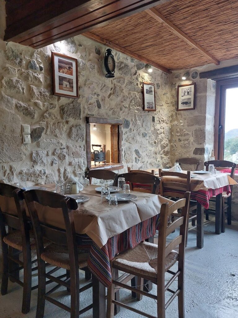
Have lunch in a local tavern in the village of Anogia.
No results available
Situated 8km west of Heraklion city, Linoperamata, also known as Ellinoperamata, is a scenic sandy beach stretching up to 7km long, beginning from Linoperamata and culminating at the Pancretan Stadium, 1km west of Heraklion. The beach is uniquely bordered by the Almiros river in the west.
The locals do not frequent Linoperamata as much due to the presence of a local Power Station and heavy industries in its western region. Nevertheless, the beach boasts of clean water and a serene atmosphere. Unlike the highly organized beaches in the neighboring Ammoudara, Linoperamata has a more natural appeal, although there are a few hotels in the vicinity.
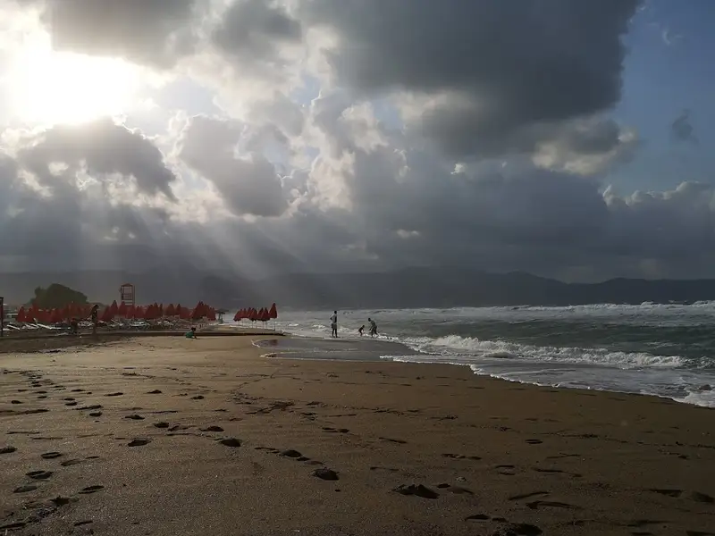
Open to the northern winds, the beach is often wavy, making it a favorite among windsurfers. Getting to Linoperamata from Heraklion is convenient via the city’s bus service.
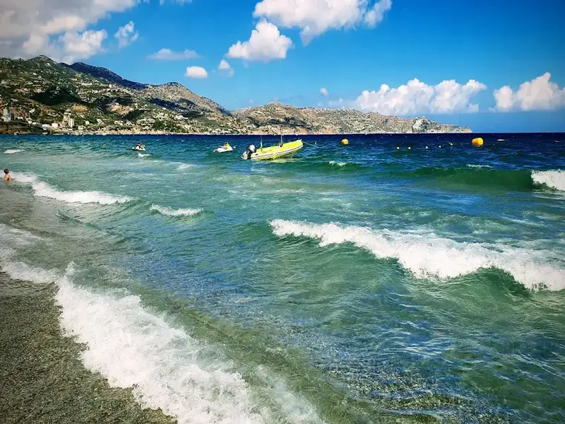
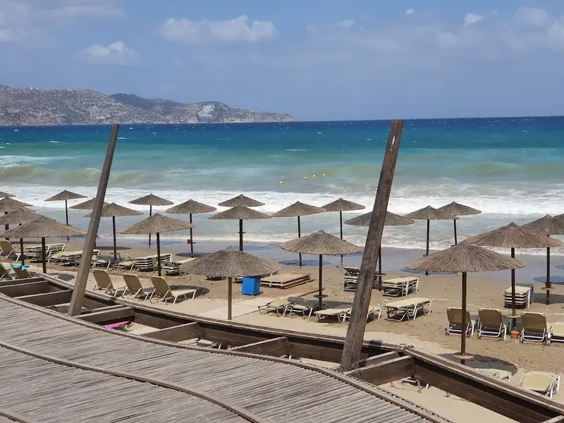
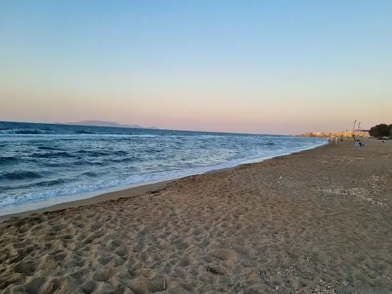
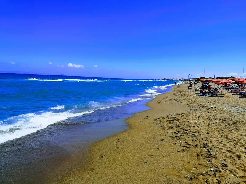
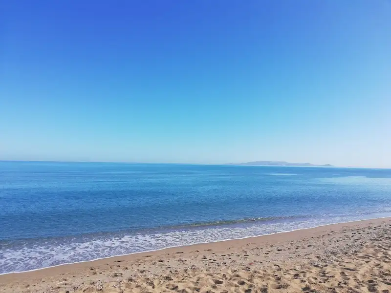
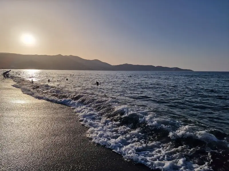
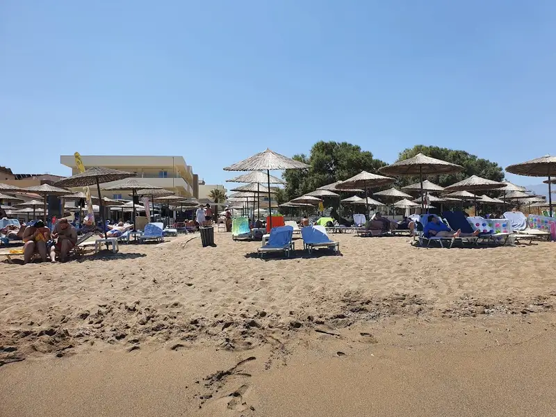
Ammoudara is a 7 km organized sandy beach that begins about 1 km west of Heraklion’s centre and runs west toward the mouth of the Almiros river. Ammoudara pairs long stretches of fine brown sand and shallow blue water with sunbeds, beach bars and water sports, so it suits both a busy family beach day and a quiet swim near the dunes. The beach starts at the Giofyros river mouth by the Pancretan Stadium, and a low rock strip about 50 m inland marks where the ancient shoreline once stood.
Ammoudara is one of the longest beaches in the Heraklion area, which is why it can feel busy and lively in one stretch and almost empty in the next. The sand is fine and brownish, the water is blue and shallow close to shore, and the sea often turns choppy when the wind picks up. Now effectively a suburb of Heraklion, the beach draws thousands of visitors each summer because it is close to the city yet still has open sand and dunes at its western end.
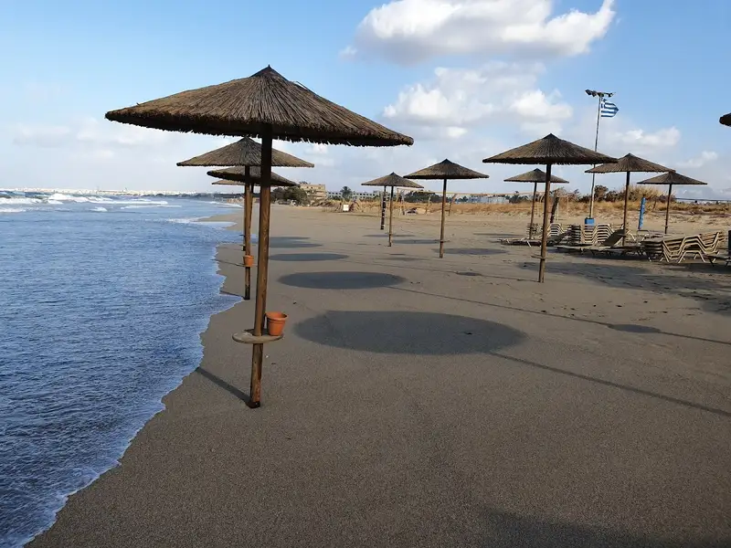
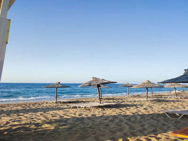
The organized sections of Ammoudara offer sunbeds, umbrellas, beach bars, lifeguards, showers and changing rooms, and several stretches carry a Blue Flag for water quality and safety. Because the beach is exposed to steady north winds, it is a popular spot for windsurfing and kitesurfing, and local schools rent equipment and give lessons. Visitors also find jet ski hire, parasailing, and snorkeling or diving and boat trips along the coast. Tavernas, cafes and beach bars line much of the front, so food, coffee and evening drinks are within a short walk of the sand.
For a calmer swim, head to the western part of the beach, which runs from the Pancretan Stadium toward the Xeropotamos wetland and its dunes. The river mouths of the Almiros and Gazanos, together with the Ellinoperamata area, stay quiet because they are protected natural spots rather than organized plazas. Just inland lies the Almiros spring, the largest water source in Crete, which feeds the most extensive wetland habitat in the area. Walkers can follow the easy Almiros gorge or climb Stroumboulas, the volcano-like mountain that rises over Heraklion, and from the western end the coastline continues toward Ellinoperamata beach.
Take Heraklion city bus line 6 from the centre, or drive the coastal road west, to reach Ammoudara in a few minutes. Heraklion International Airport sits about 9 km east, so a taxi or transfer from arrivals is short. Parking is available on the side streets near the beach, though it fills up on peak summer days. Renting a car is the simplest way to reach both the organized front and the quieter western spots, which you can arrange through Crete Locals car rental.
Ammoudara beach is on the north coast of Crete, starting about 1 km west of Heraklion’s centre and running roughly 7 km west toward the Almiros river. It lies in the Gazi area of the Malevizi municipal unit, so the city and the beach almost merge.
Take Heraklion city bus line 6 from the centre, or drive the coastal road west. Heraklion International Airport is about 9 km away, a short taxi or transfer ride to the beach.
Yes, the shallow, gently shelving water near the shore suits families with children. Lifeguards, showers, changing rooms and beach bars along the organized sections add to the convenience for a day out with kids.
Windsurfing and kitesurfing are the signature activities, thanks to the beach’s steady north winds. Jet ski hire, parasailing, and snorkeling or diving and boat trips are also offered along the coast.
Yes, several organized stretches of Ammoudara carry a Blue Flag for water quality and safety. The water is generally clean and blue, and it is shallow near the shore.
Ammoudara has fine, brownish sand along its full length. A low rock strip about 50 m inland marks the ancient shoreline behind the modern beach.
Yes, Ammoudara is known for steady winds and can get wavy, which makes it a favourite for windsurfers and kitesurfers. On calmer days the same open water is fine for swimming.
The best time to visit is summer, from June to September, when the sea is warm and the organized beach is in full swing. For fewer crowds, choose late spring or early autumn, or use the quieter western end near the wetland and dunes.
Yes, you can park on the side streets near the beach, and some hotels offer parking. Spaces fill up quickly on peak summer days, so arriving early helps.
Nearby you can visit the Palace of Knossos, Heraklion’s old town and Venetian walls, and the Cretaquarium. Closer to the beach, the Almiros gorge gives an easy walk and Stroumboulas mountain offers a longer hike.
No, this Ammoudara is the long organized beach west of Heraklion, not the smaller Ammoudara beach near Agios Nikolaos in Lasithi. The two beaches share a name but sit at opposite ends of the north coast.
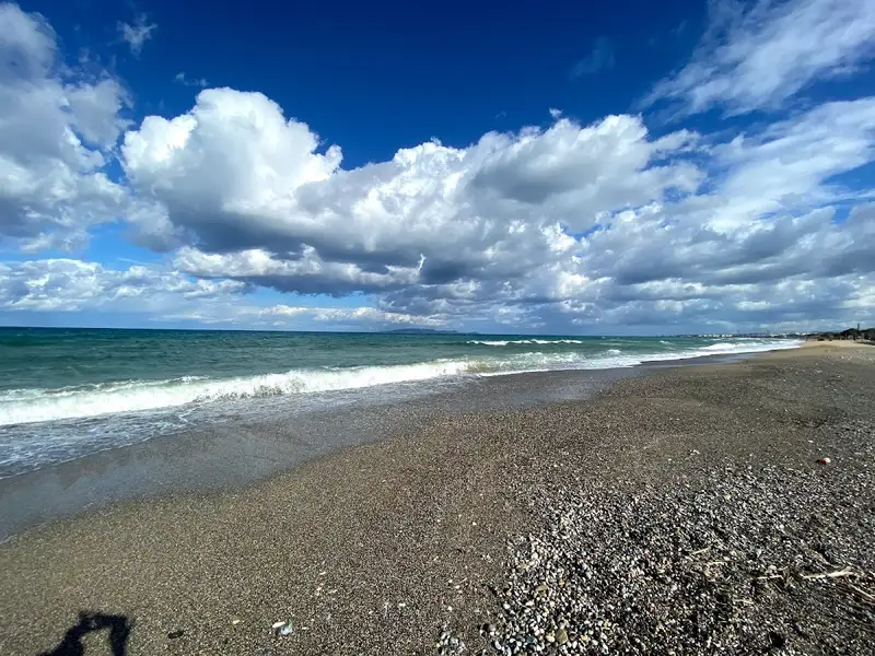
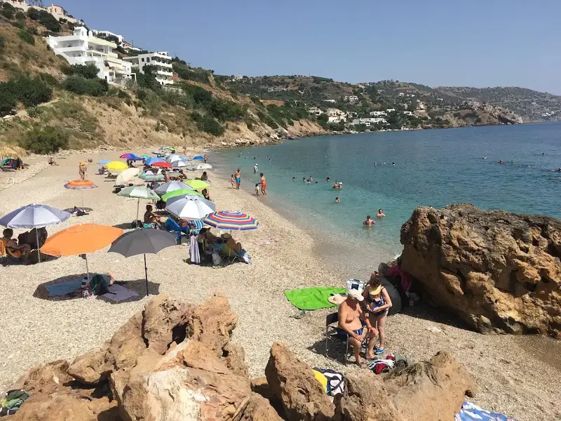
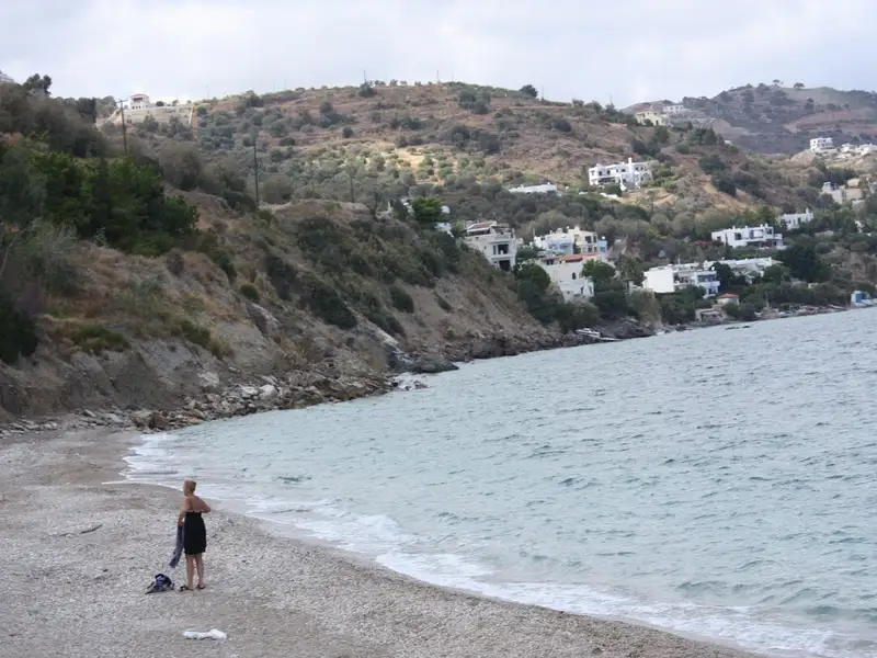
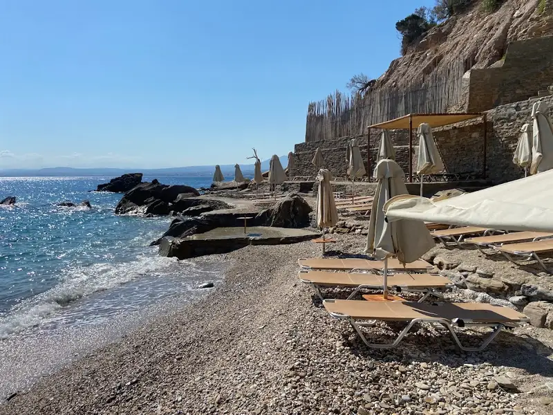
Pantanassa, situated 12km west of Heraklion, is named after the Monastery of Panagia Pantanassa, which is dedicated to the Virgin Mary. The beach lies adjacent to the quaint port of Pantanassa. Prior to the establishment of the port, Pantanassa boasted an enchanting beach, concealed by a small pine forest and possessing crystal-clear waters. Now, the beach has been divided by the port, causing Pantanasa beach to lose some of its former allure. Nonetheless, it still retains its beauty, featuring pebbles and clear waters.
The beach offers amenities such as umbrellas and sunbeds, and some pine trees still grace the nearby cliffs. A pathway from the port allows for easy access. If hunger strikes, there are eateries in the port of Pantanassa and nearby areas. Visitors can combine their beach visit with a trip to the Pantanassa Monastery, perched atop the pine-covered hill above the beach. Built in the mid-20th century, it was envisioned to serve as a charity monastery, but the founder, Nikolaos Xenos, passed away before realizing his dream. Today, the monastery functions as a nunnery.
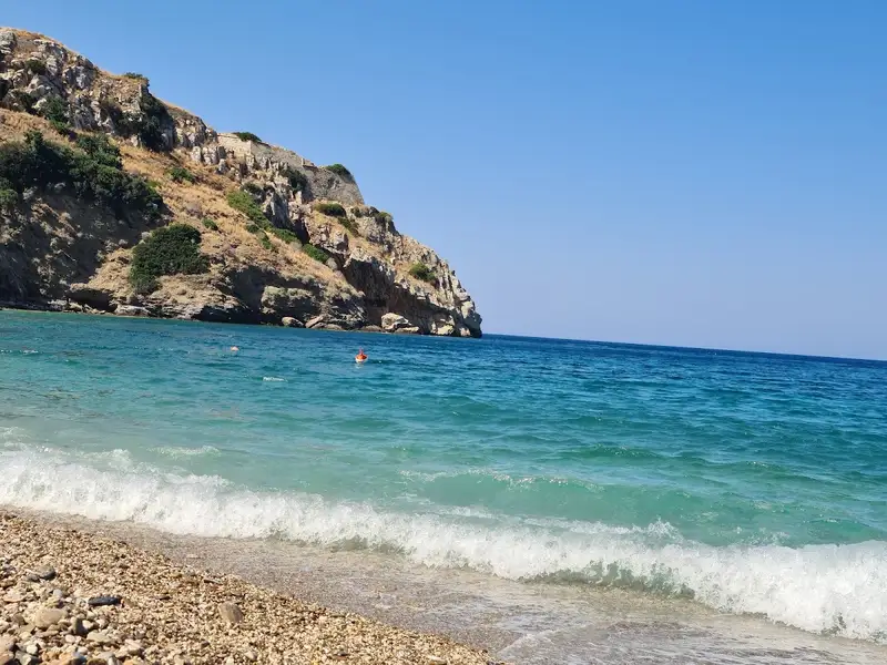
The Lefkadia area lies to the west of Pantanassa beach. Here, two secluded bays, largely unknown to most Heraklion residents, provide an ideal spot for relaxation. Recently, a beach bar was established and a trail leading to the beach was opened. Helidoni beach, featuring sandy and pebbly areas with a predominantly rocky seabed, is perfect for snorkeling. The western view is captivating, with the ruins of the old Paliokastro castle visible. Visitors can park in the nearby small pine grove and hike up to the castle.
Contrary to the prevailing belief that Crete’s scenic beaches are situated in remote areas far from major cities, those familiar with the island know that hidden gems are scattered across every corner. One such paradise is the Helidoni (Swallow) beach, just a stone’s throw from the historical Paliokastro fort in Rogdia near Heraklion. This haven is just a five-minute drive from the outskirts of Heraklion.
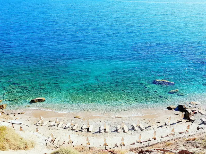
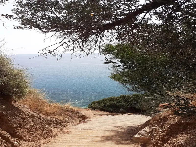
The beach known as Helidoni or Porto Helidoni is situated just south of Paliokastro and is nestled beneath the highway. A staircase with wooden steps descends to the sea level. The beach stands out for its cleanliness and the crystal-clear water that brings to mind the best beaches of southern Crete. The beach is oriented towards the east and, as a result, is typically calm, much like other beaches stretching from Ellinoperamata to Frankia. It is a quaint beach with a blend of fine pebbles and sand in certain spots. The seabed is quite rocky, making it perfect for snorkelling. There’s also a small canteen on the beach. Its name, Helidoni, is derived from the swarms of swallows that flock to this area annually.
Just a few meters east of the main Helidoni beach, another small sandy beach can be found, surrounded by picturesque rocks. This beach can only be reached by traversing the rocky coastline from Helidoni, lending it a tranquil atmosphere. There are stairs leading to the beach, but they pass through private properties, making them inaccessible to visitors.
No results available
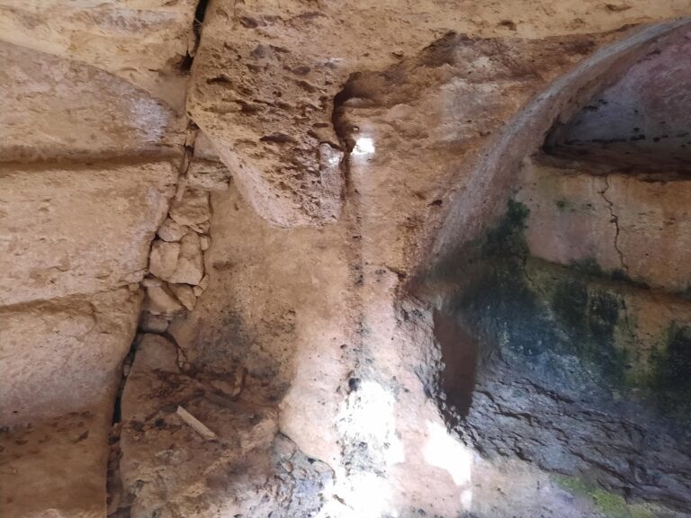
Agios Thomas (Saint Thomas) is one of the most impressive mountain villages of Crete, mainly due to the easily carvable rocks in the region. The area boasts incredible monuments of carved architecture, transporting us to ancient times with Minoan presses, Roman tombs, and cavernous temples. These features, combined with the breathtaking cliffs, natural caves, Byzantine churches, and lush green surroundings, create a magical landscape.
In the village of Agios Thomas, south of the church with the same name, a short path begins at the statue of local hero Demetrius Varouchas. After a 2-minute walk, we arrive at one of the most impressive archaeological sites of Crete, located at Gria Mandra.
At Gria Madra, numerous towering boulders are scattered throughout the area, with a trail weaving between them. Many of these rocks contain carved Roman tombs that remain in excellent condition, inspiring awe in all visitors. Around the Agios Thomas area, there are about 30 tombs.
En route to the abandoned settlement of Ardachthia, we encounter a rock covered in ivy and the carved cavernous chapel of Kera Spiliotissa. Inside a recess, about 15 meters after the church, archaeologists discovered a Greco-Roman inscription in 1910 that can still be seen today.
The inscription clearly states in Greek, “Dedicated to the goddesses Larkia Artemis, Demeter and Kori,” who were all deities of Hades. Residents of Agios Thomas claim that inside the church, there was once a chasm known as the Gate of Hades, which has since been covered with cement.
All of these findings suggest that Agios Thomas was a site for worshiping chthonic deities, or the deities of Hades. Even today, when someone from Agios Thomas passes away, their clothes are dropped into an underground river to transport them to the other world.
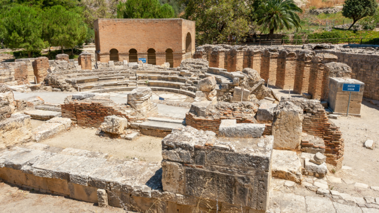
The archaeological site of Gortyna (Gortyn or Gortys) can be found 45km south of Heraklion, close to the village Agii Deka and next to the road connecting Agii Deka with Mires. The city covered a large area on the sides of the river Mitropolianos (or Litheos), even today surrounded by the ancient olive grove of Gortyna.
People have inhabited the area since 3000 BC, while during the Minoan era it evolved as one of the largest cities of Crete. In the 3rd century BC, it surpassed Phaestus and managed to possess the harbor of Matala, while retaining its port in Levina (current Lentas) and Lassea (current Chrysostomos). The town reached its peak during the Roman Empire when the Romans moved the capital of Crete and Cyrenaica (today’s Libya) to Gortyna. The city was finally destroyed by the Arabs in 828 AD, after around ten centuries of prosperity.
Gortyna is one of the most important archaeological sites in Greece. The first archaeological works started in 1884 by archaeologists Federico Halbherr and Stefanos Xanthoudides, after they discovered the Great Inscription of Gortyna. In 1898 the first excavations started, which continue until today.
Inside the main archaeological site (near the road) still stands a small part of the imposing basilica dedicated to the first bishop of Crete, Saint Titus. The temple was built in the 6th-7th century and was dedicated to Saint Titus after the destruction of the larger basilica of Saint Titus located nearby. The small part that has survived is currently used for the worship of Panagia (Virgin Mary). Around the church, several stone sarcophagi have been identified, used for burying the priests.
The Roman Odeon is the largest Odeon in ancient Crete, which is actually an indoor Roman theater. It was a very important part of the ancient city, where the Romans watched performances and talks. The auditorium has been maintained in quite good condition, as well as the semicircular orchestra and the stage which was decorated with statues. Next to the theater, there was the Agora and temple of Asclepius.
Next to the small theater, Halbherr discovered in 1884 four stone columns in the Doric dialect, where the civil law of Gortyna was engraved in boustrophedon script (bi-directional / alternation writing direction per line). Later, parts of the rest eight columns were found, some of them embedded on walls of houses in the village Agii Deka(!), thus completing the puzzle of the Law of Gortyn. The twelve columns (deltas) of Gortyna had about 640 verses, 605 of which have been found. The very progressive laws refer to 450 BC and were inspired by Minoan elements. The Law of Gortyn is the oldest surviving law in ancient Greece.
Near the parking place, a small room houses the Roman sculptures found in Gortyna. One of the most important statues probably depicts the emperor Antoninus Pius.
At the back side of the archaeological site, you will find a tall plane tree, which has something very rare. It is evergreen, unlike other deciduous plane trees, and has been the center of a fabulous myth. According to Greek Mythology, this is the perennial plane tree of Gortyna under which Zeus and Europe mated. From this union, the three kings of Crete were born (Minos, Rhadamanthys, and Sarpedon). Indeed, it is no coincidence that at Gortyna, several coins were found depicting Europe and Minos (or Zeus). Moreover, the name of Gortyna is believed to be related to Gortyna, the son of Radamanthys.
Within walking distance from the city (northwest) and atop a hill, you can visit the ruins of the acropolis of Gortyna. The hill was inhabited until 6000 BC, but after the Dorian invasion (1100 BC) it was fortified with a polygonal wall with towers at its corners. On the Acropolis, the archaeologists have identified the ruins of a Byzantine basilica (6th century AD) built on the site of an older Greek temple dedicated to Athena (7th century BC).
Within walking distance from the main archaeological site of Gortyna and south from the main road, there is the Praetorium (1st century AD). The Praetorium was a large, luxurious, and imposing building used as the headquarters of the Roman Province of Crete and Cyrenaica. It is still interesting to see the elaborate luxury marble floors, columns, and statues. In the complex, there were Roman baths, a courtyard with columns, a temple for the deified Augustus, courts, and other public buildings. During the Byzantine period, the building housed a monastery.
The Romans, as in every place they went, they built their favorite spas. As expected, in Gortyna they built a large complex of spas (thermae) with several auxiliary rooms and toilets. Like most Roman baths, in Gortyna there were warm baths, baths of intermediate temperature, and cold baths. The ruins of the spas in Gortyna have not been fully excavated, but still, the visitor can get a good feel for the area (near Praetorium).
The ruins of the Great Basilica of Gortyna are located 200m south of the main archaeological site, on the way to Mitropoli village. The five-aisled temple, discovered accidentally in 1978, was the largest church in Crete. The temple was dedicated to Saint Titus, but after its destruction by an earthquake (670 AD), it was moved to the temple inside the current archaeological site.
A few meters north of the Great Basilica, you can follow the path that leads to the Praetorium and will soon meet the sanctuary of the Pythian Apollo (7th century BC), discovered in 1887. The temple was the largest temple of Gortyna before the advent of Christianity in Crete (and the building of the church of Saint Titus). Next to the church, there was a small theater, an aqueduct, and some houses.
Near the Temple of Apollo, you will also see the temple of Isis, Sarapis, and Hermanubis. This temple is the only temple in ancient Crete dedicated to Egyptian deities. The temple was equipped with an underground crypt and a cistern.
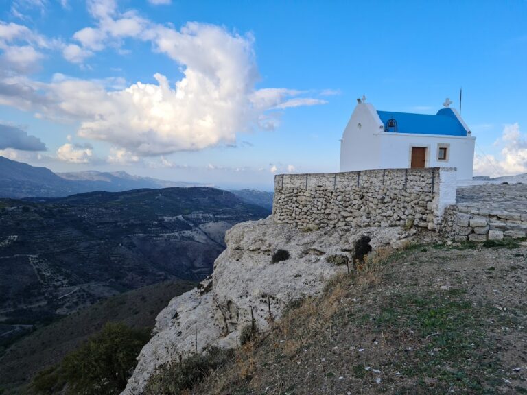
Atop the hill of Patella, near the village of Prinias in the Malevizi province, you’ll find the charming chapel of Saint Panteleimon, offering breathtaking views in every direction. Patela is home to the ancient Minoan town of Rizinia or Apollonia, which thrived until the Roman era. Excavations by the Italian Archaeological School uncovered a small 5th-century BC fort with metal weaponry, two 7th-century BC temples (one likely dedicated to Rhea), and a temple dedicated to the Minoan Goddess of Snakes.
Notable discoveries include a frieze featuring horsemen, deer, and panthers, two seated goddess statues, and pottery sherds that confirm the worship of Athena in the 2nd century BC. An inscription with the letters (I)ZENIA(A), also found on inscriptions at Gortyn, was crucial in identifying the city as Rizinia. Every four years, Rizinia provided animals for sacrifice to the Idaean cave.
A road from Prinias leads to the hill of the ancient city, followed by a short uphill path. This large, extensive archaeological site is definitely worth exploring. Almost across the road, a cemetery has been discovered, and on the way to the village of Asites, you’ll come across the Siderospilies (Iron Caves) – Roman-era tombs carved into soft limestone. Don’t miss the carved wine presses at Patitiria, the Patella waterfall, and the unique rock formations known as Grias Pites, all located beneath Patella.
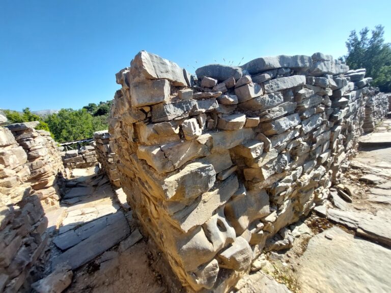
The ancient site of Zominthos can be found in the Psiloritis range, 7km west of Anogia, on the road leading to the Nida plateau. Discovered in 1982, Zominthos is considered one of the most significant archaeological finds in Crete, often compared to Knossos.
During archaeological work in the cave of Ideon Andron (1982), archaeologist Yiannis Sakellarakis spoke with a local shepherd who mentioned the name Zominthos. Sakellarakis immediately realized that this name referred to an ancient location and visited the site the next day, where he quickly identified traces of a Minoan mansion.
Excavations are still ongoing, conducted by the Greek Archaeological Service and the University of Heidelberg. So far, archaeologists have uncovered a large, luxurious building covering an area of 1360 square meters, constructed from local stone and consisting of around 80 rooms. The two- or three-story building had walls plastered with clay for insulation and adorned with murals. A smaller Mycenaean building has also been discovered nearby. It is remarkable that such a large complex existed at an altitude of 1200m, although it is believed to have been closed during the winter months due to snow.
The building was constructed around 1900 BC, reached its peak in 1600 BC, and was destroyed in 1400 BC, likely by an earthquake. Zominthos was undoubtedly one of the most prominent Minoan settlements and is thought to have been a station for Minoans visiting the sacred cave of Ideon Andron. Indeed, Zominthos is situated on the ancient trail that began at Knossos, passed through the gorge of Kroussonas, Livadi Plateau, and then through Zominthos, where a sacred spring was located (at the site of the current church of Saint Marina). According to Homer, King Minos visited Ideon Andron every nine years to receive laws for his people. Thus, Zominthos may have also been built to accommodate Minos during his visits to the cave.
However, Zominthos also appears to have served as a financial and organizational center for trading the famous Cretan cypress, as well as the popular agricultural products and livestock of the Ida Range. It is no coincidence that scripts from Knossos mention thousands of sheep, which likely originated from Ida.
Archaeologists are working to reconstruct the physical environment in which Zominthos was situated. This task is relatively easy, as there has been no human presence for centuries, and the natural environment has remained intact. Additionally, within the archaeological site, a large hawthorn tree has been officially declared a monument of nature.
No results available
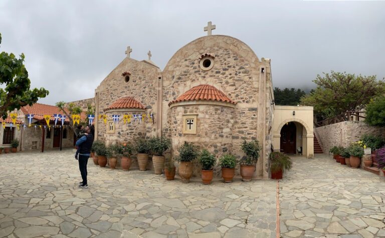
The Agia Irini monastery can be found 25km south of Heraklion and 3km west of Kroussonas village, situated on the slopes of Psiloritis at an elevation of 630m. To reach it, take the road that connects Kroussonas with the Livadi plateau.
Functioning as a nunnery, this monastery is among the oldest in Crete. It is thought to have been constructed towards the end of the Venetian Era, but was destroyed by the Turks in 1822 and later rebuilt in 1944.
Dedicated to St. Irene (celebrated on May 5) and the Assumption (celebrated on August 15), the two-aisled church is part of the monastery. As one of the thriving monasteries in modern Crete, it is exceptionally well-maintained by the resident nuns.
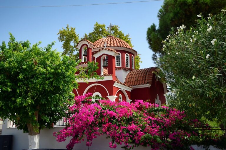
The Panagia Kalyviani Monastery is situated at a height of 80m, approximately 60km south of Heraklion, close to the villages of Mires and Kalyvia. This relatively new monastery was constructed on the remains of an older one.
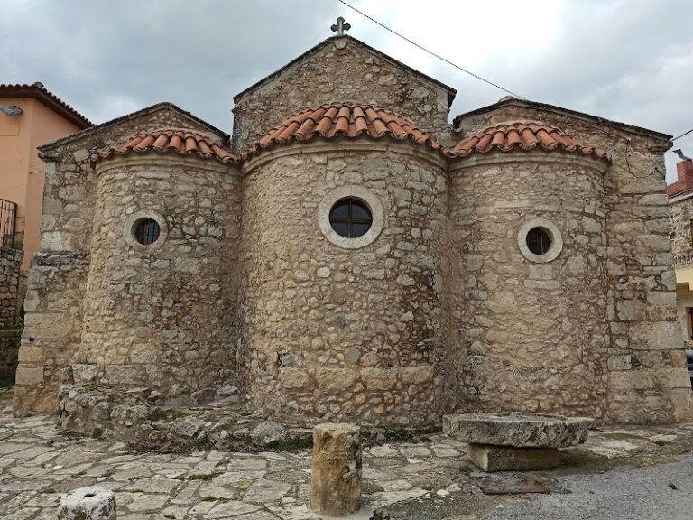
In 1873, the current church was built on the site of the previous monastery, and the icon of Panagia (Virgin Mary) was discovered in the same year. The Kalyviani complex includes the old church as well as the new temple, which was constructed in 1924 and houses the ancient icon. The new church features three aisles dedicated to the Nativity, the Annunciation, and the Assumption of the Virgin Mary (celebrated on August 15). Additionally, there is a small church dedicated to Saint Haralambos, who was a monk in the monastery and is celebrated on August 23.
Kalyviani exemplifies a foundation that provides assistance and charity to the poor and disadvantaged. In 1956, Bishop Timothy Papoutsakis established a Christian Foundation at the monastery. He constructed an orphanage, hospice, housekeeping school for girls, elementary school, kindergarten, summer camps, and workshops for weaving, knitting, and vestment-making, among other things.
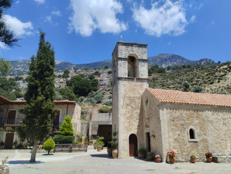
The Vrontissi Monastery can be found 49km southwest of Heraklion, situated near Vorizia Gorge and nestled between the villages of Zaros and Vorizia. From this vantage point, one can enjoy panoramic views of Vorizia village and the Messara plain. Dedicated to Saint Anthony, the monastery is among the oldest in Crete.
While the exact date of its construction remains unknown, it is believed that the monastery’s name comes from its founder. Initially, Vrontissi was a dependency of the nearby Valsamonero Monastery, but it eventually grew so wealthy that it surpassed its parent monastery and became one of Crete’s most significant monastic centers.
According to tradition, Michael Damaskinos and El Greco, two prominent figures in the Cretan School of Iconography, lived and worked at Vrontissi Monastery. In fact, six of Damaskinos’ icons, now on display at the Museum of St. Catherine in Heraklion, were once housed at Vrontissi. The surviving 14th-century frescoes in the church, which show influences from the Renaissance, demonstrate the high level of artistic expression that developed at the monastery.
The church itself is a two-aisled structure dedicated to St. Anthony (celebrated on January 17) and St. Thomas (celebrated on the first Sunday after Easter). Its bell tower, built in Venetian architectural style, stands as a separate structure. Several frescoes are preserved in the south aisle, including the Supper at Emmaus, the Apostles, Minologia, and Saint Symeon holding baby Jesus. The church also houses the 16th-century icon of Ambelos, created by Cretan artist Angelo.
Despite once being fortified, the monastery’s walls were eventually demolished in the name of modernization. The most striking remnant of the monastery’s former glory is the impressive 15th-century fountain that features depictions of Adam and Eve. At the feet of these figures, four others release water from their mouths, symbolizing the four rivers of Eden. This fountain is considered the most beautiful provincial example of fountains in Crete. The Turks referred to Vrondisi as Santrivanli Monastir, meaning Fountain Monastery.
Today, the Vrontissi Monastery serves as the International Village of Cretan Youth.
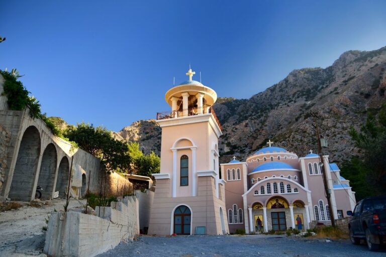
Agios Nikolaos Monastery (Saint Nicholas) can be found at the end of the stunning Gafaris (or Rouvas) canyon, approximately 48km southwest of Heraklion and 3km north of Zaros village. In 1994, a massive fire destroyed much of the gorge’s beautiful pine forest, and the monastery is located near this site.
Visitors can reach the monastery by car from Zaros, taking the path that leads to the gorge (20 minutes north of Lake Zaros). Regrettably, the monastery’s architecture is a modern and unattractive anomaly within this landscape. The only points of interest for visitors are the old church of St. Nicholas, featuring 14th-century Paleologean-style frescoes, and the restored temple of Agia Paraskevi.
Originally, the monastery functioned as a secondary monastery of Varsamonero Monastery. It was later abandoned but has since been repurposed as a monastery for Old Calendarists. They have constructed a large modern temple and various cells, utility rooms, and other facilities. The current temple is dedicated to the Resurrection of Christ and Agia Kiriaki, while the bell tower houses eight bells, the heaviest of which weighs 12 tons.
In the surrounding area, visitors can also explore the ancient cavernous church of St. Efthimios, adorned with numerous frescoes and featuring an inscription dating back to 1438.
No results available
No results available
No results available
No results available
No results available
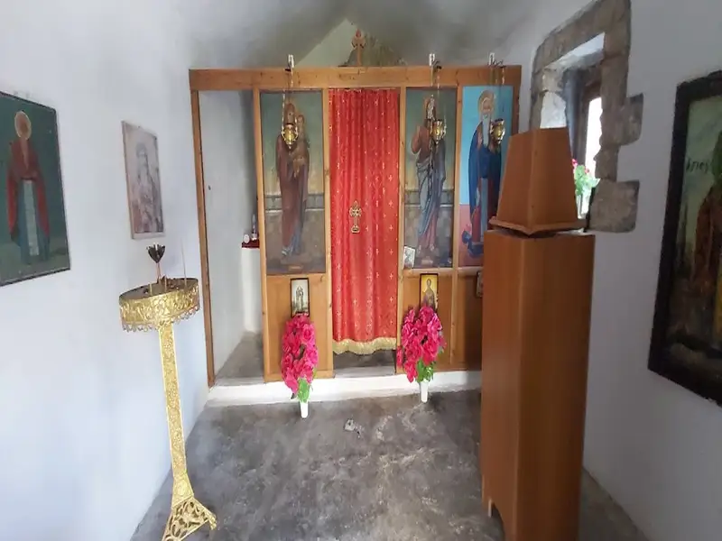
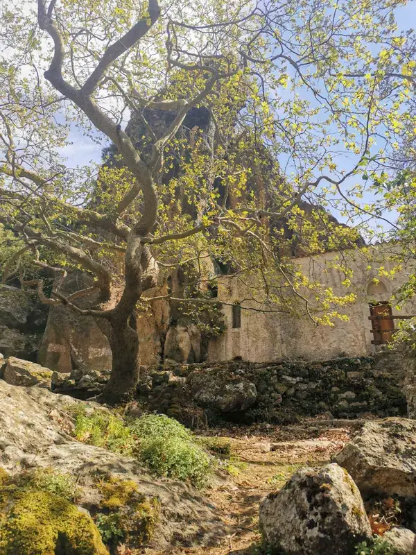
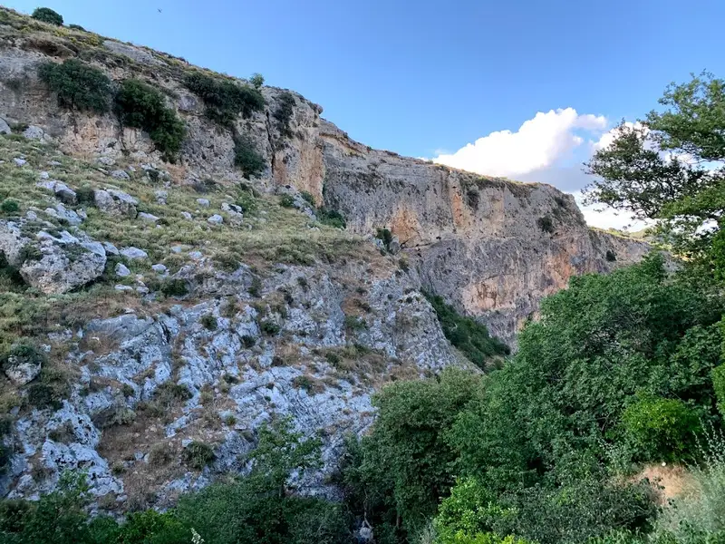
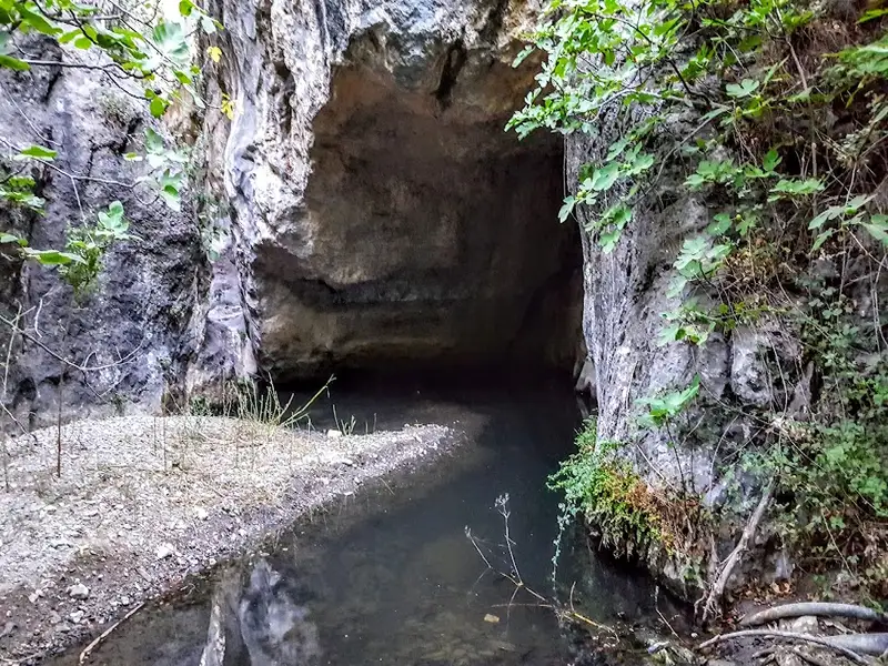
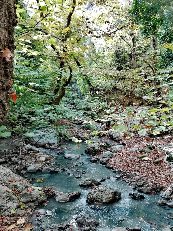
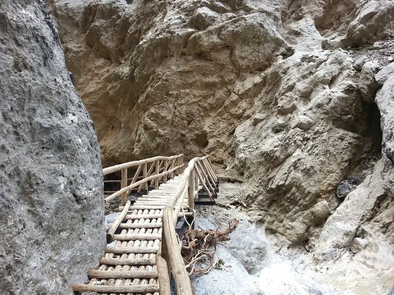
Saint Charalambos Gorge, a picturesque but petite canyon, is situated to the south of Ano Asites village. The gorge is named after the Saint Charalambos church that was constructed near its entrance beneath a rock. Up until mid-spring, the gorge is filled with water, compelling trekkers to walk along its walls to bypass the riverbed. The stream of the gorge carries water from the valley situated east of Prinias village to Agios Antonios gorge, eventually forming the Xeropotamos river that concludes at the Pancretan Stadium beach in Heraklion.
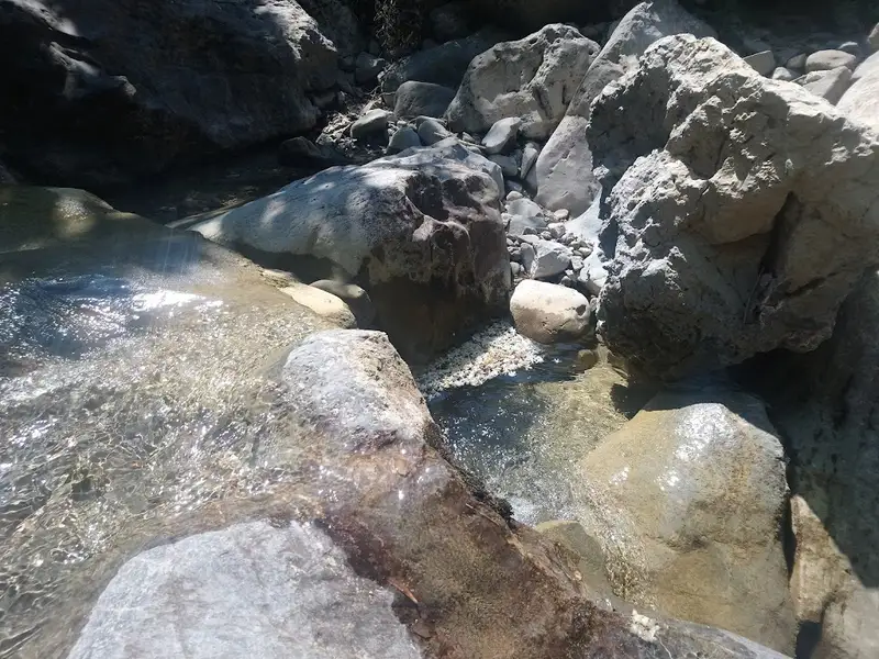
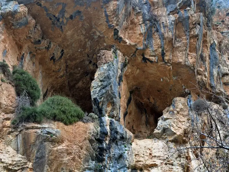
Our journey begins from the Agios Charalambos chapel nestled in a large rock shelter. We then make our descent along the river, where lovely ponds are formed. As we look upward, the grand walls with their vast caves become visible. The exit of the gorge has incredibly narrow passages which require us to traverse along a trail during winter. However, in the summer, it’s possible to walk on the riverbed, but caution is advised to prevent any ankle injuries.
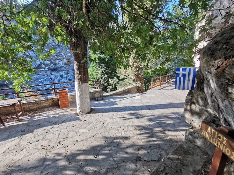
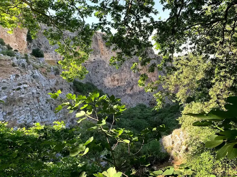
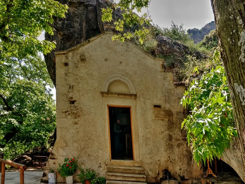
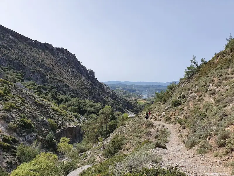
To the west of Ano Asites village, the river that initially forms the Saint Haralabos gorge, and later flows through the village, ultimately transforms into a breathtakingly deep and dramatic gorge, known as the St. Anthony gorge. The descent trail leading to the canyon bed can be found near the scenic Byzantine church of St. Anthony, which also hosts a drinking water spring.
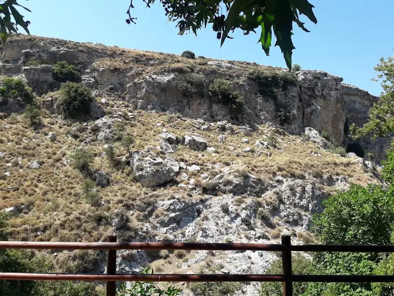
The canyon is teeming with lush vegetation, including towering plane trees and various other plant species. The trail within the canyon forms part of the European E4 hiking route. This trail concludes at the exit of the gorge in the village of Kerasia, close to the Faneromeni church. Regrettably, the riverbed is littered with trash from Asites.
The Venerato canyon, a hidden gem, is nestled 17km south of Heraklion, adjacent to the Venerato village and Paliani Monastery. Despite its modest length of 500m, the deepest part of the gorge leaves a lasting impression on its visitors, despite the visible impact of human activities.
The journey begins in Avgeniki village and concludes at the Agios Fanourios church in Venerato, nestled beneath a towering cliff. A brief stroll through the canyon from Agios Fanourios can be paired with a quick exploration of Venerato village. This charming village, once home to Venetian nobles, was often referred to as “Little Venice” due to its picturesque landscape.
The Apollonas river, which maintains its flow throughout the year, meanders through the gorge, carrying water from Agia Varvara to the Giofyros river. The river’s name, Apollonas, is derived from the ancient town of Apollonia, which once stood here. Some remnants of this town still exist near the gorge. As one ventures further into the gorge, the vegetation and platan trees flourish, harmoniously blending with an ancient watermill. The gorge narrows down to a width of 60cm, with the walls towering up to 25 meters.
Moving ahead, the Gra Spiliara (Old Cave), a haven for wild pigeons, emerges. The cave and the canyon served as a sanctuary during the Turkish Era and the German Occupation of Crete. Some parts of the gorge require wading through water or climbing over rocks. It is advisable for those descending the gorge to wear a helmet to protect against potential falling stones caused by the goats that inhabit the canyon’s edges.
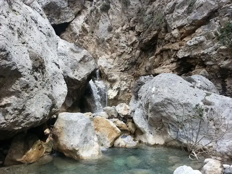
After walking another 80m, you’ll reach the Kouroupi area. Here, the canyon walls almost converge, creating several small waterfalls. There’s a narrow, 20-meter long crevice in the rock that ends in a 7-meter high cliff and a deep pond. This marks the end of the walkable part of the gorge.
Until the 1950s, locals sourced their drinking water from this river, used it for irrigation, and it was home to a variety of wildlife including turtles, eels, and crabs. Sadly, pollution and domestic sewage have significantly degraded the ecosystem. This beautiful location deserves a better fate, and we can only hope it attains it.
The Agios Nikolaos, Gafaris or Rouvas gorge is nestled between the Ambelakia and Samari peaks. This gorge, the most significant in Psiloritis and central Crete, is named after the St Nicholas monastery located near its exit at Zaros. This area is an ecosystem teeming with diverse flora and fauna, smaller canyons, and striking geological formations and cliffs. It spans 4 km, with 2.7 km developed by the Forest Service for activities like hiking, mountaineering, rock climbing, and wildlife observation. However, a fire in 1994 significantly damaged the beautiful Rouvas forest near the gorge’s south entrance.
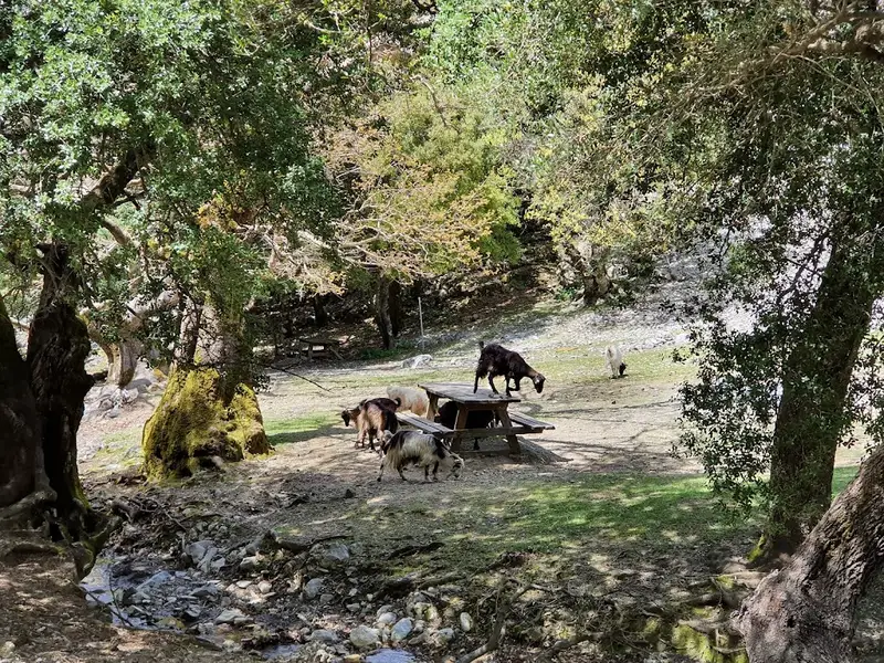
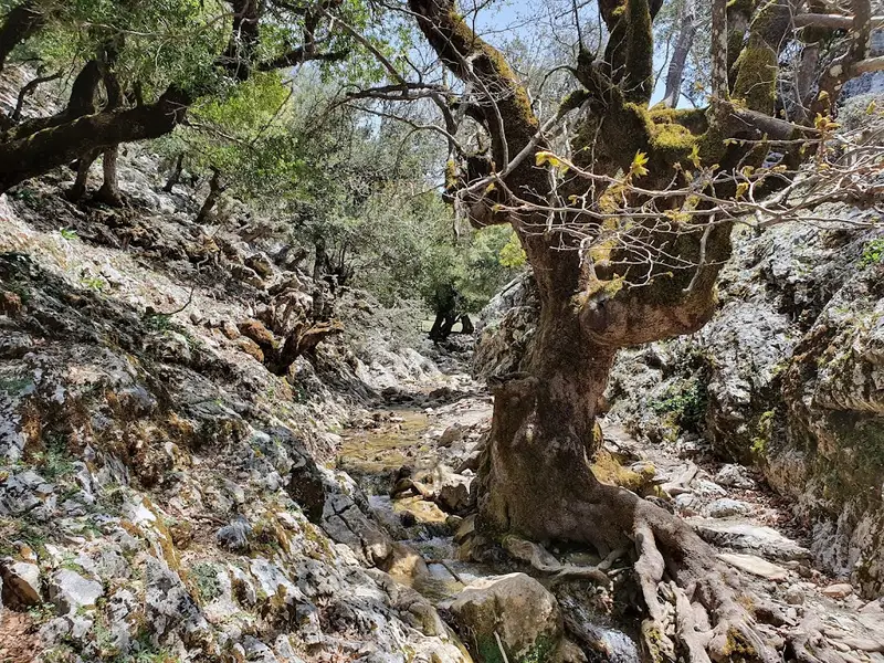
The Rouvas forest, located in the Saint Nicholas gorge, is a nationally significant ecosystem of holly trees. It covers the inner valley of Psiloritis, surrounded by the peaks of Ambelakia, Samari, Chalazokefala, Skinakas, Koudouni, and Giristi. The area’s trees are ancient, with some trunks exceeding 1 meter in diameter and reaching heights of 15 meters. They grow densely, forming a unique forest society, supplemented by various shrub species.
The forest houses other typical Cretan flora, such as aria, zelkova, cypress, pine, plane, and pear trees, covering approximately 30,000 acres. The uniqueness of the Rouvas forest lies in the holly trees’ unusual size and characteristics compared to their typical Greek counterparts. This is likely due to the absence of external factors that allowed these shrubby oaks to evolve into their current form. Around the forest, one can spot scattered “mitata” (shepherd houses), most of which are now abandoned.
Recommended hiking routes include Zaros Lake to Saint John (a 2.5-hour return trip) and Psakofarago to Agios Ioannis to Lake Zaros (a 5-hour trip). The first route starts from Zaros Lake, leading to the St Nicholas monastery before entering the Rouvas gorge. The trail then ascends through the old burned forest, offering stunning views of the Zaros and Messara planes, before entering a narrow gorge filled with dense vegetation. The path follows the river bed, abundant with water in spring, leading to the heart of the forest, the Agios Ioannis area.
The second route begins north of Agios Ioannis at the Psakofarago gorge, the upper extension of the Rouvas gorge. The trail starts from the Holy Cross church and ends at Lake Zaros, passing through Agios Ioannis and the Rouvas gorge. This route requires a transfer to the Holy Cross church and a pick-up from Lake Zaros. Both routes offer the chance to experience the unique beauty of the Rouvas forest and its surroundings.
No results available
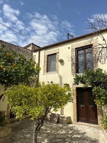
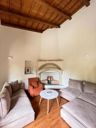
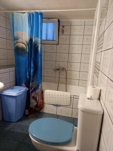
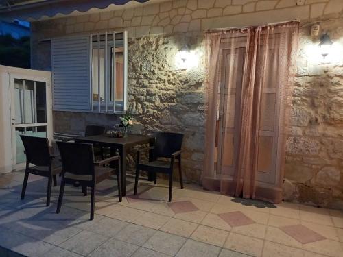
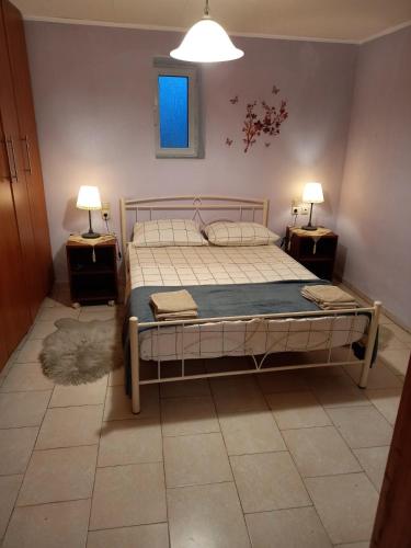
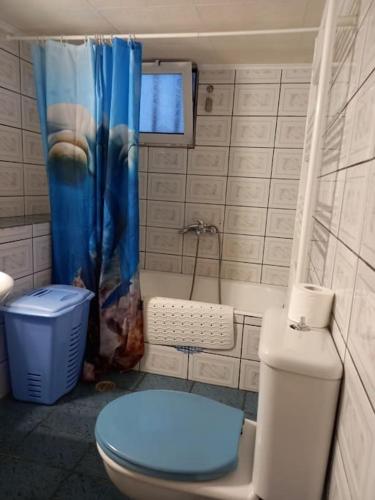
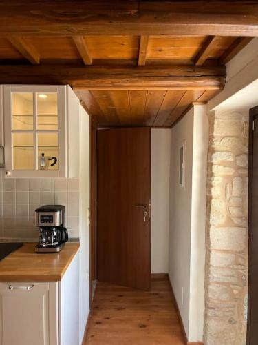
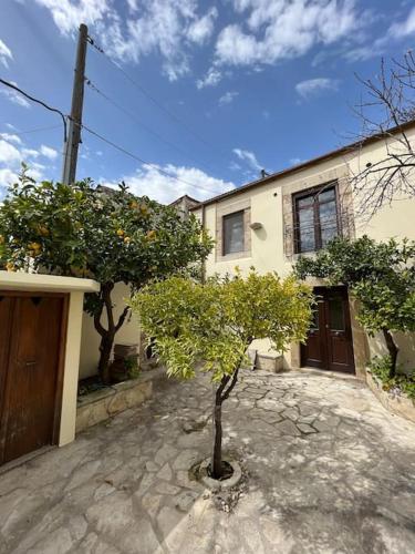
Boasting inner courtyard views, Xenios Dias features accommodation with a balcony and a kettle, around 31 km from Venetian Walls. It has a garden, a shared lounge, garden views and free WiFithroughout the property.
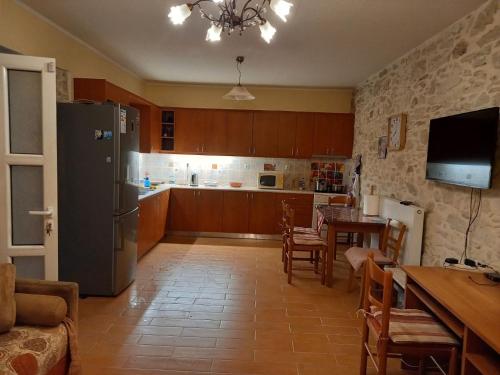
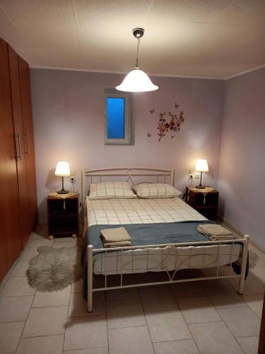
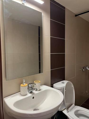
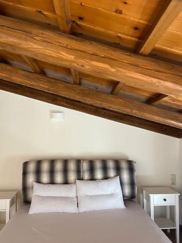
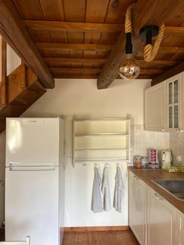
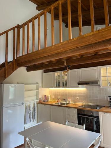
The holiday home features 2 bedrooms, 1 bathroom, bed linen, towels, a flat-screen TV with satellite channels, a dining area, a fully equipped kitchen, and a terrace with mountain views.
The holiday home offers a picnic area. A car rental service is available at Xenios Dias, while hiking and walking tours can be enjoyed nearby.
Heraklion Archaeological Museum is 32 km from the accommodation, while The Palace of Knossos is 35 km from the property. The nearest airport is Heraklion International Airport, 34 km from Xenios Dias.
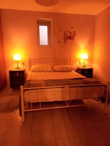
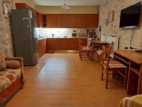
Offering a garden and garden view, Cozy village house in Ano Asites is situated in Áno Asítai, 24 km from Venetian Walls and 25 km from Heraklion Archaeological Museum. This apartment is 22 km from Pankritio Stadium and 23 km from Stadium Theodoros Vardinogiannis.
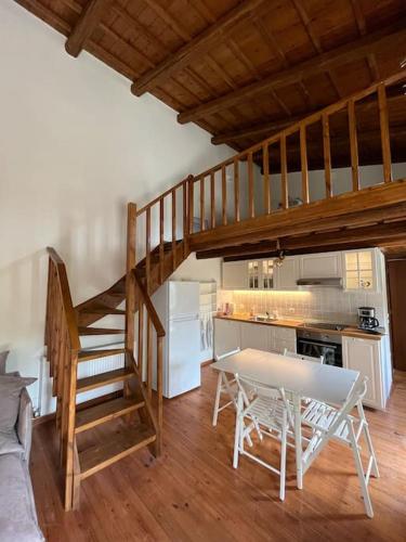
The apartment is composed of 1 separate bedroom, a fully equipped kitchen with a dishwasher and a fridge, and 1 bathroom. Towels and bed linen are available in the apartment.
The Palace of Knossos is 28 km from the apartment, while Cretaquarium Thalassocosmos is 40 km from the property. The nearest airport is Heraklion International Airport, 27 km from Cozy village house in Ano Asites.
from
€63
/night
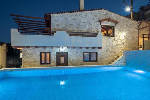
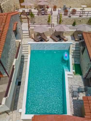
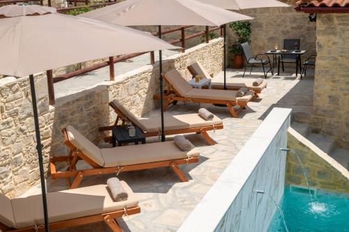
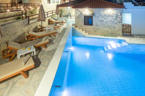
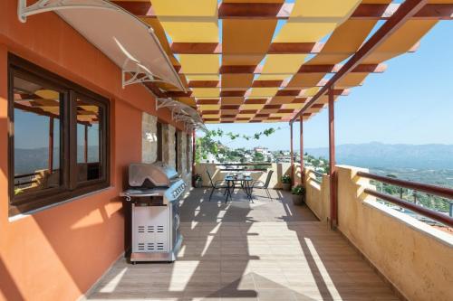
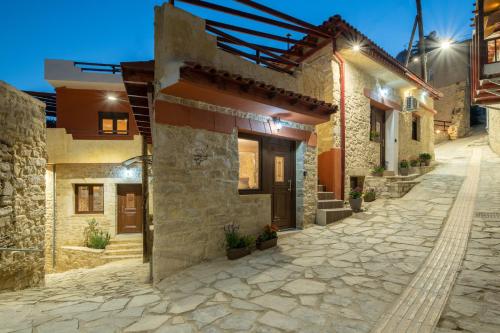
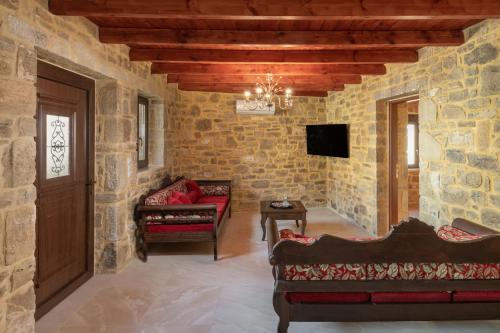
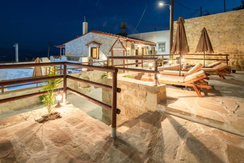
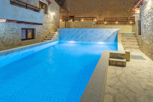
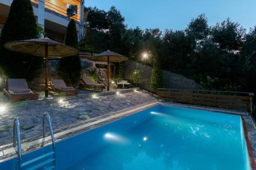
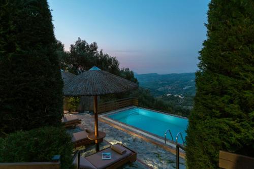
Set 31 km from Venetian Walls, Draganigo Luxury Stone Houses 40 min from Matala offers accommodation with a seasonal outdoor swimming pool, a terrace and free shuttle service for your convenience. Free WiFi is availablethroughout the property.
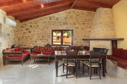
Fitted with a patio, the units offer air conditioning and feature a flat-screen TV and a private bathroom with walk-in shower and a hair dryer. An oven, a microwave and toaster are also featured, as well as a coffee machine and a kettle.
The villa offers a barbecue.
A car rental service is available at Draganigo Luxury Stone Houses 40 min from Matala.
Heraklion Archaeological Museum is 32 km from the accommodation, while The Palace of Knossos is 35 km away. The nearest airport is Heraklion International, 34 km from Draganigo Luxury Stone Houses 40 min from Matala, and the property offers a paid airport shuttle service.
from
€88
/night
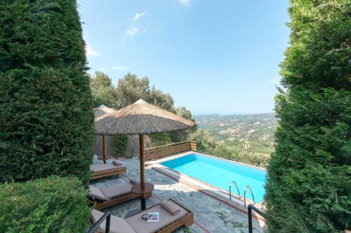
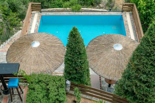
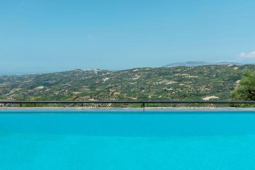
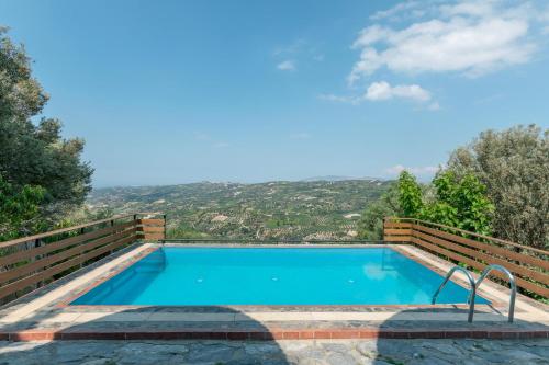
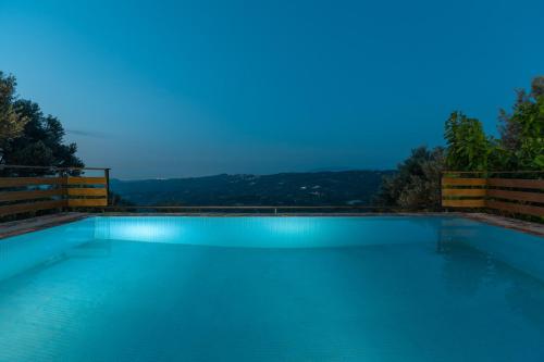
Set in Kato Asites, villa kastelas provides accommodation with an outdoor pool.
The country house offers a barbecue.
Heraklio Town is 20 km from villa kastelas. The nearest airport is Heraklion International Airport, 22 km from the accommodation.
No results available
Connect with thousands of Crete visitors and boost your bookings.
No results available
© All rights reserved. Crete Locals