Find a beach with Pebbles near you
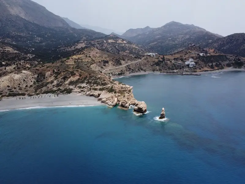
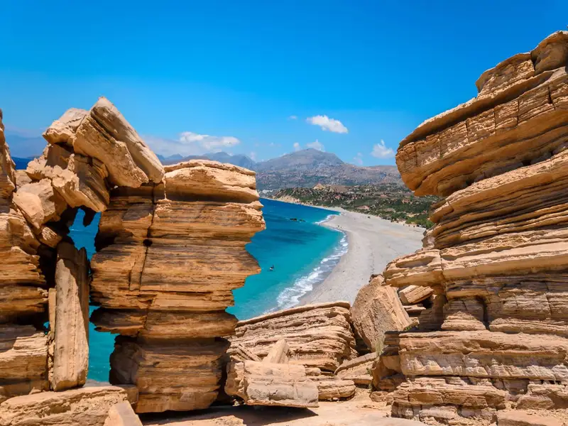
Triopetra beach, nestled at the base of Mount Siderotas and 52km south of Rethymno, can be reached via paved roads leading from either Akoumia or Sachtouria. Part of the extensive Akoumiani Gialia beachfront, Triopetra got its name as a historical winter refuge for the inhabitants of Akoumia, who built small huts near their olive groves. Presently, most land and hotels in the area are owned by descendants of these Akoumia residents.
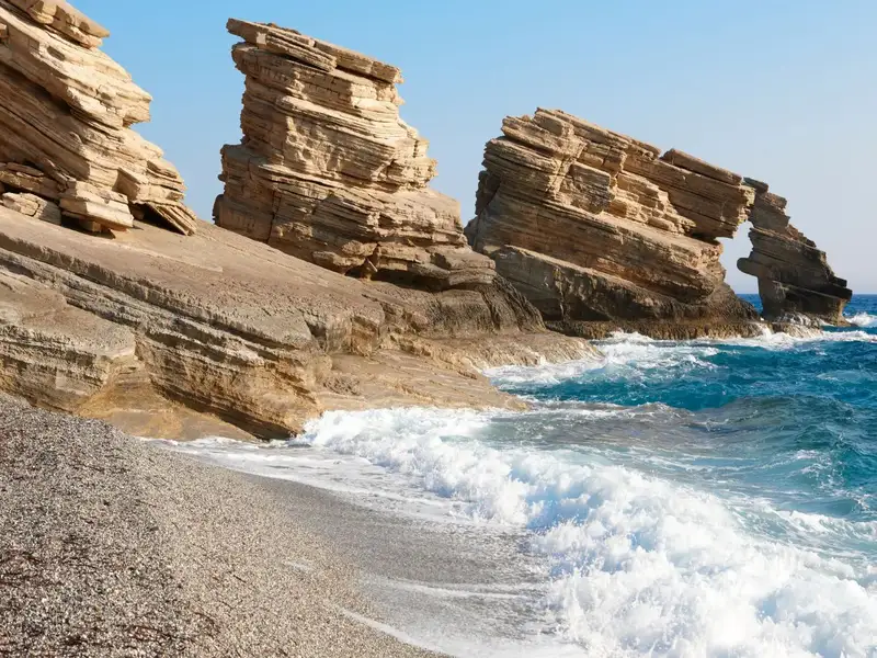
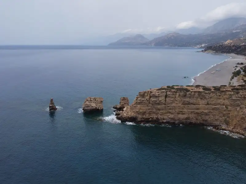
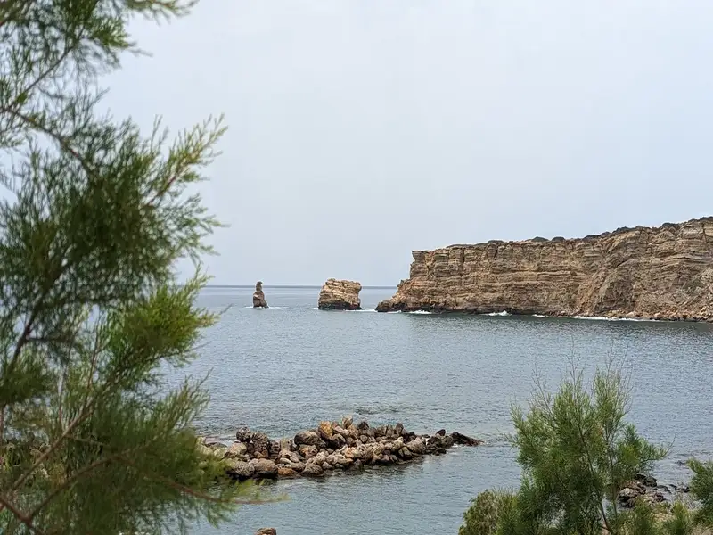
Triopetra boasts two distinct beaches, separated by a petite peninsula. The peninsula’s defining feature is the three spectacular rocks jutting out from the sea, giving Triopetra its name, which translates to “Three Rocks”.
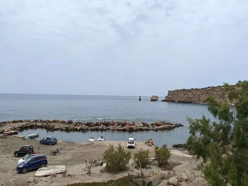
The first beach, Small Triopetra or Koumado, resides in an enclosed bay lined with sand and rock to the south of the three rocks. Here, the Akoumianos river meanders into the sea, forming a natural boundary between Triopetra and the enchanting Agios Pavlos Sandhills at Cape Melissa. Small Triopetra hosts a handful of taverns and rooms, with umbrellas available for sun-seekers. Additionally, the southeast edge of the beach is home to a small harbour, known as Stomio or “mouth”, named after the river’s mouth meeting the sea. Just 1km northeast of the beach, the awe-inspiring chapel of Prophet Elias stands on a high hill, commanding an impressive view over Akoumiani Gialia.
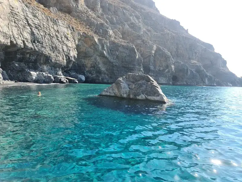

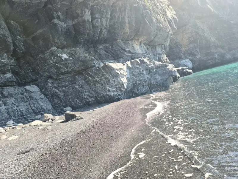
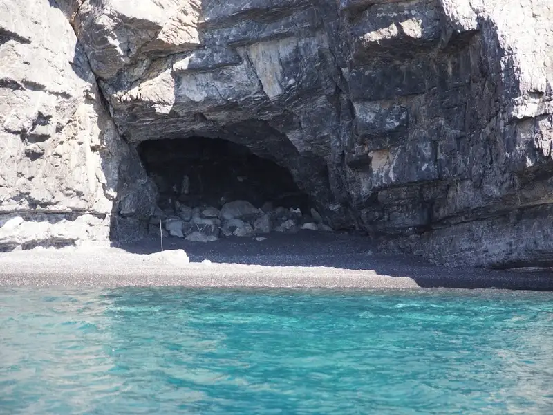
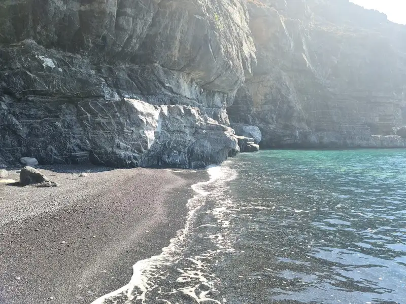
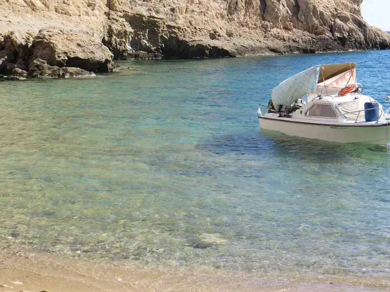
The stunning Aspes beach, with its dark sand, is nestled approximately 58km south of Heraklion, in one of the most remote and hard-to-reach areas of the Asteroussia Mountains. This beach lies 4km to the east of the Tris Ekklisies settlement. Aspes is known for its almost vertical cliffs surrounding it, adorned with spectacular caves that appear as if carved by hand due to their orthogonal sides. The vibrant turquoise hues of the sea make it one of the most picturesque beaches in Crete, and perhaps the most beautiful in the Heraklion region. The beach offers fantastic opportunities for swimming and fishing.
Reaching the beach by foot is not possible, so it’s only accessible by boat. The closest harbours are in Treis Ekklisies or Tsoutsouras. The beach, due to its secluded location, provides a tranquil atmosphere, waiting to greet the fortunate boat owners. Boats are typically moored high on the beach’s rocks, their ropes creating an interesting grid-like pattern. If you visit Aspes, it’s recommended to bring a spoon to collect salt from the natural salt pans formed on the rocks at the beach’s edge. Additionally, don’t miss the towering rocks at the beach’s western end, reminiscent of scattered Obelix’s menhirs!
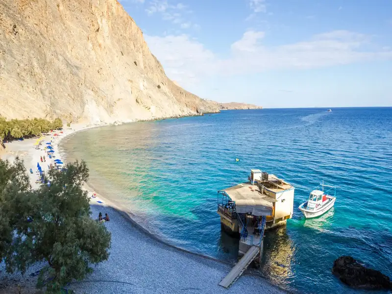


Glyka Nera, translated as “sweet water” ranks as one of Crete’s most picturesque beaches, adorned with captivating deep blue waters and charming pebbles. In 2003, it earned a place amongst the top 20 European beaches by the London Times. Positioned 43km west of Chora Sfakion and 75km south of Chania, its unique name stems from the freshwater springs that bubble up amongst its pebbles.
Typically, Glyka Nera is most readily accessible via boat. However, for thrill-seekers, two hiking paths offer an alternate route: a 30-minute journey from the closest parking spot near Iligas beach, and an hour-long trek from Loutro. Despite the trails bordering steep edges, safety is ensured by regular maintenance from local authorities, given the paths are part of the renowned E4 European footpath.
A quaint tavern perched on a rock offers food, refreshing drinks, and loungers. You need not carry water as the spring water is drinkable. Interestingly, even in the peak of summer, the sea remains refreshingly cool due to these springs. Tamarisk trees generously provide shade along the beach. If given the chance, a visit to Glyka Nera is a must.
The picturesque Domata beach, positioned 7km east of Sougia and 58km south of Chania city, resides at Tseses. This beach marks the end of the Klados gorge, a wild and rugged landscape. Its unique natural beauty is a result of the erosive power of water. The name Domata, translating to “roofs”, is derived from the layered structure of the surrounding conglomerate rocks, reminiscent of enormous walls. The beach owes its creation to the large amounts of pebbles and dirt deposited by the gorge, and the continuous oscillation of the sea and air.
The beach is striking, with its fine pebbles and transparent blue waters. By digging in the sand, you can discover fresh water from subterranean springs. As anticipated, the area is devoid of roads and infrastructure. However, the abundant pine trees near the beach provide natural shade and ideal camping spots. The southernmost section of the beach, separated from the main beach of Domata by rocks, is known as Kolotrividis, named after the adjacent cape.
You can reach Domata via the E4 European trail, which heads east and guides you to Agia Roumeli (a 3 -4 hour walk). Be cautious though, as the trail ascends to an altitude of 700m, with some sections being steep and potentially hazardous.
Kaminaki Beach, a secluded pebbly beach ideal for fishing, is situated 58km south of Heraklion, on the southeastern fringes of the Asterousia Mountains. The rugged mountains surrounding the beach create a quintessentially Cretan landscape, featuring hard-to-reach gorges, bare rocks, steep cliffs, and isolated beaches mostly reachable by boat. The beach lies at the end of the wild Perivoliano Gorge, also known as Gerontzou.
Access to Kaminaki Beach is primarily via sea, given the difficulty in descending the gorge and the beach’s distance from the nearest road. The closest harbour can be found 3km west in Treis Ekklisies. A smaller beach located 400m west in the Agio Pnevma area is not as aesthetically appealing as Kaminaki.
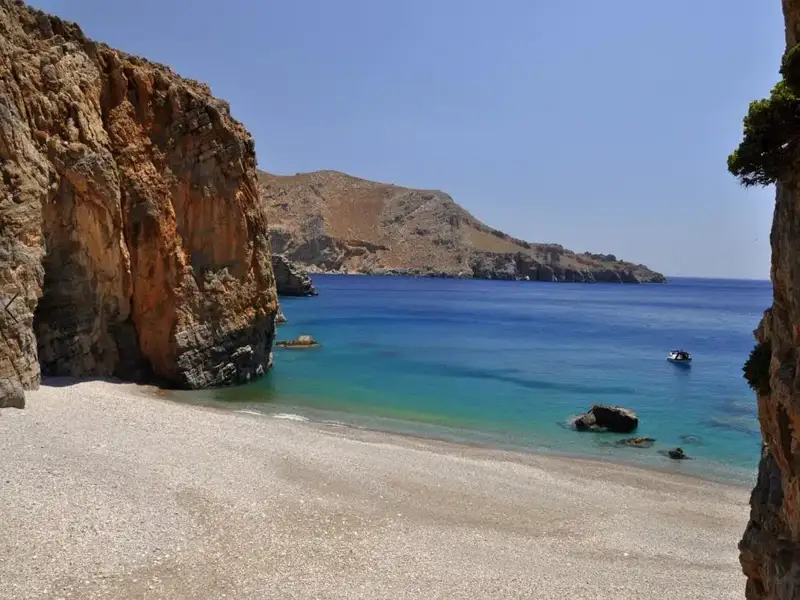
On the opposite side, a striking beach with turquoise waters and a unique Δ-shaped sea cave can be found 700m east of Kaminaki. The beach is nestled in the embrace of Alykevra Bay, at the Sfakidia location, and is well-shielded by Cape Alykapounda. Heading west beyond Alykapounda Cape, you’ll find Alykevra, where a small rocky bay houses a freshwater spring. This spring was historically used by local shepherds to quench their flocks’ thirst. The area of Alykevra features a single beach situated at the mouth of a narrow canyon at the Prikovlyhada location. Despite its small size (1.5m in width), the pebble beach of Prikovlyhada is exceptional, with the canyon walls providing sunshade and nearby caves adding to its charm.
Menies, also known as Diktynna, is situated 45 kilometers northwest of Chania, on the northeastern coast of the Rodopos Peninsula and at the mouth of the Foundas Gorge. This secluded beach is characterized by its pebbles and the deep, crystal blue of its waters. Protected from the prevalent winds in the region, Menies offers a haven of solitude, far from the hustle and bustle of city life. With no signs of modern civilization for miles, visitors are advised to come prepared with all necessities. The journey to Menies beach can be challenging, as it involves a 23-kilometer ride on a dirt track, beginning from the village of Rodopos. This road, though unpaved, leads to the beach but isn’t suitable for low-slung vehicles. An alternative route to Menies is via small boats that depart from Platanias harbor.
Menies sits on the historical site of ancient Diktynna, which was the primary temple of the goddess Vritomartis, the Cretan counterpart of Artemis. This sanctuary used to draw worshippers from all over the island, who would travel via a road that linked the sanctuary to the town of Polirinia. Some sections of this paved road are still intact across the Rodopos peninsula. Vritomartis was worshipped here during the Hellenistic and Roman periods. Today, a few remnants of the ancient Roman temple can still be seen, although no traces of the Hellenistic temple have been discovered.
Roughly one kilometer southwest of the beach, visitors can explore the ancient monastery of St. George, constructed in the 9th century. The monastery was later abandoned during the pirate invasions, but the 16th-century lookout tower used to spot incoming pirate ships can still be seen in the monastery’s courtyard.
Several small bays can be found between Menies and Afrata, formed at the mouths of small streams and accessible either on foot or by boat. The most picturesque of these is Xeronissia, situated beneath the Saint George monastery.
Located roughly 71 km south of Chania city on Crete Island, Loutro is a quaint seaside village at the edge of Cape Mouri. This charming village is steeped in history, once being the site of the ancient city of Phoenix and the port of ancient Anopolis. It later served as a winter port for Chora Sfakion, its naturally formed harbour providing safe anchorage for ships even amidst harsh weather conditions.
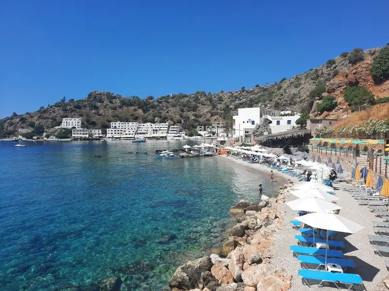
Loutro makes for an excellent base for exploring the neighbouring beaches, accessible by taxi boat, canoe, or on foot. A small ferry can whisk you away to the stunning Glyka Nera beach to the village’s east. Alternatively, you can opt for a canoe ride or a hike along the E4 trail to the secluded pebbly beaches of Timios Stavros and Pervolaki, with your journey continuing to Glyka Nera. If you prefer to stay within Loutro, the village’s own beach and the extended Keramos beach to the east offer a serene retreat, especially during strong southern winds. These well-maintained pebbly beaches boast calm, crystal-clear waters in shades of deep blue and green. Nearby beaches of Likos, Finikas, and Marmara are also within easy reach by boat or on foot.
Loutro is a haven for those seeking a unique experience away from the bustle of mass tourism. This picturesque fishing village in southwest Crete is devoid of large hotels and swimming pools, crowded streets, restaurants, and beaches, and even cars! The only means of access is by boat or a 1.5-2 hour trek from Chora Sfakion. Daily ferry services operate to and from Chora Sfakion, Sougia, Gavdos island, Paleochora, and Agia Roumeli.
Things to do in Loutro
While in Loutro, you can revel in nature’s beauty by exploring the scenic mountain landscape, valleys, and gorges. Start with a visit to the Koules fort situated above Loutro, then head to the small port of Finikas. The village brims with historic sites, including the Old School, which served as the Chancellor of Sfakia’s seat in 1821, and the ancient Church of Panagia nestled next to it. Marvel at the tall Cretan date palm trees and the ruins of the Castella fort, part of the ancient town Phoenix, and the temple of Apollo just south of the village.
For the more adventurous, a climb to the idyllic village and plateau of Anopolis awaits. This entails a two-hour ascent on a 2000-year-old mule track, culminating in a selection of inviting taverns at the top. You can also explore the Aradena gorge or snorkel in the local waters, home to frequent sea turtle visitors.
Loutro, which translates to “bath” in Greek, was named after the baths discovered in the area, their waters once directed towards nearby Anopolis.
Charakas is a region situated approximately 36km to the east of Rethymno and 44km to the west of Heraklion, near Bali. Just half a kilometer east of the Panagia Charakiani Church, a small peninsula forms where the petite beaches of Glaros and Katevati can be found. The major highway that links Heraklion and Rethymno is conveniently close by.
Katevati Beach
Located on the western edge of this peninsula is the small but charming Katevati beach, known for its large pebbles. It boasts spectacular views of the rugged Talean Mountains to the south. Its rocky underbelly makes it an ideal spot for fishing and snorkeling. However, it is unregulated, so visitors are advised to come equipped with necessities such as an umbrella, food, and water. Furthermore, it is shielded from the prevalent northern winds due to its eastern positioning. To the north of the beach, on a hill, there are ruins from an ancient settlement.
Glaros Beach
A short distance to the north of the first beach, accessible via a trail starting north of the highway, are the three beautiful beaches of Glaros (also referred to as Glaria or Peristeri) which face west. The beach gets its name from the small, greenish islet of Glaros that’s separated from the shore by a very narrow canal (less than 2m in width). While the shore is sandy, the seabed is rocky, making it an ideal spot for solitude seekers and snorkeling enthusiasts. The northernmost beach, which can be reached by crossing a hill with a Minoan settlement, is considered the most beautiful.
Charakiani Beach
Situated below the Panagia Charakiani Church is a beach with large, round pebbles that attract snorkelers and spearfishermen. This beach can be easily accessed by following a trail that starts from the church. It is easily identifiable by a small islet located directly opposite the beach.
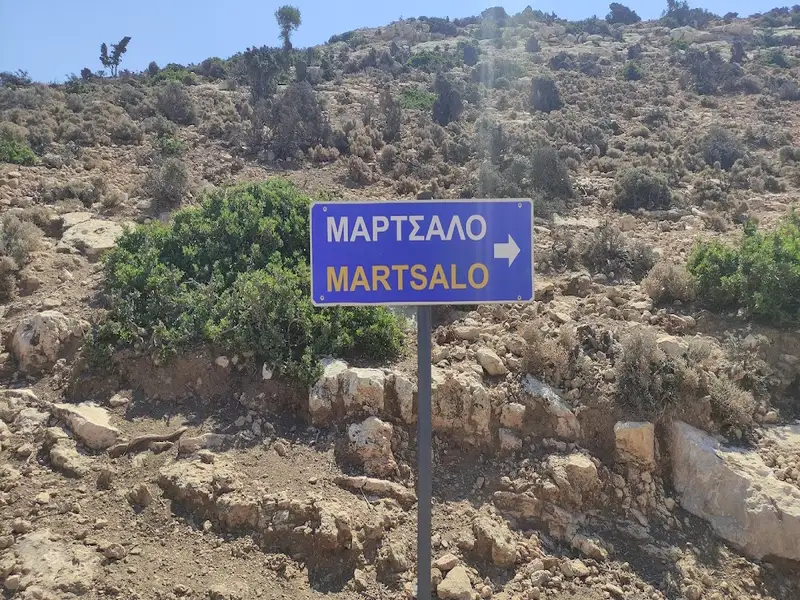
Martsalo, a secluded beach located in the western Asterousia Range, is just a few kilometres from Cape Lithino, the “horn” of Messara Plain, and 80km southwest of Heraklion. To reach this isolated spot, follow the dirt road from Odigitria Monastery to Lithino Cape, bearing right after the monastery. After travelling some distance, a sign indicating Martsalo will appear. Following this rough track will lead you to the entrance of Martsalo Gorge.
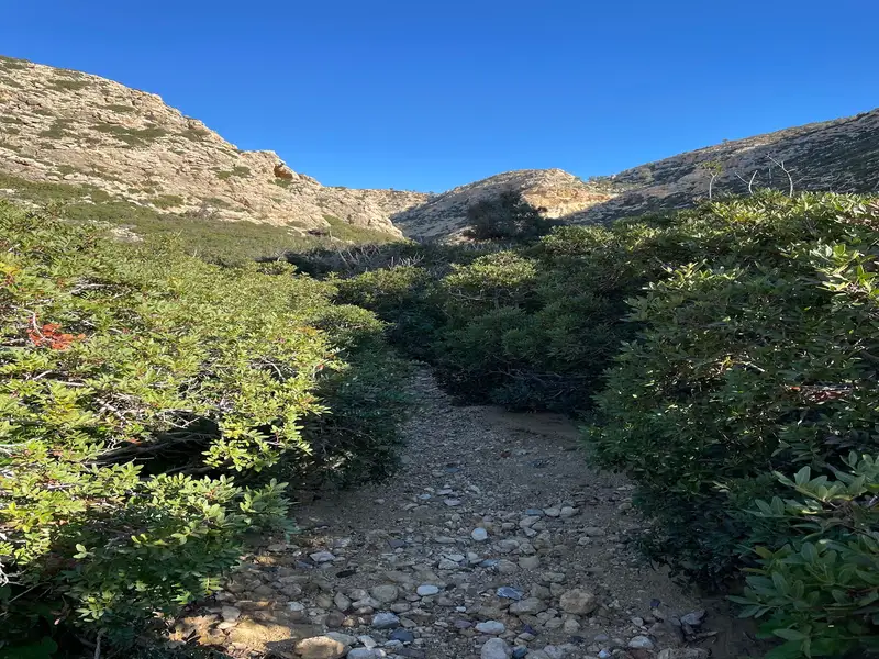
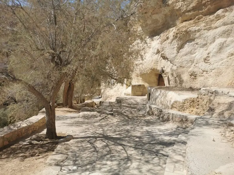
Parking your car at the gorge’s entrance, continue on foot for roughly 2km to the south. The hike through the gorge is not particularly challenging. The gorge, along with others in the area (like Agiofarago), has served as a hermitage for the Odigitria monastery, giving it significant religious importance. Remnants of the cells where monks once lived can still be observed in the gorge.
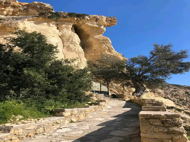
At the start of your journey, you’ll discover the beautiful church of Panagia Martsaliani, dedicated to the Annunciation. This church, constructed within a cave, served as a catacomb during the Christian persecutions. Centuries later, it was rediscovered by a shepherd. An icon of the Annunciation uncovered at that time is now preserved in the Odigitria Monastery. On August 15, when the Church celebrates, numerous visitors travel from the Mesara Plain to Martsalo.
As you continue down the gorge, you’ll pass between the indigenous Phoenix Theophrasti palm trees. Martsalo is home to one of the largest colonies of this species in Crete, and the largest in the Heraklion prefecture. In the gorge’s center, a stone container collects water from a nearby spring, and around it, the hermits cultivate their necessities.
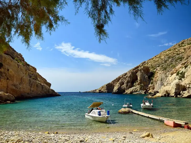
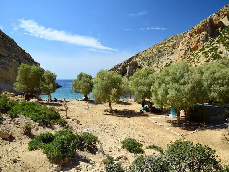
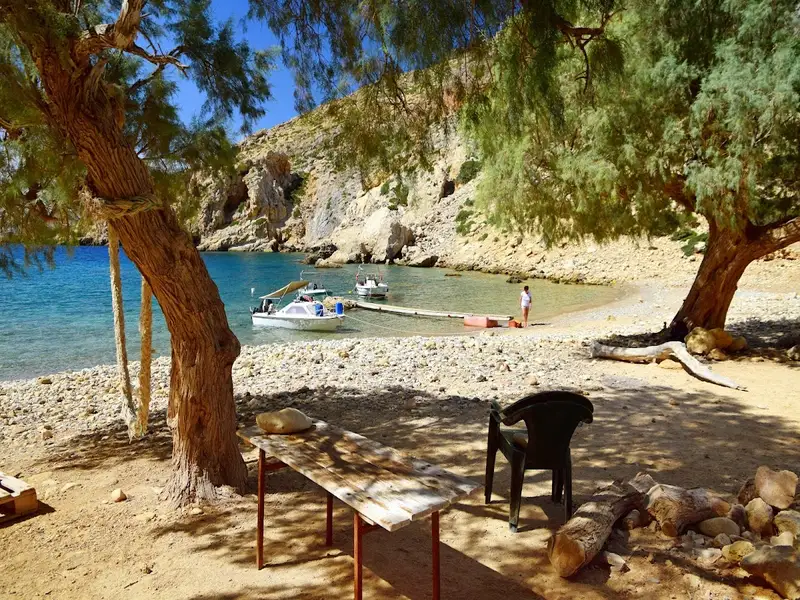
A 15-20 minute walk through the palm trees will lead you to the beach at the mouth of Martsalo. This isolated beach with its large pebbles and calm waters (Martsalo translates to Good Harbor in Latin) is an ideal spot for solitude. A simple pier serves boats coming from Kali Limenes or Matala, and surrounding tamarisk trees provide natural shade. As a religious site, it’s important to respect the hermits and refrain from activities such as nudism.
Traces of a harbour hamlet from 1800-1600BC suggest the beach has served as a port since the Minoan period. The Apostle Paul also reportedly stopped at Martsalo to preach Christianity during his journey to Rome.
Cape Lithino, the southernmost point of Crete and the “corner” of Messara plain, is home to the dry Kefali peak. From here, cliffs plunge 391m into the sea. The view is breathtaking. To reach Kefali, follow the 13km long rough dirt road starting from Odigitria Monastery and heading west. On Kefali, you’ll find the ruins of a German military establishment from World War 2 and a small stone church dedicated to the Holy Cross.
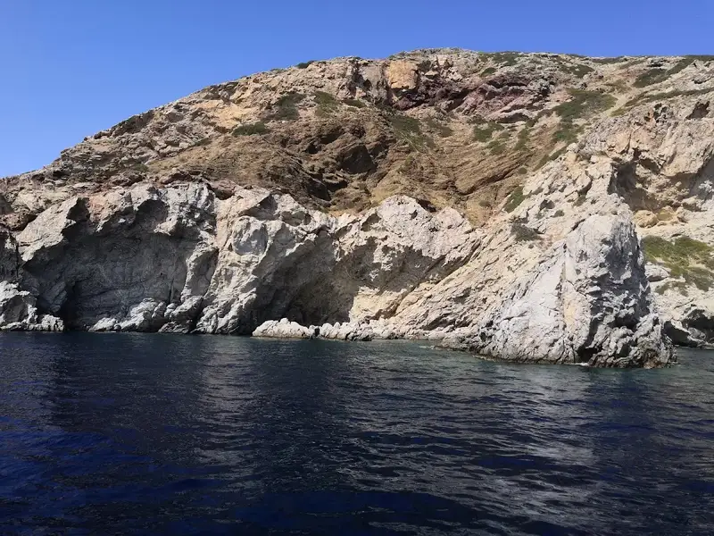
Locals may tell you there are no beaches between Martsalo and Vathi, but this isn’t true. Below Kefali is a small cape called Platys Poros or Trahili, home to two bays with deep blue water and coarse pebbles, known as “Maragou Limani” or “Carpenter’s Harbor”. These southernmost beaches of Crete are only accessible by boat, and the surrounding coast is riddled with caves worth exploring.
Just west of Martsalo beach and 600m east of Poros is the small beach of Kounenos, accessible via a footpath near Martsalo. The surrounding landscape, filled with caves, cliffs, and unique rock formations, makes this an ideal spot for nature lovers. The beach features small pebbles and deep waters.
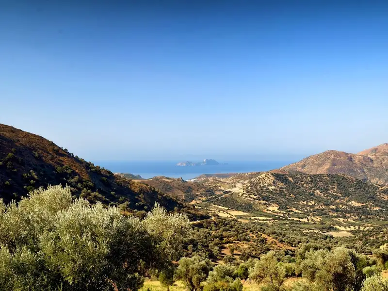
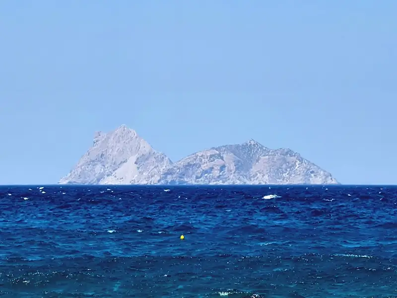
The Paximadia Islands are twin uninhabited islets located off the Gulf of Messara, situated approximately 12km south of Agia Galini. At a distance, they appear as one due to their proximity, but on closer inspection, they are separated by a slender channel known as Bogazi. The locals often refer to these islands as the “Elephant” due to their resemblance to a reclining elephant when viewed from the Messara plane. The collective length of these islets is roughly 3km.
Contrary to common belief, the Paximadia Islands are not merely large barren rocks in the sea, but they also harbor beaches. The smaller of the two islands, the East Paximada, boasts four exquisite tiny beaches with clear waters and picturesque pebbles. These islands are accessible via tour boats departing from Kokkinos Pirgos and Agia Galini.
The West Paximadi, though lesser-known, possesses its own unique charm. It houses a beautiful beach named Varkaki. Starting from Varkaki, the western edge of the island stretches out to the cape of Sakouleva. Sakouleva is a striking spot, often wavy and adorned with a plethora of vibrant colors due to the presence of various rock types on Paximadia. The entire Big Paximadi is a wild landscape with steep cliffs culminating in a pyramid peak, with Sakouleva being the most awe-inspiring spot. A boat ride allows you to reach the edge of Sakouleva and its imposing rock formation. The view extends to the cave of Tzigounas, the largest among the numerous caves on Paximadia.
Historically, these minor islands were under the rule of Phaestos, a powerful and affluent city. They were then known as the Islets of Dionysoi, named after Dionysos, the god of wine. Local lore suggests that the goddess Artemis and nymph Vritomartis hunted here frequently. They were also called Litoai or Letoae, after the goddess Lito, mother of Apollo and Artemis, who was worshipped in Phaestos. One legend even implies that Lito gave birth to Apollo and Artemis on these islands. Presently, they are known as Paximadia, as their form resembles Paximadia, a traditional dry bread named after the Hellenistic cook, Paximus.
No results available
© All rights reserved. Crete Locals