Gorges to hike and walk near Síva, in Heraklion region

List of Gorges near Síva

  • 1.7 km
  • Venerato Gorge
  • 5 km
  • 0.5 h
  • Hiking

The Venerato canyon, a hidden gem, is nestled 17km south of Heraklion, adjacent to the Venerato village and Paliani Monastery. Despite its modest length of 500m, the deepest part of the gorge leaves a lasting impression on its visitors, despite the visible impact of human activities.

The journey begins in Avgeniki village and concludes at the Agios Fanourios church in Venerato, nestled beneath a towering cliff. A brief stroll through the canyon from Agios Fanourios can be paired with a quick exploration of Venerato village. This charming village, once home to Venetian nobles, was often referred to as “Little Venice” due to its picturesque landscape.

The Apollonas river, which maintains its flow throughout the year, meanders through the gorge, carrying water from Agia Varvara to the Giofyros river. The river’s name, Apollonas, is derived from the ancient town of Apollonia, which once stood here. Some remnants of this town still exist near the gorge. As one ventures further into the gorge, the vegetation and platan trees flourish, harmoniously blending with an ancient watermill. The gorge narrows down to a width of 60cm, with the walls towering up to 25 meters.

Moving ahead, the Gra Spiliara (Old Cave), a haven for wild pigeons, emerges. The cave and the canyon served as a sanctuary during the Turkish Era and the German Occupation of Crete. Some parts of the gorge require wading through water or climbing over rocks. It is advisable for those descending the gorge to wear a helmet to protect against potential falling stones caused by the goats that inhabit the canyon’s edges.

After walking another 80m, you’ll reach the Kouroupi area. Here, the canyon walls almost converge, creating several small waterfalls. There’s a narrow, 20-meter long crevice in the rock that ends in a 7-meter high cliff and a deep pond. This marks the end of the walkable part of the gorge.

Until the 1950s, locals sourced their drinking water from this river, used it for irrigation, and it was home to a variety of wildlife including turtles, eels, and crabs. Sadly, pollution and domestic sewage have significantly degraded the ecosystem. This beautiful location deserves a better fate, and we can only hope it attains it.

  • 2.5 km
  • Agios Antonios Gorge, Asites
  • 3 km
  • 1 h
  • E4 trail

To the west of Ano Asites village, the river that initially forms the Saint Haralabos gorge, and later flows through the village, ultimately transforms into a breathtakingly deep and dramatic gorge, known as the St. Anthony gorge. The descent trail leading to the canyon bed can be found near the scenic Byzantine church of St. Anthony, which also hosts a drinking water spring.

The canyon is teeming with lush vegetation, including towering plane trees and various other plant species. The trail within the canyon forms part of the European E4 hiking route. This trail concludes at the exit of the gorge in the village of Kerasia, close to the Faneromeni church. Regrettably, the riverbed is littered with trash from Asites.

  • 5.5 km
  • Agios Charalambos Gorge
  • 1 km
  • 0.5 h
  • Hiking

Saint Charalambos Gorge, a picturesque but petite canyon, is situated to the south of Ano Asites village. The gorge is named after the Saint Charalambos church that was constructed near its entrance beneath a rock. Up until mid-spring, the gorge is filled with water, compelling trekkers to walk along its walls to bypass the riverbed. The stream of the gorge carries water from the valley situated east of Prinias village to Agios Antonios gorge, eventually forming the Xeropotamos river that concludes at the Pancretan Stadium beach in Heraklion.

Our journey begins from the Agios Charalambos chapel nestled in a large rock shelter. We then make our descent along the river, where lovely ponds are formed. As we look upward, the grand walls with their vast caves become visible. The exit of the gorge has incredibly narrow passages which require us to traverse along a trail during winter. However, in the summer, it’s possible to walk on the riverbed, but caution is advised to prevent any ankle injuries.

  • 13.0 km
  • Rouvas Gorge (Gafaris)
  • 6 km
  • 2.5 h
  • E4 trail

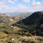
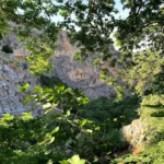
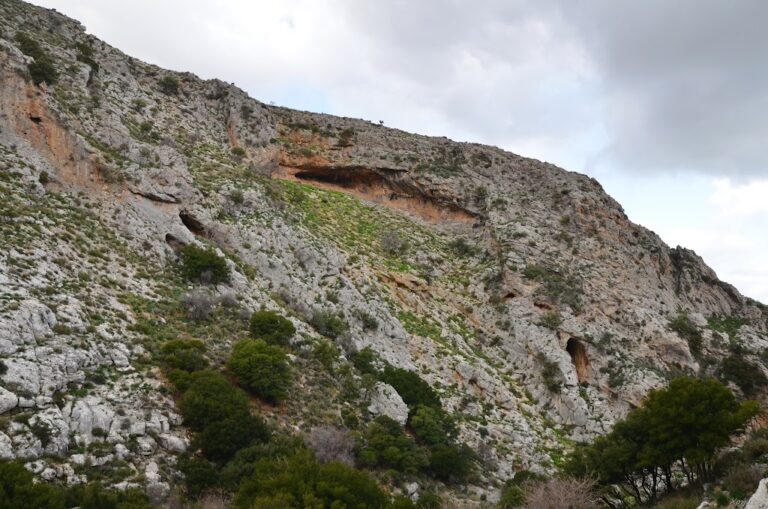
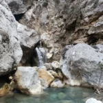
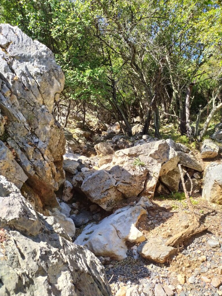
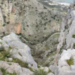
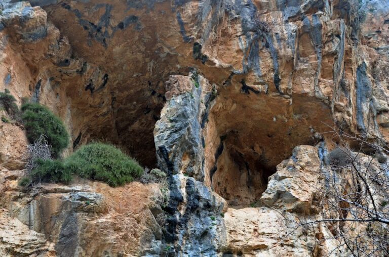
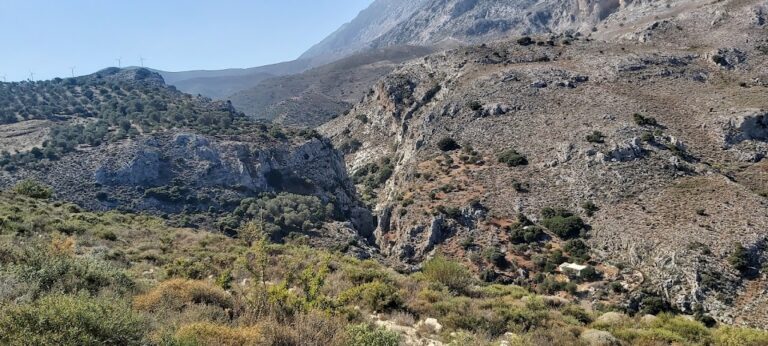
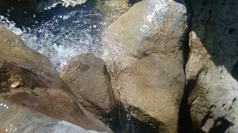
The Agios Nikolaos, Gafaris or Rouvas gorge is nestled between the Ambelakia and Samari peaks. This gorge, the most significant in Psiloritis and central Crete, is named after the St Nicholas monastery located near its exit at Zaros. This area is an ecosystem teeming with diverse flora and fauna, smaller canyons, and striking geological formations and cliffs. It spans 4 km, with 2.7 km developed by the Forest Service for activities like hiking, mountaineering, rock climbing, and wildlife observation. However, a fire in 1994 significantly damaged the beautiful Rouvas forest near the gorge’s south entrance.

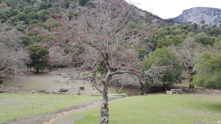
The Rouvas forest, located in the Saint Nicholas gorge, is a nationally significant ecosystem of holly trees. It covers the inner valley of Psiloritis, surrounded by the peaks of Ambelakia, Samari, Chalazokefala, Skinakas, Koudouni, and Giristi. The area’s trees are ancient, with some trunks exceeding 1 meter in diameter and reaching heights of 15 meters. They grow densely, forming a unique forest society, supplemented by various shrub species.

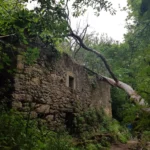
The forest houses other typical Cretan flora, such as aria, zelkova, cypress, pine, plane, and pear trees, covering approximately 30,000 acres. The uniqueness of the Rouvas forest lies in the holly trees’ unusual size and characteristics compared to their typical Greek counterparts. This is likely due to the absence of external factors that allowed these shrubby oaks to evolve into their current form. Around the forest, one can spot scattered “mitata” (shepherd houses), most of which are now abandoned.

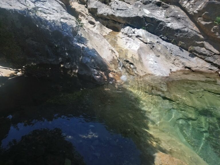
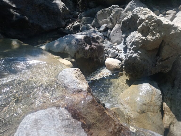
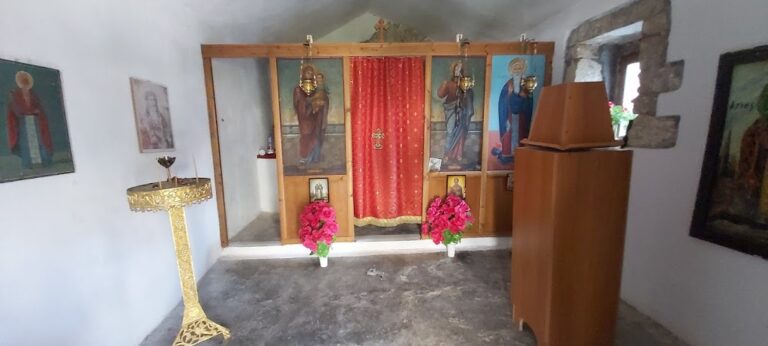
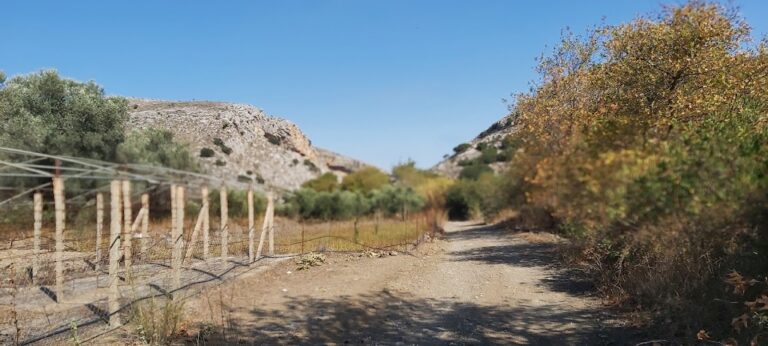
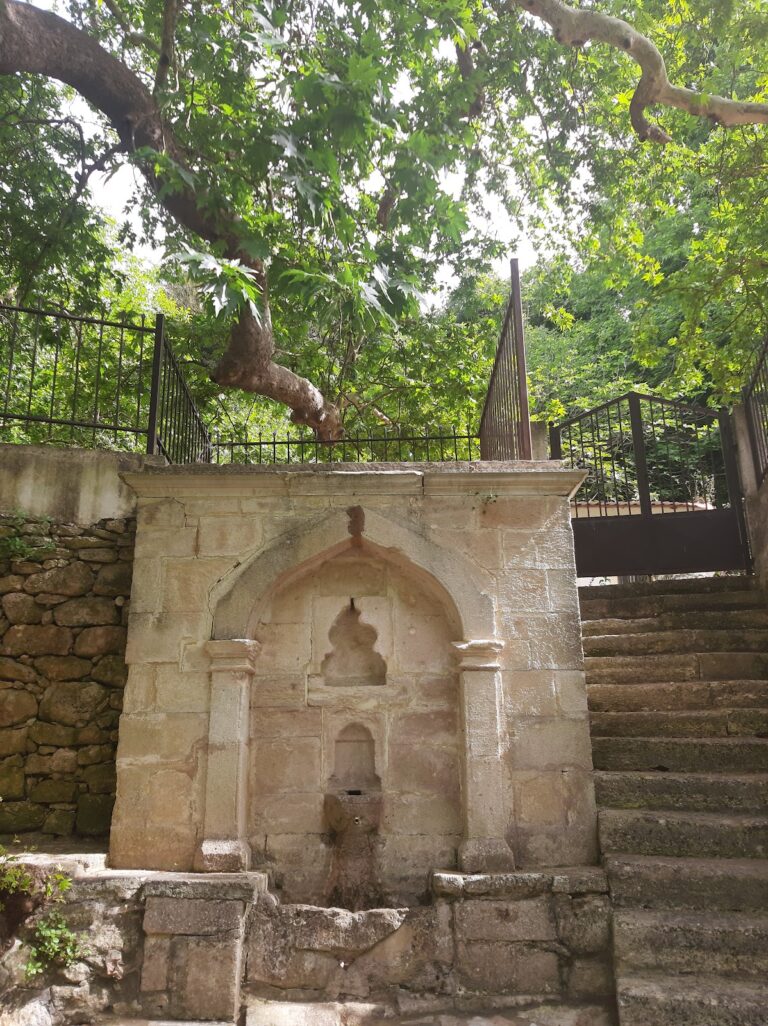
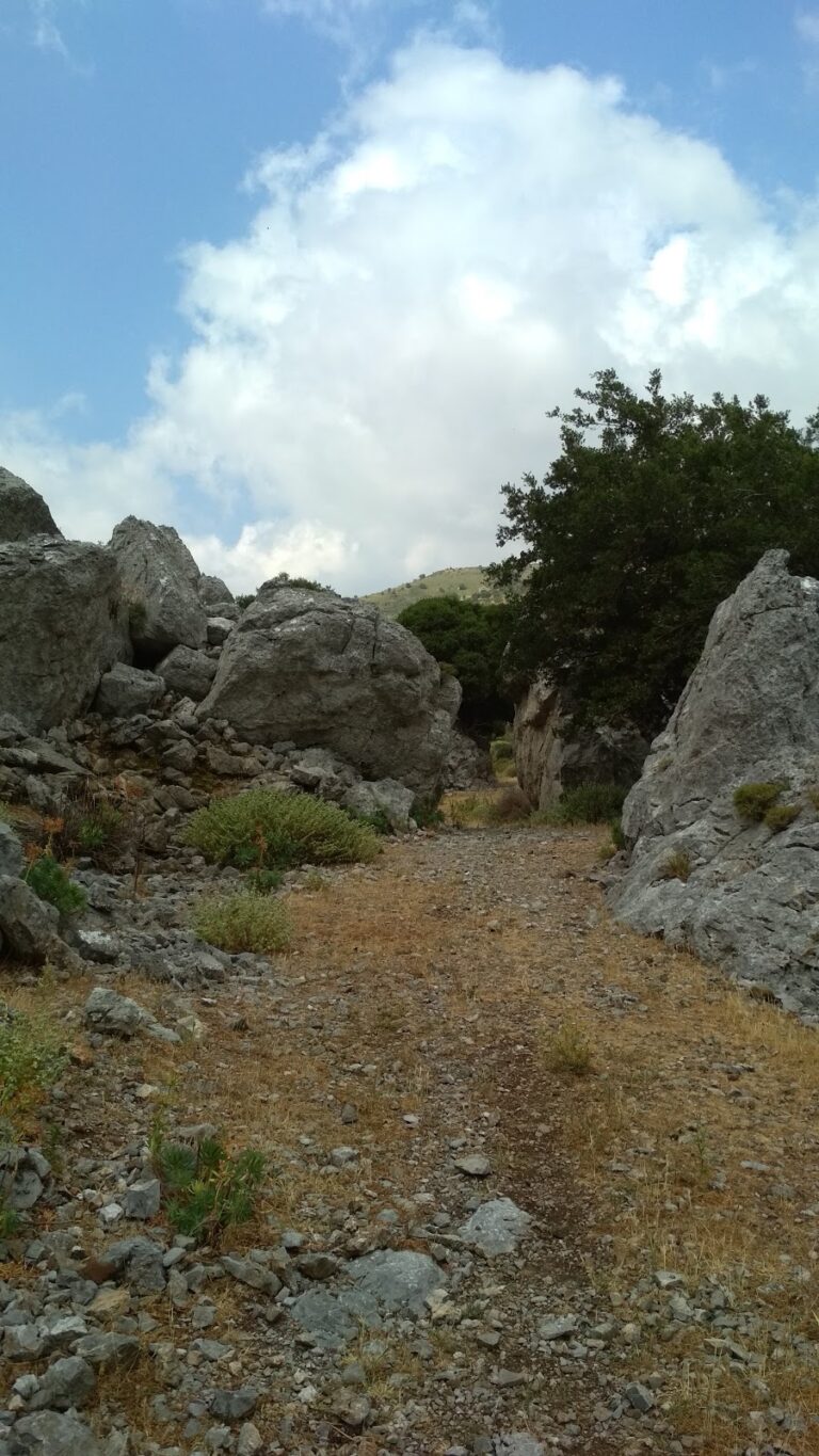
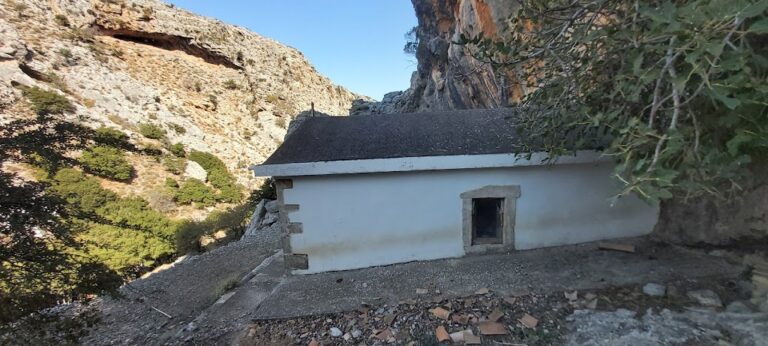
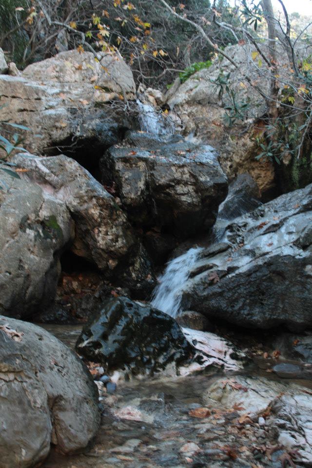
Recommended hiking routes include Zaros Lake to Saint John (a 2.5-hour return trip) and Psakofarago to Agios Ioannis to Lake Zaros (a 5-hour trip). The first route starts from Zaros Lake, leading to the St Nicholas monastery before entering the Rouvas gorge. The trail then ascends through the old burned forest, offering stunning views of the Zaros and Messara planes, before entering a narrow gorge filled with dense vegetation. The path follows the river bed, abundant with water in spring, leading to the heart of the forest, the Agios Ioannis area.

The second route begins north of Agios Ioannis at the Psakofarago gorge, the upper extension of the Rouvas gorge. The trail starts from the Holy Cross church and ends at Lake Zaros, passing through Agios Ioannis and the Rouvas gorge. This route requires a transfer to the Holy Cross church and a pick-up from Lake Zaros. Both routes offer the chance to experience the unique beauty of the Rouvas forest and its surroundings.

  • 13.3 km
  • Spiliotissa Gorge
  • 1 km
  • 0.5 h
  • Hiking

The Spiliotissa gorge, situated approximately 24km to the south of Heraklion, is a verdant chasm that originates from the Houdetsi village, passes through Agios Vasilios, and terminates in the Peza valley, where its waters feed into the Kounaviano gorge. The most picturesque section of the gorge is the 1.5km stretch between Houdetsi and Agios Vasilios. Starting from Houdetsi, where parking is available in the village, a well-kept trail leads down to Agios Vasilios, meandering through dense foliage and groves of orange and olive trees, irrigated by the stream.

At the beginning of the path, two Byzantine churches, Saint John the Baptist and Saint Nicholas, are encountered, along with two former grain mills. After approximately 500m, the historic Sinai Monastery of Panagia Spiliotissa can be found, which lends its name to the gorge. A quick exploration of the small monastery with its cave-like church is followed by a continued journey into the verdant heart of the canyon, towards Agios Vasilios. A beautiful fountain and the Byzantine church of Saint John are located just outside the monastery.

  • 14.0 km
  • Almiros Gorge
  • 3 km
  • 1.5 h
  • Hiking

Almyros Gorge, situated in Ellinoperamata, is the closest canyon to the west of Heraklion city. The gorge, a small oasis near the bustling city, is formed between Keri hills and the post-Minoan town of Kastrokefala. It serves as a crucial habitat, primarily due to the largest holly wood (Phillirea media) in Crete located on its eastern side. Other species like platan trees, carob, and wild olive trees also thrive here despite overgrazing.

The gorge has various names, such as Keri Gorge, named after the adjacent hill, or Almiros, due to its closeness to the Almiros river. It’s also called Ellinoperamata, the area where the gorge terminates. Frequently termed Porofarago, a common name for Cretan gorges, it’s also known as the Three Churches, in honor of the three chapels — Santa Marina, St. Antonios, and St. Paraskevi. Its commencement point near the Strouboulas peak gives it the Strouboulas name, while stories of Satanist assemblies and ghost sightings have resulted in its spooky moniker, the Ghosts’ Gorge.

Despite its proximity to Heraklion, few people have ventured here. Cars can reach the location where the 14th-century monastery of Agios Ioannis Farangitis (Saint John inside the Gorge), dedicated to Saint John the Baptist, was constructed near the canyon exit. The surviving chapel of Saint Marina was used as a cemetery, while the main temple was the present two-aisled chapel of Saint Anthony and Saint Paraskevi with significant frescoes. A little further, a shrine dedicated to Saint George can be found, and after nearly 1:30 hours of walking, the chapel of Lord Christ at the gorge’s starting point is reached.

The trail is lined with various trees, and the vegetation thickens as one ascends. Initially, the gorge is typically dry but transitions into a small stream during spring. While ascending, one can encounter three small waterfalls, which form at a site with a pinkish limestone hue after prolonged, heavy rainfall.

Almiros Gorge is a must-visit for adventure seekers and nature lovers. To reach this wild beauty, navigate towards the equally breathtaking Lake of Almiros. Located just a short distance from the path leading to the gorge, this lake is a wonder in itself. The lake’s crystal-clear water, flowing directly from the spring-fed mountain cliffs, offers an extraordinary view all the way to its bed.

© All rights reserved. Crete Locals