The Rocca, Roka, Rocka, or Rokka Gorge, situated 32km west of Chania in the Kolymbari region, stretches for 2km from the village of Deliana to the village of Roka. The settlement features Trouli hill, which is home to the remnants of a Byzantine fortress.
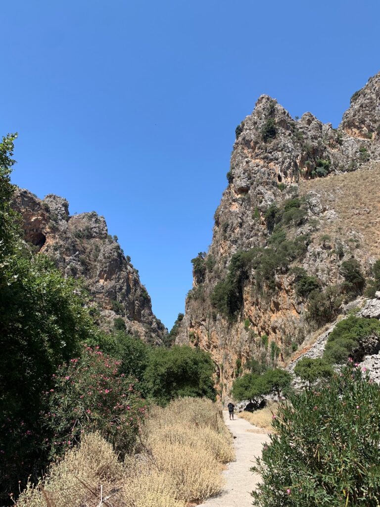
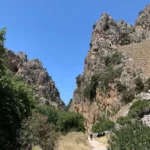
Despite the ease of hiking through the gorge (typically a 2-hour trek), it can be challenging to traverse without getting wet during periods of water flow in the narrower sections. The gorge is adorned with numerous plane trees that provide a cool respite from the sun. The gorge’s vertical sides are incredibly tall and impressive at certain points. The main path follows the dry riverbed during the summer.
Upon exiting Roka gorge, you’ll encounter the Mesonisi settlement. Following a dirt road will lead you to Roka village and Trouli hill. You can climb up to the castle ruins for a breathtaking view of the surrounding areas, or unwind in the local coffee shop.
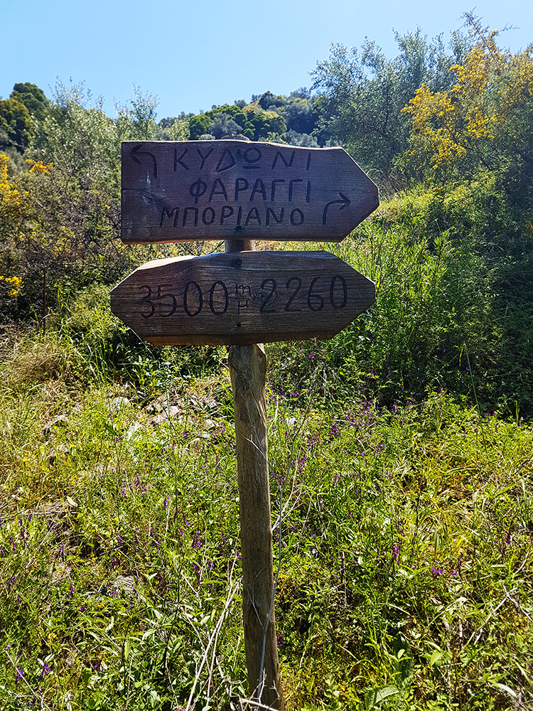
The verdant Boriano canyon, more commonly referred to as Karanou Gorge, begins in the Boriana neighborhood of Karanou village and extends for 1800 meters until it merges with the Mavropiliotis River via an attractively laid out path. The trail features a dilapidated watermill, caves, and the entrances to the old iron ore quarries (locally referred to as the Averof quarries), along with a charcoal furnace and tunnels. The gorge runs parallel to the Kydoni Gorge, and it’s common for hikers to explore both gorges simultaneously.
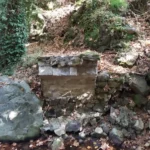
In the mountainous region of Kydonia near Chania, nestled at the base of the White Mountains, you’ll find the picturesque Kydoni gorge. Named after the area, not the Greek word for “quince” which is also kydoni, this gorge is one of the most verdant in Crete, boasting lush vegetation with trees towering over twenty meters high. The journey begins in the village of Karanou, starting at the site of an ancient fountain. A downhill path takes you through a breathtaking centuries-old olive grove, past the church of Saint Demetrius (Agios Dimitrios) with its remnants of old frescoes, and finally to the stream bed. The greenery is abundant throughout the gorge, with sunlight only filtering through in a few places, making it a perfect spot for a cool walk on a hot, sunny day.
The trail that traverses the gorge is one of the most well-marked in Crete, with signs posted every 500 meters indicating the distance. The entire route is 2 km long, ending where the Kydoni stream meets the Platanias river tributary, Mavropiliotis, in the Mavra Pila area. The name Mavra Pila translates to “dark muddy soil” in the Cretan dialect, a fitting description for the blackish soil that turns into black mud when wet.
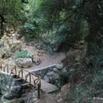
The trail continues from the end of the Kydoni gorge into the Boriano gorge, which runs parallel to Kydoni and originates from the Boriana neighborhood in Karanou. The Kydoni stream is typically dry throughout the year, only filling with water during the heavy rains of winter. Along the route, there are 2-3 small waterfalls, with the tallest one crossed by a charming wooden bridge that leads to a rock shelter adorned with small stalactites. The descent through Kydoni takes about an hour of hiking. Towards the bottom of the gorge, you’ll find two old trails leading to the nearby settlement of Skordalou.


