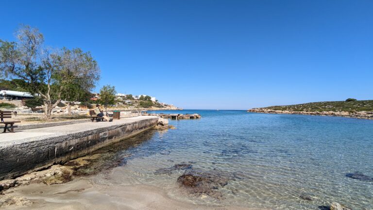
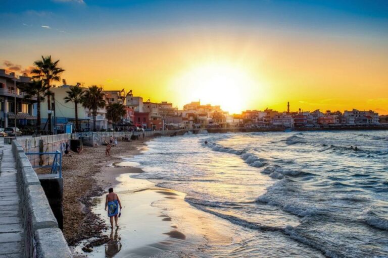
Tersanas is a charming coastal village situated 13km northeast of Chania, tucked away in a small cove on the west side of Cape Akrotiri. While it serves as the harbour for the neighbouring village of Chorafakia, Tersanas is a well-developed area and a popular holiday destination.
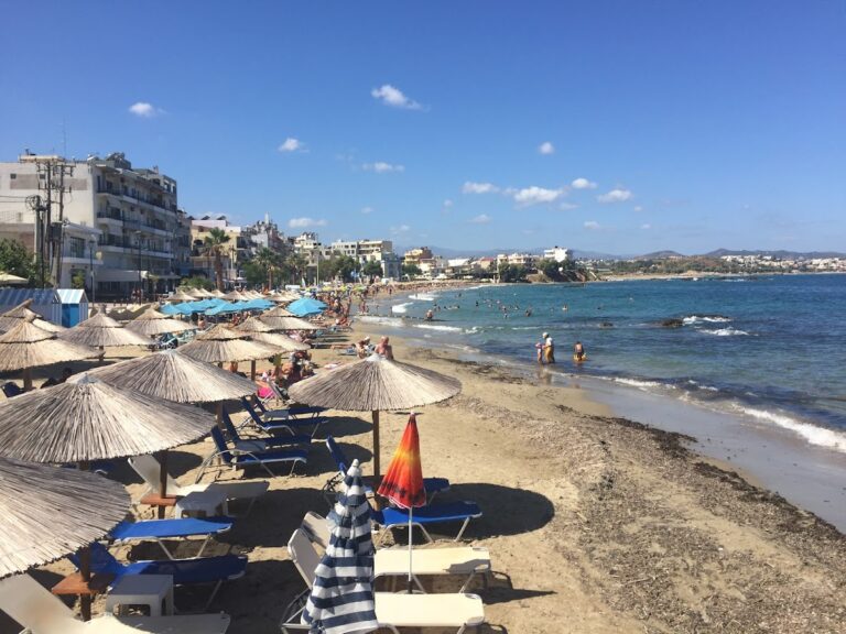
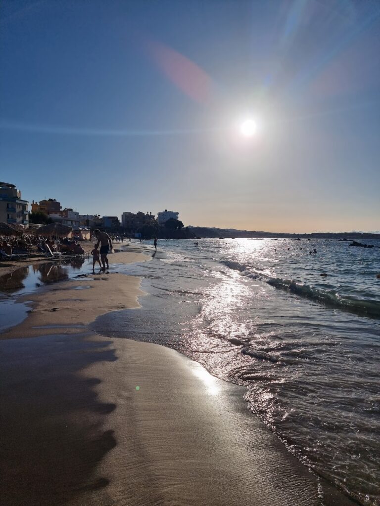
The beach at Tersanas is nestled within a natural harbour that faces southwest. With its white, fine sand and crystal-clear shallow waters, it’s a small beach that can get crowded, especially on weekends. Visitors can take advantage of the available sunbeds, umbrellas, showers, and snack bars. Its calm waters and proximity to tourist facilities make it perfect for families, and there are buses from Chania that stop at Tersanas.
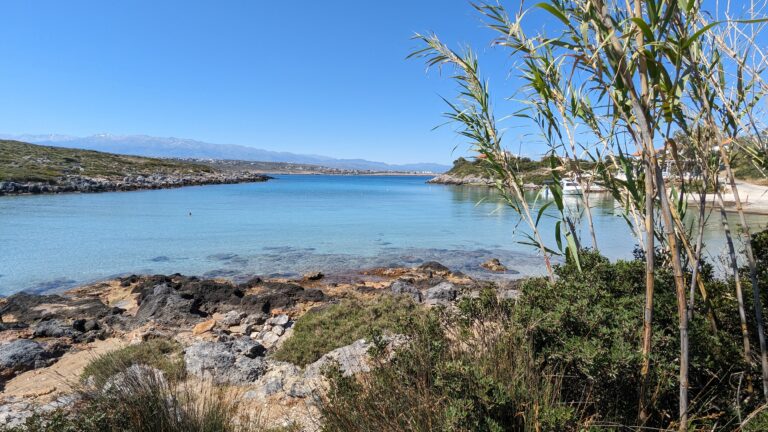
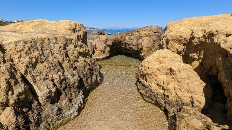
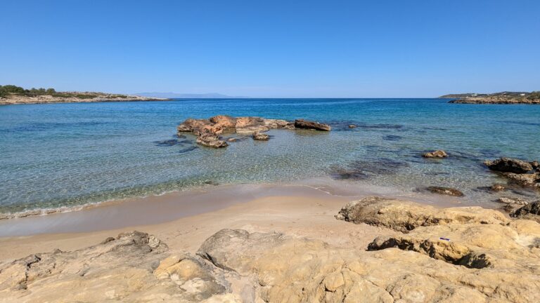
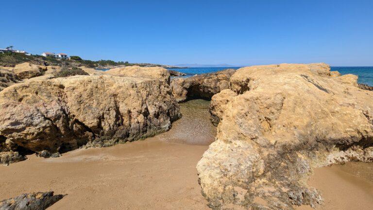
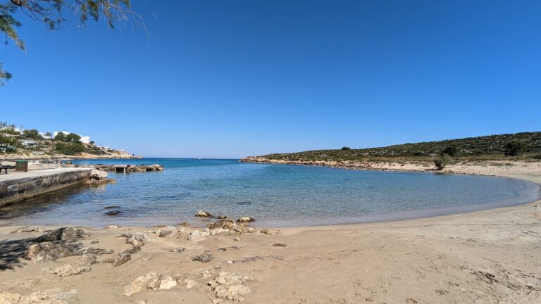
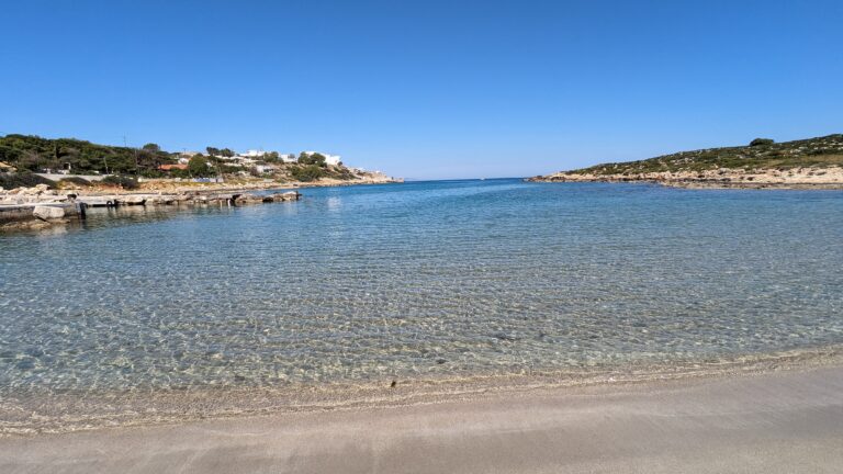
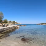
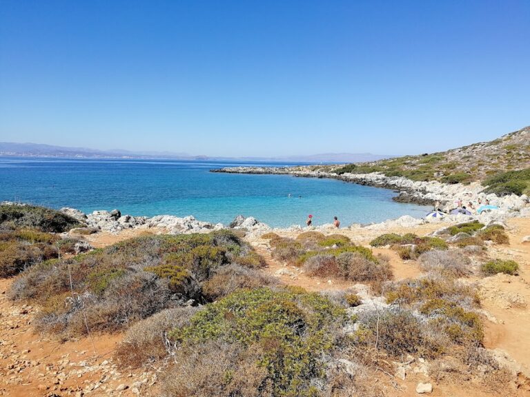
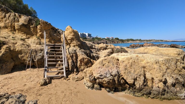
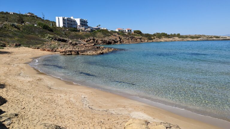
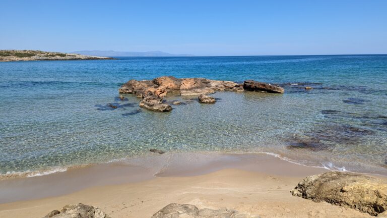
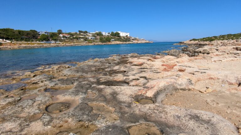
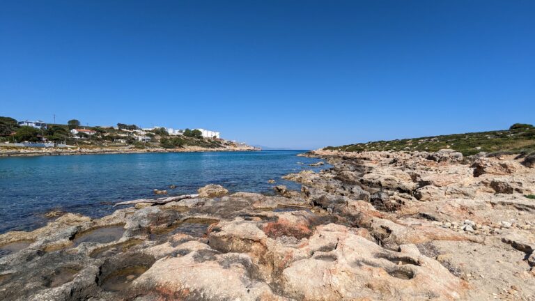
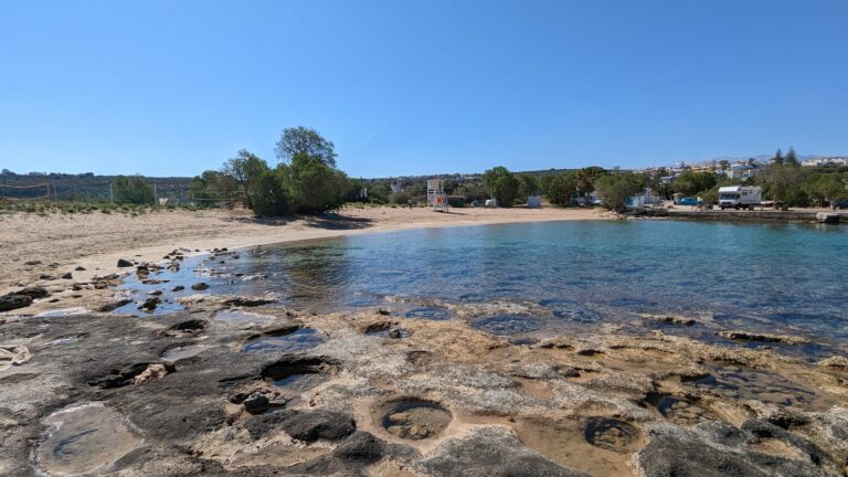
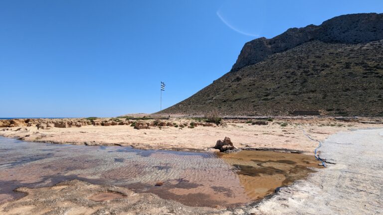
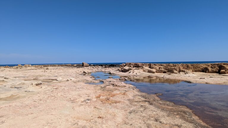
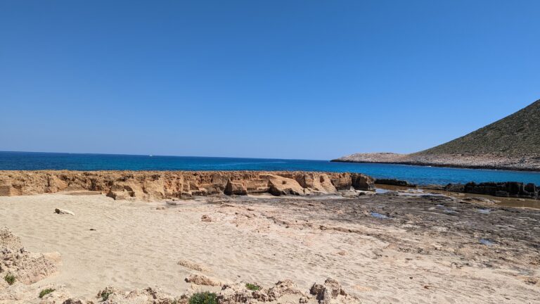
Macherida, a small beach, is situated 14km northeast of Chania and 1km west of Chorafakia village, in close proximity to Tersanas. Its name is derived from the Greek word “machairi” meaning “knife,” inspired by the knife-like appearance of a rocky cape at its northern end. Another theory suggests it was named after the Gladiolis italics flower, known as “macherida” in Greek.
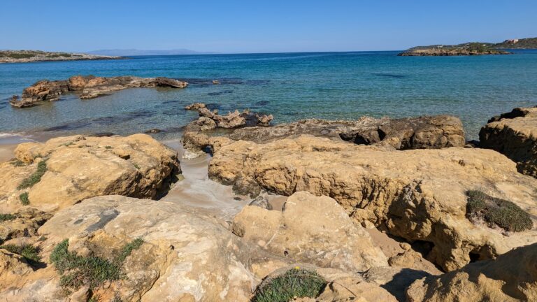
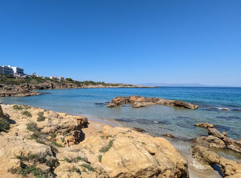
The bay, facing southwest, is typically calm. At the heart of the bay lies a beautiful beach with white sand and turquoise water, enclosed by sharp rocks. The water clarity here is exceptional due to the sea currents that frequently change direction, sweeping away any rubbish. While the beach isn’t developed, there has been some residential construction in the vicinity in recent years. Macherida beach, with its seclusion, is a popular spot for nudists and is one of the preferred beaches for the gay community in Chania.
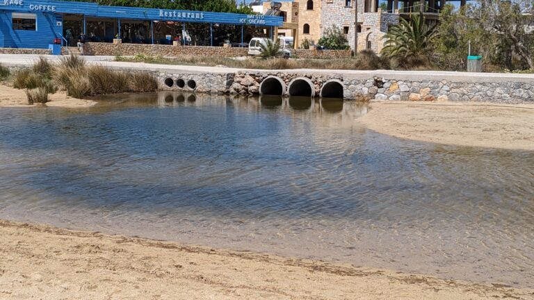
The surrounding coastline serves as a unique habitat for various wild species. Close to the main road, amidst the rocks, is the Macherida pond that resembles a crater with saltwater springs. This provides a sanctuary for water snakes, turtles, and seagulls. The city bus route to Stavros passes through Tersanas and runs close to Macherida beach.
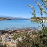
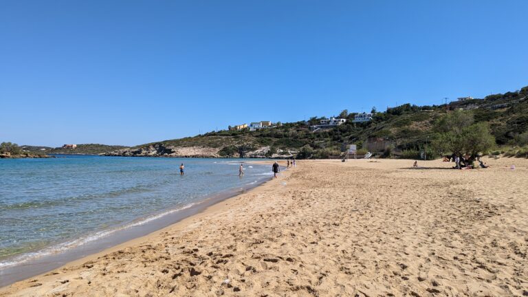
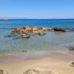
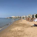
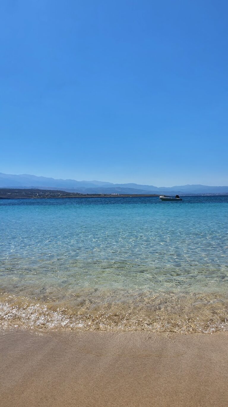
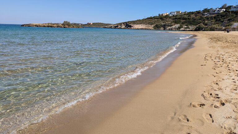
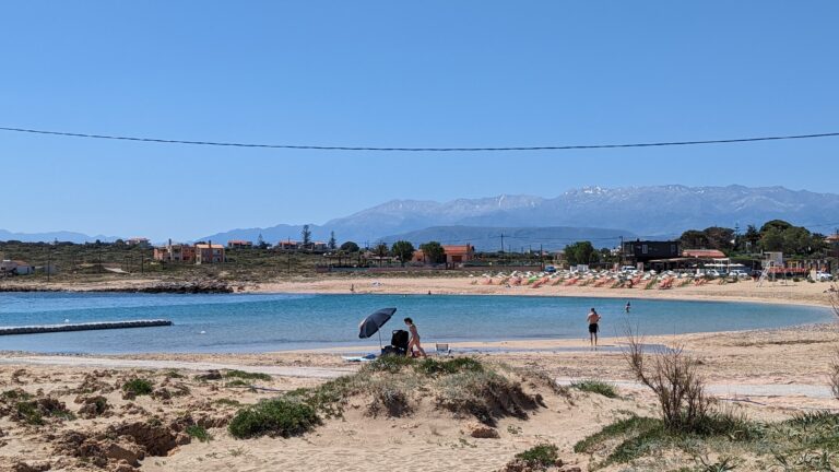
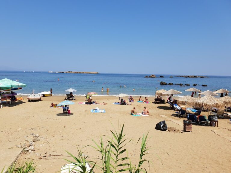
The seaside village of Kalathas is located 12km northeast of Chania city, in a natural bay at Cape Akrotiri, which is open to the north winds. Current Kalathas is a relatively new village, which has been inhabited by residents of Chania who wanted to live away from the city centre.
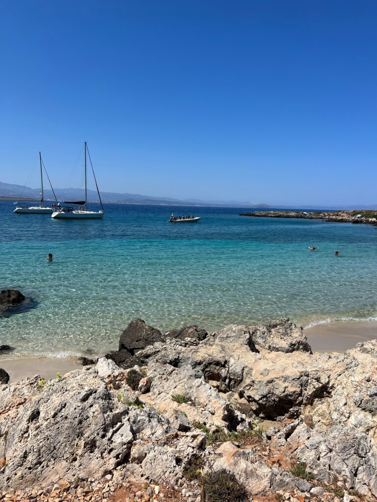
The beach in front of the village is beautiful, with fine sand and shallow crystal clear water. Opposite Kalathas, there is a small island which you can easily reach by swimming.
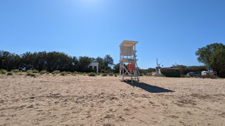
The beach is very well organized with umbrellas, water sports, restaurants, hotels, lifeguards, mini markets, etc.
West of the main bay, beyond the rocky end, there is a secluded sandy bay. This is not organized and is ideal for those who do not like crowded places.
Tip: If you continue towards the far right of the beach, you will find a rather remote beach with usually hardly any people should you wish to avoid the crowded part of the beach.
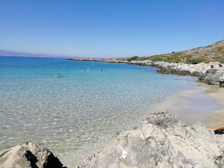
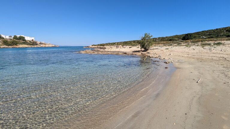
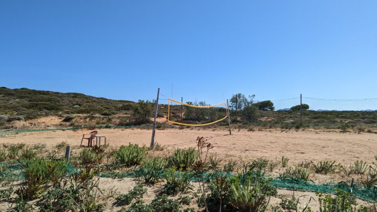
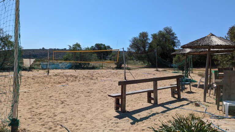
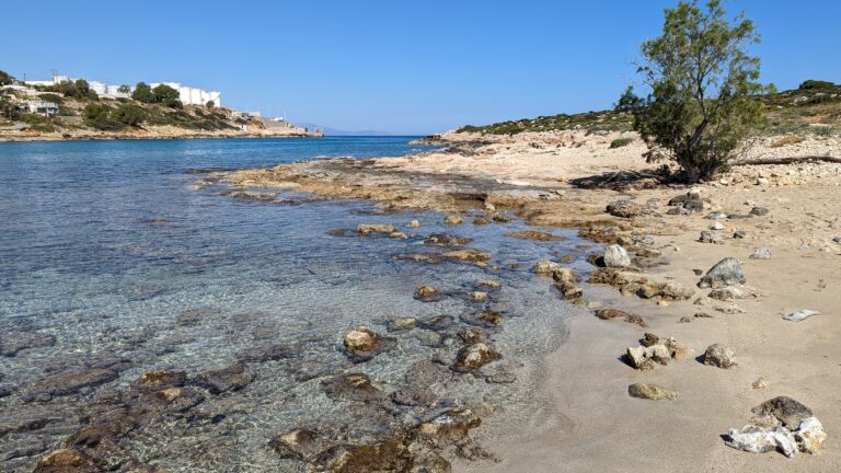
Agios Onoufrios, a serene seaside village located 8km north of Chania and close to Kounoupidiana, is a hidden gem worth visiting.
The beach of Agios Onoufrios is quiet and sandy, and well protected from the winds, as it is located in a deep bay, along with a picturesque small port. Although not well-organized, it’s a popular spot for locals who come for the picturesque landscape and traditional taverns. The only downside is the fuel tanks located northwest of the beach, which break the peaceful atmosphere.
Despite this, the beach is equipped with sunbeds, parasols, showers, changing rooms, and a lifeguard service. For sports enthusiasts, there are two volleyball courts available. Overall, Agios Onoufrios is a great destination for those looking for a quiet beach away from the crowds.
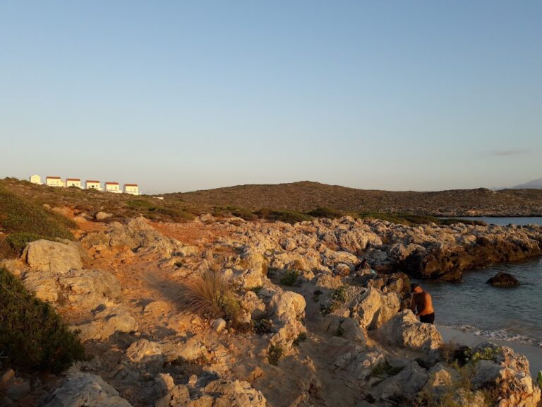
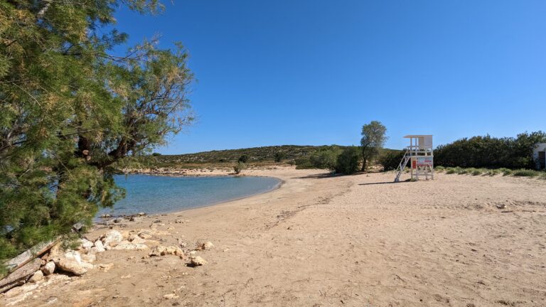
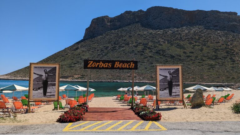
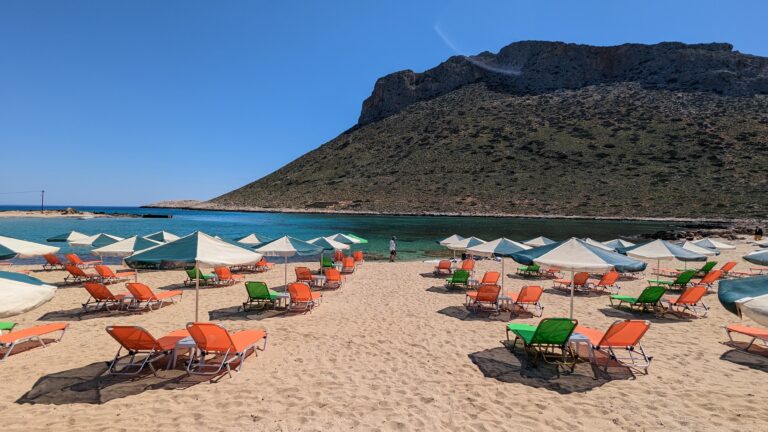
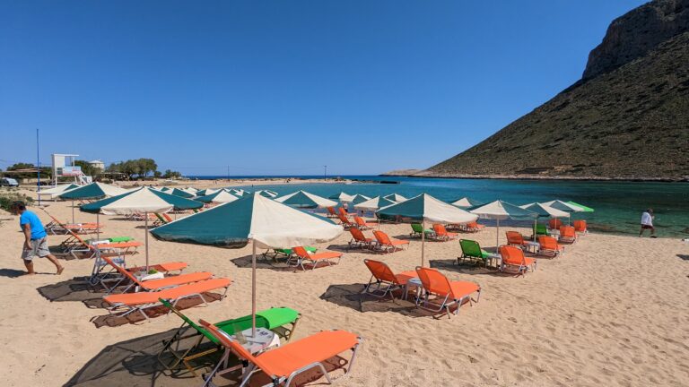
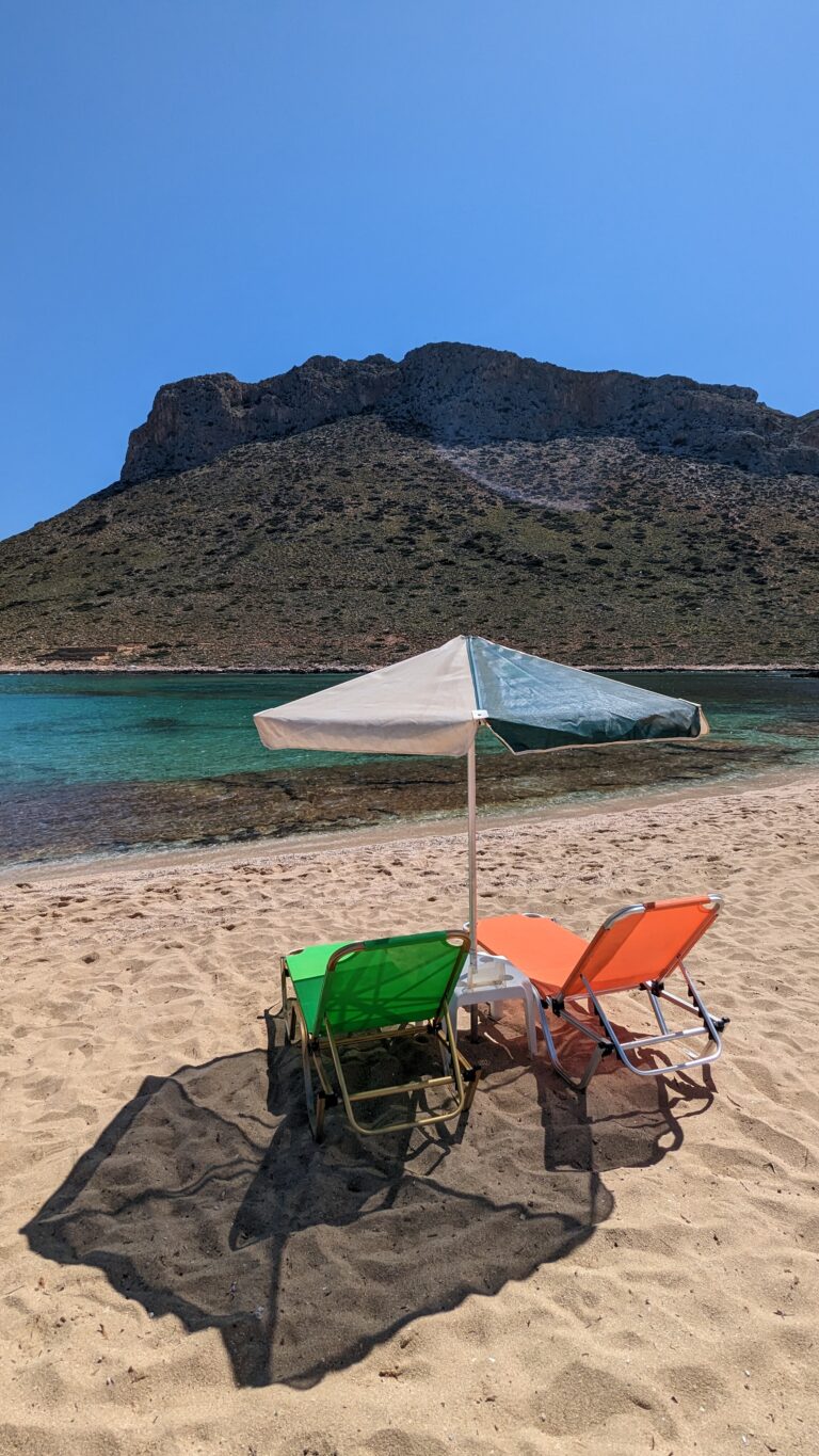
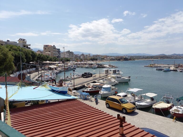
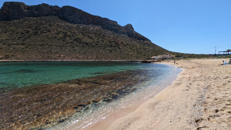
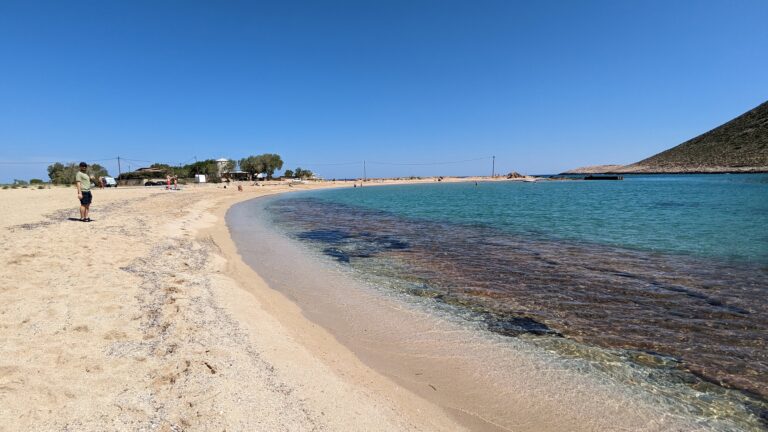
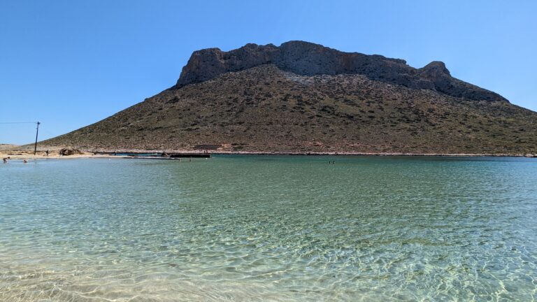
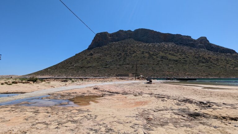
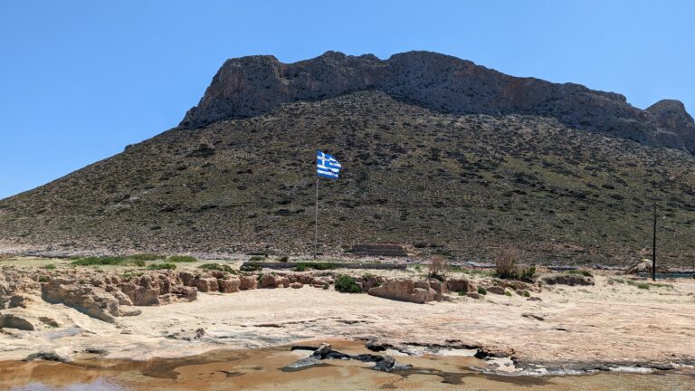
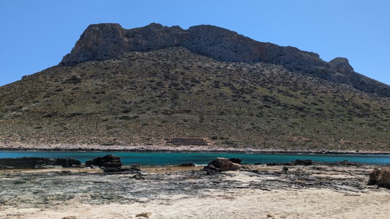
Stavros beach is situated 17km northeast of Chania on the farthest point of Cape Akrotiri, is known for its distinct, camel-shaped mountain, Vardies. This towering landmark gained recognition in the film “Zorba the Greek” as the backdrop for Anthony Quinn’s iconic Sirtaki Dance in 1964. Once a quaint fishing hamlet, Stavros has since transformed into a bustling tourist hub, complete with numerous hotels and top-tier tourist facilities. The area’s popularity is further boosted by its two stunning beaches.
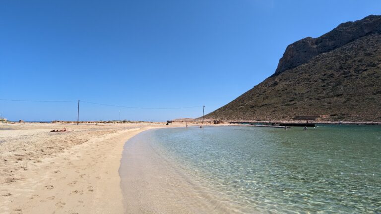
The primary beach lies to the village’s east, nestled at the base of the Vardies mountain and adjacent to the scenic harbour. It forms a protected, semi-circular lagoon with pristine white sands and shallow, turquoise waters. The contrast between the rugged mountain and the tranquil beach provides a unique and enchanting swimming experience. As anticipated, the beach is well-equipped with all the necessary amenities.
200 meters northwest of the main beach, you’ll find Stavros’ secondary beach, a mix of sandy stretches and rocky areas. It’s less developed and cleaner than its counterpart, but its exposure to the elements can lead to wavy seas. The peninsula separating the two beaches holds historical significance, housing remnants of an ancient quarry that provided limestone for Chania’s Venetian-era Walls (13th- 17th century).
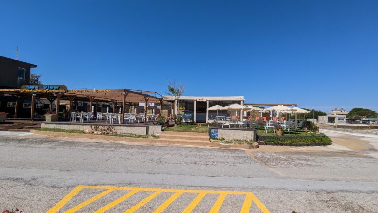
Beyond beaches, Stavros offers an array of other services including accommodation, eateries, mini markets, shops, cafes, and regular bus connections to Chania city.
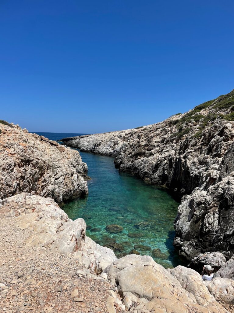
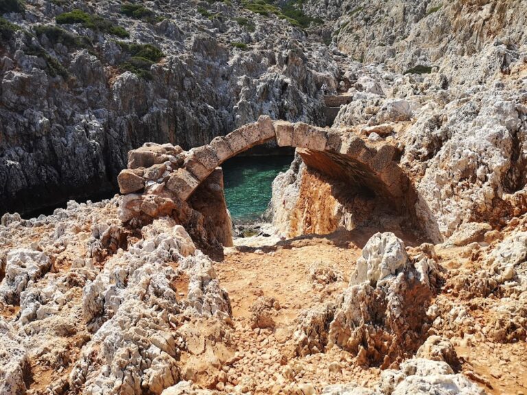
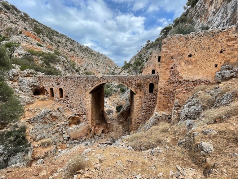
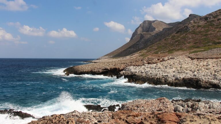
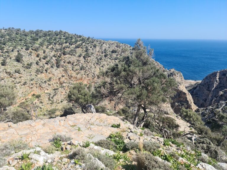
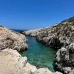
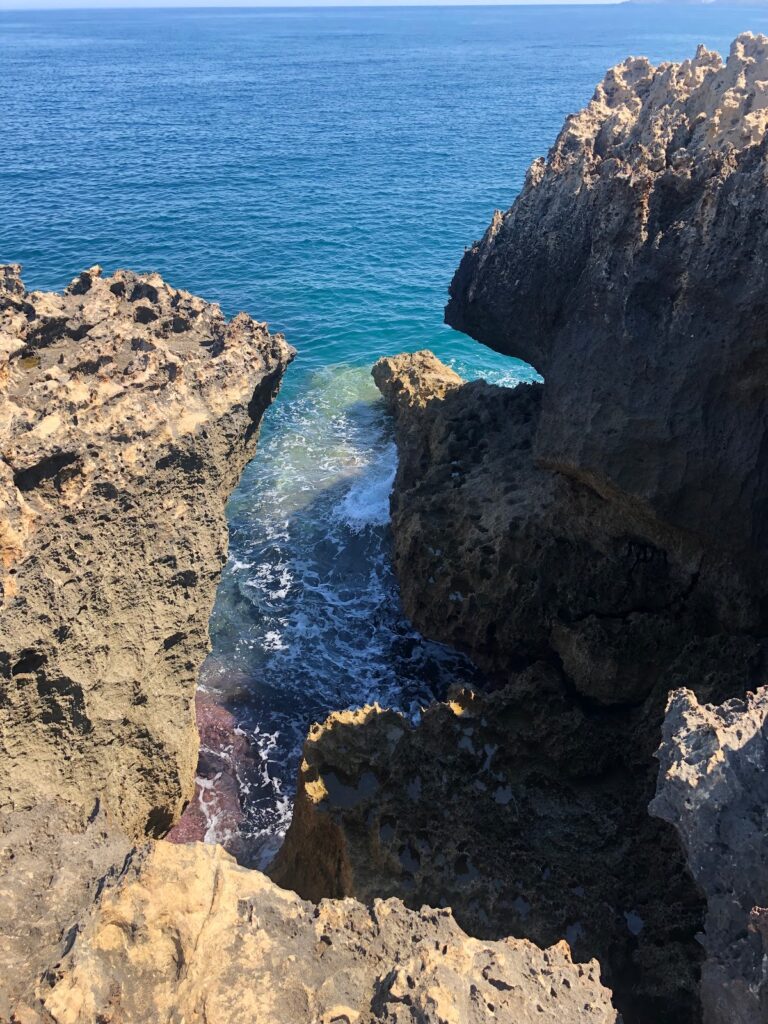
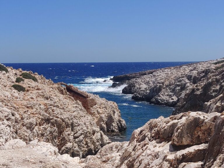
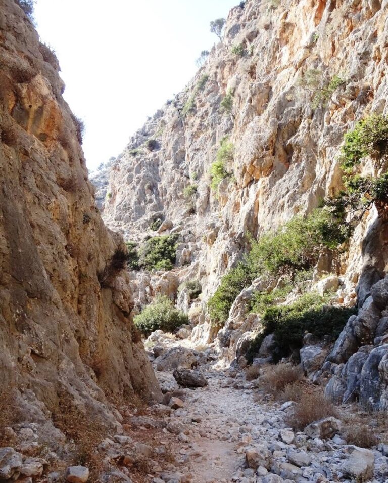
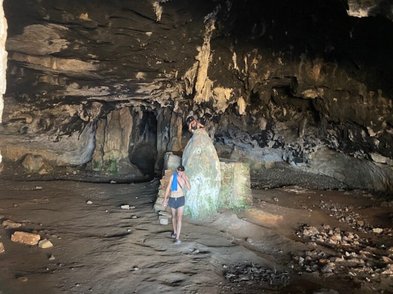
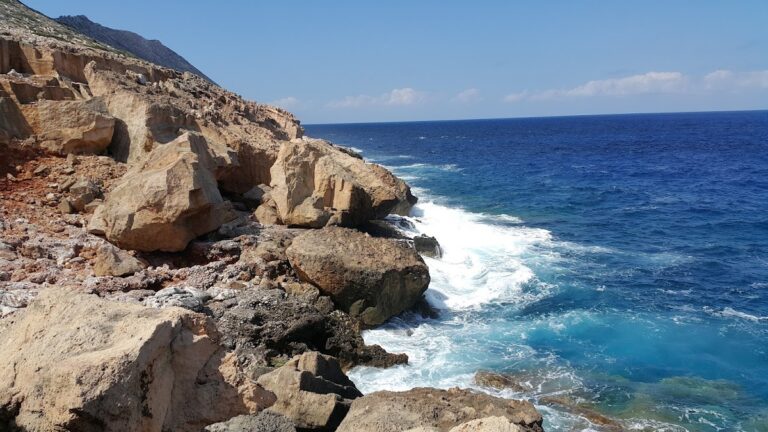
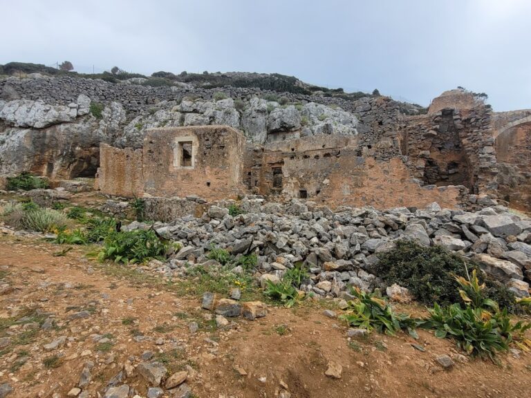
Katholiko Bay, nestled in northwest Crete, is just a 30-minute drive from Chania. This captivating destination promises an adventurous hike that showcases numerous caves, a historic abandoned monastery, a stunning Avlaki gorge, and finally culminates at the picturesque Katholiko Bay. This beach once served as a port for the Katholiko Monastery, where monks used to dock and mend their boats. Its strategic location also made it a prime target for pirate invasions, leading to the monastery’s abandonment in the 16th century.
To embark on this adventure, start at the Gouverneto Monastery. A 30-minute trek will lead you to the deserted Katholiko Monastery. Venture below the bridge, traverse the Avlaki gorge, and in another 20 minutes, the mesmerizing beach awaits. While it’s a rocky haven devoid of sand, the crystalline waters more than compensate. With towering cliffs enclosing the beach, it’s an ideal spot for cliff-diving enthusiasts. Note that the area lacks shade, but there’s a quaint cave on the mountainside for some respite.
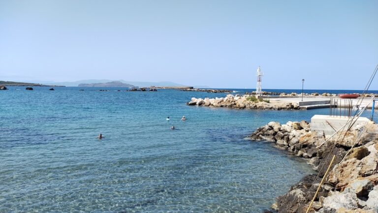
Situated at the eastern edge of the scenic port of Chania, in front of the historical Bedouin district, is Kum Kapi Beach. This location was once inhabited by African economic migrants who lived in rush-made huts during the Ottoman period, having initially arrived on the island as slaves. Presently, the only visible structures are a long coastal street lined with cafes and nightclubs, with no huts in sight. The area derives its name from the Turkish phrase Kum Kapisi, translating to the Gate of Sand, which was a gate on the Venetian Walls adjacent to this sandy beach.
Kum Kapi Beach stretches for approximately 1km to the east beneath a pedestrian road. In previous years, the beach was a popular swimming spot in Chania, but the deteriorating quality of seawater led to swimming being banned. Recent developments in the biological cleaning infrastructure of Chania city have improved the water quality, making it safe for swimming according to the city’s Water Supply and Sewerage Authority. However, Kum Kapi Beach remains unorganized and is still not trusted by locals.
To the west, the ocean meets the road’s wall with no beach in between. On the east side, a strip of sandy beach is formed where most people swim. Further east, a beautiful cove is formed, although locals still avoid swimming there.
Kouloura Pond, Halepa
In the Halepa suburb of Chania, next to the Agia Kyriaki chapel and beach, you’ll find Kouloura – a small rocky pond. This spot is a favored “pool” amongst Halepa residents, each of whom has a unique tale to share about the place.
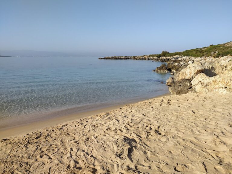
Vlites beach, a well-sheltered spot situated in the grand Souda bay, lies about 5 km to the east of Chania city and holds the title of the longest beach in the bay. This expansive beach takes shape north of the Moronis River’s mouth, extending northwards to the Souda Bay War Cemetery.
The sandy seashore is ideal for kids due to its typically tranquil state and shallow waters. Previously, its closeness to both the Souda Naval Base and Souda’s commercial port led many locals to avoid swimming in its waters. However, chemical analysis has confirmed the water’s cleanliness, assuring that swimming at Vlites beach is entirely safe.
Nea Chora, a picturesque sandy beach, lies just a kilometer west of Chania city center along Akti Papanikoli Street, opposite the Lazaretta islet. A short 15-minute stroll from Chania’s old harbor, this beach boasts a well-maintained main area with several facilities at hand. While mostly sandy, Nea Chora also features rocky patches. It’s the perfect spot for those who prefer to stay nearby the city center. East of the beach, you can still spot the old soap factory’s towering chimney and the former sanatorium of Chania. Nea Chora is a favorite among locals for its seafood taverns, but there are also plenty of restaurants, snack bars, and cafes to choose from. Every summer, the beach hosts the “Sardine Festival”, complete with traditional music, dancing, and free fish for attendees.
Kladissos beach
Further along the river Kladisos, a second beach unfolds all the way up to Aptera beach. Kladisos beach is a lengthy sandy bay, interspersed with pebbly areas. Despite its proximity to Chania and its appealing beauty, the beach remains relatively secluded and unspoiled. The simplest way to access this beach is by crossing the Kladisos river via the pedestrian bridge.
Lazaretta islet, situated across Nea Chora, functioned as a leprosarium for the Venetians in the 17th century, similar to most islets in Crete’s cities. Its moniker is derived from Lazarus, whom the Roman Catholic Church recognizes as the lepers’ patron saint.
Historically, it has been identified as a burial site, presumably for patients, and the site still exhibits the remnants of buildings that the Turks demolished in 1645 to install a sizeable cannon to assist their siege of Chania’s stronghold at the harbour entrance. In certain areas, fragments of bombs dropped during the German military operations in World War II can still be observed.
The islet is home to a Saint Nicholas shrine, constructed by a local man in 1954. This man suffered a sunstroke on the island but was able to swim to Nea Chora and survive. The island features a small sandy beach, favored for snorkeling and often visited by local diving schools and seafaring tour boats. In the 1950s, long-distance competitive swimmers frequently selected Lazaretta as their starting point for races, with the inner harbour of Chania serving as the finish line.


