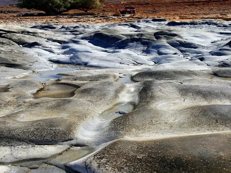
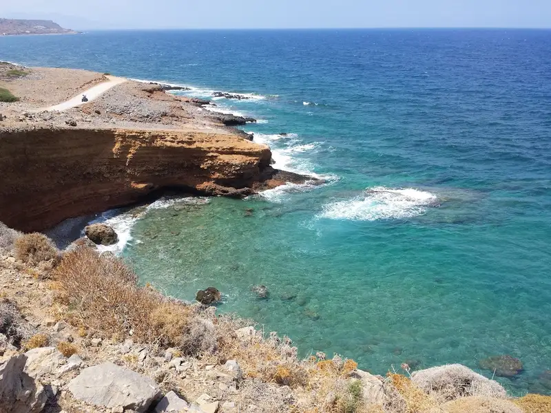
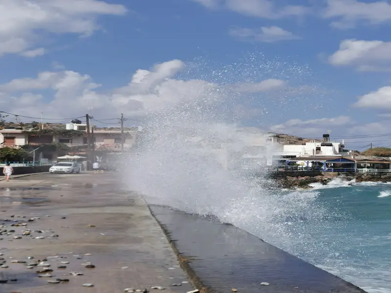
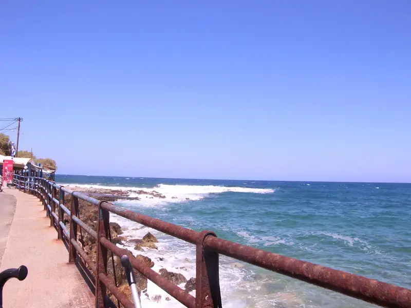
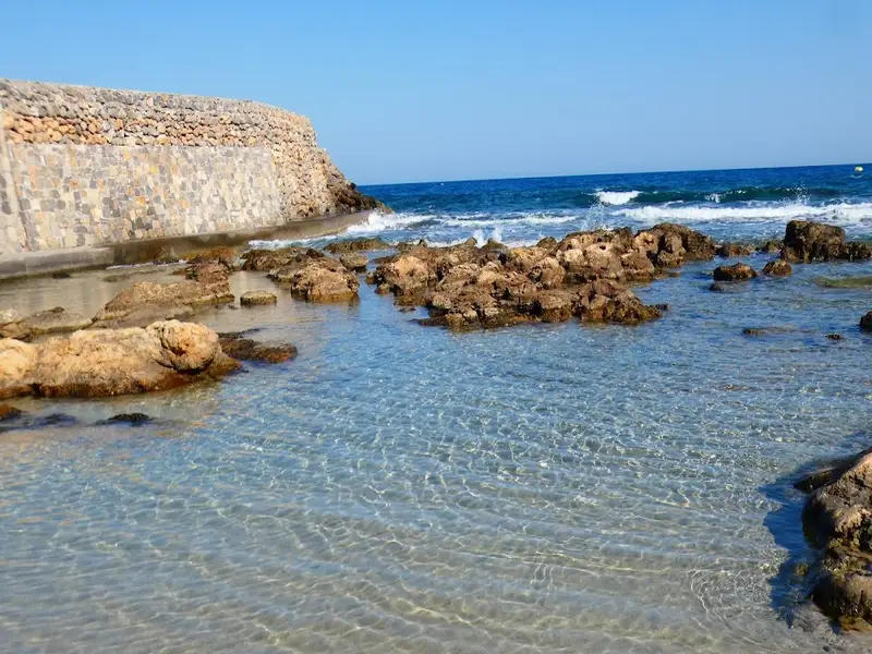
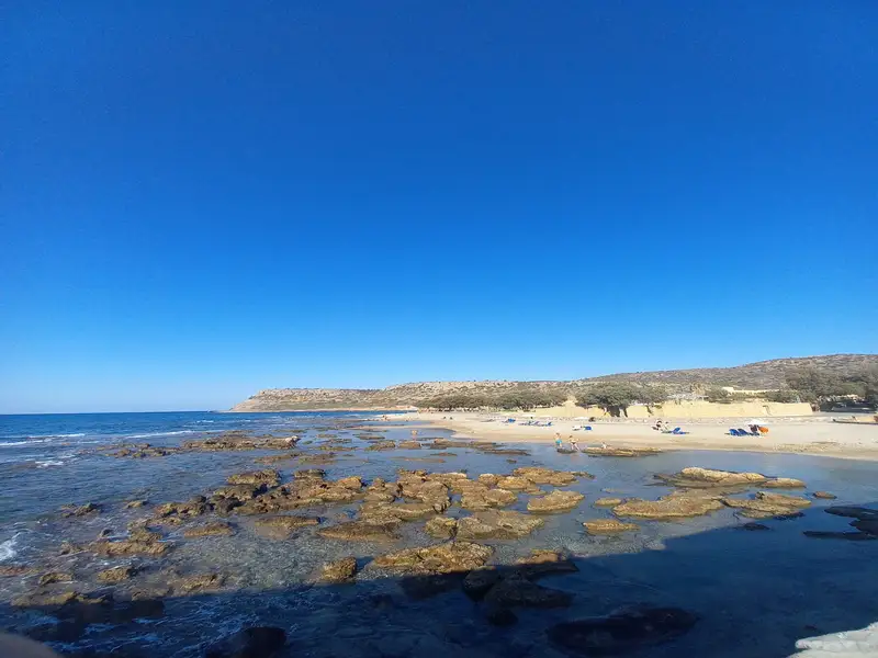
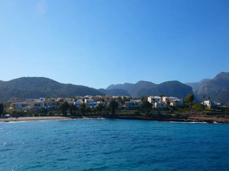
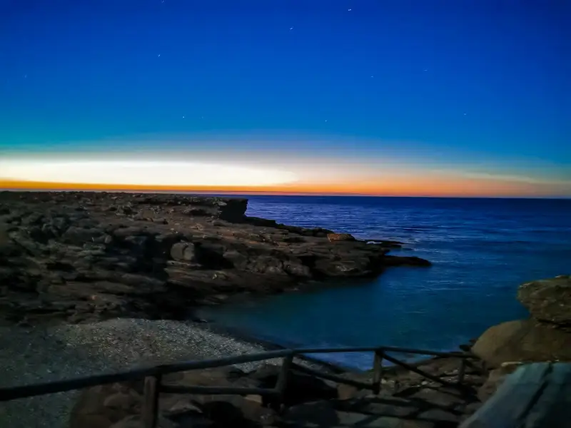
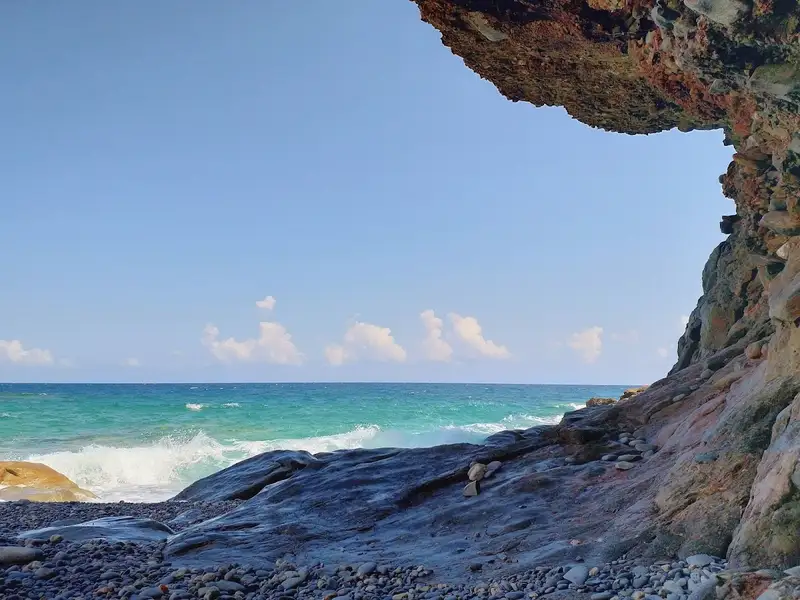
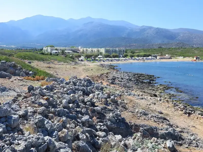
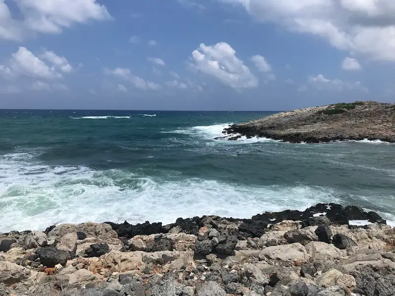
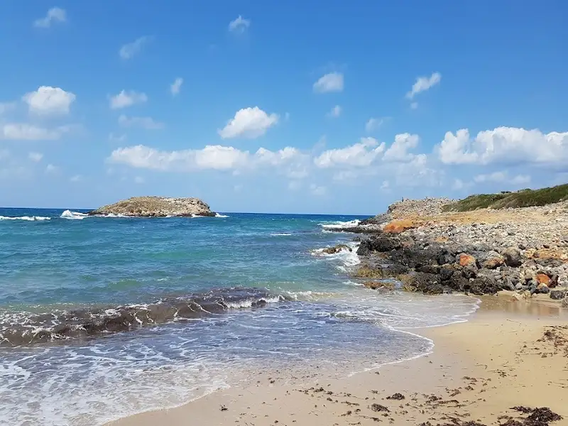
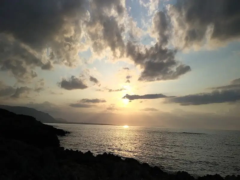
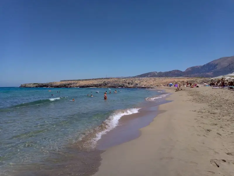
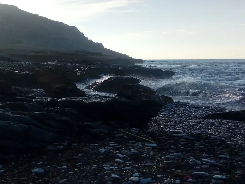
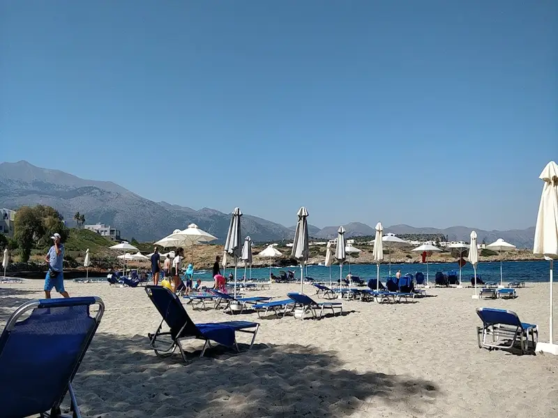
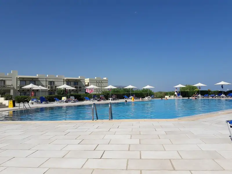
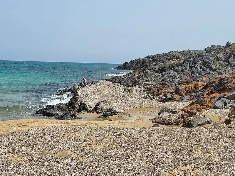
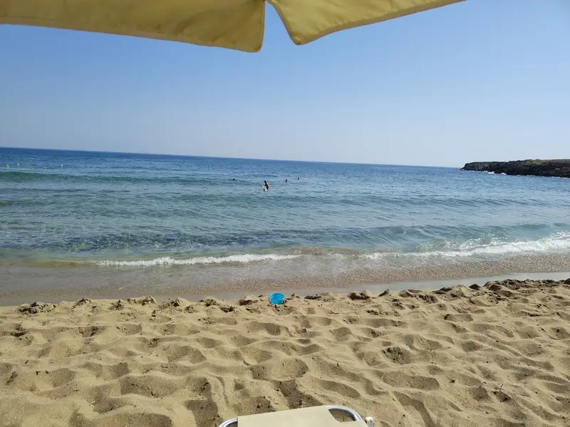
In the region of Anogia, located in the northern part of the Mirabelo province east of Milatos, you’ll come across several tiny, rocky coves. You can reach this area by driving through the rugged terrain. Vlychada Tzavlidon is one such beach, characterized by large pebbles. The beach walls display remarkable layers of conglomerate rocks, and at the western end, there’s a small arch at the base of which is a fresh water spring. This beach is situated at the exit of the gorge known as Christopatimata, or Christ’s Steps. The walls of this gorge are home to some peculiar formations, which are not easily noticeable. According to local lore, these are the footprints of Christ!
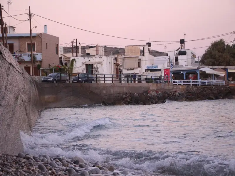
Situated 34km northwest of Agios Nikolaos and 16km east of Hersonissos, on the western fringes of the Mirabello province, lies Milatos. This coastal village has managed to preserve many of its traditional attributes. Just 1km north, one can find the coastal settlement known as Beach of Milatos or Paralia Milatou in Greek. The region is renowned for the Milatos cave, near the village, where a significant massacre of locals by the Ottomans took place in 1823. Today, Milatos is a popular tourist spot with a significant fishing port. The area is dotted with ancient olive groves and the shoreline is speckled with small, rocky inlets, some of which are suitable for swimming.
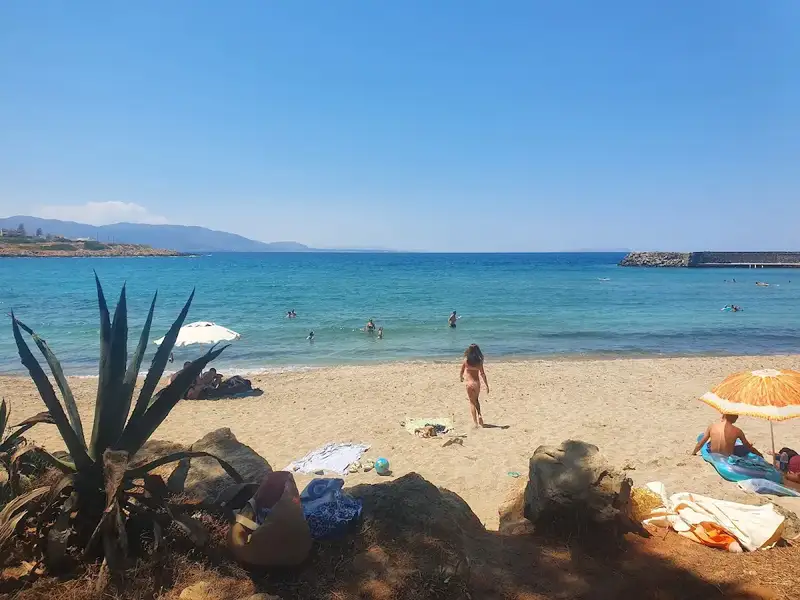
About 1km east of Milatos, in Pigada, you’ll discover small isolated bays with narrow sandy beaches nestled between towering cliffs. These secluded coves of Milatos are perfect for those seeking solitude, though the waves can be quite high. As you approach the village, just before reaching the harbour, you’ll encounter the main beach of Milatos. This sizable beach is comprised of pebbles and rocks in certain areas, and while it’s not fully facilitated, it’s conveniently close to the village’s amenities. Regrettably, this beach is also affected by the waves. The next beach is situated within the harbour (Limani), close to the village taverns. It’s a small sandy beach that’s quite well-maintained. This beach is the most frequented, as the water is always tranquil and safe for children.
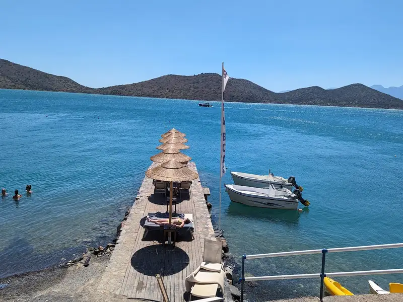
The inventory of Milatos’ beaches would typically end here, but human intervention has altered this. Following the coastal road west from the village will lead you to the Minos Imperial hotel port. For the sake of tourism and revenue, the hotel has constructed two artificial beaches in the Volaki area, both bordered by a cement pier. Previously a natural rocky coast with a stunning seabed, it has now been transformed into a profitable sandy beach, organized by the hotel owners.
The village of Milatos was established near the remnants of the Minoan city Milatos, which was destroyed in the 3rd century BC by the rival city of Lyttos. Homer referenced it as one of the seven Cretan cities that sent troops to Troy. According to legend, Milatos was the name of a boy who was raised in a forest by a wolf. Upon reaching adulthood, he killed the city’s tyrant and fled to the coasts of Asia Minor. There, he founded the famous Miletus colony in 1500BC, which later became the birthplace of several distinguished philosophers such as Thales, Hippodamus, and Anaximander.
Sissi, also known as Sisi, is a tranquil traditional seaside village nestled 26km west of Agios Nikolaos and 41km east of Heraklion, not far from Malia. The village is renowned for its natural harbour, characterized by tranquil deep green waters, and its charming taverns nestled within narrow streets. The Sissi coastline is predominantly rocky, with only a few sandy stretches. The sea around here is typically choppy, making the only calm swimming spot the small beach within the harbor (Limani). This petite beach offers a few umbrellas and showers for visitors.
If you desire to explore other beaches, you can travel east to Harkoma bay, home to the well-kept Boufos beach. This sandy beach is exposed to the wind. Adjacent to it, you’ll find the smaller Avlaki beach, situated at the exit of a narrow bay.
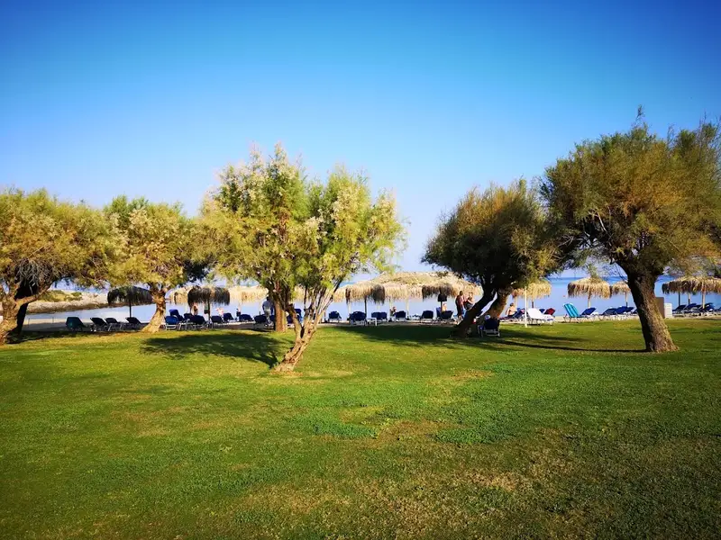
Moving further east, you’ll find the sandy Kalimera beach, located in front of the Kalimera Kriti hotel. Managed by the hotel, the beach is well-organized and boasts of shallow waters, making it perfect for children. On the opposite side of the hotel is Spiliada, the last beach within the Sissi territory. Spiliada is a sandy beach shaded by numerous tamarisk trees, offering a more peaceful atmosphere compared to the other beaches.
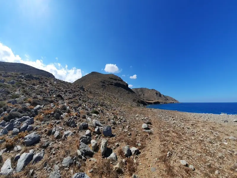
Skotini Beach is situated 32 kilometers northwest of Agios Nikolaos, north of Finokalias village. It is found at the exit point of Skotini gorge, one of the most secluded and untamed areas of Crete island. This isolated location houses a University of Crete research station for aerosol studies, established here due to the clean, unpolluted air and lack of human interference.
To get to the beach, one can follow a small canyon from Finokalias village until it meets the sea. A short path leading northwards will take you to the gorge bed. As you walk, you’ll encounter a stunning, undomesticated landscape dotted with bare rocks, sparse vegetation, and a plethora of herbs and spices. The gorge houses 2-3 water wells and numerous caves within its towering walls. According to local folklore, a mysterious woman named Datserolenia once lived in one of these caves, its entrance still guarded by a stone wall. A little further along the path, you’ll stumble upon the secluded Skotini beach.
Alternatively, from Finokalias, you could take the dirt road to St. Andrew’s monastery nestled amidst a pine forest on Cape Drepani. Part of the church is built into the mountain rock, with an inscription indicating it was restored using funds from Spinalonga patients. To get to the beach from the monastery, walk eastwards along the coastline. Eventually, you’ll come across an old fountain that still gushes fresh water.
The beach itself is characterized by pebbles and patches of rocks. The rocky seabed, coupled with frequent waves, makes swimming a challenge and occasionally hazardous. However, on a calm day, you’re likely to enjoy a refreshing, solitary dip in Skotini’s cool waters.
The name “Skotini” translates to “Dark” in Greek, likely a reference to the high and closely spaced walls of the canyon that block out the sun. This, along with the tree canopies overhanging the edges, creates a “dark” environment within the gorge. Another theory suggests the name comes from the numerous caves found within the gorge.
Vlychadia, a quaint seaside settlement, is nestled 31km north of Agios Nikolaos, along the northern coastline of the Mirabello region. A scenic drive from Neapolis, through the villages of Skinias and Agios Georgios, brings you to this tranquil haven. Here, a small fish tavern offers a taste of local cuisine. The area is dotted with secluded bays featuring mainly rocky and pebbly beaches. Vlychadia beach, directly in front of the village, is a rough and rocky terrain, perfect for spearfishing, though swimming can be dangerous during rough seas.
Further west, at the end of the road, lies Avlaki, arguably the most beautiful beach in northern Mirabello. It is nestled at the exit of the Skinias or Mavrogiannis gorge and is known for its white pebbles and crystal clear water. When the sea is calm, a rare occurrence, swimming at Avlaki is an unforgettable experience.
The road ends at Avlaki, but the beaches continue. About 800m west of Avlaki, the pebbly and rocky beaches of Kakia Naspa and Kouroukoulos can be found. These secluded beaches are only accessible on foot, making them a peaceful retreat. Interestingly, a small olive grove has been planted in the area, despite its inaccessibility by car.
Vlychadia and Avlaki, unspoiled and unorganized, are among the few beaches on the north side of Mirabello. While they are a great choice for a swim, they are not the only reason to visit the area. The gorgeous Mirabello region, with its picturesque villages, ancient monasteries and unique natural beauty, is worth exploring alongside a swim in Vlychadia.
Vlychadia itself is a quiet place, with only a few farmhouses. The site was once home to the Venetian Monastery of St. Nicholas, which was destroyed and later rebuilt in the same location. Today, it is celebrated every year on December 6th.
The Agia Varvara beach, positioned 41km to the east of Heraklion and nestled between Malia and Sissi, earns its name from a church in the east dedicated to Santa Barbara. This sandy haven forms a petite bay in front of a hotel, with the islet of Agia Varvara just across the bay, an ideal spot for swimming, although one should be careful of the strong currents. The beach is well-equipped with sunbeds and umbrellas, and tamarisk trees are scattered around for added shade. However, be aware that this beach, like many others in northern Crete, is often subject to the frequent northwest winds.
Located 30km northwest of Agios Nikolaos on the less-traveled northern shores of the Mirabello area is Agios Antonios at Kato Selles, or Saint Anthony. This secluded area, nestled 3km north of the village Selles, can be reached by taking a mostly passable dirt road heading north from the village. The region is home to a few small beaches and sparsely scattered cottages and farms.
The northern Mirabello is characterized by pebble-strewn beaches tucked amid rugged rocks. Agios Antonios follows this pattern, hosting a collection of small beaches sprinkled with white, round pebbles and stones. These conditions make the beaches perfect for fishing, though not ideal for family swimming due to the frequent large waves crashing onto the northern Cretan shores and the rocky seabed. However, if the weather is calm, Agios Antonios’ beaches offer a tranquil retreat.
400m east of Agios Antonios lies the beach of Patsavra, a secluded pebble beach favored by locals for swimming. To the west, near the village of Kato Selles, you will find the stony beach of Vato Mouri followed by the even rockier beach of Agios Antonios or St Anthony. Tamarisk trees provide shade on the beach, offering a relaxing spot to unwind. Nearby stands the cavernous chapel of Agios Antonios. A small distance further east amongst the rocky shore, you will find a petite beach named Lagadaki with its crystal clear blue water. On calm sea days, which are unfortunately infrequent, Lagadaki is a fantastic spot for swimming and snorkelling.
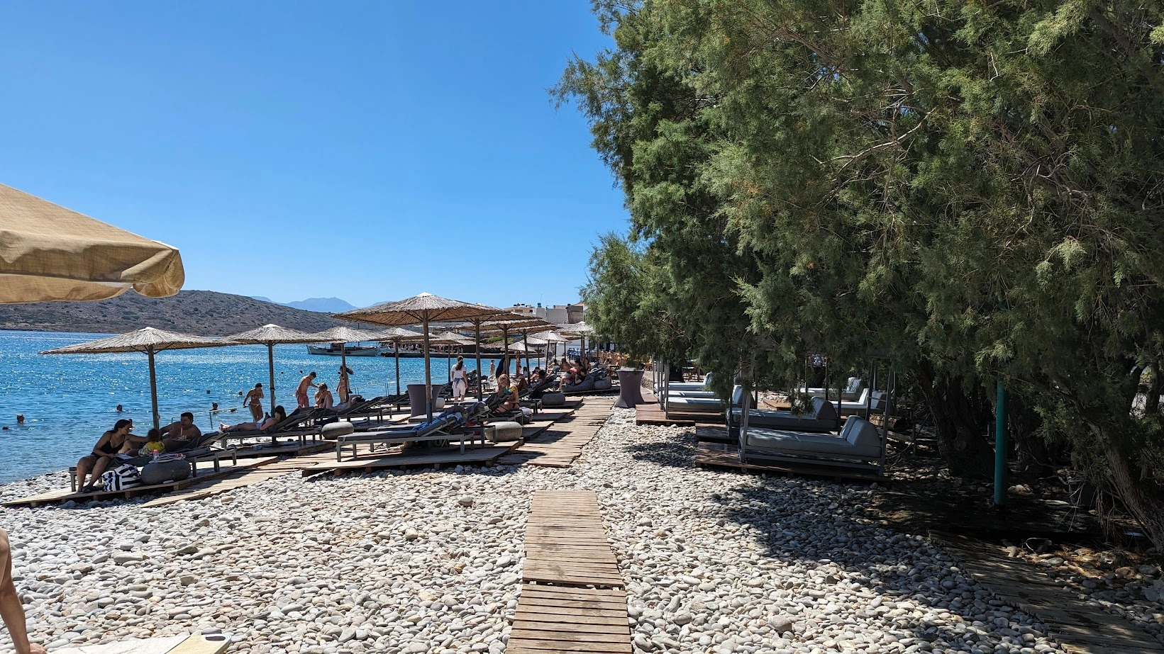

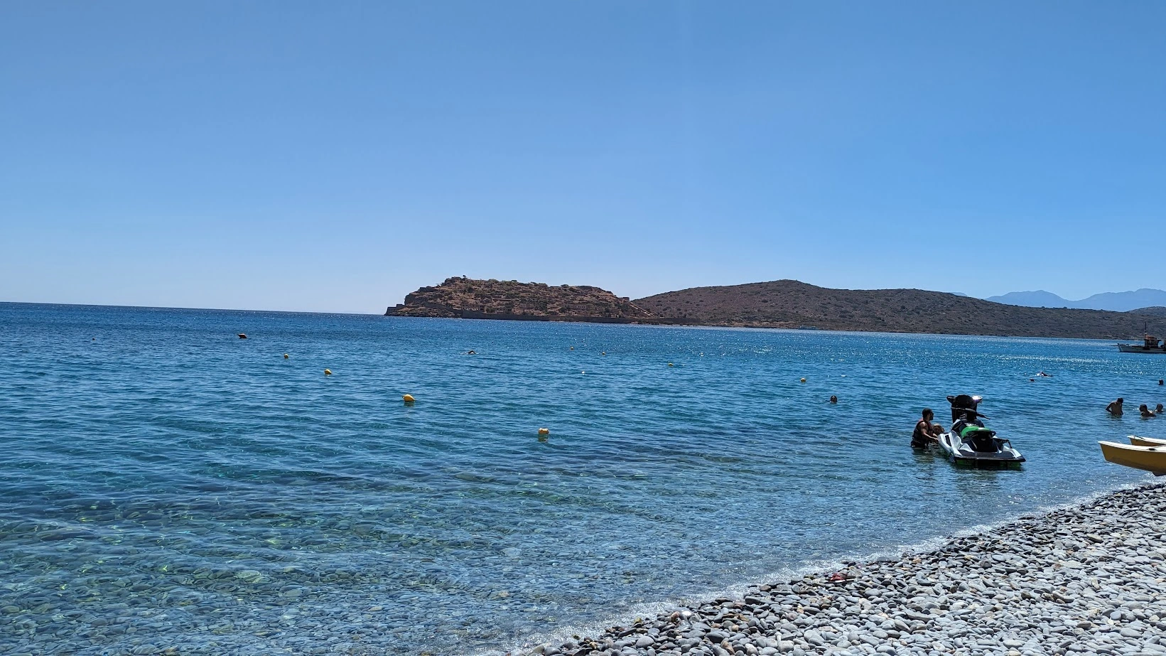


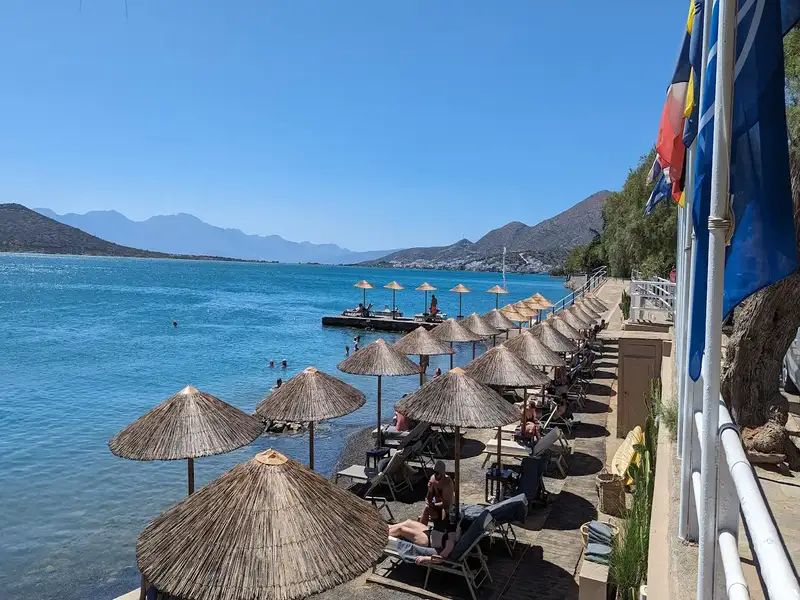
Plaka beach is a pebbly, well-organised beach in the village of Plaka, on the northeast coast of Crete, 16 kilometres north of Agios Nikolaos and a short drive north of Elounda. Plaka beach faces Spinalonga island and its Venetian fortress across a narrow channel, and it is one of the main points where boats leave for the island. The water is clear and usually calm, the shore is made of smooth pale pebbles, and tamarisk trees give natural shade behind the sunbeds.
Plaka beach sits in Plaka village, 16 kilometres north of Agios Nikolaos, opposite the entrance of the Korfos (Elounda) lagoon in the Gulf of Mirabello, Lasithi. The beach looks straight across the water to Spinalonga, the fortified islet also known as Kalydon, so the fortress and the channel are in view from the sand. Plaka village grew up to serve the Spinalonga leper colony, which is why the settlement and the island share one history. Present-day Plaka keeps old stone houses and waterfront taverns, and the Greek television series “The Island” was filmed here in 2010.
Plaka has two pebble beaches, and each one has a different character. The main beach, Plaka beach, lies west of the village, has calm clear water and an interesting seabed, and sits within walking distance of the taverns. Agia Marina beach lies east of the village in front of the large hotel, has bigger pebbles and deeper water, and is a known fishing ground with a rougher seabed in places. Both beaches are pebbly rather than sandy, so the water stays clear and the surface is usually calm. Sunbeds and umbrellas are available to hire on the organised part of Plaka beach, and the tamarisk trees behind them give shade for anyone who prefers to sit on the pebbles.
Drive to Plaka beach along the paved coast road that runs north from Agios Nikolaos through Elounda, a route of about 16 kilometres. Buses also serve the Elounda and Plaka area during the season, and there is parking by the beach. If you want to move between Elounda, Plaka and Agios Nikolaos on your own schedule, a rental car for the Elounda and Agios Nikolaos area gives you the most flexibility on timing.
Reach Spinalonga by boat from Plaka, because the island has no road link and sits directly across a narrow channel from the village. The crossing from Plaka is the shortest of the three departure points, since Elounda and Agios Nikolaos lie further along the coast. Boats combine the beach with a tour of the Venetian fortress and the ruins of the former leper colony, so a swim at Plaka pairs naturally with the island visit. Many guided Spinalonga boat trips and day tours leave from Plaka, Elounda and Agios Nikolaos, and several add a tavern lunch or a swim stop at nearby Kolokytha bay. The small Spinalonga Beach on the island’s quieter side is reached on the same crossing.
Plaka is a traditional fishing village with a relaxed, uncrowded feel and waterfront taverns that serve fresh fish and Cretan dishes. The area west of the village, Ano Mirabello, holds picturesque villages, ancient sites and wide olive groves in the hills. North of Plaka the village of Vrouchas keeps its old windmills, and further on the Aforesmenos Cape lighthouse marks the northwest tip of the Gulf of Mirabello beside a modern wind farm. Inland stops such as Elounda, Agios Nikolaos and the craft village of Kritsa round out a day trip, and a scenic drive through Mirabello leads on to Neapoli or Milatos and the main road to Heraklion.
Visit Plaka beach between June and September, when the weather is warm and the sunbeds, taverns and boat trips run at their fullest. Spring and autumn stay quieter and still pleasant for swimming, so April to early June and September to October suit anyone who prefers fewer people. The beach faces a sheltered channel, which keeps the water calm on most summer days.
Use these tips to get the most out of a day at Plaka beach:
Yes, Plaka beach is worth visiting for its clear calm water, its pebble shore and its direct views of Spinalonga island. The beach is organised with sunbeds and umbrellas, sits beside a traditional village with waterfront taverns, and works well as both a swimming stop and the start of a boat trip to Spinalonga.
Plaka beach is on the northeast coast of Crete, 16 kilometres north of Agios Nikolaos and just north of Elounda, in the Gulf of Mirabello, Lasithi. It lies opposite the entrance of the Korfos (Elounda) lagoon and faces the island of Spinalonga.
Plaka beach is pebbly, with smooth pale stones rather than sand. The pebbles keep the water clear, and water shoes make walking into the sea more comfortable.
Yes, the water at Plaka beach is clear and usually calm, which suits swimming and snorkeling. The beach faces a sheltered channel toward Spinalonga, so the surface stays calm on most summer days.
Yes, sunbeds and umbrellas are available to hire on the organised part of Plaka beach. You can also sit for free on the pebbles under the tamarisk trees that line the back of the beach.
Yes, Plaka beach suits families, because the main beach has calm clear water and taverns within walking distance. Families who prefer shade can use the tamarisk trees or hire an umbrella on the organised stretch.
Take a boat from Plaka to Spinalonga, which is the shortest of the three crossings to the island. Boats also leave from Elounda and Agios Nikolaos, and most trips combine the fortress tour with time at the beach.
Yes, Plaka has waterfront tavernas within walking distance of the beach. The taverns serve fresh fish and traditional Cretan dishes beside the sea.
No, Plaka beach is an organised family beach and is not a designated naturist beach. It has sunbeds, umbrellas and nearby taverns, and it is used mainly by families and day visitors.
The best time to visit Plaka beach is between June and September, when the weather is warm and all the services run. Spring and autumn are quieter and still good for swimming, so choose April to June or September to October for fewer crowds.
Beginning your journey from Elounda and heading towards Plaka along the coastal road, you will soon encounter a series of small pebble and stone beaches at the Mavrikiano and Agia Paraskevi settlements. In certain spots, you’ll see olive trees rooted on the beach itself, unharmed by the tranquil and saline waters of the lagoon. Occasionally, you’ll come across beach bars perched on platforms. The charming sight of fishing boats docked nearby undoubtedly tempts you to pause your journey for a photo op. As you move further north, the beaches of Tsifliki and Plaka unveil themselves, offering breathtaking views of Spinalonga, the famous leper island, and one of Greece’s most renowned attractions.
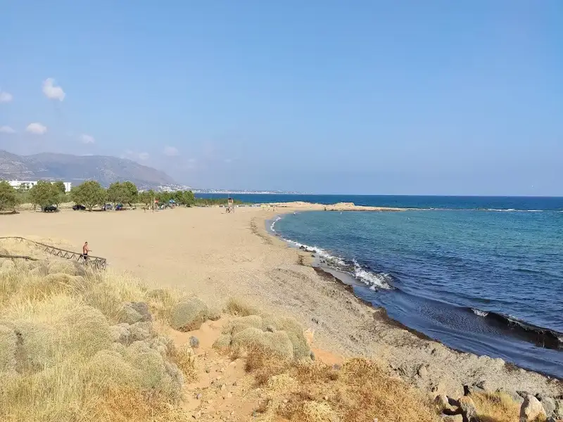
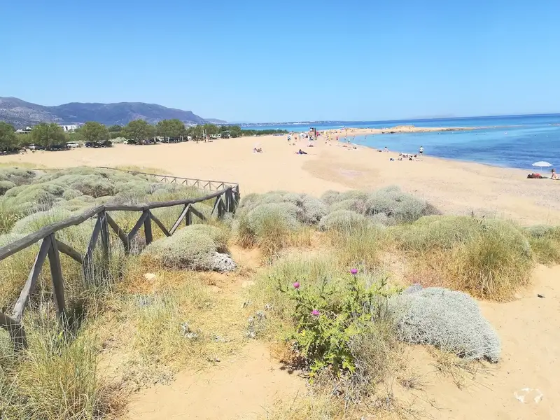
Potamos Beach is a quiet, sandy beach about 3 km east of Malia on the north coast of the Heraklion region of Crete, named after the small river that runs beside it. It sits just east of Malia’s port, next to the Malia wetland and the Minoan Palace of Malia, and stays calmer than Malia’s busy main beach. From Heraklion it is roughly a 30 to 35 minute drive east.
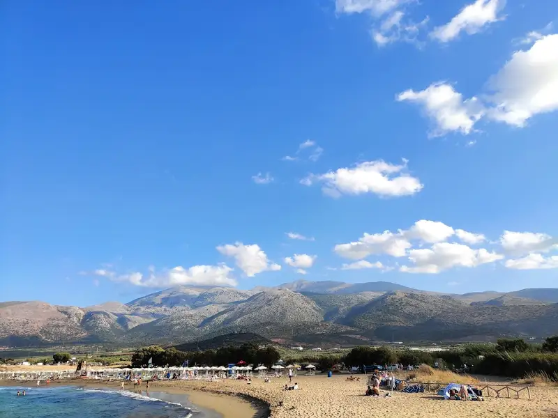
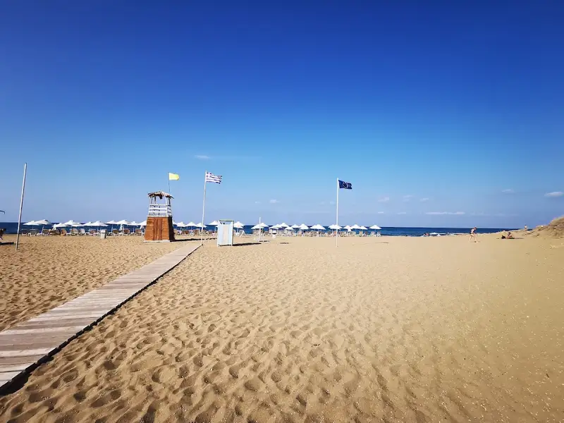
Potamos is a long, well kept stretch of sand that draws far fewer people than the main beach in the middle of Malia. The eastern end stays largely undeveloped because of the archaeological site and the protected wetland behind it, while a few hotels sit to the west, each with its own patch of sand.
The Malia wetland is an ecologically important reed bed that shelters many bird species and preserves coastal plants that have disappeared from much of Crete. Water flowing down from Mount Selena keeps a stream running here, turning into a small river close to the shore in winter and feeding clear water into the sea. The water is fresh enough that goats often come down from the hills to swim and drink at the edge of the beach. In autumn, white sand lilies bloom across the low dunes that back the shore.
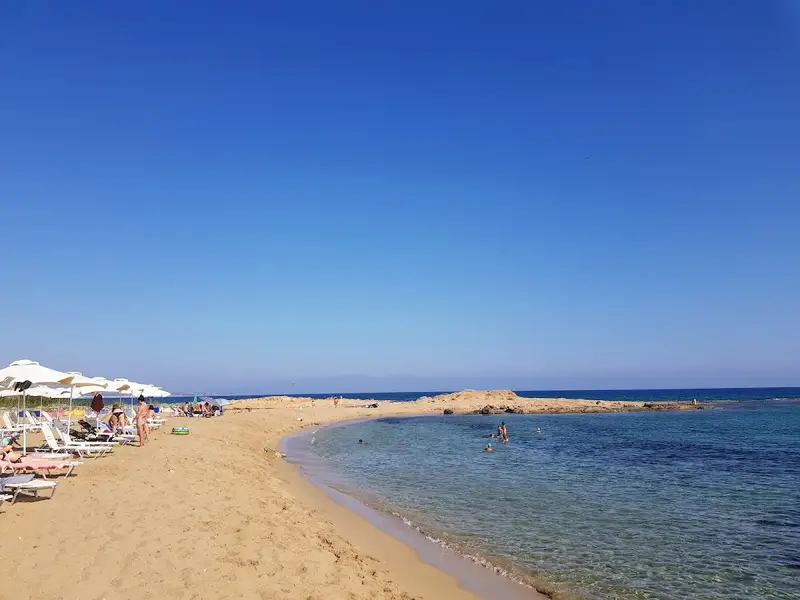
The beach is fine golden sand, and the sea is clear and shallow, deepening gently over a soft, sandy seabed. That makes it a good choice for families with young children, who can paddle safely close to shore.
Potamos is really more than one beach: a couple of sandy stretches with small rocky coves in between. The eastern bay is more sheltered and calmer, while the longer western stretch catches the north and northwest winds and turns wavier, so pick your spot to match the day. The rocky coves between the sandy sections are good for snorkeling.
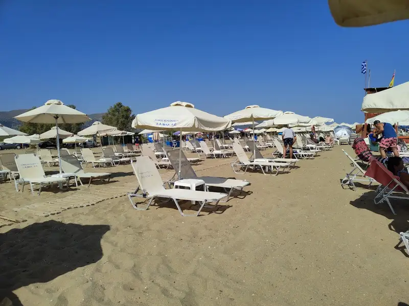
Sunbeds and umbrellas are available to rent, and there are showers and a lifeguard on duty in season. Tamarisk trees along the back of the beach give natural shade, which helps when the midday sun is strong, so bring sun protection as well. For food and drink there is a snack bar on the sand, plus tavernas and a few hotels on the western side. Potamos flies a Blue Flag for its water quality and organisation.
By car it is a short drive from Malia, with parking beside both main sections of the beach. By bus, the Heraklion to Malia and Agios Nikolaos service stops close by, near the Malia Palace, from where it is a short walk down to the shore. You can also walk from Malia in about 30 to 45 minutes along Machis Kritis or Grammatiki. If you would rather have a car for the day and reach the quieter coves and nearby villages easily, you can rent a car in Crete.
Potamos Beach sits within easy reach of several sights. It is a short walk from the Minoan Palace of Malia, one of the largest Minoan palace complexes on the island, so a beach day pairs easily with some history. The wetland right behind the sand is a good spot for a short nature walk and birdwatching.
A coastal path runs east over the headland to the next cove. That walk ends at the small, church-side Agia Varvara beach.
Potamos Beach is on the north coast of Crete, about 3 km east of Malia and roughly a 30 to 35 minute drive east of Heraklion. It takes its name from the small river that runs beside it, next to the Malia wetland.
You can drive from Malia in a few minutes and park beside the beach. The Heraklion to Malia and Agios Nikolaos bus stops nearby, close to the Malia Palace, and it is also walkable from Malia in about 30 to 45 minutes along Machis Kritis or Grammatiki.
Yes. The water is clear and shallow and deepens gently over a soft sandy seabed, which suits children. The eastern bay is the most sheltered, so it is the calmest part for young swimmers.
There are sunbeds and umbrellas to rent, showers, and a lifeguard on duty in season. Tamarisk trees give natural shade, and there is a snack bar on the beach with tavernas nearby on the western side.
Potamos is quieter than Malia’s main beach and keeps a relaxed feel. It is busiest in July and August, while June and September are calmer.
The long western stretch catches the north and northwest winds and can get wavy. The eastern bay is more sheltered, so head there on windier days.
Yes, Potamos Beach holds a Blue Flag, awarded for water quality and beach organisation.
The Minoan Palace of Malia is within walking distance, and the Malia wetland behind the beach is good for a nature walk and birdwatching. A short coastal walk east over the headland reaches Agia Varvara beach.
No results available
© All rights reserved. Crete Locals