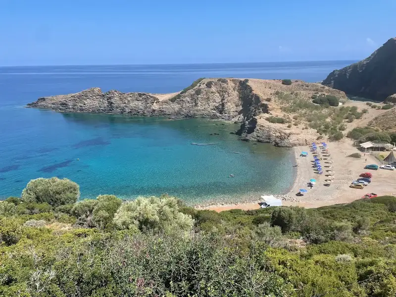
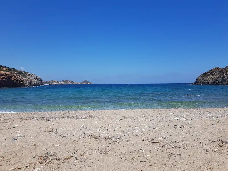
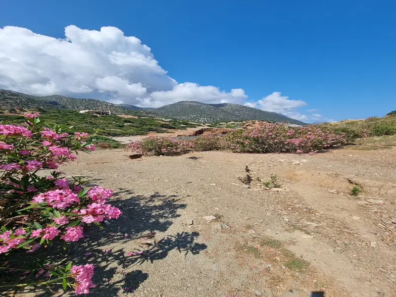
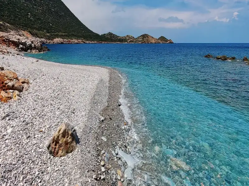
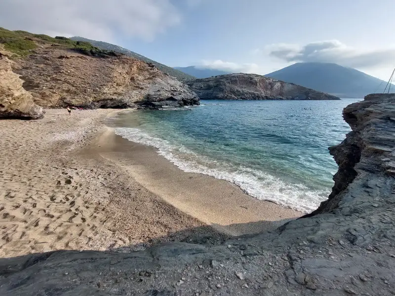
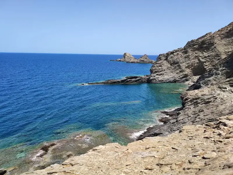
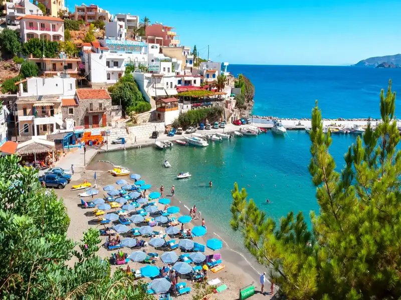
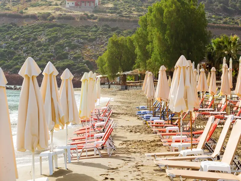
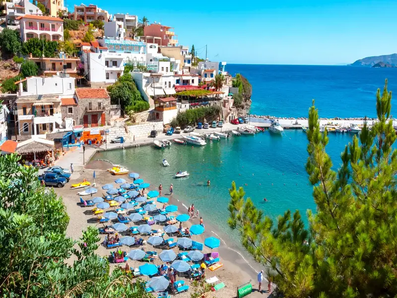
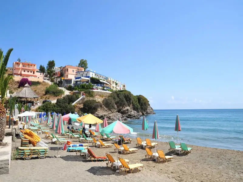
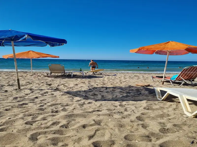
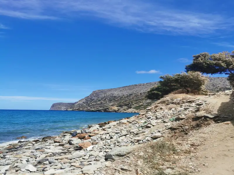
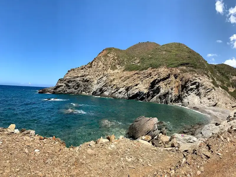
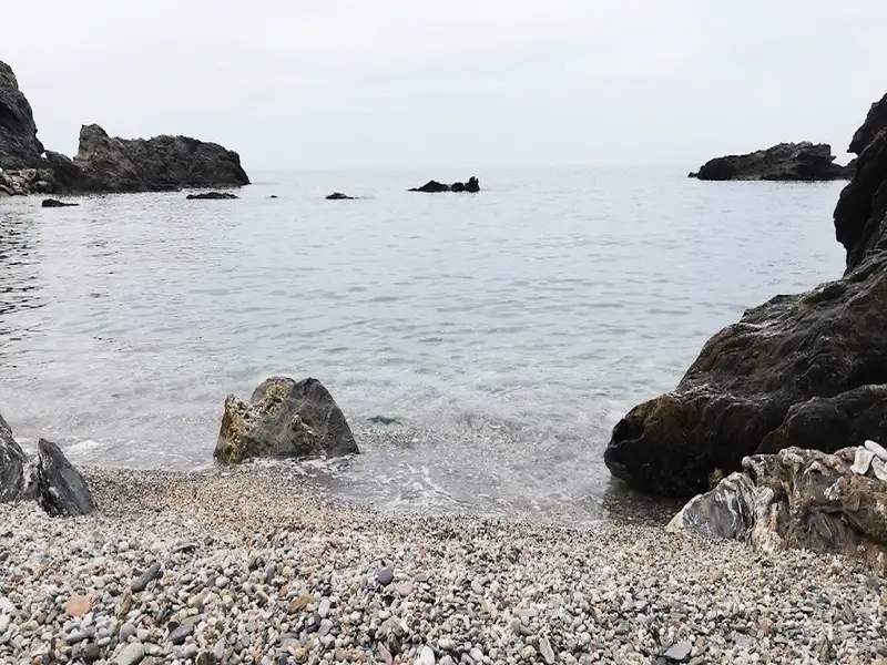
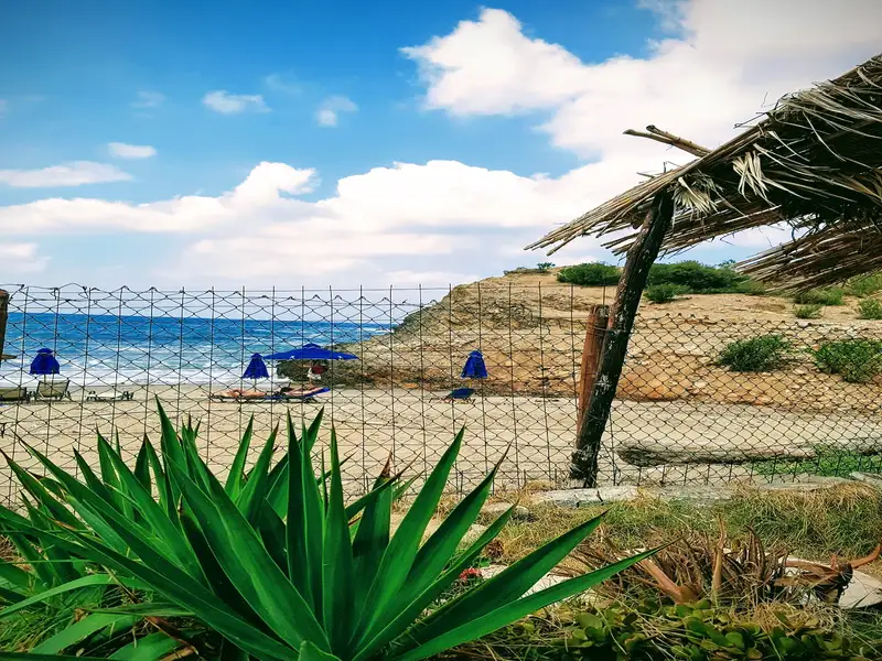
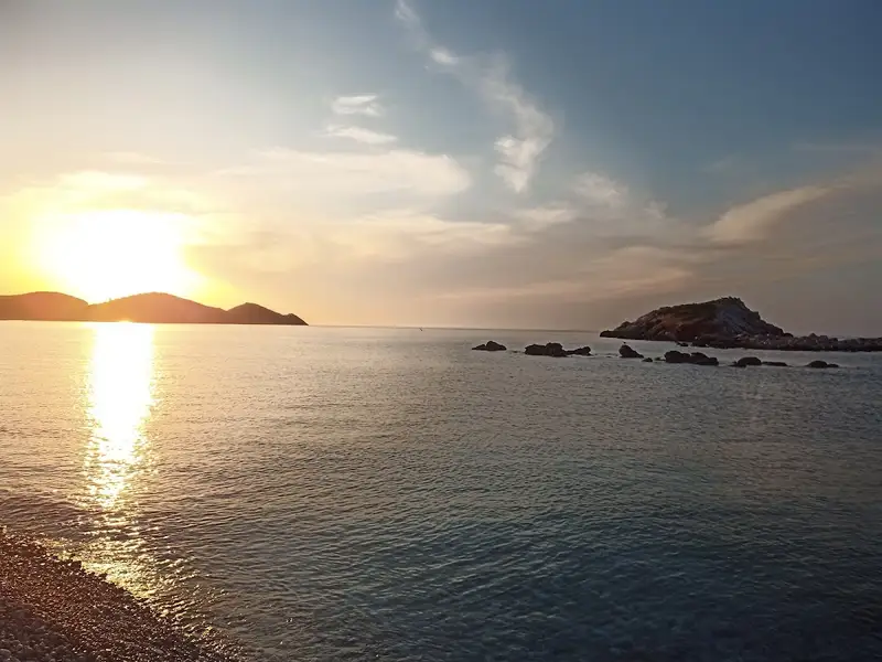
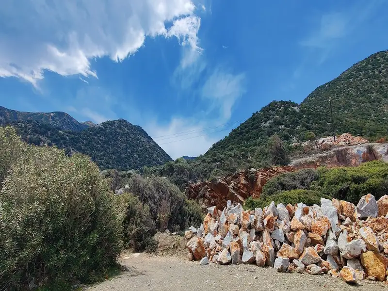
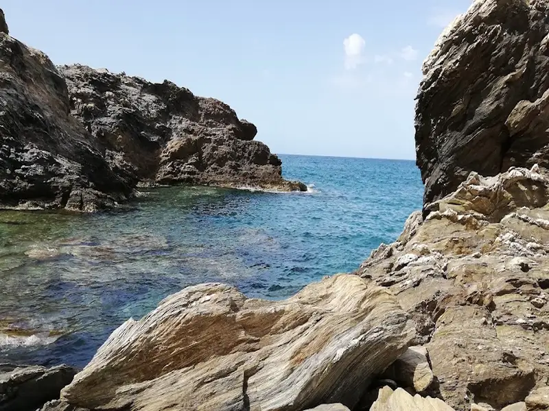
Almirida is a small seaside settlement located 38km east of Rethymnon, near the village of Sisses. The village is not touristically developed and is actually the favourite beach of the residents of Sisses. On the west, there is a small cement pier, which protects the small harbour of Almirida. Next to the harbour, there is a small sandy beach with rocky seabed and surrounded by tamarisk trees, where one can find shade. Do not expect very special services, since there are a few rooms and some cafes-taverns.
Alyki beach
A few meters east of the village, near the shore, there are the ruins of the old tax office for carob, which once operated in the area, when no roads approached the area and products were exported with cargo ships. Here is the main beach of Almirida, named Alyki (i.e. salt pan), which is mainly sandy and usually wavy. There is a small stream with water all year round where you could see crabs and tortoises; some meters to the south there is the scenic chapel of Saint Nicholas.
On top of the nearby Pirgos peak, the Germans had built an outpost. You can still see the engraved name of the German soldier on the rock, dating back to 1943.
Kalo Horafi, situated about 37km east of Rethymno and 43km west of Heraklion, is the former site of the 317 Agii Pateres Pelekida (317 Holy Fathers) monastery. While the original monastery cells no longer exist, a more recent chapel has been erected in their place. The area, known as Kalo Horafi, is marked by the rugged beauty of the Cretan landscape, complete with the towering Talean mountains and verdant ravines.
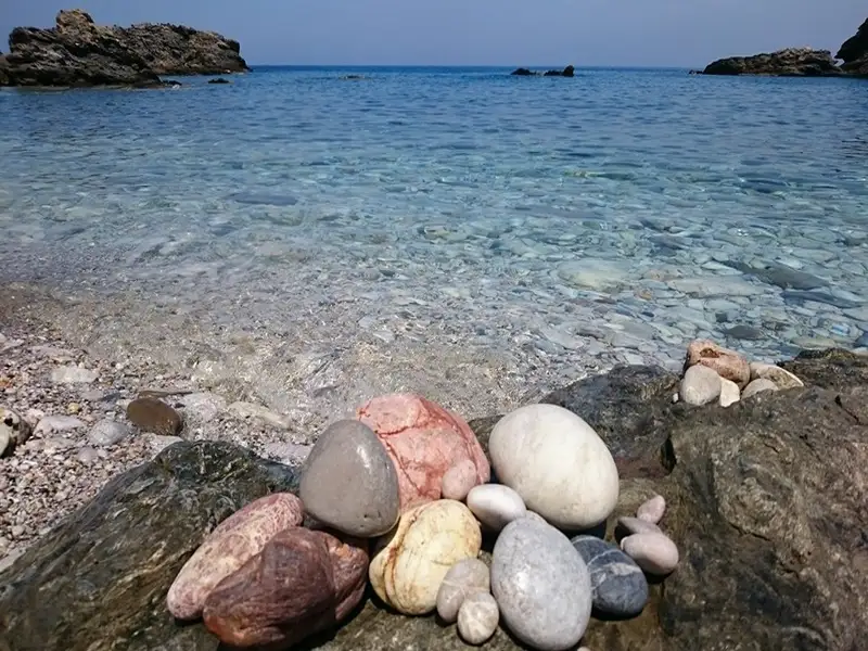
A brief unpaved path (200m), starting from the point on the main road where the Chnaris tavern stands, leads to a charming small beach facing the west. The beach, adorned with pebbles, is rarely crowded. Aside from the tavern and a few villas, the area is largely undeveloped. The beach is also recognized as Vossako, as it marks the beginning of the Vossako ravine, which leads to the Vosako monastery after a walk of approximately 1-1.5 hours. The monastery, which is dedicated to Timios Stavros (Holy Cross), was in ruins until recent restoration works unveiled a hidden treasure of the Cretan religious heritage that you should definitely visit (via Doxaro village).
Additionally, there is a second, smaller pebbly beach with a rocky seabed located just behind the northern end of the main beach, which is easily reachable on foot. This beach, named Vrahi beach, is perfect for snorkelling (but only on calm days).
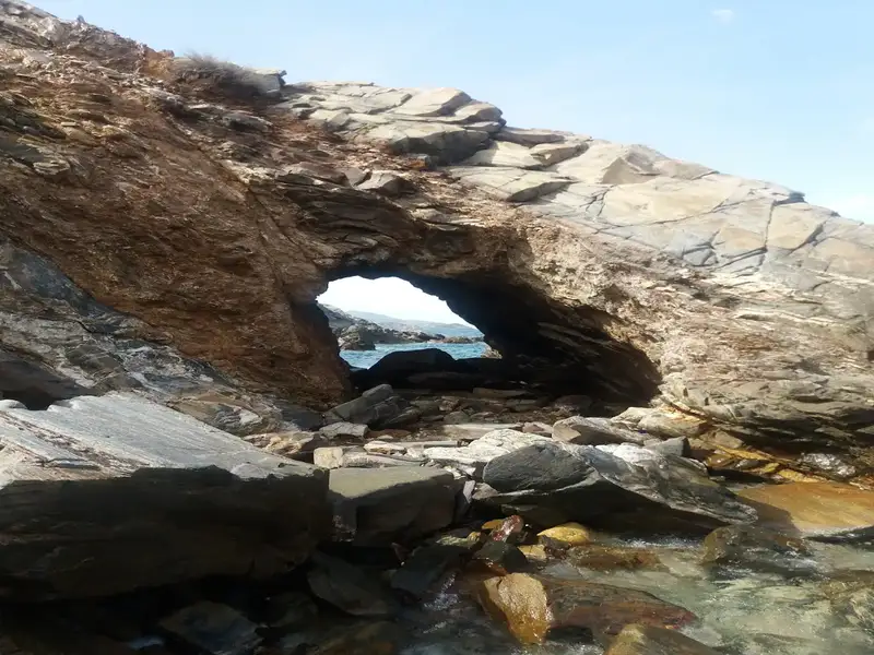
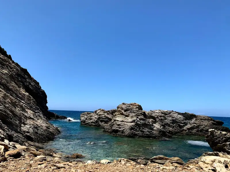
Between the coast of Panagia Charakiani and Kefali hill, where archaeological remnants have been found, lies the region of Propatoumenos, just a short distance west of Holy 317 Fathers Church. Propatoumenos translates to “the area that can be walked”. This is because there used to be a walking trail to the ancient town of Astali, near Bali. Given that the surrounding Talean mountains are incredibly steep and difficult to traverse, this area was perfect for walking. This broader area is rich in unexcavated Minoan settlements, most of which have been left to the mercy of roaming goats. Within this region, we encounter three remote pebbly beaches with pristine waters, situated just a stone’s throw away from the highway. The seabed, teeming with rocks, conglomerate formations and natural arches, is an ideal spot for snorkelling. Across the beaches, the small islet of Prassonissi, home to seagulls, can be accessed by swimming.
Kefala Beach
Tucked away to the east of Panagia Charakiani, near Bali, is Kefala Beach. This hidden gem, with its crystal clear waters all year round, remains fairly unknown. Although generally inaccessible, the beach unveils a stunning coastline adorned with vibrant hues of red soil and green vegetation from shrubs and wild carob trees during calm weather. Kefala has a charming pebble beach with a rich seabed. Further east, the beaches of Kalo Horafi and Vrahi can be found. Kefala gets its name from the low peak, about 40 meters high, situated just above the sea that once housed an unknown Minoan settlement. The entire area above the beach is scattered with remnants of ancient walls and structures.
Bogazi beach is nestled in a secluded area on the periphery of the Sisses community in the district of Mylopotamos, located in the Talea Range and east of the German outpost at Pyrgos peak. Its remote location makes it only accessible by boat, as the nearby dirt roads are extremely challenging to navigate. Hence, it remains largely undiscovered. A year-round flowing stream lined with plane trees concludes its course at Bogazi. The beach, facing east and flanked by stunning rock formations to the north, is one of the rare wave-free beaches on the northern coastline of Rethymnon.
Charakas is a region situated approximately 36km to the east of Rethymno and 44km to the west of Heraklion, near Bali. Just half a kilometer east of the Panagia Charakiani Church, a small peninsula forms where the petite beaches of Glaros and Katevati can be found. The major highway that links Heraklion and Rethymno is conveniently close by.
Katevati Beach
Located on the western edge of this peninsula is the small but charming Katevati beach, known for its large pebbles. It boasts spectacular views of the rugged Talean Mountains to the south. Its rocky underbelly makes it an ideal spot for fishing and snorkeling. However, it is unregulated, so visitors are advised to come equipped with necessities such as an umbrella, food, and water. Furthermore, it is shielded from the prevalent northern winds due to its eastern positioning. To the north of the beach, on a hill, there are ruins from an ancient settlement.
Glaros Beach
A short distance to the north of the first beach, accessible via a trail starting north of the highway, are the three beautiful beaches of Glaros (also referred to as Glaria or Peristeri) which face west. The beach gets its name from the small, greenish islet of Glaros that’s separated from the shore by a very narrow canal (less than 2m in width). While the shore is sandy, the seabed is rocky, making it an ideal spot for solitude seekers and snorkeling enthusiasts. The northernmost beach, which can be reached by crossing a hill with a Minoan settlement, is considered the most beautiful.
Charakiani Beach
Situated below the Panagia Charakiani Church is a beach with large, round pebbles that attract snorkelers and spearfishermen. This beach can be easily accessed by following a trail that starts from the church. It is easily identifiable by a small islet located directly opposite the beach.
The secluded Pera Galini bay, positioned 48km east of Rethymno and 39km west of Heraklion, is found near the village of Sisses. Most locals on Crete associate the name “Pera Galini” with the local garbage disposal facility that caters to the waste of Heraklion city. The presence of a nearby beach, although significantly degraded by the adjacent landfill, is known to only a handful of people.
Two nearby beaches can be accessed through a poorly maintained dirt road originating from the highway near Sisses. These beaches, while secluded and exposed to northern winds, occasionally host swimmers from the local area. Notwithstanding the rocky terrain, the beaches are sandy. The sea was heavily polluted years ago due to the nearby disposal centre, but recent improvements to the landfill have restored cleanliness and made the waters somewhat safe for swimming.
At the east end of the longest beach, the small cape of Kefali is found. There you will find the ruins of a Minoan settlement believed to have been a significant port in the area. Ongoing excavations, marked by plastic covers that resemble greenhouses, have unearthed a sanctuary. It is believed that an earthquake was the cause of the settlement’s ruin.
Near the beach, the remnants of an old monastery dedicated to Saint Anthony can also be found. Only the chapel of the once-thriving religious center remains. It’s speculated that the monastery was abandoned during the Venetian era due to relentless pirate attacks. The monastery is situated near a picturesque river lined with platan trees. However, the water is polluted due to its proximity to the landfill.
The secluded bay of Korakia is located 48km east of Rethymno and 39km west of Heraklion, near the village Sisses and close to Fodele beach. There are three adjacent beaches, which are mainly sandy with large pebbles in places, open to northwest winds. The beaches are secluded and almost unknown to everybody. Korakia is totally unorganized, thus you should have anything you need with you. However, the seawater has been significantly degraded, due to the north winds that carry rubbish and because of the nearby landfill of Heraklion city.
The area is a candidate for the construction of the new Power Station of Crete, but this has raised many arguments against this by ecologists. In order to access Korakia from Fodele, you should take the highway to Rethymno and turn right 1km after Fodele, on a very bad dirt track that leads to the beach after 1.5km.
Bali Beaches, Crete: A Guide to All Four Coves is located 7.8 km away.
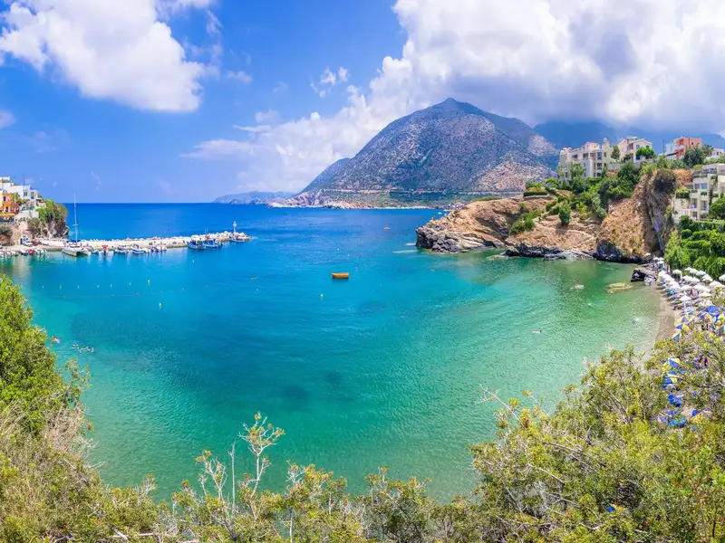
Bali has 4 beaches, each set in its own sandy cove with clear, greenish water: Livadi, Varkotopos, Limani (Harbor), and Karavostasis. The resort sits in a wide bay 30km east of Rethymno and 43km west of Heraklion, and the bay faces west, so the sea stays calm and family-friendly. The four coves sit within a short distance of each other along the same shoreline, so on most days you can walk between them and pick the one that suits you.
Bali is a coastal resort built around a series of small bays on the north coast of Crete. The National Road that connects Heraklion and Rethymno runs alongside the village, so you can reach it easily from anywhere on the island. It suits family getaways and quieter, romantic trips in equal measure. The water here runs cooler than at many Cretan beaches because springs around the bay channel fresh water into the sea from the Psiloritis Range, and the west-facing bay keeps the four coves sheltered, calm, and well suited to children.
Use the guide below to choose your cove, then read the practical notes on facilities and getting there.
The Four Beaches at a Glance
The four coves and who each one suits are compared in the table below.
Beach
Character
Best for
Livadi
Longest beach; open bay, more exposed to wind; lively
Space, easy access, first stop in the village
Varkotopos
Secluded bay; sand and gravel; shallow water
Young children, families
Limani (Harbor)
Beside the port; restaurants and shops
Eating out, a swim near the harbor
Karavostasis
Smallest and prettiest; can feel crowded
A scenic swim, photos
Livadi Beach
Livadi is the first beach you reach as you enter the village, and it is the longest in the area. It sits in an open bay that is more exposed to wind than the other three coves, so it can be breezier on gusty days. The beach is well-organized and often busy, though it is less picturesque than the others. The name Livadi means “meadows” and comes from the nearby valley. At its eastern end you will find two separate smaller beaches, known as Kouskouras.
What it’s like: Long, open sandy stretch; livelier and more exposed to wind than the other coves.
Who it suits: Anyone who wants room to spread out and the easiest beach to find on arrival.
How to reach it: It is the first cove as you enter Bali from the National Road.
Varkotopos Beach
Varkotopos lies at the center of the village in a secluded bay. The beach is a mix of sand and gravel, well-organized, and popular. The water is shallow, which makes it a good choice for young children, and it sits close to all the amenities you are likely to need.
What it’s like: A sheltered cove with sand and gravel and shallow, calm water.
Who it suits: Families with young children who want shallow water and nearby facilities.
How to reach it: It is at the village center, a short way on from Livadi.
Limani (Harbor) Beach
Limani (Harbor) Beach sits further north, on a clean stretch of shore right beside the scenic port of Bali. Known in Greek as Limani, meaning “harbor,” it is well-organized and surrounded by restaurants and shops, so it is an easy spot to combine a swim with lunch or a coffee by the water.
What it’s like: A tidy beach next to the harbor, ringed by tavernas and shops.
Who it suits: Anyone who wants to eat, drink, and swim in the same place.
How to reach it: Continue north through the village toward the port.
Karavostasis Beach
Karavostasis is the last beach you reach and the most beautiful in the area. It is smaller than the other bays, so it can look crowded when it fills up. It is well-organized, though a little less so than the other three.
What it’s like: The prettiest and smallest of the four coves; fills up quickly.
Who it suits: Those after the best-looking swim who don’t mind a smaller, busier cove.
How to reach it: It is the furthest of the four coves along the shoreline.
Facilities at Bali’s Beaches
Bali’s coves are organized beaches. Across the resort, the beaches generally offer the facilities listed below.
Sunbeds and umbrellas
Food and drink, with tavernas, restaurants, and shops (most concentrated around the harbor at Limani)
Showers
Water sports
Lifeguard cover
Bus services and paved-road access to the village
Family-friendly, sheltered water
Facilities vary from cove to cove and by season, so it is worth checking on the day.
Getting to Bali and Around the Coves
Bali sits directly off the National Road between Heraklion and Rethymno, which makes it straightforward to reach from either city or from the airports. The village is compact and the four coves lie close together, so once you arrive you can move between Livadi, Varkotopos, Limani, and Karavostasis on foot.
If you want the freedom to visit more than one cove in a day, or to combine Bali with other beaches and villages along the north coast, having your own vehicle helps. You can compare options through the site’s car rental listings.
Frequently Asked Questions
Where is Bali located in Crete?
Bali is a seaside resort 30km east of Rethymno and 43km west of Heraklion, reached easily via the National Road that connects the two cities.
How many beaches does Bali have?
Bali has 4 beaches, each in its own sandy cove: Livadi, Varkotopos, Limani (Harbor), and Karavostasis. Two smaller beaches, Kouskouras, sit at the eastern end of Livadi.
Which Bali beach is best for young children?
Varkotopos suits young children well, thanks to its shallow water, secluded bay, and nearby amenities. The west-facing bay keeps all four coves calm and family-friendly.
Which is the prettiest beach in Bali?
Karavostasis is the most beautiful of the four. Because it is the smallest, it can feel crowded when busy.
Why is the water at Bali cooler than at other Cretan beaches?
Springs around the bay channel fresh water into the sea from the Psiloritis Range, which keeps the water cooler.
Which Bali beach is the longest?
Livadi is the longest beach in the area. It sits in an open bay that is more exposed to wind than the other three coves.
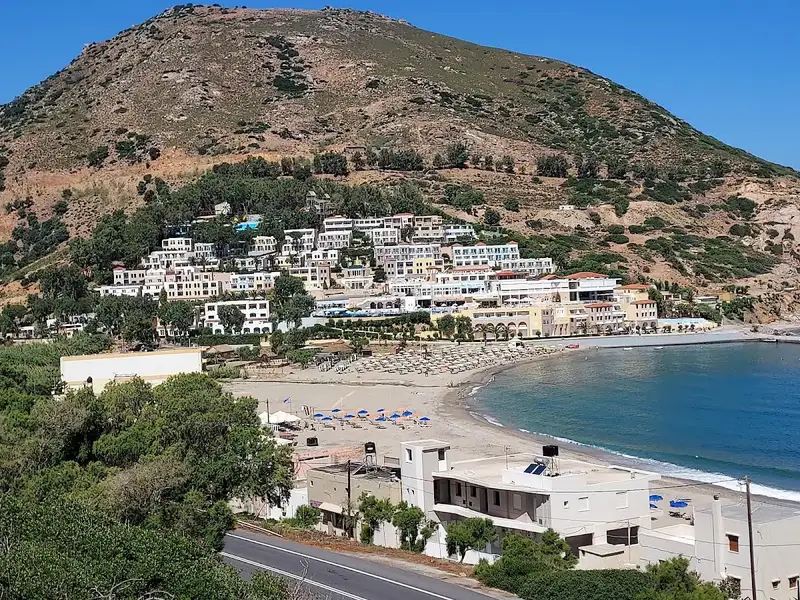
Situated 26km northwest of Heraklion, Fodele beach is just a short 3km journey north from the village of Fodele, the suspected birthplace of famed painter Domenikos Theotokopoulos, or El Greco. The National Road, linking Heraklion and Chania, runs parallel to the beach, offering easy access. This sandy beach is open to the north winds and is flanked by Cape Stavros on the east and Kastellos hill on the west. Atop Kastellos hill, one can find the remnants of the old fort, Kastelos. The beach itself is formed at the mouth of the river Pantomantris or Fodelianos.
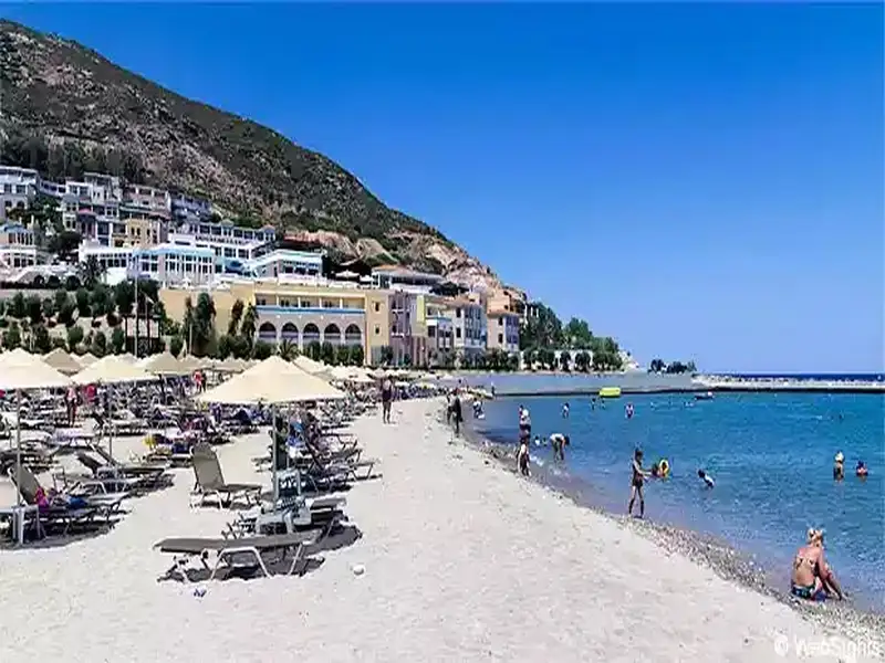
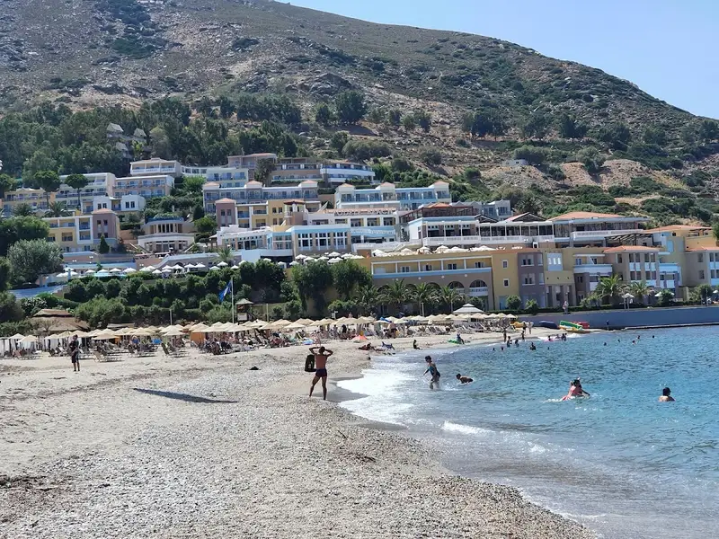
The western section of the beach is meticulously maintained and comes equipped with sun umbrellas, sun beds, showers, water sports, cafes and taverns. You can spot a large hotel on the west slope of Kastellos hill, with a small pier in front of it that provides protection to swimmers. The eastern part of the beach, near the local gas station, is less developed and exposed to the north winds.
Visitors can pair their beach day with a trip to the picturesque village of Fodele, nestled in a verdant valley along the banks of the river Pantomantris. The village, located on the site of the ancient city Pantomatri, was named after its first inhabitant. The valley is renowned for its citrus trees, especially oranges and lemons. Numerous taverns are scattered within the village and along the river, offering traditional cuisine under the cover of towering plane trees. It’s worth exploring the village streets and visiting the local churches of St. George and the Assumption. Just outside the village, you’ll find the churches of Annunciation, All Saints, St. George, St. John and Virgin Mary.
Fodele is known as the birthplace of El Greco, the most celebrated figure of the Cretan School of Iconography. El Greco spent his early years in Crete before relocating to Italy, where he worked alongside Titian. His later years were spent in Toledo, Spain, where he passed away. His artwork exhibits a fusion of Byzantine and ancient Greek influences with Renaissance art. The house he grew up in, positioned 1km southwest of the village at Skotini, is well preserved and functions as an El Greco museum housing replicas of his work. Nearby, the ancient church of Panagia (Virgin Mary) is a worthwhile visit. It’s believed that this church greatly inspired the artist. Lastly, an exhibition showcasing El Greco’s original and reconstructed works, along with items from the movie “El Greco”, has been on display at the Bethlehem Gate of the Venetian Walls of Heraklion city since 2009.
Agios Nikolaos beach at Bali is located 9.2 km away.
The beach of Agios Nikolaos, situated slightly west of Bali in the province of Mylopotamos, is nestled in a secluded area. The beach’s name is derived from the Byzantine two-nave church of Saint Nicholas, which is positioned within a lush green creek leading to a stunning cove. Despite the ravine drying out towards the end of spring, the presence of numerous plane trees indicates the existence of water.
The cove is encased by striking limestone rocks that create small caves, adding to the charm of Agios Nikolaos. The beach, however, has a rocky seabed and is almost semicircular in shape. Unfortunately, it is often littered with trash brought in by the north winds.
Access to Agios Nikolaos beach is via two poorly maintained dirt roads that start near the motorway, beyond Bali. One of these routes, which first ascends to the antennas at Bombadopirgos peak before descending to the beach, is closed off. The other route approaches the beach from the east, but due to its poor condition, a walk of roughly 10 minutes is required.