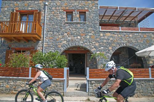
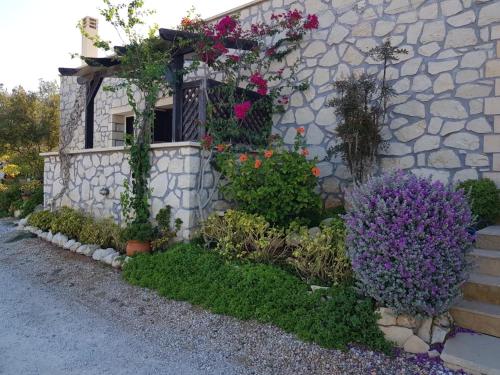
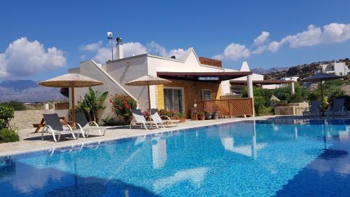
Situated in Makry Gialos, 100 metres from Koutsounari Beach and 200 metres from Staousa Beach, ISALO Villa offers a garden and air conditioning. This beachfront property offers access to a balcony, free private parking and free WiFi.
The holiday home with a terrace and sea views has 2 bedrooms, a living room, a flat-screen TV, an equipped kitchen with an oven and a toaster, and 1 bathroom with a shower. Towels and bed linen are available in the holiday home.
The holiday home offers a barbecue. A an indoor play area is also available for guests at ISALO Villa.
Anaskelou Beach is 400 metres from the accommodation. The nearest airport is Sitia Public Airport, 37 km from ISALO Villa.
Kalo Nero, Lasithi, Crete, 72059 1st Floor
No results available
Find below list of things to do near ISALO Villa:
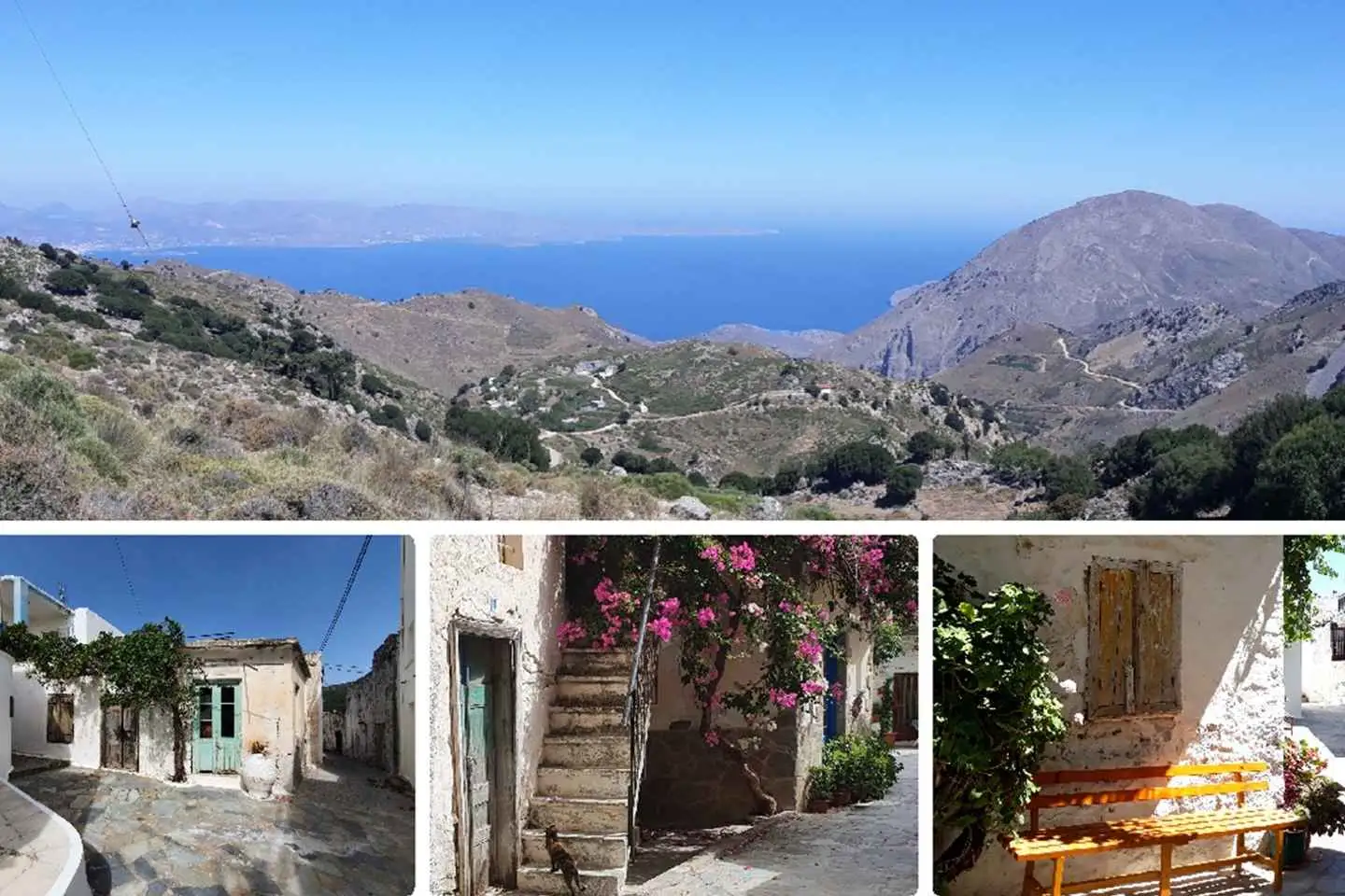
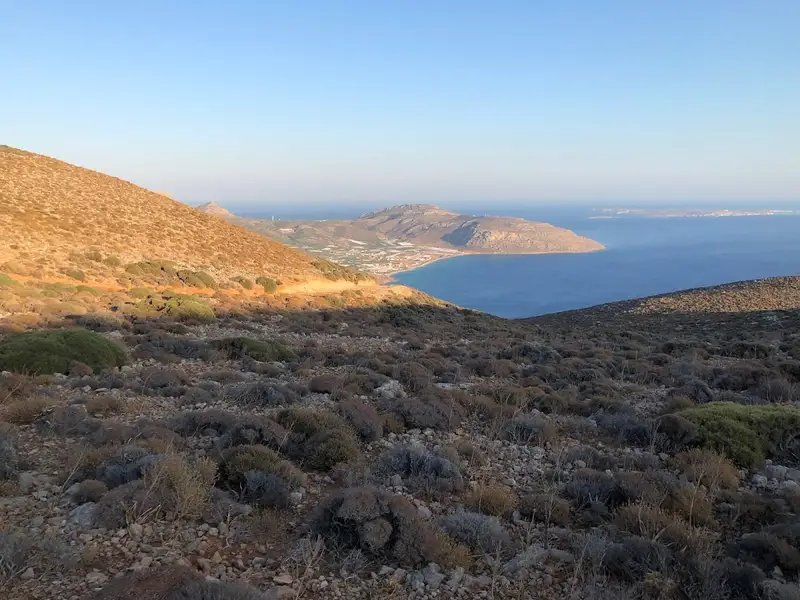
Enjoy the unforgettable panoramic view over the entire north-east coast of Crete. In the mountains, it smells of the most aromatic herbs that will be shown and explained to you. Our adventure will take you to the rustic mountain village “Stavrohori”. There will be time to stroll around, visit the old church and sit down to savour a refreshment. Your tour guide, who has lived in Crete for the past 33 years, will share with you some Greek secrets with pleasure as well as some little anecdotes.
Nature lovers will experience the ultimate adventure wrapped into a half day excursion!
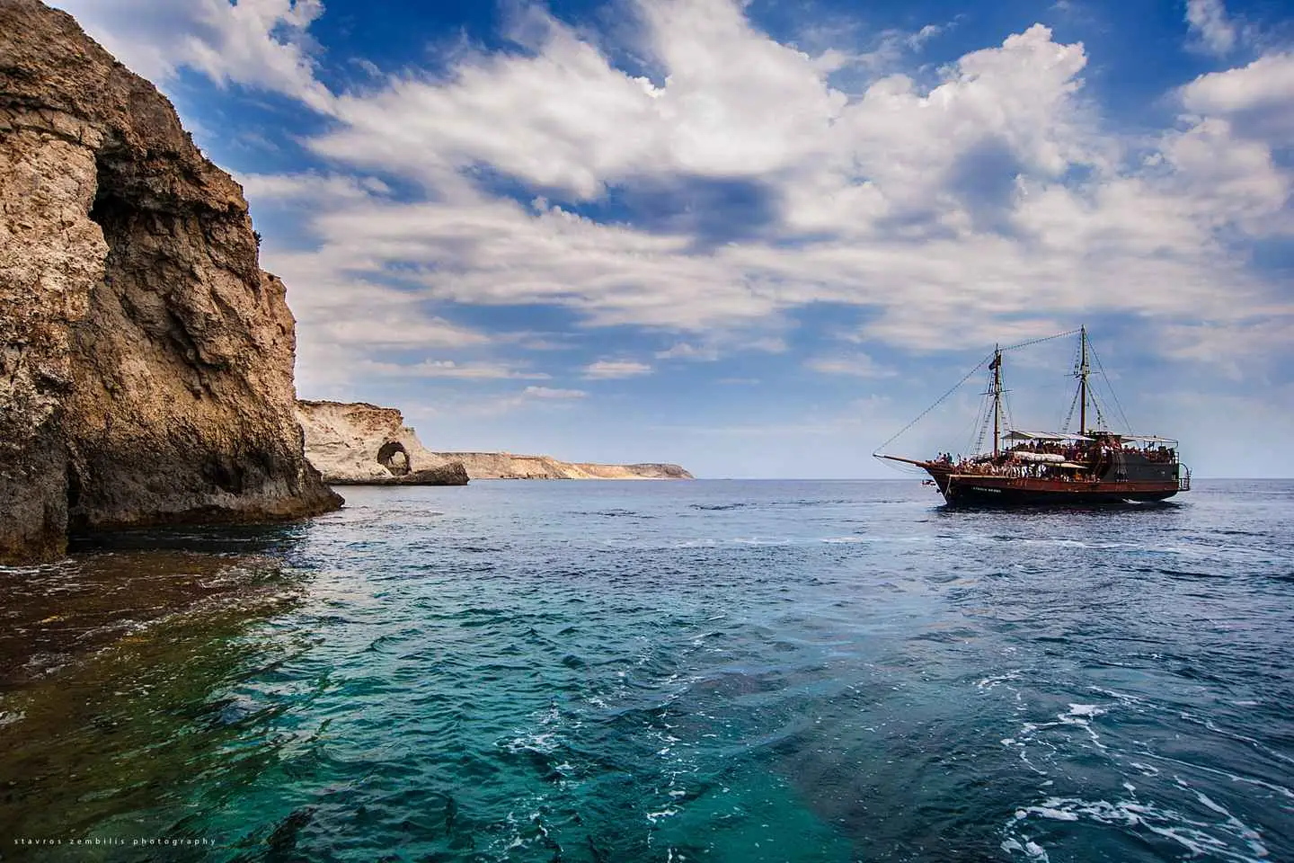
After arrival by bus in Makris Gialos to the southern coast of Crete, the boat trip begins with on the pirate ship “Eydokia” to Koufonisi. The trip through the crystal clear waters of the Libyan Sea takes about an hour. Approaching the island admire the views of caves and the steep cliffs.
The island is surrounded by 36 fantastic beaches and a walk around the island gives you the opportunity to enjoy the tranquility of the countryside, the emerald waters, and the fine golden sand.
The self-service bar is open throughout the cruise so you can enjoy lunch, snacks, salads, and drinks.
No results available
Find below list of beaches near ISALO Villa:
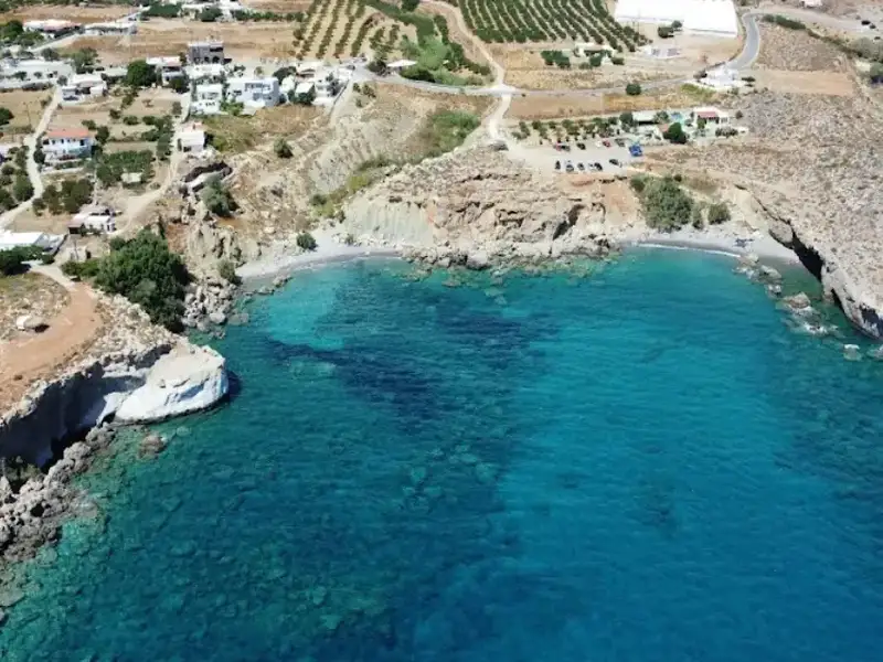


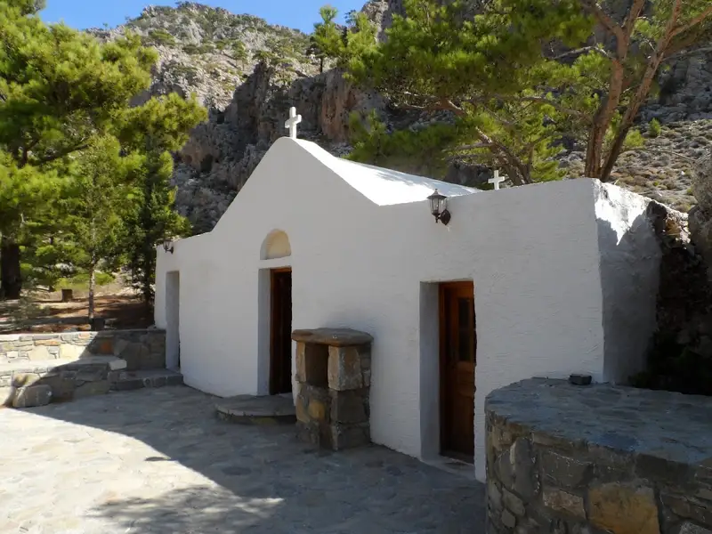
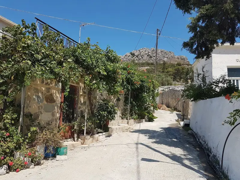
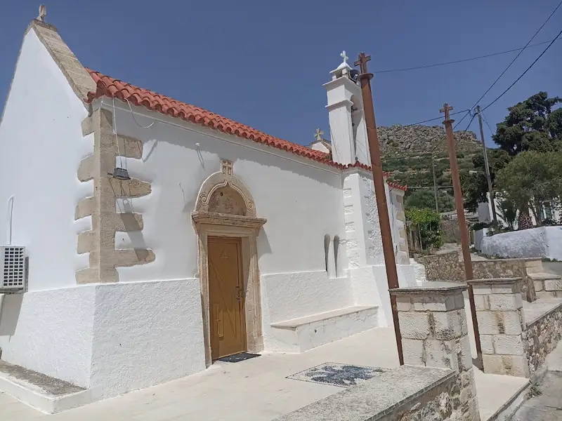
Kalo Nero, a small village nestled in one of eastern Crete’s most rugged terrains, is situated near Kapsa Monastery, 68 km south of Agios Nikolaos and 33 km east of Ierapetra. This village is positioned at the exit point of a rocky canyon. You’ll find the Panagia church (1881) here, built by the Pervolakia village residents for their winter stay when they brought their livestock for grazing. This church was built over an older chapel from 1461, which belonged to Kapsa Monastery.
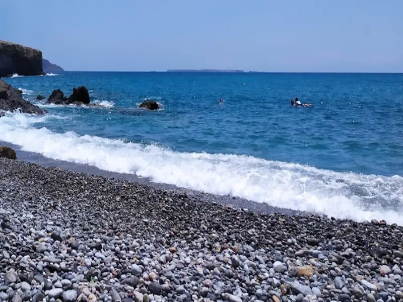
The village is home to numerous freshwater springs, hence its name Kalo Nero, meaning Good Water; quite unusual for such a dry region. This place offers three secluded beaches perfect for a quiet swim. The first beach, Koutsounari (not to be confused with the Koutsounari near Agios Ioannis), is accessible by a short trail. This isolated beach has pebbles and clear water, with large rocks scattered on the seabed in certain areas.
Staousa, the main beach, is separated from Koutsounari by a few rocks. It’s a beautiful spot with fine pebbles and turquoise waters, its highlight being a large cave on the east side that’s on the verge of collapse. Fresh water drips from the cave walls, and access to this beach is simplified by a concrete path with stairs built by locals.
The third beach, Angelou, primarily serves as a local boat harbour, safeguarded from southwesterly winds. It’s a serene spot with small pebbles and rocks on the seabed. The rugged mountainous backdrop perfectly complements the picturesque boats and the blue sea’s hues.
Just 150m west of Kalo Nero lies the small Lygidi settlement at the cape of the same name, surrounded by small olive groves. A narrow bay with a western orientation is formed at the exit of a small stream. This bay hosts the lesser-known rocky beach, Mikro Limanaki (Little Harbour), which is easily accessible but hidden from the main road’s view.
You can reach Kalo Nero from Makrigialos via the road leading to Goudouras. Alternatively, there is a bus service from Ierapetra to Goudouras; however, do check the bus timings.
Ammoudi, situated 66km southeast from Agios Nikolaos and 29km east from Ierapetra, lies adjacent to the thoroughfare linking Makrigialos to Goudouras. The prominent beach in this vicinity, known as Spilia Drakou (Dragon’s Cave), owes its name to a massive cave situated 500m north of the beach and the identically named tavern next to it. Two additional secluded coves lie to the west of Dragon’s Cave beach, accessible either on foot or via a dirt track.
The beaches, hidden jewels not easily visible from the road, boast beautiful golden sand. To find the beach, you must halt upon spotting the Dragon’s Cave tavern and tread the narrow path leading to the sea, a short 3-minute walk. The secluded area is a perfect spot for families, however, it is not suitable for naturism as many locals frequent this place with their families. For more seclusion, you could stroll to the nearby coves to the west. The beaches are encompassed by towering cliffs and smooth white limestone rocks, with sandy seabeds.
In the absence of a car, you could avail the bus service that runs between Ierapetra and Goudouras, keeping in mind that the frequency of buses is not high. Therefore, ensure you are well-versed with the exact routes before embarking on your journey.
The cliffs in the area offer healthful clay that can be mixed with water and applied to the skin, serving as a natural spa when left to dry.
The Kapsas Monastery, an ancient religious site, is situated 37km southwest of Sitia and 32km east of Ierapetra, nestled between Makrigialos and Goudouras. It is perched on the cliffs close to the mouth of the majestic Pervolakia Gorge. The monastery can be accessed via the paved road connecting Makrigialos and Goudouras, with infrequent bus services also available from Ierapetra.
A secluded beach, characterized by its crystal-clear blue waters and large round pebbles, lies at the exit of the canyon. Despite its proximity to the road, the beach is isolated, offering the shade of several tamarisk trees. However, nudism is not allowed, and any attempt may invite trouble from the monks. The unique charm of this location lies in swimming amid the raw Cretan landscape, with its rugged rocks and caves.
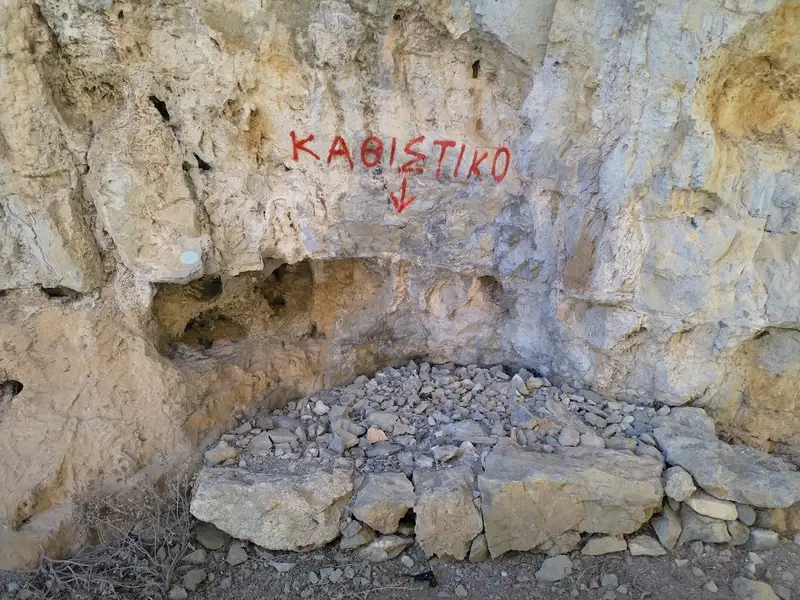
Originating from the 13th century, the monastery was initially established by hermits, only to be ravaged by pirates in 1471. It was later reclaimed by the locals, including a certain Giovanni Capsas. Presently, it operates under the aegis of the Toplou Monastery and is devoted to the “Beheading of John the Baptist”, with celebrations held every year on August 29th. Legend has it that the holy man Iosif Georgoulakis, also known as Gerontogiannis, who was believed to perform miracles, once resided in a cave near the monastery.
Venture from Makrigialos towards Goudouras, and post Lagada, take a right onto a dirt path that guides you to the greenhouses located on the petite peninsula at the eastern extremity of the bay. Continue along this path, past the greenhouses, to discover the secluded pebbly beach of Spilia, home to a small cave. This spot is typically deserted, though unfortunately, streams often carry litter here. Proceeding westward along the road, you’ll soon reach the remote sandy beach of Psalidia, named after the Greek word for scissors, a reference to the bay’s shape. The surrounding landscape is arid, dotted with low sand dunes and shrubs. However, come September, it transforms into a haven of white sand daffodils. Furthermore, a coastal walk from Psalidia to Lagada rewards you with spectacular rock formations, perfect for photography.
No results available
Find below list of gorges near ISALO Villa:
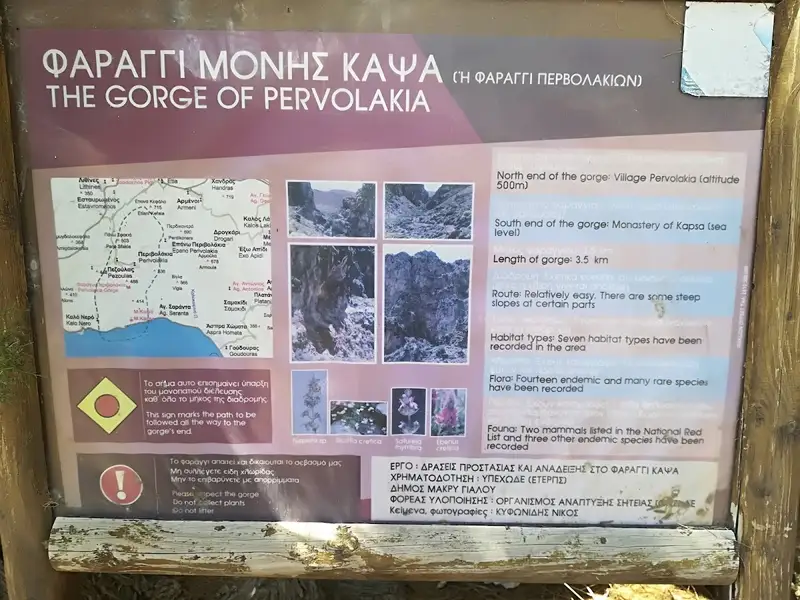
The Kapsas gorge, a wild and majestic natural wonder, is situated 8-9km to the east of Makrigialos and 33km to the east of Ierapetra. It is also known as Pervolakia, named after the charming and remote village located near its northern entrance. While in the area, it’s worth taking a stroll through the neighboring traditional village of Pezoulas, known for its stunning houses. The gorge concludes by the Kapsa Monastery, opening up to the Libyan Sea. Here, visitors can enjoy a peaceful swim on the serene pebbly beach, just opposite the gorge’s end.
The gorge spans approximately 4km, and hiking through it is a moderately challenging task. The trek takes around 2 hours if you decide to start from the southern end (the Monastery) and head towards Perivolakia. However, if you opt for the less strenuous route, descending from Perivolakia to Kapsa Monastery, it takes roughly 1.5 hours.
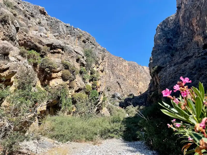
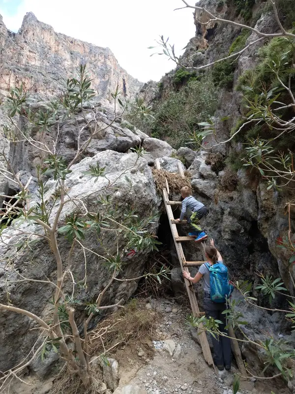
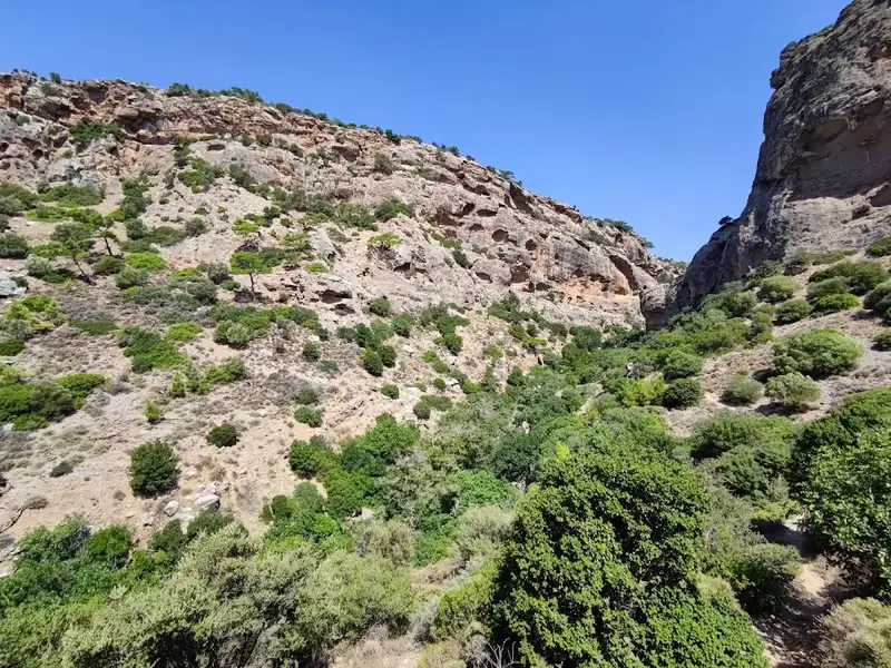
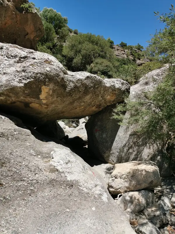
The gorge’s interior is a sight to behold, characterized by towering walls and sparse vegetation, giving it a desolate and arid appearance. The trail features several climbing points and signposts. The road that links Makrigialos and Goudouras runs adjacent to the gorge’s exit, near the Monastery. Public transportation is available, with buses running between Goudouras and Ierapetra. Alternatively, you can drive to Pervolakia or Kapsa Monastery and then hail a taxi in Makrigialos to return to your vehicle.
The gorge is also a habitat for one of the rarest plant species in Crete, the Limonium of Cornaros (limonium cornarianum). This plant is found only in certain limestone maritime rocks within the gorge and a tiny islet named Agia Fotia.
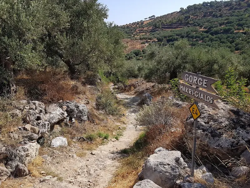
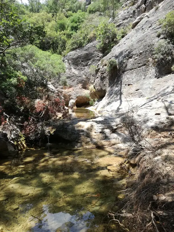
The Pefki Gorge, also known as Anegyrous Gorge, is a stunning small gorge located in East Crete. Its beauty is characterized by breathtaking rock formations molded by nature and lush greenery. The gorge extends for approximately 4.5 km, with an elevation difference of 300 meters between the entrance and exit. The gorge begins south of Pefki village and concludes at the Aspros Potamos settlement, 2km north of Makrigialos. The stream running through the gorge collects water from the area south of the Romanati peak (937m) and carries it to the Analipsi beach. The gorge features a well-defined path that traces the riverbed for most of its length. At certain points, benches are available for rest. A 2-hour journey through the gorge is part of the E4 European long-distance path.
The Journey
The journey through the gorge commences slightly south of Pefki, where the familiar black and yellow E4 signs direct you to the entrance, adjacent to the old Ilias water mill (1925). From here, an easy path skirts the edges of the canyon before descending to the river bed at the heart of the gorge. The canyon is vibrant with pine trees, while the riverbed is predominantly surrounded by platans and herbs. Spectacular white rock formations, unique to Crete and over 100 meters tall, flank the sides of the canyon.
Upon reaching the southern exit of the gorge, you’ll find a spring of clean, drinkable water for refreshment. The gorge’s exit is located in the Pisokaminos area, near the Aspros Potamos village, rather than by the sea. Further along, you’ll encounter the remarkable large rock known as Volakas Sarakinou (Saracen’s rock). Legend has it that a Saracen pirate once took refuge here after being left behind in Crete. The rock is covered in small pebbles, believed to be the remnants of an old children’s game. The kids would throw stones at Volakas, and if a stone stayed on the rock, they would find food at home. If not, they wouldn’t. Following Aspros Potamos village, you’ll reach the main road connecting Makrigialos and Pefki. If no one is waiting to pick you up by car, you’ll need to walk the remaining 2km to Makrigialos.
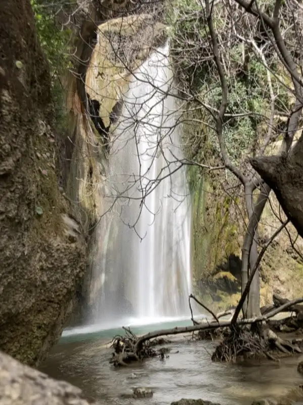
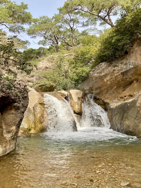
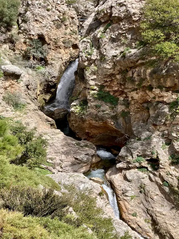
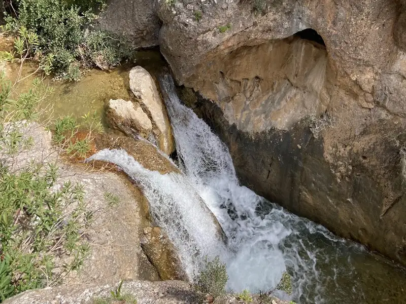
In the vicinity of the verdant and water-rich springs of Orino village, we encounter one of Crete’s most precipitous rivers. The river’s sources are found high up on the Abelia plateau, nestled within the Thripti and Papouri mountains. These springs quickly form a river which traverses the village square before making its way into the rugged Orino canyon. To navigate the canyon along the riverbed, canyoneering gear is necessary. The river carves out stunning waterfalls and pools, with the final section being particularly breathtaking. The last trio of waterfalls at Peristerionas are among Crete’s most beautiful. The river’s water volume is also noteworthy, particularly in the typically dry region of East Crete. Even in the summer, the gorge maintains a steady water flow.
The river continues its journey downstream, passing through the Red Butterflies canyon before reaching Koutsouras beach. Despite suffering considerable damage in a 1993 fire, the gorge’s vegetation remains lush, serving as a green oasis in the warm eastern Crete. The gorge begins near the exit of the Orino Gorge and concludes at Koutsouras after a 3-4 hour walk (starting from Orino village and circumventing the wilder parts of the Orino gorge). Signposts along the route guide the way. At the route’s commencement, there are a few small springs and waterfalls which dry up during the summer. Winter, however, makes hiking in the gorge quite challenging. The gorge earns its name from the red butterflies that flutter amongst the bushes and flowers, creating a truly unique spectacle. Regrettably, their numbers have significantly dwindled in the aftermath of the fire.
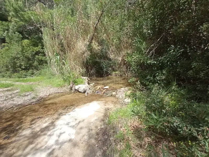
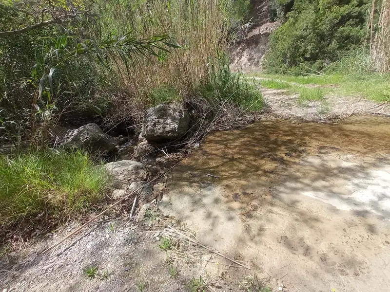
Commencing from the west of the village of Skinokapsala, at the Kipos spot, lies the petite yet fairly broad Ahlia gorge. This gorge, blanketed by pine trees, concludes at the Ahlia beach, also referred to as Galini. Throughout the winter season, the Thripti Range feeds a river with its waters, creating a string of waterfalls that vary in height from 5 to 8 meters. The gorge’s sandstone walls are wide enough to make hiking a breeze, eliminating the need for any canyoning gear.
No results available
© All rights reserved. Crete Locals