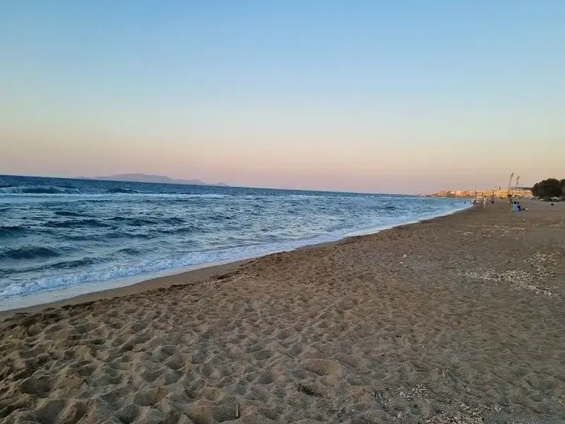
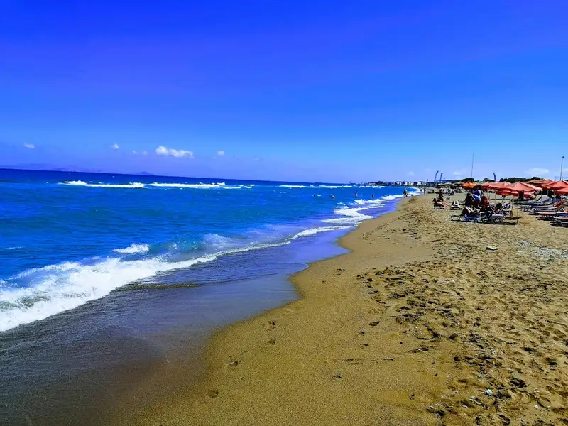
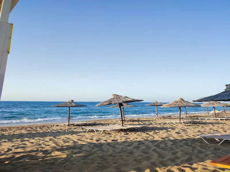
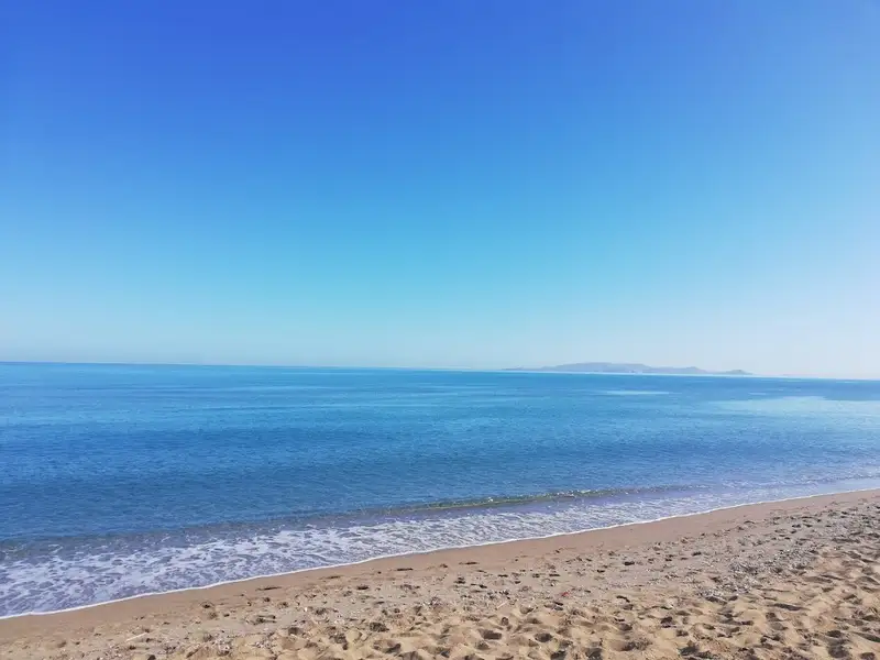
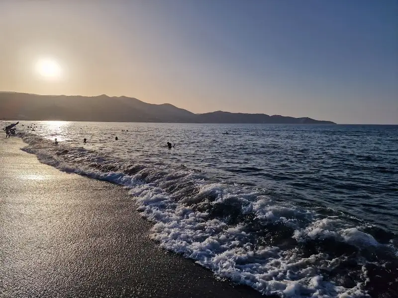
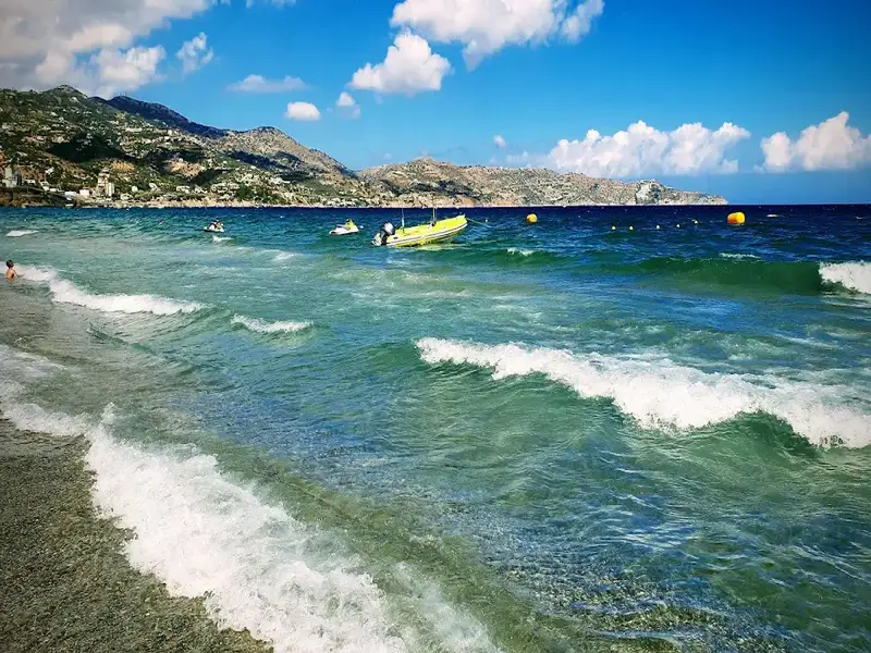
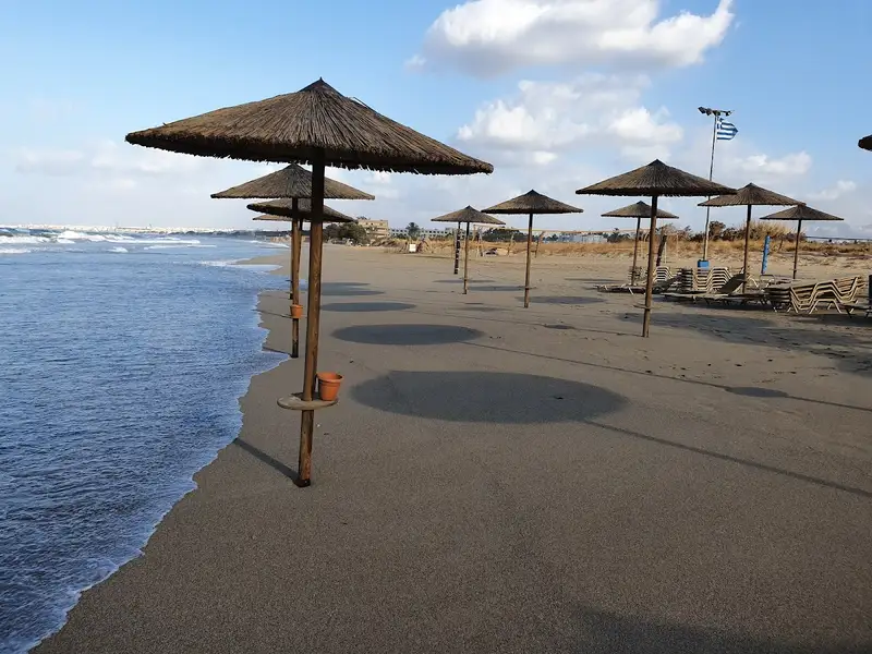
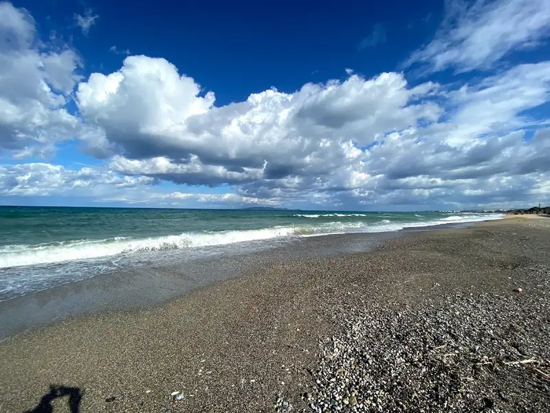
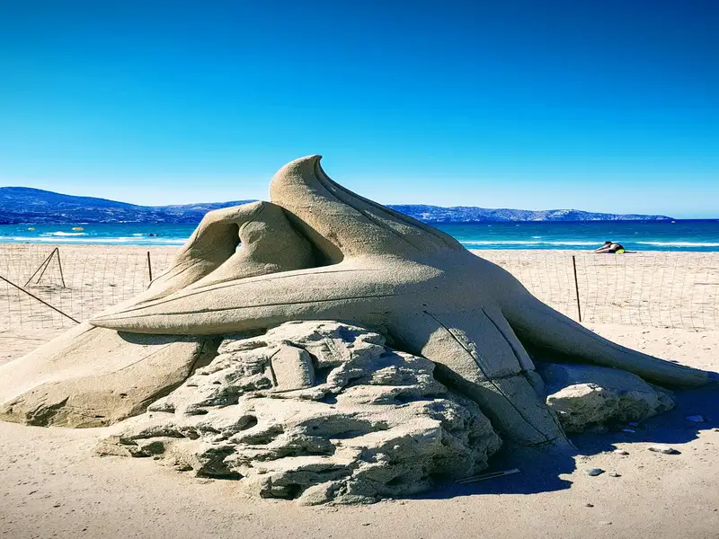
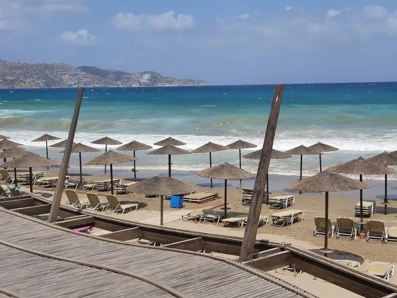
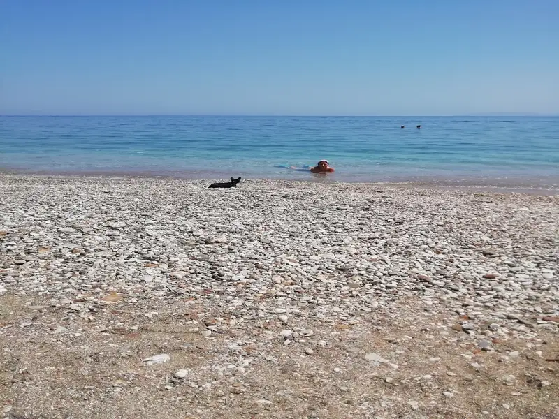
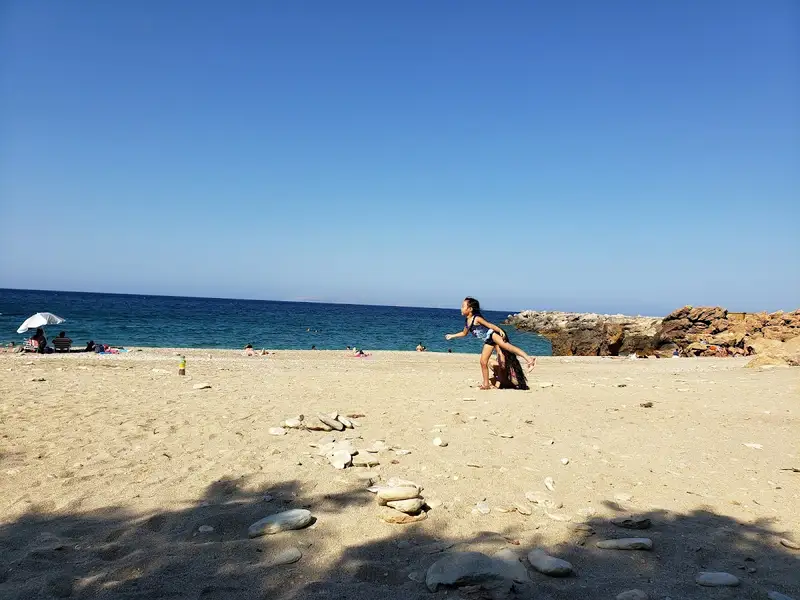
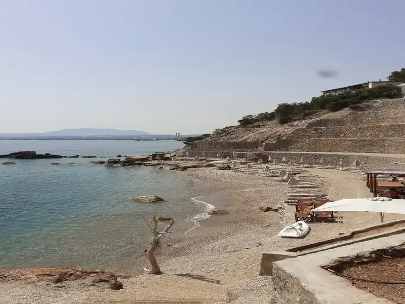
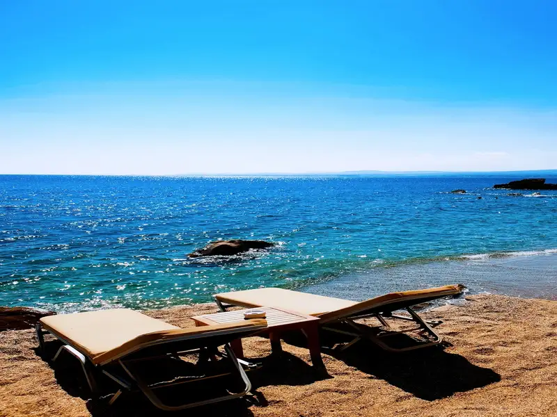
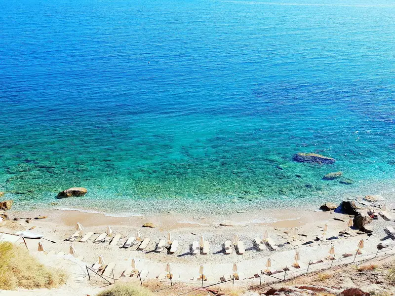
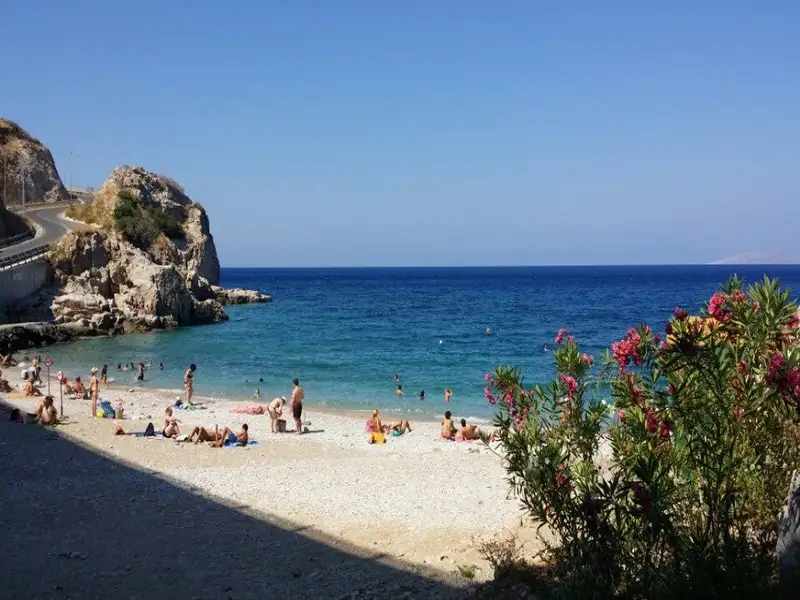
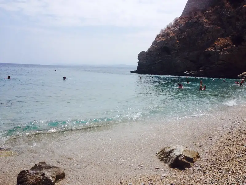
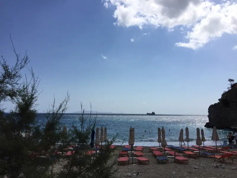
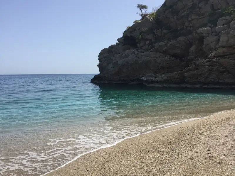
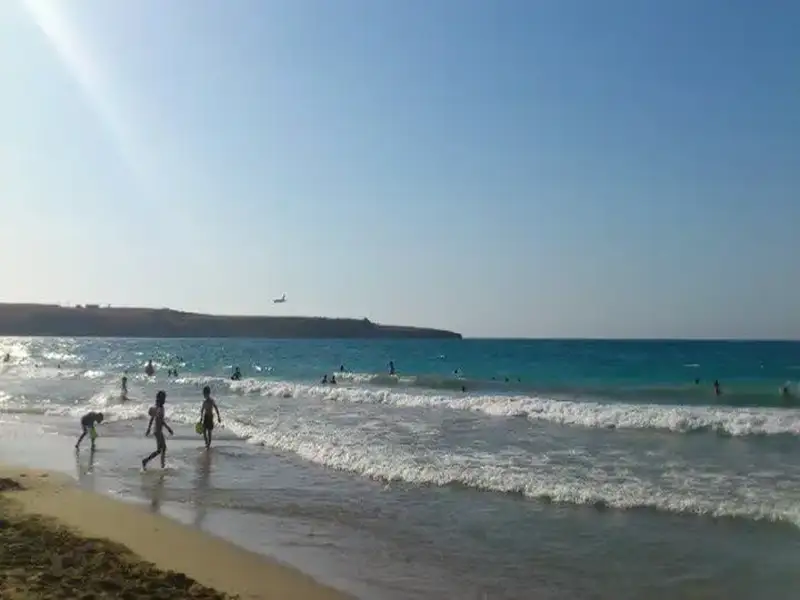
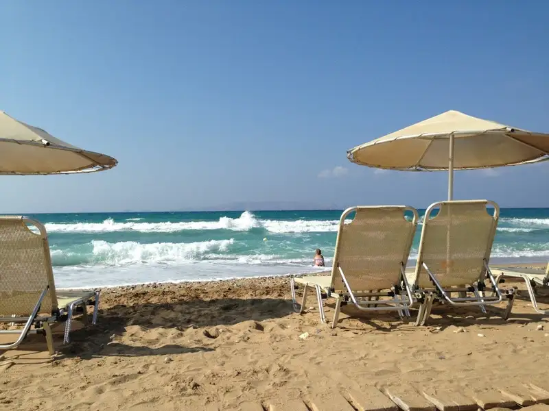
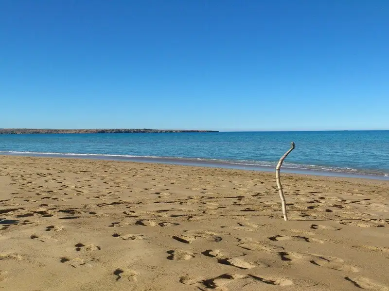
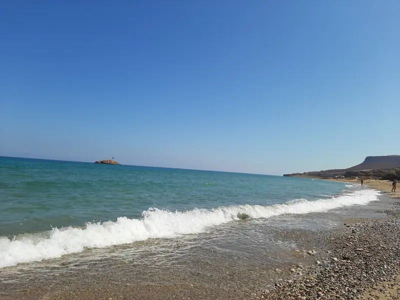
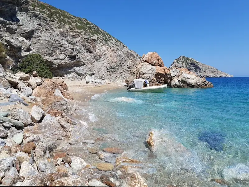
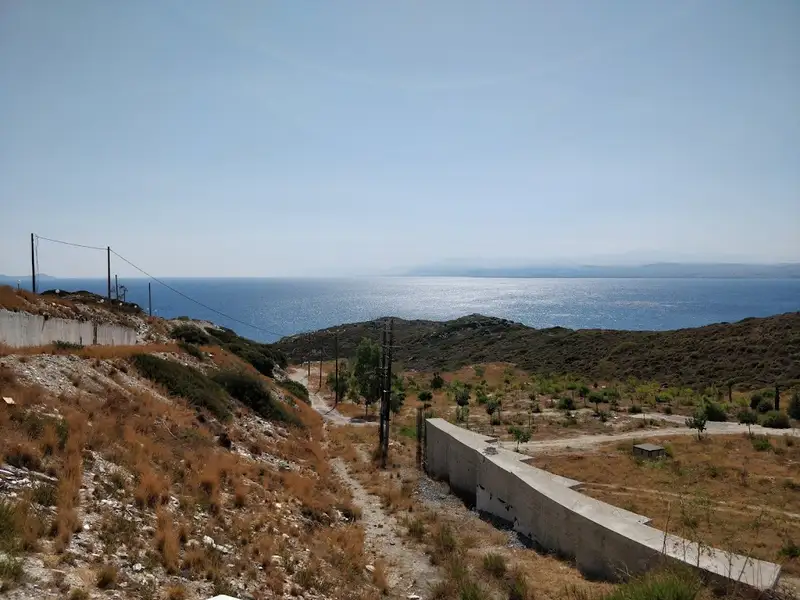
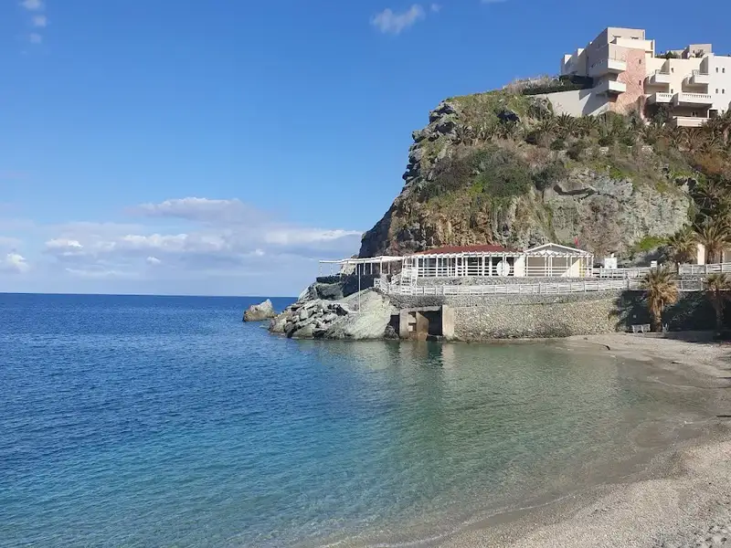
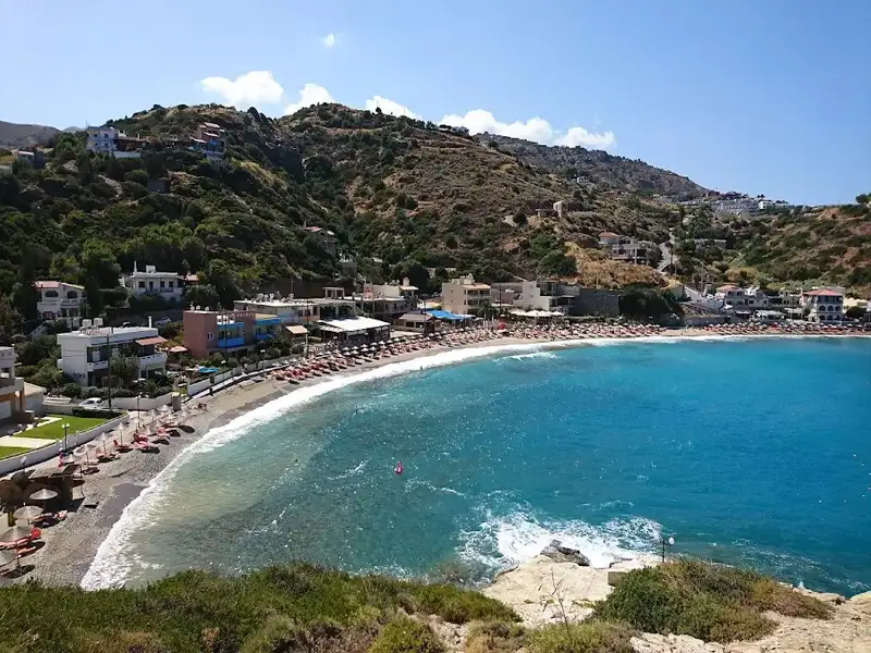
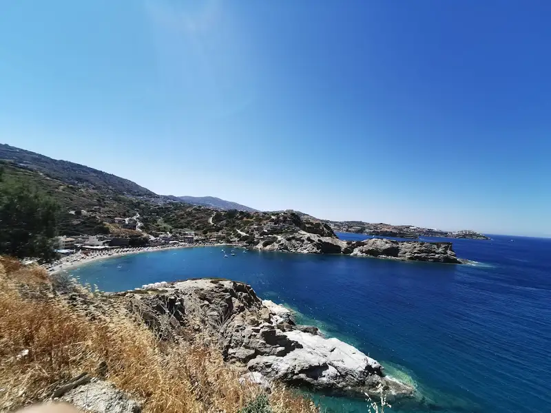
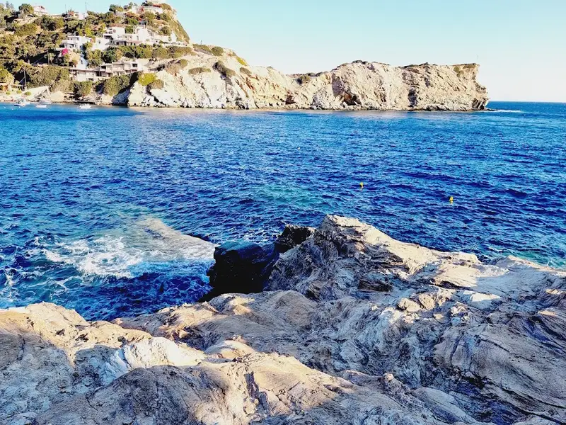
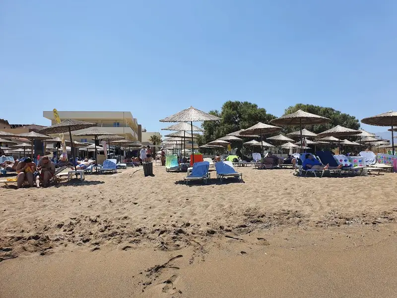
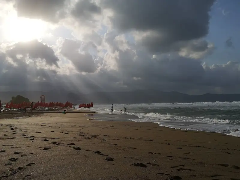
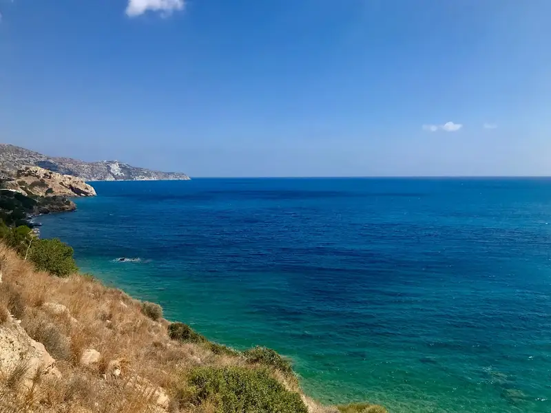
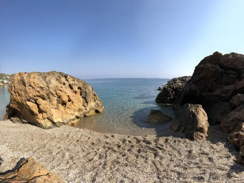
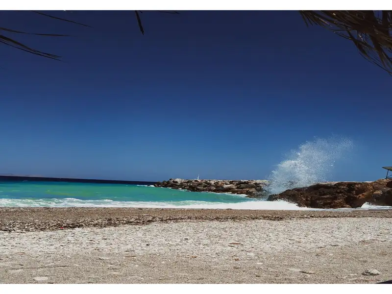
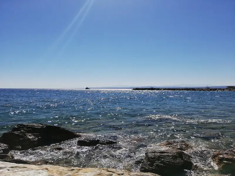
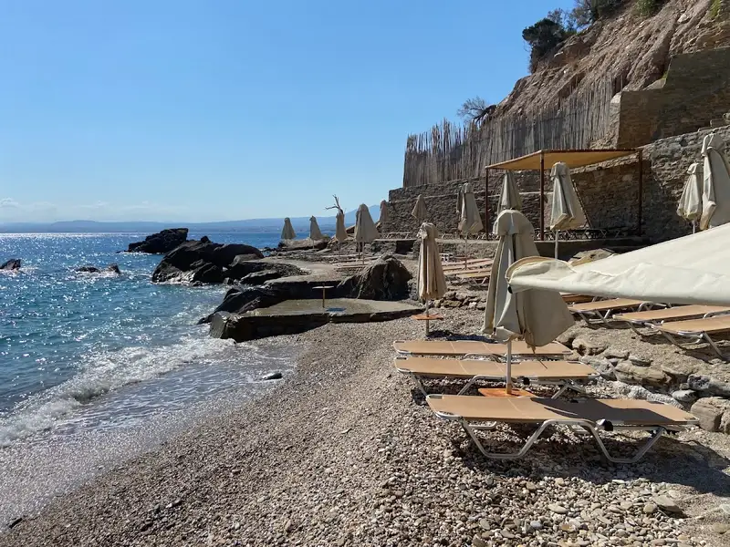
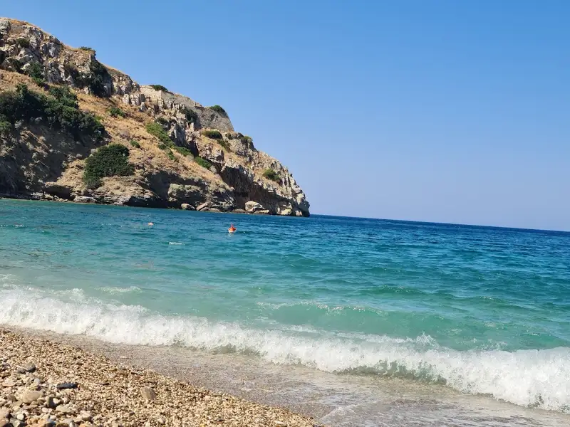
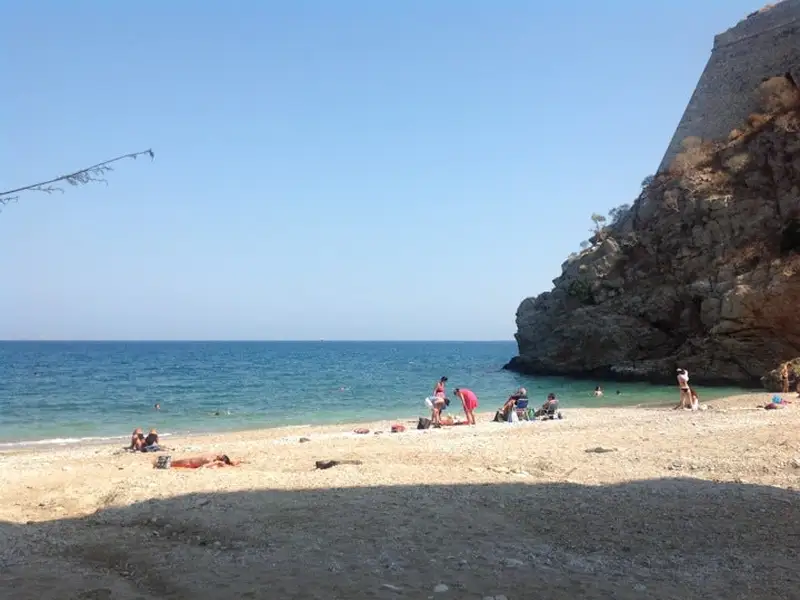
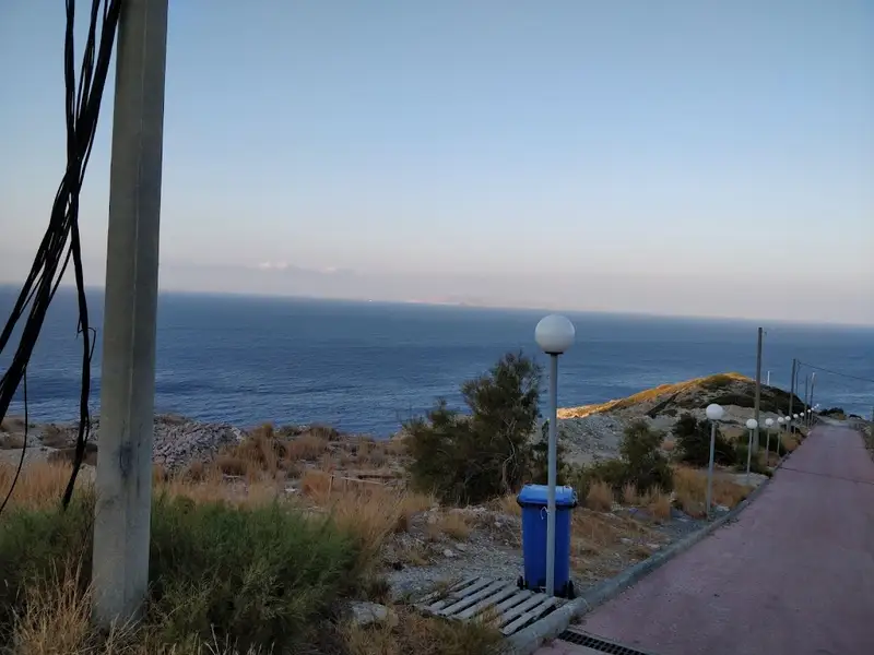
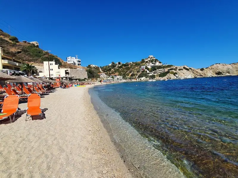
Ammoudara is a 7 km organized sandy beach that begins about 1 km west of Heraklion’s centre and runs west toward the mouth of the Almiros river. Ammoudara pairs long stretches of fine brown sand and shallow blue water with sunbeds, beach bars and water sports, so it suits both a busy family beach day and a quiet swim near the dunes. The beach starts at the Giofyros river mouth by the Pancretan Stadium, and a low rock strip about 50 m inland marks where the ancient shoreline once stood.
Ammoudara is one of the longest beaches in the Heraklion area, which is why it can feel busy and lively in one stretch and almost empty in the next. The sand is fine and brownish, the water is blue and shallow close to shore, and the sea often turns choppy when the wind picks up. Now effectively a suburb of Heraklion, the beach draws thousands of visitors each summer because it is close to the city yet still has open sand and dunes at its western end.
The organized sections of Ammoudara offer sunbeds, umbrellas, beach bars, lifeguards, showers and changing rooms, and several stretches carry a Blue Flag for water quality and safety. Because the beach is exposed to steady north winds, it is a popular spot for windsurfing and kitesurfing, and local schools rent equipment and give lessons. Visitors also find jet ski hire, parasailing, and snorkeling or diving and boat trips along the coast. Tavernas, cafes and beach bars line much of the front, so food, coffee and evening drinks are within a short walk of the sand.
For a calmer swim, head to the western part of the beach, which runs from the Pancretan Stadium toward the Xeropotamos wetland and its dunes. The river mouths of the Almiros and Gazanos, together with the Ellinoperamata area, stay quiet because they are protected natural spots rather than organized plazas. Just inland lies the Almiros spring, the largest water source in Crete, which feeds the most extensive wetland habitat in the area. Walkers can follow the easy Almiros gorge or climb Stroumboulas, the volcano-like mountain that rises over Heraklion, and from the western end the coastline continues toward Ellinoperamata beach.
Take Heraklion city bus line 6 from the centre, or drive the coastal road west, to reach Ammoudara in a few minutes. Heraklion International Airport sits about 9 km east, so a taxi or transfer from arrivals is short. Parking is available on the side streets near the beach, though it fills up on peak summer days. Renting a car is the simplest way to reach both the organized front and the quieter western spots, which you can arrange through Crete Locals car rental.
Ammoudara beach is on the north coast of Crete, starting about 1 km west of Heraklion’s centre and running roughly 7 km west toward the Almiros river. It lies in the Gazi area of the Malevizi municipal unit, so the city and the beach almost merge.
Take Heraklion city bus line 6 from the centre, or drive the coastal road west. Heraklion International Airport is about 9 km away, a short taxi or transfer ride to the beach.
Yes, the shallow, gently shelving water near the shore suits families with children. Lifeguards, showers, changing rooms and beach bars along the organized sections add to the convenience for a day out with kids.
Windsurfing and kitesurfing are the signature activities, thanks to the beach’s steady north winds. Jet ski hire, parasailing, and snorkeling or diving and boat trips are also offered along the coast.
Yes, several organized stretches of Ammoudara carry a Blue Flag for water quality and safety. The water is generally clean and blue, and it is shallow near the shore.
Ammoudara has fine, brownish sand along its full length. A low rock strip about 50 m inland marks the ancient shoreline behind the modern beach.
Yes, Ammoudara is known for steady winds and can get wavy, which makes it a favourite for windsurfers and kitesurfers. On calmer days the same open water is fine for swimming.
The best time to visit is summer, from June to September, when the sea is warm and the organized beach is in full swing. For fewer crowds, choose late spring or early autumn, or use the quieter western end near the wetland and dunes.
Yes, you can park on the side streets near the beach, and some hotels offer parking. Spaces fill up quickly on peak summer days, so arriving early helps.
Nearby you can visit the Palace of Knossos, Heraklion’s old town and Venetian walls, and the Cretaquarium. Closer to the beach, the Almiros gorge gives an easy walk and Stroumboulas mountain offers a longer hike.
No, this Ammoudara is the long organized beach west of Heraklion, not the smaller Ammoudara beach near Agios Nikolaos in Lasithi. The two beaches share a name but sit at opposite ends of the north coast.
Situated 8km west of Heraklion city, Linoperamata, also known as Ellinoperamata, is a scenic sandy beach stretching up to 7km long, beginning from Linoperamata and culminating at the Pancretan Stadium, 1km west of Heraklion. The beach is uniquely bordered by the Almiros river in the west.
The locals do not frequent Linoperamata as much due to the presence of a local Power Station and heavy industries in its western region. Nevertheless, the beach boasts of clean water and a serene atmosphere. Unlike the highly organized beaches in the neighboring Ammoudara, Linoperamata has a more natural appeal, although there are a few hotels in the vicinity.
Open to the northern winds, the beach is often wavy, making it a favorite among windsurfers. Getting to Linoperamata from Heraklion is convenient via the city’s bus service.
Pantanassa, situated 12km west of Heraklion, is named after the Monastery of Panagia Pantanassa, which is dedicated to the Virgin Mary. The beach lies adjacent to the quaint port of Pantanassa. Prior to the establishment of the port, Pantanassa boasted an enchanting beach, concealed by a small pine forest and possessing crystal-clear waters. Now, the beach has been divided by the port, causing Pantanasa beach to lose some of its former allure. Nonetheless, it still retains its beauty, featuring pebbles and clear waters.
The beach offers amenities such as umbrellas and sunbeds, and some pine trees still grace the nearby cliffs. A pathway from the port allows for easy access. If hunger strikes, there are eateries in the port of Pantanassa and nearby areas. Visitors can combine their beach visit with a trip to the Pantanassa Monastery, perched atop the pine-covered hill above the beach. Built in the mid-20th century, it was envisioned to serve as a charity monastery, but the founder, Nikolaos Xenos, passed away before realizing his dream. Today, the monastery functions as a nunnery.
The Lefkadia area lies to the west of Pantanassa beach. Here, two secluded bays, largely unknown to most Heraklion residents, provide an ideal spot for relaxation. Recently, a beach bar was established and a trail leading to the beach was opened. Helidoni beach, featuring sandy and pebbly areas with a predominantly rocky seabed, is perfect for snorkeling. The western view is captivating, with the ruins of the old Paliokastro castle visible. Visitors can park in the nearby small pine grove and hike up to the castle.
Contrary to the prevailing belief that Crete’s scenic beaches are situated in remote areas far from major cities, those familiar with the island know that hidden gems are scattered across every corner. One such paradise is the Helidoni (Swallow) beach, just a stone’s throw from the historical Paliokastro fort in Rogdia near Heraklion. This haven is just a five-minute drive from the outskirts of Heraklion.
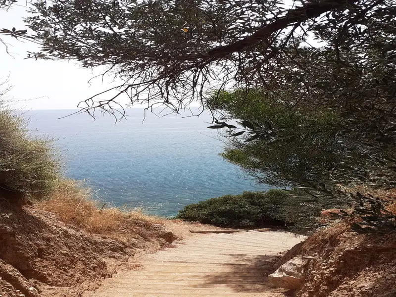
The beach known as Helidoni or Porto Helidoni is situated just south of Paliokastro and is nestled beneath the highway. A staircase with wooden steps descends to the sea level. The beach stands out for its cleanliness and the crystal-clear water that brings to mind the best beaches of southern Crete. The beach is oriented towards the east and, as a result, is typically calm, much like other beaches stretching from Ellinoperamata to Frankia. It is a quaint beach with a blend of fine pebbles and sand in certain spots. The seabed is quite rocky, making it perfect for snorkelling. There’s also a small canteen on the beach. Its name, Helidoni, is derived from the swarms of swallows that flock to this area annually.
Just a few meters east of the main Helidoni beach, another small sandy beach can be found, surrounded by picturesque rocks. This beach can only be reached by traversing the rocky coastline from Helidoni, lending it a tranquil atmosphere. There are stairs leading to the beach, but they pass through private properties, making them inaccessible to visitors.
Situated 14km to the west of Heraklion, Paliokastro, also known as Paleokastro, can be found on the western coastline of the Bay of Heraklion. This charming pebble beach is nestled into a green valley’s exit, which is intersected by streams flowing down from the Rogdia village. The cove of Paliokastro is securely flanked by tall cliffs and faces the east. A massive limestone rock towers over the eastern part of the beach, the summit of which was once the site of the Venetian fortress of Paliokastro. This fortress served as a defensive structure against enemy invasions to the Bay of Heraklion. The castle remnants suggest that it was constructed on the acropolis of the ancient town of Kytaeon.
Paliokastro is a beloved destination for the locals of Heraklion, who visit daily with their families. It has even led many to purchase homes in the area. Although not highly developed, the beach offers an idyllic setting for relaxation. Traditional food can be savored at various taverns, and several small hotels and rooms are available for stay. A mini market is also present on the beach, opposite an old limekiln, which is one of Crete’s best-preserved structures of its kind.
The beach’s western part boasts large pebbles and deep waters, making it a perfect spot for fishing and snorkeling. Natural stair formations on the rocks beneath the old fort provide a thrilling diving experience, with heights ranging from 1 to 20 meters. This spot is often frequented by children competing in diving contests. A tall, narrow, and dark cave is nestled between the beach and the rocks. Local folklore suggests this cave might have been a tunnel leading from the fortress to the sea, serving as an emergency escape route, although this remains unconfirmed. Paliokastro is easily reachable through the Heraklion-Chania highway, with a dedicated exit leading to the beach.
Karteros beach is a wide, fine-sand bay on the north coast of Crete, about 7 km east of Heraklion and right beside the island’s airport. The bay stretches roughly 3 km east from the mouth of the Karteros Gorge and takes in two neighbourhoods, Karteros and Amnissos, which have grown together as the area developed. Its name honours the Byzantine general Krateros, who landed here in 824 AD in a failed attempt to free Crete from the Saracens.
The sand is fine and golden, mixed with a little pebble in places, and the water is shallow with almost no rocks. The bay faces the open sea and catches the northern winds, so the surface is often wavy, especially towards the eastern end. Those same winds make Karteros a popular spot for windsurfing. The shallow, gently deepening water suits children and families, and lifeguards watch the organised stretches in season.
You will find tavernas, cafes, and beach bars along the shore, together with umbrellas and sunbeds on the organised sections. A paved road and a city bus from Heraklion reach the beach, and there is a parking area by the shore, so getting here without a car is straightforward. Off the bay lies the small rocky islet of Monochorako, close enough for confident swimmers to reach from the sand.
The quietest part of the bay is Florida, at the western end next to Heraklion’s Nikos Kazantzakis airport. Here the Karteros River flows out of the gorge and forms a small seasonal wetland that dries up in summer, and there are fewer umbrellas and facilities than further east. The wetland is easiest to see in spring, before the summer heat dries it out. While you are at this end, look for the small church of St John and St Nikon, built inside a cave in the rock face across the old national road. Do not be surprised to see horses on the sand here either, as the Heraklion Riding Club brings them down to the beach.
A rental car makes it easy to combine Karteros with the beaches and sites further east along the coast. Compare options for your trip on the Crete car rental page.
Karteros beach is on the north coast of Crete, about 7 km east of Heraklion and directly east of the island’s airport. The bay stretches around 3 km and includes the Karteros and Amnissos neighbourhoods.
A paved road links Karteros beach to Heraklion, and a city bus serves the area, so you can reach it with or without a car. There is a parking area next to the shore for visitors who drive.
Yes. The water is shallow and deepens gently with few rocks, which suits children, and lifeguards watch the organised stretches in season. The sea is often wavy because the bay faces the northern winds, so keep an eye on the conditions and any warning signs.
The bay is exposed to the northern winds and the surface is frequently wavy, most of all towards the eastern end. Calmer conditions are more likely early in the day and on the more sheltered western sections.
The organised sections have umbrellas, sunbeds, showers, and lifeguards in season, with tavernas, cafes, and beach bars along the shore. The western Florida stretch, next to the airport, is quieter and has fewer facilities.
Yes. The steady northern winds make the bay well suited to windsurfing, and water-sports operators work the organised stretches in the summer season.
The beach is named after the Byzantine general Krateros, who landed on the bay in 824 AD to try to free Crete from the Saracens but was defeated. The nearby river and settlement carry the same name.
At the western Florida end, the Karteros River forms a small seasonal wetland, and the cave church of St John and St Nikon sits across the old national road. Off the bay lies the small islet of Monochorako, which strong swimmers can reach, and the eastern Amnissos area continues the same long stretch of sand.
The Panagia’s Fraskia Bay is nestled 24km northwest of Heraklion, on the western fringe of the Heraklion Bay. It is situated at a small valley’s exit, adjacent to the existing private settlement of Theseus. The name, Fraskia, originates from the Cretan term ‘fraski’, a type of jar used as a beehive by the Cretans. The surrounding area abounds in thyme, herbs, and shrubs, making it a perfect spot for beekeeping.
A significant portion of the coastline is peppered with alternating tiny coves of sandy and rocky seafloors, extending southwards to the area known as “The Garden of Priest”. Beyond this area, remarkable caves can be found. The sea, usually calm due to the infrequent eastern winds in northern Crete, was used by the Venetians as a harbour to shield their ships. Particularly on days when the northwest winds prevail, Panagia becomes the preferred choice for Heraklion’s boat owners.
Access to the beach is primarily by boat, with a strenuous path from the Heraklion-Rethymnon highway (before the exit to Ligaria) leading to the bay. A shorter, more accessible path starts from the neighbouring Theseus beach, but entry is restricted as it is private property. The beach is secluded, with no amenities. Sadly, unchecked construction by thoughtless locals has marred the shoreline. These squatters brazenly constructed cement bases on the beach, causing significant damage to the landscape with their refuse.
The beach is named after the Panagia (Virgin Mary) monastery, of which only ruined walls remain. A solitary shrine is the only reminder of a once-existing church. The church continues to celebrate annual festivities, with residents of Rogdia and Achlada villages arriving by boat. A dry creek with dense vegetation lies near the church.
In front of the settlement, there is a deep, pebbly beach with a calm, artificially created sea meant for the residents. The seabed starts shallow but deepens abruptly after a few meters. Umbrellas are provided for the village dwellers. Non-residents or visitors are prohibited from driving cars to the beach and must park near the village exit. A steep 1km walk is required to reach the beach, making the return journey quite exhausting. The beach may not be worth the effort unless permitted by a security guard to drive down. Alternatively, boats from the nearest harbour, Pantanassa, can be used. The deep waters are ideal for fishing, especially for avid snorkelers.
Situated 19km northwest of Heraklion, nestled between the Capes Katarameno to the west and Bourouni of Rogdia to the east, lies Tripiti. This untouched stretch of coastline is north of its namesake settlement and boasts a pebbled shore alongside deep blue waters. Towering cliffs encase it, and to the east, exquisite caves can be found, giving the beach its name, Tripiti, which translates to ‘with holes’. These imposing cliffs contribute to the beach’s seclusion, making it one of the most remote beaches near Heraklion.
It’s worth noting that there is no vehicular access to the beach, evident by the remnants of a road that once led there until 1995. This road was entirely washed away by floods, leaving no trace of even a footpath.
The only drawback of this stunning location is its exposure to the north winds, which occasionally deposit litter along the coast. However, when the sea is tranquil, the beach offers an ideal getaway, particularly for those fortunate enough to own a private boat.
Madé, also known as Madés, is a quaint coastal hamlet situated close to Ligaria, 20km to the northwest of Heraklion and 4km towards the east of Agia Pelagia beach. It can be found near the northernmost fringe of the Gulf of Heraklion, at a site known as Cape Bourouni of Rogdia. To reach this spot from Heraklion, you would have to travel along the highway to Chania and then take the Ligaria / Mades exit. A sign for Madé will appear just 1.5km into this route.
The village overlooks a tiny bay with a pebble beach, enveloped by several rocks and the small settlement of Madé. The local hotel manages this area well, offering both umbrellas and sunbeds to its guests. Nearby, you can find a handful of rooms, a mini-market, a beach bar, and a few taverns. The tranquillity of the beach attracts mostly locals who have constructed their summer homes here. Its rocky seabed teeming with fish makes it a perfect spot for fishing and snorkelling. However, the beach’s northern orientation leaves it susceptible to winds.
The signature feature of Mades is a pair of small islets that lie opposite the western end of the beach, which are perfect for snorkelling. The name ‘Mades’ derives from the Greek verb ‘Mado’, meaning ‘break easily’. It refers to the area’s stones, which are prone to cracking and are highly unstable.
The Ligaria beach, nestled 21km northwest of Heraklion and just 1km east of Agia Pelagia, is shielded by the Bay of Ligaria from the common northwest winds of the region. Not far from here is the Panagia church, a relic from its days as the Panagia Ligariani monastery. The area is named after this monastery, which in turn, derives its name from the abundant osier plant, also known as ‘ligaria’ in Greek, famous for its pliable stems and lovely flowers.
The beach is an enchanting spot with its rough sand and serene, turquoise water. The presence of small boats adds to the charm of the scene. While the eastern part is more exposed to waves and tends to gather more debris, the western side boasts cleaner water and a flat sea. Smooth rocks are found close to the shore except for the western part of Ligaria which has small sandy areas. The beach is well-equipped with facilities like umbrellas, sunbeds, water sports, a diving school, beach bars, restaurants, and accommodations. However, parking can be a challenge, especially on weekends due to the influx of locals.
A trail leading northeast from the west end of the beach takes you to the top of the cape safeguarding Ligaria. Adjacent to this cape lies a secluded little beach named Parasfougario. It has sand and pebbles but is exposed to the wind. A stone pathway starting from a cliffside house leads to this beach, but it is off-limits as it falls under private property.
No results available
No results available
© All rights reserved. Crete Locals