Eastern Crete is the quieter, more traditional half of the island, and it rewards travellers who follow the road east from Heraklion all the way to the far coast. This part of Crete pairs lively north-coast resorts with green inland valleys, mountain plateaus, Minoan palaces, and remote beaches. Until the 1970s the region had no marked trails, so much of the traditional Cretan lifestyle that once covered the whole island still survives here. Caves, canyons, and archaeological sites add to the appeal and make eastern Crete an easy place to combine beach days with day trips.
A full eastern Crete road trip runs from Heraklion east through the resort strip to Agios Nikolaos, out to Spinalonga, up onto the Lasithi Plateau, on to Sitia and the far-eastern sites around Zakros and Vai, then back along the south coast through Ierapetra to Chrissi Island. The route below follows that order, so you can drive it in sequence or pick the stops that suit your trip.
This is a self-drive itinerary. A rental car turns eastern Crete’s scattered villages, gorges, and archaeological sites into a single flexible route, because most of the best stops sit off the main national road and see little public transport.
The first stretch of eastern Crete’s north coast is its busiest resort strip, developed for mass tourism in the 1970s and 1980s. After you leave Heraklion and pass the airport just 5 km away, you enter the area of the big resorts. The New National Road takes you straight through, so take the Old Road if you want to explore the coast more slowly. Not everyone welcomed the way this coast changed when mass tourism arrived.
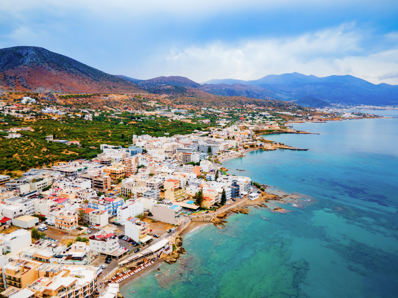
Large hotels and apartment buildings offer thousands of rooms to visitors, mainly from Europe, with menus in English, German, French, and Dutch and satellite TV carrying international channels. At times it is hard to believe you are on a Greek island. For non-stop fun, though, this is the place, with amusement parks, bungee-jumping, carting tracks, bars, and nightclubs all close together.
Hersonissos is the biggest resort in Crete, a large and lively town with something for every taste and budget. Hersonissos can be as quiet or as rowdy as you like. It has 3 main beaches and a long waterfront full of seafood restaurants, bars, and clubs that fills up in the evening.
Malia sits just 40 minutes east of the capital and combines some of the island’s best beaches with water sports, ancient Greek ruins, and natural wonders. Once the sun sets, Malia shifts gear. Its nightlife rivals the likes of Ibiza and suits anyone who wants to relax by day and party into the small hours.
The road from Malia to Neapoli links an open-air folklore museum, the Minoan Palace of Malia, and a historic inland town. On the way to Malia you can stop at the open-air museum Lychnostatis, dedicated to the flora of Crete, folklore, and ethnography.
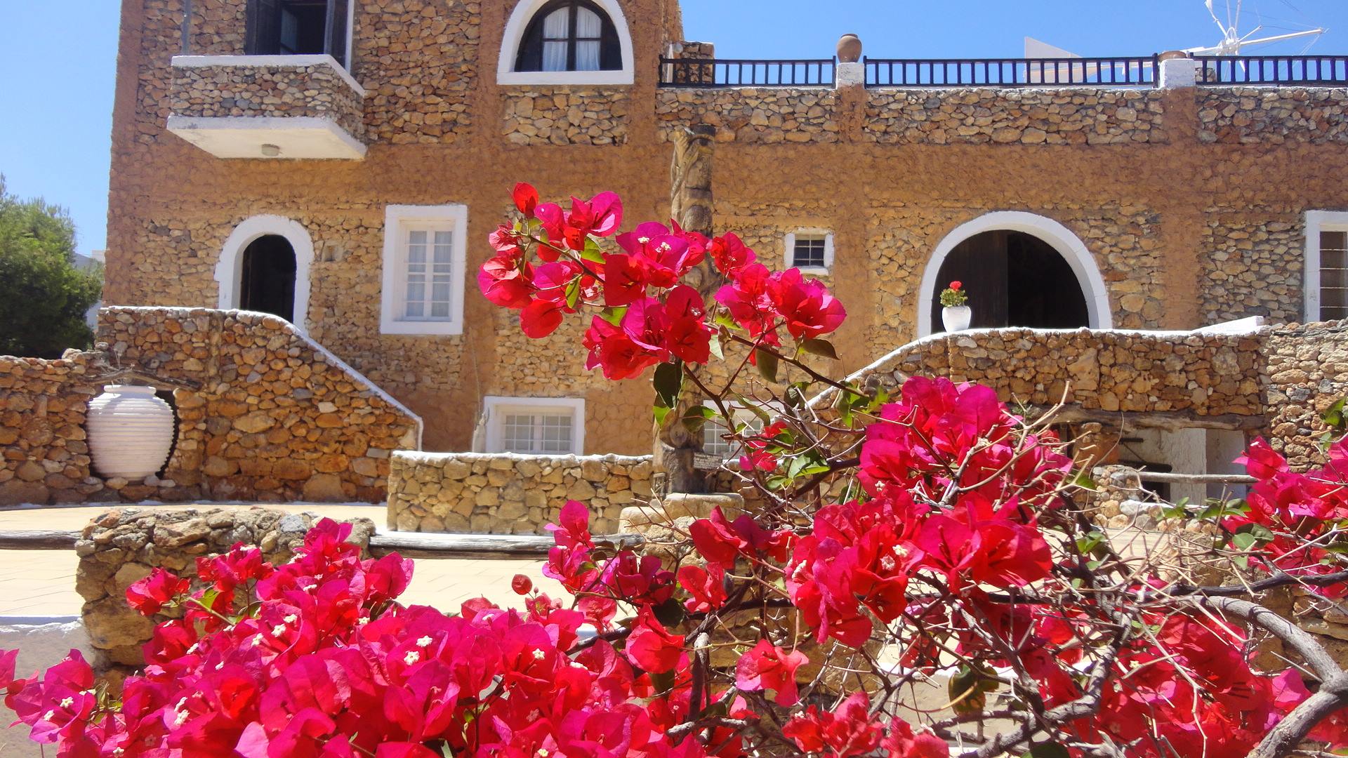
Practical details for Lychnostatis:
The most developed part of the area is Limenas Hersonisou (Hersonissos), although the village of Ano Hersonisos, a little further from the shore, still keeps something of the old atmosphere and a few traditional Greek taverns. Hersonissos competes with Malia for the title of entertainment capital and is known for its beautiful beaches and for the Palace of Malia, which stands near the seafront 2 km east of the town.
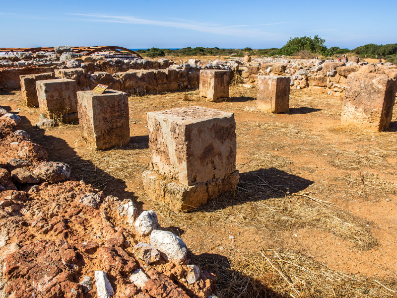
The Palace of Malia is a Minoan palace whose first structure was built after 2000 BC, later than Knossos and Phaistos. Remains around the site point to earlier Neolithic settlements. No Pre-Palatial Kamares pottery has been found here, unlike at several other palaces. The construction was simple, without delicate decorations, and the first palace was destroyed by an earthquake in 1700 BC, scattering more ruins to the northwest of the archaeological site.
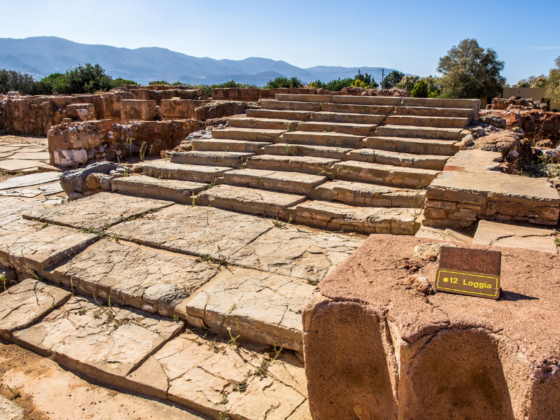
The new palace was arranged around an open central courtyard. Its west wing held mostly storage rooms and rooms for religious monks. In one room, archaeologists found a Pithos (the Greek name for a large storage container) holding a ceremonial dagger and a sword decorated with gold and crystals, which led specialists to identify it as one of the king’s rooms, a place of contemplation or training. Up the stairs is the altar room, where you can still see the base of the table that held the altar.
Further west, an area with a paved floor is thought to be the royal apartment. Here excavators found clay tablets inscribed with hieroglyphs and official seals. A little north of the palace lies the chrysólakkos, or “golden well”, a mausoleum where a gold medallion in the shape of a bee was discovered among other jewels. Archaeologists are still uncovering the city around the palace, beyond its north side, which you can see on a short walk.
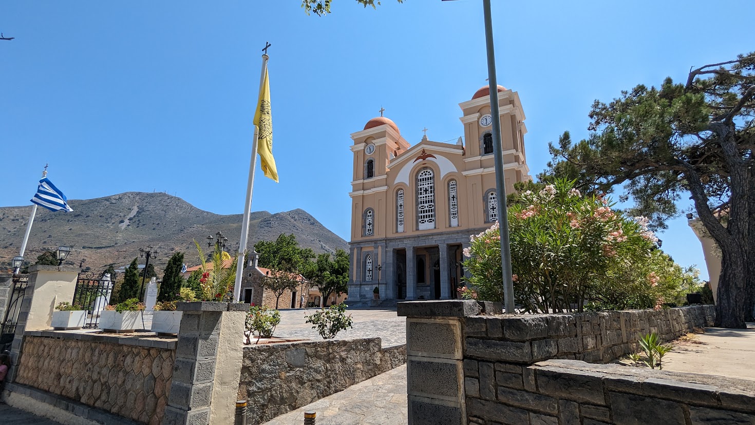
After Malia, the road turns inland and passes through Neapolis, the birthplace of Petros Philargos, who was raised Catholic and became Pope Alexander V in 1409 (more precisely an antipope, one of three men vying for the title at the time). Neapolis is the only place on the island to try soumada, a sweet drink made from wild almonds. The town was the capital of the Lasithi region before Agios Nikolaos and marks the start of the pleasant journey up to the plateau of the same name.
Agios Nikolaos is the most pleasant town in eastern Crete and the point where the New and Old roads meet. Although the town suffered from some ugly buildings put up in the 1970s, the authorities worked to keep its charm, so the Greek atmosphere feels stronger here than in the Malia and Limenas Hersonisou strip.
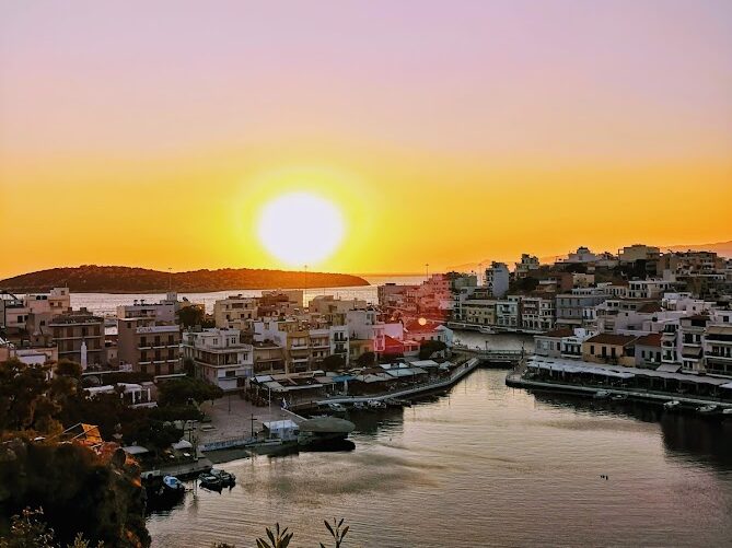
Agios Nikolaos sits on the low-lying Mirabello Bay. At its centre is Voulismeni, a lake fed by natural springs and 60 metres deep, where many fishing boats moor. Taverns and cafés line the shore, a good spot to sit with a drink and watch the fishermen and the divers exploring the deep blue. Cliffs border the southern and western shores, and you can climb the stairs to the top for a view that is at its best at sunset or sunrise.
Lake Voulismeni connects to the sea through an artificial canal. Across the bridge stands the tourist information office, and beyond it the main port, which ferries no longer reach. You can take a boat trip to nearby attractions from the quays, though Spinalonga is a long way from here. Ikosiogdóis Oktovriou Street is partly pedestrianised and makes a pleasant way to reach the central square, with clothing shops on the port side.
The local Archaeological Museum, near Konstandinou Paleologou, holds a strong collection of Minoan objects shown in chronological order. Highlights include a sarcophagus that still contains a skeleton and the “Goddess of Myrtos”, a libation vessel from the second millennium BC shaped as a long-necked, stocky woman. A later Roman find is the Potamós skull, crowned with gilded olive leaves, with a coin found between its teeth, probably payment for crossing the River Styx to the afterlife.
Elounda is the base for the shortest boat crossings to Spinalonga and holds some of the area’s best accommodation. While Agios Nikolaos is an impressive town, many of the finest places to stay lie to the north, towards Elounda. This underrated resort has real charm and a lovely church right by the sea.
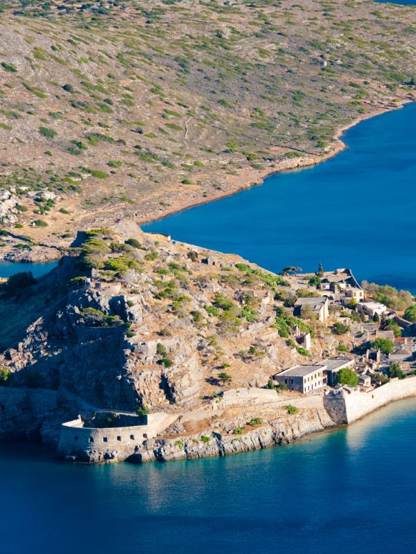
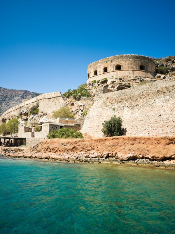
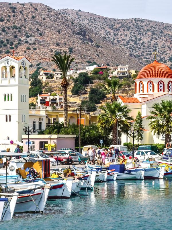
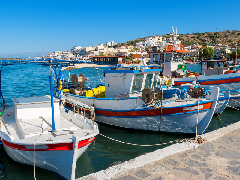
From Elounda you can reach Spinalonga Island on a much shorter trip than from Agios Nikolaos. Take care not to confuse the island with Cape Spinalónga, which you reach from Elounda across a narrow dike built over an artificial canal. In the shallow water around the dam lie the remains of the Greco-Roman city of Olous, recorded in the writings of the Greek geographer Pausanias. The town probably sank during an earthquake in the 2nd century, which spared the church on the shore (now fenced), whose walls are decorated with dolphin frescoes.
Further north sits the small resort of Plaka, home to the fastest and cheapest boat transfer to Spinalonga, right on the shore. At weekends Plaka gets crowded, so board before 11:00 and bring a sun hat and plenty of water, because the island has no shade and no shops.
Spinalonga Island carries the walls of a Venetian fortress, an Ottoman town, and Crete’s last leper colony. Its bastions and walls survive from the fortress the Venetians built in 1579 to guard the entrance to the gulf behind the island. The fortress was never taken by force. The Venetian garrison held out until 1715, 60 years after the fall of Heraklion, and left only after being granted free passage under a peace treaty. Cretan Muslims then retreated to the island and stayed until the end of the 19th century, when Cretan rebels began to attack them.
In 1903, the administrative council of Crete decided to establish a leper colony on Spinalonga. It is not known for certain whether the measure was also meant to force the Muslim islanders to leave. The disease had wreaked havoc across Crete, and the position of Spinalonga, far enough to pose no danger yet still close by, was seen as ideal for quarantine. The regime was harsh at first, and patients were treated more as criminals than as the sick. Conditions improved over the years thanks to activism, and drugs became more available after 1948, the year the colony was abolished. It takes about an hour and a half to explore the fortifications and the old town, where part of the market street has been rebuilt and a museum in the old workshops tells the island’s story.
The road inland from Agios Nikolaos passes a frescoed Byzantine chapel, an ancient Dorian city, and a well-kept traditional village, all within an easy afternoon. Head for the village of Kritsa, 12 km from the town. Before you reach it, you will see the beautiful Byzantine chapel of Panagia Kera on the right.
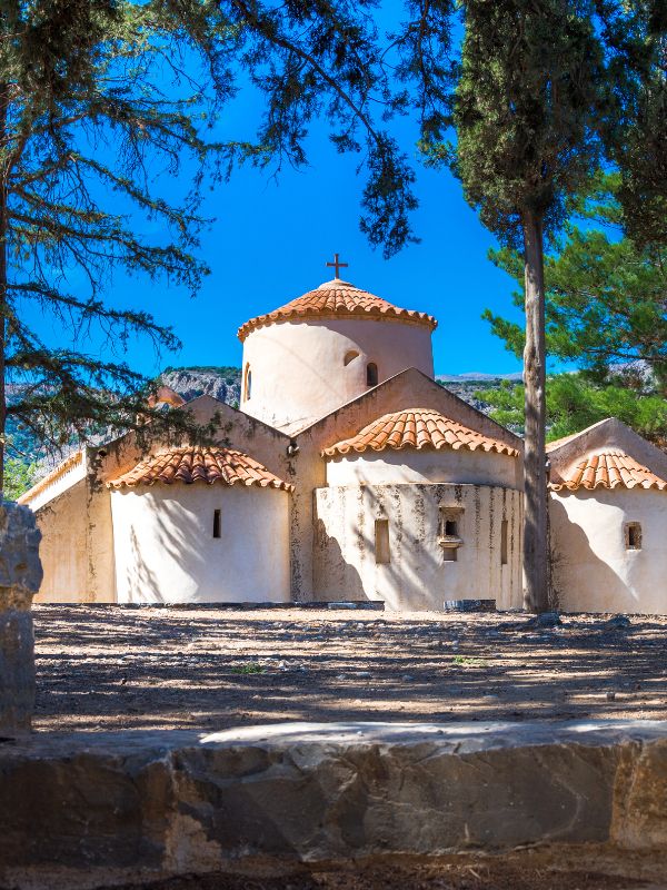
Panagia Kera was built in the 18th century and decorated with fine frescoes a century later. Give yourself time and buy the local guide at the entrance to make sense of the interior. Many frescoes are damaged or darkened, but the “Appearance of the Virgin Mary” and “The Last Supper” in the central nave, and the “Mystery of the Water” in the south aisle, still make an impression.
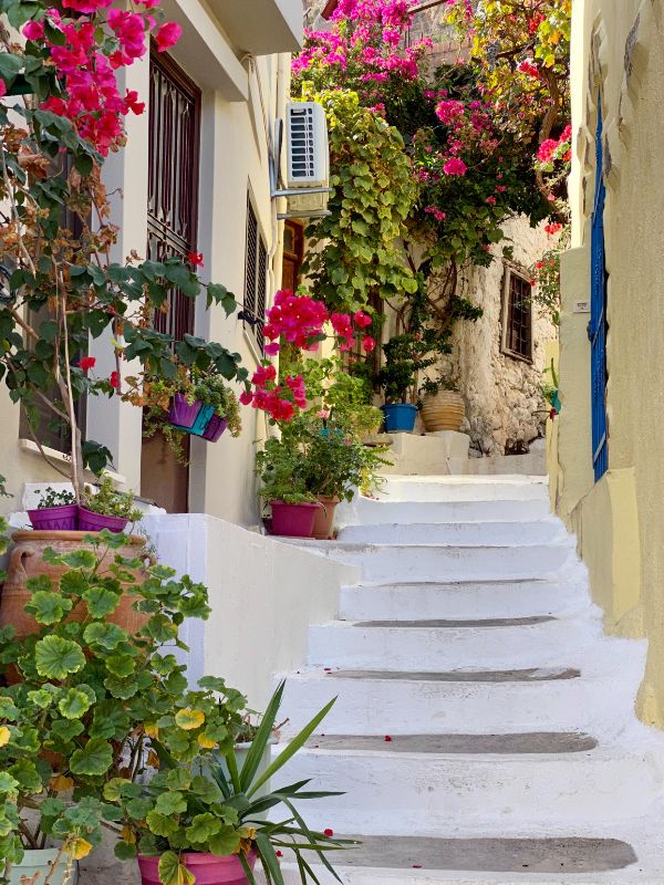
Continue towards Kritsa, but before entering the village follow the signs on the detour to Lato (access allowed). Lato is the ruined Dorian town spread across the nearby hills. Enter Kritsa afterwards for a cold drink and a rest. This traditional village is well kept and lived-in, and its charm comes from the contrast between the bright white house walls and window sills painted in vivid colours. Good taverns cluster near the central square, shaded by giant plane trees, and the town is famous for the fabrics its people weave, on show everywhere in the shops and on the house walls.
The Lasithi Plateau is a high mountain plain ringed by the Dikti Mountains, farmed for centuries and once dotted with thousands of water-pumping windmills. Kritsa is a good example of a village saved by tourism, but many others were not so fortunate, as the rural economy has declined since the 1970s. That decline shows most in the guarded Dikti Mountains, cut off from the rest of the island for many years after World War II because there were no access roads and you could only reach the area on foot, horse, or donkey. Ironically, the road up to the Lasithi Plateau (Oropedio Lasithiou) only sped up the depopulation.
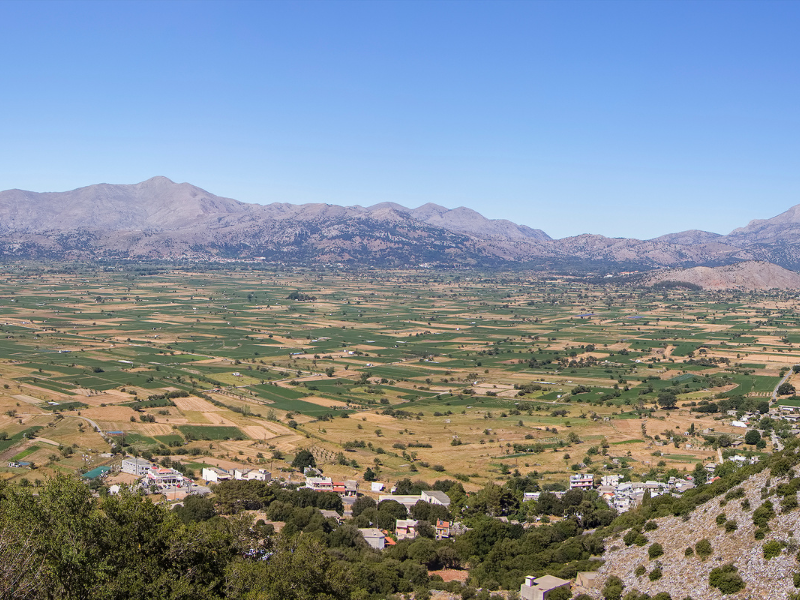
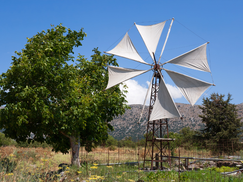
Two main roads climb to the plateau at an altitude of 850 m. From the New Road near Malia you can drive up via Krasi, which has an ancient tree in its central square, and Kera, where you can visit the 14th-century monastery of Panagia Kardiotissa before reaching the Seli Ambelou pass, whose stone windmills give a spectacular view. Another option climbs from Neapoli on a long road that tourist buses avoid, passing the villages of Exo and Mesa Potami with panoramic views of the plain and the peak of Psari Madara (2,148 m).
A single road circles the plain and links all the small communities, though many houses stand abandoned and the shops have long closed. The little farming that continues is held back by heavy spring rains, as water collects in the valley and the soil takes a long time to dry. The plateau grows mainly potatoes and cereals, with flocks of sheep grazing quietly and vines and fruit orchards on the slopes. The famous windmills that once pumped water in late spring have almost vanished, with only a few left at the plateau’s edge, kept for visitors because they have long been disconnected and their pools sit empty.
The only still-active town is Tzermiado. Take the plain clockwise and stop at Agios Georgios to visit the three rooms of the Peasant Museum, which has expansion plans.
The Diktaion Cave, on the plateau’s southern side 1 km from the village of Psychro, is the cavern where legend says Zeus was born. Springs of clean water and giant plane trees mark the spot. Ancient offerings found inside confirm the cave’s importance during the Minoan civilisation. The walk from the car park to the entrance takes 15 minutes (or a costly donkey ride). From the entrance the corridor drops steeply for 65 m into a hall that can get crowded in high season, where you can pick out the figure of Cronus trying to swallow the newborn Zeus and the stalagmites from which Zeus is said to have suckled.
The coastal road east of Agios Nikolaos runs past sandy Istro and the Minoan town of Gournia on its way to the port of Sitia. Take care on this stretch, because the road is still under construction. Follow the line of the gulf south to Istro, which has several beaches (the finest being Voulisma), then east to Gournia, one of the area’s most significant archaeological sites, 18 km from Agios Nikolaos.
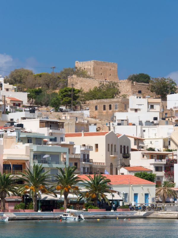
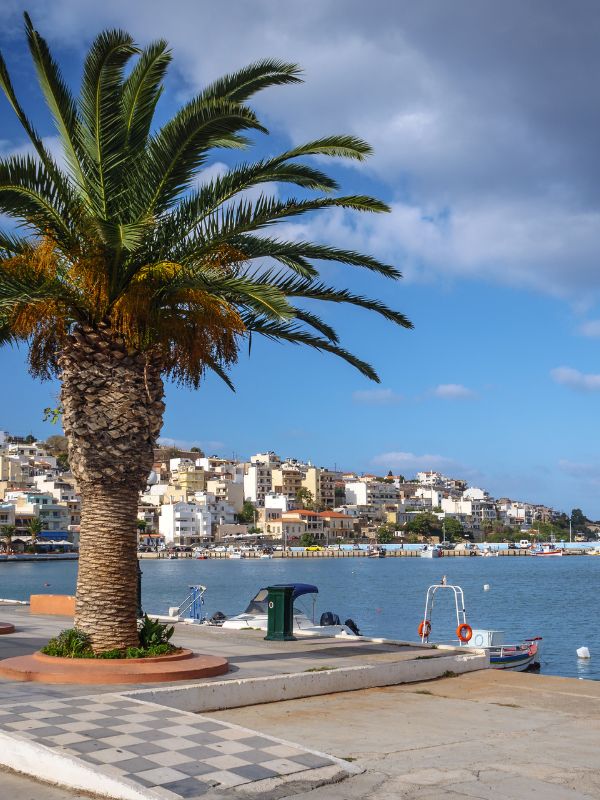
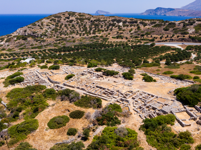
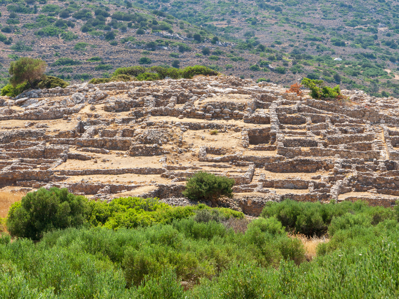
At Gournia you see stone walls and the foundations of multi-storey houses linked by cobbled streets and scattered across the hillside. Nowhere else on the island is it easier to picture how ordinary people lived in ancient times. The palace stood at the foot of the hill, its west courtyard holding an altar for sacrifices and rooms that stored objects used in religious ceremonies. Gournia was a large city that reached as far as its port, and much of it is still unexcavated. The American archaeologist Harriet Boyd Hawes uncovered the site at the start of the 20th century, and you get the best panorama from the main road above it.
From Gournia the old national road winds through gentle hills to Sitia. The one coastal stop worth the detour is Mohlos, now a relaxed resort with no beach but an important place in Minoan times. Its old Minoan settlement sits on a small island just 150 m offshore, which you can reach by boat or even by swimming, though 3,000 years ago it was joined to the mainland. A little further out lies Psira, another former Minoan port that you need a boat to visit.
Sitia is a busy port city of about 9,000 people, including students at the local geology school and the Police Academy, who fill the ouzeris, bars, and restaurants along the seafront all year. Another Minoan settlement lies at Petras, 1 km to the east, but the Venetians chose to build their fortress, Kazarma, on top of the hill. The Turks destroyed the Venetian buildings when they took the city, yet the network of alleys and narrow streets survives as an architectural delight. Sitia’s Archaeological Museum, close to the centre, shows finds mostly from Zakros, above all painted lárnakes (clay coffins decorated with ceramics), along with wine vessels and even a grill.
The far eastern tip of Crete holds a fortress-monastery, a palm-fringed beach, gorge hikes, and the Minoan palace of Zakros. Sitia is the gateway to this region, sparsely populated today, with most villages inland living on olives and grapes. These remote areas hide important Minoan sites, a sign that many people lived here 3,000 years ago. If you want several days to explore, both Palekastro and Kato Zakros have plenty of accommodation, and, surprisingly for so remote a corner, a busload of visitors arrives daily from Agios Nikolaos and beyond.
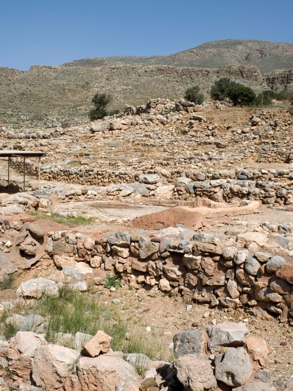
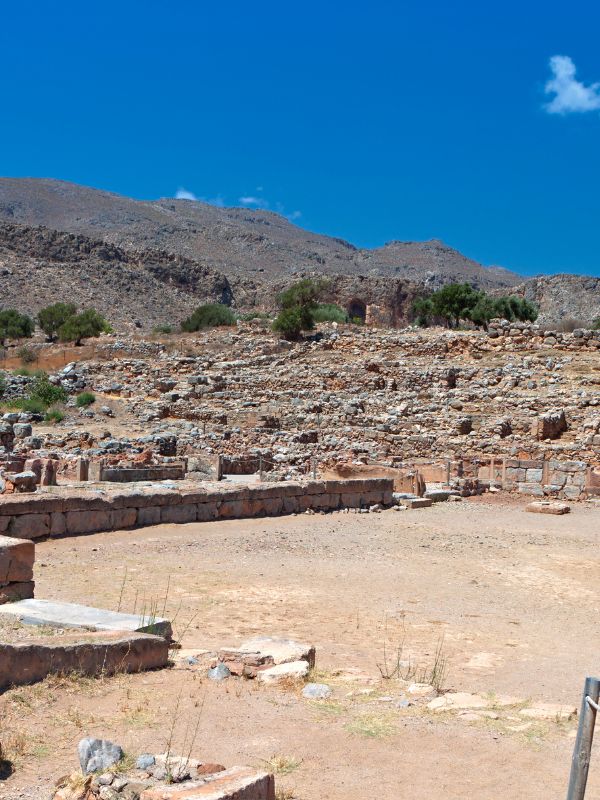
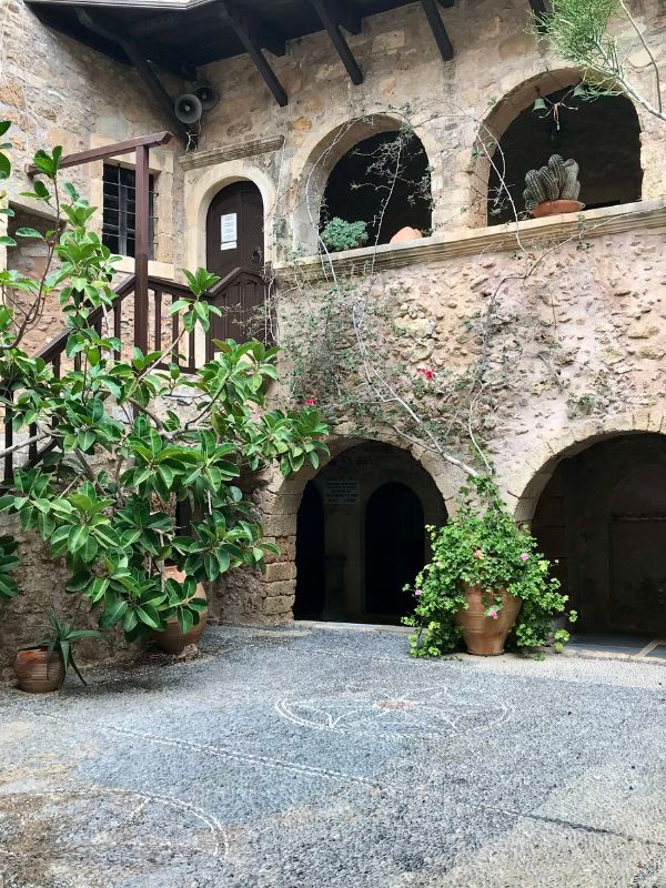
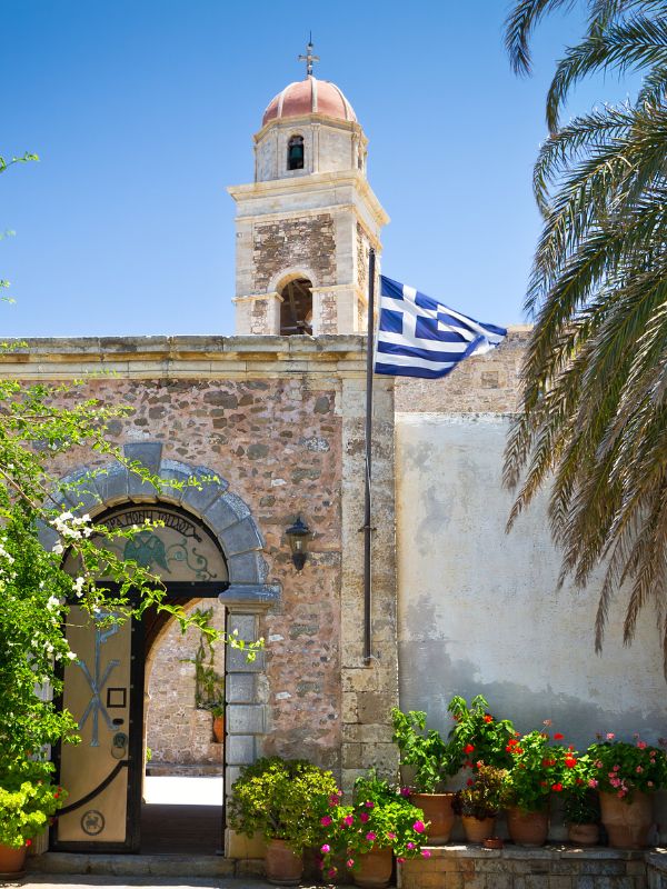
Moni Toplou (Toplou Monastery) is one of the most important religious sites in Crete and stands like an oasis in an arid landscape. It was established in the 14th century for contemplation and for protection against outside threats. “Toplou” is a word of Turkish origin meaning “with a cannon”, while the monastery’s correct name is Kyria Akrotiriani, a hint that the priesthood here was not easily intimidated. The walls make it look more like a fortress than a monastery, though they did not save it from a pirate attack in 1498.
Toplou played a key role in the Cretan revolts against the Turks, and 12 monks were hanged in 1821 over the rebellions. More recently, in World War II, British troops and villagers sheltered here, and the abbot and several monks were shot during counterattacks before the war ended. The church and the monastery museum hold many treasures, including an 18th-century icon painted by Ioannis Kornaros with 61 miniature scenes based on the Orthodox prayer “Lord, Thou Art Great”, topped by the Holy Trinity ringed, unusually, by the signs of the zodiac. Two galleys with rare inscriptions and copies of the Gospels are also on show. Most of the monastery is closed to the public, but you can buy copies of the icon and olive oil the monks produce from the trees in the monastery orchard.
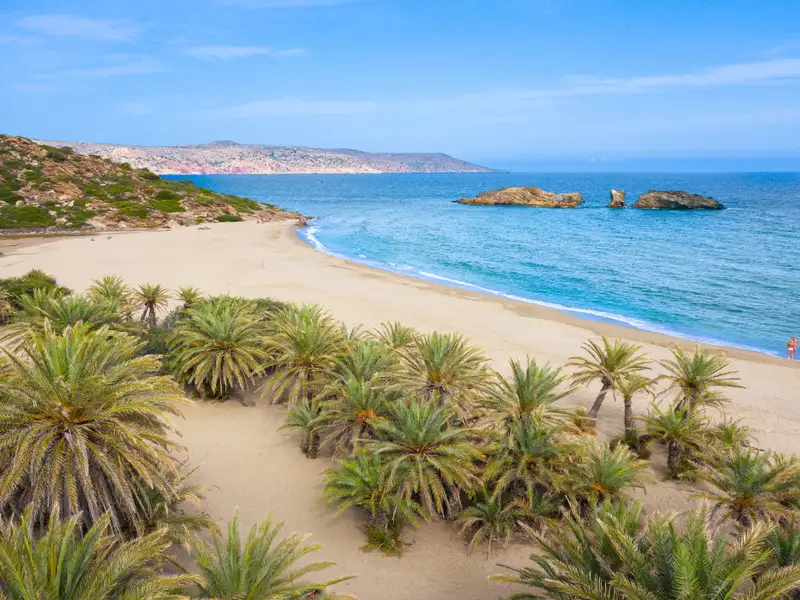
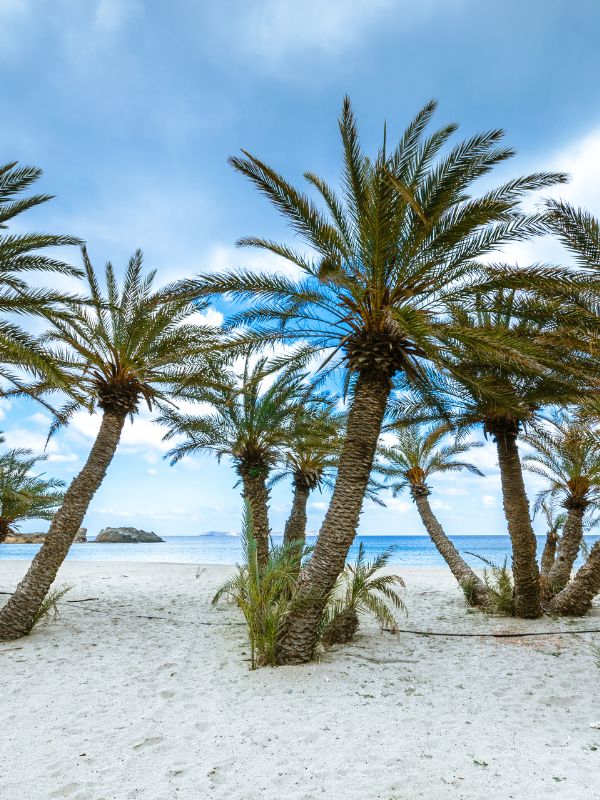
Vai is the palm-fringed beach northeast of Toplou, one of the natural wonders of Crete. An oasis of date palms appears suddenly in the arid landscape, backing a golden beach and azure water. Vai is beautiful and, as a result, packed to the brim in summer. Legend says the date palms grew from seeds spat out by Arab pirates, but the less dramatic truth is that they are a local species, Phoenix theophrastii, which has grown on the island for thousands of years. If Vai is full, head to one of the three quieter beaches 3 km further north at Itanos, where you will find date palms too.
The roads between Vai and Toplou meet at the village of Palekastro, where the Minoan site of Rousolakkos (still under excavation, with free access) leads down to Hiona Beach, a former ancient port. A steep cliff separates Hiona from Koureménos beach, a favourite with windsurfers.
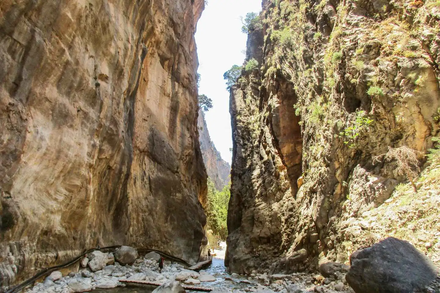
South of Palekastro, a narrower road pulls away from the coast through pine-clad villages that make fine starting points for hikes, including two gorges. The Chochlakies canyon ends at Karoúmes beach, and the Zakros canyon is better known as the Valley of the Dead. Each walk takes about an hour and a half to descend and roughly two hours to climb back, and the marked Valley of the Dead has drinking water along the way. The reward at the bottom is a Minoan palace and a beach lined with taverns.
The Zakros Palace lies close by. In ancient times the city had a large port and sat well for trade with Egypt and Syria. Construction of the palace began around 1900 BC, though nothing of that first structure survives above ground. The visible remains belong to the second palace, built around 1600 BC, which the earthquake of 1450 BC left in ruins, after which the city was abandoned. The west wing was given over mainly to religious ceremonies, with workshops above; the north wing held the rooms of the royal family’s relatives and the central kitchen; and the east wing held the royal bedrooms, where archaeologists found treasures in many rooms. The most striking feature is the cistern room, where a circular cistern still holds water and freshwater turtles now live, beside a spring fountain whose steps descend to a small square basin.
The south coast runs from remote Xerokampos west through Ierapetra to Myrtos, past quiet beaches and greenhouse country. At Xerokampos, the next seaside settlement after Kato Zakros, the road turns inland to the high village of Ziros. The lower coast is not reachable by car and is not especially dramatic, so it is better to stay inland on the southern road from Sitia to Etia, a Venetian-founded village that now stands abandoned but keeps a beautifully restored Venetian villa laid out with details of everyday Cretan life in the Venetian period.
Whichever route you take, the next stop of interest is Makry Gialos, a little-known and slightly disorganised resort with a gently sloping beach and many taverns by the sea. West of here the coast grows busier, with pine forests and sandy bays (the loveliest being Agia Fotia and Ahlia) on the way to Ierapetra, which you can also reach by the plainer road that crosses the island from Gournia.
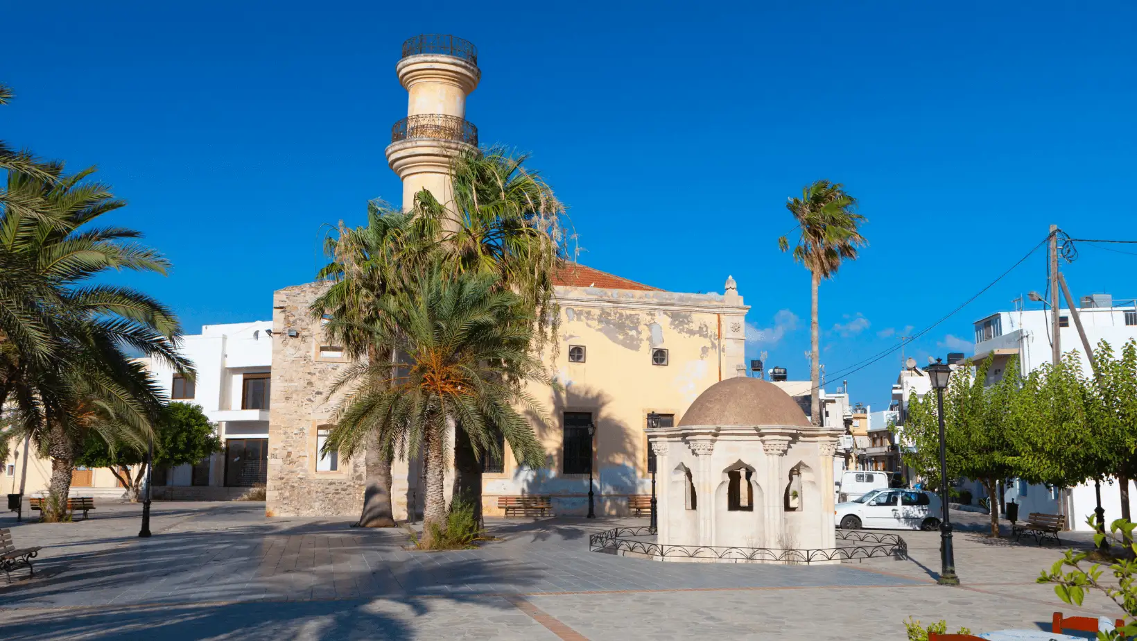
Ierapetra is the fourth largest city in Crete and is said to be the southernmost point in Europe. In antiquity it was Ierapytna, the last Cretan city the Romans conquered, and they used it as a base for their push into Egypt. Today Ierapetra is an agricultural centre packed with greenhouses, with a small resort in its eastern part. Its list of sights is short: a small Venetian castle in the old town, an 18th-century mosque with a truncated minaret, and an archaeological collection housed in a former Qur’an school.
West of Ierapetra the greenhouses thin out towards Myrtos, a relaxed, alternative resort beside the Minoan sites of Fournou Koryfi and Pyrgos. Despite the damage it suffered late in 1943 during World War II, Myrtos is a pleasant, welcoming place, almost a small town in its own right. If Myrtos does not suit you, carry on 5 km west to Tertsa, another long beach watched over by the distant Dikti Mountains. A short trip inland (33 km) reaches Ano Viannos, a surprisingly large village at the foot of the mountains, whose main sight is Agía Pelagía, a 16th-century church (well signposted and open all the time) with frescoes of the life of Christ. From here it is easy to carry on into the Heraklion region.
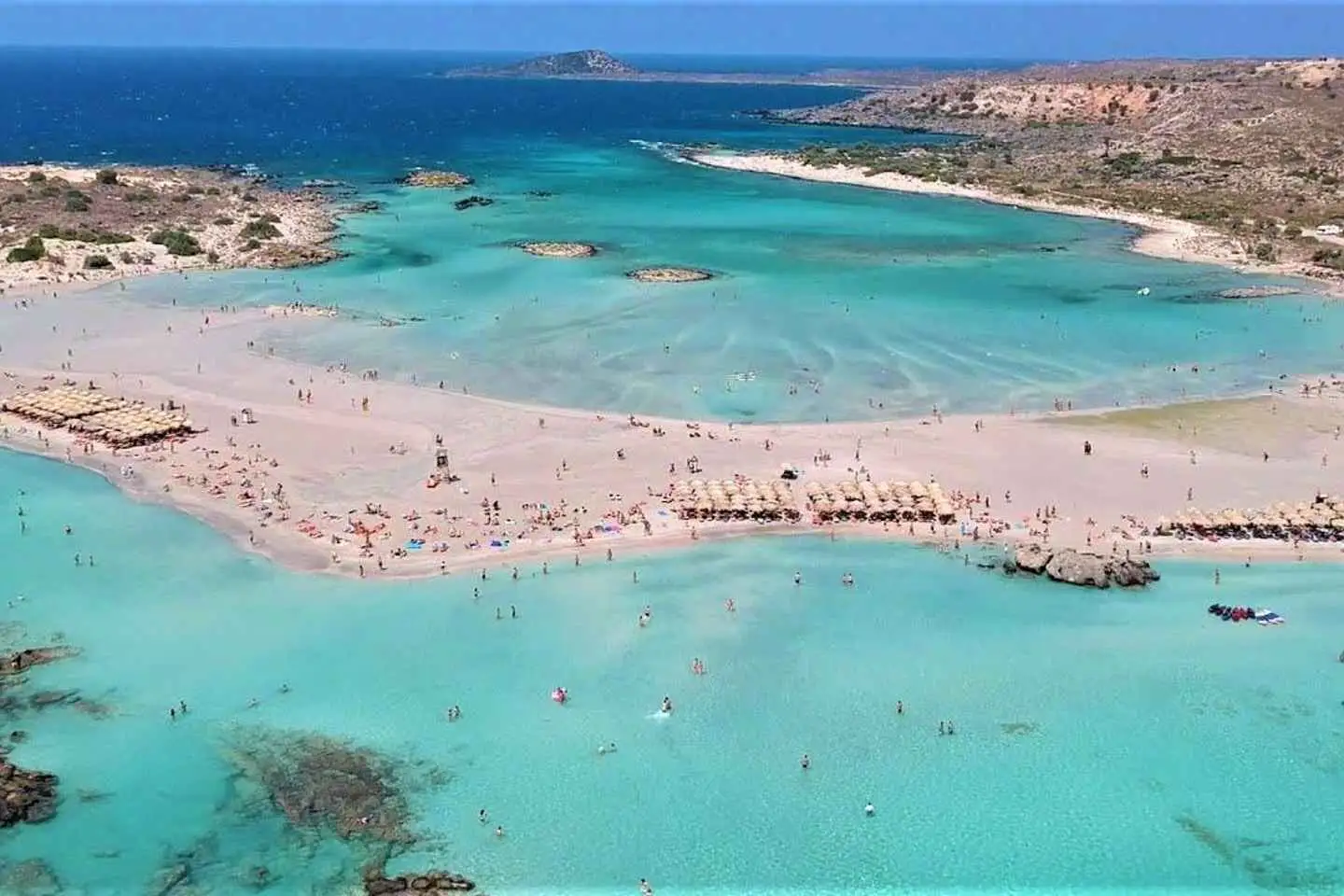
Chrissi Island (also called Gaidouro) is a flat, protected islet 7 nautical miles off Ierapetra, reached by day-trip boats from the town pier. You can see it from the shore. The land is almost flat, dotted with junipers, and edged by at least two beaches of fine white sand. In season you can have lunch at the port tavern. Boats set out at 10:10 and sail back at 16:00.
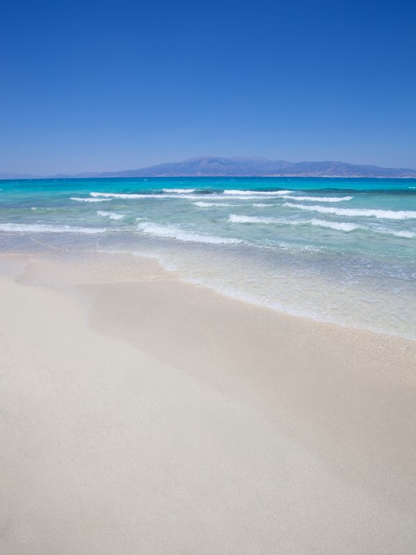
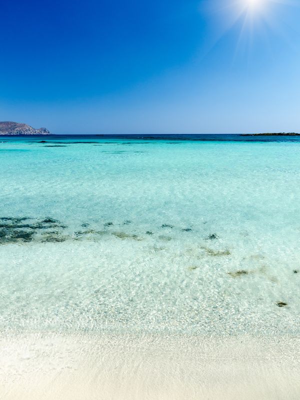
The local government has recently changed how visitors reach Chrissi. Authorities have suspended landing boats directly on the island, so boats now drop you 10 to 20 metres from the shore and you swim in to reach the beach. The island no longer has sun umbrellas or other amenities. These measures protect Chrissi’s land and marine environments.
Eastern Crete is not the first choice for many travellers, who head instead for the western half of the island with its iconic pink beaches and Venetian-influenced towns like Chania and Rethymno. The eastern region has its own pull, though, full of authenticity and deep-rooted traditions that give a more undiluted glimpse of Cretan life. From the calm beauty of its landscapes to the culture waiting in its villages, eastern Crete rewards anyone who ventures off the well-trodden path, so save it for a return visit and give yourself time to find its hidden corners.
Plan several days if you want to reach the far east around Zakros and Vai, because Palekastro and Kato Zakros both have plenty of accommodation for an overnight base. You can see the resort strip, Agios Nikolaos, and Spinalonga in a shorter loop from a north-coast base, then add the Lasithi Plateau, Sitia, and the south coast as separate days.
A rental car is the practical way to cover eastern Crete, because most of the region’s villages, gorges, and Minoan sites sit off the main national road and see little bus service. A daily bus does run from Agios Nikolaos towards the far east, but a car lets you reach inland stops like Kritsa, the Lasithi Plateau, and Ano Viannos on your own schedule.
Take a boat to Spinalonga from Plaka, which offers the fastest and cheapest transfer right on the shore, or from Elounda on a shorter crossing than the one from Agios Nikolaos. Board before 11:00 at busy weekends, and bring a sun hat and water, because the island has no shade and no shops.
Day-trip boats still run to Chrissi Island from the Ierapetra pier, but they no longer land on the island. Boats now stop 10 to 20 metres offshore, so you swim in, and there are no sun umbrellas or amenities, part of measures to protect the island’s land and marine environments.
Legend places the birth of Zeus in the Diktaion Cave on the southern side of the Lasithi Plateau, 1 km from the village of Psychro. The walk from the car park takes about 15 minutes, and the cave corridor drops steeply for 65 m to the hall where the myth is set.